free to be able to rate and comment on reports (as well as access 1:25000 mapping).
Some weeks ago my son asked if we could head off for a few days and do some hills. The original plan had been to go up to Torridon and introduce him to some of the big boys up there, maybe meet up with Allison and Craig too, but the weather was not co-operative. I finally decided on Arran, which has fantastic hills. Schools week meant that all the crossings from Ardrossan were full, so a drive up to Claonaig on Saturday morning was required. I thought we'd do Goatfell from Corrie on Saturday, Tarsuinn & Cir Mhor from Rosa on Sunday and maybe Abhail from Sannox on Monday.
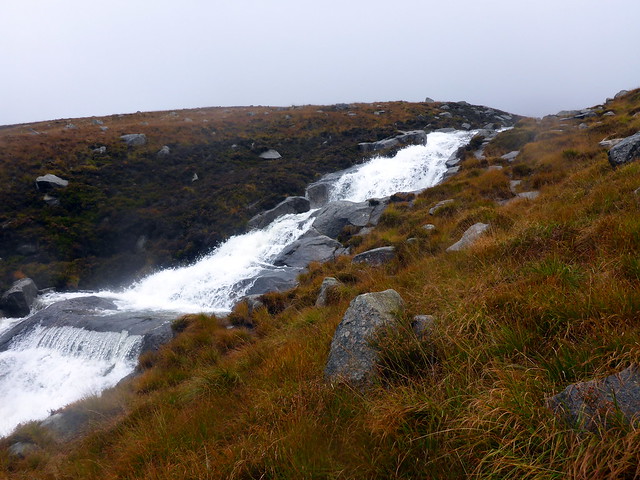
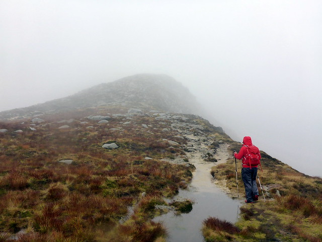
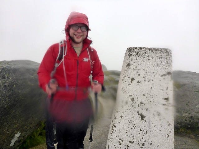
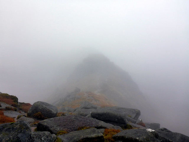
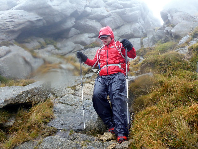
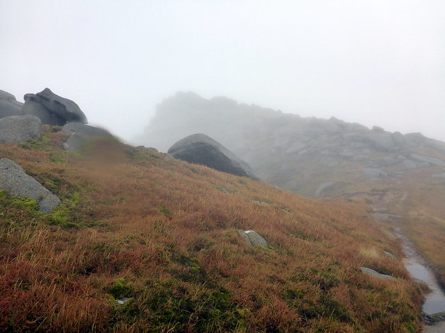
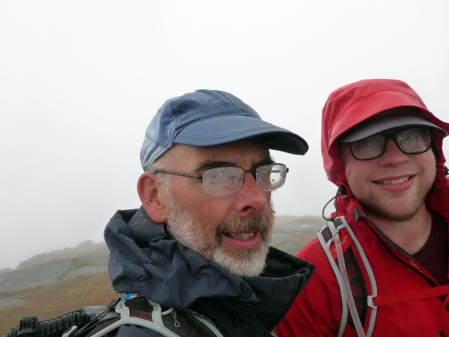
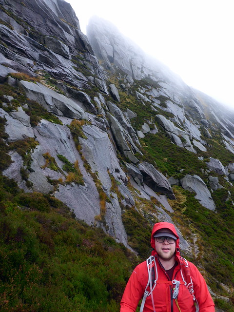
Waiting for the ferry, Arran appeared then disappeared from view behind banks of cloud. This didn't augur particularly well for a good climb. We drove round to Corrie and set off up the path to Goatfell. Rain descended and winds at first caressed then berated. The Corrie Burn flowed fast and white - although crossing it was not a major problem, fortunately. We entered clag about 600m so were spared the sight of ascending Goatfell's shoulder. Reaching the summit we were alone until a group of runners joined us - I believe there had been a running event planned for the weekend (going by the small route marking flags) but canceled due to the weather. I showed the boy the rudiments of compass navigation at the summit, sheltered behind the cairn, as we made for North Goatfell and Mullach Buidhe. All that could be seen were vague shapes of boulders - nothing of the grand views to Cir Mhor unfortunately. We made it to the top of North Goatfell and pressed on along the ridge to Mullach Buidhe - the boy was not being spared Simm bagging! A tiny cairn of stones perches on the highest boulder. We retreated to the path and began to descend, wet and blustered.
 P1170706
 by
Al, on Flickr
 P1170708
 by
Al, on Flickr
 P1170709
 by
Al, on Flickr
To North Goatfell
 P1170710
 by
Al, on Flickr
Oh such fun!!
 P1170711
 by
Al, on Flickr
Mullach Buidhe
 P1170713
 by
Al, on Flickr
 P1170716
 by
Al, on Flickr
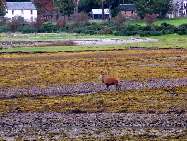
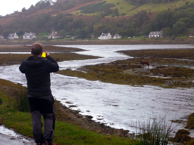
Back at the car we removed wet clothes and set off for the campsite at Lochranza. The rain had finally abated and we pitched the tent - only one other tent there so plenty of choices. A wee walk along to the castle after tea, serenaded by the roaring of stags, something that was to continue over the weekend. Stags don't seem to sleep much - given their continued roaring through the night...
Watching the stags at Lochranza
 P1170718
 by
Al, on Flickr
 P1170720
 by
Al, on Flickr
 P1170721
 by
Al, on Flickr
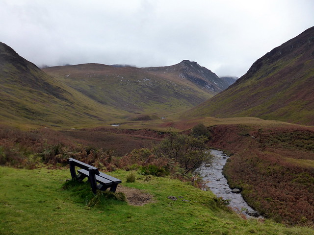
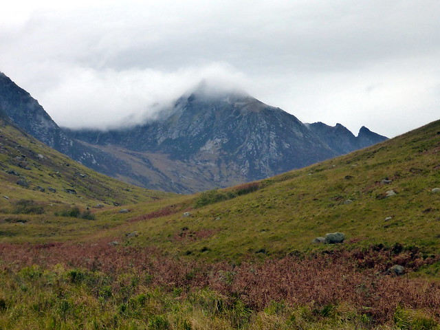
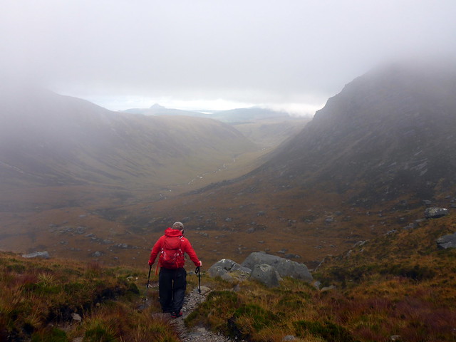
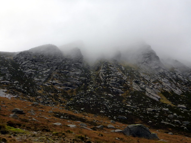
Sunday was meant to be the best day weatherwise and I was hopeful as we drove to Glen Rosa that we'd see a bit more. The tops were clear as we drove around - a fabulous view of the Witches Step greeted us driving past Sannox. Parking at the campsite, who should we meet but the Rodmeister, heading off to do Caisteal Abhail. We kitted up and set off along the path, through the Highland coos and the gate in the deer fence. Up the steepish path beside the Garbh Allt then across the river. Sadly the clag was descending - the tops now concealed from view. The ground became boggier as we laboriously made our way towards Beinn Nuis. No sightings of plane wreckage today. Onwards to Tarsuinn, no views at all now and rain greeting us. The descent was slippy and time consuming. Continuing to Cir Mhor seemed rather pointless in the clag. I had intended to take the track from Bealach an Fhir- Bhogha to include Beinn a Chliabhain and we set off down what appeared to be the start of the path - this did not look promising as it descended very steeply over wet grass initially then onto slabs. I could see what I took to be a path winding round Consolation Tor, so we did seem to be in the right area, but there was no way I was leading my boy any further down this track in the current conditions. We returned to the bealach and decided to skirt round A'Chir to take the path into Coire Buidhe. Met another walker who had come from there and was planning to descend the way we'd started - we wished him luck.
Start of Glen Rosa
 P1170723
 by
Al, on Flickr
See - there are hills up there
 P1170724
 by
Al, on Flickr
Garbh Allt
 P1170725
 by
Al, on Flickr
Crossing like a pro
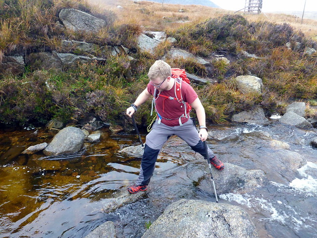 P1170728
 by
Al, on Flickr
 P1170730
 by
Al, on Flickr
Summit Tarsuinn
 P1170731
 by
Al, on Flickr
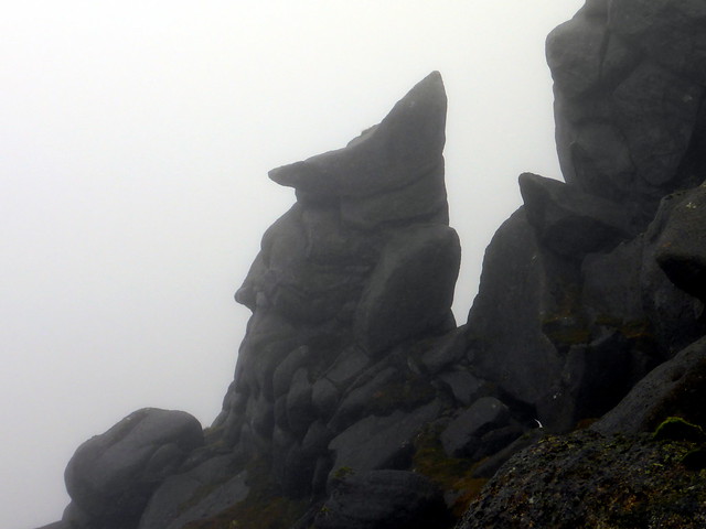
Under A'Chir
 P1170732
 by
Al, on Flickr
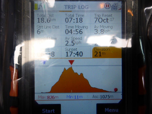
I had hoped to reconnoitre A'Chir to see if it was possible to climb up from the middle of the peak to the summit (a simm), avoiding the ridge itself. However, it seemed far too slabby to consider this, particularly in clag. We reached the cairn-marked path at the head of Glen Rosa and started down - A'Chir looks much more climbable from this side - one for another day. The rain lessened as we walked down into the glen, the day improved generally as we moved down out of the clag. Ally mentioned to me that he prefers the idea of climbing hills more than he likes the actual process of doing so, and admitted he didn't possess my determination in all weathers. I was sorry that he'd seen none of the wonders of these hills. We both enjoyed the afternoon meander along Glen Rosa, talking away. It had taken us over 7 hours to nab one hill.
Descent into Glen Rosa
 P1170734
 by
Al, on Flickr
Cir Mhor remains steadfastly clagbound
 P1170735
 by
Al, on Flickr
 P1170737
 by
Al, on Flickr
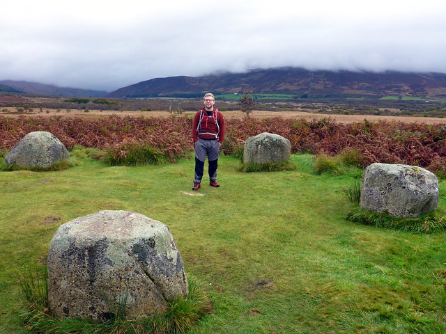
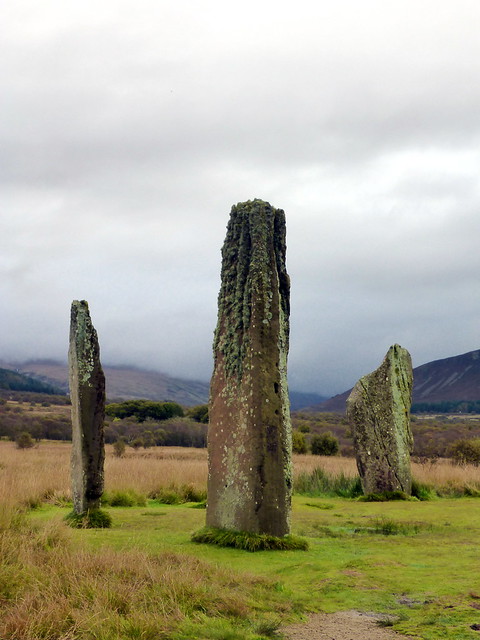
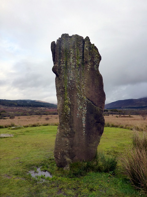
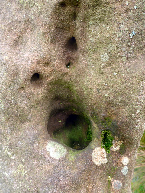
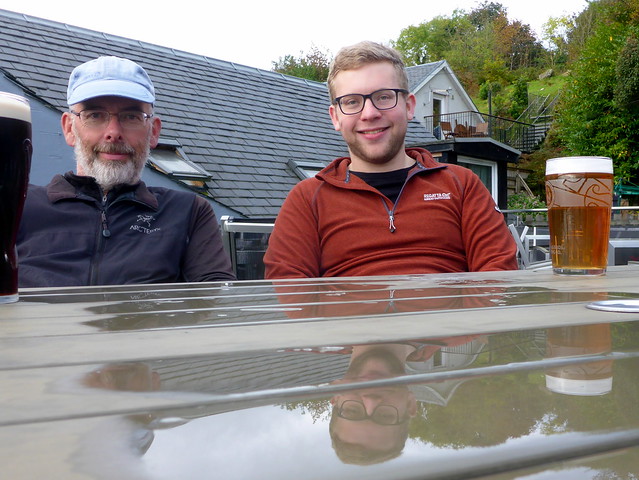
The forecast for Monday was more of the same. I left the choice of what we did to Ally - he wasn't overly keen to go up another clag rouded hill so instead we drove down to the standing stones at Machrie Moor then around to Glenashdale to walk up to the Falls and the Giant's Graves. At Machrie Moor Ally had brought his drone, which he sent up for some ariel views. I watched a Peregrine start towards the drone, then swoop off in pursuit of another bird. It was even sunny, although clag continued to adhere to anything over 400m. We did watch a pair of eagles rise from the trees below and soar in ever expanding circles out over the sea, when we paused for lunch at the top of Glenashdale. Managed a pint in the PHT then the mid-afternoon ferry home.
 P1170738
 by
Al, on Flickr
 P1170739
 by
Al, on Flickr
 P1170747
 by
Al, on Flickr
 P1170748
 by
Al, on Flickr
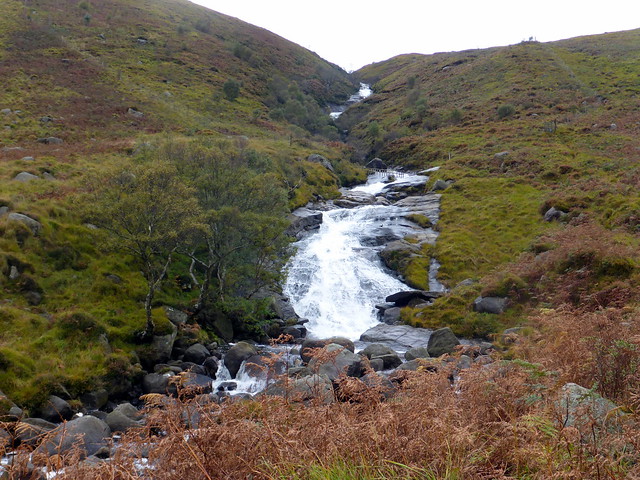
Glenashdale falls
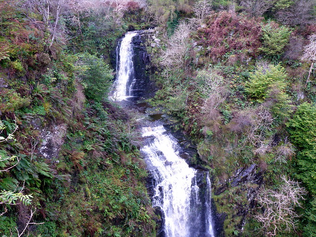 P1170750
 by
Al, on Flickr
Holy Isle
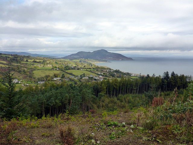 P1170752
 by
Al, on Flickr
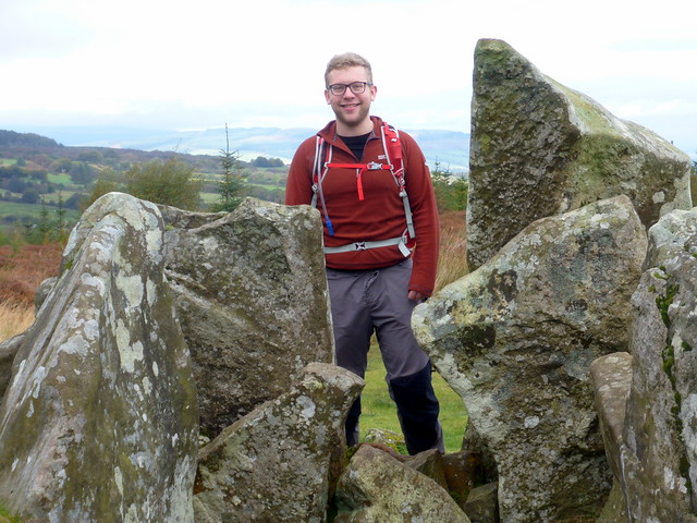
Giants' Graves
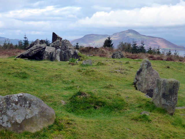 P1170754
 by
Al, on Flickr
 P1170756
 by
Al, on Flickr
 P1170757
 by
Al, on Flickr
