free to be able to rate and comment on reports (as well as access 1:25000 mapping).
A weekend away in the Lakes gave us the opportunity to nibble away at the fells on the western edge of the region, I'd looked at the map and found we'd more or less finished them all apart from Grike, Crag Fell and Lank Rigg, they were in very easy reach from Cockermouth (Premier Inn) so decided to have a wander around them and perhaps go further afield if the weather was good, Caw Fell and Haycock are accessible as an extension and we hadn't been on those before so that was worth a shot if we had the energy.
Well, as we've become accustomed to this year, the forecast was c?&p for the Saturday so decided we'd concentrate on the three just to satisfy our plans, at least we'd come away with something even if it's a shortish outing.
Setting off from the digs in resonable time we headed for Ennerdale Bridge and then the road out towards the parking spot around Scaly Moss, all the way the weather was just appalling, very low cloud, the rain being driven by a fairly brisk wind, we almost decided not to bother to be honest but decided to go to the start of the walk and decide then.
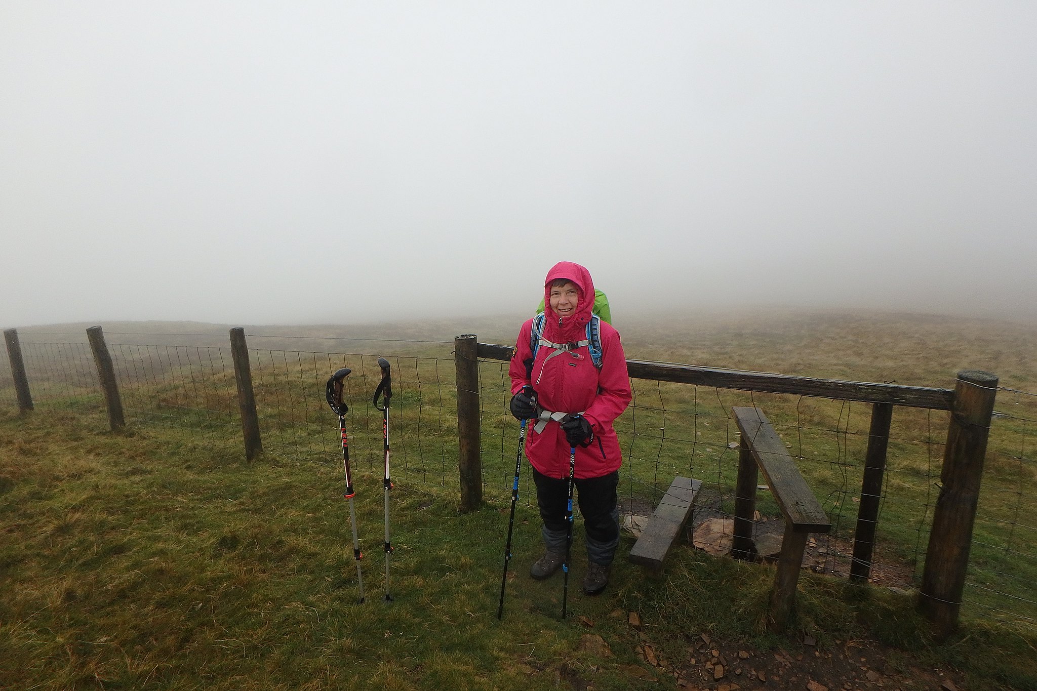
We parked up, no one else was there, the rain was lighter, the wind had eased a bit and it was looking a bit brighter to the west. It was almost automatic, without a word we found ourselves putting our boots and jackets on, shouldering our rucksacks and sorting the poles out.
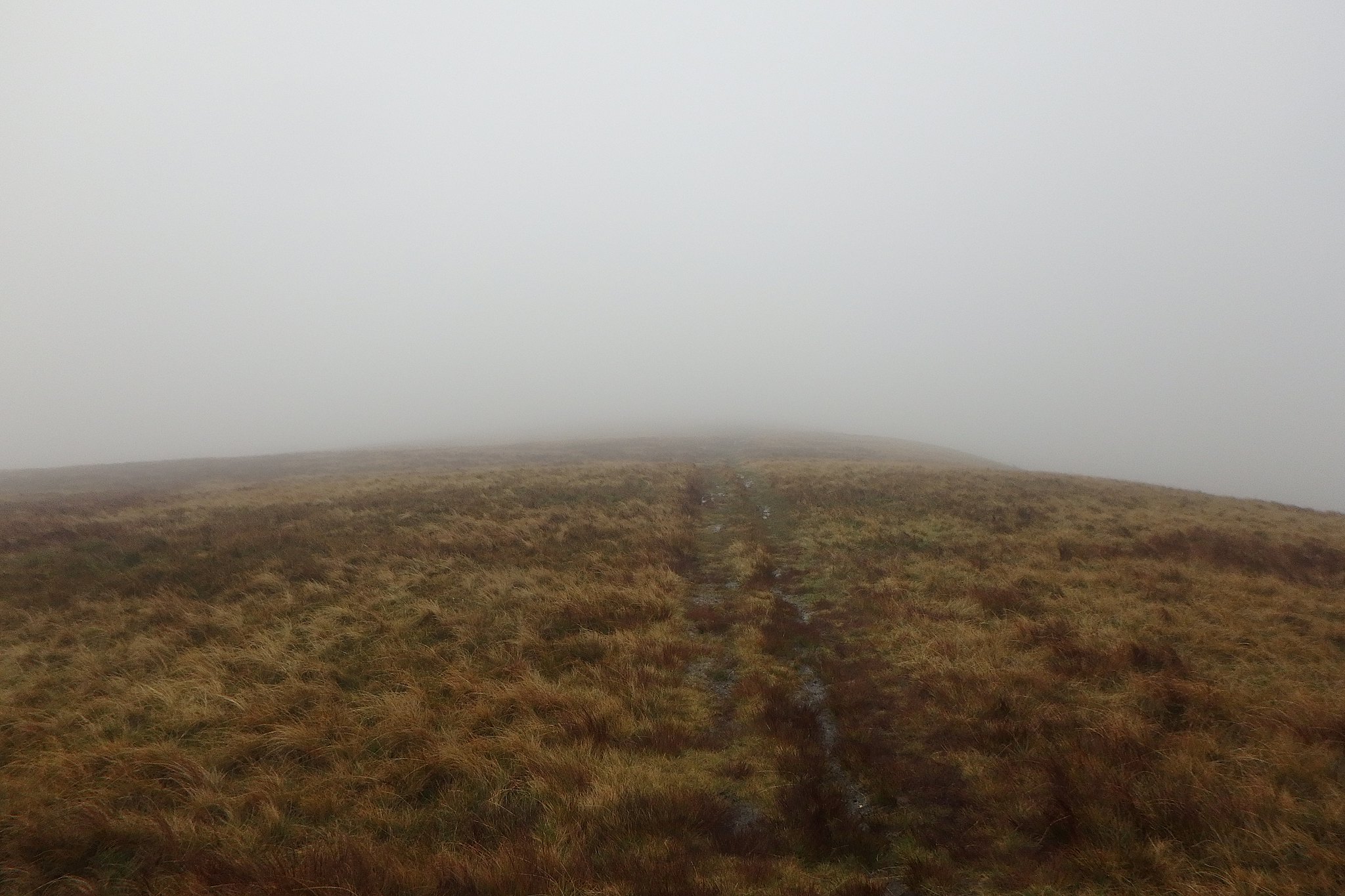
Weather looking a bit grumpy.

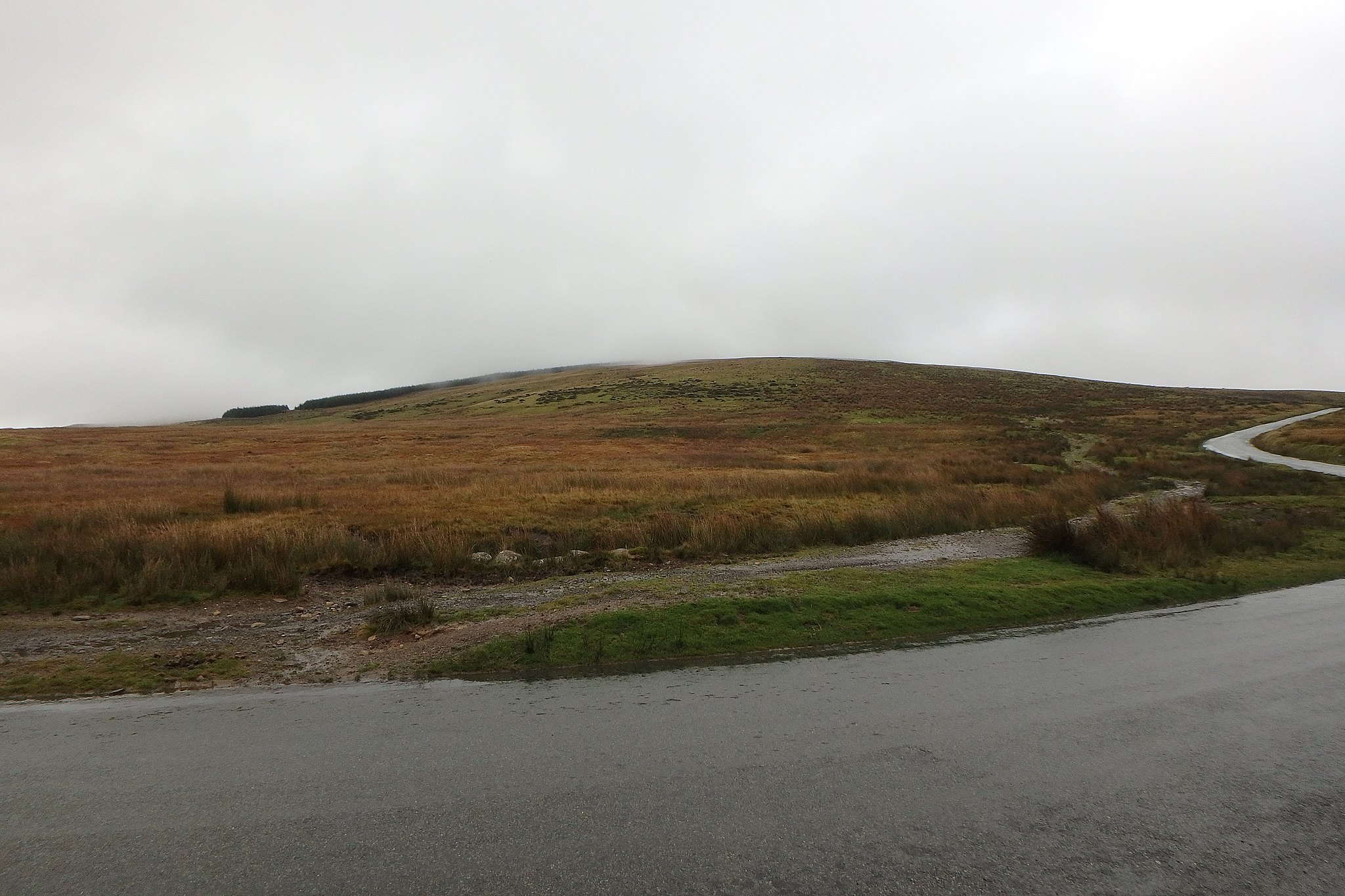
We were off, sod it!, it's better than being sat at home, the start of the path to Grike is on the opposite side of the road from the parking area, just turn right along it and you're on your way. A short distance up the track I turned around to look back and saw another car had joined ours and people getting ready to set off too, so we weren't the only eejits, the downside to this glance back was the sight of the weather closing in again.
The track leads to a gate on the edge of the plantation, through this and carry on ahead, there's been quite a bit of felling so a bit further on the trees are gone.
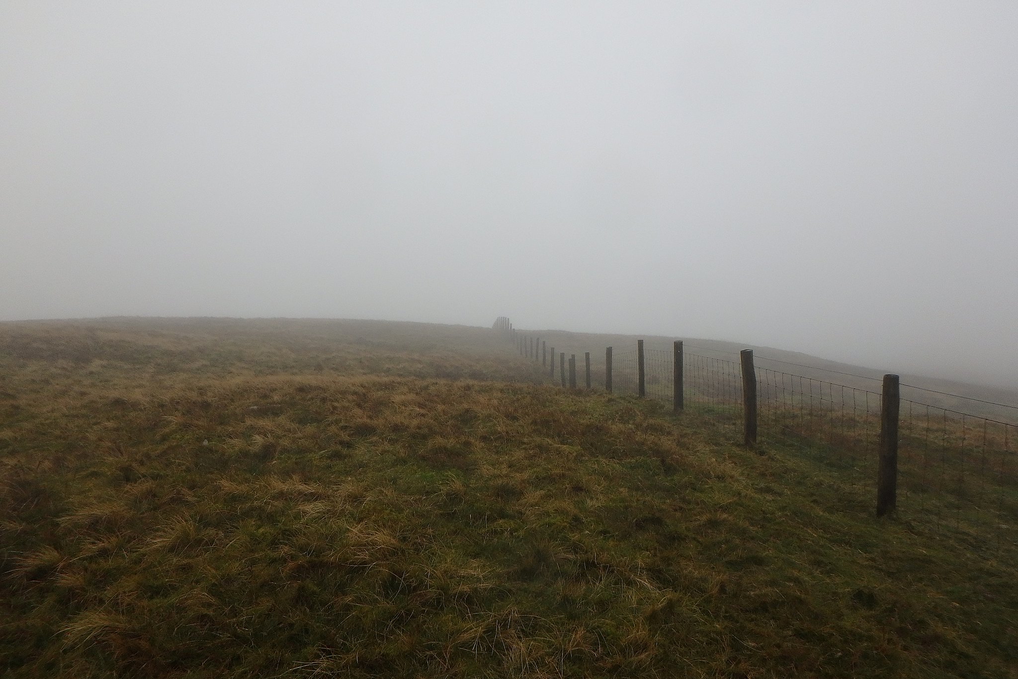
There's a split in the track, ignore the one heading down to the right and the short one up to a gate and continue on the one ahead which would have been on the edge of the trees. A short distance along this there's a gate in the fence on the left with a stile next to it, this is the start of the path up Grike, not long after the stile, around 420m we entered the clag so no views to describe.
A bit further up the path there's another fence with a stile
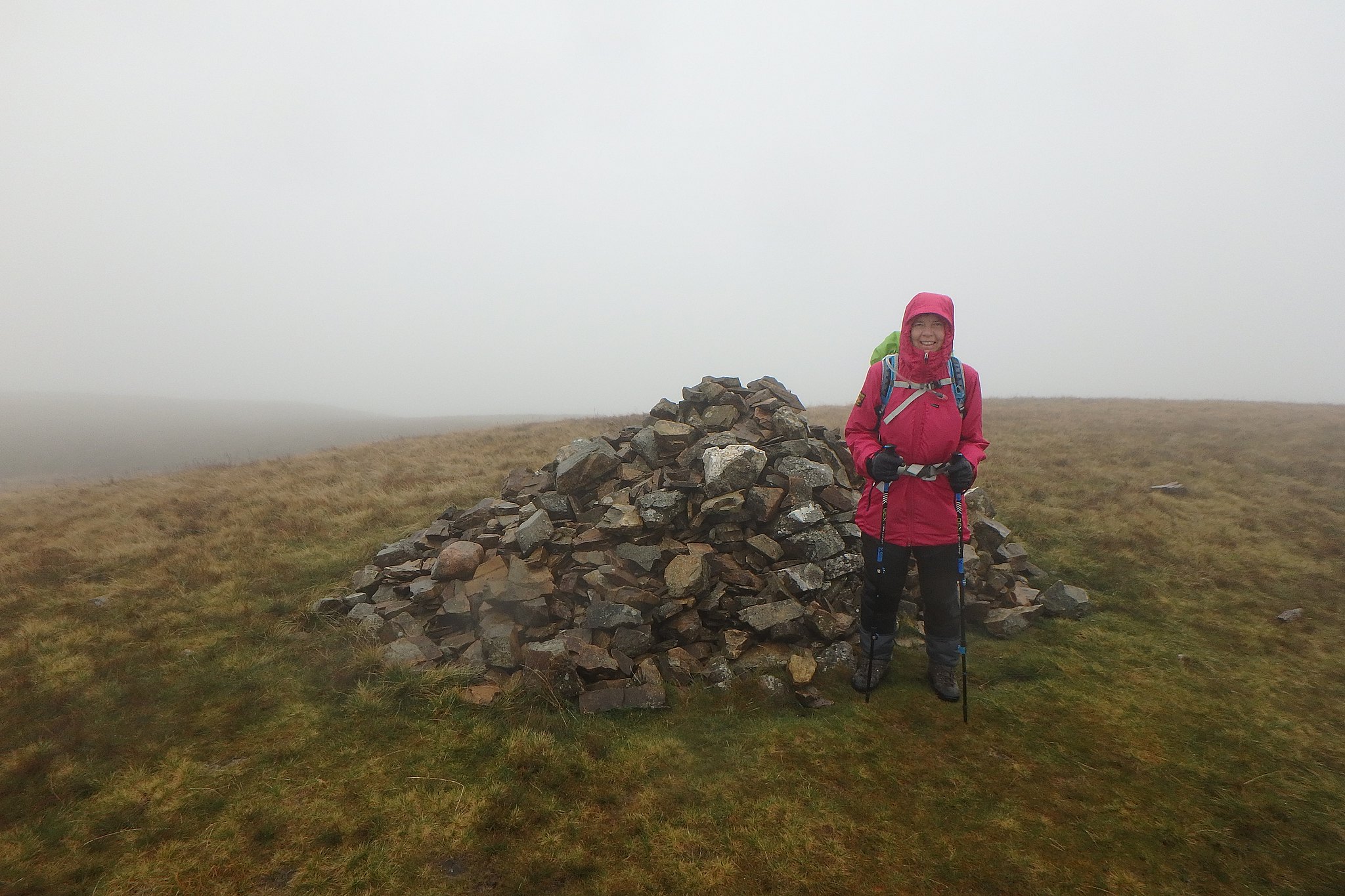
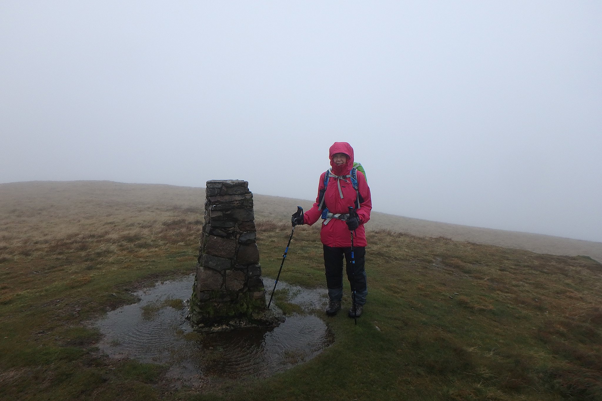
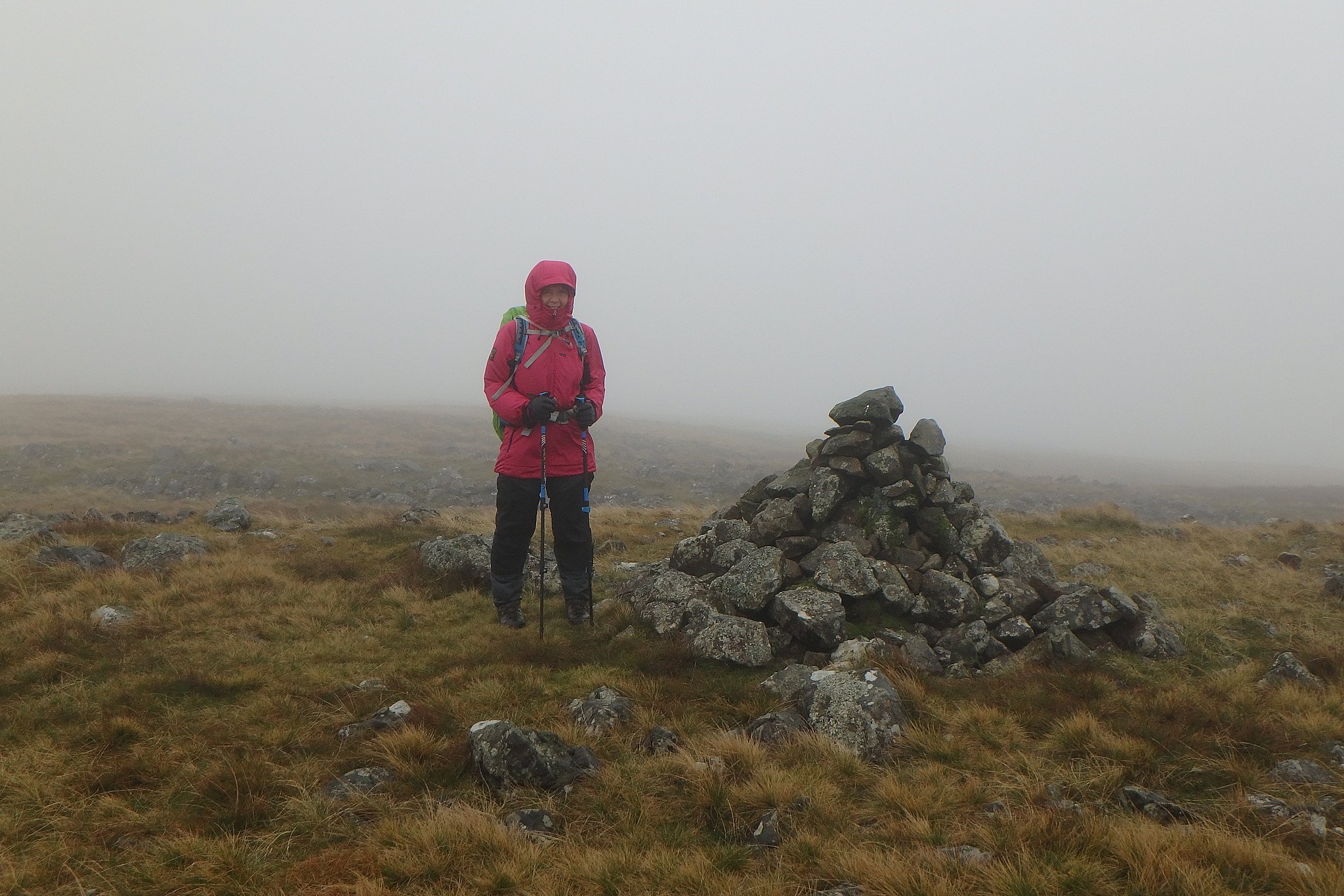
Very soon after this the summit of Grike is reached. It was raining now so we didn't stop long.
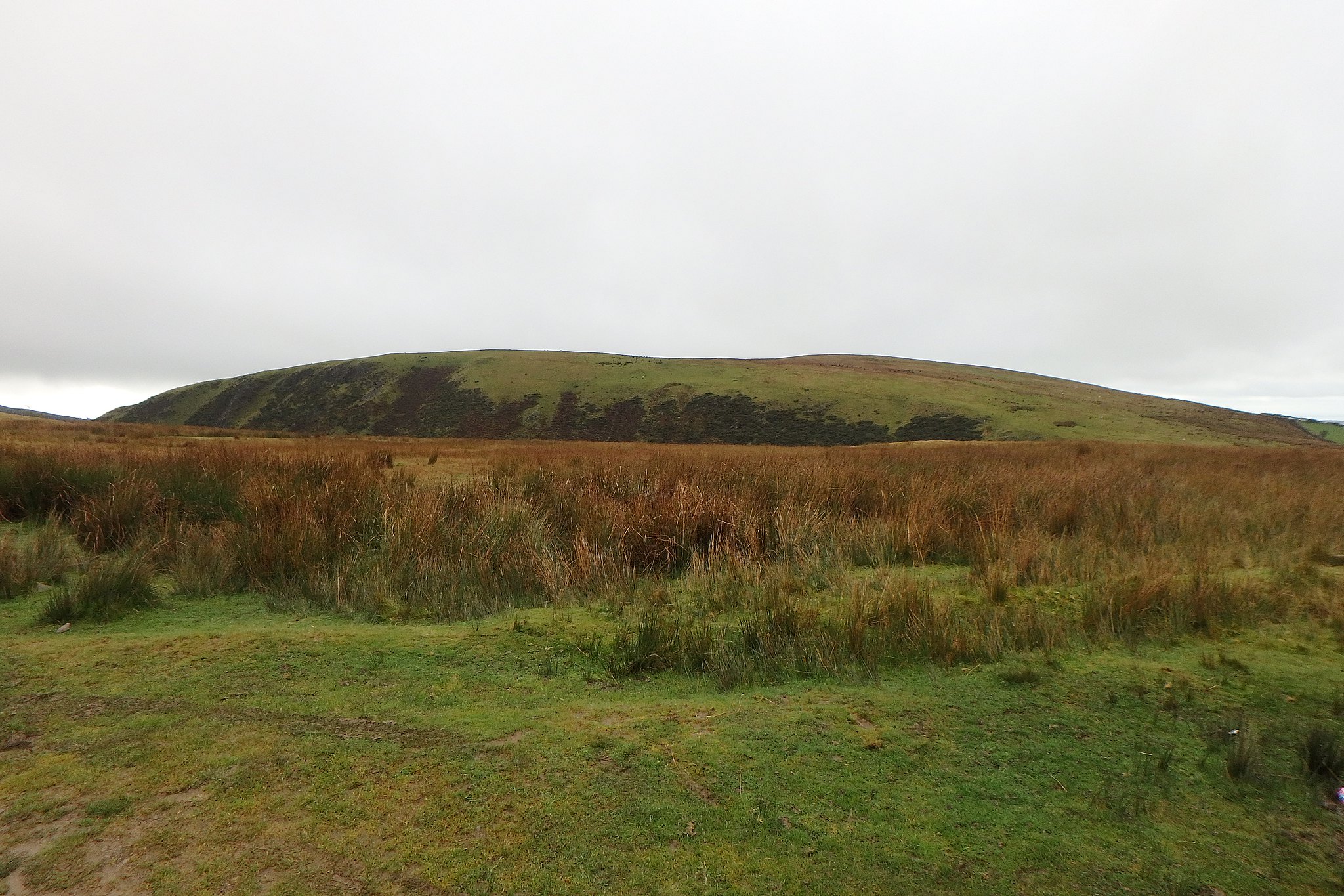
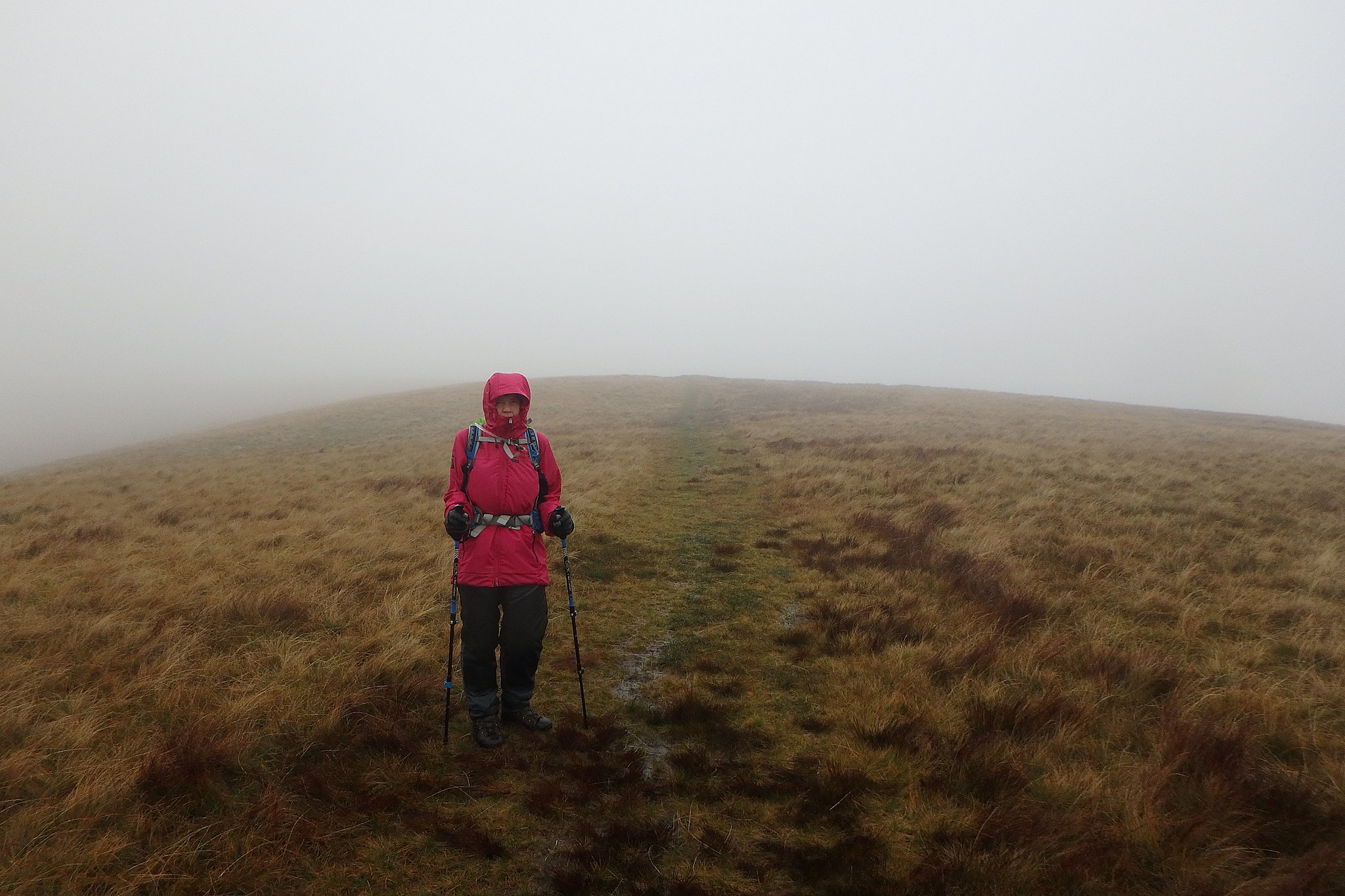
Views.
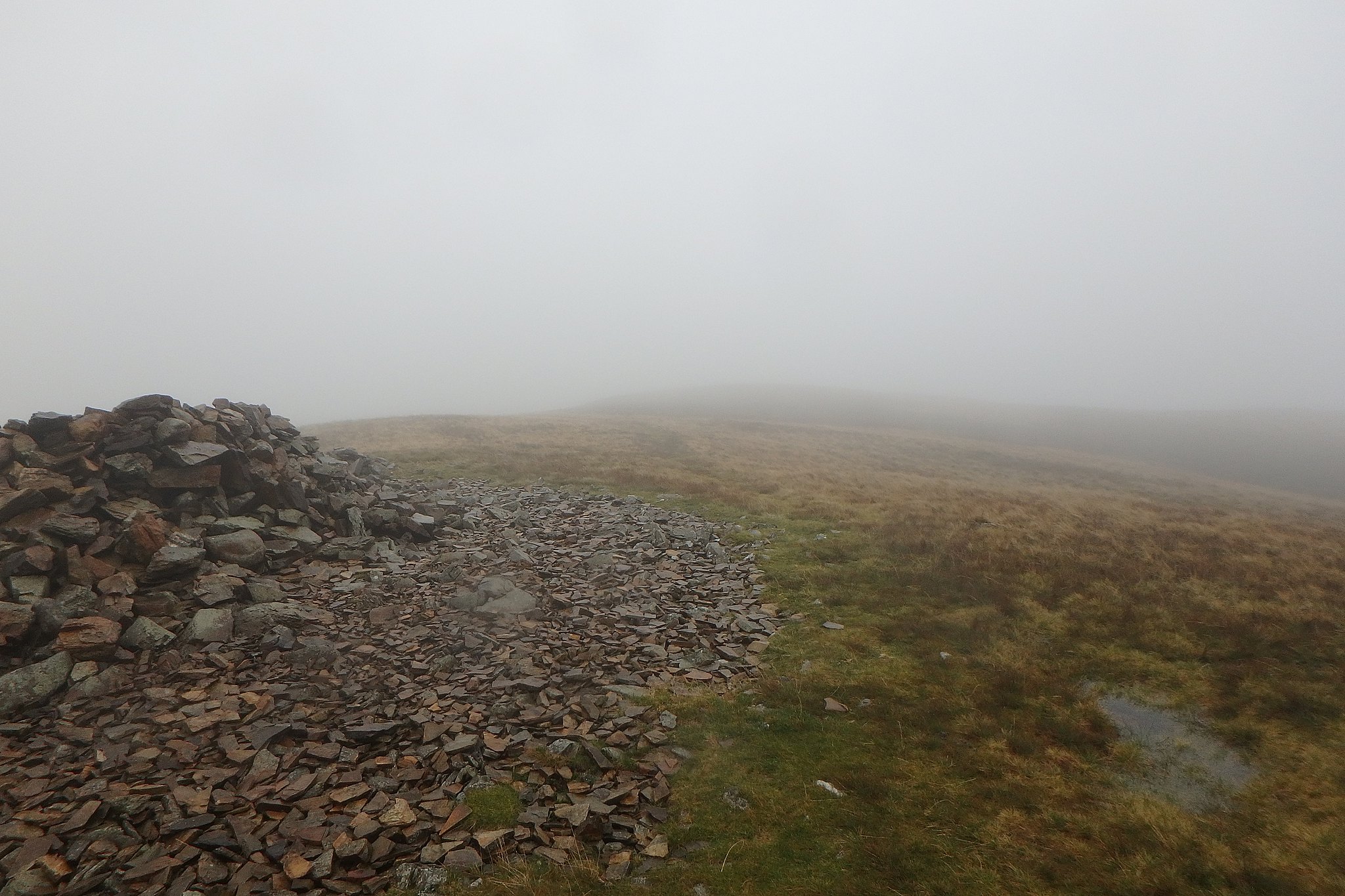
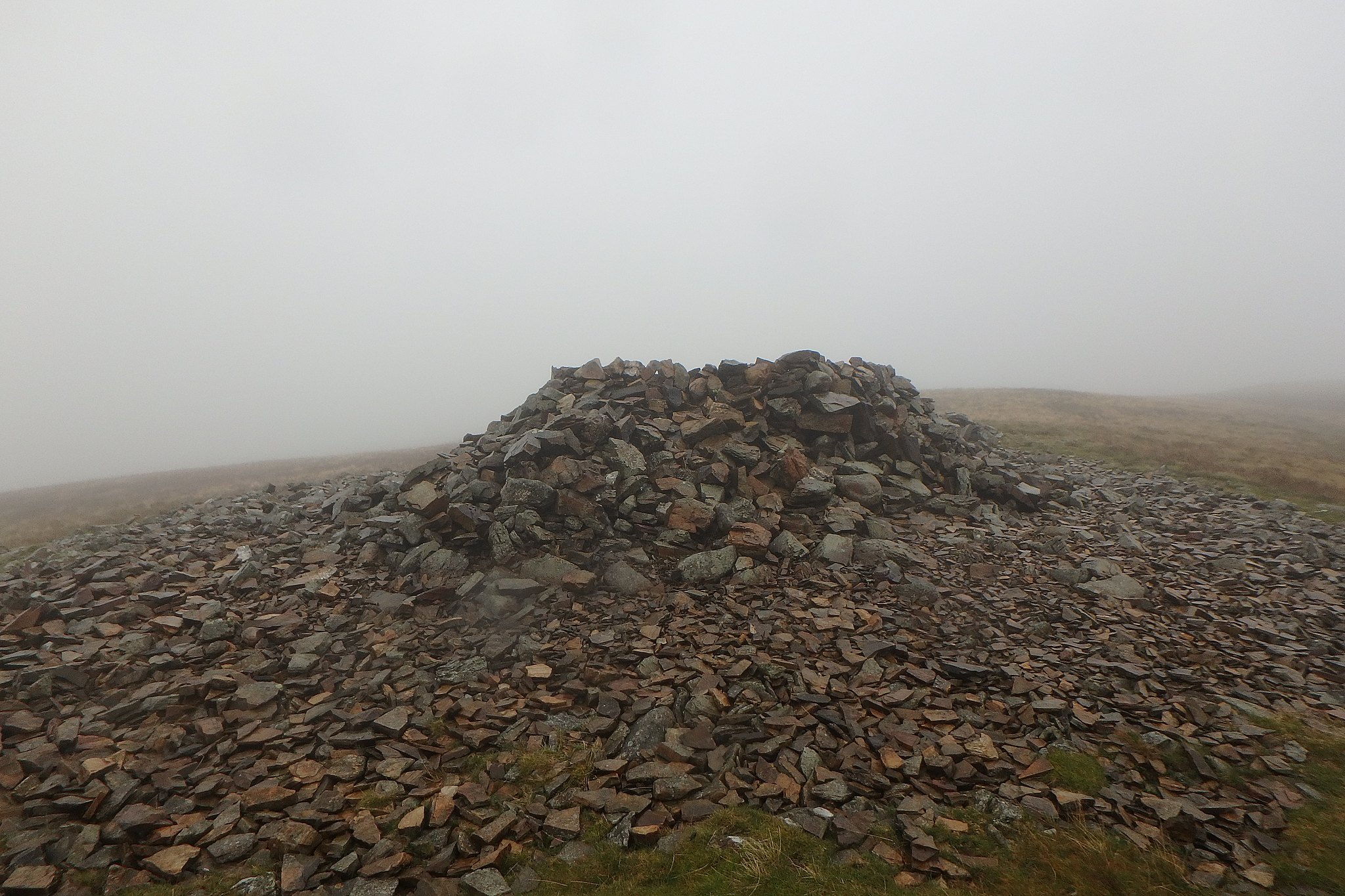
Big cairn for a little hill.
The path is good and continues east towards a communications mast? in the dip between Grike and Crag Fell, in the mist it just appears but at least you know you're on the right path. Not much further on there's another stile and not long over this the path leaves the fence and heads NE towards Crag Fell. This section is pretty soggy in parts, largely due to the wet summer we've had so we brushed up on our bog hopping skills and carried on.
From the car to Crag Fell only took 1.5 hrs so the clag kept us going, not much in the way of views to slow us down I guess.
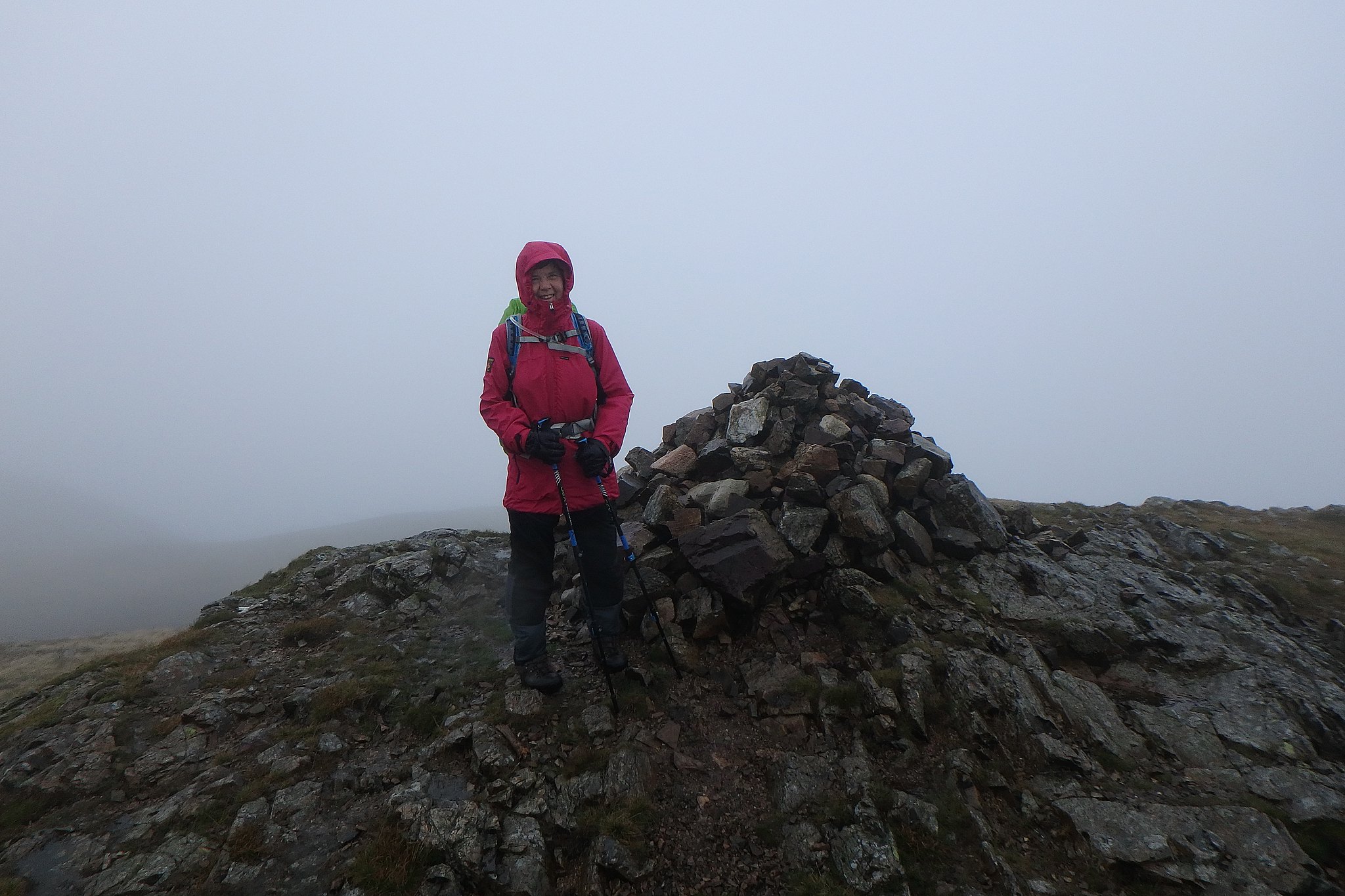
Crag Fell.
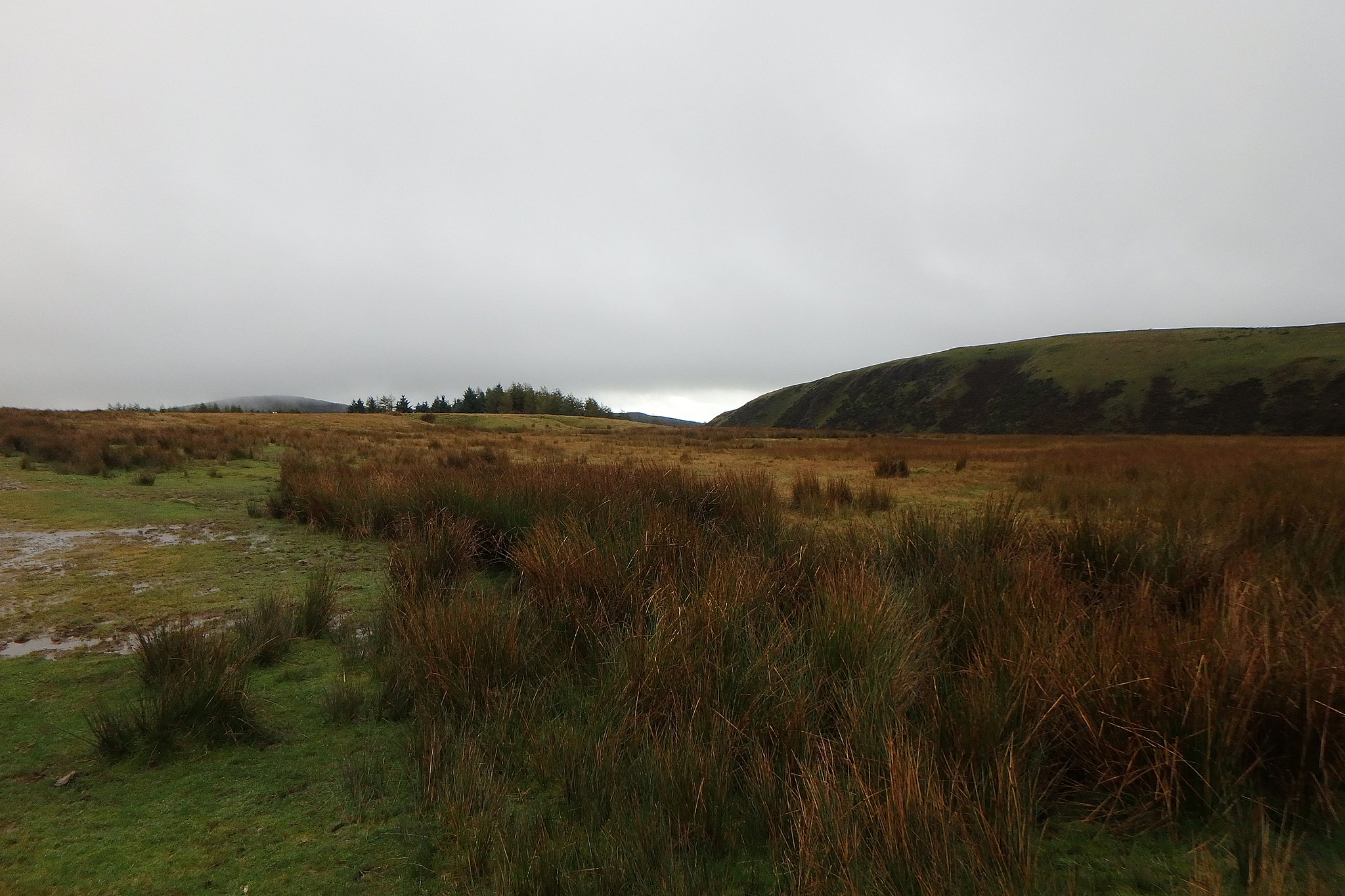
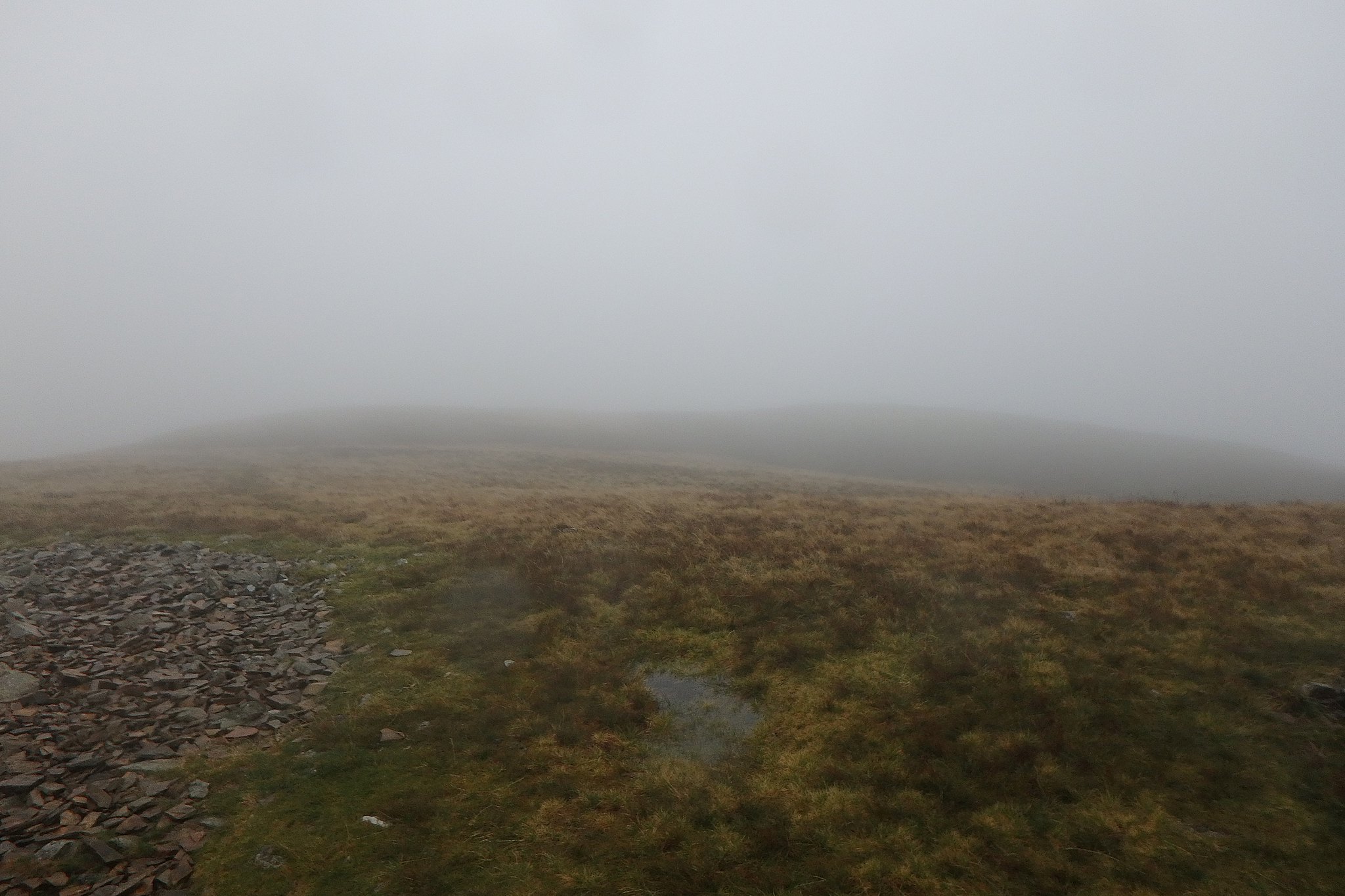
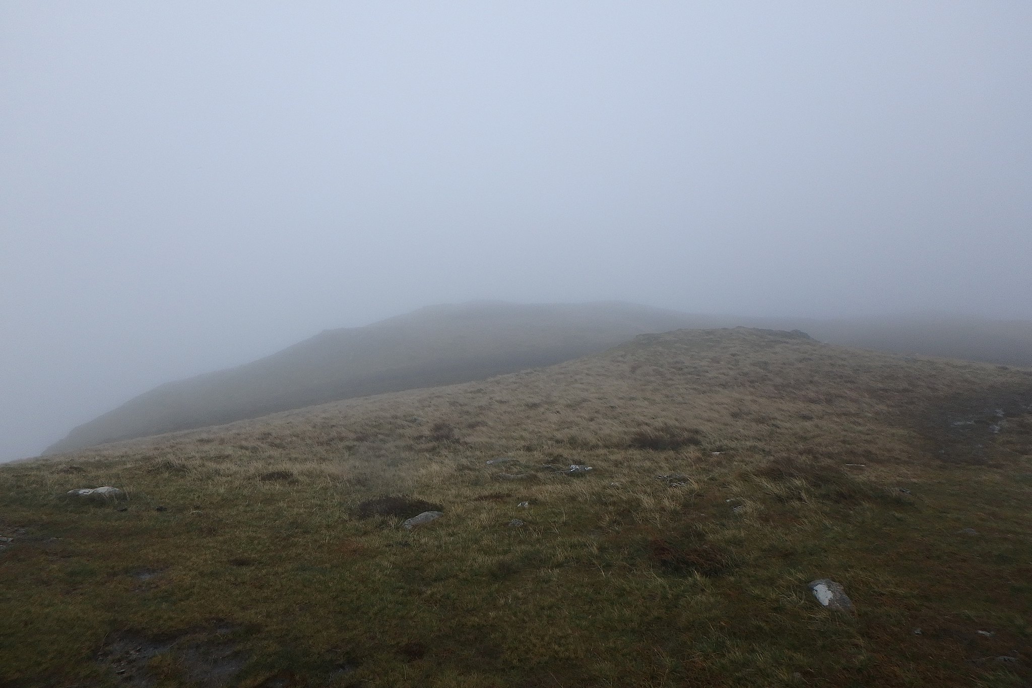
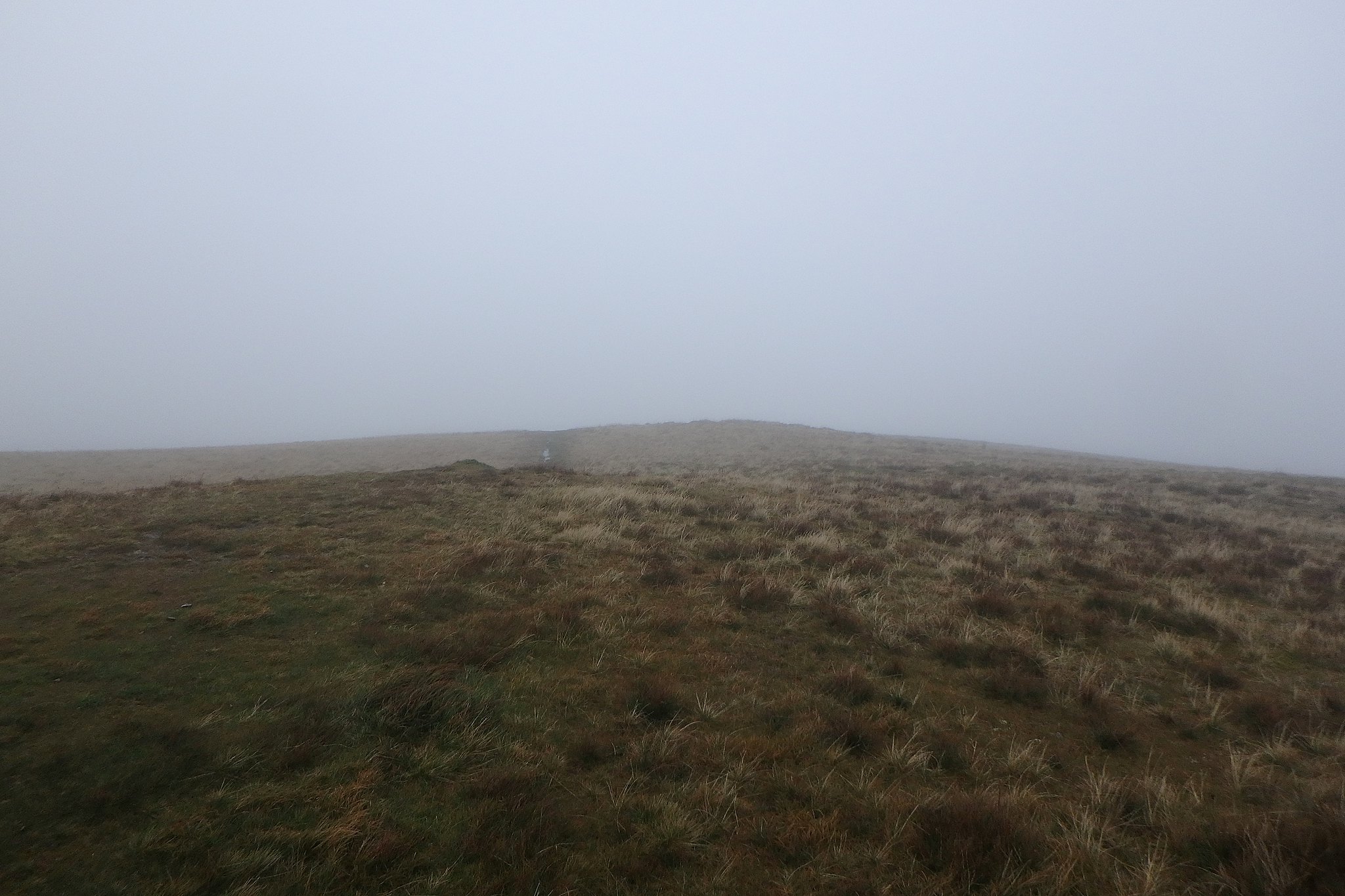
Views, similar to the last top.
From the top of Crag Fell the path heads SSE ish back down to the felled plantation, here it joins a forest track then leaves it again on the right very shortly after and heads up to a wall, here it's very wet and care is needed to prevent ending up knee deep in the quagmire.
It was still raining so we chose not to extend the walk and set off to to do Whoap and Lank Rigg as planned.
Following the wall for about 300m we left it and headed SW towards Whoap. There is a trace of a path, but not much, a wee bit further on the path met another path that was better defined and we veered right along it.
This was soggy in places but well used, I noticed a smaller path branching off this a bit further on but kept going on the better one. I don't know what it was but I kept having doubts about ignoring that little path, five minutes later I stopped and said to Denise I was convinced we were off route, so it was out with the map and GPS and soon realised that little path back there was the one to take, we were on the north side of Whoap heading for the plantation again, we retraced our steps, found the little path and went along that, just shows how much you can wander off your intended route in the mist over pretty featureless terrain.
Now on the right path all was now doing what it should and we were soon down in the saddle between Whoap and Lank Rigg.
On the right path now, phew!
From here it's quite a steep pull up to the trig on Lank Rigg, I found it a bit of a struggle not having been out for three weeks, I was glad to see the trig looming out of the mist.
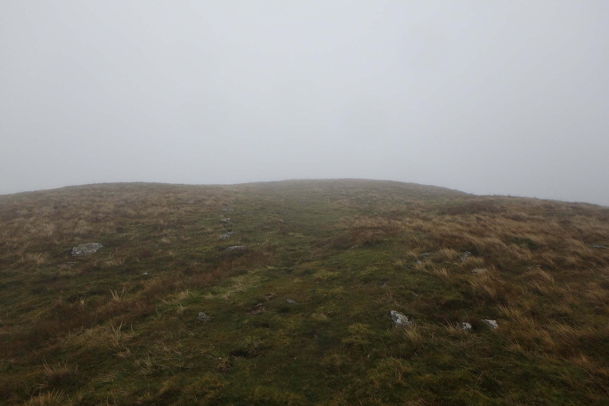
Views.
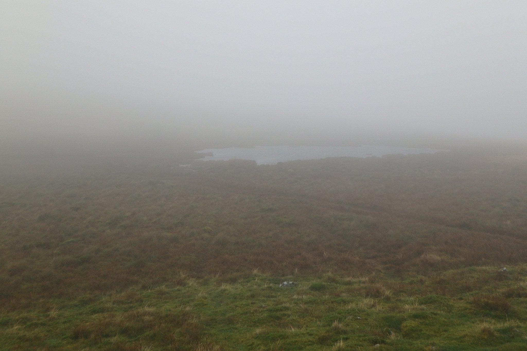
After a quick snack by the trig we went to the cairn a bit further on just to make sure we'd visited both tops, the little tarn between them looked eery in the mist, I was expecting Gollum to appear compaining about losing something, but no, it was just very windy and wet.
Cairn.
Tarn.
From the cairn it was back to the trig then down to the col to follow the path down Whoap Beck. This was very wet in places especially where it starts to level off, more bog hopping, we're becoming experts at that.
After what seemed a long trek we reached the road just above Whorl Gill turned right along it and made the short walk back to the car.
All in all it turned out to be a good day, very wet but we did what we wanted, the rain had stopped for about half an hour at the end of the walk so we had just about dried out, five miutes from the car guess what happened, yup, it started chucking it down so we had to move pretty quickly to get the things in the car without getting too wet again, we'll do these again in better weather, I bet the views towards the bigger hills are worth it.
