free to be able to rate and comment on reports (as well as access 1:25000 mapping).
I had a very busy week so had little time to plan the weekend's escapades...where to go - where's the weather acceptable; where can I find a suitable, open campsite at this time of year etc etc. Well I had a request to do a work visit in Aberdeen, so that narrowed the field nicely - we'd go up to Aberdeenshire and do some Marilyns - co-inciding with the best weather in the country

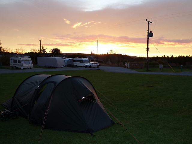
Managed to find a campsite - Hillhead in Kintore which was nicely situated for a cluster of smaller hills that we could pick our way through, and which didn't worry about late arrivals - getting out of Glasgow in the late afternoon is always a tiresome process. Anyhow, we made it up to Kintore before 9pm, found a place to pitch (there were no other tents

) and huddled down for a cold clear night.
 DSC00001
 by
Al, on Flickr
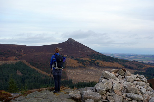
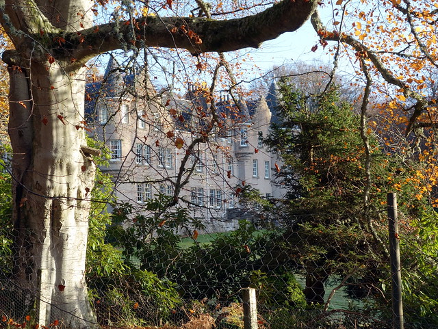
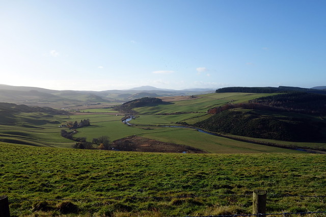
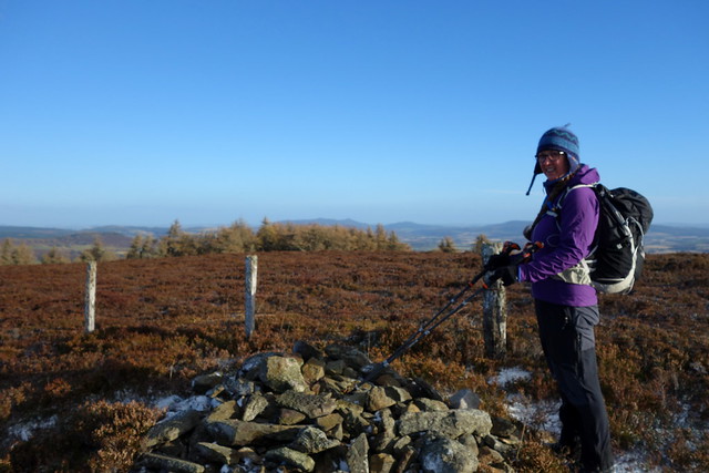
My plan had been to do Bennachie and adjacent hills the first day, then 4 more dispersed hills around Alford on Saturday, finishing off on Brimmond Hill in Aberdeen itself on Sunday, leavign me time to do my second opinion work. And so it was. We set off to Bennachie, with the shapely cone of Mither Tap visible for miles around (indeed, visible from every hill we climbed over the weekend as a kind of neolithic reference point). Decided to go up from the south - Donview, as we wanted to climb Cairn William later on. I'd been up Bennachie many years ago with my toddler son strapped to my back in one of those carrytot things - no idea if I did Oxen Craig (the true summit) or just Mither Tap.
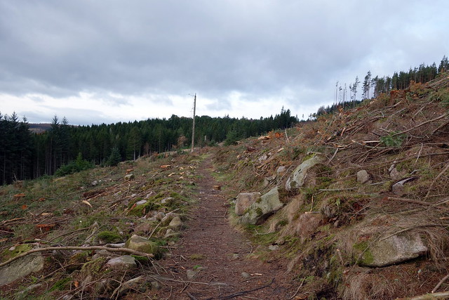
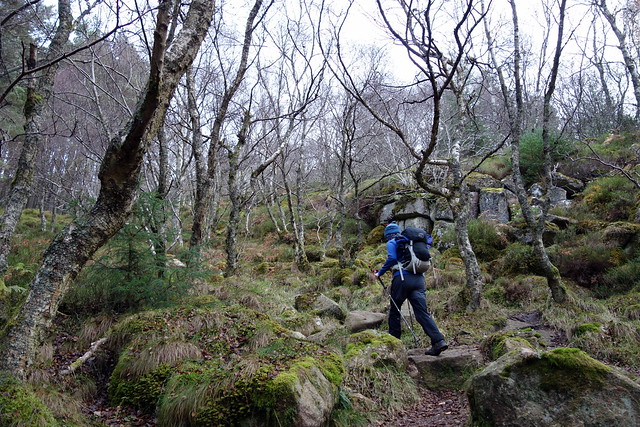
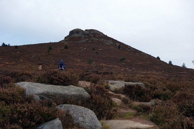
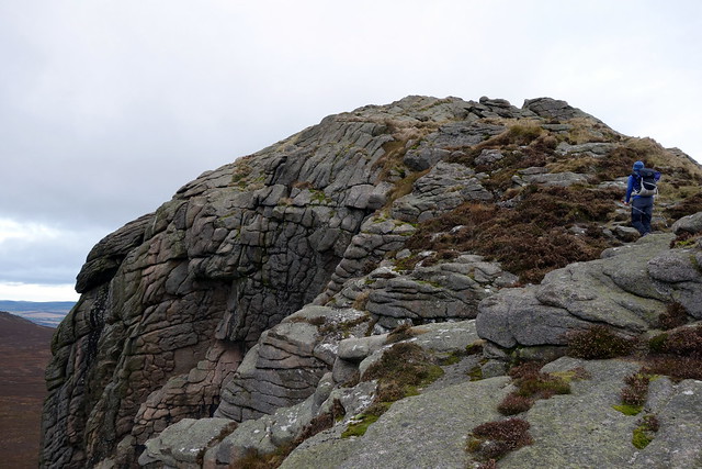
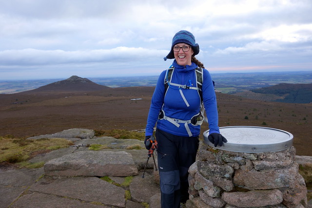
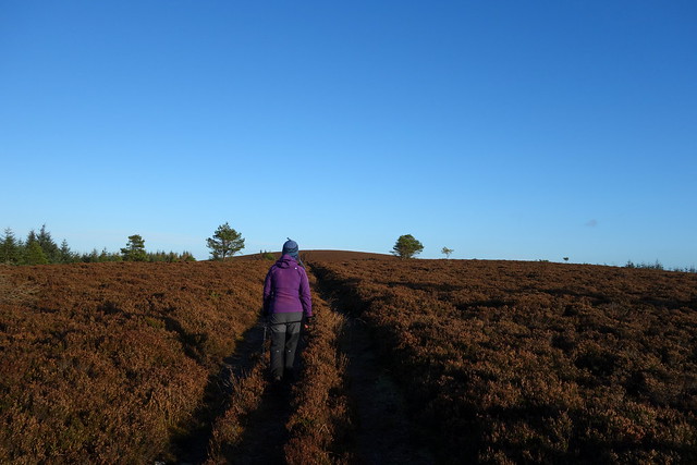
We discovered a lot of forestry work had been going on over the southern slopes of Millstone Hill, with a diversion of the path in place. Followed this for a bit, then decided it was heading too far east and cut back onto the felled forestry path - no machinery in evidence, just log stacks, so no real reason to heed the diversion. Onto the good path up Millstone, the cold morning air bracing, the sunshine very welcome. Arrived at the summit of Millstone which has fine views over to Bennachie and a vou start up the path to Bennachie very minor drop (only 153m) before you start up to Bennachie again. Mither Tap is impressively stony - granite and felspar blocks tumbling amidst the remnants of a hill-fort dating from around 400 CE. We met a group of folk, including small children who had come up from the eastern approach, walked around the hill-fort rubble then set off towards Oxen Craig. Easy walking over tracks in the short heather, dog-walkers and runners around. Stopped for lunch under the cairn on Oxen Craig, enjoying the views before following the Gordon Way back to Donview carpark.
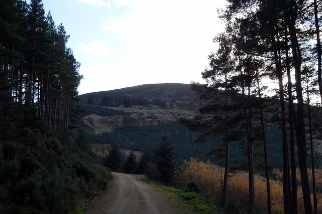
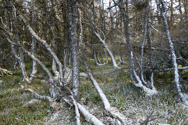
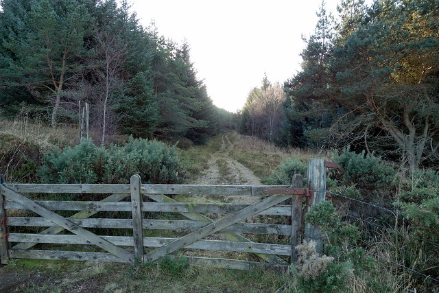
What used to be a forest track...
 DSC00002
 by
Al, on Flickr
 DSC00003
 by
Al, on Flickr
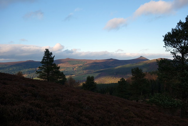
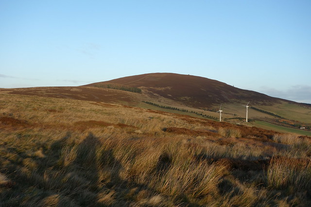
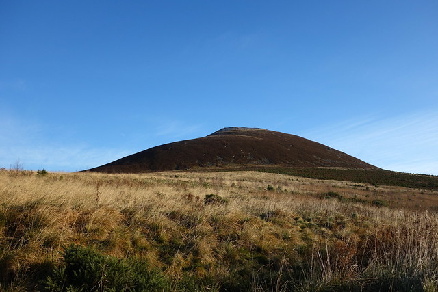
Mither Tap from Millstone
 DSC00006
 by
Al, on Flickr
 DSC00009
 by
Al, on Flickr
 DSC00010
 by
Al, on Flickr
Oxen Craig
 DSC00011
 by
Al, on Flickr
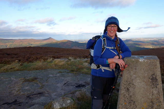
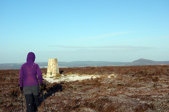
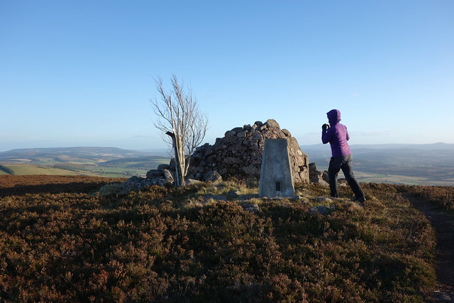
Summit Oxen Craig
 DSC00013
 by
Al, on Flickr
 DSC00015
 by
Al, on Flickr
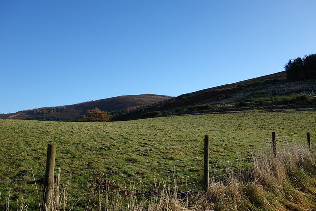
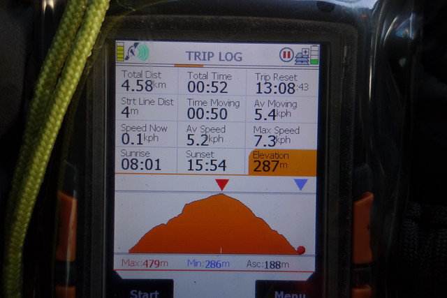
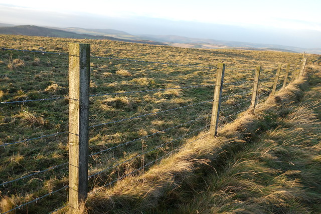
Drove the short distance to Pitfichie, crossing the Don and parked at the entrance to an old quarry - several cars with bike racks in evidence. Not much to say about this one - a short walk through forest track then a turn off to the left up the hillside on an MBT track. Then things get ridiculous - there's a sinuous track which winds up Cairn William, but with such outrageously wide loops that you could walk about 3km to gain 500m...even Allison - who hates heather tussocks with a passion - eventually got so fed up with it that she left the path and completed the route to the summit over the heather. Good views back to Bennachie. We took a more direct route back down

Had hoped to squeeze in another hill somewhere nearby but it was 15.10 by this time with sunset half an hour away, so decided we'd just drive back to the campsite and have a shower and an early tea.
Cairn William
 DSC00016
 by
Al, on Flickr
Bennachie
 DSC00017
 by
Al, on Flickr
 DSC00019
 by
Al, on Flickr
 DSC00020
 by
Al, on Flickr
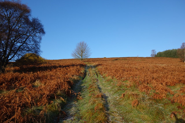
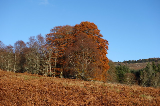
Rain overnight but another beautiful sunshiny morning greeted us. Up and away before 9 - out to Lord Arthur's Hill. I'd noticed a track passing up from Littlewood Park up by some gross butts and thought this should be OK - we parked in a layby just east of the lodge, though we could have squeezed in at the gatehouse - the road to the lodge currently closed for roadworks. Passed by some outbuildings then picked up a track through some long grass which led where we wanted to go. Lovely rusty rustic colours - the dead bracken and russet leaves still clinging to the trees. The track leads right to the summit - grand views of Pressendye and north to Tap o Noth. returned by the outward route.
Littlewood Park
 DSC00022
 by
Al, on Flickr
 DSC00023
 by
Al, on Flickr
 DSC00024
 by
Al, on Flickr
Lord Arthur's Hill
 DSC00025
 by
Al, on Flickr
Tap O Noth in background
 DSC00026
 by
Al, on Flickr
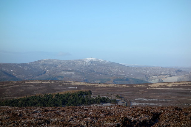
Pressendye
 DSC00029
 by
Al, on Flickr
 DSC00030
 by
Al, on Flickr
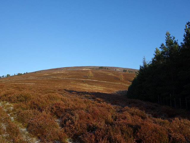
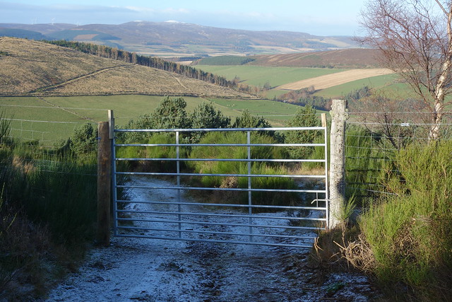
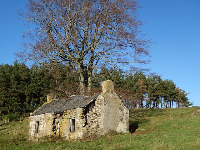
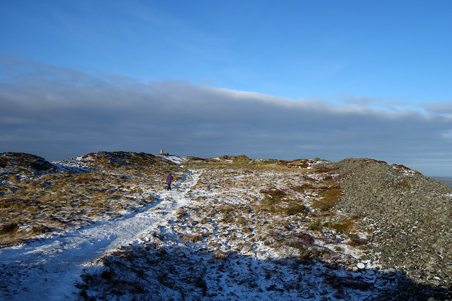
Next up was Coiliochbhar Hill near Kildrummy - again this was a straight up and down (as were all the hills today). We parked beside some houses at Newton (there is a suitable place to park a little further on) and went through a gate onto a stony track. Passed a ruined cottage then we meet a locked gate with barbed wire strung across the top - a bit unneccessary! As a result we went round the edge of the deer fence rather than risk clothing being shredded. Continued on an ATV track to the top of the hill, where we met some runners. Was mighty cold in the wind. Sheltered in a group of wind writhed pines for a bite of lunch then set off back to the car.
 DSC00031
 by
Al, on Flickr
 DSC00032
 by
Al, on Flickr
Coiliochbhar Hill
 DSC00033
 by
Al, on Flickr
Rather vicious gate
 DSC00034
 by
Al, on Flickr
 DSC00035
 by
Al, on Flickr
 DSC00037
 by
Al, on Flickr
 DSC00038
 by
Al, on Flickr
 DSC00039
 by
Al, on Flickr
 DSC00040
 by
Al, on Flickr
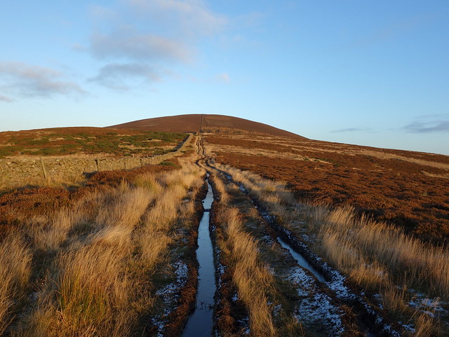
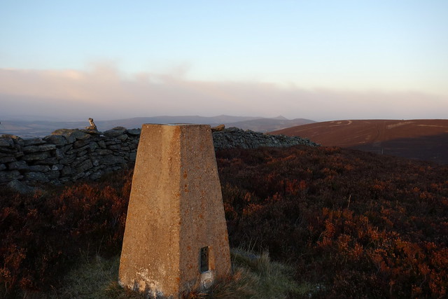
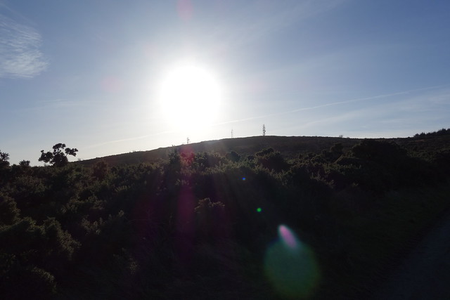
Our next target was Craiglich Hill, accessed from the B9119 near Slack. This involved driving along various country roads in dazzling sunshine. There's a big layby at the start of the route to park in. A very short walk, less than 5k return. Muddy track to start, then frosty heather track to the summit - which has a trig point, a tree and some fire-beating kit. Once again Mither Tap was off in the distance.
 DSC00041
 by
Al, on Flickr
 DSC00043
 by
Al, on Flickr
 DSC00044
 by
Al, on Flickr
 DSC00047
 by
Al, on Flickr
Pressing on to get a fourth hill in before darkness fell, we drove a short distance along the 9119 to Benaquhallie. Parking is a bit of an issue for this one - any bits off the main road are at farm gates. I happened to meet a lovely lady from Tullochvenus House who described 2 route options and allowed us to park on her driveway
From here we set off through the fields of Tullochvenus Farm, finding the most robust barbed wire I've ever encountered - six strands of sharp barbs

At leat it wasn't electrified
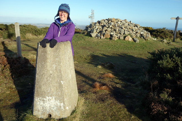
There was - helpfully - bits of scrap aluminium sheeting lying about which could be fashioned into useful guards to get over the barbs. After that it was a case of following a muddy farm track right up the hill, through a small copse to the trig pointed summit. To the south is a giant cairn which we had to visit before returning to the car as the light faded.
Benaquhallie
 DSC00048
 by
Al, on Flickr
Hard core barbed wire here!
 DSC00049
 by
Al, on Flickr
 DSC00050
 by
Al, on Flickr
 DSC00051
 by
Al, on Flickr
 DSC00054
 by
Al, on Flickr
 DSC00056
 by
Al, on Flickr
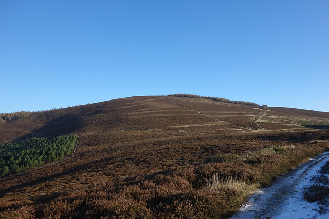
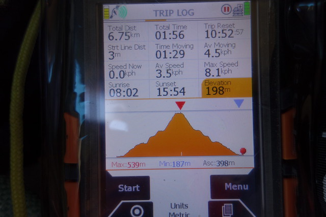
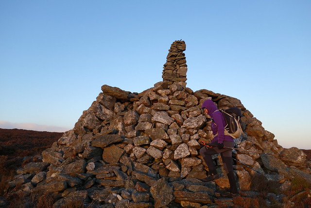
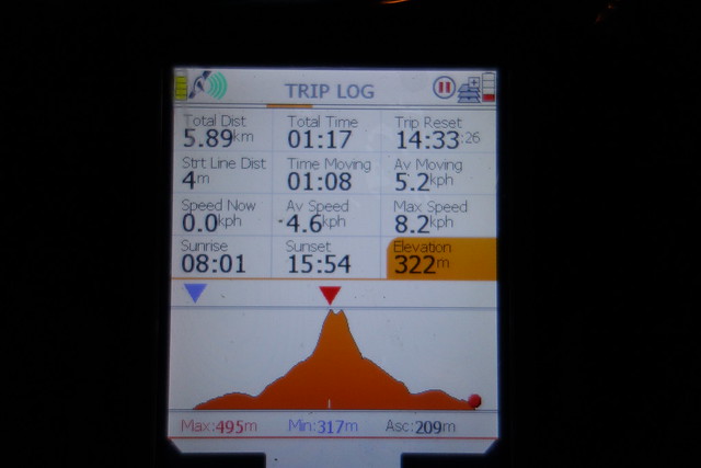
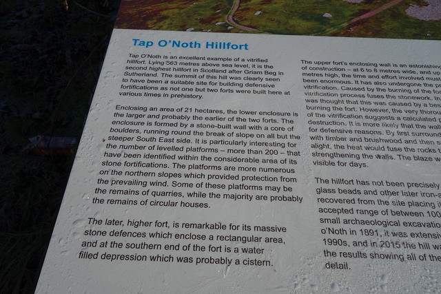
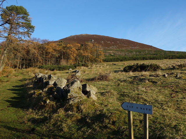
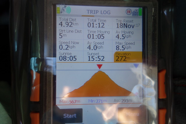
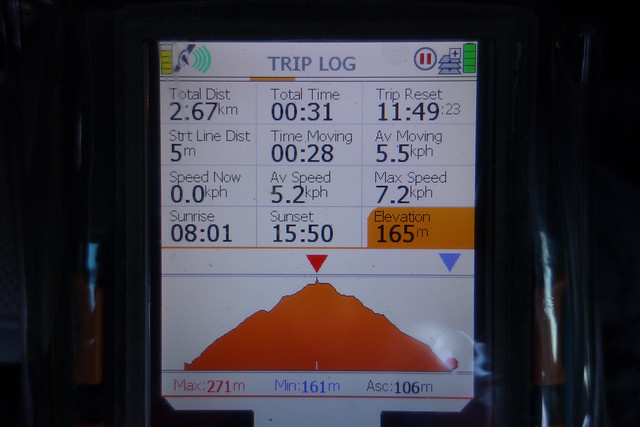
Another wet night, another fine morning - had decided to add in Tap o Noth today - this involved a drive of 25 miles to Rhynie in frosty conditions. Tap O Noth has the second highest hill-fort upon it - second only to Griam Beg which is a Marilyn very high on my to-do list. Anyway we were not the first up this hill - 2 other cars in the carpark before 10am. The track was icy where it wended up the hillside, the sky blue, feathered with white cloud. Frost at the top, views for miles all around. Back down the same way, a hold up on the road whilst the local cows returned from milking to their field with the whole family helping out directing them, then towards Aberdeen.
 DSC00058
 by
Al, on Flickr
 DSC00059
 by
Al, on Flickr
 DSC00060
 by
Al, on Flickr
 DSC00062
 by
Al, on Flickr
 DSC00065
 by
Al, on Flickr
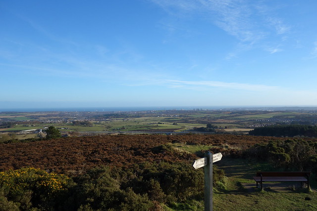
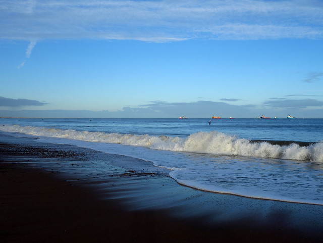
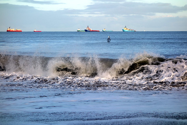
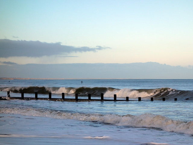
Brimmond Hill can be reached from the North, West or East - problem for us was the major roadworks on the A96 that have closed off the usual route to this hill - the lady on googlemaps was getting most irate that we weren't following her instructions. Passed the enormous skeleton of the new AICC on the way and managed to get to the start of the northern route eventually. From here there's a tarred road all the way to the transmitter masts at the summit - all of 106m ascent. it does afford excellent views across the city of Aberdeen however - a good introduction for Allison who'd never been to Aberdeen before. Back down, change into some "work" clothes and out to the hospital for my visit. When this was done, headed along to the esplanade for a walk along the beach then to the Bonobo Cafe (Aberdeen's only vegan restuarant) for an all-day brunch before a drive home
 DSC00066
 by
Al, on Flickr
 DSC00067
 by
Al, on Flickr
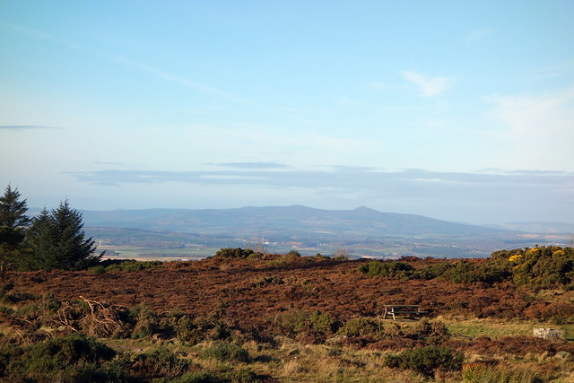
Mither Tap still visible
 DSC00069
 by
Al, on Flickr
 DSC00070
 by
Al, on Flickr
 DSC00071
 by
Al, on Flickr
 DSC00074
 by
Al, on Flickr
 DSC00076
 by
Al, on Flickr
 DSC00078
 by
Al, on Flickr
