free to be able to rate and comment on reports (as well as access 1:25000 mapping).
A happy combination of a free weekend and clients to see in Edinburgh on Monday meant I could zoom up to the Highlands for a couple of days' exploring. Edinburgh plans and forecasts both guided me east, and I've not been in Deeside before.
With high plans for good days and lower plans in case of strong winds, I packed, sorted, flung things in the car and set off for Braemar. The BBC's Saturday forecast said 75mph gusts

., MWIS said 35-40mph

. ,Mountain Forecast said 75mph gusts
. Saturday morning's racket outside the window said strong winds indeed. So I decided to walk through Braemar and head up Morrone. It was going to be a short day - which would happen first: I'd be back or Mugabe would resign? If I'd been the betting sort... I'd have won.
The village was just waking up, as I passed the fagging bus-driver and headed up Chapel Brae. A stag sauntered across and into the trees.
Morning sauntering stag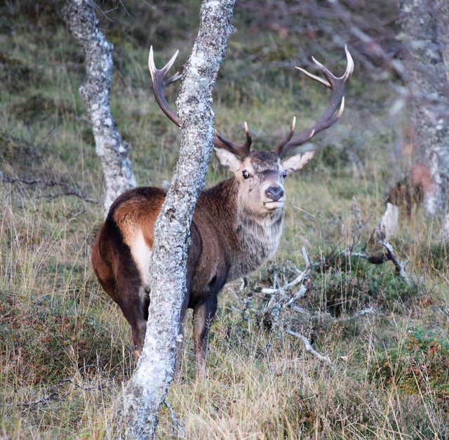
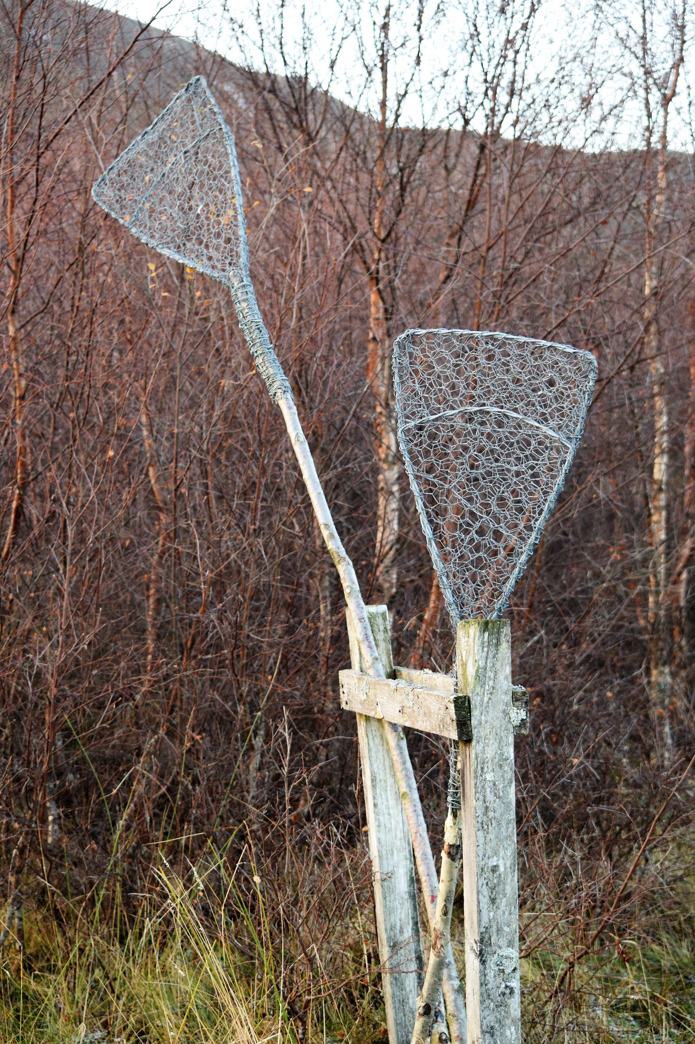
There was also a sad little sign about juniper disease, and a request to stick to paths. And then these (below). I'm assuming they're fire brooms, but I've never seen them used in anger. Enlighten me, anyone?
Fire brooms? Or "dream-thwackers", as a pal of mine suggests? 
Before long, and after a pleasant walk up through the birch with breakfasting does for company, I came to the viewpoint. I obviously hadn't paid much attention to the map because I was surprised to see the Devil's Point right there.

I know now. And a taste of treats to come, with the Cairngorm giants suddenly in view.
Devils Point on left with Carn Toul behind, right to Braeriach and Ben Macdui on the right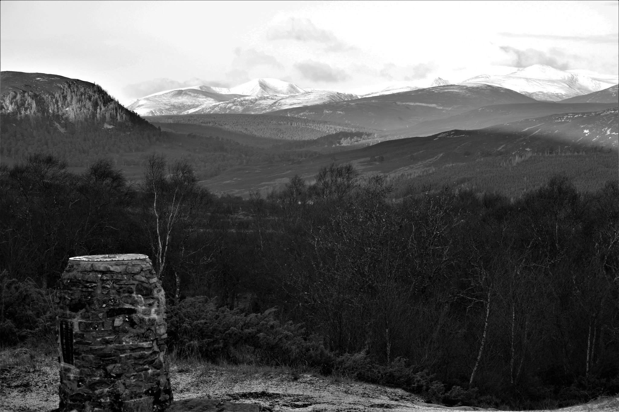 Devil's Point dwarfed by Carn Toul, from a bit higher up
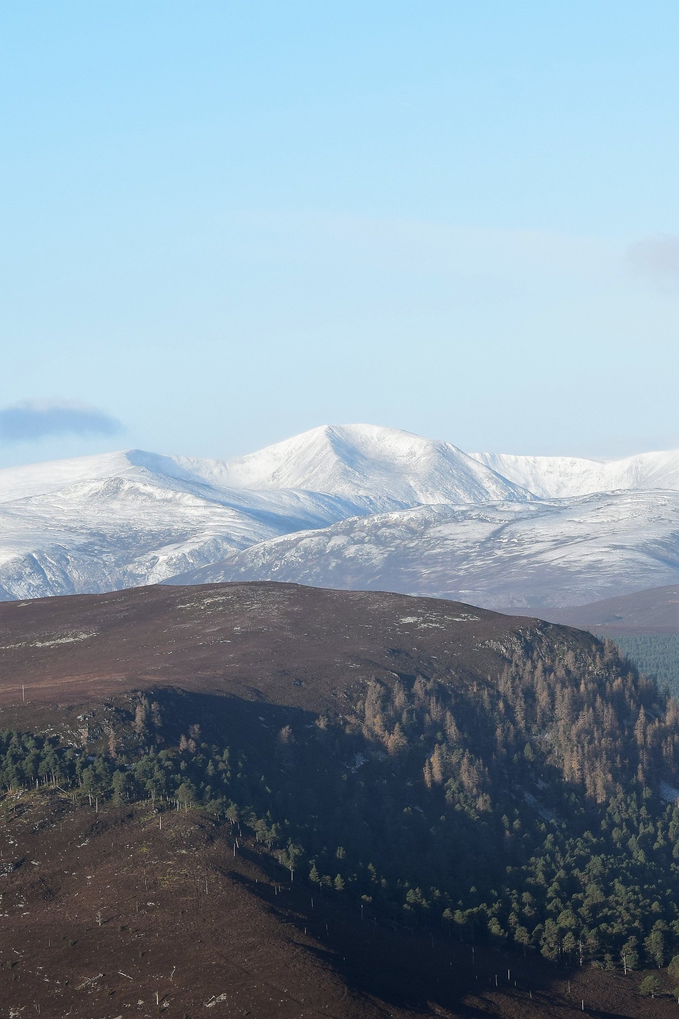
The path up the hill was obvious, heading up the bank rather than continuing round the track, but buried under snow, it would be trickier. 'Tis as the WH route describes. Very soon I was up on moorland, grouse starting out of the heather all around me.
Grouse on the flank of Morrone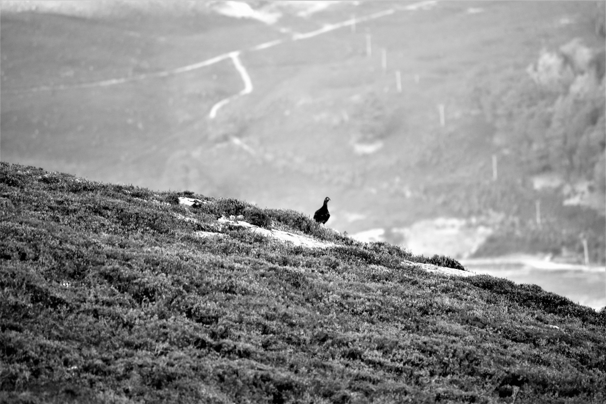
A look down on to sunny Braemar, a contouring round just to see what the little ridge was like (and by now, no threat to juniper, so I could go off-piste), and then just the last trudge to the summit and its mast.
Braemar - castle (barely visible) left of centre, Carn na Drochaide behind, Creag Choinnich to the right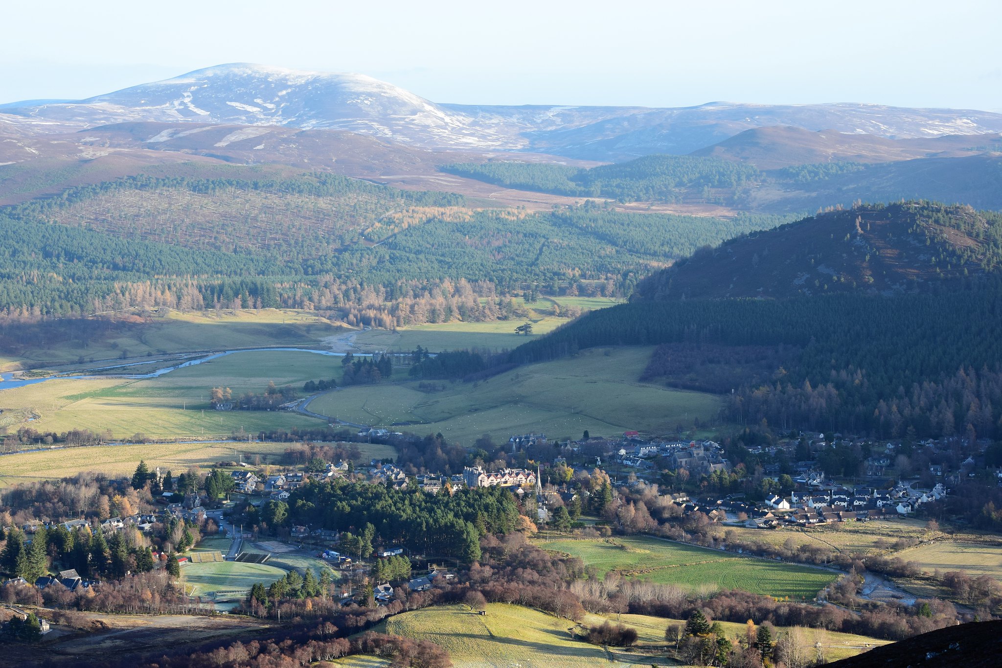 It's a magic mast that doesn't get any closer, no matter how much you walk towards it.
And then, much as the summit itself is an eyesore, together with the racket coming form the mast itself in the high winds predicted by two out of three, the views were far-reaching and sublime. The winds were making it hard to photograph, but hey - it's such an easy hill and so accessible you're bound to trot/have trotted up yourselves anyway! Just in case, though, here's what I could capture (with apologies that it's not a panorama - too windy for that).
Brian M Goring Radio Relay Hut and mast with Ben Macdui behind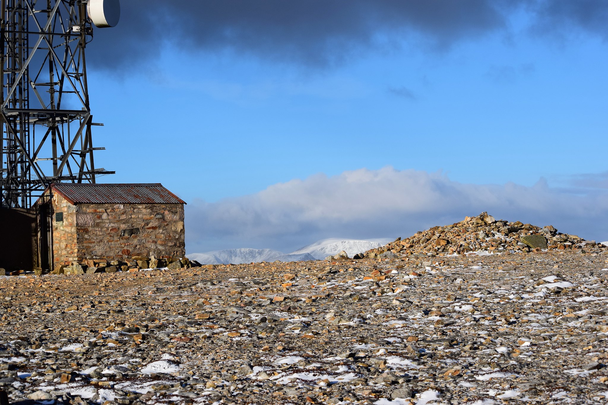 Hut and mast with Carn Toul behind
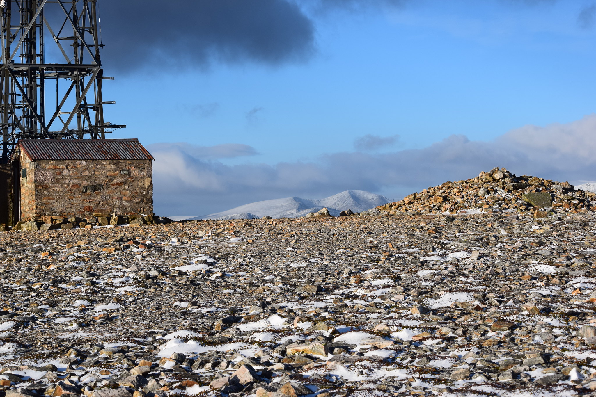 Pointy peak left of centre is Derry Cairngorm. Ben Macdui's behind. Cairn Gorm's on the right
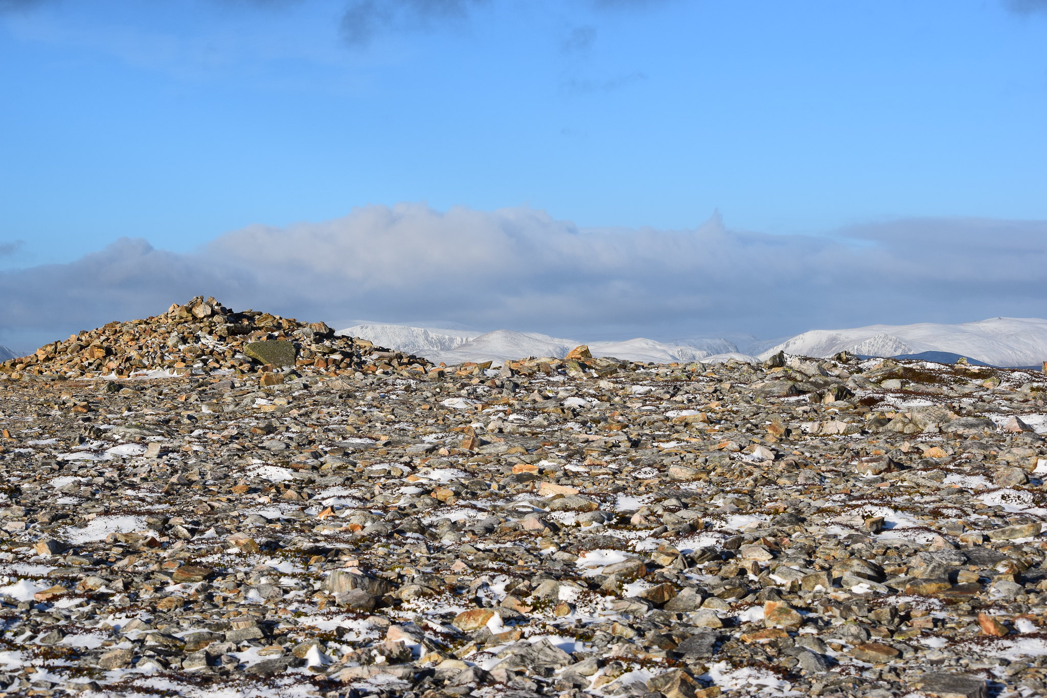 Cairn Gorm on left, pointy Beinn a Chaorainn, and slope of Beinna Bhuird on right
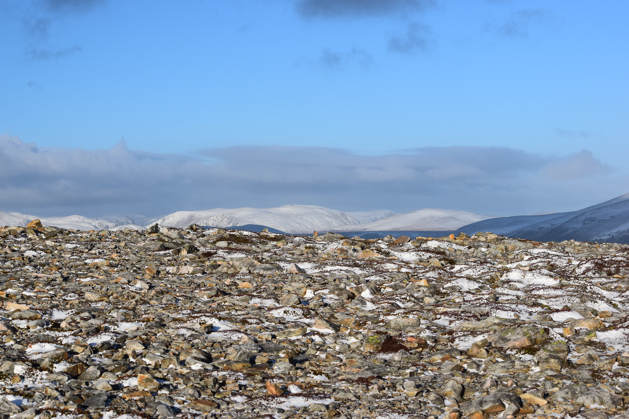 Beinn a Bhuird
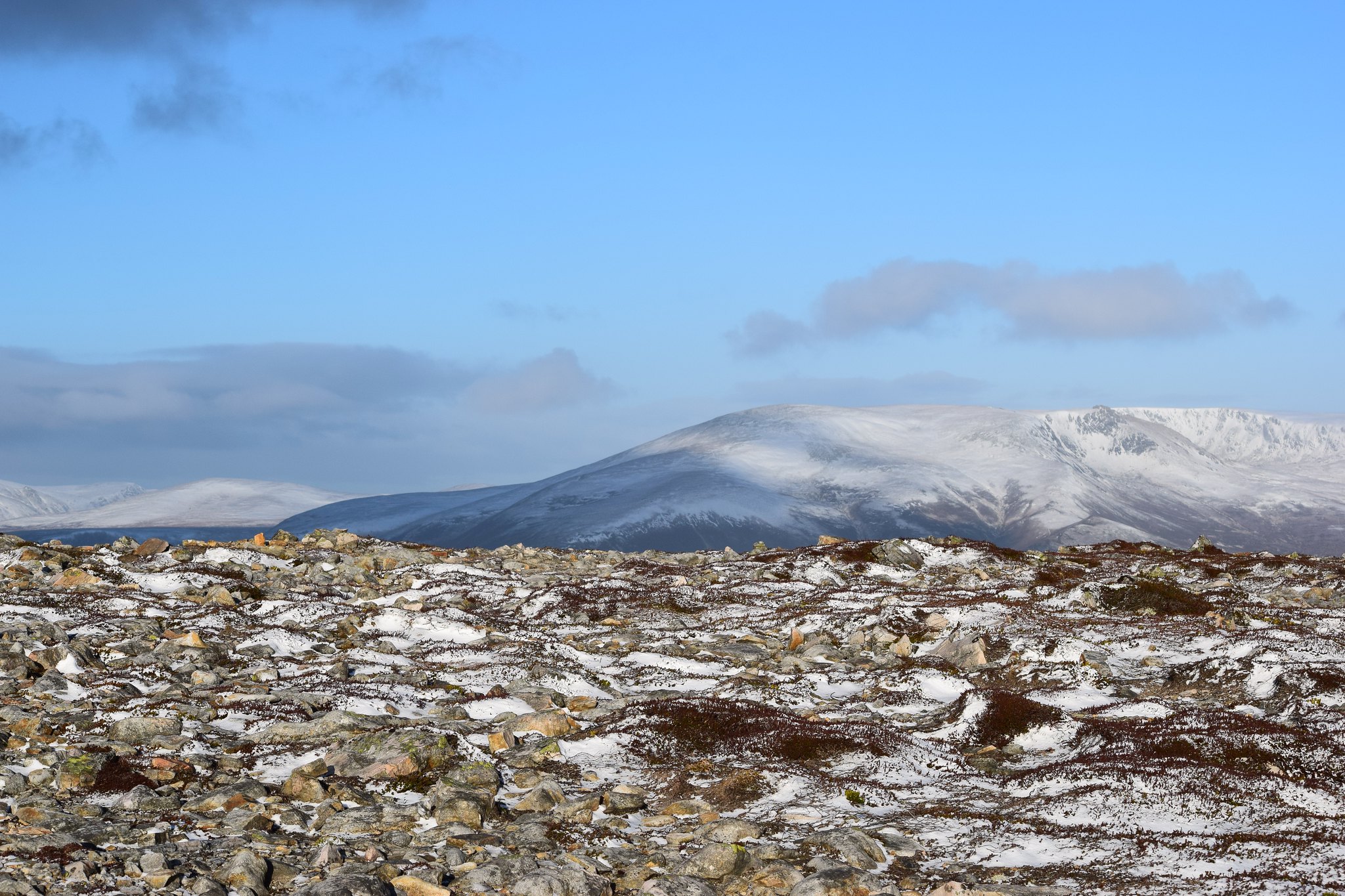 026 Beinn a Bhuird north on left Carn Eas on right
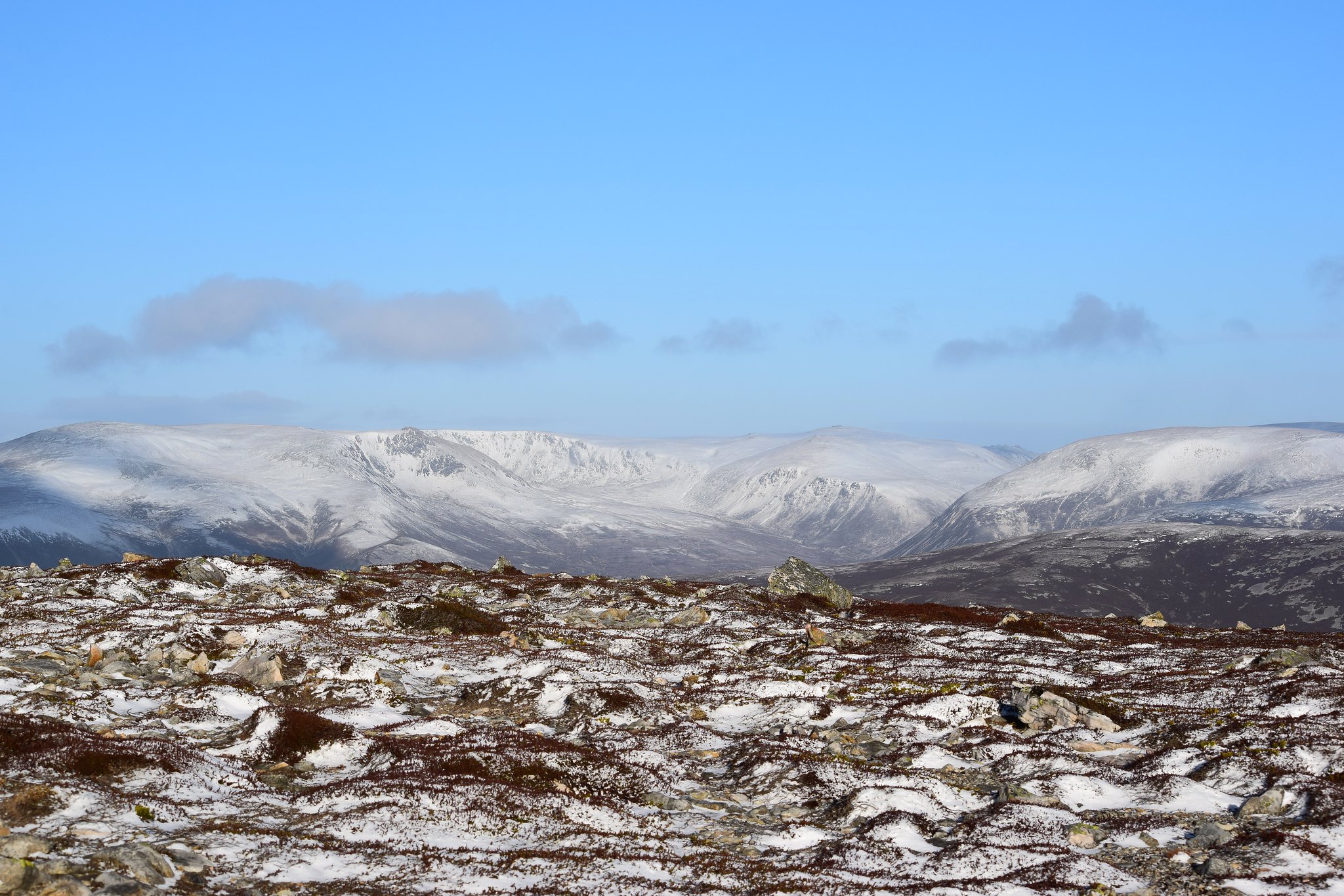 028 Ben Avon's cairns
 NE to "oh Morven of snow" in the background
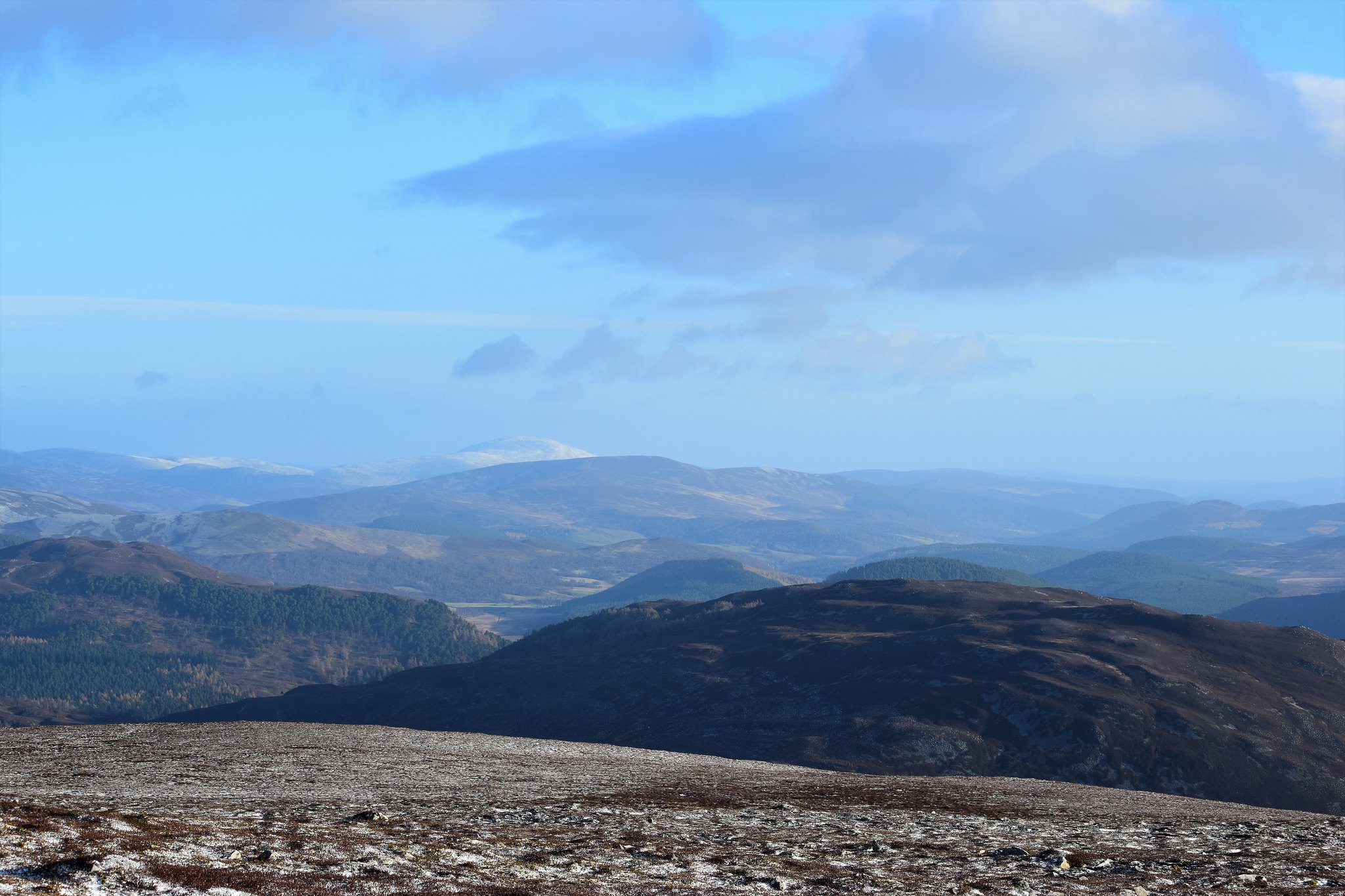 Lochnagar and White Mounth to SE, and all the crazy camo effects in the foreground - to quote Weaselmaster: "as though an insane giant had been let loose with an oversized lawnmower"
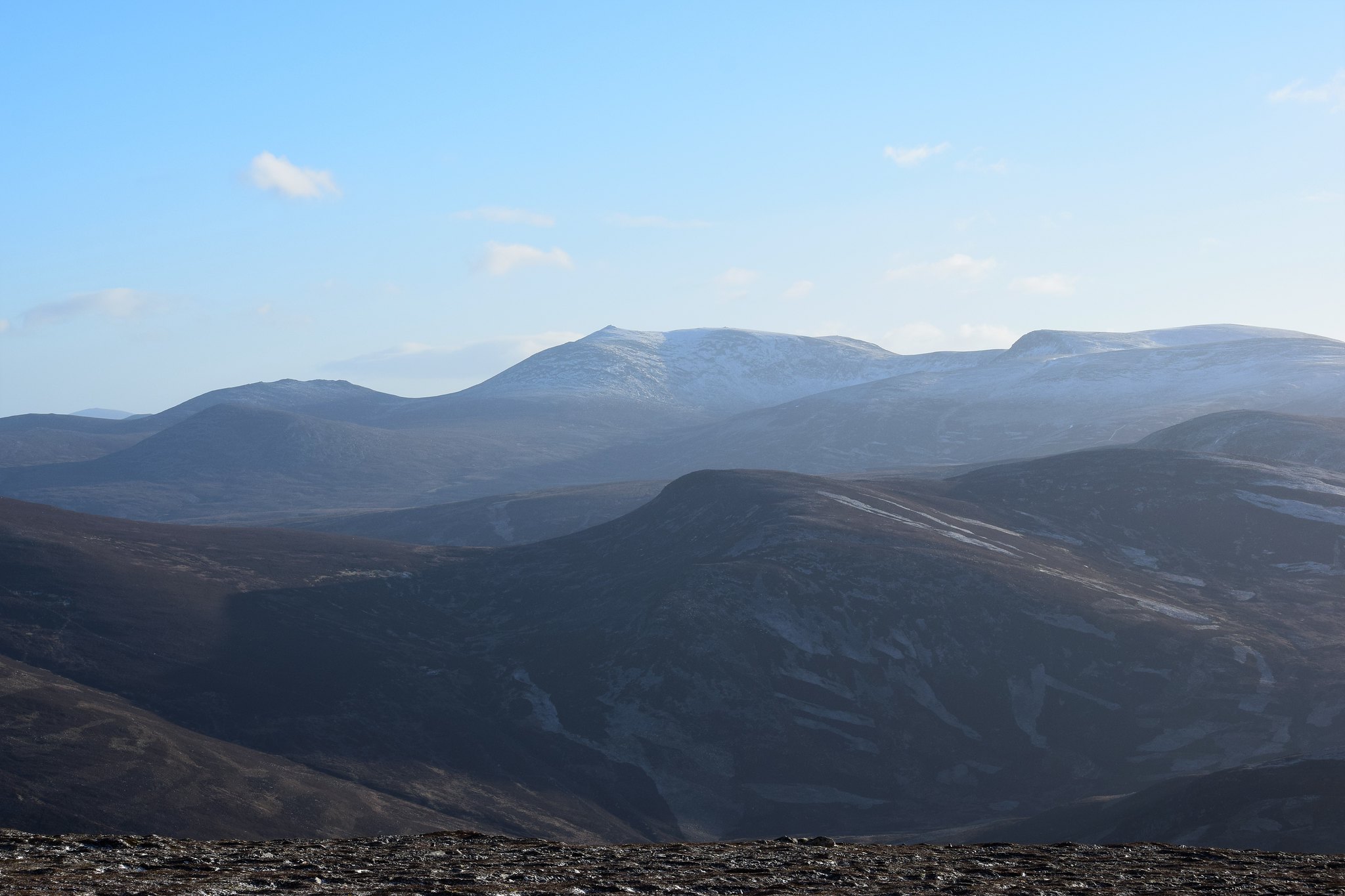 And south to the Glenshee Hills, with The Cairnwell on right plus all its ski stuff
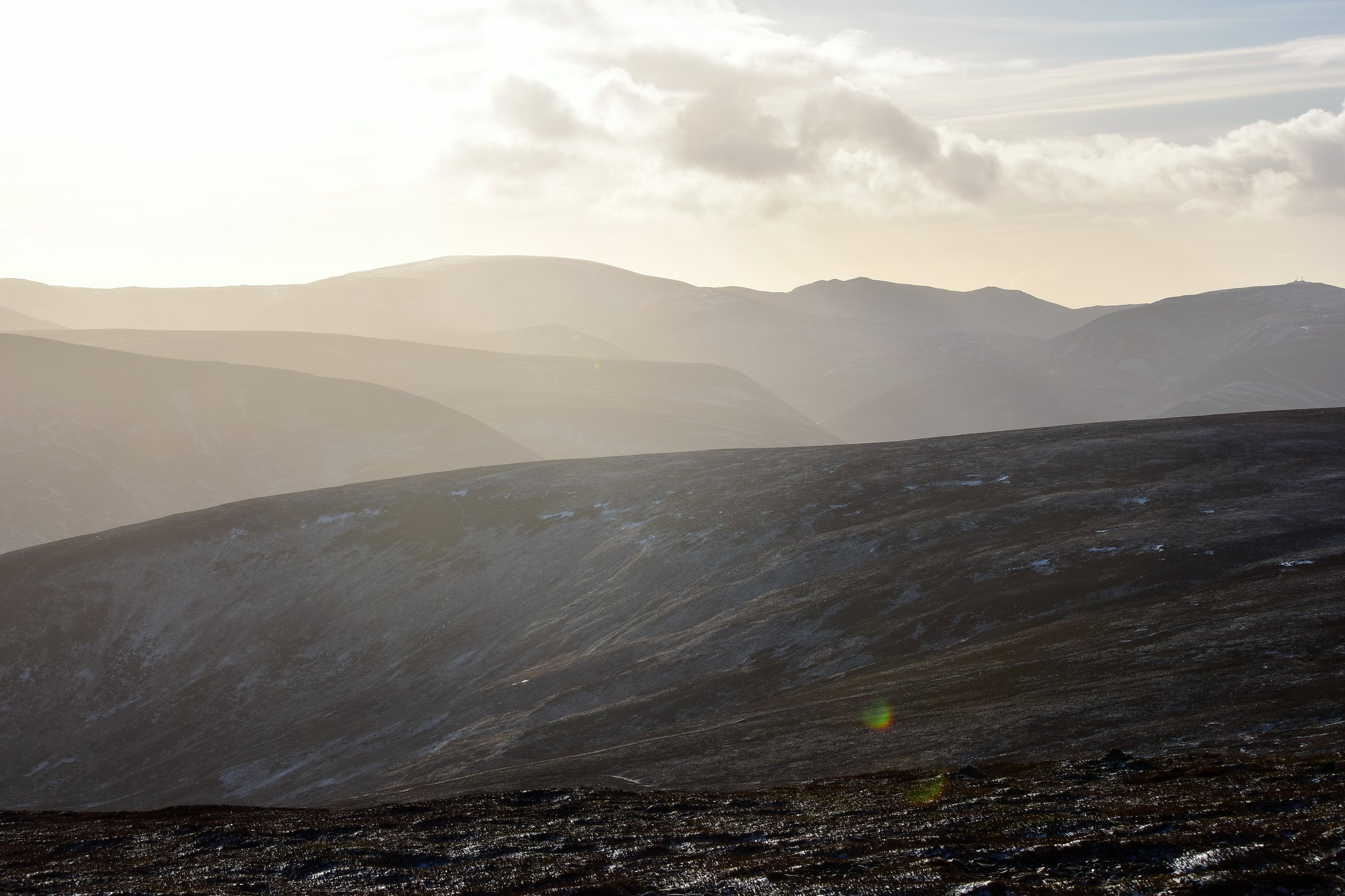 Lovely peaks and troughs south to An Socach and Glas Tulaichean
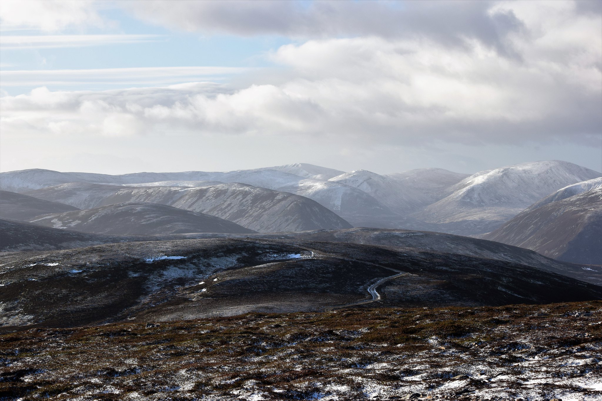 Schiehallion is poking up in the centre background, about 30+ miles away
 Over Glen Ey to Beinn a Ghlo - Carn Bhac and friends
 The white one is Beinn Dearg (Blair Atholl)
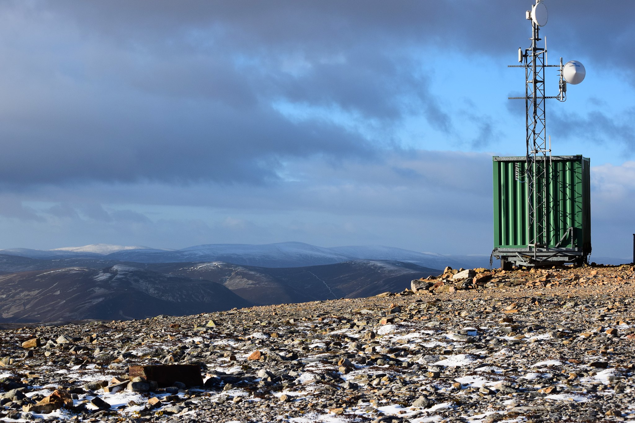
You can see the trailer under the latest comms hut in that picture. Presumably, that's what the big fresh scar of a track up the south side of Morrone is about. If so, why wasn't it helicoptered in, I wonder? (So saying, aesthetically, although it probably looks horrendous in the summer, and I wouldn't like to ascend this way, the track kind of didn't look too bad in this light & season.)
South track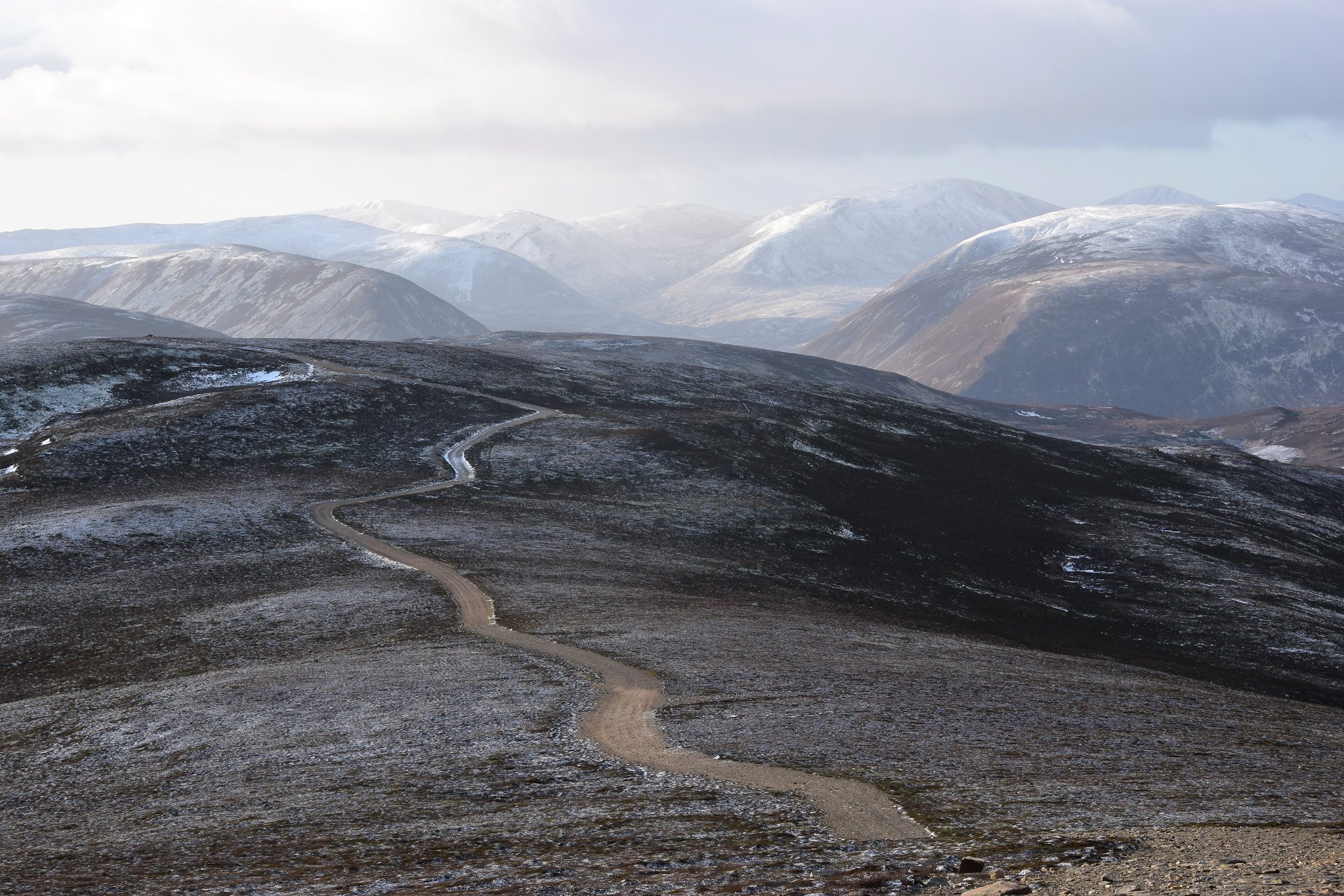 Not a nice walking ascent option though, in any season, I don't imagine - unless you're bagging at speed!
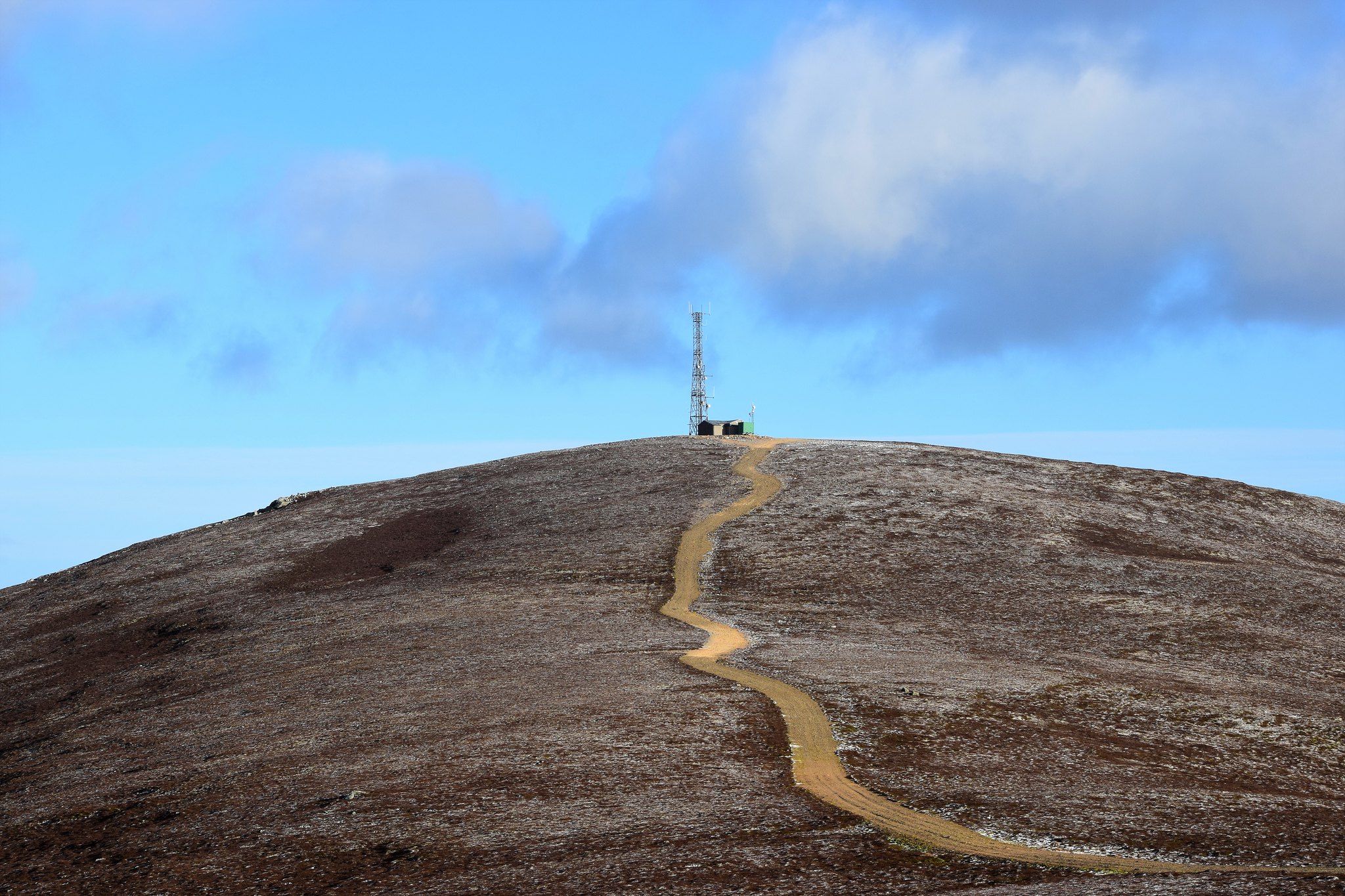
It would have been lovely to stay up there, sup coffee, eat snacks and enjoy the view, but that wind was strong and cold. Doubling up on gloves, reluctantly I headed down.
Last look over at Carn Toul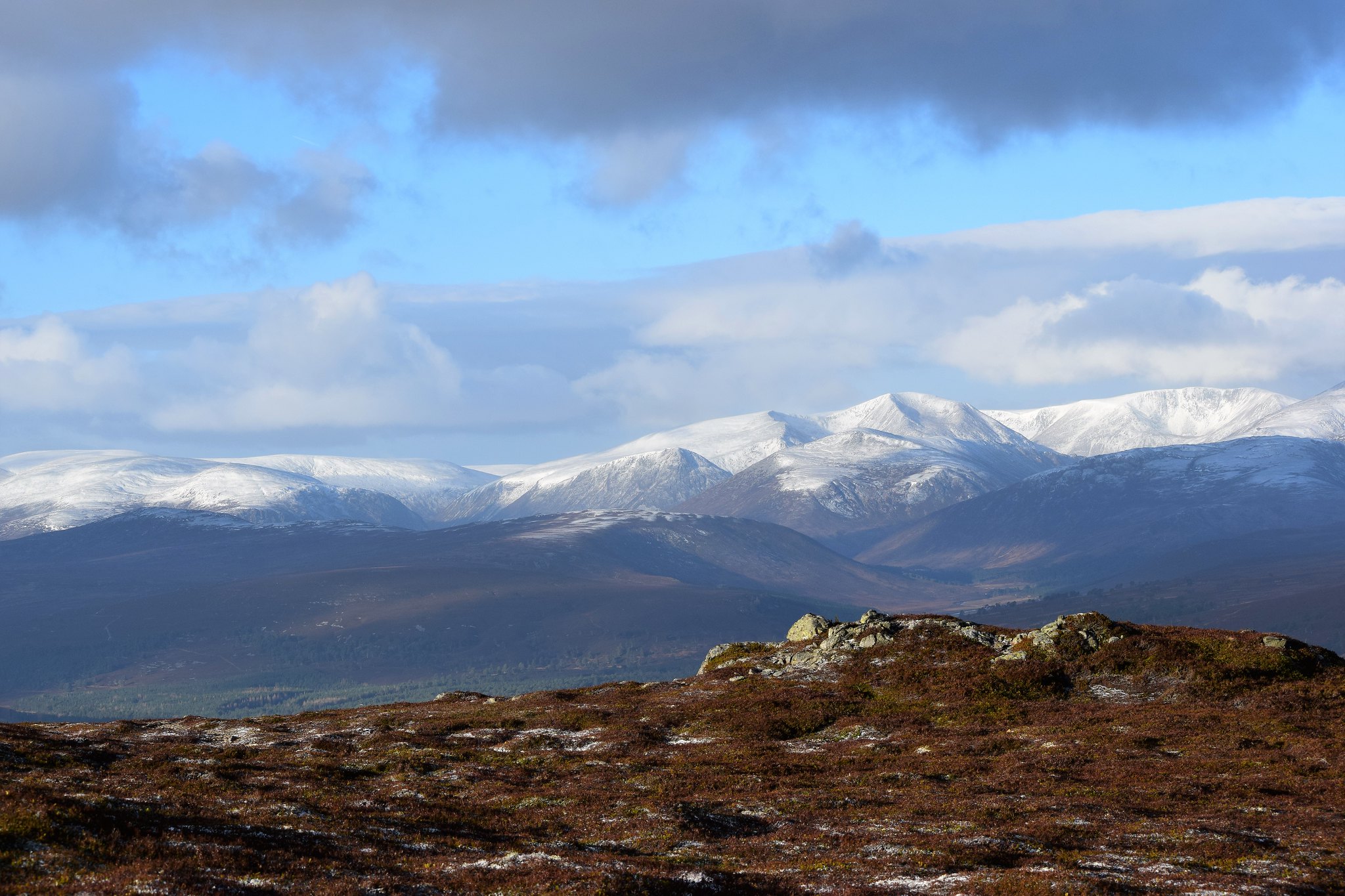
It was the bulldozed track all the way to the military road on the Clunie banks.
Grouse footprints in snow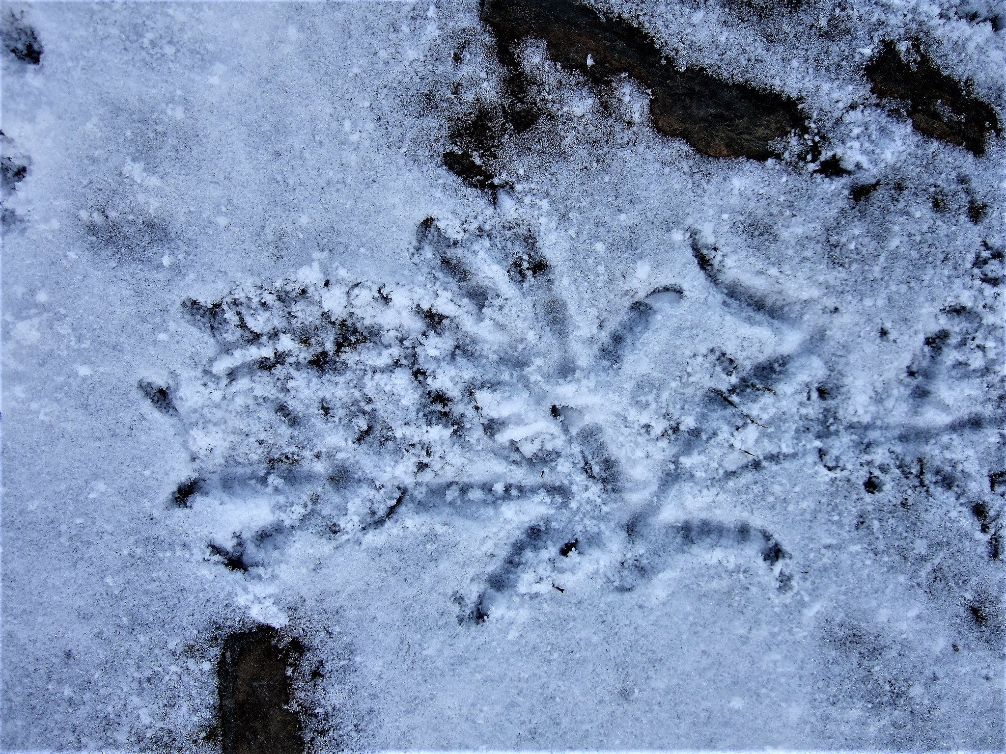 Rabbit and grouse footprints in the snow
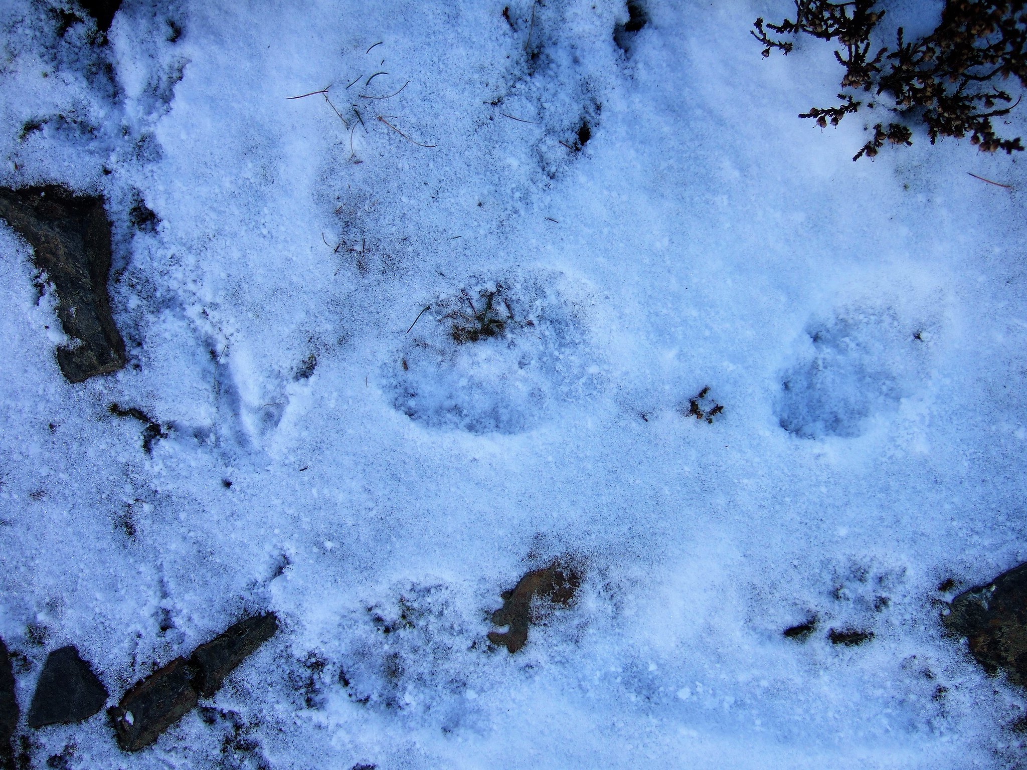 Dog. No grouse No rabbit
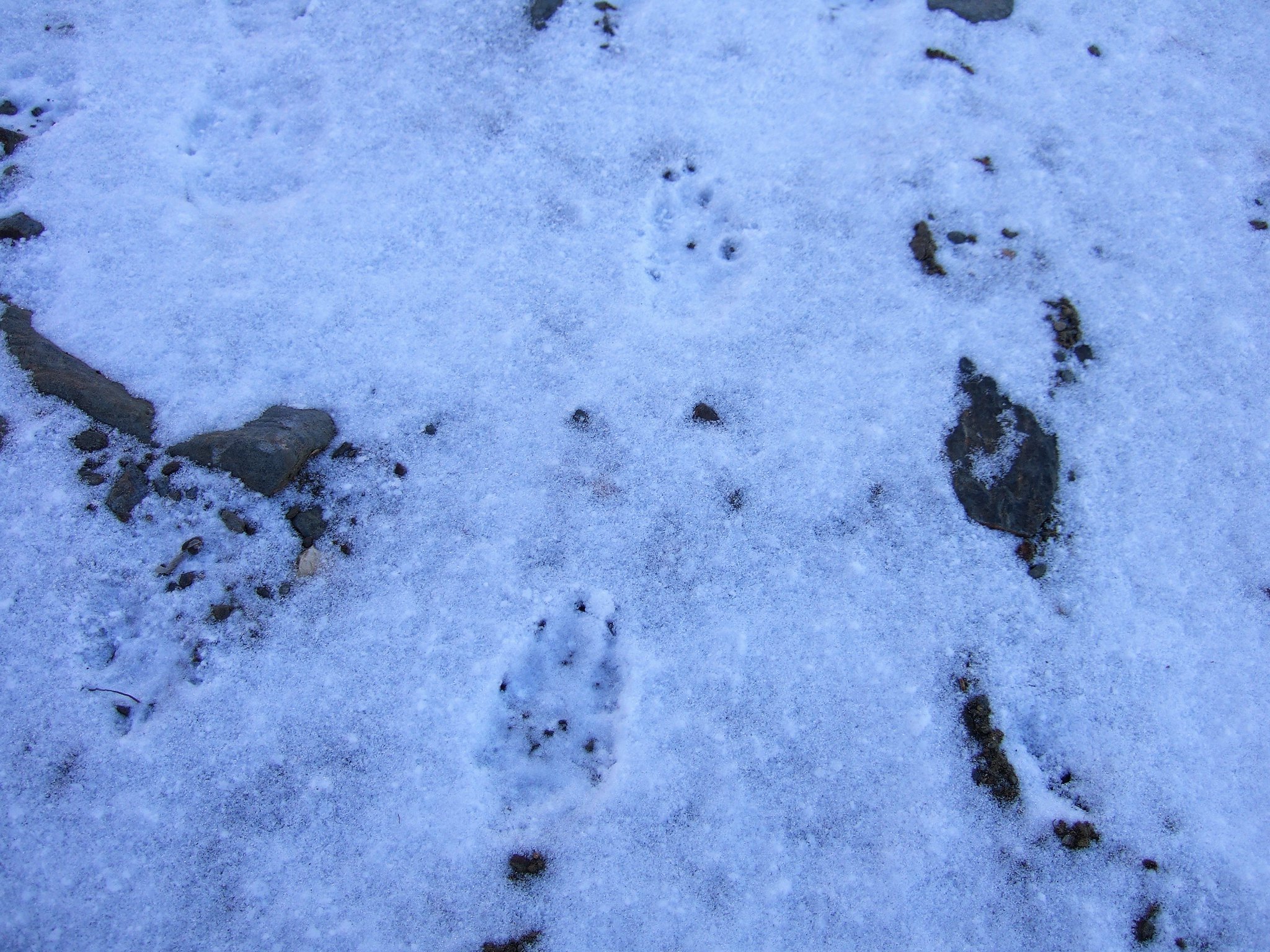 Down to Clunie Water
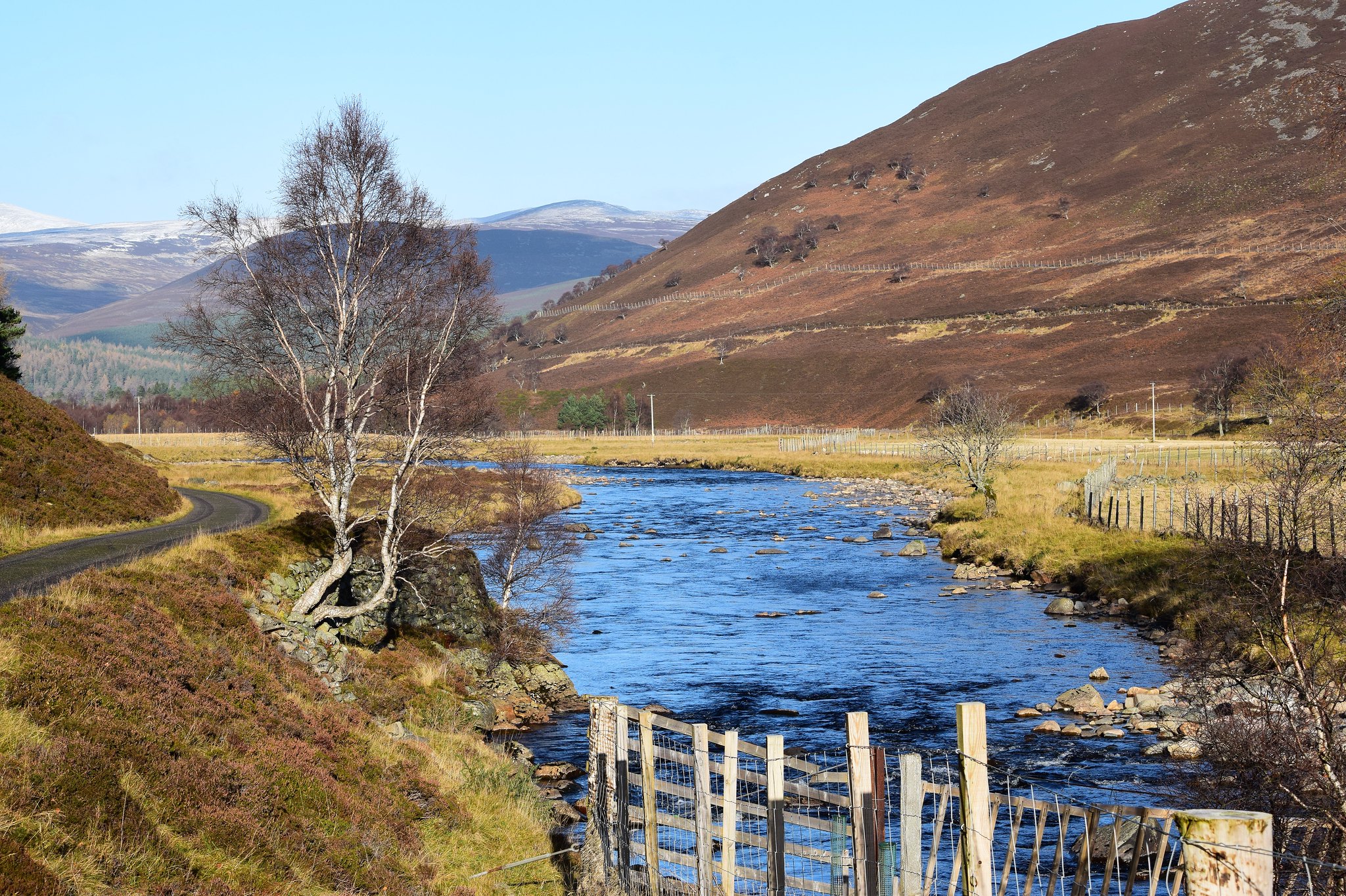 Braemar's is highest 18 hole golf course in UK
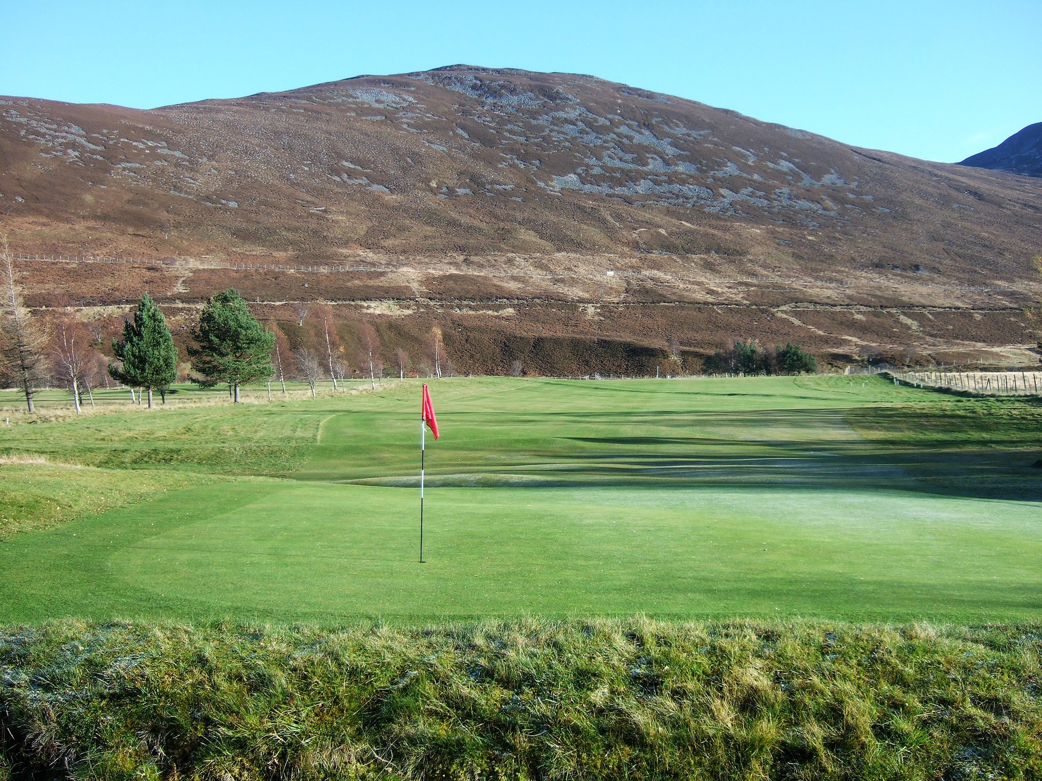
I discovered an interesting Braemar fact, much more interesting than golf

, which is that it's been both the warmest and the coldest place in the UK on the same day twice, because of its height and the way it's a sort of crater-shape, surrounded by hills. Isn't that weird! It's also reached - 27.2 °C, twice, in 1895 and 1982 - the lowest ever recorded UK temperature. I wonder if the Cailleach hung out up on Morrone before the modern weather bits and bobs.
From arriving at Clunie Water, it was just a sunny walk back to the village, through the golf course (obviously), past a lady who seemed to have driven specially to feed the ducks, and stopping only to pick up the inevitable bits of picnic-y rubbish and put them in the massive-can't-miss-them bins just down the road.
Item no.1 - green plastic bottle otherwise destined to join the oil industry ships down river at Aberdeen. Ironically.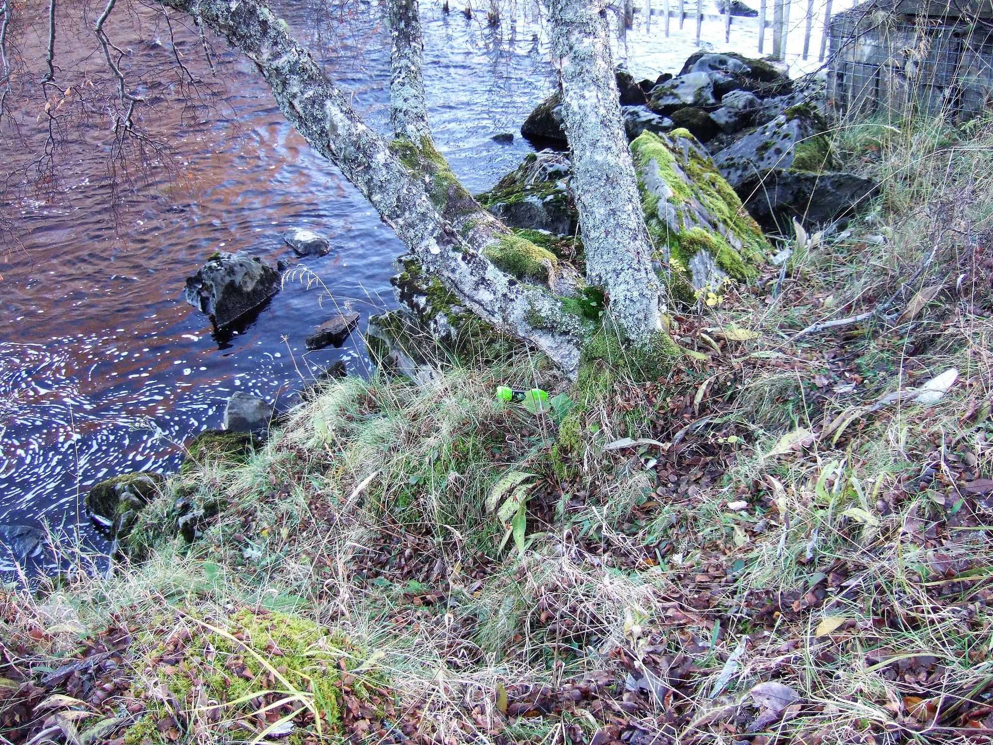 Not a bothy
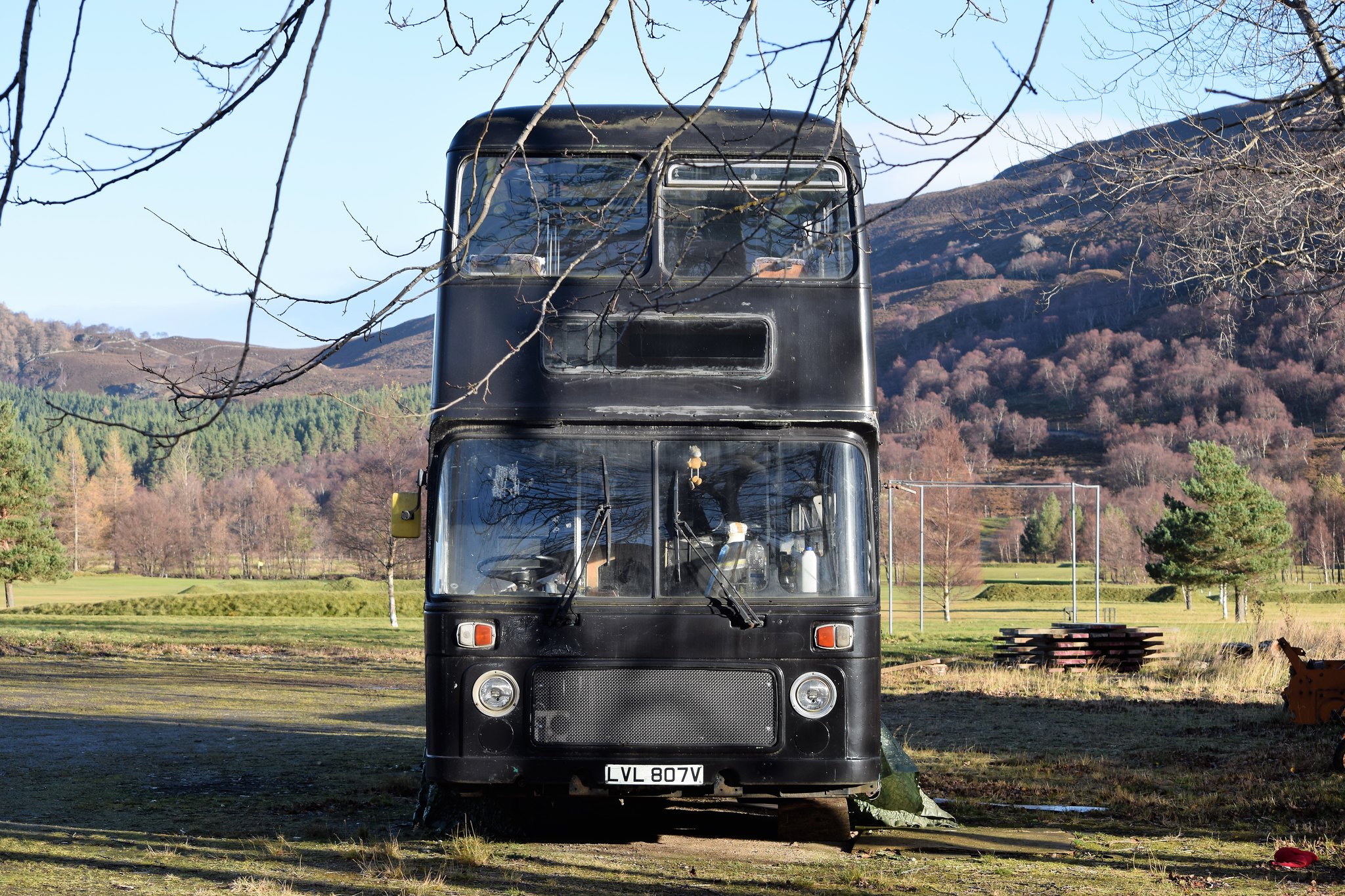 Victorian (of course), Gothic, and Free
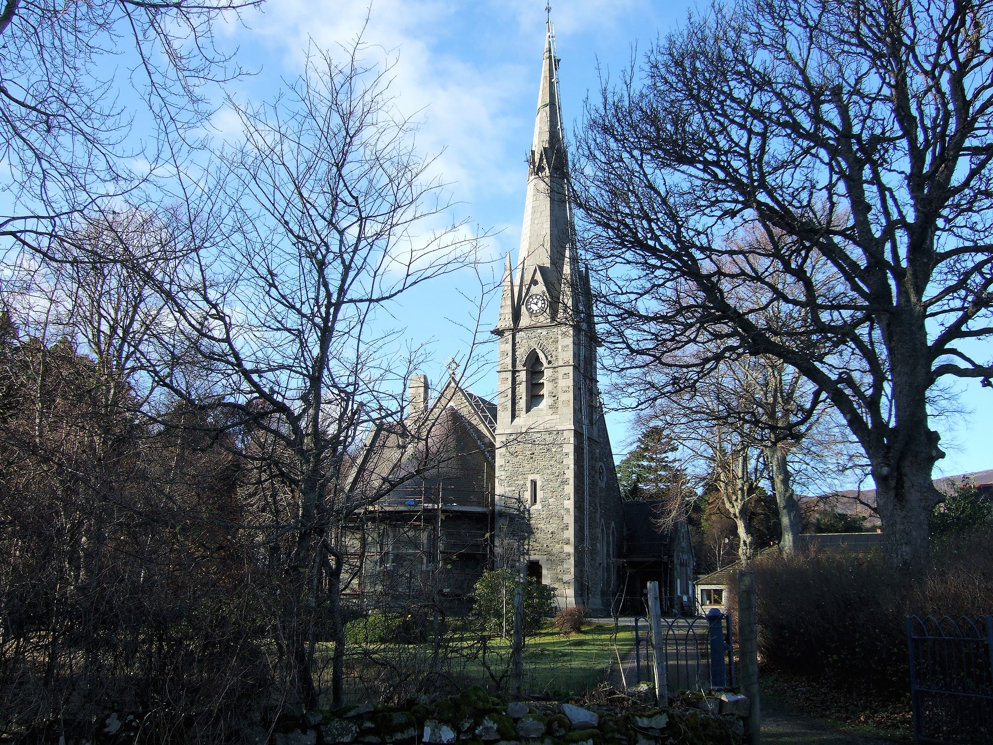 One granary millstone...
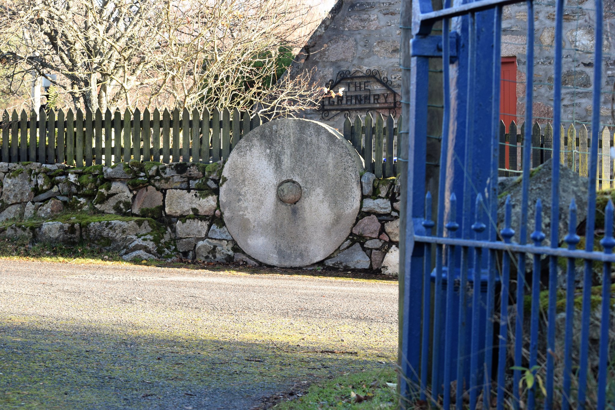 ...and its friend, the other one
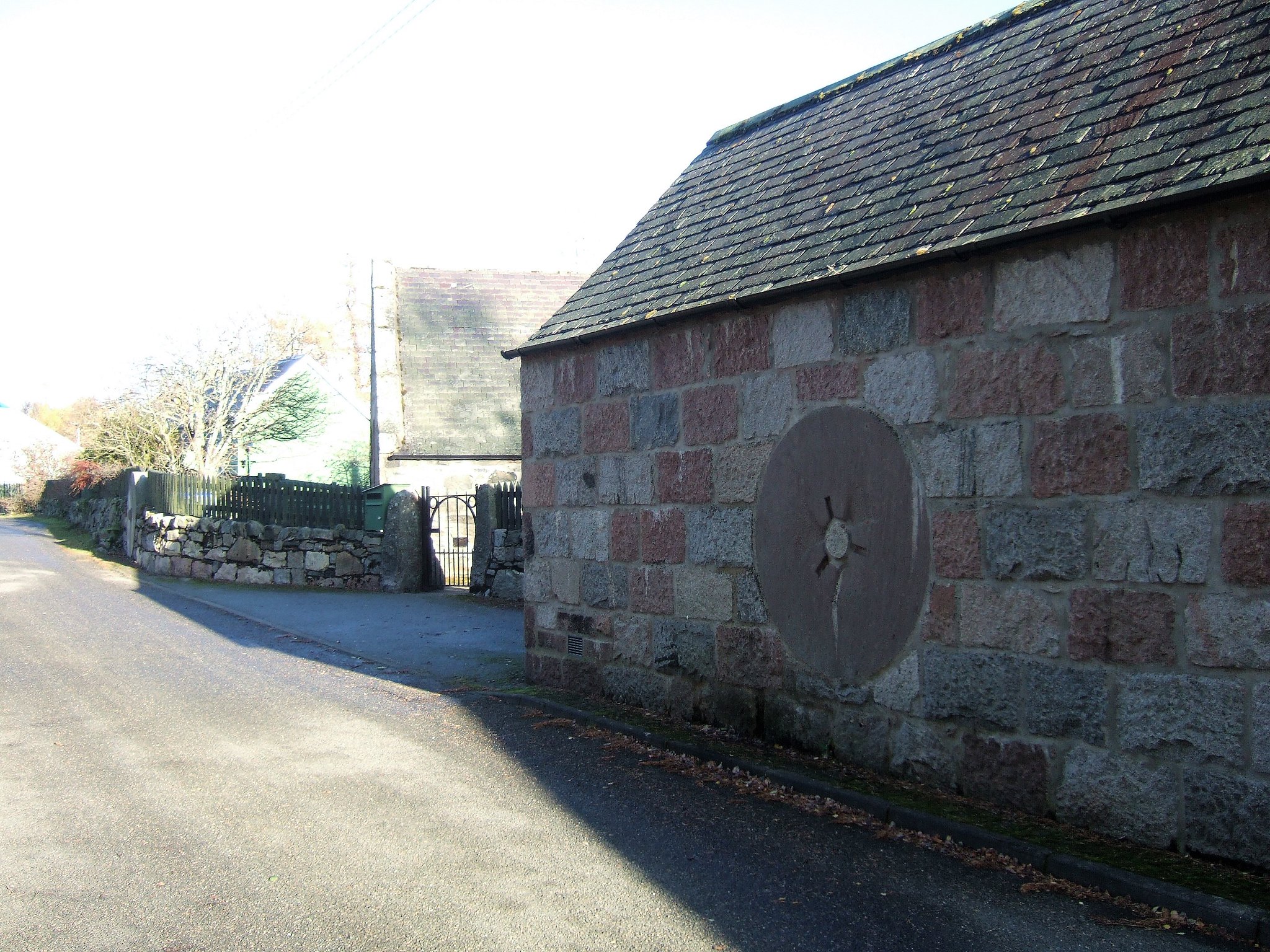 Back of the Wellington R1646 memorial in Braemar.
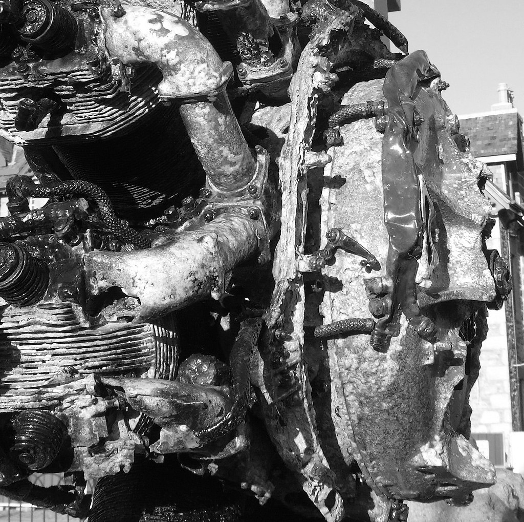
Interesting and moving memorial this. The aircraft crashed in 1942, and in 1999 one of the young lads in the search party - now much older - set about establishing this memorial, which uses one of the two Pegasus engines. Get up close, and you can see how the cables and pipes are all there, loose and movable amidst the molten metal.
Down a lot earlier than intended for the day, I headed to a cafe called Taste at the top of the village, for a delicious light lunch and explored the course of the Dee til sundown. The next day, would the wind have dropped, and if so, Lochnagar or Glenshee?
