free to be able to rate and comment on reports (as well as access 1:25000 mapping).
I had grander plans for Sunday back home but the forecast said heavy rain the night before so I awoke from a long lie annoyed to see it dry with little wind. Typical.
Not to be perturbed, I had some brunch then set off to do the Glen Rosa circuit like I had during the summer but this time i'd record a track and do a variation of the full loop to include the standing stones at the castle drive.
I set to record and head towards Goatfell...
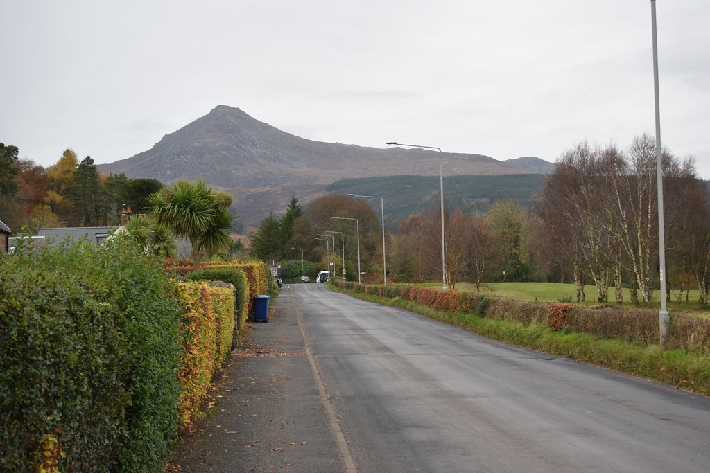 DSC_6828
 by
Chris Mac, on Flickr
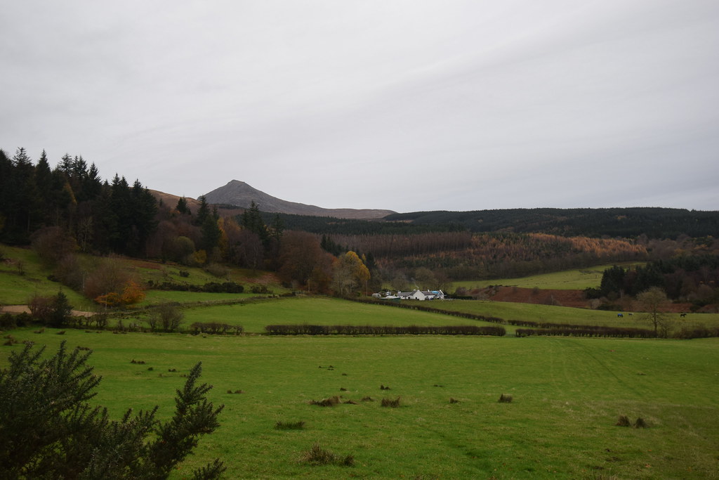
...passing the primary school and enjoying the colour array:
 DSC_6830
 by
Chris Mac, on Flickr
Past the Heritage Museum:
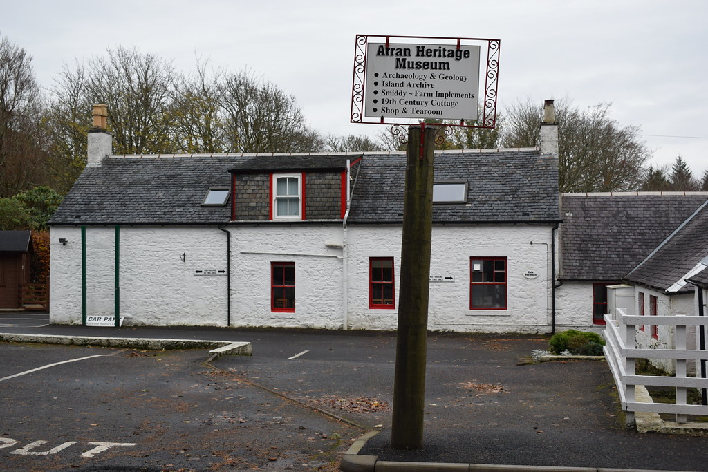 DSC_6833
 by
Chris Mac, on Flickr
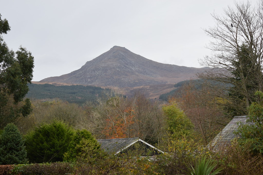
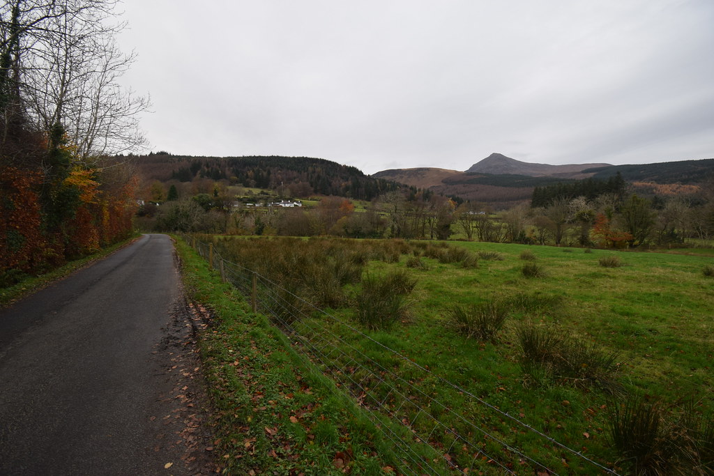
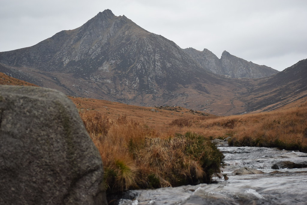
At the junction I head up the String, taking in the view of my target in the distance with Beinn a'Chliabhain and Glenshant Hill guarding the mouth of Glen Rosa:
 DSC_6836
 by
Chris Mac, on Flickr
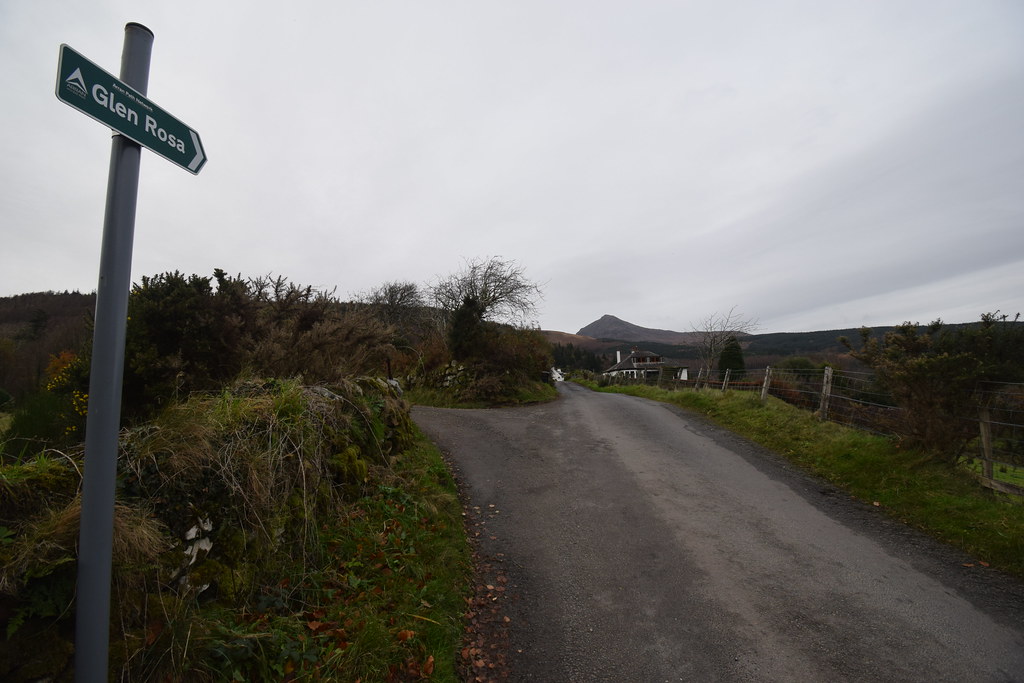
A few paces up the string and it's a right turn to Glen Rosa:
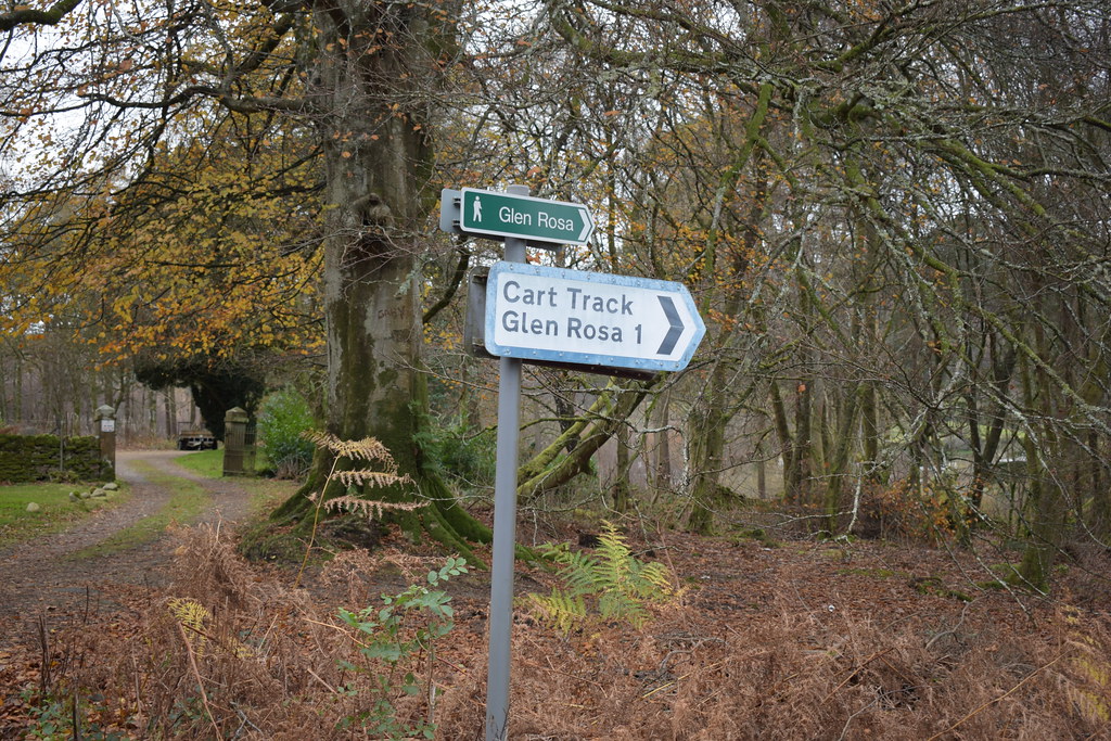 DSC_6838
 by
Chris Mac, on Flickr
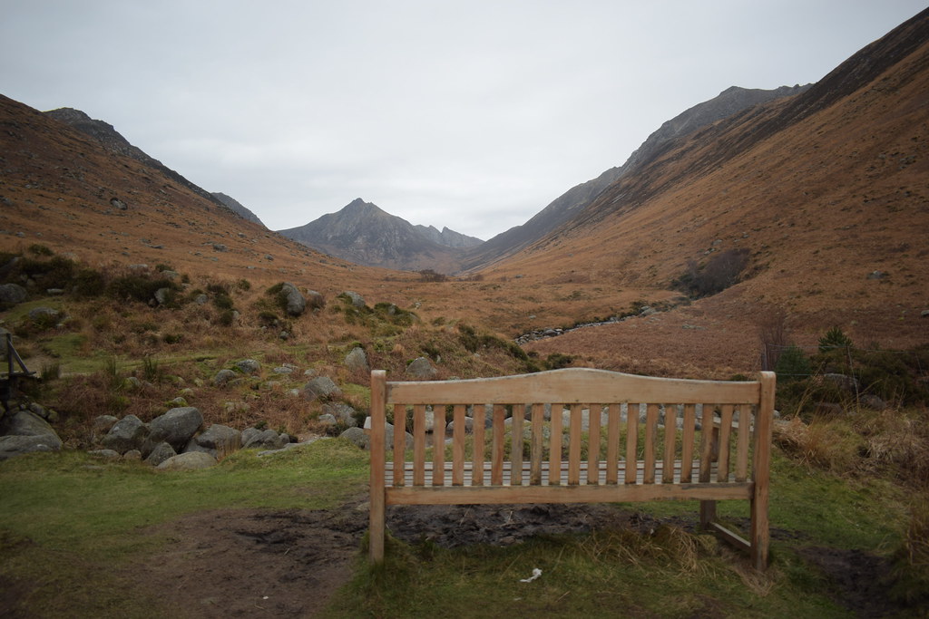
Lovely:
 DSC_6843
 by
Chris Mac, on Flickr
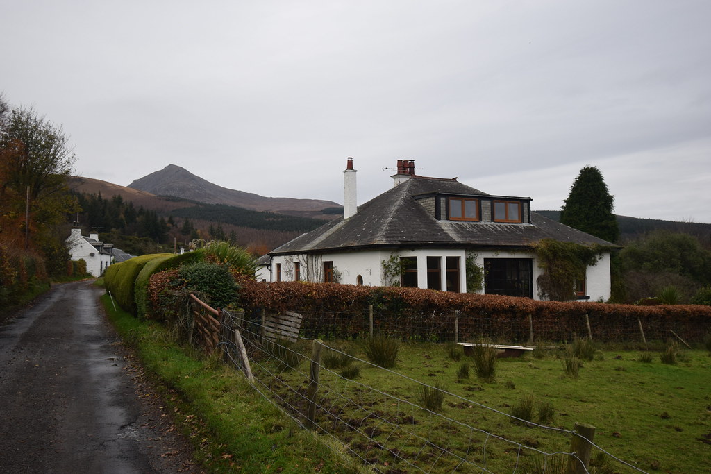
I pass the Small residence:
 DSC_6845
 by
Chris Mac, on Flickr
At this point I lost 15 minutes...
 DSC_6846
 by
Chris Mac, on Flickr
...due to bumping into local legend Charlester and blethering about hills, Nags, taxi's, walking and more!

Looking towards the mouth of Glen Rosa where the camp site is located behind the while buildings:
 DSC_6847
 by
Chris Mac, on Flickr
I pass the campsite on the right as the road turns to track into the Glen:
 DSC_6851
 by
Chris Mac, on Flickr
Distant Beinn Nuis and Glenshant Hill:
 DSC_6853
 by
Chris Mac, on Flickr
 DSC_6861
 by
Chris Mac, on Flickr
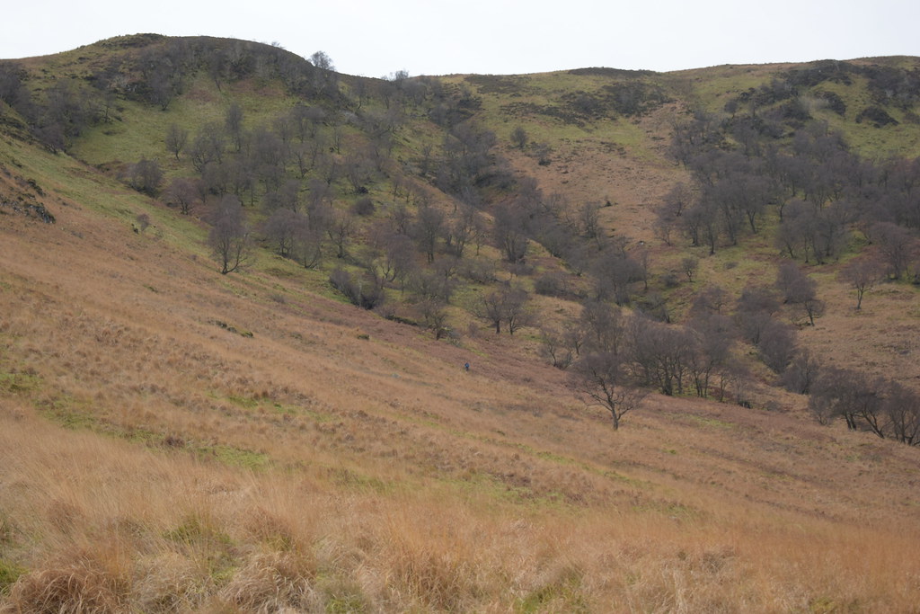
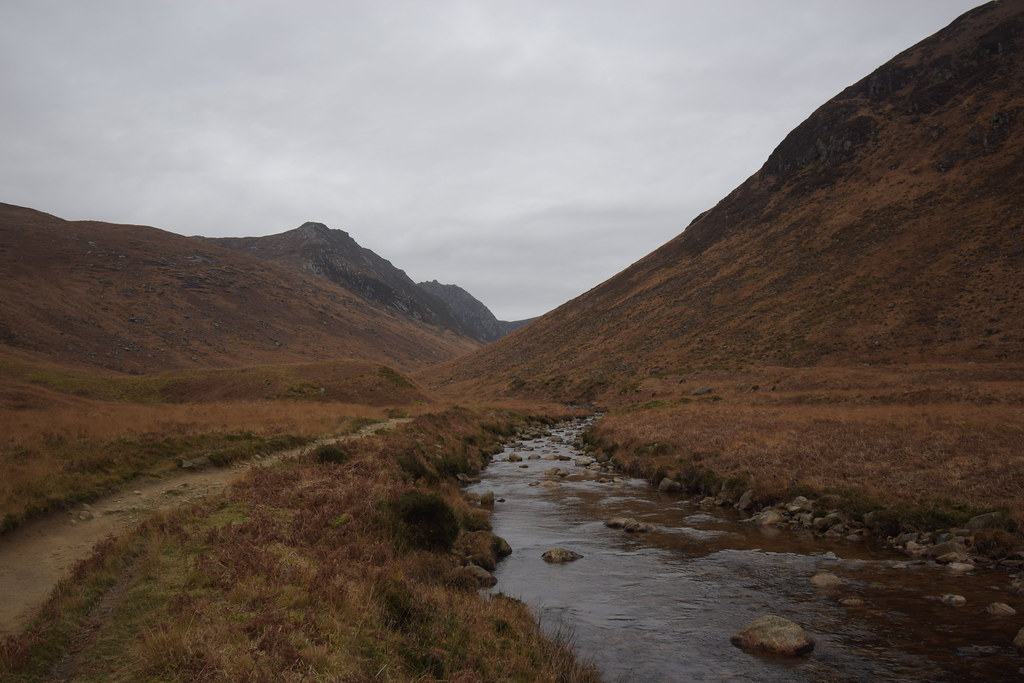
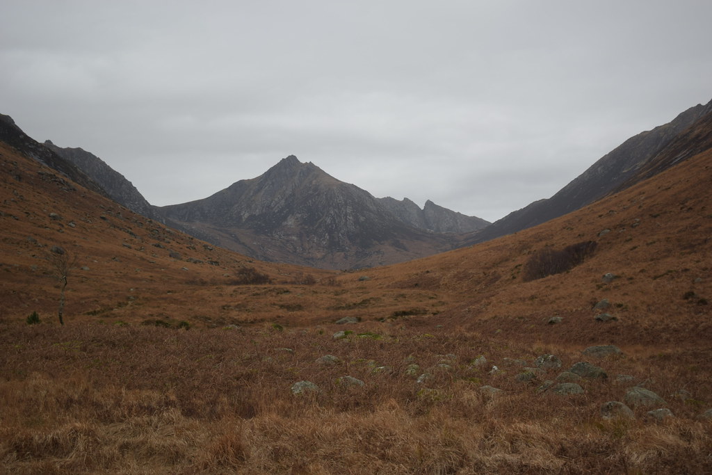
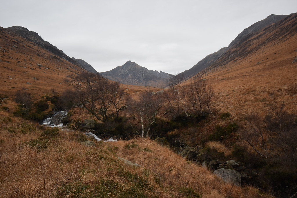
Into the Glen and it opens out as peaks reveal themselves slowly:
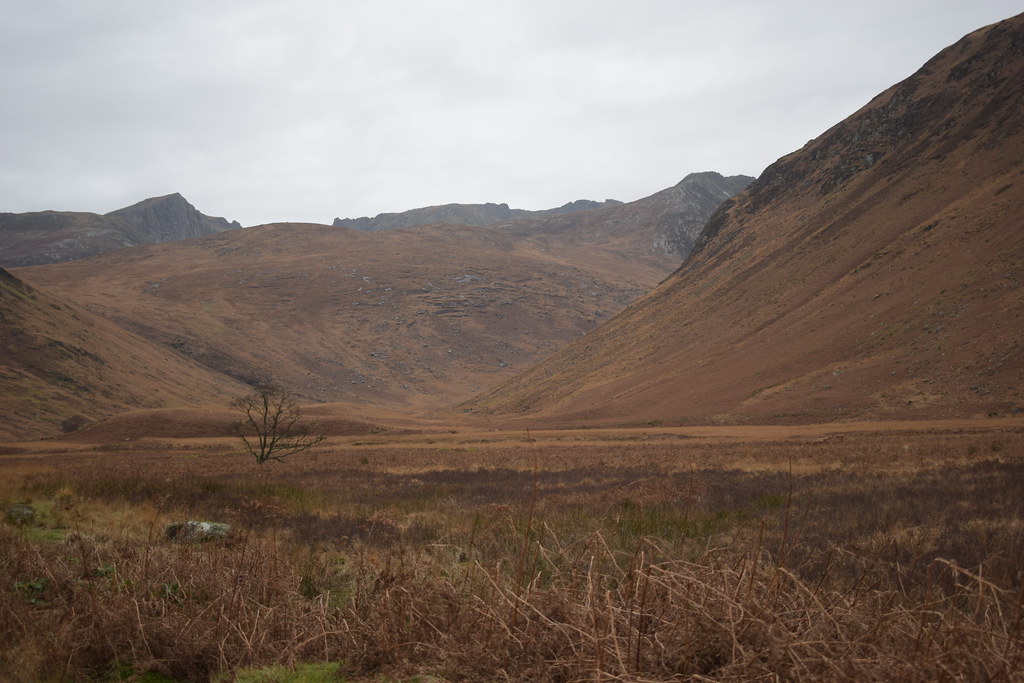 DSC_6863
 by
Chris Mac, on Flickr
The lone tree:
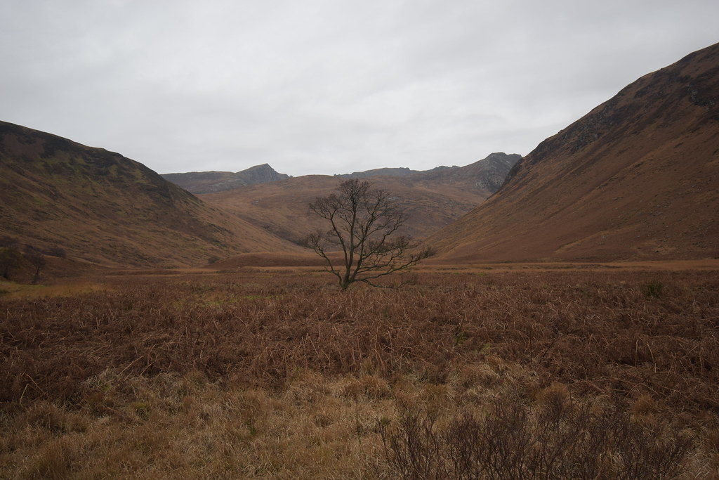 DSC_6870
 by
Chris Mac, on Flickr
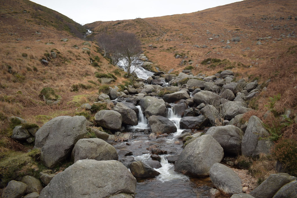
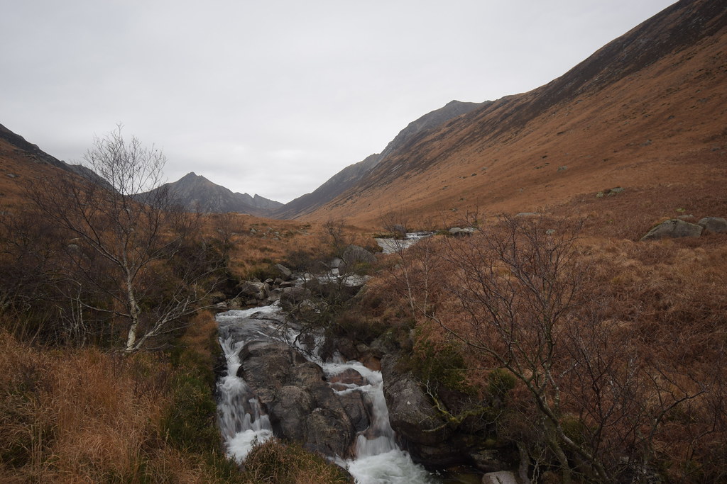
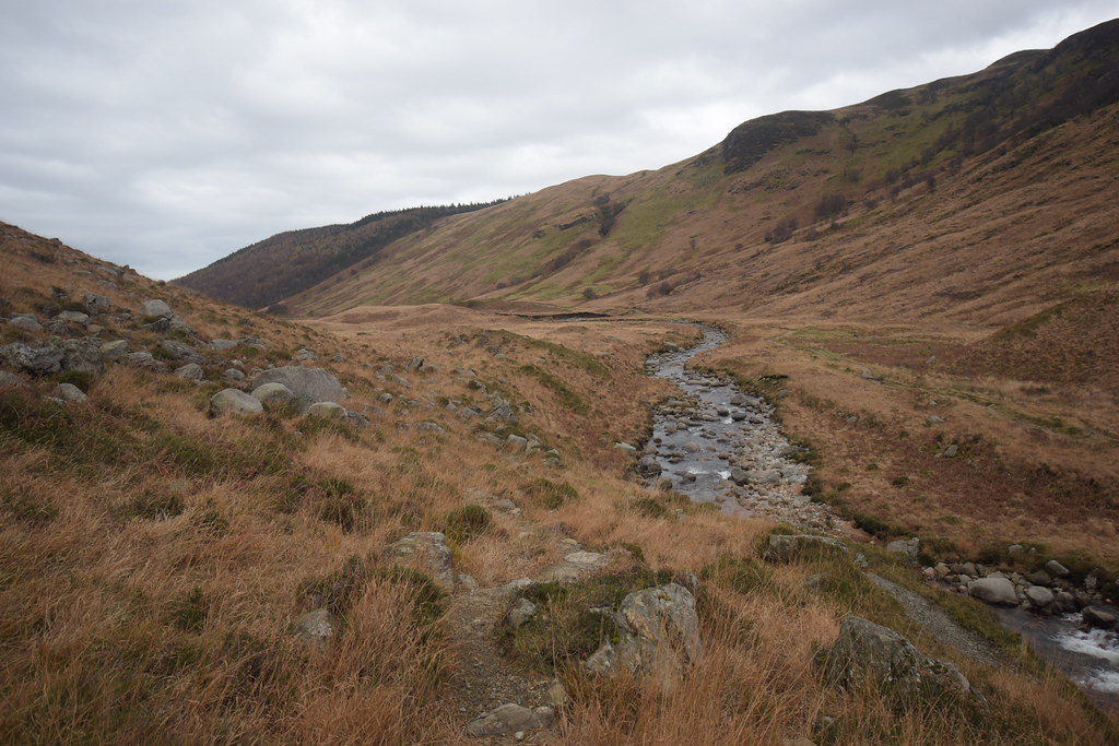
The path begins to follow Rosa Water:
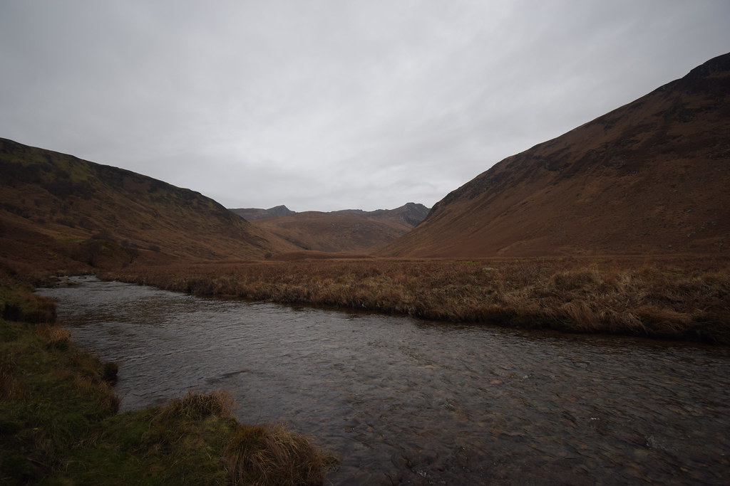 DSC_6871
 by
Chris Mac, on Flickr
 DSC_6876
 by
Chris Mac, on Flickr
Up the hillside to my left I spot someone coming down which surprises me!
 DSC_6884
 by
Chris Mac, on Flickr
It's not the normal route so I sense a bagger is out playing.

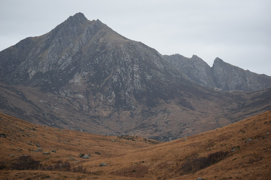
The summit of A'Chir is now visible, also known as Lord Bingham's Nose!
 DSC_6886
 by
Chris Mac, on Flickr
It's the off-piste bagger!
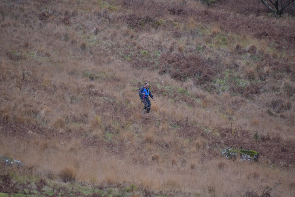 DSC_6894
 by
Chris Mac, on Flickr
His path takes him towards me and we spend some time blethering about his route, he had come down from bagging Cul nan Creagan, along with hill walking in general, the Arran hills and how tricky the A'Chir ridge is. Just after that I chatted to two American girls who had enjoyed a walk up the Glen but that was the last people I would see before having just the twilight and Stags for company.
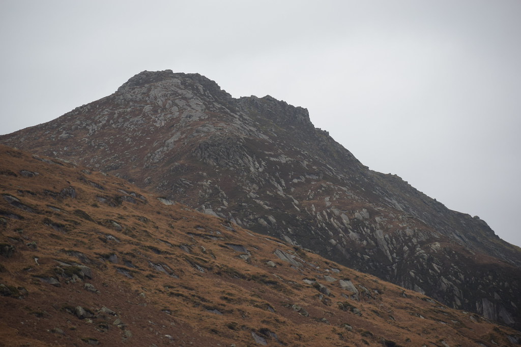
Beinn Nuis summit, the hill of the face:
 DSC_6898
 by
Chris Mac, on Flickr
 DSC_6900
 by
Chris Mac, on Flickr
Looking along the ridge to Beinn Tarsuinn, the small outcrop of rock to the right is the Old Man of Tarsuinn:
 DSC_6902
 by
Chris Mac, on Flickr
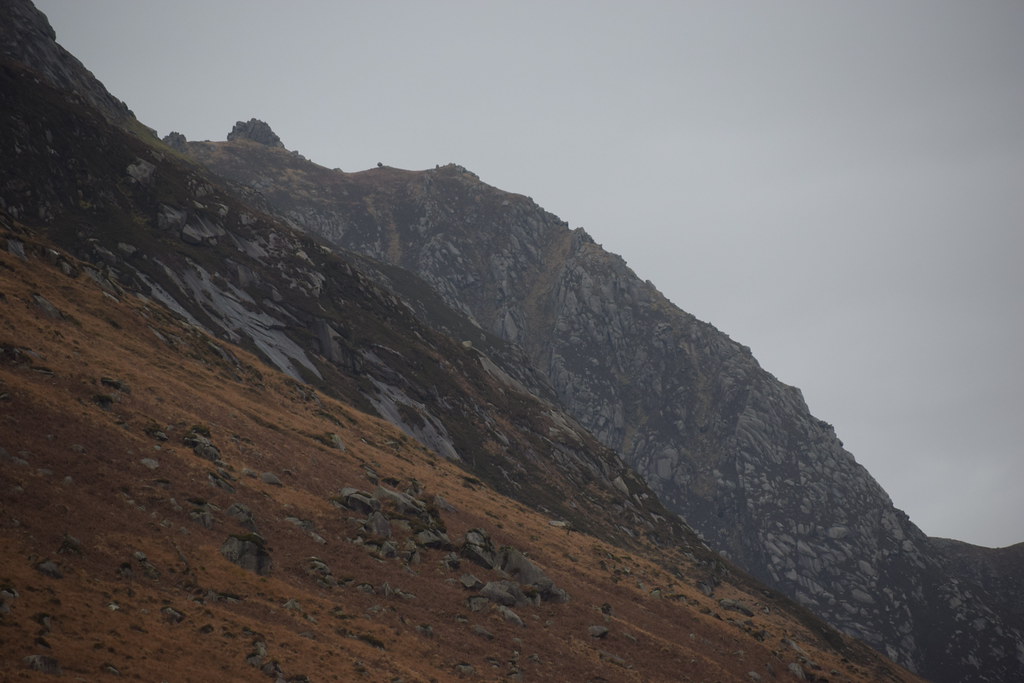
Beinn Tarsuinn summit:
 DSC_6905
 by
Chris Mac, on Flickr
Beinn a'Chliabhain and A'Chir:
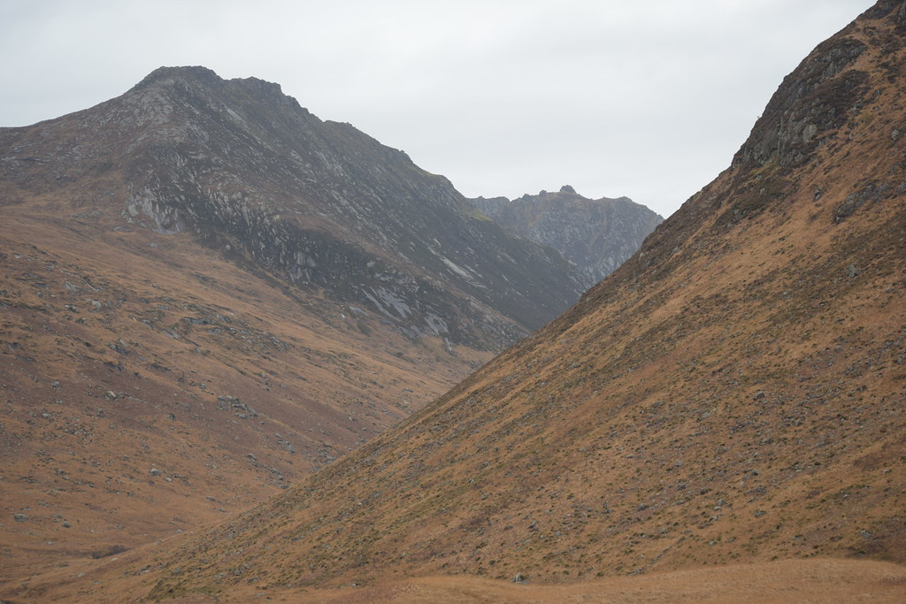 DSC_6909
 by
Chris Mac, on Flickr
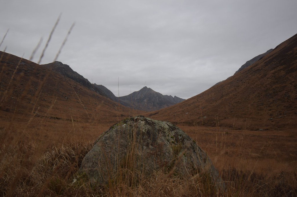
As I travel along the path I decide to go off to the right and climb the small drumlin for a better view up the Glen:
 DSC_6914
 by
Chris Mac, on Flickr
Unfortunately the view from there isn't far enough along so I continue along some rough hillside, jumping tussocks and bog water to find a decent spot:
 DSC_6921
 by
Chris Mac, on Flickr
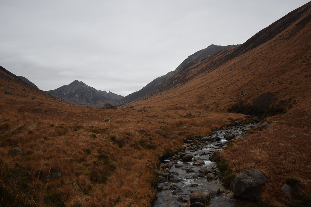
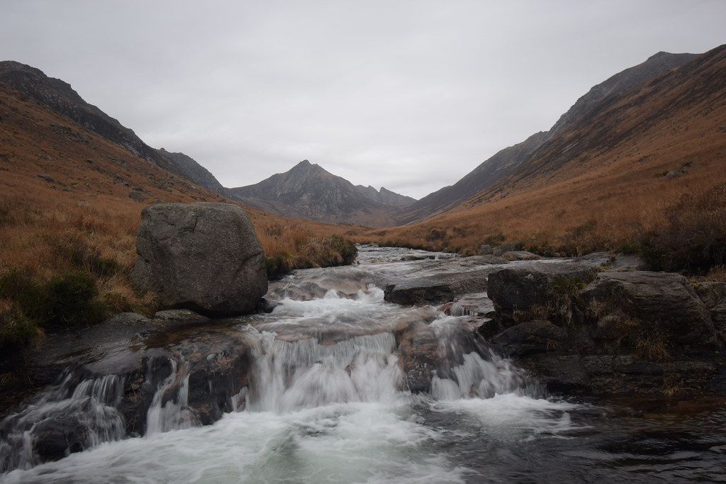
One of my favourite views:
 DSC_6940
 by
Chris Mac, on Flickr
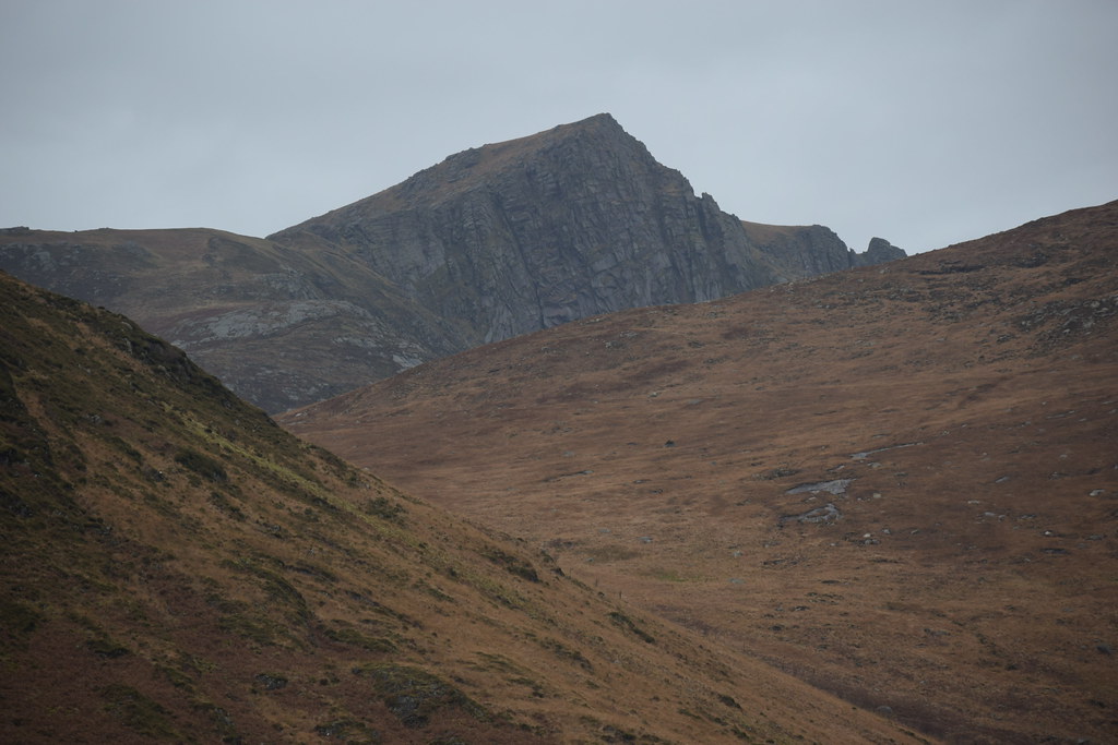
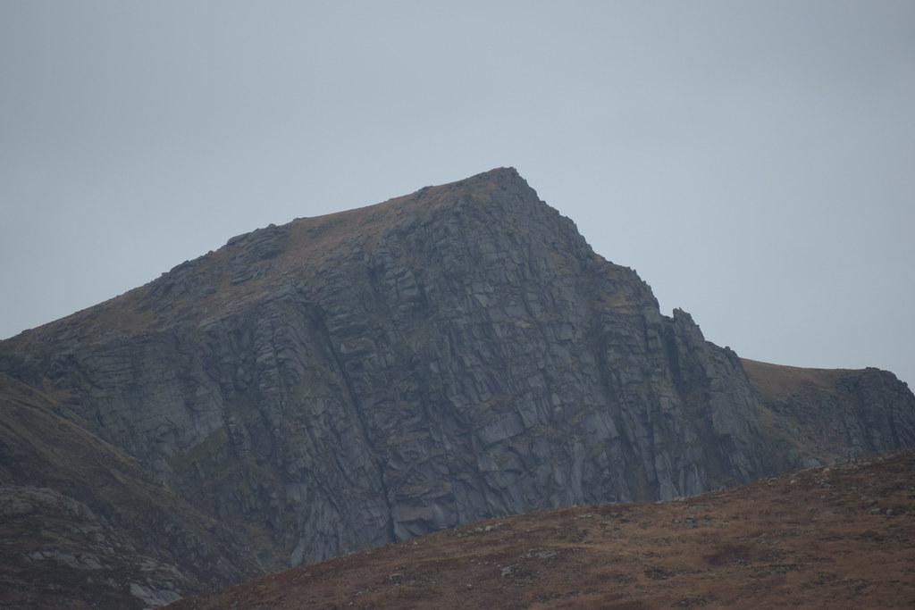
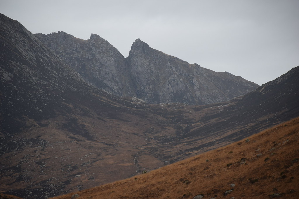
Cir Mhor's summit with the crazy downclimb chimney route showing:
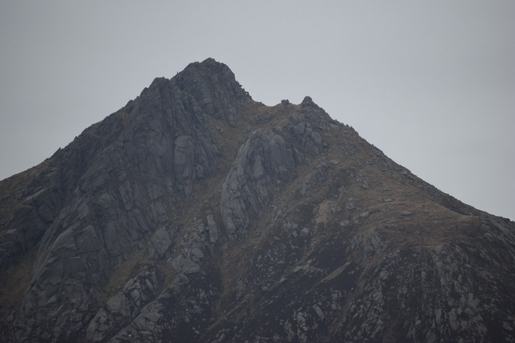 DSC_6944
 by
Chris Mac, on Flickr
The Saddle:
 DSC_6946
 by
Chris Mac, on Flickr
Ceum na Caillich:
 DSC_6950
 by
Chris Mac, on Flickr
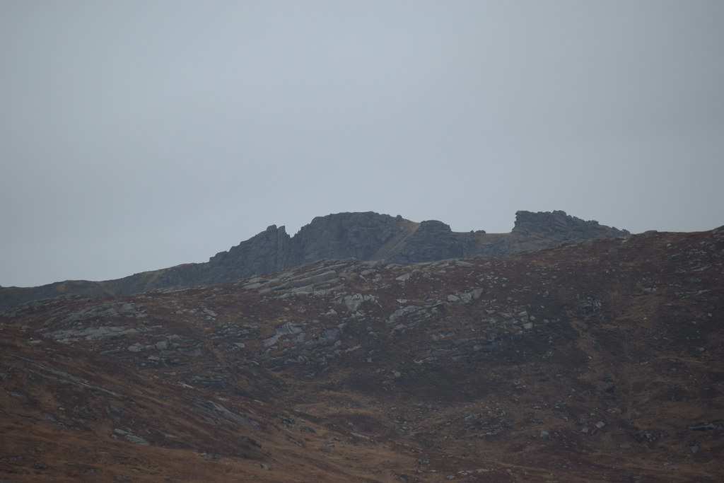
Beinn a'Chliabhain:
 DSC_6953
 by
Chris Mac, on Flickr
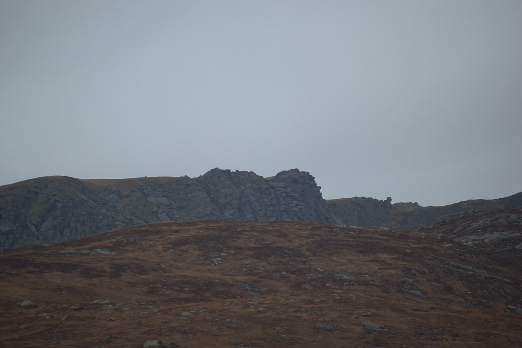
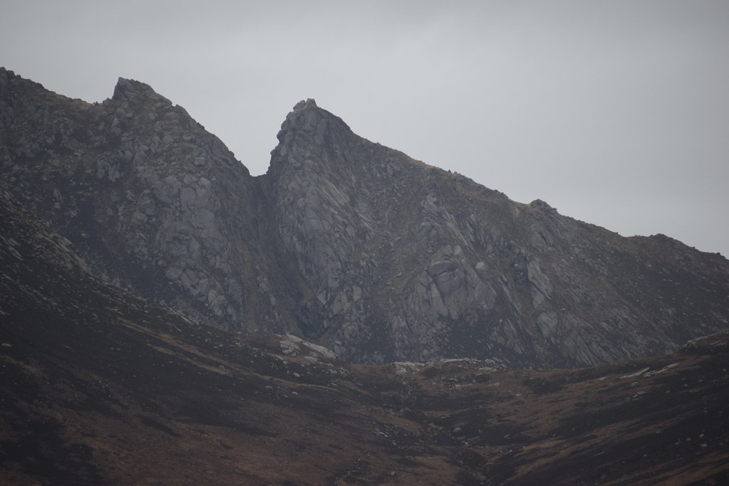
A'Chir:
 DSC_6955
 by
Chris Mac, on Flickr
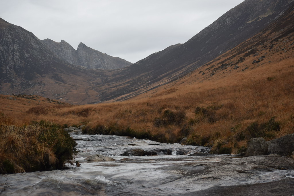
Glen Rosa:
 DSC_6990
 by
Chris Mac, on Flickr
 DSC_6996
 by
Chris Mac, on Flickr
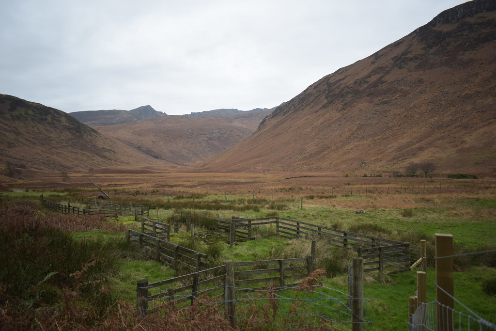
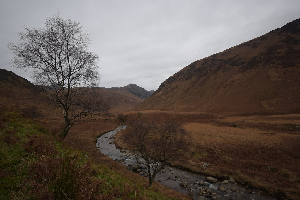
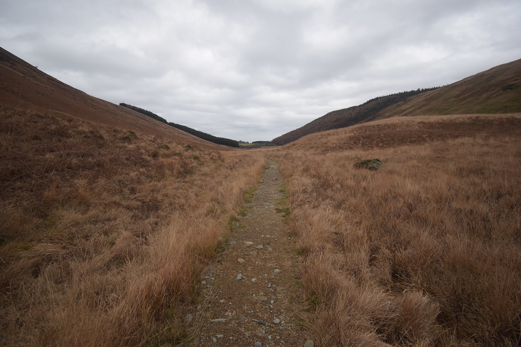
I head further along and rejoin the path to go further up Glen Rosa towards the pools just past where i'll cross the Rosa water to return home via the other side of the Glen. I pass the Garbh Allt on the left which is the route up to Beinn Tarsuinn and tops:
 DSC_7000
 by
Chris Mac, on Flickr
Goatfell's steep west side and summit now more visible:
 DSC_7017
 by
Chris Mac, on Flickr
Scenic in winter colours compared to the greens during the summer:
 DSC_7020
 by
Chris Mac, on Flickr
Between the two big Glens on Arran it's hard to choose a favourite between Glen Rosa and Glen Sannox, both are spectacular and both feature Cir Mhor in the middle:
 DSC_7025
 by
Chris Mac, on Flickr
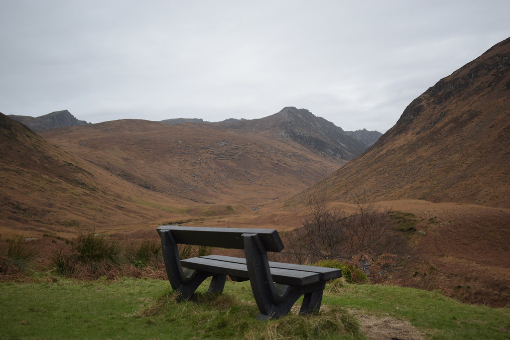
I reach the best photo spot:
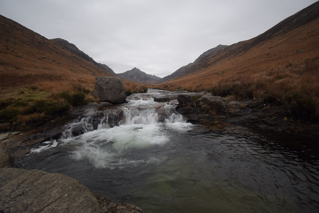 DSC_7045
 by
Chris Mac, on Flickr
 DSC_7047
 by
Chris Mac, on Flickr
 DSC_7052
 by
Chris Mac, on Flickr
 DSC_7063
 by
Chris Mac, on Flickr
Goatfell (Windy Hill):
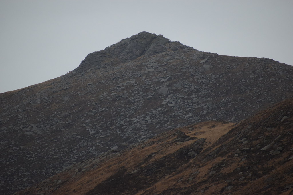 DSC_7077
 by
Chris Mac, on Flickr
Satisfied and with time and light running out, I make my way back the way I came but head left to cross Rosa Water on the wee bridge:
 DSC_7084
 by
Chris Mac, on Flickr
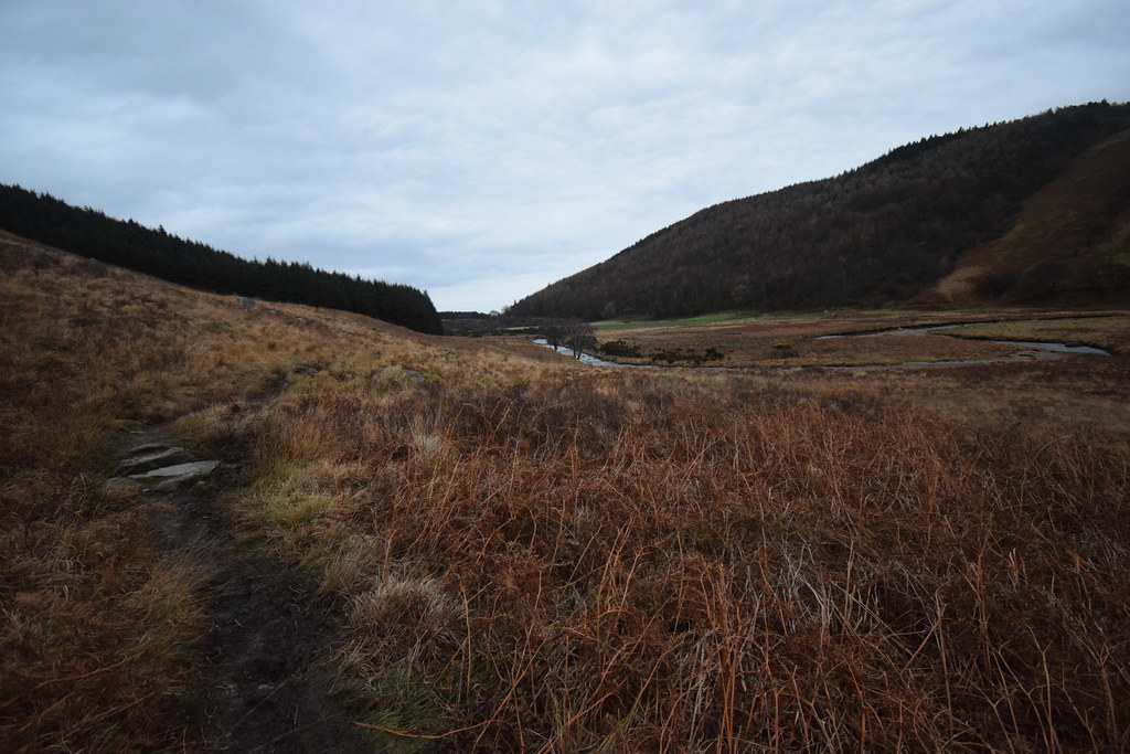
Progress is fast as I make my way back:
 DSC_7092
 by
Chris Mac, on Flickr
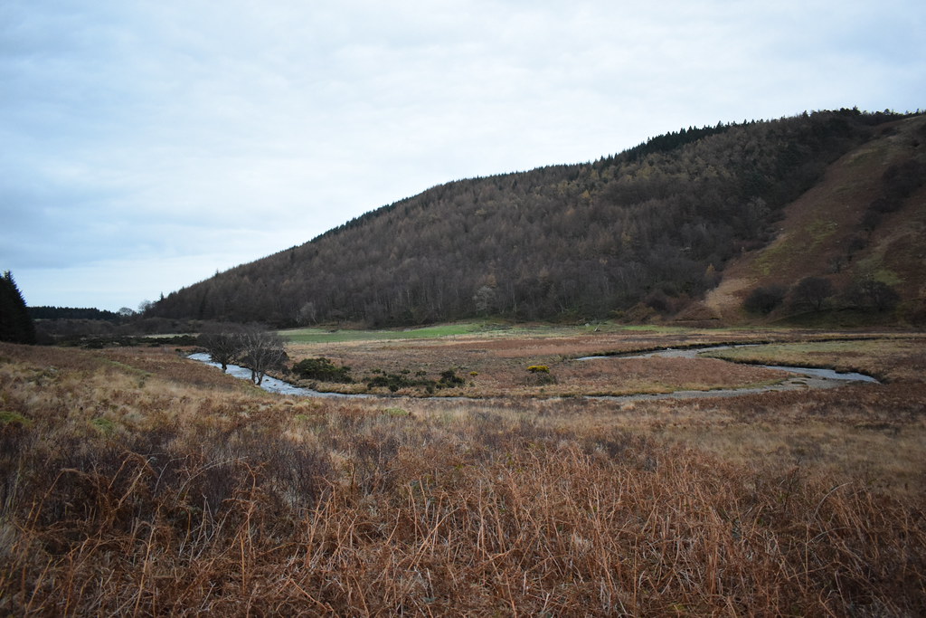
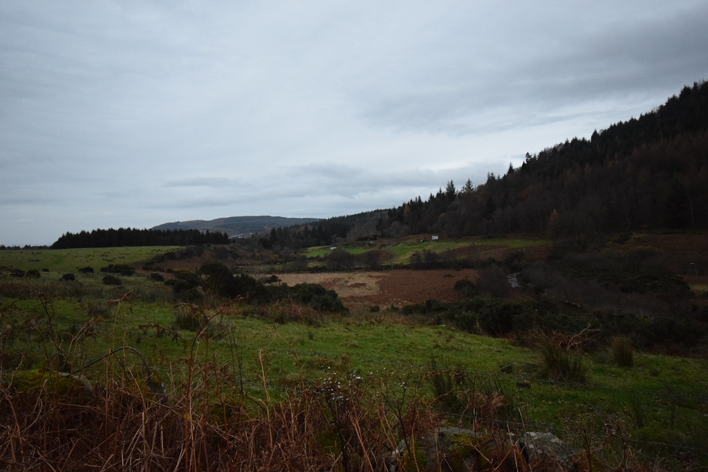
Mouth of the Glen now visible:
 DSC_7093
 by
Chris Mac, on Flickr
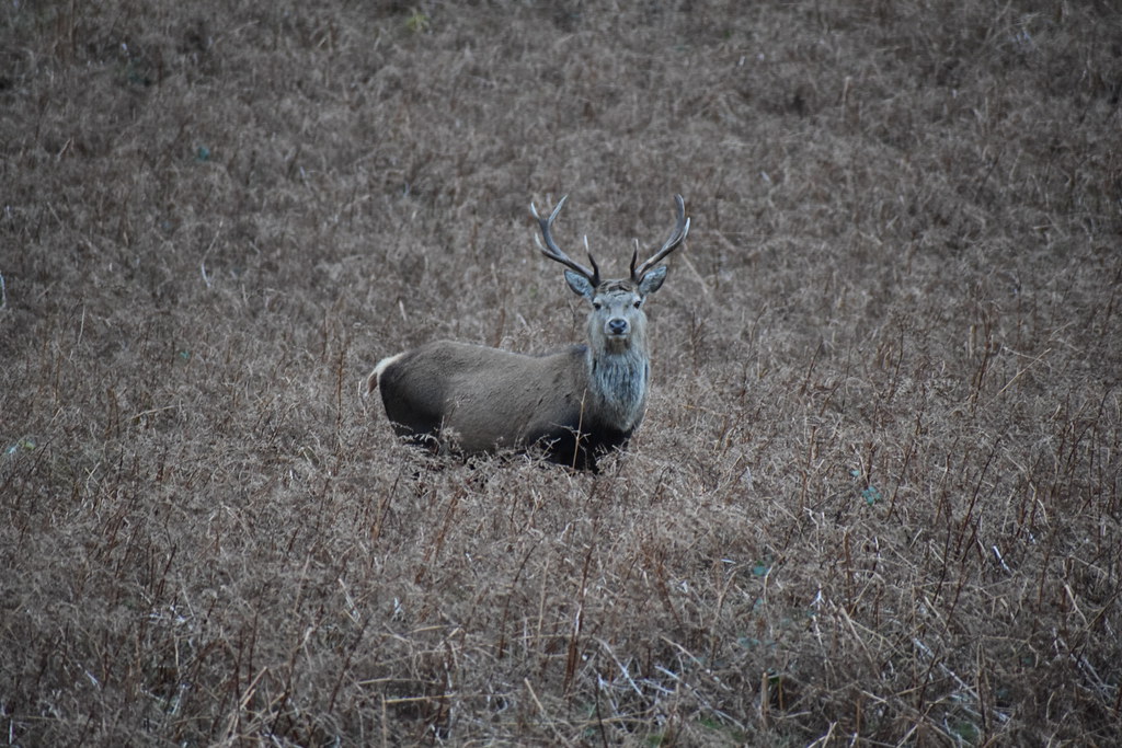
As I walk along the path I spot two well camouflaged Stags just up ahead who look ready to scarper. One does and heads towards the campsite while the other just waits to see what i'm up to:
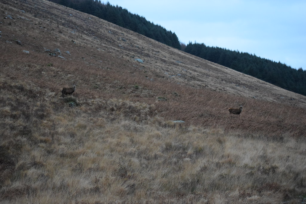 DSC_7112
 by
Chris Mac, on Flickr
I stop and crouch down to change lens and the closest stag also stalls as it wonders what I am up to, providing the perfect photo pose:
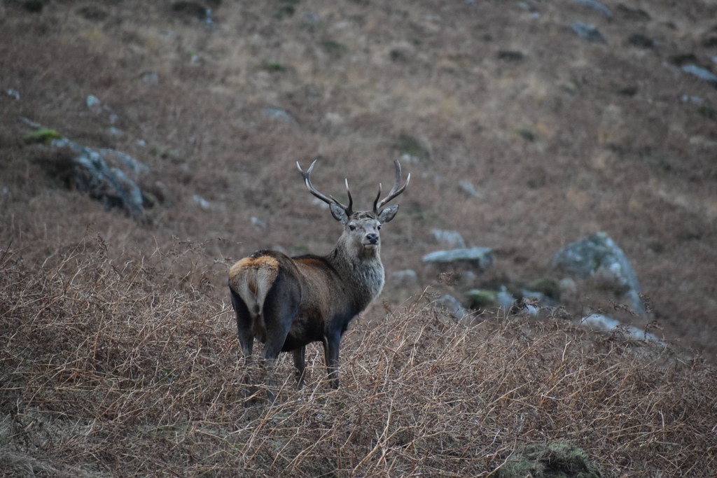 DSC_7123
 by
Chris Mac, on Flickr
Stag 1:
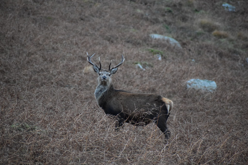 DSC_7134
 by
Chris Mac, on Flickr
 DSC_7145
 by
Chris Mac, on Flickr
Stag 2 missing an antler:
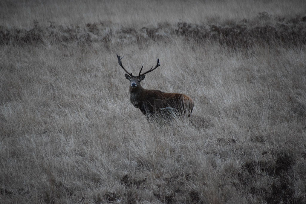 DSC_7154
 by
Chris Mac, on Flickr
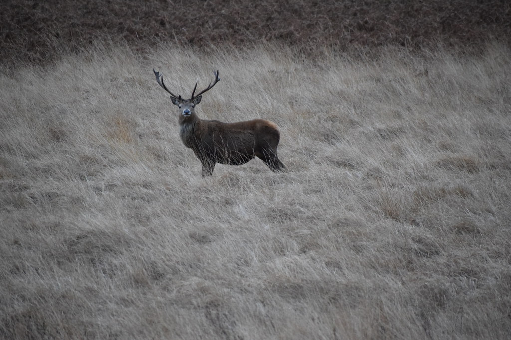 DSC_7160
 by
Chris Mac, on Flickr
Well chuffed at my close encounter, I make haste again down the path towards the trees:
 DSC_7164
 by
Chris Mac, on Flickr
 DSC_7165
 by
Chris Mac, on Flickr
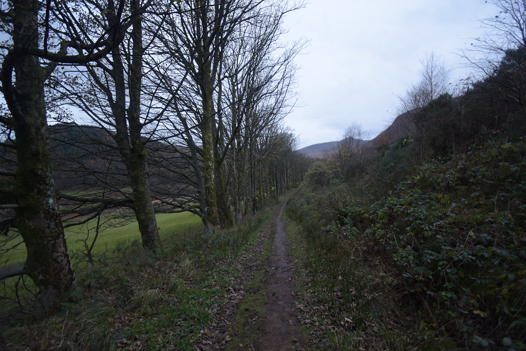
I head through the dark woods, keeping to the right:
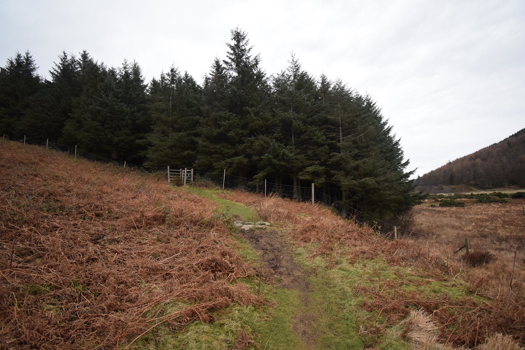 DSC_7168
 by
Chris Mac, on Flickr
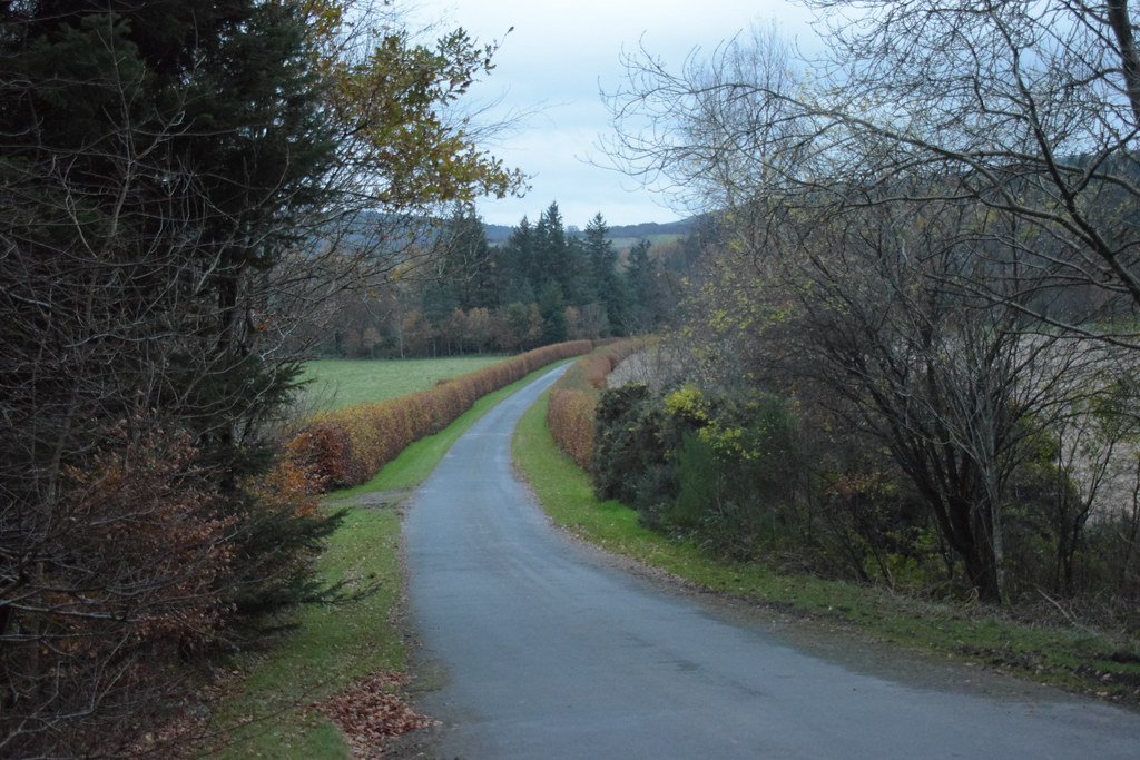
At the other side is a tree-lined avenue towards the Castle:
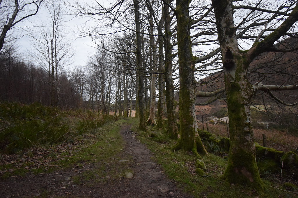 DSC_7170
 by
Chris Mac, on Flickr
Glen Rosa Campsite:
 DSC_7171
 by
Chris Mac, on Flickr
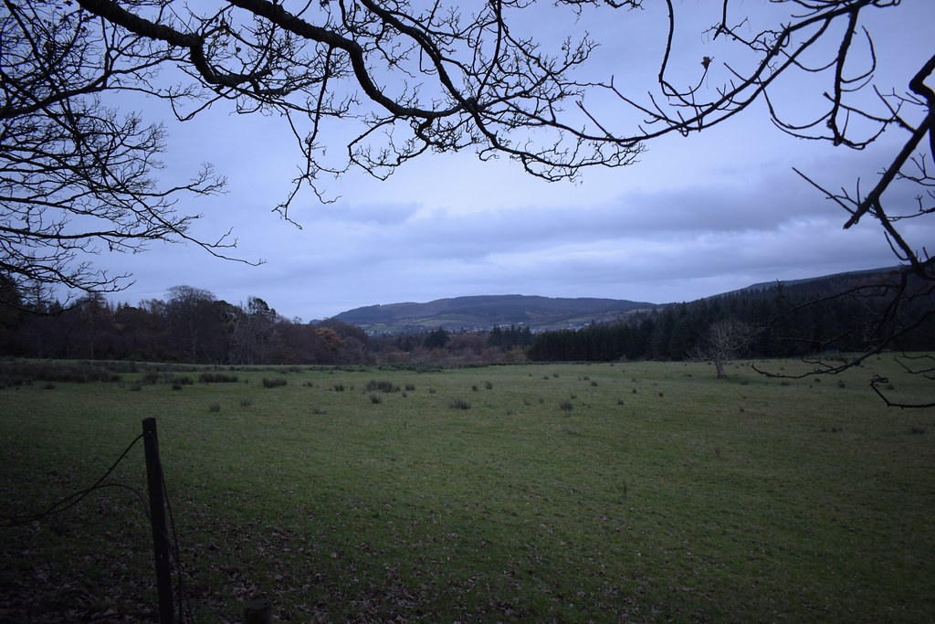
Looking back up the Glen, it's a scenic path but I prefer the clockwise route i've taken as the views ahead are better on the way round this way:
 DSC_7178
 by
Chris Mac, on Flickr
Clauchland Hills in the distance, my local sub-marilyn and another decent option for a short hill walk with very rewarding views:
 DSC_7180
 by
Chris Mac, on Flickr
Another Beware of the Bull sign, the third i've seen in the last few months, luckily no bulls have been encountered so far!
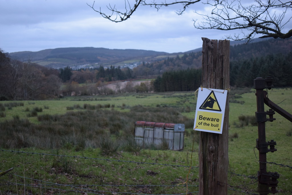 DSC_7189
 by
Chris Mac, on Flickr
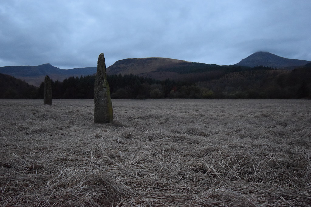
I reach the Castle drive and head down, the standing stone field is just on the right:
 DSC_7194
 by
Chris Mac, on Flickr
Not quite Machrie Moor but still good:
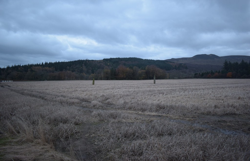 DSC_7195
 by
Chris Mac, on Flickr
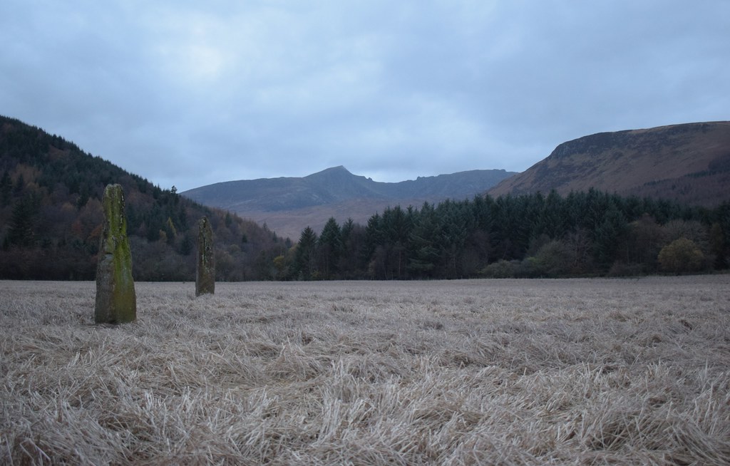 DSC_7204
 by
Chris Mac, on Flickr
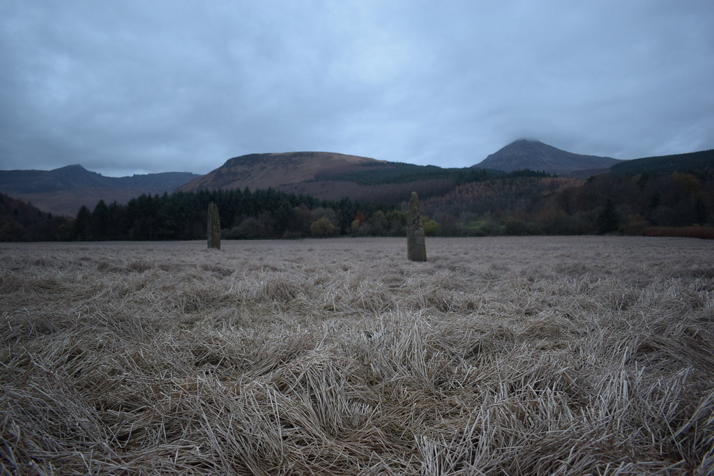 DSC_7212
 by
Chris Mac, on Flickr
The light was fading fast now but I still got some decent shots:
 DSC_7223
 by
Chris Mac, on Flickr
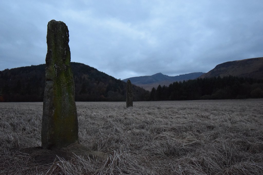 DSC_7228
 by
Chris Mac, on Flickr
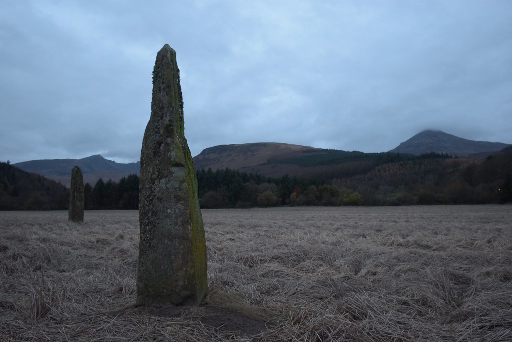 DSC_7240
 by
Chris Mac, on Flickr
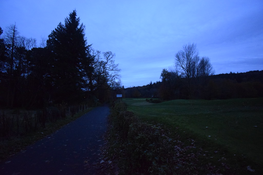
I continue on, reach the road and decide to turn left and walk towards the Dutchess Court before turning right and crossing the golf course:
 DSC_7269
 by
Chris Mac, on Flickr
 DSC_7270
 by
Chris Mac, on Flickr
Crossing Rosa Water again:
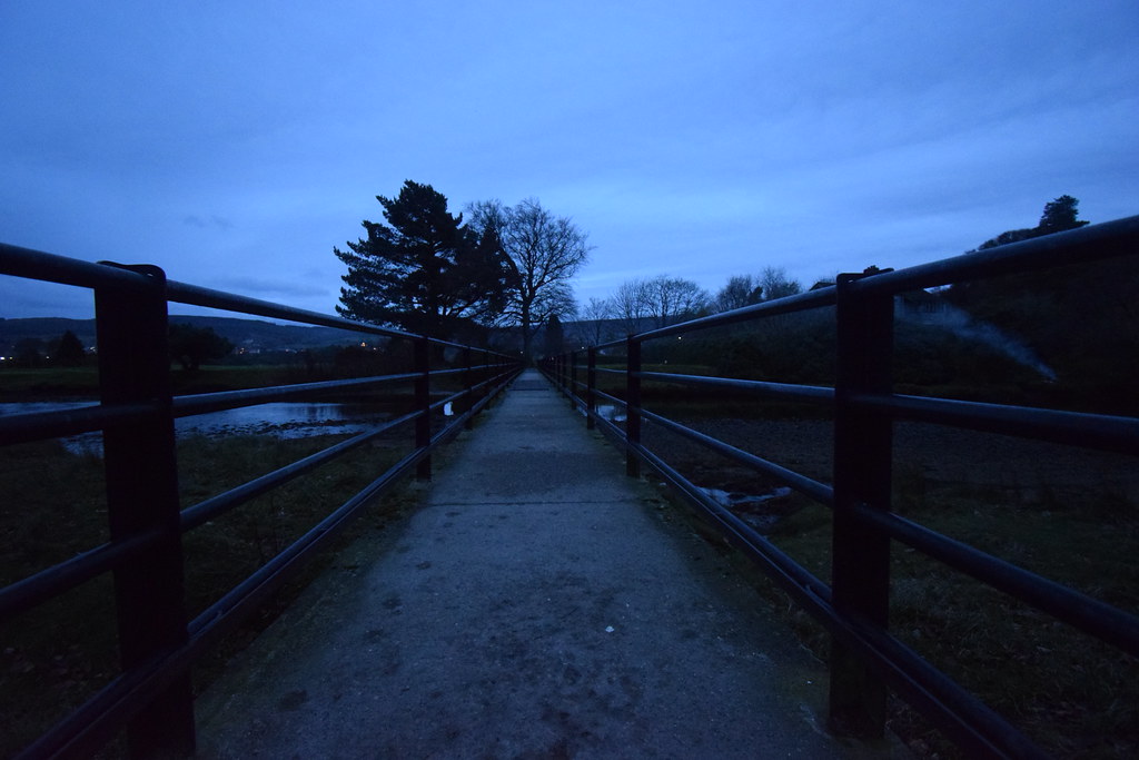 DSC_7279
 by
Chris Mac, on Flickr
Beinn Nuis back right and reflections in Rosa Water:
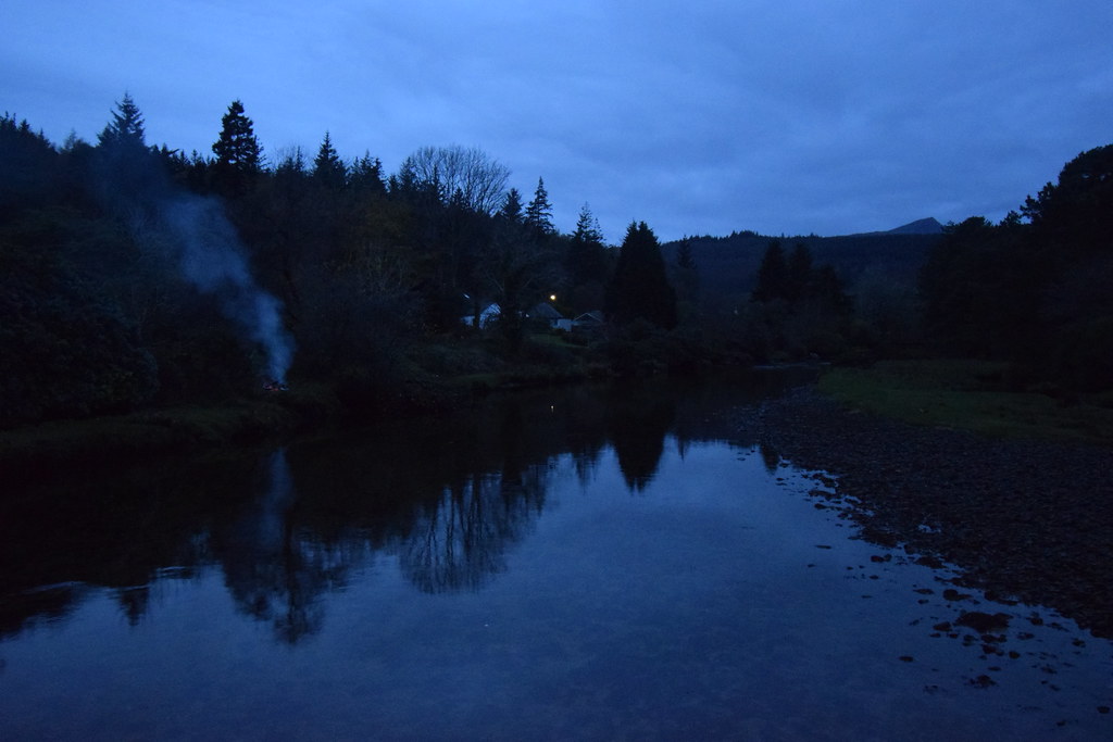 DSC_7290
 by
Chris Mac, on Flickr
Towards Brodick:
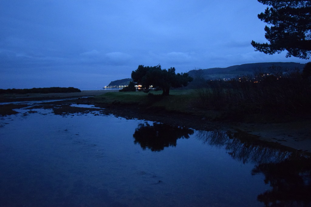 DSC_7291
 by
Chris Mac, on Flickr
I pass the Primary School, take a slight detour up Douglas Row and back home:
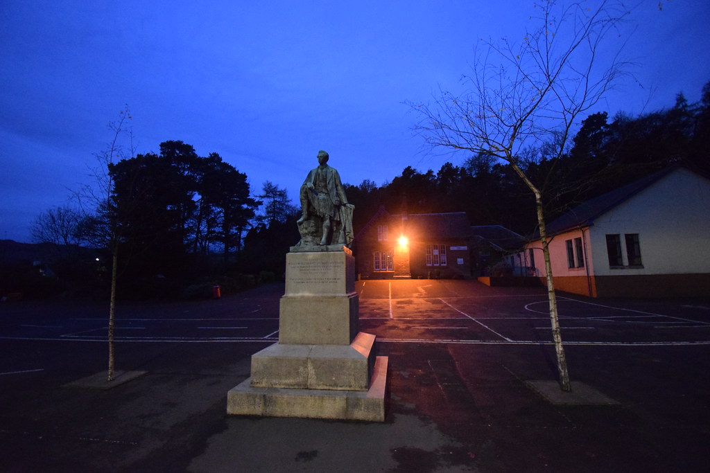 DSC_7294
 by
Chris Mac, on Flickr
10k in 3 hours with some stunning scenery to enjoy and local Stags to shoot... with the camera! A great walk if you fancy something low level in Brodick.
