
Bonny Broughton Hills (and some Donalds)
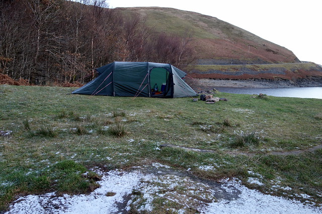
After last weekend's cold and snow, I resolved to go to the warmer south for this weekend's hills - pick off a few more of my remaining Donalds and some Marilyns. Pity no-one told the weather  We set off on Thursday afternoon to make for the Meggat, where we've wild-camped several times before, then spend the other 2 nights at Beattock Campsite. Signs up in Moffat saying the A702 was closed during the day - that posed a problem for us...hmmm. We might have to do a rethink. Anyway we drove along the side of the Meggat Reservoir with the temperature below freezing and ice across the road. Our camp spot was vacant but boy was it chilly - I had to hammer the pegs through a couple of inches of frozen ground. A night for sleeping with a hat on
Friday: Greenside Law & Black Law
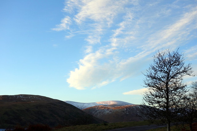
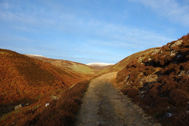
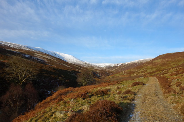
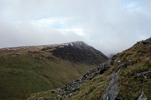
We were able to leave from the camping spot - and therefore leave the tent up with the car next to it. We started off up the track by the Cramalt Burn, meeting a man trying to operate a digger to make a drainage trench at the start of it - he was giving up as the ground was so hard. It was a beautiful day, clear pale blue sky, snow on top of the more western hills and best of all, bogs and peat hags frozen solid The track takes a gentle line up towards Notman Law - Dollar Law looking very white over to our left. Allison was well thrilled to be able to add a Donald Top to her collection From here, over frozen bog to Greenside Law, then down towards Foulbrig then Black Law by Redsike Head. The summit of Black Law is almost a kilometre away to the NE from the southern cairn - last time round we approached from Blackhouse Heights. We halted for lunch - a lot of snow on the Cheviots, by the look of things. Onwards to Deer Law and descent by Broomy Law - some nice views over the Meggat as we walked the couple of miles back along the road. It was only around 3pm when we got back to the tent - we sat outside for a bit, chatting to some walkers who were returning to their car before the cold drove us back inside for an early tea.
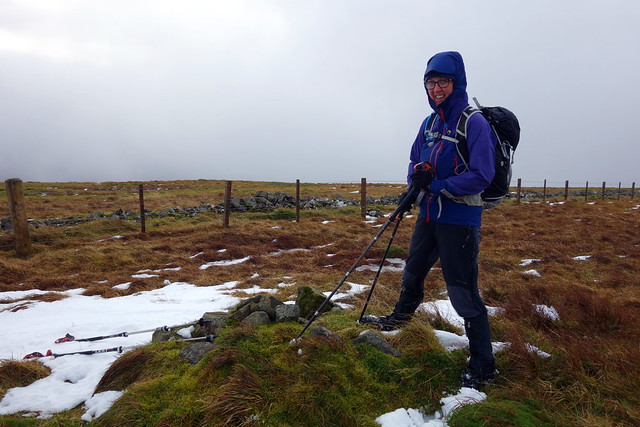
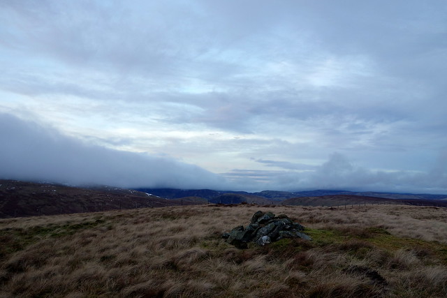
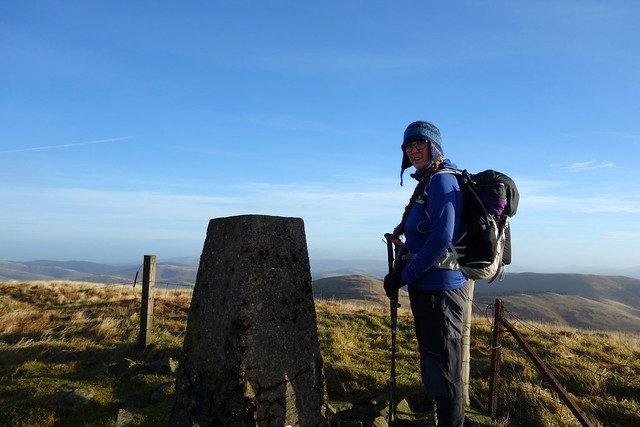
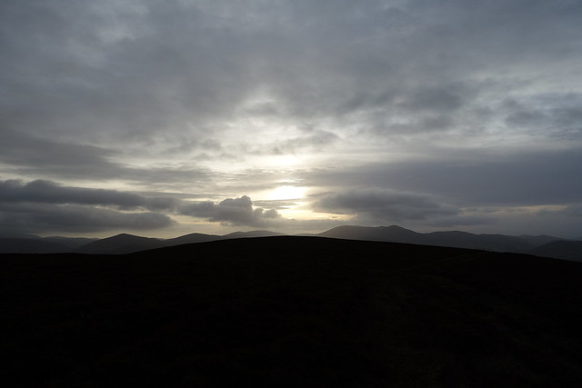
Frosty start
 DSC00091 by Al, on Flickr
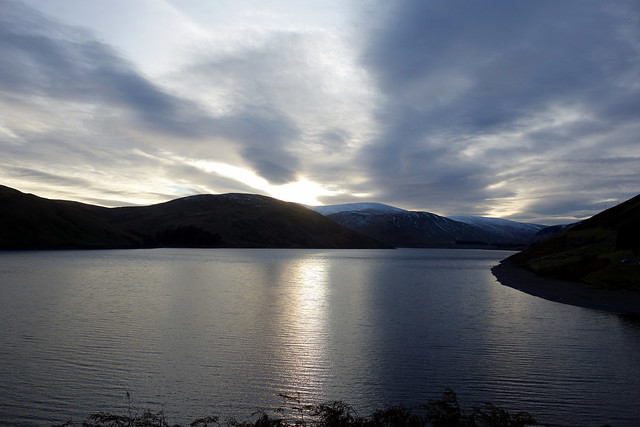
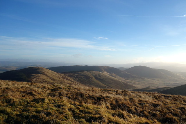
Blue Skies over Talla Linnfoots
 DSC00092 by Al, on Flickr
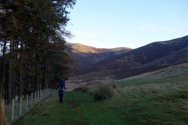
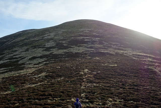
Track to Notman's Law
 DSC00093 by Al, on Flickr
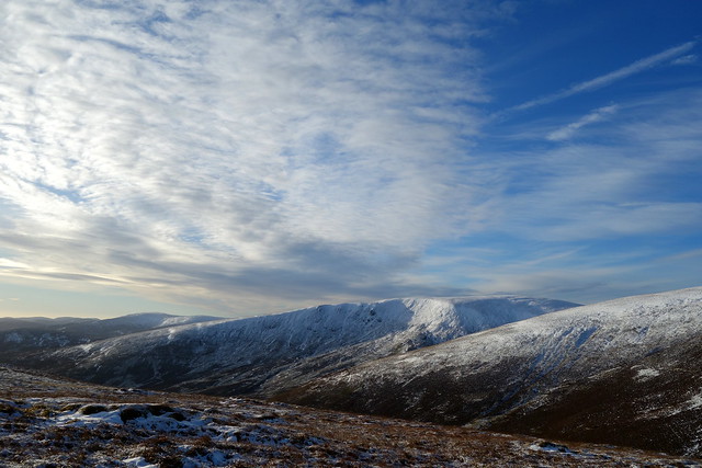
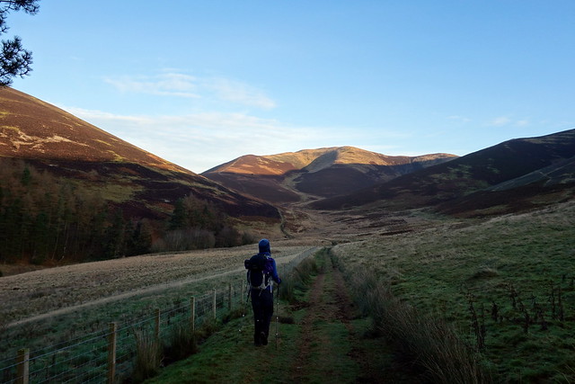
Dollar Law looking white
 DSC00094 by Al, on Flickr
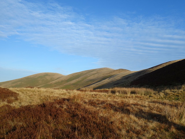
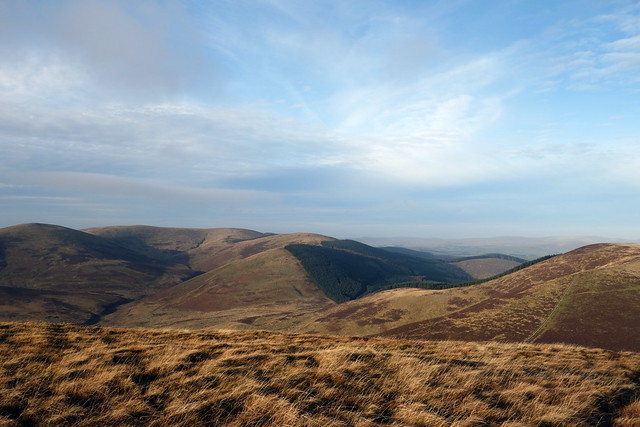
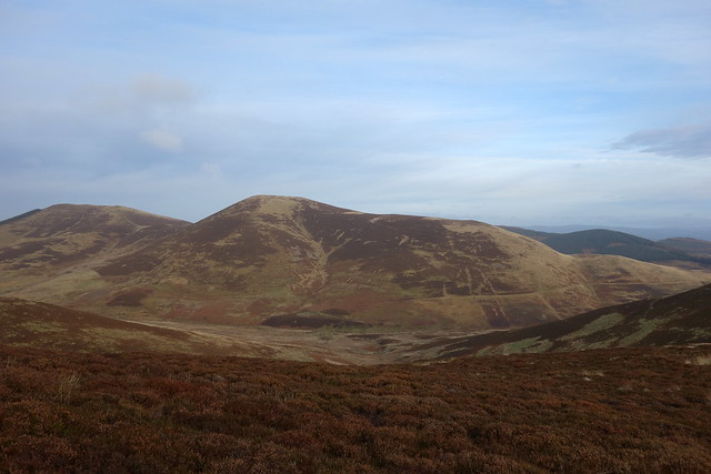
Towards Broad Cairn
 DSC00095 by Al, on Flickr
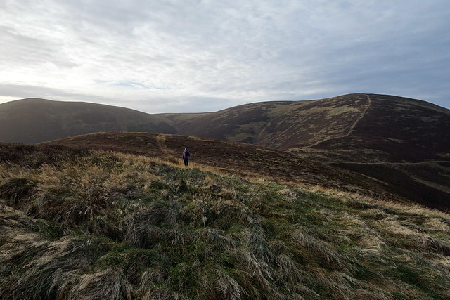
Notman's to Greenside
 DSC00097 by Al, on Flickr
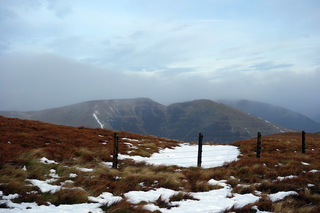
Frozen bog/hags - yay!
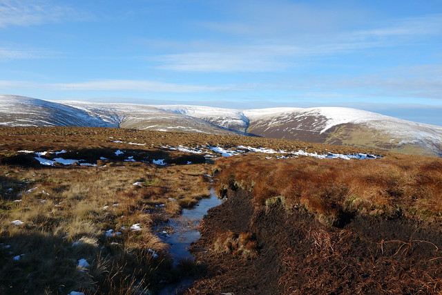 DSC00100 by Al, on Flickr
Towards Black Law
 DSC00101 by Al, on Flickr
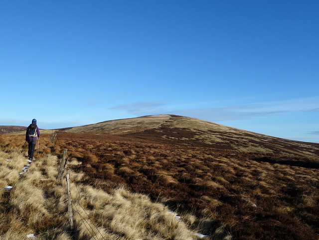
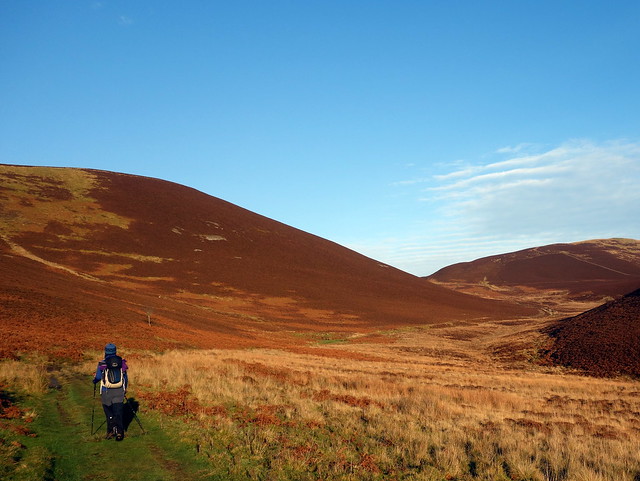
Deer Law
 DSC00105 by Al, on Flickr
Meggat reservoir
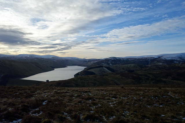 DSC00109 by Al, on Flickr
 DSC00111 by Al, on Flickr
 DSC00112 by Al, on Flickr
Relaxing...
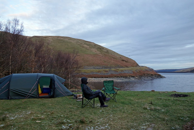 DSC00113 by Al, on Flickr
Saturday: Under Saddle Yoke/Hartfell/Swatte Fell then Watch Knowe
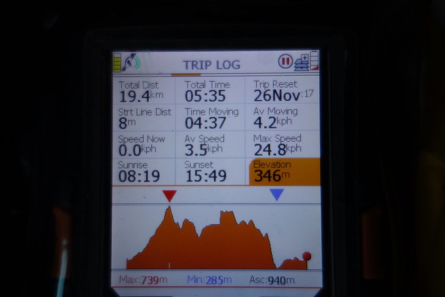
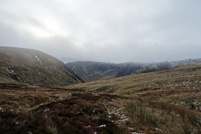
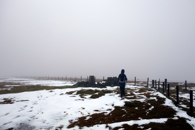
We packed up the tent and set off to Capelgill Farm to undertake the Hartfell Circuit. Cloud was sitting along the tops of the hills and it was a poorer day than Friday, some thawing had taken place, with the car thermometer saying 5 degrees. I was hoping the bogs would remain frozen, remembering how soggy it gets in the central part of this circuit. Steep, steady ascent up Peat Hill then Under Saddle Yoke, patches of snow and ice to be negotiated. The crags over on our left looked far more formidable than one expects from Donalds - brooding and impressive. We reached the twin tops of Yoke before setting off into clag. Last time we did this circuit (clockwise) we included White Coomb, which must add almost 5 miles to the route. Not today! We found an ATV track with a set of footprints in the snow patches that headed north from Redgill Crags towards Hartfell Rig and which led us easily to the rather barren summit of Hartfell.
Under Saddle Yoke
 DSC00117 by Al, on Flickr
 DSC00119 by Al, on Flickr
 DSC00120 by Al, on Flickr
 DSC00124 by Al, on Flickr
Towards Hartfell Rig
 DSC00126 by Al, on Flickr
Hartfell
 DSC00127 by Al, on Flickr
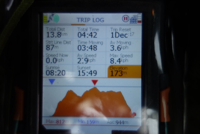
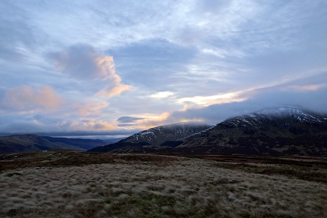
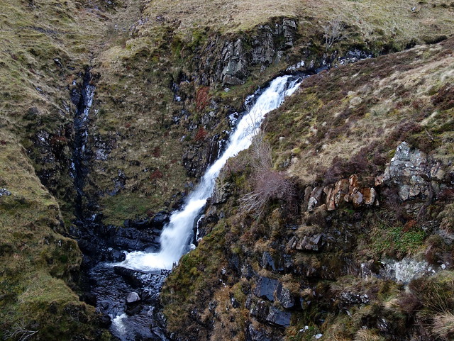
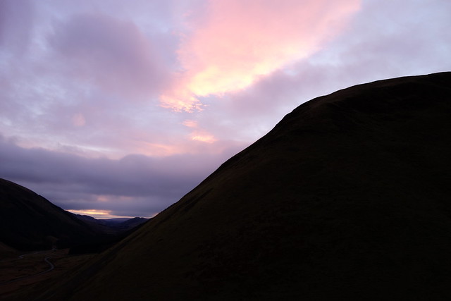
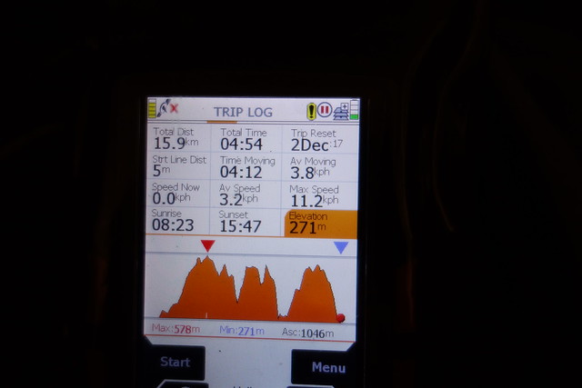
We sat and had lunch and were joined by a family of 4 who had presumably come up from the west as they were heading towards Whitehope Knowe. Our route took us down the fenceline to Falcon Crag, then a deviation to the summit of Swatte Fell before dropping down along the Hang Burn and back to the farm - very steep at the last section. It was only 2.15pm and plenty time left to nip along to the Grey Mare's Tail car park and pick up Watch Knowe, my penultimate Simm in this area. The route was up the recently repaired track to Loch Skeen, where we met Stephen Kerr, fresh from Overphawhope Bothy. Near the loch we left the track and headed over Bran Law to the summit of Watch Knowe - a fine viewpoint. Some delicate pinky clouds over the hills as we descended, water gushing down the Mare's Tail. Decided against heading to Beattock campsite for one night - instead drove back along to the Meggat, hoping that out previous pitch would be free. And free it was - but only just - we'd no sooner parked the car and got the tent out to pitch when a camper van drove down, saw us and did an about-turn.
Swatte Fell
 DSC00130 by Al, on Flickr
Under Saddle Yoke
 DSC00131 by Al, on Flickr
 DSC00134 by Al, on Flickr
Watch Knowe
 DSC00135 by Al, on Flickr
Grey Mare's Tail
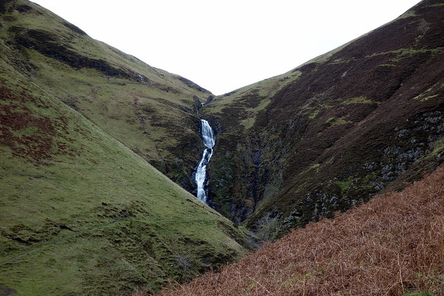 DSC00136 by Al, on Flickr
Watch Knowe
 DSC00139 by Al, on Flickr
 DSC00140 by Al, on Flickr
 DSC00142 by Al, on Flickr
 DSC00143 by Al, on Flickr
 DSC00144 by Al, on Flickr
 DSC00146 by Al, on Flickr
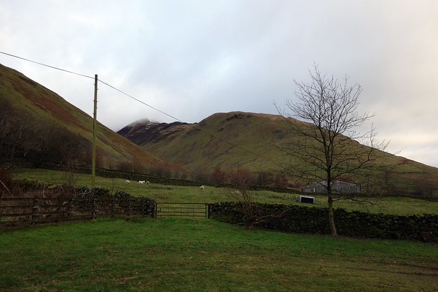
Sunday - Broughton Heights Circuit
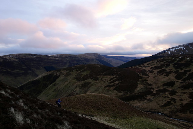
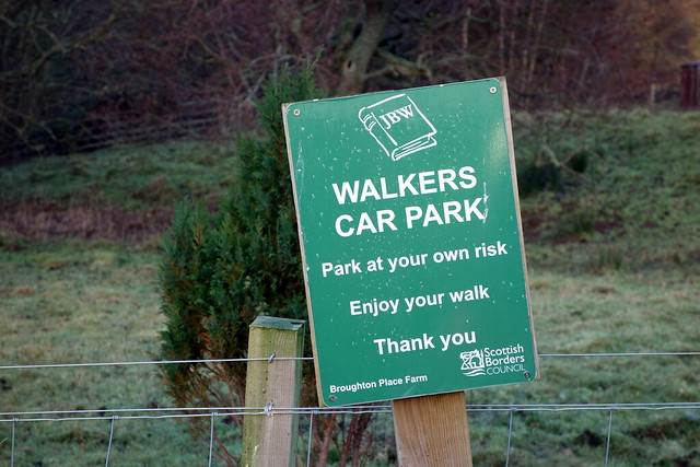
A chance to incorporate 3 Marilyns into one loop, not to be sniffed at. I'd been in the area quite recently climbing the Drumelzier Hills- this group sits just to the north of them. We parked up at Broughton Place where there's a walkers' car parking area past the rather impressive tower house of the farm. Another splendid day with blue skies, much milder than the last few days. I'd cribbed a route from Rob Munbett and we set off clockwise along an increasingly muddy track, past Clover Law on our left. There are a couple of fine seats commemorating Professor & Mrs Elliot who had the farm build in the Arts & Crafts style by Basil Spence in the pre-WW2 years. After some time the line of Broughton Heights came into view - with a cluster of folk around the cairn in the far distance. I suspected they may be pagans carrying out some arcane Tweedale sun worship, but it transpired that they were walkers, a whole 2 dozen of them.
 DSC00147 by Al, on Flickr
View South
 DSC00149 by Al, on Flickr
 DSC00150 by Al, on Flickr
 DSC00151 by Al, on Flickr
Past Clover Law
 DSC00152 by Al, on Flickr
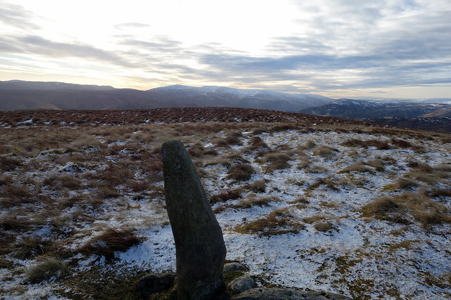
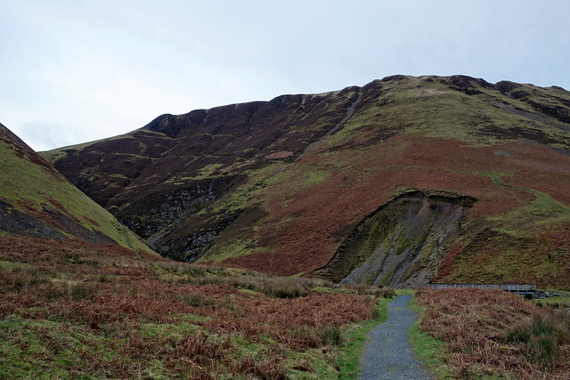
Broughton Heights
 DSC00153 by Al, on Flickr
 DSC00154 by Al, on Flickr
The ascent to the cairn was over short grass and easy going. We caught up with some of the stragglers during the descent to Brown Dodd and overtook the rest on Flint Hill, where they'd stopped for an early lunch, to the chagrin of one of the older walkers in the party whom we heard grumble "are we having another stop?" We dropped down then up steeply to Ladyurd Hill where we found a sheltered spot for lunch ourselves. Down again then up - in true Donalds fashion to our second Marilyn of the day, Penvalla. We deviated from the route by heading straight off Mid Hill and making for an ATV track that ascended the shoulder of Trahenna, by way of Hog Knowe. This was a more gradual ascent for tired legs. Up to the summit, good views back over the circuit then back down to the car.
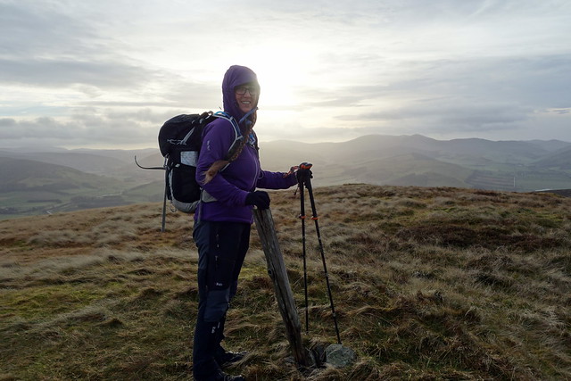
Towards Penvalla
 DSC00155 by Al, on Flickr
Penvalla
 DSC00157 by Al, on Flickr
The way we've come
 DSC00158 by Al, on Flickr
Pano of the circuit from Broughton to Penvalla
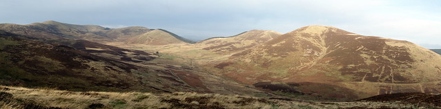 DSC00161 by Al, on Flickr
Towards Trahenna
 DSC00162 by Al, on Flickr
Penvalla
 DSC00163 by Al, on Flickr
Trahenna
 DSC00165 by Al, on Flickr
 DSC00167 by Al, on Flickr
 DSC00168 by Al, on Flickr
Friday: Greenside Law & Black Law
We were able to leave from the camping spot - and therefore leave the tent up with the car next to it. We started off up the track by the Cramalt Burn, meeting a man trying to operate a digger to make a drainage trench at the start of it - he was giving up as the ground was so hard. It was a beautiful day, clear pale blue sky, snow on top of the more western hills and best of all, bogs and peat hags frozen solid
Frosty start
DSC00091 by Al, on FlickrBlue Skies over Talla Linnfoots
DSC00092 by Al, on FlickrTrack to Notman's Law
DSC00093 by Al, on FlickrDollar Law looking white
DSC00094 by Al, on FlickrTowards Broad Cairn
DSC00095 by Al, on FlickrNotman's to Greenside
DSC00097 by Al, on FlickrFrozen bog/hags - yay!
DSC00100 by Al, on FlickrTowards Black Law
DSC00101 by Al, on FlickrDeer Law
DSC00105 by Al, on FlickrMeggat reservoir
DSC00109 by Al, on FlickrDSC00111 by Al, on FlickrDSC00112 by Al, on FlickrRelaxing...
DSC00113 by Al, on FlickrSaturday: Under Saddle Yoke/Hartfell/Swatte Fell then Watch Knowe
We packed up the tent and set off to Capelgill Farm to undertake the Hartfell Circuit. Cloud was sitting along the tops of the hills and it was a poorer day than Friday, some thawing had taken place, with the car thermometer saying 5 degrees. I was hoping the bogs would remain frozen, remembering how soggy it gets in the central part of this circuit. Steep, steady ascent up Peat Hill then Under Saddle Yoke, patches of snow and ice to be negotiated. The crags over on our left looked far more formidable than one expects from Donalds - brooding and impressive. We reached the twin tops of Yoke before setting off into clag. Last time we did this circuit (clockwise) we included White Coomb, which must add almost 5 miles to the route. Not today! We found an ATV track with a set of footprints in the snow patches that headed north from Redgill Crags towards Hartfell Rig and which led us easily to the rather barren summit of Hartfell.
Under Saddle Yoke
DSC00117 by Al, on FlickrDSC00119 by Al, on FlickrDSC00120 by Al, on FlickrDSC00124 by Al, on FlickrTowards Hartfell Rig
DSC00126 by Al, on FlickrHartfell
DSC00127 by Al, on FlickrWe sat and had lunch and were joined by a family of 4 who had presumably come up from the west as they were heading towards Whitehope Knowe. Our route took us down the fenceline to Falcon Crag, then a deviation to the summit of Swatte Fell before dropping down along the Hang Burn and back to the farm - very steep at the last section. It was only 2.15pm and plenty time left to nip along to the Grey Mare's Tail car park and pick up Watch Knowe, my penultimate Simm in this area. The route was up the recently repaired track to Loch Skeen, where we met Stephen Kerr, fresh from Overphawhope Bothy. Near the loch we left the track and headed over Bran Law to the summit of Watch Knowe - a fine viewpoint. Some delicate pinky clouds over the hills as we descended, water gushing down the Mare's Tail. Decided against heading to Beattock campsite for one night - instead drove back along to the Meggat, hoping that out previous pitch would be free. And free it was - but only just - we'd no sooner parked the car and got the tent out to pitch when a camper van drove down, saw us and did an about-turn.
Swatte Fell
DSC00130 by Al, on FlickrUnder Saddle Yoke
DSC00131 by Al, on FlickrDSC00134 by Al, on FlickrWatch Knowe
DSC00135 by Al, on FlickrGrey Mare's Tail
DSC00136 by Al, on FlickrWatch Knowe
DSC00139 by Al, on FlickrDSC00140 by Al, on FlickrDSC00142 by Al, on FlickrDSC00143 by Al, on FlickrDSC00144 by Al, on FlickrDSC00146 by Al, on FlickrSunday - Broughton Heights Circuit
A chance to incorporate 3 Marilyns into one loop, not to be sniffed at. I'd been in the area quite recently climbing the Drumelzier Hills- this group sits just to the north of them. We parked up at Broughton Place where there's a walkers' car parking area past the rather impressive tower house of the farm. Another splendid day with blue skies, much milder than the last few days. I'd cribbed a route from Rob Munbett and we set off clockwise along an increasingly muddy track, past Clover Law on our left. There are a couple of fine seats commemorating Professor & Mrs Elliot who had the farm build in the Arts & Crafts style by Basil Spence in the pre-WW2 years. After some time the line of Broughton Heights came into view - with a cluster of folk around the cairn in the far distance. I suspected they may be pagans carrying out some arcane Tweedale sun worship, but it transpired that they were walkers, a whole 2 dozen of them.
DSC00147 by Al, on FlickrView South
DSC00149 by Al, on FlickrDSC00150 by Al, on FlickrDSC00151 by Al, on FlickrPast Clover Law
DSC00152 by Al, on FlickrBroughton Heights
DSC00153 by Al, on FlickrDSC00154 by Al, on FlickrThe ascent to the cairn was over short grass and easy going. We caught up with some of the stragglers during the descent to Brown Dodd and overtook the rest on Flint Hill, where they'd stopped for an early lunch, to the chagrin of one of the older walkers in the party whom we heard grumble "are we having another stop?" We dropped down then up steeply to Ladyurd Hill where we found a sheltered spot for lunch ourselves. Down again then up - in true Donalds fashion to our second Marilyn of the day, Penvalla. We deviated from the route by heading straight off Mid Hill and making for an ATV track that ascended the shoulder of Trahenna, by way of Hog Knowe. This was a more gradual ascent for tired legs. Up to the summit, good views back over the circuit then back down to the car.
Towards Penvalla
DSC00155 by Al, on FlickrPenvalla
DSC00157 by Al, on FlickrThe way we've come
DSC00158 by Al, on FlickrPano of the circuit from Broughton to Penvalla
DSC00161 by Al, on FlickrTowards Trahenna
DSC00162 by Al, on FlickrPenvalla
DSC00163 by Al, on FlickrTrahenna
DSC00165 by Al, on FlickrDSC00167 by Al, on FlickrDSC00168 by Al, on Flickr