free to be able to rate and comment on reports (as well as access 1:25000 mapping).
Map: OS 1:50,000 no. 78.
Attendees: Me, Big Dog, Small Dog.
Time Taken: 2hr 15 mins.
Had the morning to myself and quick look at the map suggested these two hills could be completed by lunchtime, including the journey to and from Edinburgh.
Green HillDistance: 3.5k. Ascent: 218m Time: 1 hr.
Start point today was Wanlockhead, reputedly Scotland’s highest village. The drive there took me through the deep-cut valleys of Nithsdale. The mining history of this area is well-known -lead, tin, even gold- and the remnants of times past are still visible. Sealed mineshafts and red-brick ruins pepper the landscape.
I park the car at the Mining Museum. The whitewashed houses on the main street sprawl in the early sun. Battleship grey cloud is shuffling this way from the east. It’s 11a.m midweek and there’s nobody about. The Museum’s closed. So is the adjacent shop, and the nearby public toilets. There’s a slow, whirring, metallic noise in the distance somewhere.
Much of these closures are seasonal I guess. In winter there won’t be much passing traffic. The rest of the year? Perhaps there is but I don’t get that impression. An air of melancholy, of better days, hangs over the place.
A narrow track at the south end of the village leads down to a square car park. It’s empty aside from a caravan and small car. Both look as if they’ve been there for a while. I access an ATV at the rear and walk steeply up the northeast slopes of Black Hill. It’s a short climb. Within 20 minutes I’m standing beside a rusting pole at the top. I arrive just as the cloud does. I catch a glimpse of that curious combination that is Stood Hill-Green Hill to the west. They’re then swallowed up by mist.
Wanlockhead Village from Black Hill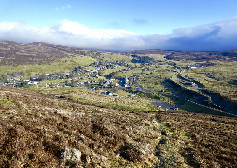 fullsizeoutput_346f
 by
Neil Mackay, on Flickr
Green Hill - Stood Hill from top of Black Hill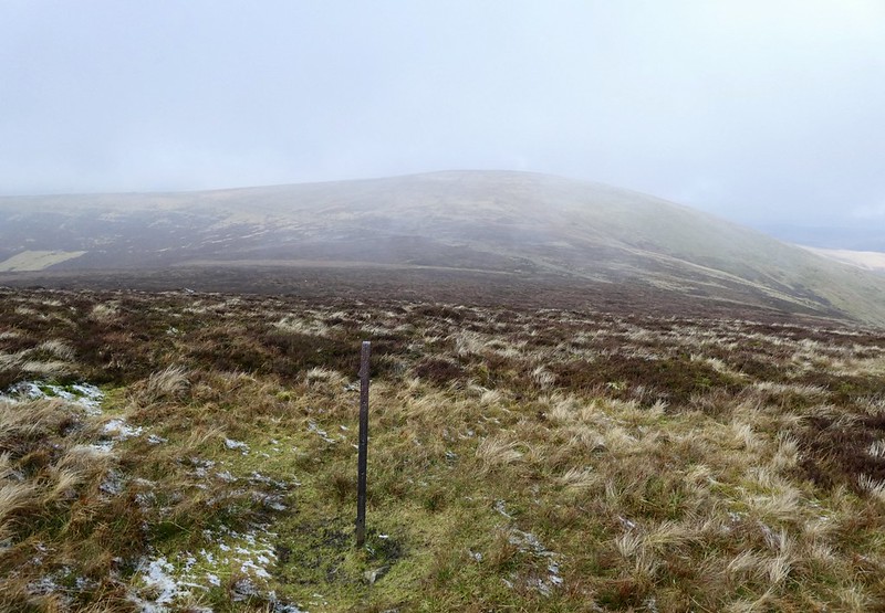 fullsizeoutput_3470
 by
Neil Mackay, on Flickr
A good track with a hard surface runs that way. After 1k or so, an ATV track branches off to the right. It goes all the way to Green Hill’s summit. Just shy of the junction, a lady shepherd appears on an ATV. She’s wearing an antiquated helmet and large goggles. Three black and white Collies are squeezed on to the back of her vehicle. I have a flash image of her in a motorcycle display show.
We chat for a while. She has a florid complexion and is one of these impossibly cheerful people you meet in the farming world occasionally. Her cheeriness is infectious. Our respective dogs have been eying each other warily. Even they get caught up in the bonhomie – tails are wagged, playful paws exchanged.
She zips off westwards towards Willowgrain Hill and I continue. I wander about the top of Green Hill for several minutes. So far as I can tell, the highest point is beside another rusting pole. I take a fairly pointless photograph and then consider options for the return route. A smattering of sleet makes up my mind – back the same way.
Summit area of Green Hill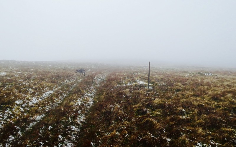 fullsizeoutput_3471
 by
Neil Mackay, on Flickr
Hods HillDistance: 7k. Ascent: 227m. Time: 1hr 15m.
Don’t intend to spend a lot of time on the description of this walk. I shamelessly pinched it from PeteR’s December 2016 trip report which is publicly available.
Same start/finish point at Daer Reservoir. Off to the south and west were several Donalds I’d rattled round in 2015. It was an enjoyable yomp along the dam wall, through the Hydro complex and then on to the Southern Upland Way. There were several stiles to negotiate. Cold, snow and limited visibility at the summit – a barren, unremarkable piece of ground near a 3-way junction of fences.
Returned the same way.
Start/finish point for Hods Hill 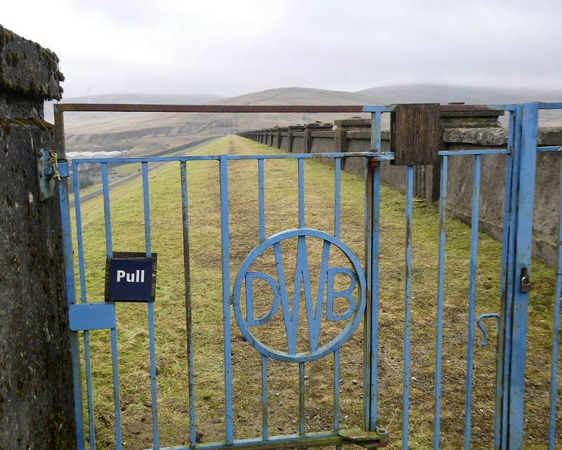 fullsizeoutput_3477
 by
Neil Mackay, on Flickr
One of several stiles on route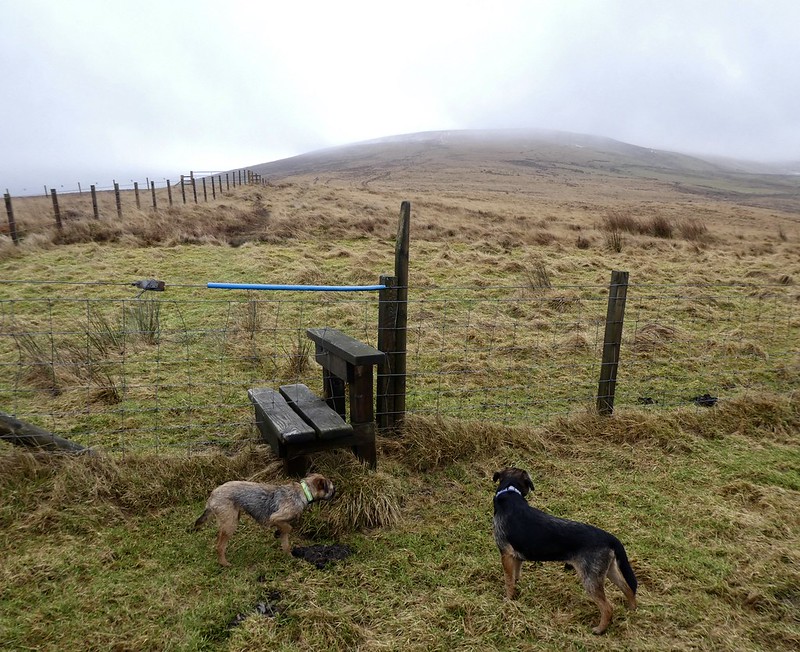 fullsizeoutput_3473
 by
Neil Mackay, on Flickr
Summit area - Hods Hill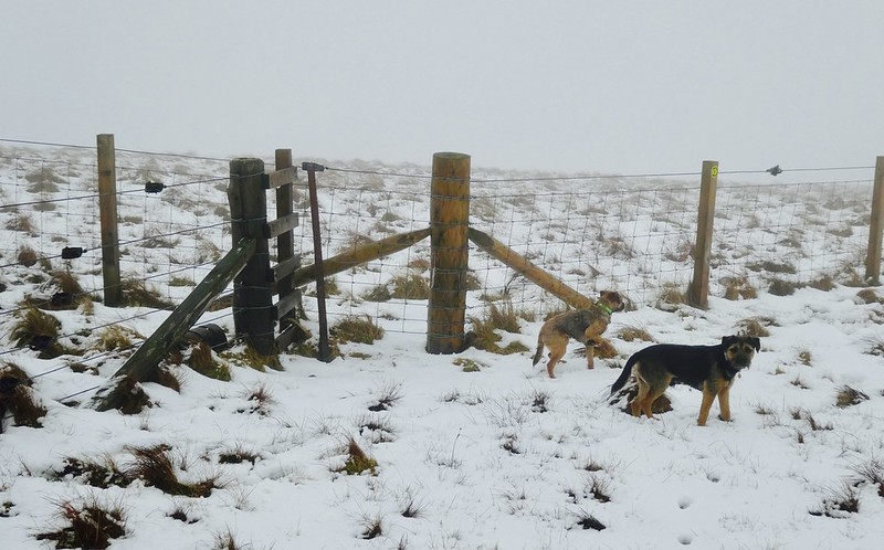 fullsizeoutput_3474
 by
Neil Mackay, on Flickr
Pictorial idea of route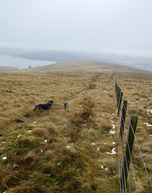 fullsizeoutput_3475
 by
Neil Mackay, on Flickr
Daer Reservoir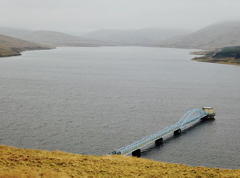 fullsizeoutput_3476
 by
Neil Mackay, on Flickr
