free to be able to rate and comment on reports (as well as access 1:25000 mapping).
A short weekend, as we had other things to do on Xmas Eve. Drove up to Woods Caravan park at Alva on Thursday afternoon. Had targetted a circuit of the Lomond Hills over by Glenrothes for Friday, with a quick couple of stand alone hills nearer the campsite for Saturday.
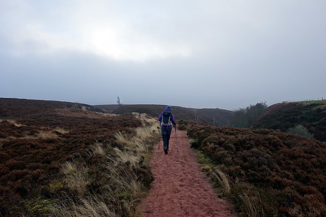
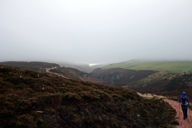
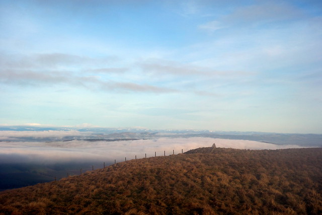
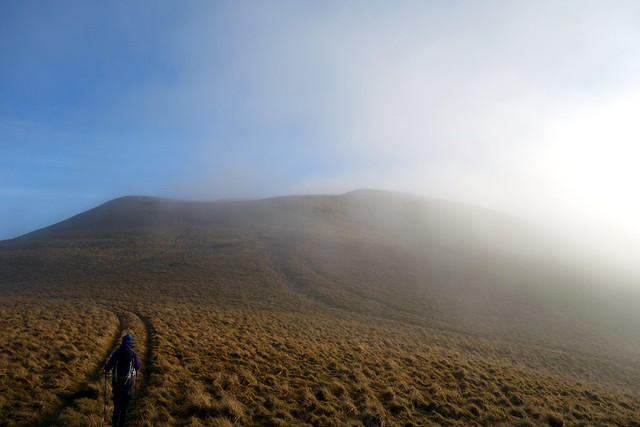
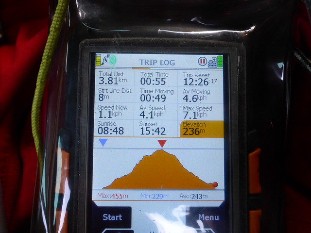
After some difficulty in finding the right road to take down to the parking area we set off along Glen Vale, good track of sandy red clay. After a bit of walking, headed up West Lomond directly, a faint path just after the fence ends. Bit of cloud inversion going on as we rose towards the summit. Easy track to follow from the top towards the distant top of East Lomond, still hidden under a cushion of cloud. Busy wee car park on the way. Another track to take, several fox moth caterpillars marching up the short grass in the middle of the path. Up to the viewpoint, then weirdly, down to the trig.
 DSC00297
 by
Al, on Flickr
 DSC00298
 by
Al, on Flickr
 DSC00301
 by
Al, on Flickr
West Lomond
 DSC00303
 by
Al, on Flickr
 DSC00304
 by
Al, on Flickr
 DSC00307
 by
Al, on Flickr
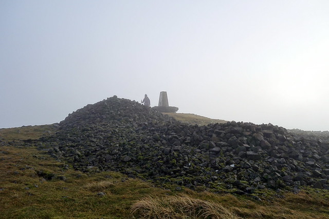
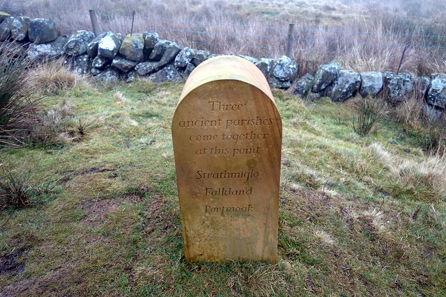
East Lomond
 DSC00309
 by
Al, on Flickr
 DSC00310
 by
Al, on Flickr
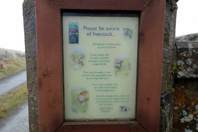
Retraced our steps to the car park then continued south along the road and took the path on our right leading to Little Ballo Farm. Muddy in places, sheep and cows around. Don't stare at bulls warns the notice. Seems good advice. Path dwindles a little, we aim for a gate after Harperleas Reservoir and turn south towards Bishop Hill. I'd expected no trail to follow, but there is a track of sorts - we can't see Bishop Hill in the mist. Make it to the top, I take the wrong line from the summit and note that we're heading further south...oops. Follow the scarp edge down towards Glen Vale and out outward path. A nice circuit this one.
 DSC00311
 by
Al, on Flickr
 DSC00312
 by
Al, on Flickr
Bishop Hill
 DSC00314
 by
Al, on Flickr
 DSC00315
 by
Al, on Flickr
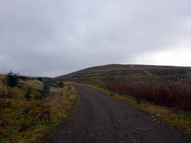
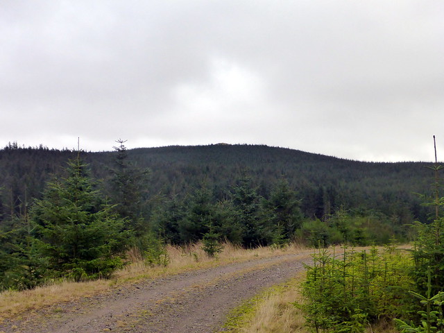
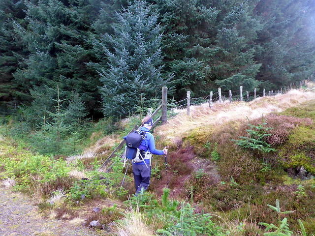
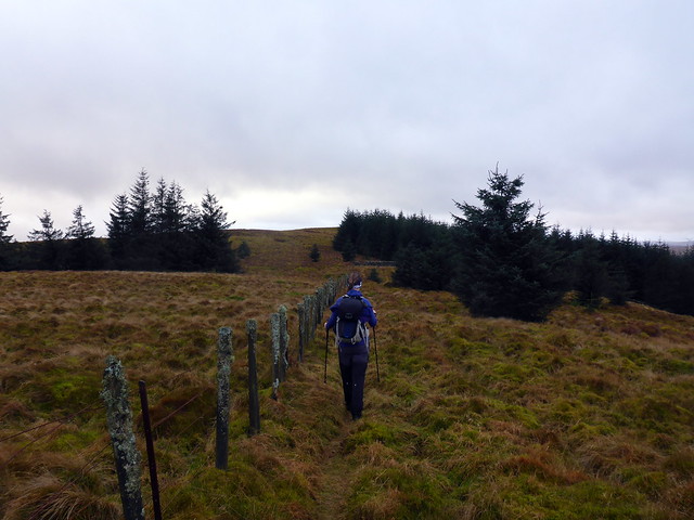
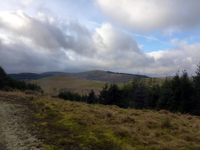
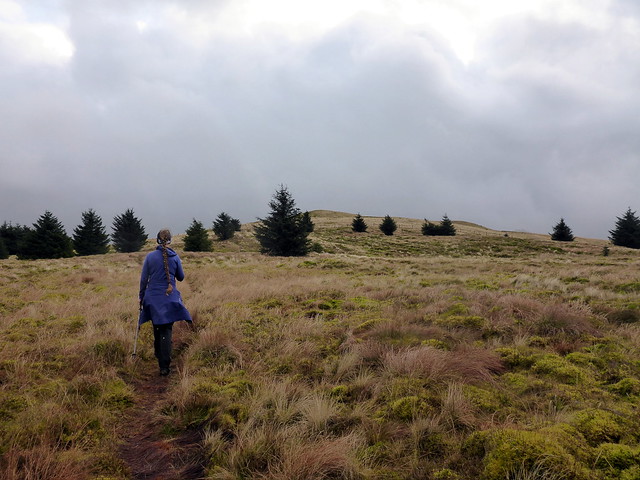
Quite a mild night after recent cold weekends. We pack up with an almost dry tent (great what a bit of a breeze can do) and drive up to Yetts o' Muckart and the B road up towards Dunning. Innerdouny Hill is up first - a parking area at the start and forestry track most of the way up. Nearing the top we head along the fence line towards the summit. Retrace our steps on the way down.
 P1180371
 by
Al, on Flickr
You can just see the summit above the trees
 P1180372
 by
Al, on Flickr
Follow the fenceline
 P1180373
 by
Al, on Flickr
 P1180374
 by
Al, on Flickr
 P1180376
 by
Al, on Flickr
 P1180377
 by
Al, on Flickr
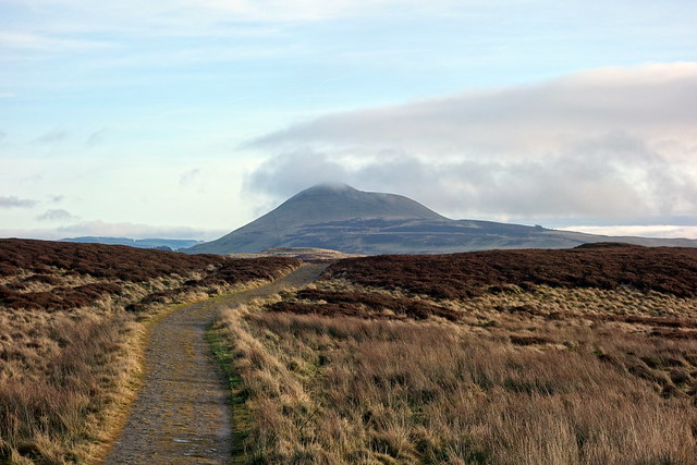
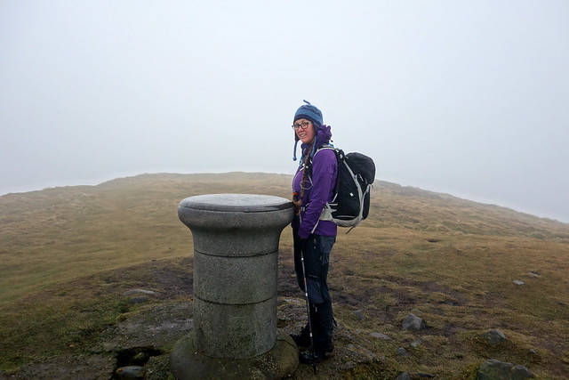
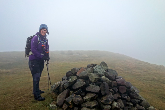
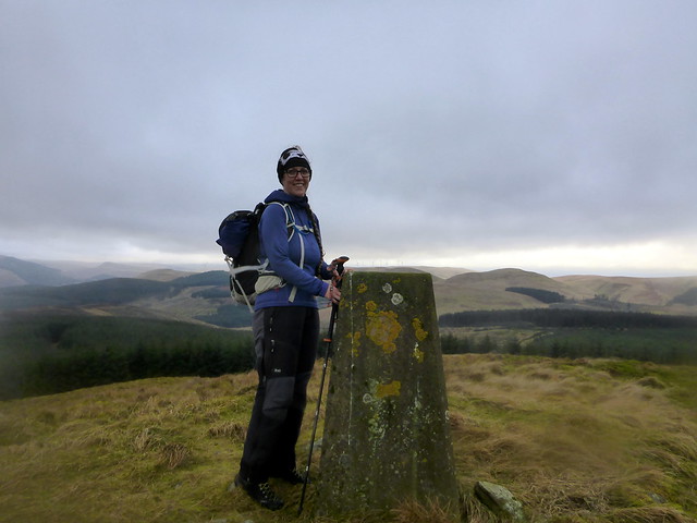
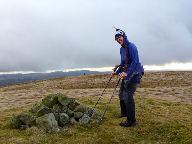
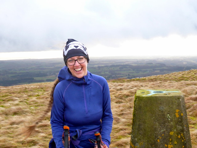
Drive couple of miles back down the road and park at the start of Lendrick Hill - again a parking area. Another forestry track, then turn uphill at a large cairn through a firebreak - bit slippy underfoot, then open ground to the summit cairn. Very windy indeed. We thought this was Allison's 100th Sub, but after she got home she realized this had actually been on Innerdouny Hill.

You can tell how committed she is to Marilyn bagging

Innerdownie (Donald) across the valley
 P1180378
 by
Al, on Flickr
Up the firebreak
 P1180379
 by
Al, on Flickr
 P1180381
 by
Al, on Flickr
 P1180382
 by
Al, on Flickr
What we thought was her 100th Sub
 P1180384
 by
Al, on Flickr
 P1180385
 by
Al, on Flickr
