free to be able to rate and comment on reports (as well as access 1:25000 mapping).
After spending the weekend in the Lomond Hills doing NNAS training & assessment, I was glad to be getting back to a little training for the year. To this end I though I would explore Menstrie Glen and then ascend Dumyat from the north. With a reasonably fresh coating of snow on the ground I was pretty sure it was going to be a good workout for my legs & lungs. I also thought it would be a good opportunity to get a little bit of winter photography done.
The weather forecast was not bad, light rain & winds with the temperature ranging from 2-6 degrees.
The usual entry point for Menstrie Glen is near the scout hall in Menstrie village, I though this would as good a start point as any. I was there and parked by 11:55, gear on & out the car by 12:05.
Walking over the bridge next to the scout hall you soon find the hill entry point on your right hand side, a set of wide deep steps take you up to the gate the lets you onto the hill proper. Now this initial section is quite steep, but I didn't think it would be a problem, how wrong I was... mud, ice, hard compacted snow & seriously overgrown gorse bushes made it quite treacherous, I had to thread my way up the slope carefully, even the Gore-Tex gloves were no match for the gorse.
Once through the gorse you get your first look back down to the village.
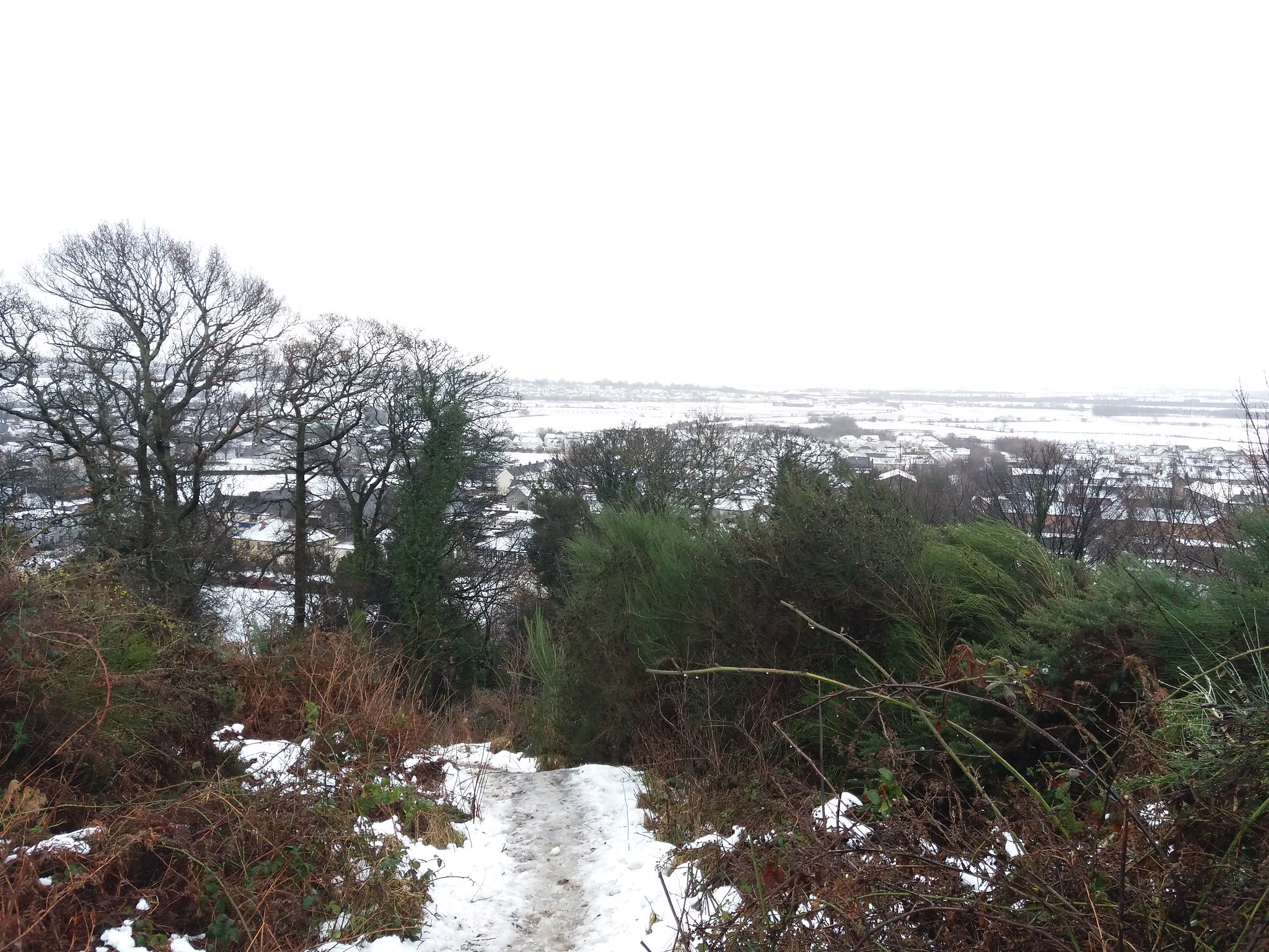 20180122_121343
 by
IainHamiltonPhotography, on Flickr
A little further up you get your first look at the Glen.
 20180122_121932
 by
IainHamiltonPhotography, on Flickr
Climb a little higher (through more gorse) towards the gate at the landrover track and you can get a better view of below.
 20180122_122437
 by
IainHamiltonPhotography, on Flickr
Now I had no intention of using the road, I wanted to investigate a small track that more closely follows the glen, so I headed back down a little, after 10 minutes or so of searching I found what I was looking for.
 20180122_123638
 by
IainHamiltonPhotography, on Flickr
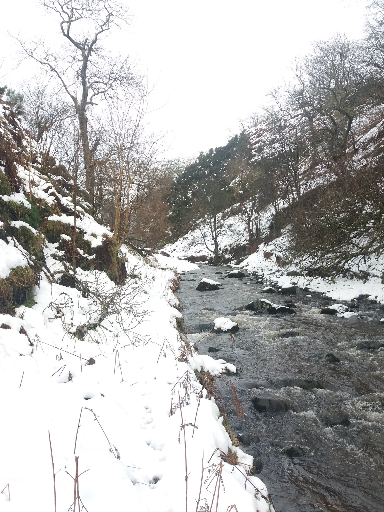
WARNING: This track, which is shown on the OS 1:25,000 for the area, is now mostly unusable & derelict. I later met a local on my descent who informed me that large sections had collapsed into the glen, what was left had returned to nature.The track soon disappeared and I was walking in 10-20cm of fresh snow, the early section is quite precarious, with many close drops into the glen below, I made sure to choose my path carefully. After a while you start to hear the sound of a waterfall, I had to investigate.
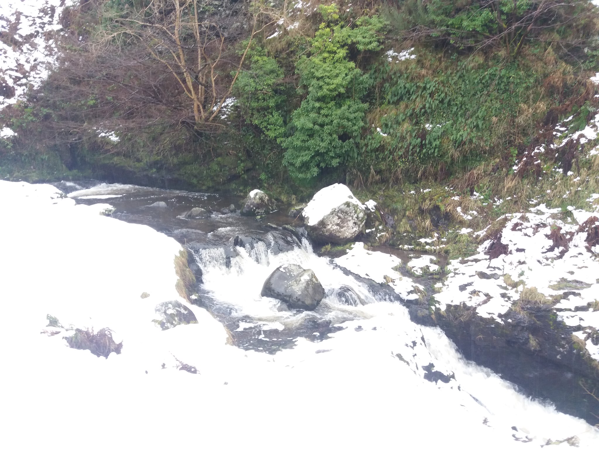 20180122_123823
 by
IainHamiltonPhotography, on Flickr
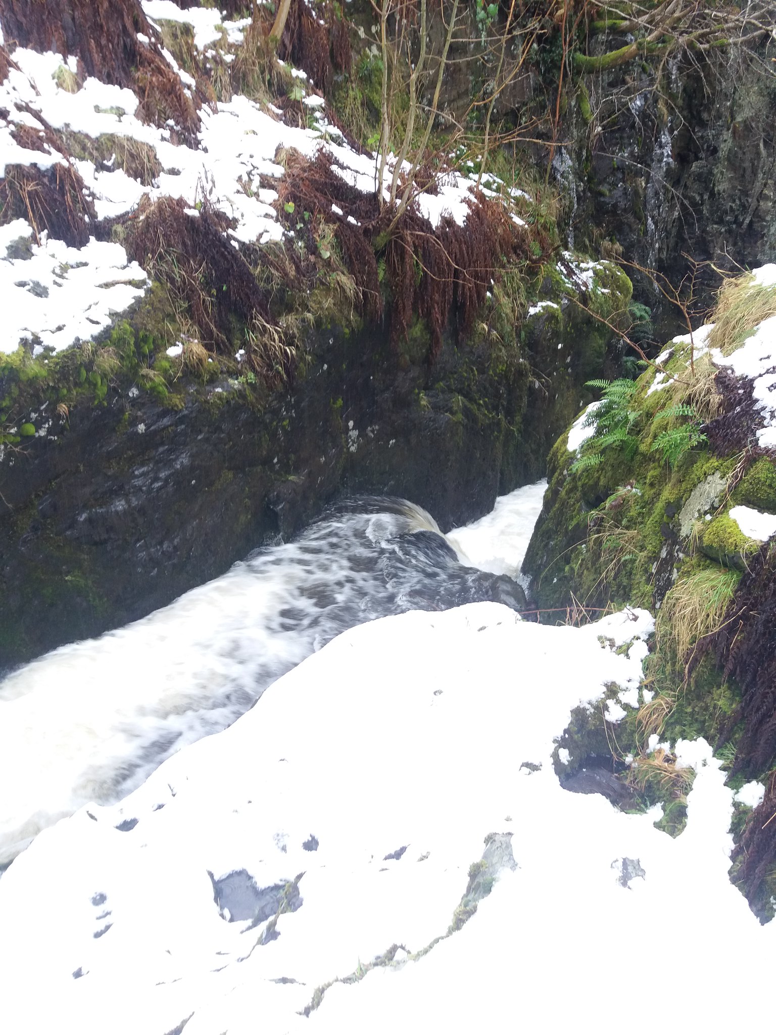 20180122_123904
 by
IainHamiltonPhotography, on Flickr
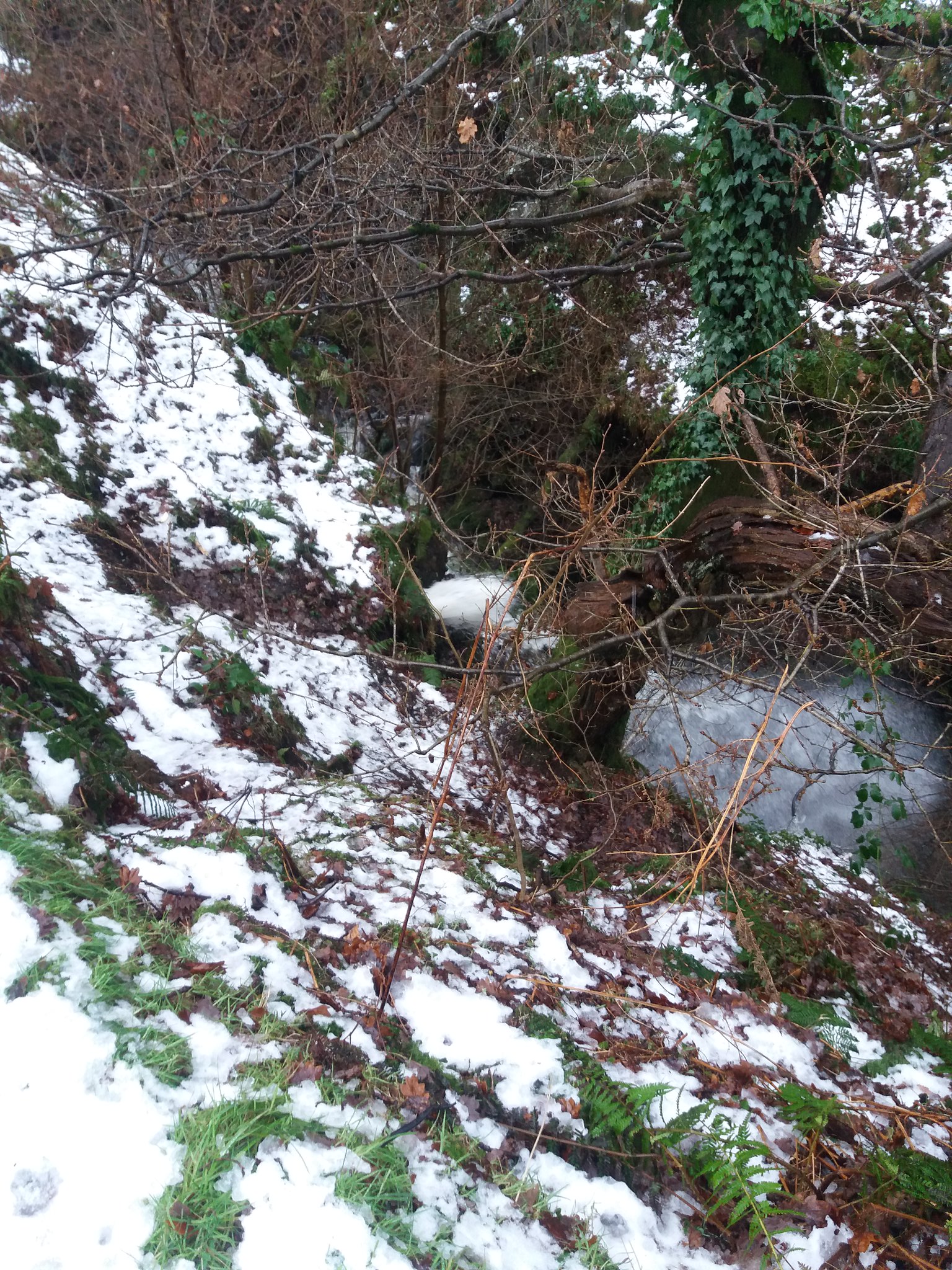 20180122_123647
 by
IainHamiltonPhotography, on Flickr
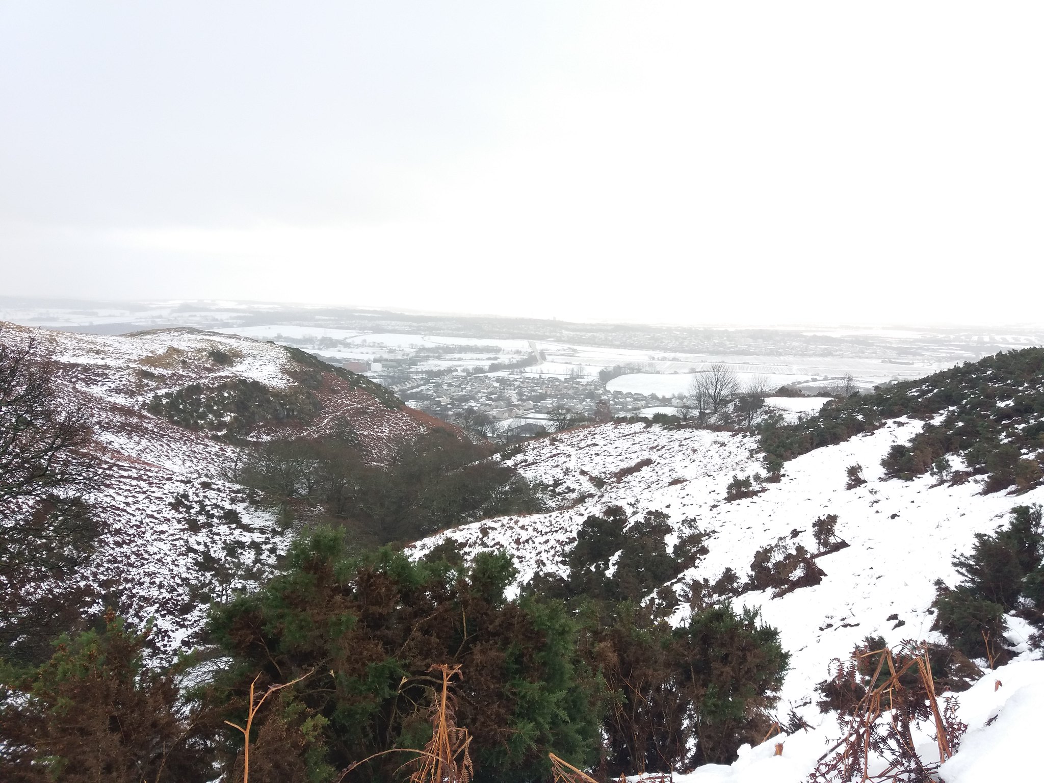
On climbing out the glen a little to avoid yet another steep drop, the view back down was pleasing to say the least.
 20180122_125023
 by
IainHamiltonPhotography, on Flickr
The walking was hard, the snow was nearly knee deep, drifting had made some areas thigh deep, but at least the glen has started to open up.
 20180122_131849
 by
IainHamiltonPhotography, on Flickr
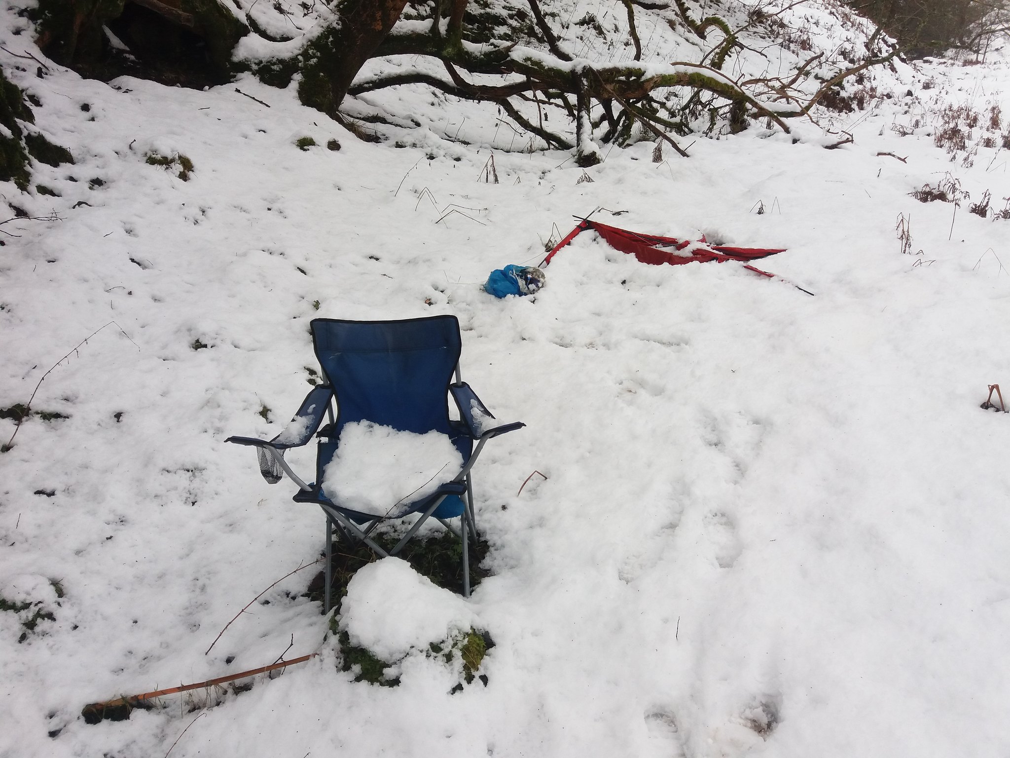
Then to my dismay I came upon NED evidence

they must have brought their gear down for a drinking session, only to realise that it was going to be a lot harder to get it back up. Now, I do detest that some areas of Scotland are covered by camping management zones, I can understand why though.
 20180122_133249
 by
IainHamiltonPhotography, on Flickr
It was such a beautiful flat section in the burn aswell.
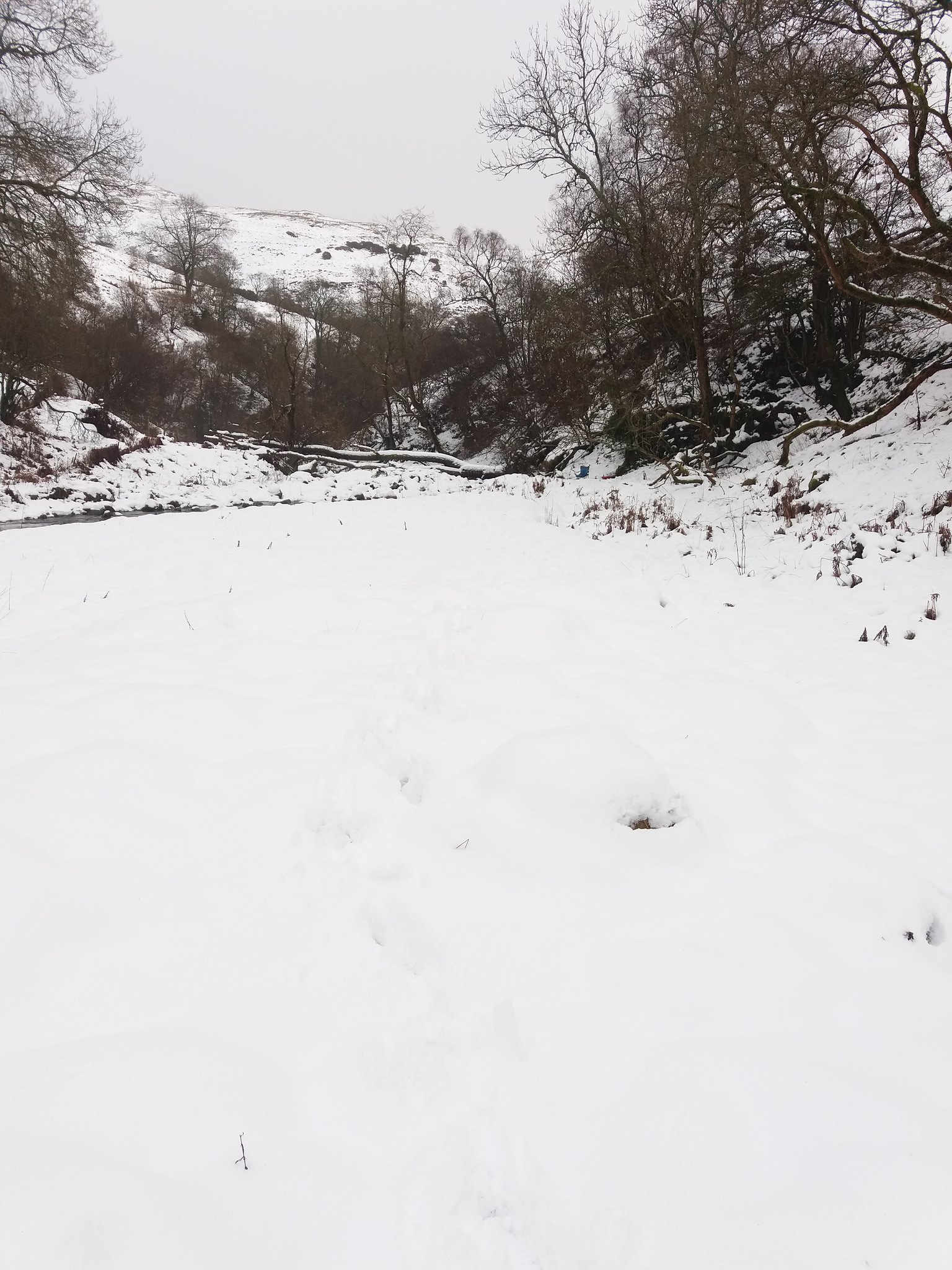 20180122_133413
 by
IainHamiltonPhotography, on Flickr
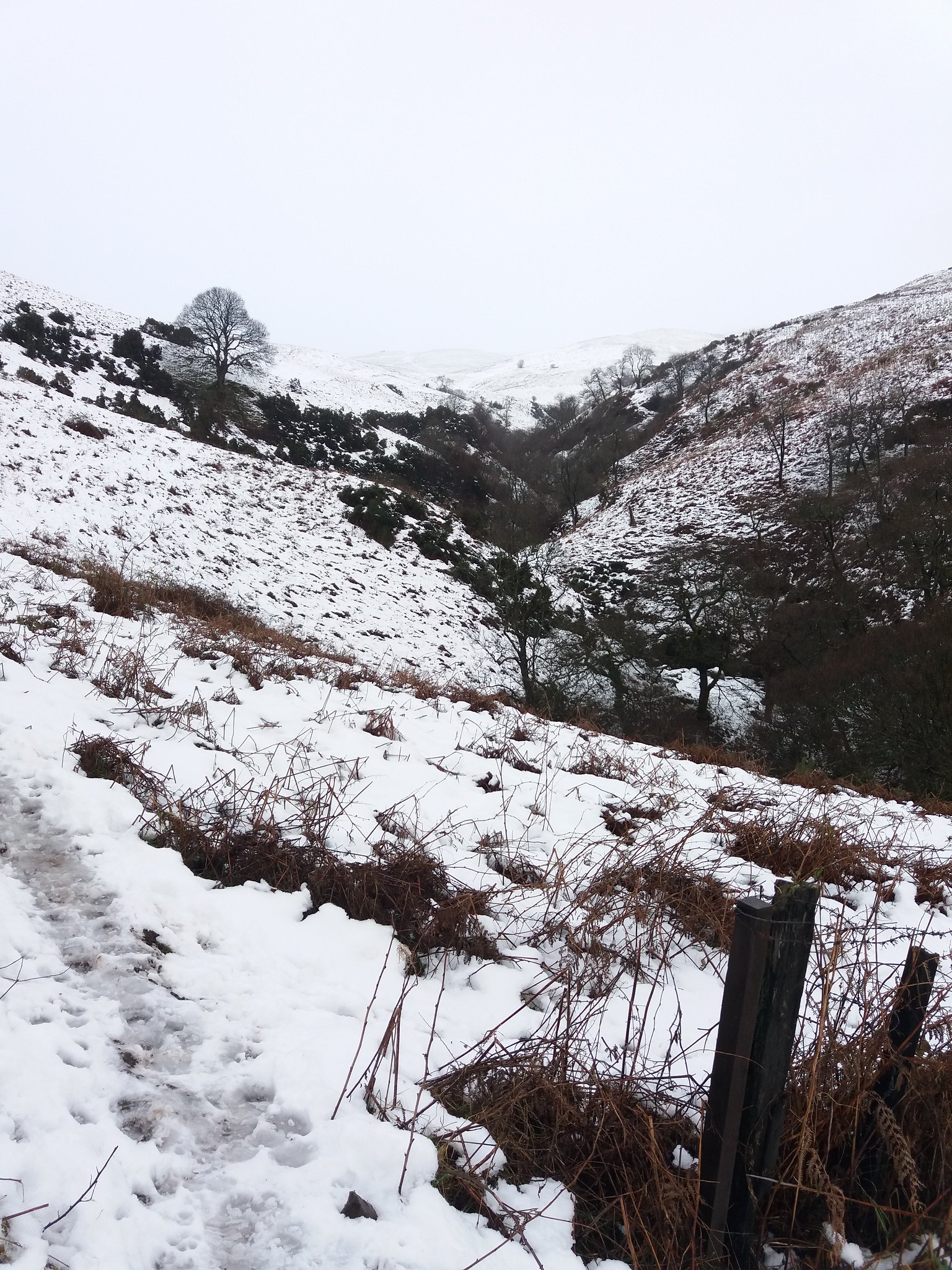
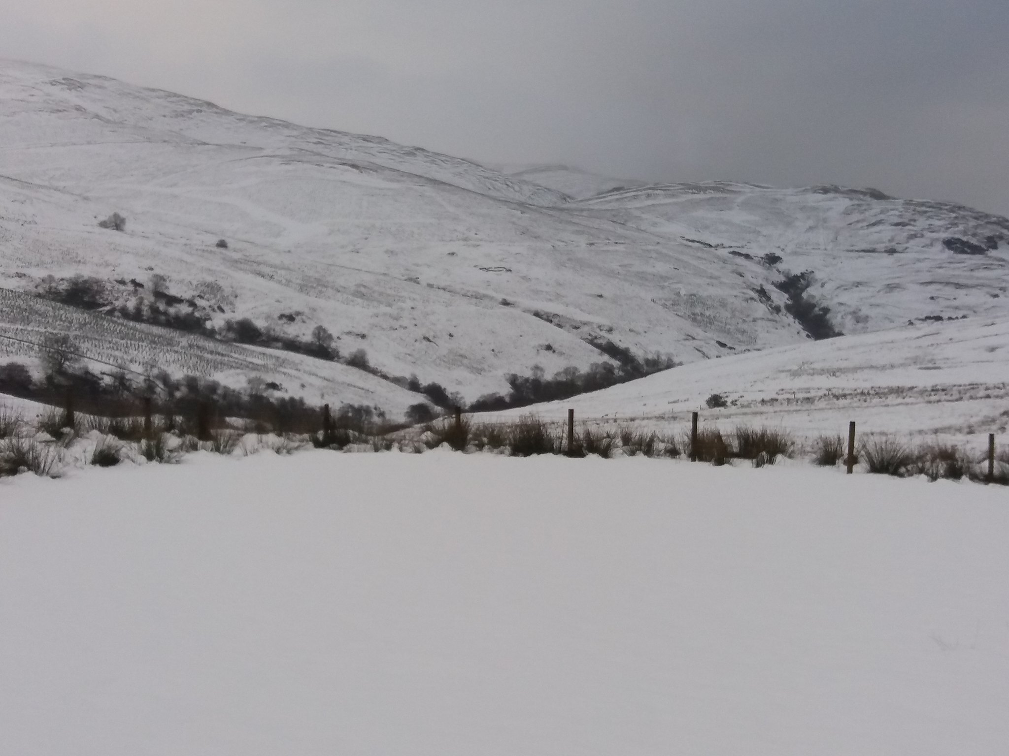
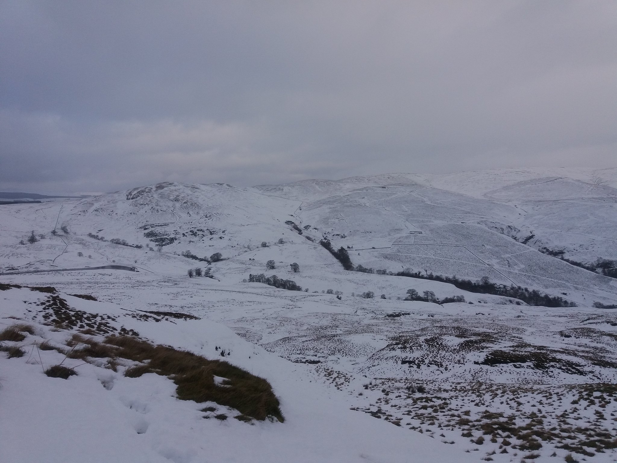
The glen deepens again, the Menstrie Burn disappears and the two tributaries appear, Crunie Burn from the NW, Loss Burn from the W. I follow the Loss Burn and climb, until at last I see my turning point ahead Lossburn Reservoir.
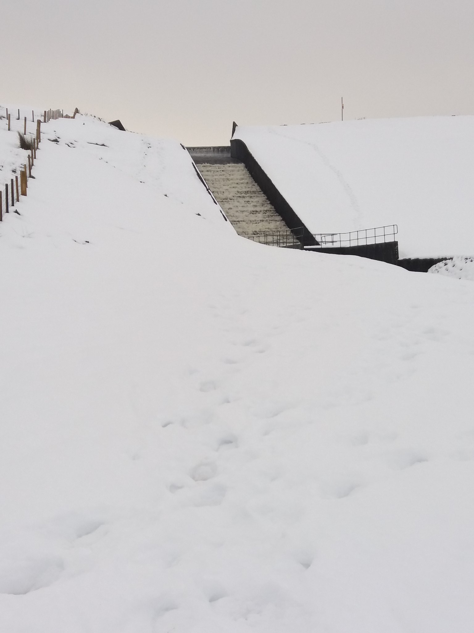 20180122_142000
 by
IainHamiltonPhotography, on Flickr
Nearly 2 hours 20 to cover just over 2 miles, I was certainly getting the workout I was looking for, my legs were aching. Time for a little lunch at the gate before I turned South and started to towards the base of Dumyat.
From here I had to follow the Landrover track for a short distance, Dumyat appears before me.
 20180122_142844
 by
IainHamiltonPhotography, on Flickr
The view North from the same spot.
 20180122_142854
 by
IainHamiltonPhotography, on Flickr
As you step of the track the first section to the hill is quite boggy, there is a hidden stream running down from the hill, its hidden in the snow but you can tell by the marsh grass that eventually appears.
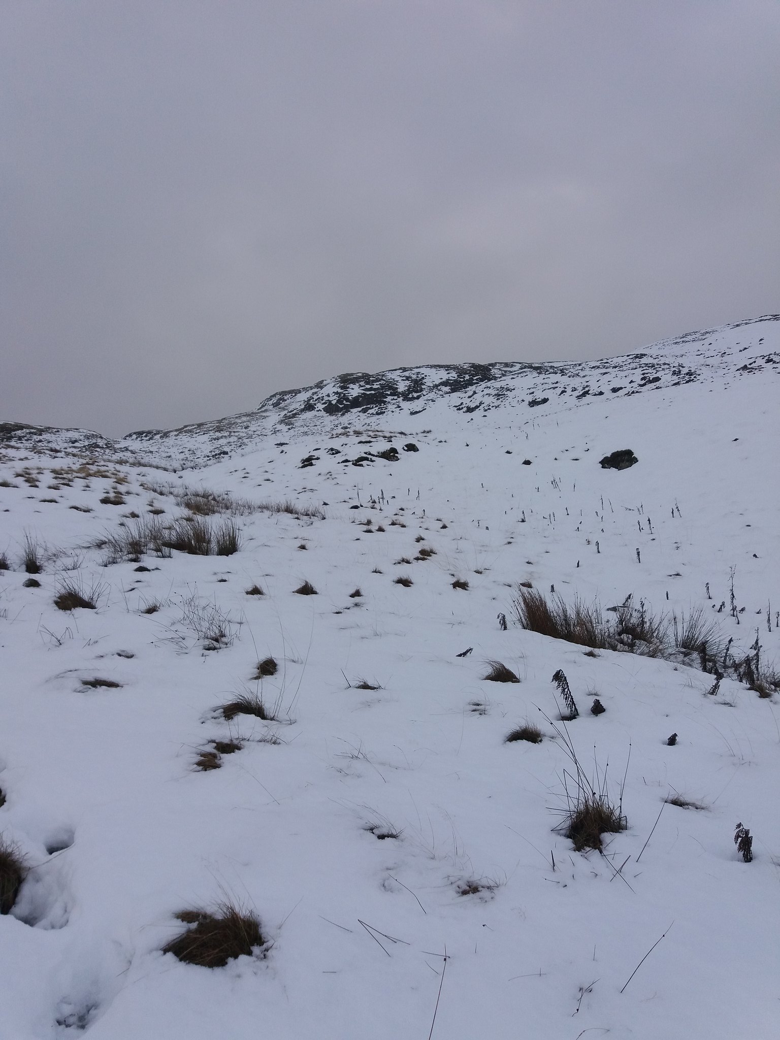 20180122_144640
 by
IainHamiltonPhotography, on Flickr
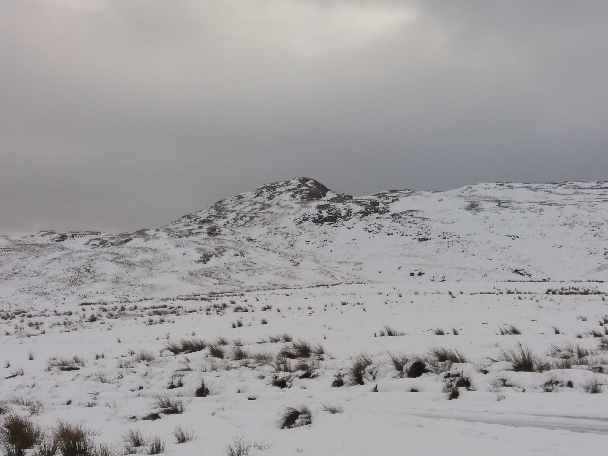
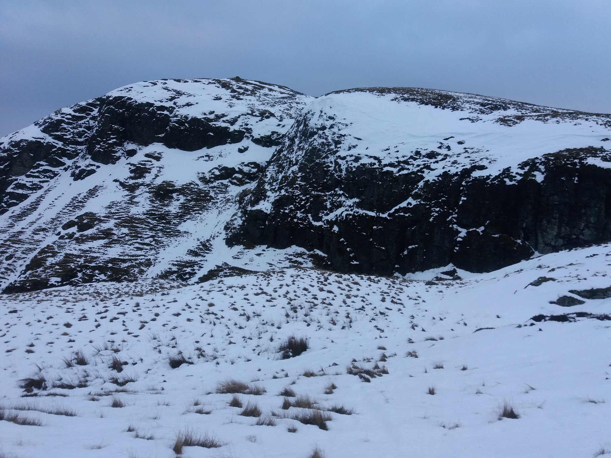
One of the 3 false summits starts to loom above you.
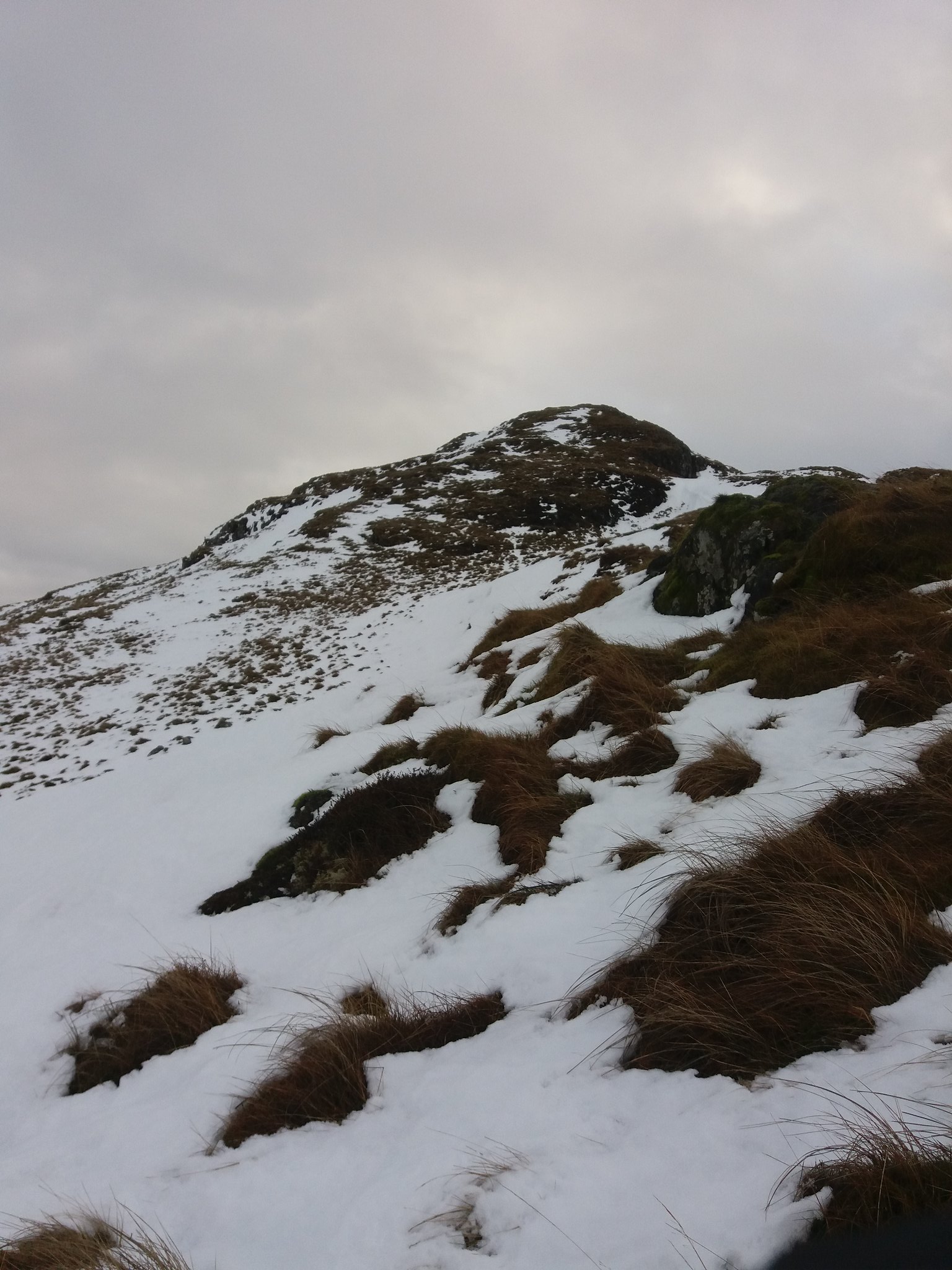 20180122_150237
 by
IainHamiltonPhotography, on Flickr
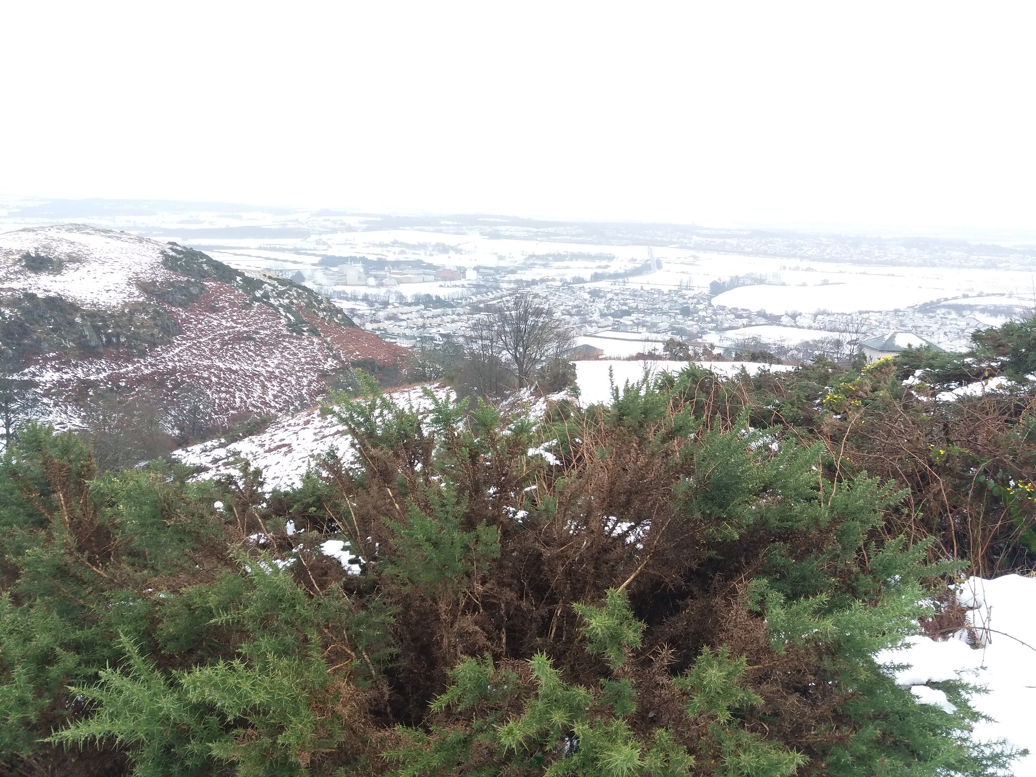
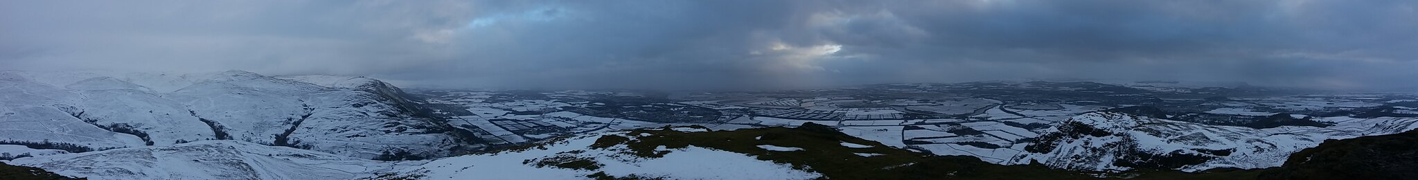
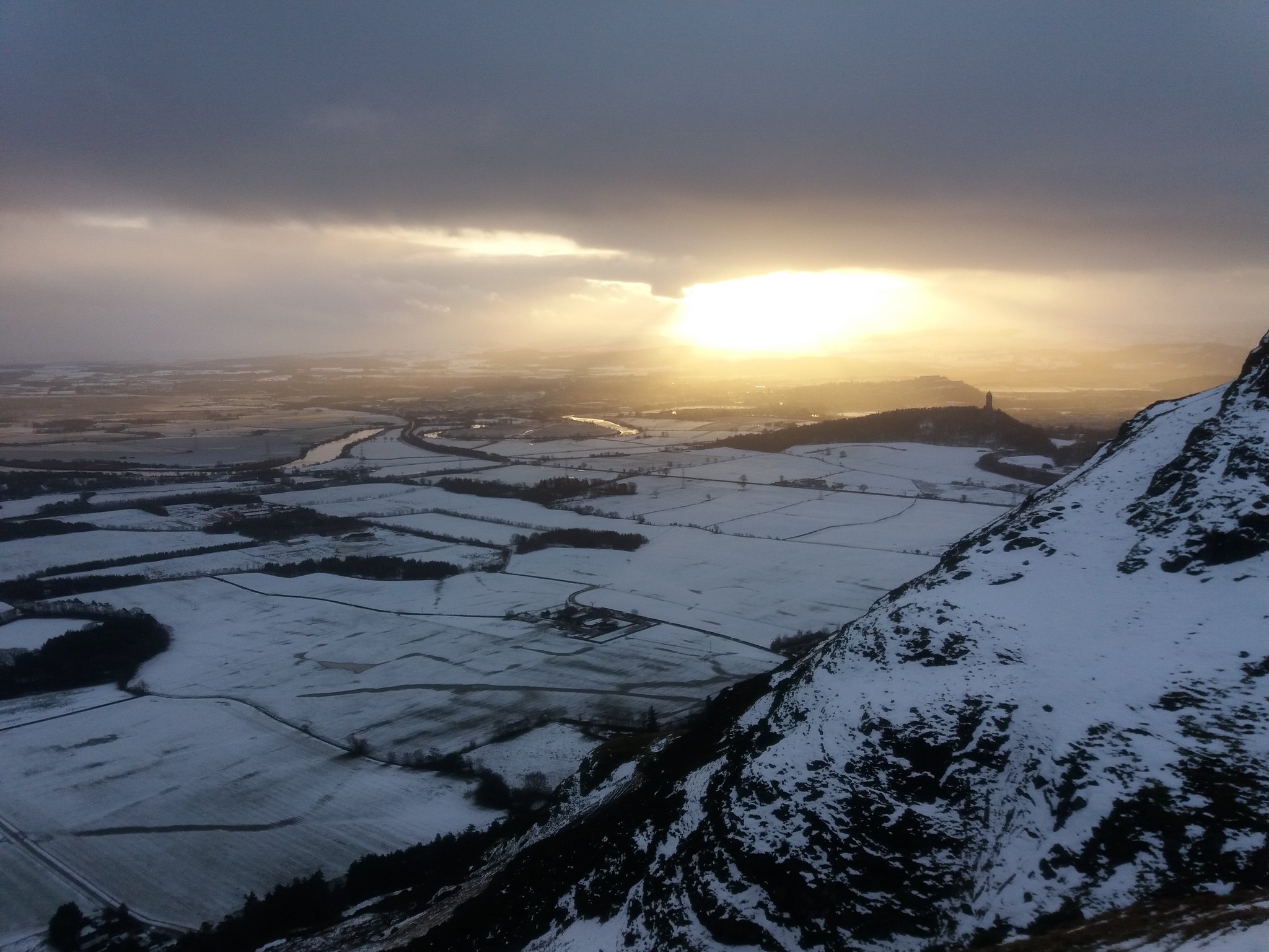
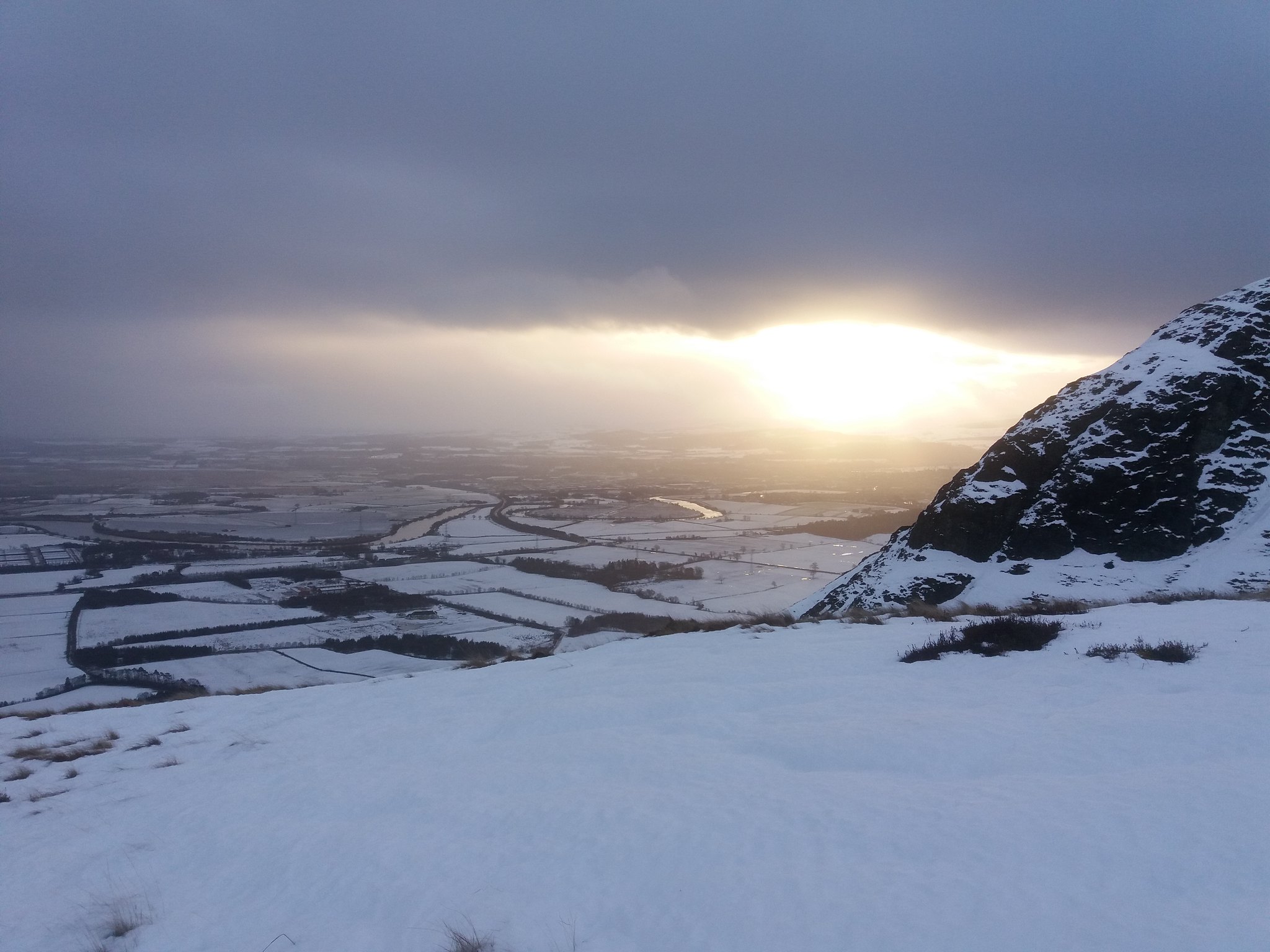
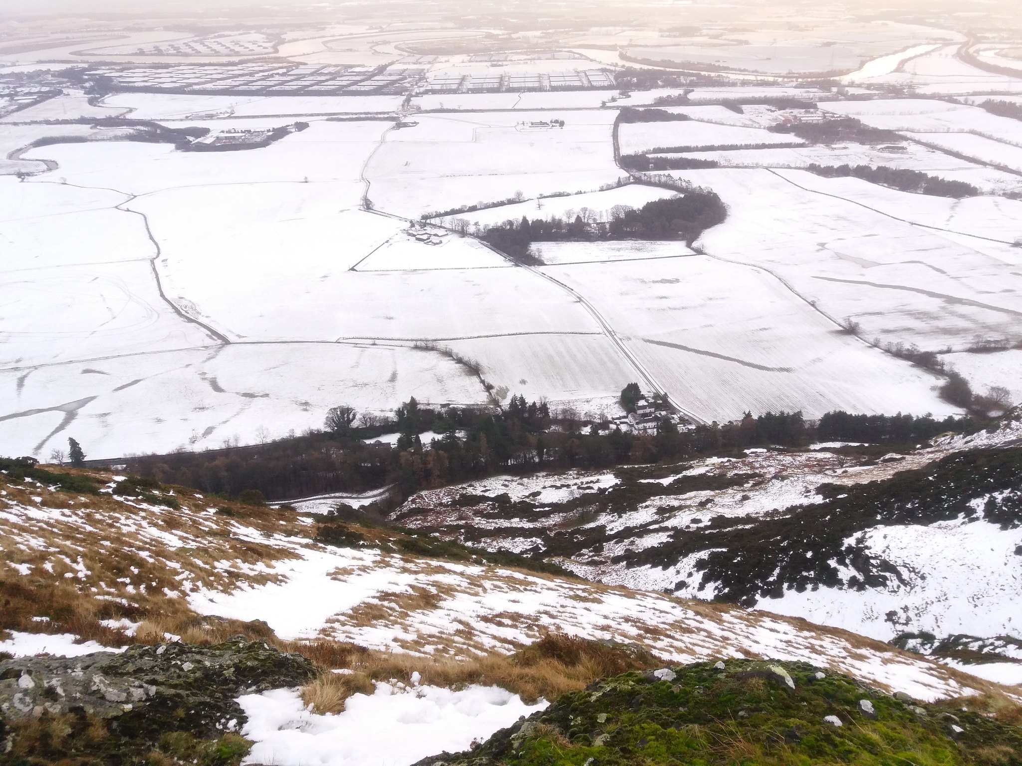
The views around you only get better the higher you climb.
 20180122_150613
 by
IainHamiltonPhotography, on Flickr
Until at last you reach the summit and the Argyll and Sutherland Highlanders memorial.
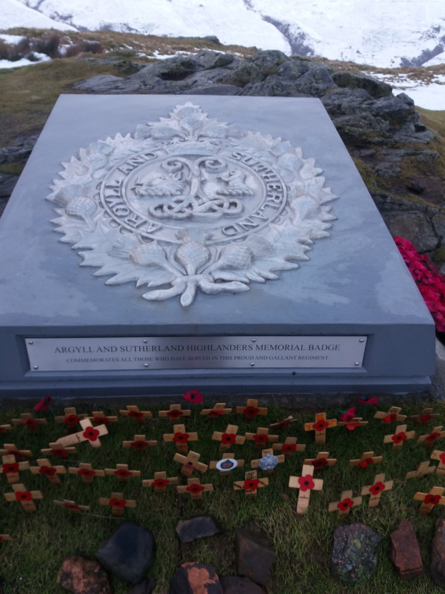 20180122_151319
 by
IainHamiltonPhotography, on Flickr
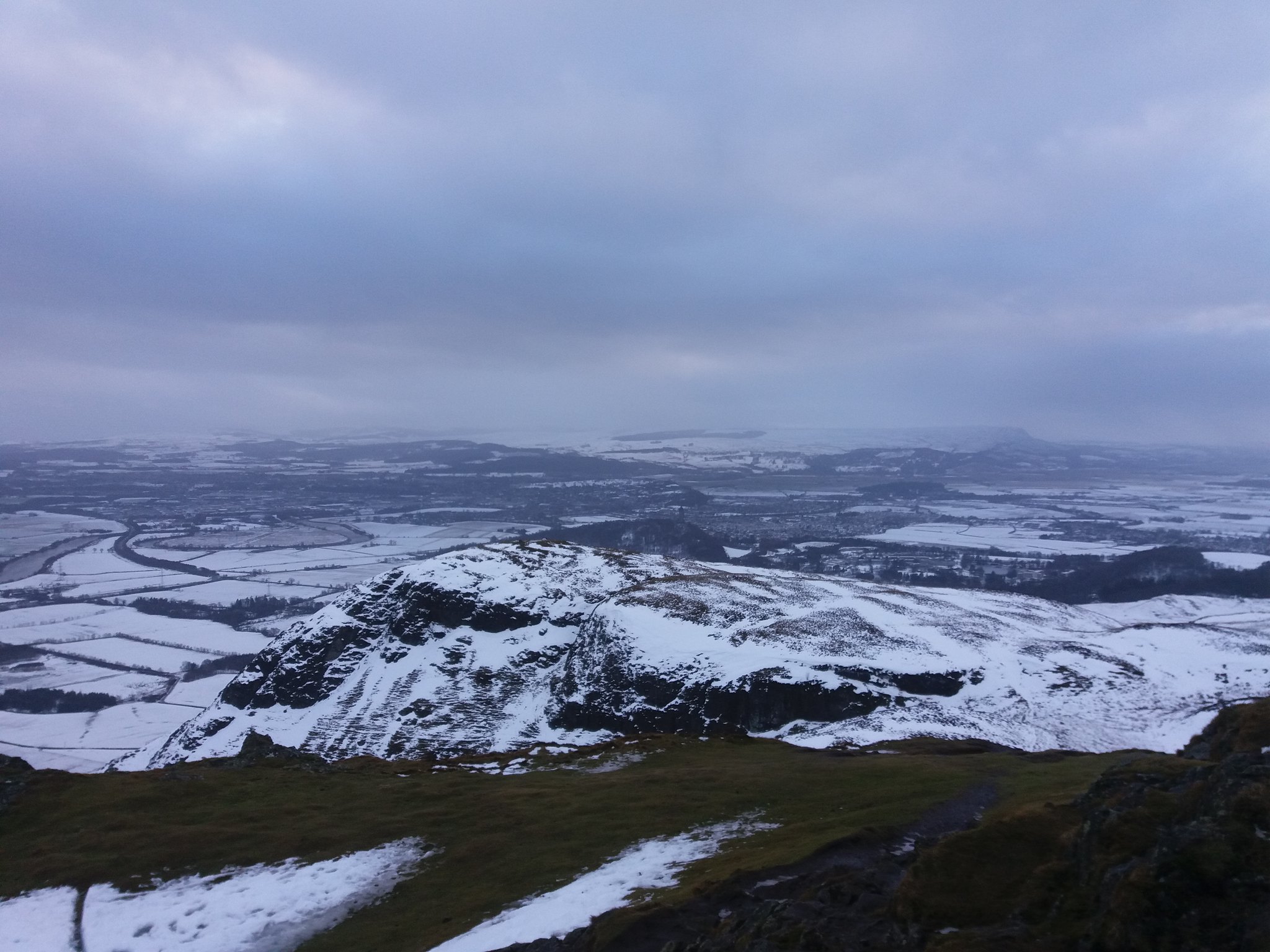
Obligatory summit shot & then a few of the views around you.
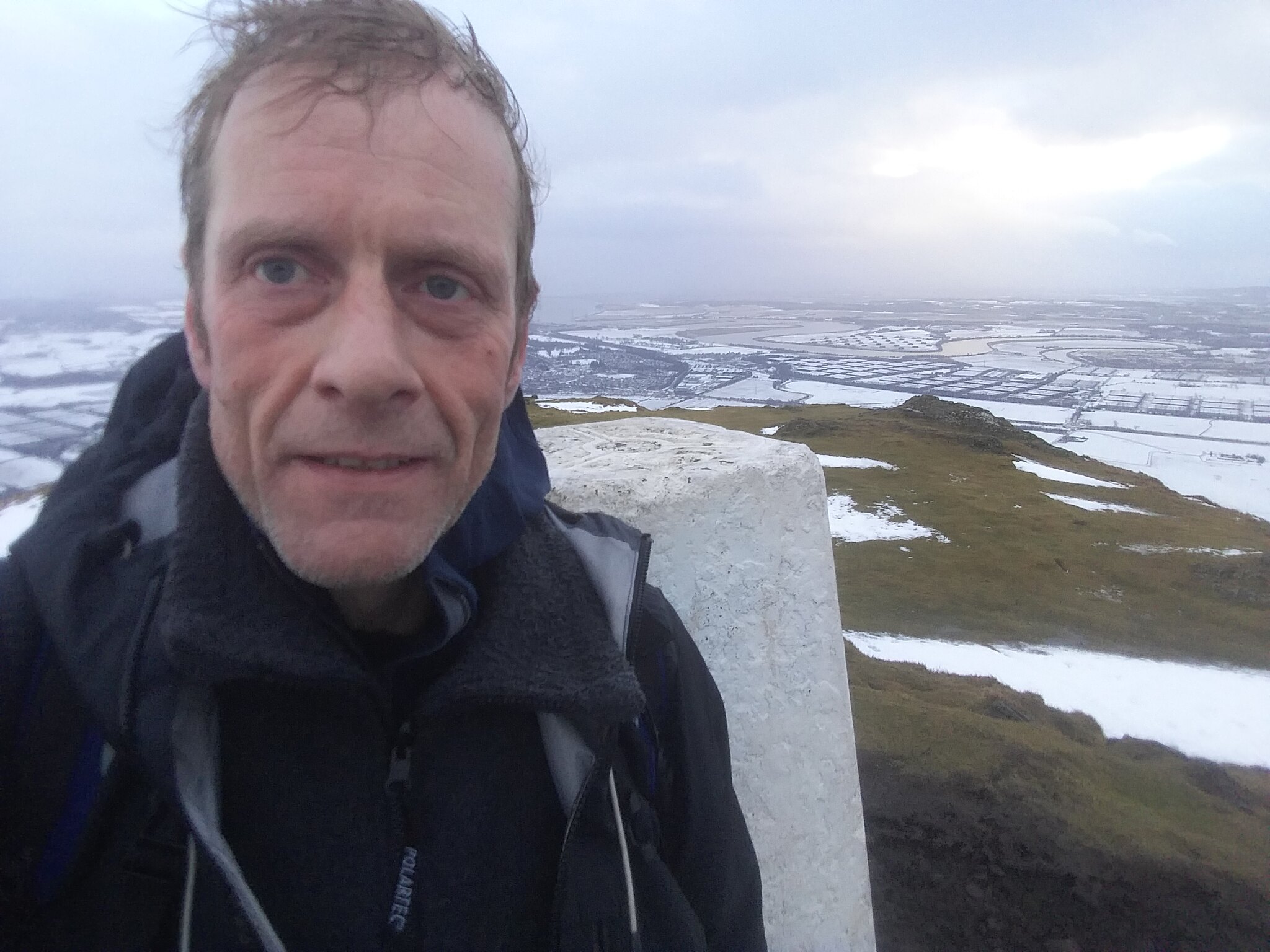 20180122_151436
 by
IainHamiltonPhotography, on Flickr
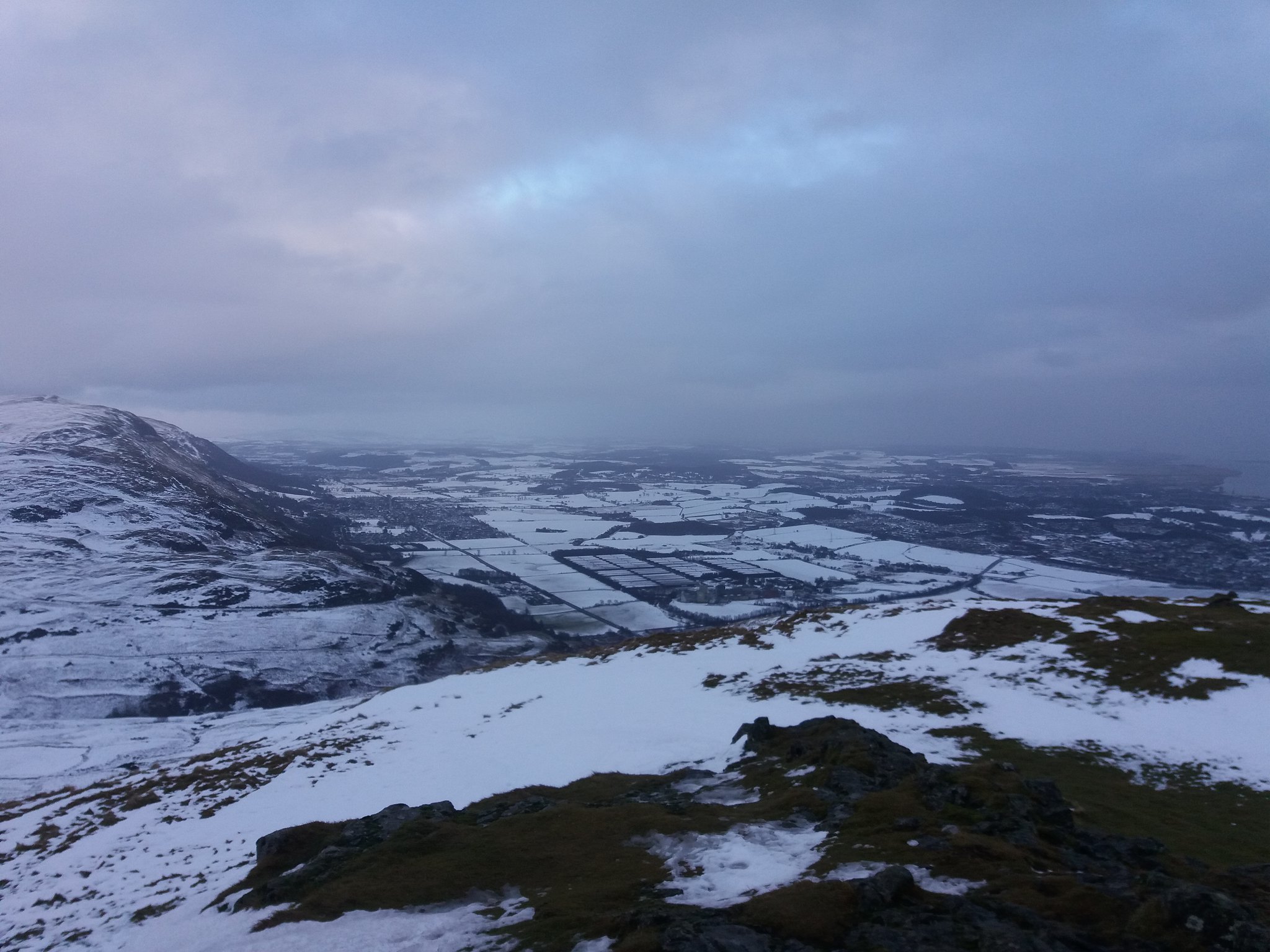 20180122_151446
 by
IainHamiltonPhotography, on Flickr
 20180122_151531
 by
IainHamiltonPhotography, on Flickr
 20180122_151459
 by
IainHamiltonPhotography, on Flickr
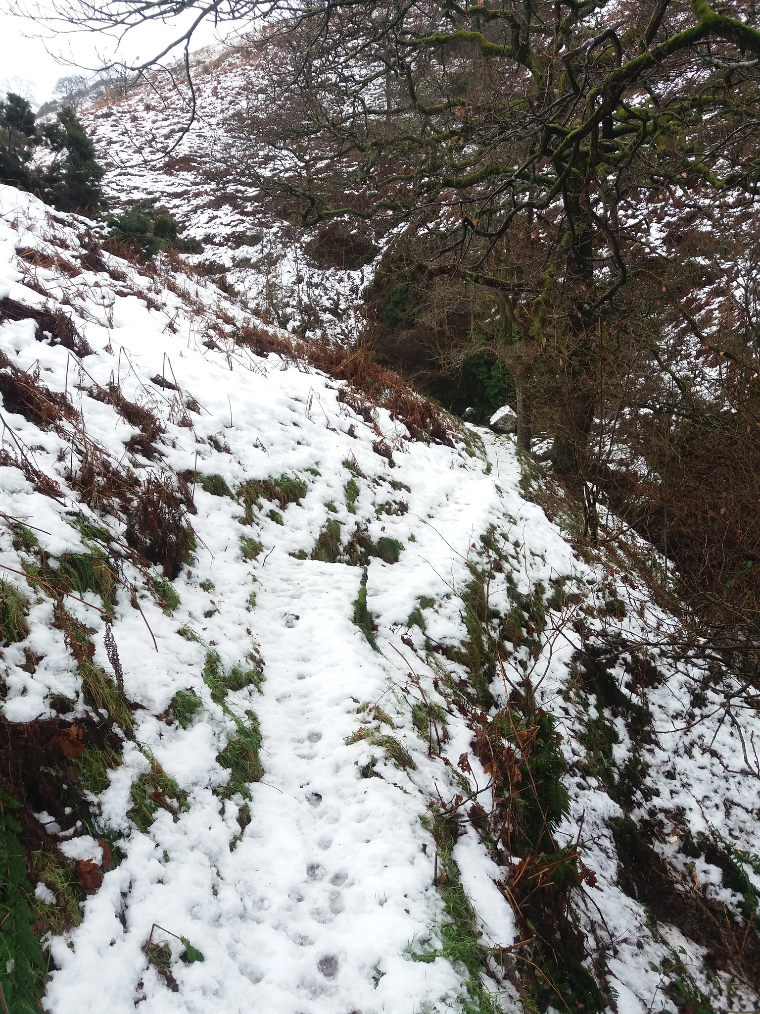
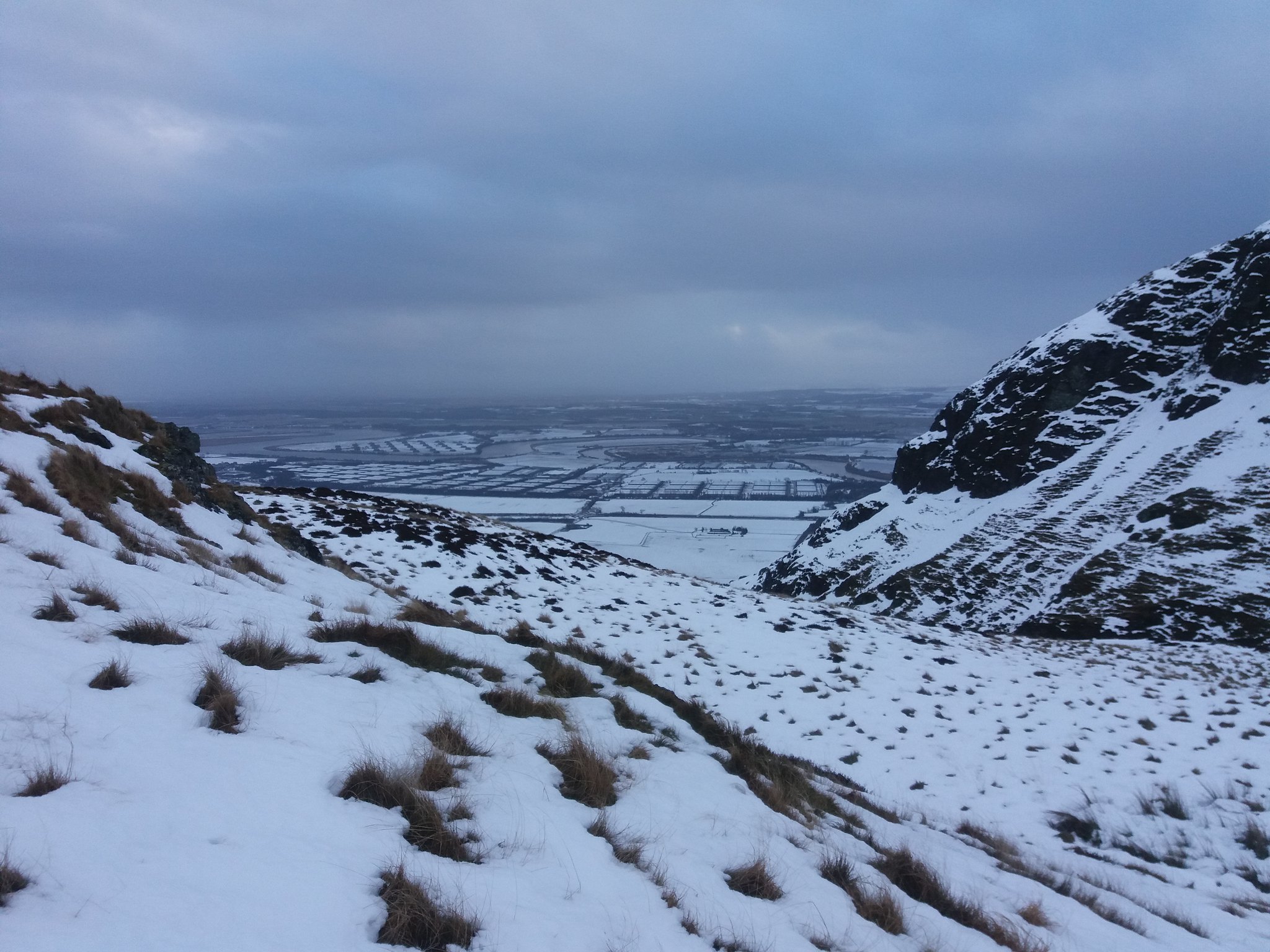
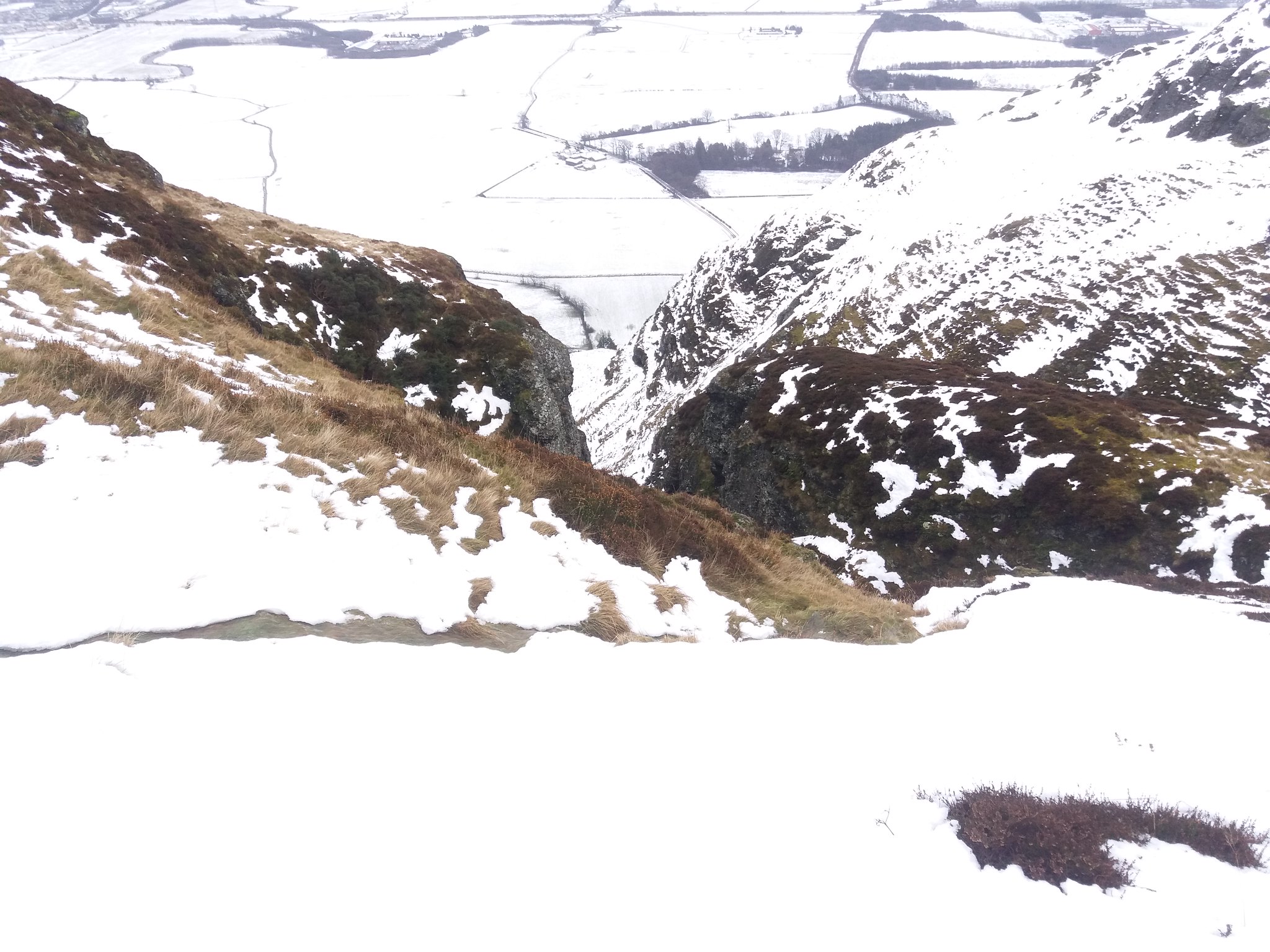
WARNING: The descent route I took is not for the faint hearted, at more than a few points the drop from the South face is quite considerable.
THIS IS A DANGEROUS ROUTE.A few images I managed to capture on the descent.
 20180122_152324
 by
IainHamiltonPhotography, on Flickr
 20180122_152329
 by
IainHamiltonPhotography, on Flickr
 20180122_152633
 by
IainHamiltonPhotography, on Flickr
 20180122_153314
 by
IainHamiltonPhotography, on Flickr
 20180122_152948
 by
IainHamiltonPhotography, on Flickr
 20180122_153638
 by
IainHamiltonPhotography, on Flickr
I'd had the hill to myself until a met a local on the last 1/4 mile, we blethered, we both fell on our ar$e, we both laughed... another day to remember

PS A minor hiccup as I got back into the car. Still attached by its lanyard to my belt, it fell out my pocket just as a closed the drivers door
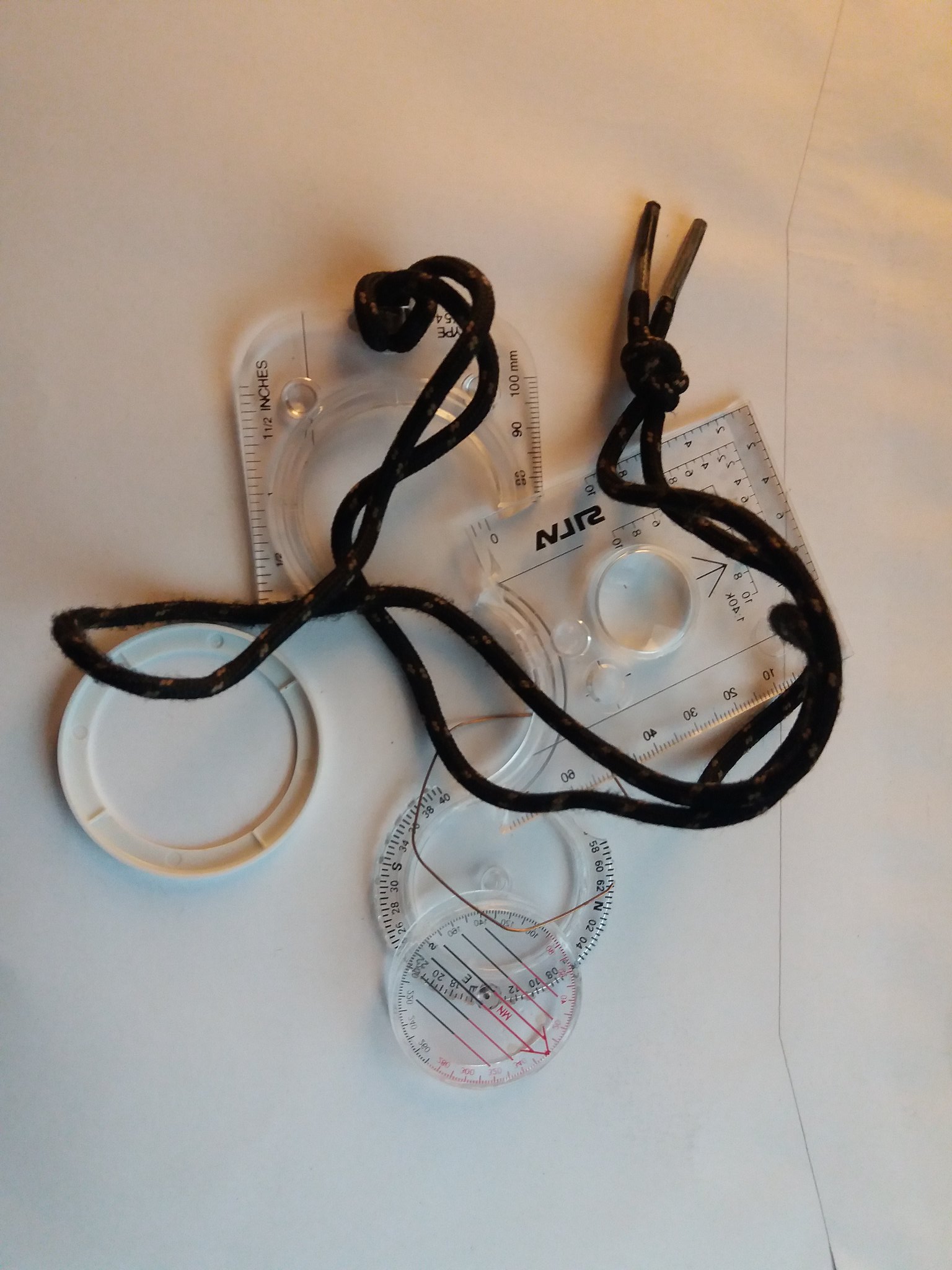 20180123_005630
 by
IainHamiltonPhotography, on Flickr
Still living "Just for Today"
