free to be able to rate and comment on reports (as well as access 1:25000 mapping).
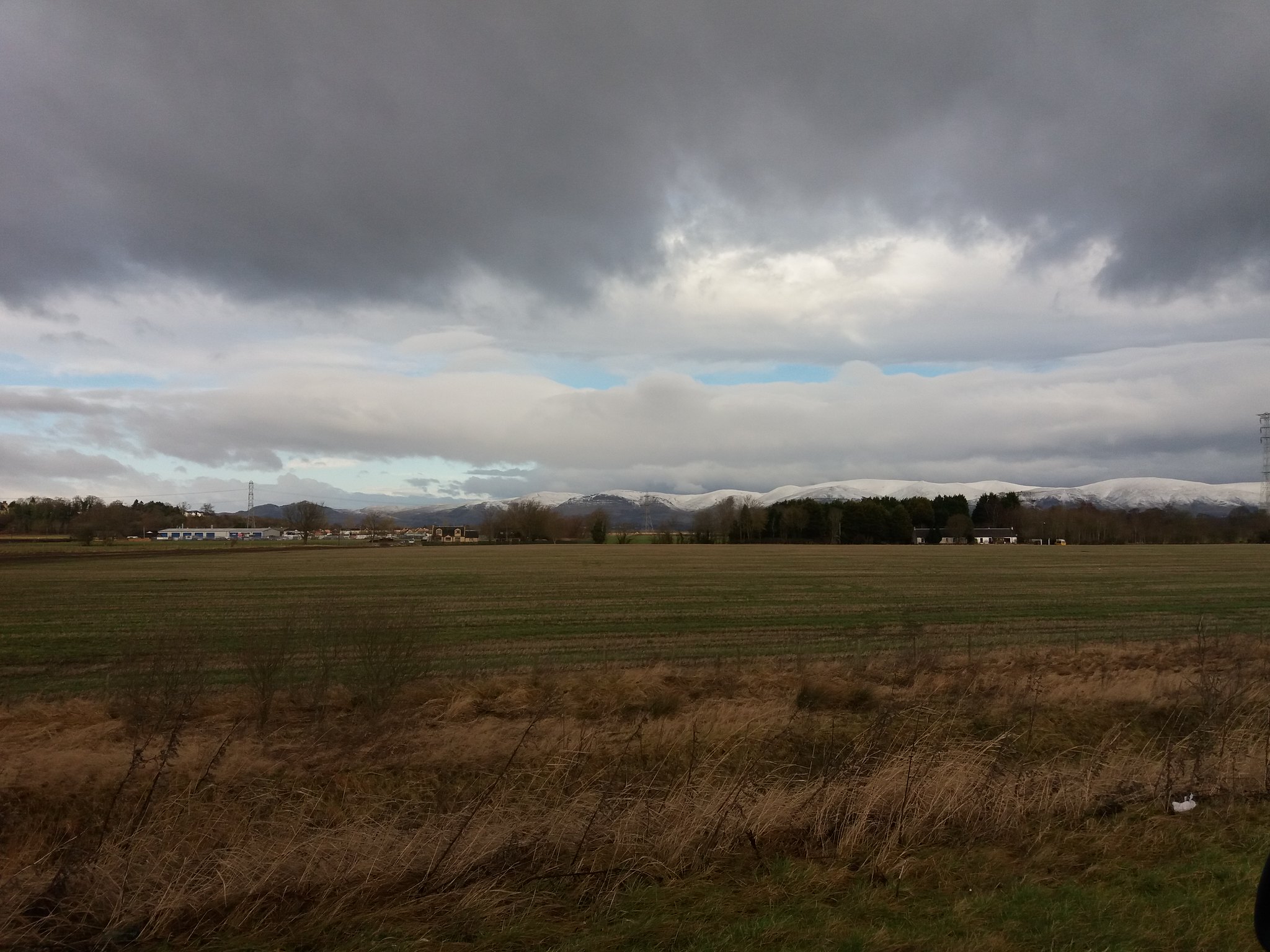
So i had given myself a short break after my exsertions at the weekend, my Morton's toe has been playing havoc with my feet, but by the time I'd woken up on Thursday I was feeling empty, I needed to get back into training mode and return to the hills. I had taken a short drive earlier in the morning and the snow topped Ochils were calling.
 20180201_103910
 by
IainHamiltonPhotography, on Flickr
So after quick look at the map I'd decided that a wee circular from Alva Glen would be my plan for for the day, I'd be able to bag my last Ochils Donald with Blairdenon and also top the 2 Torrys, Bengengie, Ben Ever & The Nebit. I'd also get a good workout in the snow and another day with near Munro height ascent total.
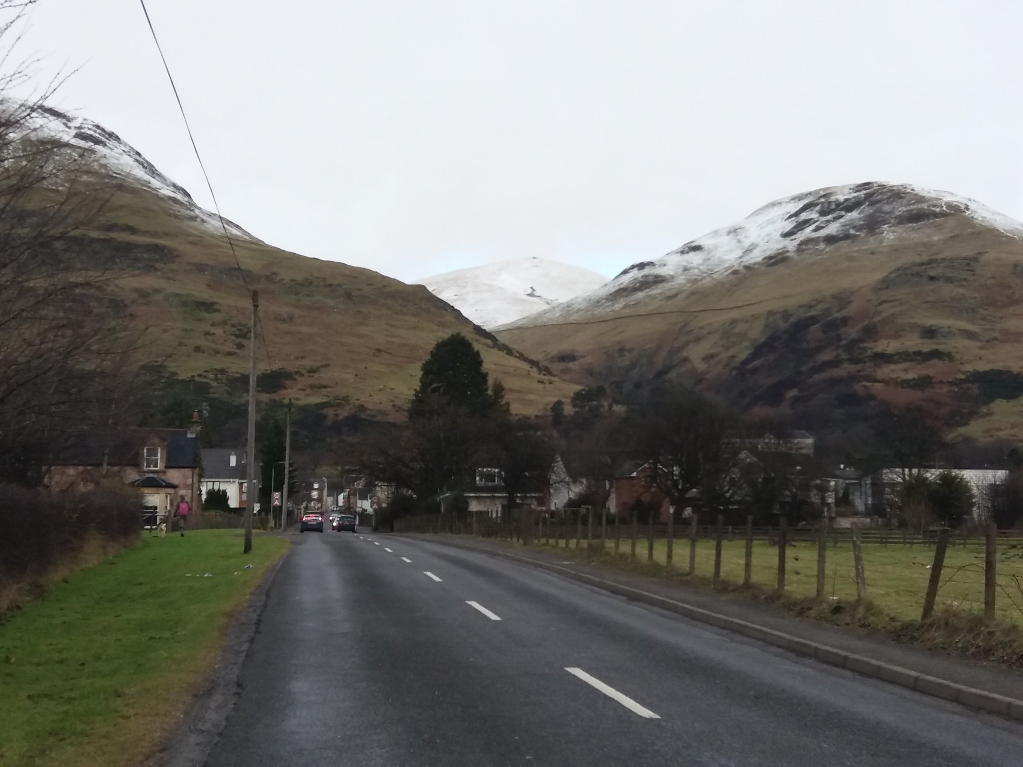
Now I'm lucky in that I can see the Ochils from the house, so the car was packed and within 20 minutes I was nearing Alva.
 20180201_105515
 by
IainHamiltonPhotography, on Flickr
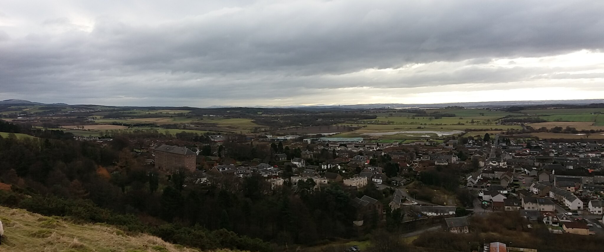
The view along the Ochils eastward from here is quite breathtaking,
 20180201_105503
 by
IainHamiltonPhotography, on Flickr
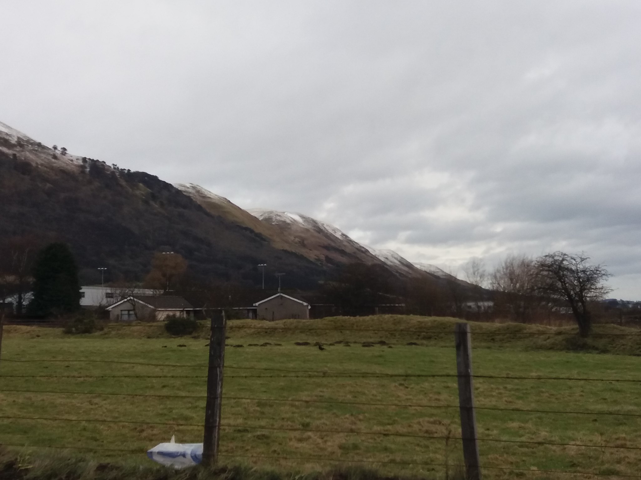
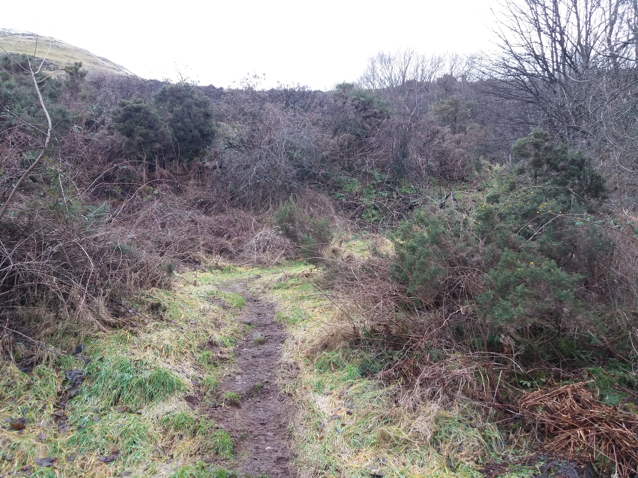
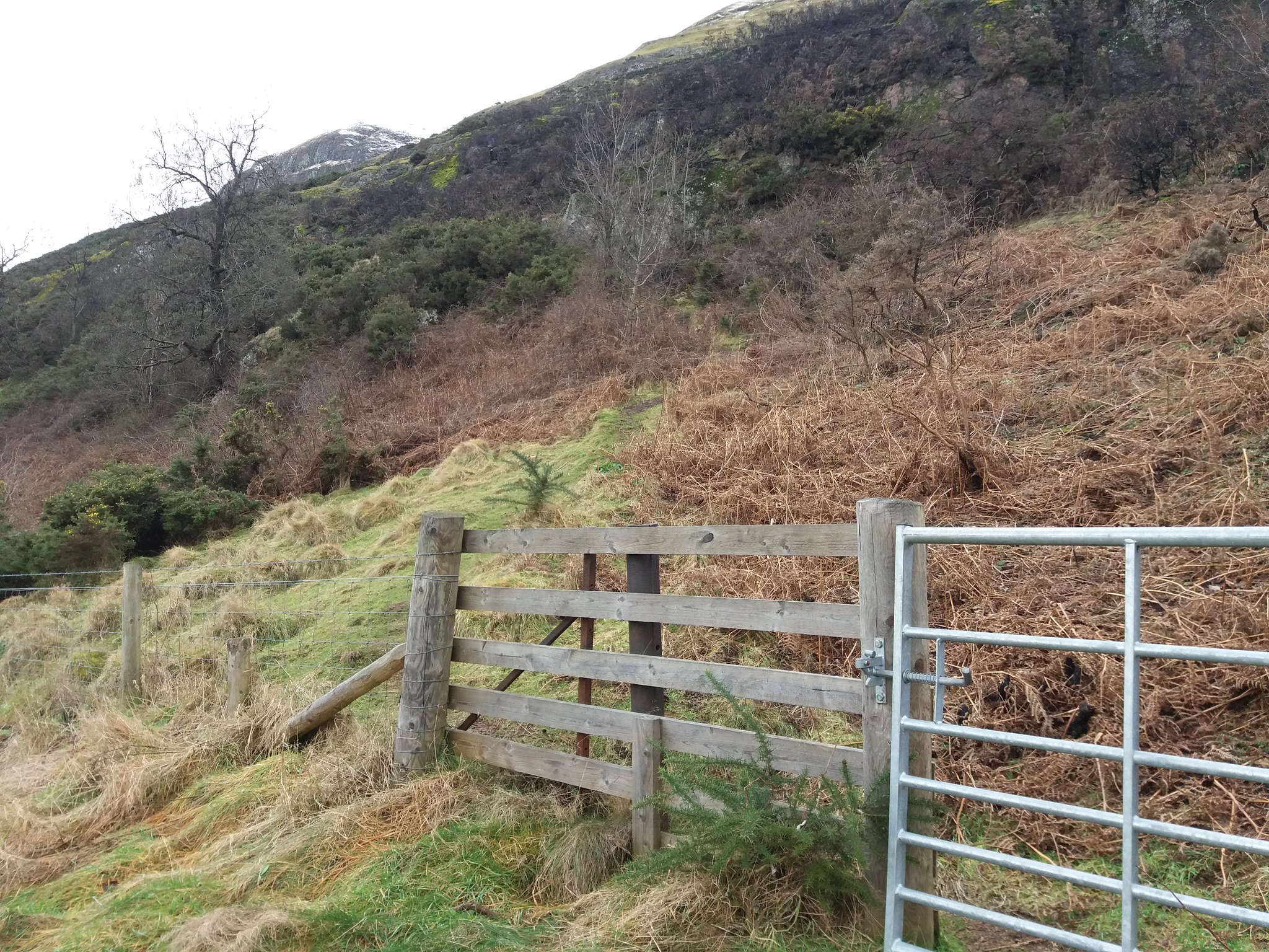
I drove straight through the village and parked up at the golf course, gear on & out the car by 11:10. I'd been working till 2 this morning, so not quite as early as my normal start time, but still plenty of time. From where I parked I walked a short distance back towards the golf course, on the right I find a small opening in the brambles that leads me over a wall onto the edge of the course, I follow a small path around a tee and soon find a path leading upwards.
 20180201_111458
 by
IainHamiltonPhotography, on Flickr
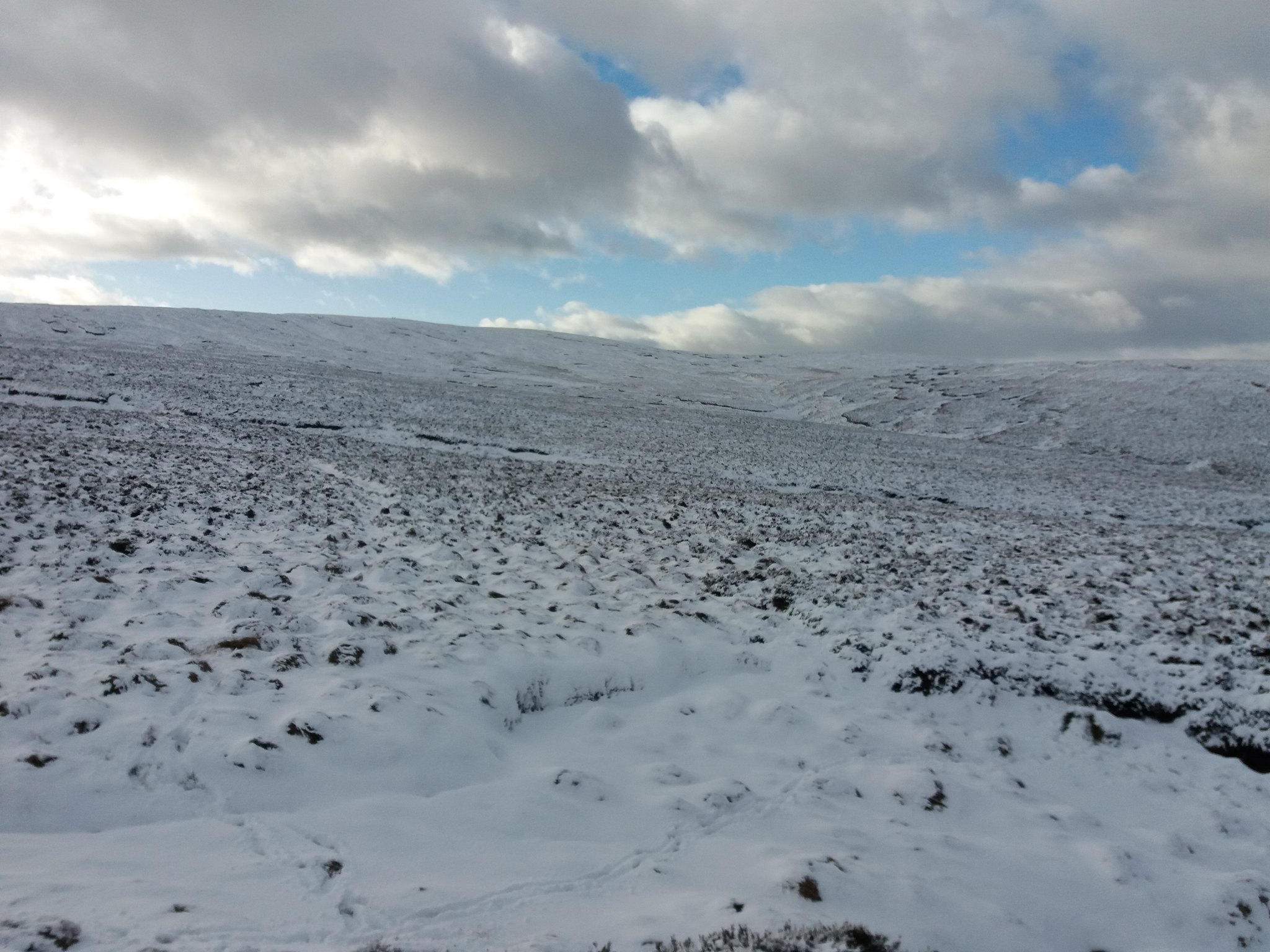
The Ochils always seem to have a quick start so you very quickly climb and the views open up, I soon find the gate onto the hill and then check the view behind me.
 20180201_111737
 by
IainHamiltonPhotography, on Flickr
 20180201_112241
 by
IainHamiltonPhotography, on Flickr
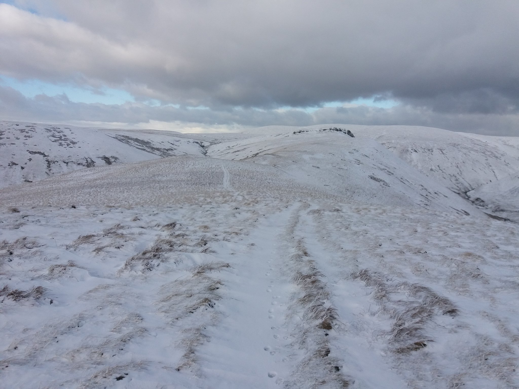
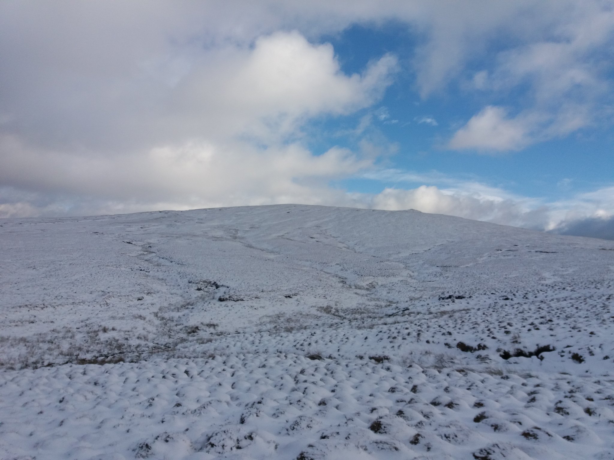
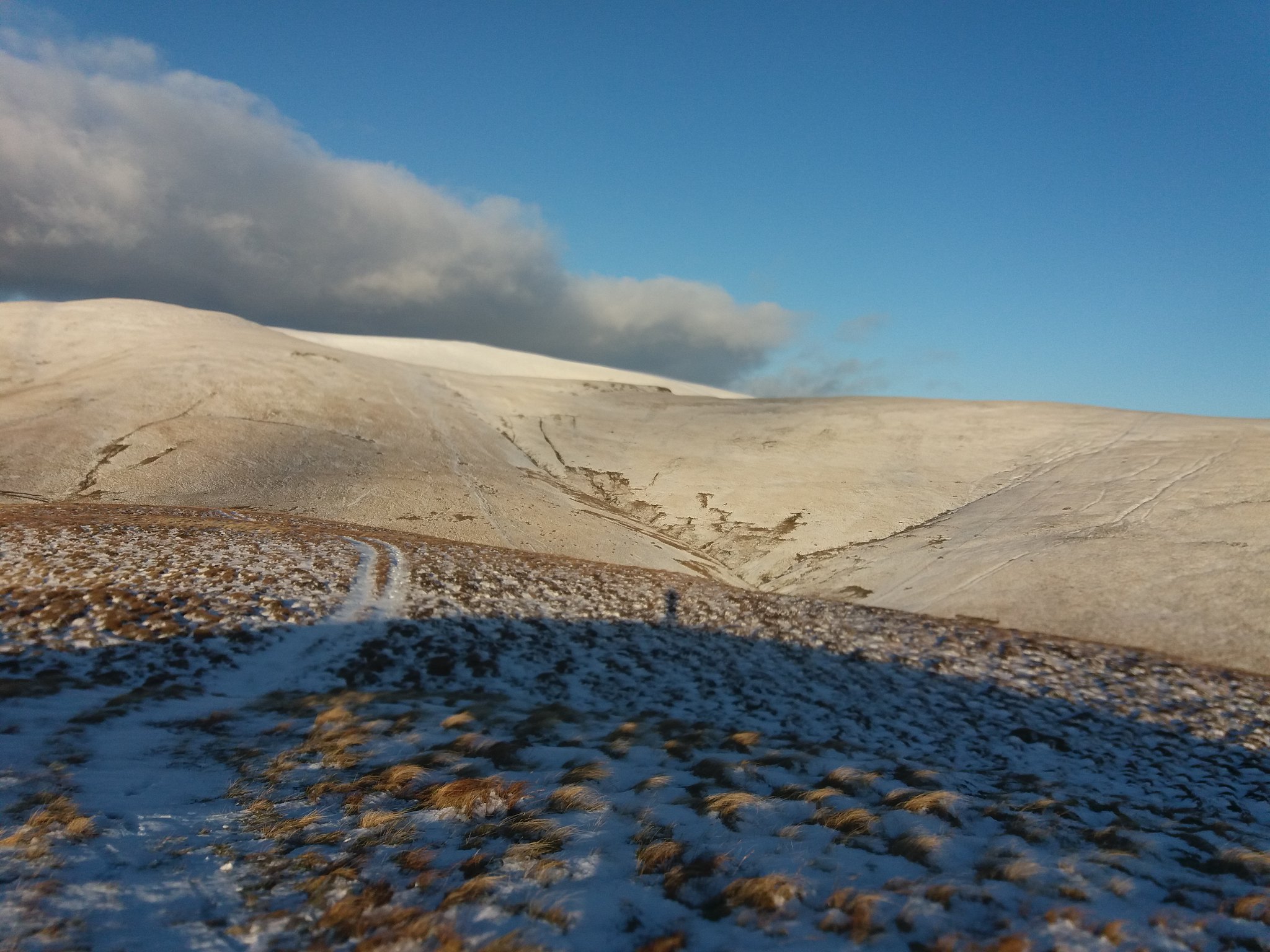
I follow the path as it starts to lead me upwards into the glen.
 20180201_113247
 by
IainHamiltonPhotography, on Flickr
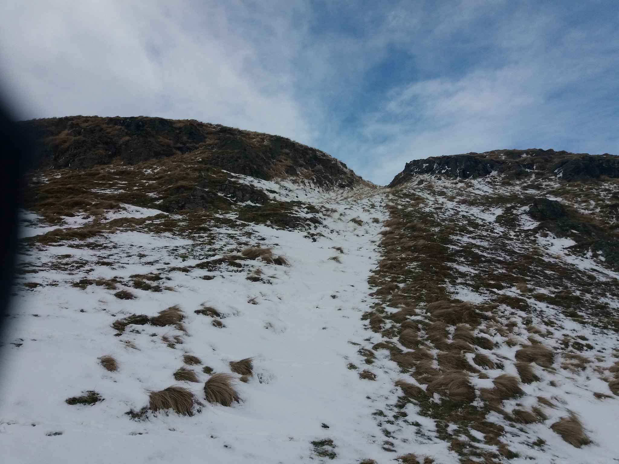
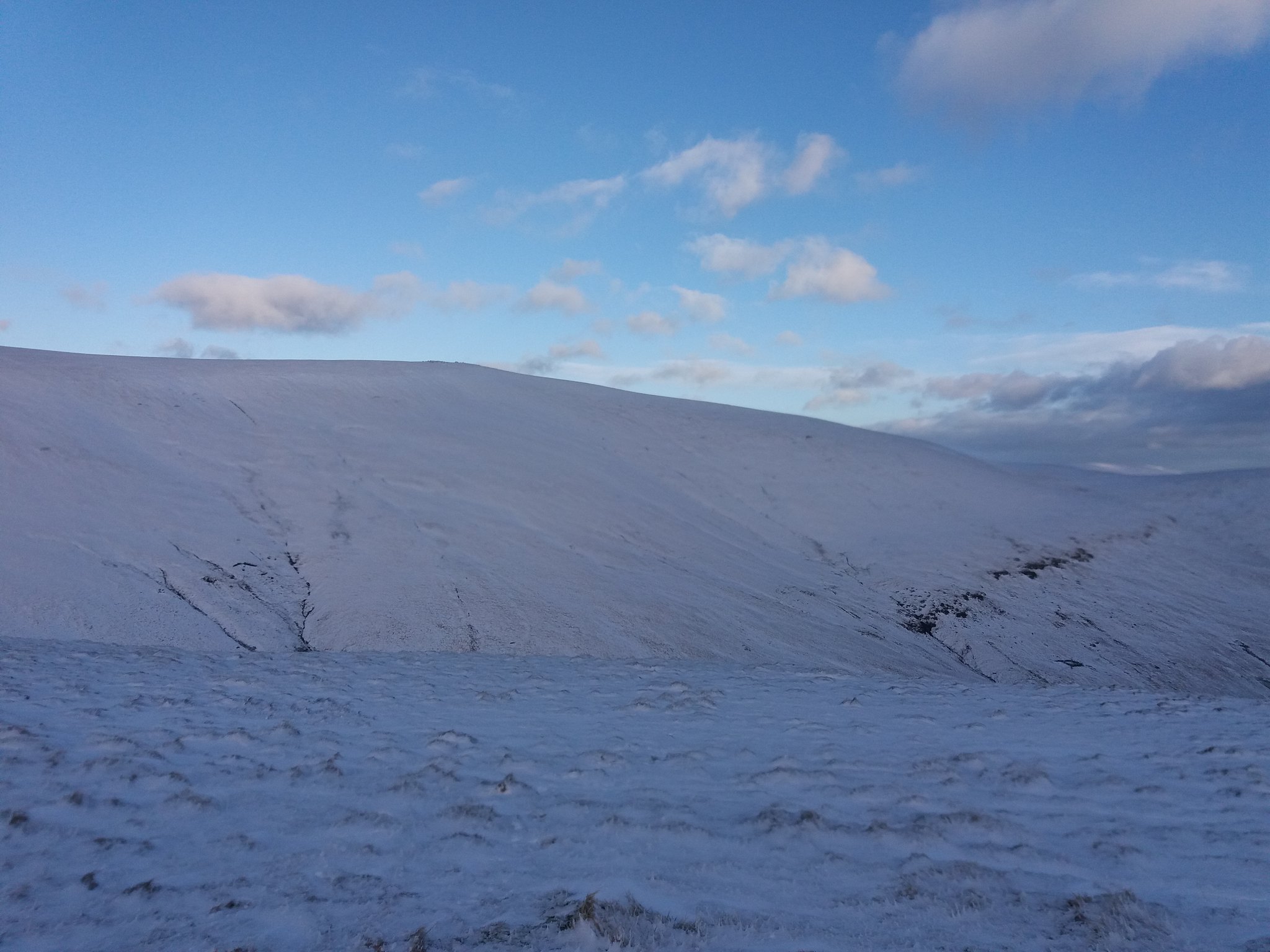
I could have followed the path onward, but I wanted to climb over Wee Torry & Big Torry to my left, so I started to look for the gully that would quickly lead me upwards.
 20180201_113556
 by
IainHamiltonPhotography, on Flickr
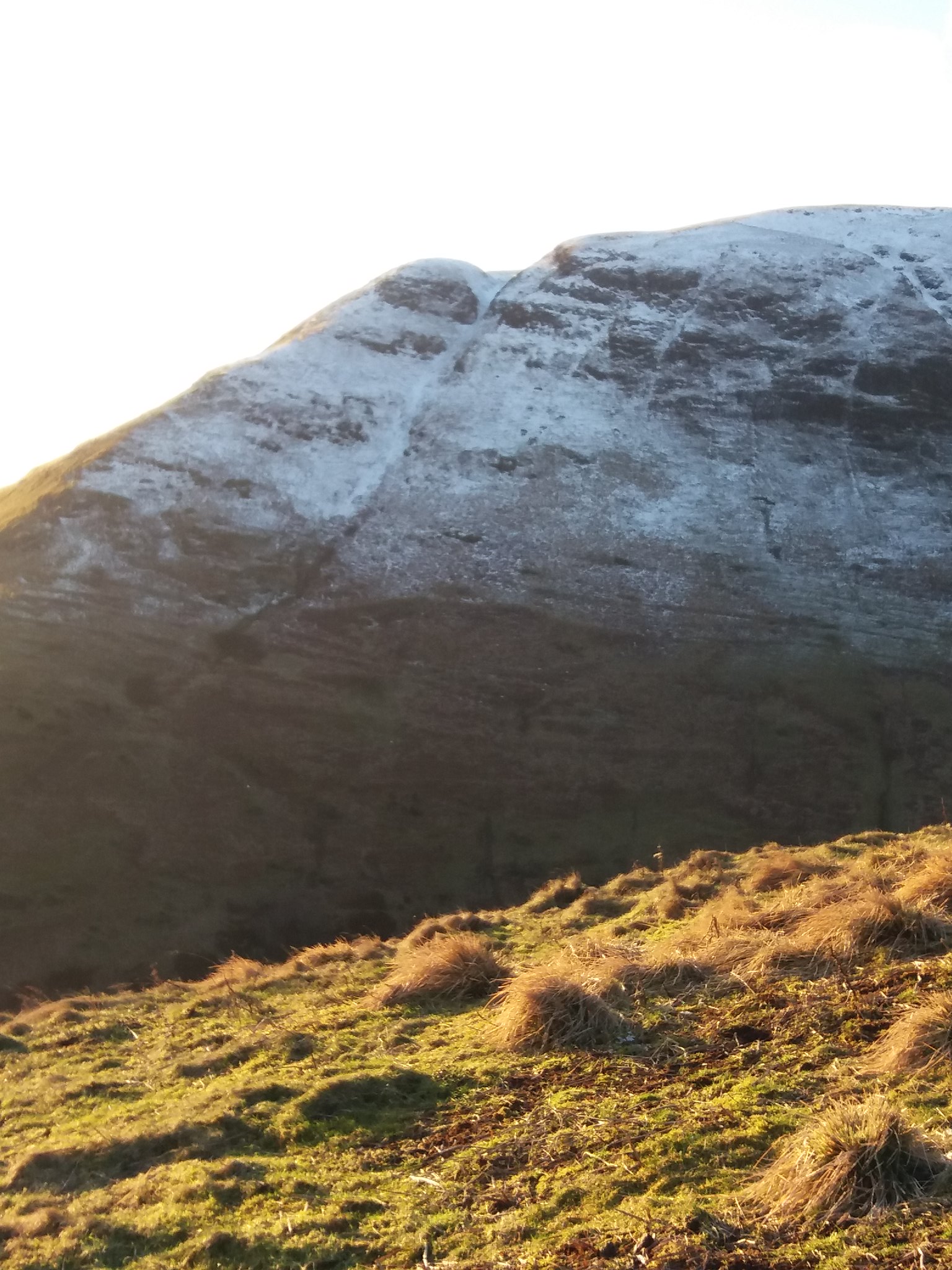
It doesn't look too imposing, so after following a few sheep tracks I was soon at its base.
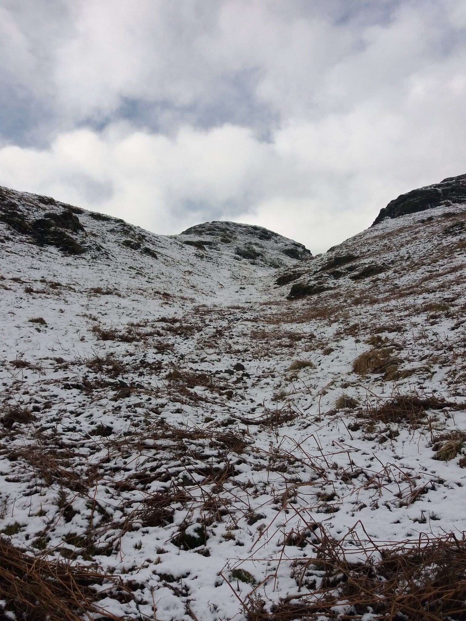 20180201_114406
 by
IainHamiltonPhotography, on Flickr
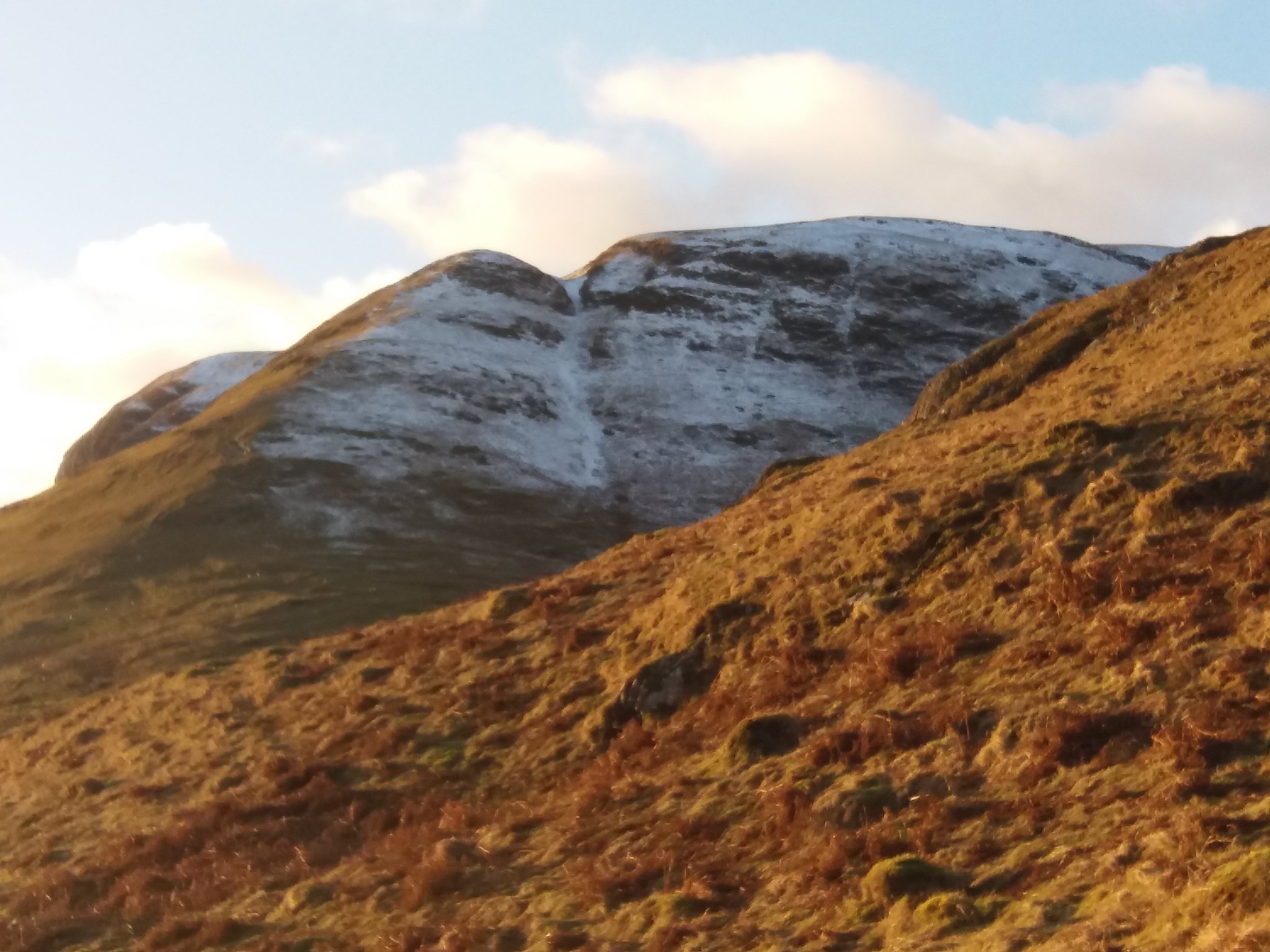
 20180201_115246
 by
IainHamiltonPhotography, on Flickr
OK, that looks a bit more of a task. Oh well I do like a bit of a scramble.
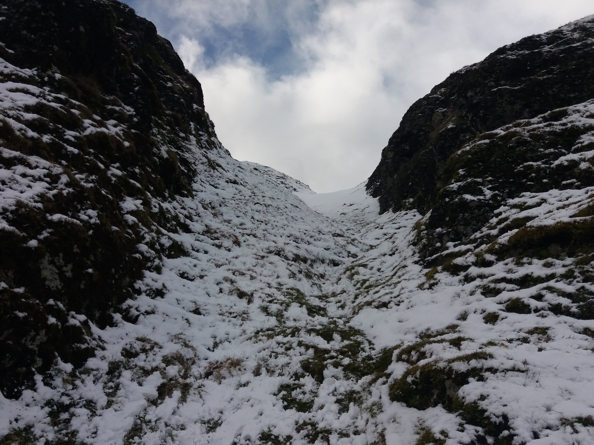 20180201_115523
 by
IainHamiltonPhotography, on Flickr
 20180201_115529
 by
IainHamiltonPhotography, on Flickr
I scrambled upwards like a sheep hands & feet required. If you see my images of this route at the end of the report, it looks a lot different.
I'd reached the top of Wee Torry only to find another, easier, gully to take me upwards to Big Torry.
 20180201_120204
 by
IainHamiltonPhotography, on Flickr
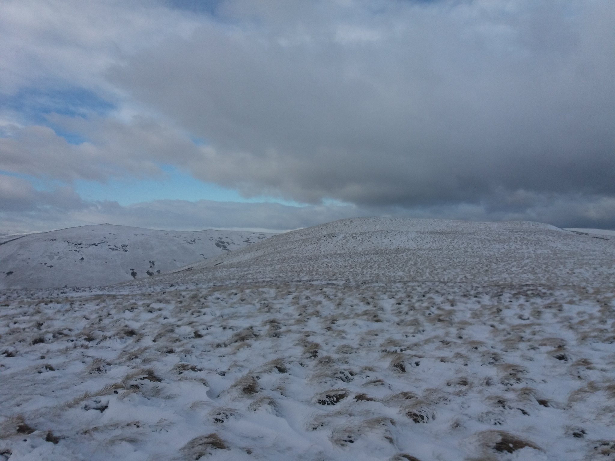
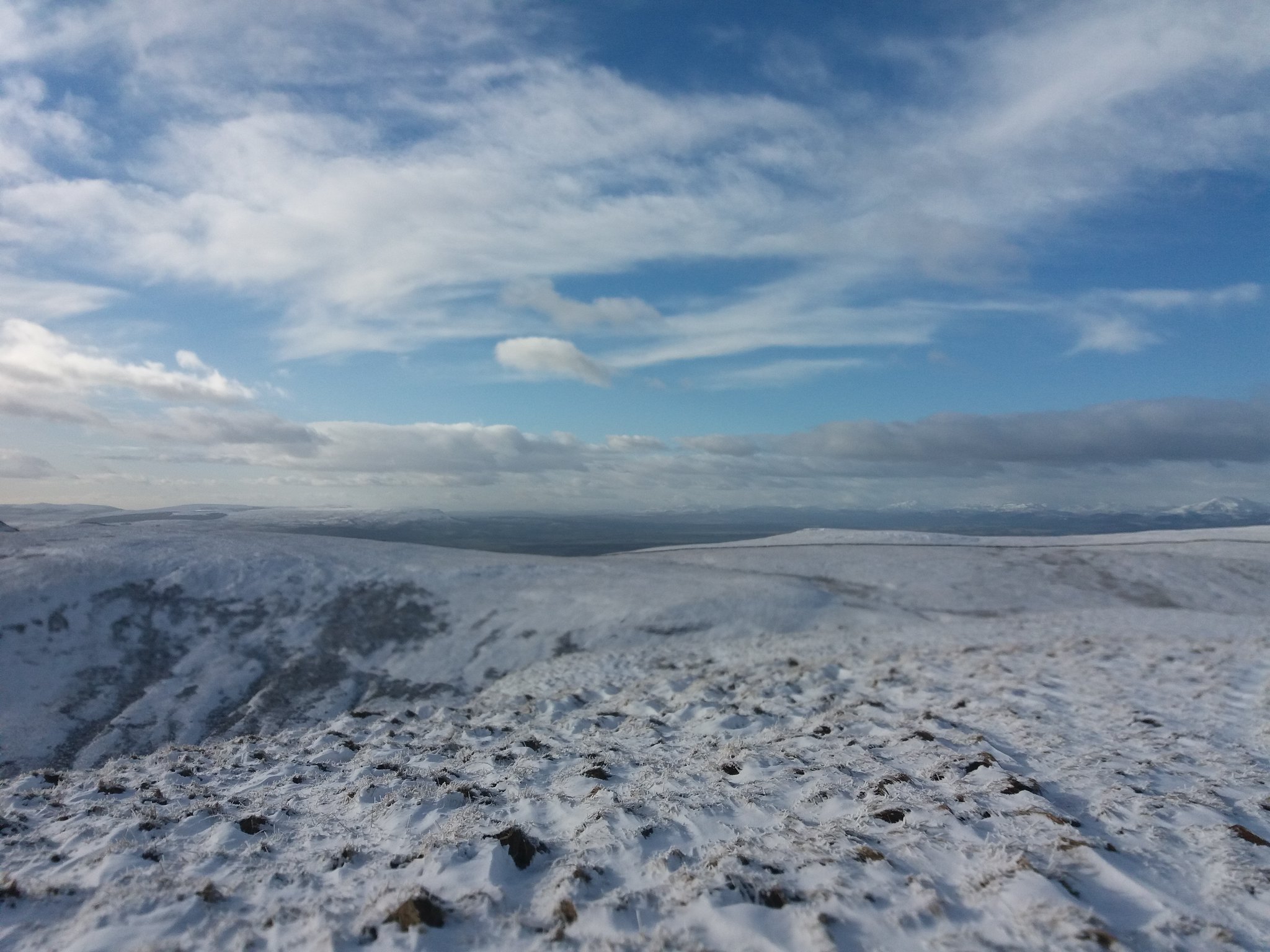
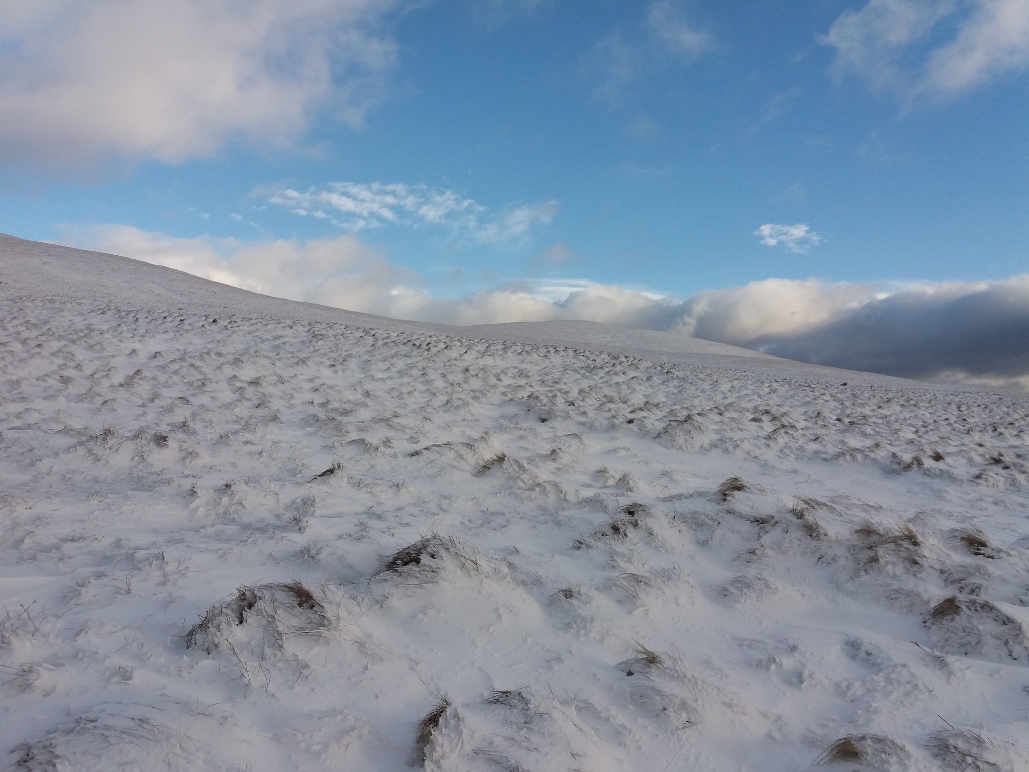
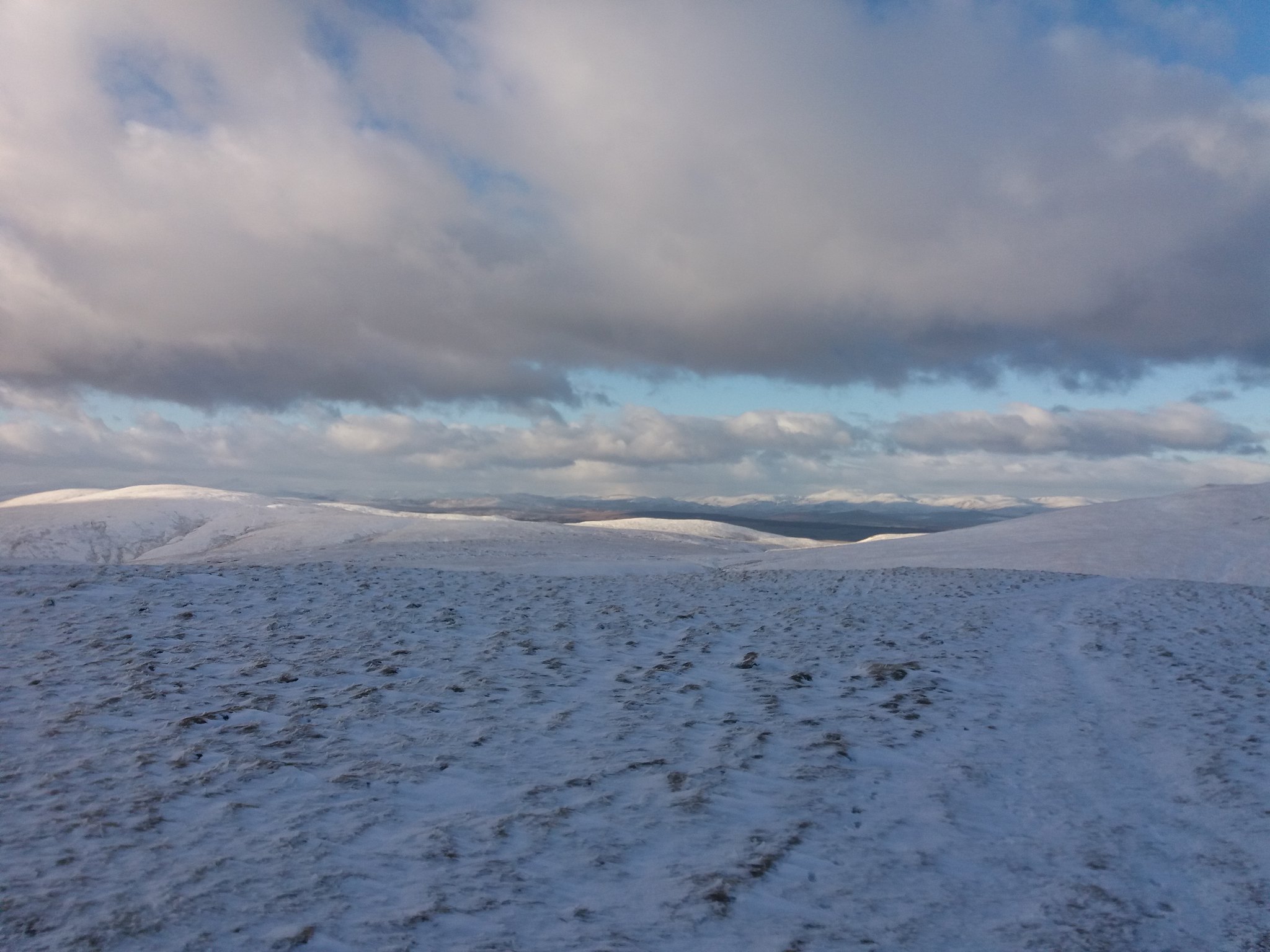
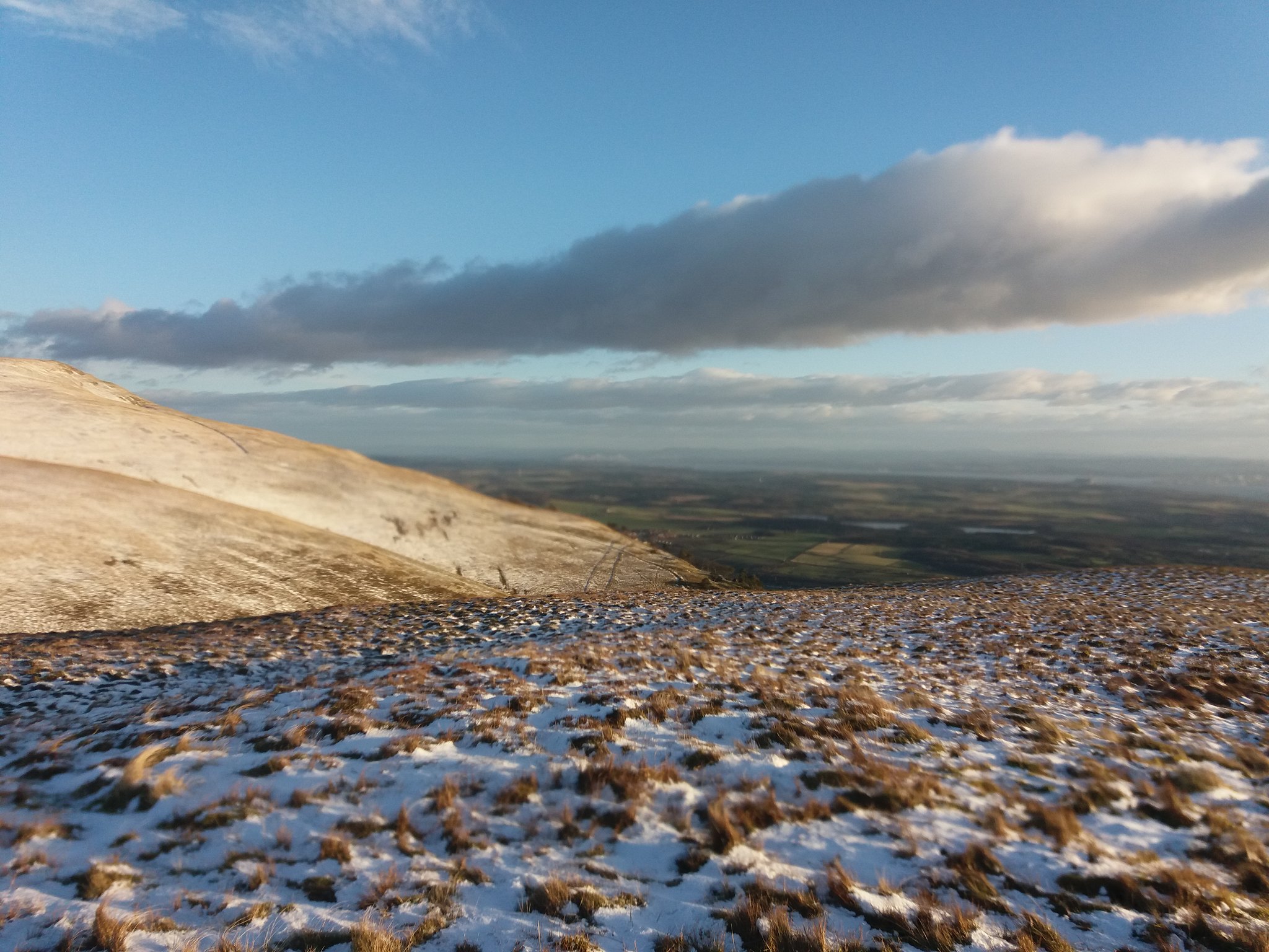
As I come over the top the wind picks up considerably, I start to walk over the small plateau heading towards the climb onto the ridge that leads towards Bengenie Hill, the snow is blowing over the top.
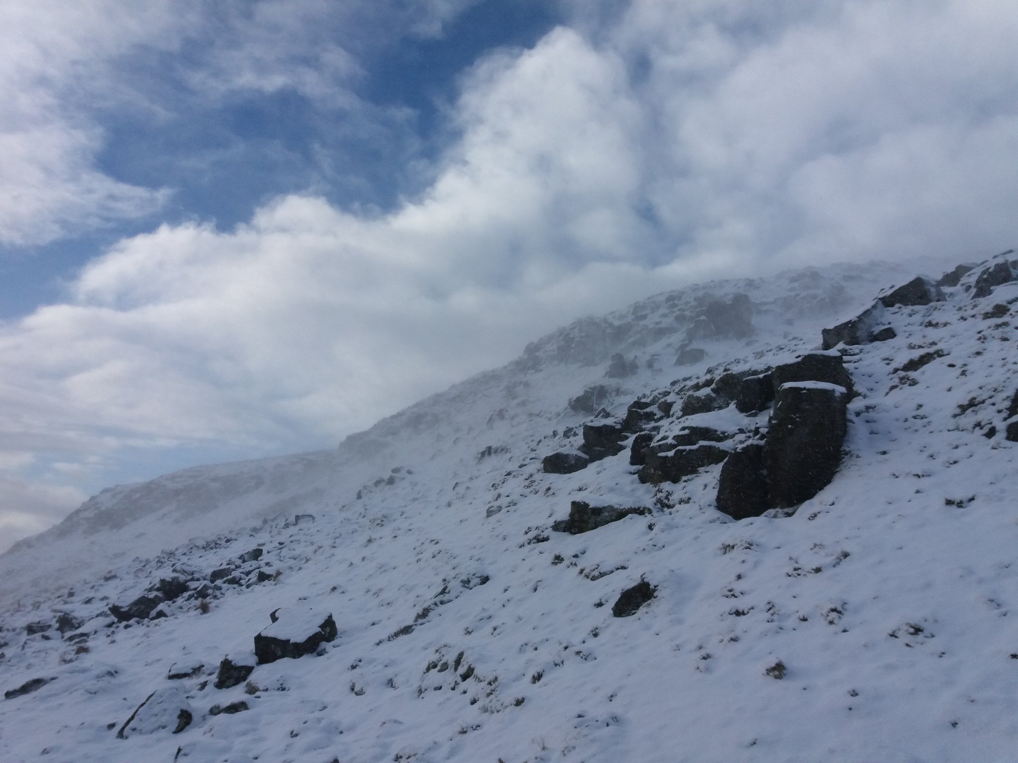 20180201_121854
 by
IainHamiltonPhotography, on Flickr
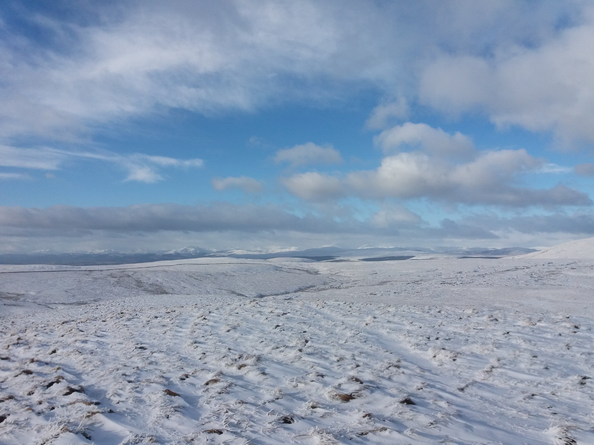
The views have opened up quite suddenly.
 20180201_122628
 by
IainHamiltonPhotography, on Flickr
 20180201_122641
 by
IainHamiltonPhotography, on Flickr
 20180201_122652
 by
IainHamiltonPhotography, on Flickr
 20180201_123508
 by
IainHamiltonPhotography, on Flickr
Wind blown ice on a small cairn.
 20180201_123423
 by
IainHamiltonPhotography, on Flickr
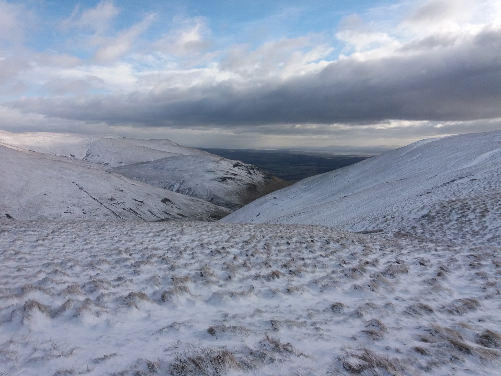
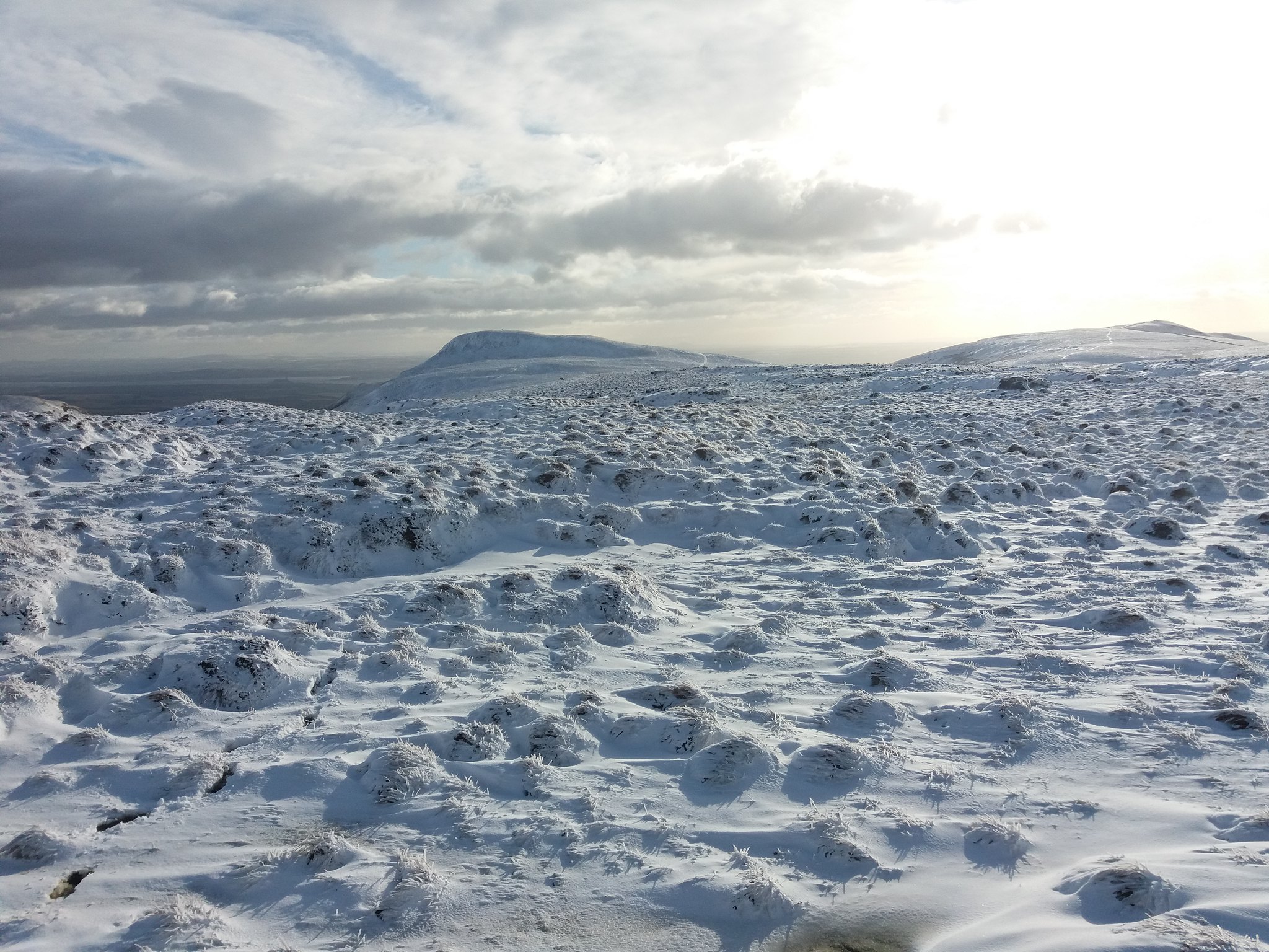
Looking onwards to the rocky top of Bengengie as I start to walk on into the wind.
 20180201_123842
 by
IainHamiltonPhotography, on Flickr
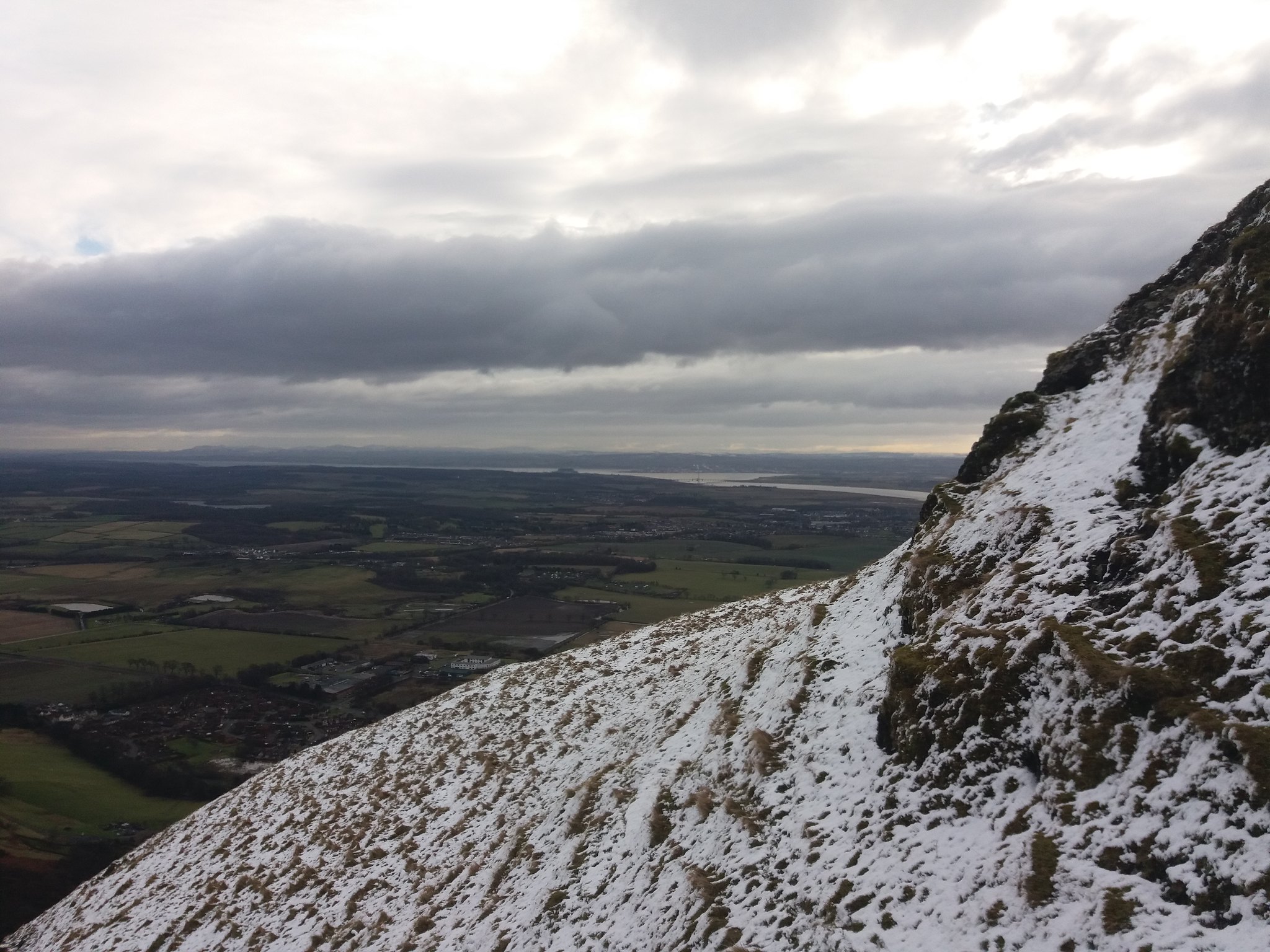
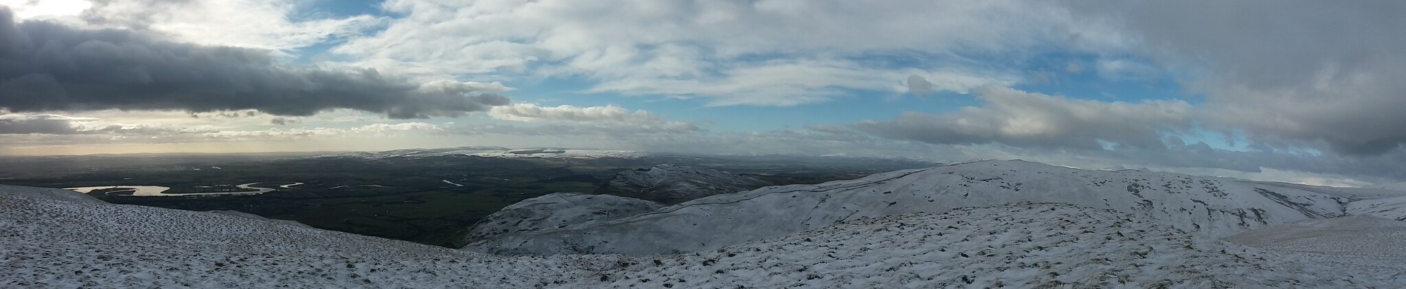
I reach the base of the rocky outcrop that is the top of Bengengie, looking back at last I see blue skies.
 20180201_124510
 by
IainHamiltonPhotography, on Flickr
Looking back at the scramble onto the summit and the view down the glen.
 20180201_130115
 by
IainHamiltonPhotography, on Flickr
 20180201_130145
 by
IainHamiltonPhotography, on Flickr
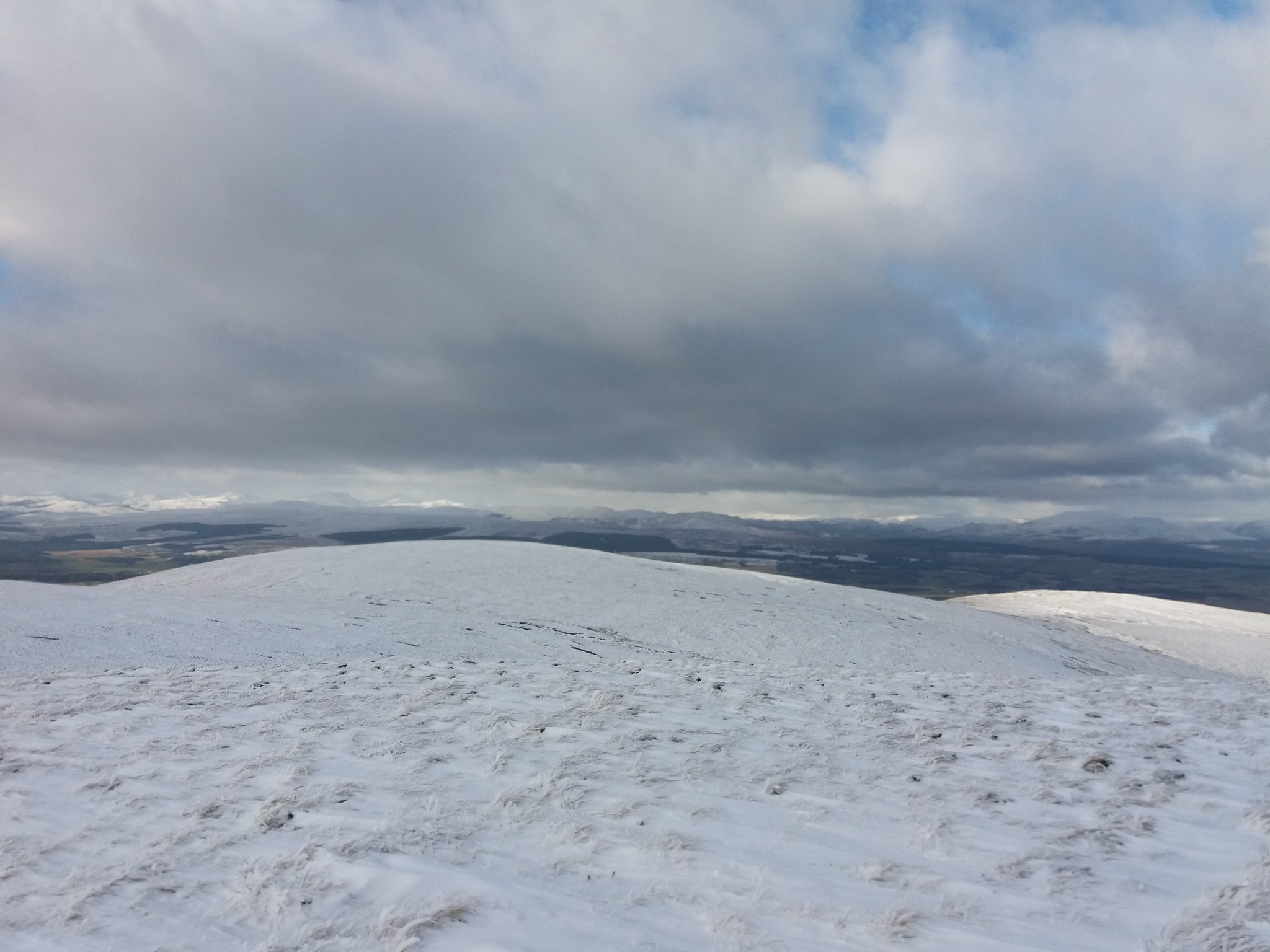
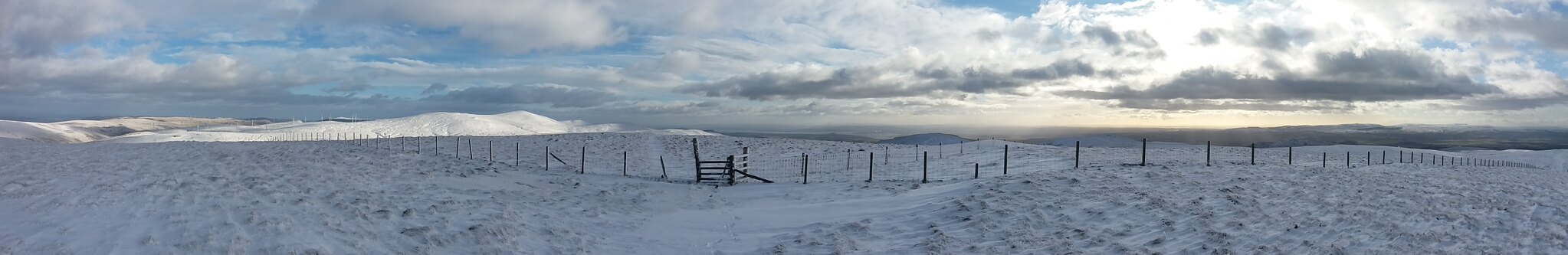
The summit in the wind and the views around me.
 20180201_130254
 by
IainHamiltonPhotography, on Flickr
 20180201_130318
 by
IainHamiltonPhotography, on Flickr
 20180201_130323
 by
IainHamiltonPhotography, on Flickr
 20180201_130327
 by
IainHamiltonPhotography, on Flickr
 20180201_130309
 by
IainHamiltonPhotography, on Flickr
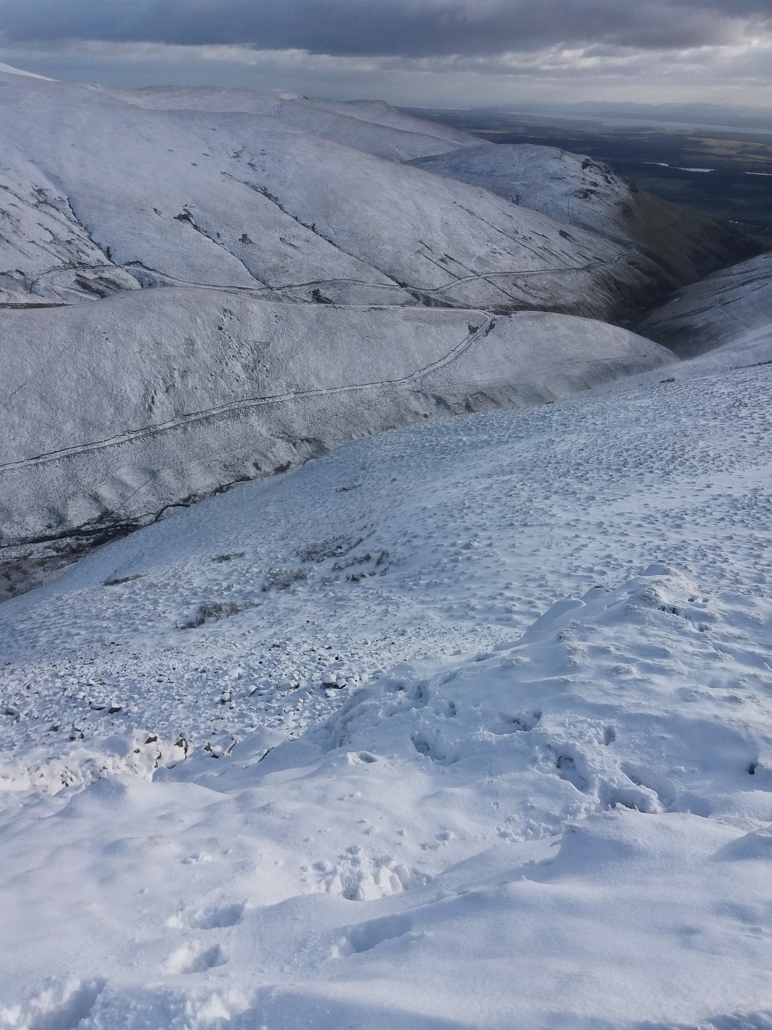
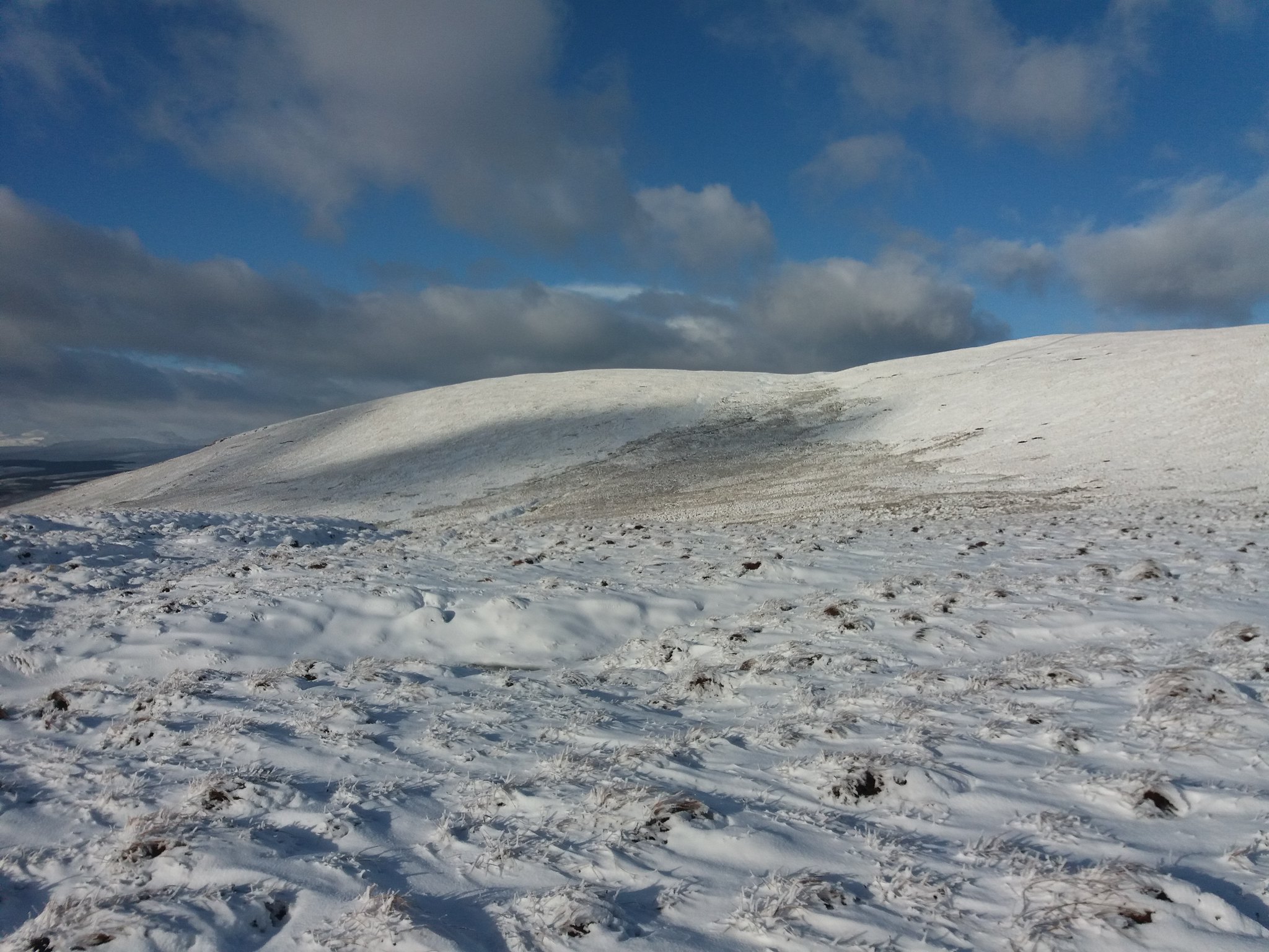
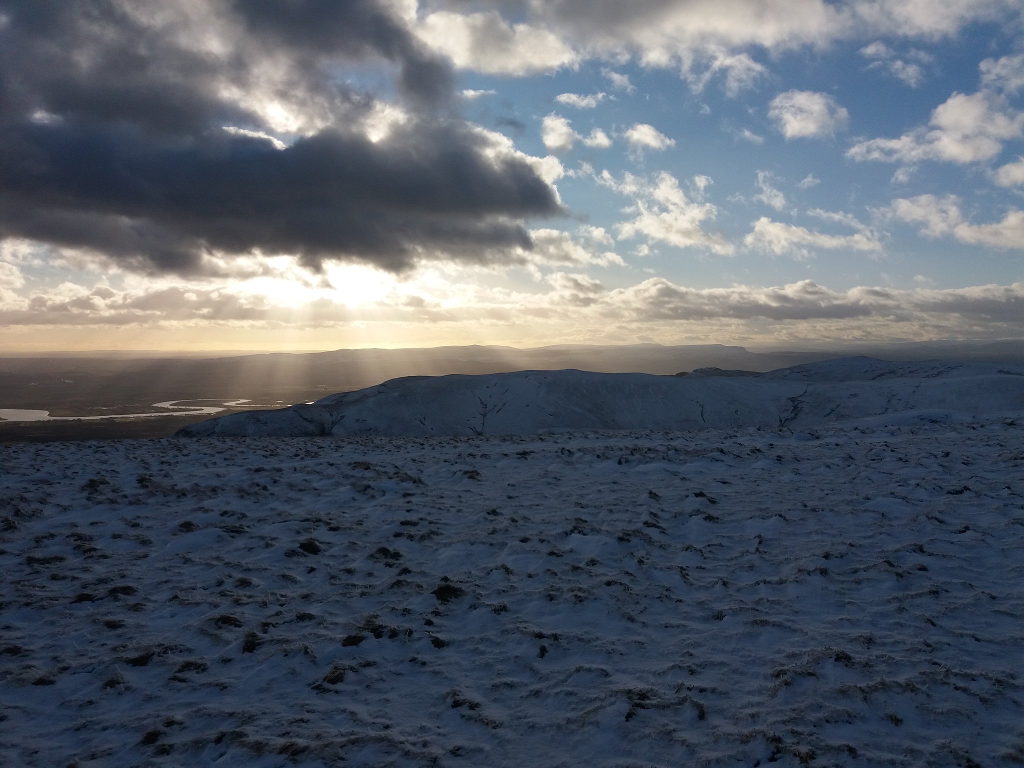
As I near the final climb to Blairdenon I look back over Mentrie Moss.
 20180201_132516
 by
IainHamiltonPhotography, on Flickr
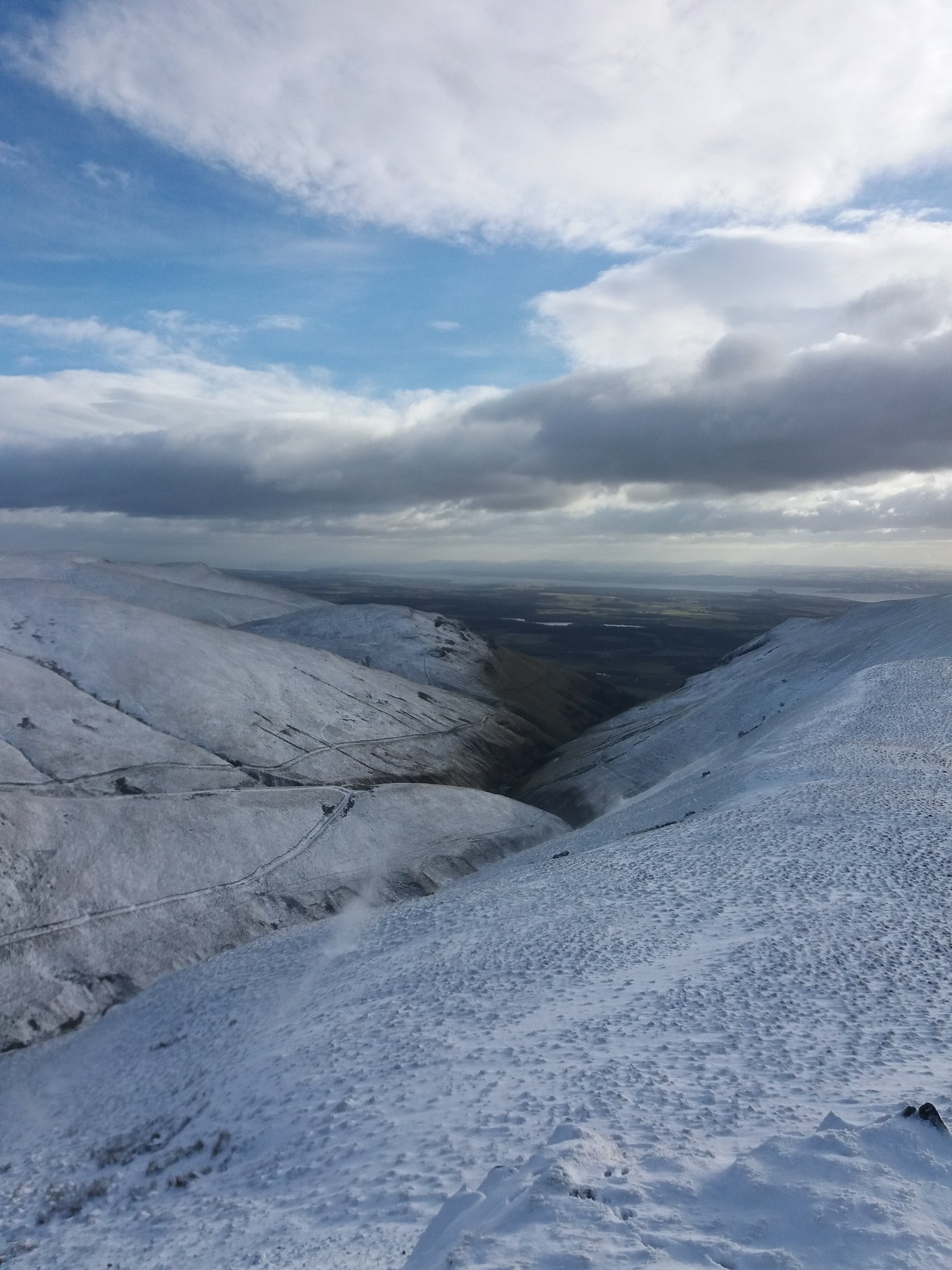
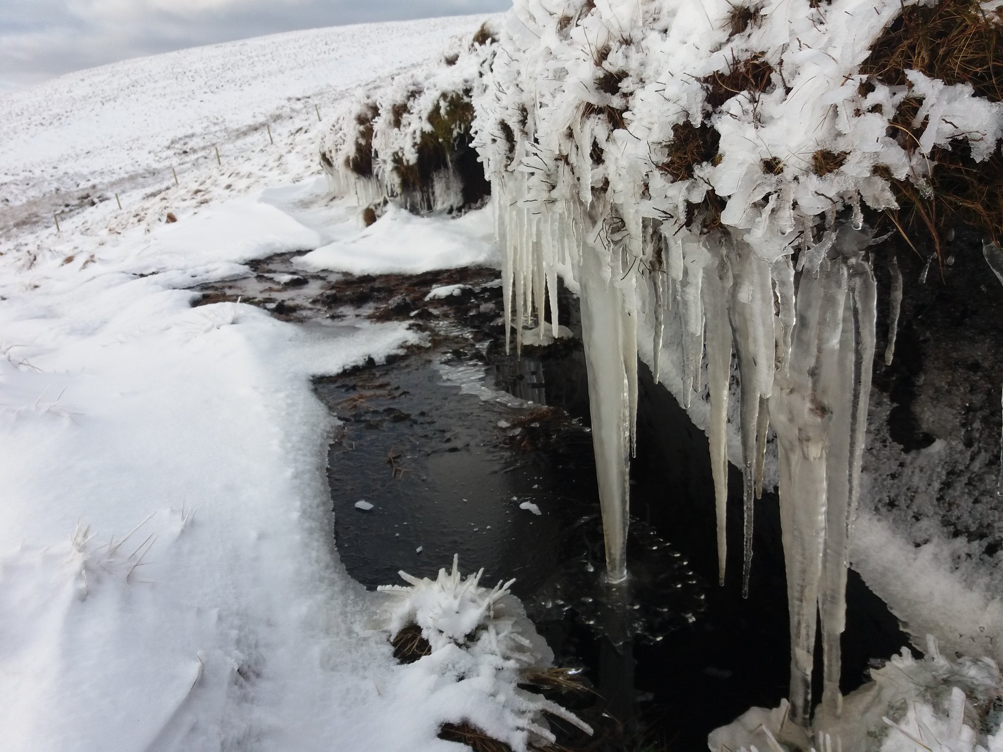
Looking forward I see a dark patch, marsh ?
 20180201_132521
 by
IainHamiltonPhotography, on Flickr
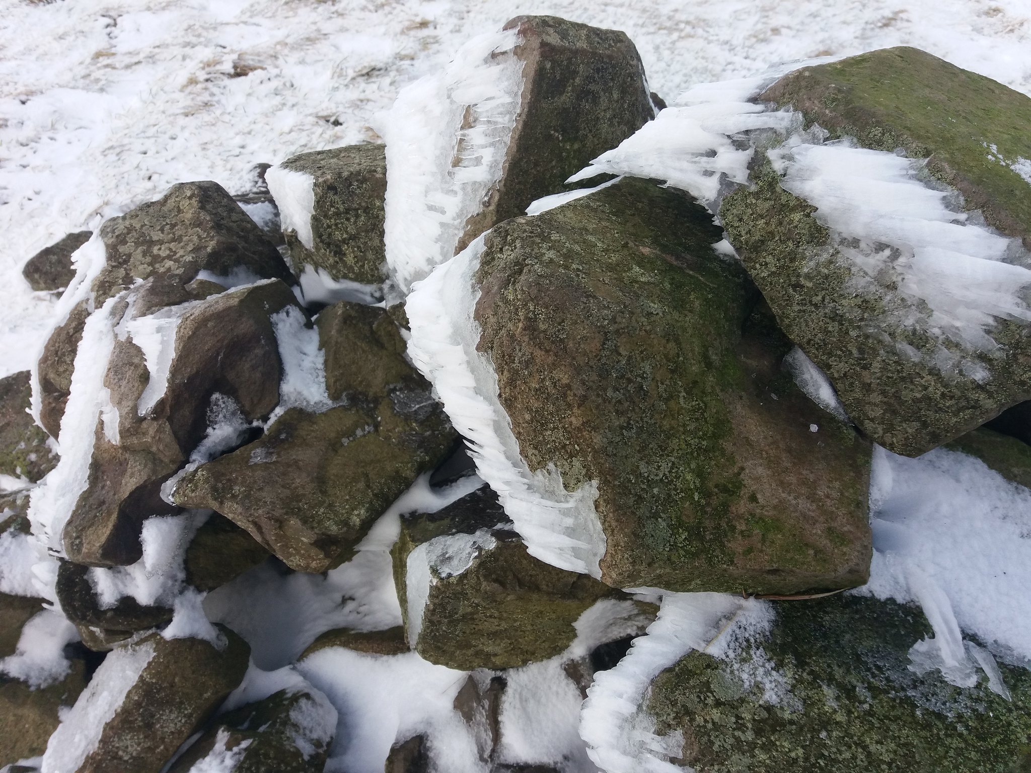
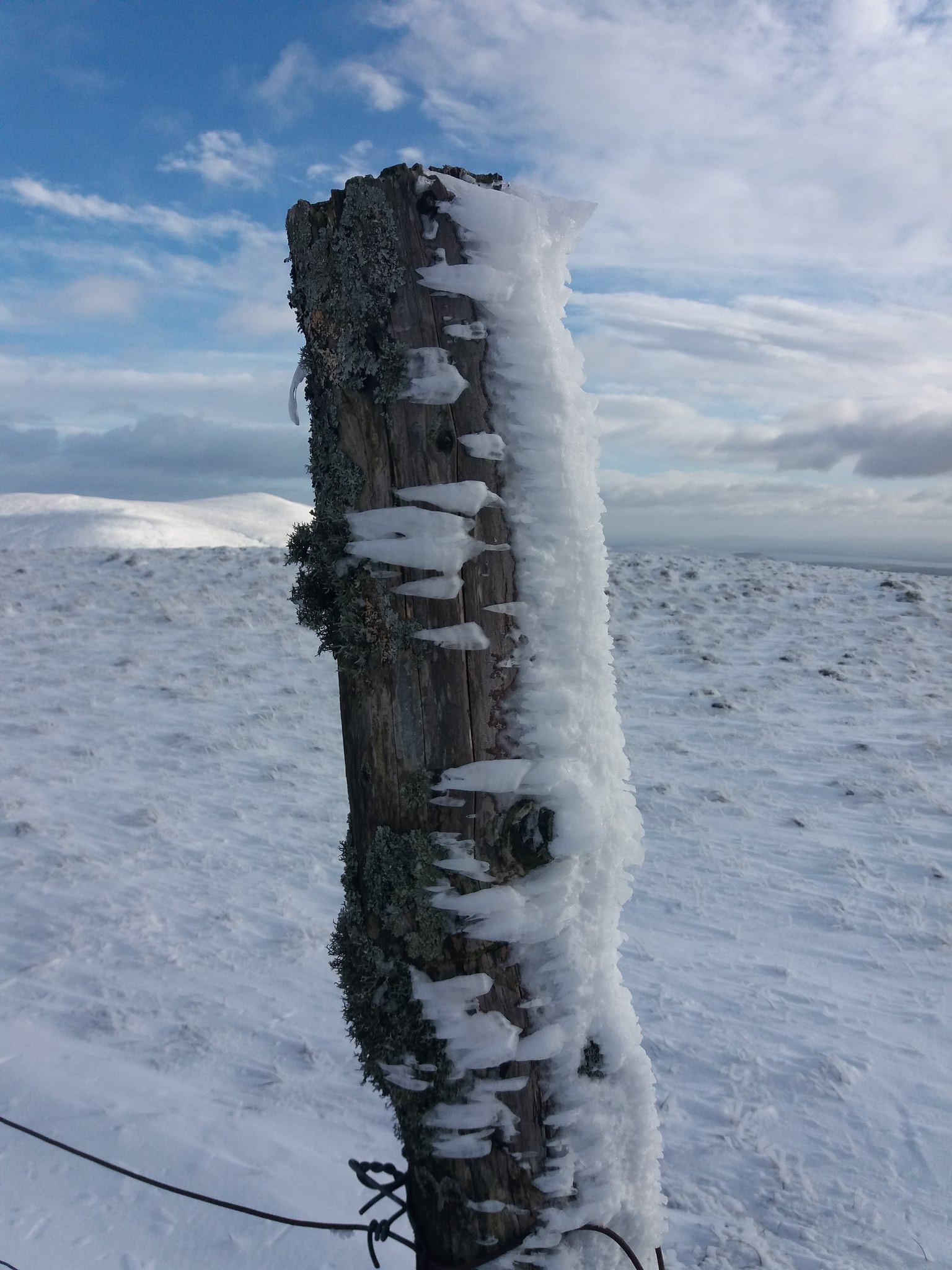
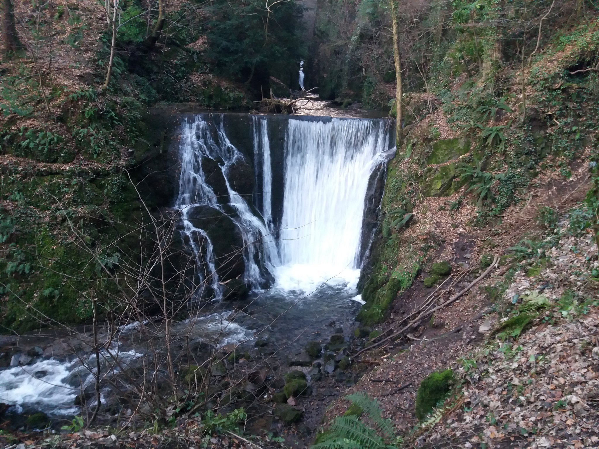
I was right, water !! some stunning icicles though.
 20180201_133938
 by
IainHamiltonPhotography, on Flickr
Trying to skirt the marsh area as much as possible, I climb the gradual rise onto Blairdenon, this hill doesn't really have a summit as such, it's just a vast flatness on top, a linear feature crosses the high point on the OS map, so I find that and follow it till I reach what I think is the highest point.
 20180201_134632
 by
IainHamiltonPhotography, on Flickr
N, E, S & W.
 20180201_134642
 by
IainHamiltonPhotography, on Flickr
 20180201_134645
 by
IainHamiltonPhotography, on Flickr
 20180201_134649
 by
IainHamiltonPhotography, on Flickr
 20180201_134653
 by
IainHamiltonPhotography, on Flickr
 20180201_134717
 by
IainHamiltonPhotography, on Flickr
More sideways blown ice.
 20180201_134848
 by
IainHamiltonPhotography, on Flickr
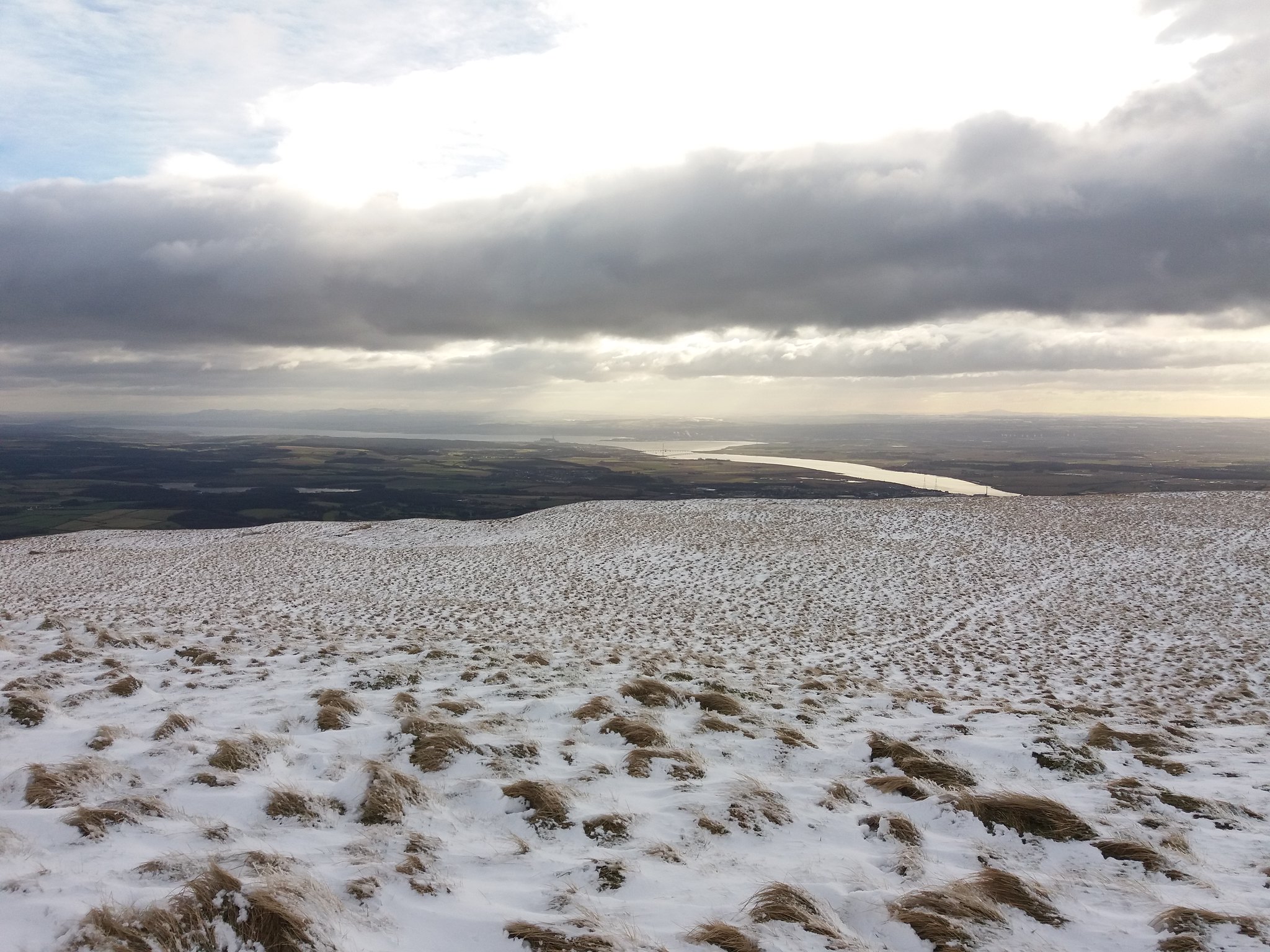
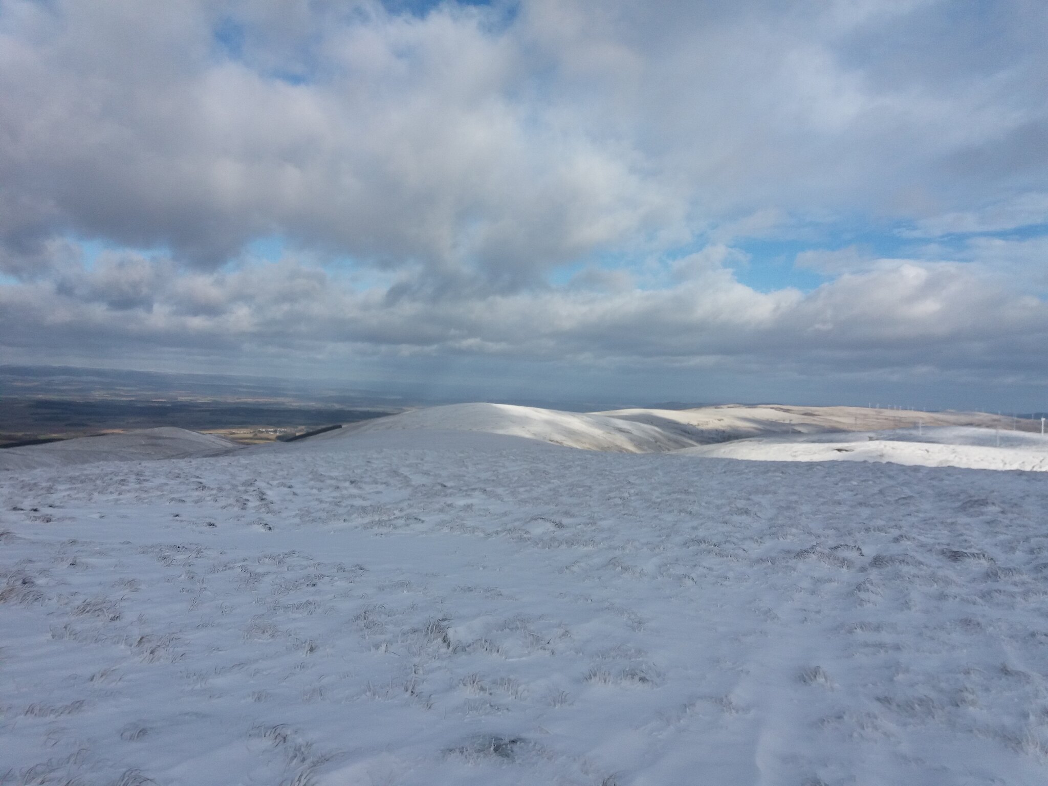
Looking across Alva Moss at Burnfoot Wind Farm, Ben Buck & Ben Ever.
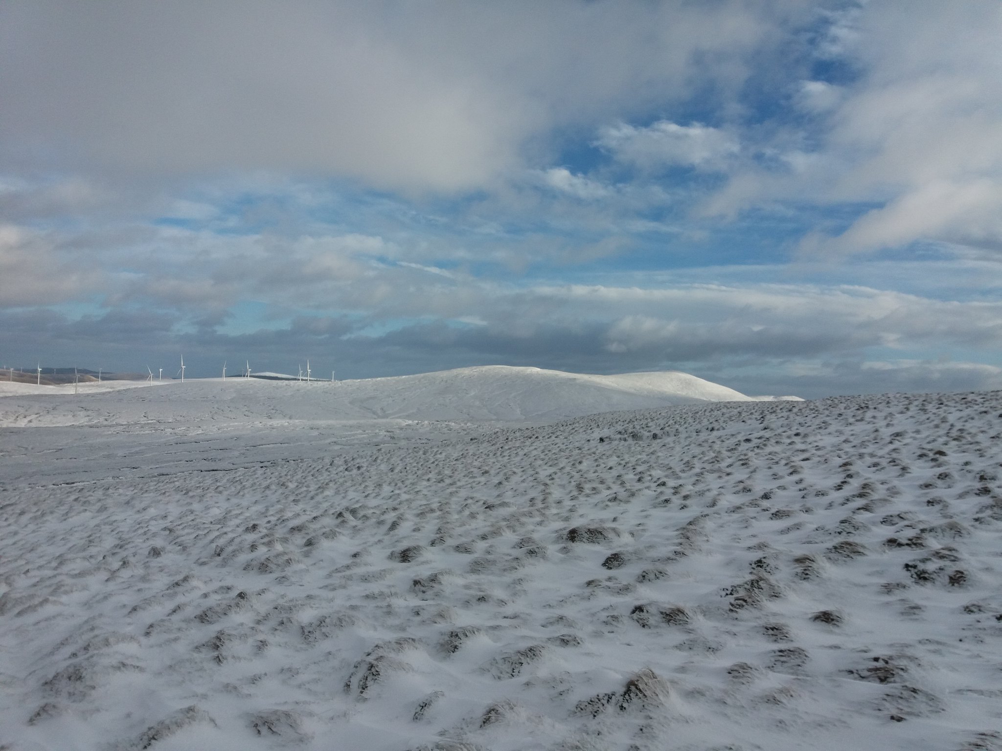 20180201_135302
 by
IainHamiltonPhotography, on Flickr
The snow is unbroken up here, but I have seen quite a few animal tracks, a fox or something maybe ? I'm not sure, its not cloven so it cant be a sheep.
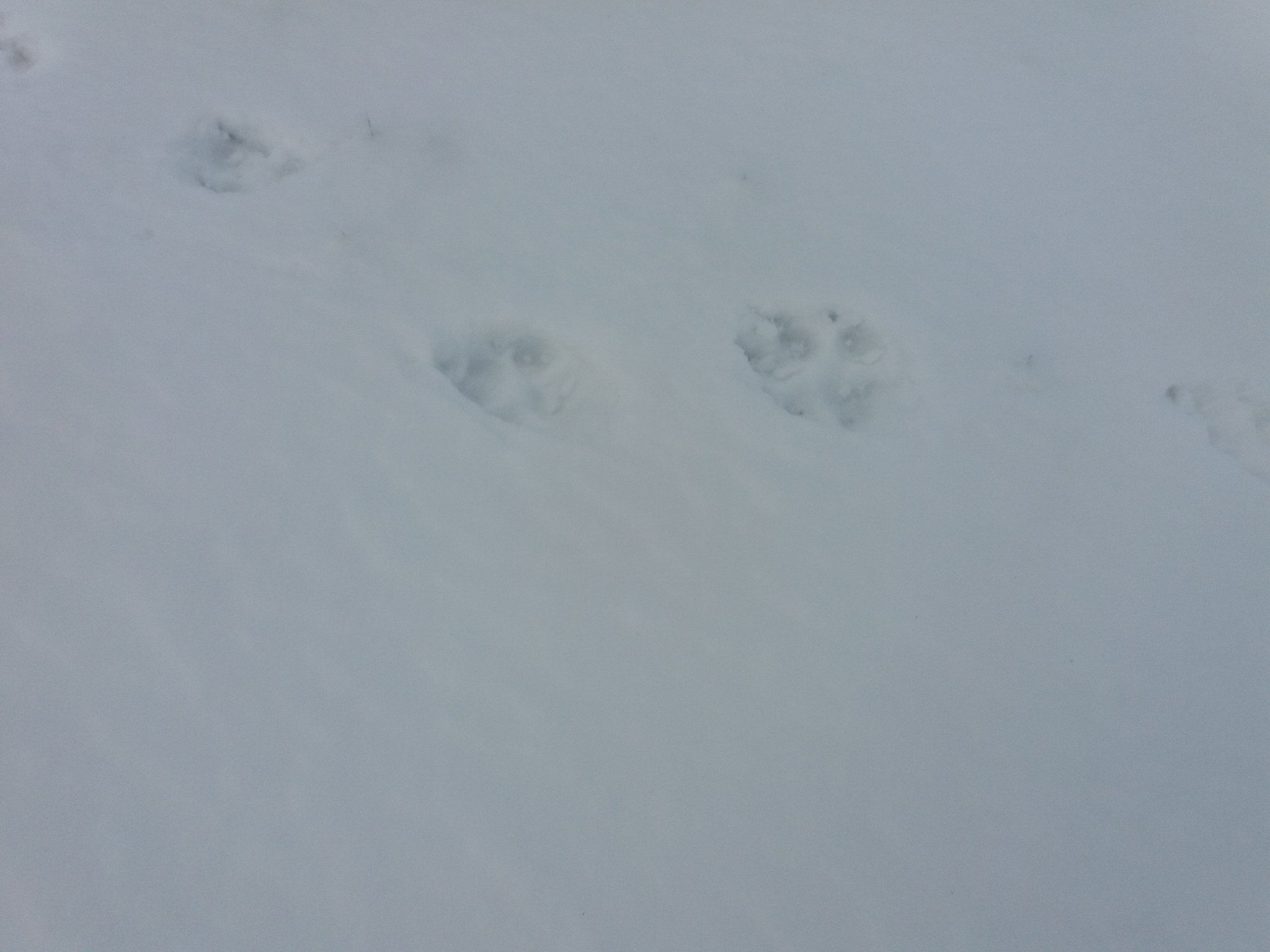 20180201_135639
 by
IainHamiltonPhotography, on Flickr
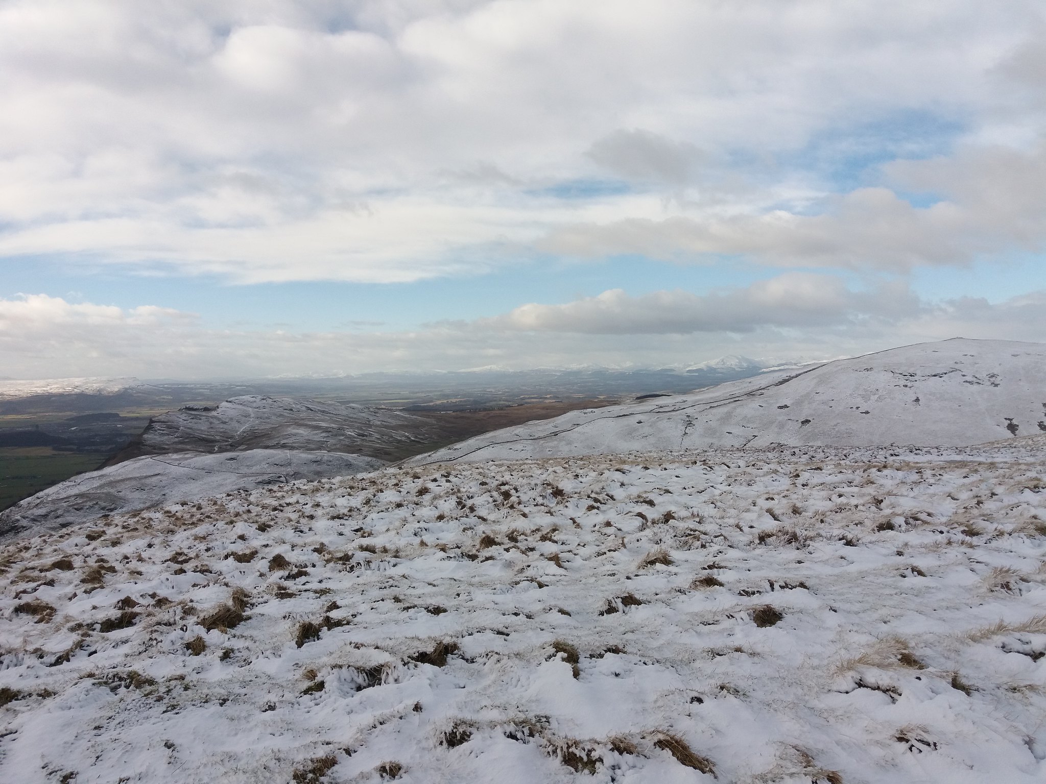
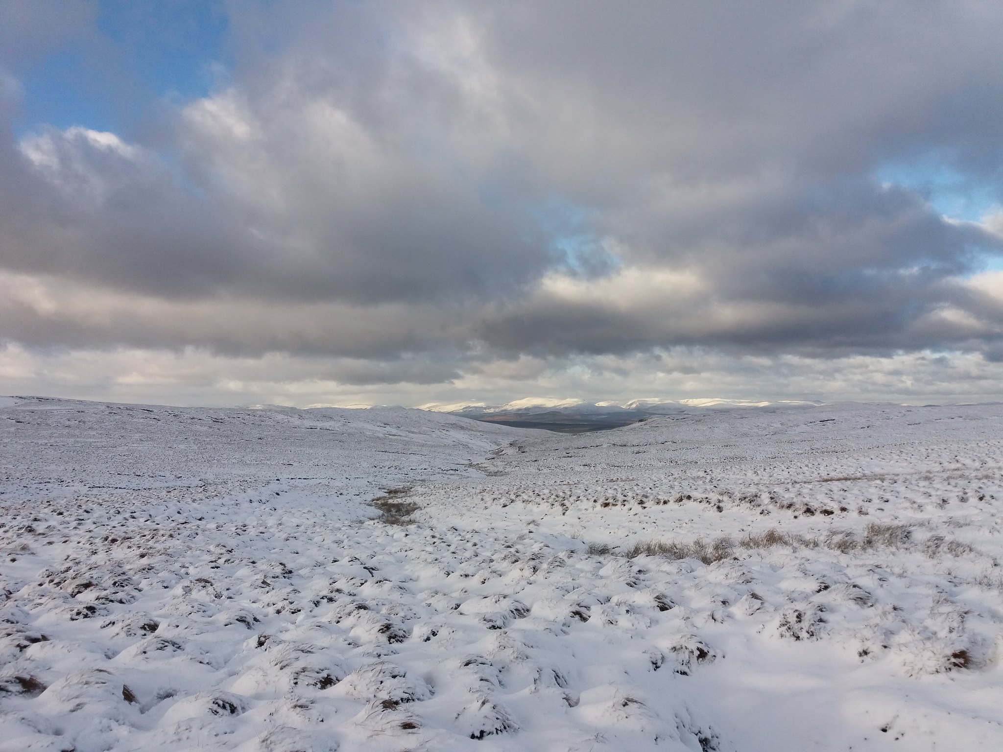
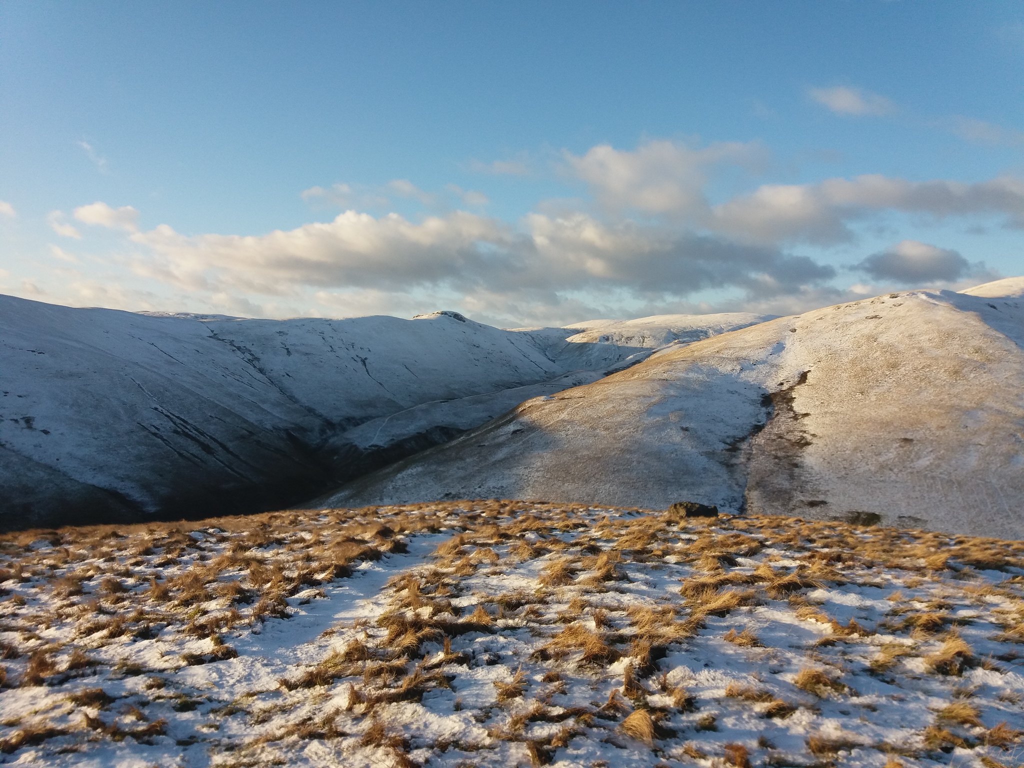
The next hour was spent navigating my way across Alva Moss, avoiding hidden streams & marshes it was slow going. I couldn't take a straight path, I just tried the best I could to follow a contour line around Ben Buck, at least the views were open and calming.
 20180201_142351
 by
IainHamiltonPhotography, on Flickr
 20180201_143959
 by
IainHamiltonPhotography, on Flickr
The views north were stunning.
 20180201_144845
 by
IainHamiltonPhotography, on Flickr
Alva Moss just carries on & on.
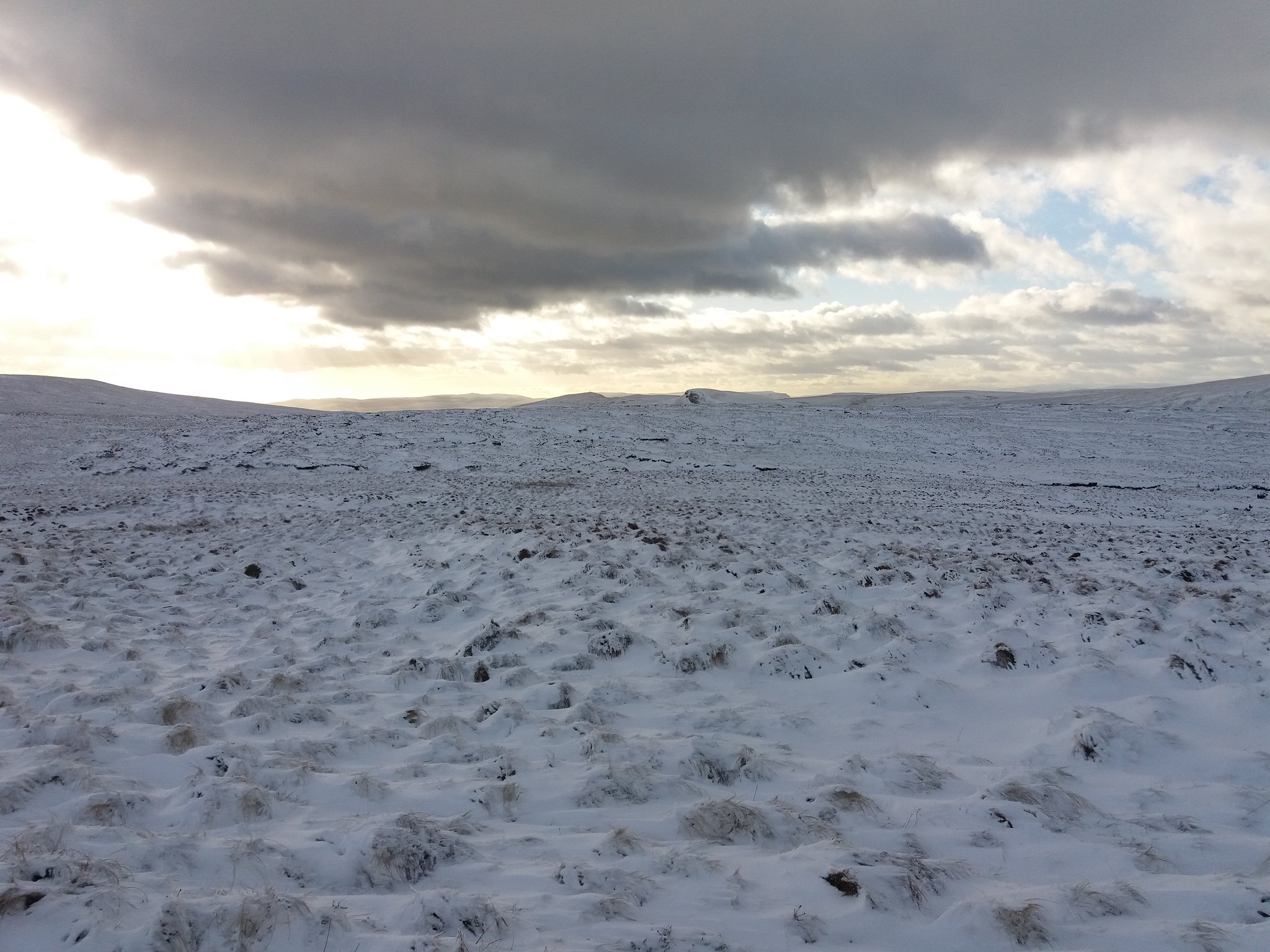 20180201_145353
 by
IainHamiltonPhotography, on Flickr
 20180201_145259
 by
IainHamiltonPhotography, on Flickr
Watch out for the sudden holes in the snow, with a burn at the bottom. This one was about 3 foot deep.
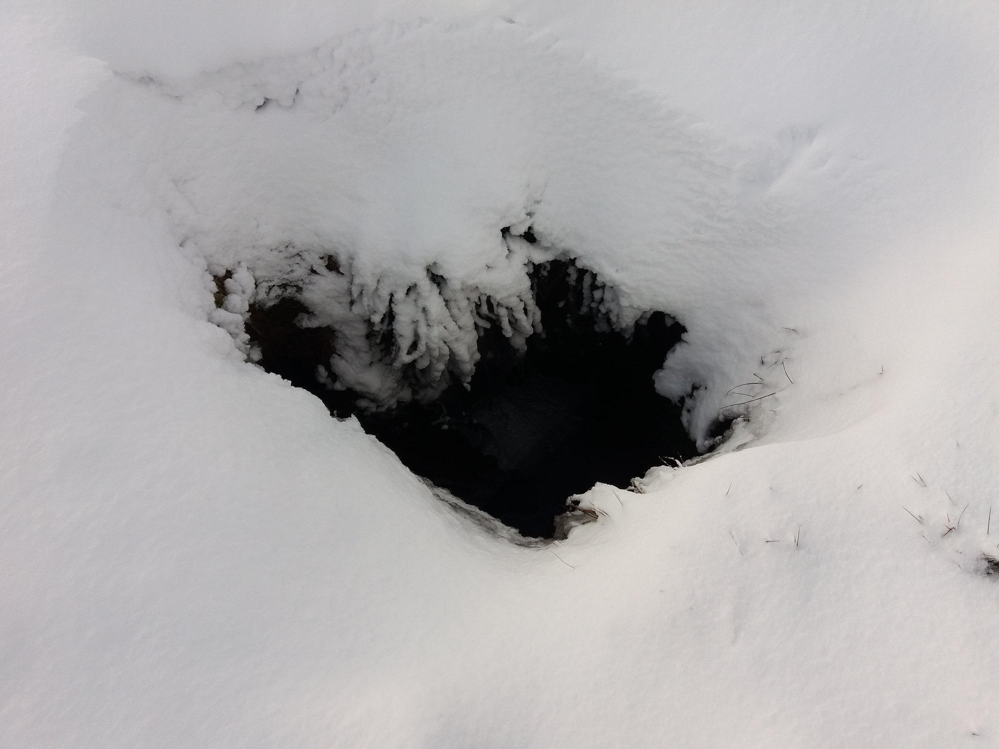 20180201_142458
 by
IainHamiltonPhotography, on Flickr
At last !! a view of Ben Ever. I nearly start running at the joy of being able to get away from the flatness around me.
 20180201_145340
 by
IainHamiltonPhotography, on Flickr
At last I top Ben Ever.
 20180201_151356
 by
IainHamiltonPhotography, on Flickr
N, E, S & W
 20180201_151408
 by
IainHamiltonPhotography, on Flickr
 20180201_151414
 by
IainHamiltonPhotography, on Flickr
 20180201_151419
 by
IainHamiltonPhotography, on Flickr
 20180201_151430
 by
IainHamiltonPhotography, on Flickr
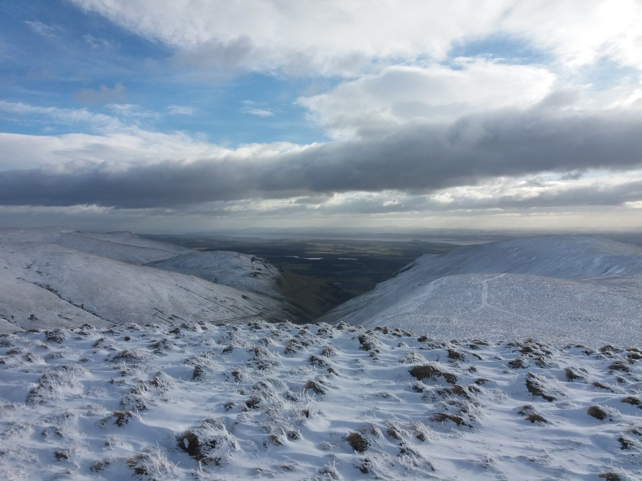
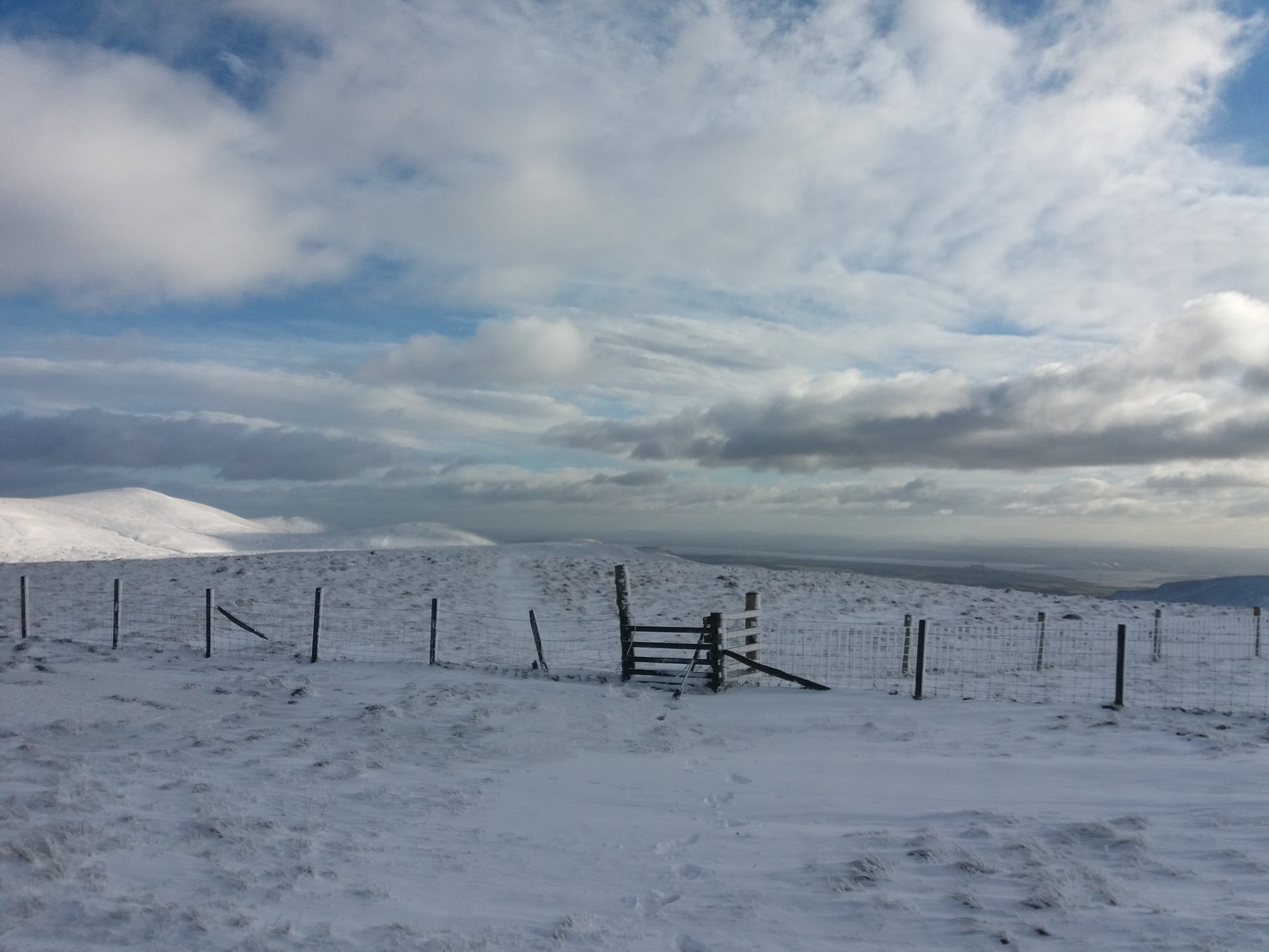
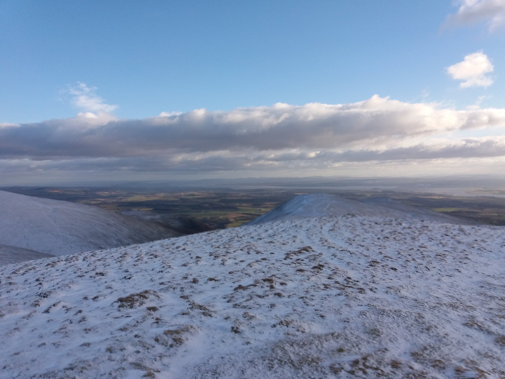
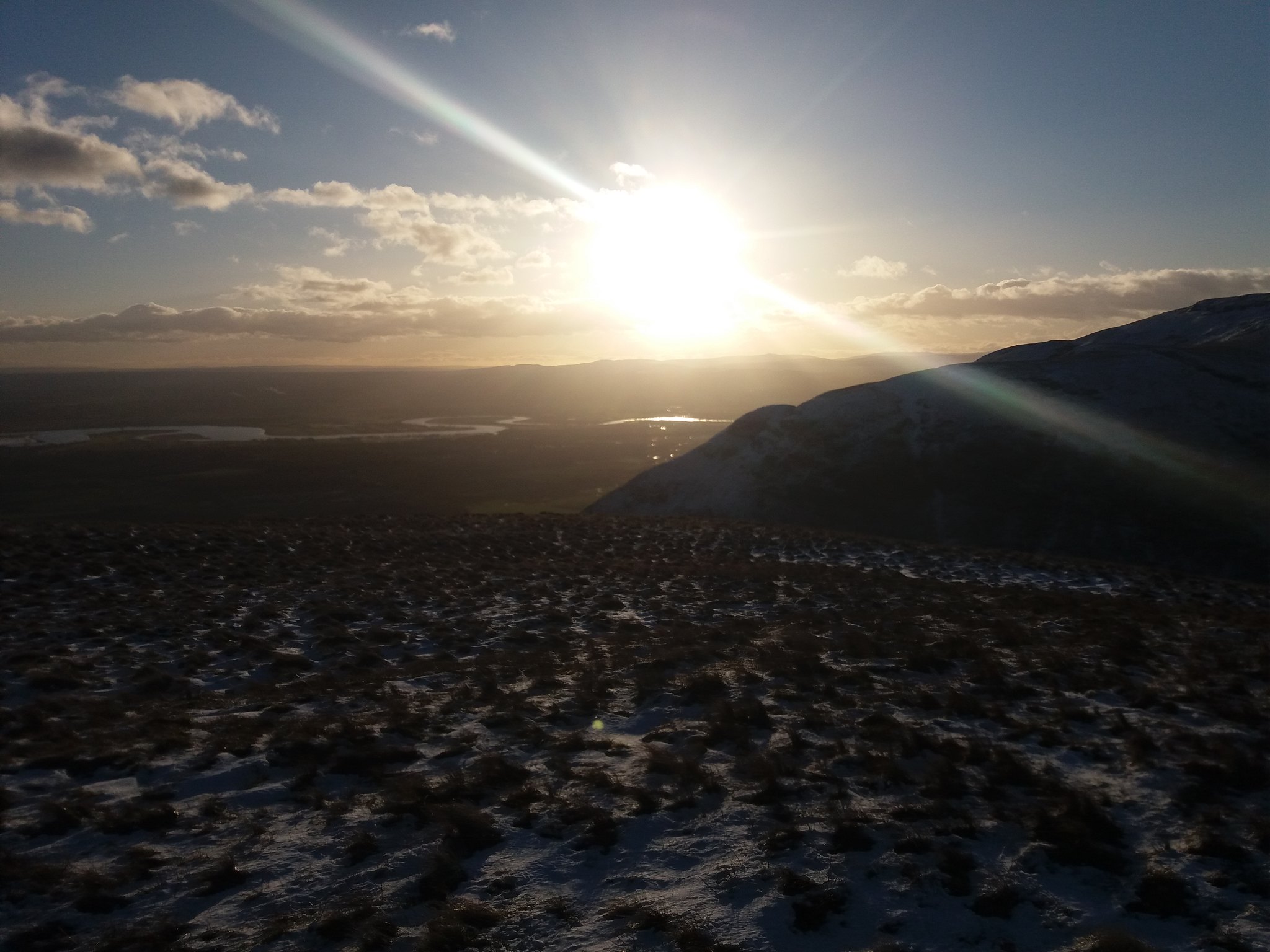
The sun is getting ready to set, but I'm nearly home, only The Nebit left, It's not long before it appears in front of me.
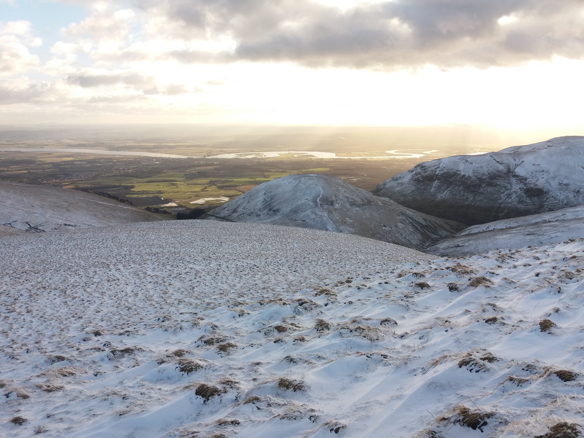 20180201_151712
 by
IainHamiltonPhotography, on Flickr
I make my way down the slopes of Ben Ever and quickly start to climb the steep path up The Nebit. I look back at Glen Winnel valley, Craighorn left Ben Ever right.
 20180201_153519
 by
IainHamiltonPhotography, on Flickr
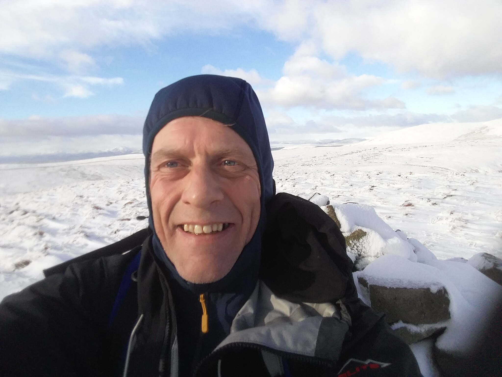
At last I reach the top, the wind blowing a gale.
 20180201_154347
 by
IainHamiltonPhotography, on Flickr
As the sun continues to fall the views around me are breathtaking in the strange eerie light of dusk
 20180201_154355
 by
IainHamiltonPhotography, on Flickr
 20180201_154359
 by
IainHamiltonPhotography, on Flickr
 20180201_154405
 by
IainHamiltonPhotography, on Flickr
 20180201_154412
 by
IainHamiltonPhotography, on Flickr
 20180201_154437
 by
IainHamiltonPhotography, on Flickr
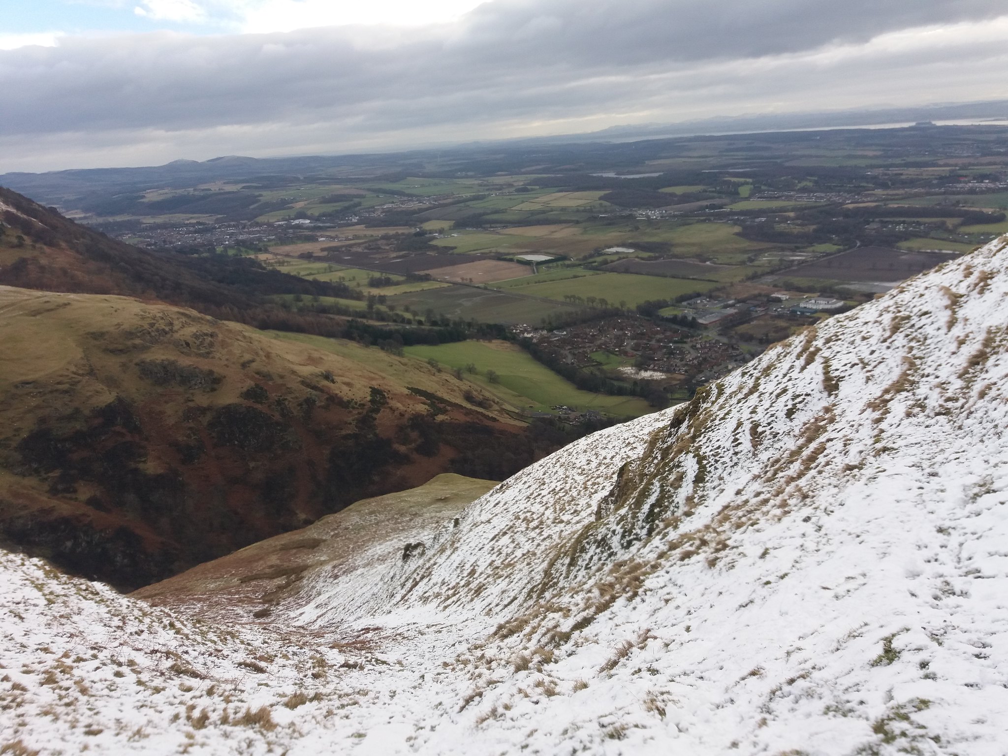
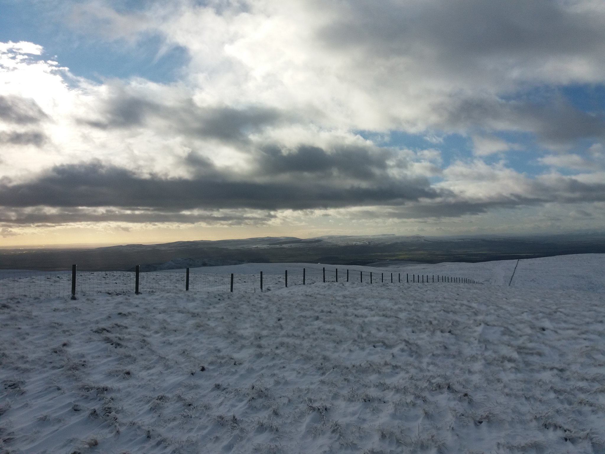
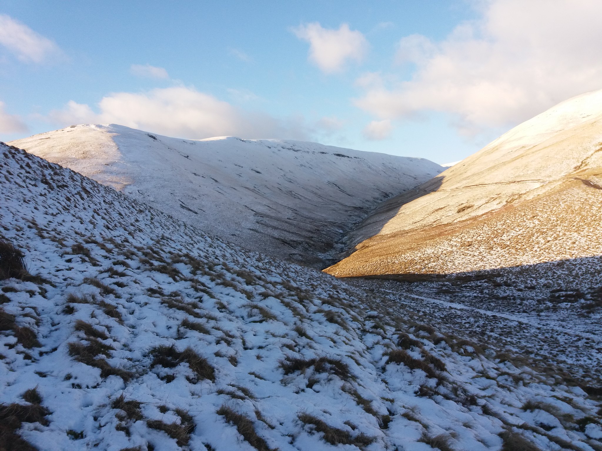
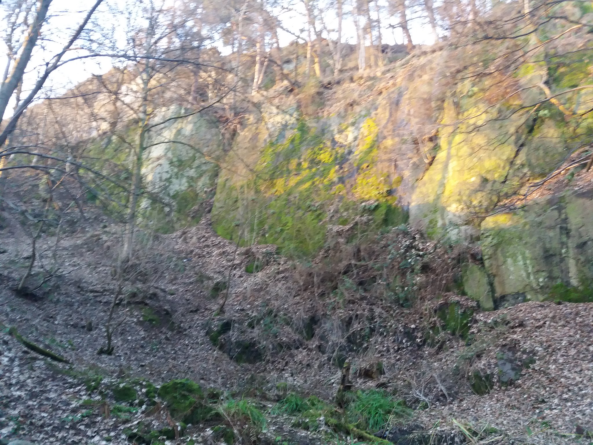
As a make my way down from The Nebit I look right and get to see just how steep that initial gully I climbed was.
 20180201_155722
 by
IainHamiltonPhotography, on Flickr
 20180201_160805
 by
IainHamiltonPhotography, on Flickr
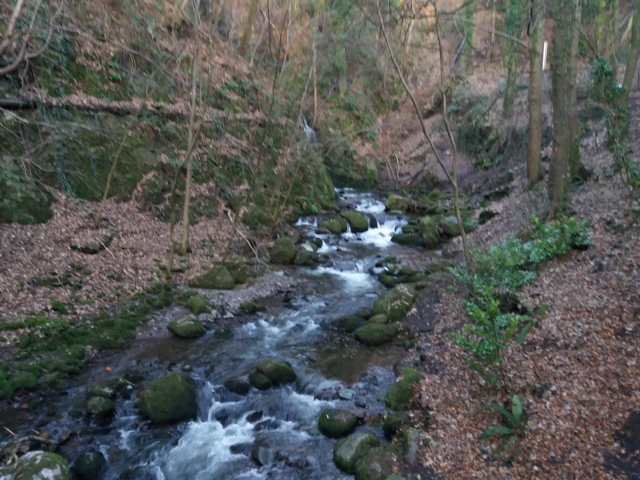
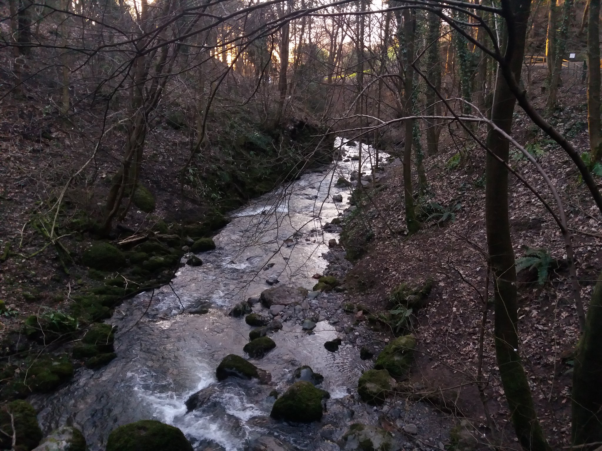
I make my way downwards, passing through the Alva Glen as I head back towards the car.
 20180201_161640
 by
IainHamiltonPhotography, on Flickr
 20180201_161833
 by
IainHamiltonPhotography, on Flickr
 20180201_161844
 by
IainHamiltonPhotography, on Flickr
 20180201_161956
 by
IainHamiltonPhotography, on Flickr
Back at the car at 16.21, with 15 snow filled kilometers & 867m of total ascent safely under my belt. A grand day out

Still living "Just For Today"
