
Donald Tops
With a forecast of heavy snow and high winds, it was not a weekend for Munros. An affront to my schedule, but hopefully will be able to make up some ground next weekend. So our eyes turned south - Allison has been feeling guilty that she has not completed all the Donald Tops - a dozen remained unclimbed for her. I have to admit that in my second round I have left a number of tops also unclimbed. Hmmm. So I worked out a weekend's worth of walking that would net her 8 of her remaining 12.
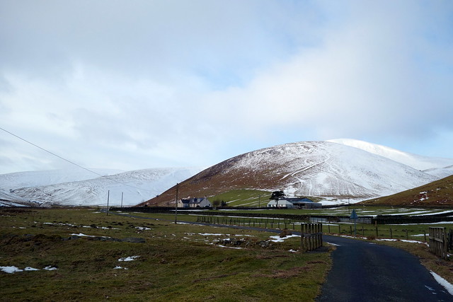
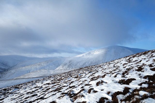
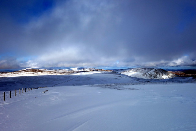
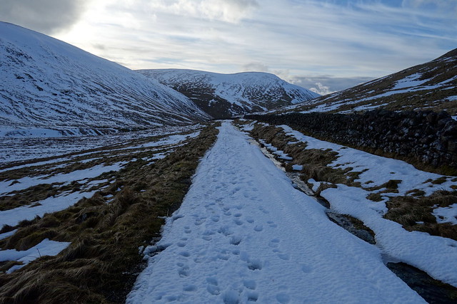
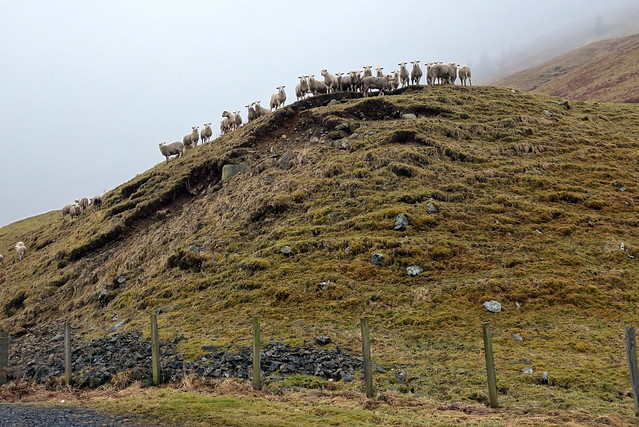
Friday morning - we left at 7 and had a smooth run down the road to Glenkirk, which would allow us to approach the Culter Fell round from the east, saving 8 or 9km on the circuit from Coulter. It's a nice way to do the circuit if you aren't bothered about Hudderstone. Plenty of grassy roadside parking at the beginning of the walk. We followed the road to the farm and took the track up onto Chapelgill Hill - a steady pull on heather/grass. From the top it was over to the Top of Cardon Hill, under a lot more snow. We'd left our snowshoes in the car, something we'd regret as the day wore on. Top reached, we turned our attention to Culter Fell - looking crisp and white ahead of us. The section from King Bank Head is notoriously boggy - at least it was snowy, not too boggy today. Crusty icy snow on Culter Fell made ascending easier and we paused for a breath.
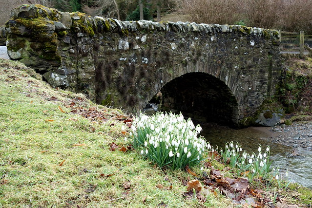
Glenkirk
 DSC00651 by Al, on Flickr
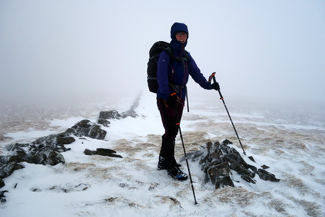
Culter Fell
 DSC00652 by Al, on Flickr
Cardon from Chapelgill
 DSC00654 by Al, on Flickr
Cardon
 DSC00656 by Al, on Flickr
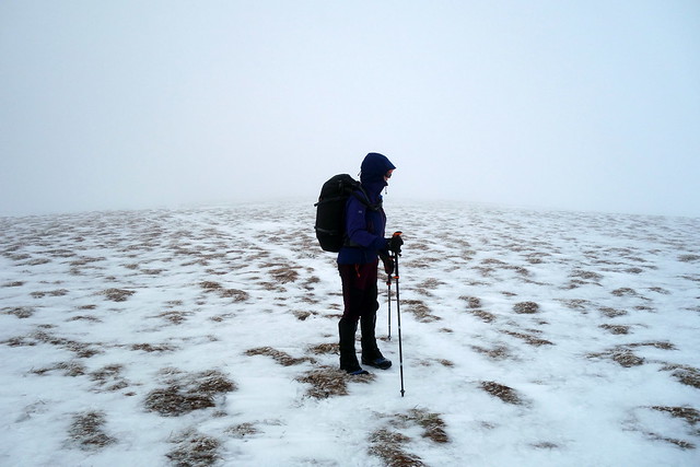
CulterFell
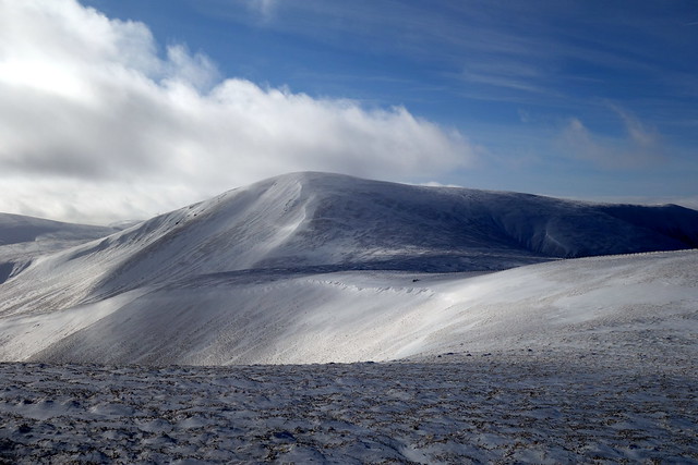 DSC00657 by Al, on Flickr
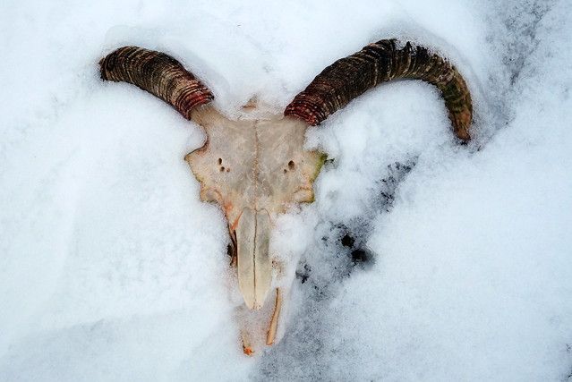
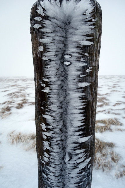
Things you find stuck in the snow #1
DSC00656 by Al, on Flickr
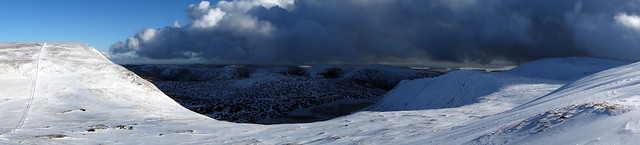
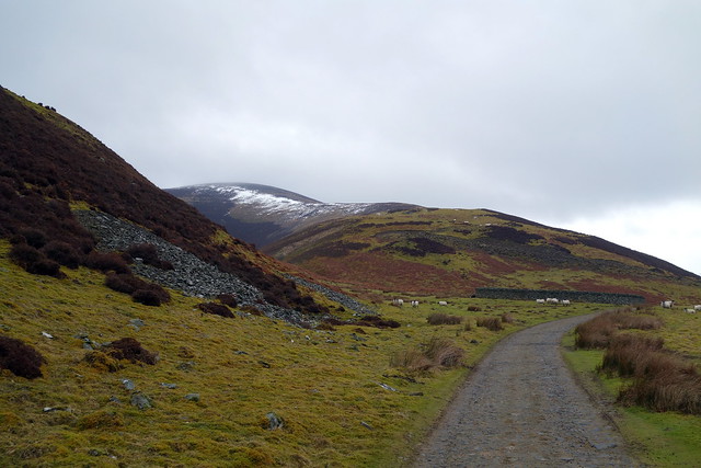
There's a long downward trot over Moss Law to Holm Nick before the climb to Gathersnow Hill - we followed the track, under varying amounts of snow to the top. From here it was across towards the windfarm and Coomb Dod, by way of Hillshaw Head - we met another walker out taking his exercise. Coomb Dod reached, we about turned and retraced our steps up Gathersnow, meeting another walker who expressed his gratitude for the tracks we'd ploughed in the snow. On to Coomb Hill and down towards the track at Holms Waterhead and back to the car. My GPS was playing up, not receiving a signal for some reason... We pondered whether to camp in the valley where we'd parked or drive along to The Meggat where we'd be walking tomorrow. We were quite close to the farmhouse here, so decided to move along to The Meggat and our usual waterside spot.
Down to Holm Nick
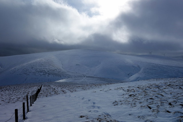 DSC00659 by Al, on Flickr
Gathersnow to Coomb Dod
 DSC00660 by Al, on Flickr
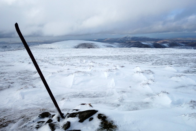
Weathered trig of Coomb Dod
 DSC00662 by Al, on Flickr
Things you find in the snow #2
 DSC00663 by Al, on Flickr
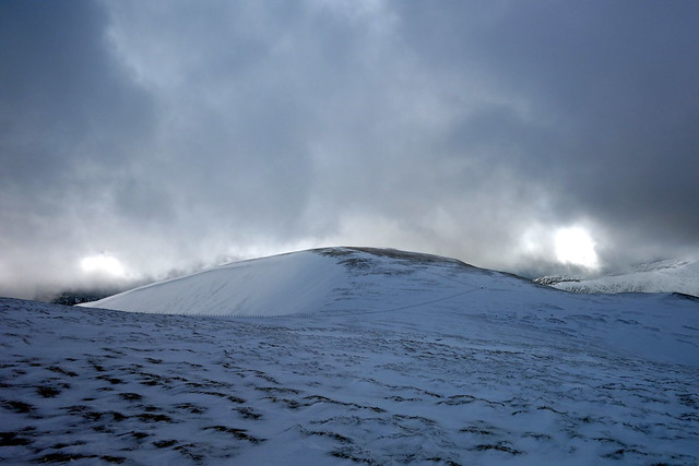
Coomb Hill
 DSC00665 by Al, on Flickr
When we drove along to Talla Linfoots we were faced with a very snowy steep road up the hillside towards the Meggat Stone. I did attempt to get up the hill, but when the car started slithering towards the drop on the left, I decided that was a bad idea and had a rather hairy reverse back down the sinuous slope - ditch on the right, drop on the left. By this time it was getting dark - we cast around for a place to pitch and eventually ended up pitching by the river at the bottom of the hill. Lumpy and wet and right in the teeth of a gale coming along the valley. Some extra guy lines and a few big rocks were required to keep us attached to the earth and a very noisy night ensued. Rain came on in the evening and battered right into the tent. We did manage some sleep despite the noise - in fact Allison said I fell asleep right away despite the chaos outrside. Better wind than loud Edinbuggers!
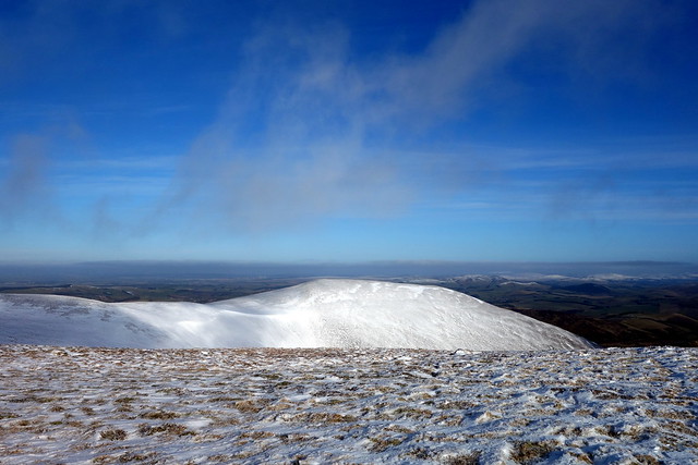
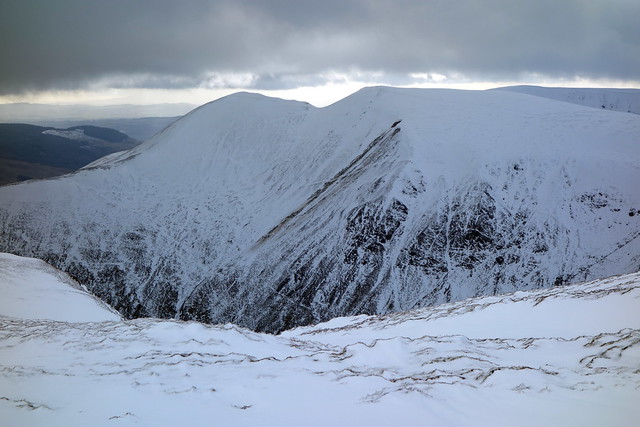
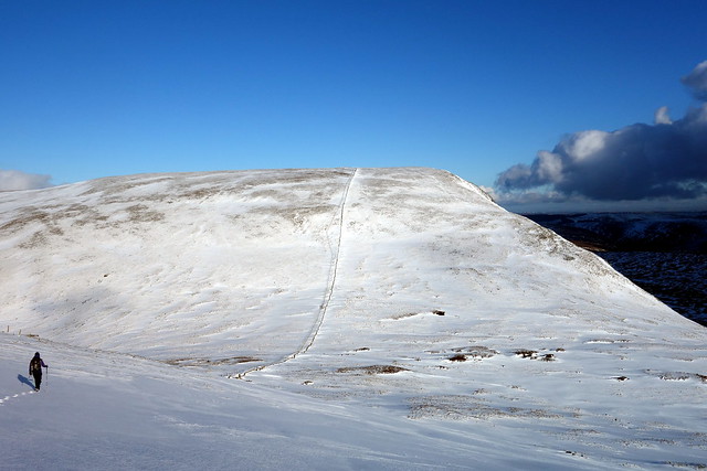
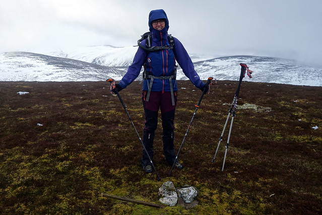
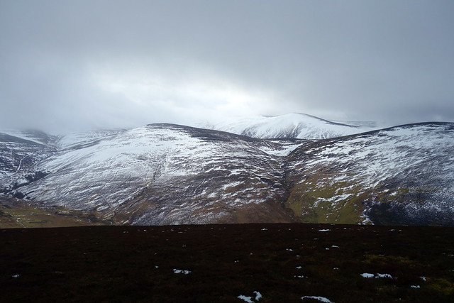
Saturday morning - the road still impassable despite rain all night, I had to edit my route and start from where we'd parked rather than 100m or so higher up the hillside. Carlavin Hill is one steep honey - still a fair amount of snow underfoot. We inched up towards the cairn in poor visibility, tough going underfoot. I'd brought my snowshoes today, Allison had chosen to leave hers behind. We continued along to Molls Cleuch Dod, the going becoming easier on firmer snow with deep drifts burying the fence in places. On to Donald's Cleuch Head then a deviation to Great Hill and back, with a stop for lunch down from Firthhope Rig. From here we had to contour round White Coomb to Gupe Criag and the final Top of Carrifrans Gans - there and back took and hour. Noticed a collapsed cornice avalanche on Hart Fell. Back along by Donald's Cleuch Head and onwards to Lochcraig Head. The day had brightened up nicely, blue skies instead of clag, always welcome.
Steeply up Carlavin Hill
 DSC00666 by Al, on Flickr
Talla Reservoir
 DSC00667 by Al, on Flickr
 DSC00669 by Al, on Flickr
 DSC00670 by Al, on Flickr
Summit of Great Hill
 DSC00671 by Al, on Flickr
Round White Coomb
 DSC00672 by Al, on Flickr
Carrifrans Gans
 DSC00673 by Al, on Flickr
Hartfell - avalanche evidence
 DSC00675 by Al, on Flickr
 DSC00676 by Al, on Flickr
Carrifrans Gans
 DSC00677 by Al, on Flickr
Another view of avalanche debris
 DSC00678 by Al, on Flickr
Clearing up - view to Donald's Cleuch Head
 DSC00679 by Al, on Flickr
Towards Loch Skeen
 DSC00680 by Al, on Flickr
Up to Lochcraig Head
 DSC00681 by Al, on Flickr
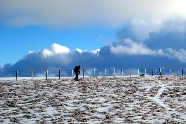
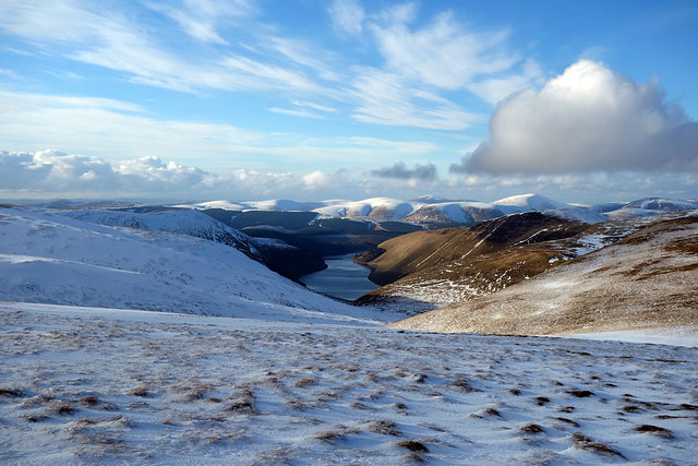
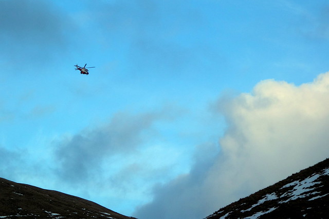
From here it was down over Nickies Knowe towards the road - Allison falling over in the boggy lower section and getting a wet bum When we reached the road there were 3 guys from Borders SAR who had been called out with a story of a family car going off the road further along - asked if we'd seen anything. They'd not been able to get their Defender up the hill (which made me feel a bit better about my efforts the evening before). We walked back along the road and saw a collection of Mountain Rescue folk at the foot of the hill. Soon the helicopter came over - don't know the outcome of thier search. We had thought of camping in the same place as last night, especially since the wind had dropped, but it was a little busy Instead we drove about a bit looking for a suitable spot before settling on a nice level grassy pitch at the north end of the Talla Reservoir where we spent a quiet night.
Talla again
 DSC00682 by Al, on Flickr
Snowy road
 DSC00683 by Al, on Flickr
 DSC00684 by Al, on Flickr
 DSC00686 by Al, on Flickr
 DSC00688 by Al, on Flickr
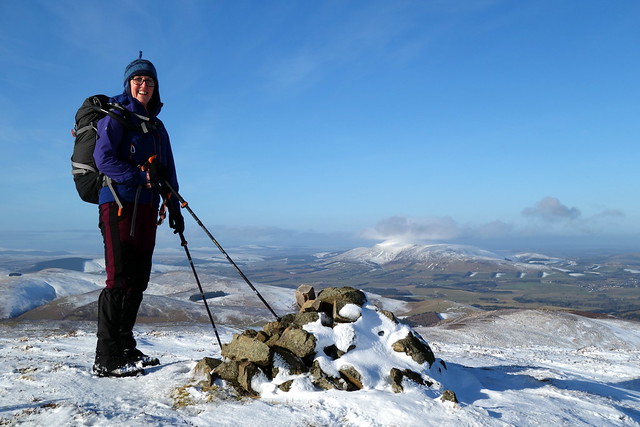
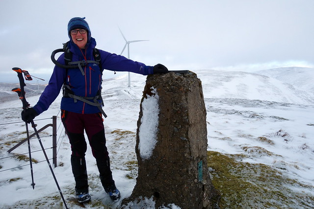
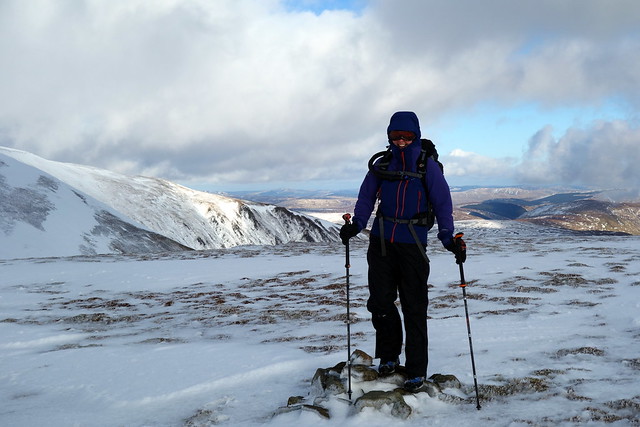
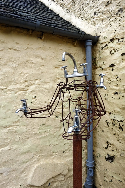
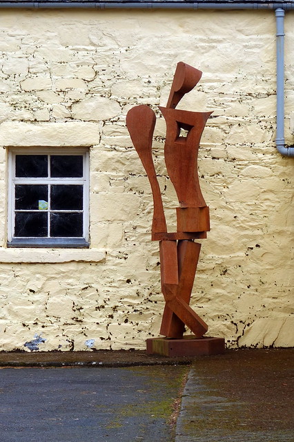
Sunday - Taberon Law and Hunt Law were on the menu today. These are outliers of the Drumelzier and Dollar Law circuits respectively and the latter I remember as being quite a slog. I saw they were easy to combine from an approach along the Stanhope burn, reached by walking along a private road from the A701.We parked up in a layby north of the bridge across the Tweed and walked through the estate buildings with quirky metal sculptures, past signs pointing the walkers' right of way. Then onto a firm track that led us to the shoulder of taberon Law, where a helpful bulldozed track went all the way to the summit. There was one of those foul crow traps with one incarcerated occupant - I didn't free it though felt bad about that. Allison was a bit breathless at the top - the cough/cold that's been plaguing her all week not liking the claggy air and steep ascent. I wondered if she was fit to go on, but she insisted she was.
 DSC00690 by Al, on Flickr
Up the shoulder of Taberon Law
 DSC00692 by Al, on Flickr
 DSC00693 by Al, on Flickr
Steeply down by some gross butts towards a narrow footbridge over the burn then up another ATV track, again passing gross butts to the summit of Hunt Law. The eigth of her Donald Tops claimed. We retraced our steps and wandered back along the track, drove back to Glasgow and had time for a wee wander there, sampling a new cafe on Great Western Road (V&V's) where we had coffee and cake but noted their fab menu including Pakora Toasties!! Then a bit more walking and a fine Chinese style repast in the Hug and Pint.
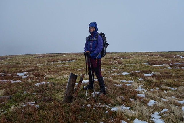
Hunt Law
 DSC00694 by Al, on Flickr
Walking the plank
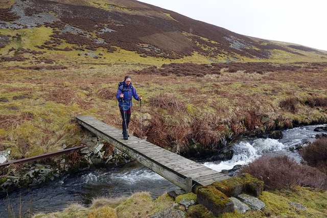 DSC00695 by Al, on Flickr
Hunt Law
 DSC00696 by Al, on Flickr
 DSC00697 by Al, on Flickr
 DSC00698 by Al, on Flickr
 DSC00700 by Al, on Flickr
 DSC00701 by Al, on Flickr
Friday morning - we left at 7 and had a smooth run down the road to Glenkirk, which would allow us to approach the Culter Fell round from the east, saving 8 or 9km on the circuit from Coulter. It's a nice way to do the circuit if you aren't bothered about Hudderstone. Plenty of grassy roadside parking at the beginning of the walk. We followed the road to the farm and took the track up onto Chapelgill Hill - a steady pull on heather/grass. From the top it was over to the Top of Cardon Hill, under a lot more snow. We'd left our snowshoes in the car, something we'd regret as the day wore on. Top reached, we turned our attention to Culter Fell - looking crisp and white ahead of us. The section from King Bank Head is notoriously boggy - at least it was snowy, not too boggy today. Crusty icy snow on Culter Fell made ascending easier and we paused for a breath.
Glenkirk
DSC00651 by Al, on FlickrCulter Fell
DSC00652 by Al, on FlickrCardon from Chapelgill
DSC00654 by Al, on FlickrCardon
DSC00656 by Al, on FlickrCulterFell
DSC00657 by Al, on FlickrThings you find stuck in the snow #1
DSC00656 by Al, on FlickrThere's a long downward trot over Moss Law to Holm Nick before the climb to Gathersnow Hill - we followed the track, under varying amounts of snow to the top. From here it was across towards the windfarm and Coomb Dod, by way of Hillshaw Head - we met another walker out taking his exercise. Coomb Dod reached, we about turned and retraced our steps up Gathersnow, meeting another walker who expressed his gratitude for the tracks we'd ploughed in the snow. On to Coomb Hill and down towards the track at Holms Waterhead and back to the car. My GPS was playing up, not receiving a signal for some reason... We pondered whether to camp in the valley where we'd parked or drive along to The Meggat where we'd be walking tomorrow. We were quite close to the farmhouse here, so decided to move along to The Meggat and our usual waterside spot.
Down to Holm Nick
DSC00659 by Al, on FlickrGathersnow to Coomb Dod
DSC00660 by Al, on FlickrWeathered trig of Coomb Dod
DSC00662 by Al, on FlickrThings you find in the snow #2
DSC00663 by Al, on FlickrCoomb Hill
DSC00665 by Al, on FlickrWhen we drove along to Talla Linfoots we were faced with a very snowy steep road up the hillside towards the Meggat Stone. I did attempt to get up the hill, but when the car started slithering towards the drop on the left, I decided that was a bad idea and had a rather hairy reverse back down the sinuous slope - ditch on the right, drop on the left. By this time it was getting dark - we cast around for a place to pitch and eventually ended up pitching by the river at the bottom of the hill. Lumpy and wet and right in the teeth of a gale coming along the valley. Some extra guy lines and a few big rocks were required to keep us attached to the earth and a very noisy night ensued. Rain came on in the evening and battered right into the tent. We did manage some sleep despite the noise - in fact Allison said I fell asleep right away despite the chaos outrside. Better wind than loud Edinbuggers!
Saturday morning - the road still impassable despite rain all night, I had to edit my route and start from where we'd parked rather than 100m or so higher up the hillside. Carlavin Hill is one steep honey - still a fair amount of snow underfoot. We inched up towards the cairn in poor visibility, tough going underfoot. I'd brought my snowshoes today, Allison had chosen to leave hers behind. We continued along to Molls Cleuch Dod, the going becoming easier on firmer snow with deep drifts burying the fence in places. On to Donald's Cleuch Head then a deviation to Great Hill and back, with a stop for lunch down from Firthhope Rig. From here we had to contour round White Coomb to Gupe Criag and the final Top of Carrifrans Gans - there and back took and hour. Noticed a collapsed cornice avalanche on Hart Fell. Back along by Donald's Cleuch Head and onwards to Lochcraig Head. The day had brightened up nicely, blue skies instead of clag, always welcome.
Steeply up Carlavin Hill
DSC00666 by Al, on FlickrTalla Reservoir
DSC00667 by Al, on FlickrDSC00669 by Al, on FlickrDSC00670 by Al, on FlickrSummit of Great Hill
DSC00671 by Al, on FlickrRound White Coomb
DSC00672 by Al, on FlickrCarrifrans Gans
DSC00673 by Al, on FlickrHartfell - avalanche evidence
DSC00675 by Al, on FlickrDSC00676 by Al, on FlickrCarrifrans Gans
DSC00677 by Al, on FlickrAnother view of avalanche debris
DSC00678 by Al, on FlickrClearing up - view to Donald's Cleuch Head
DSC00679 by Al, on FlickrTowards Loch Skeen
DSC00680 by Al, on FlickrUp to Lochcraig Head
DSC00681 by Al, on FlickrFrom here it was down over Nickies Knowe towards the road - Allison falling over in the boggy lower section and getting a wet bum
Talla again
DSC00682 by Al, on FlickrSnowy road
DSC00683 by Al, on FlickrDSC00684 by Al, on FlickrDSC00686 by Al, on FlickrDSC00688 by Al, on FlickrSunday - Taberon Law and Hunt Law were on the menu today. These are outliers of the Drumelzier and Dollar Law circuits respectively and the latter I remember as being quite a slog. I saw they were easy to combine from an approach along the Stanhope burn, reached by walking along a private road from the A701.We parked up in a layby north of the bridge across the Tweed and walked through the estate buildings with quirky metal sculptures, past signs pointing the walkers' right of way. Then onto a firm track that led us to the shoulder of taberon Law, where a helpful bulldozed track went all the way to the summit. There was one of those foul crow traps with one incarcerated occupant - I didn't free it though felt bad about that. Allison was a bit breathless at the top - the cough/cold that's been plaguing her all week not liking the claggy air and steep ascent. I wondered if she was fit to go on, but she insisted she was.
DSC00690 by Al, on FlickrUp the shoulder of Taberon Law
DSC00692 by Al, on FlickrDSC00693 by Al, on FlickrSteeply down by some gross butts towards a narrow footbridge over the burn then up another ATV track, again passing gross butts to the summit of Hunt Law. The eigth of her Donald Tops claimed. We retraced our steps and wandered back along the track, drove back to Glasgow and had time for a wee wander there, sampling a new cafe on Great Western Road (V&V's) where we had coffee and cake but noted their fab menu including Pakora Toasties!! Then a bit more walking and a fine Chinese style repast in the Hug and Pint.
Hunt Law
DSC00694 by Al, on FlickrWalking the plank
DSC00695 by Al, on FlickrHunt Law
DSC00696 by Al, on FlickrDSC00697 by Al, on FlickrDSC00698 by Al, on FlickrDSC00700 by Al, on FlickrDSC00701 by Al, on Flickr