free to be able to rate and comment on reports (as well as access 1:25000 mapping).
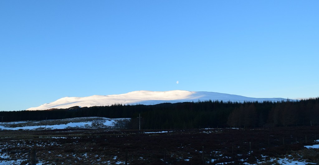
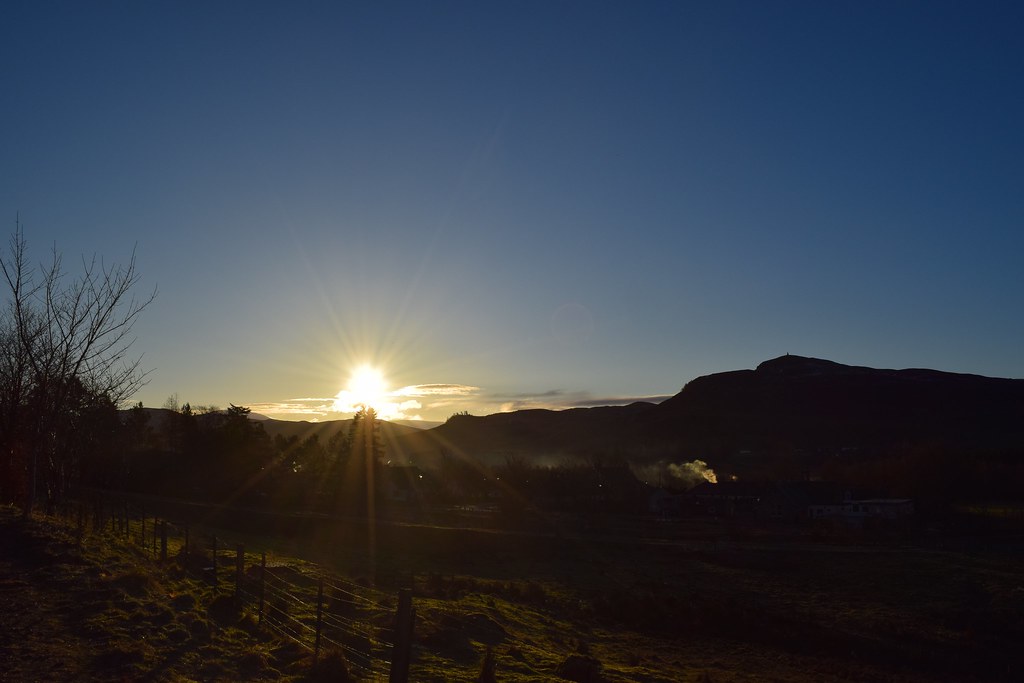
The forecast was looking excellent and Colin wanted a new blue balloon. I arrived on time….but there was no sign of Colin….after a wake-up call we were on our way. As we drove up the A9 the weather was looking awesome and we had several photo stops along the way….
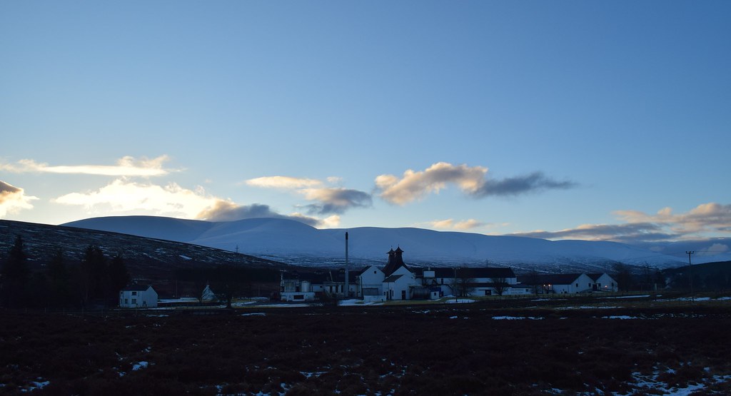
Dalwhinnie Distillery
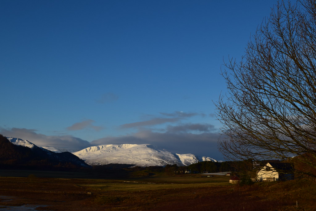
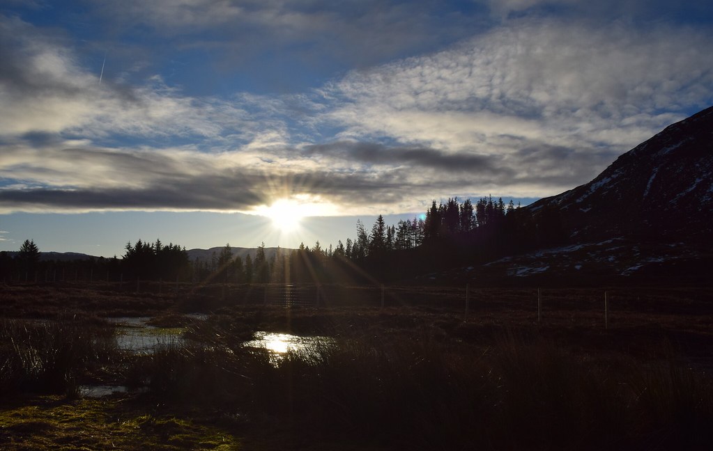
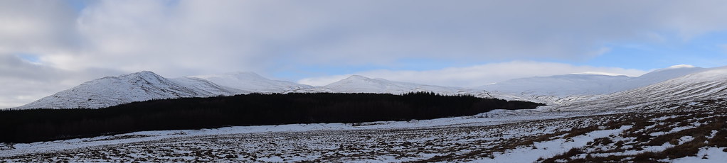
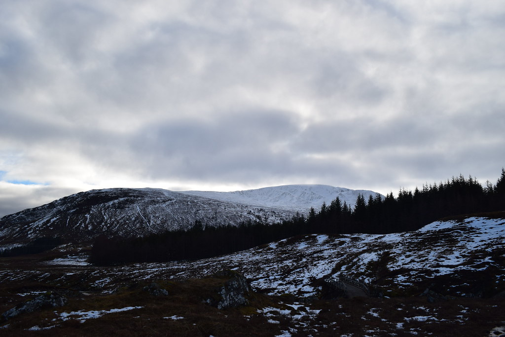
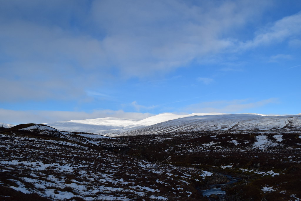
As we headed down the minor road to Garva Bridge we could see the end of the Creag Meagaidh hills
The sun was up
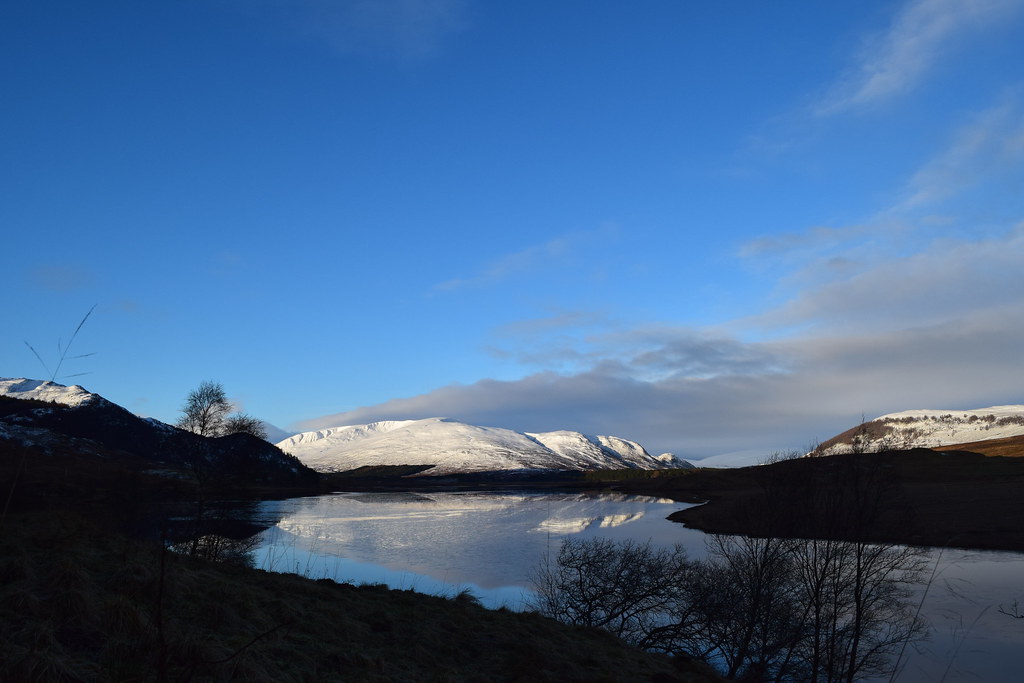
The unnamed reservoir
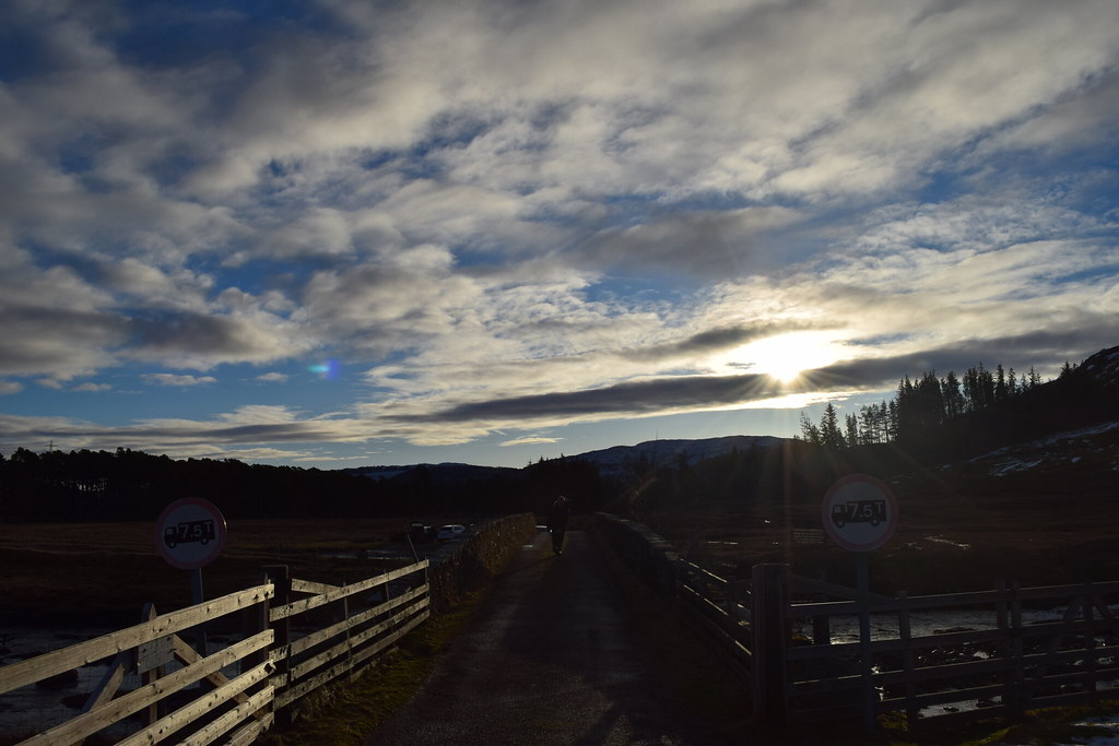
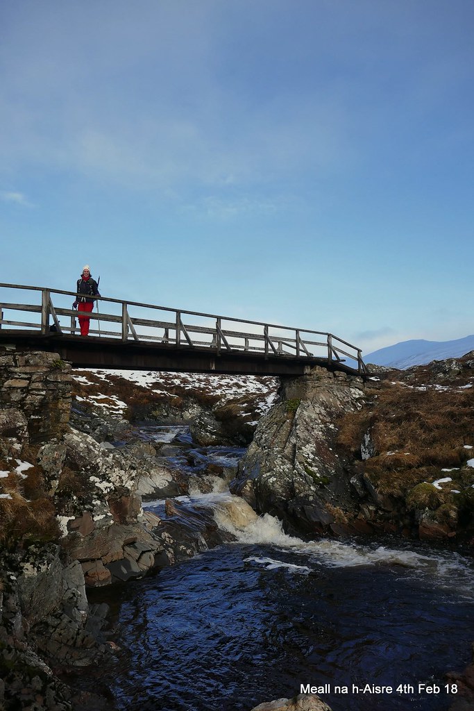
Arriving at Garva Bridge there were already several cars parked up.
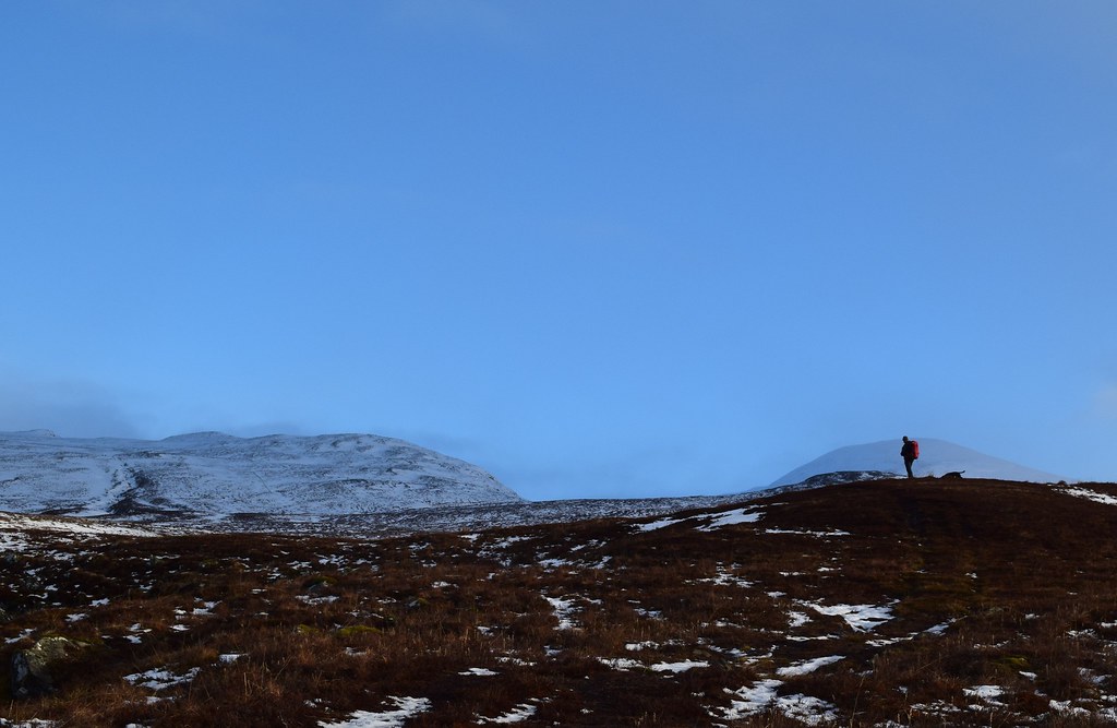
Colin tests out the weight restriction on the bridge….

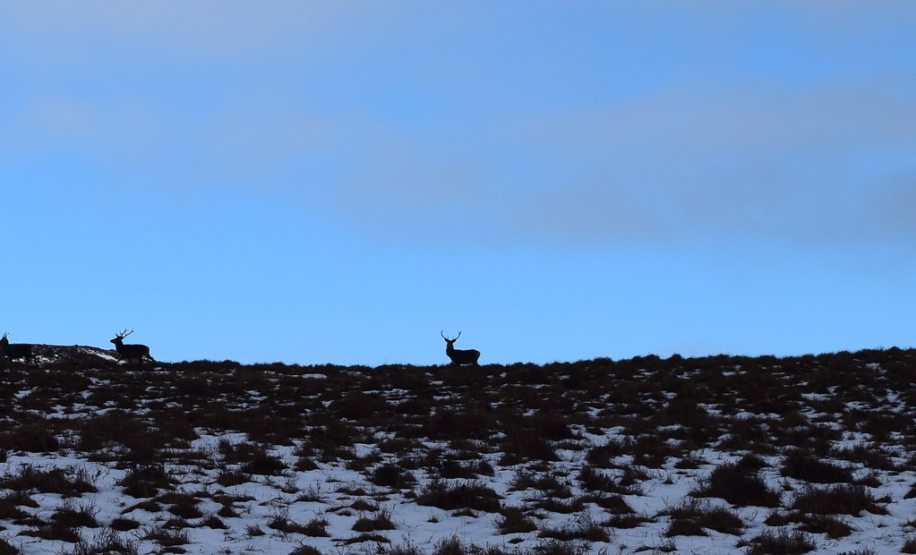
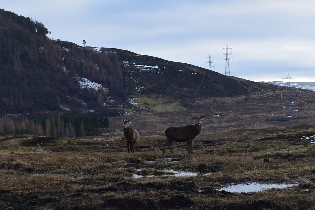
There were hunners of deer about
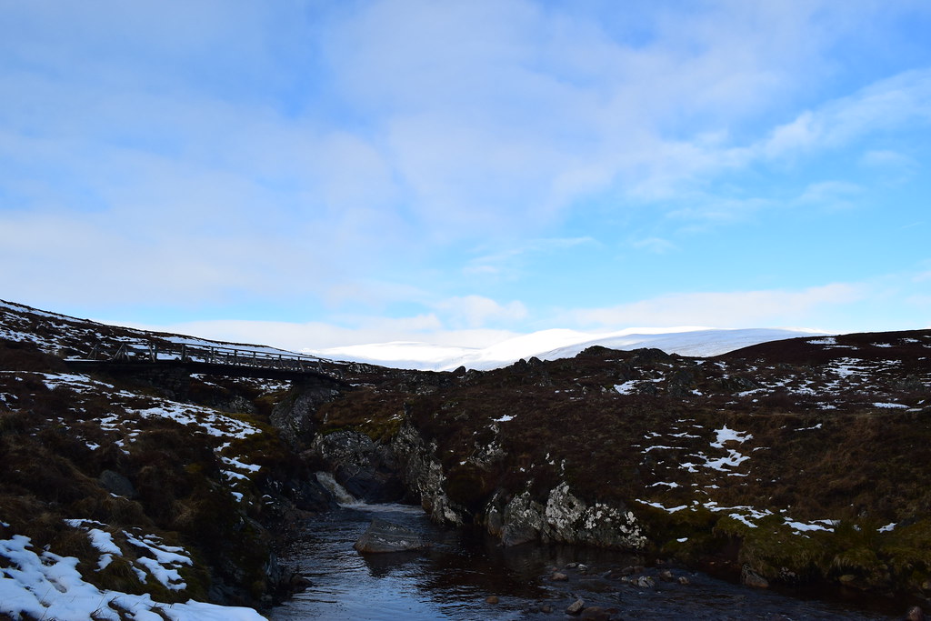
We followed the track along the West side of the burn. The ground was squishy and the track indistinct but we found our way to a bridge.
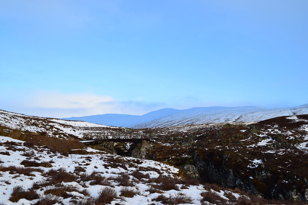
Wahey a bridge

Looking back the way we had come…
I stopped to water the ground behind a rock while Colin searches for meaning….
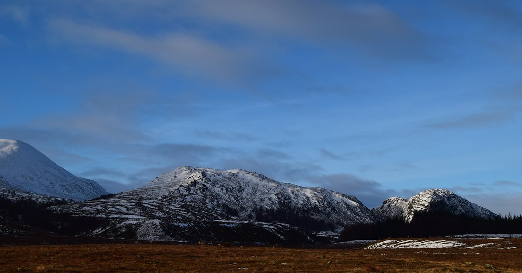
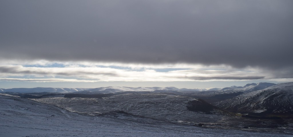
Looking south past Creag Meagaidh towards Ben Alder
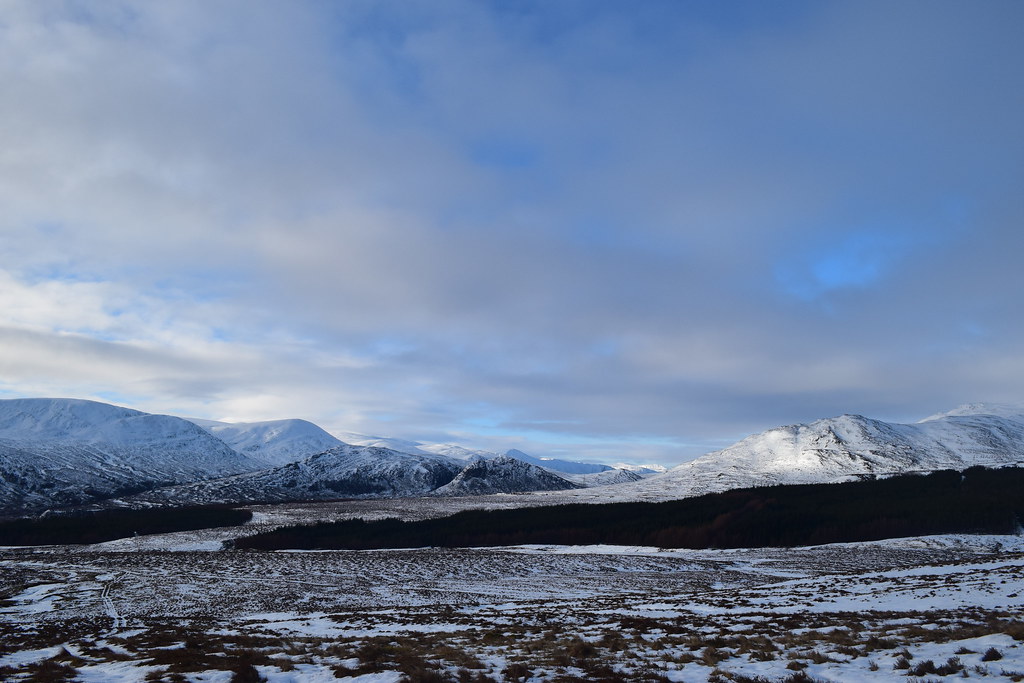
Meagaidh
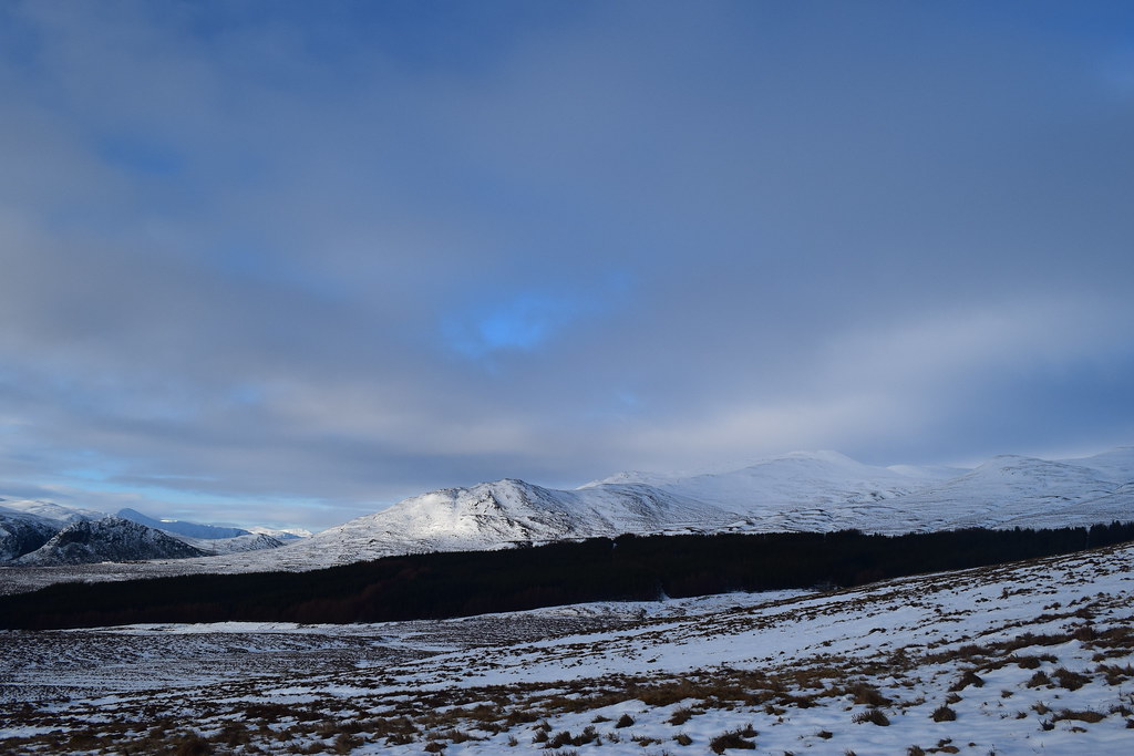
Back towards Garva Bridge with Carn na Caim and pals in the distance
Looking ahead we picked a route upwards, initially following an ATV track and then our noses upwards through increasingly deep snow which made progress difficult.
Fortunately it was a gorgeous day and we could stop for a photo….
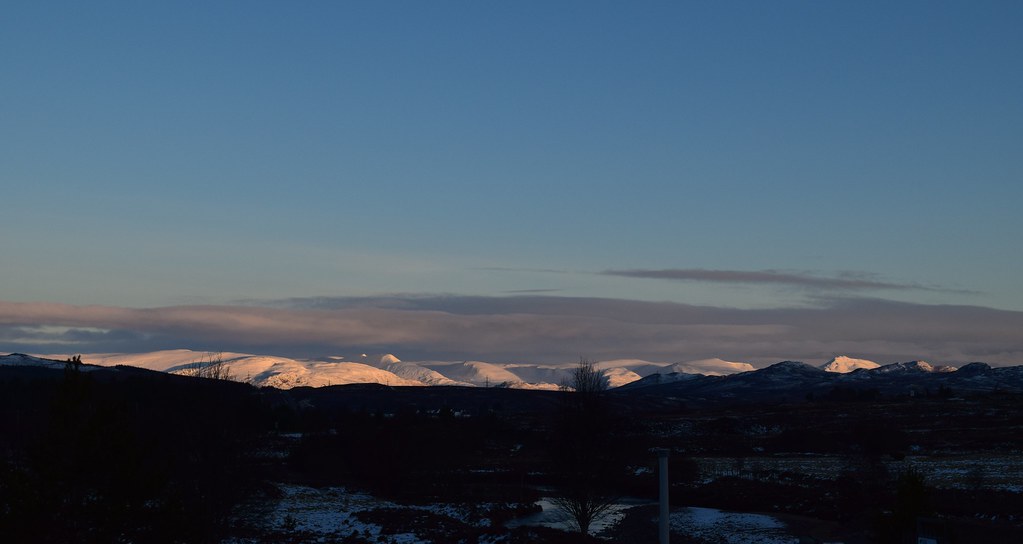
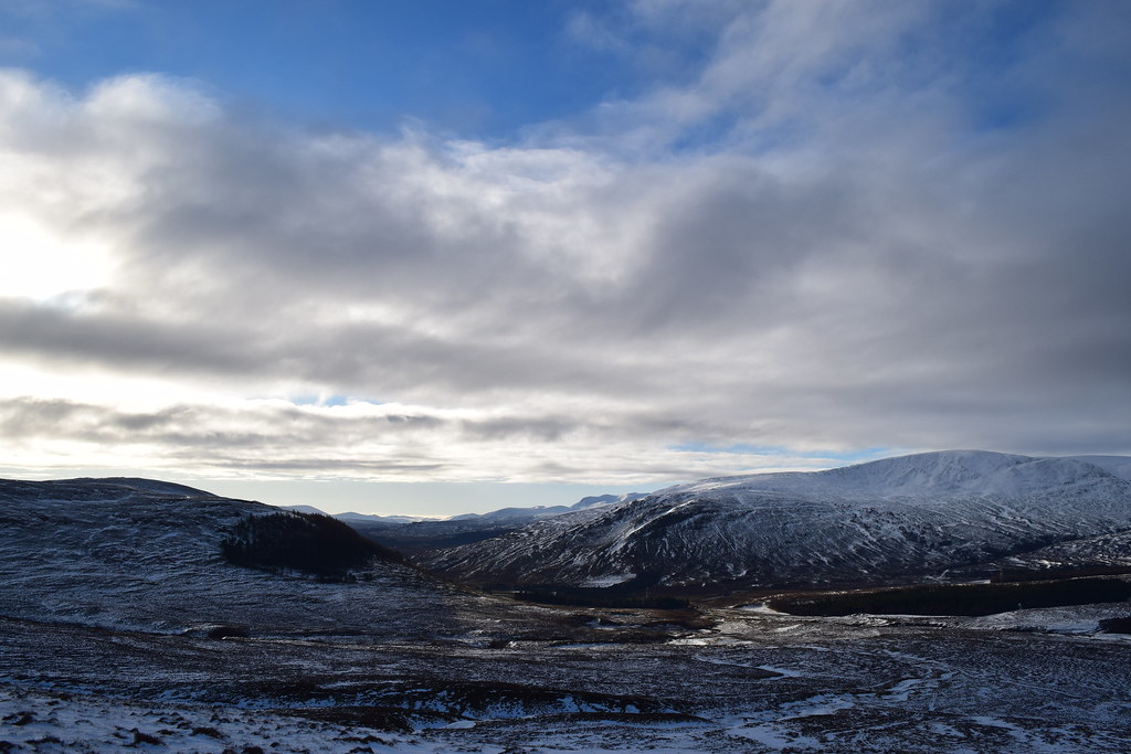
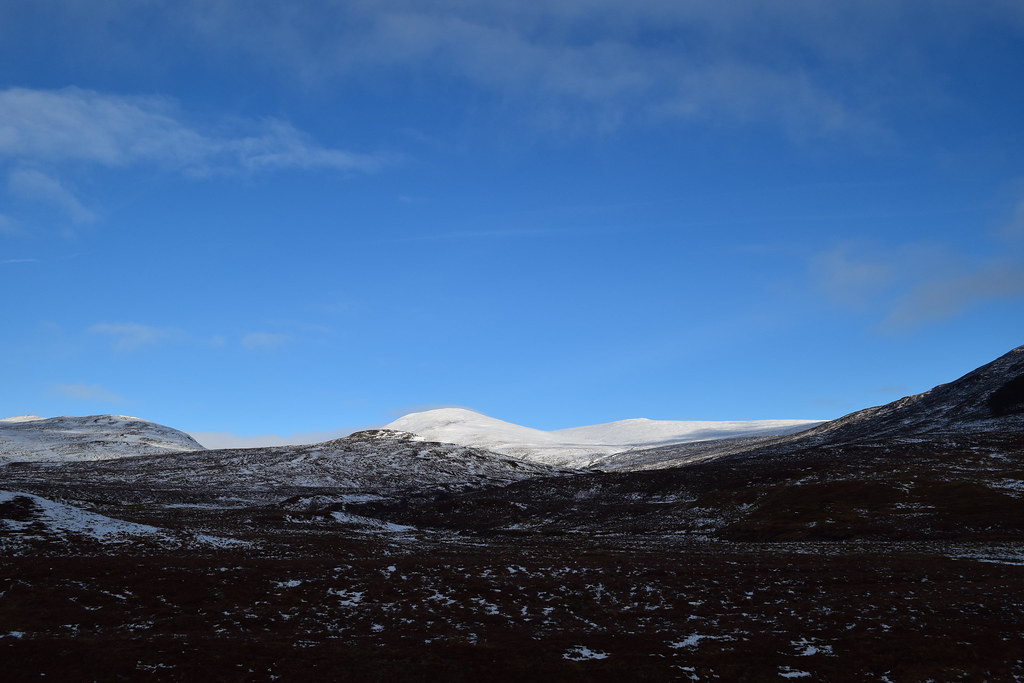
The Drumochter hills
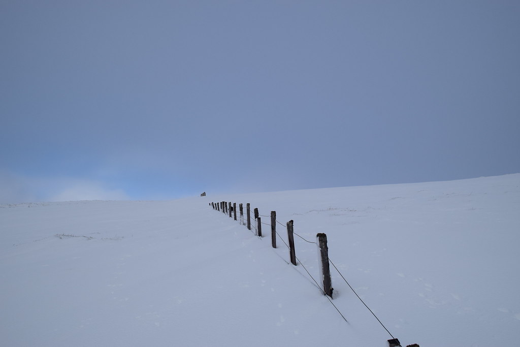
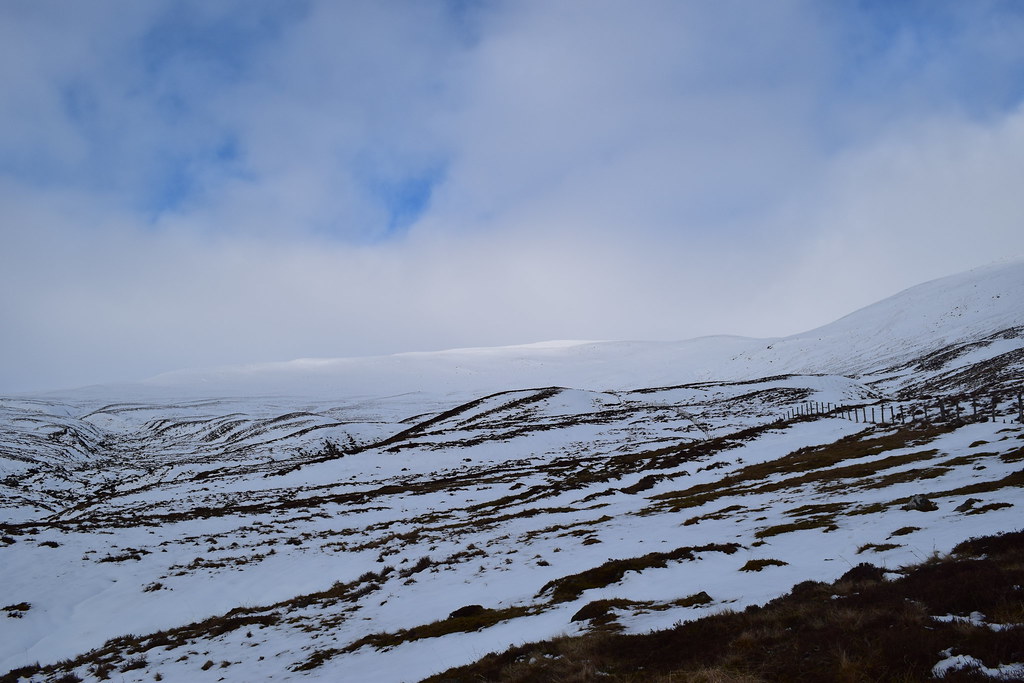
We met a fenceline and followed this for a while towards the ridge.
Looking back at the progress we had made – tough going!
We had to leave the fenceline as it would start heading downwards. Now on the wide ridge we could see ahead to the 844 spot. A lot of the walking here was slightly easier here as the snow was more consolidated but we were still sinking on a regular basis
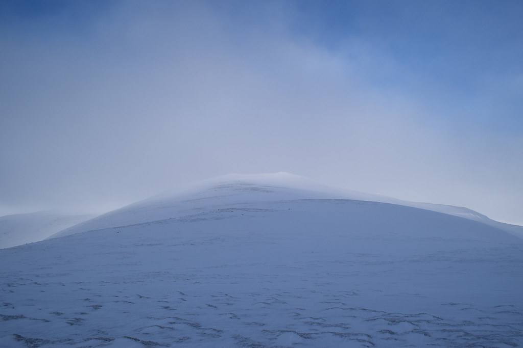
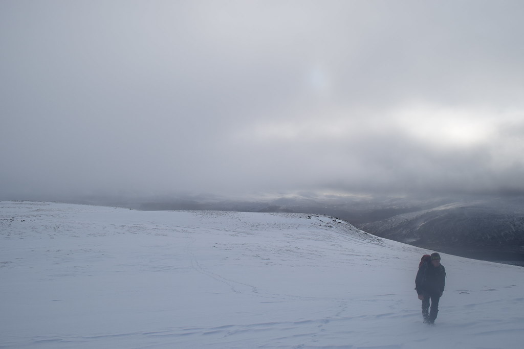
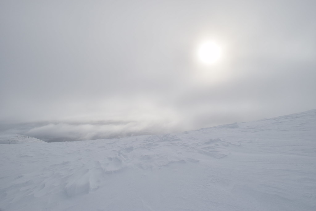
Cloud was blowing in and out for a while making the route ahead look spooky

Colin “thinking light”
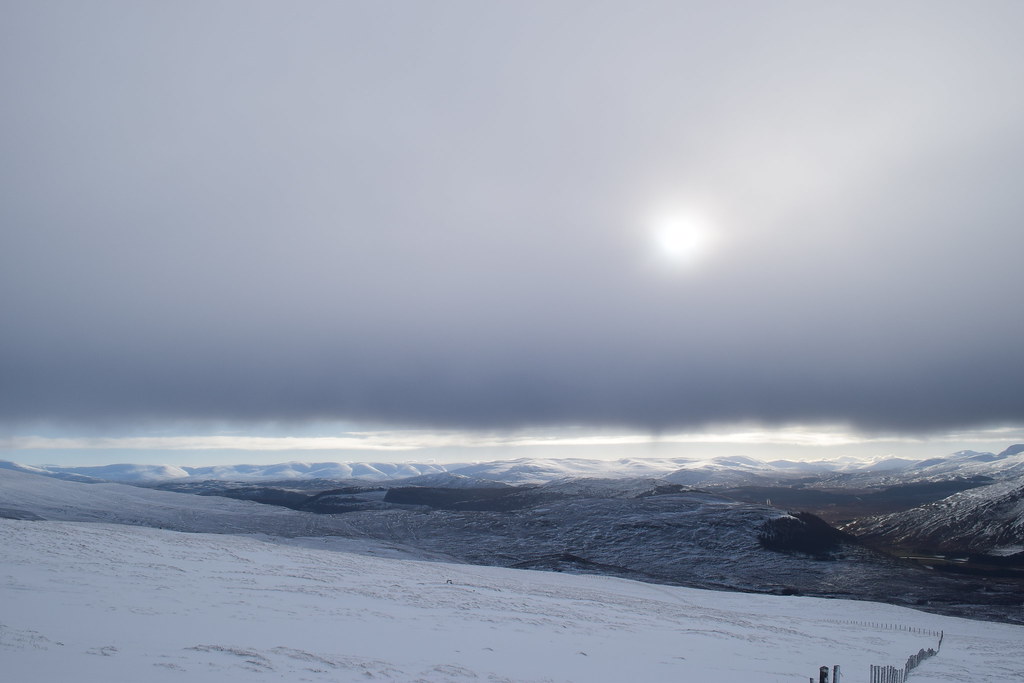
We reached the 844 spot and a quick check of the map and GPS showed us our route ahead. As we dropped down we were back into deep snow and we tried to keep as much height as possible to save effort.
Looking back
Once we dropped off the top the visibility was back and views backwards were pretty cool
Hey Jaxter, do a thing….
We were less sheltered here and although there was very little wind, what there was was blowing about
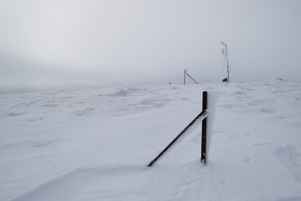
Finally on the last approach we met a line of fenceposts – it must have been fairly wild up here recently

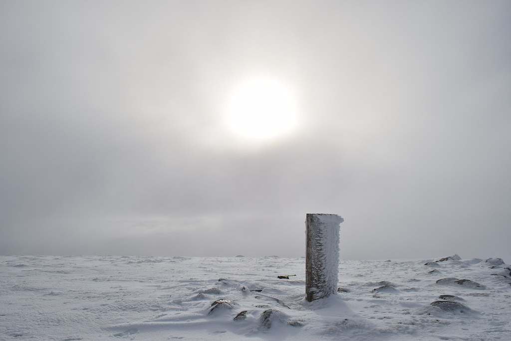
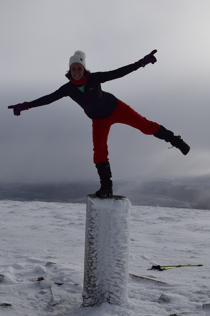
The Trig point at last!
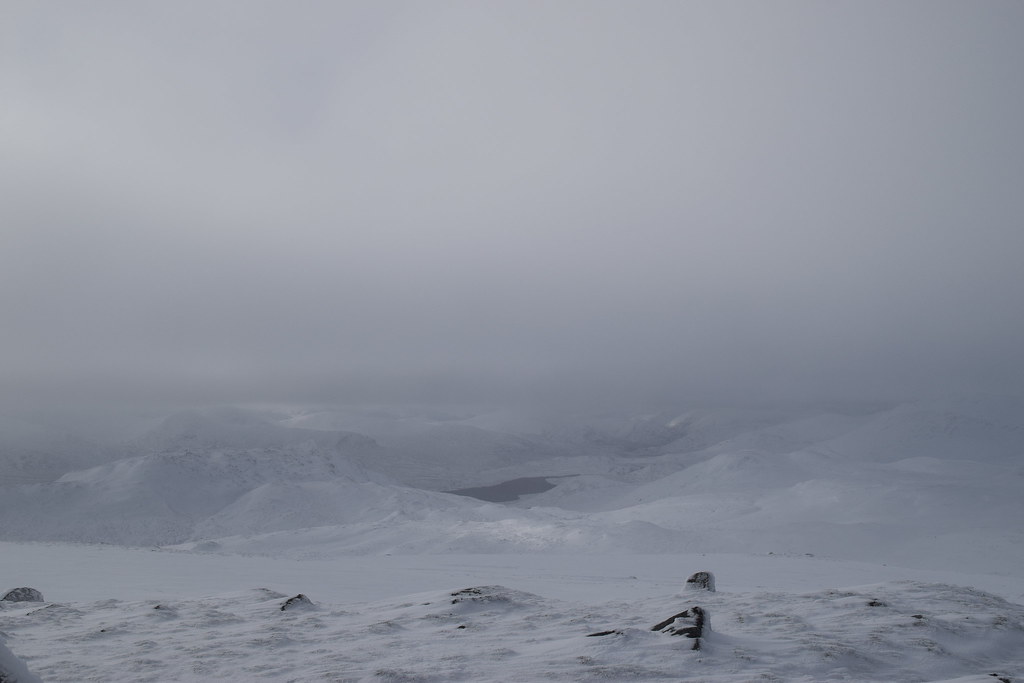
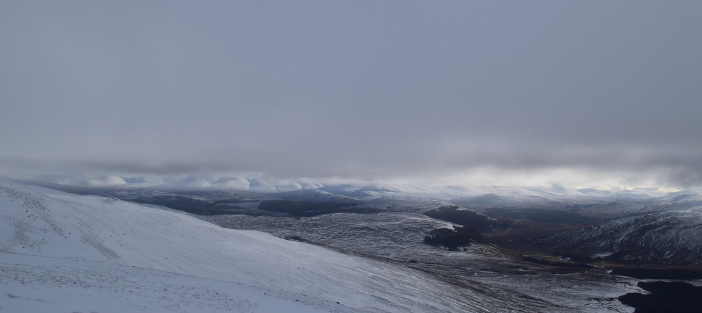
The wee bits of cloud were blowing away and we could see down towards Geal Charn and Corrieyairack Hill
Colin does his Buzz Lightyear impression and Jura completely ignores it

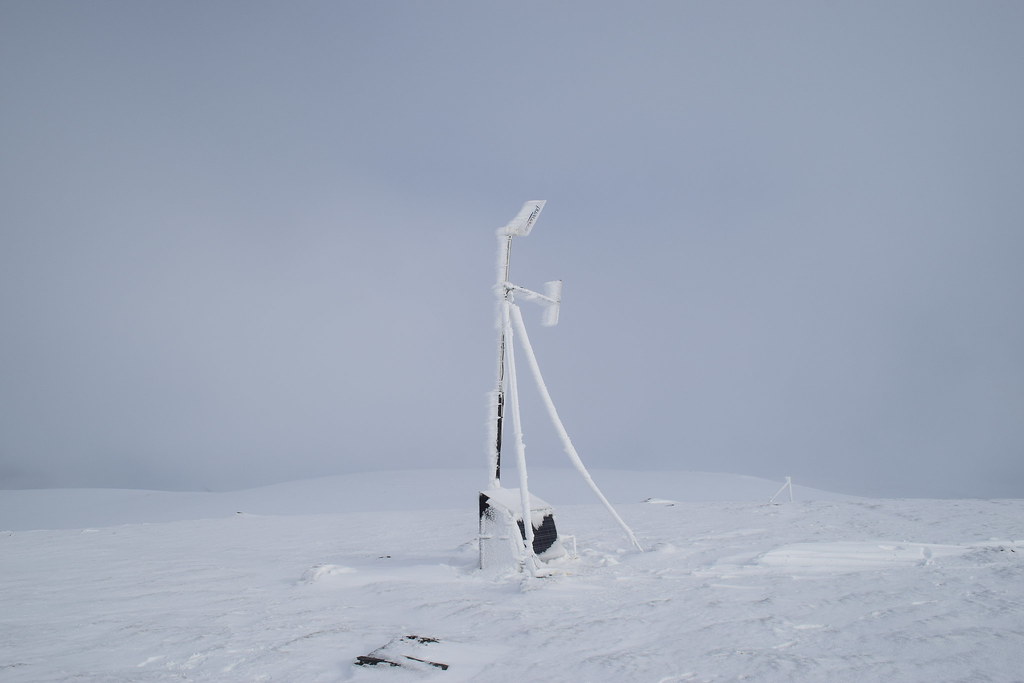
A curious object which we figured was a booster station for the Windfarm works.
Where’s Jaxter?
We could see lots of wind turbines and more that were about to be built to the North. There was also a curious noise which we eventually realised was a big yellow JCB clearing the road which came very close to the summit – this would have been a very easy route either up or down but we weren’t really interested in an “easy bag”
We headed South-West off the summit before dropping into Coire Iain Oig. There was a lot of deep snow and although it made walking difficult it was a lot more fun than going uphill in deep snow
Looking downwards
Contemplating life…
Wheeeee!!
If it existed, the next photo would have shown me faceplanting
Although the visibility was good, it was difficult to see the snow and there were some big drops that were quite difficult to see…. The hardest terrain negotiated were cut across towards a fenceline which avoided the worst of the difficult ground
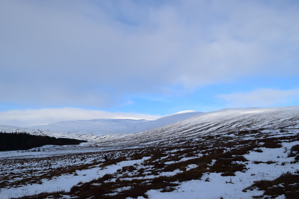
Eventually we met something resembling a track (which disappeared and reappeared) but gave us some good views of deer
Looking back to Coire Iain Oig
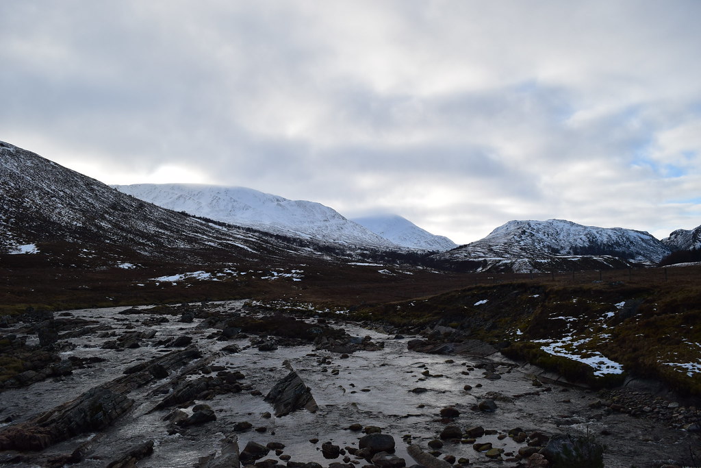
We reached the bridge….
Some cool waterfalls under the bridge
Geal Charn – no doubt where all the other folk in the carpark were as we hadn’t seen anyone else all day
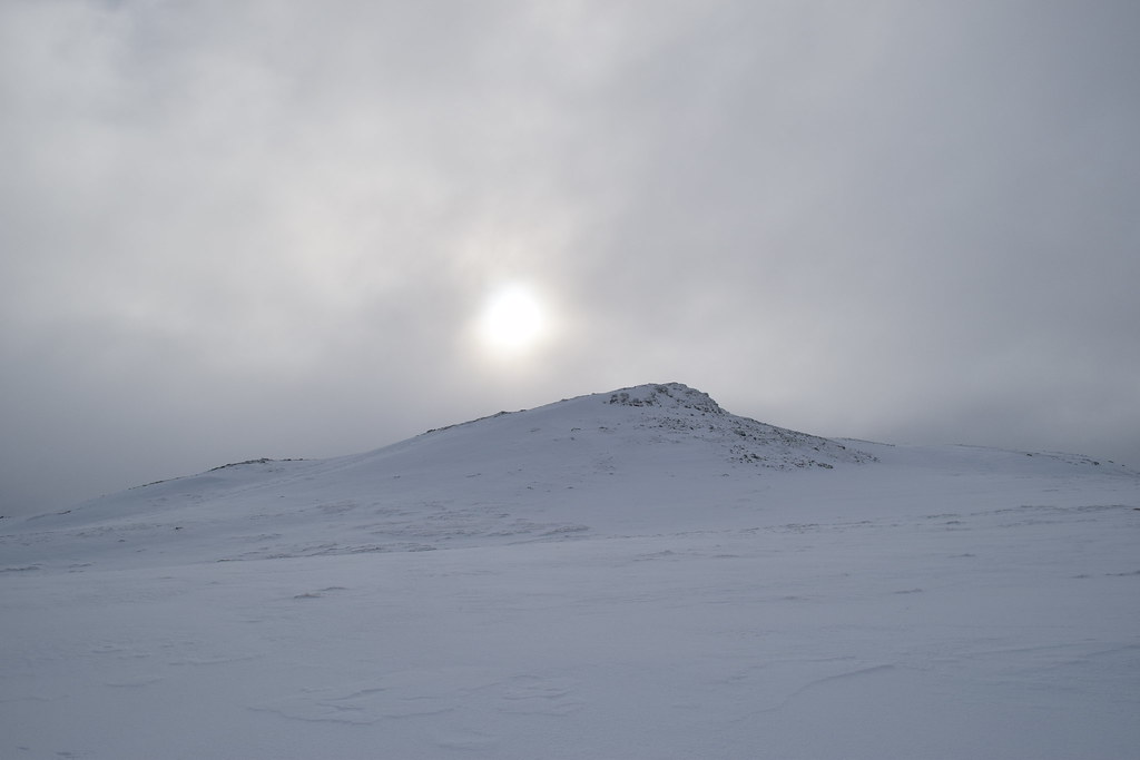
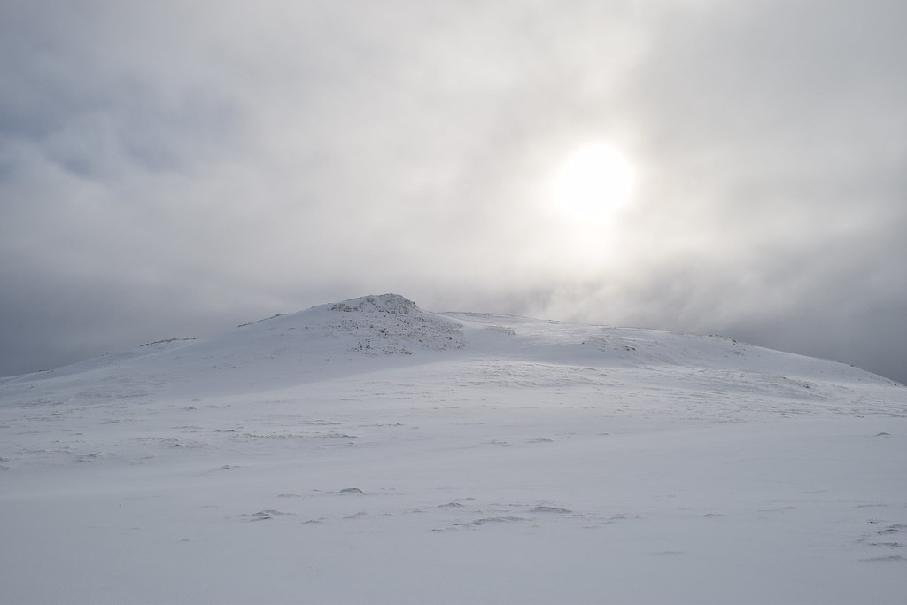
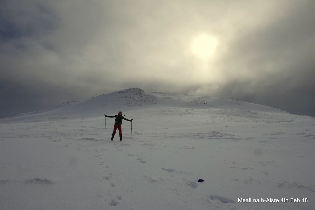
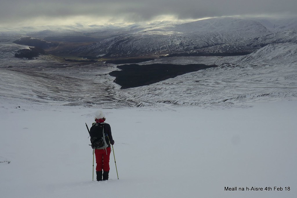
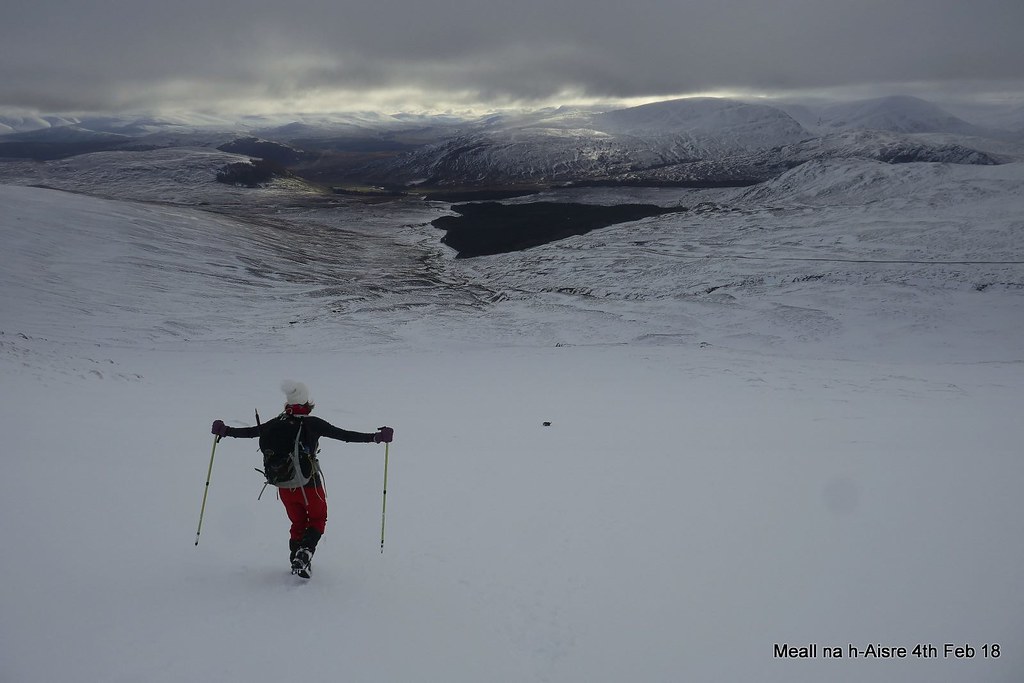
Meall na h-Aisre
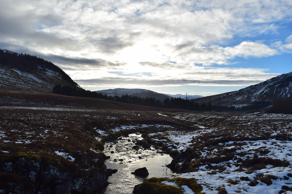
Back at Garva Bridge – our legs were knackered and we could hardly believe how little ascent we had done
As we headed back we met some very tame deer

And it was time for the long drive home – thanks again Colin for a terrific day
