free to be able to rate and comment on reports (as well as access 1:25000 mapping).
After my
Fintry Hills Fiasco the day before I was determined to get Stronend under my belt and as a form of punishment I had decided to head for the summit of Carleatheran first.
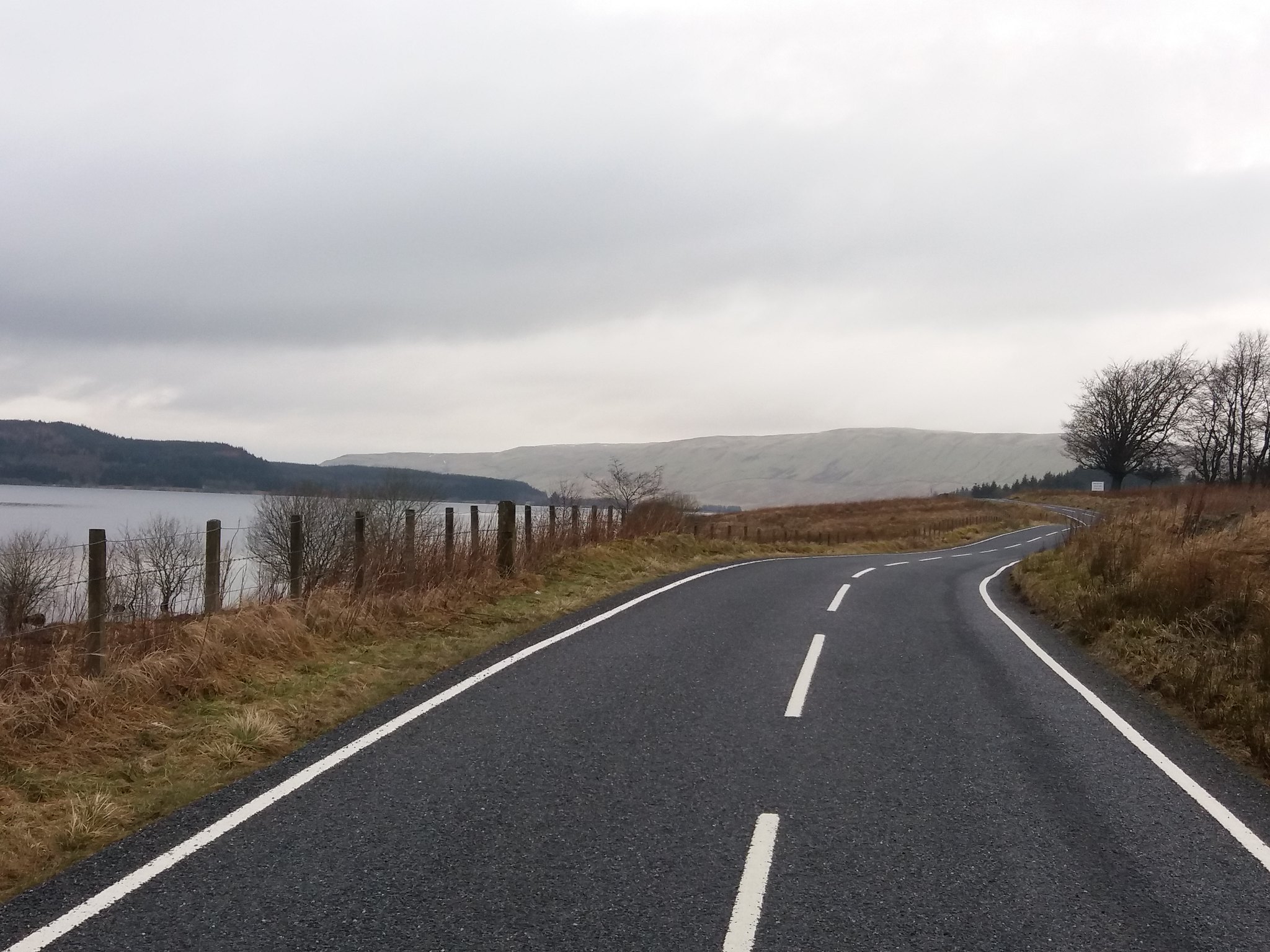
I had walked 13km yesterday and then went to work at 6pm, finishing at 2. I woke late eventually leaving the house and heading for Todholes car park at nearly 11. The Fintry Hills looked cloudy as I drove along side Carron Valley Reservoir.
 20180218_111426
 by
IainHamiltonPhotography, on Flickr
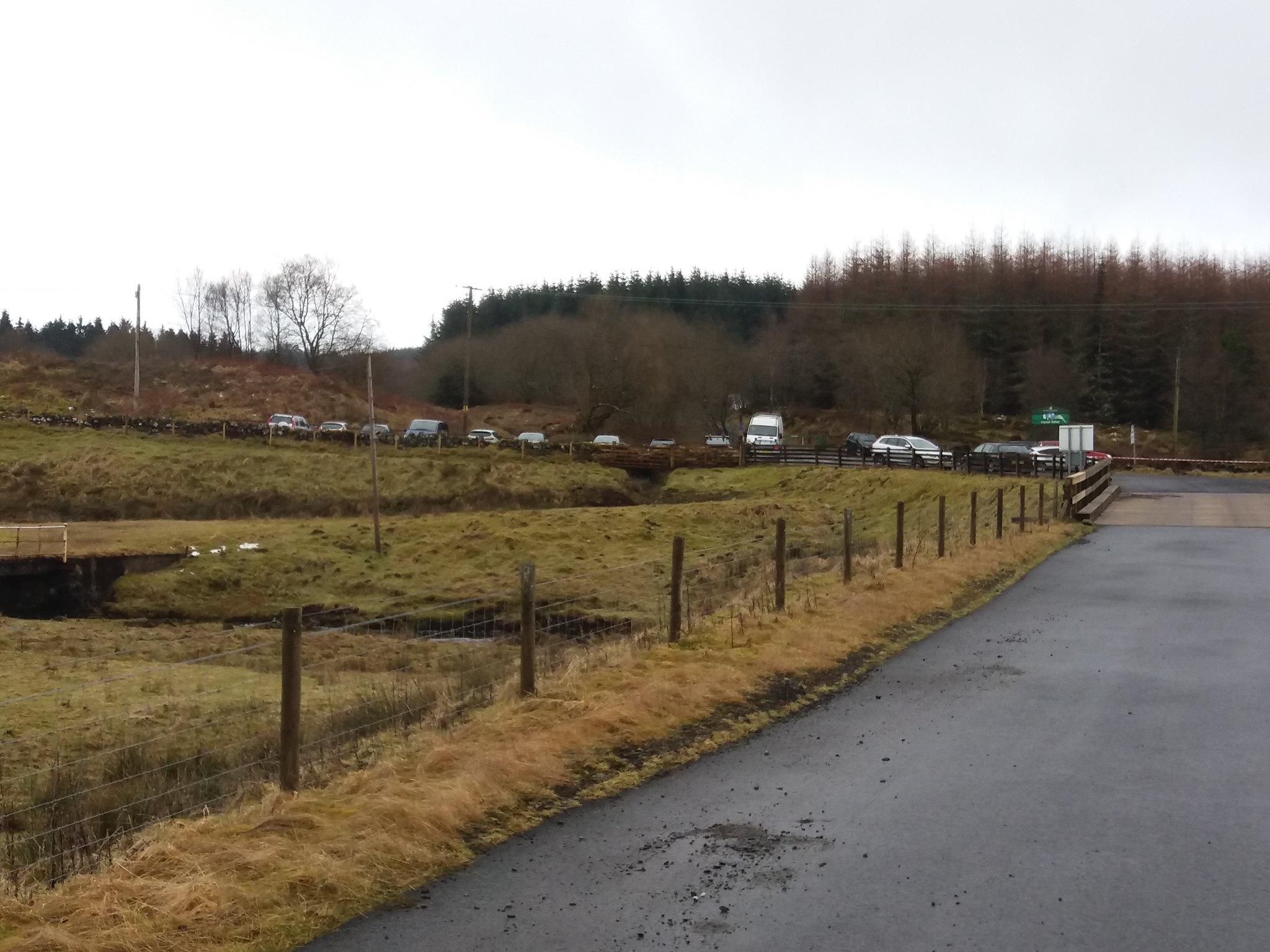
The car park was as busy as ever.
 20180218_112728
 by
IainHamiltonPhotography, on Flickr
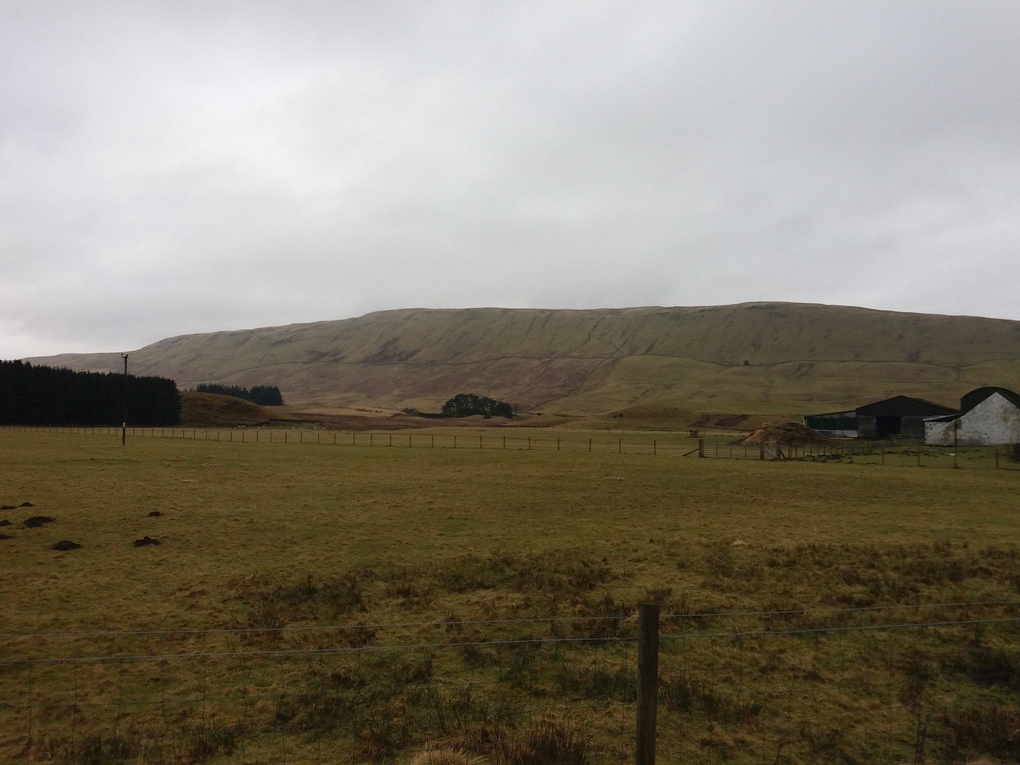
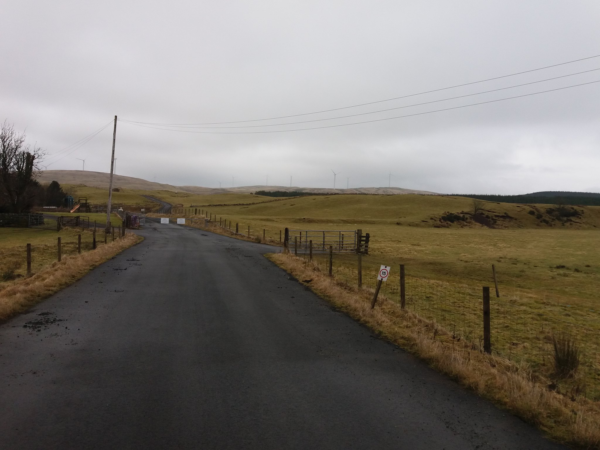
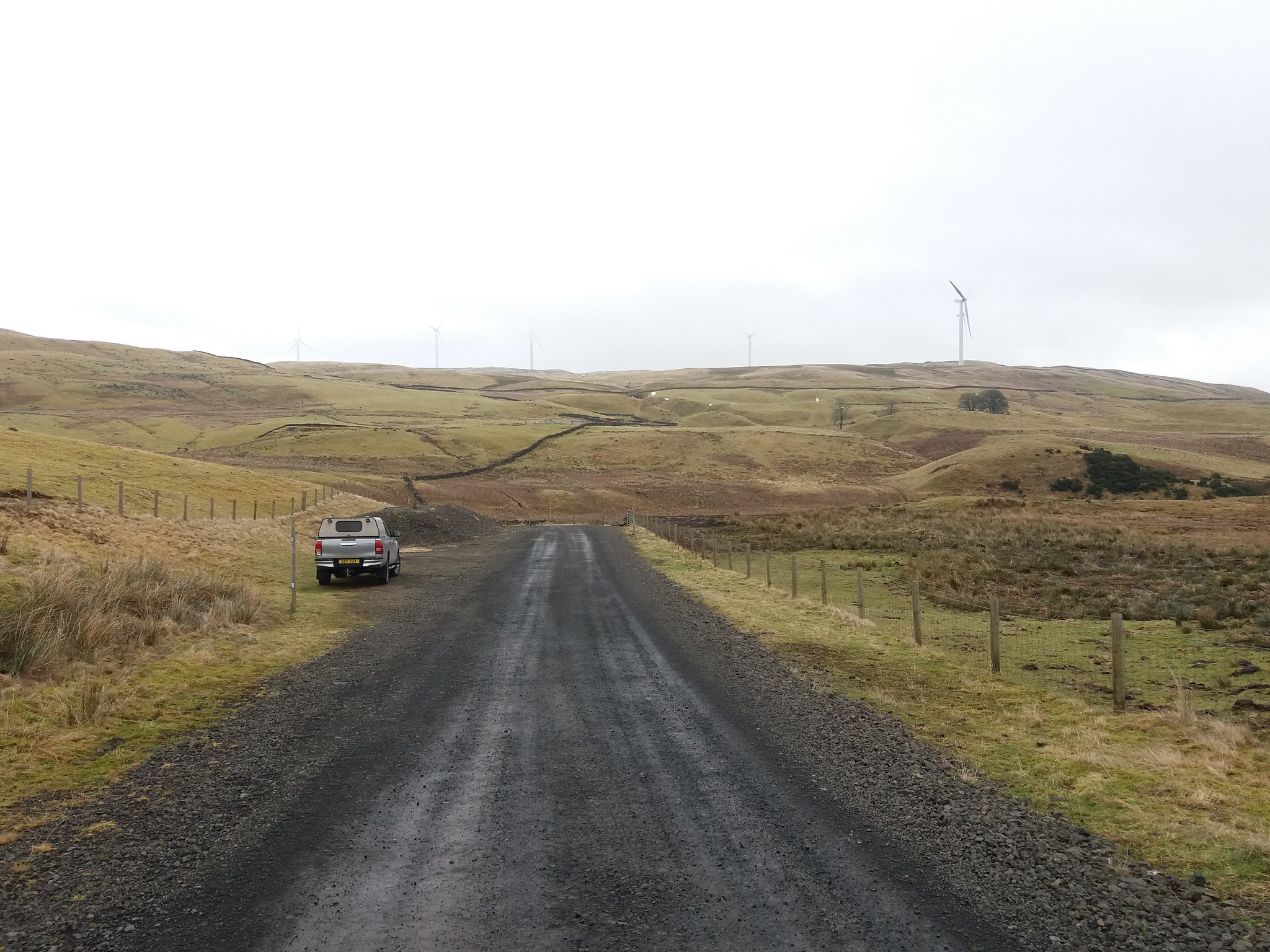
I was quickly out the car and ready, crossing the road and heading towards the wind farm. The skies hadn't improved.
 20180218_112734
 by
IainHamiltonPhotography, on Flickr
 20180218_112741
 by
IainHamiltonPhotography, on Flickr
My plan was to follow the road as far as possible and then take a bearing and head for the trig at Carleatheran.
 20180218_114236
 by
IainHamiltonPhotography, on Flickr
They've added quite a bit more to wind farm site, so there are a few more direction choices as I climb. Take the left road here.
 20180218_114418
 by
IainHamiltonPhotography, on Flickr
Keeping Cringate Law to the right and Backside Burn to the left.
 20180218_114503
 by
IainHamiltonPhotography, on Flickr
Looking up the path of the Backside Burn towards the east face of Stronend and the crags, I see the cloud is falling.
 20180218_114825
 by
IainHamiltonPhotography, on Flickr
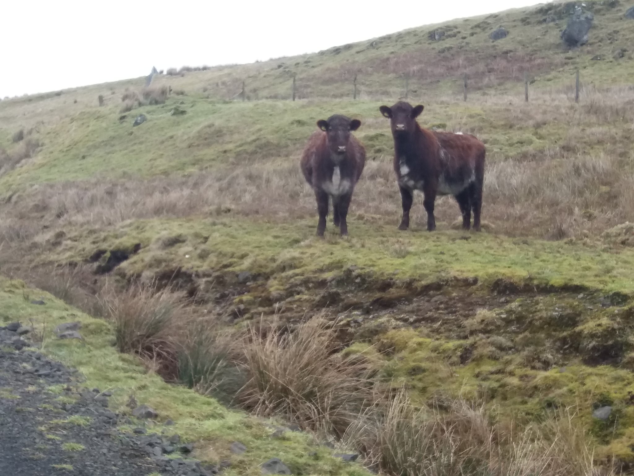
Two of the locals look on suspiciously.
 20180218_115152
 by
IainHamiltonPhotography, on Flickr
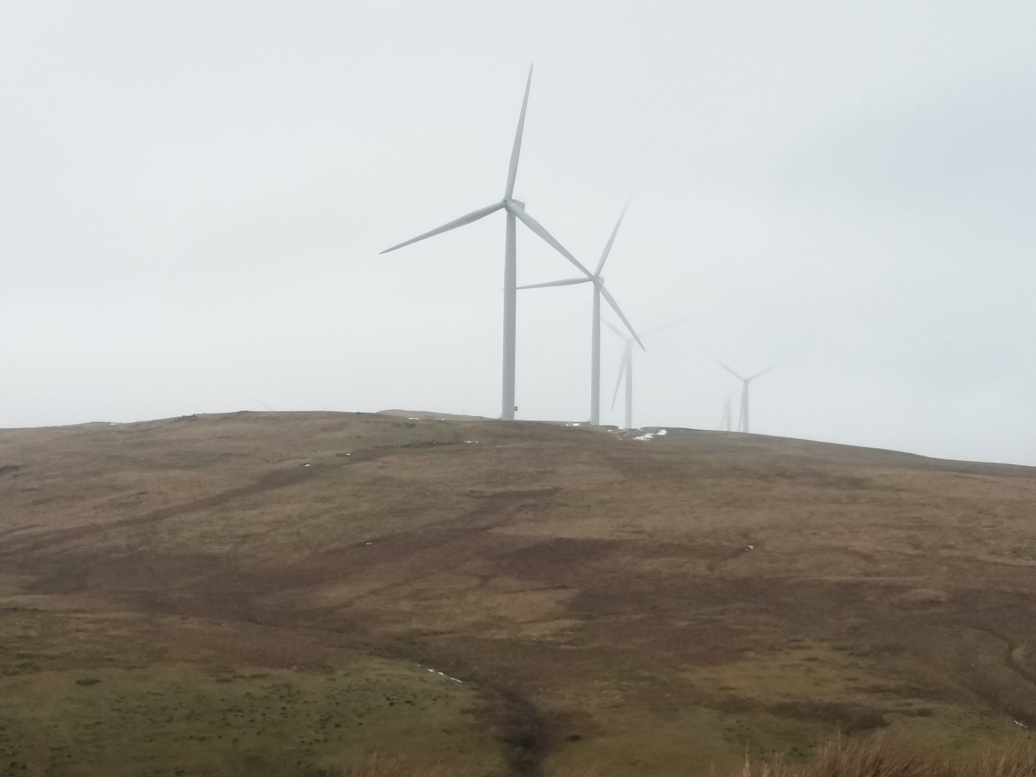
As the road starts to bend you catch a view of some of the newer turbines on Ling Hill.
 20180218_115407
 by
IainHamiltonPhotography, on Flickr
Some people are not a fans of these structures, personally I like the fact that as a country we can produce about 50% of our energy needs from renewable sources. I have memories of Windy Millar standing in front of his windmill, I get that feeling as I stand here.
 20180218_115834
 by
IainHamiltonPhotography, on Flickr
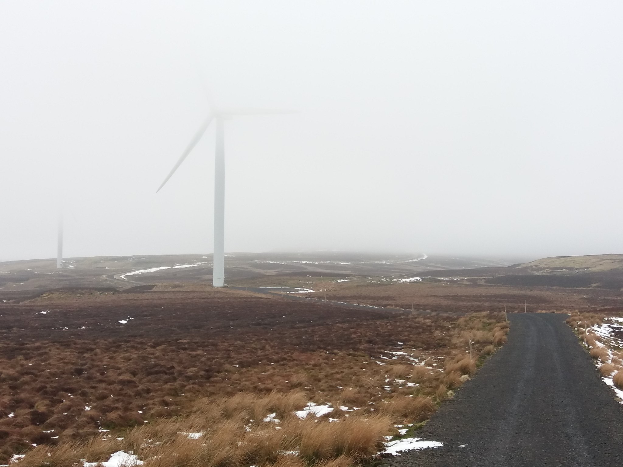
Looking up at the wandering new section of snow lined road leading towards Carleatheran.
 20180218_121945
 by
IainHamiltonPhotography, on Flickr
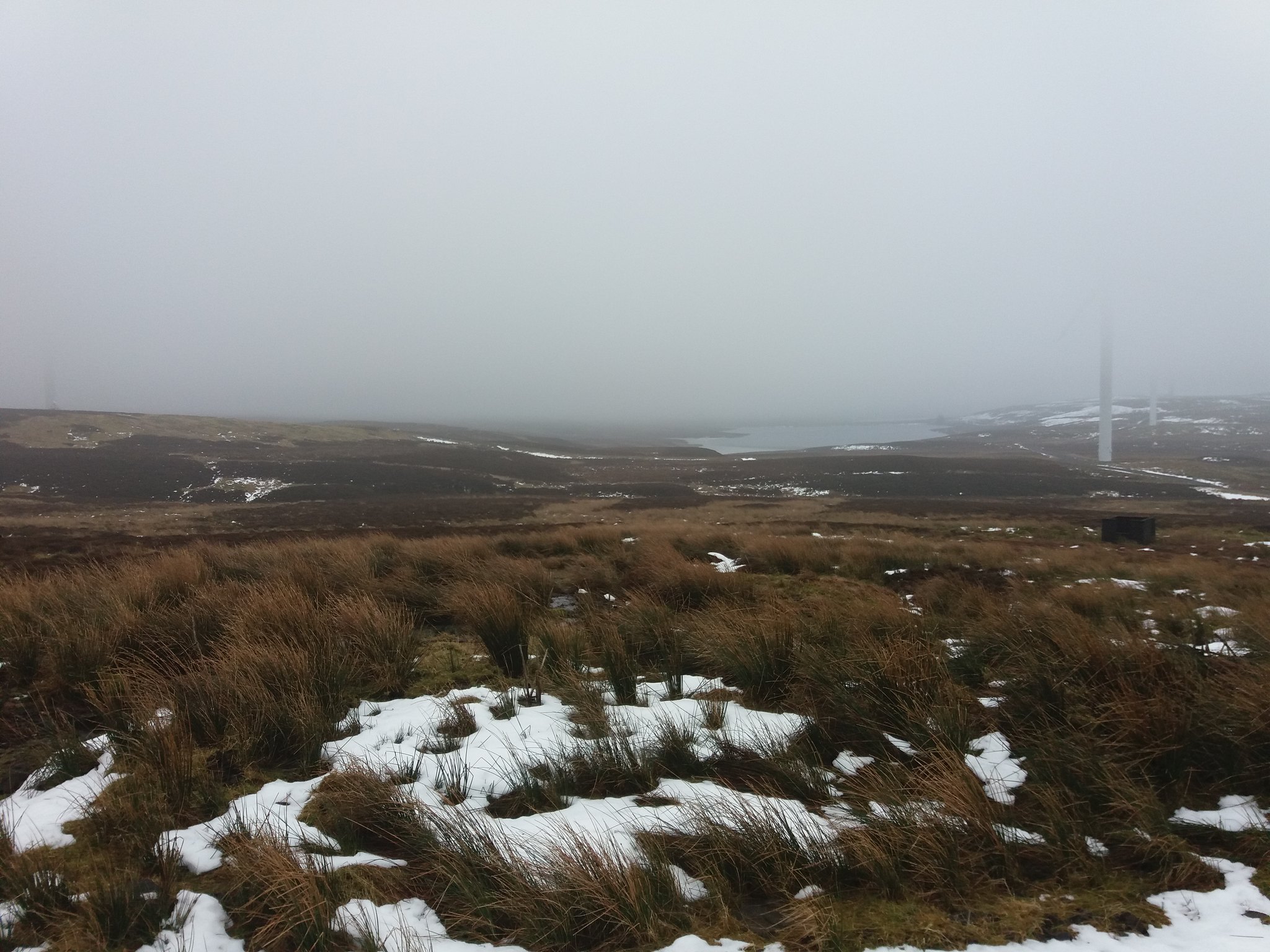
A fleeting glimpse of Earlsburn Reservoir nestled under the cloud.
 20180218_122104
 by
IainHamiltonPhotography, on Flickr
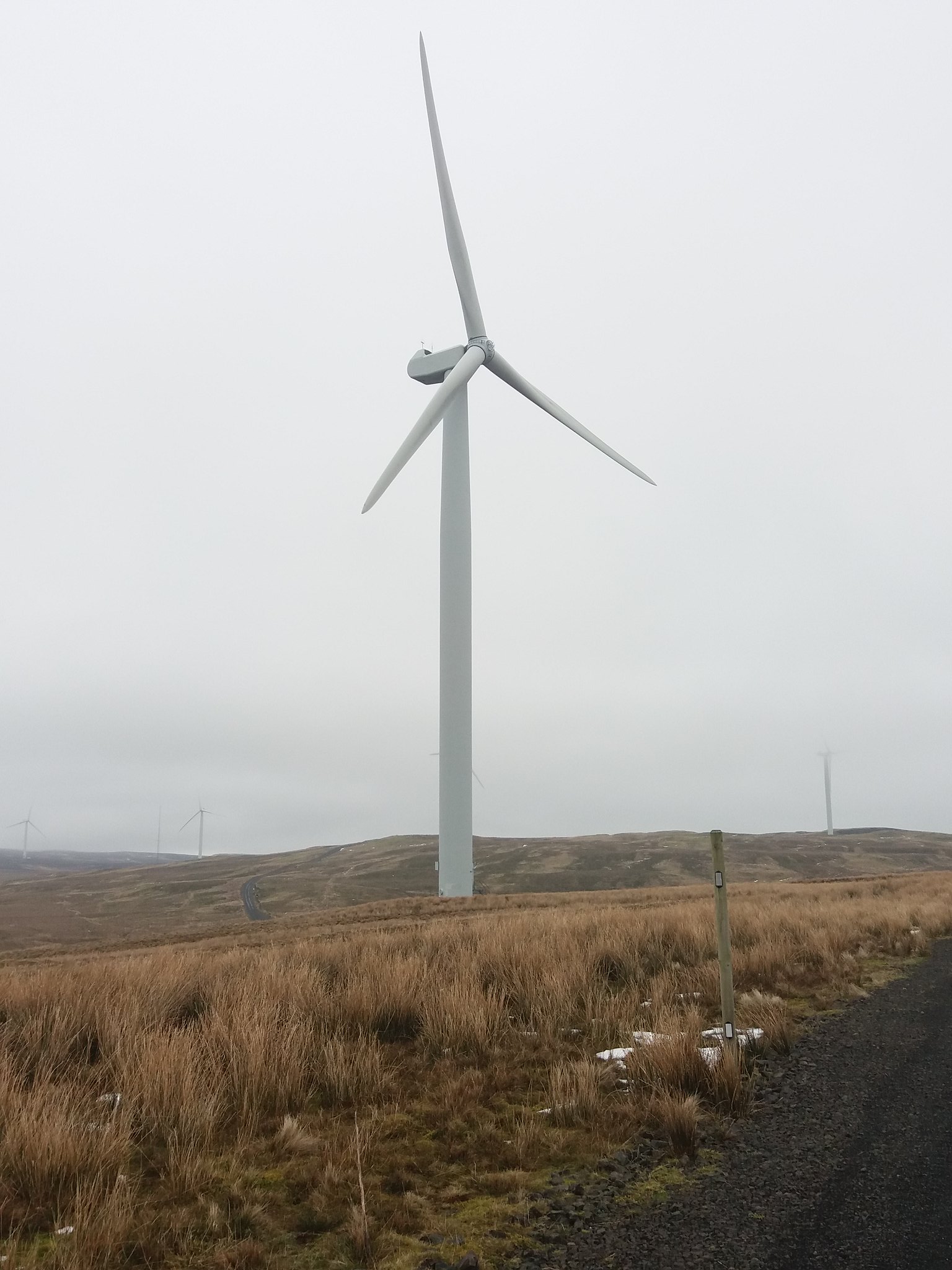
It always surprises me when I get close up and personal to these technological wonders, rising out of the ground like giant prehistoric animals as they growl and bellow in the wind.
 20180218_122259
 by
IainHamiltonPhotography, on Flickr
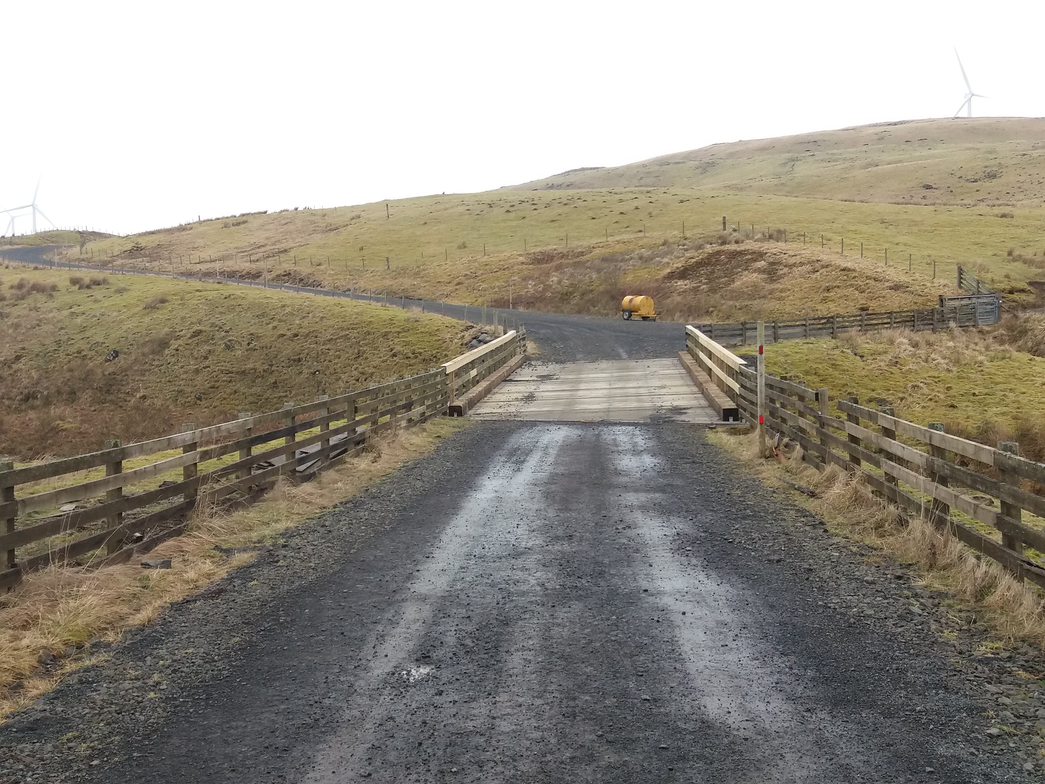
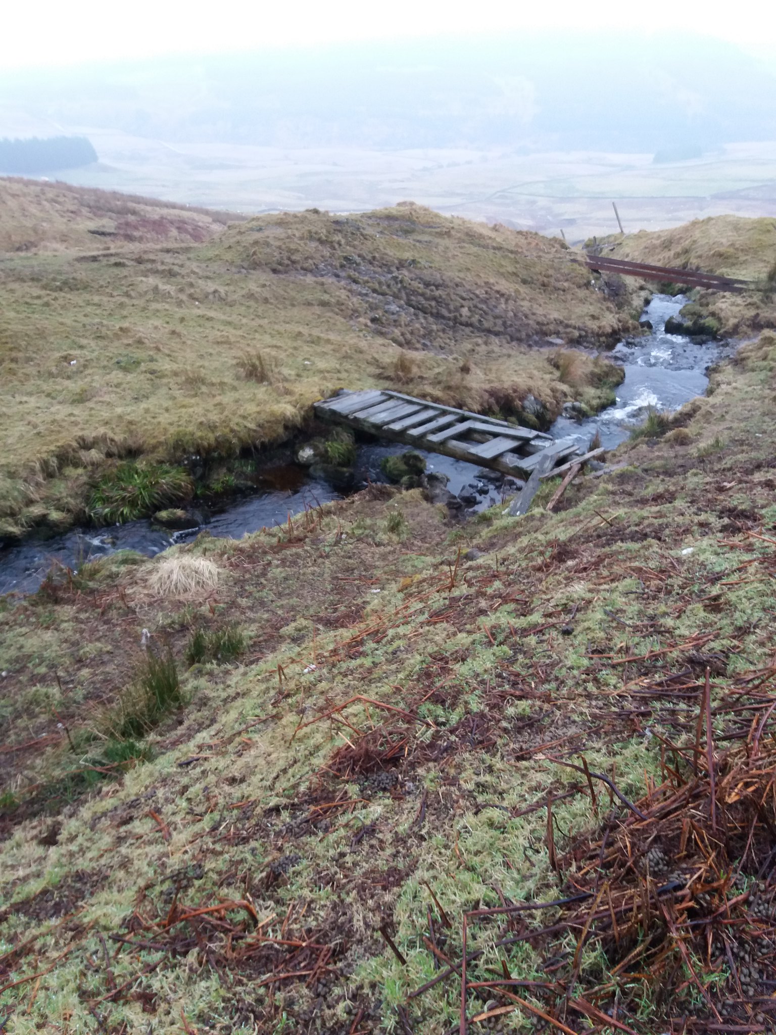
I follow the road towards a gleaming red gate marking the entrance to a new section of the farm. As I pass through I spot a small plank to the left, fixed at either end, crossing over a stream with a metal cage in the middle. A form a trap, rats maybe.
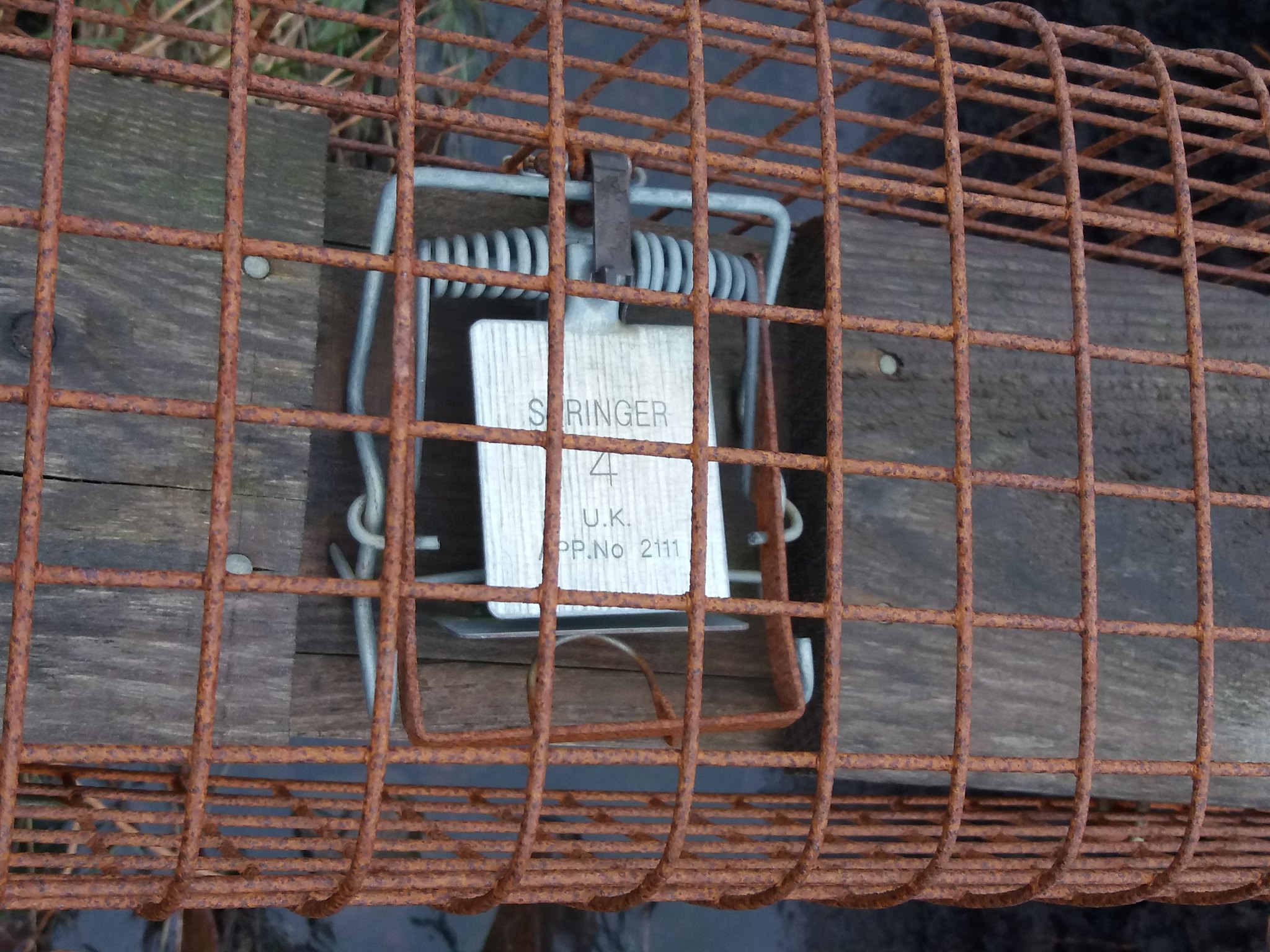 20180218_122744
 by
IainHamiltonPhotography, on Flickr
Looking back as I follow the road.
 20180218_123047
 by
IainHamiltonPhotography, on Flickr
A line of strange wooden structures disappear into the cloud.
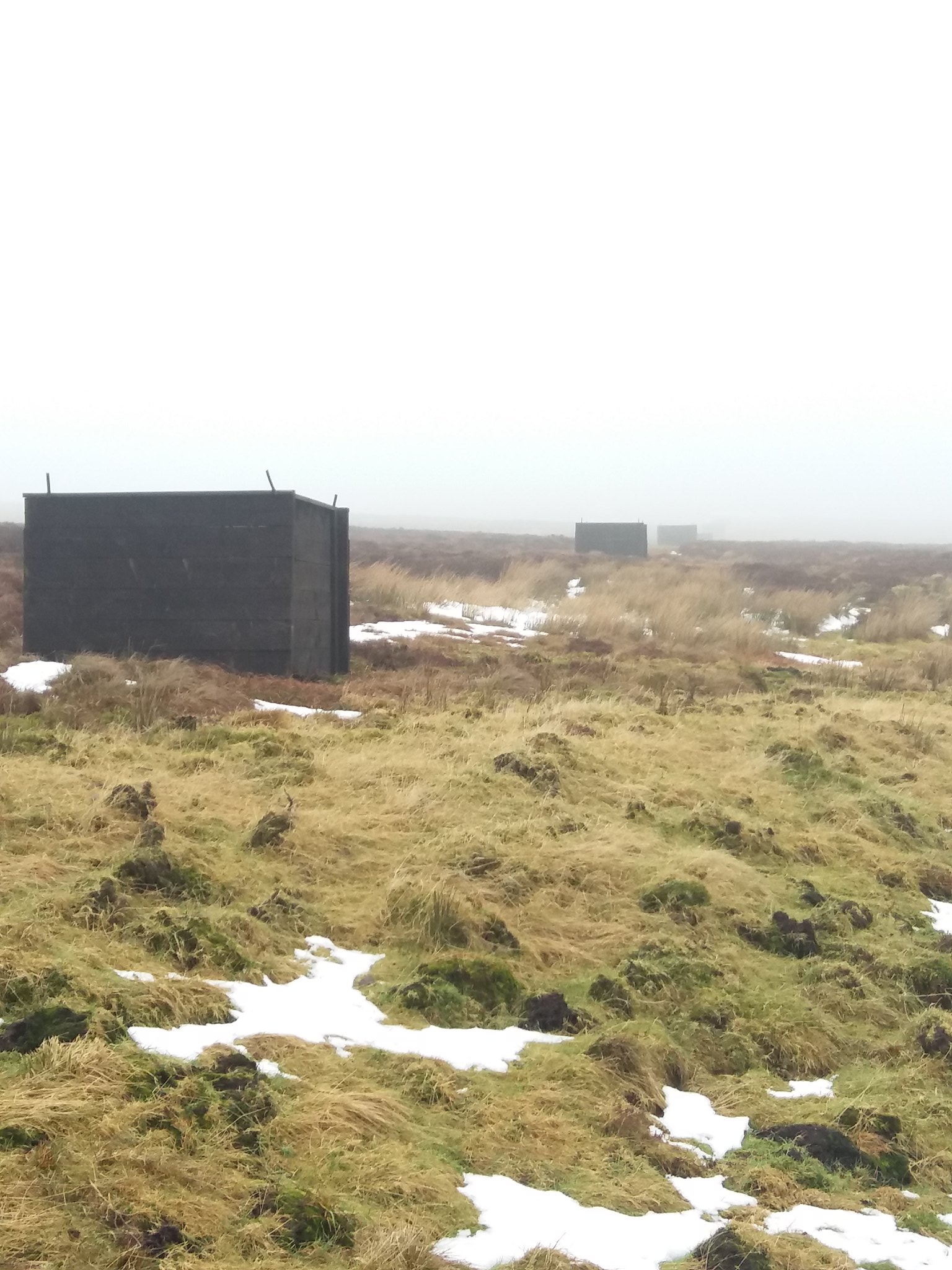 20180218_123125
 by
IainHamiltonPhotography, on Flickr
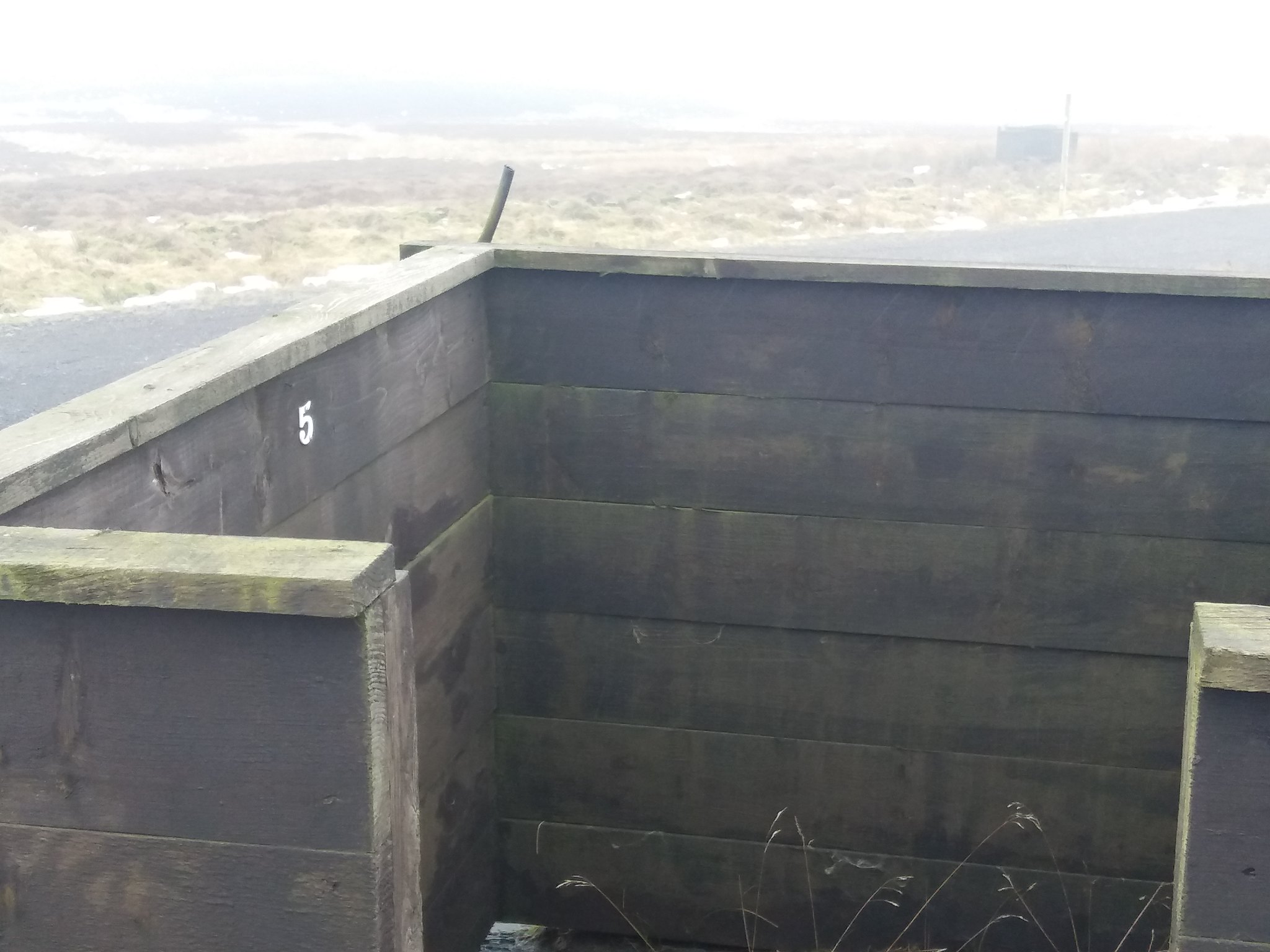
Grouse butts I believe.
 20180218_123209
 by
IainHamiltonPhotography, on Flickr
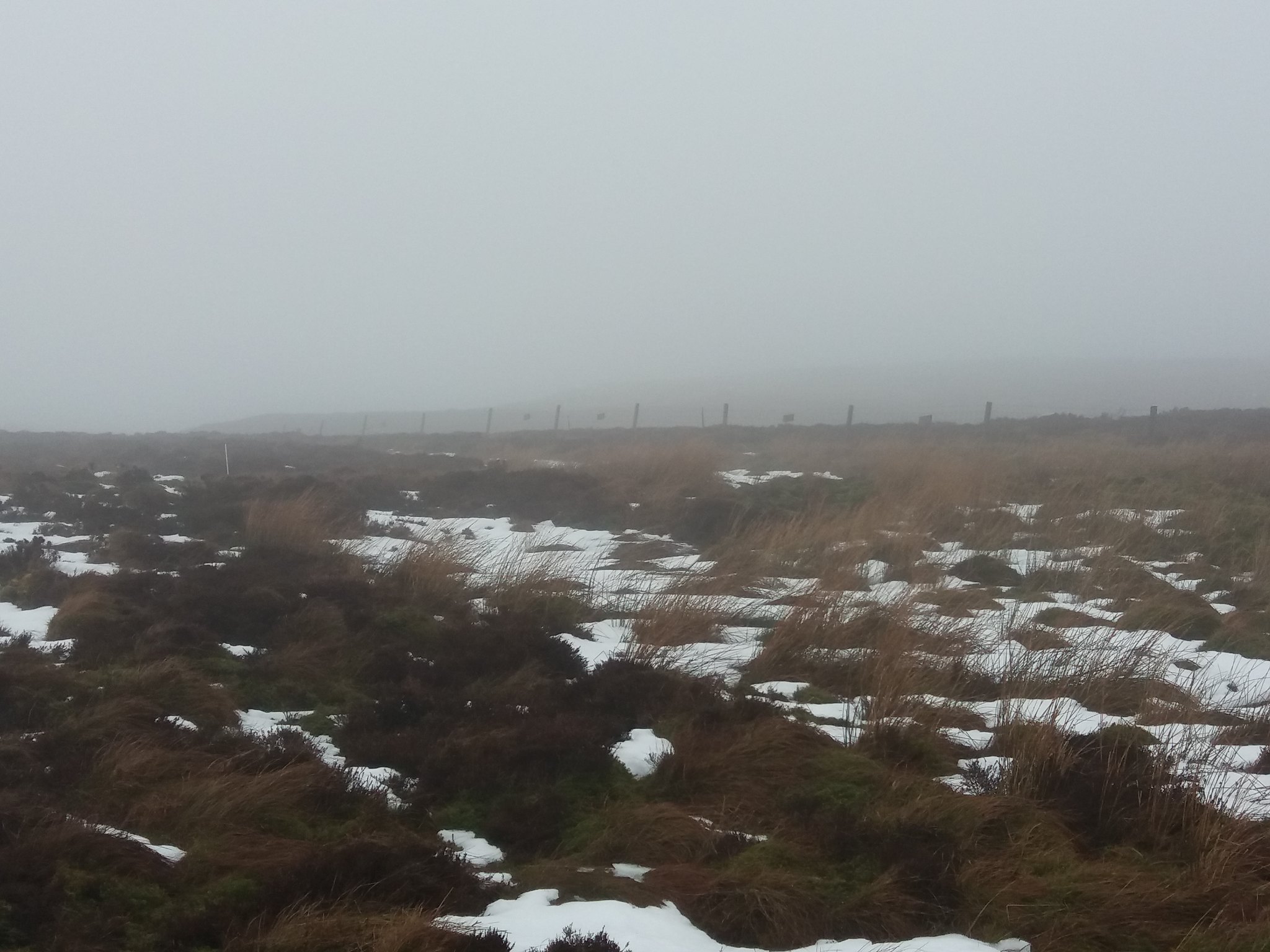
A fence line grows out of the cloud. Letting me know approximately where I am.
 20180218_124213
 by
IainHamiltonPhotography, on Flickr
I take a bearing and strike off from the road towards the summit, avoiding a deep snow filled hollow the large cairn and trig soon appear.
 20180218_125312
 by
IainHamiltonPhotography, on Flickr
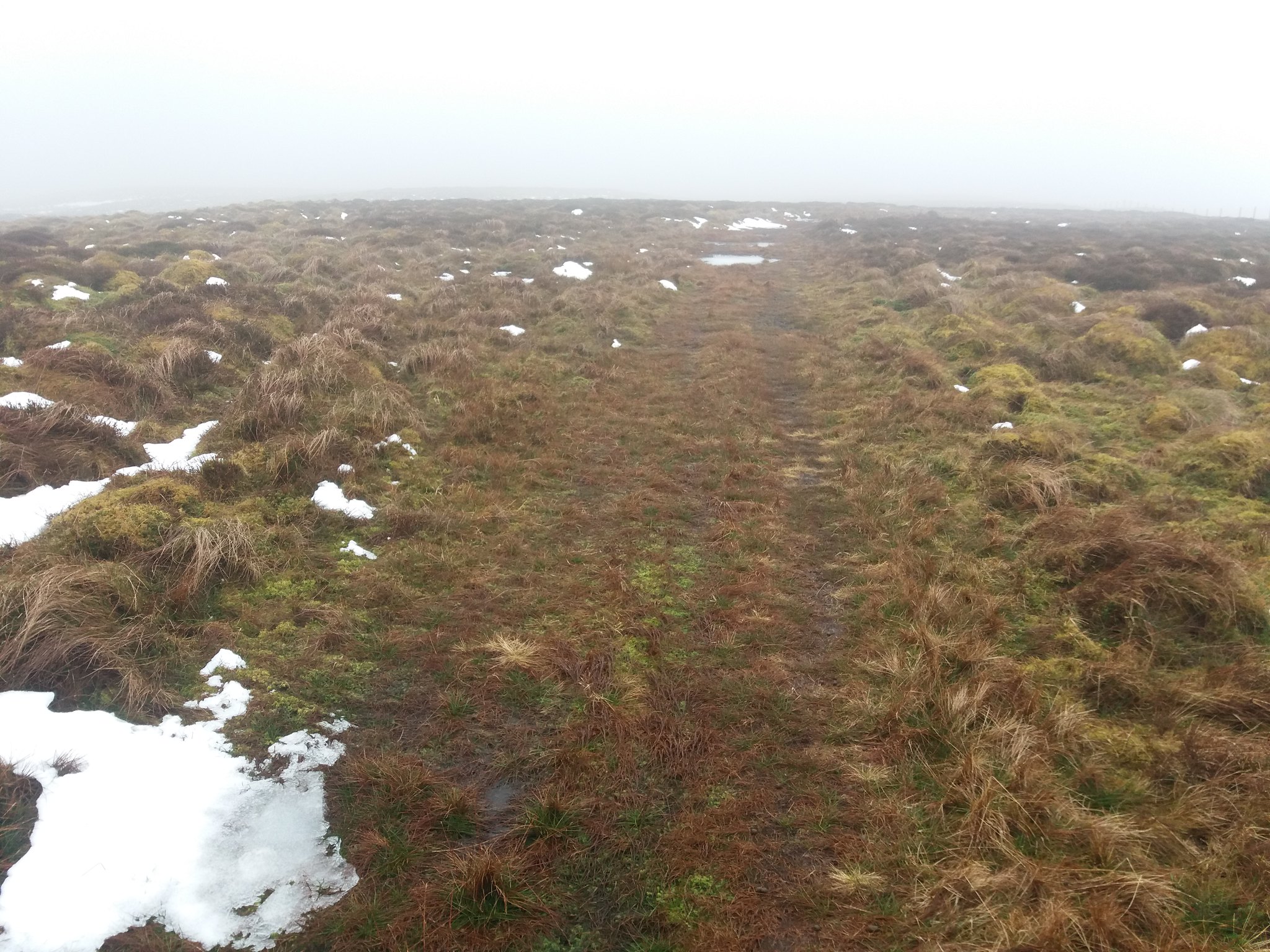
A few quick Jelly Babies and some liquid refreshment, I take another bearing towards a landrover track marked on the map and head off into the gloom, I surprise a few grouse as I slog over the rough tufted ground. Keeping a good bearing is almost impossible at times, eventually I've walked far enough I must have drifted from my course, I take a more direct bearing and success I find the track I'm after.
 20180218_132751
 by
IainHamiltonPhotography, on Flickr
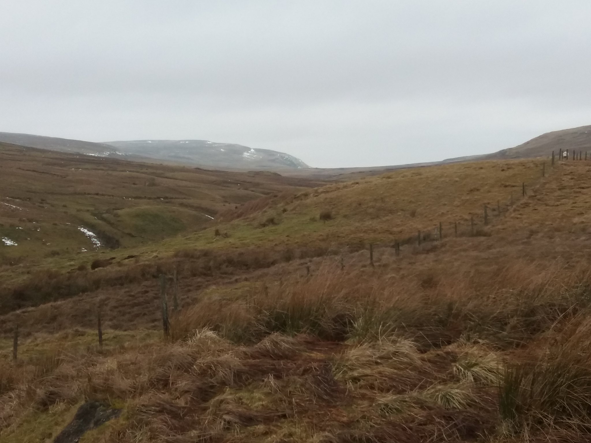
A follow the track onwards to the 2nd half of my planned route, the cloud is still thick and low as I look down the Craig to my right.
 20180218_133159
 by
IainHamiltonPhotography, on Flickr
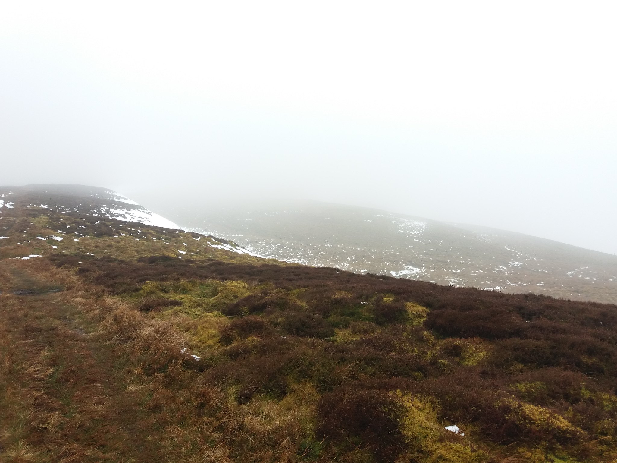
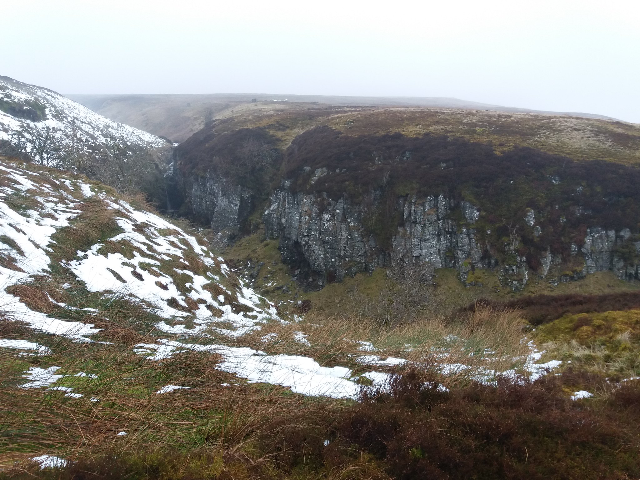
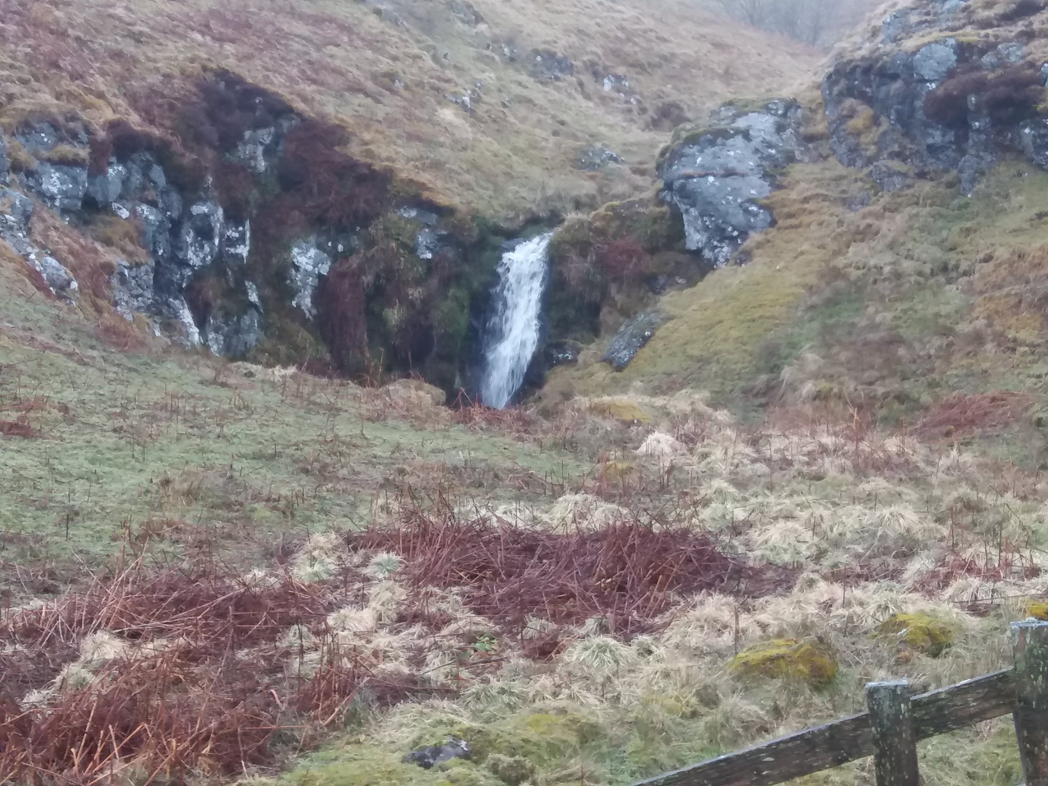
I head downwards from the side of Lees Hill crossing the basin between Carleatheran and Stronend and start to climb past the rock face and the Spout of Ballochleam. Quite an impressive site as a look across.
 20180218_141711
 by
IainHamiltonPhotography, on Flickr
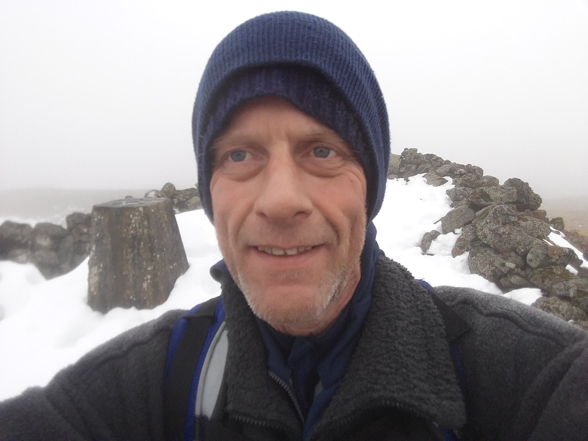
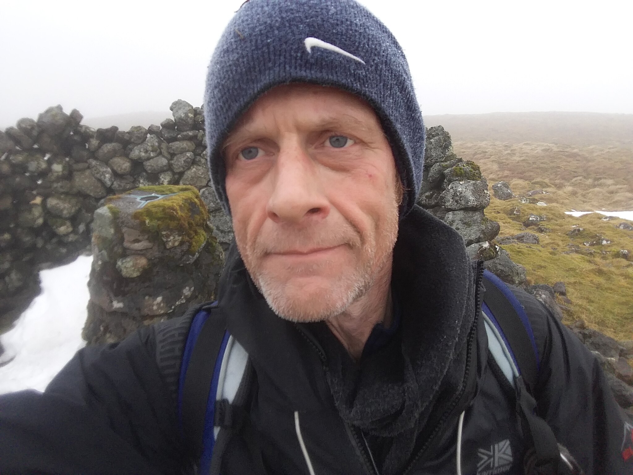
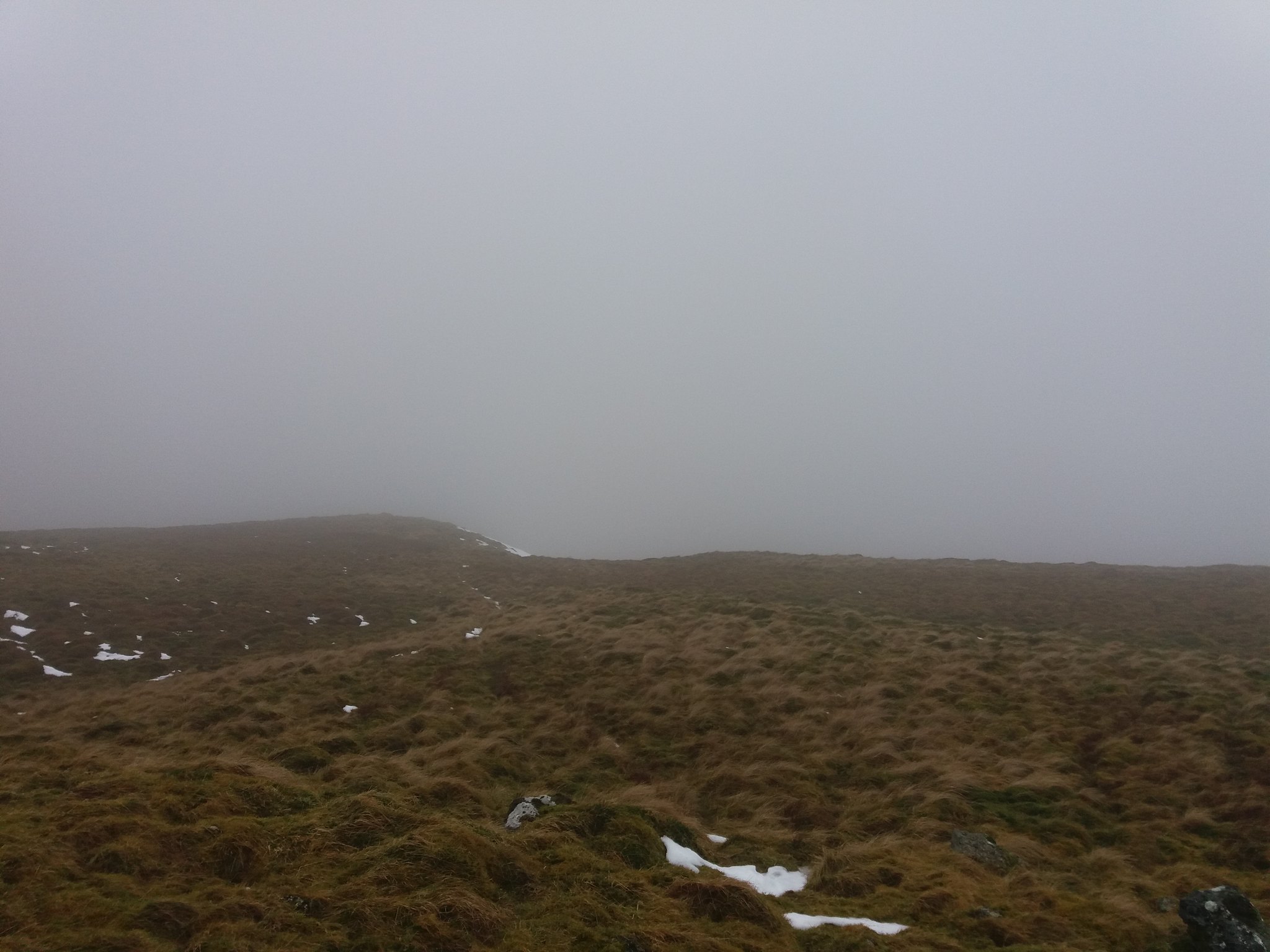
My intention was to make directly for the summit from here, but a large steep very wet section ment I had to make quite a large detour before I again take a bearing for the summit. Plenty of thick heather coated with snow, hidden streams and holes makes the going slow, but eventually after nearly an hour I find the trig and cairn at the top of Stronend.
 20180218_150522
 by
IainHamiltonPhotography, on Flickr
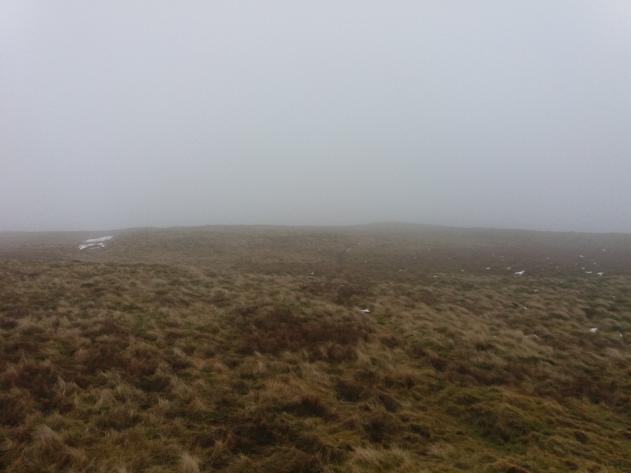
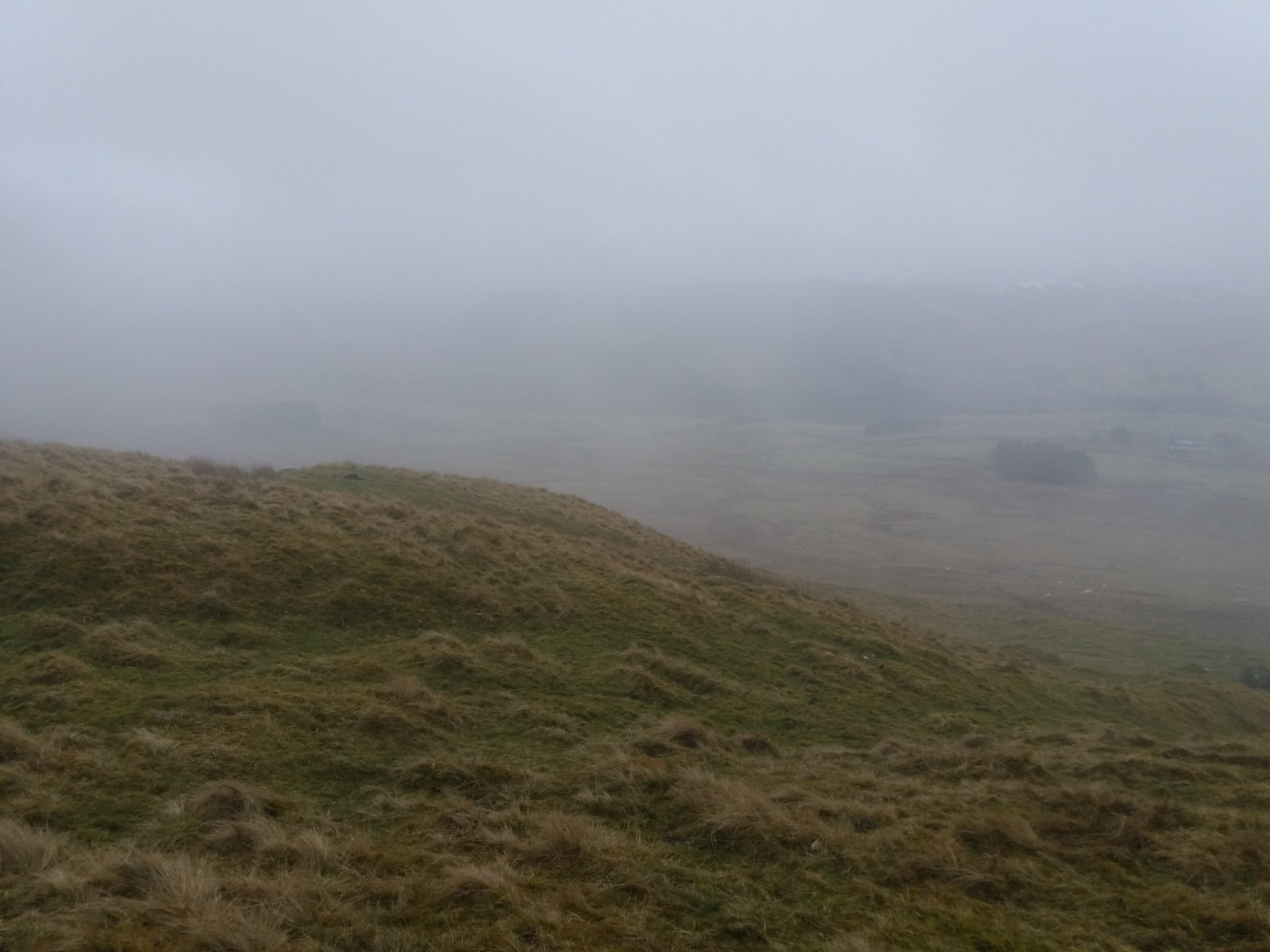
Now for the final section back to the car. My initial plan had been to copy my return from yesterday and continue along the line of the ridge, but the cloud was thick and my time was getting short before work again at night.
 20180218_150758
 by
IainHamiltonPhotography, on Flickr
 20180218_150753
 by
IainHamiltonPhotography, on Flickr
So I started to follow the drop of the hill heading for Balmenoch Burn, hopefully out of the cloud.
 20180218_155433
 by
IainHamiltonPhotography, on Flickr
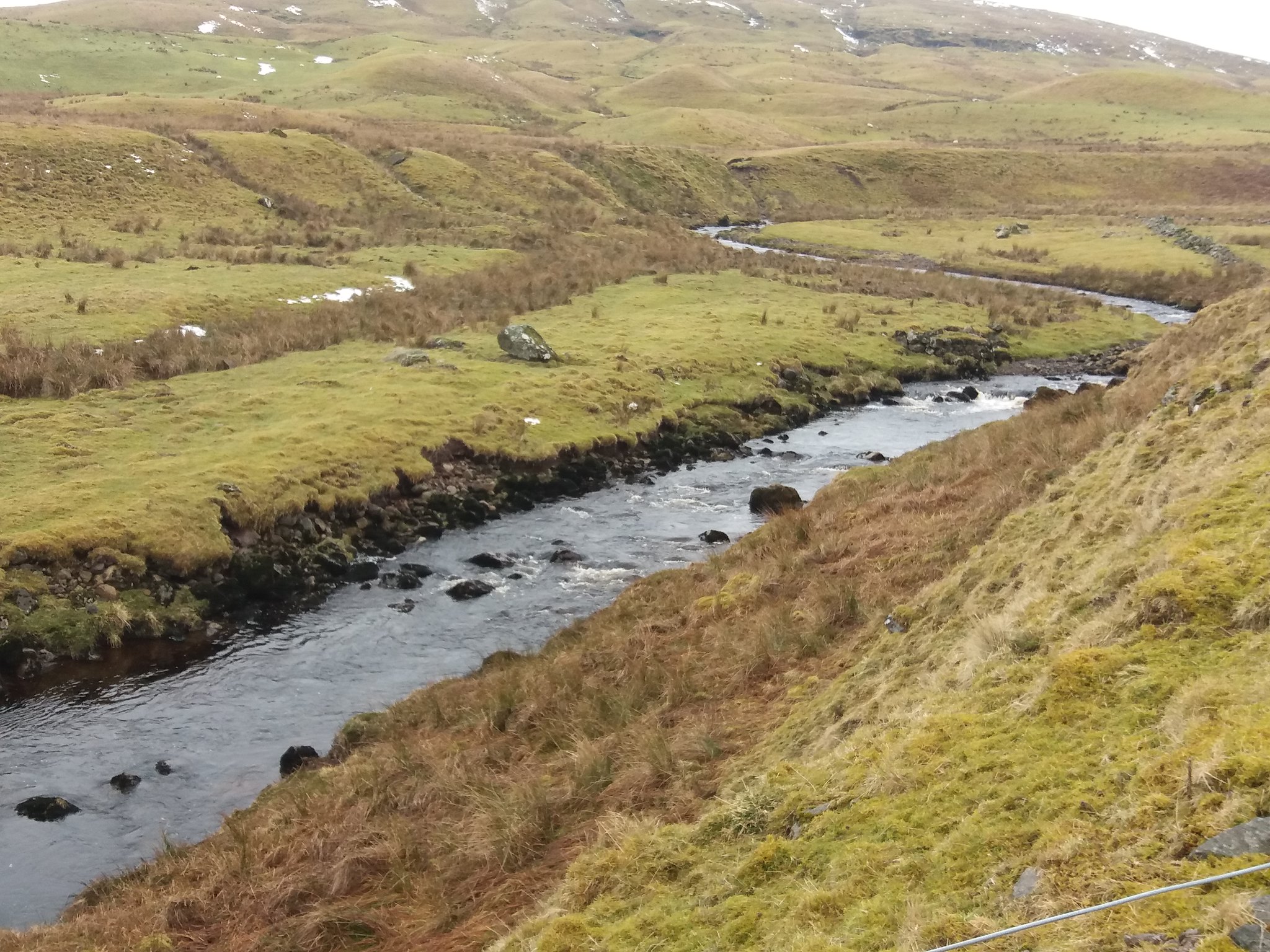
Eventually finding the burn.
 20180218_155718
 by
IainHamiltonPhotography, on Flickr
...and the waterfall.
 20180218_155810
 by
IainHamiltonPhotography, on Flickr
Even looking along the hill to the lower slopes there is a covering of cloud.
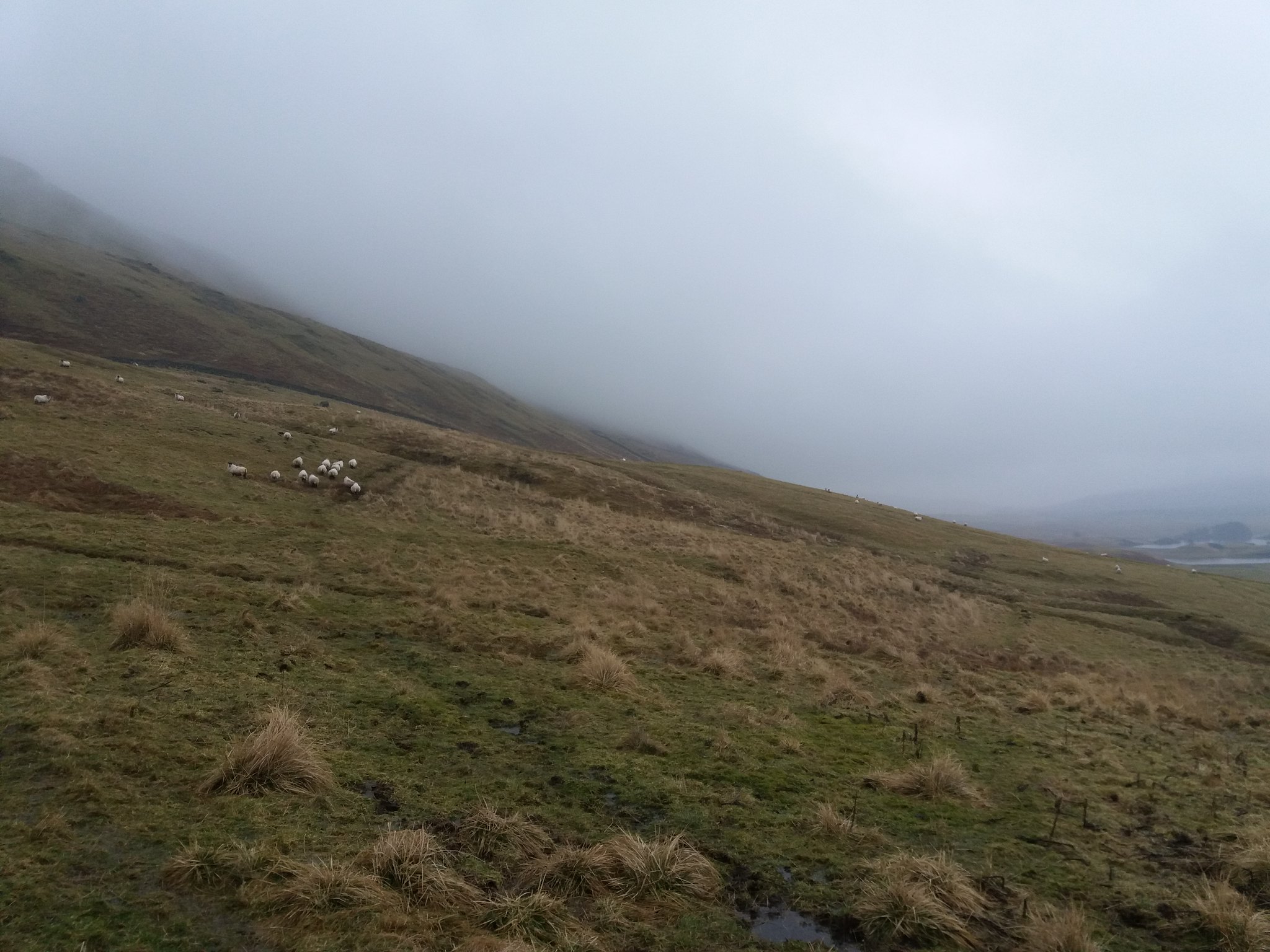 20180218_160633
 by
IainHamiltonPhotography, on Flickr
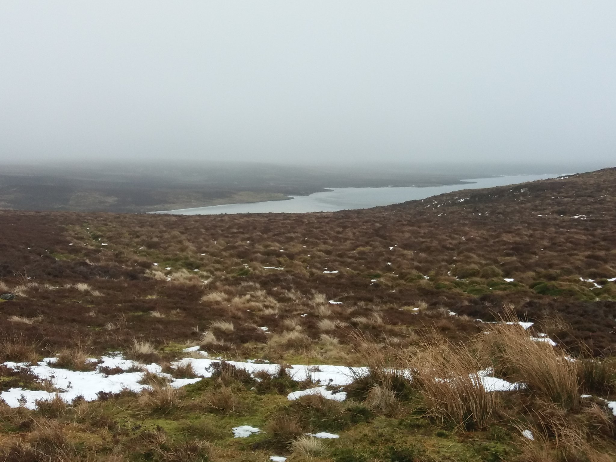
Passing by the sheepfold and then Loch Walton, the cloud looks even lower on the slopes.
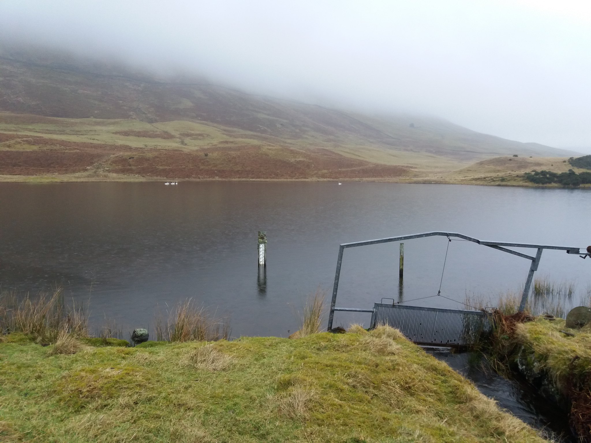 20180218_161754
 by
IainHamiltonPhotography, on Flickr
A last look back at the trees on the island in the Loch, before I walk back to the car on a short section of the road.
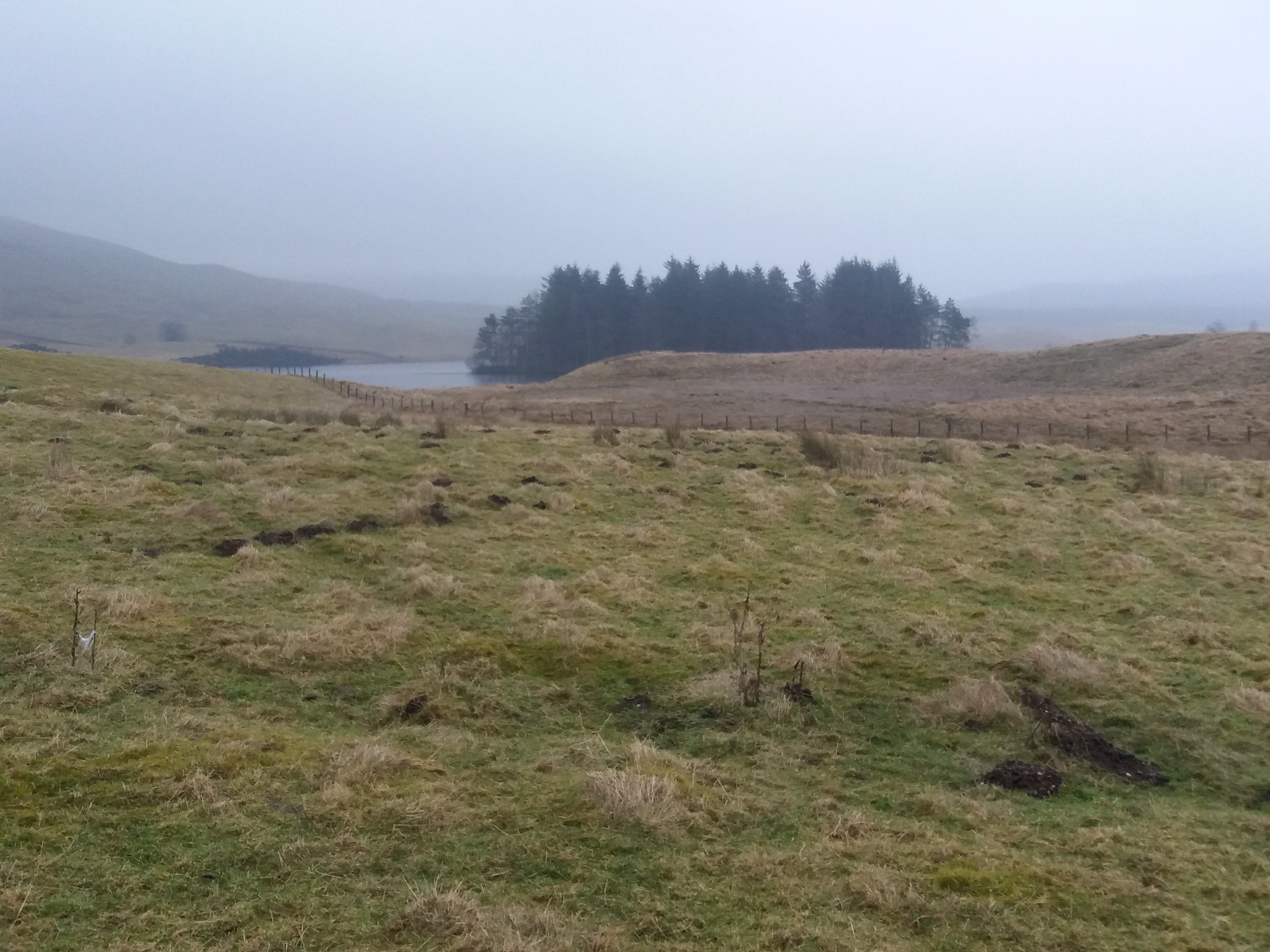 20180218_162028
 by
IainHamiltonPhotography, on Flickr
Back at the car for just after 4:30, 5 hours and I had eventually bagged Stronend. Just enough time for me to get home, washed and changed for work.
Still Living "Just For Today"
