free to be able to rate and comment on reports (as well as access 1:25000 mapping).
This was a very short notice outing, well for me anyway. The forecast for Tuesday was the only decent day after the recent visit by the Beast from the East, so on Monday I asked George if he fancied getting some fresh air and like me was ultra keen to get out. My initial plan was to tackle Broughton Heights again, as there was a possibility that Parminder was going to join us, but once George updated me regarding Parminder being in demand elsewhere I suggested a change of plan as although Broughton Heights is a good route I fancied a new challenge.
I did the usual research and opted for 3 Marilyns that were easily achieveable even with a 9am departure. Later in the evening I also plotted a route for Sell Moor Hill that we could maybe squeeze in if we had time.
So 9am arrived and off we set, catching up on 3 weeks worth of the latest home developments.
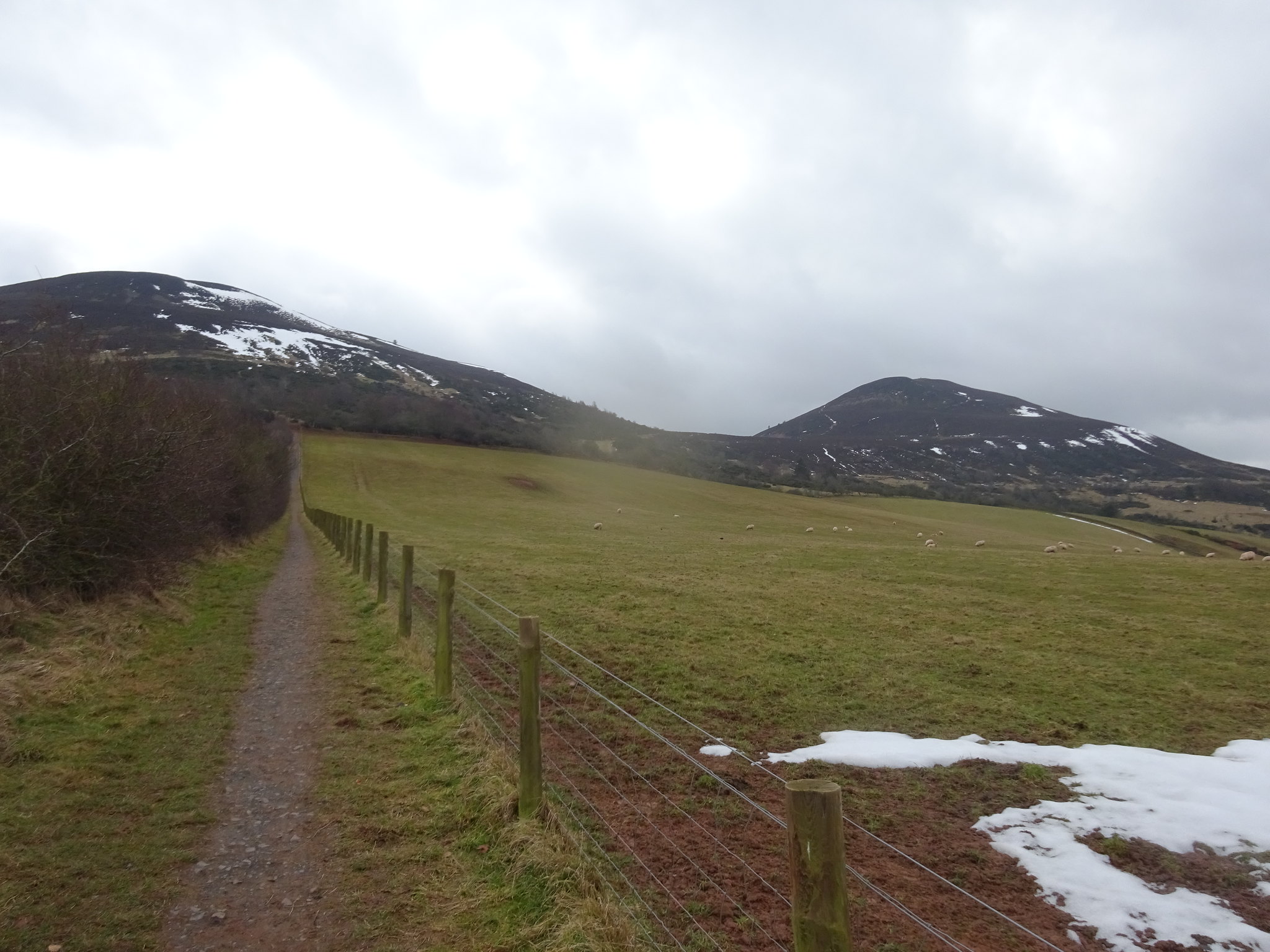
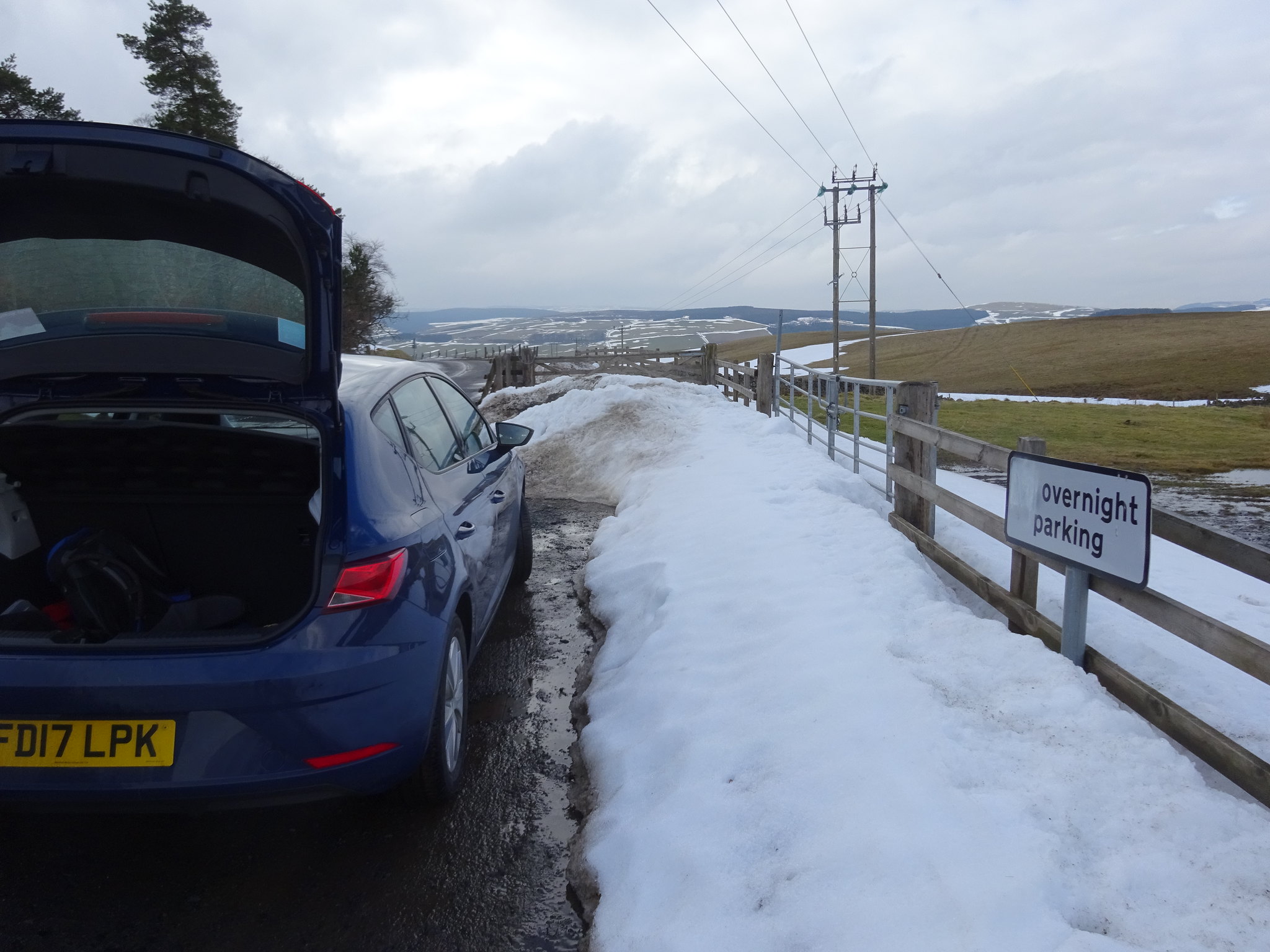
The plan was to tackle the hills in a kind of clockwork route, driving to the planned start of each one, so the first port of call was Black Hill. There is a layby of sorts that can take 3 cars and it was a tad on the muddy side when we pulled up, but that was to be expected.

Parking area
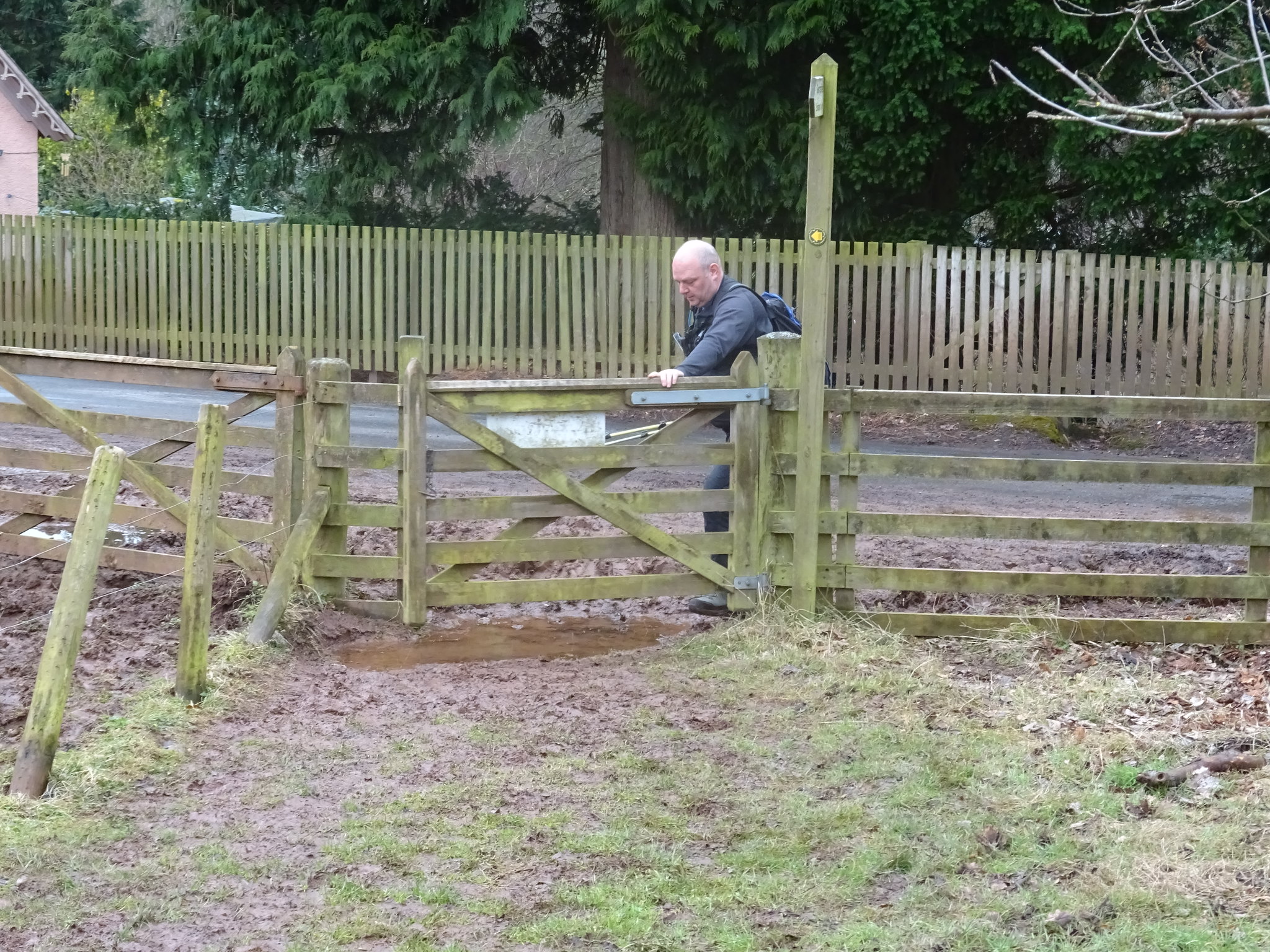
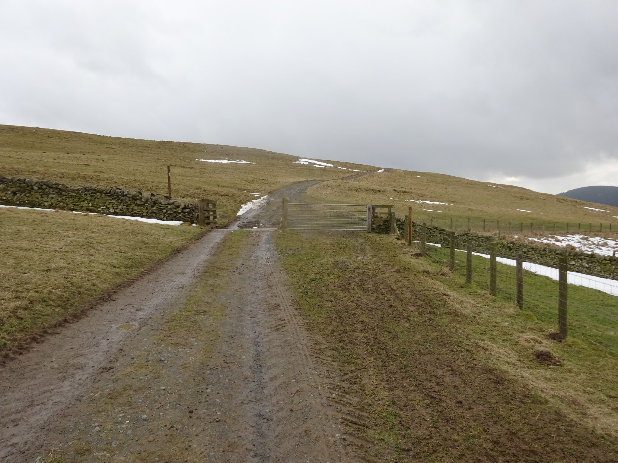
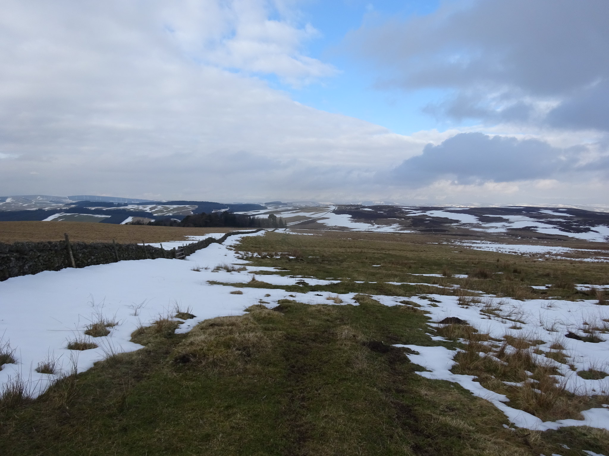
We set off on our travels at 10.15 and it wasn't long before we were huffing and puffing and my fleece was removed. There are a few small gates to negotiate before you start properly ascending.
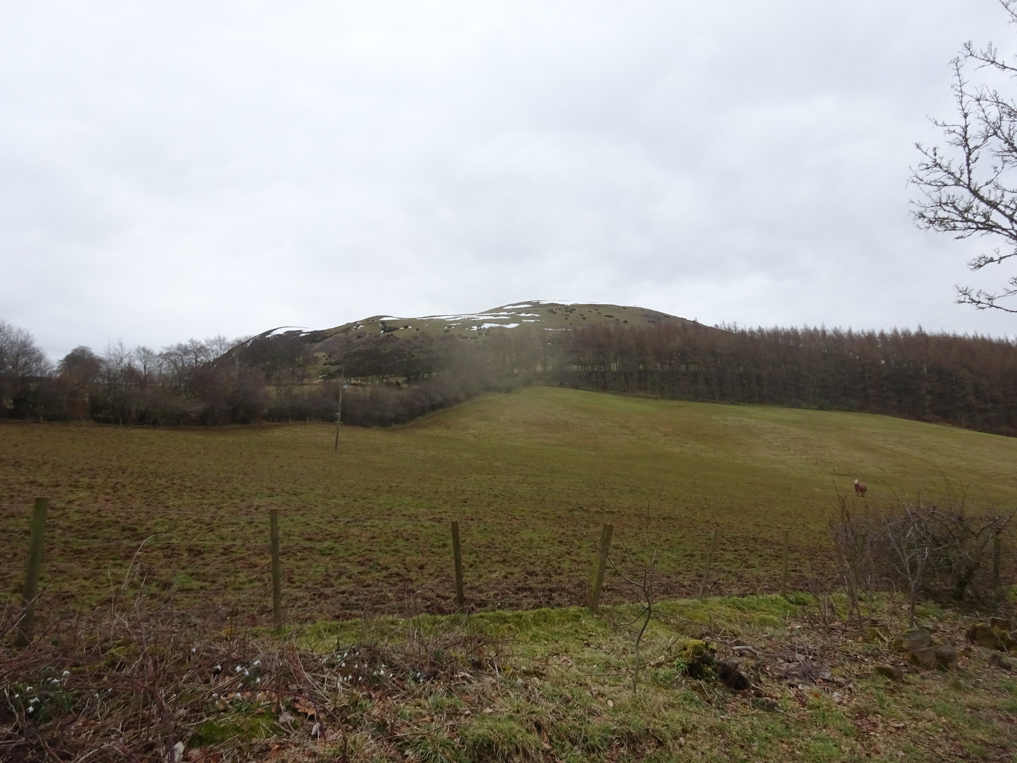
Black Hill not that far away
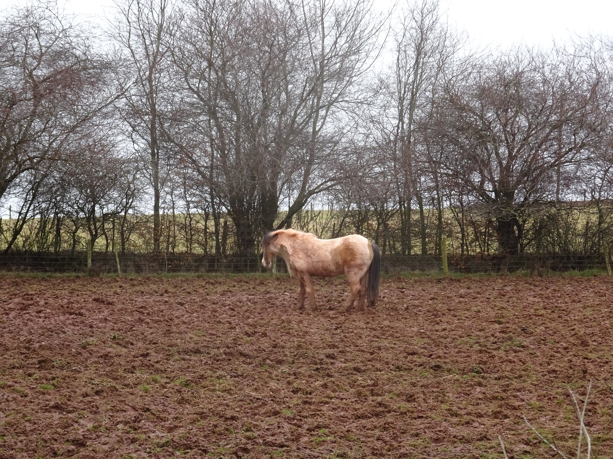
Horse not looking overly happy, distinct lack of grass
A sign of what was to come
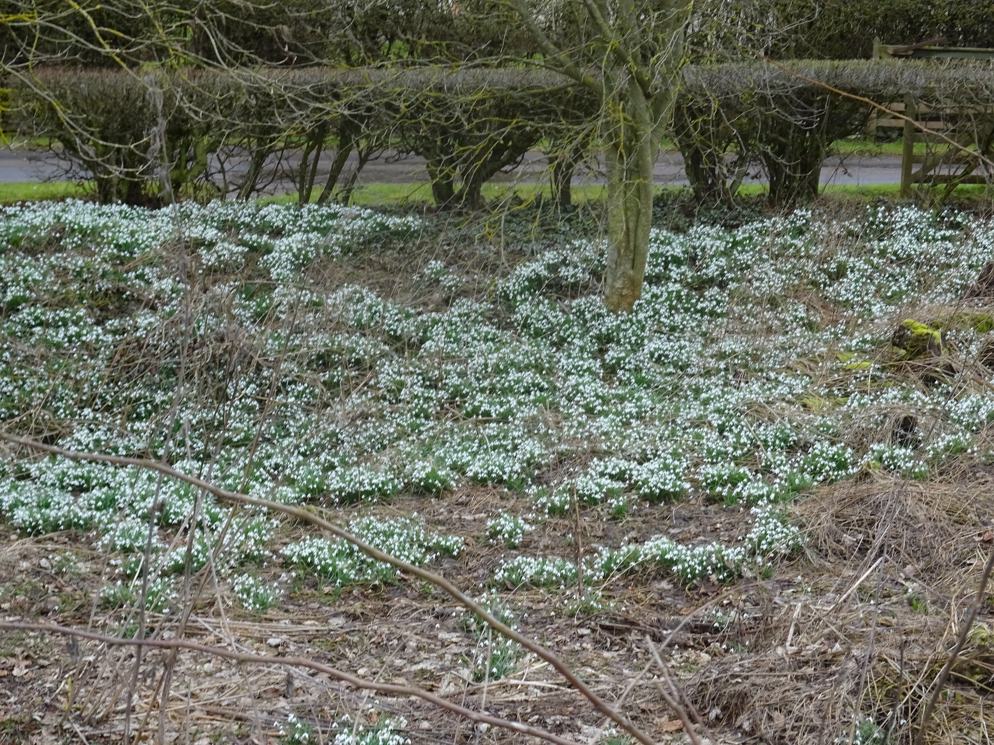
Snowdrop time
Looking back
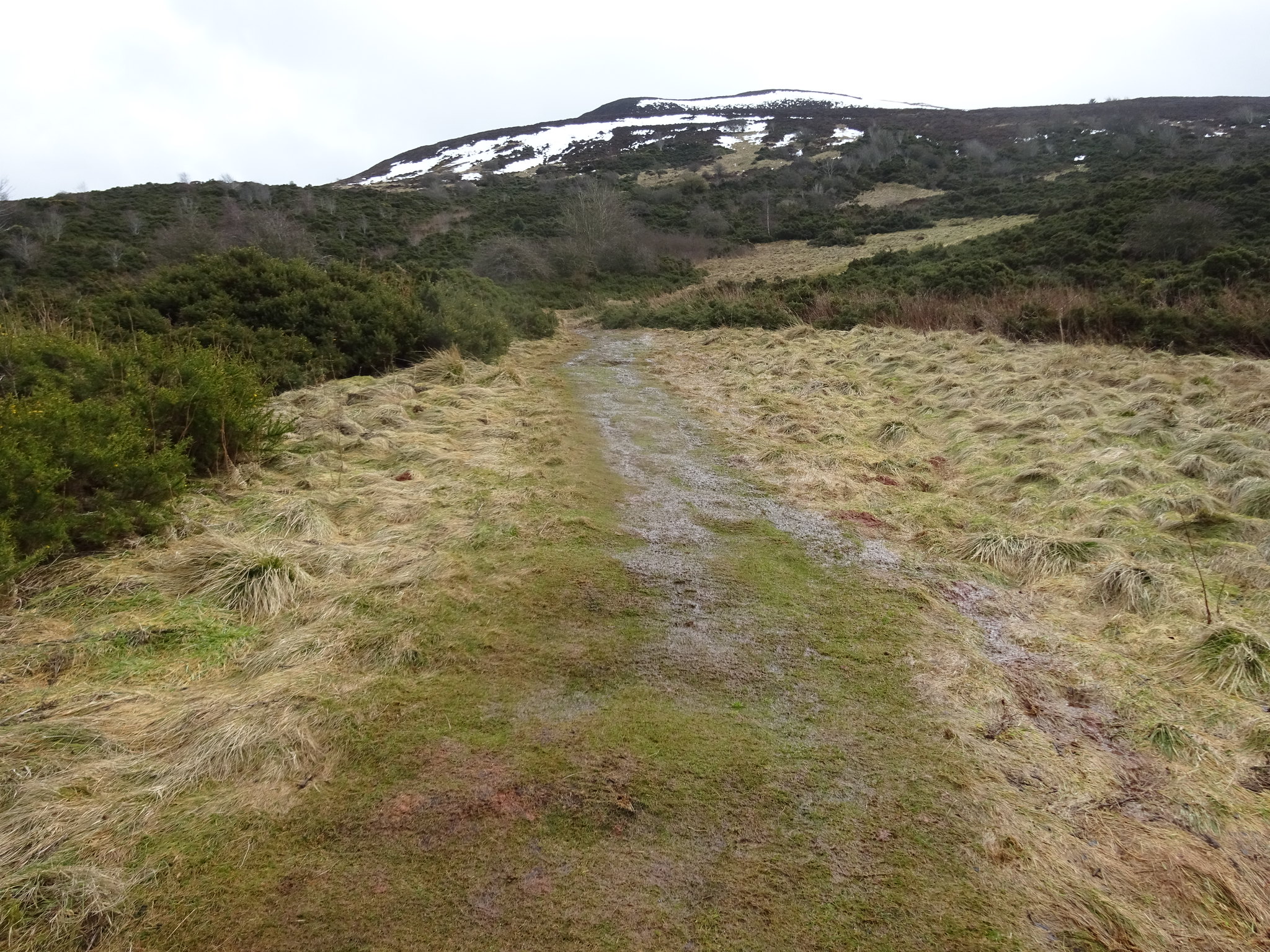
There is a grassy path, but we opted for ther direct route (as usual)
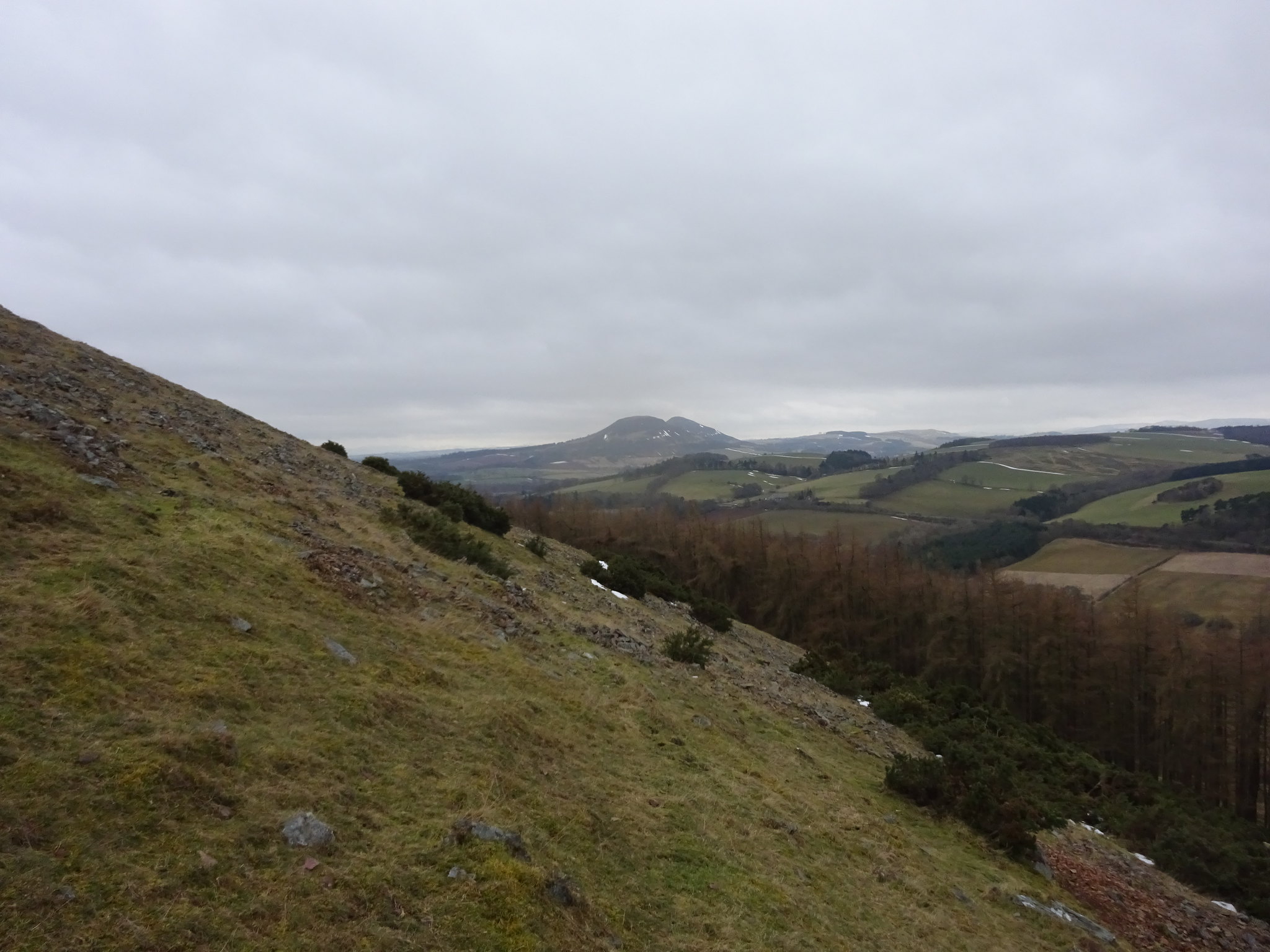
Angle of ascent and looking across to our next target, Eildon Hill
Looking north westish
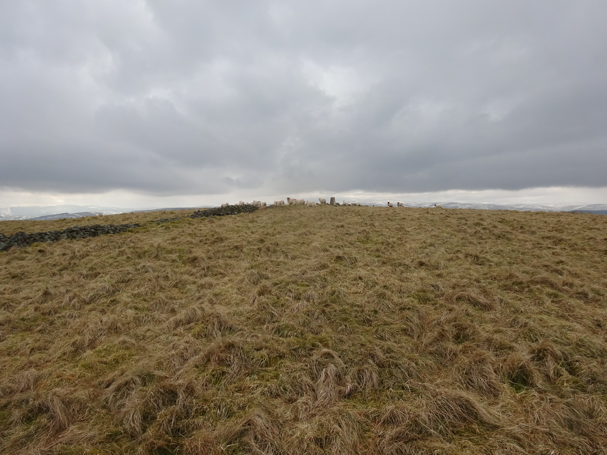
We had quite a few pauses during the ascent as we were both lacking fitness, the good thing was that the trig appeared much sooner than I was anticipating and that was a very pleasant surprise.
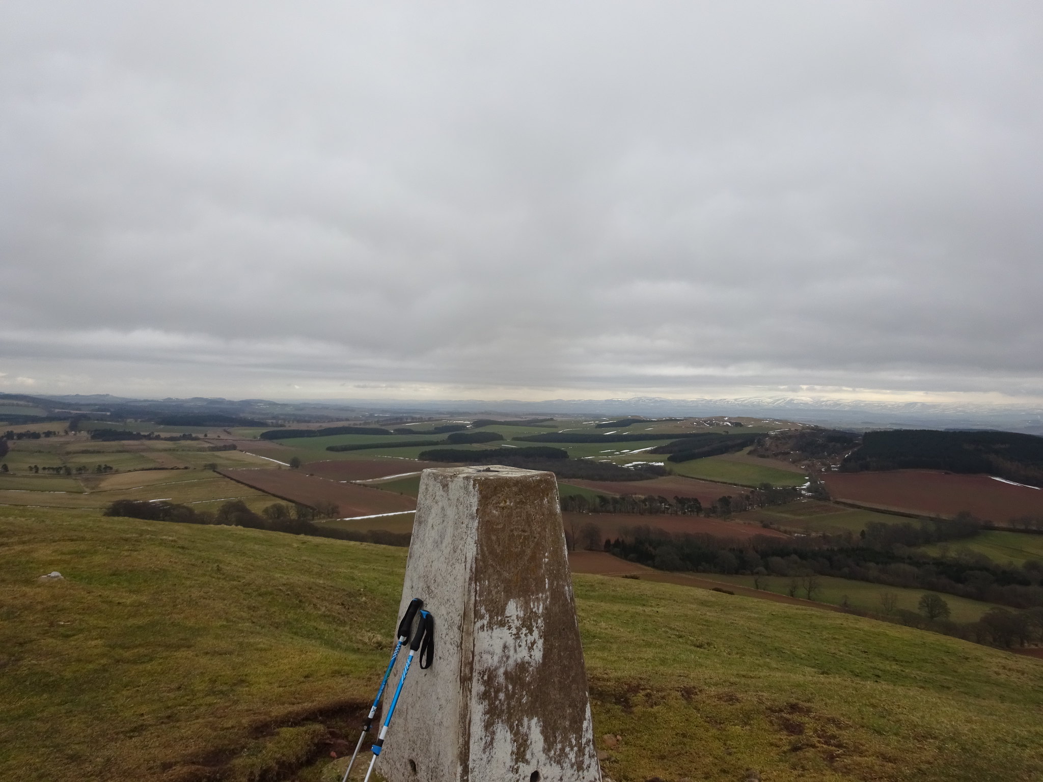
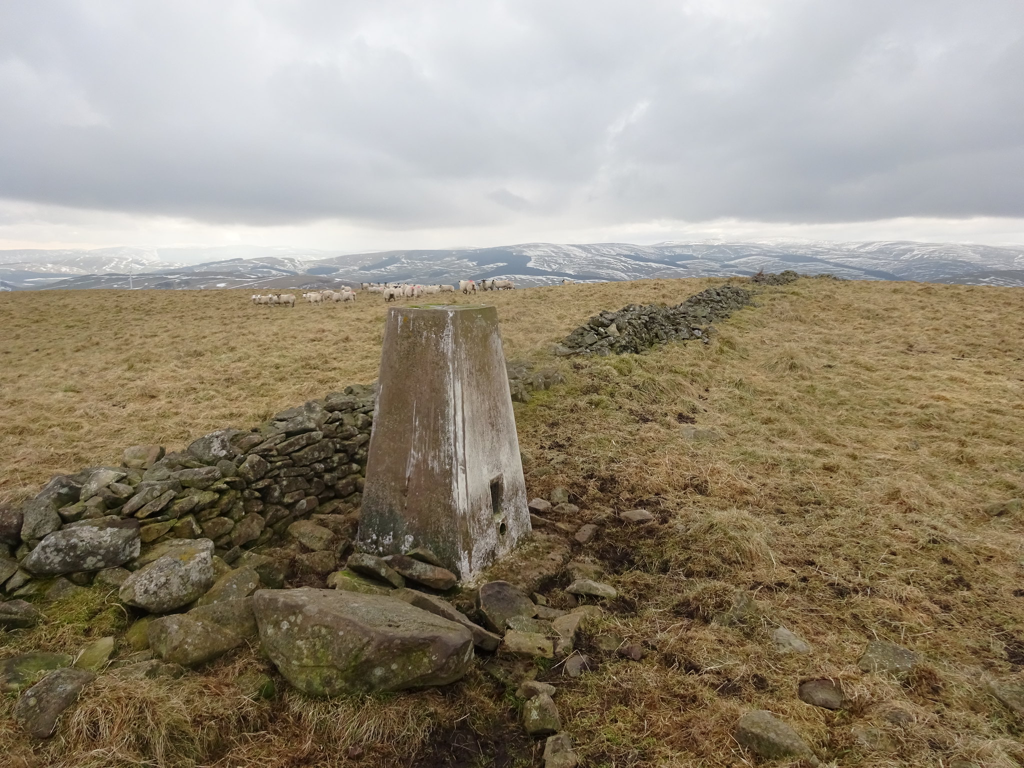
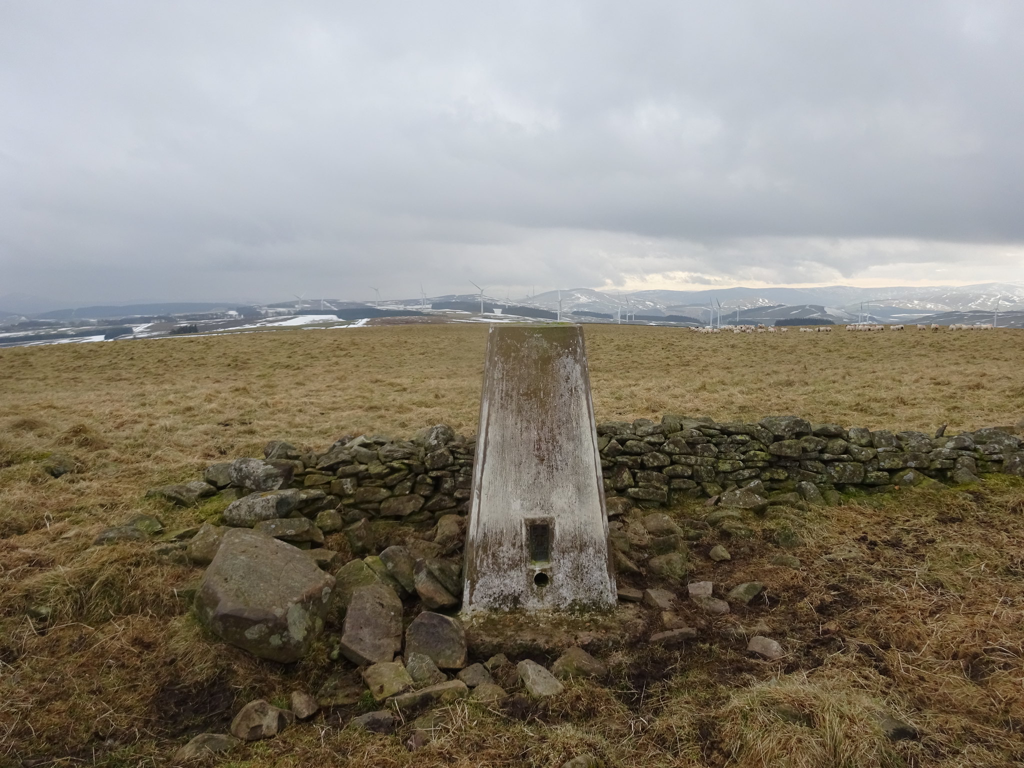
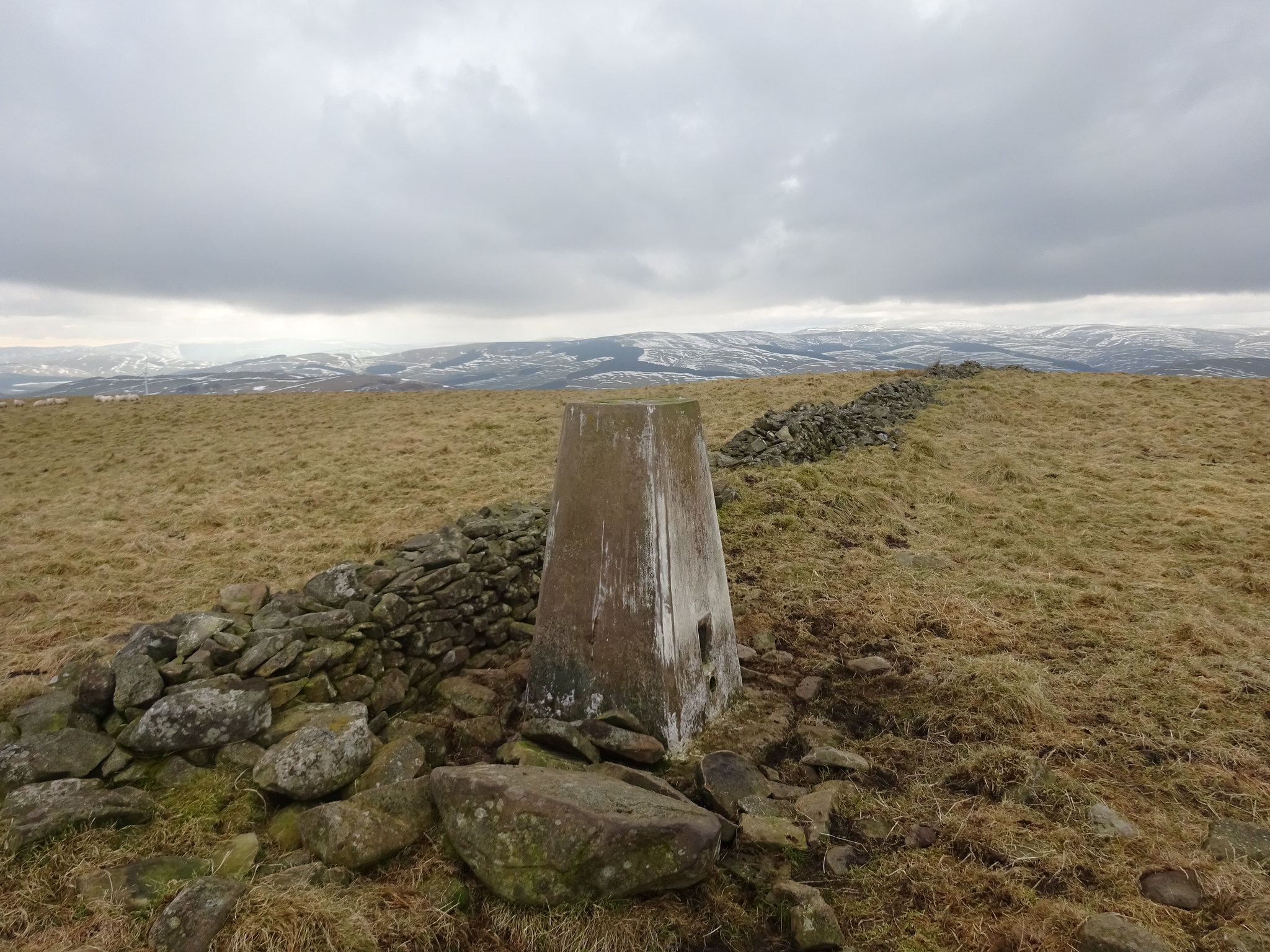
Trig on the summit of Black Hill
Looking north
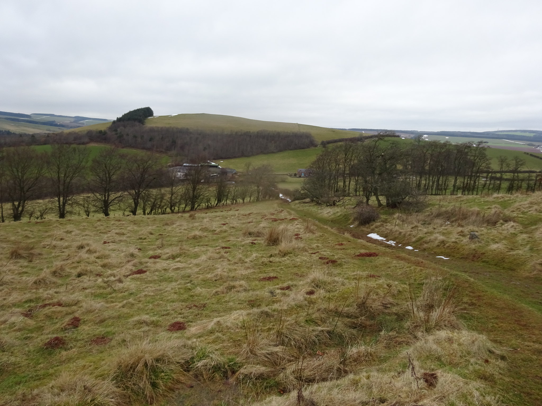
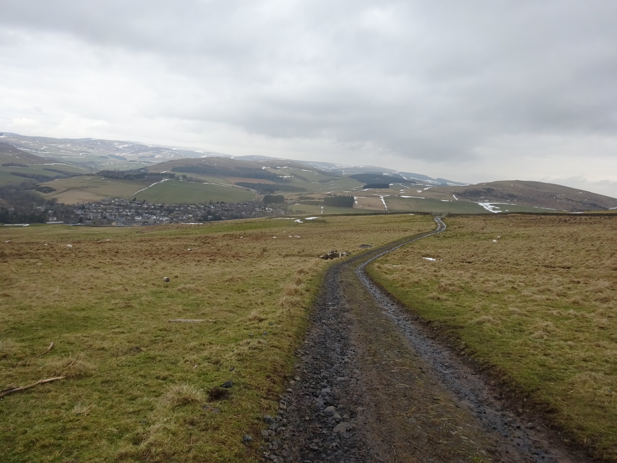
Looking down to the where the car is parked
Looking across to the Eildon's
We descended Black Hill by the usual direct route and were back at car in no time at all. It was boots off and head off to Melrose.
Black Hill route
We had a spot of bother finding the start 'area' I had planned for Eildon, mainly because the road layout in Melrose is challenging. The B6359 can only be accessed by heading into Melrose, whereas on the Satnav map it looks as if there are crossroads, there are of sorts but the B6359 goes underneath the A6091. Neither of us had ever been into Melrose before so that was interesting. The route I opted for us was going to utilise St Cuthbert's Way.
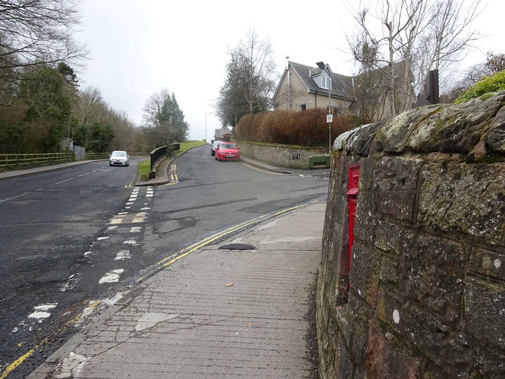
Parking spot I found

Not the most prominent signs for the Eildon's
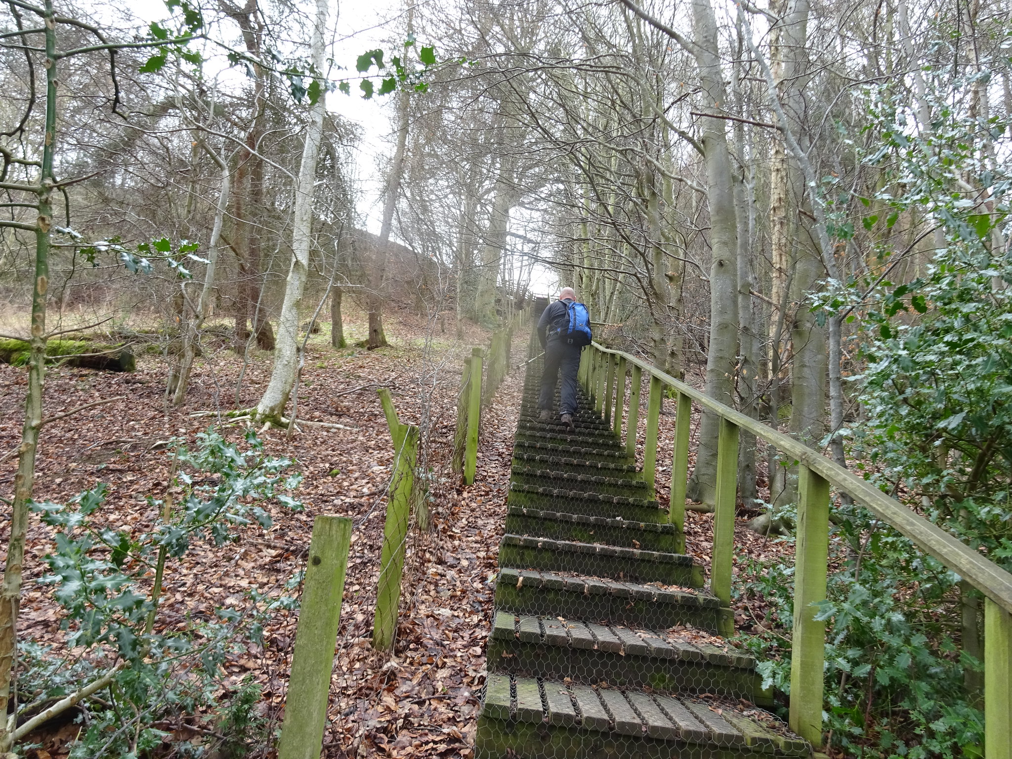
This was a real shock to the system, 132 steps - we counted them on the way down, for obvious reasons

Looking back down the steps without George getting in the way
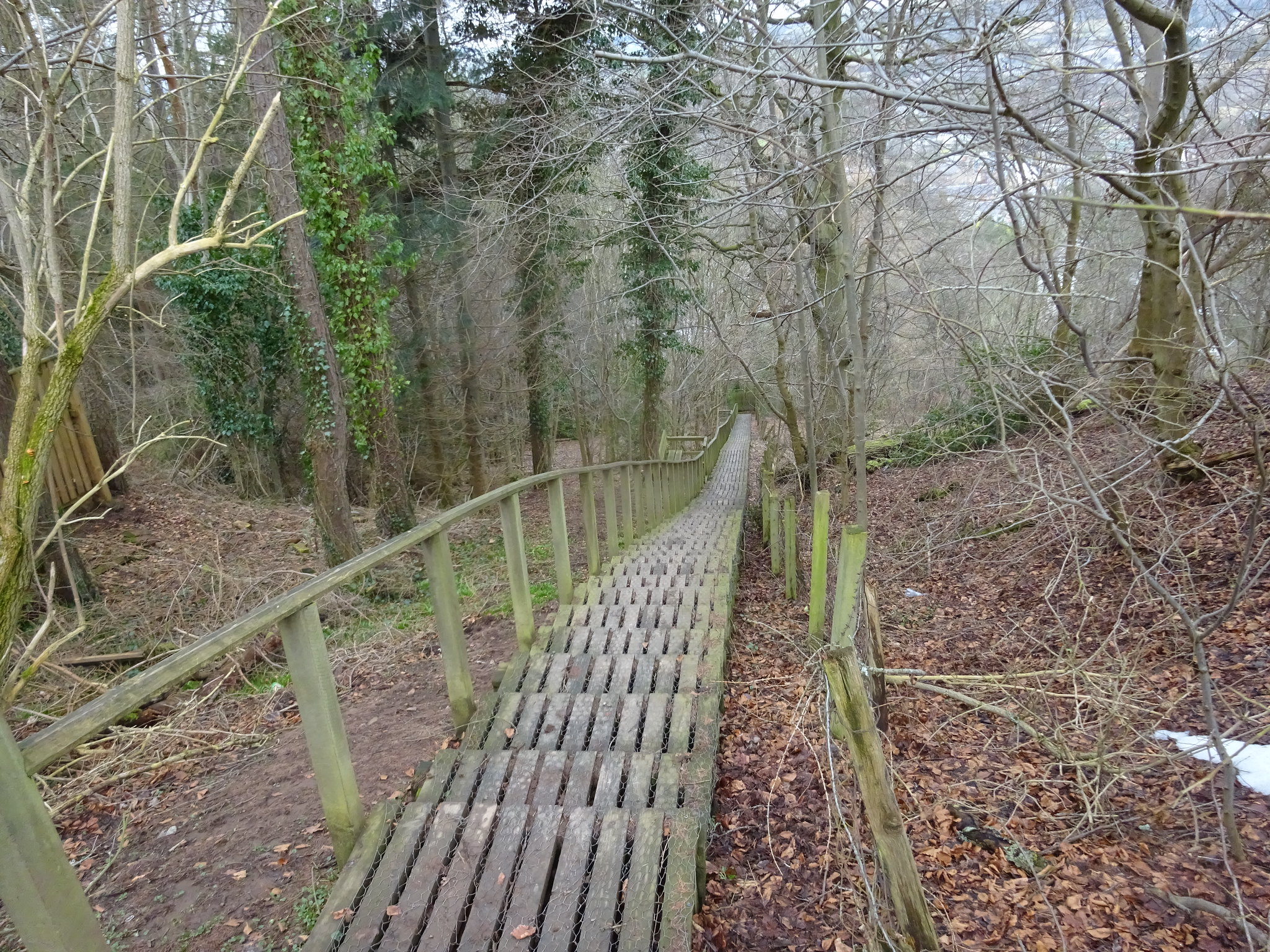
The way ahead
The way ahead, good path at the moment, we are heading for the lump on the right
Path getting a bit damper, was to get very muddy soon
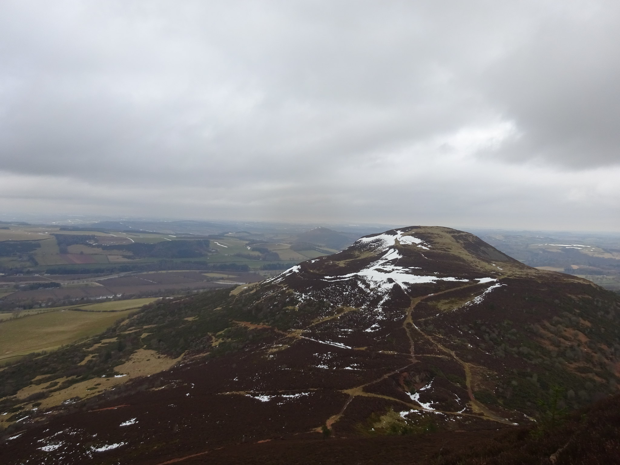
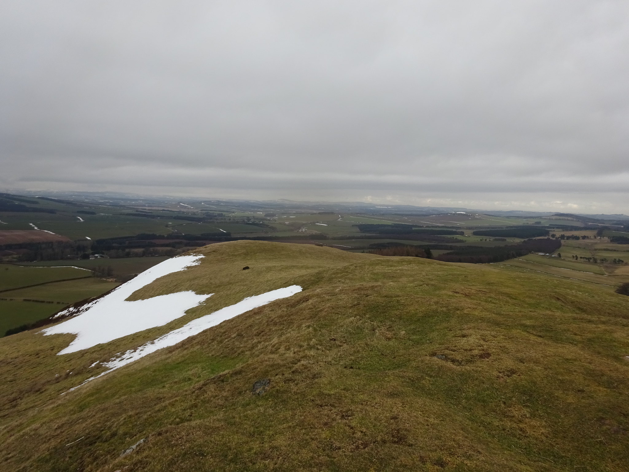
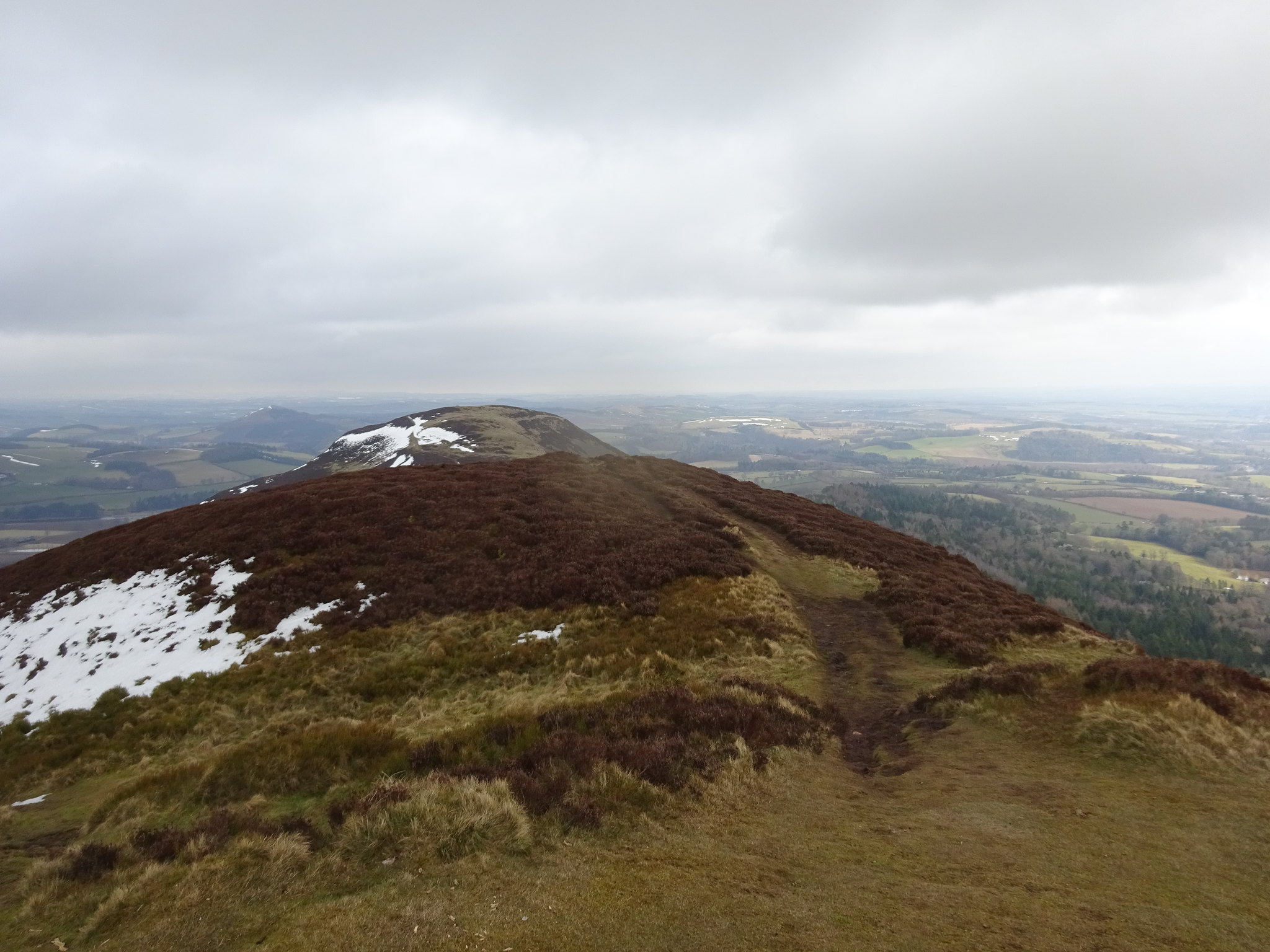
Looking across to Eildon Hill north
The summit of Eildon Mid Hill
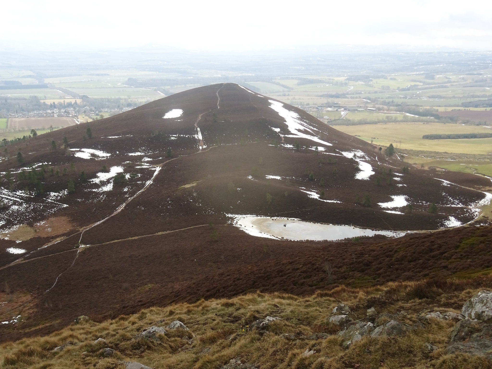
Looking down on Eildon Wester Hill, with a frozen lochan in the foreground
Whilst wandering along St Cuthbert's way there are little signs with 3 peaks on them and it wasn't until we were on the summit we realised there was a third hill - it is not visible at all from Melrose. The route/path through the gorse bushes was extremely muddy and it wasn't normal brown mud it was red mud and we were both caked in the stuff from our knee's down. I managed to stay on my feet, but only just and George only had one mishap so we did really well between us. The mud was so claggy that the soles of our boots were clogged up and we literally had no grip whatsoever.
Arty shot, our next target is in the distance between the 2 lumps of concrete
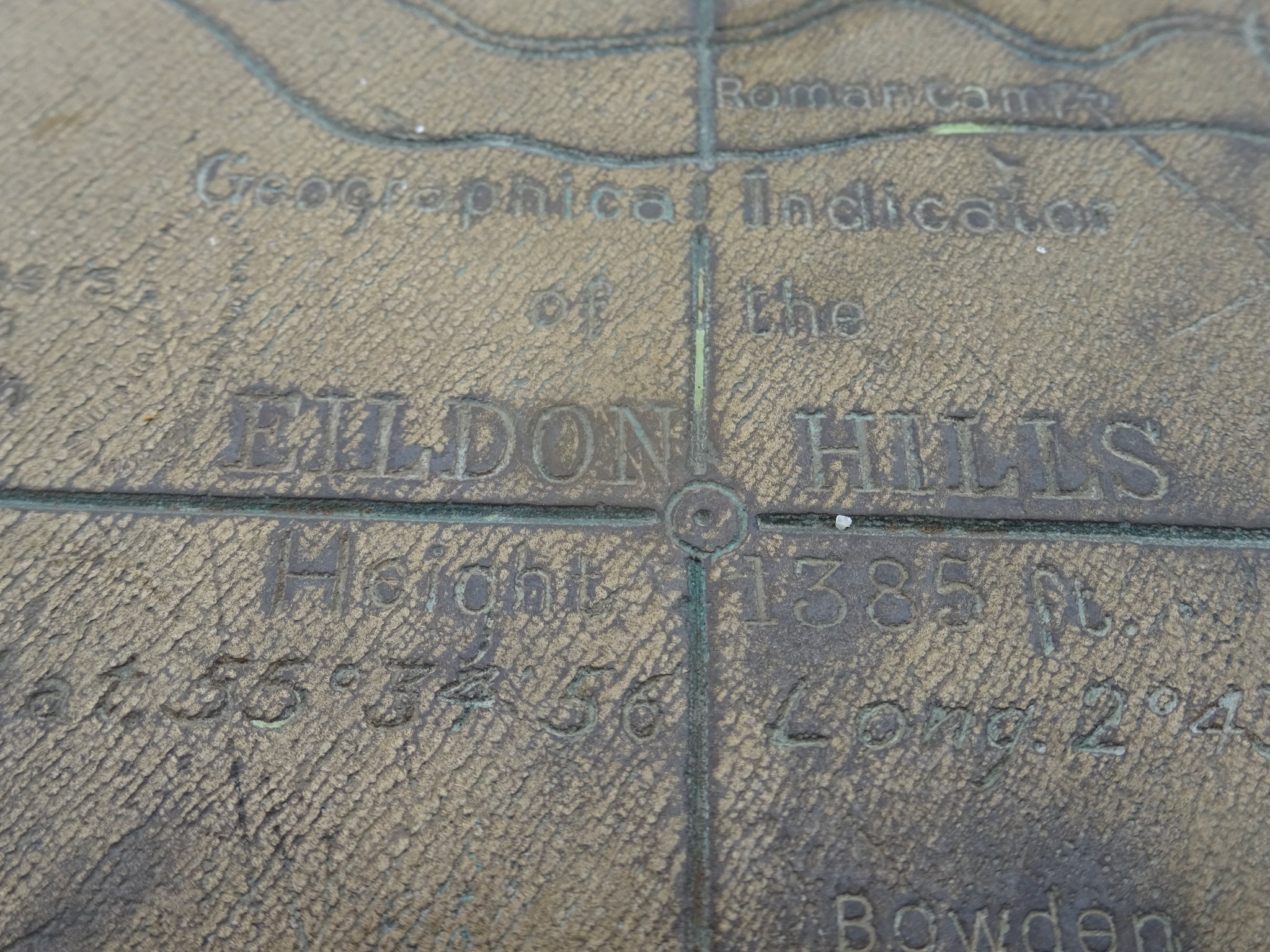
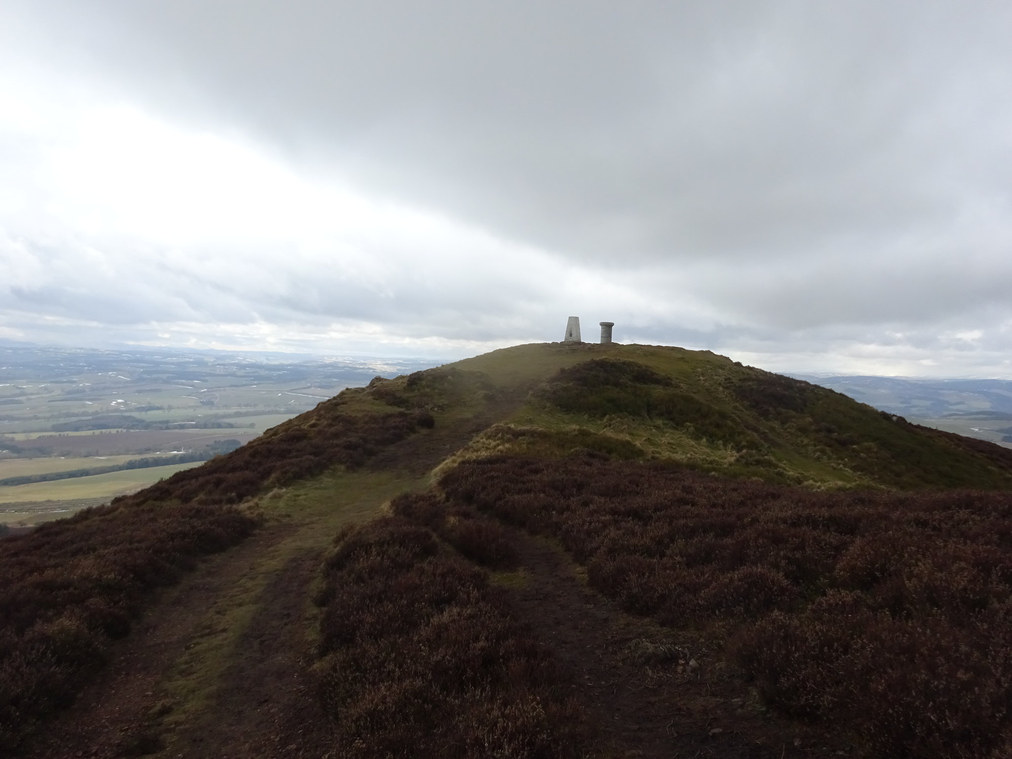
Nice little map on top
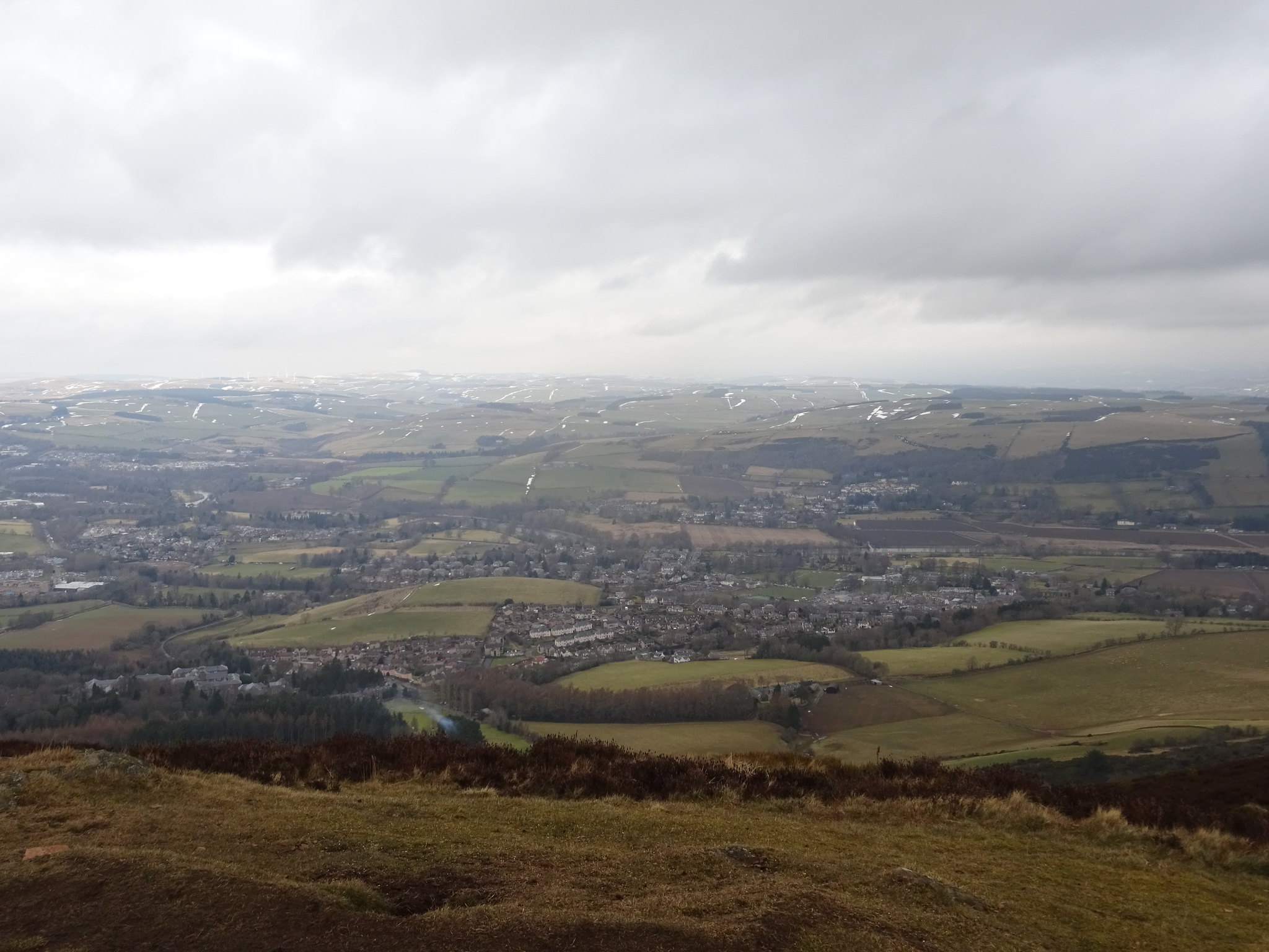
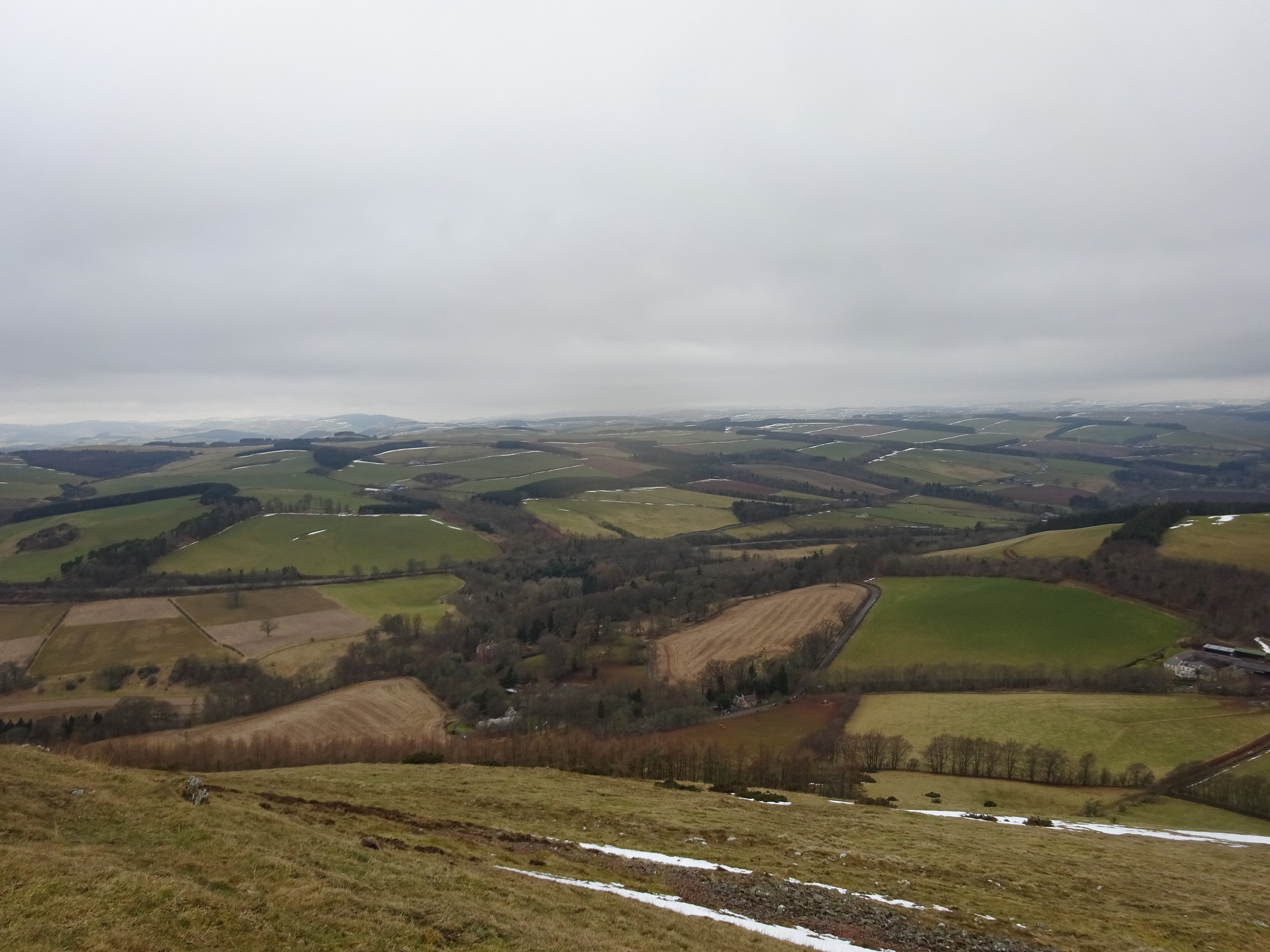
Melrose
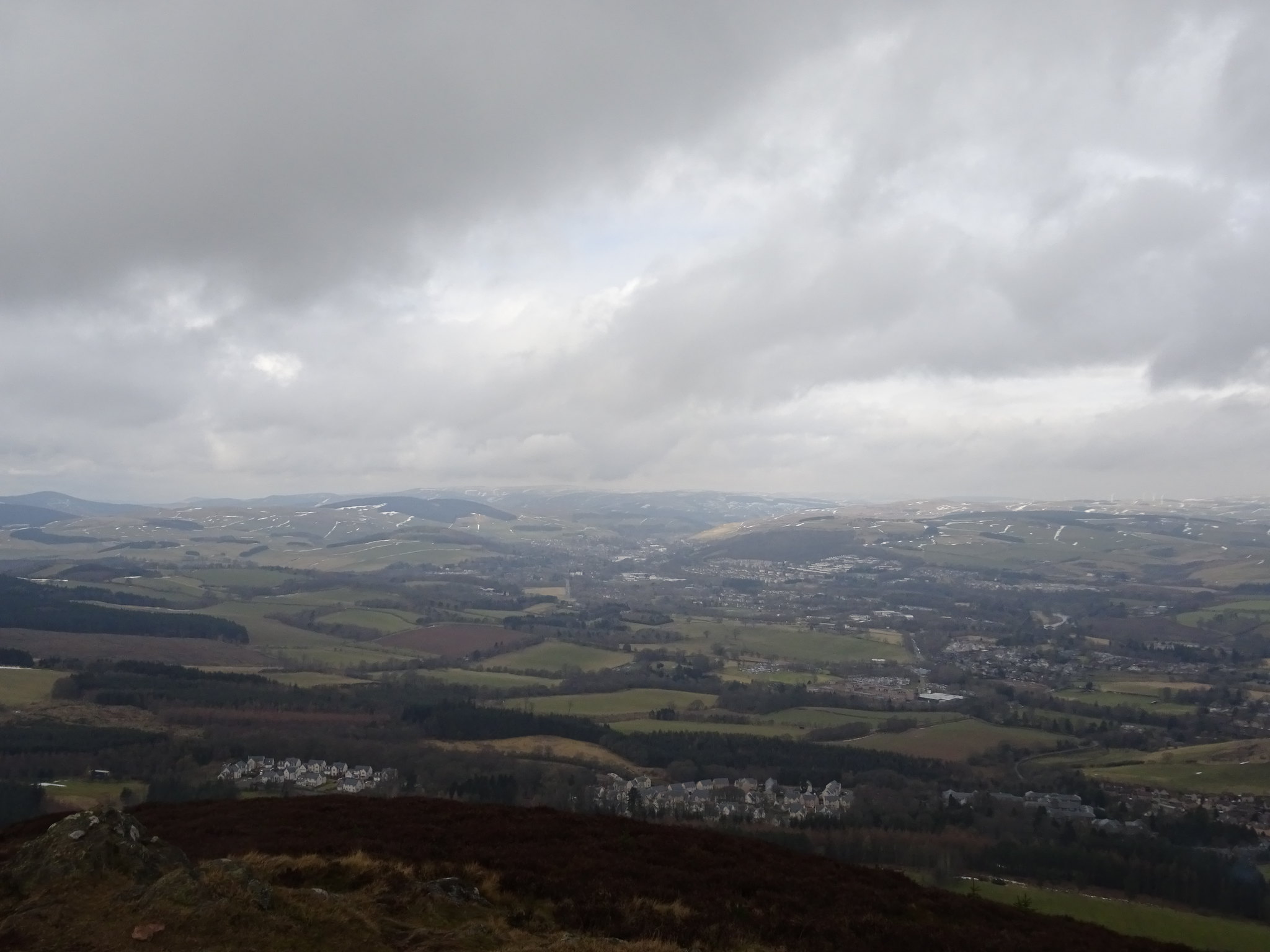
Galashiels in the distance
Black Hill in the distance
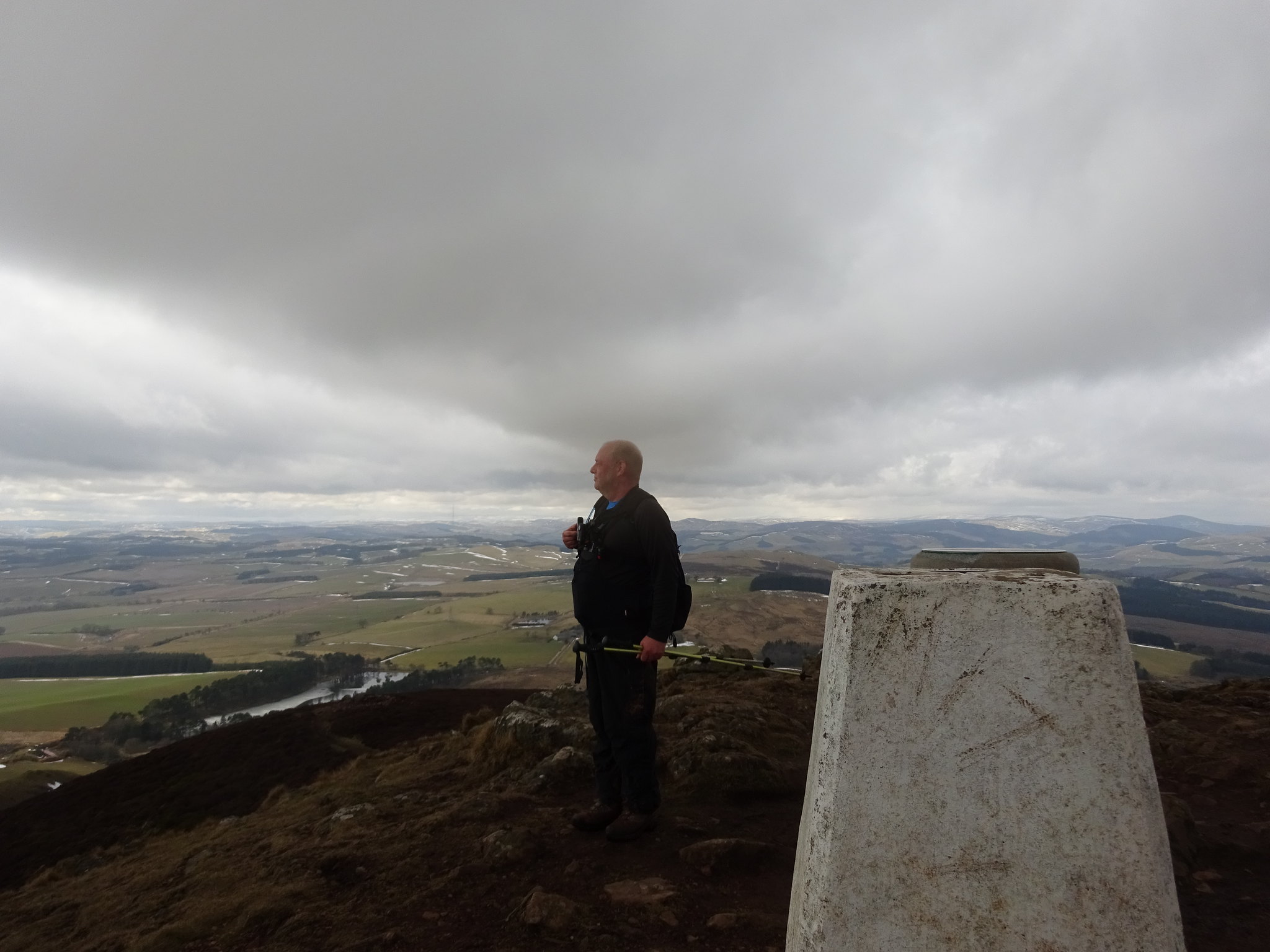
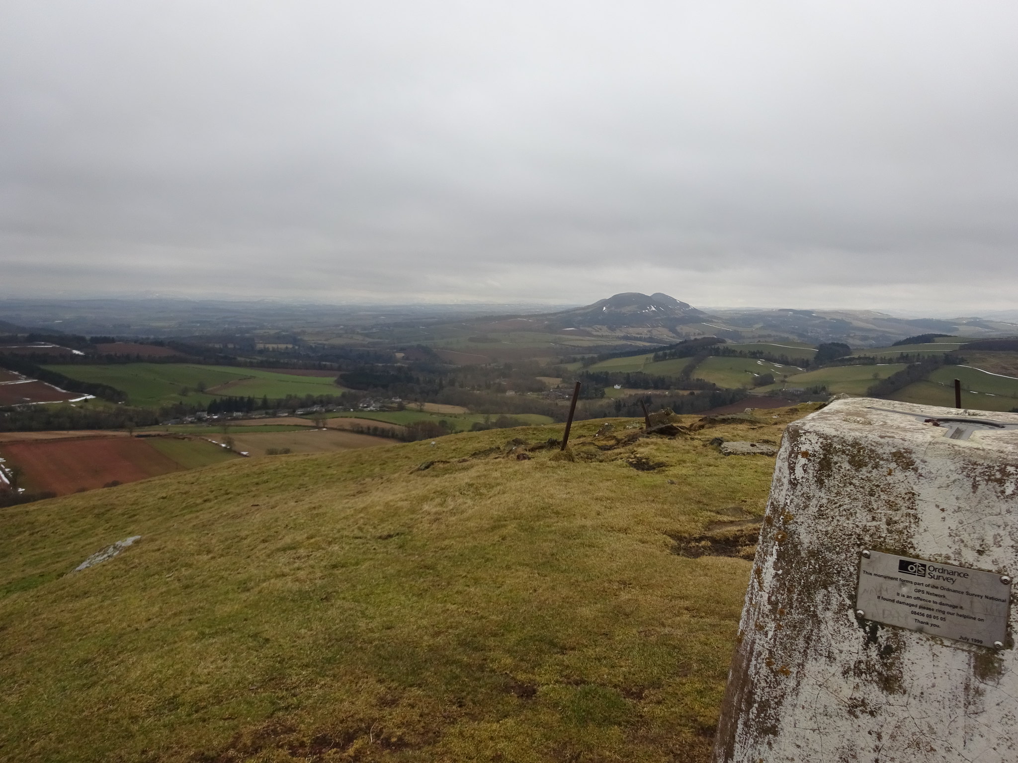
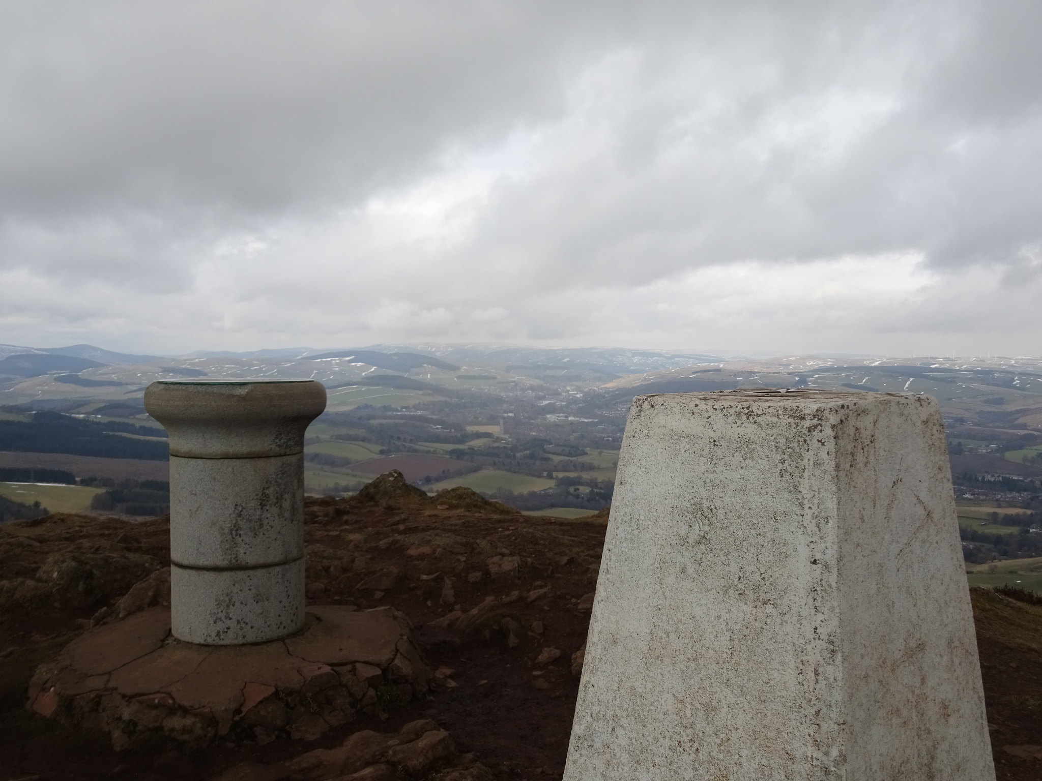
George taking in the views, Eildon really does offer fabulous views
Whilst on the summit we discussed descending and what route we should take, one thing was certain we didn't want to get covered in more red mud. The beauty of height is you can adopt and make new plans and that is what we did, we descended down to a grassy crossroads and then turned left down towards the golf course. The plan after that was to pick up a tarmac road that would join up with St Cuthbert below the mud and gorse.
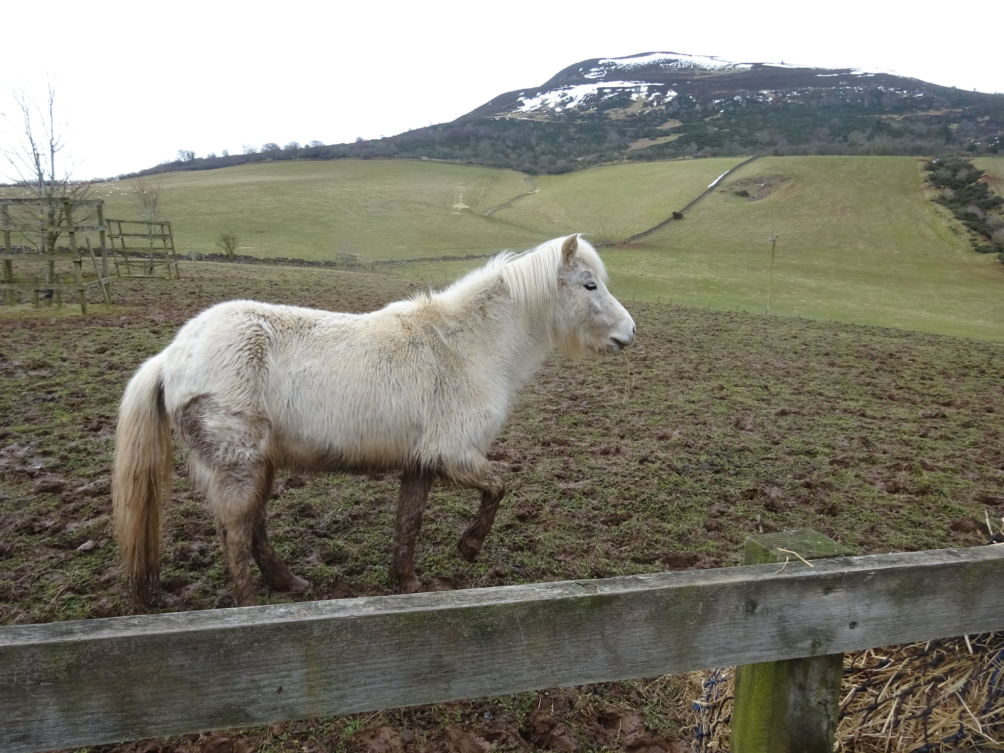
One for the horsey folk
Eildon was the toughest walk of the 4 hills and once back at the car it was time to head through Melrose and then through Galashiels and pick up the A72 (Peebles road).
Eildon Hill
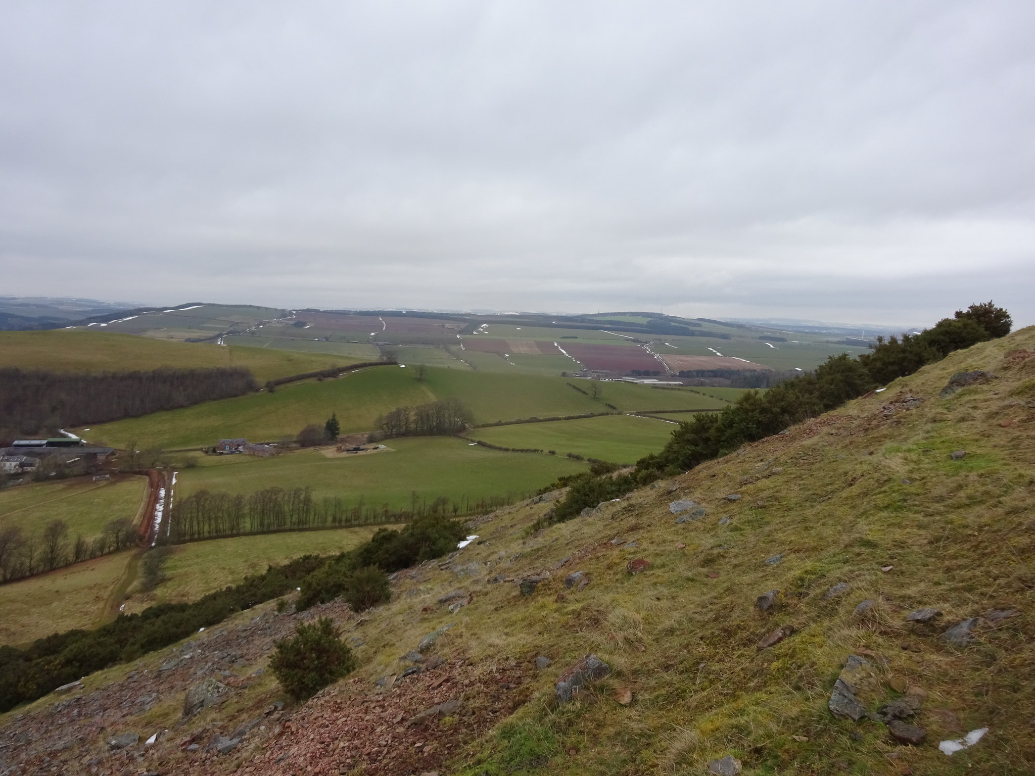
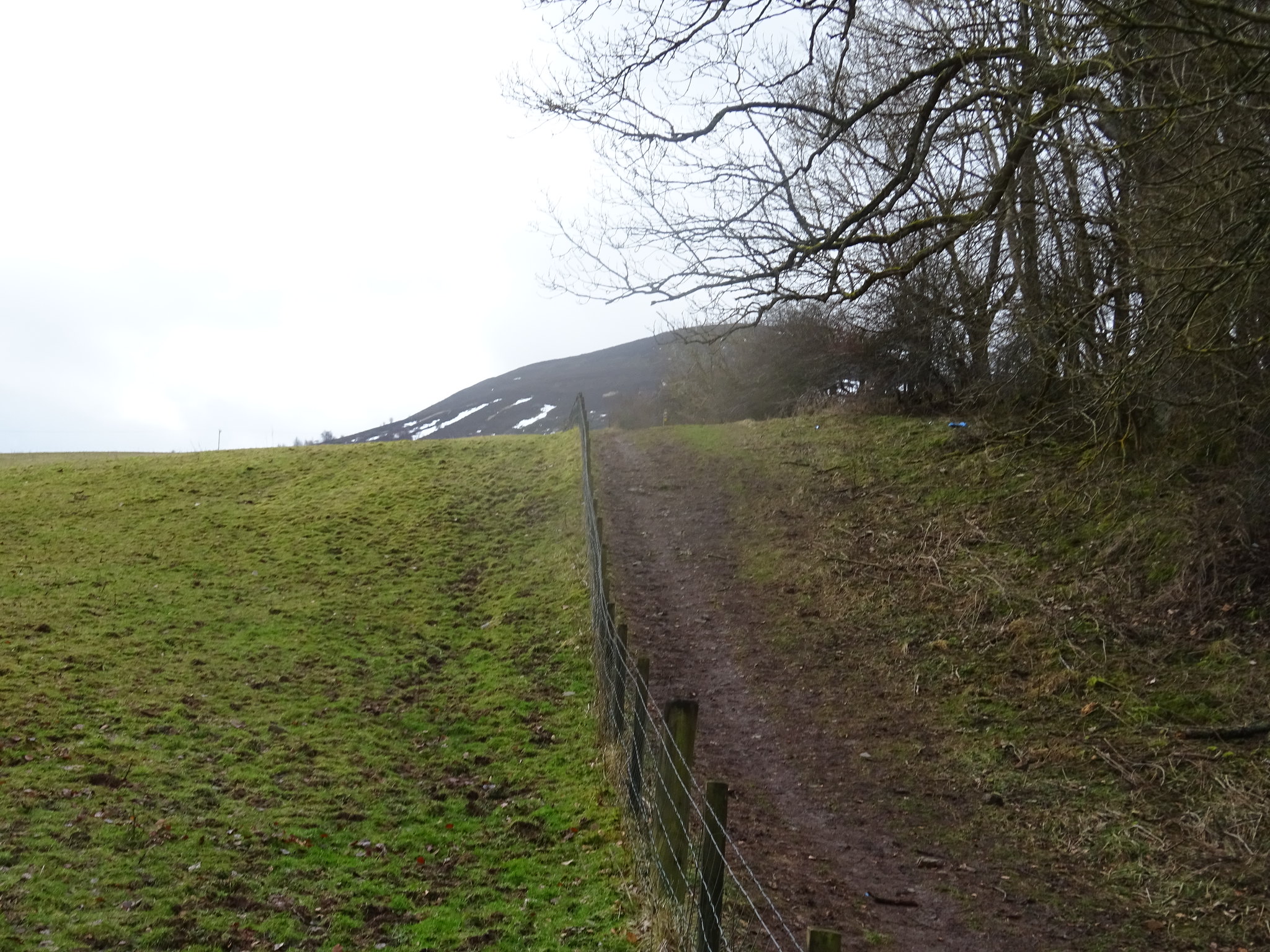
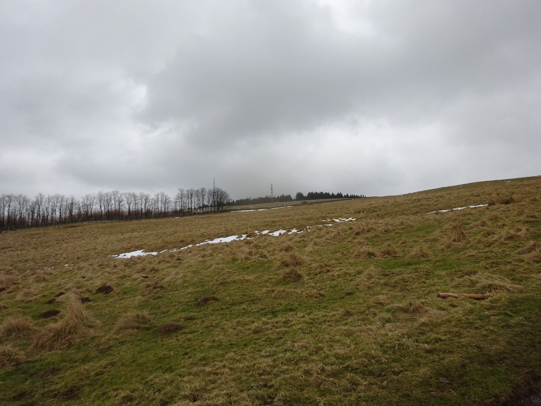
The plan was to start from Clovenfords, I found a parking spot on a new housing scheme on the left as you enter the village. The plan was to walk through Meigle Farm and pick up the track. There were a few spots of light rain falling and George was tempted to get his jacket out of his back but he listened to my advice and we plodded on. We met the farmer from Meigle Farm on the lower slopes of the path, he was obviously used to chatting to walkers as he asked us where we had been, it was rather obvious from the state of our trousers and boots this wasn't our first hill. He was in the process of getting water for his sheep who he had rescued and were in the byre, he told us he had lost 10 sheep during the recent bad weather - it reminded us how tough it is being a farmer.
The track uphill towards Meigle
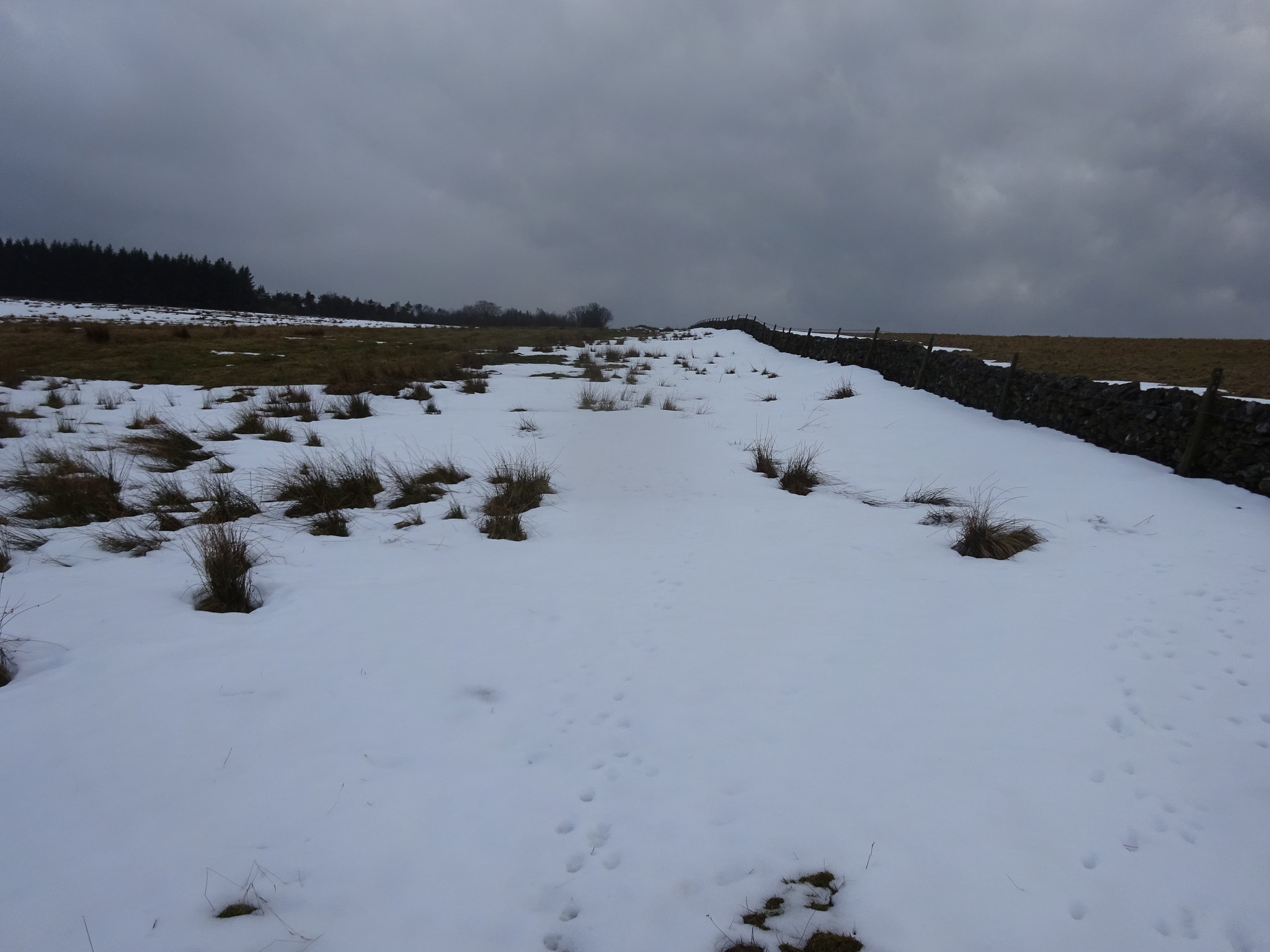
Looking back towards Clovenfords from the track that goes all the way to the summit
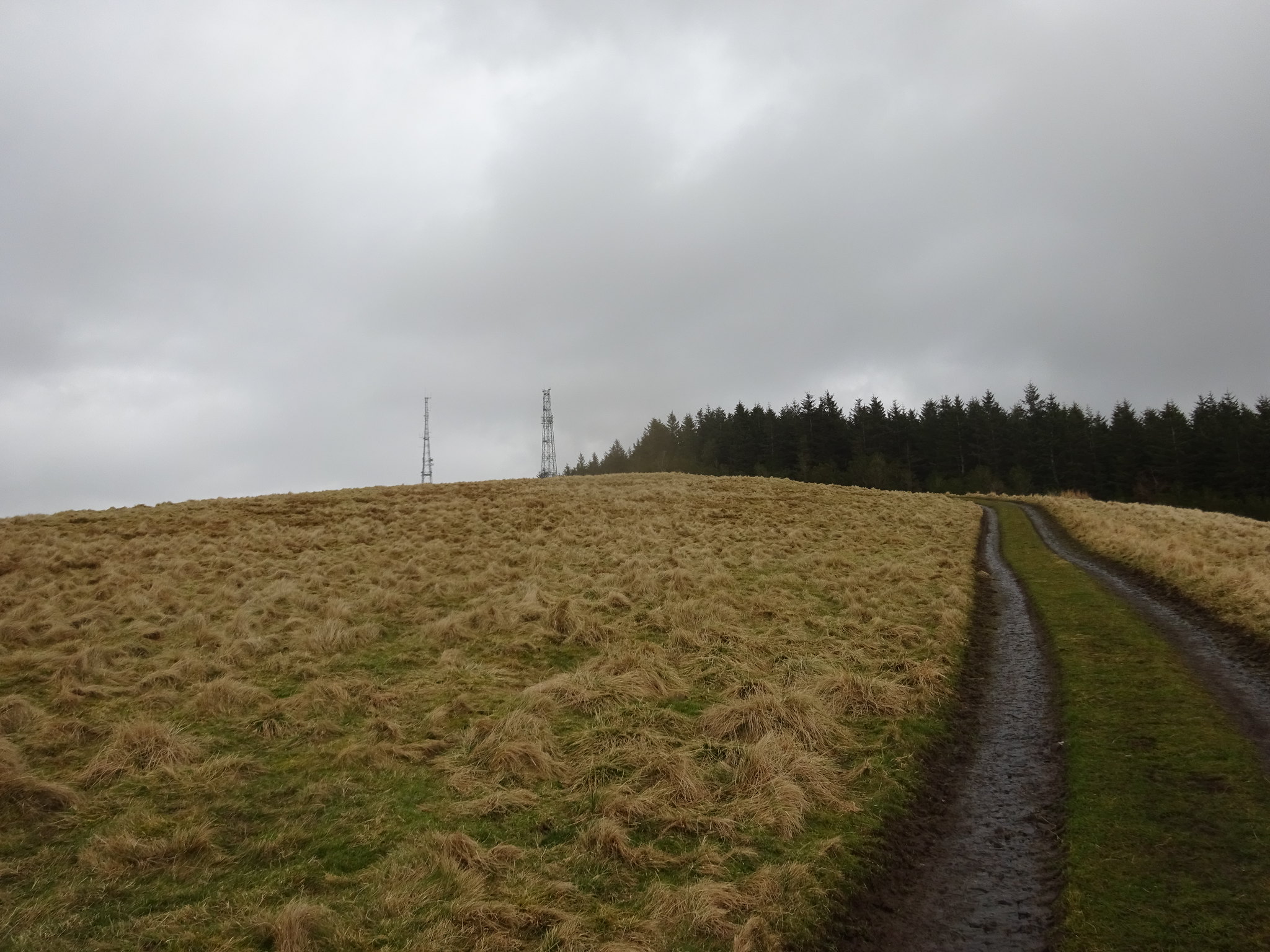
Looking towards the summit, where the masts kind of dominate
Not far now
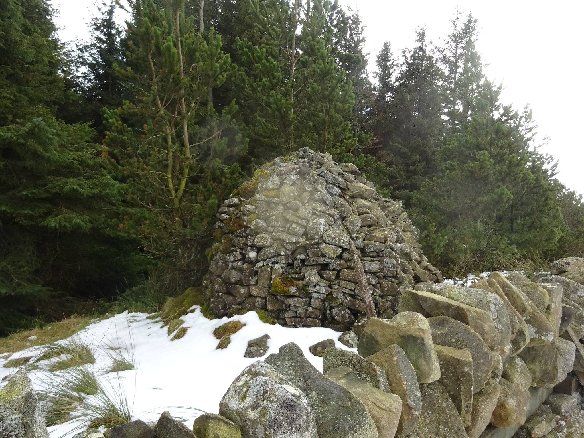
The small cairn on the summit
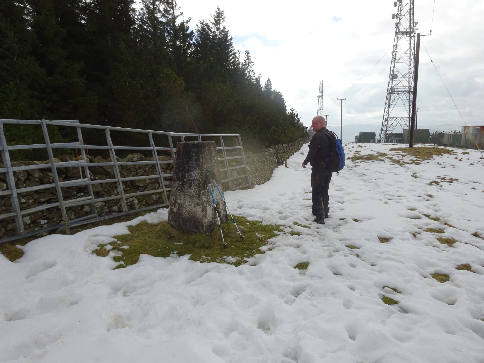
Summit trig on Meigle Hill
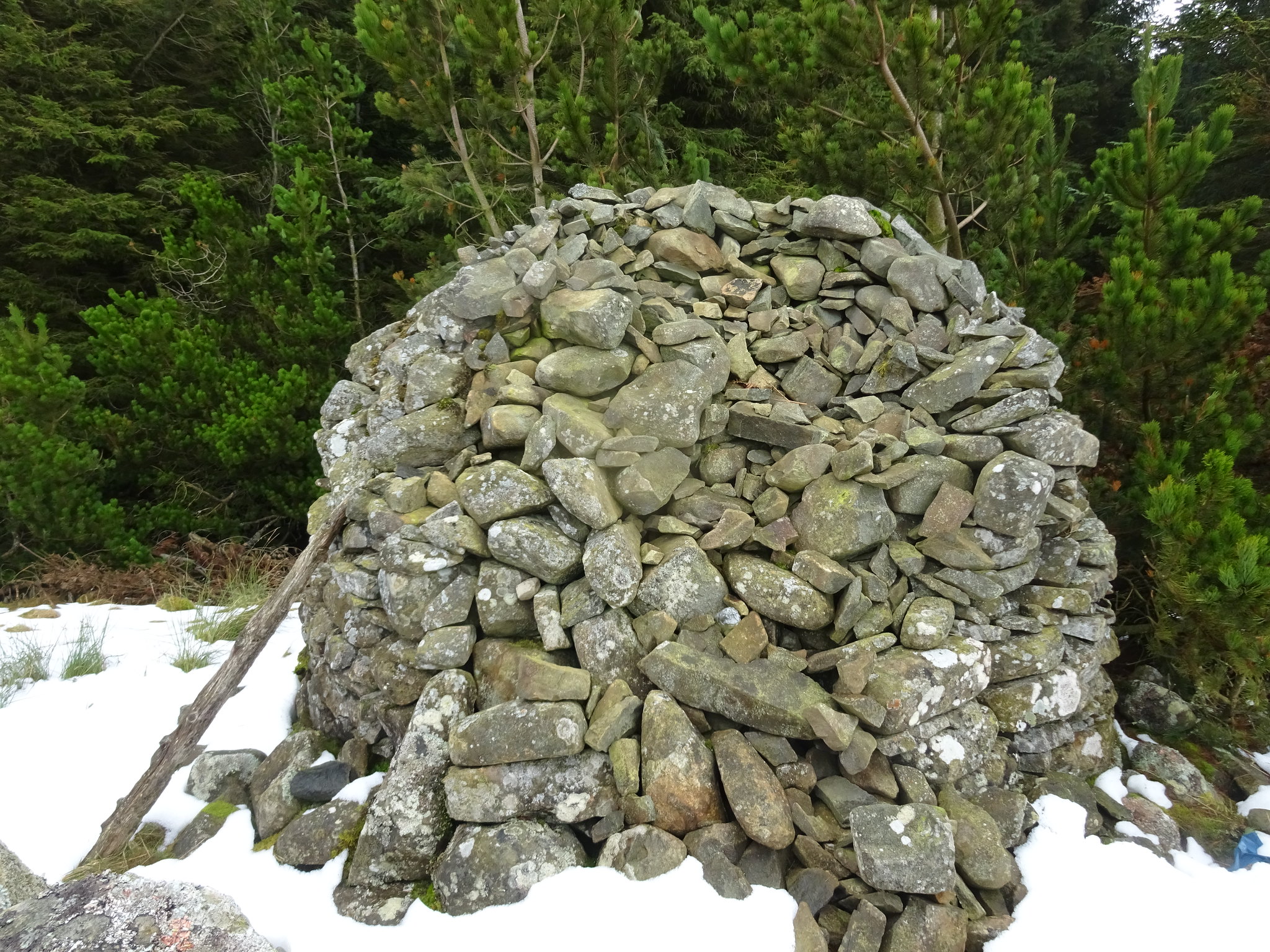
Igloo like cairn on the other side of the wall
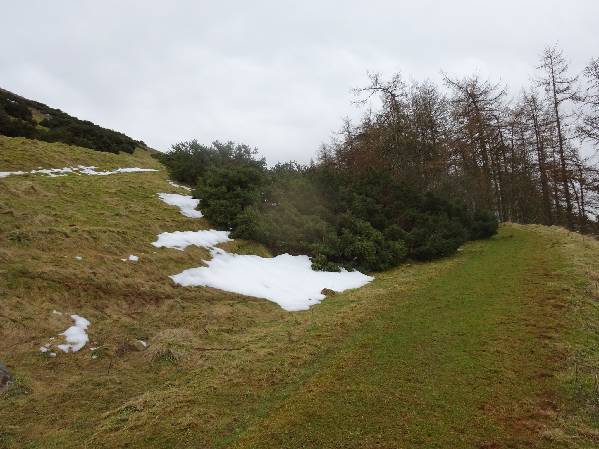
There was plenty of slushy snow on the summit area of Meigle which came in useful as it cleaned our boots
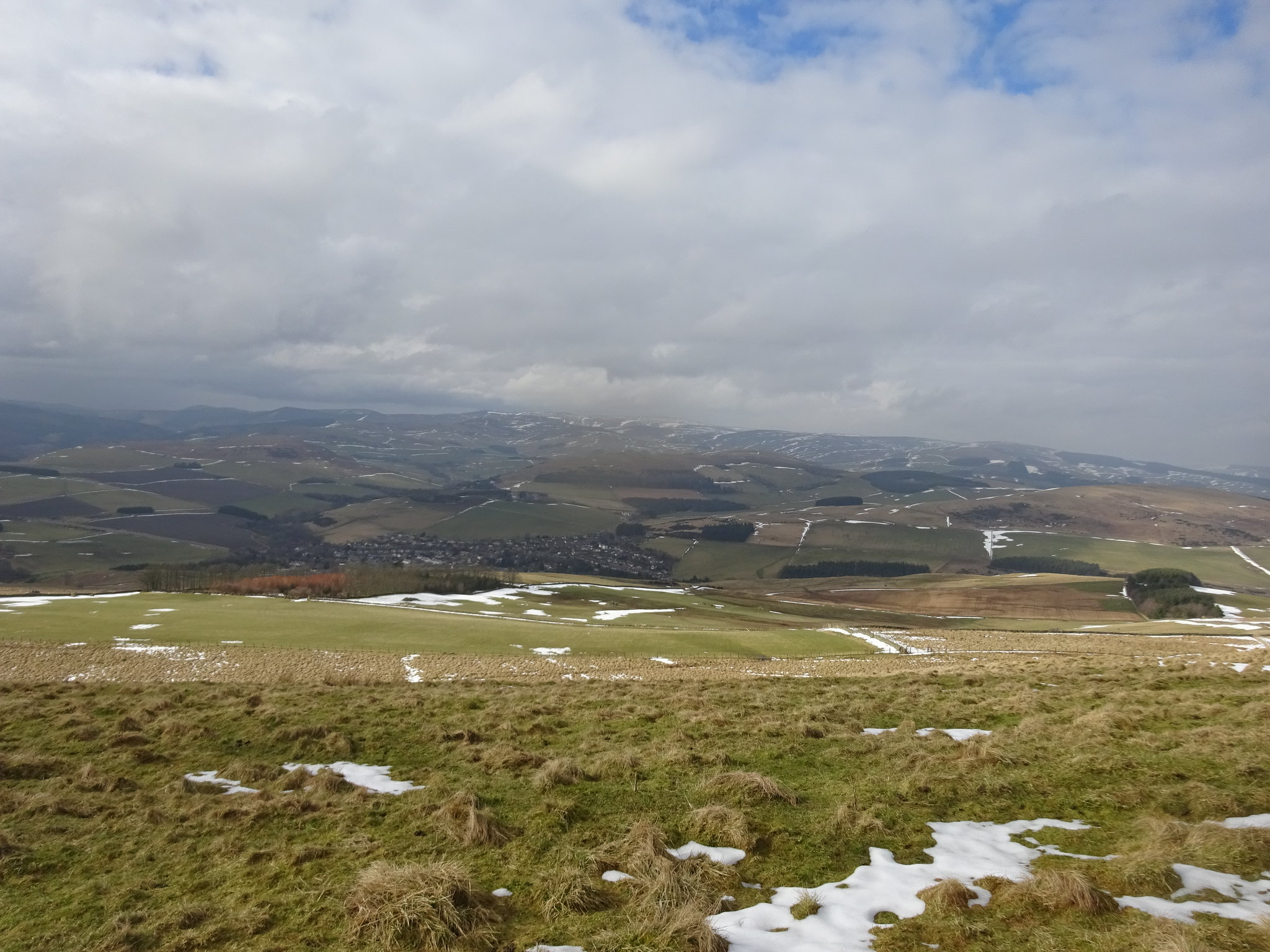
Looking down on Clovenfords whilst descending
Meigle was very easy, nice gradual gradient on a good track and the plan now was to call in and say hello to the wonderfully named Sell Moor Hill on the way home. Having looked at the few WR's that are available we knew this would be a doddle and we should be able to manage the very demanding EIGHTY metres of ascent
Meigle Hill
We joined the A7 heading north and turned right when we reached Stow and climbed uphill, had we been proper purists we could have parked in Stow and added another 150m
Layby at our start route, we would encounter more snow here than on the previous 3 hills put together
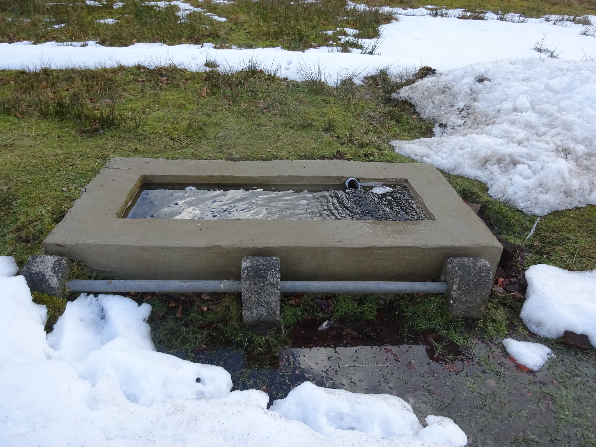
Interesting well across the road from the layby, we opted not to sample the water
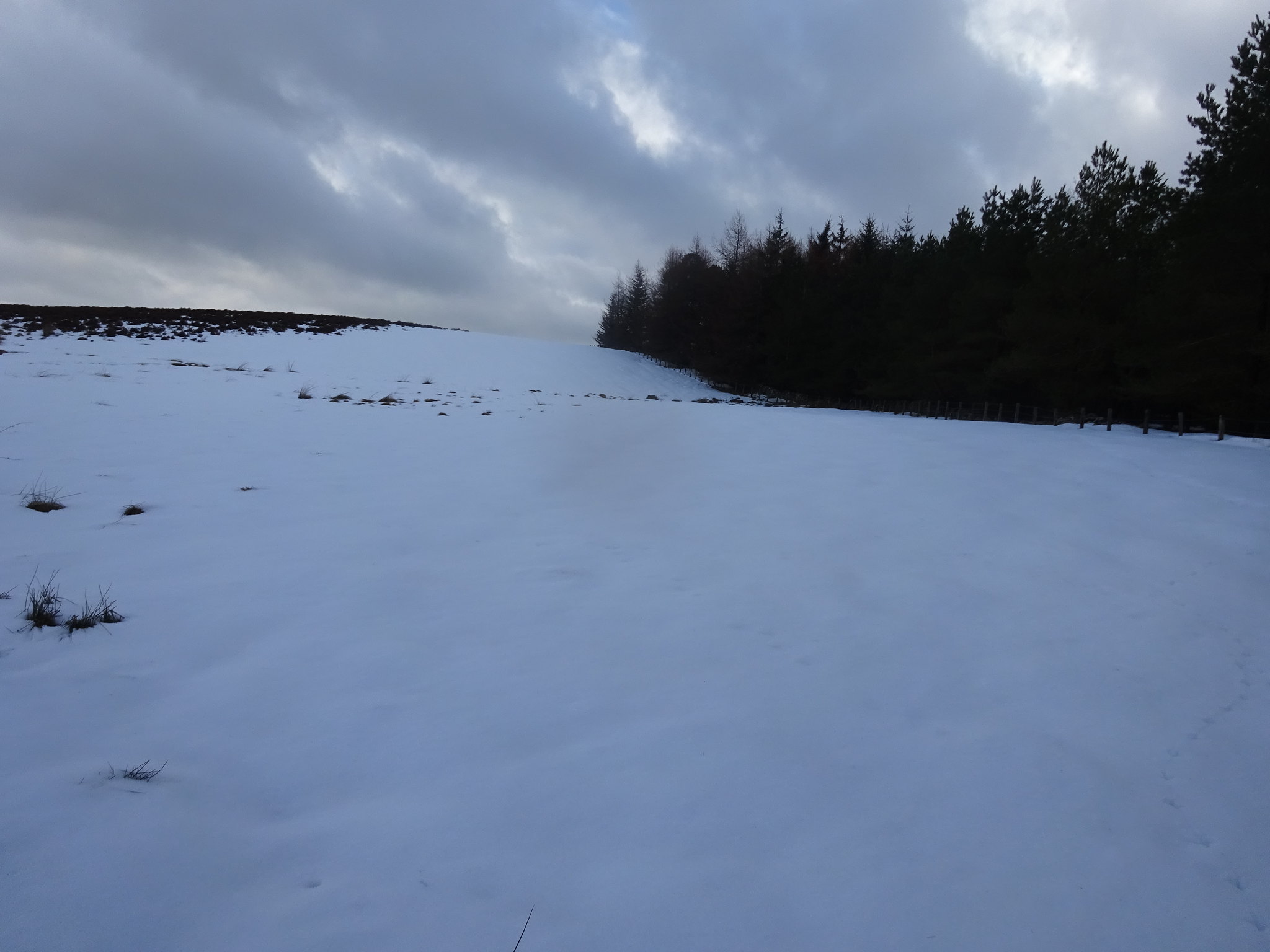
The way ahead, deep slushy snow
There is a wall at the edge of the forest and we opted to stay to the left of it which turned out to be on the wrong side for the summit. Having said that we descended down that way and as we approached the forest there is a watery, marshy, boggy area, so we probably made the right decision.
Looking back
Plenty of sheep trying to hide the trig from us
Looking west
Looking south to Longpark Windfarm
Looking west
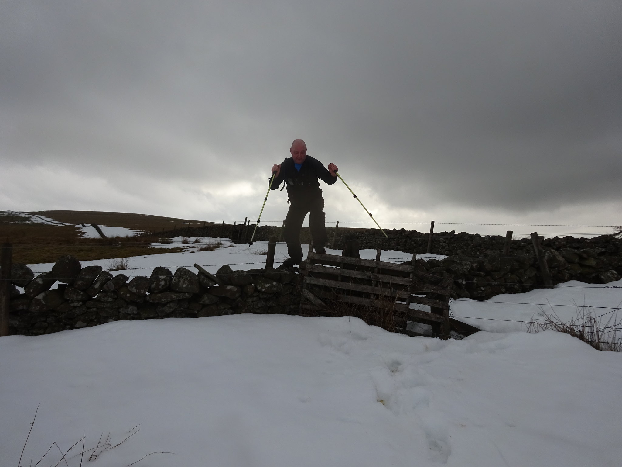
The summit area of Sell Moor is very flat and we didn't see much point in hanging around, so yet again we opted for the direct route back to the wall and as I described earlier, it is very wet with ankle/knee deep water. Having said that the wall and fences that need to be clambered over we sussed oput that the best way to climb over them was from the west. We couldn't quite work out why a wall that is over 3ft high needs barbed wire and an electric fence on BOTH sides, maybe it is a plot to make accessing Sell Moor Hill more difficult - and it worked.
Here are a few 'action' photo's which indicate not only how tricky the wall is to conquer, also how deep the snow was, which was useful as it made for a nice soft landing.
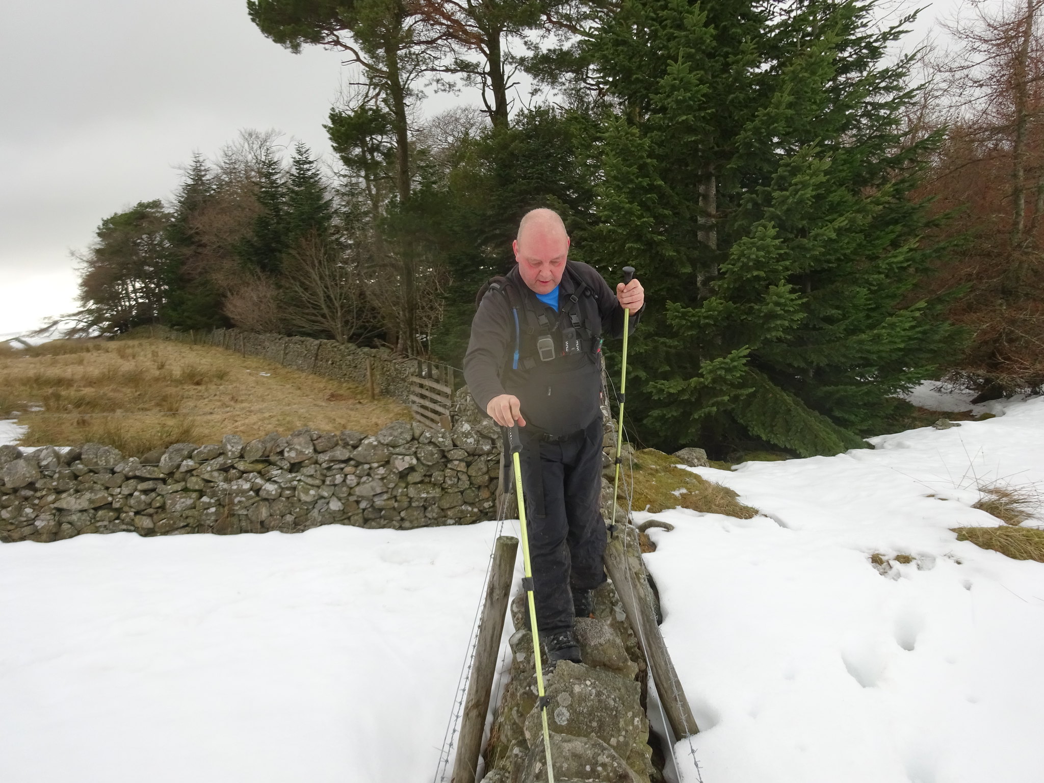
As we are now experts at balancing we decided to walk along the top of the wall and then leap into the snow, avoiding the electric and barbed wire fences
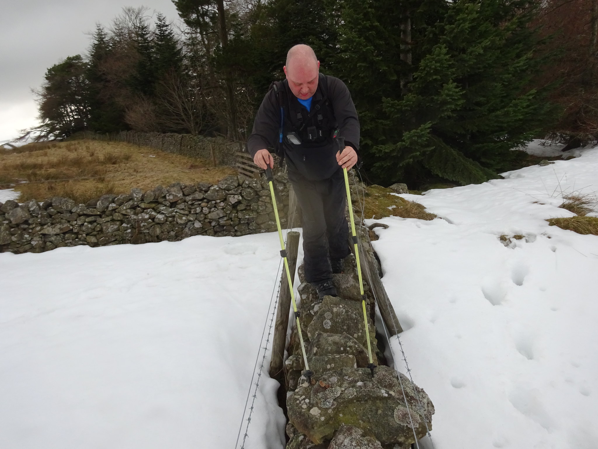
George really concentrating, the photo doesn't show the wobbly stones that made the balancing even more fun
George getting prepared for his leap
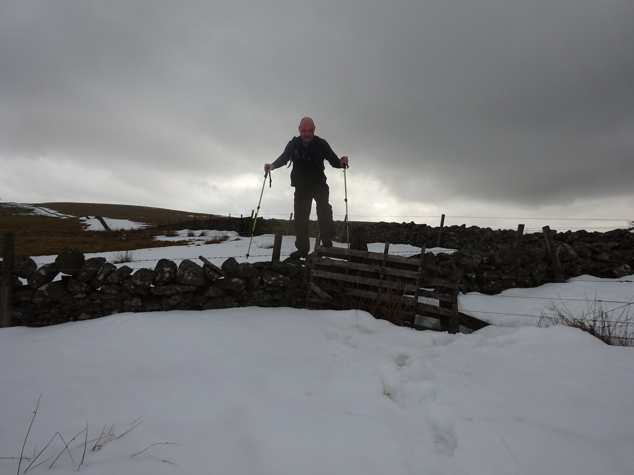
Here we go
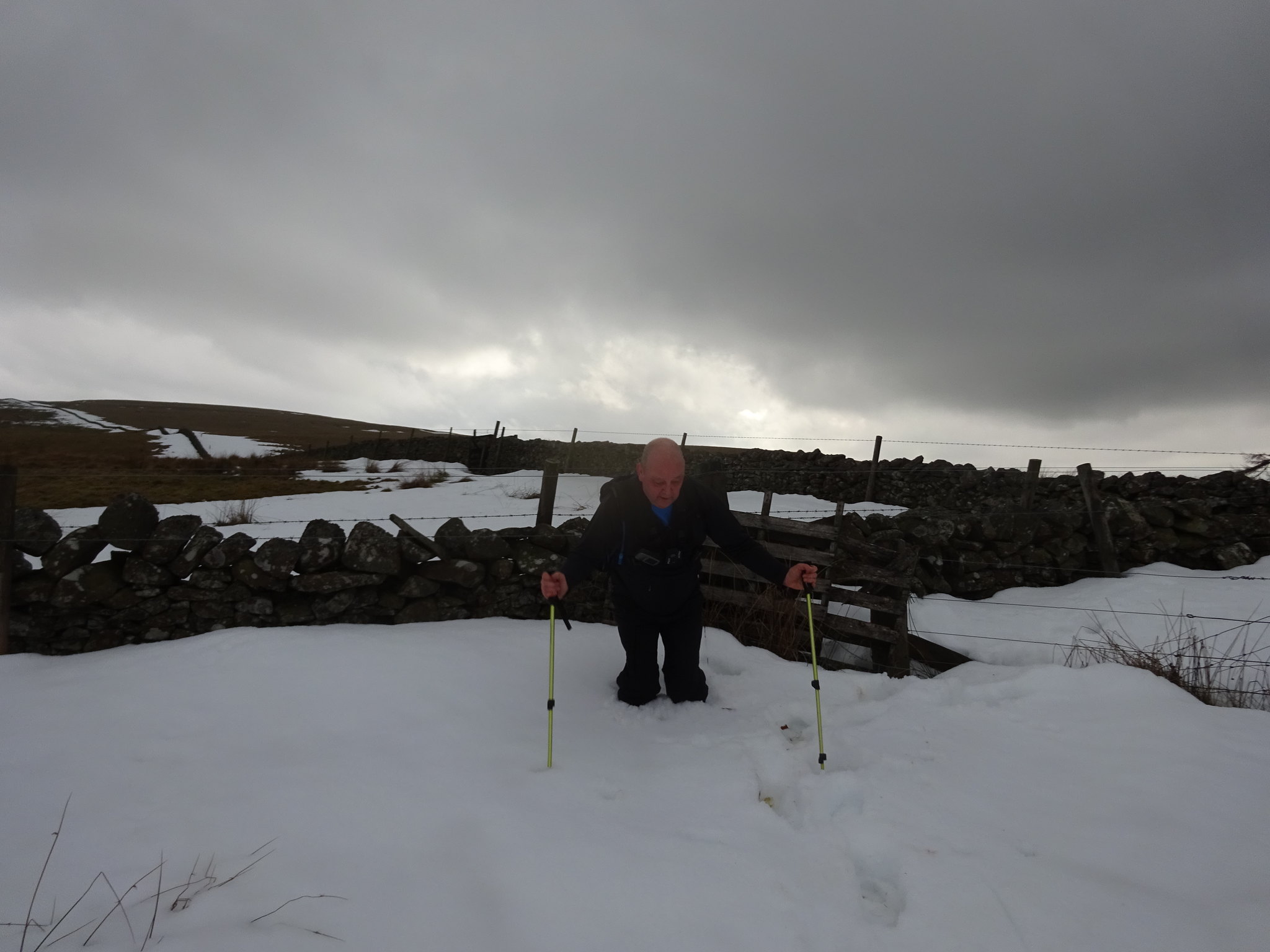
Nice soft landing
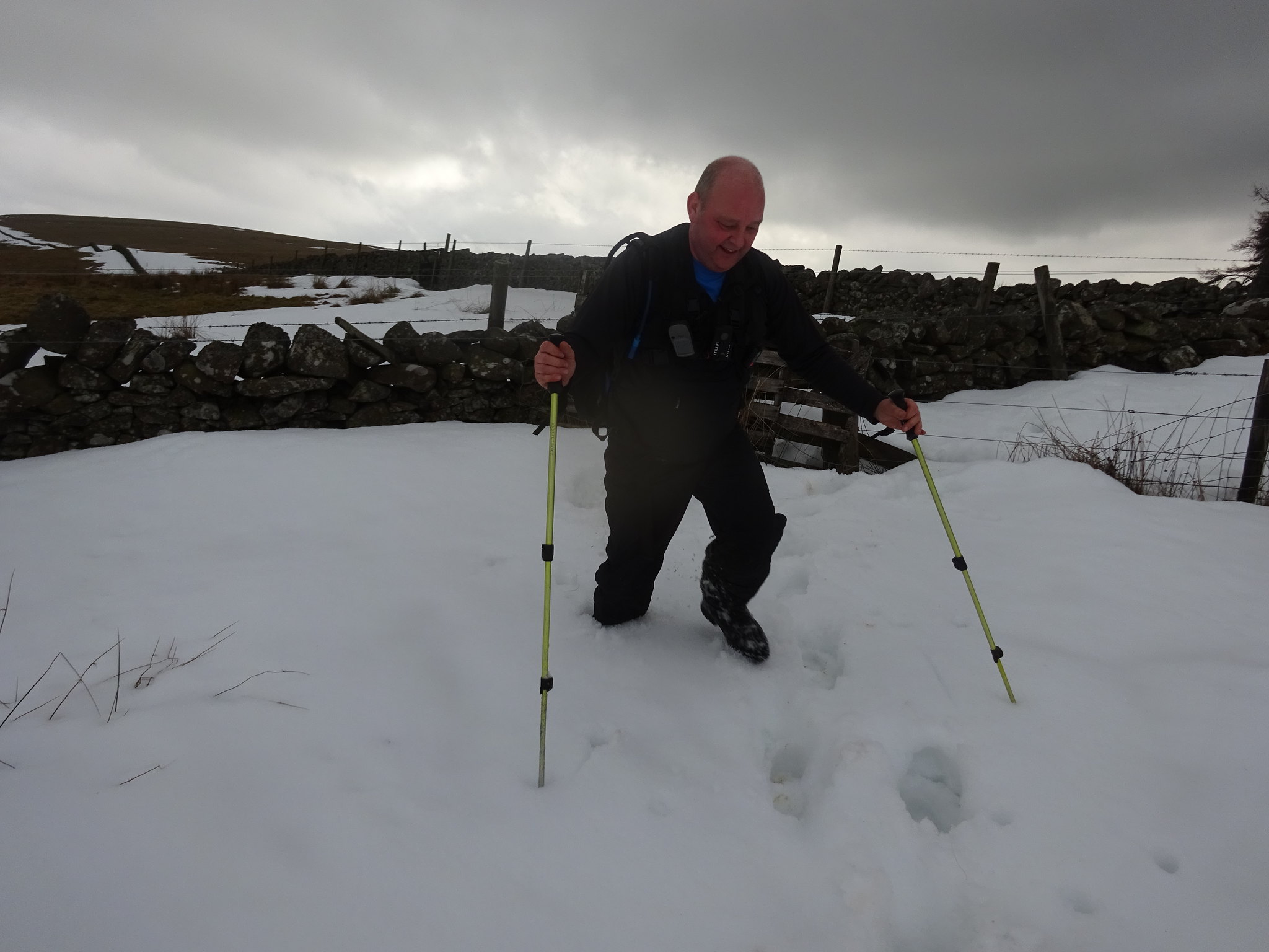
Smiling now
Even with the snow handicap we still made it back to the car in 30 minutes and that has to be one of the easiest blue balloons.
Sell Moor Hill
It turned out to be a great day, 4 completely different hills the pick of them especially for the views was Eildon. Huge thanks to George for his navigating and great company.
