free to be able to rate and comment on reports (as well as access 1:25000 mapping).
Where would we end up this weekend? Another look at the rapidly changing forecast to try and avoid the worst of the weather - after last week's fine time in Torridon I was keen to continue the exciting hills - but not in crap weather. In terms of our options, Perthshire looked the best bet - if we wrote off Friday doing little hills we could make the most of supposedly better weather on Sat/Sun. Decided to head up to Comrie Croft for Thurs/Fri nights, do some Marilyns around Crieff on the Friday and head for Glen Lyon thereafter.
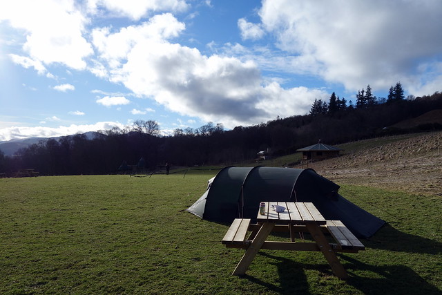
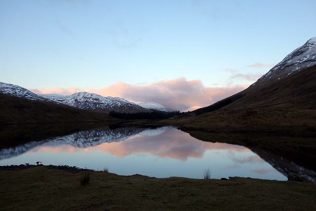
It's nice to see the continued evolution of Comrie Croft over the few years we've been going - they definitely have a vision which they are pursuing and have done a lot of work since we were there 6 weeks ago. This time we camped in the High Meadow, which we've not used before and were charged £5pppn which is great value. Pitched the tent, sat at a nearby picnic table to eat our tea then the rain started

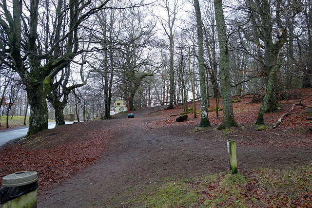
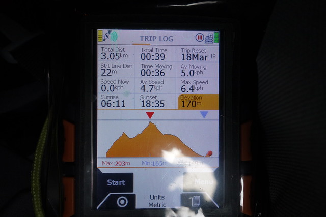
And it rained all Thursday night. We were hoping that it wasn't falling as snow higher up. We got up late, waiting for the rain to stop, which it more or less did, and made our way along the road to Knock of Crieff, which is accessed from Crieff Hydro grounds. The first section takes you to a viewpoint replete with seats - then there's a wooded section to the summit, with a mountain bike track encircling it. We found the cairn amidst the trees, decorated with bikers' discarded Red Bull and Isogel packs and descended. It didn't take very long.
 DSC00985
 by
Al, on Flickr
 DSC00988
 by
Al, on Flickr
 DSC00989
 by
Al, on Flickr
Lichen Tree
 DSC00990
 by
Al, on Flickr
 DSC00991
 by
Al, on Flickr
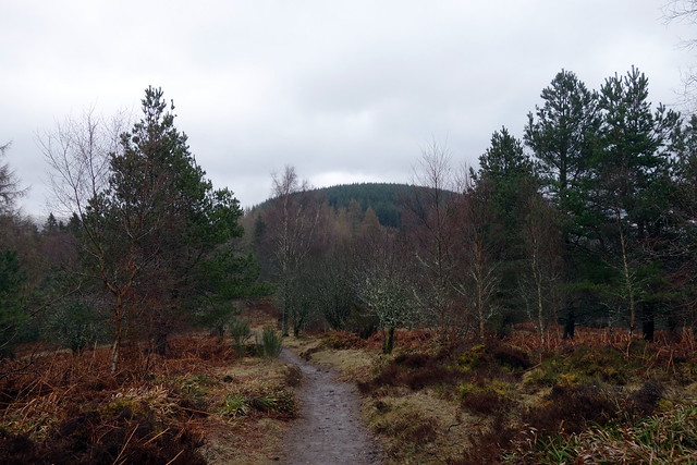
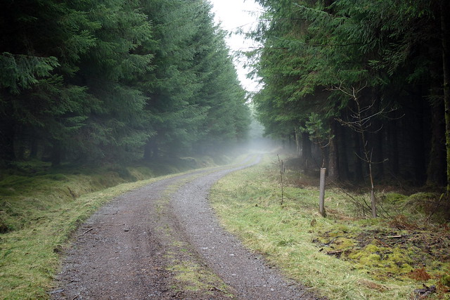
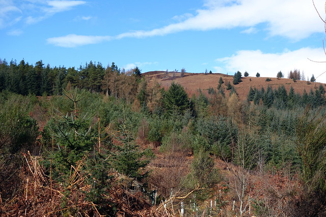
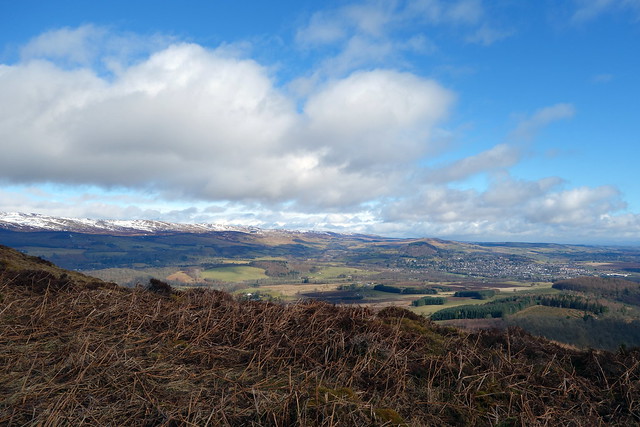
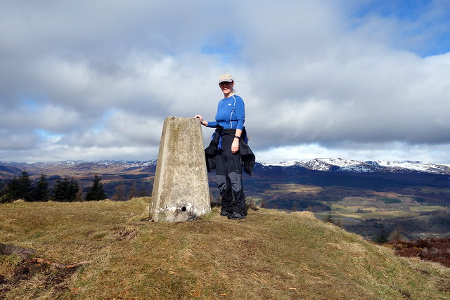
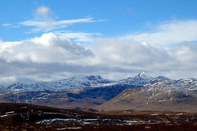
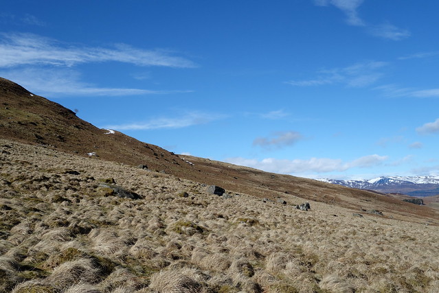
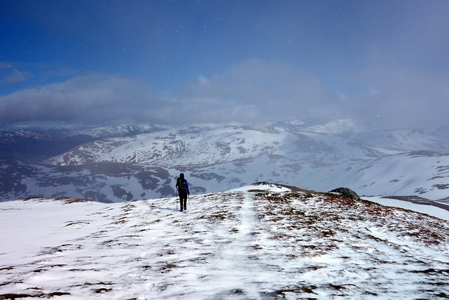
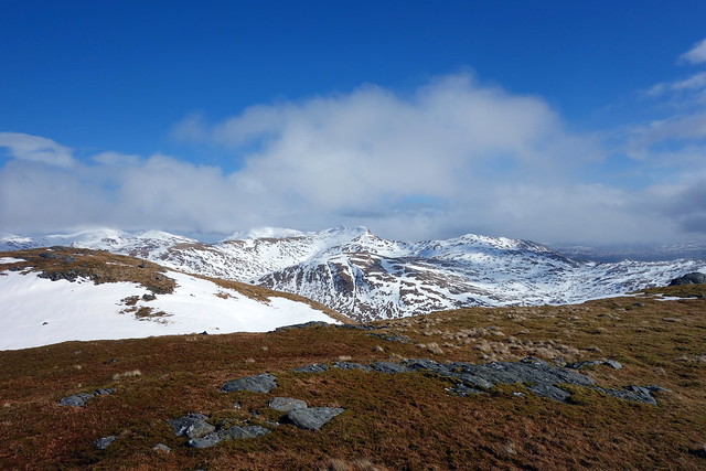
Next up - a couple of miles outside Crieff for Torlum Hill, accessed from a sawmill. Track most of the way up then through trees onto open heath to the summit. Some good views of Crieff and the hills to the north.
 DSC00992
 by
Al, on Flickr
 DSC00993
 by
Al, on Flickr
 DSC00994
 by
Al, on Flickr
 DSC00995
 by
Al, on Flickr
 DSC00996
 by
Al, on Flickr
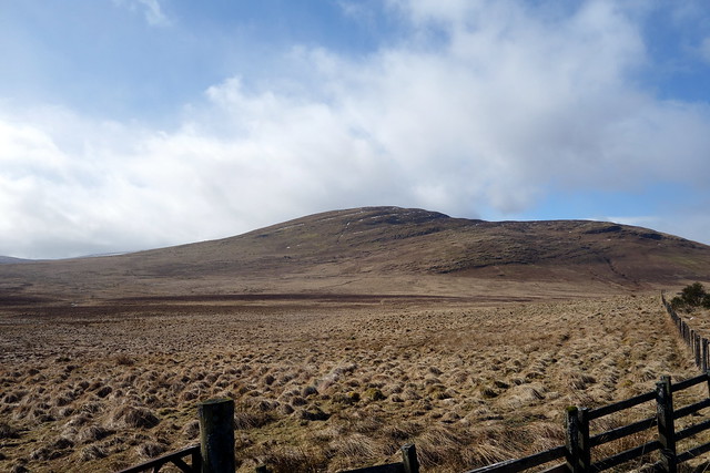
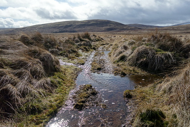
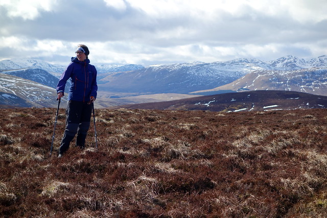
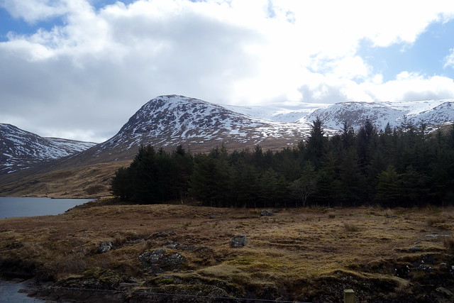
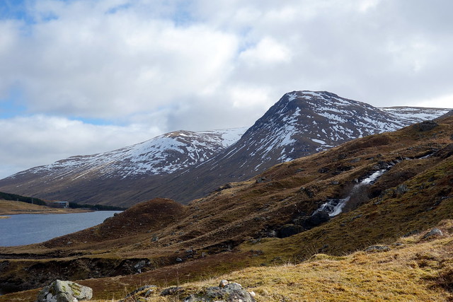
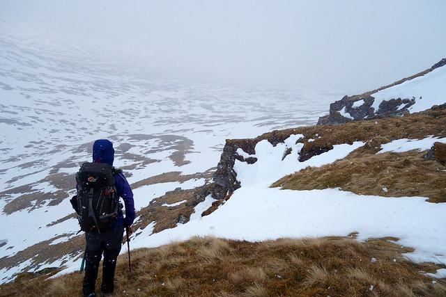
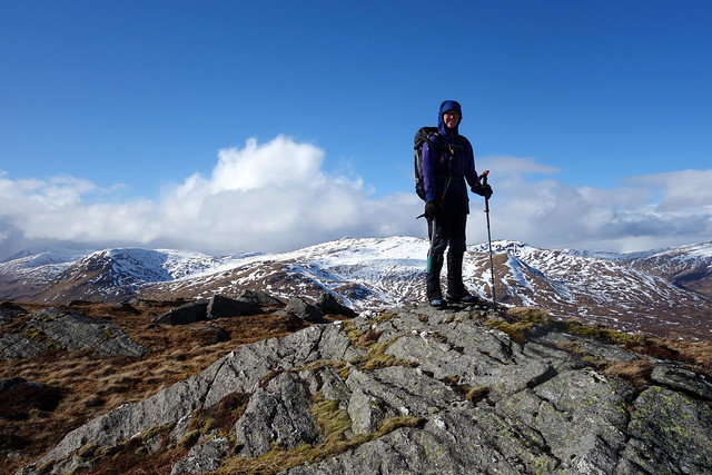
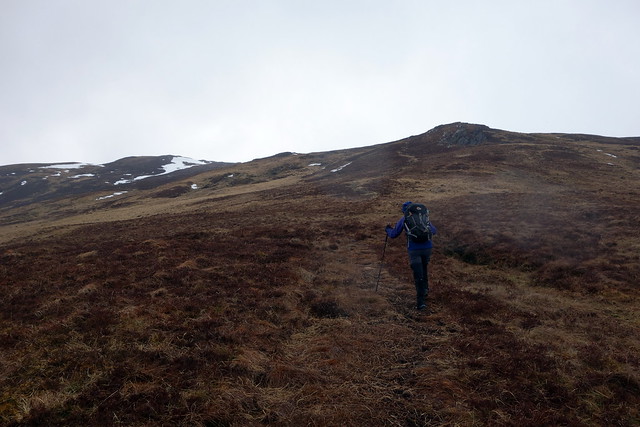
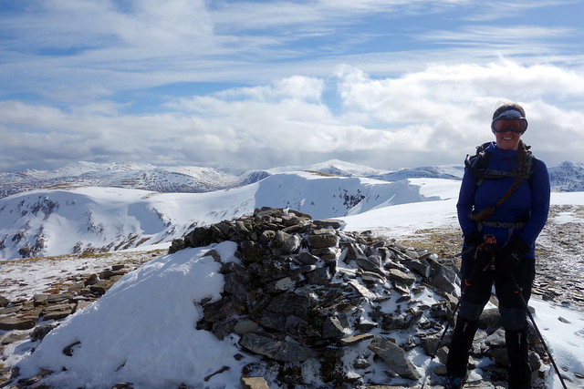
Back the same way, drove to our third and final hill of the day, Ben Clach. Stopped in a layby for lunch before setting off into the unpromising looking marsh that encompasses the lower section of the walk. I'd read one of the reports on here saying it was a harder hill than it looked, that's my view too! Dismayed by the lack of any meaningful track I set off directly for the hill. Bad move - there's a "stream" shown as a thread of blue on the map, which in reality was a deep, fast running river (at least today after last night's rain) So we needed to track back to the "path" which - although mostly sub-aquatic - did have a bridge going over the "stream".
We galumphed along the path and started to head up the hill over marshy tussocks. Good views were had of Ben Vorlich. We tried in vain to find a cairn amidst the windswept grass, decided we had walked over the highest point and descended amid a scattering of boulders which, I guess, give the hill its name "Hill of the Stones".
 DSC00997
 by
Al, on Flickr
"path"
 DSC00998
 by
Al, on Flickr
Vorlich
 DSC00999
 by
Al, on Flickr
It's here somewhere...
 DSC01000
 by
Al, on Flickr
Stones
 DSC01001
 by
Al, on Flickr
 DSC01002
 by
Al, on Flickr
Well that was a very exciting day out

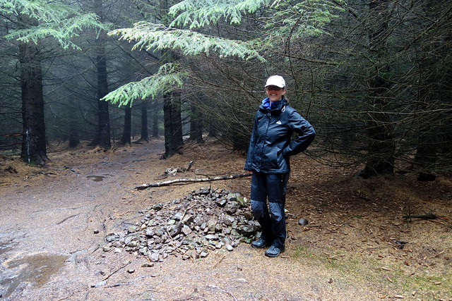
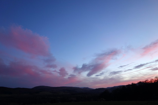
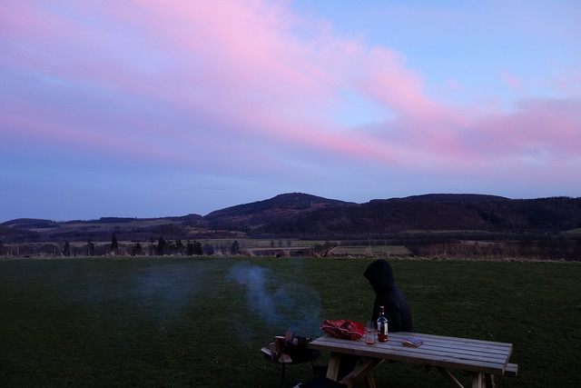
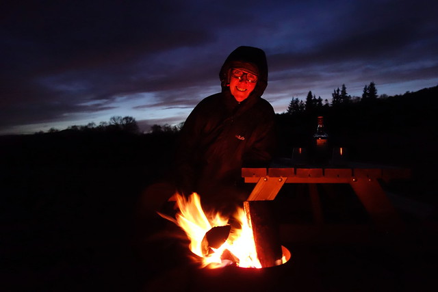
We returned to Comrie hoping to have a fine hot shower - but their boiler was off. Damn. So we sat in the sun and wind, read a book then had tea. In the evening we came across an abandoned bag of firewood - given that Comrie has fire-pit things by every pitch we broke with tradition and lit a fire. And had a wee nip to keep us warm after the sun went down. Other than our gear now smelling of woodsmoke it was a nice evening.
 DSC01003
 by
Al, on Flickr
 DSC01005
 by
Al, on Flickr
 DSC01004
 by
Al, on Flickr
 DSC01008
 by
Al, on Flickr
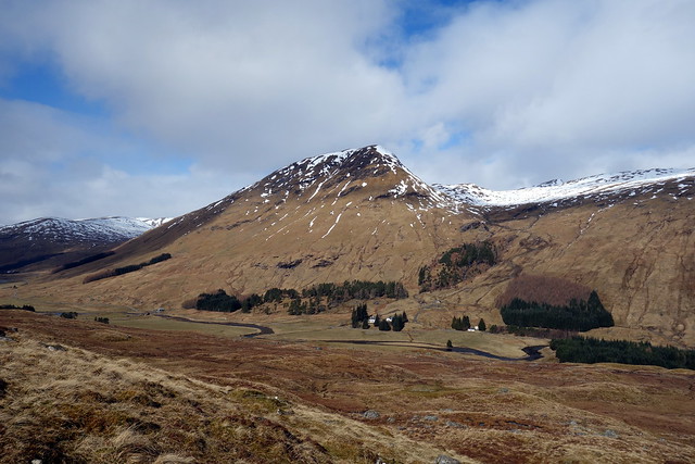
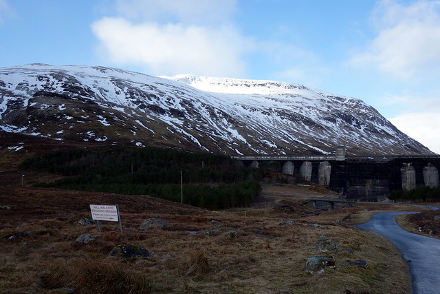
We'd planned to get away early in the morning - just as well because at 7am a campsite person was marking out Rugby 5s pitches just below the tent, and at 8 a whole crowd of rugger people are playing below us, meaning we have to squeeze through with the stuff back to the car. Whatever... Then it's a drive to Glen Lyon via the back road to Aberfeldy - which has a lot of snow by the side of the road and some on the road - this fills me with some unease given where we're headed. However the road along to Pubil is fine, no snow near road level. I've arranged a horseshoe of Meall Ghaordaidh from Cashlie, making use of a bridge at either end of the reservoir. Had I planned things a little better I would have included 2 more Simms in the day

But not to worry...
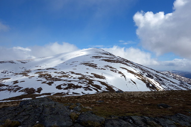
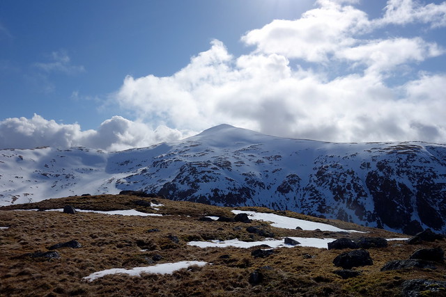
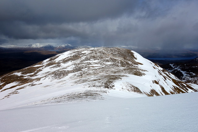
When we did Meall Ghaordaidh last time it was from Glen Lochay in the clag, so this could only be an improvement. I felt it was a nice direction to approach the hill from, showing the buttress to its North. We crossed the river on a wobbly bridge, negotiated a minor swamp to reach the trees, then had a steady pull up Meall na Cnap Laraich. Across the glen is the impressively steep An Grianan, a southern outlier of Stuchd an Lochain. We reach the top of out first Sim and find a spot out of the wind to have lunch. We can see the white peak of Ghaordaidh up ahead, with someone on the summit. Blue skies replace cloud temporarily. Dropping from the Sim, we start off up the next 250m to the summit. Despite the heavy rain on Thursday night there doesn't seem to be any new snow here, and its soft enough not to require crampons. As we get to the top a band of hail/snow comes up from behind us, snatching away the views.
 DSC01009
 by
Al, on Flickr
North Buttress of Ghaordaidh
 DSC01011
 by
Al, on Flickr
An Grianan across the glen
 DSC01013
 by
Al, on Flickr
Ghaordaidh
 DSC01017
 by
Al, on Flickr
 DSC01019
 by
Al, on Flickr
Another shower coming in behind
 DSC01021
 by
Al, on Flickr
 DSC01022
 by
Al, on Flickr
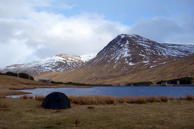
We continue eastwards, reaching Cam Creag. Up ahead I can see the Corbett of Beinn nan Oighreag - tempting to add it to today's short walk. There's the Tarmachan Ridge off in the distance. We follow the boundary line to the bealach with Oighreag, but the drop down, although only 50-60m looks a bit awkward in slippy snow. A blizzard starts just at that point, which I take as an omen, and we leave it be. I will curse this when I get round to the second round of Corbetts, but for today it mattered not. we continue onto the final Sim of Creag na Tulabhain. The sun is back out giving a lovley finish to the day as we trot down the flanks of Tulabhain and make for the bridge to the east of the dam. Plenty of good spots for camping - but we've seen one on a peninsula out into the Stronuich Reservoir. We park off the road, behind a car which turns out to have a lady birder inside - she's watching ravens on their nest on the crags of Ghaordaidh. We take down the tent stuff and set up as the rain starts again.
 DSC01023
 by
Al, on Flickr
 DSC01024
 by
Al, on Flickr
Tarmachan ridge
 DSC01026
 by
Al, on Flickr
Dip down to Oighreag
 DSC01027
 by
Al, on Flickr
Dam at Pubil
 DSC01031
 by
Al, on Flickr
Tulabhain
 DSC01033
 by
Al, on Flickr
Ghaordaidh
 DSC01034
 by
Al, on Flickr
 DSC01036
 by
Al, on Flickr
 DSC01037
 by
Al, on Flickr
A cold wind blows up the reservoir, chilly enough to enforce an early bed (at just gone 5.30pm) to keep warm. And it rains overnight. I fear snow, but none falls at ground level. We're up early at 6 - although the virtue of this is diminished as the clocks have gone forward and it's now 7am

The wind has fallen away, the sky looks semi-promising.
 DSC01038
 by
Al, on Flickr
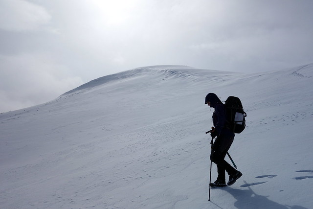
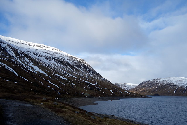
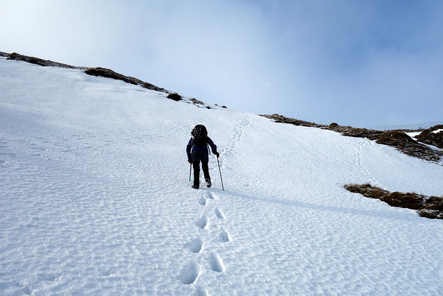
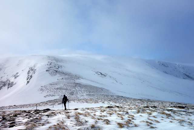
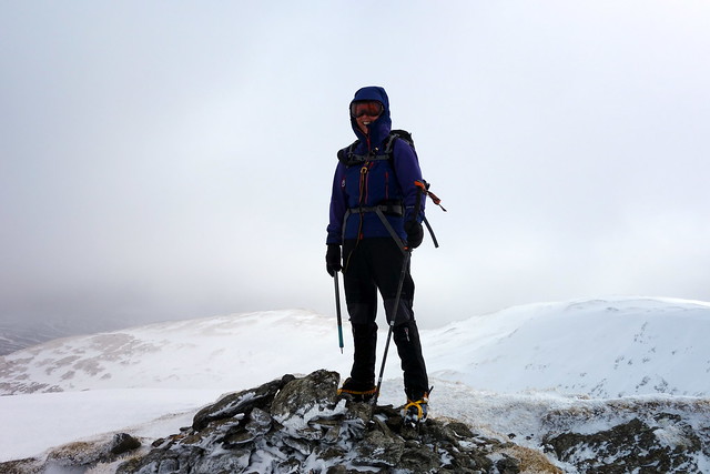
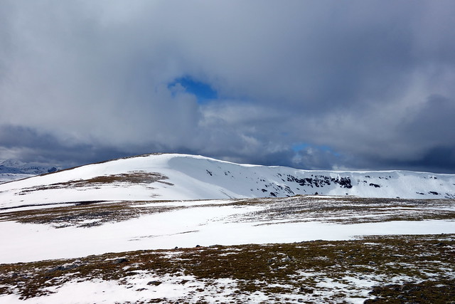
We drive around to the Giorra dam on Loch an Daimh and park up, not surprisingly first car there. The road up has been resurfaced and gritted - impressive. Stuchd an Lochain is first on the agenda.I did want to do these two an alternate way - I had thought of approaching Stuchd from Cashlie, but that would be longer and make adding on Meall Buidhe difficult. Similarly a walk right round Loch an Daimh, whilst an attractive circuit, has the disadvantage of length at this time of year. So it was up the standard route. Overnight frost made the snow solid - we stepped in giant frozen footprints as we ascended Coire Ban. It was steep going - and axes were deployed. Nearer the top of this section we fitted crampons too - there was a tricksy little patch of steep frozen snow going up to the 887m cairn, although thereafter there was little need for the ironware.
 DSC01040
 by
Al, on Flickr
 DSC01041
 by
Al, on Flickr
Up Coire Ban
 DSC01042
 by
Al, on Flickr
 DSC01044
 by
Al, on Flickr
 DSC01045
 by
Al, on Flickr
 DSC01048
 by
Al, on Flickr
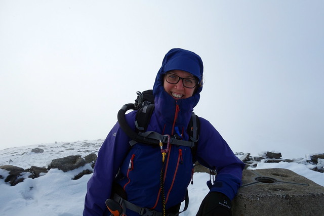
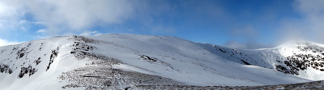
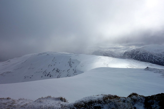
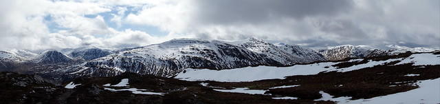
Views were improving as the sun burned off the clag as we reached Sron Chona Choirein. Lots of cornicing around the coire to the summit but easily avoided. A pleasant sunny walk to the top, then retrace our steps. Coming down to the steep section at Coire Ban we met an older couple who had turned back after doing most of the hard work - no ice axes... He'd been the 4th Nuttall completer (back in 1993) and they were in training for a trip to Mont Blanc. Whilst we were talking to them on the way back to the car park we were passed by a younger couple, he in shorts and trainers, carrying a small dog. No winter gear.
 DSC01049
 by
Al, on Flickr
 DSC01050
 by
Al, on Flickr
Looking back to Sron Chona Choirein
 DSC01051
 by
Al, on Flickr
 DSC01052
 by
Al, on Flickr
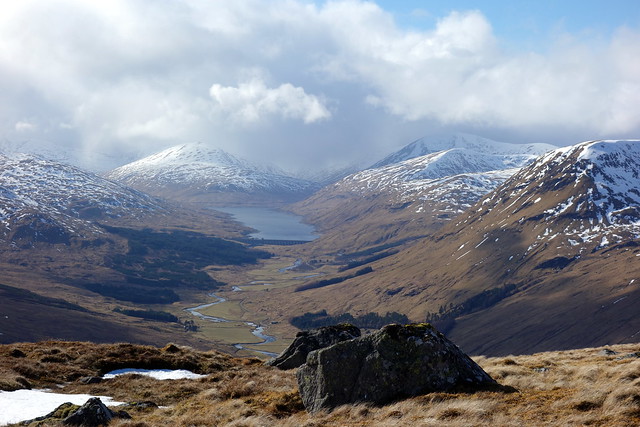
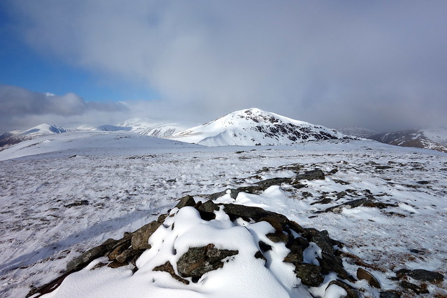
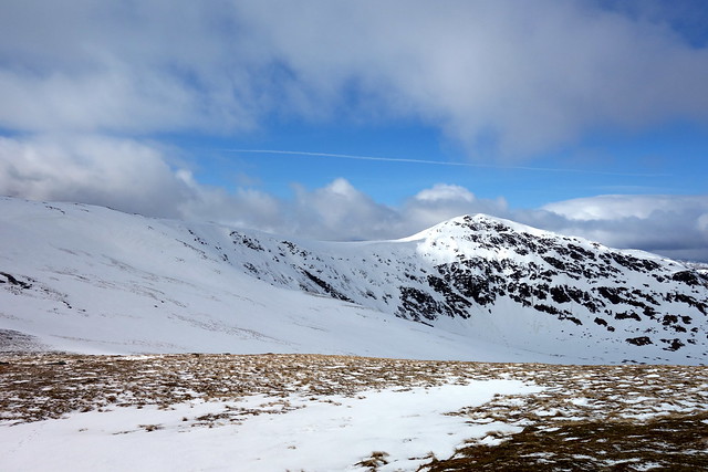
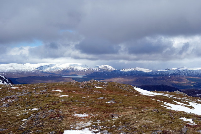
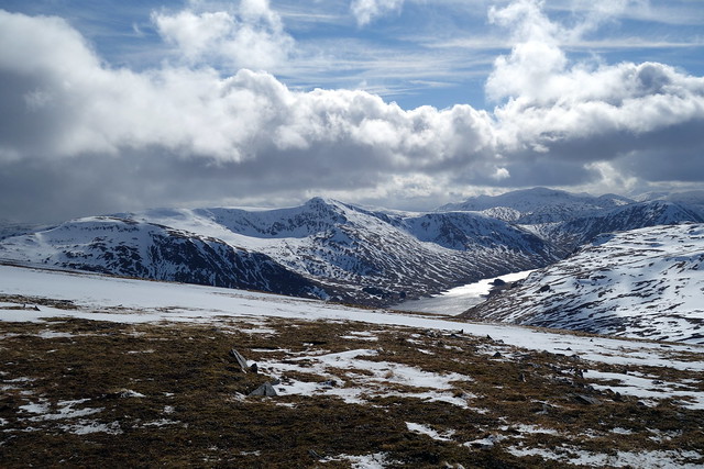
Back at the car park we sat and had lunch. Clag descended, the wind wrapped icy fingers and the rain/hail started up - I had a little schadenfreude at the thought of Mr Shorts up on the hill we'd just come down from. Then it was onwards and upwards - Meall Buidhe was waiting. This had been Allison's 50th first time round - no views that day and it was threatening to be similar today. Bogs - some frozen some thawed harried our way, then snow patches. The sky was clearing, giving good views down Loch an Daimh and over to Stuchd. We included Meall a'Phuill on the basis that with 3 ring countours it might be a Sim (wasn't - 26m drop only) but it did give good views of the Meall Buidhe summit ridge. Ben Alder hills visible to the northwest, Glencoe too. Cloud after cloud headed up Loch Laidon dropping rain and snow, but we were largely spared.
 DSC01054
 by
Al, on Flickr
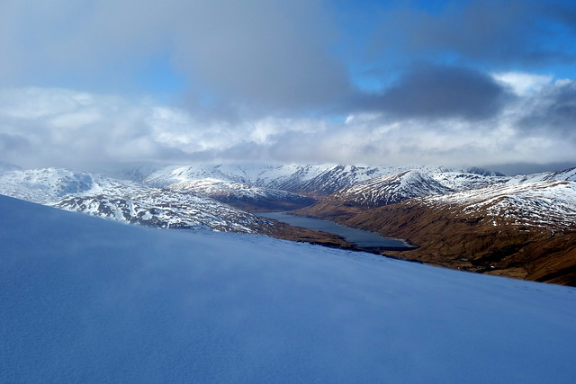
Loch an Daimh
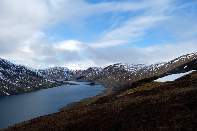 DSC01055
 by
Al, on Flickr
Stuchd an Lochain
 DSC01057
 by
Al, on Flickr
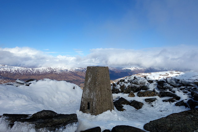
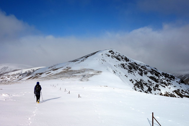
Up to the summit cairn, huge balloonng cornices ready to fall. Decided to continue on to Meall Garbh - with 5 contour rings this had to be a Sim (yes!). Then back the way we'd come, enjoying the sun dazzling the surface of Loch an Daimh. A pretty good day out after all, glad we got views of this pretty spot.
Summit ridge of Buidhe
 DSC01059
 by
Al, on Flickr
Ben Alder hills
 DSC01060
 by
Al, on Flickr
Summit, Meall Garbh beyond
 DSC01062
 by
Al, on Flickr
 DSC01064
 by
Al, on Flickr
Meall Garbh
 DSC01066
 by
Al, on Flickr
Loch an Daimh
 DSC01068
 by
Al, on Flickr
 DSC01069
 by
Al, on Flickr
