free to be able to rate and comment on reports (as well as access 1:25000 mapping).
A favourable ish forecast meant let's get some fresh air, where to head. George and I are not used this weekend walking lark, we guessed there would still be snow on the higher ground so we set our sights a bit lower.
I had a look at Grahams for a change and a nice little cluster on the banks of Loch Lomond seemed like a good idea, especially as we could collect 3 or maybe even 4 blue balloons.
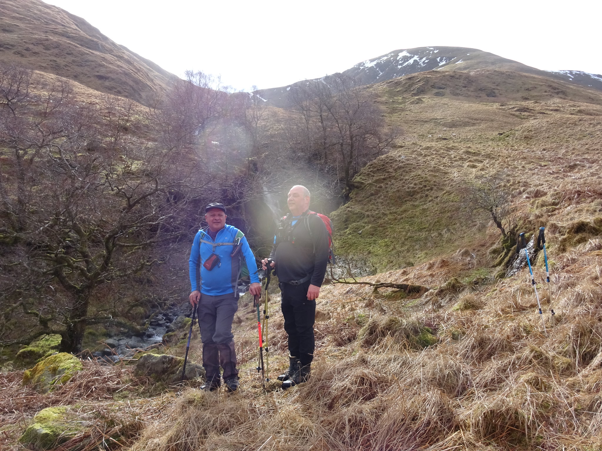
George contacted Parminder and he was keen to get out as his last outing was Ben Vane a few weeks ago and he admitted he found it tough going. George offered to drive and we would meet Parminder in Luss at the car park in the village.
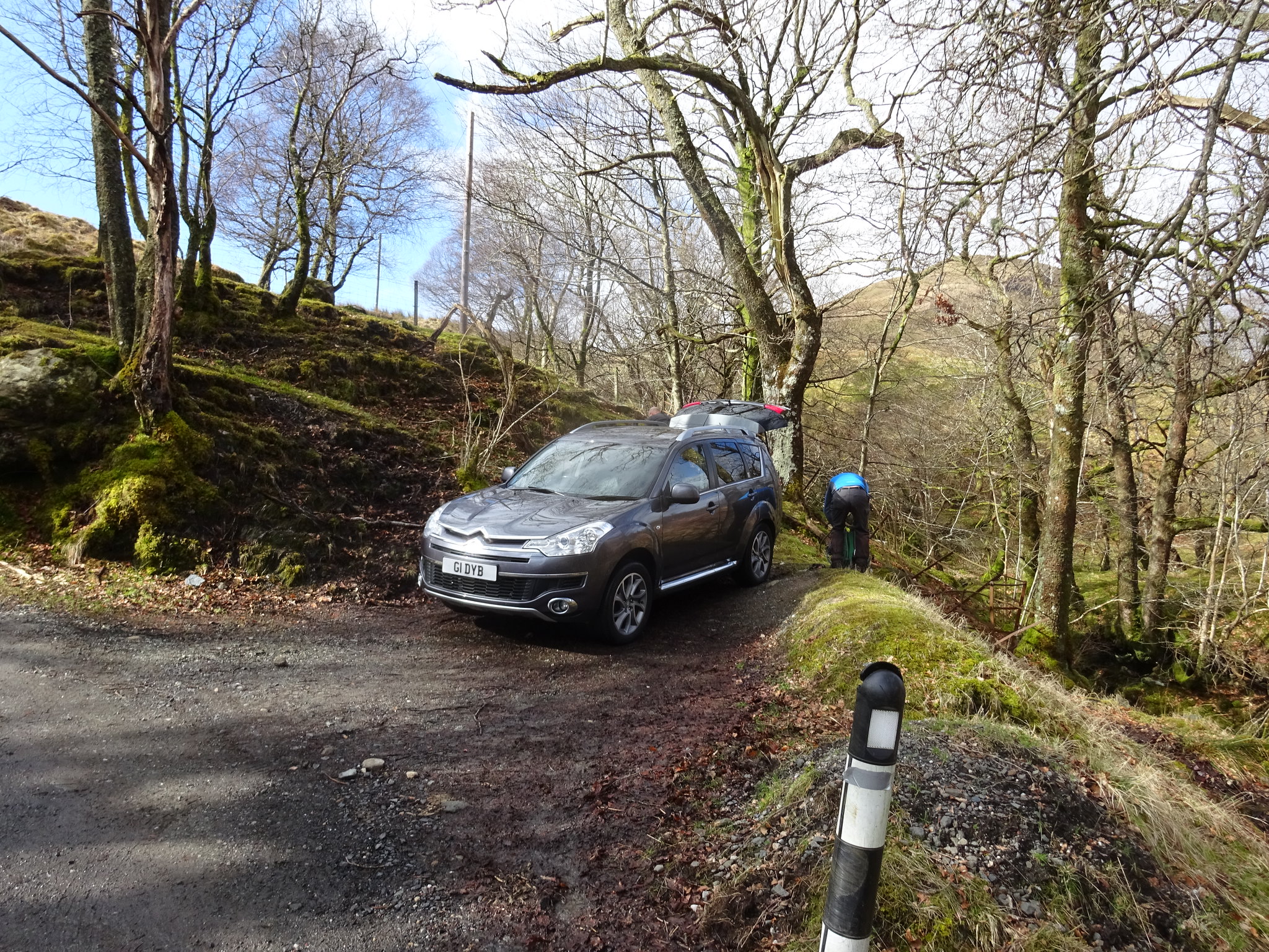
We met up at 10.15 and George offered to drive us up the road, which we were very appreciative of as it probably saved us about an hour of extra walking, albeit on tarmac. As we travelled up the road we noticed about half a dozen cars park in a parking area at the start of the road. As we progressed along the road we were making comments about possible parking spots just in case we had to backtrack, as it turned out we didn't need to worry as we found a good spot at the bridge.
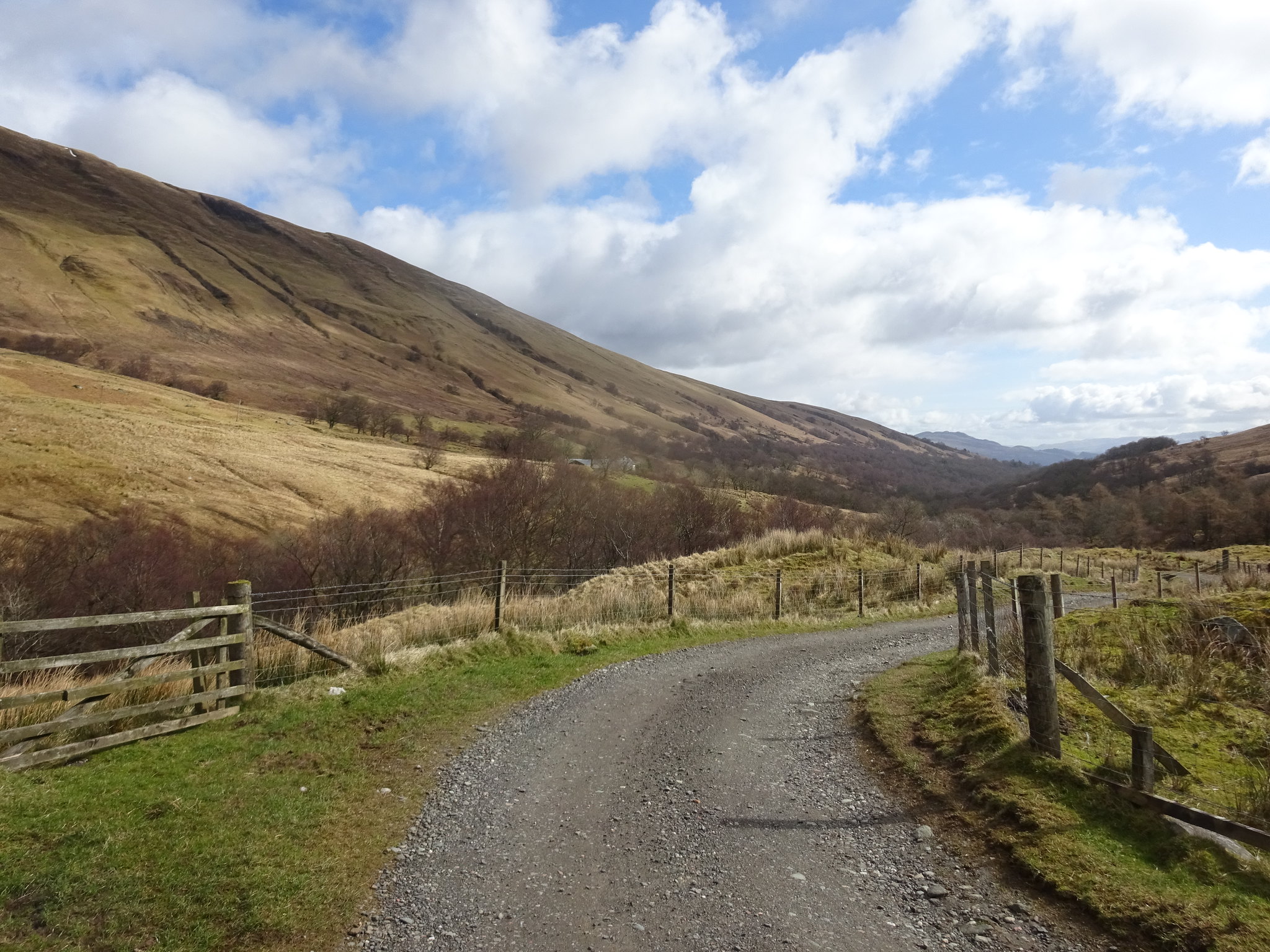
All kitted up we set off and picked up a good track that was heading WSW and it wasn't until we had walked about a mile that I checked the route on my phone - oh dear we were heading in the wrong direction, albeit we were walking parallel to our planned route. After a discussion decided to continue, we then discovered a bridge over the Luss Water which was just as well as we couldn't find a crossing point and it was looking as if we were going to end up with wet feet.
Our destination, we would head up the shoulder
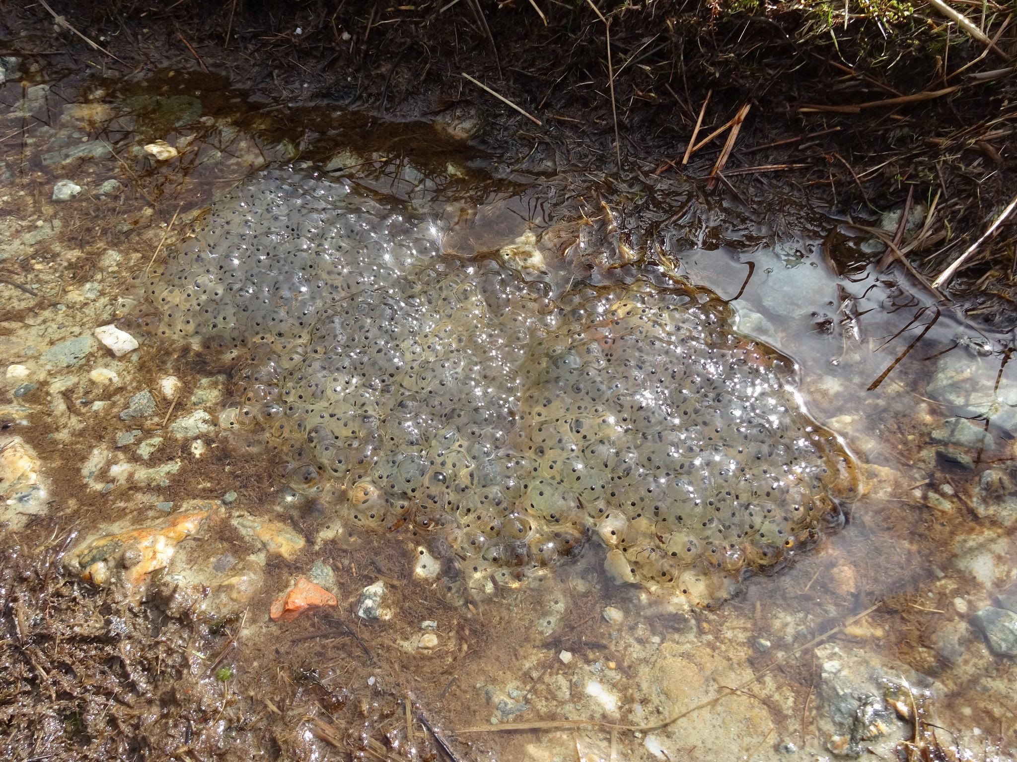
Plenty of frog spawn in the puddles on the track
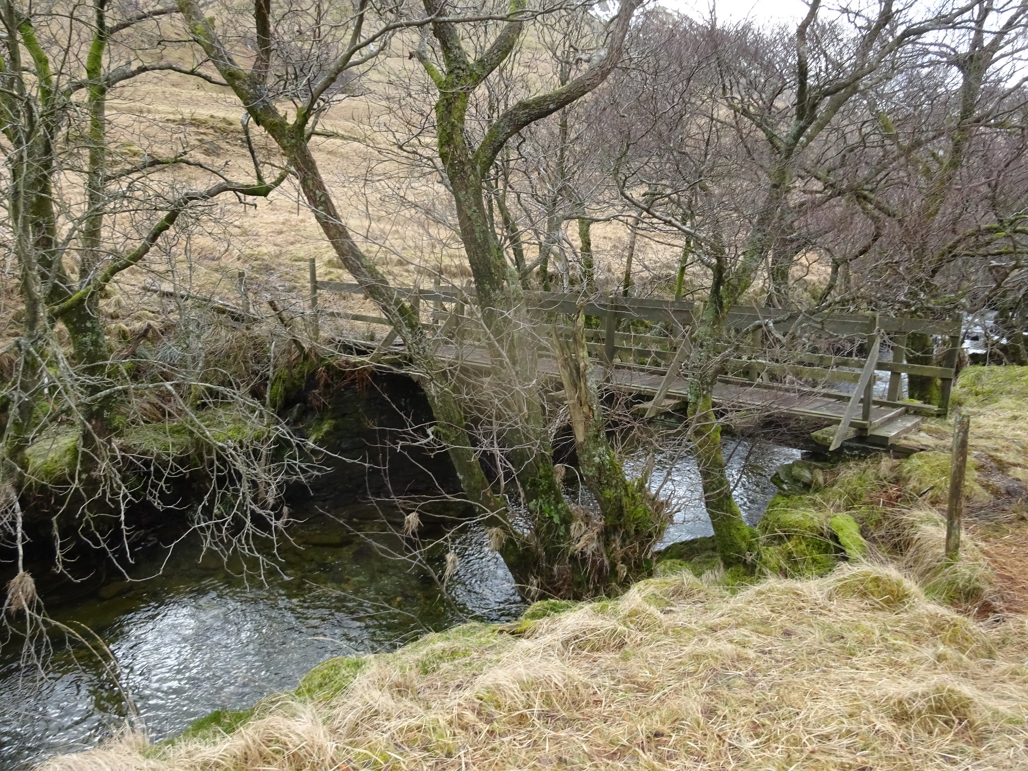
The bridge that really goes nowhere
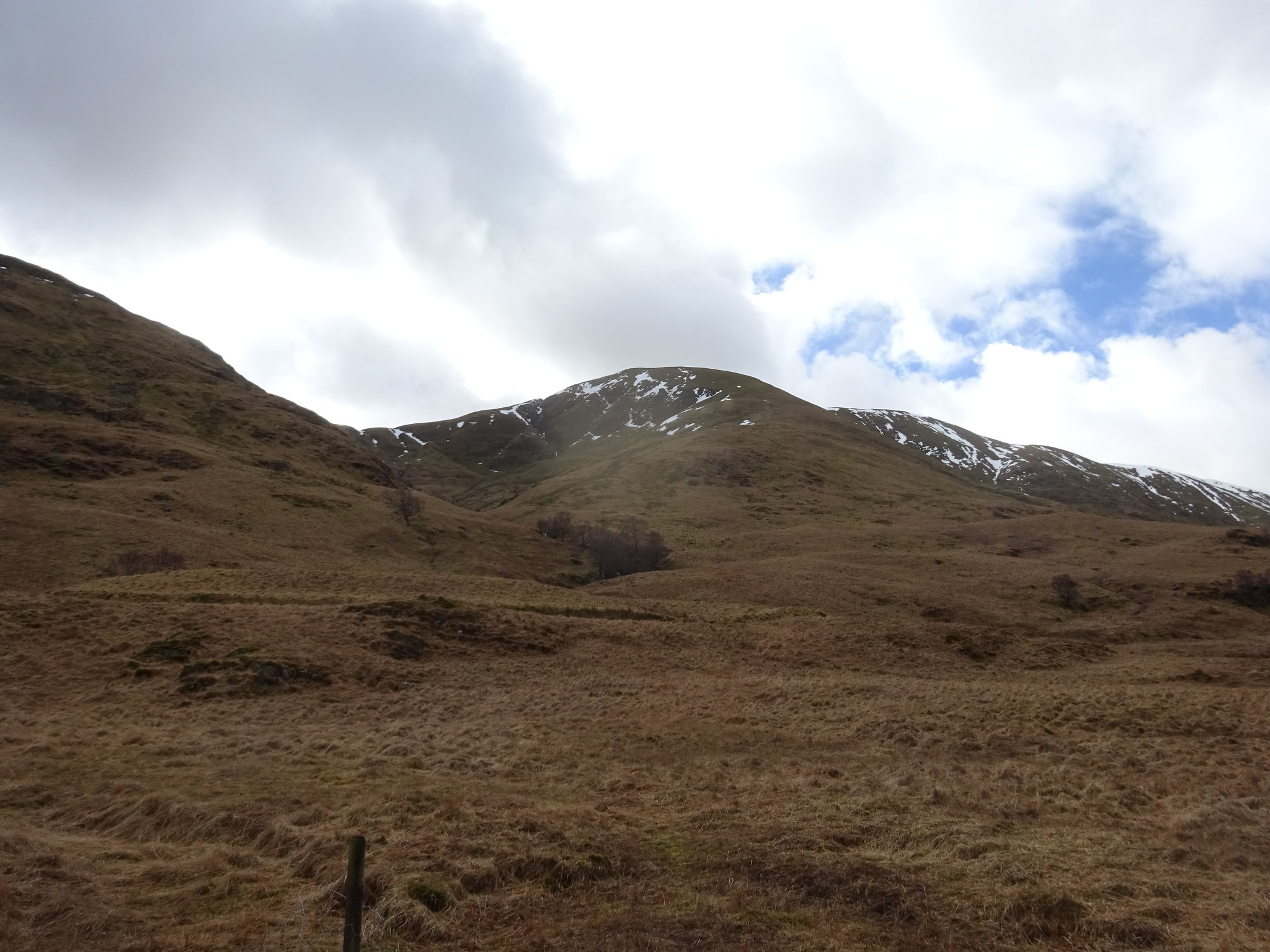
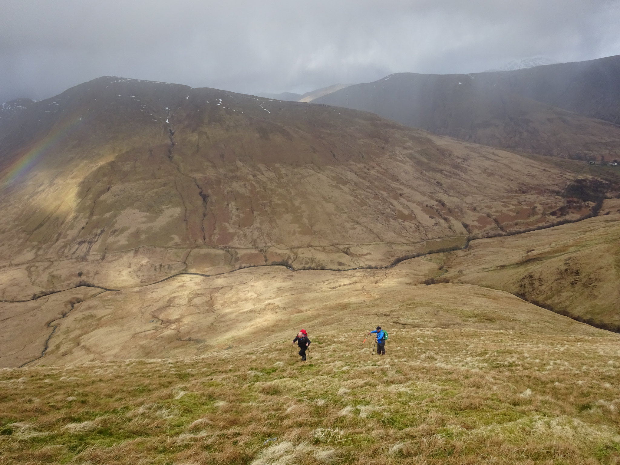
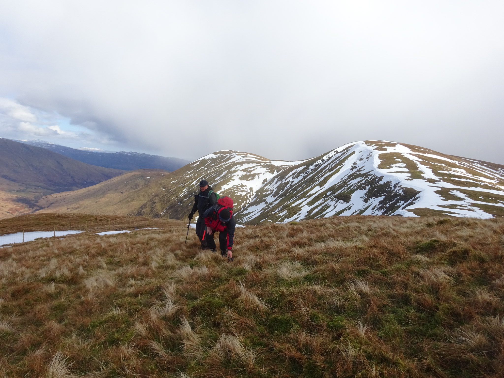
Once across the bridge I checked our route again and we were now heading further away from where we should really be, so it was bis decision time. The map came out and although the hill/ridge we were heading for looked interesting it was not our intended target. We discussed the options, do we descend and pick up our intended route or continue heading up the shoulder of Creag an Leinibh. We decided to continue as the ridge looked interesting and we would bag at least one Graham.
Looking down the glen
Looking across the glen to Beinn Eich, where we should have been
Looking back down
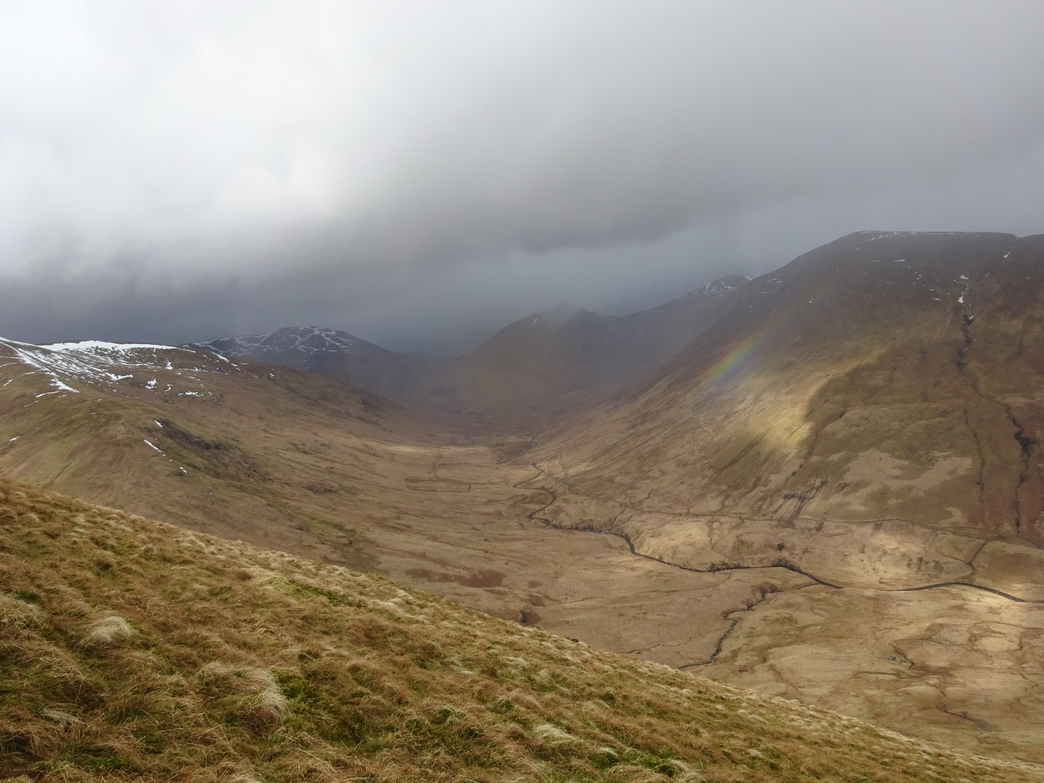
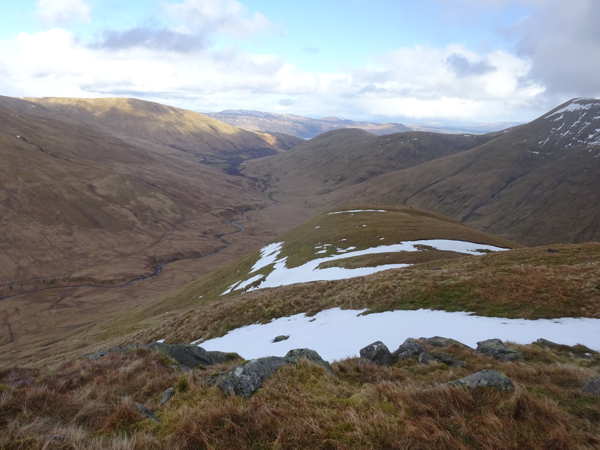
Looking down the glen from higher up
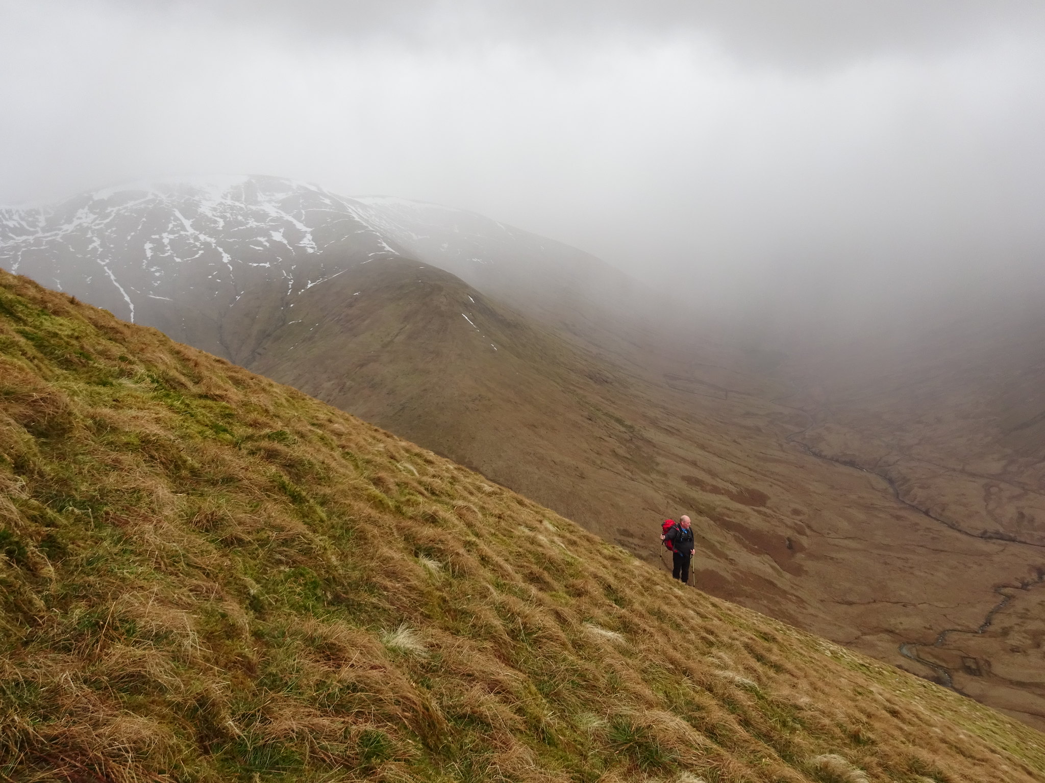
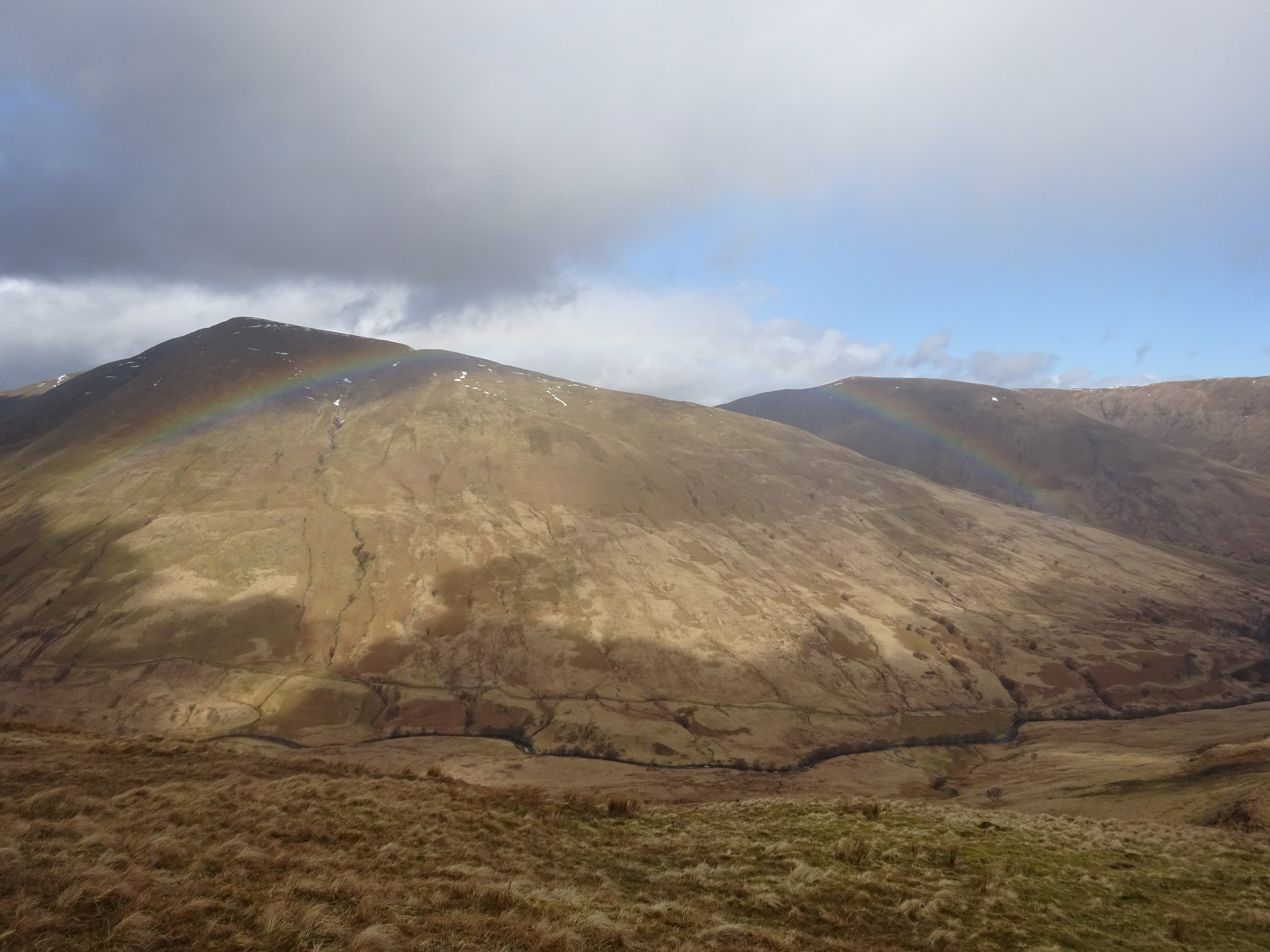
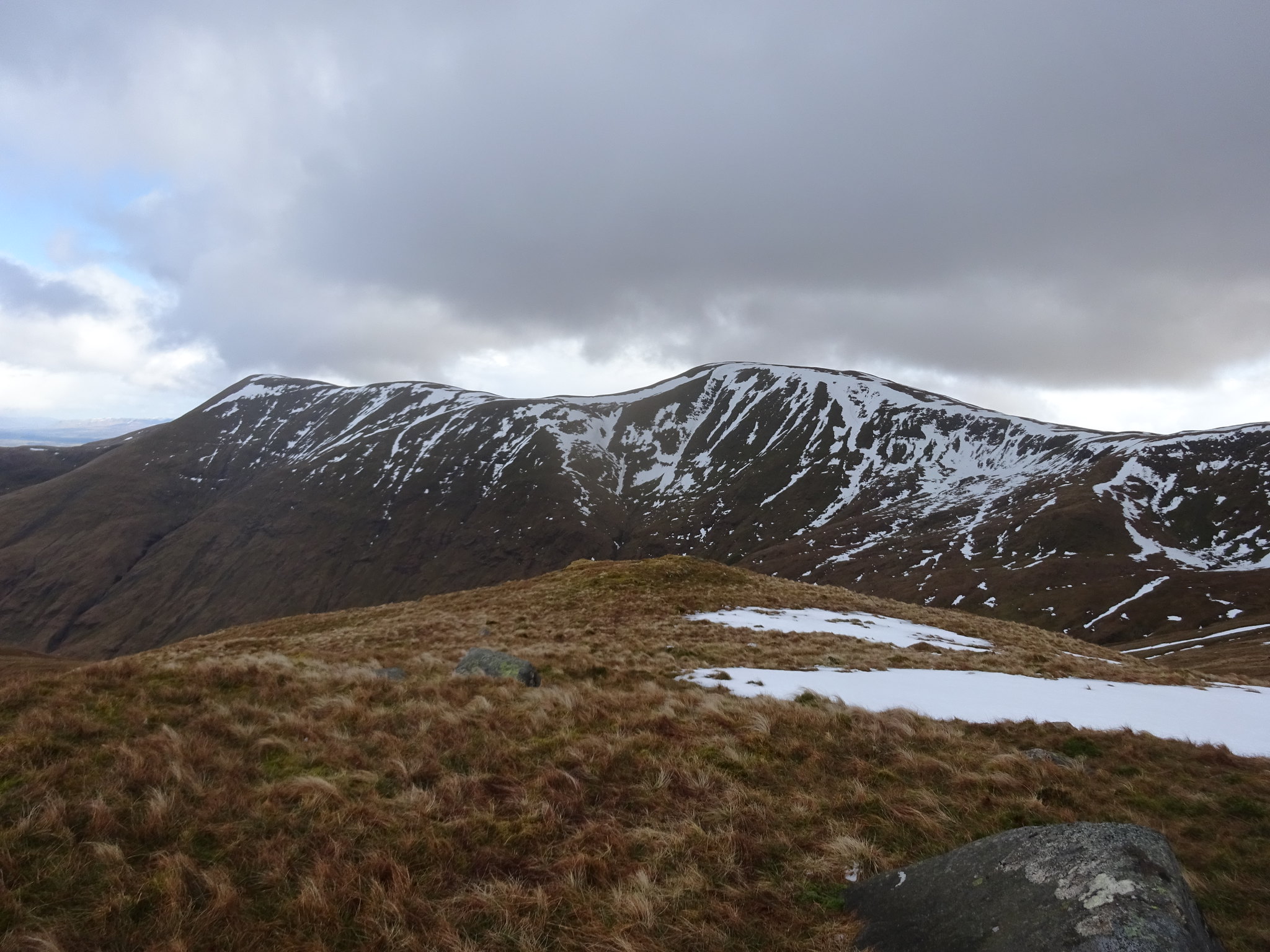
Weather changing, shot also shows the steepness
The slightly higher cairn on Creag an Leibnibh
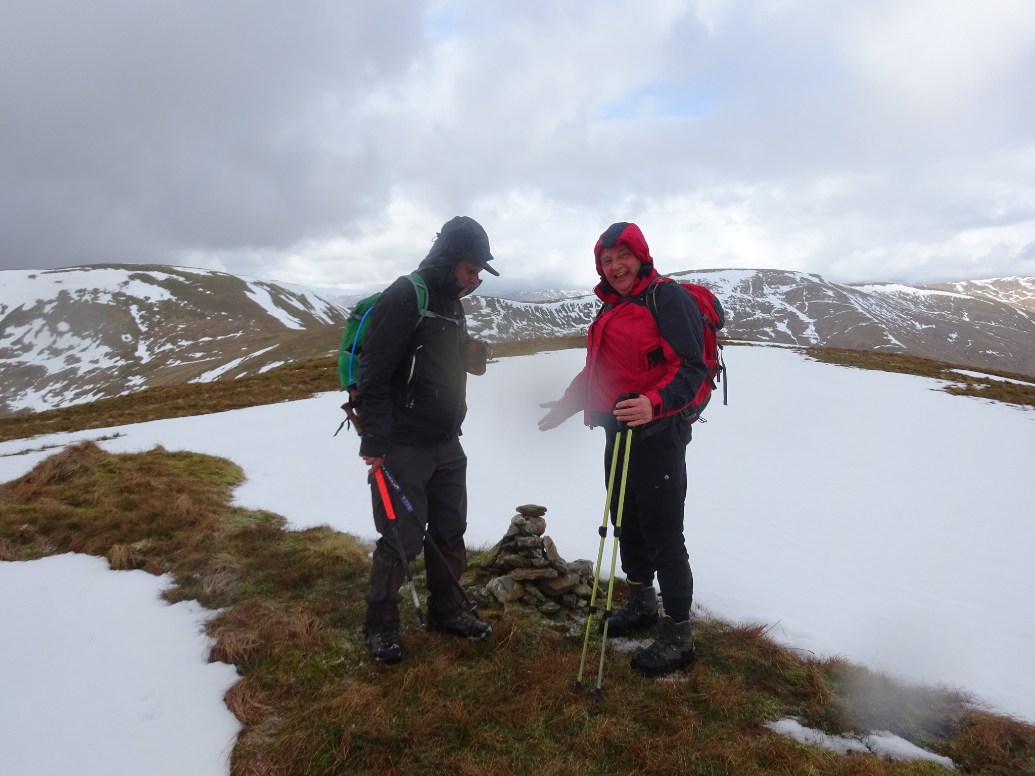
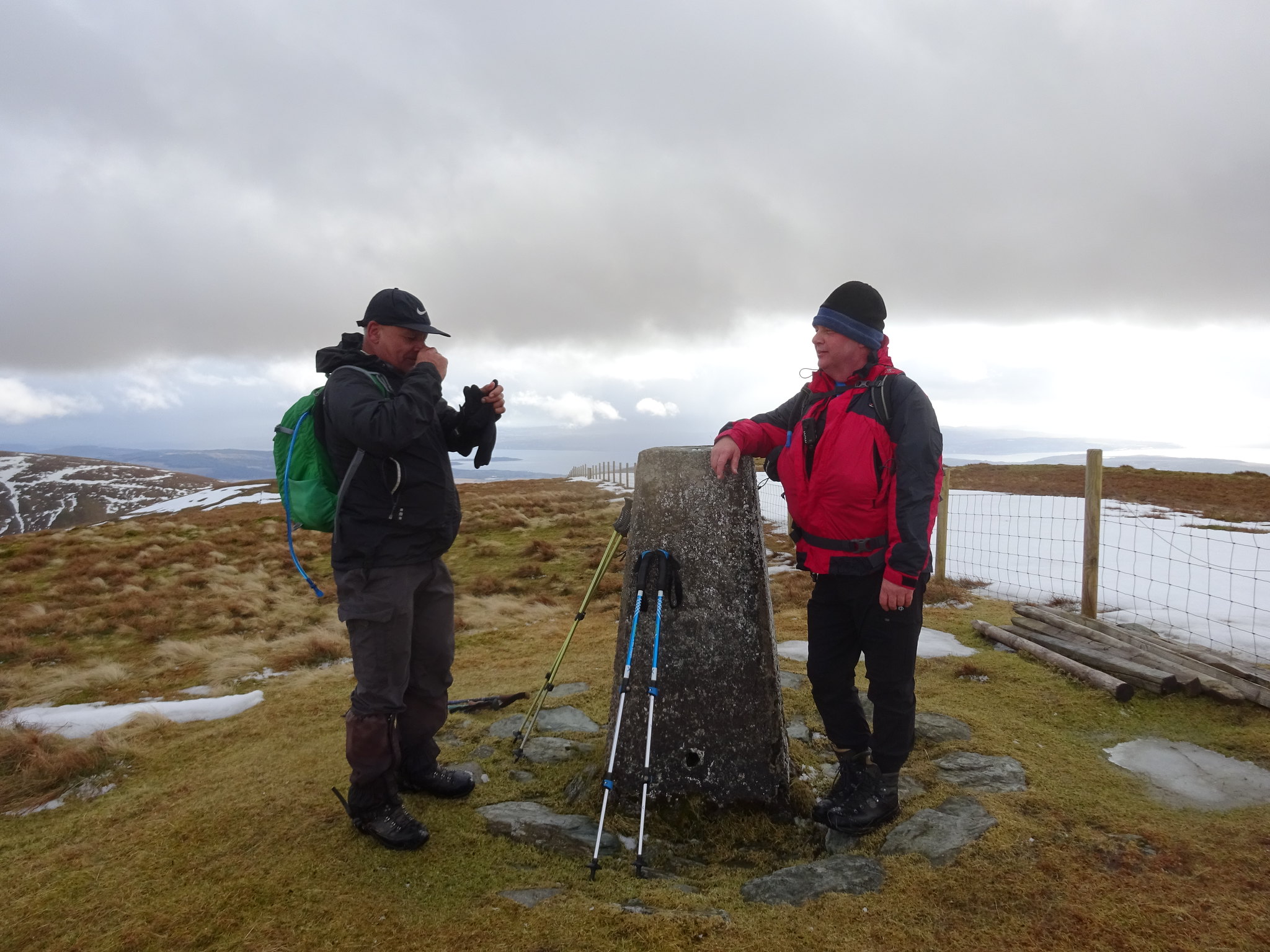
After umpteen stops on the ascent we finally reached the summit of C a L which had a rather flat little cairn, which we increased in height before Parminder arrived.
Heading away from the summit
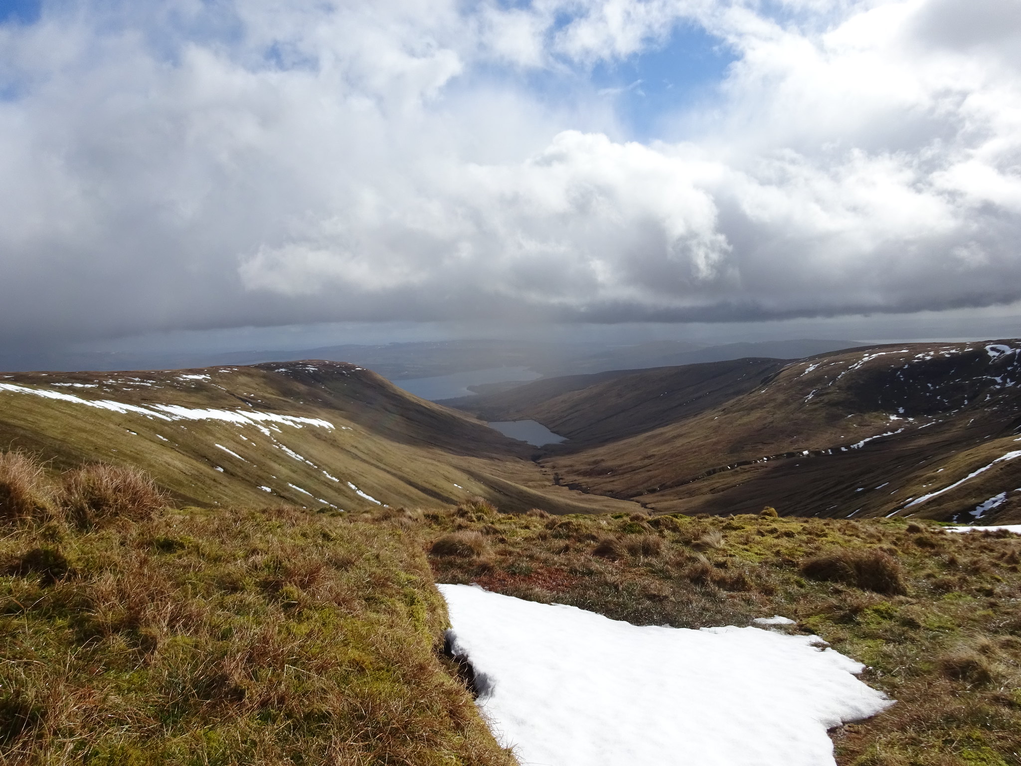
Our view at lunch time, Glen Finlas
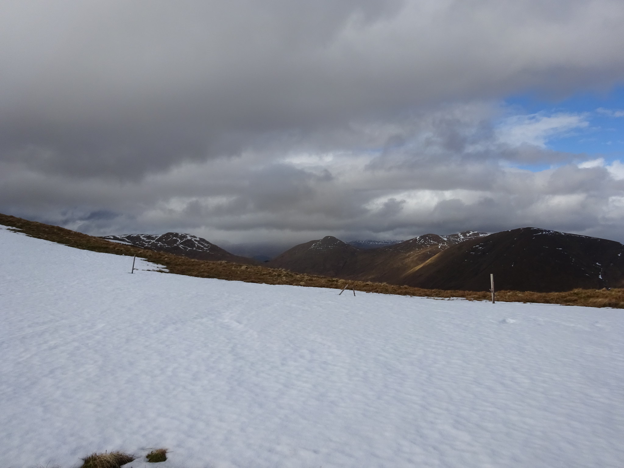
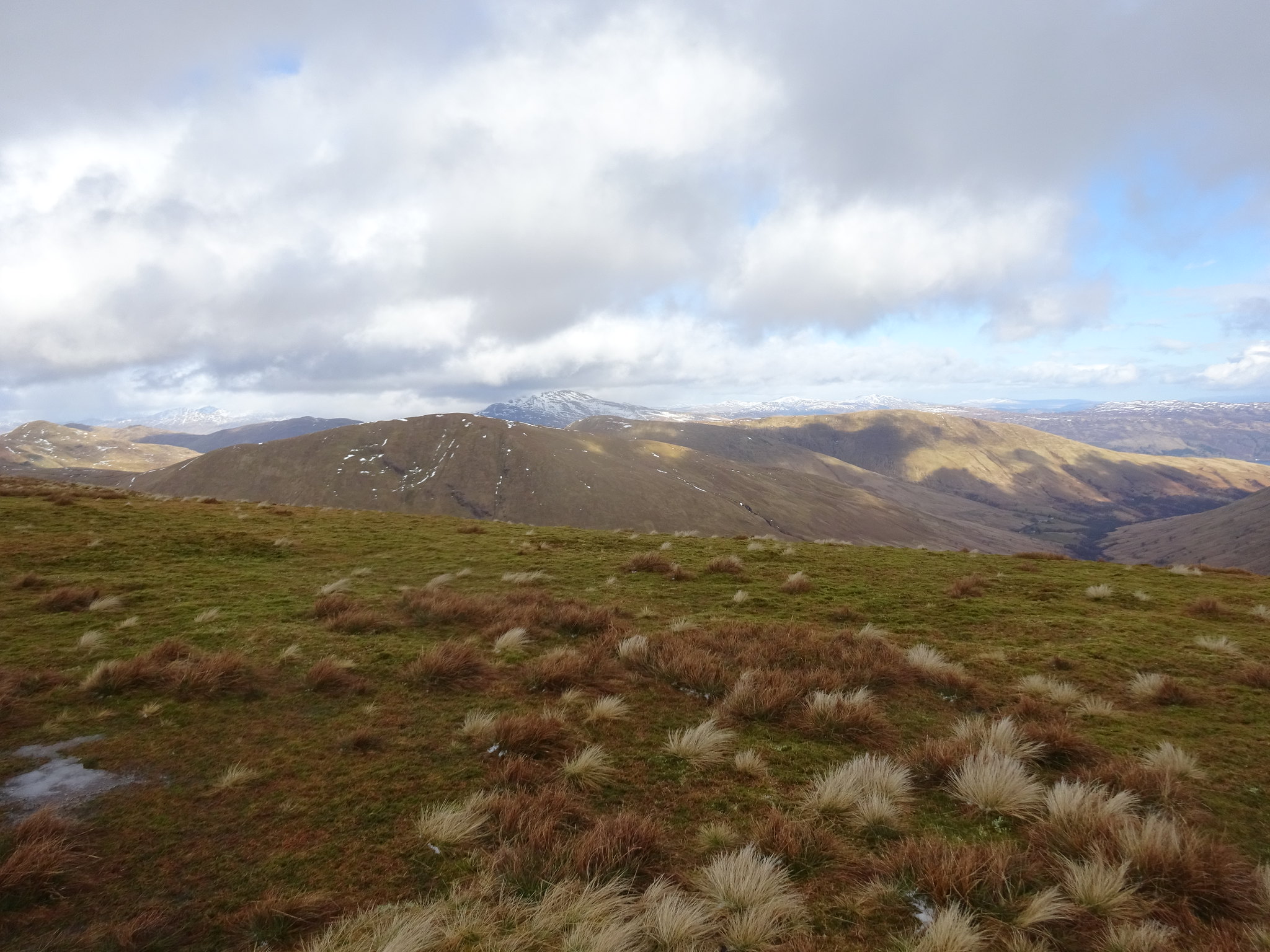
Looking across to where we should have been
Looking back
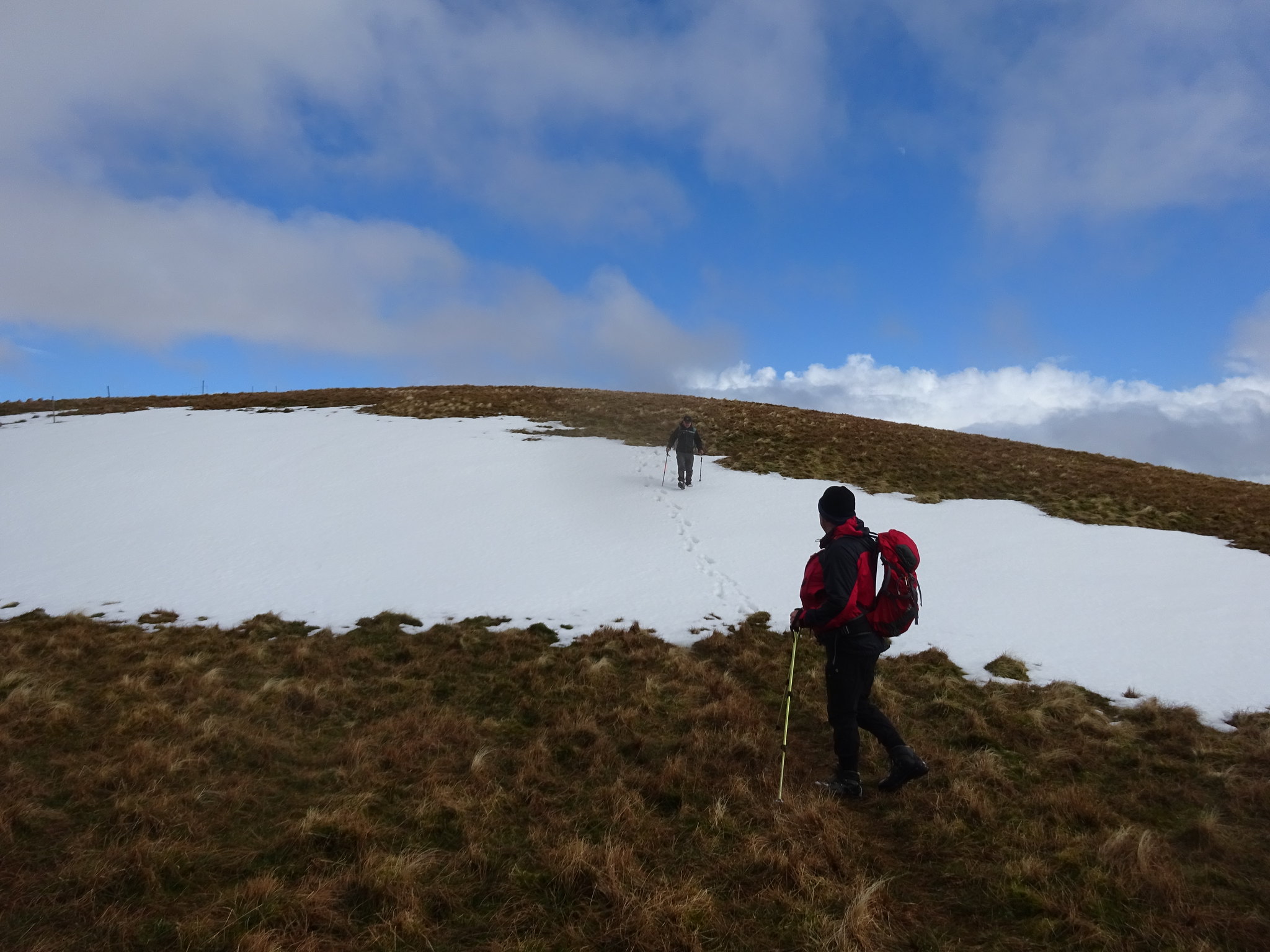
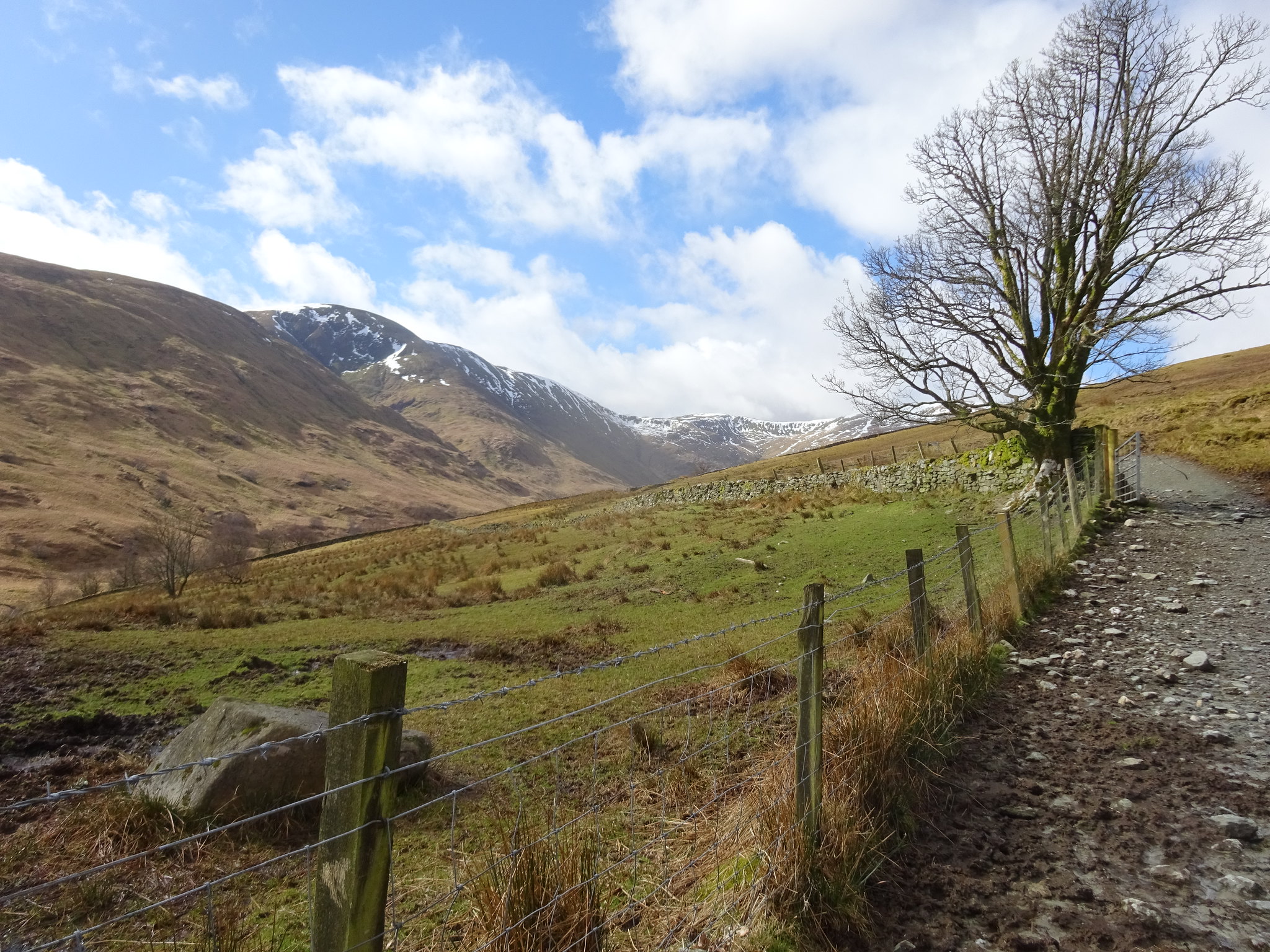
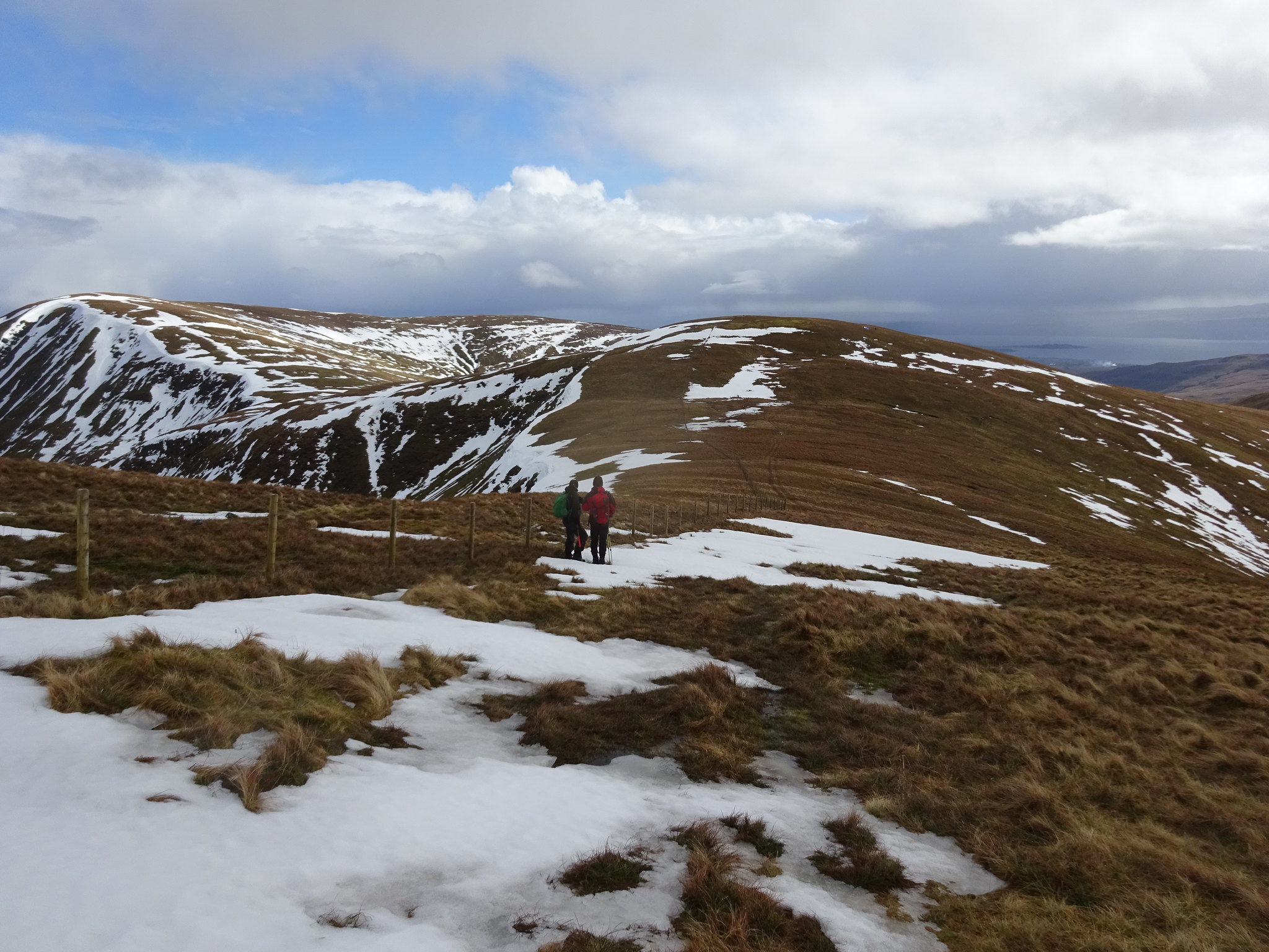
Plenty of snow higher up on the ridge
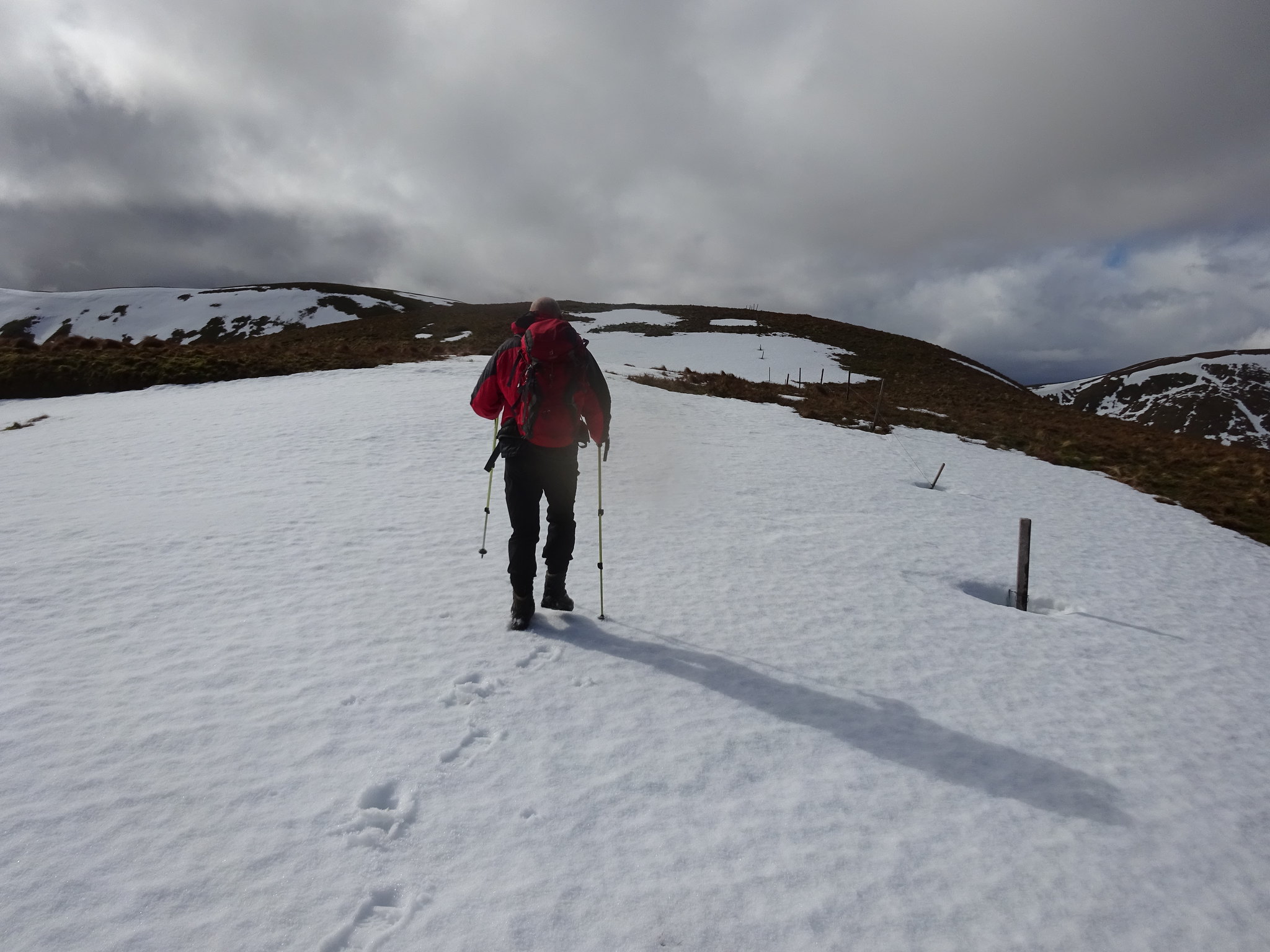
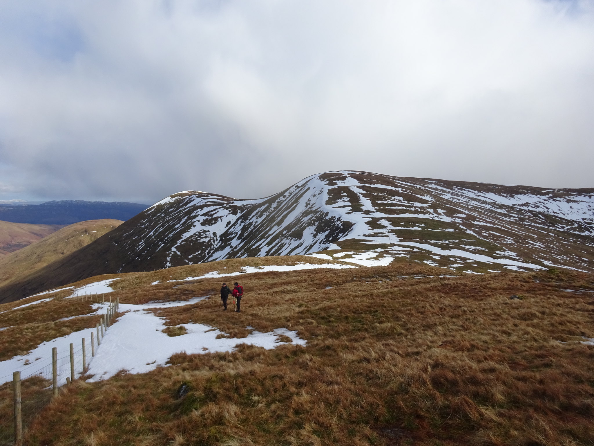
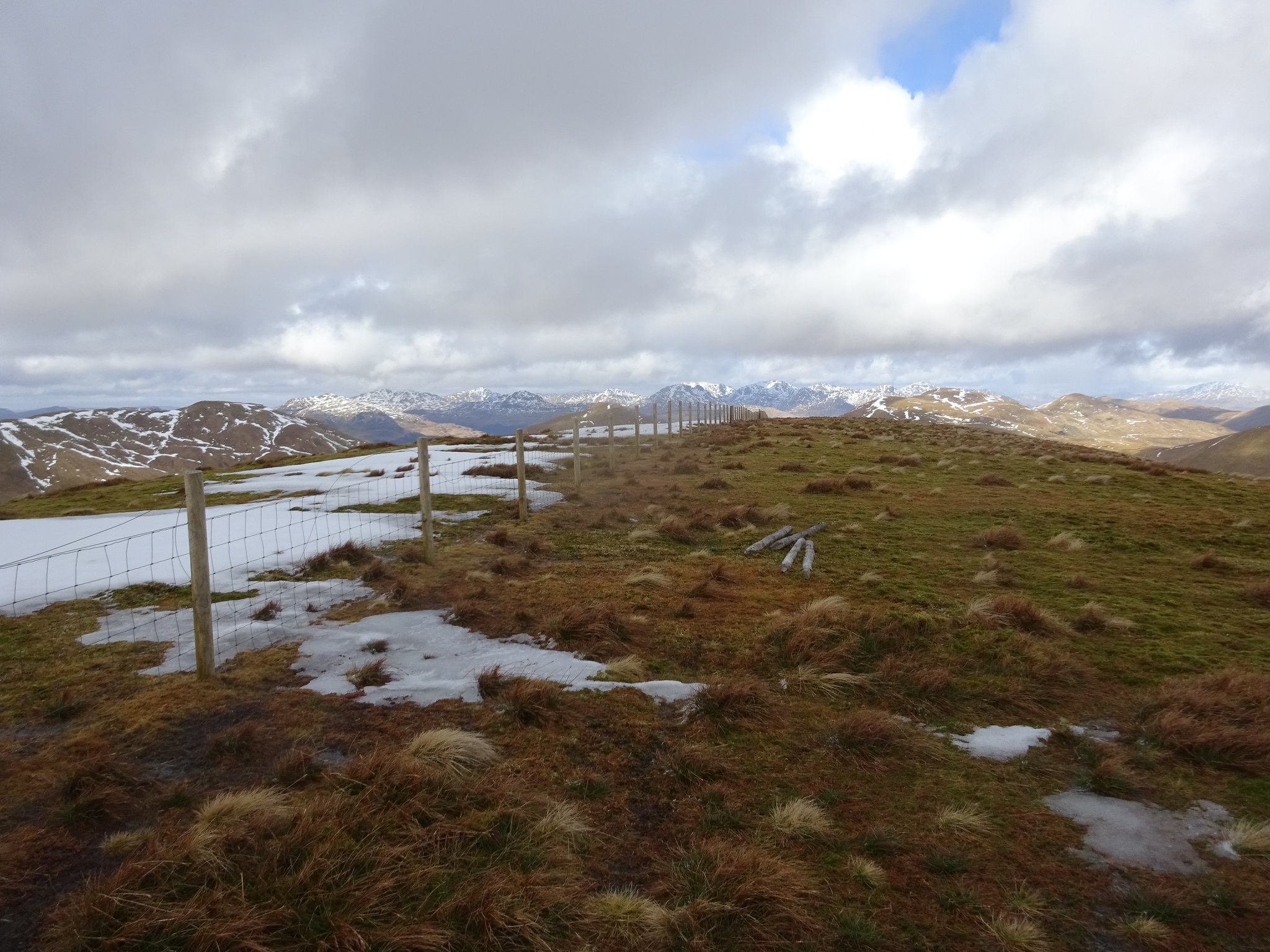
The way ahead
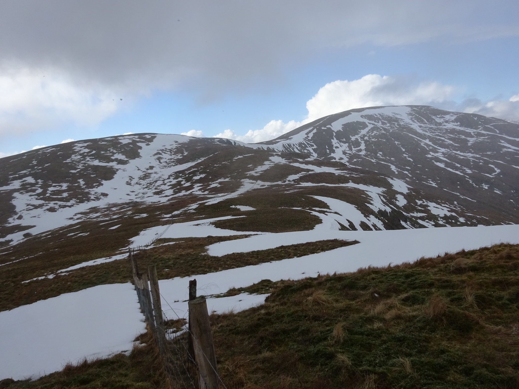
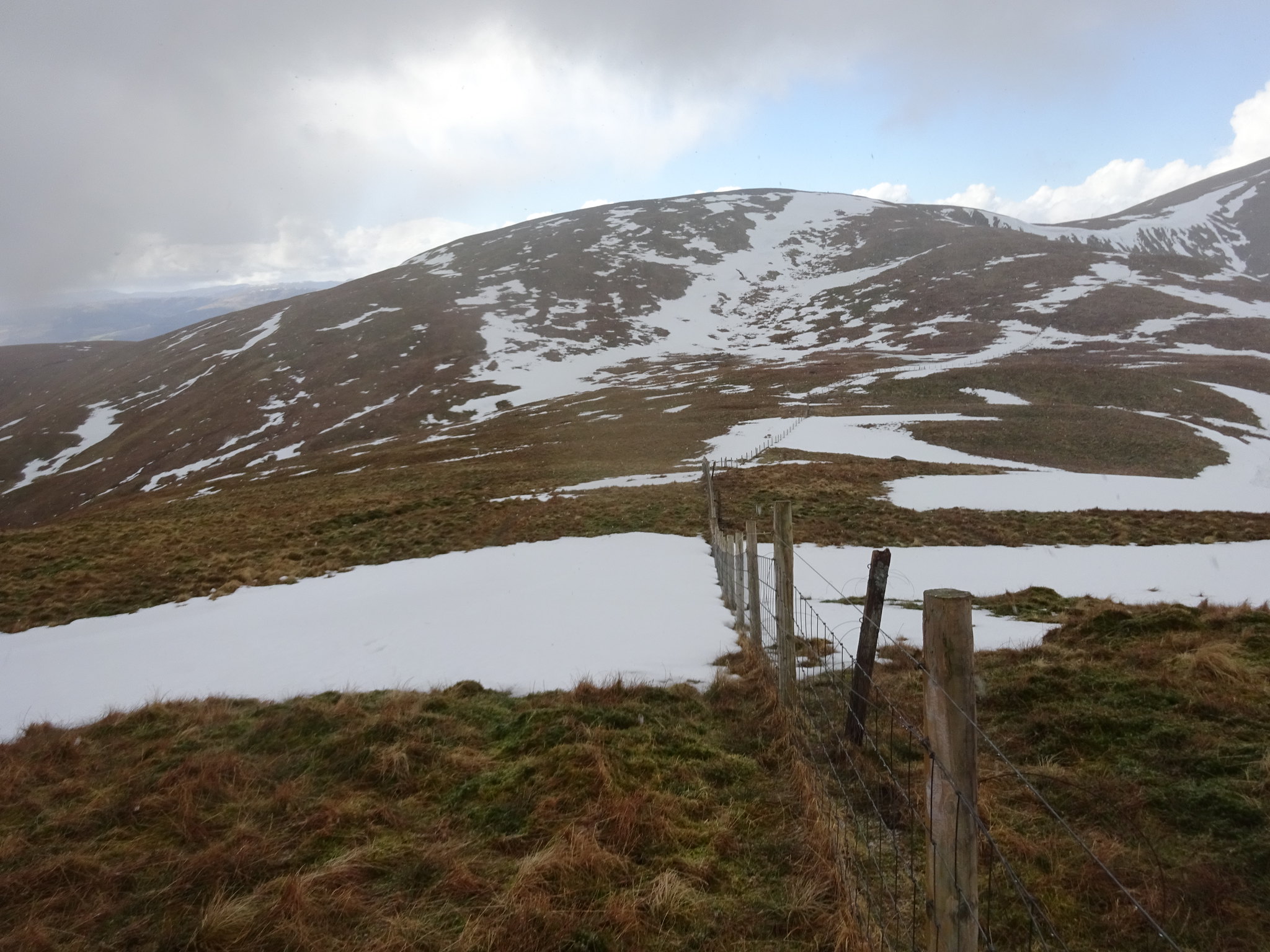
Follow the fence
George spotted a 5p?
Looking back
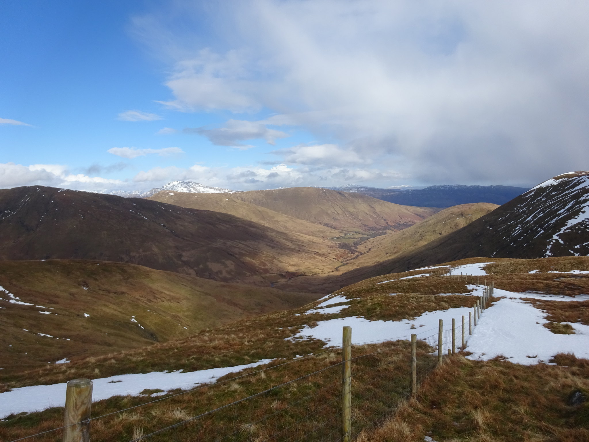
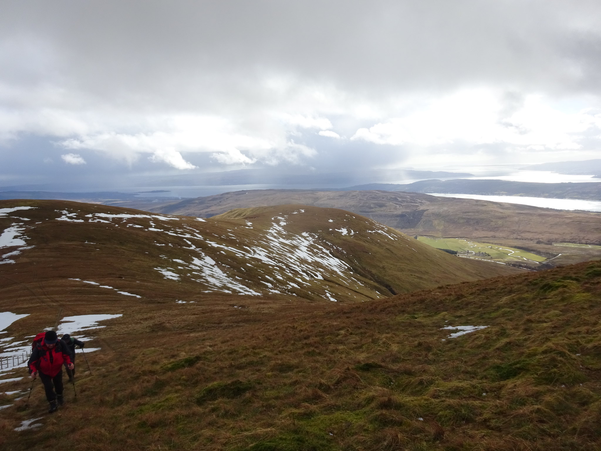
Looking down the glen to where we started from
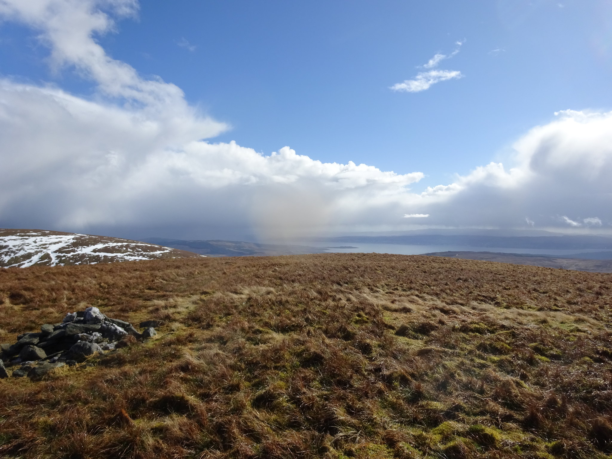
Beinn Tharsuinn summit, Loch Long in the distance
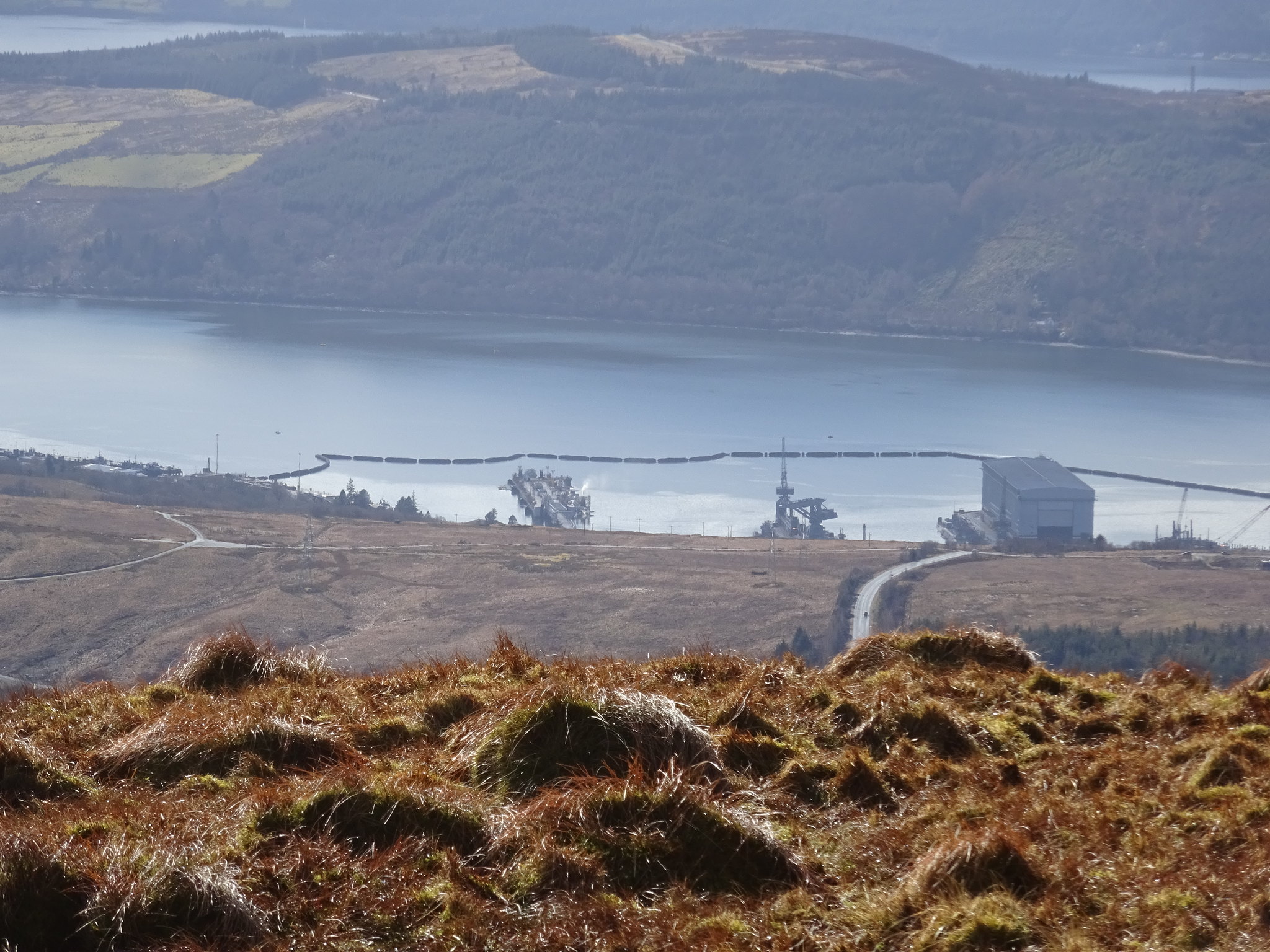
Looking down on Faslane
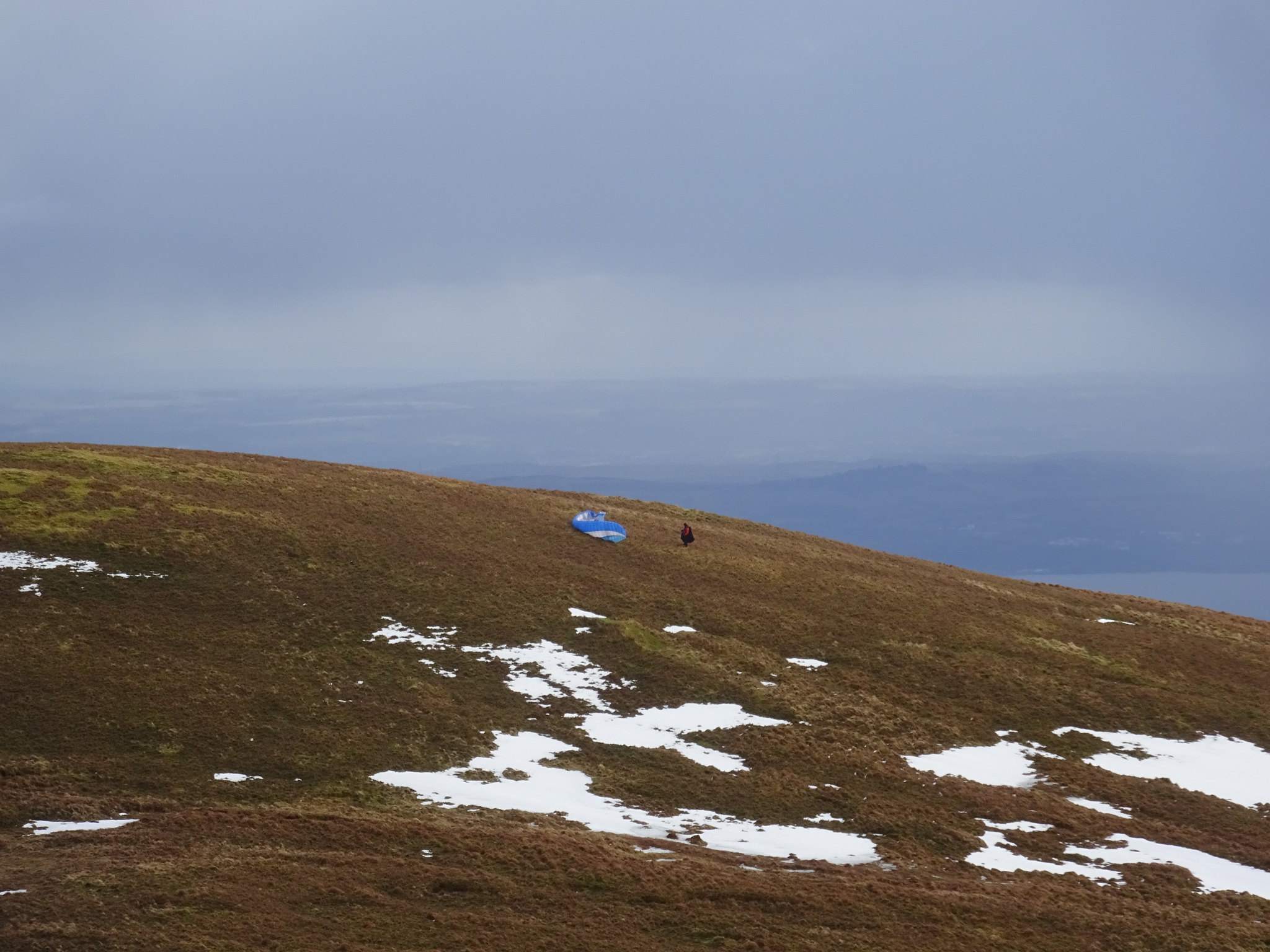
We spotted a guy who was setting up his paraglider, plenty of faffing around and we couldn't hang around as it was taking too long
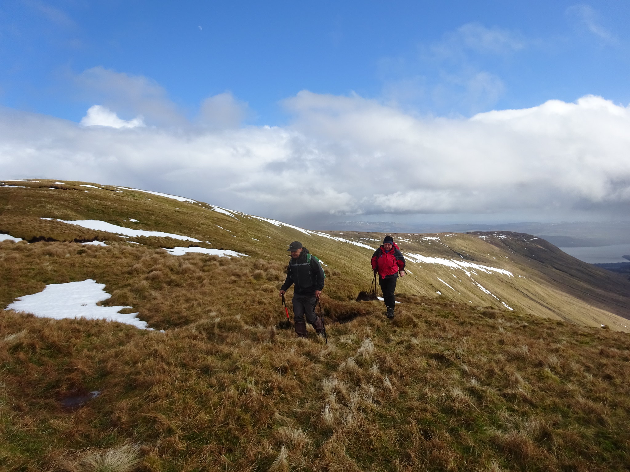
George and Parminder watching patiently
Final push up to the summit of Beinn Chaorach
One hard earned Graham
Following the fence north
On the descent now
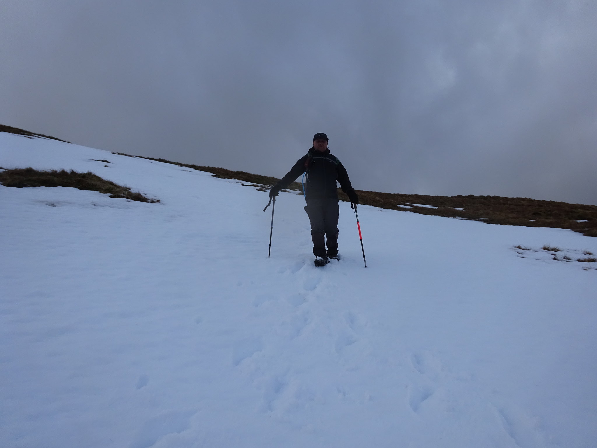
Parminder enjoying the snow, much easier on the descent
We were up there
Our descent route down the shoulder
What could have been a bit of a disaster turned out to be a really good leg stretch and hopefully another learning point - never assume the hill you are supposed to be climbing is the one that looks more interesting.
A huge thanks to George for driving and to Parminder for his company, we always have a good laugh.
