free to be able to rate and comment on reports (as well as access 1:25000 mapping).
A day trip to explore North Berwick was on the cards for us, a photogenic wee seaside town on the east coast with the added bonus of the Law to hike up, perfect.
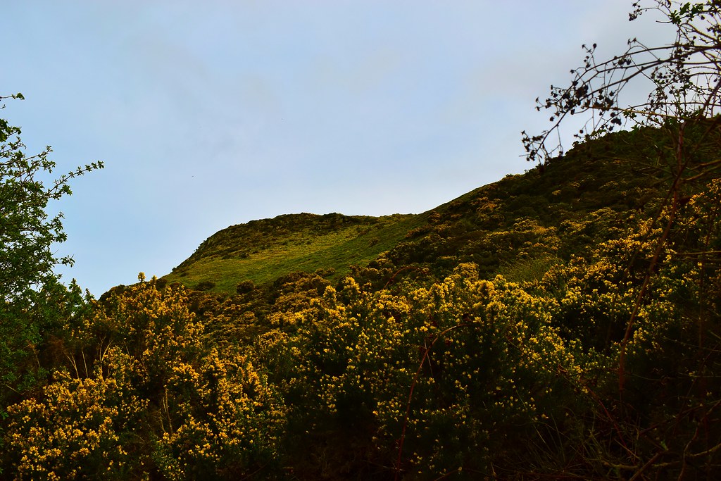
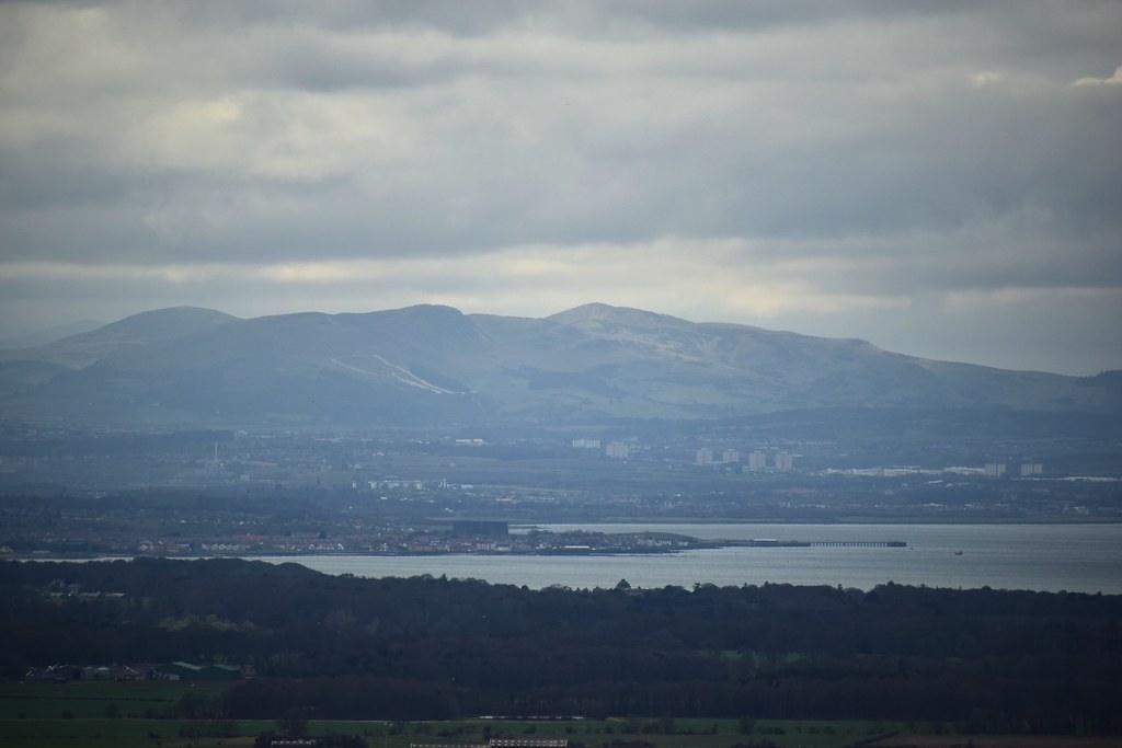
North Berwick Law first came to my attention a good few years ago when climbing Arthur's Seat, Meikle Bin and others from where it is very prominent lump at the end of the Firth of Forth.
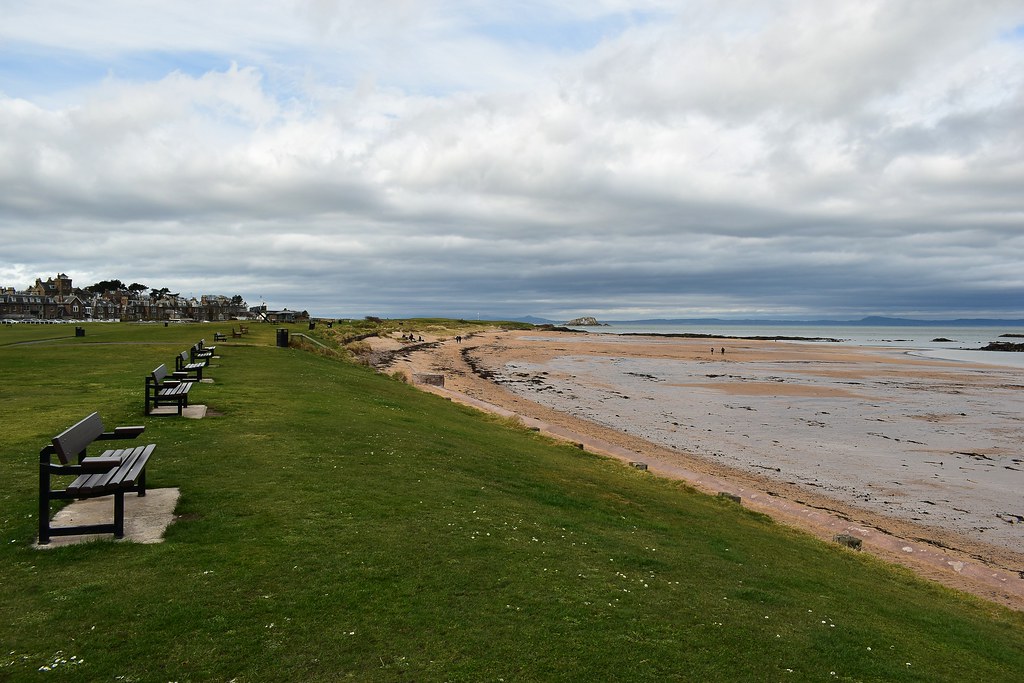
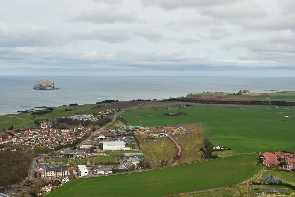
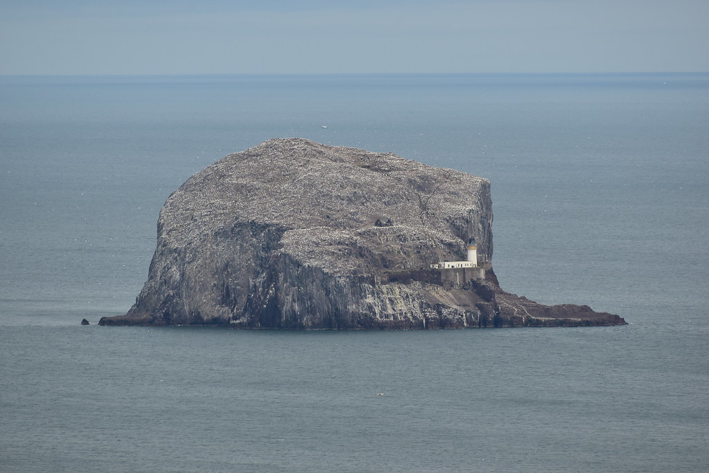
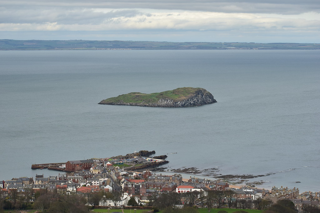
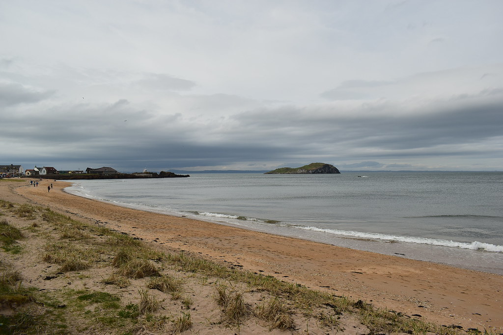
We parked down at the beach just along from the Seabird Centre with a nice view over to Bass Rock:
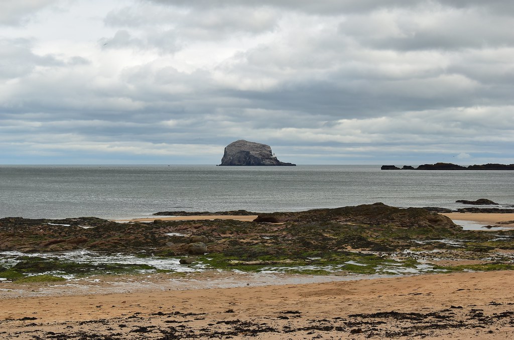 DSC_3784
 by
Chris Mac, on Flickr
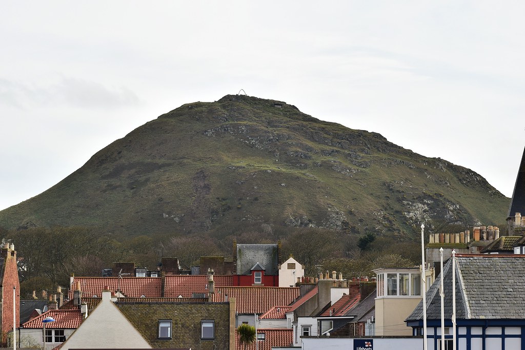
We decided to have a quick wander around town before returning to the car to gear up for the short hike. North Berwick Law is prominent a fair bit as you wander around:
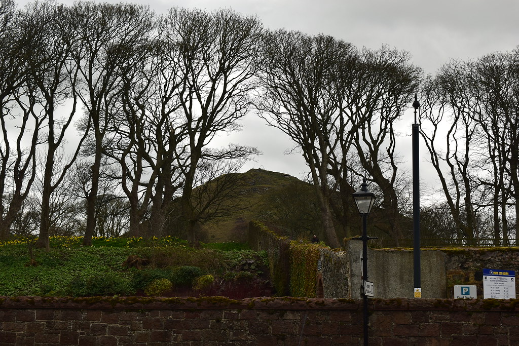 DSC_3786
 by
Chris Mac, on Flickr
A church:
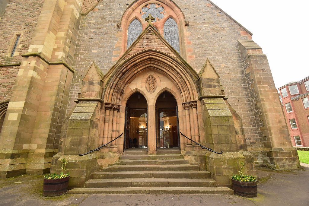 DSC_3801
 by
djchrismac, on Flickr
Another church:
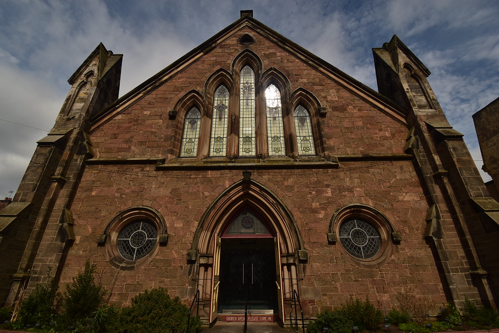 DSC_3807
 by
djchrismac, on Flickr
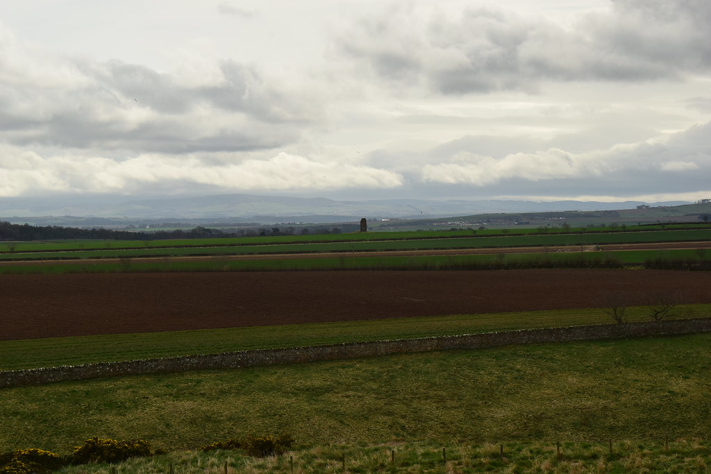
As it was lunch time we grabbed a snack and sat down the shore, enjoying the view north west to the Lomond Hills and Fife:
 DSC_3817
 by
Chris Mac, on Flickr
Wee Lamb Island:
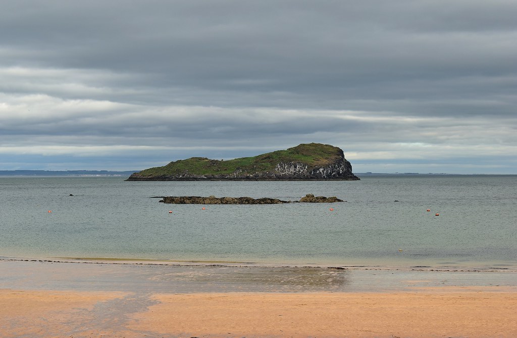 DSC_3819
 by
Chris Mac, on Flickr
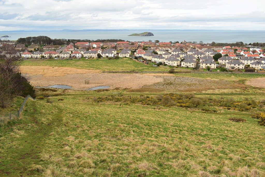
North Berwick:
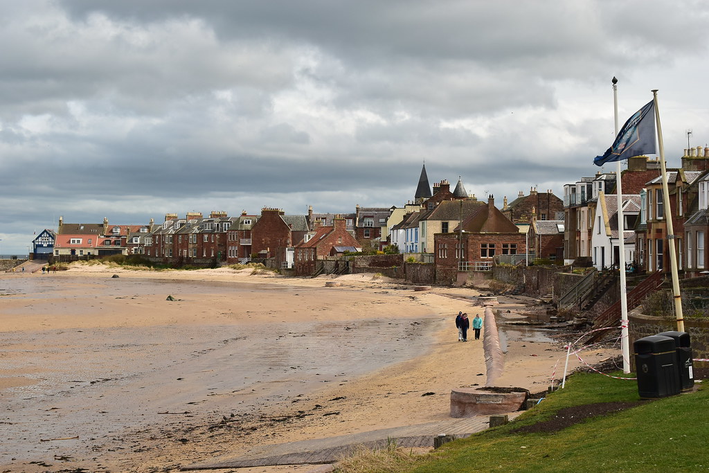 DSC_3824
 by
Chris Mac, on Flickr
We headed back to the car where I started recording the route, then it was just a short walk to the Lodge and grounds where we went through the entrance shown on the right:
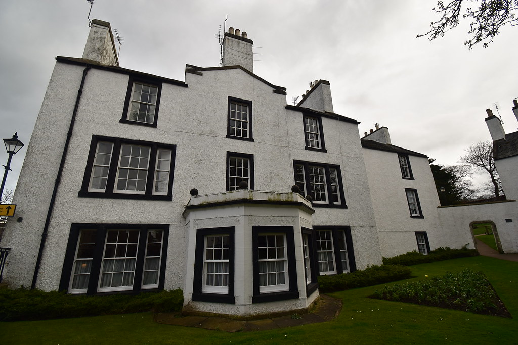 DSC_3832
 by
Chris Mac, on Flickr
We follow the route indicated on the sign:
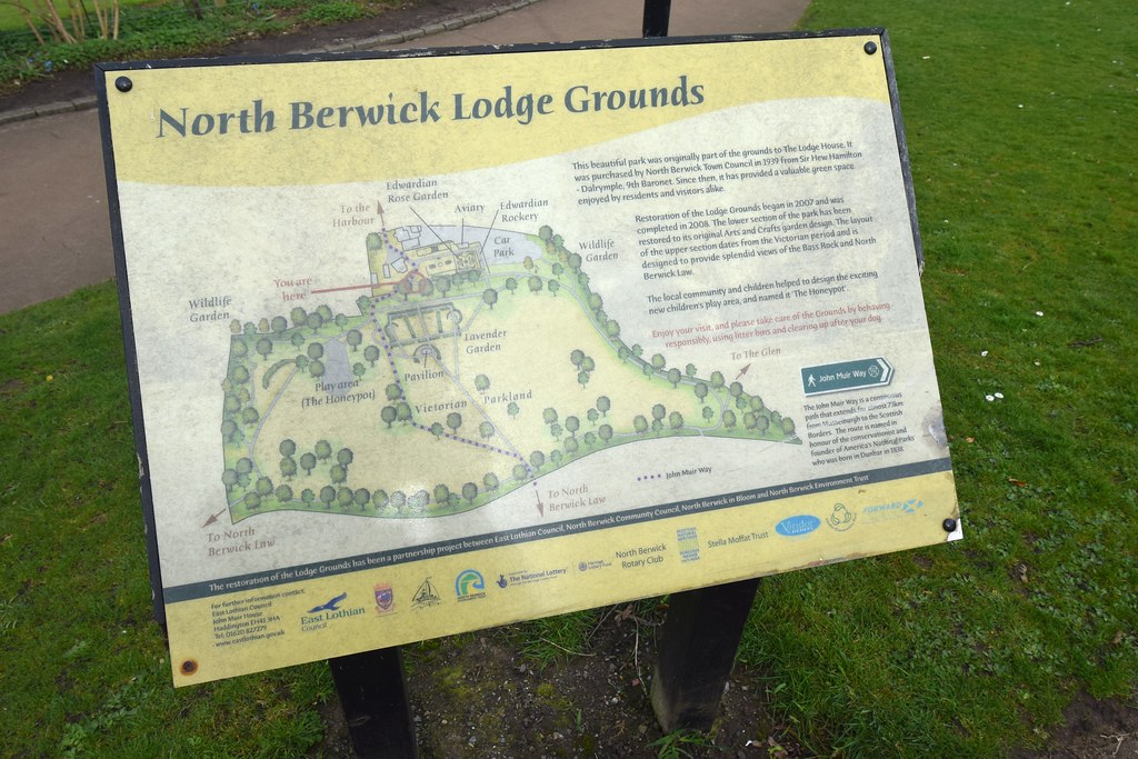 DSC_3835
 by
Chris Mac, on Flickr
Through the Lodge ground and past the standing stones...
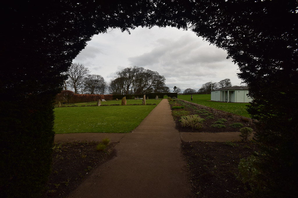 DSC_3838
 by
Chris Mac, on Flickr
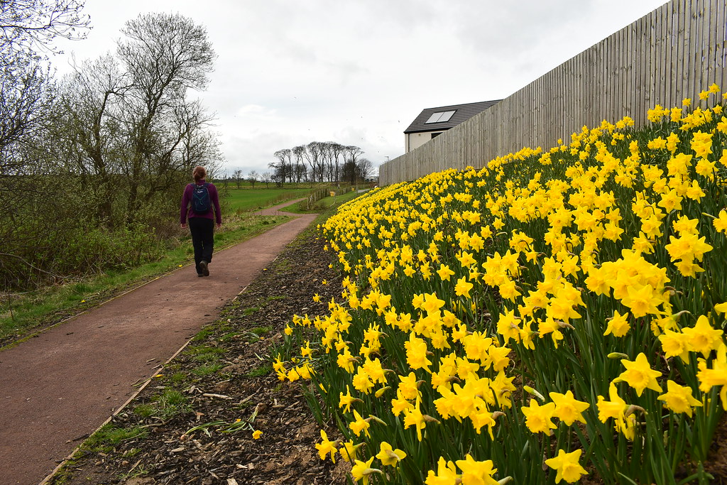
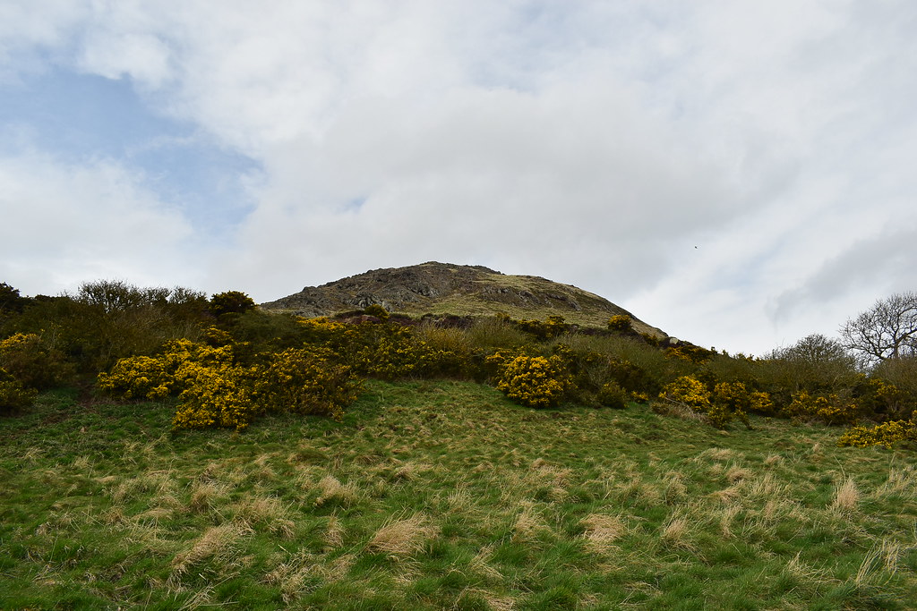
The Law looms ever closer as we approach it, crossing the road to the right where the daffodils are:
 DSC_3846
 by
Chris Mac, on Flickr
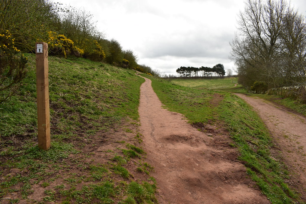
A small path leads us on through the trees:
 DSC_3848
 by
Chris Mac, on Flickr
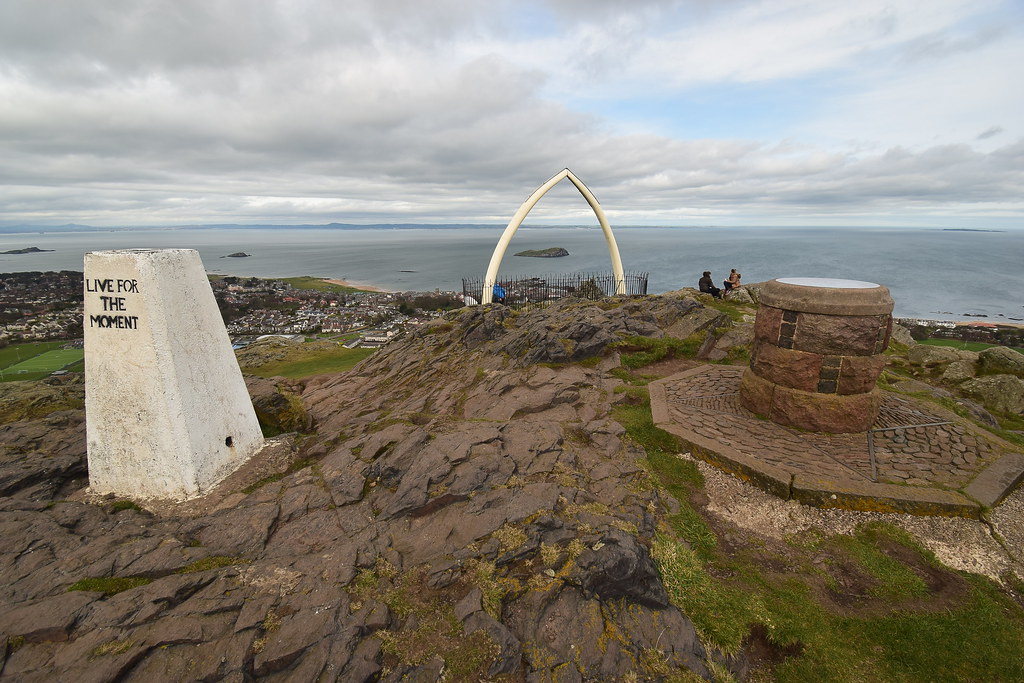
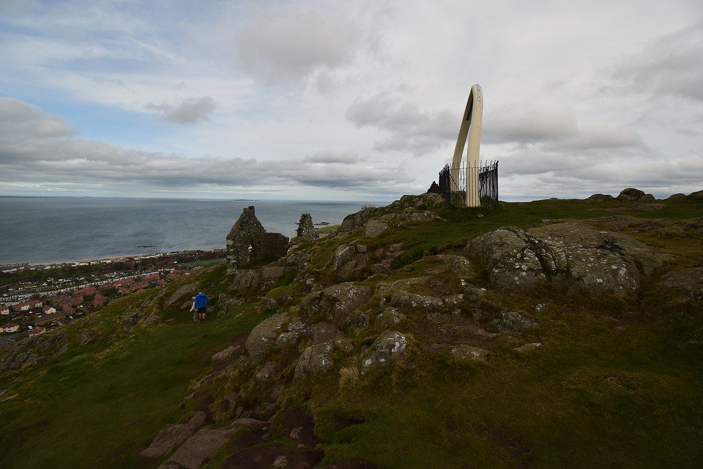
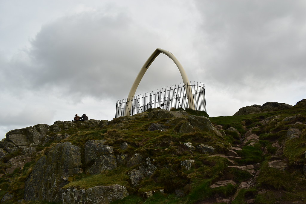
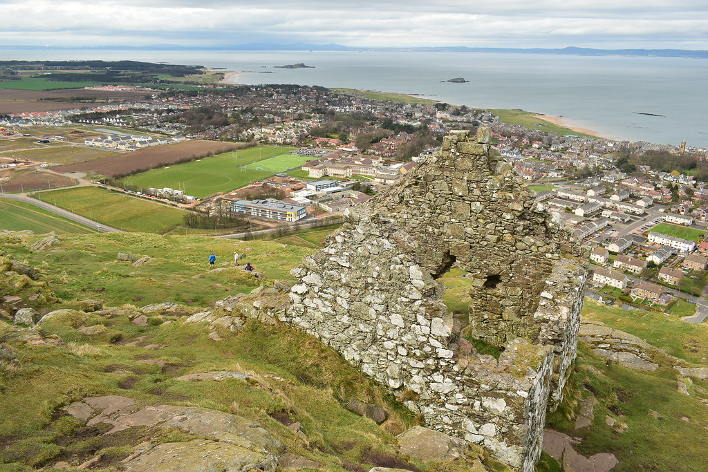
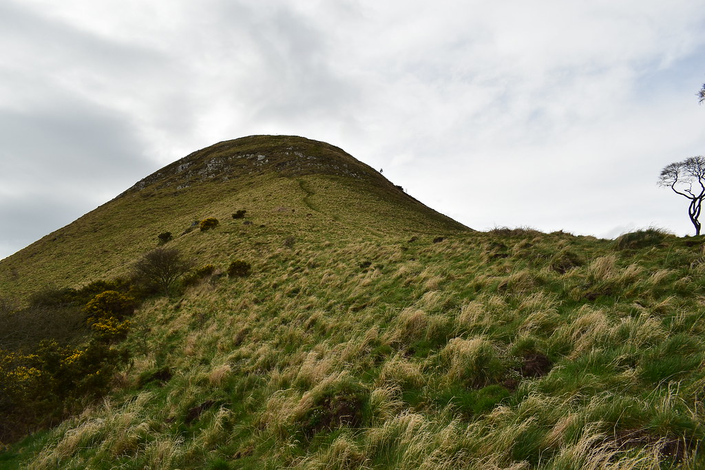
Atop the Law the whale bones, old war lookouts and people can be seen on this fairly busy wee hill:
 DSC_3855
 by
Chris Mac, on Flickr
We reach the play park and find a new housing estate has been built that isn't on the OS map...
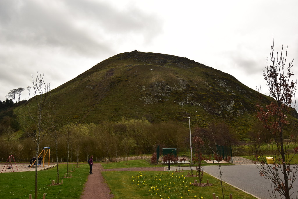 DSC_3859
 by
Chris Mac, on Flickr
Luckily a new path heads to the right towards Haddington Road and the Law car park:
 DSC_3862
 by
Chris Mac, on Flickr
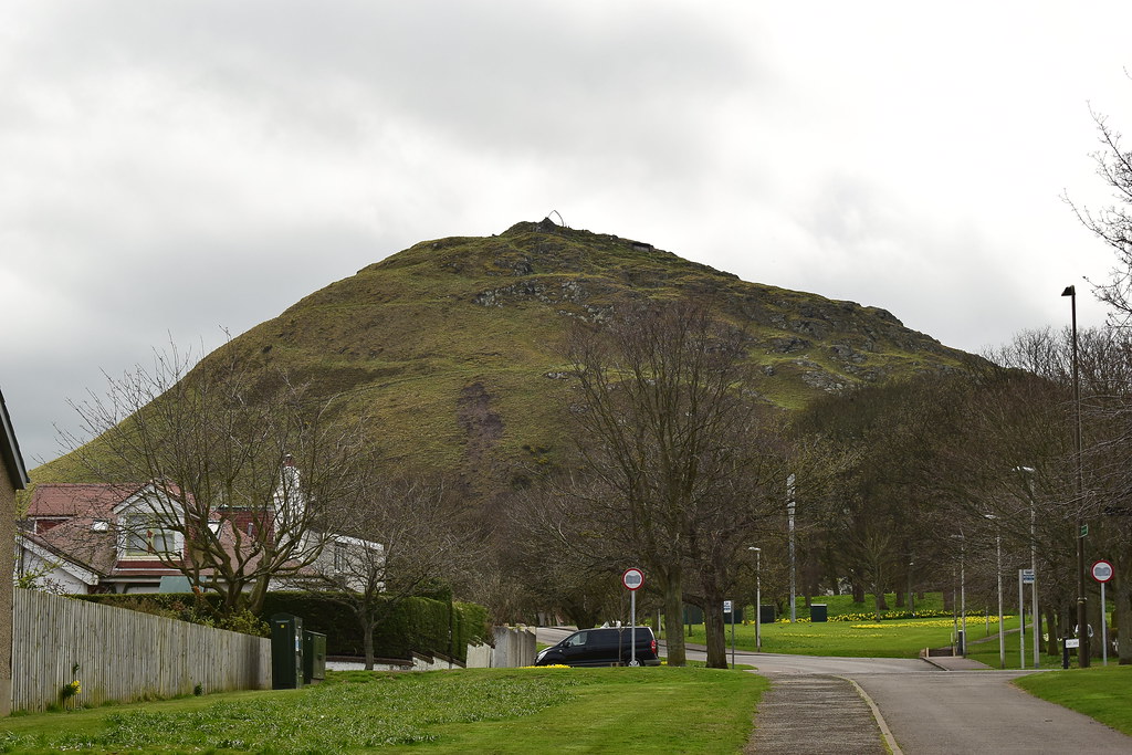
North Berwick Law's west side:
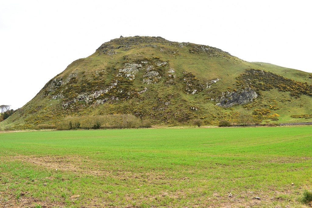 DSC_3868
 by
Chris Mac, on Flickr
Free advertising in the car park...
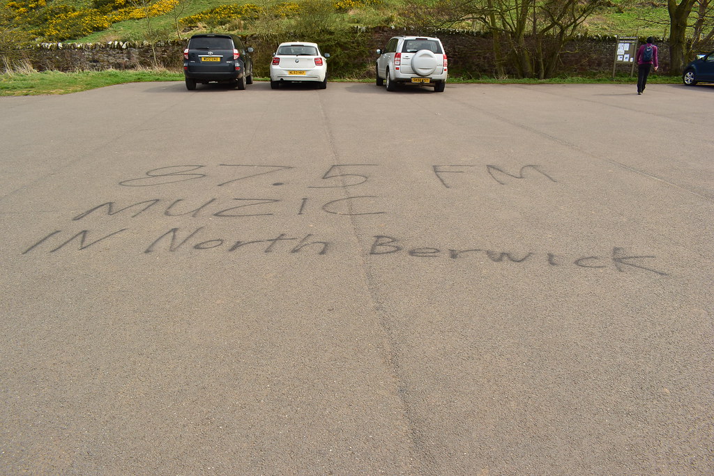 DSC_3869
 by
Chris Mac, on Flickr
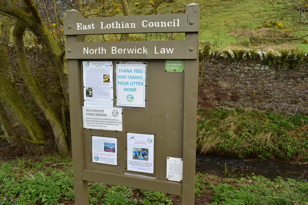
After passing a guy with a metal detector leaving the lodge ground we spot a sign on the board saying that the Law is an ancient monument and is protected by law so no metal detectors are to be used on it... it didn't stop them building lookouts during war time though.

 DSC_3872
 by
Chris Mac, on Flickr
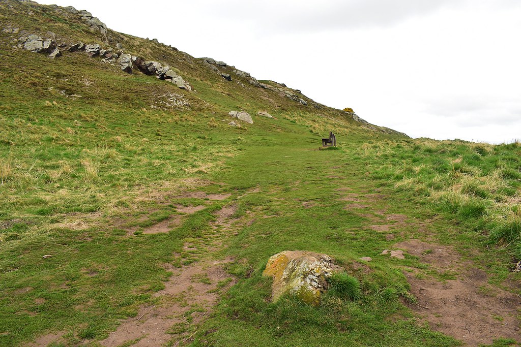
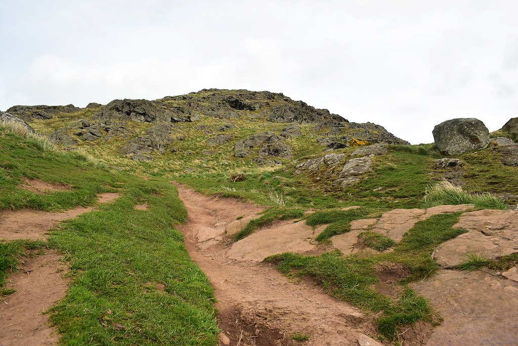
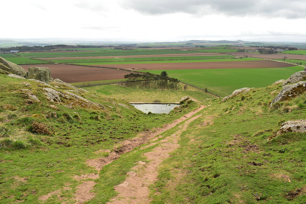
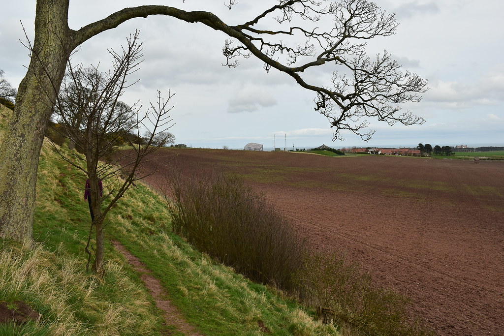
Around the south side of the hill is the angle of least ascent where the path takes us:
 DSC_3873
 by
Chris Mac, on Flickr
Head left and up the hill:
 DSC_3874
 by
Chris Mac, on Flickr
We pass the first of 2 benches:
 DSC_3888
 by
Chris Mac, on Flickr
There is a decent main path to the second bench:
 DSC_3891
 by
Chris Mac, on Flickr
Bench 2 and the view north west:
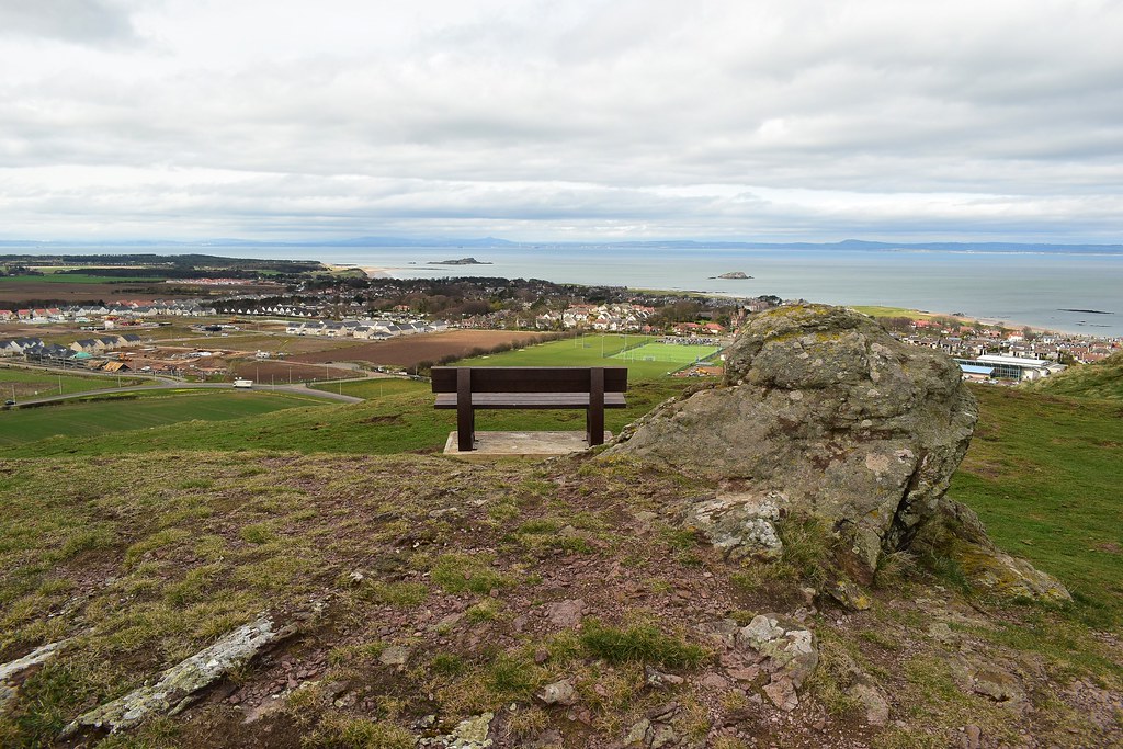 DSC_3892
 by
Chris Mac, on Flickr
Looking south to the Lammermuir Hills and Traprain Law:
 DSC_3895
 by
Chris Mac, on Flickr
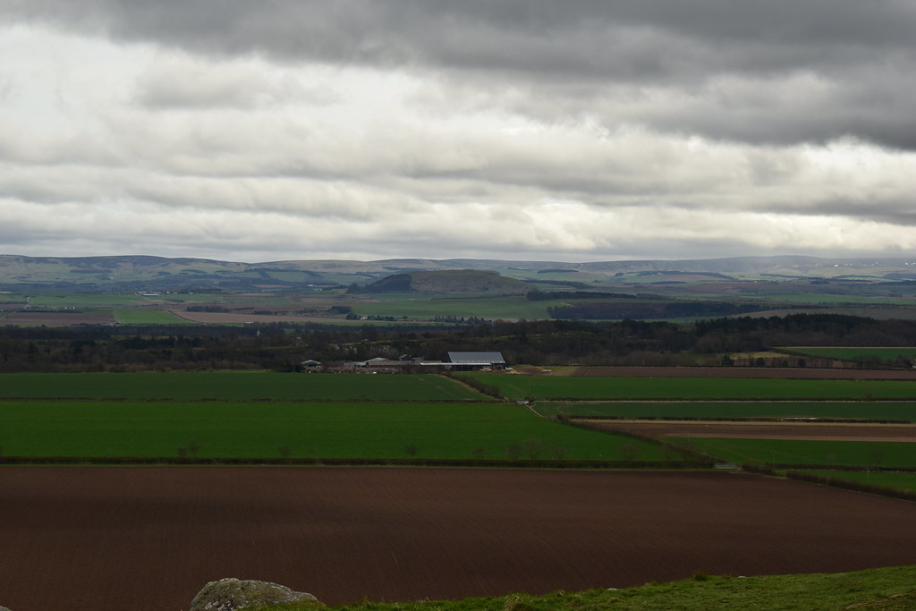
South west are the Garleton Hills:
 DSC_3898
 by
Chris Mac, on Flickr
Due east are the Pentlands and Arthur's Seat:
 DSC_3900
 by
Chris Mac, on Flickr
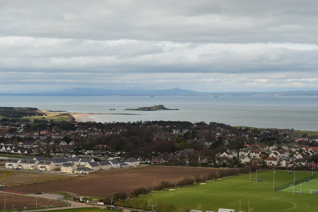
North Berwick, Fidra, the Forth and distant Fife:
 DSC_3903
 by
Chris Mac, on Flickr
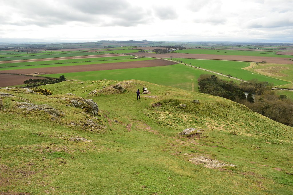
After a quick break to enjoy the view there are several routes up the Law:
 DSC_3906
 by
Chris Mac, on Flickr
I took a few more photos and Y had already gone ahead so I expected to find her near the top...
 DSC_3912
 by
Chris Mac, on Flickr
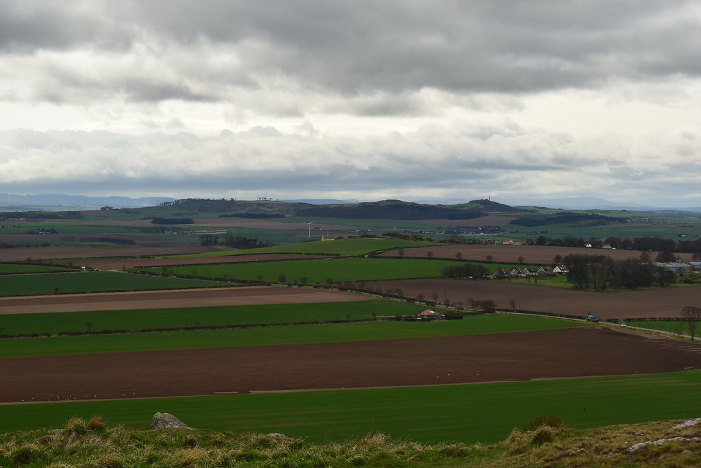
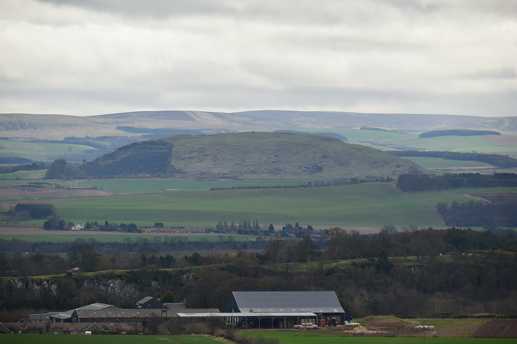
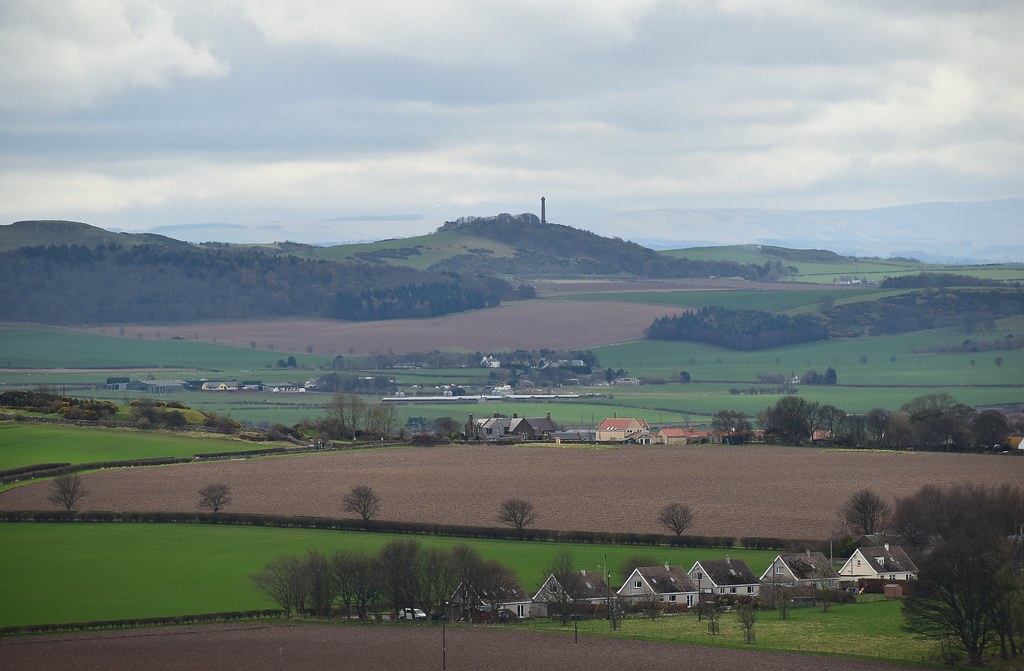
Garleton Hills and the Hopetoun Monument:
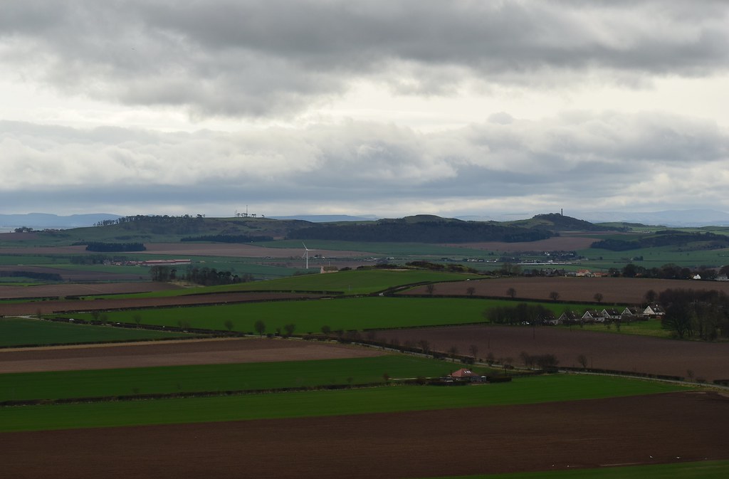 DSC_3916
 by
Chris Mac, on Flickr
We read about the monument on returning home, one to visit if we're in the area or bagging the local Tumps:
 DSC_3928
 by
Chris Mac, on Flickr
Pentlands, no view from there for now...
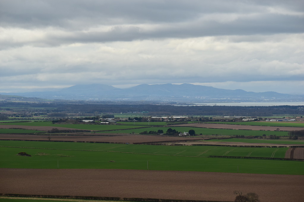 DSC_3934
 by
Chris Mac, on Flickr
Edinburgh and the Castle in the distance:
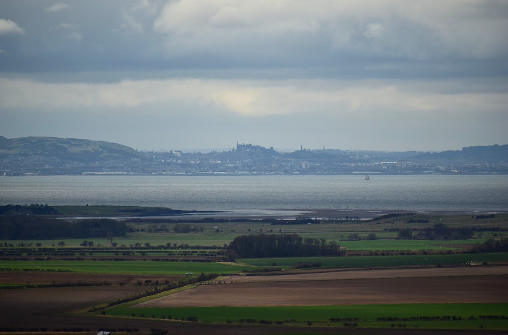 DSC_3950
 by
Chris Mac, on Flickr
Forth bridges:
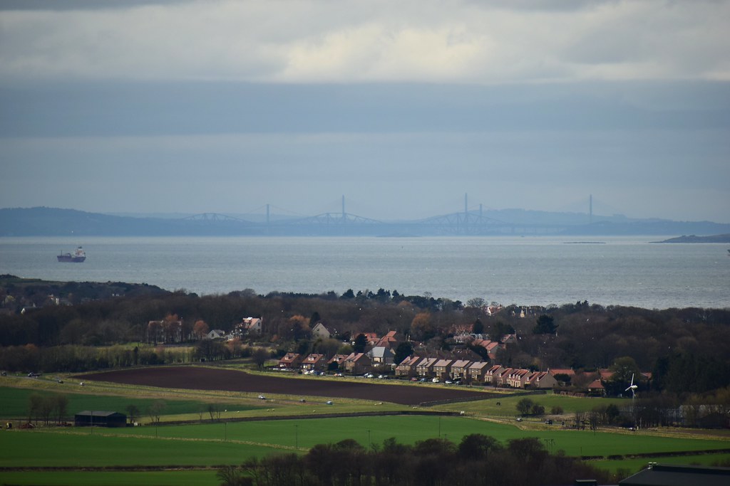 DSC_3963
 by
Chris Mac, on Flickr
Knockhill:
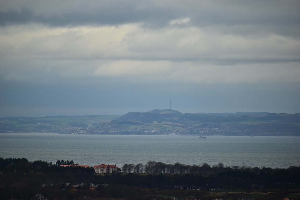 DSC_3972
 by
Chris Mac, on Flickr
Fidra with West and East Lomond:
 DSC_3985
 by
Chris Mac, on Flickr
Time to catch up, the mountain goat quickly bounds up the remainder of the Law towards the summit...
 DSC_4010
 by
Chris Mac, on Flickr
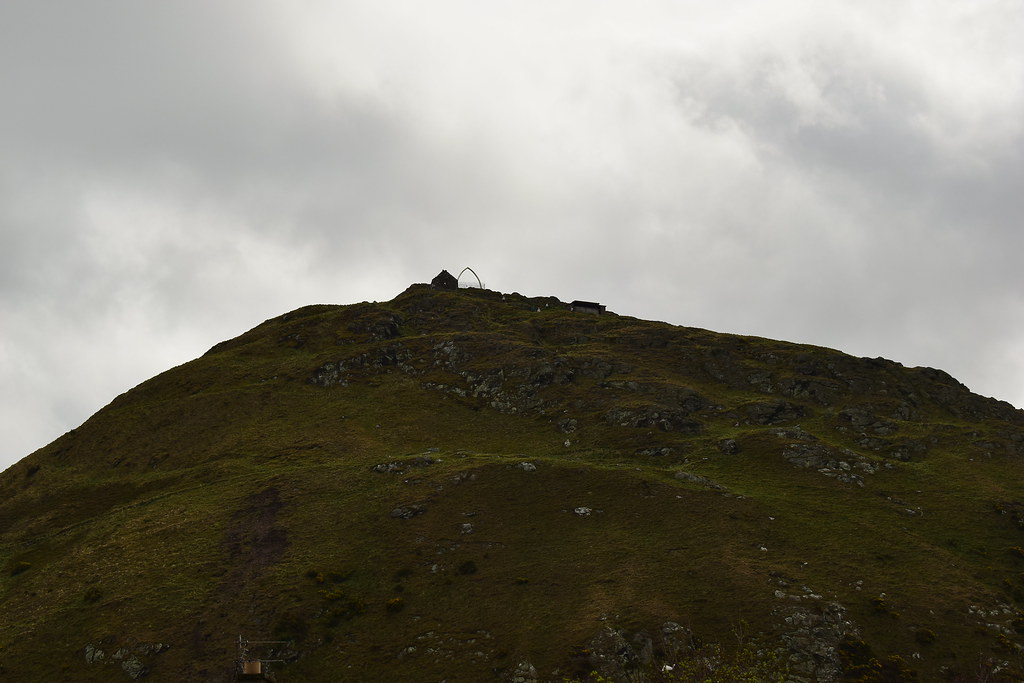
Lookout:
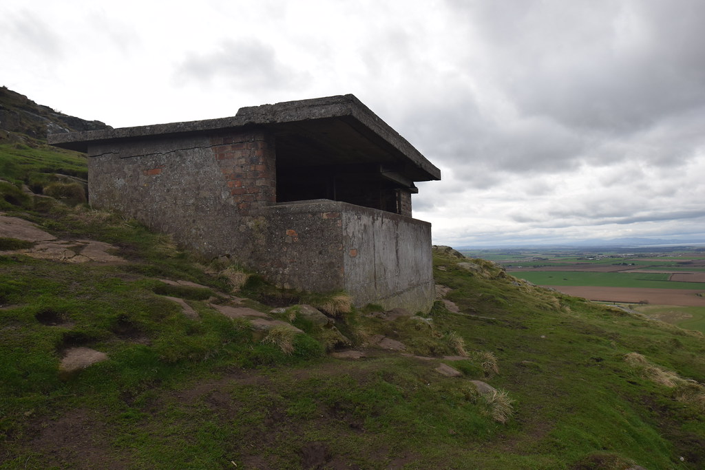 DSC_4014
 by
Chris Mac, on Flickr
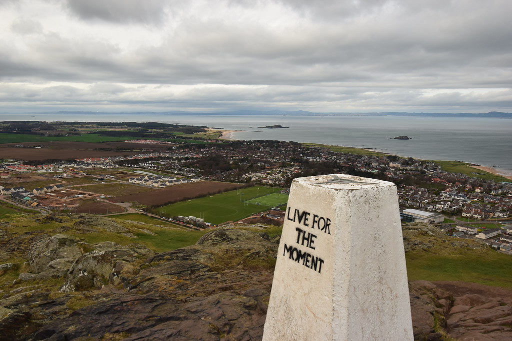
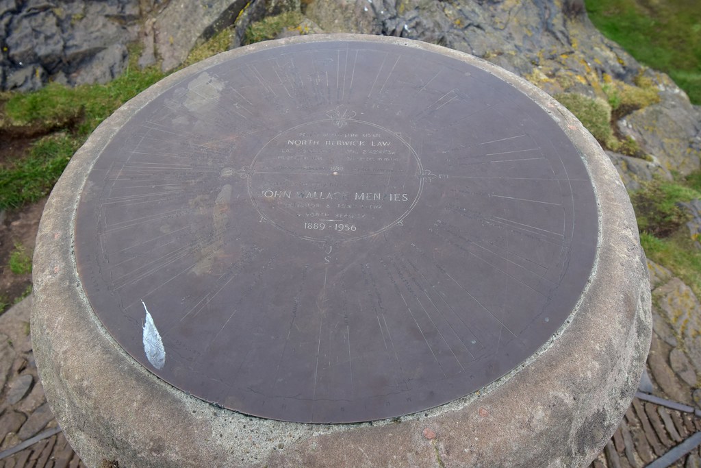
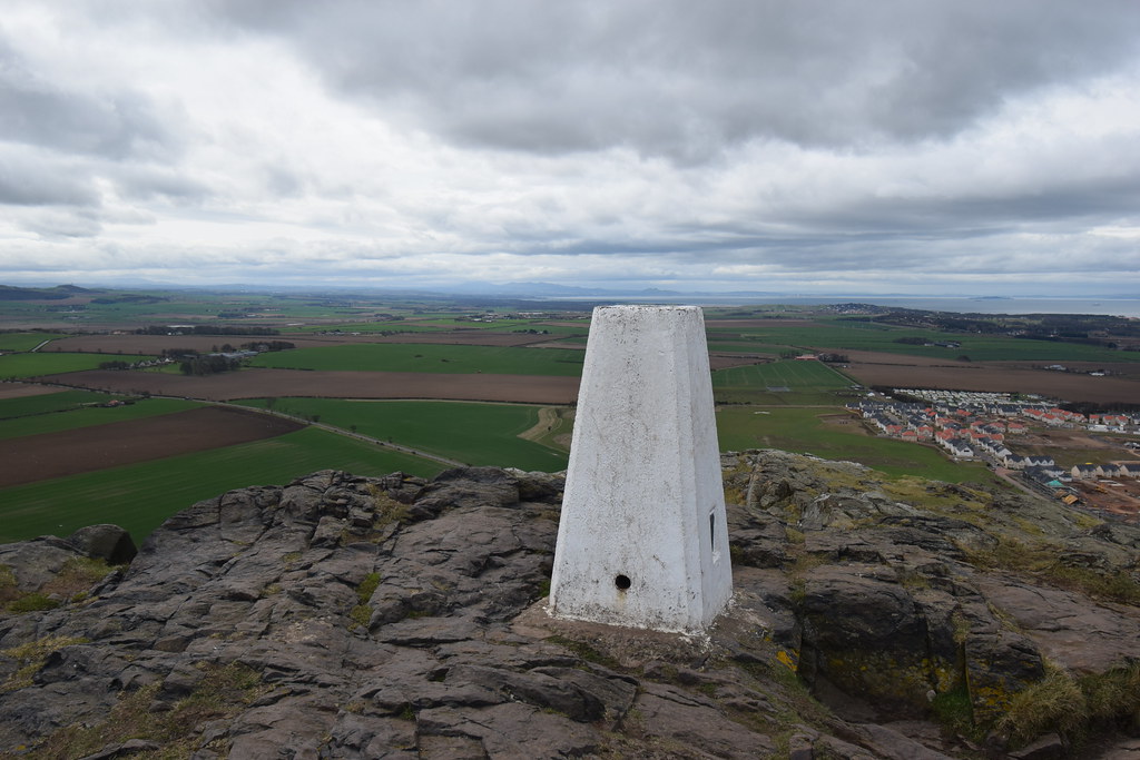
I quickly reach the summit rock with trig point and view indicator...
 DSC_4023
 by
Chris Mac, on Flickr
Erm... where is Y? I didn't pass her! How could she be lost on one of the smallest Marilyns?!

 DSC_4026
 by
Chris Mac, on Flickr
I take a few more photos expecting her to arrive any time...
 DSC_4031
 by
Chris Mac, on Flickr
Whale bones:
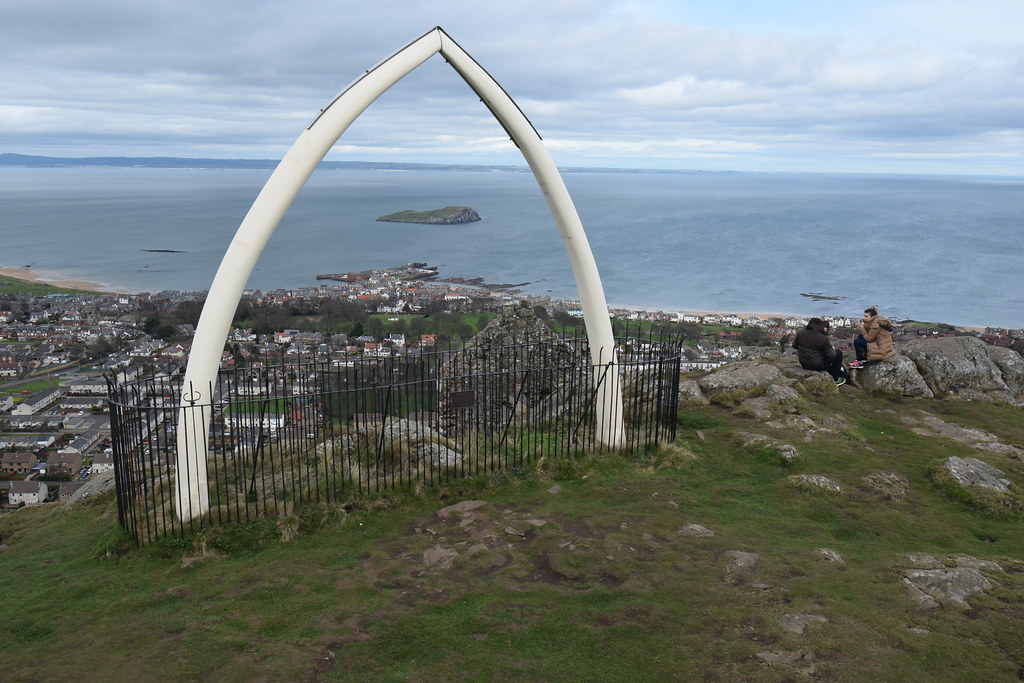 DSC_4033
 by
Chris Mac, on Flickr
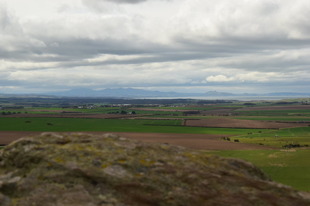
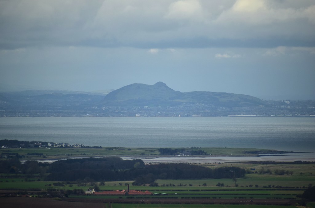
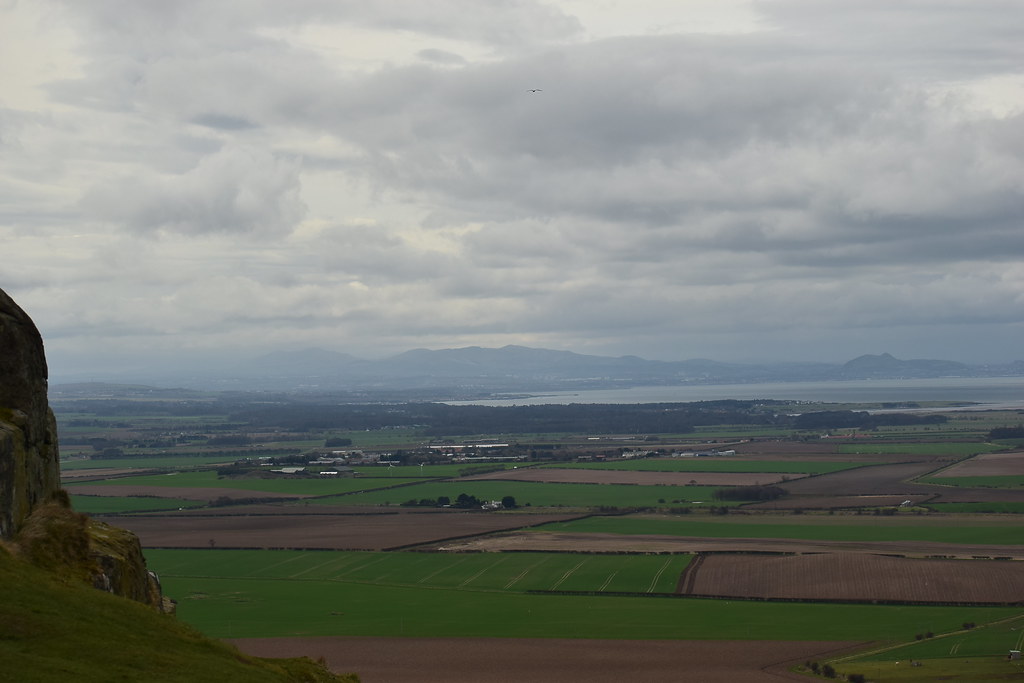
The view west, not very clear over at the Pentlands so it's a good thing we came further east today:
 DSC_4034
 by
Chris Mac, on Flickr
Still no sign of her, I decide to head back to find her:
 DSC_4038
 by
Chris Mac, on Flickr
 DSC_4047
 by
Chris Mac, on Flickr
There she is!
 DSC_4052
 by
Chris Mac, on Flickr
After catching up it turns out she had followed the easy path around to a stepper section of the hill then had to turn back, that's the last time I let her out of my sight no matter how small the hill!

We enjoy the summit view together, to the east is Bass Rock and Tantallon Castle:
 DSC_4059
 by
Chris Mac, on Flickr
Whale Bone sign:
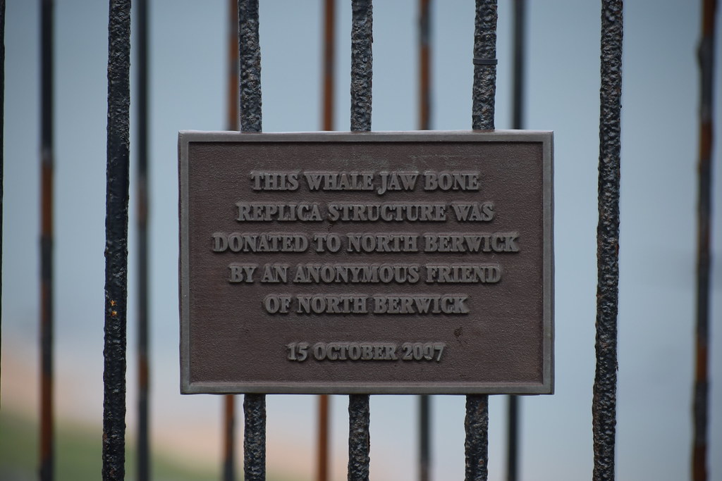 DSC_4072
 by
Chris Mac, on Flickr
Bass Rock:
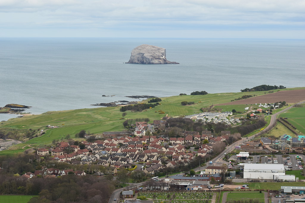 DSC_4079
 by
Chris Mac, on Flickr
Ganet central:
 DSC_4084
 by
Chris Mac, on Flickr
Tantallon Castle:
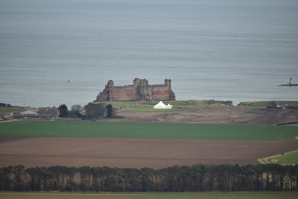 DSC_4090
 by
Chris Mac, on Flickr
Dunbar, the Works and Torness Power Station, I wonder how John Muir would feel about these ruining the view of his home town?
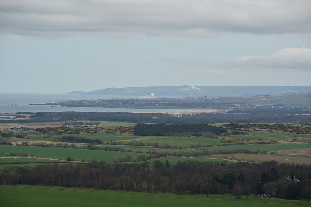 DSC_4093
 by
Chris Mac, on Flickr
Trig pillar, Pentlands and Edinburgh:
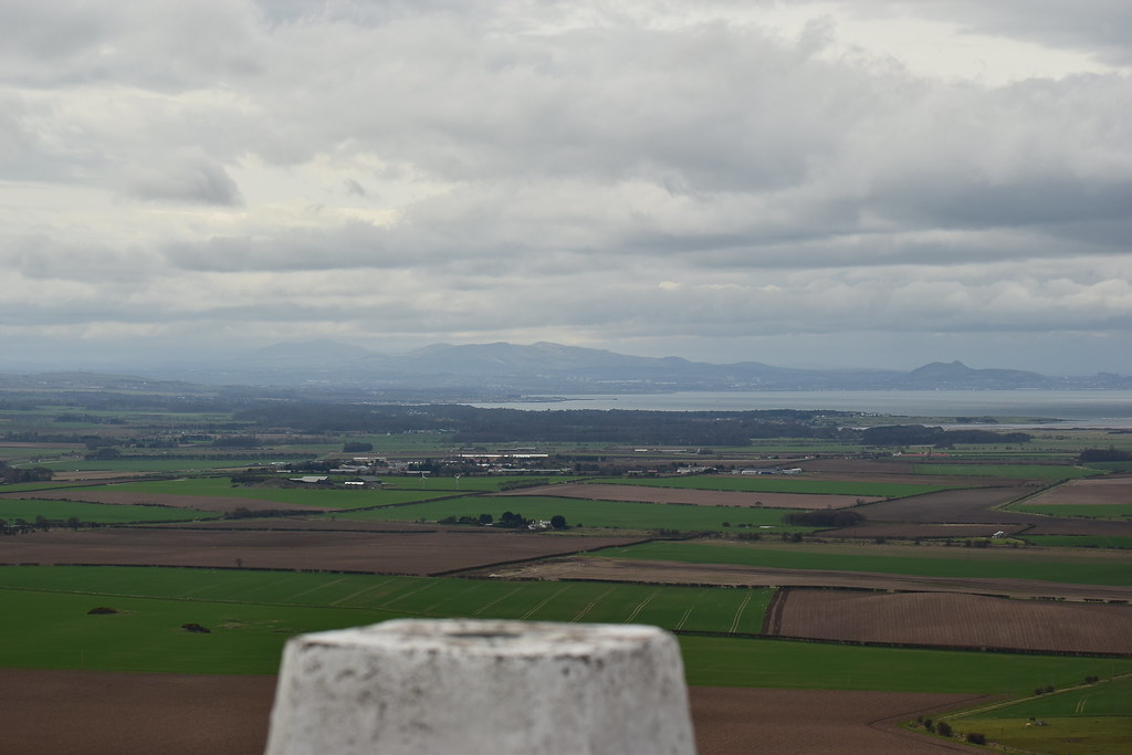 DSC_4100
 by
Chris Mac, on Flickr
Conditions have cleared up now over at the Pentlands and Allermuir Hill:
 DSC_4108
 by
Chris Mac, on Flickr
Arthur's Seat and Edinburgh:
 DSC_4110
 by
Chris Mac, on Flickr
Looking down on Craigleith:
 DSC_4112
 by
Chris Mac, on Flickr
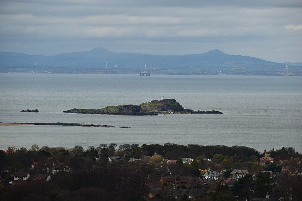
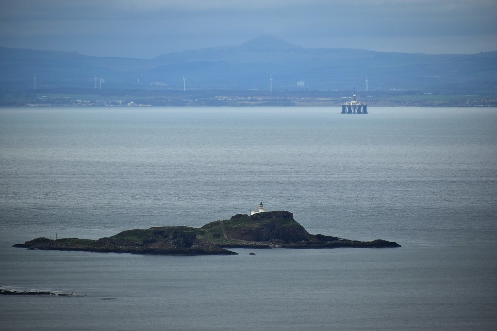
Fidra and a rig:
 DSC_4122
 by
Chris Mac, on Flickr
We decide it's time to head back down, should be a quick and easy descent...
 DSC_4131
 by
Chris Mac, on Flickr
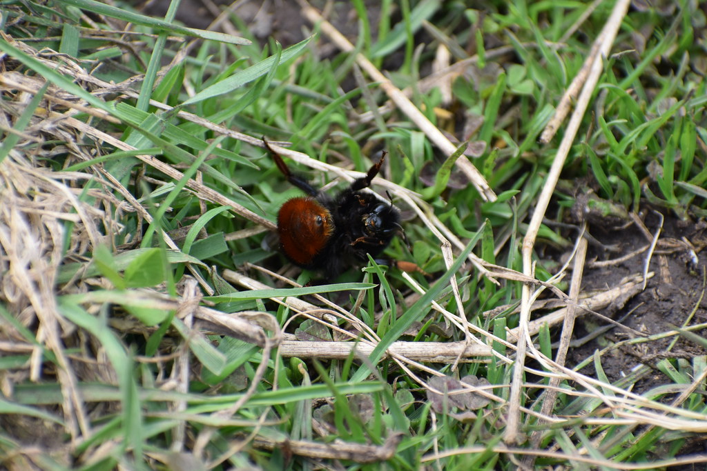
I pass a large bee, one i've never seen before (now identified as a Red-tailed Bumblebee!) which has great colours but is lying on it's back, sting pulsating. Lack of a barb in the abdomen indicated it was dying after stinging someone, at least it wasn't us!
 DSC_4139
 by
Chris Mac, on Flickr
We head to the bench for a seat and to soak in the view again:
 DSC_4142
 by
Chris Mac, on Flickr
Satisfied that we've seen enough we continue past the infinity pool...
 DSC_4149
 by
Chris Mac, on Flickr
What looks like the Dovecot on the map a bit further south:
 DSC_4153
 by
Chris Mac, on Flickr
Wanting to do a loop instead of returning the same way, we divert left near the bottom of the hill to follow the WH route around the other side of the hill:
 DSC_4156
 by
Chris Mac, on Flickr
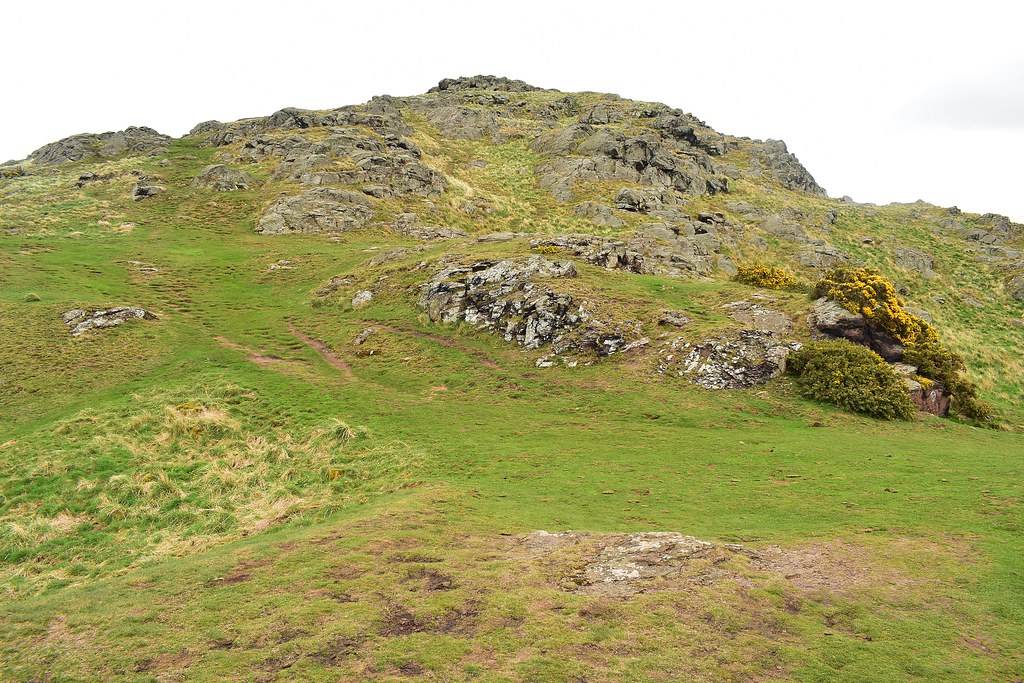
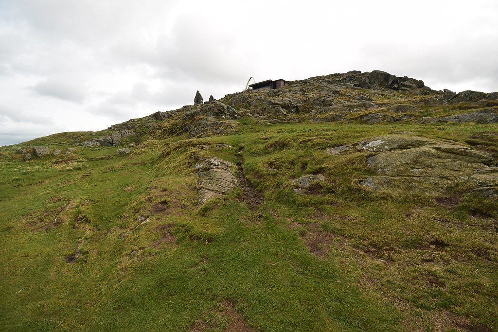
It's a tiny steep hill but well worth a visitL
 DSC_4158
 by
Chris Mac, on Flickr
Skirting aroud the base of the hill is a path to follow heading towards Bass Rock:
 DSC_4164
 by
Chris Mac, on Flickr
It looks like there is another path up the steep east face, I didn't realise we could also have descended that way although Y would probably not be so keen:
 DSC_4167
 by
Chris Mac, on Flickr
The path soon levels out and we head through the gate:
 DSC_4169
 by
Chris Mac, on Flickr
With the ponies visible ahead we turn left and follow the faint path straight down:
 DSC_4176
 by
Chris Mac, on Flickr
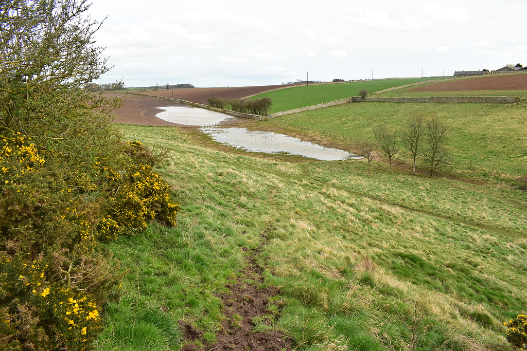
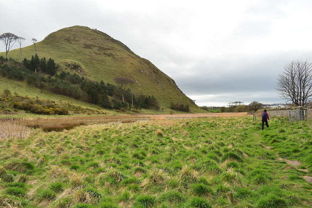
At the bottom we turn right and go through a gate, now we're in the boggy marsh section and moans are being sent in my direction!
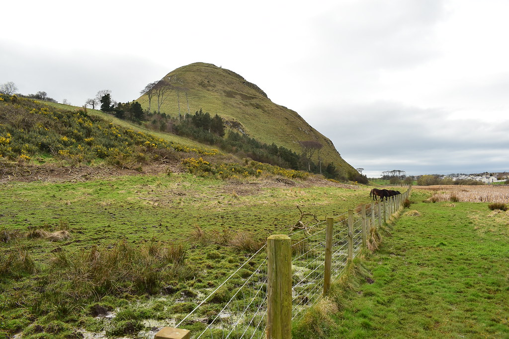
The ponies, the bog and the Law:
 DSC_4185
 by
Chris Mac, on Flickr
The final part isn't as bad as walking alongside the fence as it turns back around and we head along to another gate to enter the housing estate onto Glenburn Road:
 DSC_4202
 by
Chris Mac, on Flickr
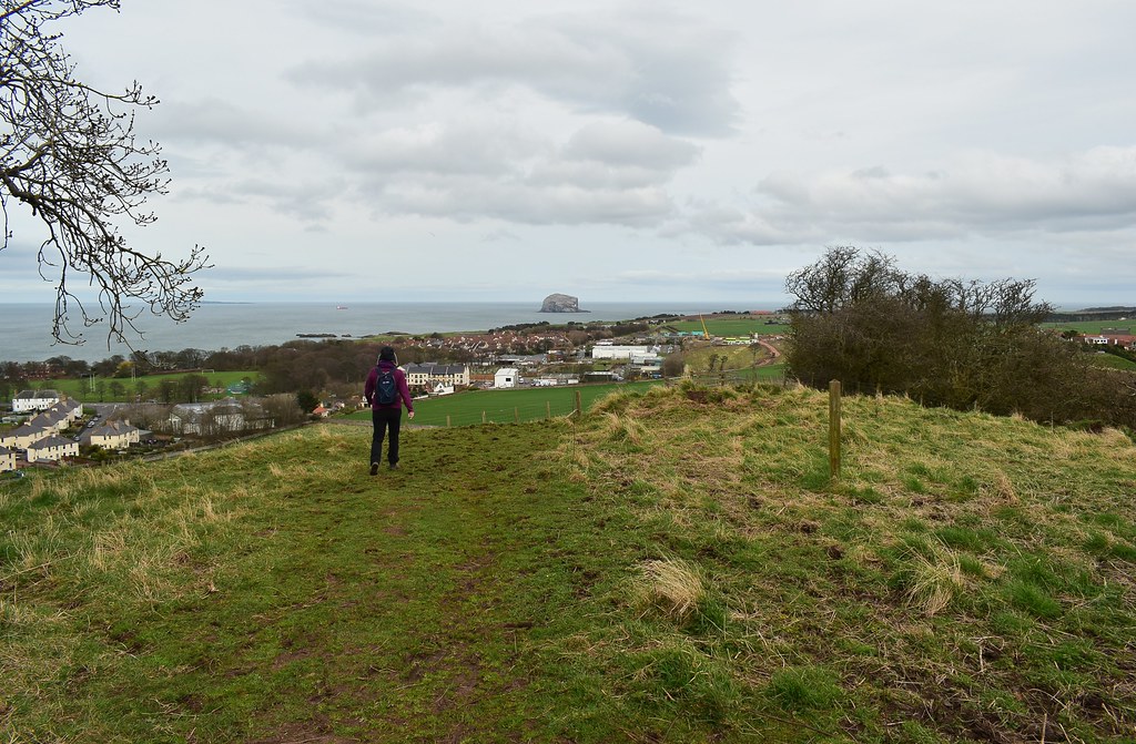
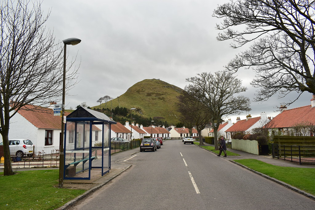
We walk onto East Road, turn left and head back towards the beach, North Berwick Law looking braw in the background:
 DSC_4207
 by
Chris Mac, on Flickr
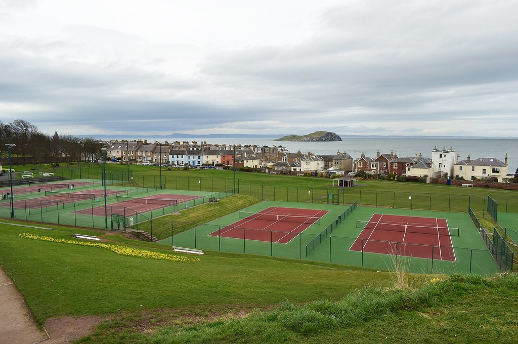
We turn in to the tennis club and turn right onto Quadrant to reach the beach:
 DSC_4214
 by
Chris Mac, on Flickr
Looking back:
 DSC_4224
 by
Chris Mac, on Flickr
We cross the road and hop over the wall onto the beach, always a great way to end a walk although there is no requirement for a dip as it wasn't strenous enough a walk and it's not warm enough. We head towards the Seabird Centre:
 DSC_4227
 by
Chris Mac, on Flickr
Looking back down the beach with Bass Rock back left:
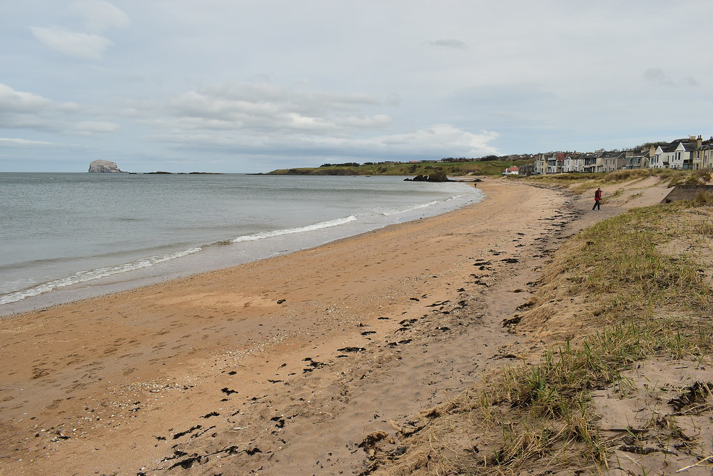 DSC_4240
 by
Chris Mac, on Flickr
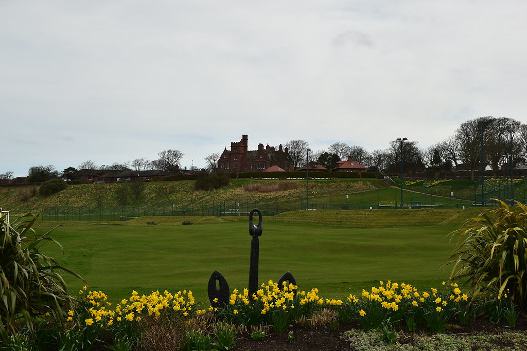
We've seen enough to decide that we really like North Berwick so far and would happily return for another visit:
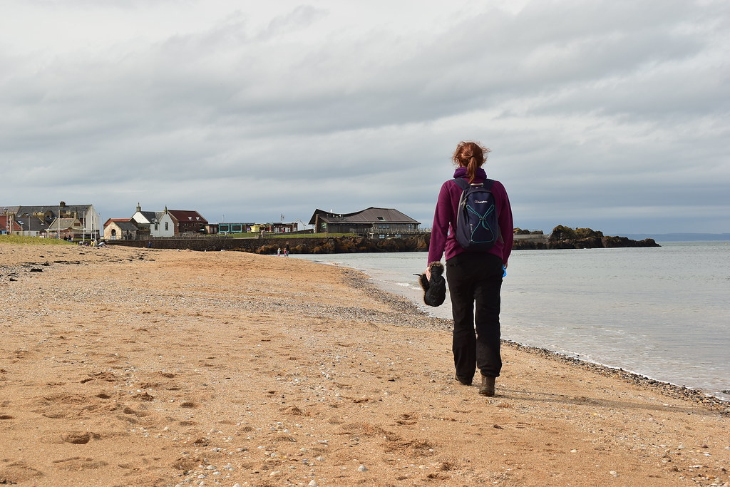 DSC_4277
 by
Chris Mac, on Flickr
We investigate St Andrew's Old Kirk, then pass through the Seabird Centre to head for the pier, looking back at the beach, Law and Kirk:
 DSC_4293
 by
Chris Mac, on Flickr
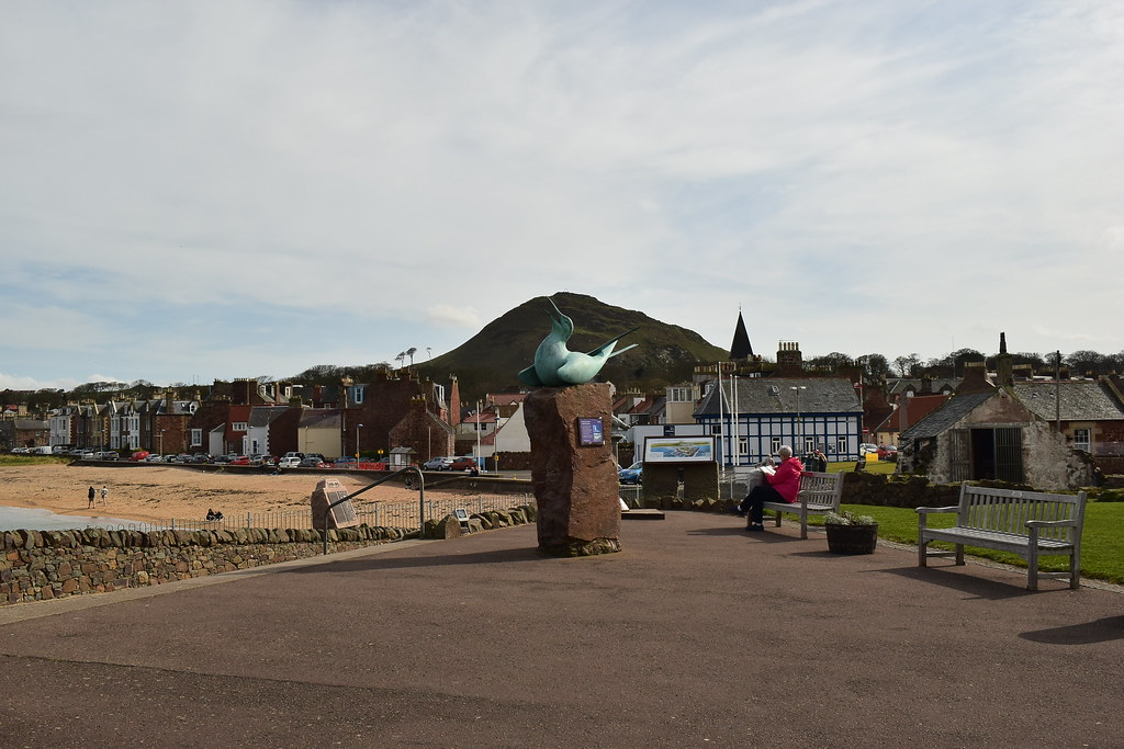
North Berwick Law, wee hills are underrated:
 DSC_4304
 by
Chris Mac, on Flickr
Passing the harbour and Crab Shack:
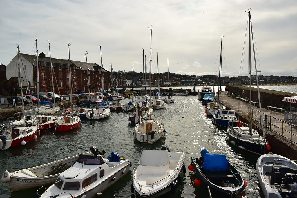 DSC_4322
 by
Chris Mac, on Flickr
It's a very scenic town, looking out to Craigleith as we head along the end of the harbour:
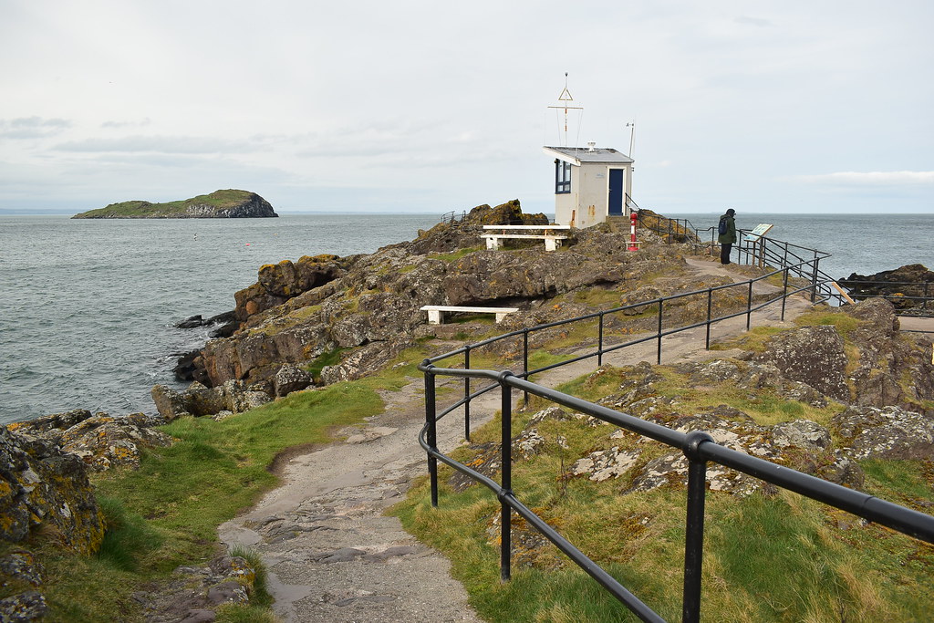 DSC_4343
 by
Chris Mac, on Flickr
The rocky finale:
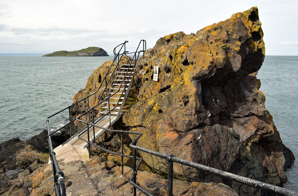 DSC_4354
 by
Chris Mac, on Flickr
So that was us, back to the car so I could change out of my muddy troosers due to unexpected bog hopping but this is easily avoided if going back down the ascent route via the car park. As it was close by and highly rated we opted for the Ship Inn for dinner and it was excellent, quality grub and a nice friendly pub. An hour and a half later we were back in Glasgow and reflecting on an excellent choice of town to explore which had the added bonus of beaches and the Law to enjoy, friendly locals and good grub to boot. Result.
