free to be able to rate and comment on reports (as well as access 1:25000 mapping).
Corbetts: Beinn Damh.
Date: 07/05/2018.
Distance: 11 km.
Ascent: 1010m.
Time: 3 hours, 50 minutes.
Weather: Grey and showery, cloud on the summits.
My second attempt this bank holiday to have a walk in Torridon - on Saturday it had looked better further east so I had headed to Glen Strathfarrar. Today's forecast looked similar but I hoped to find a break in the weather later on in the day.
Originally I intended including Beinn na h-Eaglaise, but I wasn't parked up near the Torridon Hotel until 1pm so I decided to leave it out. The weather wasn't great but it could have been worse. I decided to head up Coire Roill first to get onto Beinn Damh via the Stuc Toll nam Biast ridge. This looks like a really improbable route, but I came down it 10 years ago and found a couple of cairns marking an easy route. This would also leave me Sgurr na Ban Mhoraire for last, when the weather was supposed to clear up a little. This happens to be a great viewpoint, possibly even better than Beinn Damh itself due to the way it sits out over Loch Torridon.
 Sgurr na Bana Mhoraire
 The path up the corrie is pretty good, and after around an hour, I was at the lochan at the head of the corrie. Contouring under crags and outcrops from here takes you fairly straightforwardly to the steep ascent. The sun came out over Maol Chean-dearg and things were looking quite promising here.
 Liathach and Loch Torridon
 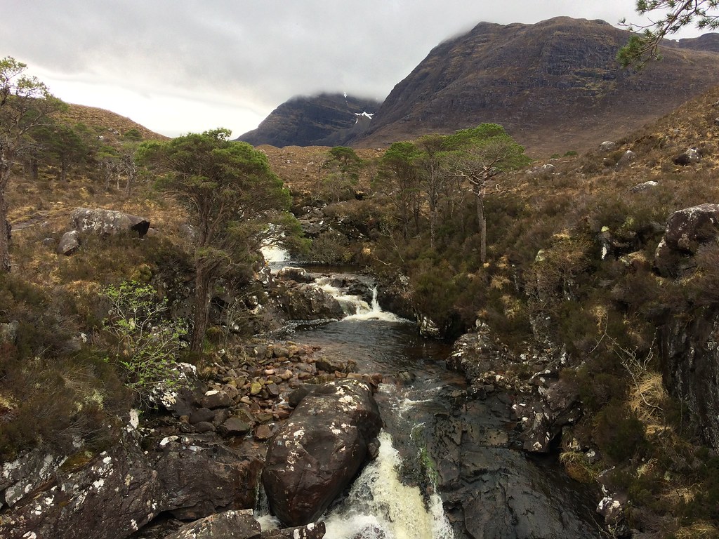 Allt Coire Roill and Beinn Damh
 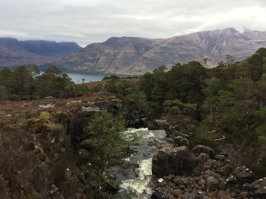 Liathach from Coire Roill
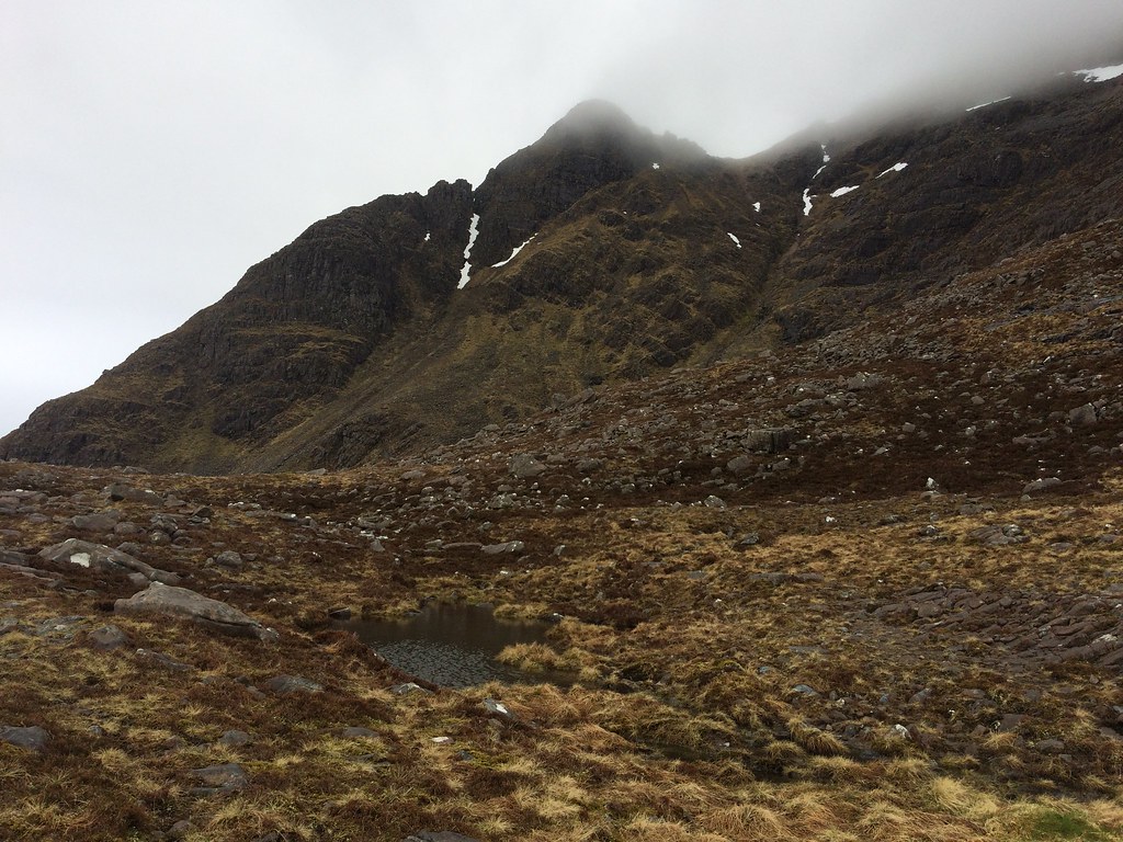
 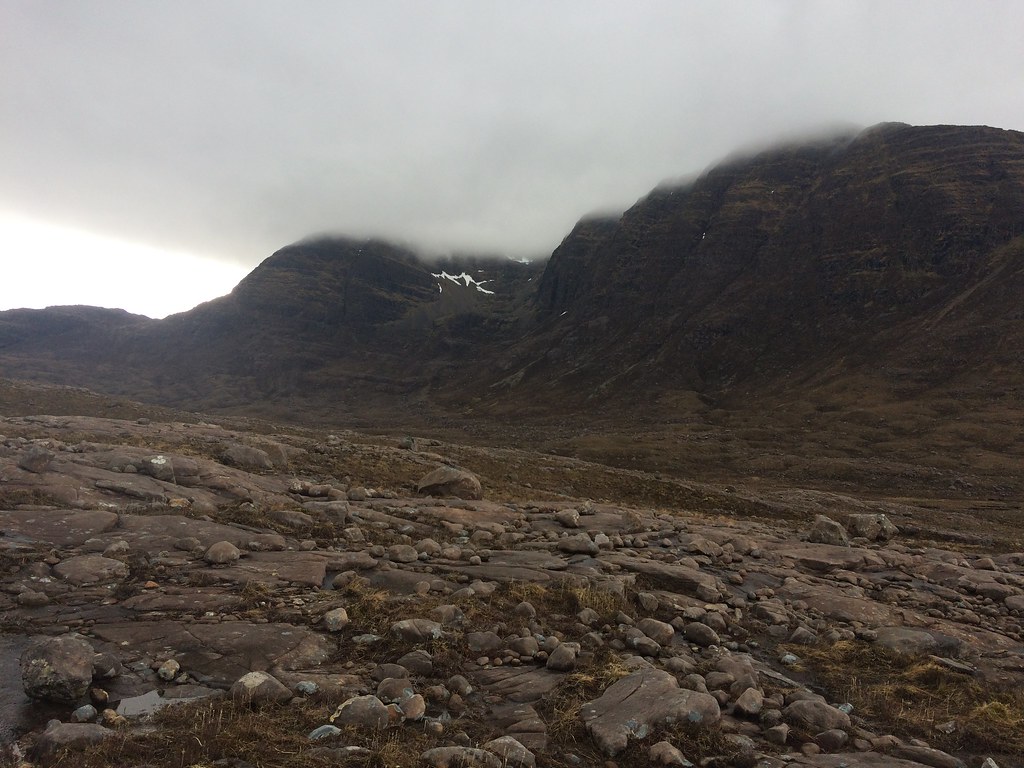 Eastern flank of Beinn Damh
 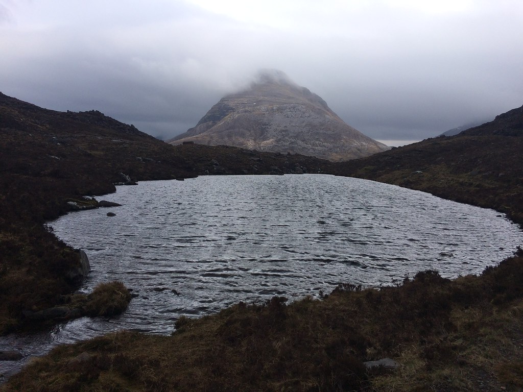 Maol Chean-dearg
 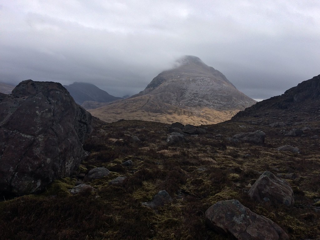 Maol Chean-dearg
 The easiest route up Stuc Coire an Laoigh is to the left (east), where there is even a faint path now (can't remember if this was here before) and the aforementioned cairns. Slightly further west is some optional scrambling which I avoided due to the rock being quite greasy.
 Stuc Coire an Laoigh
 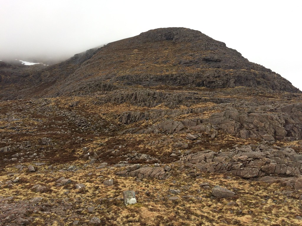 Stuc Toll nam Biast
 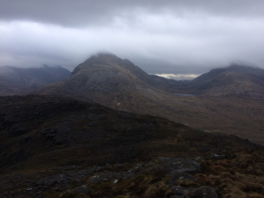 Maol Chean-dearg
 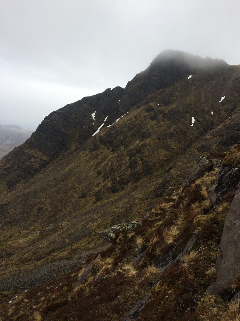 Stuc Coire an Laoigh
 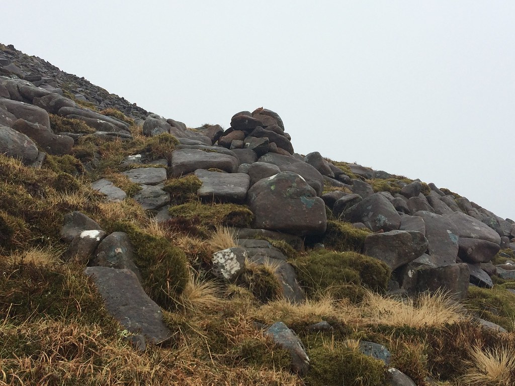 Cairn marking the ascent of Stuc Toll nam Biast
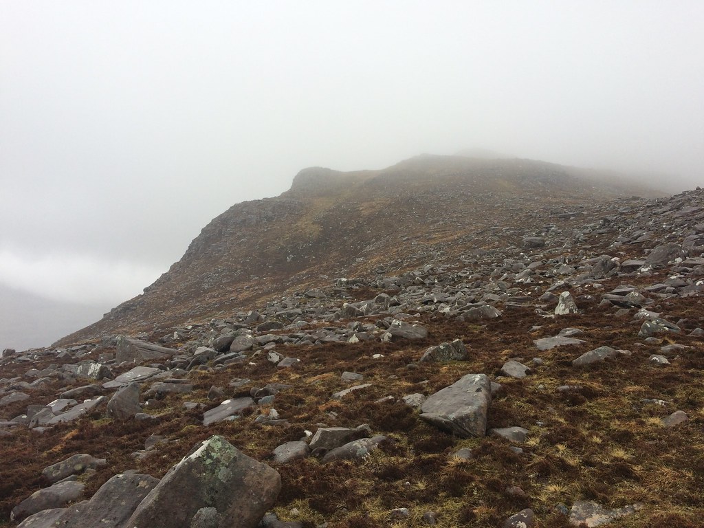
 Before long I was up the steep bit and into the cloud, where a short shower also came on. Not what I had hoped for really, but never mind. A narrowish arete leads up to the steep summit crag, which is bypassed to the right.
After pacing the summit a bit, I decided it wasn't going to clear and headed along the crest of the ridge for the 868m top. I dawdled along here, hoping it would clear at some point, but it never did. A quick look at the map told me that I needed to go west a bit to get on the correct ridge and descend on the right side of the Toll Ban. I didn't bother getting my compass out and - surprise surprise - ended up descending the wrong ridge!
 Glac Buidhe
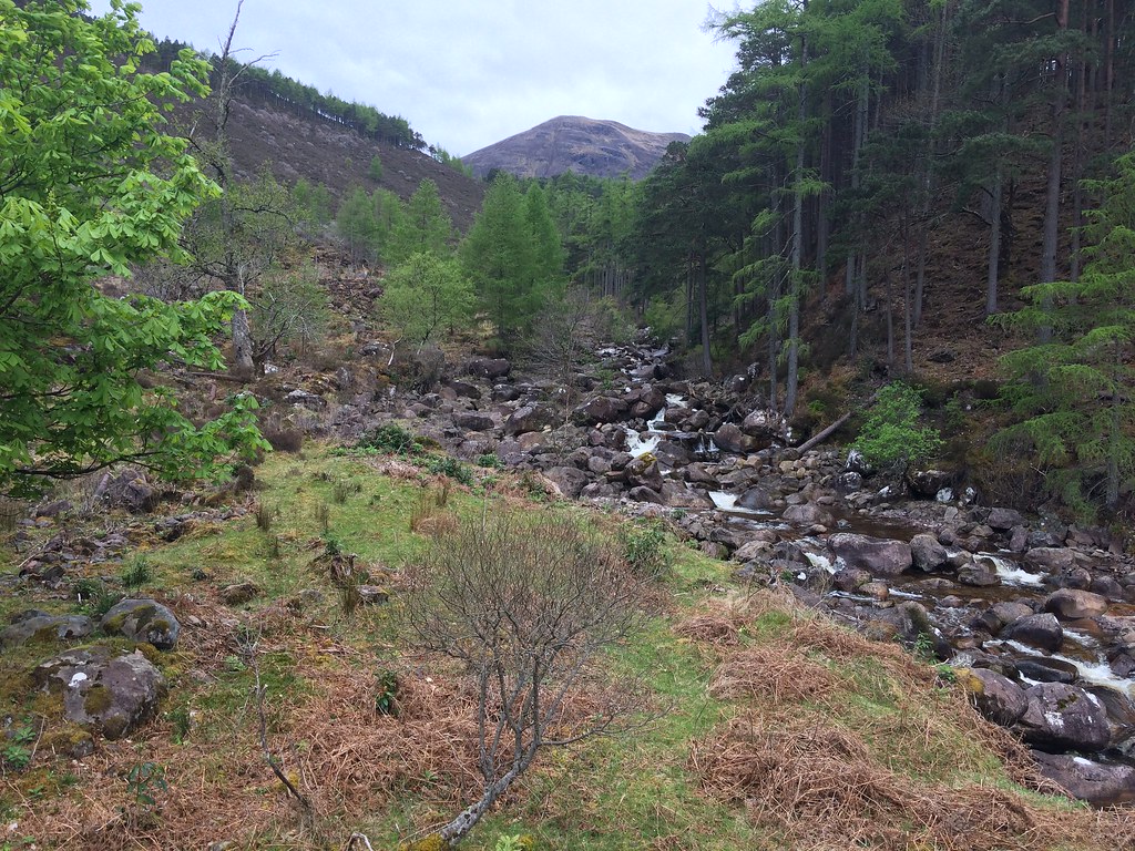
 It didn't really matter in the end as Sgurr na Bana Mhoraire didn't look like it was going to clear any time soon, meaning I would have missed it out anyway. I joined the usual ascent path and enjoyed looking at the waterfalls further down the corrie.
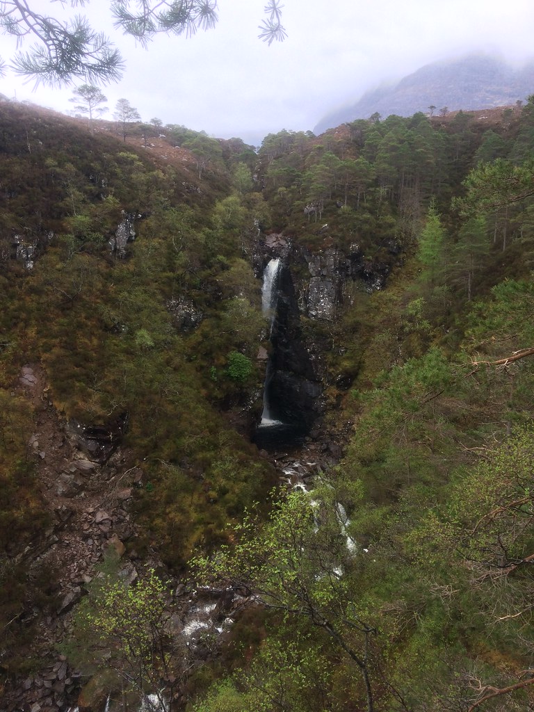 Waterfall on the Allt Coire Roill
 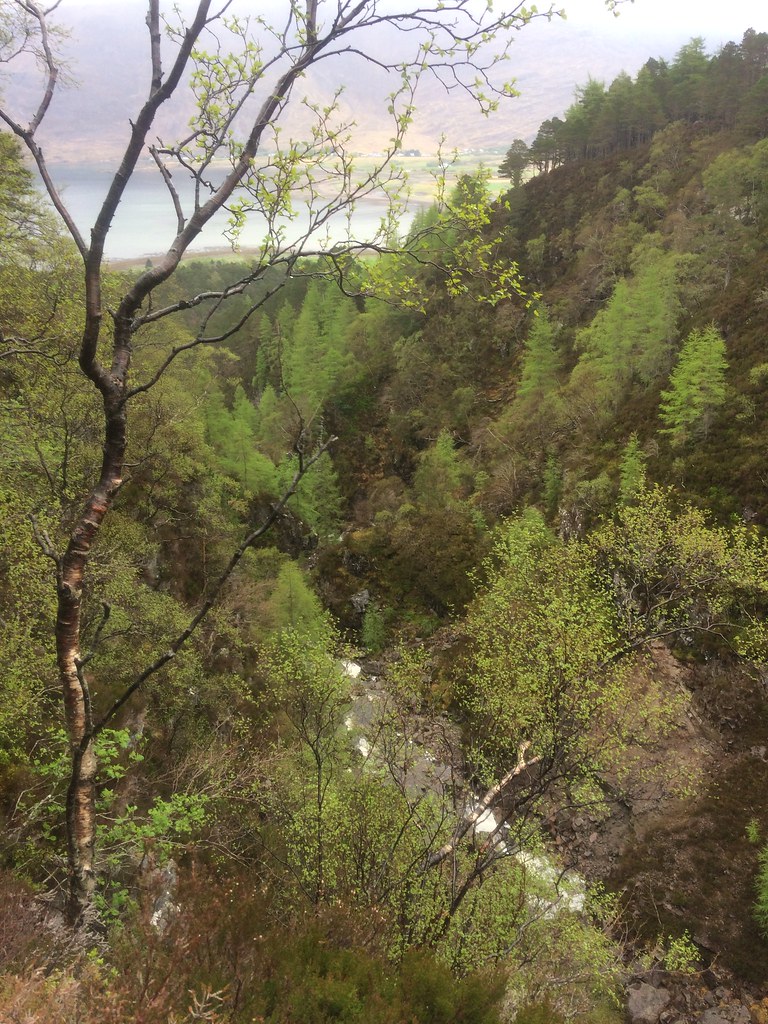 Allt Coire Roill
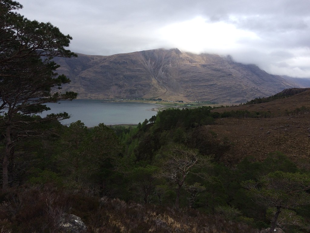
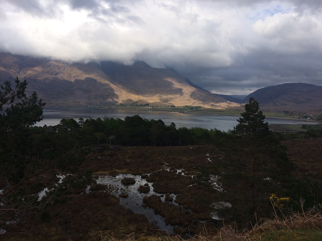
 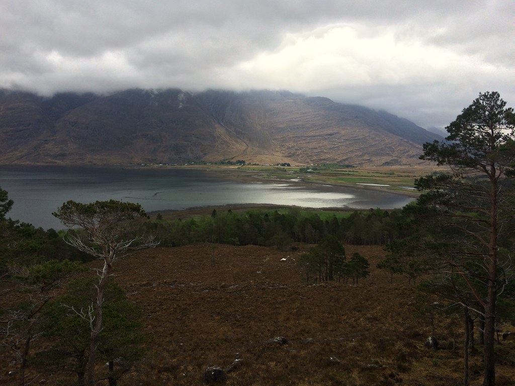 Torridon and Loch Torridon
 Shortly after I arrived back at the car, the weather did clear a bit, although not the summits. Possibly if I'd hung around for another hour in the murk I would have eventually got views, but I doubt I would have bothered with that. Instead I enjoyed the scenery on the way home, which got progressively sunnier as I headed east.
 Liathach from the Shieldaig road
 Always good to get to Torridon even if the weather doesn't play ball.
