free to be able to rate and comment on reports (as well as access 1:25000 mapping).
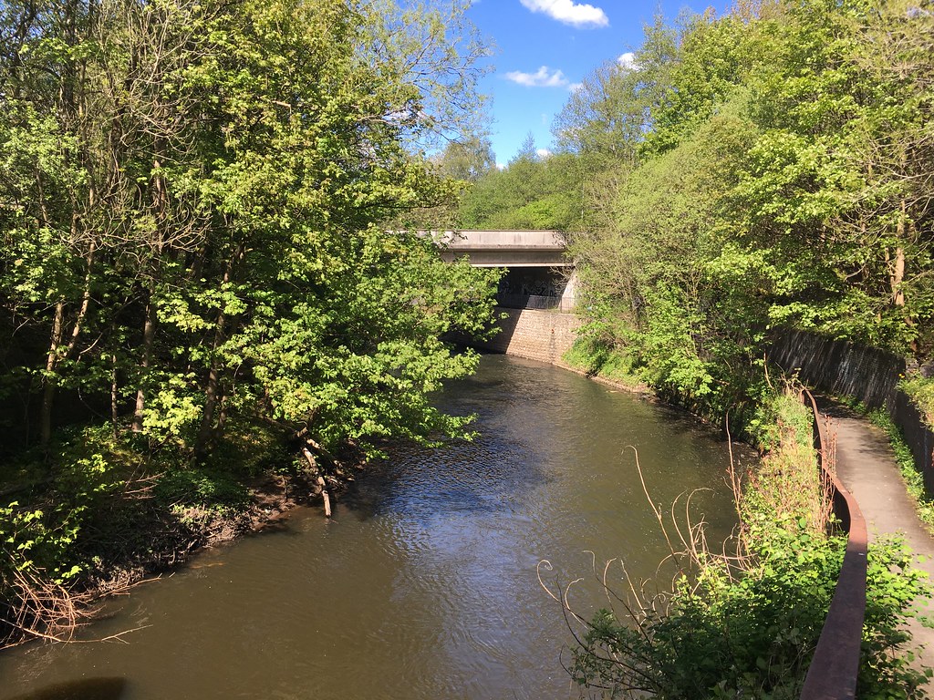
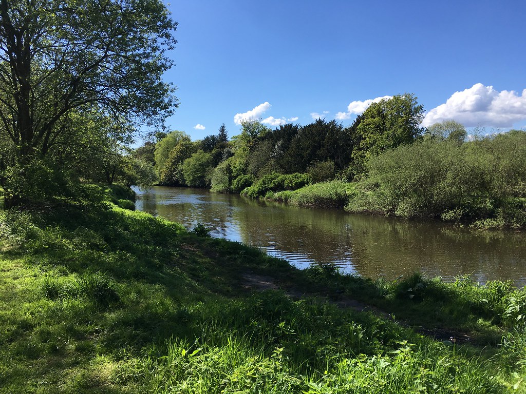
...but not all of it, because I live quite near the Kelvin, so I just joined it at the point nearest to my home. I like to do this walk every year or two, at different times of year. This year I decided on a spring walk. I joined the official Kelvin Walkway at Kelvindale. This stretch can best be described as a long urban park that runs alongside the river, busy with joggers, cyclists and dog walkers. The path passes under the Forth & Clyde Canal at Maryhill Locks and shortly after under the Maryhill Railway Line.
 Near Maryhill Locks
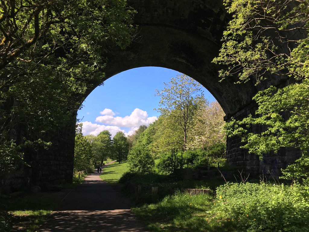 Going under the Maryhill Railway Line
Shortly after this there is a footbridge leading to Dawsholm Park...ignore it and carry straight on. The path now climbs up towards the A81 - Maryhill Road. You can either turn off before this and continue alongside the river for a few hundred yards through the University of Glasgow's Garscube Estate or take this opportunity to cross the road - you have to cross it either way. I decided to cross the road and enter Maryhill Park. Considering it was a scorching hot Sunday afternoon the park was unbelievably empty...a bit of a hidden gem perhaps? It even has its own trig point, which is a bit weird as it doesn't even seem to sit at the high point of the park. Good views north to the Campsies though, which is probably why it's here.
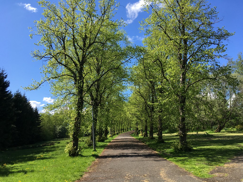 Maryhill Park
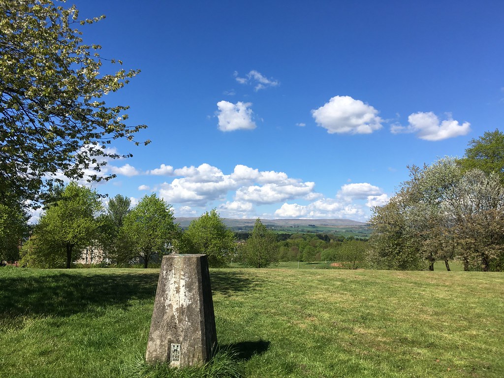 Maryhill Park trig looking north
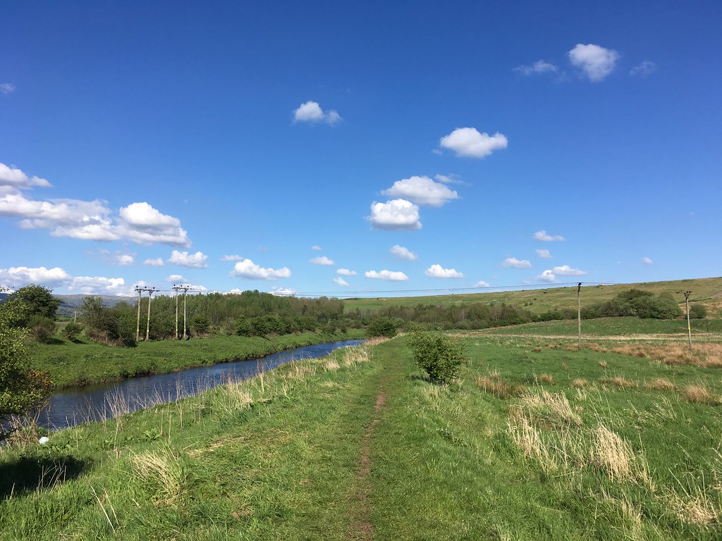
Leave Maryhill Park onto Caldercuilt Road and head north...after a short while the road peters out and becomes a track running alongside a horse riding school. After a few hundred yards you rejoin the River Kelvin...and suddenly you're in the countryside! Turn right to continue heading towards Milngavie. The path is well defined and maintained at this stage, with just a few muddy bits to negotiate. At this time of year the place is alive with butterflies and birds...in the trees and on the water.
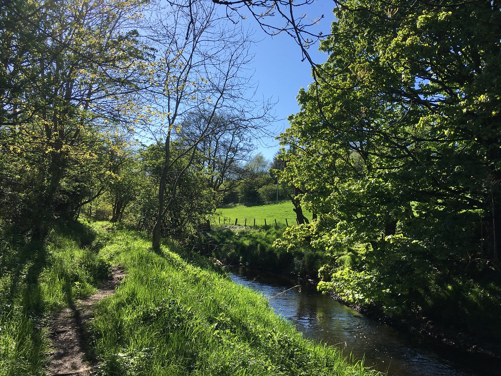
 Rejoining the River Kelvin
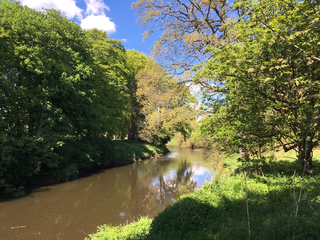 Woodland by the river
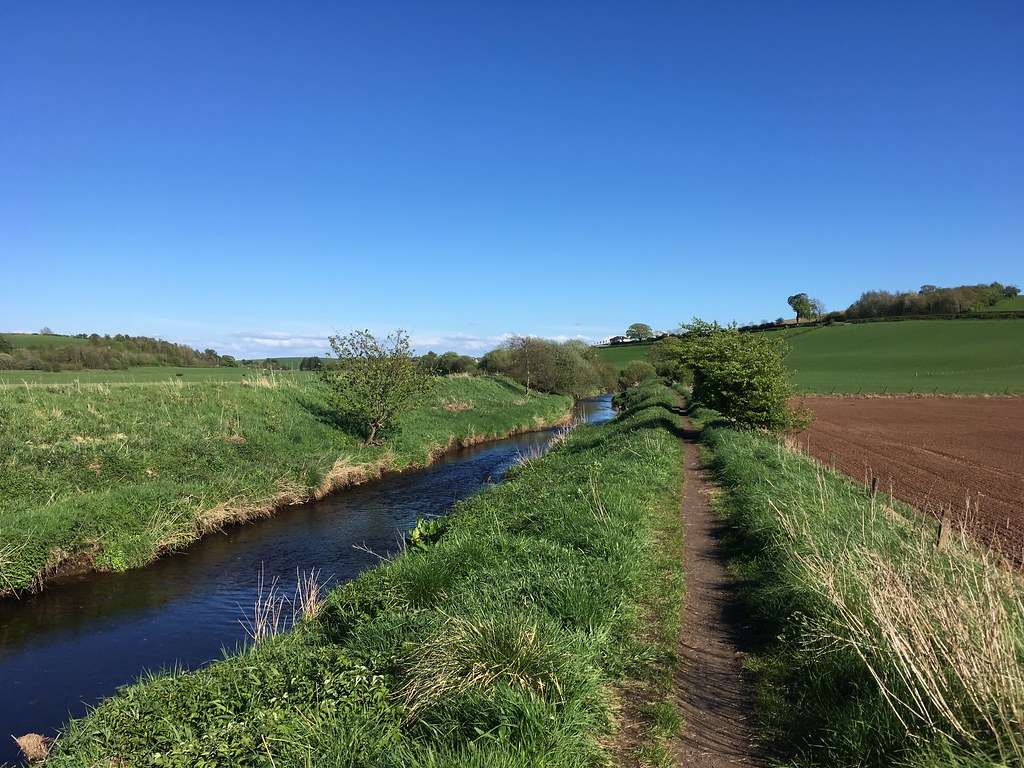
On this stretch there's a short section of open fields, leaving the woodland behind for a few hundred yards. It might be coincidence, but every time I've done this walk I've seen buzzards along this precise stretch, and today was no exception. One was being relentlessly mobbed by a gang of crows...I felt quite sorry for it! Further along I was lucky enough to see a young family of Great Crested Grebes out on the river - mother and four chicks looking very cute.
 Buzzard hotspot
Once back in the woods it's not long before you have to briefly rejoin civilization by crossing the A879 and switching banks of the river. From this point on the path gets a bit more "rural" and after a while it climbs above the river and eventually you lose sight of the River Kelvin for good...the next bit of water you come across is the Allander Water which joins the River Kelvin around here. The path turns west to follow it and head towards Milngavie.
 Allander Water
The path here is sometimes a joy to walk along and sometimes a muddy mess punctuated with broken stiles. The stretch just after Boclair is particularly bad, but on the other hand you can always take a short detour to Dobbie's Garden Centre if you fancy some refreshments.
Just after the muddy stretch you emerge into open countryside and shortly the terrain gets gradually more urban until just after Rangers' training ground on the right you arrive in Milngavie...hopefully in good time to jump on a train back home (in my case).
 Looking back along the Allander Water
This is a great walk to have on my doorstep for those days when you don't have time for a full day out on the hills and just want to stretch the legs and enjoy some wonderful wildlife.
