free to be able to rate and comment on reports (as well as access 1:25000 mapping).
Grahams: Green Lowther, Ballencleuch Law.
Sub 2k Marilyns: Well Hill
Other Donalds/ New Donalds: Lousie Wood Law, Dun Law, Lowther Hill, East Mount Lowther, Cold Moss, Rodger Law, Comb Law.
Date: 26/05/2018.
Distance: 31.5 km.
Ascent: 1800m.
Time: 7 hours, 50 minutes.
Weather: Warm, very windy, bright spells and haze.
Finally time to pack up my flat in the NE and head back to the Highlands

. As I had a car for this, I thought I'd do the journey over 2 days, stopping off in the Southern Uplands overnight for a last grab at a Donald or two. I had a few short walks in mind - I optimistically thought I'd manage round one of them on Friday evening and be up the road at a reasonable time the next day. However I was easily swayed by Alan (Mountainstar) and Captain Birdsey to camp out in the woods near Alston in the Pennines and have a few beers. Alan was on his way back south from following/partly joining Scottjamie on his TGO crossing.
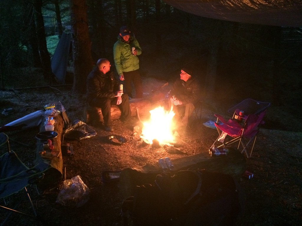 Campfire near Alston
 A few drinks with Alan, Mark and Mick on Friday night didn't make for the most comfortable of starts the following morning, but I managed to get away before 8am. After a McMuffin stop in the Annan Water services, I was parked up at Peden at around 10:15am. Somehow I had convinced myself that it would be perfectly sensible to string all of my short walks together into one long circuit before hitting the road for Inverness

.
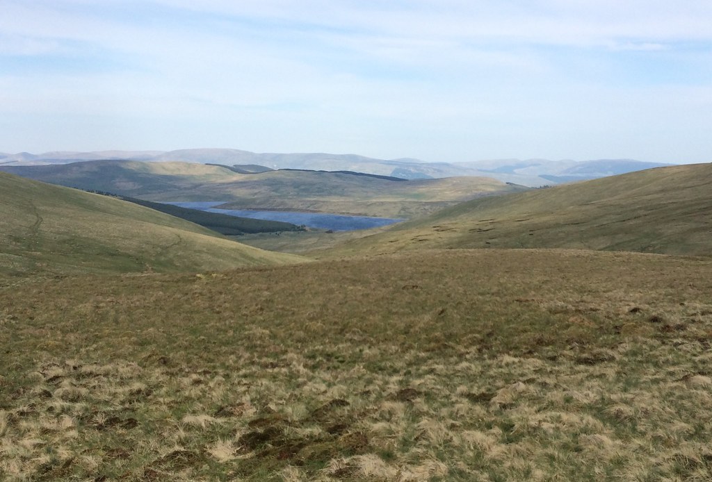
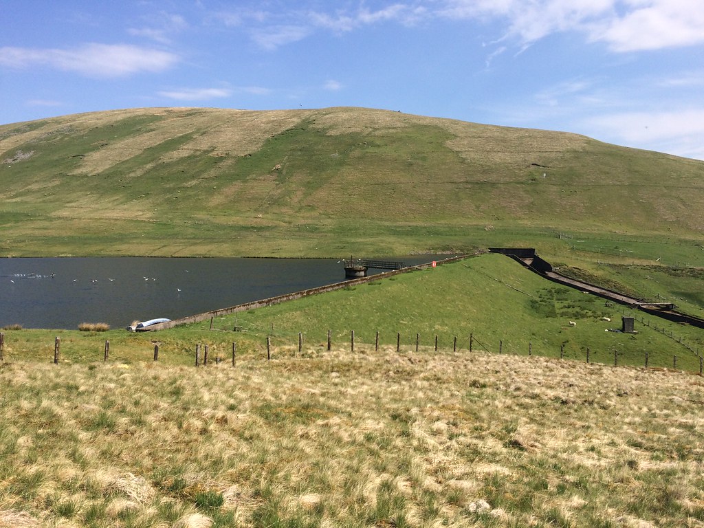 Peden Reservoir
 After some showers the previous evening (including some particularly heavy ones as I had attempted to decant the contents of my flat into the car), it was warm and sunny but there was a strong breeze. I didn't mind too much as that was also warm. There was a bit of road walking on my route, but I shortened it by parking at Peden for the initial ascent to Lousie Wood Law - a slightly unusual approach but it brought my start and end points closer together. The going was dry up next to Peden Reservoir apart from one well disguised patch of slop, that I disappeared into up to my shin

.
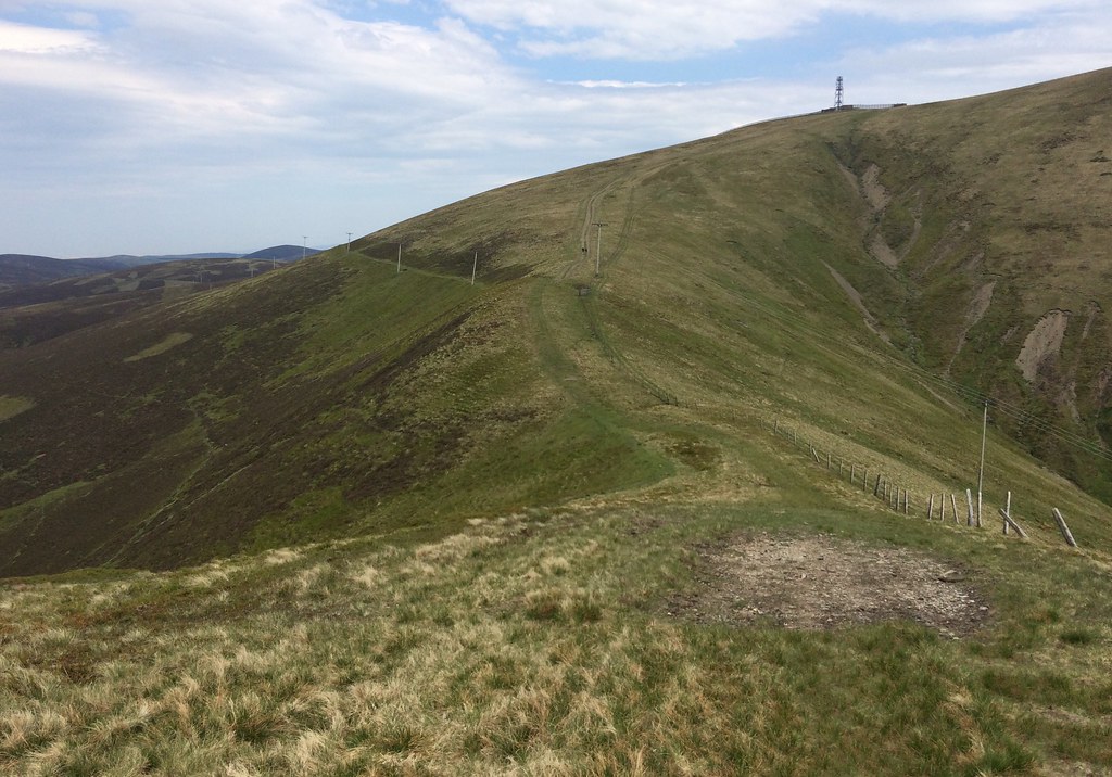
 Glenochar
 Once through the Doddin/Kneesend col, a steepish grind up short grass took me to slightly softer ground, passing a wind-speed mast on the way to the trig point on Lousie Wood Law. The views were actually quite pleasant and I was enjoying myself - the reason I had selected these hills as a drive-past on the way home was that they struck me as the least interesting of my remaining Donalds, and the ones least likely to draw me back specifically to climb them (not that I'm bagging Donalds or anything

). However, everything seems quite shapely and interesting after parts of the Northern Pennines!
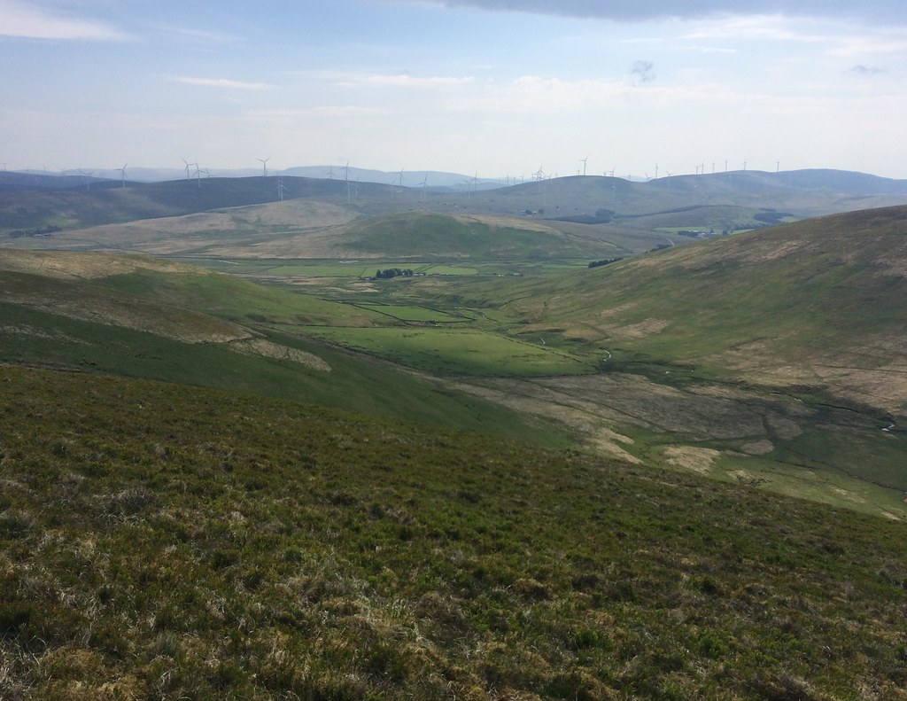
 Upper Clydesdale and the M74 from Lousie Wood Law
 Windgate Hass is an unexpectedly steep cut into the ridge, but other than that (in these dry conditions at least), the walk along to Green Lowther is a mere amble, with an interesting angle on Leadhills and Wanlockhead.
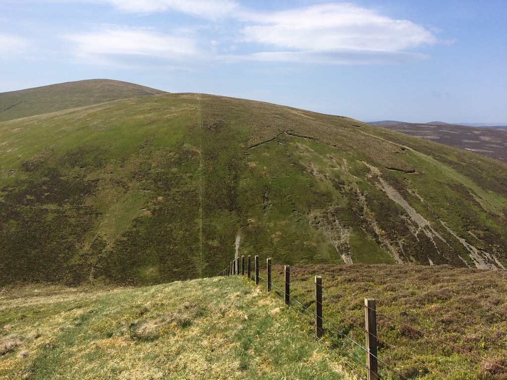 Little Windgate Hass - steep!
 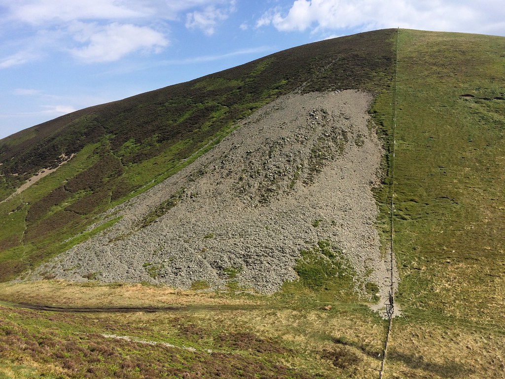 Looking back to Lousie Wood Law
 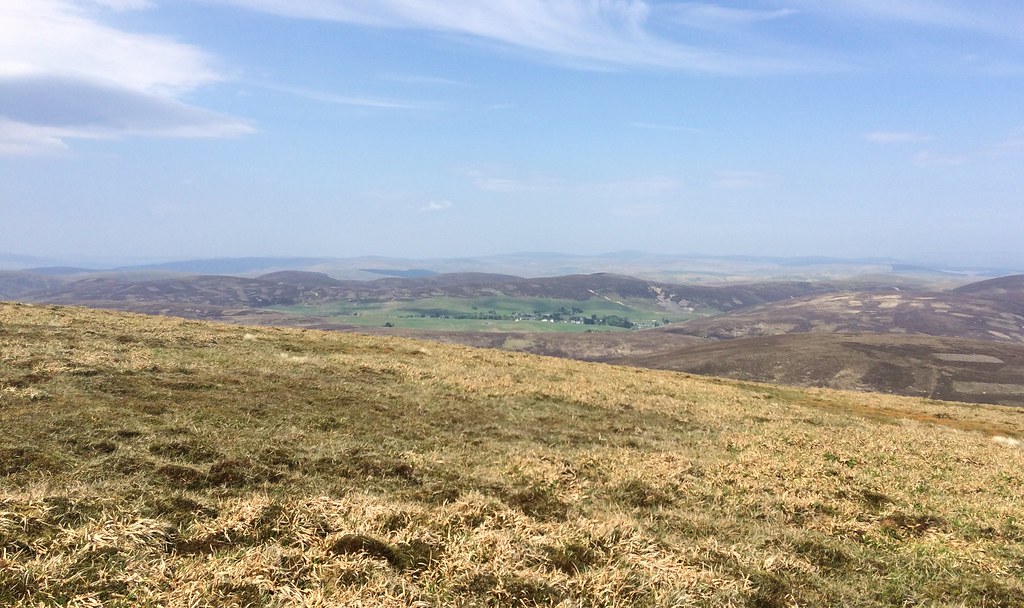 Leadhills
 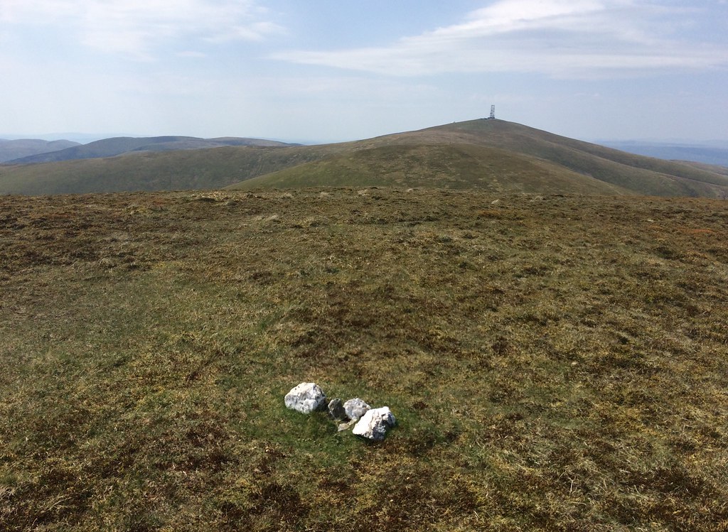 Monstorous summit cairn on Dun Law
 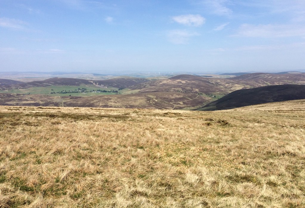 Leadhills from near Dun Law
 Green Lowther was probably one of my first Grahams - we stopped off in Wanlockhead YHA years ago on out way up to Glencoe for our summer holidays, and I cycled up the road to the Lowthers that evening. No real need to go up it or Lowther Hill again today, but they happened to join up my unclimbed hills at each end of the range.
 Approaching Green Lowther
 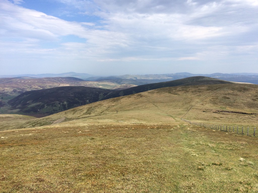 Dun Law from Green Lowther
 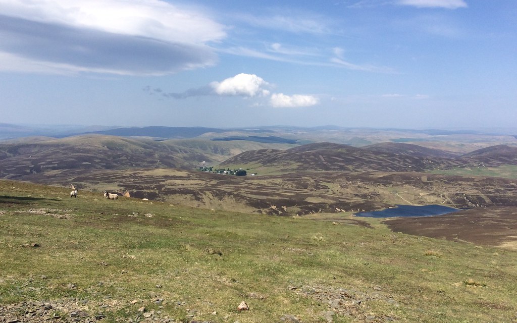 Leadhills from Green Lowther
  Green Lowther summit
 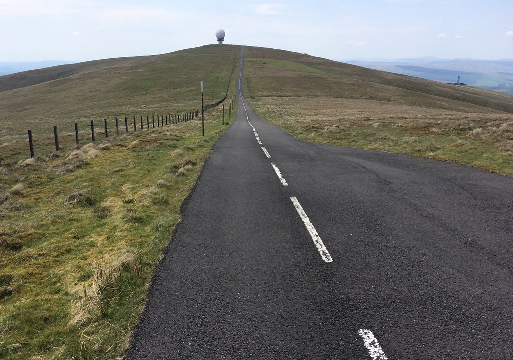 On the motorway between Lowther summits
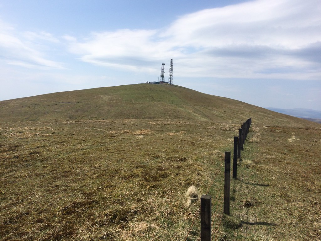
 On Lowther Hill summit were a large group of road cyclists who were taking advantage of the traffic-free smooth tarmac (better surfaced than the A9!). After walking down the road a short distance, I transferred to the ridgeline to increase my views and avoid the speedy cyclists.
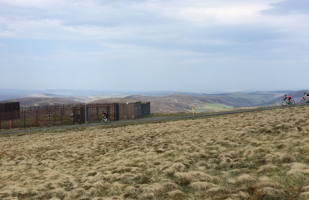 Cyclists
 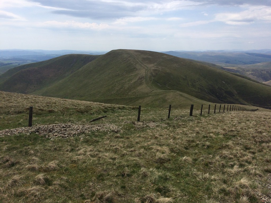 East Mount Lowther
 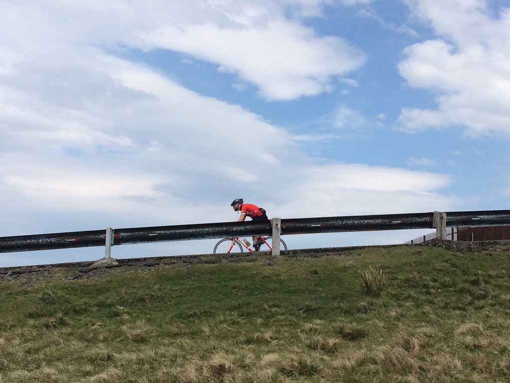 Cyclist on the Lowther Hill road
 The ridge out to East Mount Lowther was lovely - even quite narrow (for around here) in places. After the summit, I retraced my steps a short way before dropping diagonally down to the Enterkin Burn. I was hoping for water here, but there was a pitiful trickle and a smell of dead sheep around, so I decided to keep going. An upward traverse led me to the summit of Cold Moss, where I picked up the Southern Upland Way.
 On the ridge to East Mount Lowther
 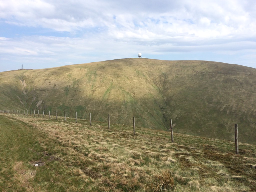 Lowther Hill from East Mount Lowther
 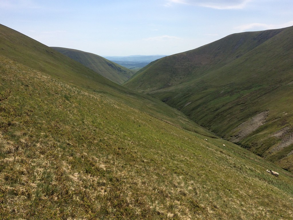 Enterkin Burn
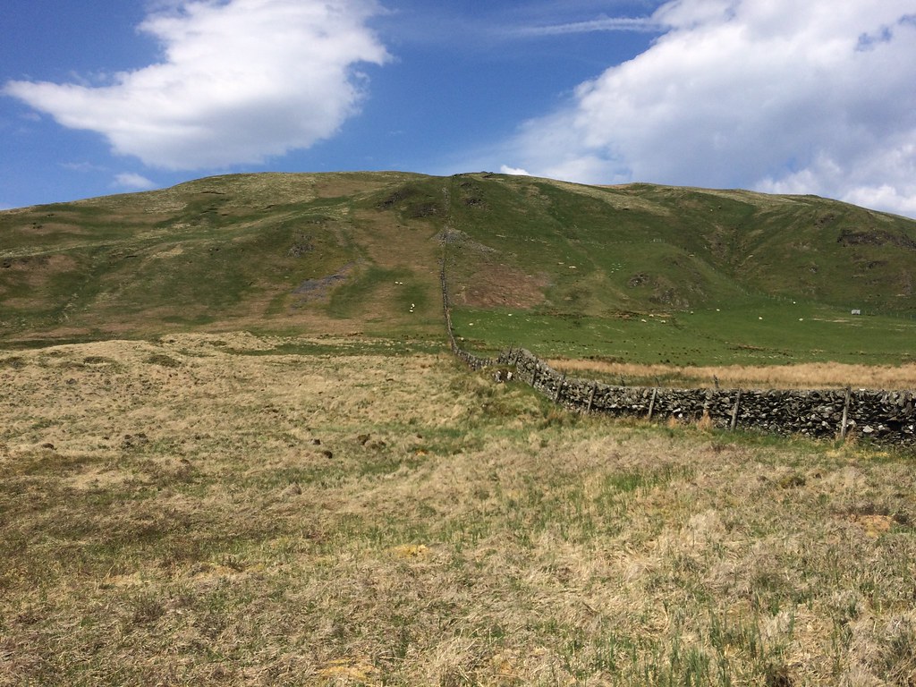
 I crossed a switched-off electric fence to get better views down the Dalveen Pass as I passed over Comb Head. Some of the lower summits around the southern end of the Dalveen Pass are quite attractive in a steep-sided Howgills type of way.
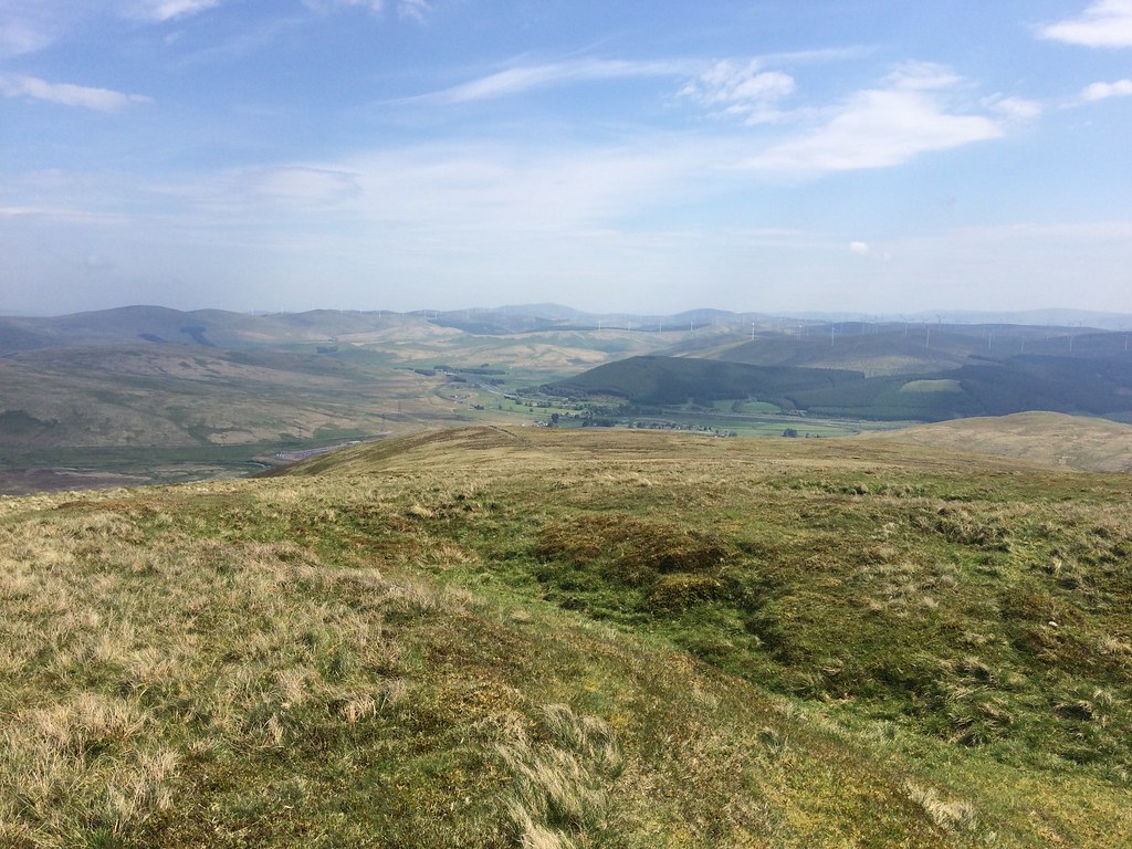
 Dalveen Pass
 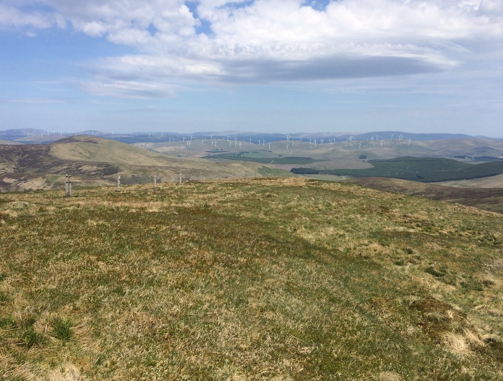 Clydesdale windfarms and Culter Fells from Comb Head
 I went back to the fence to chat to a guy who was coming up the Souhern Upland Way. He was a local trying for a different route up Green Lowther to the normal Wanlockhead one. Lower down I found some reasonable water and crossed the main road to start the ascent of Well Hill.
 Looking back to Comb Head
 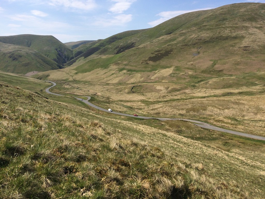 Top of the Dalveen Pass
 Well Hill had a couple of peat hags on it but was generally easy going. The top was pretty breezy though! I managed to get out of the wind and stop for some food. Last time in the Daer Hills, Well Hill had struck me as the most interesting of the range, and I had wanted to go up it. However it was off my route and I didn't. Nice to confirm that it is a pleasant hill

.
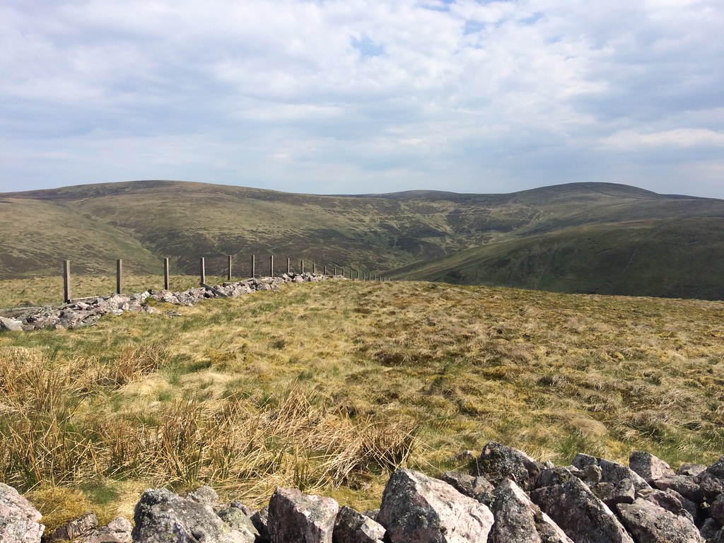 Rodger Law and Ballencleuch Law from Well Hill
 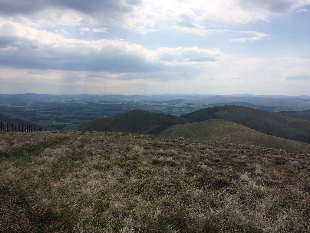 Penbane and Black Hill from Well Hill
 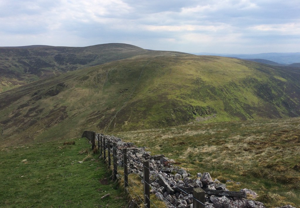 Scaw'd Law from Well Hill
 Ballencleuch Law has never been on any list of hills that I had planned to go up again, so it seemed a bit odd to be going up it for a second time. Admittedly last time it had been one of the low points of my multi-day traverse from Tinto across the Culter, Moffat and Ettrick hills then on to Thornhill via the Daer Hills - mainly because I had been so bloody knackered at that point.
 Roman road to Durisdeer
 A steep descent led me to the roman road, then a bit of cross country and a better water supply (the Potrail Water) led me to the ill-defined NW spur of Ballencleuch Law. I suppose I could've skipped it completely and gone straight to Rodger Law, but it didn't appear to add a significant amount to the day. The going was quite heathery almost to the summit, where a faint quad bike track led on towards Rodger Law.
 Ballencleuch Law and Nithsdale from Rodger Law
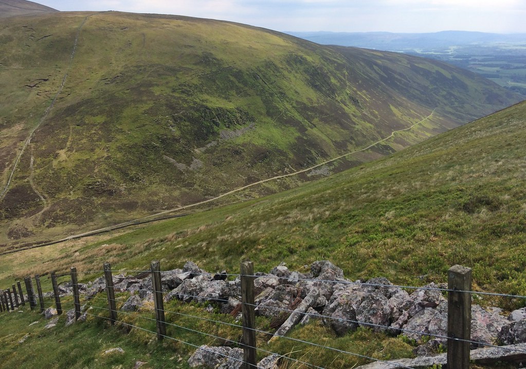
 Rodger Law was the more pleasant summit of the two, but the area was nowhere near as bad as I had remembered it, if still a bit featureless. There were a few hags to cross to reach Comb Law, but they were dry, and I was soon descending towards the Southern Upland Way. The lower section of this descent was the wettest of the day aside from my mis-step at the start.
 Daer Reservoir from Comb Law
 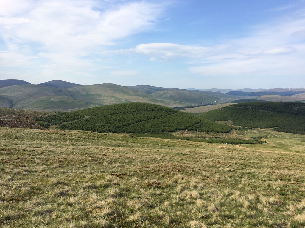 Lowther Hills from Comb Law
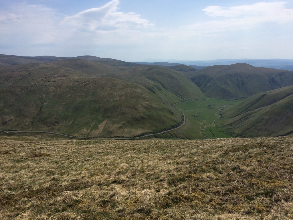
 The Southern Upland Way provided a nice easy passage back to the road at Nether Fingland., from where it was a pleasant 15 minutes back to the car in the evening sunshine.
 Upper Clydsedale
 Certainly not hills to write home about, but like most of the Southern Uplands they exceeded my expectations even though I had been up some of them before. After a quick dinner at Cairn Lodge services, I hit the road home, running into thick sea mist about 5 miles outside Inverness. It would appear that I probably am bagging the Donalds after all, although there is more than enough catching up in the Highlands to do for that to be too soon!
