
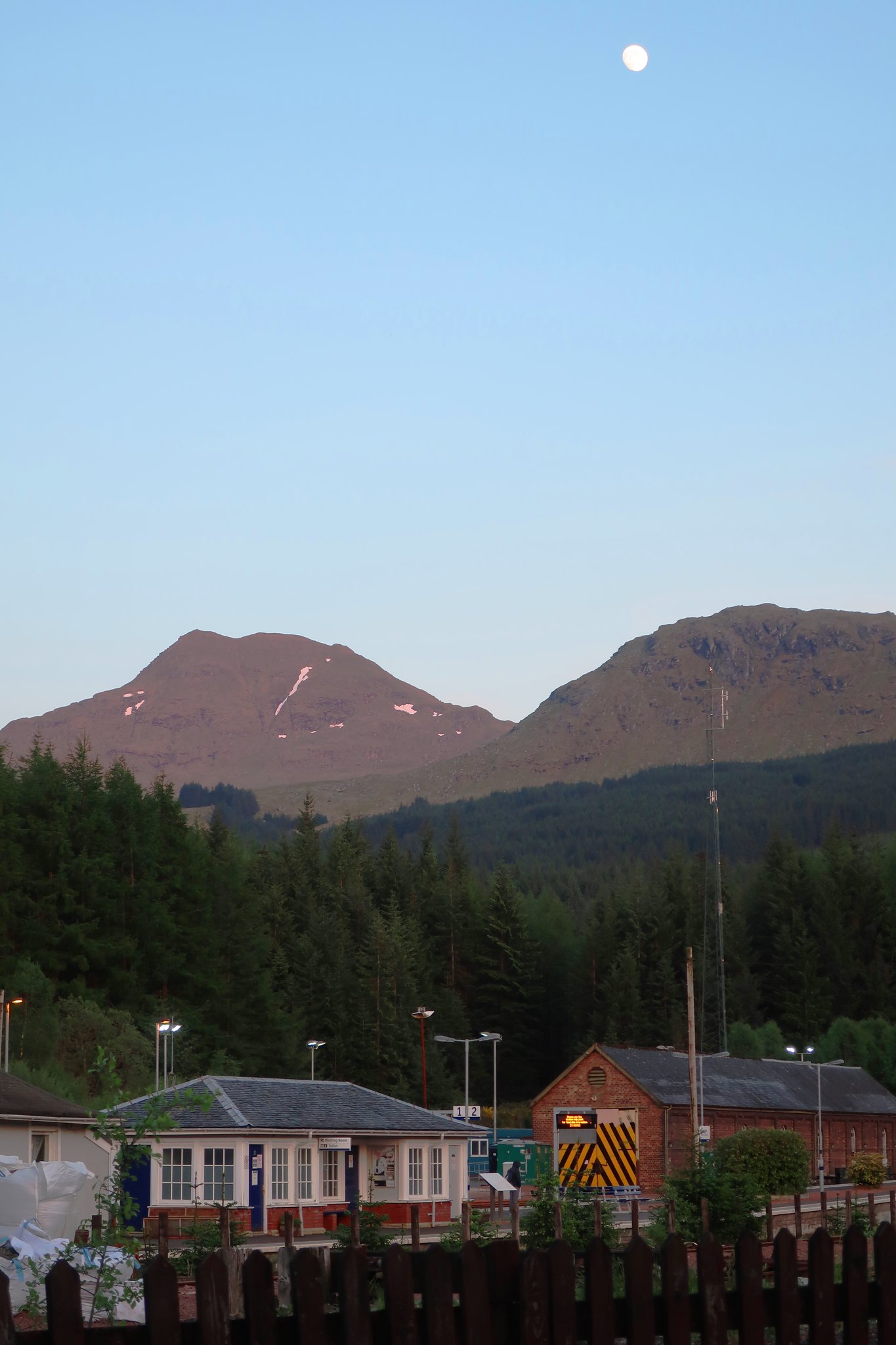
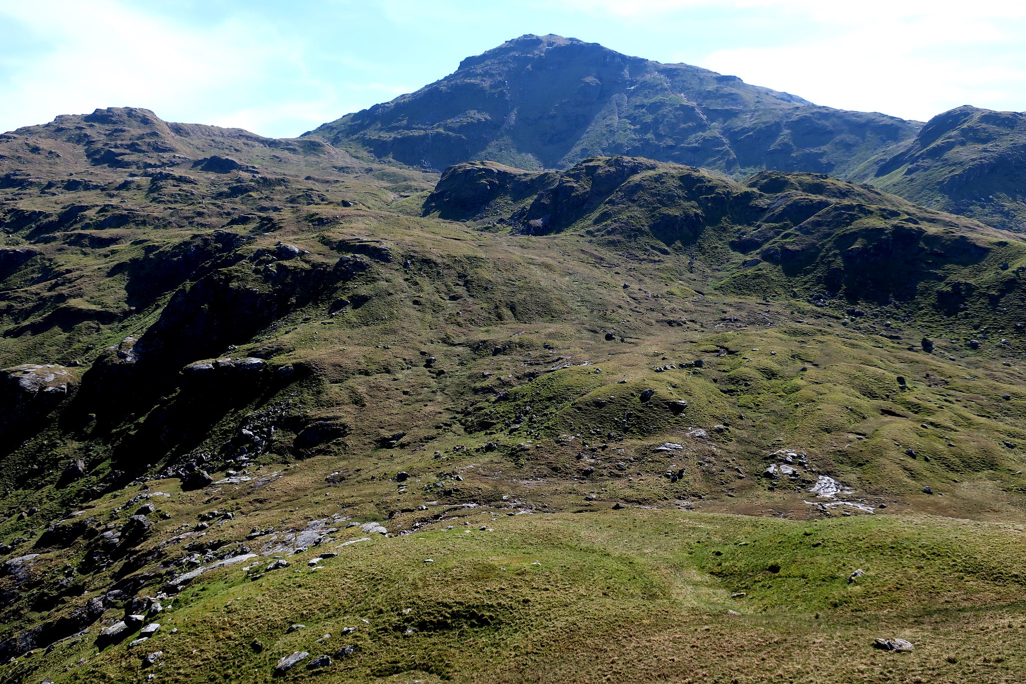
Cruach Ardrain and Beinn Tulaichean from Crianlarich
After a large group of us climbed Ben Vorlich, a friend's last Munro, I drove back to the youth hostel at Crianlarich, to see the moon shining down on Cruach Ardrain and the railway station.
 . by Half Man Half Titanium, on Flickr
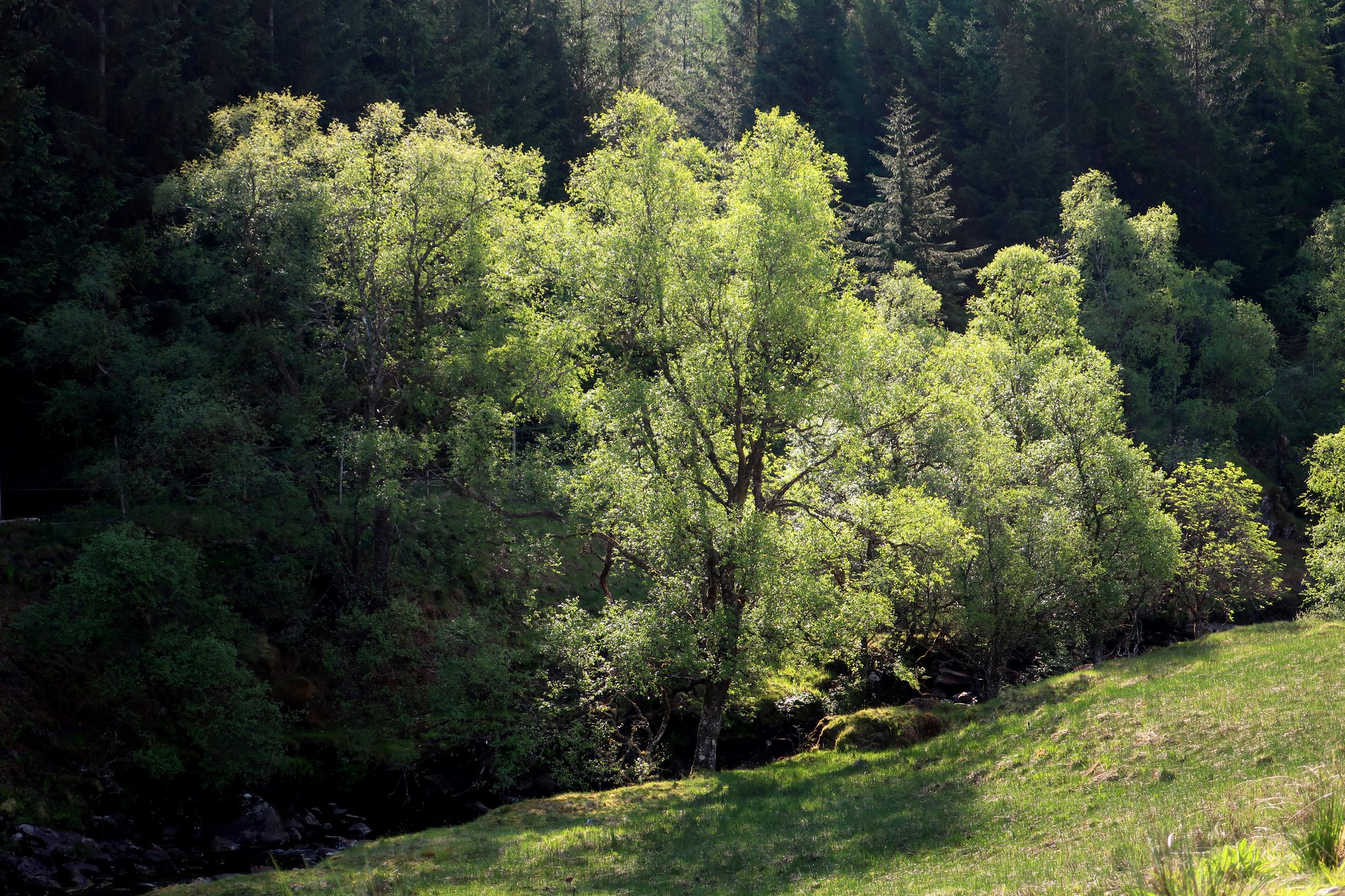
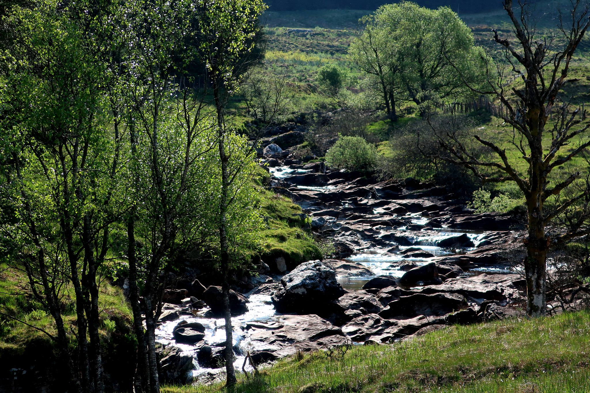
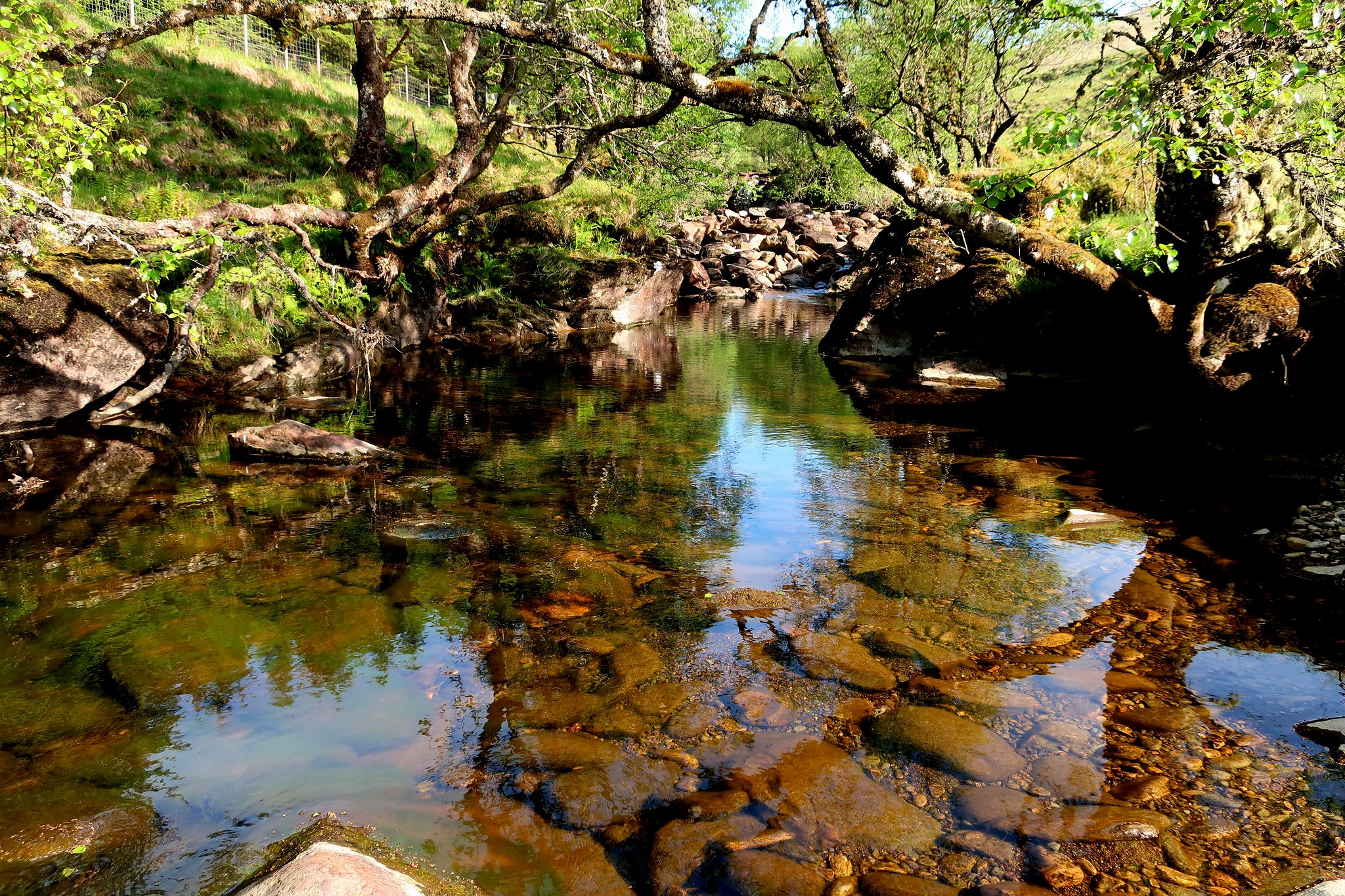
Cruach Ardrain always seems to me like the parent hill of Crianlarich, so it seemed the natural walk to do the next day. I decided to approach, and descend, by Glen Falloch, and also take the opportunity to explore the less known area overlooking the Braes of Balquhidder.
I had my usual early start and enjoyed the beautiful early morning scenes among the woodland along the River Falloch.
 . by Half Man Half Titanium, on Flickr
 . by Half Man Half Titanium, on Flickr
 . by Half Man Half Titanium, on Flickr
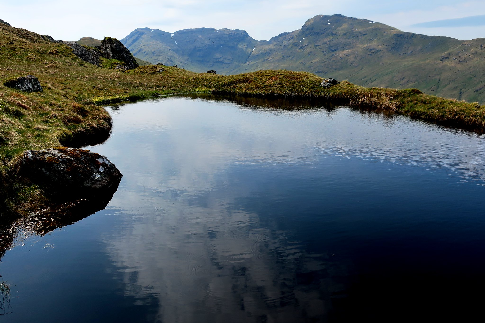
From there it was an easy plod up to the pond on the Grey Height - Beinn a'Chroin and An Caisteal in the background.
 . by Half Man Half Titanium, on Flickr
Beinn Dorain in the distance, with the faint outlines of the main Blackmount summits to its left.
 . by Half Man Half Titanium, on Flickr
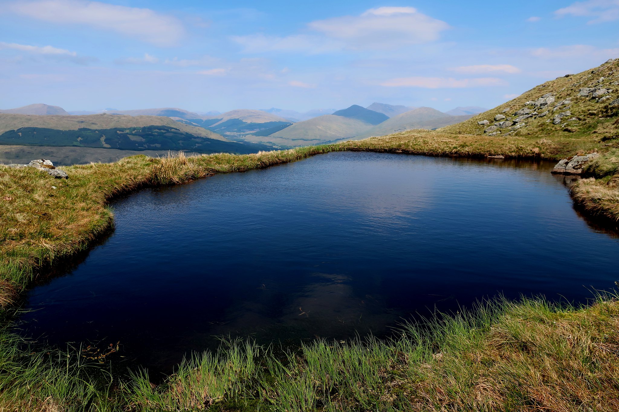
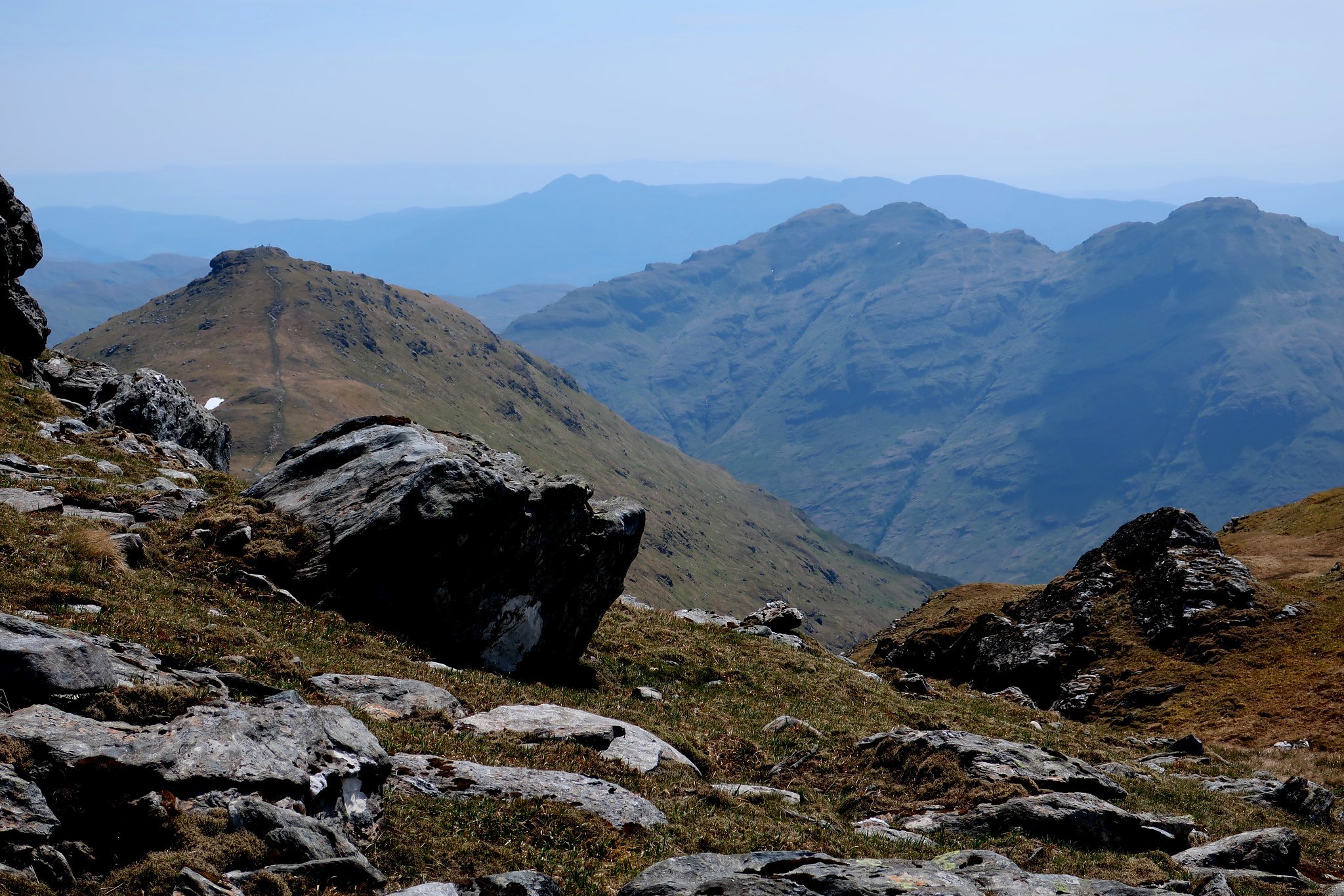
Cruach Ardrain from the Grey Height.
 . by Half Man Half Titanium, on Flickr
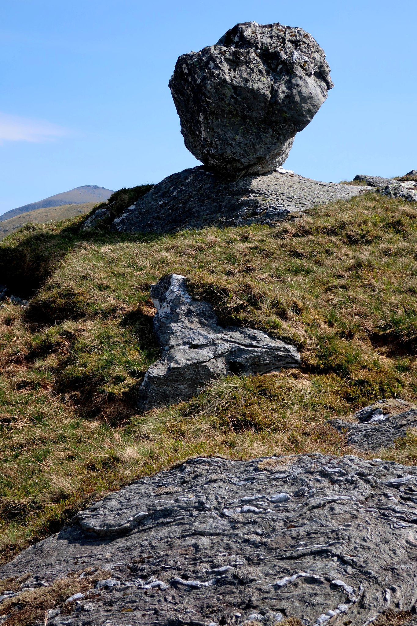
Large balanced boulder and a glimpse of Ben More.
 . by Half Man Half Titanium, on Flickr
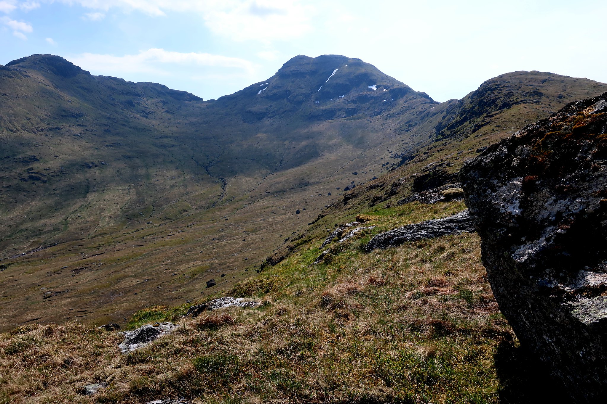
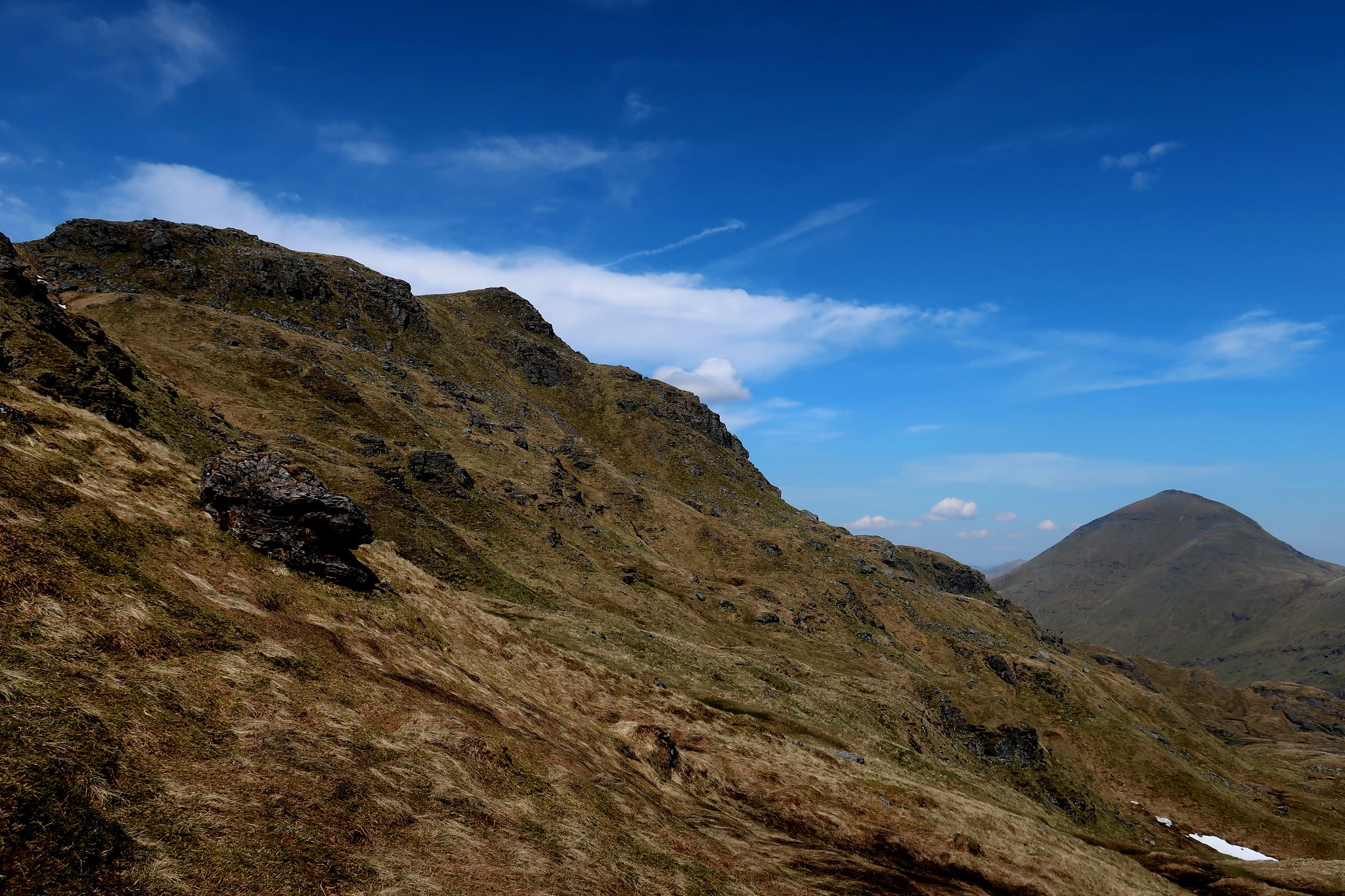
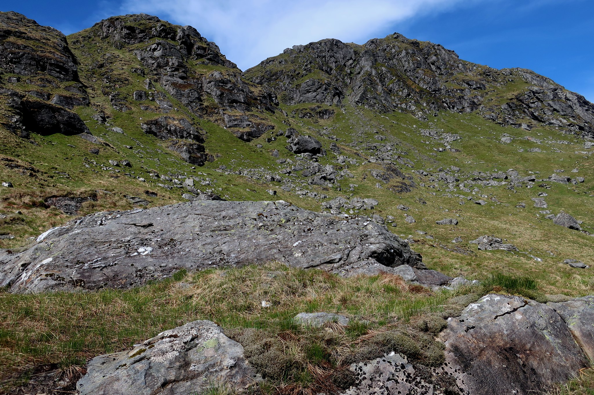
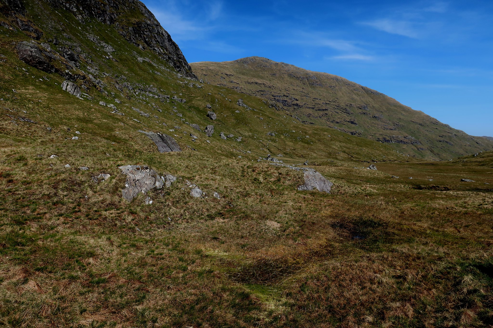
The path over Meall Dhamh was easy, but from the col beyond, Cruach Ardrain's summit pyramid loomed up imposingly. However the path is easy: it slants up the western flank of the pyramid to meet the ridge path coming from Beinn Tulaichean, and from the saddle it is a short step to the interesting small crags of the summit knolls.
Beinn Tulaichean and Stob a'Choin can be seen in the background of this shot.
 . by Half Man Half Titanium, on Flickr
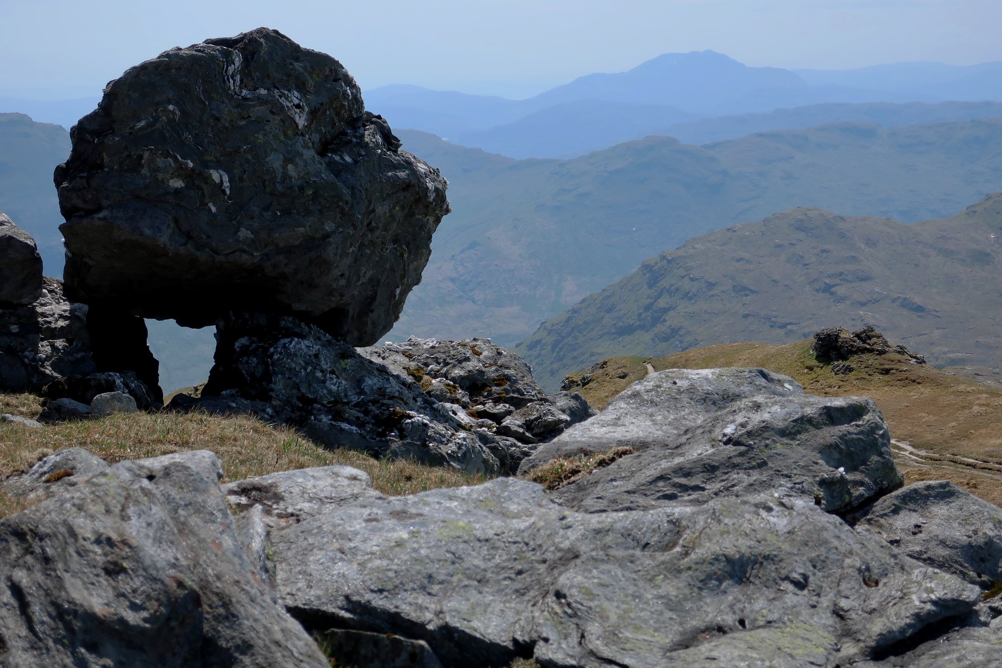
A view towards Ben Lomond from a perched boulder near the summit.
 . by Half Man Half Titanium, on Flickr
Three distant walkers under the boulder.
 . by Half Man Half Titanium, on Flickr
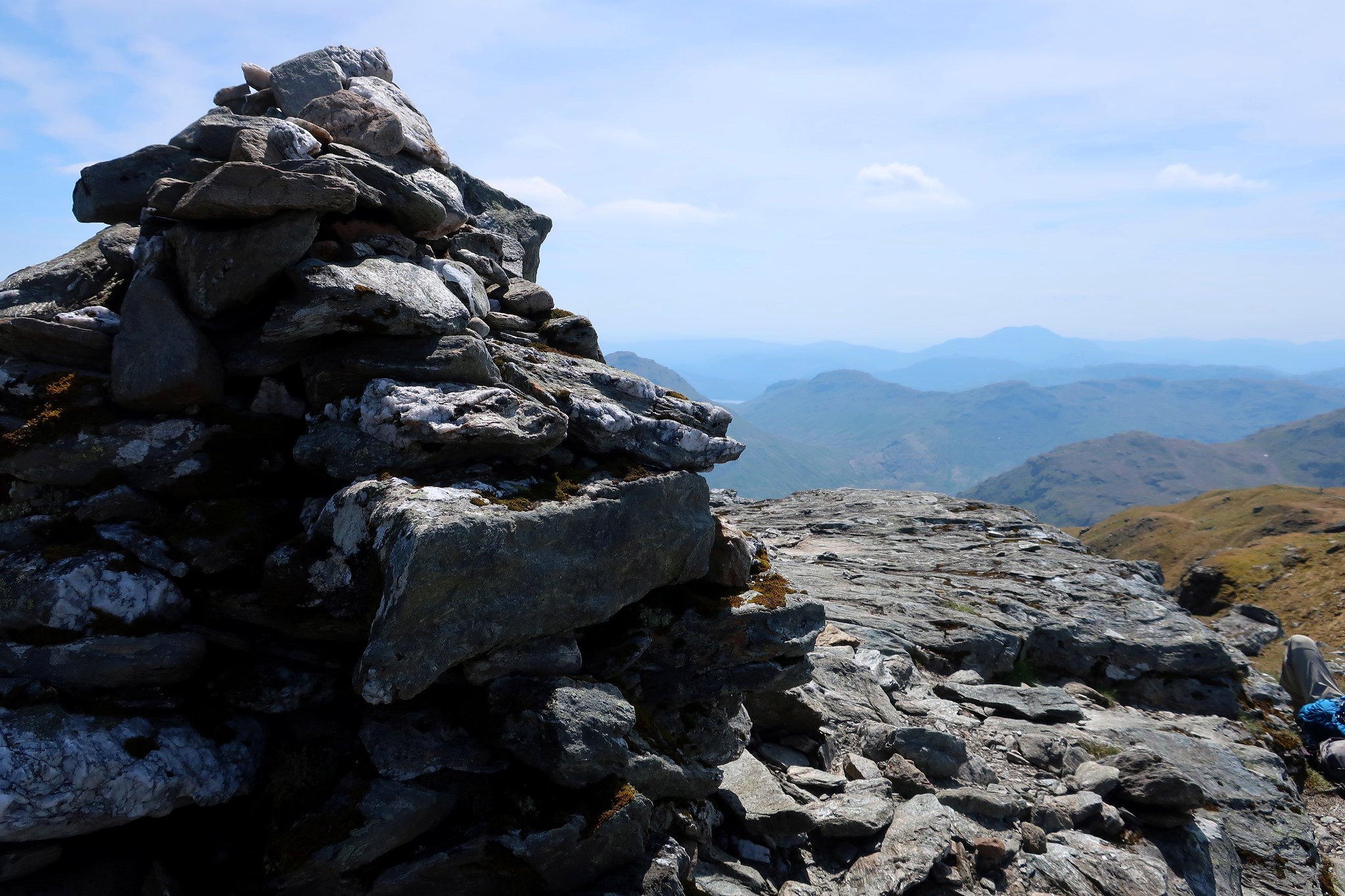
The summit cairn, Ben More and Stob Binnein.
 . by Half Man Half Titanium, on Flickr
South to Ben Lomond
 . by Half Man Half Titanium, on Flickr
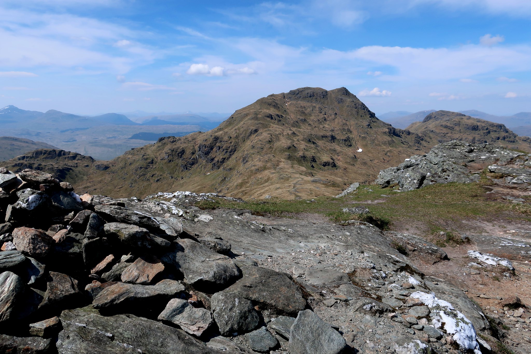
Looking back to Cruach Ardrain from the Beinn Tulaichean path.
 . by Half Man Half Titanium, on Flickr
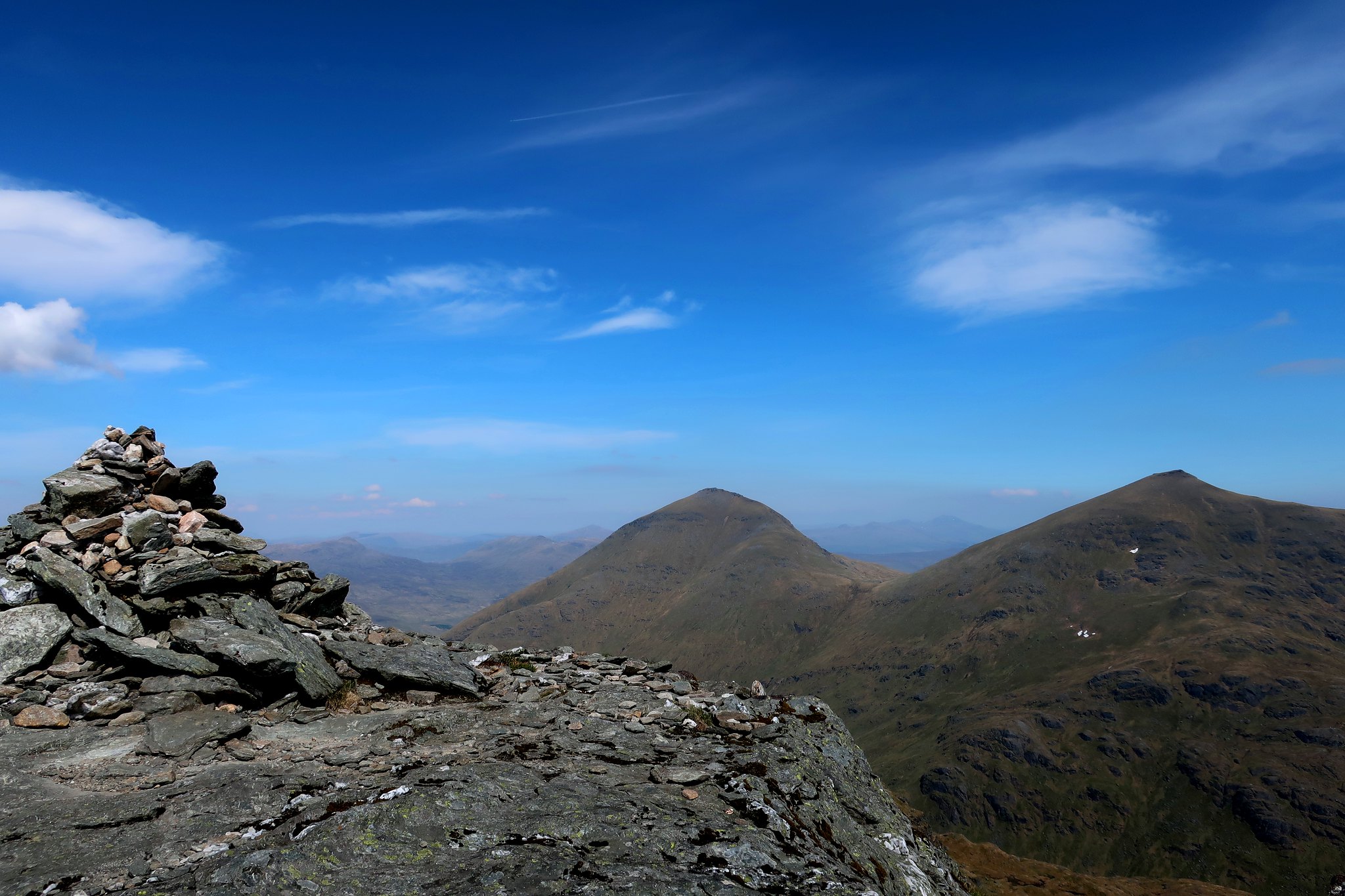
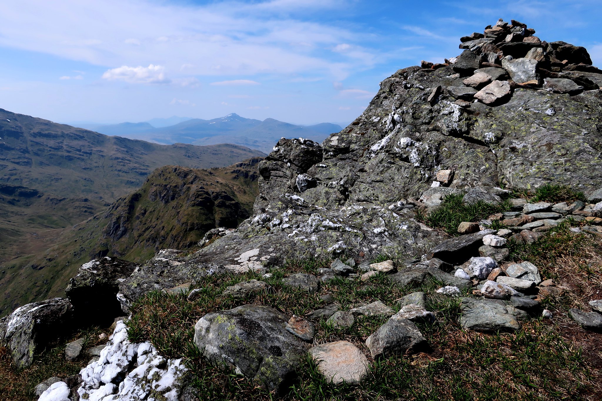
The summit cairn of Beinn Tulaichean, Ben Lui in the background.
 . by Half Man Half Titanium, on Flickr
North to Cruach Ardrain.
 . by Half Man Half Titanium, on Flickr
I've not included the view towards Ben More and Stob Binnein from Beinn Tulaichean. It is already covered by the photo with the best caption on the whole of Walkhighlands.
(scroll down the page https://www.walkhighlands.co.uk/Forum/viewtopic.php?f=9&t=77622 to find out what it says!)
I headed back a little along the ridge, then descended easy grass slopes into Coire Earb. I was relieved to see that my descent route looked as easy and pleasant underfoot as I'd pictured it from looking at the map - down into the corrie, then contouring around the foot of the crags in the middle distance.
 . by Half Man Half Titanium, on Flickr
The lush grass of Coire Earb.
 . by Half Man Half Titanium, on Flickr
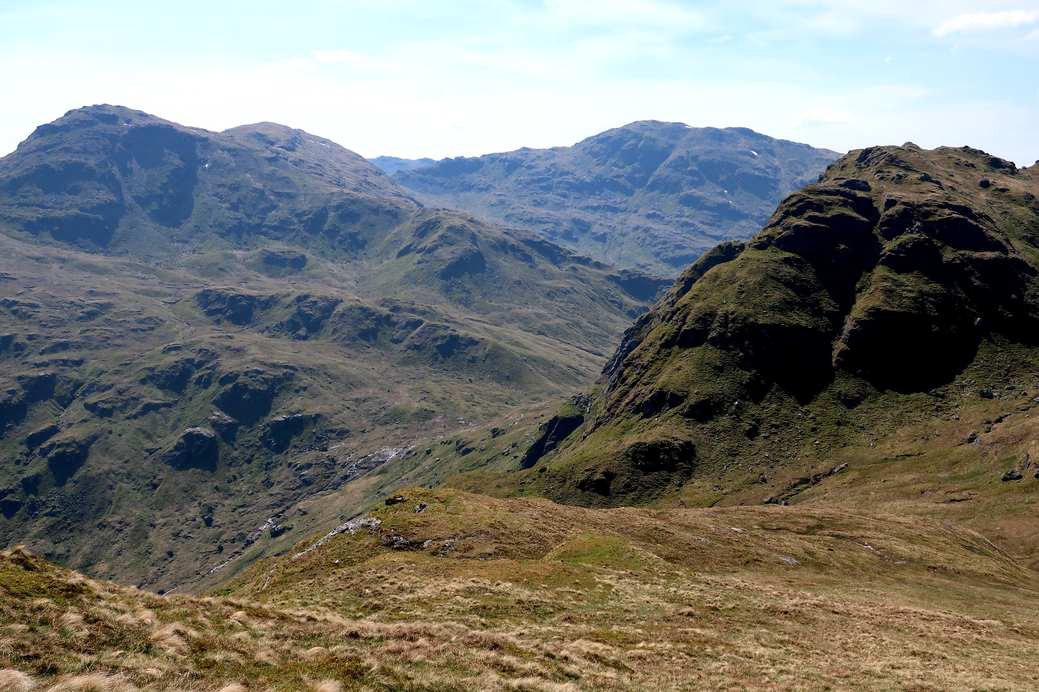
Looking south from below the crags to Stob a'Choin, a hill I have my eye on for my next visit to this area!
 . by Half Man Half Titanium, on Flickr
The crags of Stob Glas which I traversed under. Nice easy grass ledges all the way.
 . by Half Man Half Titanium, on Flickr
Beinn a'Chroin and the headwaters of the Ishag Burn.
 . by Half Man Half Titanium, on Flickr
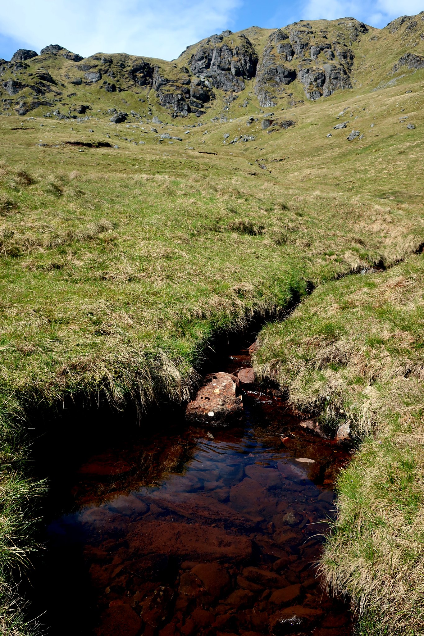
Not the most fascinating photo, but this is the watershed of Scotland. From the soggy patch in the foreground, water flows west to the Firth of Clyde and east to the Firth of Forth. Beinn Tulaichean in the background.
 . by Half Man Half Titanium, on Flickr
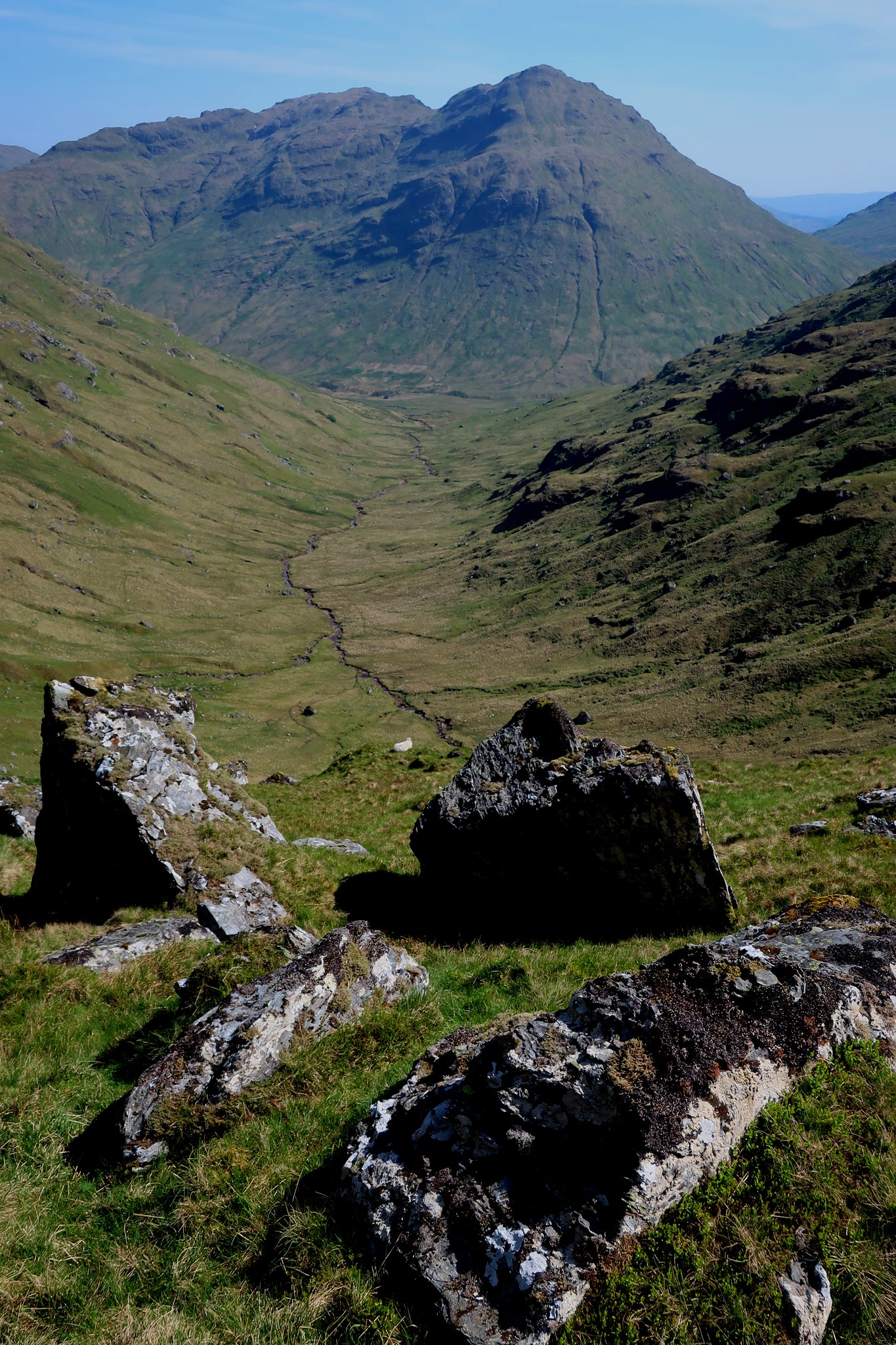
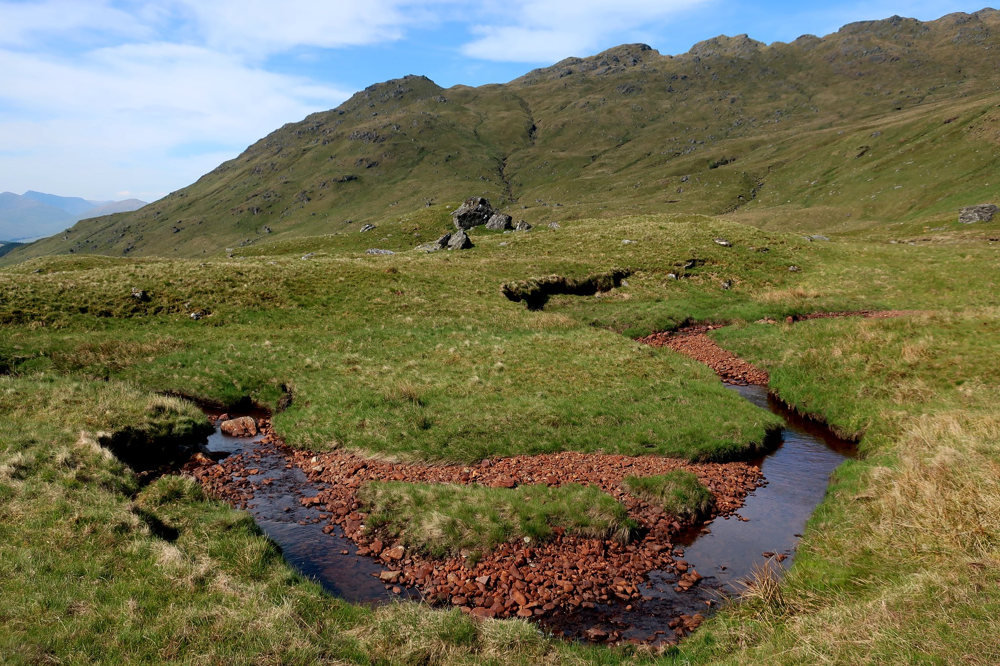
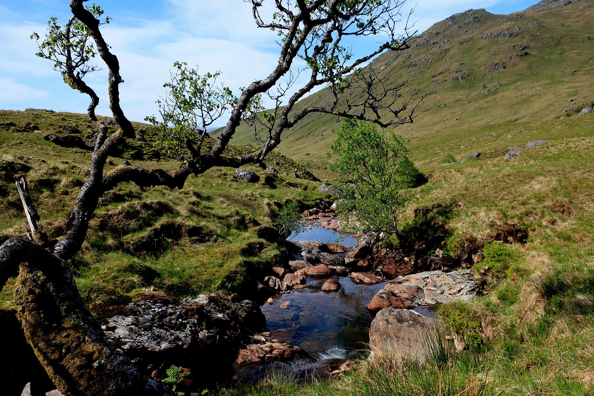
I looked out for the formations marked intriguingly on the map at "The Grips" and "The Convention" but couldn't see anything remarkable. However this bend in the Falloch among red (sandstone?) boulders was quite a surprise amid so much schist. My route of ascent, the NW ridge of Cruach Ardrain, forms the skyline.
 . by Half Man Half Titanium, on Fl
Beinn a'Chroin above the head of Glen Falloch and another Coire Earb. From here the hill looks totally flat-topped. It's very different when you are actually on it!
 . by Half Man Half Titanium, on Flickr
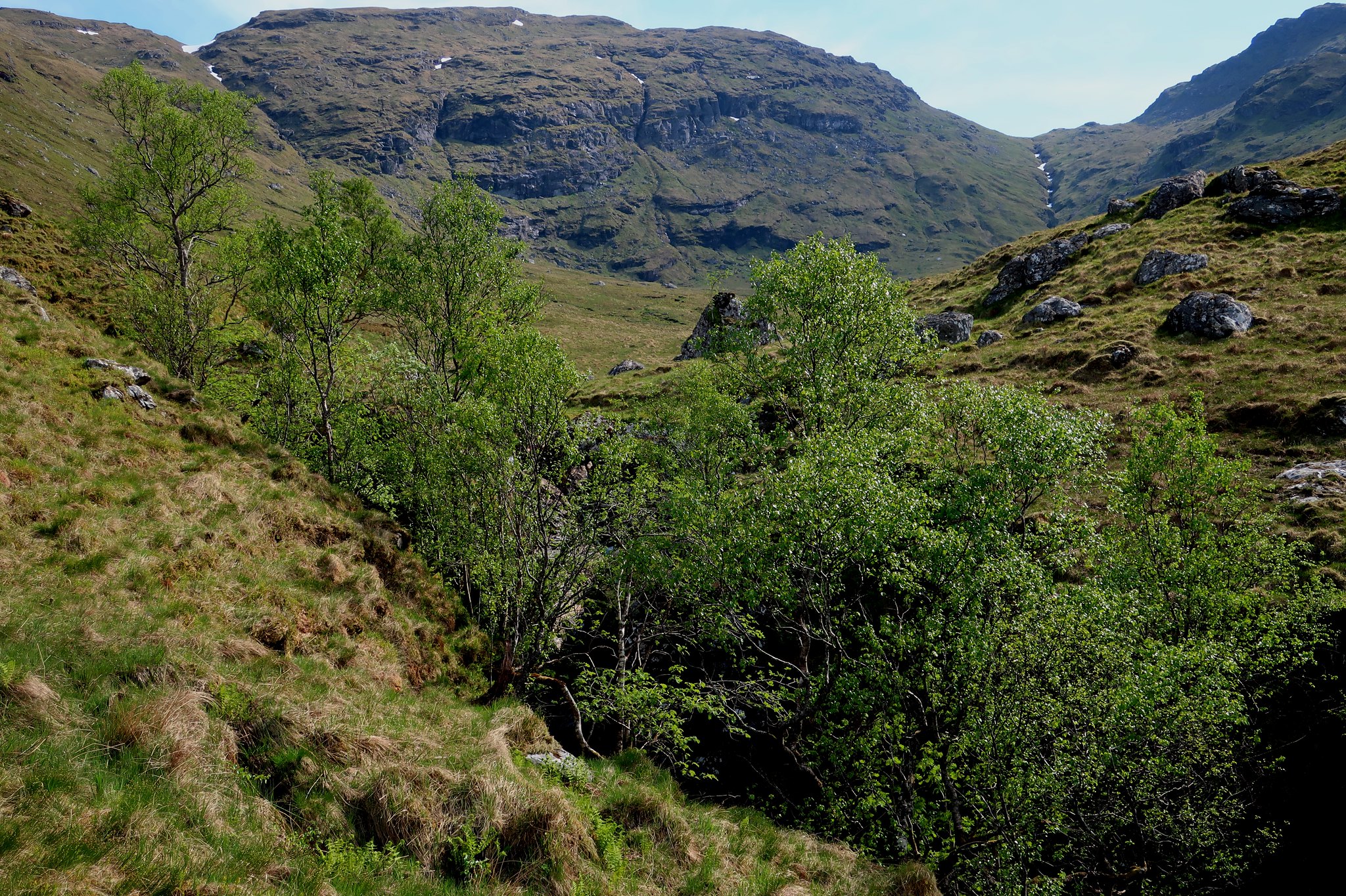
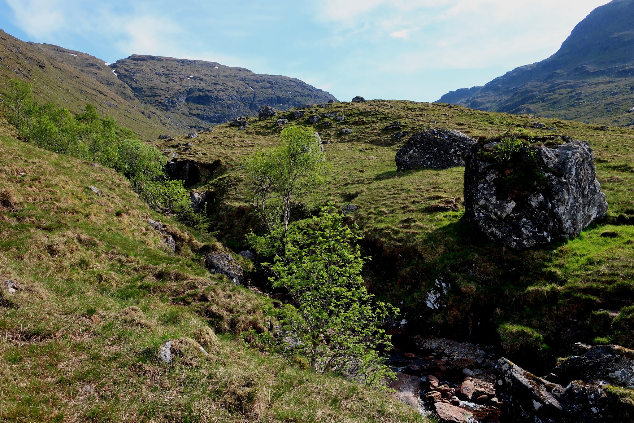
More views of upper Glen Falloch.
 . by Half Man Half Titanium, on Flickr
 . by Half Man Half Titanium, on Flickr
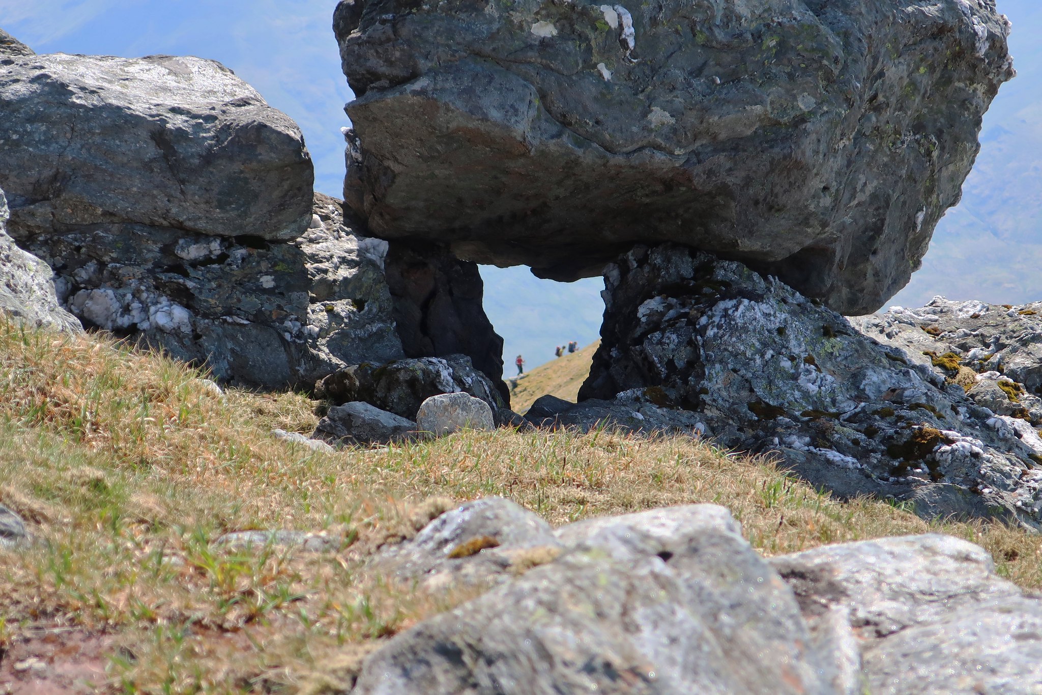
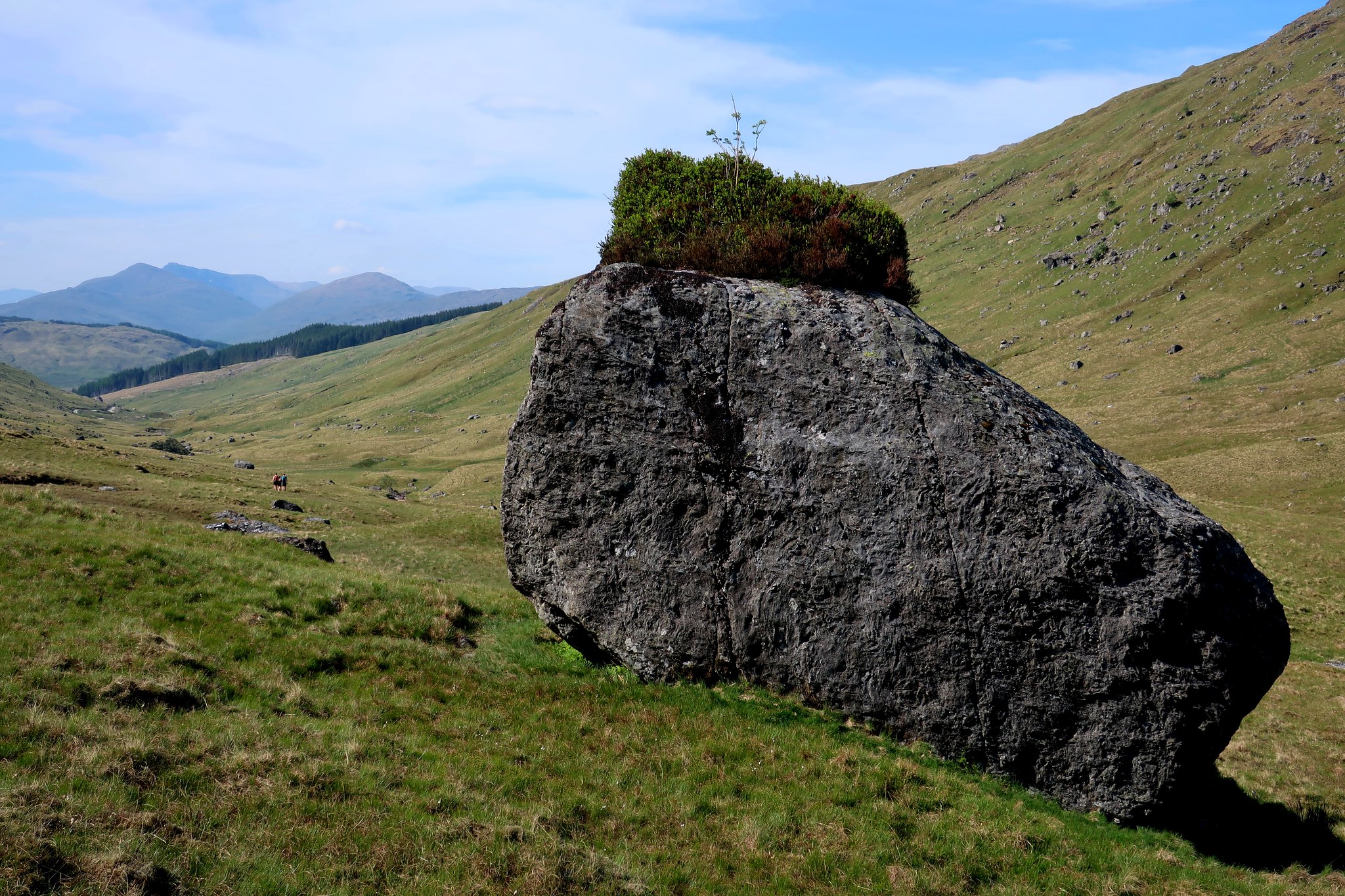
So many photos of this boulder on WH, maybe it even has its own hashtag
 IMG_5115 by Half Man Half Titanium, on Flickr
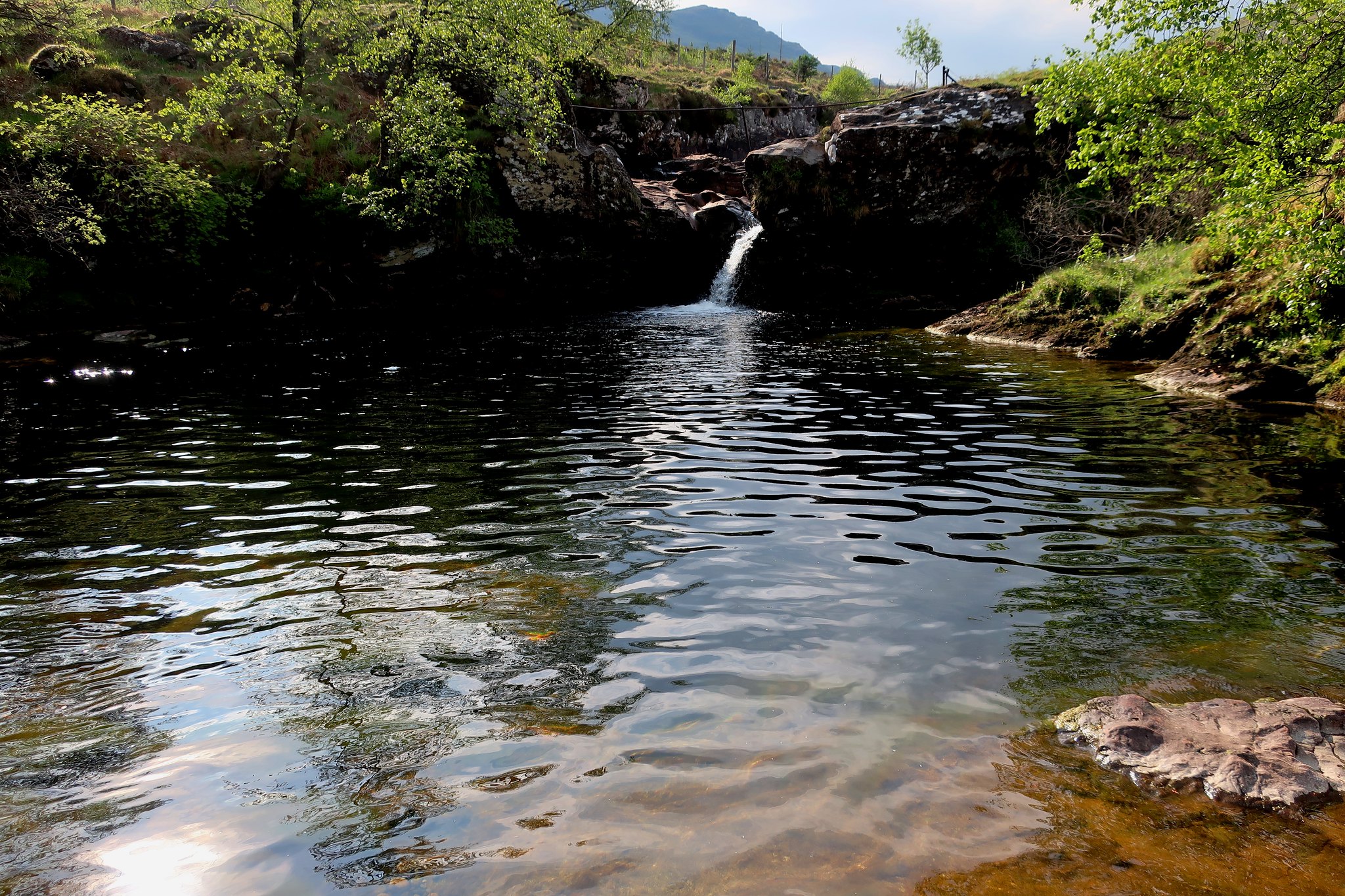
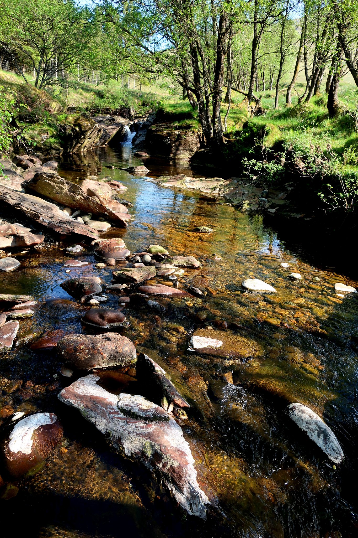
River Falloch again, idyllic in the warm afternoon sun.
 IMG_5121 by Half Man Half Titanium, on Flickr
 . by Half Man Half Titanium, on Flickr
. by Half Man Half Titanium, on FlickrCruach Ardrain always seems to me like the parent hill of Crianlarich, so it seemed the natural walk to do the next day. I decided to approach, and descend, by Glen Falloch, and also take the opportunity to explore the less known area overlooking the Braes of Balquhidder.
I had my usual early start and enjoyed the beautiful early morning scenes among the woodland along the River Falloch.
. by Half Man Half Titanium, on Flickr. by Half Man Half Titanium, on Flickr. by Half Man Half Titanium, on FlickrFrom there it was an easy plod up to the pond on the Grey Height - Beinn a'Chroin and An Caisteal in the background.
. by Half Man Half Titanium, on FlickrBeinn Dorain in the distance, with the faint outlines of the main Blackmount summits to its left.
. by Half Man Half Titanium, on FlickrCruach Ardrain from the Grey Height.
. by Half Man Half Titanium, on FlickrLarge balanced boulder and a glimpse of Ben More.
. by Half Man Half Titanium, on FlickrThe path over Meall Dhamh was easy, but from the col beyond, Cruach Ardrain's summit pyramid loomed up imposingly. However the path is easy: it slants up the western flank of the pyramid to meet the ridge path coming from Beinn Tulaichean, and from the saddle it is a short step to the interesting small crags of the summit knolls.
Beinn Tulaichean and Stob a'Choin can be seen in the background of this shot.
. by Half Man Half Titanium, on FlickrA view towards Ben Lomond from a perched boulder near the summit.
. by Half Man Half Titanium, on FlickrThree distant walkers under the boulder.
. by Half Man Half Titanium, on FlickrThe summit cairn, Ben More and Stob Binnein.
. by Half Man Half Titanium, on FlickrSouth to Ben Lomond
. by Half Man Half Titanium, on FlickrLooking back to Cruach Ardrain from the Beinn Tulaichean path.
. by Half Man Half Titanium, on FlickrThe summit cairn of Beinn Tulaichean, Ben Lui in the background.
. by Half Man Half Titanium, on FlickrNorth to Cruach Ardrain.
. by Half Man Half Titanium, on FlickrI've not included the view towards Ben More and Stob Binnein from Beinn Tulaichean. It is already covered by the photo with the best caption on the whole of Walkhighlands.
(scroll down the page https://www.walkhighlands.co.uk/Forum/viewtopic.php?f=9&t=77622 to find out what it says!)
I headed back a little along the ridge, then descended easy grass slopes into Coire Earb. I was relieved to see that my descent route looked as easy and pleasant underfoot as I'd pictured it from looking at the map - down into the corrie, then contouring around the foot of the crags in the middle distance.
. by Half Man Half Titanium, on FlickrThe lush grass of Coire Earb.
. by Half Man Half Titanium, on FlickrLooking south from below the crags to Stob a'Choin, a hill I have my eye on for my next visit to this area!
. by Half Man Half Titanium, on FlickrThe crags of Stob Glas which I traversed under. Nice easy grass ledges all the way.
. by Half Man Half Titanium, on FlickrBeinn a'Chroin and the headwaters of the Ishag Burn.
. by Half Man Half Titanium, on FlickrNot the most fascinating photo, but this is the watershed of Scotland. From the soggy patch in the foreground, water flows west to the Firth of Clyde and east to the Firth of Forth. Beinn Tulaichean in the background.
. by Half Man Half Titanium, on FlickrI looked out for the formations marked intriguingly on the map at "The Grips" and "The Convention" but couldn't see anything remarkable. However this bend in the Falloch among red (sandstone?) boulders was quite a surprise amid so much schist. My route of ascent, the NW ridge of Cruach Ardrain, forms the skyline.
. by Half Man Half Titanium, on FlBeinn a'Chroin above the head of Glen Falloch and another Coire Earb. From here the hill looks totally flat-topped. It's very different when you are actually on it!
. by Half Man Half Titanium, on FlickrMore views of upper Glen Falloch.
. by Half Man Half Titanium, on Flickr. by Half Man Half Titanium, on FlickrSo many photos of this boulder on WH, maybe it even has its own hashtag
IMG_5115 by Half Man Half Titanium, on FlickrRiver Falloch again, idyllic in the warm afternoon sun.
IMG_5121 by Half Man Half Titanium, on Flickr. by Half Man Half Titanium, on Flickr