free to be able to rate and comment on reports (as well as access 1:25000 mapping).
This Saturday had been planned as walking day for a week or so, the original plan was to meet up with Martin who was north of the Border with his family, however thunderstorms forecast put paid to the plan to tackle Lochnagar and co. After checking the forecasts for all over Scotland, even the far NW to see if we could set foot on a Munro but the forecast was not favourable. So our meet up was cancelled and after checking the forecast south of the central belt I opted to make use of a 'full' day and head down just about as far as I could go. When travelling so far I like to make the trip worthwhile, so I looked at visiting as many "wee hills" as I could manage.
Anyone who has been tackling Marilyns will appreciate how planning is the key. Firstly there are hardly any suggested routes and each hill only has a couple of Walk Reports, the more popular ones obviously have more.
I planned to tackle 4 hills all fairly close to Gatehouse of Fleet. Having read all the WR's I then studied the map and for 3 of the 4 hills I created my own routes. The direct routes for Cairnharrow and Pibble Hill worked a treat, the route for Bengray was a bit of a struggle - more of that later. The route for White Top of Culreoch was fairly standard and rather obvious - on the map. However the maps, like most in the Borders are telling wee porkies, numerous forested areas have been decimated and for anyone who hasn't trampled over a deforested area, I can assure you it isn't much fun, which summed up Culreoch perfectly.
I was planning an early start as rain was forecast mid to late afternoon, so the alarm was set for 6am, as usual I woke up early and left Fife at 5.45, the satnav advised me it would take 2hrs 30mins to reach Gatehouse of Fleet, so that accounts for 5 hours of the day before I even start walking. One other thing I should mention is the SEAT satnav, it really is absolute rubbish - unless of course I am not using it properly. My last satnav was a Garmin and would take co-ordinates which makes finding parking spots and start points very easy. I have resorted to the old fashioned method of typing out directions which I try and incorporate with looking at the satnav map. I missed a few wrong turns and spent far too long dithering around trying to locate my designated starting points. I also had my phone on the dash which was assisting me find the start for each of the hills. In fairness to the satnav, the majority of the starts are all on unclassified roads.
Cairnharrow
I arrived at my start point for Cairnharrow, having taken one of my wrong turns and ended up at the parking area for Cairnholy Cairns, where the majority seem to use a the start point for Cairnharrow.

Nice parking spot, could get a couple of cars squished in
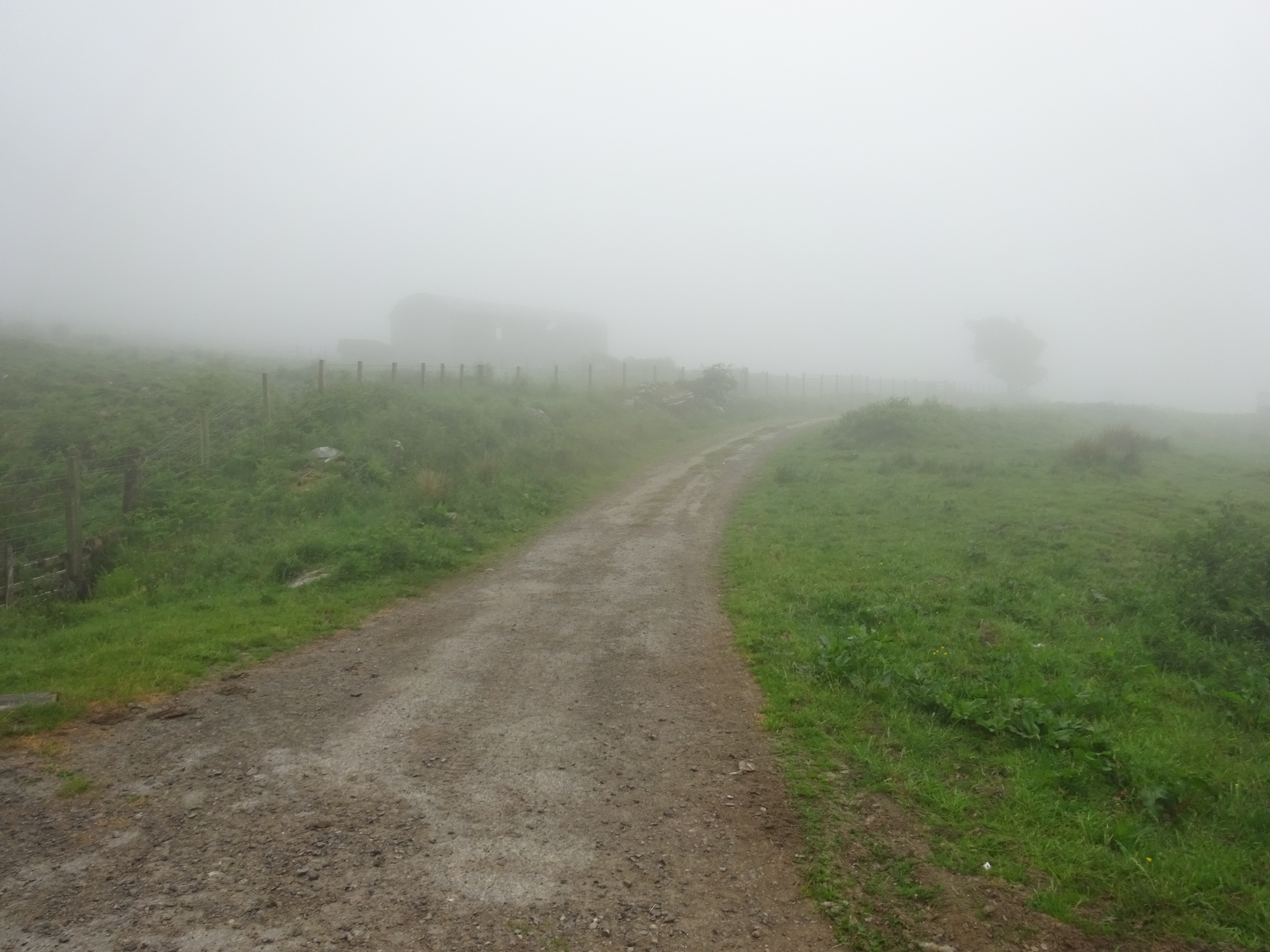
Looking back down the road, visibility not very good

I set off on my way at 8.30 and everything was damp and the bracken was determined to make sure I would get damp too.

The plan is to follow the wall uphill, ideally I would have liked to avoid the bracken
Hindsight is a great thing and if I was starting off again I would definitely had put on my waterproof trousers. I did have gaiters on but the bracken succeeded in making sure I got a good soaking. Gaiters generally keep water out of your boots, but when the bracken is over your knees it is only a matter of time before my feet were wet.
Looking back I would say Cairnharrow was the best hill out of the four. Navigation was easy as the walls lead you all the way to the summit, I did walk on both sides of the wall and for anyone following in my footsteps, stay on the left, especially as the wall is about 4ft high all the way up.

Looking back, the car is parked near the only building in the distance

Undulating terrain. also highlights the height of the wall

Summit trig on Cairnharrow

Cairn on the other side of the wall, looks higher
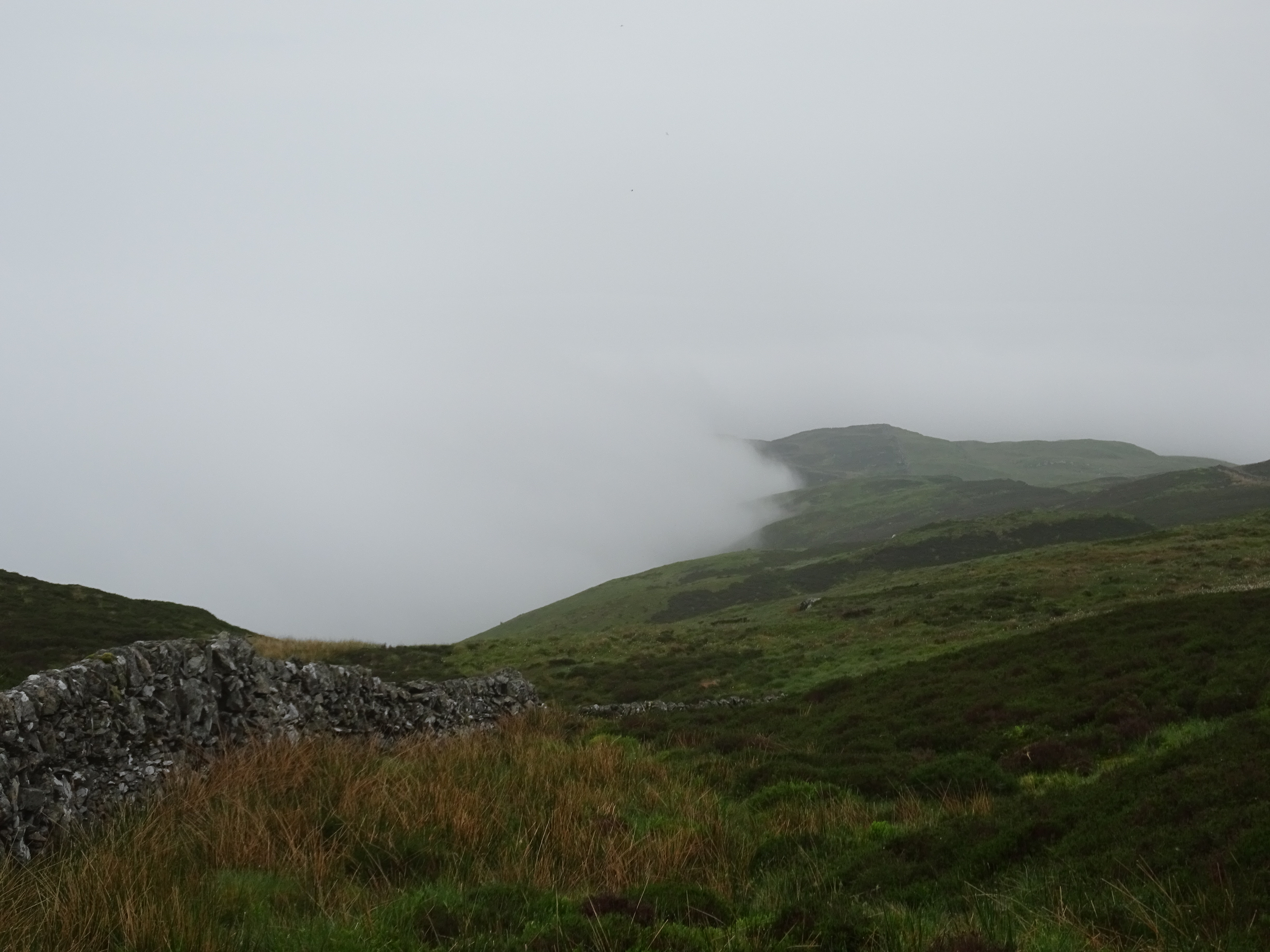
Cloud hugging the hills on the descent

More interesting cloud formations
On the descent I was able to avoid the bracken by staying to the north of it, the beauty of being able to see ahead. Once back at the car I kept my boots on and set off to find the start point for my next hill the wonderfully named Pibble Hill.
Pibble Hill
The drive from Cairnharrow took me into Creetown and yet another wrong turn, but I eventually found the unclassified round that would take me NE to my start point. All the other WR's tackle Pibble from the south, I was going to tackle her from the north as it looked fairly straightforward. There is a car park on the map but I couldn't be bothered hunting for it, like everywhere else in the Borders the loggers have been in the area. I carefully parked at a large track entrance and my start point is across the road.

My carefully parked car, note the yellow industrial vehicles parked nearby

The unclassified road, the start is on the track where the wooden gates are

The track I would follow initially, plenty of felling evidence on the track

This timber either didn't make the grade or they forgot it, been there a while now

Not a pretty sight, even in the poor visibility
Doesn't look very safe

Funnily enough I wasn't tempted to clamber up, especially as the visibility wasn't very good

What a mess?

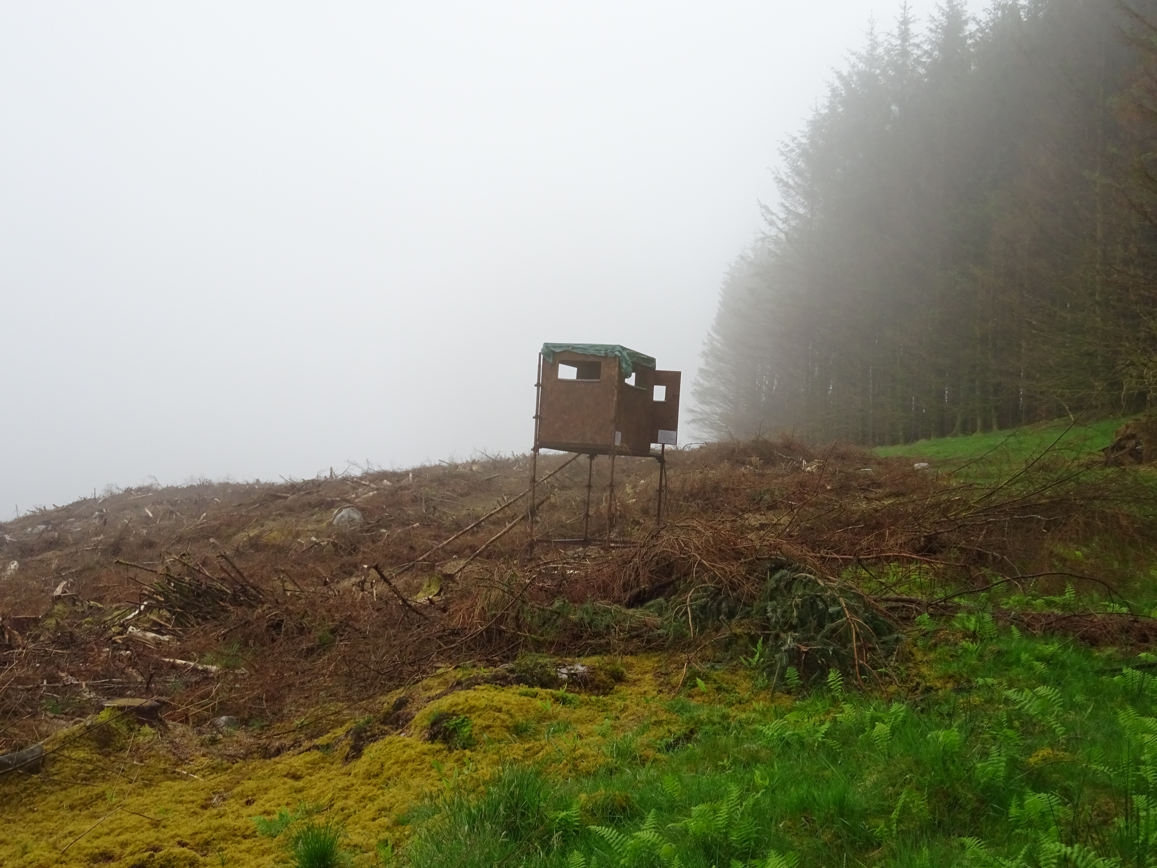
The track only lasts for about 1km, now it is time to go off piste and familiar territory for me

A nice wide fire break and the good news was no obstacles in the way

At the end of the fire break I reached a fence, where I turned left and headed south following the edge of the trees

Here we go again, am beginning to dislike bracken
Steepest bit of the day, certainly highlights the angle of ascent quite well, doesn't last too long though

After a few undulations I was hunting for the summit and then spotted the obvious cairn

Photo without my poles

Descent time, found a nice gully that would take me back to the forest

A few dead trees on the edge of the forest, didn't see them on the way!!
Back at the car once again I kept my boots on and set off to try and find my next start point. My typed out instructions had me taking a slightly shorter route by a very minor road, problem was I never even saw it and ended up In Gatehouse of Fleet. I then headed north on the Laurieston road and this was the most improvising parking space.
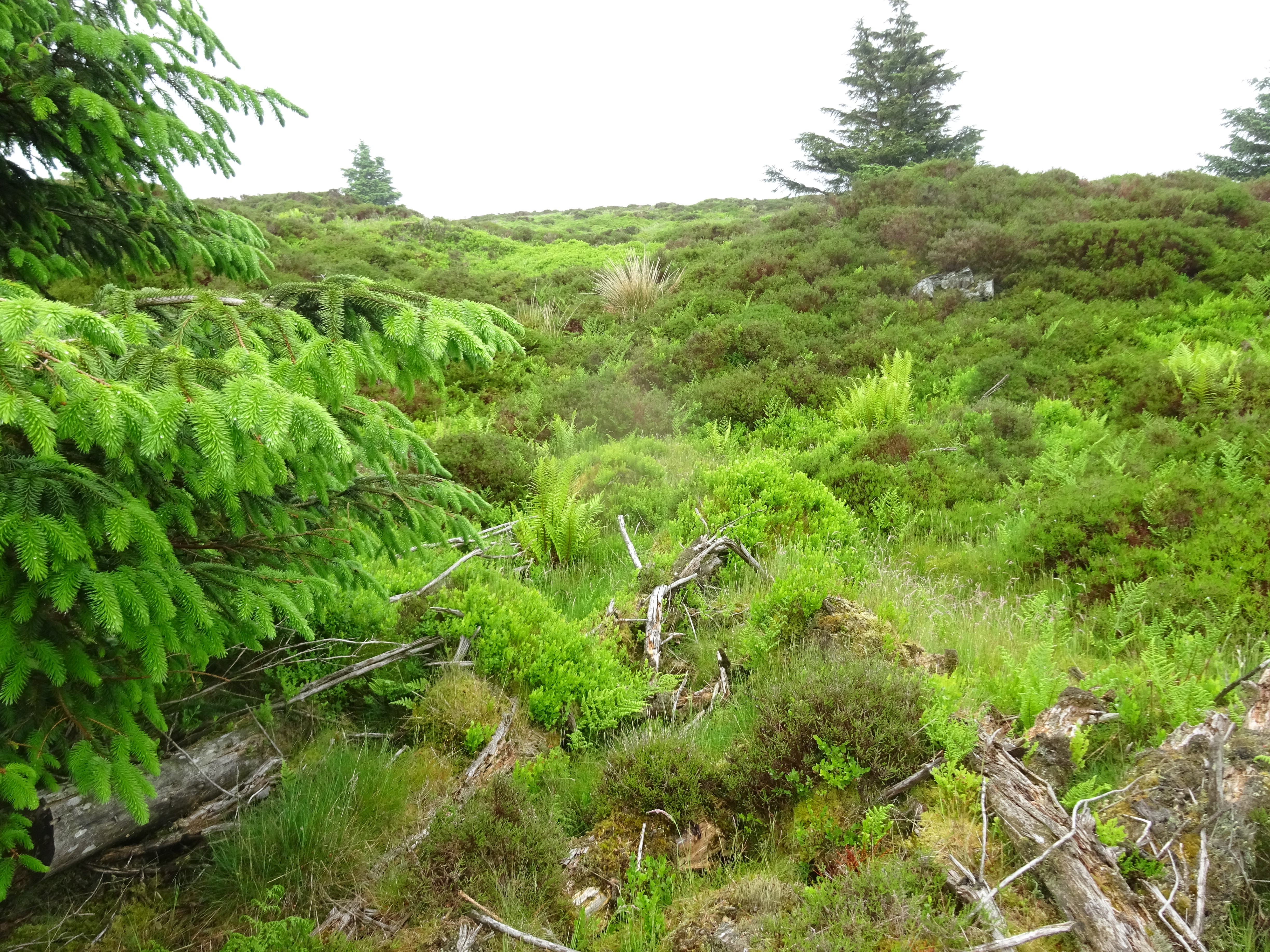
I parked my car carefully again at the entrance to High Creoch Farm, ensuring there was enough room for any large farm vehicles to get past. Just after leaving the car and walking along the road to High Creoch the farmer was heading in the opposite direction in his 4 x 4, he stopped to enquire where I was heading and kind of hinted that he doesn't meet many walkers who tackle Bengray from this direction. After about 5 minutes of walking I could see why. I was walking across muddy fields that cows had been churning up, whilst picking my way across the quagmire I opted to stand on a nice round stone, not a good decision as when my wet boots met the wet shiny stone they didn't get on and next thing I was on my backside. I am not a fan of walking across fields that have livestock and as the visibilty wasn't particularly good I ended up traipsing over very undulating ground and that was before the main ascent started.
Bengray

You know just by looking at the type of grass the way ahead it is going to be boggy

Looking back, the farm house is just to the right of the trees

Here we go again, not quite as damp now as it is past midday

Note to self, bracken grows quite well in the Borders

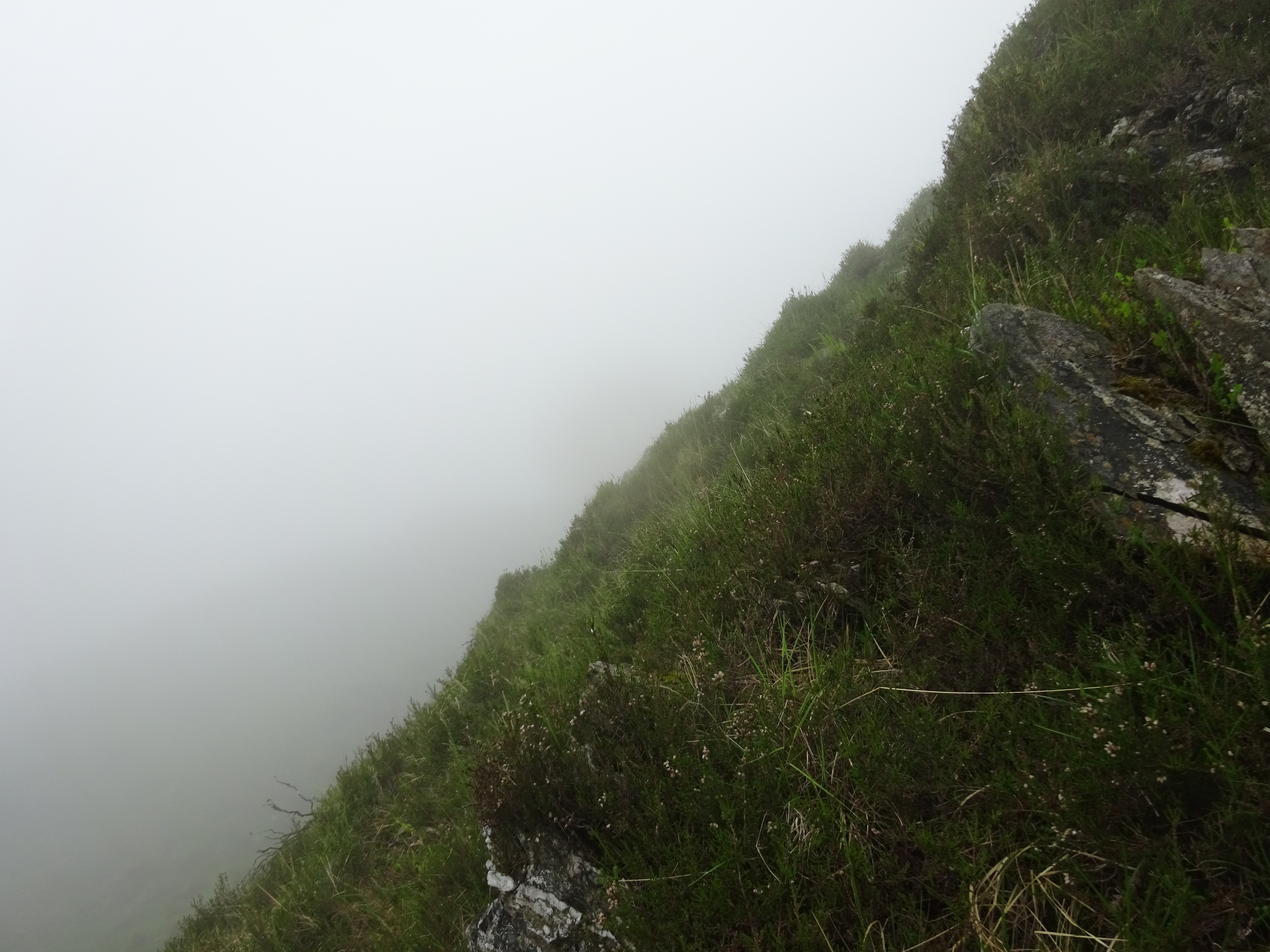
Looking back

Looking back from slightly higher, visibility getting worse

To access the summit, this fence has to be scaled
Once over the fence it doesn't get any easier as there is undergrowth and tree debris to negotiate

And here it is, the summit trig on Bengray

Visibility slightly better, looking east
I was so relieved to get back to the car, my plan was to change into my spare pair of socks and boots. I didn't have a towel to dry my feet so I improvised by using my fleece as it was surplus to requirements. I have to say drying my feet and putting nice dry socks was probably the highlight of the day and really did cheer me up for the last hill. The drive to the final parking place was the shortest drive only a couple of miles on the same road.
White Top of Culreoch
I found my start track for the last hill and actually cheated a wee bit by driving along the track for a few hundred metres and parked in a passing place or layby, I used it as a layby.

My final parking spot, bigger than plenty of laybys on A class roads

The way ahead, unfortunately going downhill, never a good thing when you start

After leaving the track I was expecting a forest, guess what no forest just the devastation that is left behind
I was expecting the final hill to be the easiest and shortest of the day, it turned out to be tricky in it's own way and my nice dry boots were not only filthy they were also getting damp.

Looking back and a familiar sight on the right of the photo. The track can just be seen

Pick your way through the mess

They missed one, not far from the summit now

The summit cairn, at least there is something to signify the summit. The amount of debris scattered around would make it difficult to ascertain the highest spot


Descended slightly more direct and came across this lot

Plenty of these on the ascent
Looking back it was an enjoyable day, but to be honest I won't be heading back down to visit any of these hills again. I arrived back home at 6pm just in time for my dinner. It does seem odd that it takes two and a half hours to reach the depths of the south west when I can probably reach Ullapool in the same time.
