free to be able to rate and comment on reports (as well as access 1:25000 mapping).
Pairc is one of the remotest parts of Scotland, consisting of the largely roadless section on the south east corner of Lewis. We had been encroaching into it between 2013 and 2017with reasonable trips to Ferihisival and Guainemol, and a longer one to Beinn Bhreac. Caiteshal, Ciphealgil Beag and Bein Mhor had their terrors removed by discovering that Shaun from the Bracadale Centre would ferry us across Loch Seaforth in his tiny boat. Now remained only Muaithabhal which is almost as hard to access as it is to spell, Gormol and Usinis. To date, there doesn't seem to be a WR on Walkhighlands for them
I had been negotiating with boatmen to drop us on the coast near Usinis and one by one they had backed out. Too far, need very low swell, would have to book the whole boat not just get dropped off on the way to the Shiants, beyond the scope of boat. However, Angus from Kilda Cruises had said that he could probably drop us off on the way the The Shiants. He had shown me on the forecasts how Wednesday looked better than Monday and said he would phone
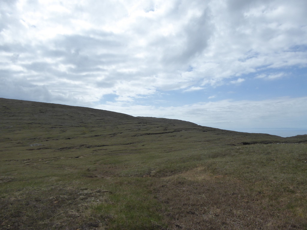
We started on Sunday 2nd June for Mouiathabhal. It was a cloudy day, as we set off from our rented cottage in Tarbert.
We parked at the gates of Eishken Lodge where midges were out in force,

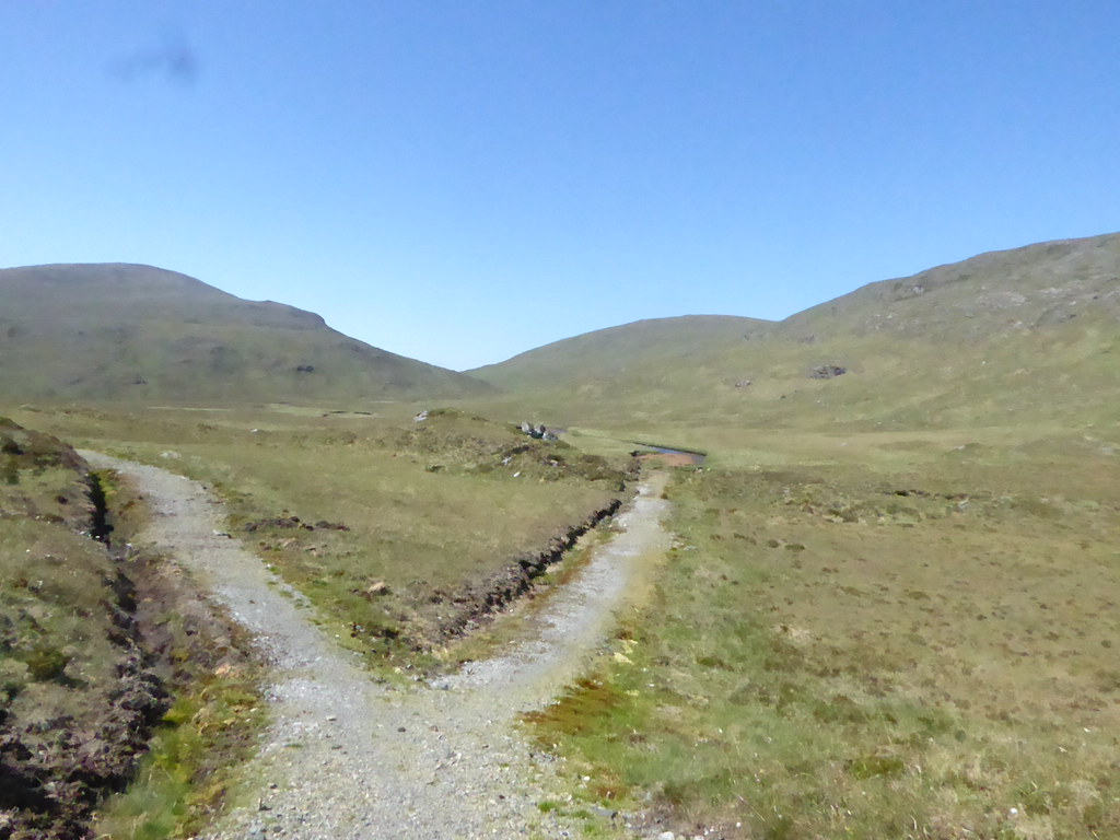
We made our way down the track with the electric gate, past the house and along the path that runs on the northern banks of Loch Sealg
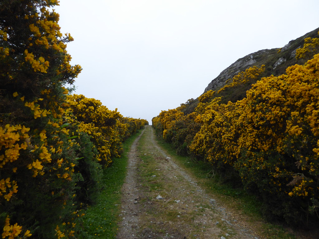
The gorse made a good shot at substituting for the sun
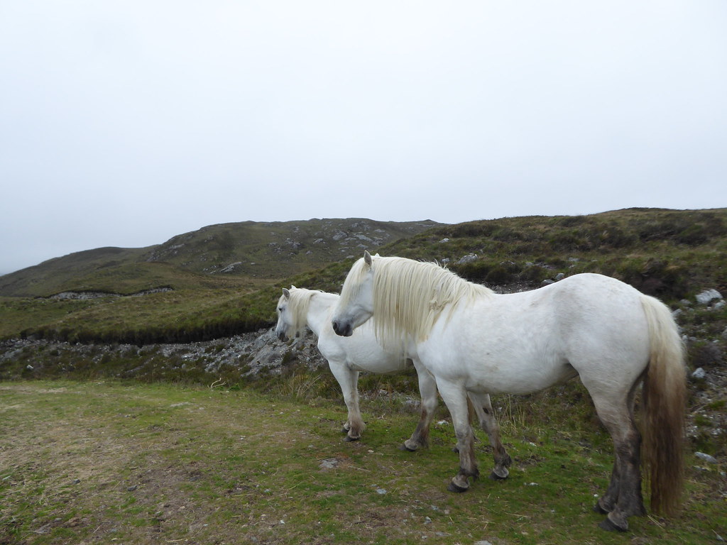
We met these horses
After a while the substantial lane becomes a more narrow path
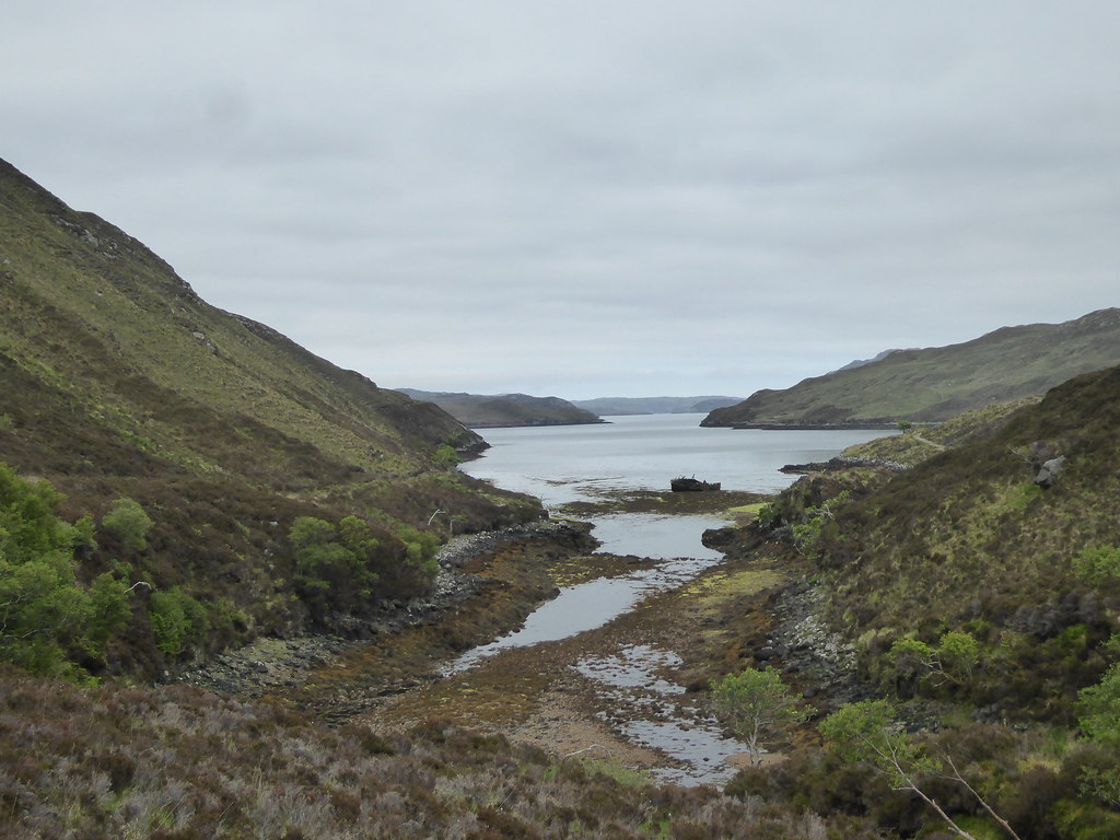
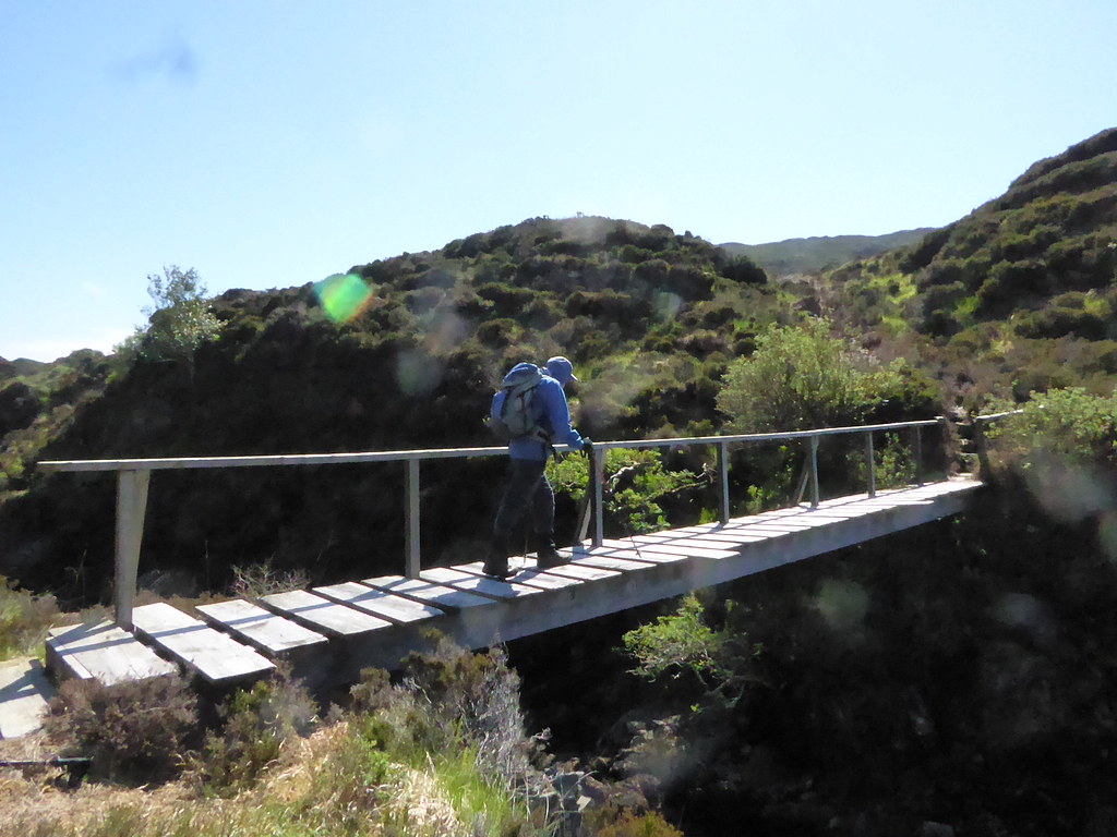
We arrived at a bridge,

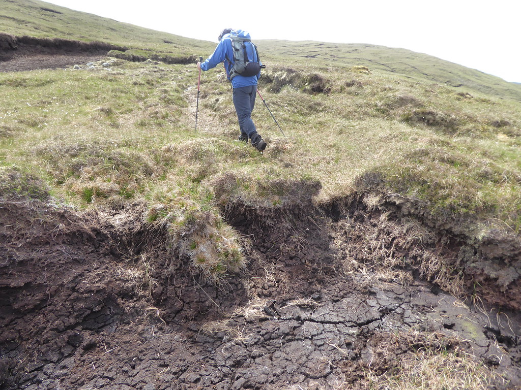
But we didn’t cross it (we should have…our visit to Gormol shows that it carries on the opposite side of the burn, then crosses it towards the foot of Muaithabhal, much less heather bashing). We made for the point at NB 276115 (Beinn na Uamha)

before carrying on to NB 270119
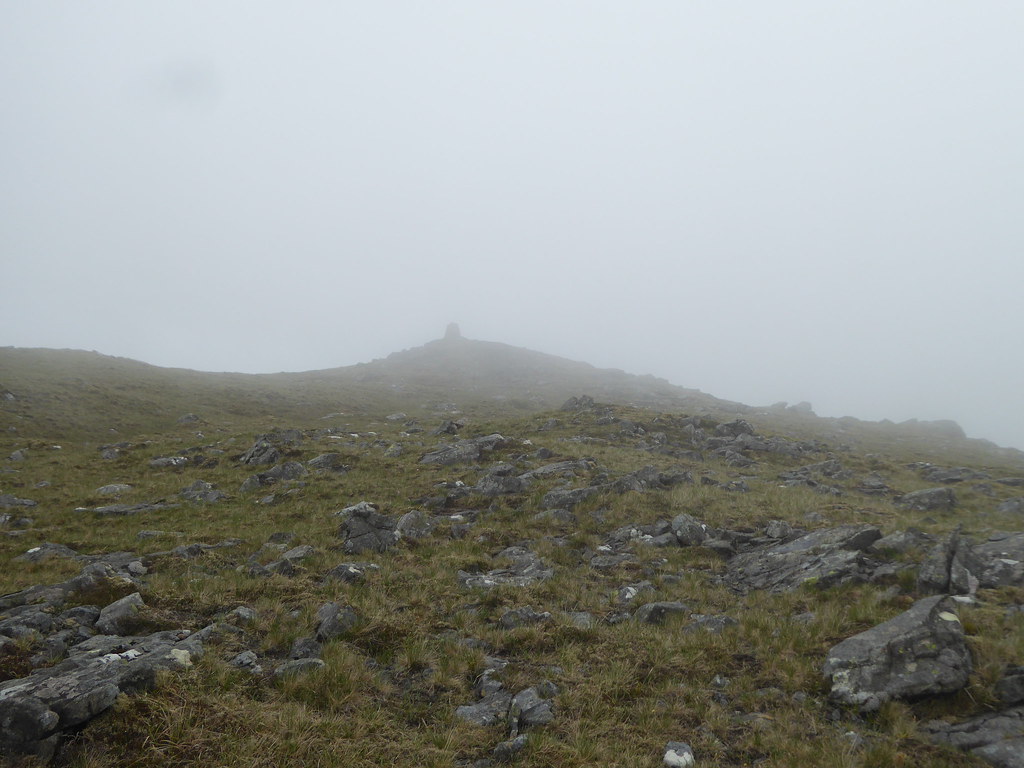
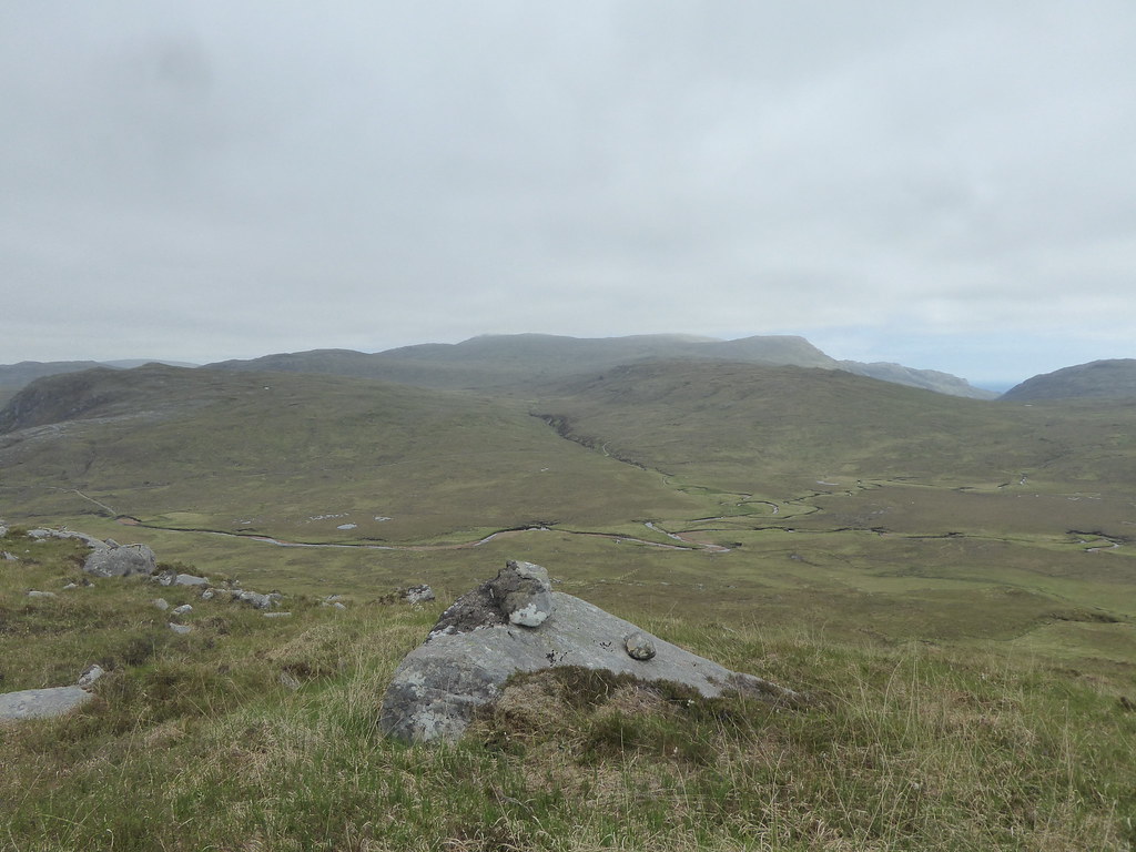
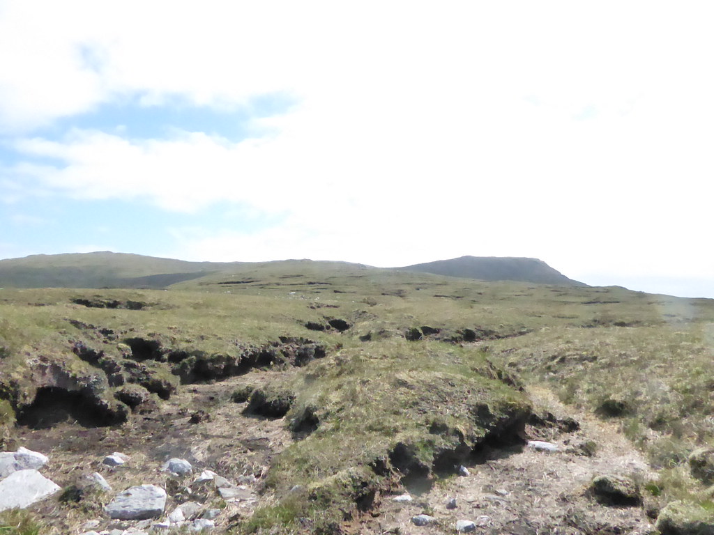
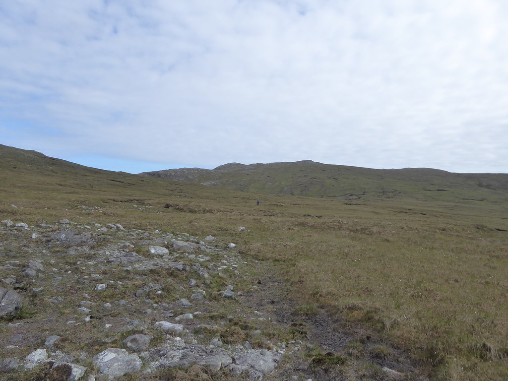
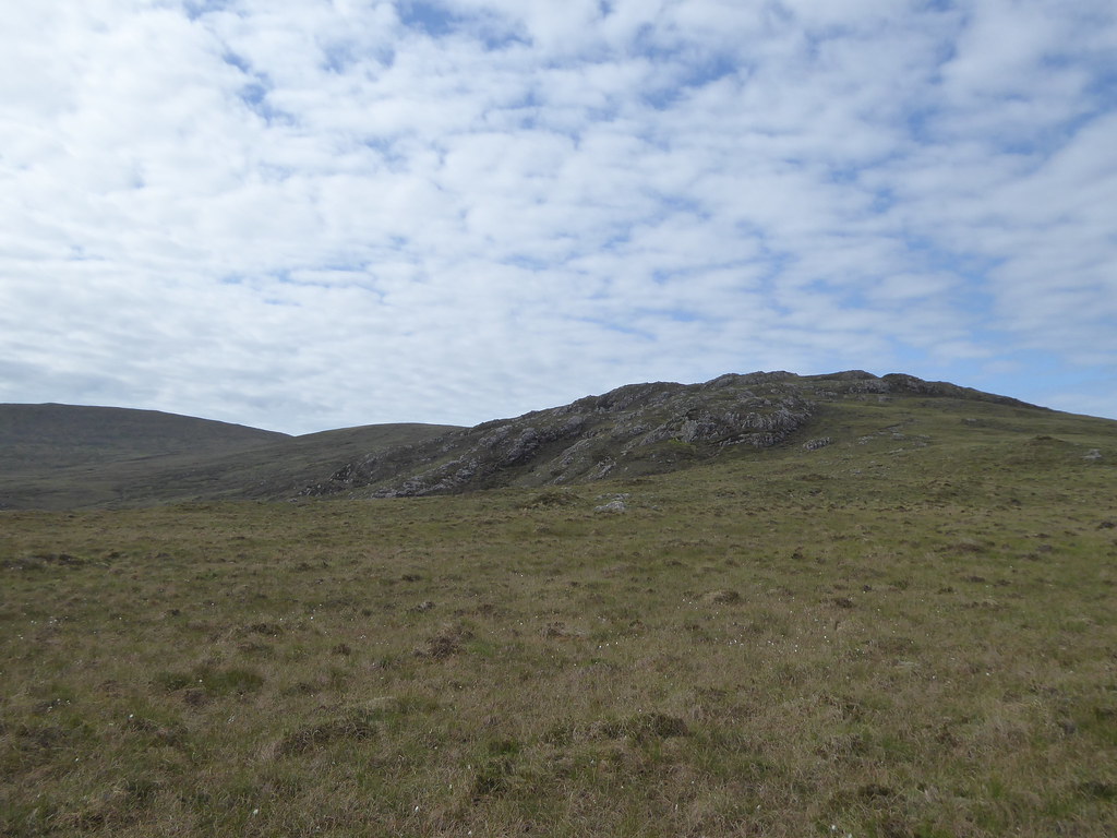
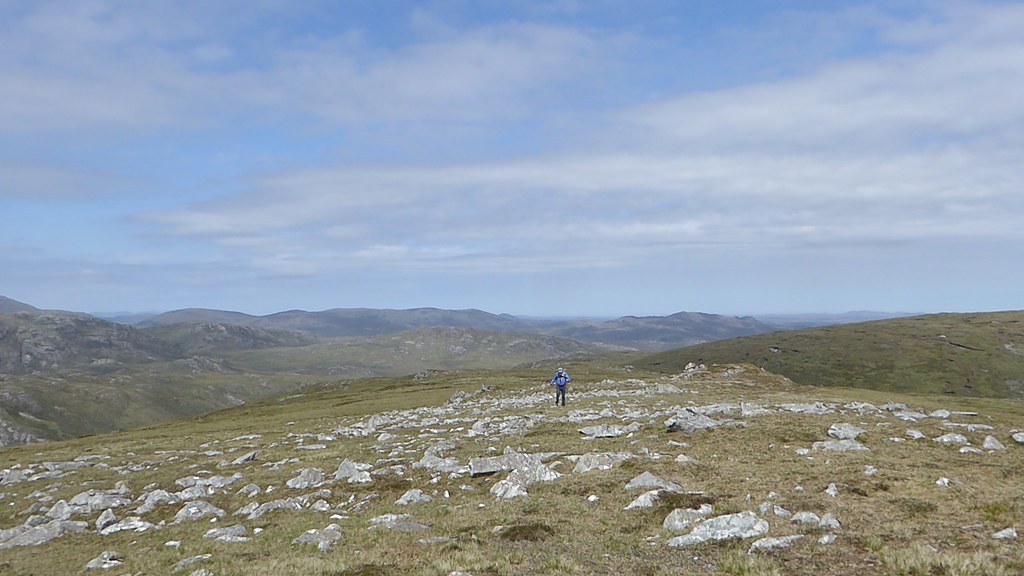
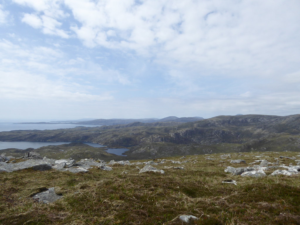
. The mist was down to this level, so we used compasses. Finally we headed for Mouaitheabhal itself, through all sorts of peat hags, by which time the mist was lifting
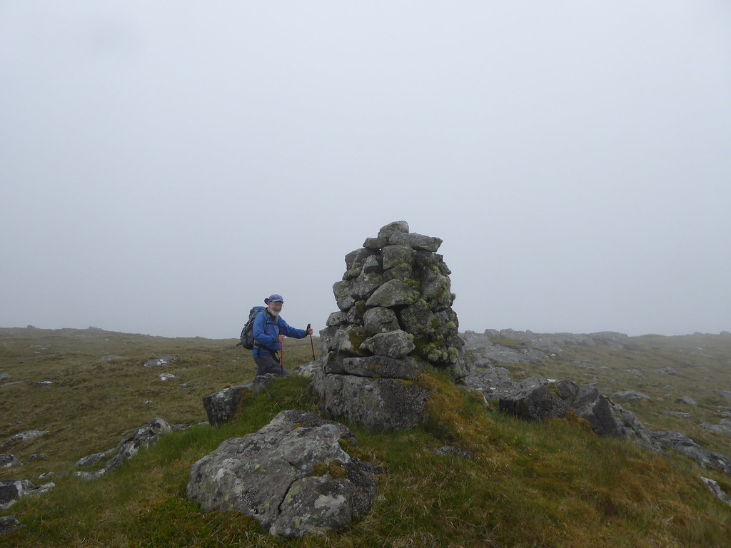
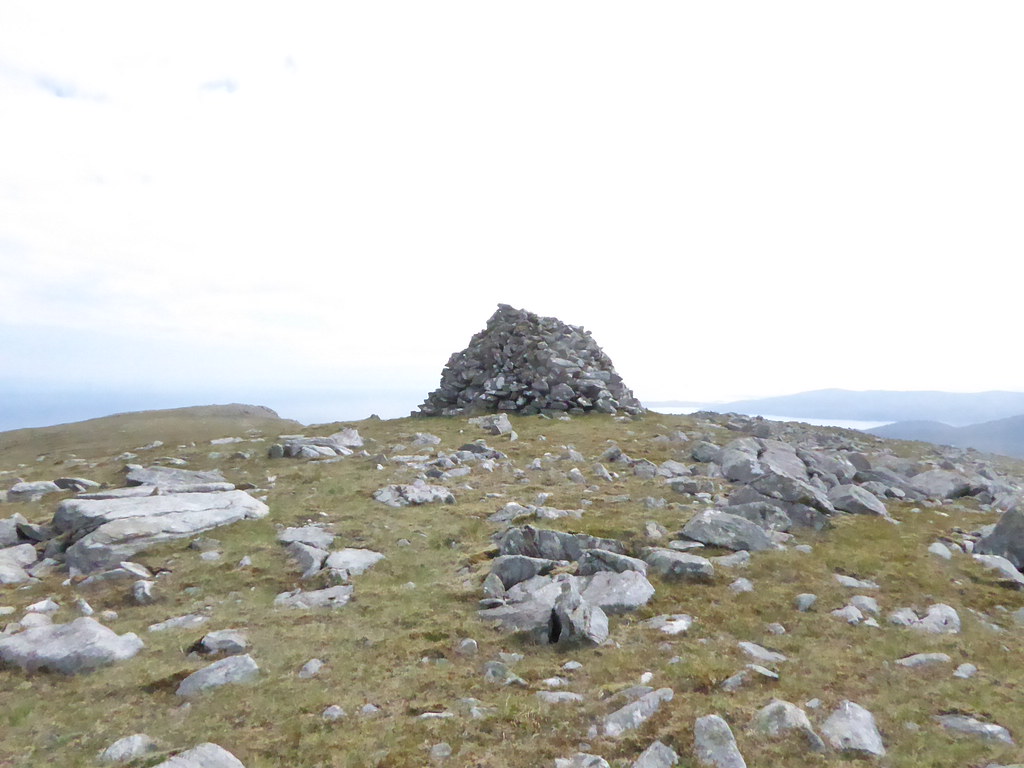
Summit
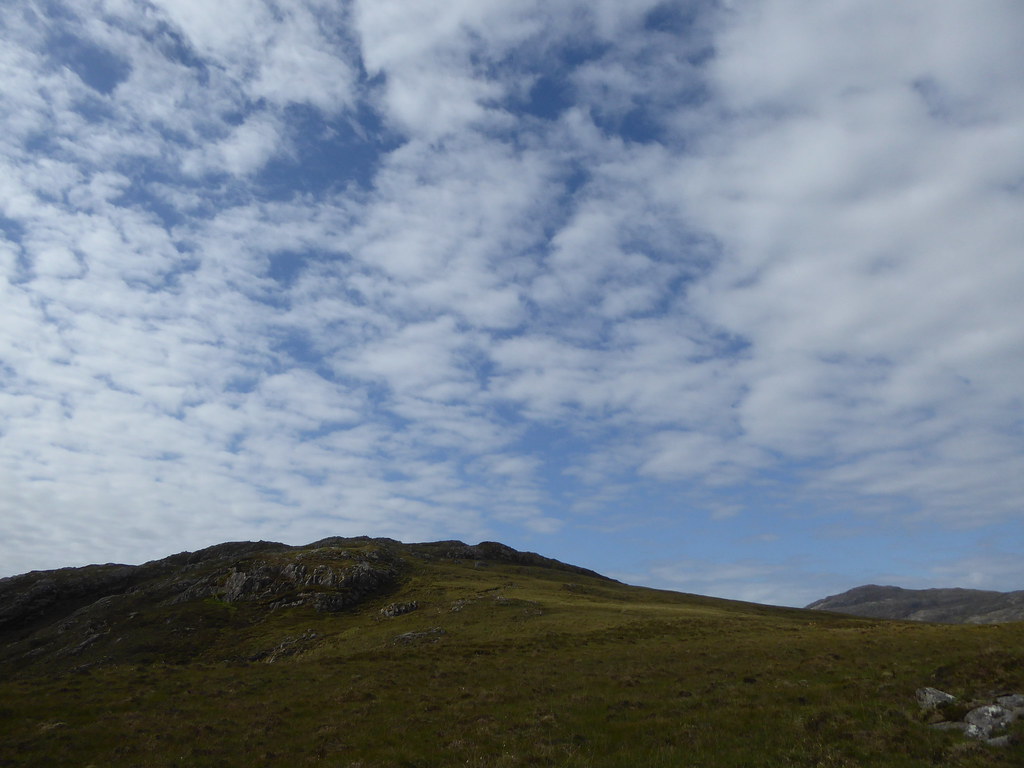
The cloud had lifted enough for us to see our way down

On our descent I found the remains of what must have been the wind measuring mast for the wind-farm
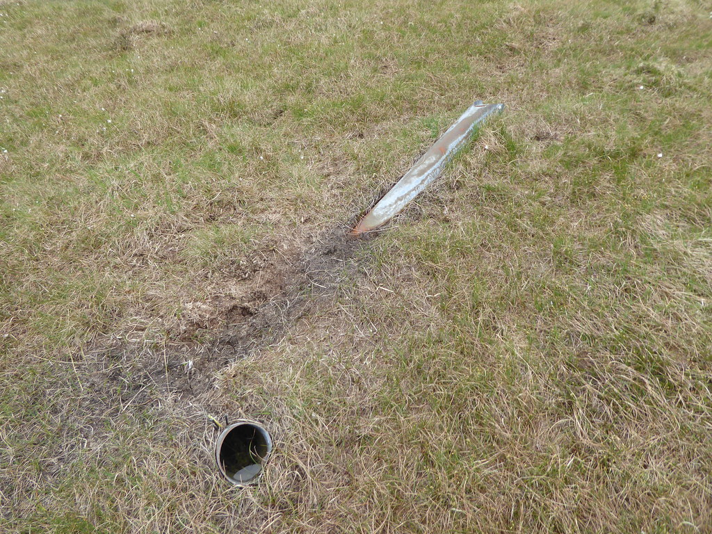 https://www.cne-siar.gov.uk:8000/planning-and-building/planning-service/other-planning-information/wind-power-development/pairc-wind-farm-application/
 Meanwhile Angus had phoned that he would try to drop us off near Usinis the next day, and could give us three hours to do the hill.
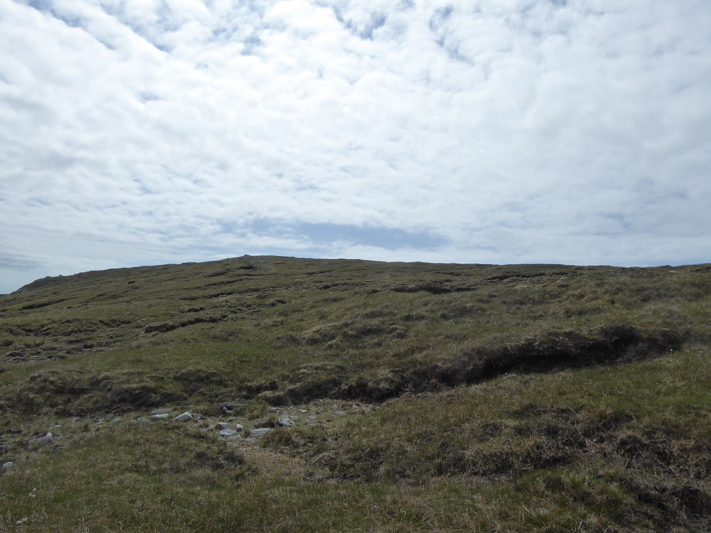
We contoured round the hill we had climbed
Descending
And then saw a bridge across the river. We should have crossed and taken the path which we later discovered was so much easier than what was to come
We struggled back through pathless heather and felt not at all like attempting Usinis the next day, especially to a deadline.
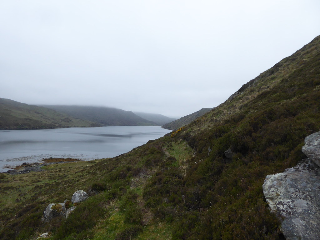
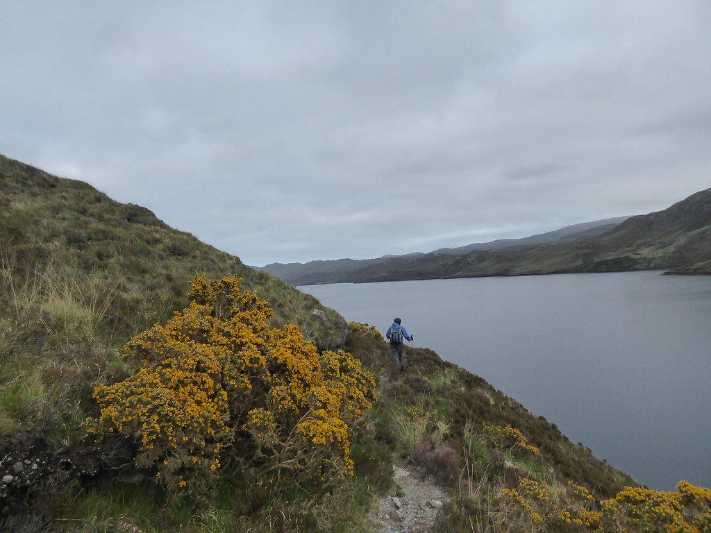
The loch looked picturesque….if long
The track by the loch seemed to go on for ever
The horses had moved closer to our end

It reminded me of all those Victorian paintings entitled something like “Return from the hill"
I can't make it display, so you will just have to google it.

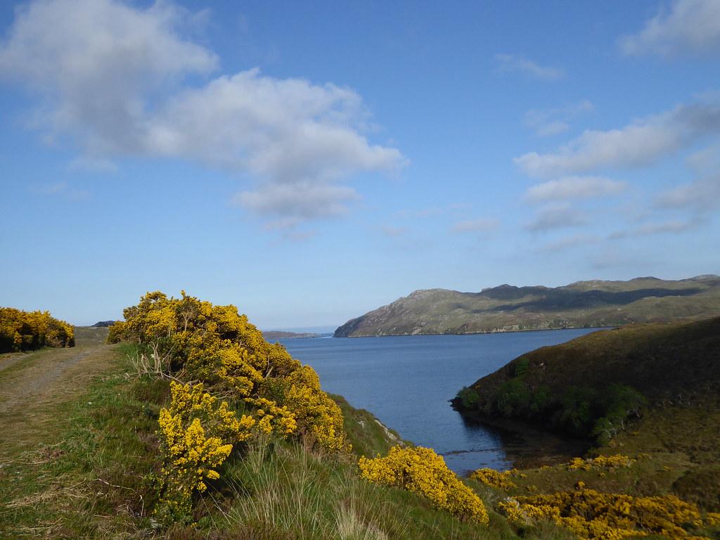
At least the sun was out now
Neither of us got much sleep the next night, since not only had a pipping smoke alarm kept us awake (sorted by the landlady grabbing the nearest man with a van she could spot) , we were worried about Usinis…but it had to be attempted. We arrived at the pier, and Angus told us that the wind was probably too high to drop us off. We could pay the £110 fee for the Shiants, and see how things went, but there would be no guarantee. So we decided not to go. There was some talk of a private charter later, but at £100 an hour, it would be like bagging by public transport, except that we would have hired the whole bus and the meter would be whirling round (forgive the mixed metaphors).
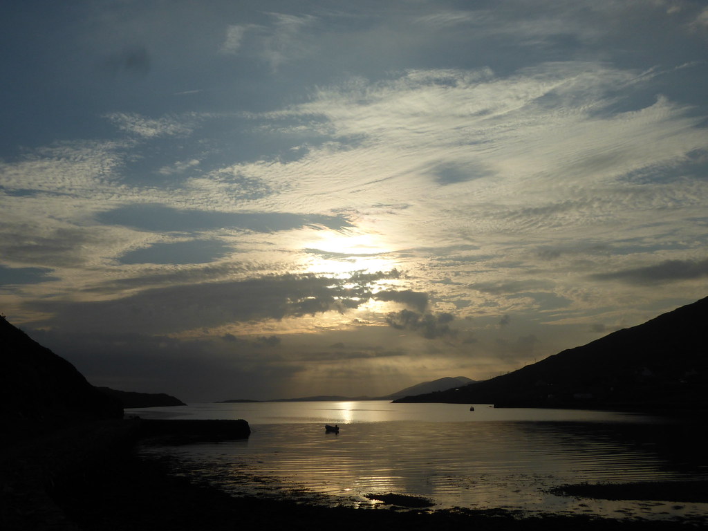
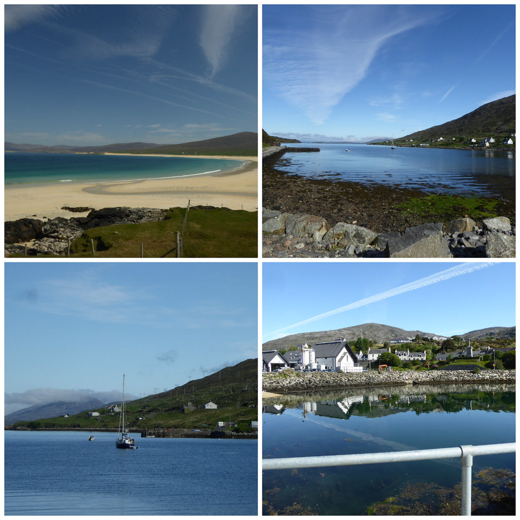
I had taken three photos that morning, all of which the BBC wanted for Weather Watchers (they probably landed up on a Twitter page, but my laptop is so slow, I couldn’t be bothered looking. They are at the end of this report). Instead we went to Stornoway. I had trodden on my glasses and pushed close to my face, they didn’t really give me a satisfactory view of where I was going. We went into a shop to buy a pair of socks and asked where we might find the opticians “Do you want the near one or the good one?” I opted for the good one which was outwith the normal shopping streets, and they fixed them with no charge. On the way home and back, we took some Weather Watcher pictures, but they didn’t want them

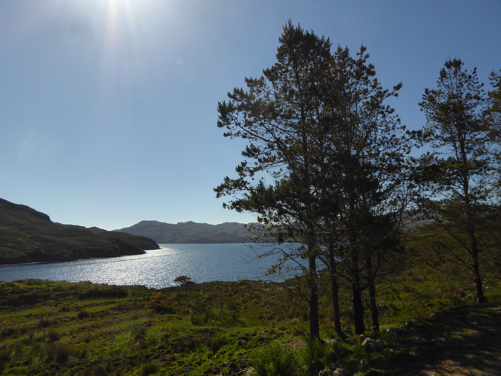
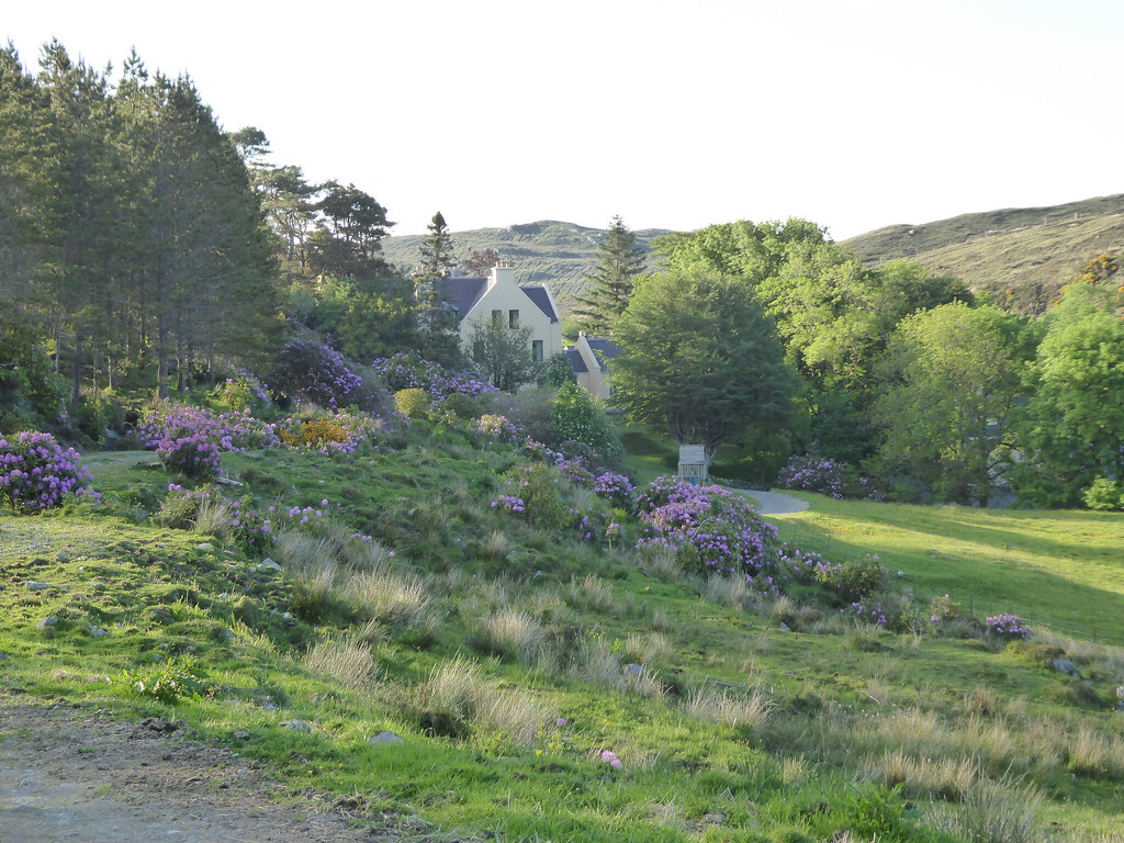
On Tuesday we set off to climb Gormol. Below, pines near Eishken Lodge
It was almost 12 noon before we reached the bridge. R had read of the standard way to do Beinn Mhor from this side, and knew a path rose up from the bridge.
Here it forks, the right hand path going towards Mouaithabhal
Maintaining it must be a job and a half
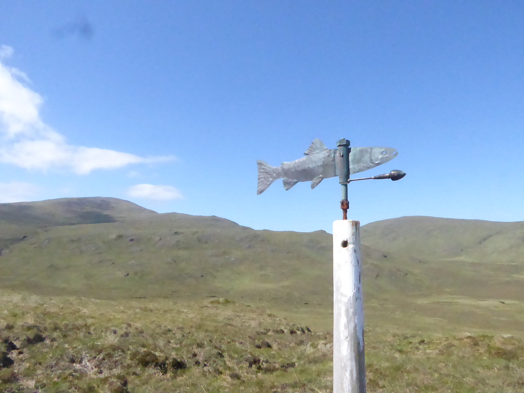
It was wonderful walking, but stopped abruptly at a fish weather vane at approx. NB 2581114
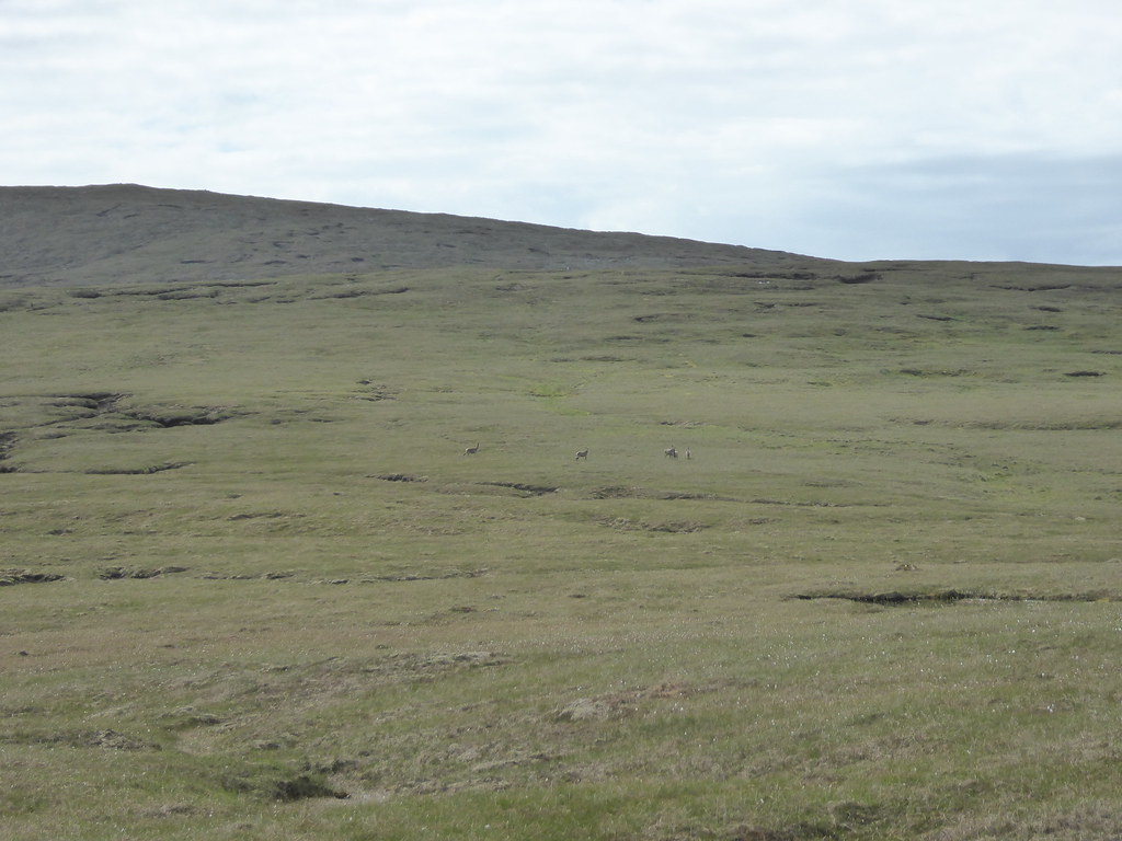
From here we set off up the ridge. Deer kept emerging and trotting away ahead of us. I went on strike and demanded lunch at about 2.30 pm. Below, setting off again after lunch
We reached Crionaig at nearly 4 p.m.
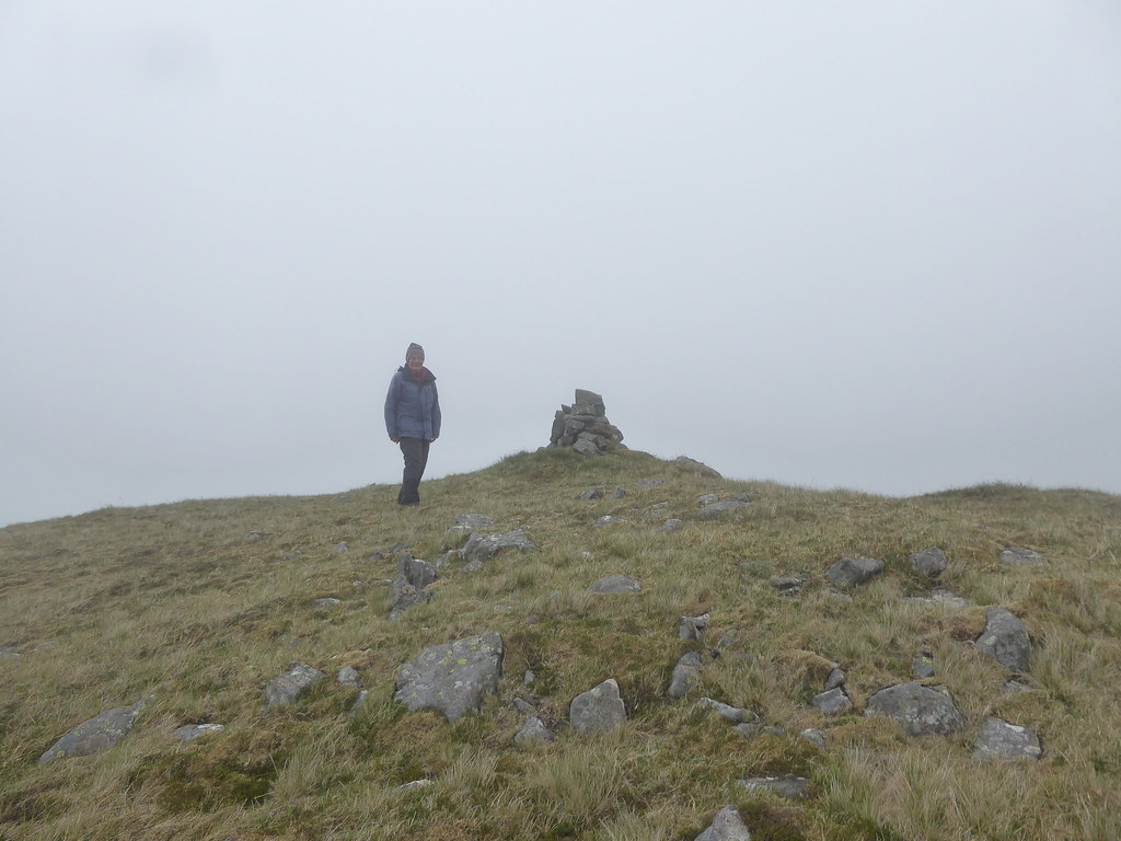
Cairn on Crionaig I thought it was the summit until I did a GPS, and then turned round
Then we had to walk across to the summit.
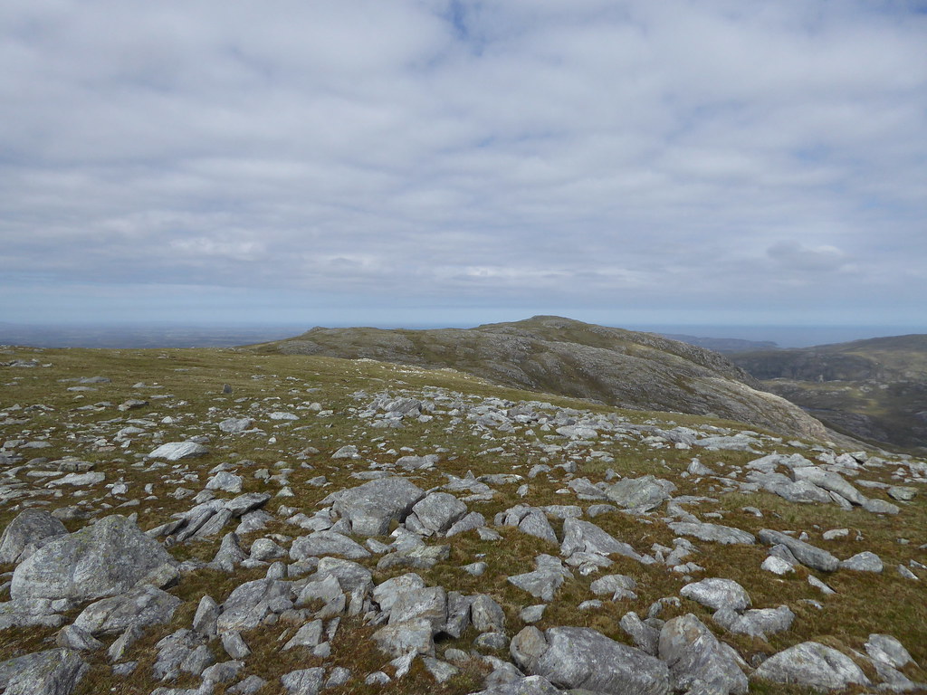
View towards Gormol from Crionaig
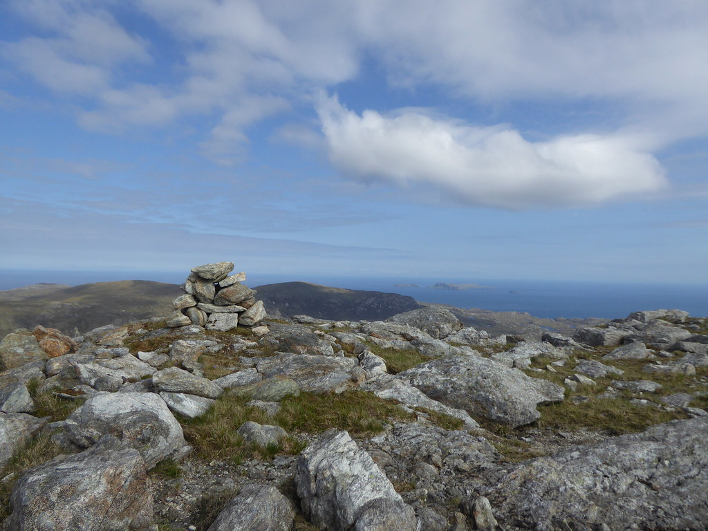
Summit of Gormol
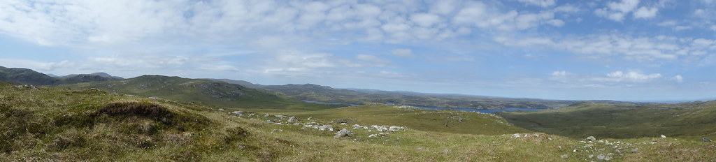
Pano
[/url]
Coming down seemed to take us for ever, as R was feeling his dodgy knee. We descended directly down the ridge to the bridge.
Descending slowly

Looking back
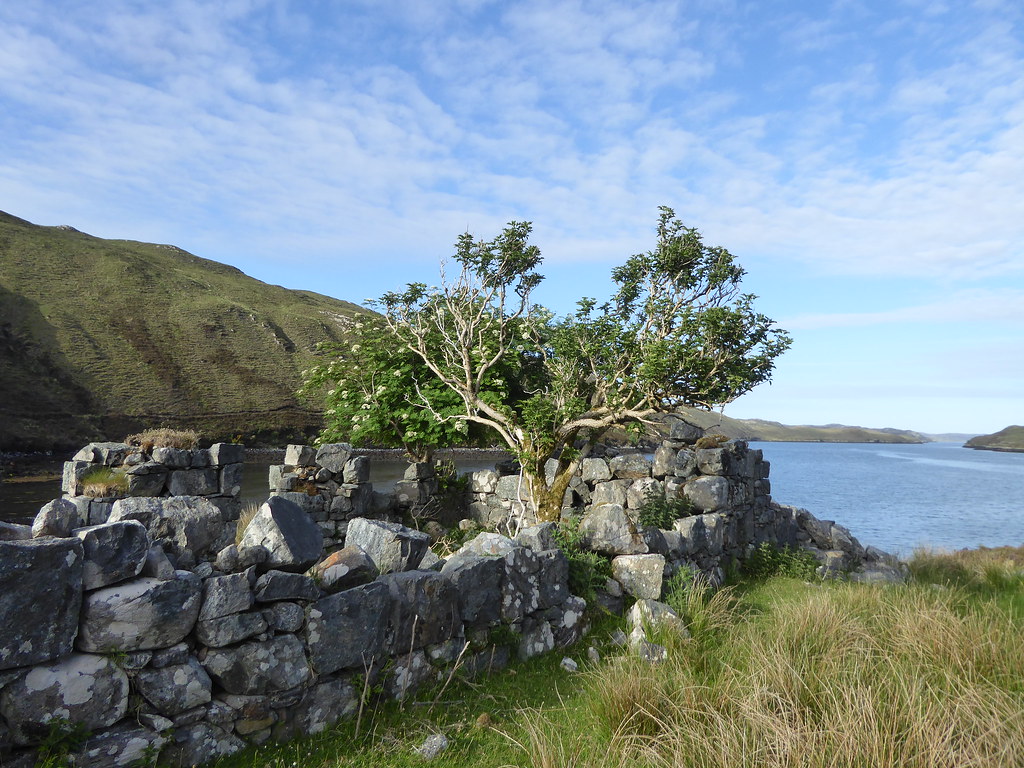
Shieling near the bridge
It is a long way back to the lodge.
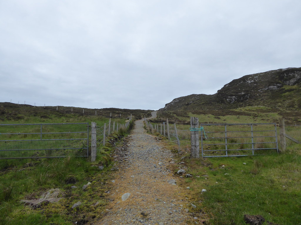
The following day, despite our struggle on Gormol, we set out for Usinis. All other attempts at boats having failed, I had found a kind lady with contacts in the fishing community that got us across Loch Sealg with a promise of a pick up later in the day, but it had to be that Wednesday. A maintained path starts from almost directly opposite the lodge.
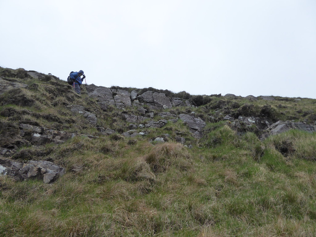
We veered slightly to the west and then directly up the ridge.
It was a picnic compared with Gormol.
Every time I zoomed the deer, they ran out of shot. Here they are in the far distance
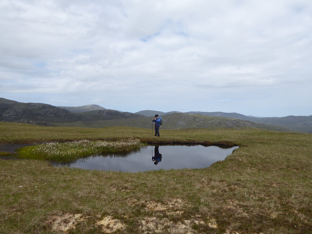
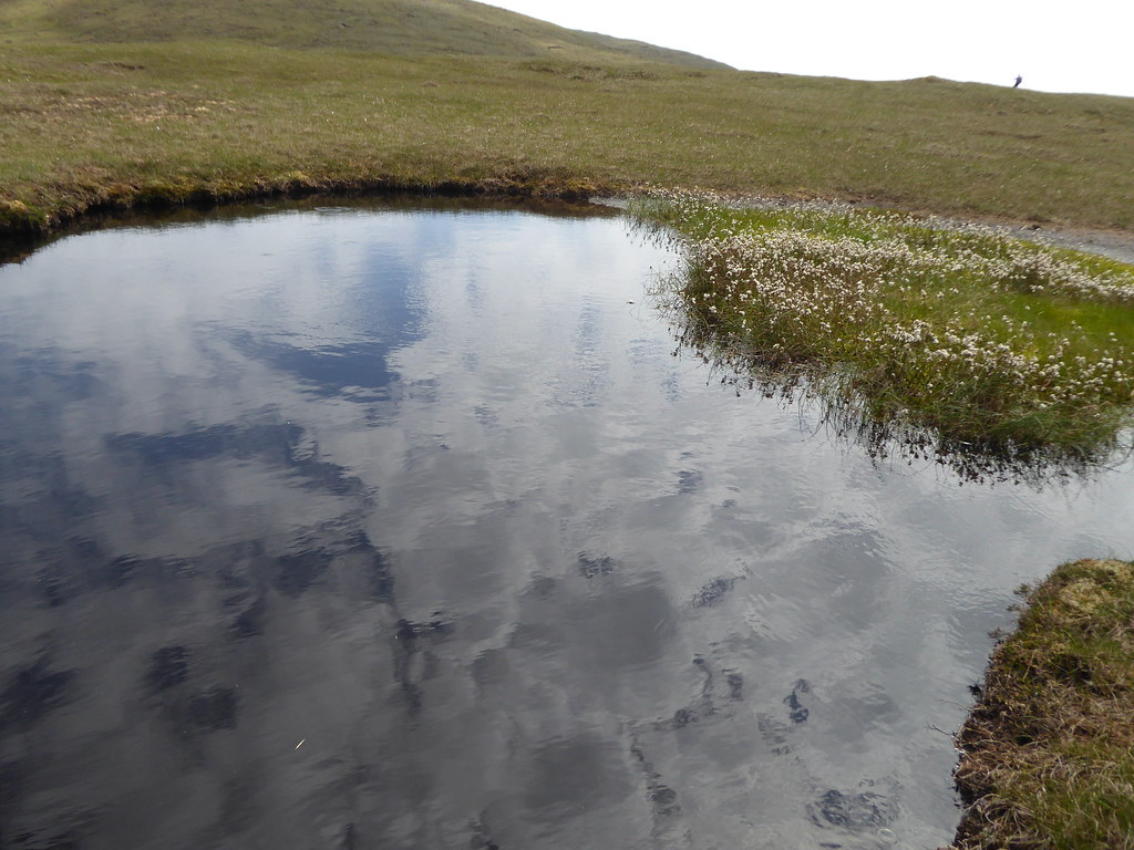
We climbed up a flattish area to some tiny lochans R still has his midge net festooned around his hat
Once at the top of the ridge we found wide areas of peat hags which we crossed
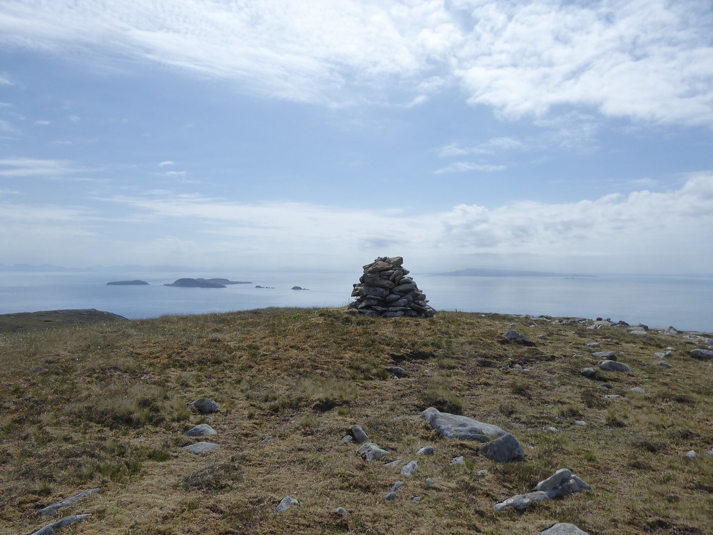
We contoured around the first summit and directly to the summit of Usinis itself.
Below, cairn in the distance
Below, cairn up close
Looking back at the route of ascent
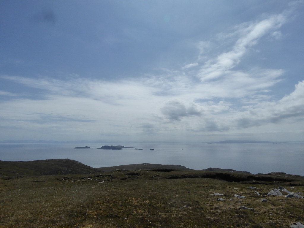
The views were spectacular. We saw an eagle down the coast to the south.
Out to sea, the Shiants were far less hazy than the preceding day. We took photos of each other

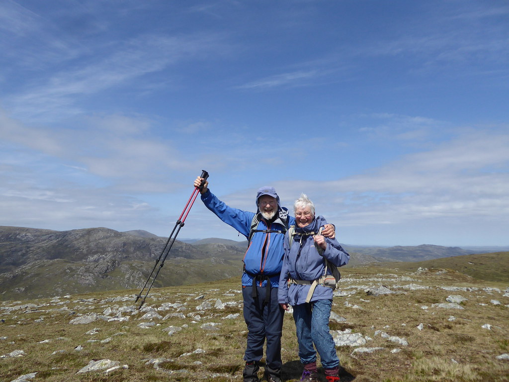
As this was the first time we had "completed" on the same mountain, took a photo of ourselves with the timer. Our pockets are stuffed full with midge nets, gloves etc
The Shiants looking east
Looking south
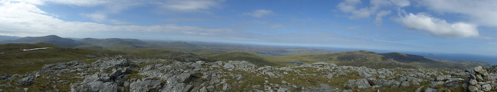
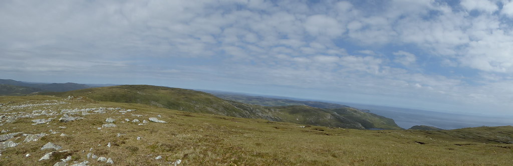
Pano from summit looking north
Of course, it isn’t a true completion. Five sea stacks remain,
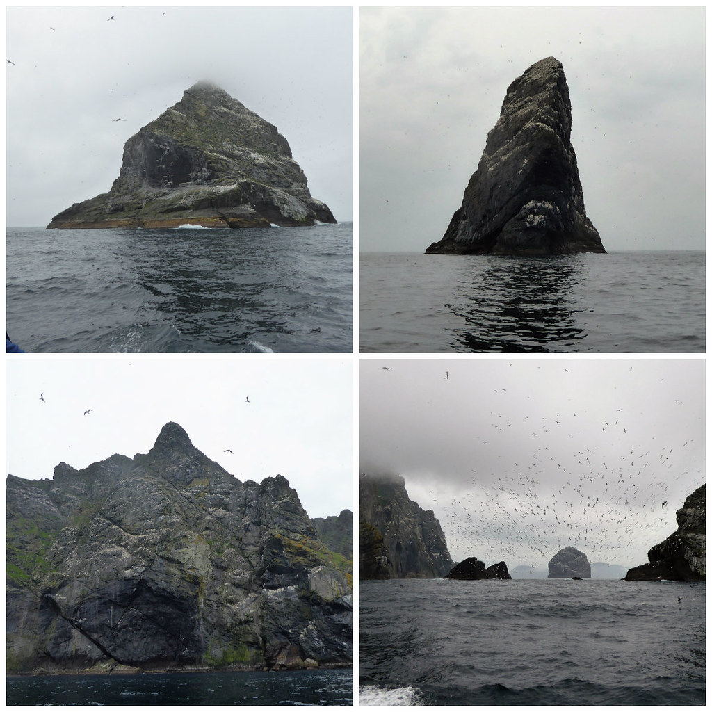
There is no way R can jump onto them from a boat without doing in his knee for good, and there is no way I could contemplate climbing them with my duff shoulder, so there we are....stuck. As we are both pushing 80 anyway we shall just have to be content with 1551 out of 1556 Marilyns.
We still had to get back, so retraced our tracks back to the bottom of the path where we were picked up.
The tiny lochans were still there
Pano on the way down
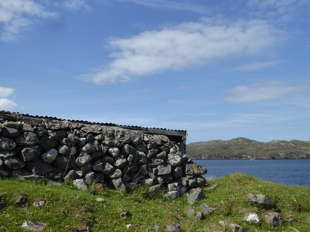
Below, the little shed at the landing spot
Thank goodness for the GPS, as although we had both looked back and worked out where the pole that marks the top of the path must be, neither of us could recognise anything on our return.
We stopped on the way home to get some bits and pieces from the petrol station. I took a long time, because I didn’t realise there was an upstairs with things like shower gel, which we needed, but R had thought that maybe I had been looking for some sort of presentation gift and that the shower gel was all I could find.
“No, it’s not a commemorative gift for you," I said “It’s for US, unless you want to go in and find some shower gel for heroic women to give to me.”
We were so lucky with the weather. We had been desperate to get all remaining three hills done, so would have gone ahead in anything short of thunder or a tornado, but the sun shone all the final two days, and the midges mostly left us alone. It has needed nine trips to Harris and Lewis to complete all forty four Marilyns, and we have loved every minute.
My new hobby of weather watching kept us busy when we were too tired to walk, and resulted in four Editor’s Picks. The one of the beach near Leverburgh ended up on the 6.30. news, and on Countryfile . Apparently it looked like the Carribean (not surprising since I had knocked the dial on my camera and had taken it on sunset mode. )
If I had been better at organising I would have organised a group of 14 people to rent Eishken Lodge for a week. That way, you get use of boats, dinner B & B for £64 per person per night. i.e. £6500 for a week and at least 14 people, but maybe they would let more people come and cut the cost
http://www.eishken.com/rent/However, I didn't suppose I could get 14 people to agree to come.
EDITED:SOME STATS
Muaithabhal: 6.9 Miles, Ascent= 2414 feet
Gormol: 8.2 miles Ascent= 3425 feet
Usinis 5.1 miles Ascent=1387 feet
