free to be able to rate and comment on reports (as well as access 1:25000 mapping).
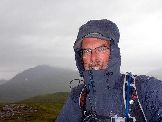
After the excitement of the Cuillin Ridge and Allison's Full House it was nice to get back to some proper hills - little trackless Marilyns. To be fair, the weather for our remaining few days of holiday didn't provide us with many options

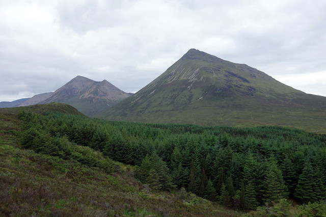
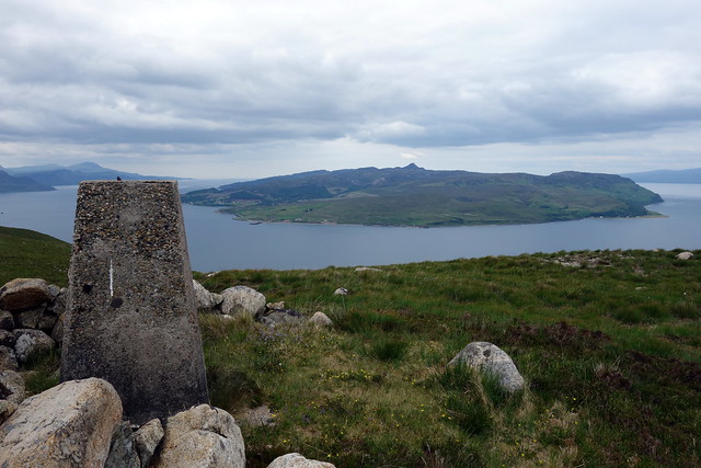
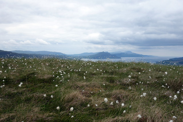
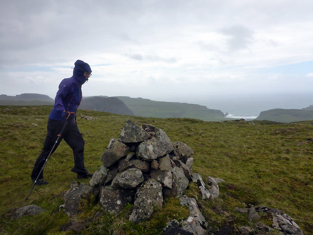
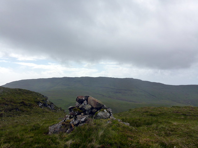
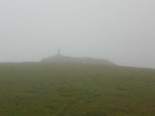
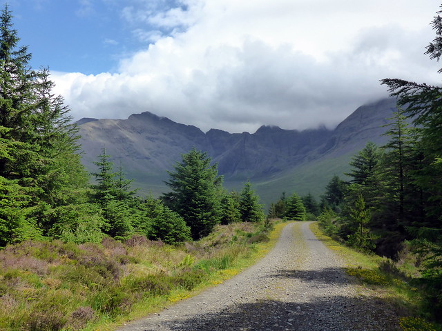
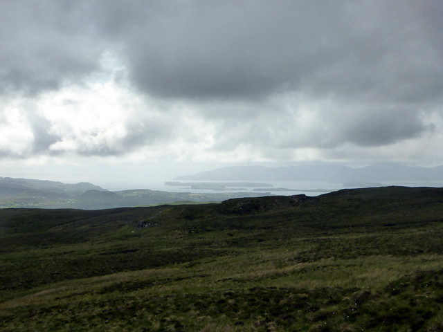
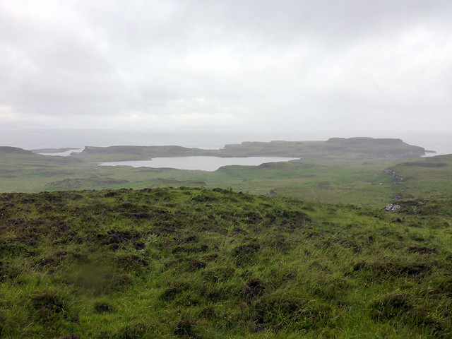
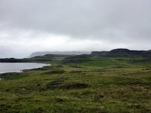
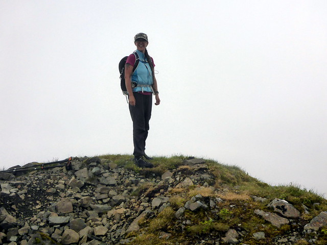
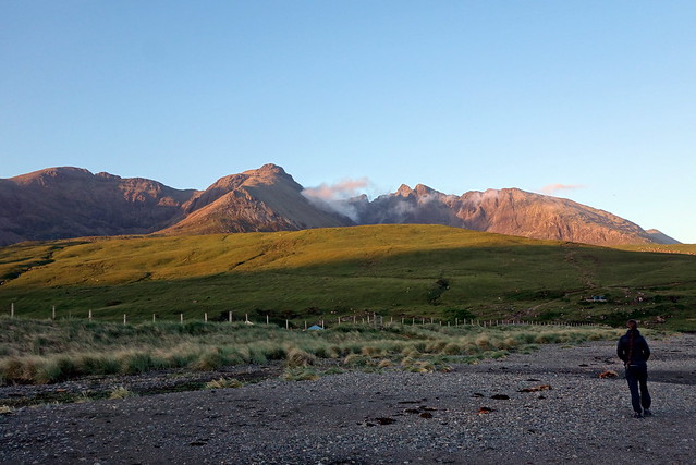
Stepping back a little, when we arrived on Skye on Sunday 10th June and I had worked myself into an anxious frenzy about the Ridge, I did nip off and do a very short hillwalk, not far from Sligachan where we were pitched. Meall a'Mhaoil sits east of Glamaig at a mighty 284m. I drove round to the Golf Club and parked by the bridge - further along there's a quarry. I walked towards this and followed the fence by the end of the trees. I skirted round Meall Buidhe and made for the summit. Grand views of Glamaig and Beinn na Cro over on my right, a fine view of Raasay and the Trotternish Ridge from the summit. Over to Meall Buidhe on descent and back the way I'd come, chilled out a bit from my worries.
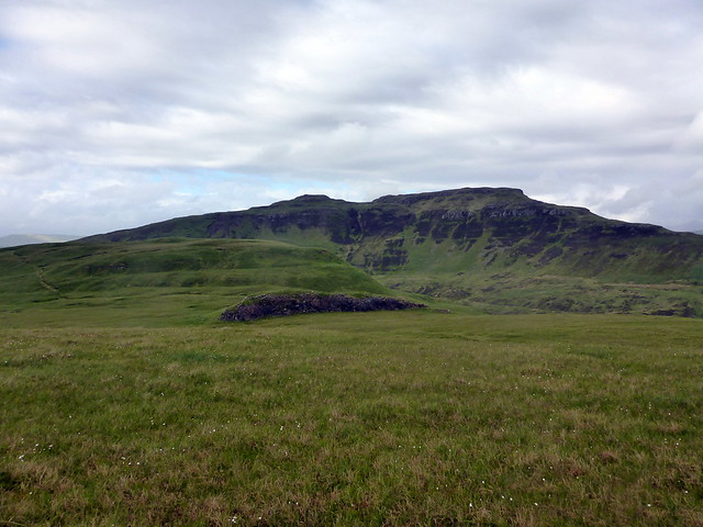
Glamaig & Beinn na Cro
 DSC01914
 by
Al, on Flickr
 DSC01916
 by
Al, on Flickr
Raasay
 DSC01917
 by
Al, on Flickr
 DSC01918
 by
Al, on Flickr
Trotternish
 DSC01919
 by
Al, on Flickr
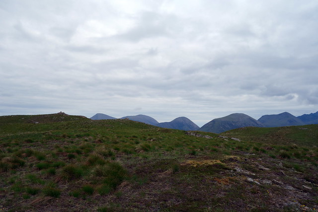
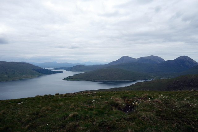
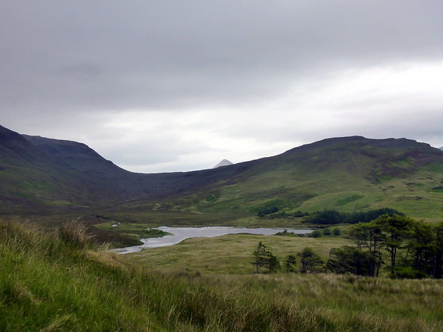
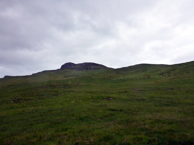
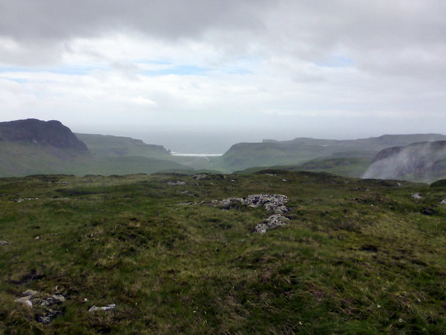
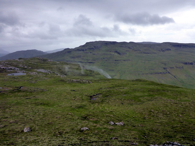
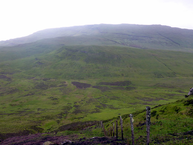
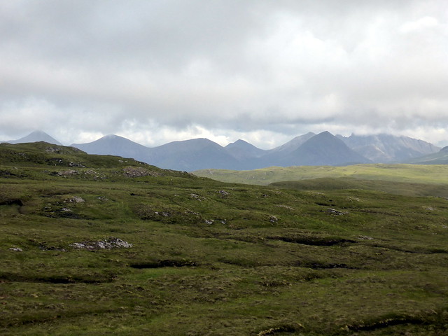
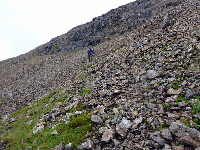
The second Marilyn was another solo effort, picked up after we'd done the South Top on Bla Bheinn. Ben Meabost is just a couple of miles further down the road towards Elgol and I started off up the track to Camasunary. It had started to rain, all around was lush green grass. Through a gate on my left and up the hillside, skirting a band of crags and heading south west. Behind me the pointy top of Beinn na Cro was just visible. As I gained height, Sgurr na Stri appeared, although views were curtailled by clag.The summit has a grand view towards Elgol and Loch Coruisk. Back the same way.
 P1180884
 by
Al, on Flickr
 P1180885
 by
Al, on Flickr
Sgurr na Stri & Loch Coruisk from summit
 P1180888
 by
Al, on Flickr
 P1180889
 by
Al, on Flickr
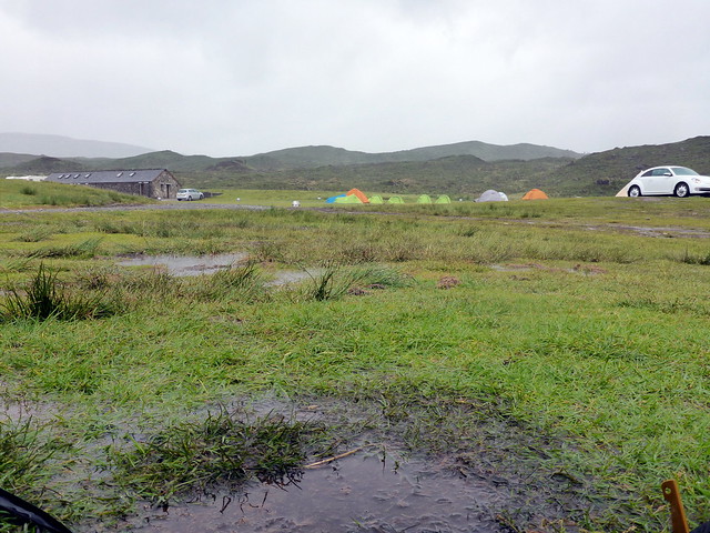
We then drove down to Elgol, but didn't get out the car as it was raining quite heavily now. Met lots of cars on the road back - maybe we'd co-incided with a sialing from Elgol, or maybe people were just out for a drive in the wet. Returned to Sligachan via Cafesia in Broadford where we had pizza. The rain was heavier now, the wind building up. Not much else to do but stay under cover. We were reminded of our first visit to Sligachan for the WH summer meet of 2013 when there was another storm and we woke up with the tent flooded
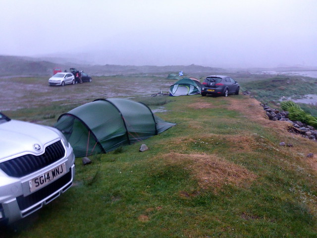
I decided we should just go over to the Slig for tea - we ended up staying on for their pub quiz, in which we came a measly third equal. We could see the rain coming horizontally out of the windows, bouncing off parked cars in the high wind. Having stayed in the warmth and dry of the pub for as long as reasonable we had to face the storm. We were pitched down by the river, which had risen several feet in the time we'd been away. I was dubious about the safety of remaining there and decided to pitch up by the reception building, where we might also have a bit of shelter from the wind. I set up the Nammatj then returned to dismantle the Nallo and try to get the contents transferred with as little of a soaking as possible. The other campers had either left or abandoned their tents and taken refuge in the toilets. This included a large group of Poles, who had been staying an a regimented cluster of tents in the middle of the campsite, most of which were now flat.
 P1180891
 by
Al, on Flickr
 P1180893
 by
Al, on Flickr
 P1180895
 by
Al, on Flickr
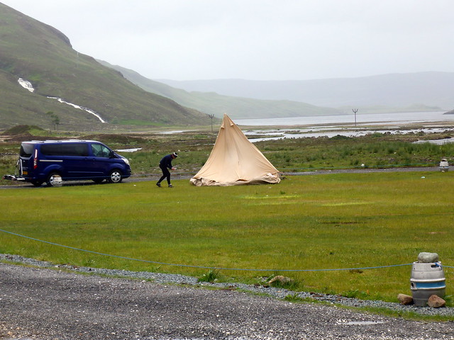
Resurrecting the squid
 P1180896
 by
Al, on Flickr
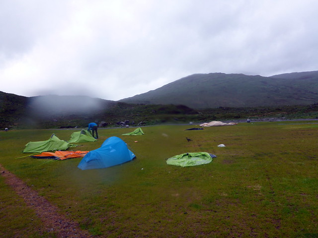
The winds were amongst the strongest I've encountered when camping, but the tent was fine and we even got some sleep. Morning brought some reduction in windspeed and an easing of the rain - we looked out at the scene of devastation. There was a large teepee type tent that looked like the ghost of a giant squid - its inhabitants had abandoned it during the night, but returned to successfully resurrect it when the winds lessened. We decided we wanted a change of scenery - let's head round to Glen Brittle for our last few days - at least we'll have the sea for company.
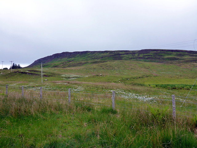
However, there were hills to be climbed before that. Out near Carbost are three Marilyns - Arnaval on its own and the pair of Biod Mor and Beinn Bhreac. Let's do them. We drove round to Gleann Oraid on the way to Talisker Bay, found a layby to park in whilst we had a hasty lunch and set off for Arnaval. Round a sheep field then onto open hillside. The wind was still strong - wouldn't have liked to have been much higher today. Streams on the hillside were being blown high up into the air. Good views to pretty Talisker Bay.
 P1180897
 by
Al, on Flickr
Talisker Bay
 P1180899
 by
Al, on Flickr
summit plug
 P1180901
 by
Al, on Flickr
 P1180903
 by
Al, on Flickr
streams being blown uphill
 P1180906
 by
Al, on Flickr
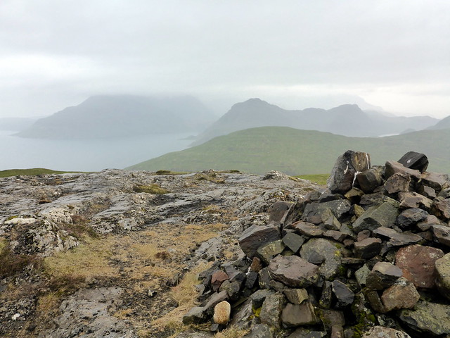
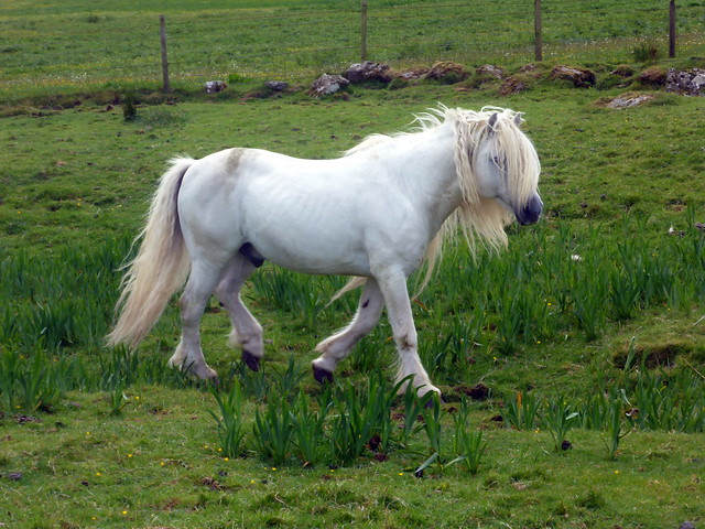
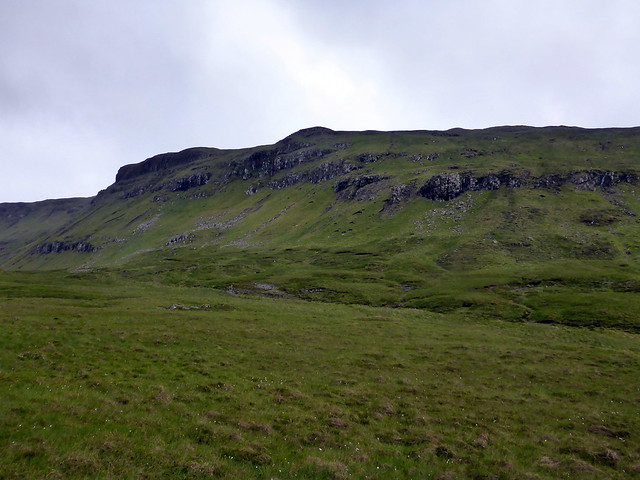
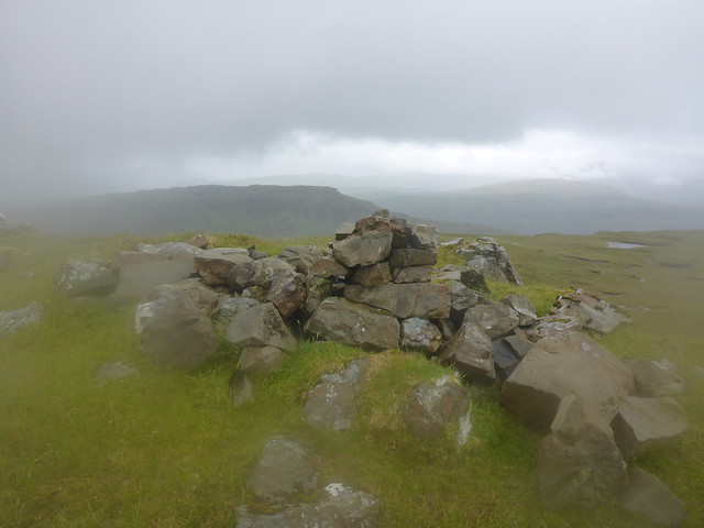
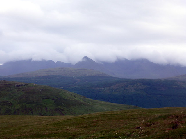
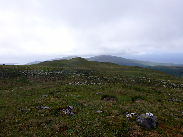
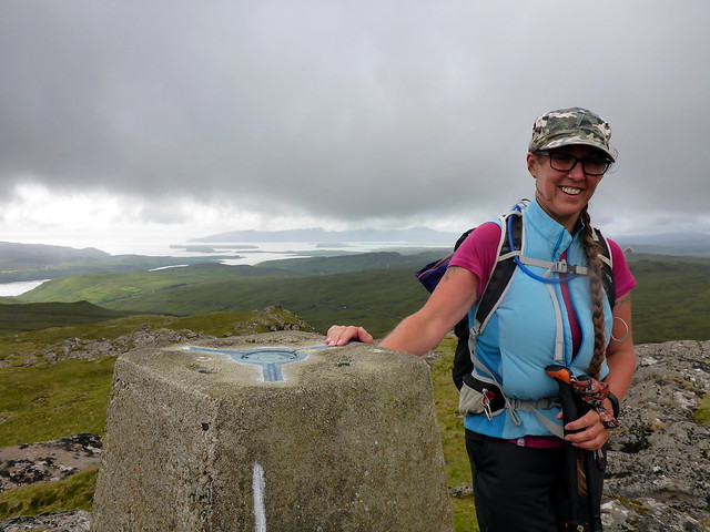
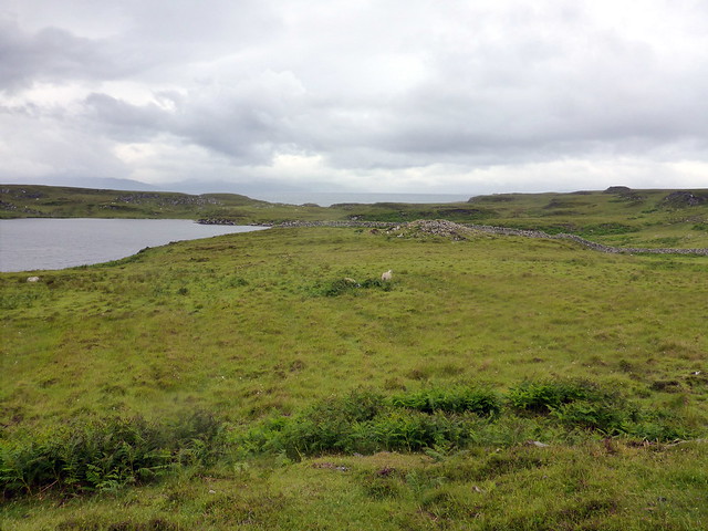
Back at the car we drove down Gleann Eynort, parking near the phone box in the village. Biod Mor was close to the road, but Beinn Bhreac would involve a tramp over the hillside - there's not really any easier way to access it, so combining the two hills made sense. We passed through some farm outbuildings into a field of horses and sheep then steeply climbed the east flanks of Biod Mor. From the summit cairn, we dropped to Loch Bioda Mor and followed a fenceline steeply down to the SW. Beinn Bhreac was visible a few km away to the west, across some boggy ground. Quite hard going. Another craggy section to negotiate then onto the flatter top. To the Vanessa Trig, which isn't the highest point. Across to the southeast the Cuillin were shrouded in mist, but the cone of Sgurr Thuilm stood out.
Biod Mor
 P1180911
 by
Al, on Flickr
 P1180912
 by
Al, on Flickr
Beinn Bhreac from summit Biod Mor
 P1180914
 by
Al, on Flickr
Steep descent
 P1180916
 by
Al, on Flickr
Beinn Bhreac
 P1180919
 by
Al, on Flickr
trig but not summit
 P1180922
 by
Al, on Flickr
 P1180923
 by
Al, on Flickr
Sgurr Thuilm
 P1180925
 by
Al, on Flickr
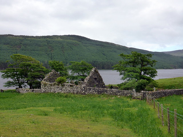
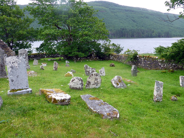
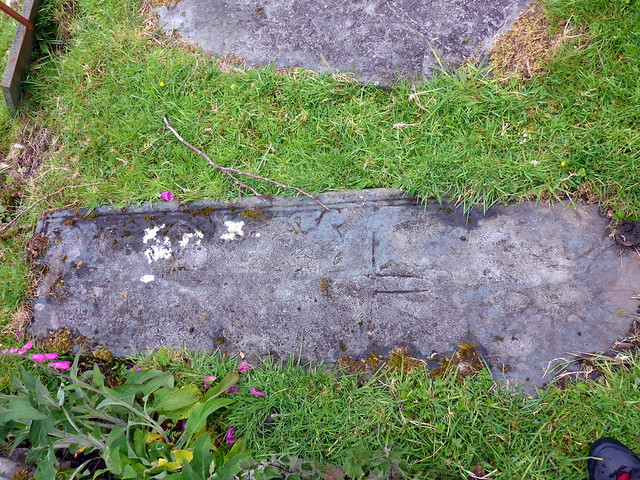
We descended SE towards the ruined church and the road. The church is worth a visit, with very old graveslabs, some which have carved swords upon them, others have no discernable inscription and look more like standing stones. We walked back to the car and set off to Glen Brittle, pitching in our favourite spot beside the sea. The site was pretty quiet for mid June. It was so pleasant drifting off to sleep with the sound of waves crashing along the beach.
Biod Mor
 P1180926
 by
Al, on Flickr
St Maelrubha's Church
 P1180928
 by
Al, on Flickr
 P1180929
 by
Al, on Flickr
 P1180931
 by
Al, on Flickr
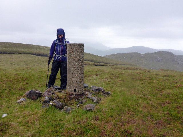
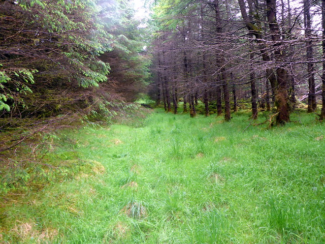
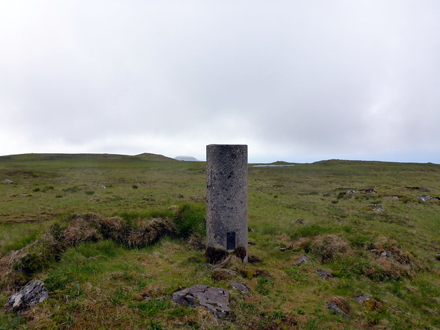
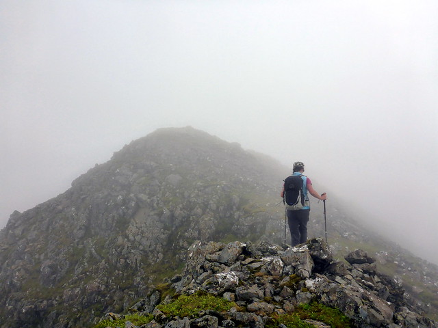
The forecast for Friday was mixed, showers and winds continuing. We decided to do the two Marilyns in Glen Brittle Forest - An Cruachan and Beinn a'Bhraghad. Leaving from the campsite we walked across the footbridge to Rowan Cottage then set off up the hillside, reaching Truagh Mheall first of all. Clag was down and there was boggy ground to cross. Made it to the top of An Cruachan without seeing anything.I was keen to walk to Beinn a'Bhraghad from here but Allison wasn't and in deference to her injuries (which did seem to be steadily improving despite the lack of rest) we returned to the campsite and drove up past the Fairy Pools to park in the upper car park and approach Bhraghad through the trees. I'm suspicious of believing firebreaks exist, but on this occasion it's fine to walk through the trees to the open hillside to the east of Bhraghad. A little bit of ascent and the trig is attained. Again it's not the highest point, which is a knoll to the SW.
Guess which way the wind blows in Glen Brittle
 P1180933
 by
Al, on Flickr
Beinn Staic and Beinn Bhraghad
 P1180934
 by
Al, on Flickr
An Cruachan
 P1180936
 by
Al, on Flickr
Easy through the trees to Beinn Bhraghad
 P1180940
 by
Al, on Flickr
Not the summit
 P1180941
 by
Al, on Flickr
 P1180943
 by
Al, on Flickr
 P1180944
 by
Al, on Flickr
Back to the car and off to Portree for some final supplies and to check the weather (the biggest drawback of Glen brittle is no phone signal to see what the weather's going to do). I also had to message my boy with birthday greetings - 26 today. We saw that Saturday and Sunday were to be showery, but there was a brighter spell late on Saturday afternoon/evening.
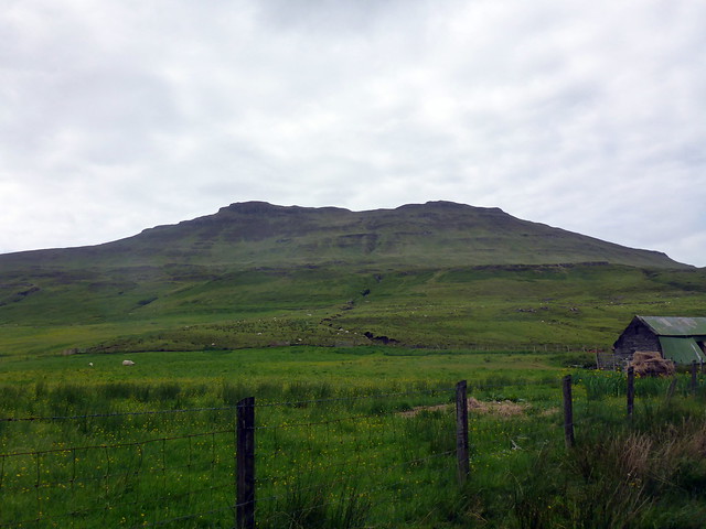
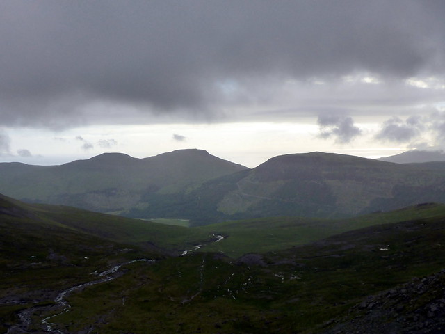
On the way back from Portree we would get one more hill done. Beinn na Greine was the closest, but I had neither map nor a route on my GPS and forestry was involved. Hmm maybe next time. Roineval, on the road to Dunvegan was the other candidate - described on WHas "a moorland summit in the least interesting, central part of Skye" Whoopee!
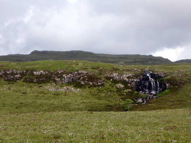
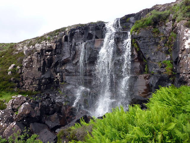
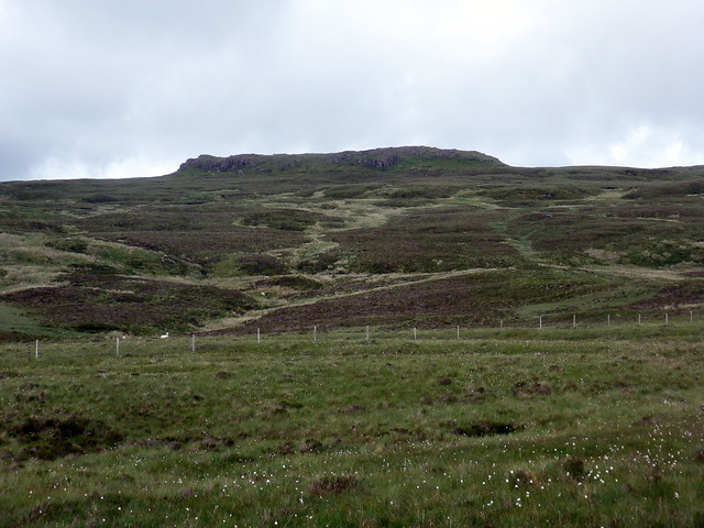
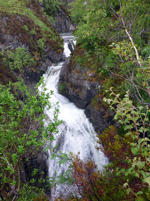
We parked by an abandoned metal recycling station with high fences and keep out signs. Walking to the end of the fence we climbed over into a field (electric fence here) and headed up past a pretty waterfall onto the moorland. More fences to cross before the rocky plug of Roineval was reached. A standard trig point in the correct place marks the summit. Say what you will about being in the least interesting part of Skye, but the views are fine, even on a misty day. Loch Harport to the left, with its small islands, the Sound of Raasay on the right. And I doubt there will be many other folk on this hill

We returned by the same route and set off back to Glen Brittle. Winds had dropped and some midges came out to taste blood.
Towards Roineval
 P1180945
 by
Al, on Flickr
 P1180946
 by
Al, on Flickr
 P1180947
 by
Al, on Flickr
Loch Harport
 P1180949
 by
Al, on Flickr
Red Cuillin
 P1180950
 by
Al, on Flickr
 P1180953
 by
Al, on Flickr
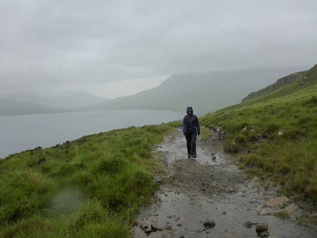
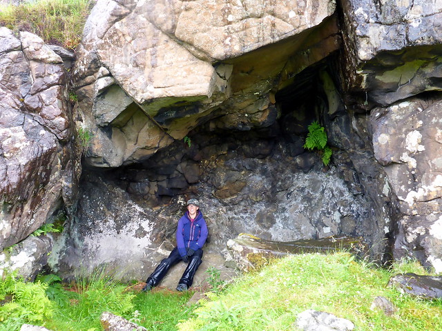
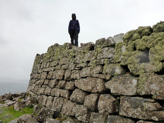
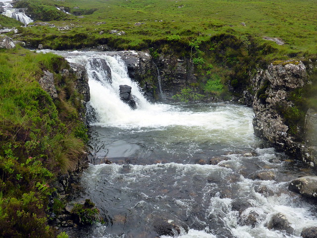
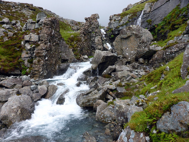
Saturday morning was wet. Rather than struggle up a hill we decided to walk down to Rubha Point where there's a chambered cairn. We met Heather Morning with a small party of folk doing the MCofS scrambling course that we'd done 5 years ago. Not the best conditions for that today. We set off along the shoreline track - fortunately there's a footbridge where the Allt Coire Lagan descends as it was quite tumultuous today. The track continues a fair way then changes into ATV track. Past some cattle and sheep and we were at Loch na h-Airde. The cairn is situated at the north end of the loch, is around 20m in diameter. There's a passageway, part blocked by a fallen lintel and the central chamber is roofless. Despite its ruinous state, it felt quite a special place. We continued ruond the loch to explore a nearby cave, apparently used by neolithic toolmakers. On the point is a fortification consisting of a high wall made of large blocks - beside this is a "Viking canal" linking the loch to the sea.
 P1180958
 by
Al, on Flickr
Rubha point
 P1180959
 by
Al, on Flickr
Chambered cairn
 P1180960
 by
Al, on Flickr
 P1180962
 by
Al, on Flickr
 P1180964
 by
Al, on Flickr
Cave
 P1180966
 by
Al, on Flickr
 P1180968
 by
Al, on Flickr
Dun
 P1180970
 by
Al, on Flickr
Allt Coire Lagan
 P1180975
 by
Al, on Flickr
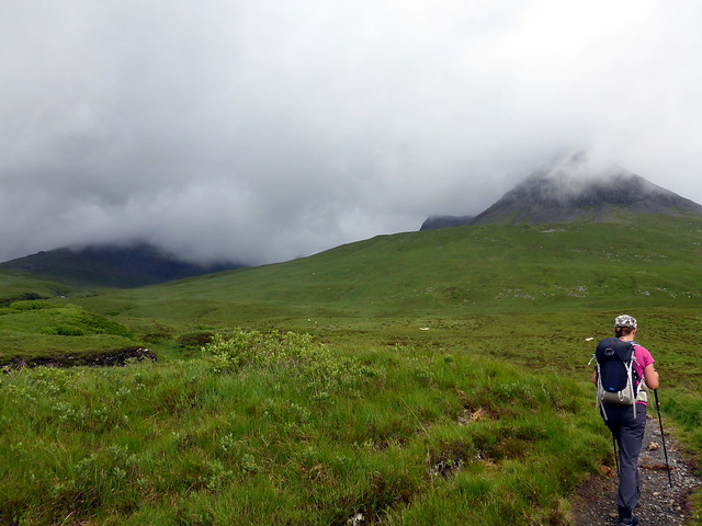
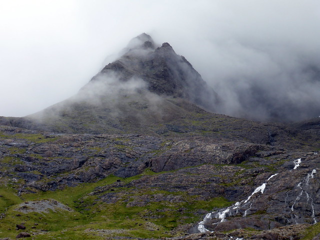
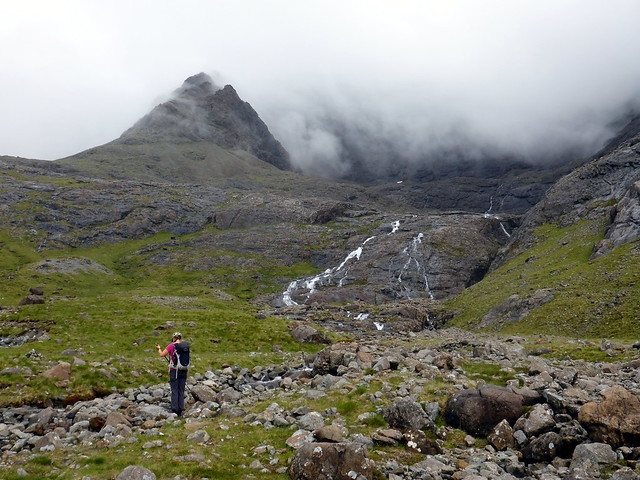
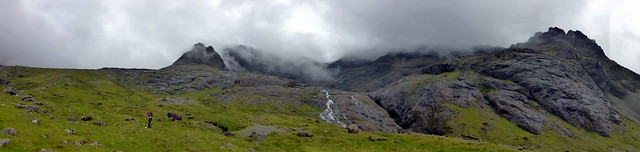
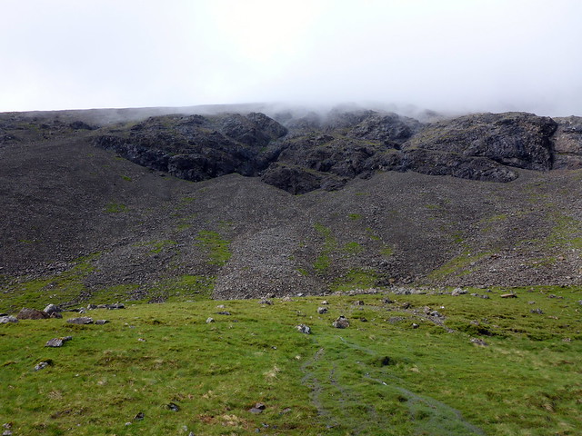
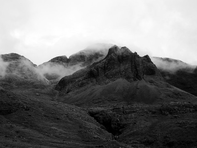
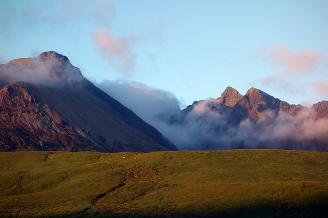
Back at the tent we waited for the rain to stop. Earlier thoughts had been to try Sgurr Dubh Mor when it dried up, but this was probably ambitious. We settled for a trip up Sgurr Thuilm instead - an impressive Sim of 881m joining onto Sgurr a'Mhadaidh.The Allt Ghreadaidh was fast and furious as we went up, and we needed to go higher into the coire to get across. Mist swirled around the jagged peaks of Sgurr Eadar da Choire - a stand in for Mordor I think. We followed the left branch of the Allt round into the coire and set off up steep and loose scree for the summit of Thuilm. At times it looked like it was going to clear - we got tantalising glimpses of the Ridge, but the clag remained thick at the narrow summit. Descending took care, loose scree over crags below. Back to the car and our final night of holiday. Sun had come out now, the ridge was clear and we had a last walk along the beach with the somewhat forlorn feeling that accompanies the end of holidays.
 P1180978
 by
Al, on Flickr
 P1180979
 by
Al, on Flickr
 P1180982
 by
Al, on Flickr
Sgurr Eadar da Choire
 P1180986
 by
Al, on Flickr
 P1180987
 by
Al, on Flickr
 P1180988
 by
Al, on Flickr
Scree and crags on flank of Thuilm
 P1180991
 by
Al, on Flickr
 P1180994
 by
Al, on Flickr
 P1180995
 by
Al, on Flickr
 P1180996
 by
Al, on Flickr
 P1200004
 by
Al, on Flickr
An Cruachan finally visible
 P1200006
 by
Al, on Flickr
Beautiful evening
 DSC01924
 by
Al, on Flickr
 DSC01925
 by
Al, on Flickr
If the weather had been better on Sunday we would have driven round and climbed Beinn na Cro, but clag and drizzle was the order of the day so we left this fine peak for a better day and set off for home. A holiday of highs and lows - the unforgettable experiences on Suilven, Foinaven traverse, the frustration and pain of Allison's shin splints, the bittersweet time on the Cuillin Ridge the fina then the rainy weather. A good mix of hills, though fewer than we'd normally get done on our summer break. I think it's going to be Islands next summer...
