free to be able to rate and comment on reports (as well as access 1:25000 mapping).
Sub 2k Marilyns: Ben Meabost.
Date: 22/06/2018.
Distance: 20 km +1.5km.
Ascent: 1010 m + 210m.
Time: 8 hours, 50 minutes + 35 minutes.
Weather: Slight drizzle, warm sunshine, cold and windy - everything.
Thinking back to Monday, it was just another dull week at work, and I was starting to wonder where to go at the weekend. Then Alan (Owdjockey) got in touch. I have been following his progress on Scottishhills as he works his way around the
coast of the UK on foot, usually in chunks of 2 or 3 days at a time. As he often uses combinations of buses, trains and bikes to get back to his starting point each day, I had offered him transport assistance for some of the logistically more awkward days further north. He was heading up to Skye later in the week, and was struggling to find an effective way of getting from Glen Brittle back to that day's starting point in Elgol. Seemed like the perfect time for a 2-car solution, not to mention one of the most spectacular days of walking into the bargain, so I booked Friday off work and headed to Skye

.
I had agreed to meet Alan in Glen Brittle early on Friday morning so we could both drive round to Elgol in one of the cars. Unfortunately we hadn't been too specific about where and what cars we had, and there was no phone reception in the glen! Having slept overnight in my car, I couldn't see Alan in the morning, and eventually I drove back towards Carbost for some phone signal. When I got hold of him, I discovered that he had been parked about 20m from me, but we hadn't spotted each other, and as he couldn't get hold of me, was now in Broadford looking to go and do a different section of coast

.
Eventually we got sorted out - he came back to Glen Brittle and we drove around to Elgol, finally ready to walk shortly after 9am. This is the second time in a fortnight I have done similar - must agree more precisely where I am going to meet people in future!
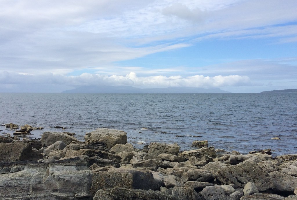
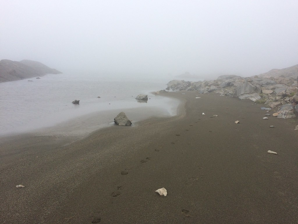
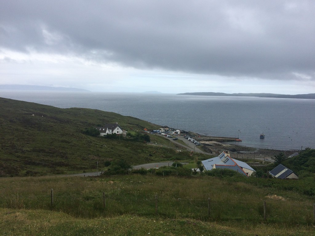 Elgol
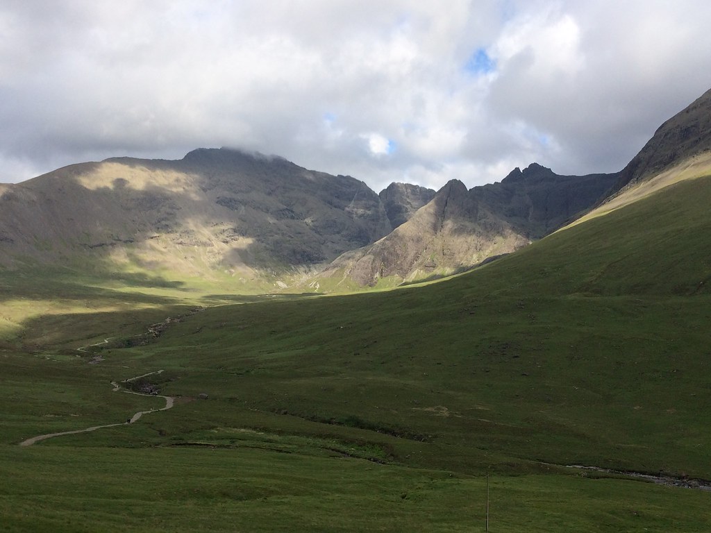
Elgol The weather was a little cool and drizzly as we started walking , but good things were promised for later in the day. Regardless of the weather, Elgol is in a spectacular place on the hillside with great views to Rum and Eigg. The path to Camasunary is pretty well defined and traverses some precipitous slopes in places; it didn't take long for the cloud to start lifting and for the Cuillin to start looking spectacular.
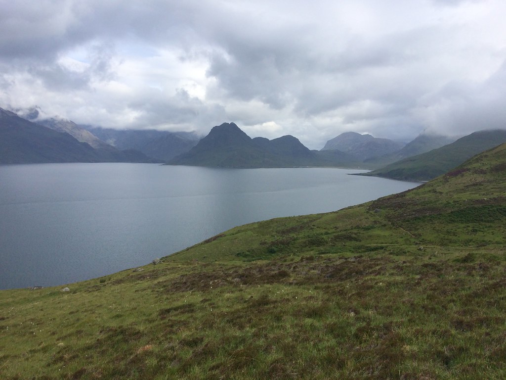 Loch Scavaig
 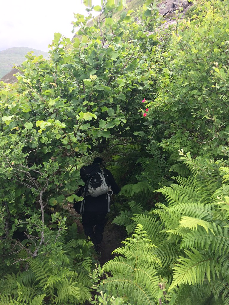 Coast path has some unexpected undergrowth
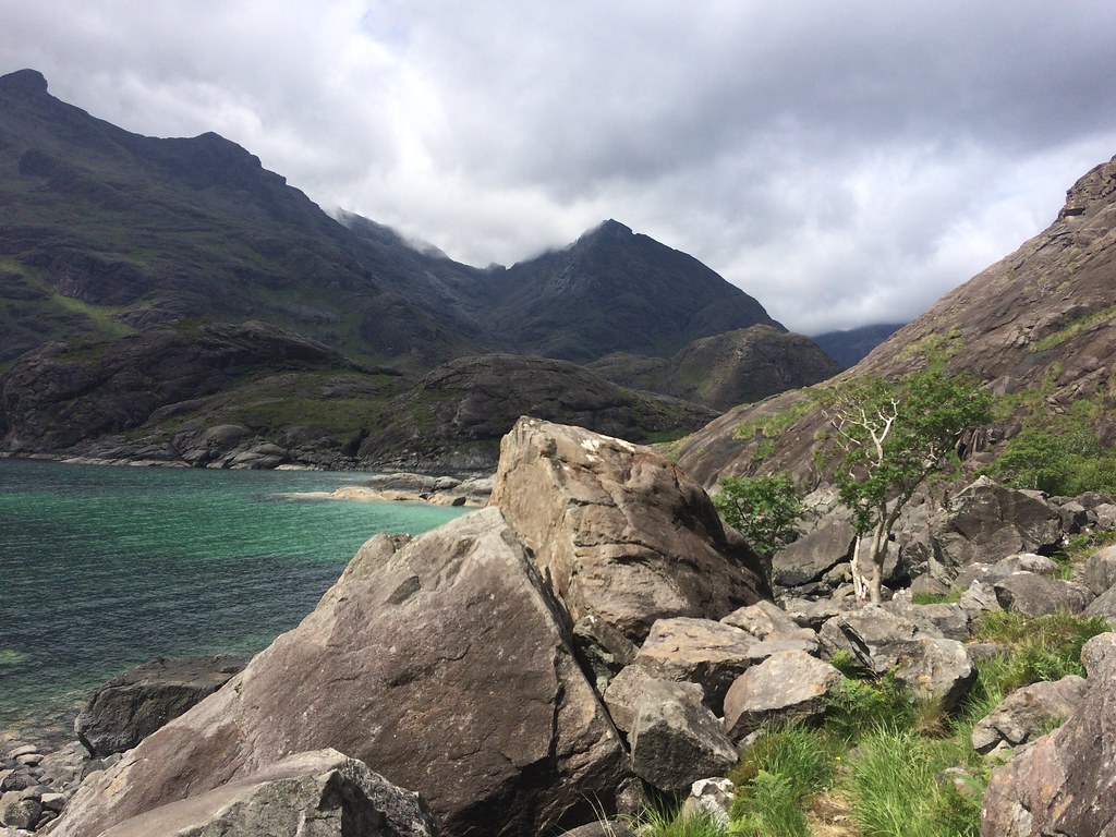
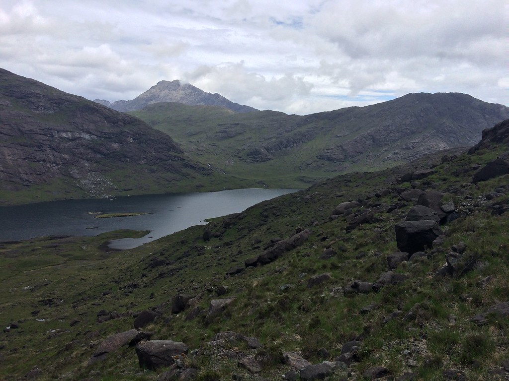
 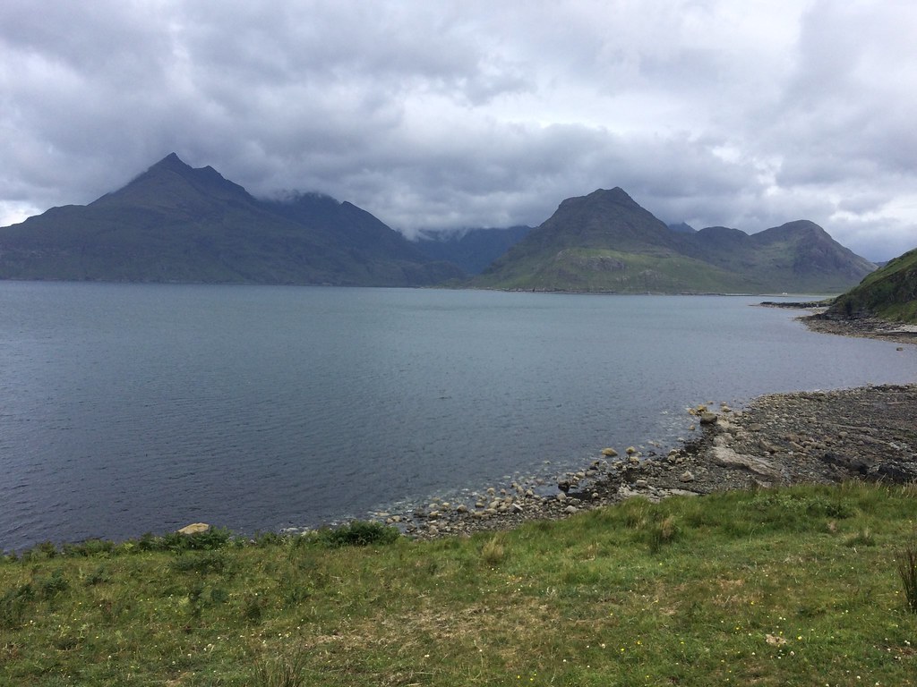 Gars-bheinn and Sgurr na Stri
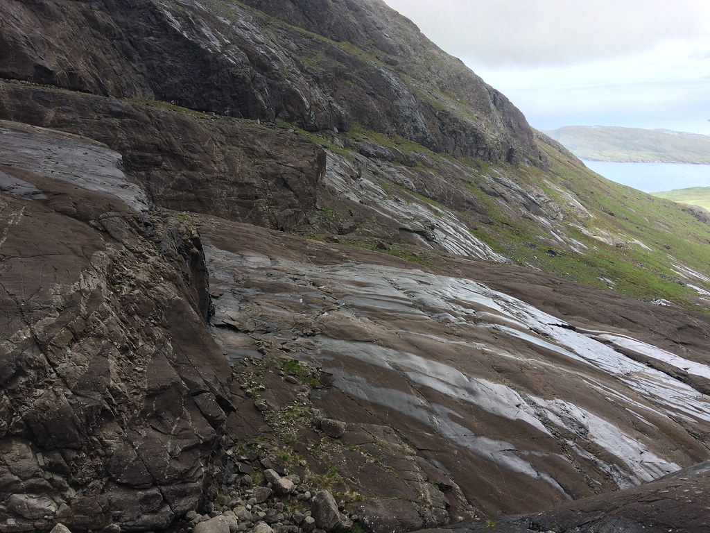
 This section of path has long been on my 'to visit' list - previously I have used the Kilmarie path over to Camasunary and missed out on this scenic section of coastline. After dropping down to cross the Scaladal Burn, we opted to stick to the shore rather than climb back up above the cliffs on the path. While a bit slow, there was some interesting geology visible in the rocks on the foreshore.
 Rum
Rum 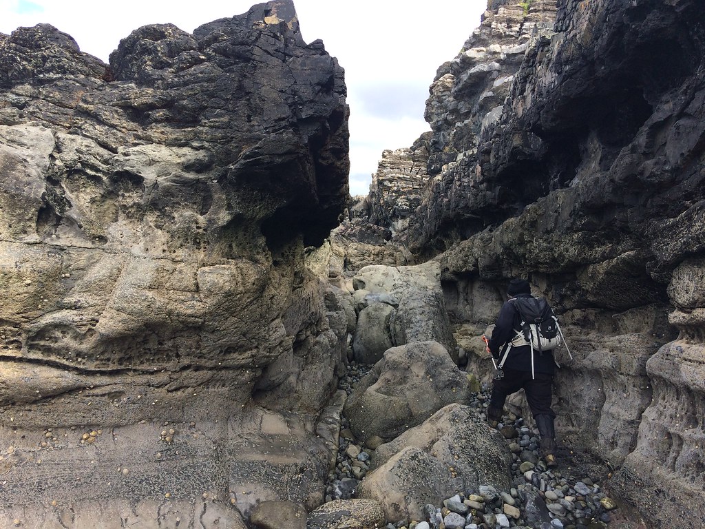 Beach scrambling
 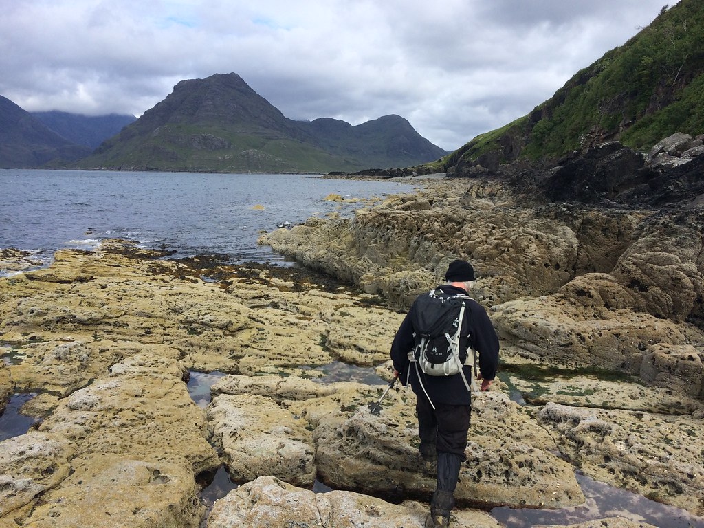 Taking the low route
 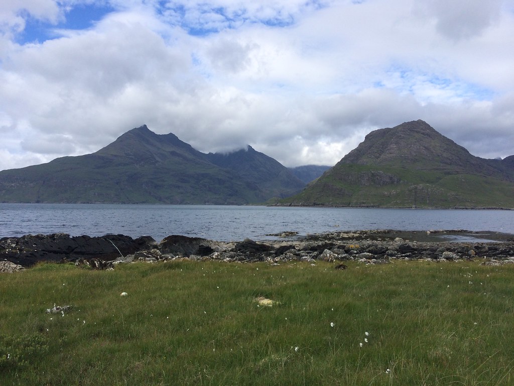 Gars-bheinn and Sgurr na Stri
 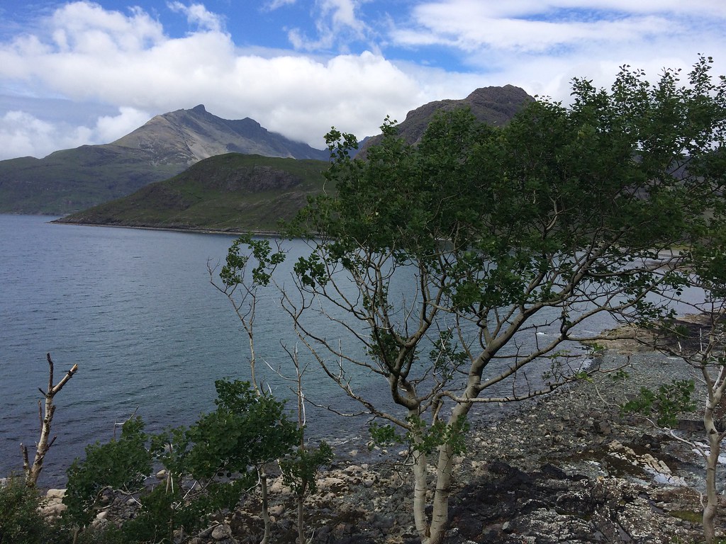 Gars-bheinn
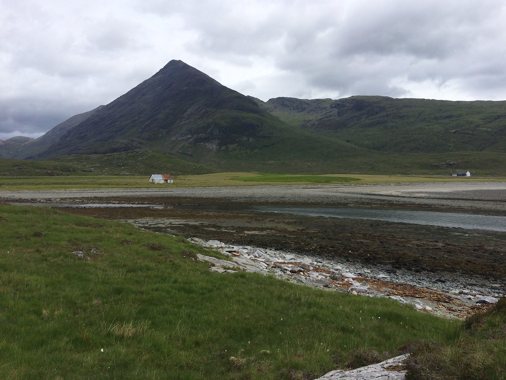
 Soon we were approaching the new Camasunary bothy. I had missed out on staying in the old one (the one chance I had, I camped on Sgurr na Stri instead, which was one of my best camping spots ever), and hadn't cared much for what I had heard about the new one as it doesn't have a fireplace. However on closer inspection it was quite nice actually, and probably worth a stay in warmer weather sometime.
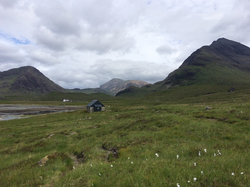 Approaching the new bothy
 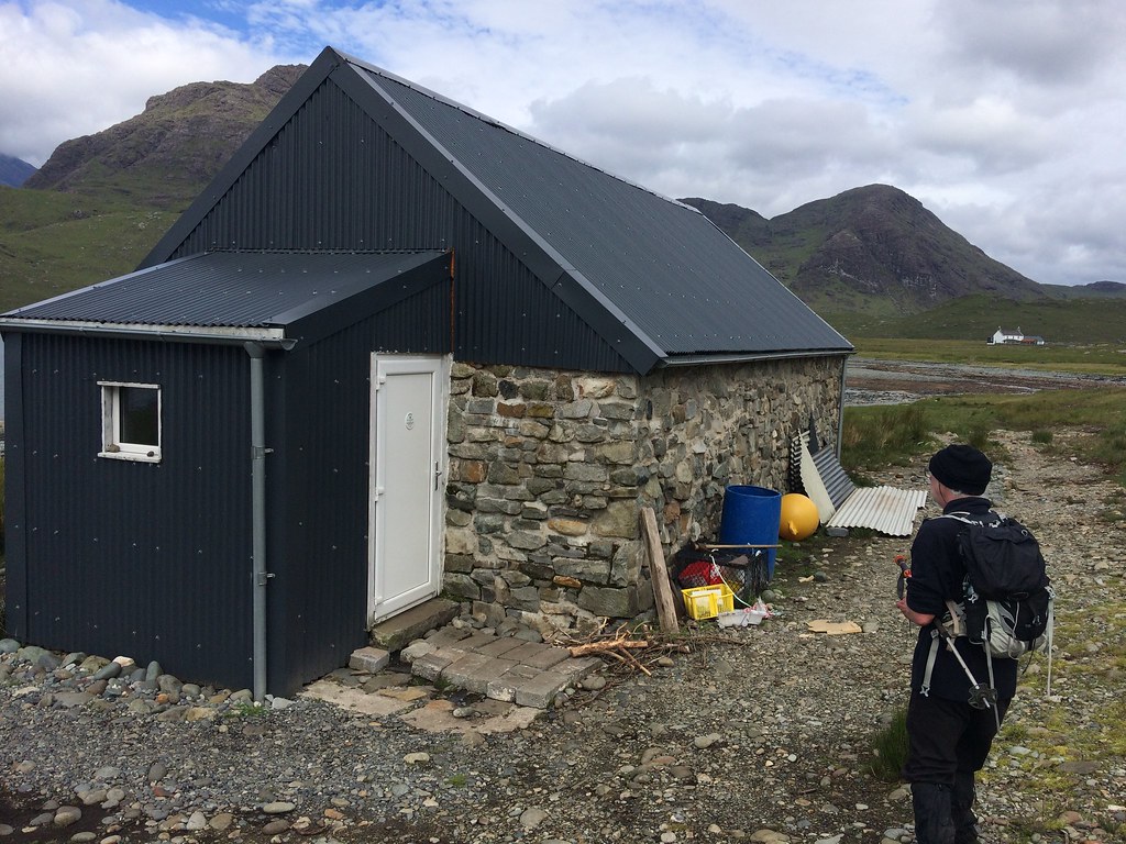 New Camasunary bothy
 We then crossed the Abhainn nan Leac and made our way along the shore of the bay past the old bothy. This looked to be in a bit of a sorry state - the supposed renovation and conversion to a private dwelling didn't appear to have been started.
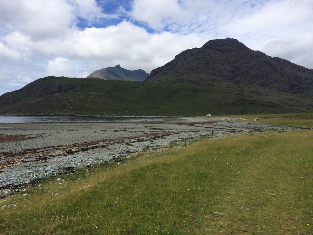 Gars-bheinn from Camasunary
 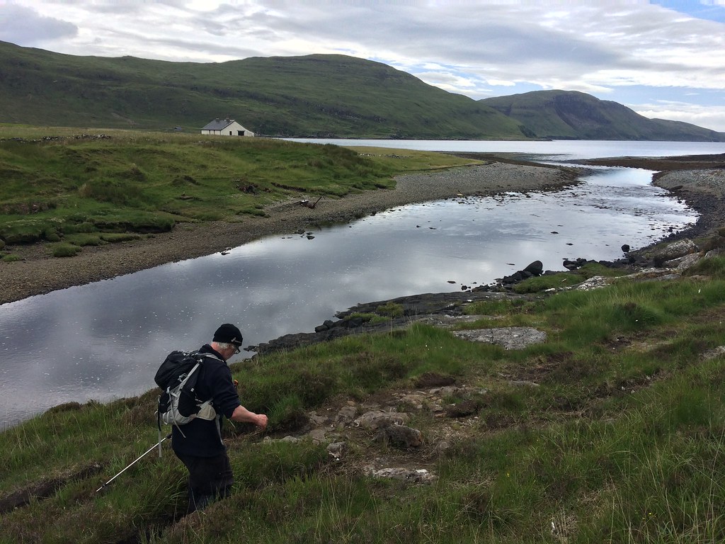 Camasunary old bothy
 Then a bit of a splash through the Abhainn Camas Fhionnairigh, which sort of has stepping stones, but not very good ones. However at least we could see where we were going, and the water levels were low. I remember crossing this in the dark one March years ago on the approach to the Coruisk hut - I think we waded it up to our knees.
 Bla-bheinn and the old bothy at Camasunary
 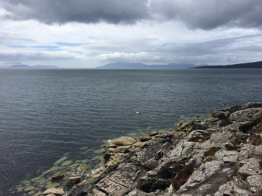 Rum
Rum The path on the far side isn't particularly easy underfoot, but it is mostly obvious. A couple of girls ran past us here - we had seen them approaching along Camasunary Bay at a fair speed and wondered if they were carrying on to Coruisk - they were, planning to meet their family there who were coming in on the boat. They left us behind pretty sharpish!
 Rounding Rubha Buidhe
 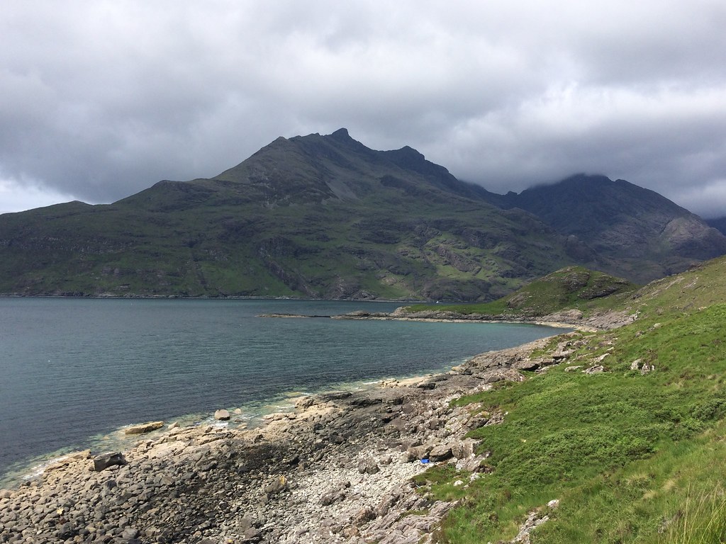 Gars-bheinn
 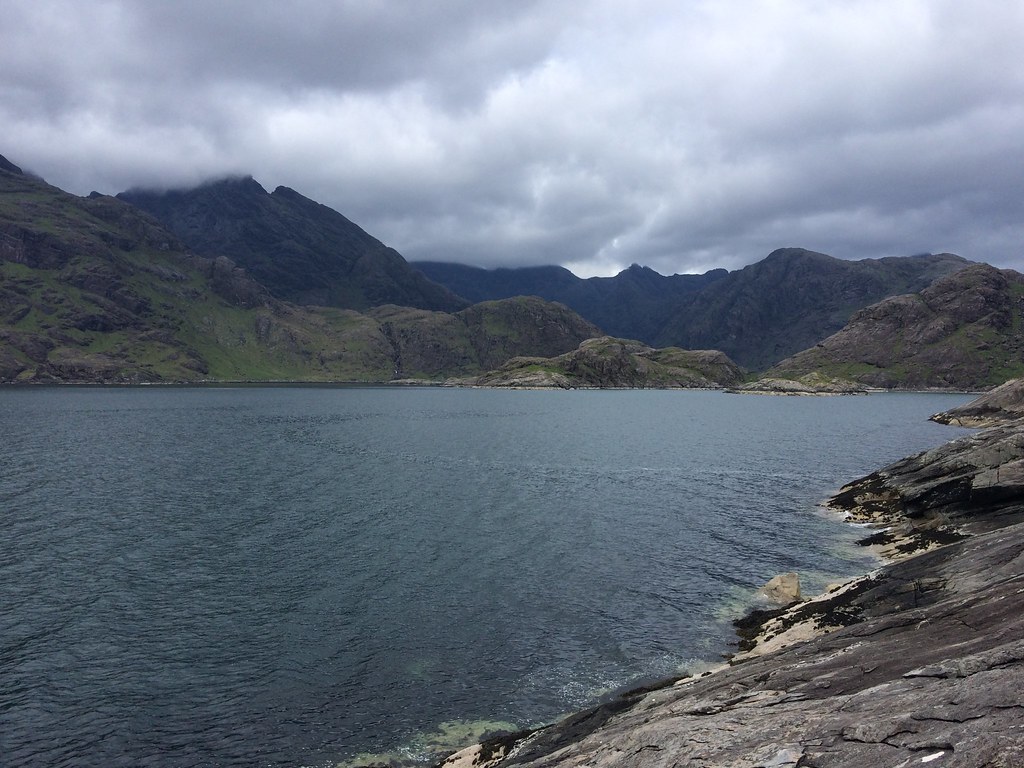 Approaching Coruisk
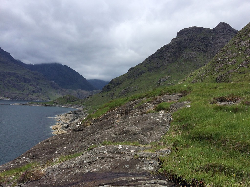
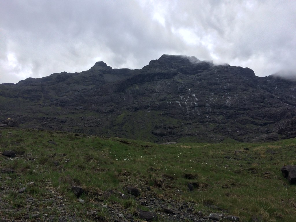
 This was a lovely section of the walk, even though it wasn't particularly fast. A buzzard was wheeling about and screeching at us from a crag above - didn't seem happy with our presence at all. Soon we were at the Bad Step, where I mis-directed Alan on the second part and we ended up too high up the slab. That was soon corrected, but I have no recollection of the next section from my previous visit - it was rough! This was a common theme of conversation actually - Alan had walked this route in 1976 with a friend, and I had walked in to Coruisk Hut in 2004, and covered most other sections of the walk at other times too. Neither of us could remember certain parts!
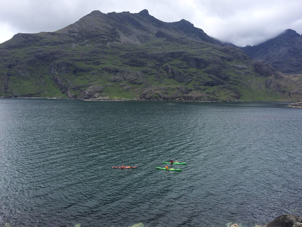 Kayakers beneath Gars-bheinn
 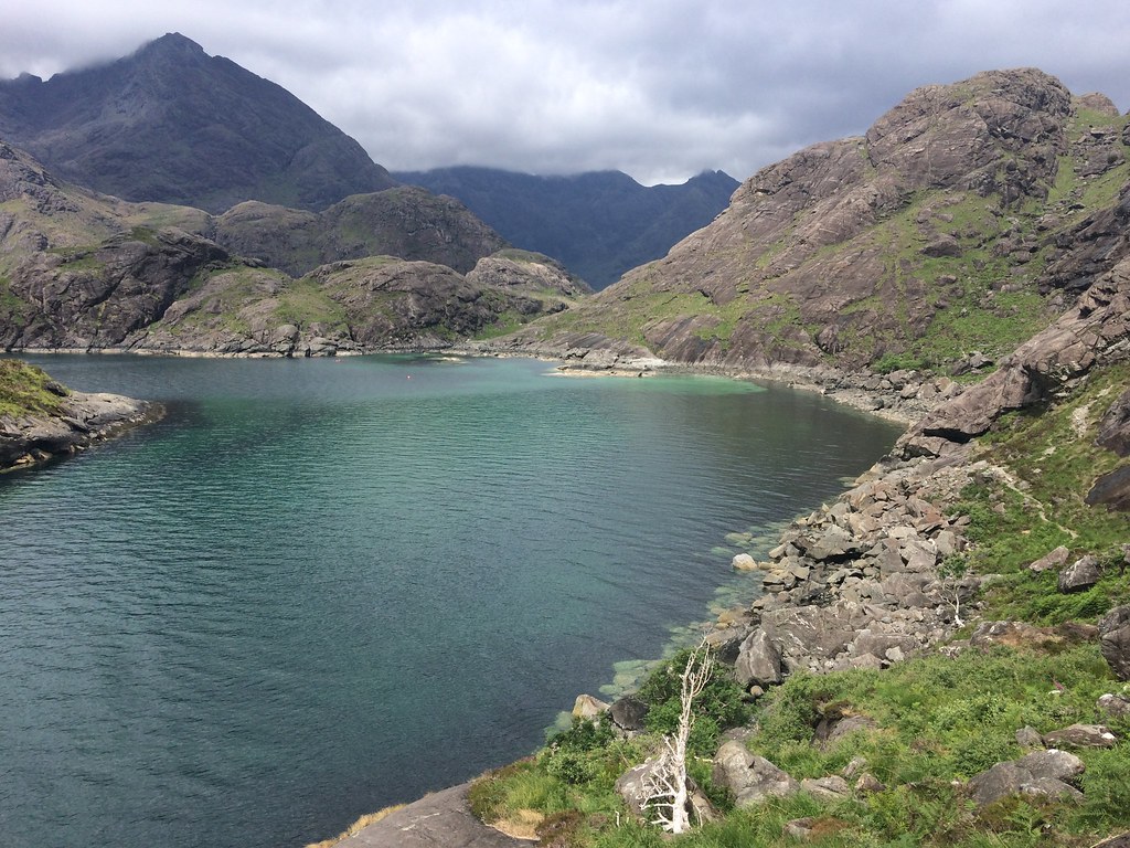 Loch nan Leachd
 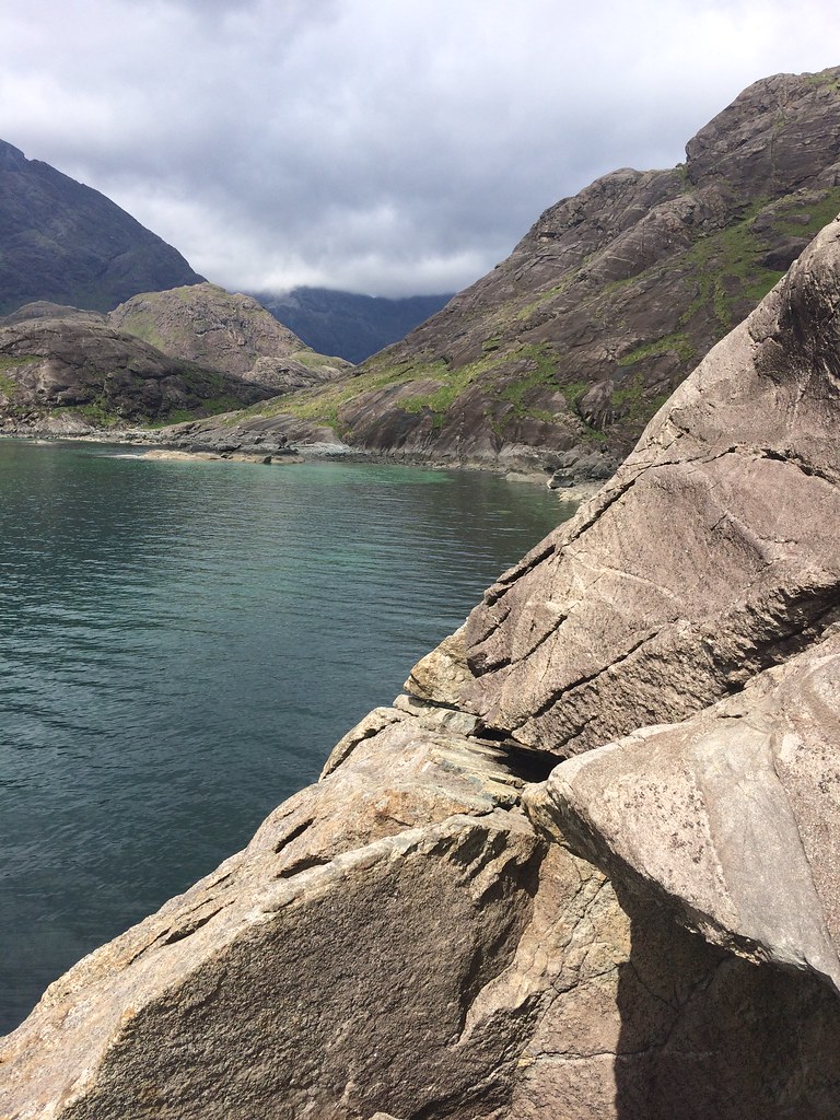 Bad Step
 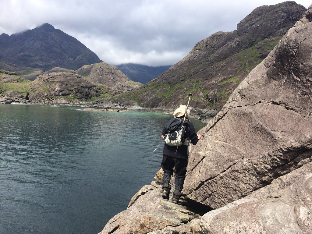 Alan on the Bad Step
 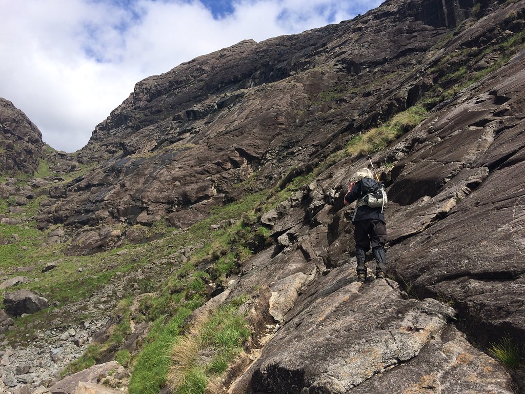 End of the Bad Step
 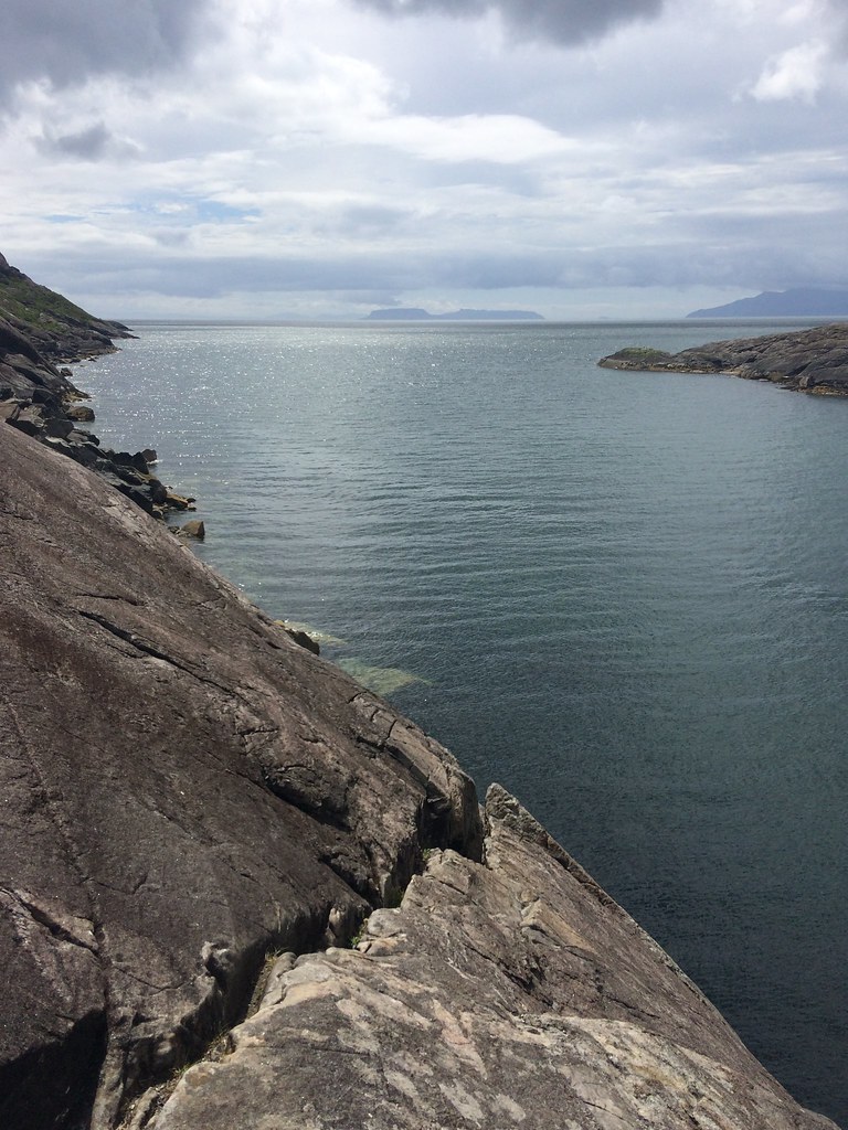 Looking back to the Bad Step
 Soon we pulled away from the coast and aimed for the mouth of Loch Coruisk, where there are stepping stones. It was quite busy down here as the boat from Elgol was in with a full complement of passengers. Great boat trip - on my first two visits to Coruisk with the university mountaineering club, we had come in by boat - in fact it was probably the first time I had seen the Black Cuillin close up.
 Approaching Loch Coruisk
 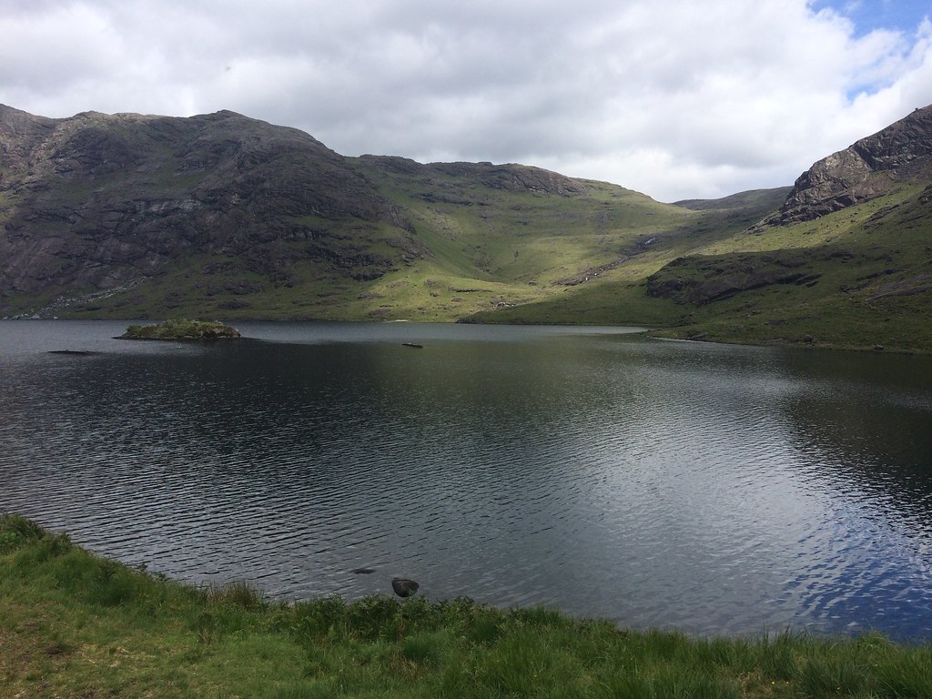 Loch Coruisk
 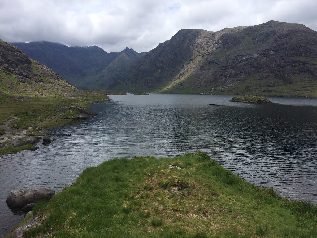 Loch Coruisk and Bidean Druim nan Ramh
 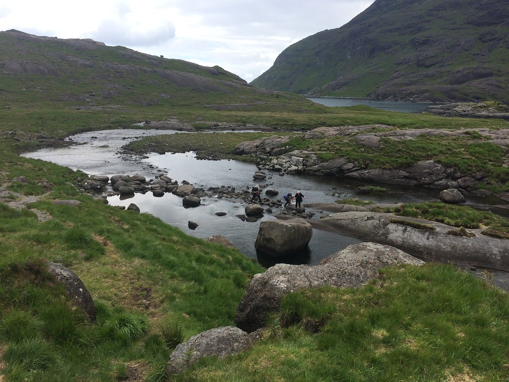 Scavaig River
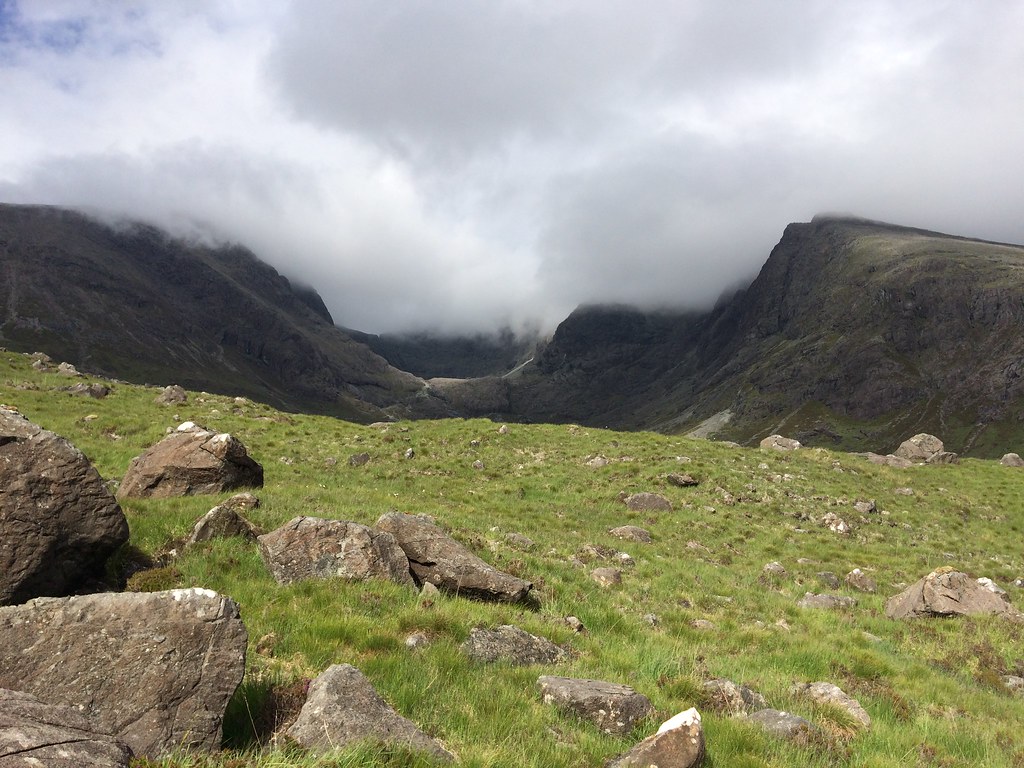
 I had originally assumed that Alan would want to continue around the coast via Ulfhart Point, which would be extremely rough going. However he wasn't too bothered about including every single headland, so had been planning to use the Bealach a' Garbh-choire as a route to Glen Brittle. This suited me fine - I haven't been up on the Cuillin ridge in over 10 years, so it would be a welcome return. We followed the path alongside the shore of Loch Coruisk for a bit before climbing up into An Garbh-choire.
 Bla-bheinn and Loch Coruisk
 It's a pretty relentless ascent, with a number of sections separated by more level areas. There is a bit of a path etched in places, although it is pretty hard to trace where there is only solid rock to walk on (which is a lot of the route). There was evidence of newish rockfall on the southern wall of the corrie, and even last fortnight's rock-fest in Ardgour seemed pretty tame compared to this. Higher up, there are massive boulders to contend with, and a cold breeze and lowering cloud made for a very unseasonal feeling - I even had my gloves out at one point.
 Gars-bheinn and Sgurr a’ Choire Bhig
 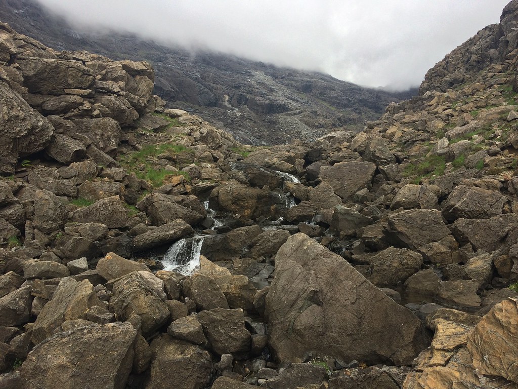 Allt a’ Chaoich
 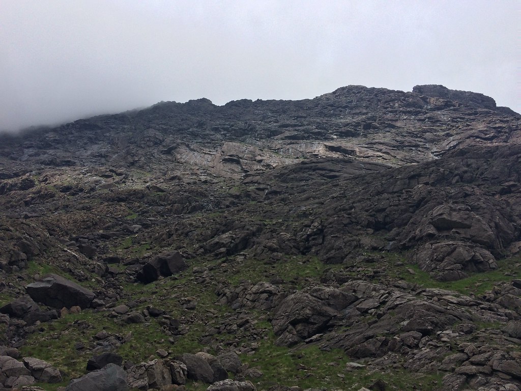 Dubh ridge from below
 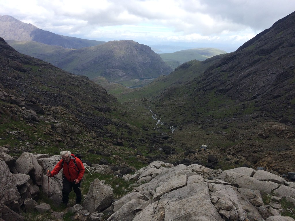 Alan in An Garbh-choire
 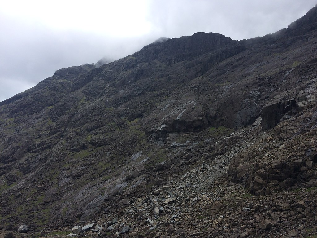 Sgurr nan Eag. Note new rockfall at bottom of photo
 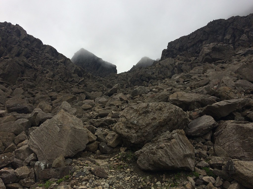 Head of the corrie and Caisteal a’ Garbh-choire
 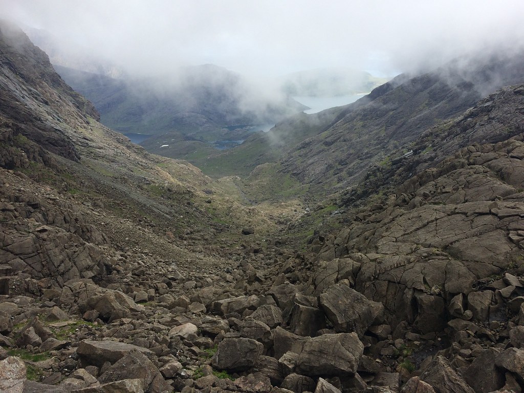 Looking back down An Garbh-choire
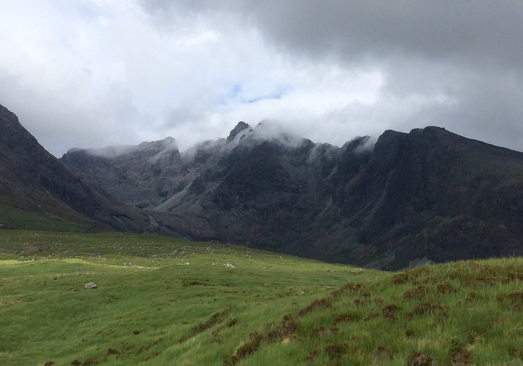
 Although the great castle of rock sitting on the col was visible for quite a time, it took an age to reach it. Had the cloud been clear of the summits, I would have been tempted with a quick dash to Sgurr nan Eag or a slightly more considered shuffle to Sgurr Dubh Mor, but the wind was howling and the clag down, so why bother?
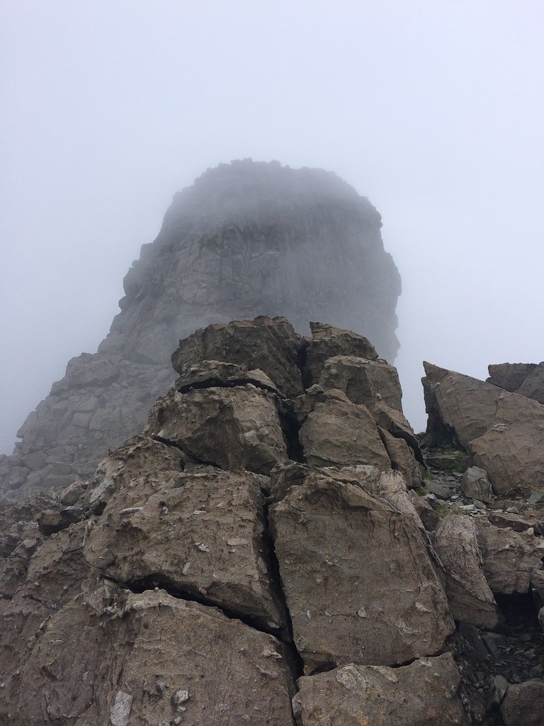 Caisteal a’ Garbh-choire
 Then a short, steep descent took us down to Loch a' Choire Ghrunda, where I was hoping the views would improve as it is one of the best corries in the Cuillin. However there were only imtermittent clearings in some directions so we circled the loch and picked up the path down to Glen Brittle.
 Not quite what I was after!
 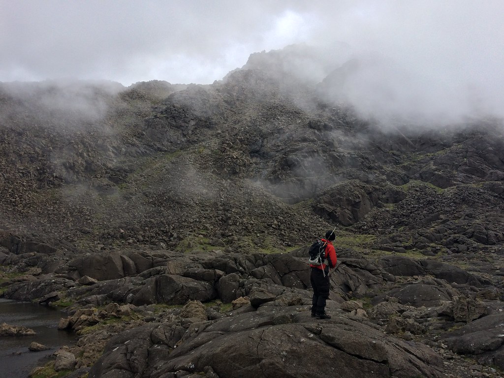 Sgurr nan Eag from the corrie
 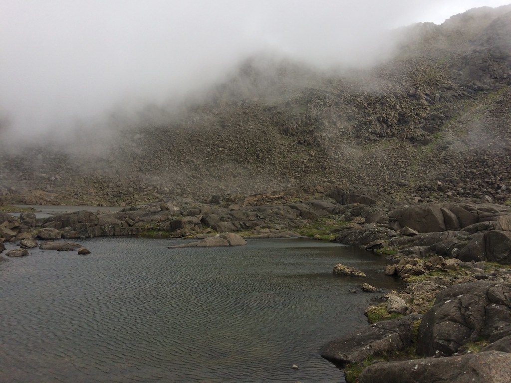 Loch Coir' a' Ghrunda
 The only thing I could remember about the way out of the corrie is that you had to stick to a specific line away from the stream, as there are large crags almost everywhere. Even with a path to follow, we had to reverse back out of a couple of awkward descents and try another way. Lower down, the crag and slab architecture made up for not being able to see much at the lochan, plus the Outer Hebrides were on view in the distance (not that my camera could pick them up).
 Slabs in lower Coire a’ Ghrunda
 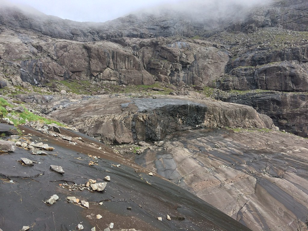 More slabs
 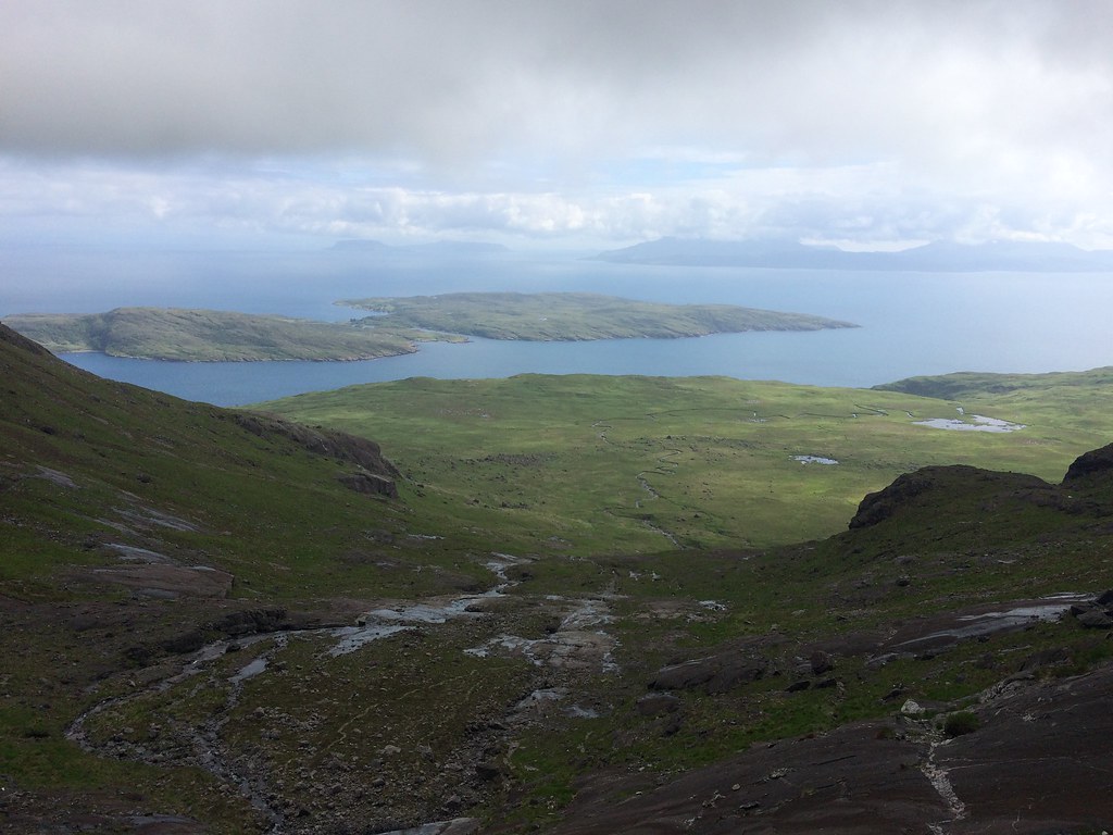 Soay and Rum
 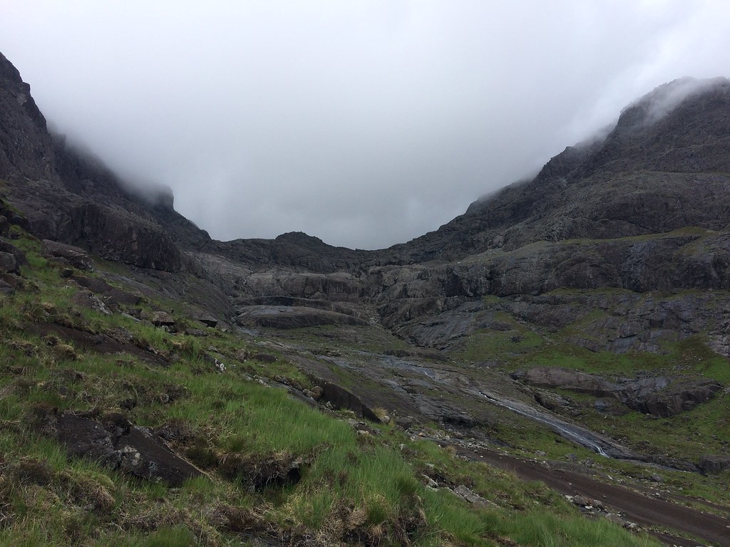 Looking back to Coire a Ghrunda
 We eventually extracted ourselves from the corrie and followed a poor path. I remembered the path being bad, but better used than what we were on. Alan dropped down a bit lower and found a (relatively) recently constructed path that led all the way back to the campsite. I don't know when this was built but I'm pretty sure it wasn't there in the mid-2000s.
 Coire Lagan
 Even with the cloud down, Coire Lagan looked impressive, and gradually it lifted until Sgurr Alasdair was just about clear.
 Sgurr Mhic Choinnic and Sgurr Alasdair
 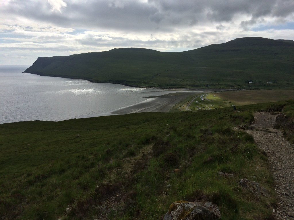 Loch Brittle and the campsite
 Finally back at the car, we headed round to Elgol. What a great day - made me wonder why I have avoided the Cuillin for so long. I know my exposed, difficult scrambling days are probably behind me, but there are plenty of places that are more easily reachable on the main ridge.
 Sgurr an Fheadain and Bidean Druim nan Ramh
 We stopped in Broadford for a chippy on the way round, then Alan made me a gratefully received brew once we got back to his car at Elgol. Although time was marching on again, I decided to stop off on my way home to go up Ben Meabost. Nice and quick, and it promised to have great views.
_____________________________________
I parked up at the Drinan junction and picked up an animal track up the hill. Although the hillside was very steep, it was used for sheep and cattle grazing, so the vegetation was low. A faint path led me to a break in the crags that protect this side of the hill, from where it was a short stroll to the summit cairn.
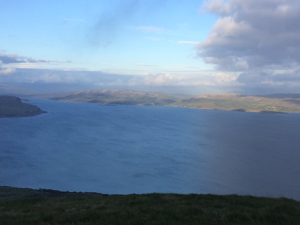
 Loch Slapin
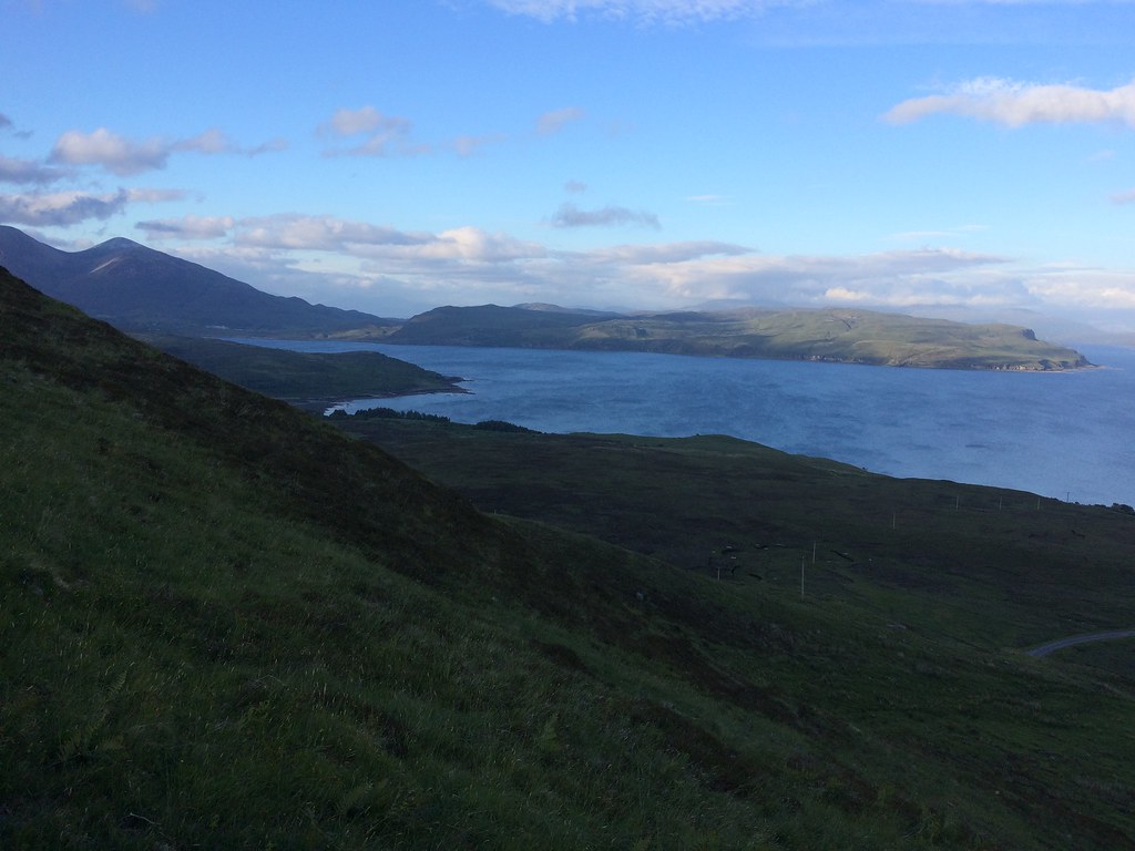
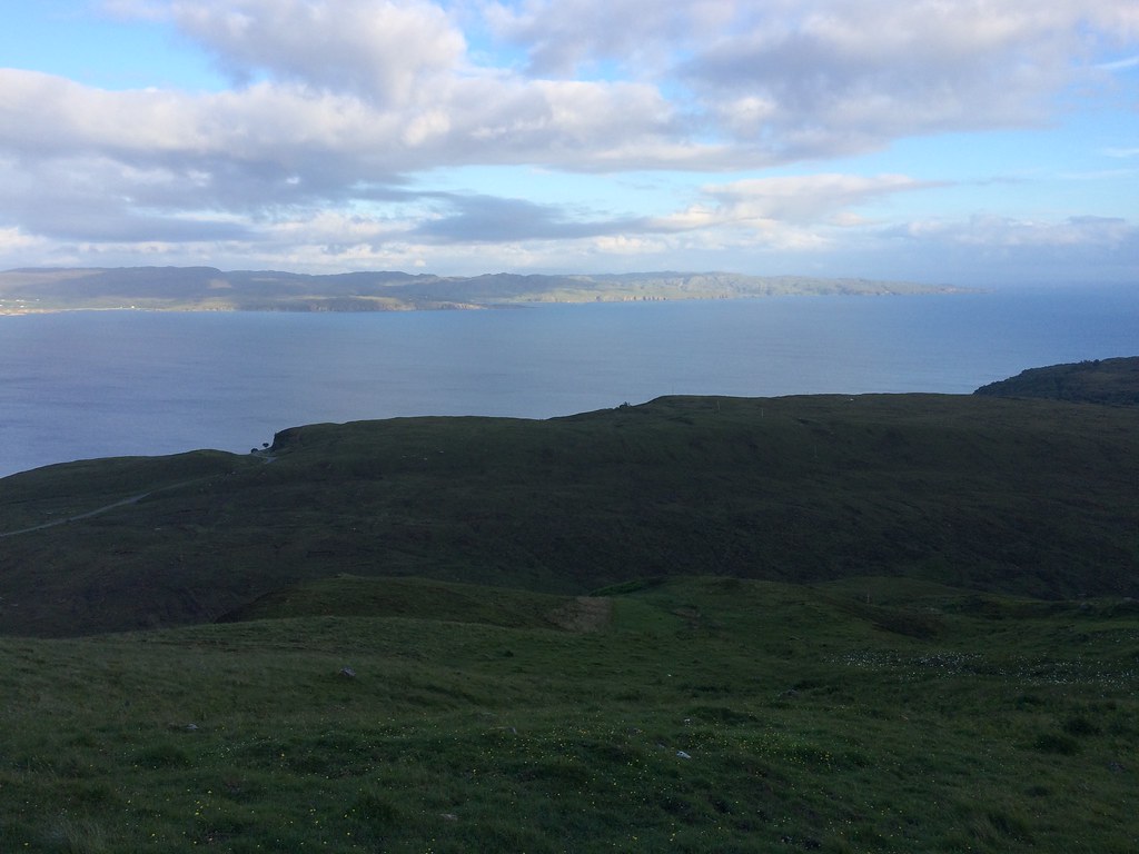
 While the Sleat Peninsula and the Red Hills above Broadford kept my interest on the way up, the outlook across Loch Scavaig to the Cuillin would potentially be even better. The cloud had settled over the main ridge for the evening but Blaven still stood out impressively. Rum, Soay and Eigg were on good display too, with Barra and South Uist again lurking in the background. These sort of summits are my favourite
.
 Sleat Peninsula
 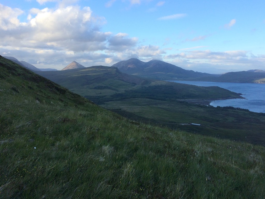 Beinn na Cro and Beinn Dearg/Beinn na Caillich
 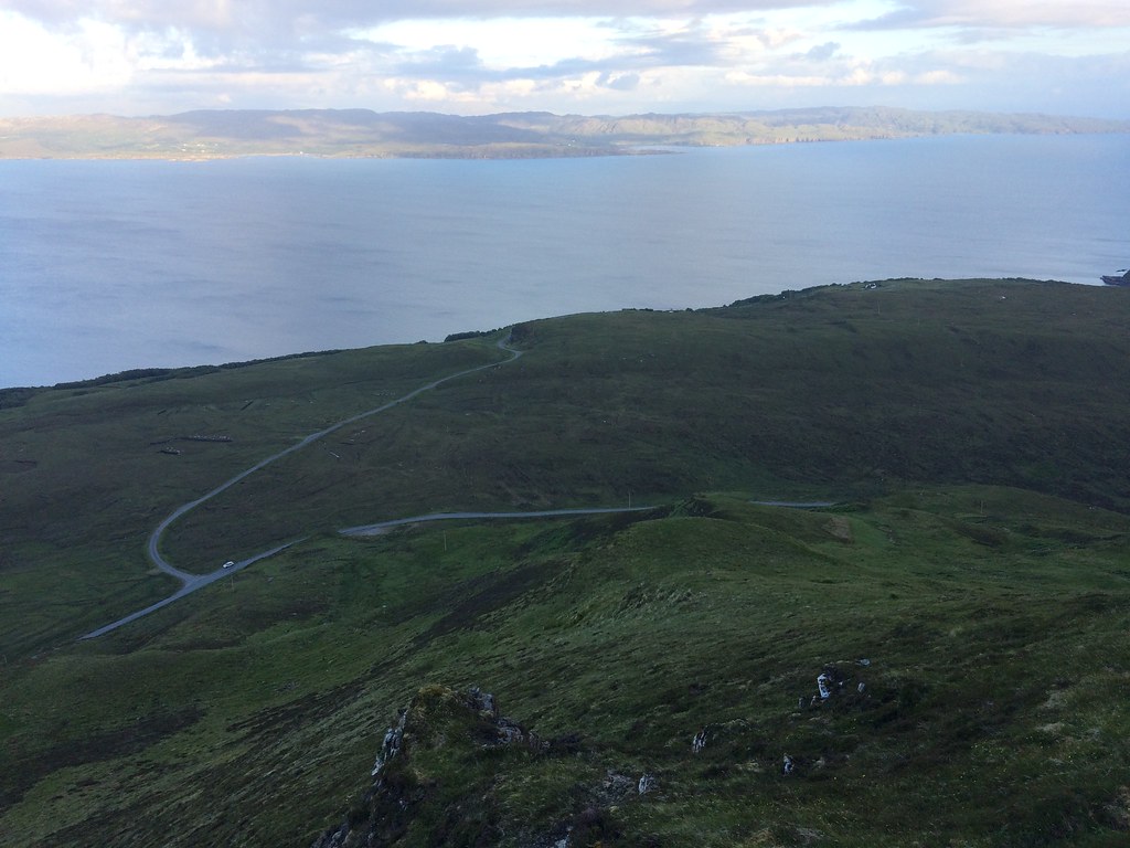 Sleat and the start of the walk
 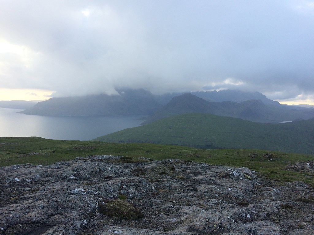 Loc Scavaig and Sgurr na Stri
 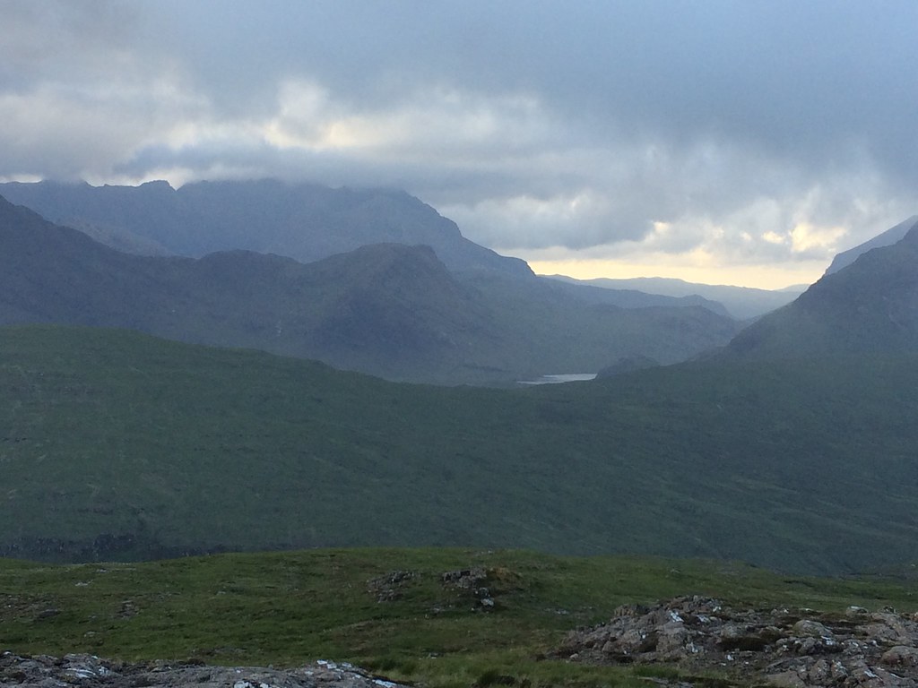 Sgurr nan Gillean - some of it
 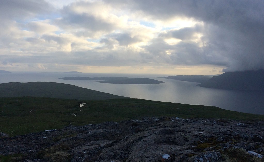 Soay
Soay 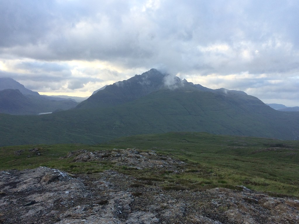 Bla-bheinn from Ben Meabost
 Back to the car was even quicker - probably less than 10 minutes if I hadn't stopped to take advantage of a 4G signal.
 Across to Ord and Sgiath-bheinn an Uird
 Then home for 11pm. A much better Friday than I had anticipated at the start of the week

. Cheers Alan for having me along
.
