free to be able to rate and comment on reports (as well as access 1:25000 mapping).
This outing was another Borders visit on my return home from Englandshire, only decision was where to head, I have 7 Marilyns left on the east side of the M74 so the plan was to try and visit more than one in the limited time I had available.
After studying the map and reading reports my decision was made.
On my last WR I was slagging off the Satnav in my SEAT car, I have to confess that humble pie has to be eaten. After messing about with the Satnav I found out that I can enter Lat & Long co-ordinates. Having said that the Lat & Long on here which I use all the time doesn't compute with other systems. I came up with a cunning plan and put the Lat & Long from here onto Google maps and hey presto it worked a treat.
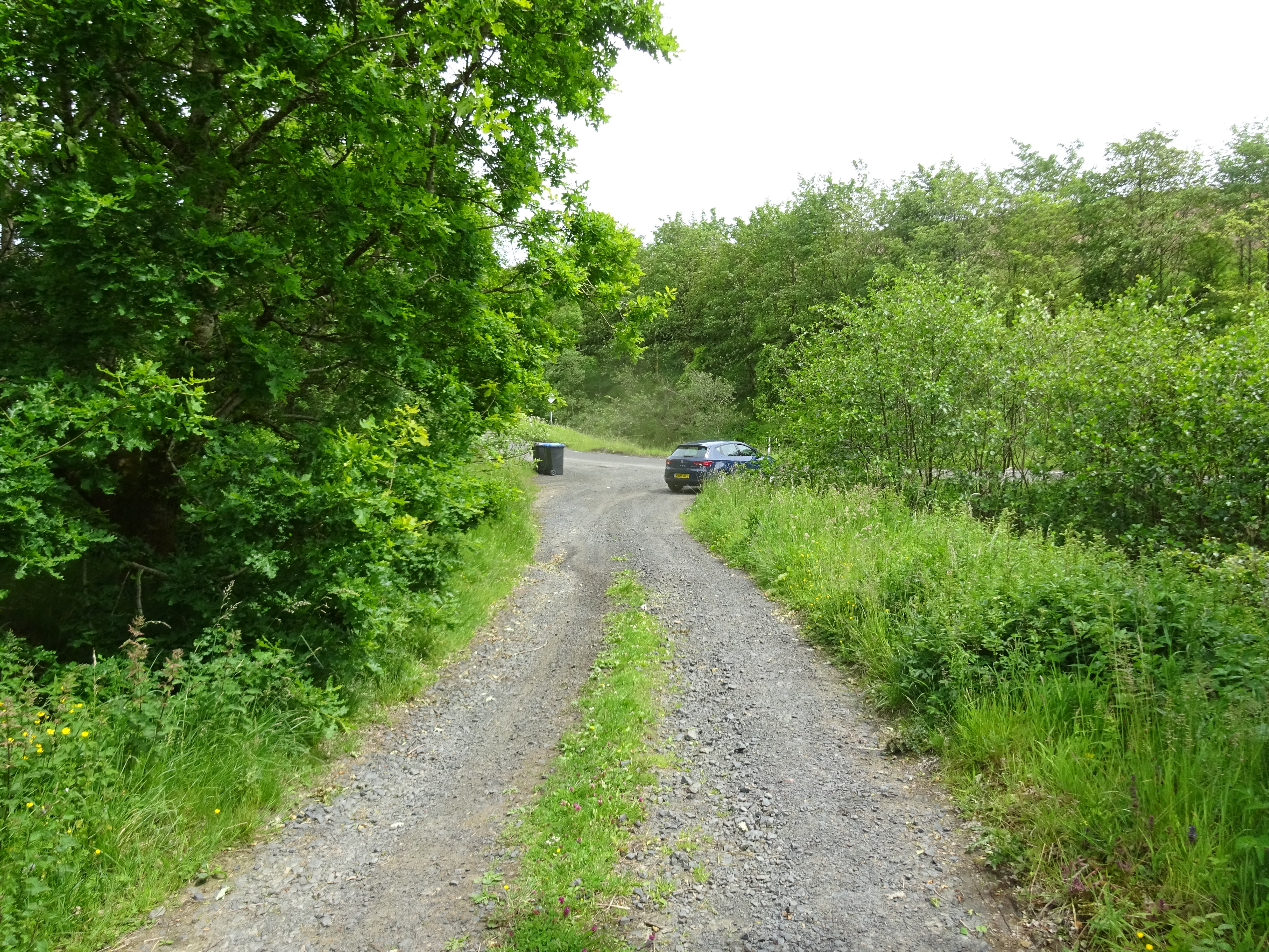
I wasn't totally convinced it was going to work so I opted for Blackwood Hill as I knew where the start point was (roughly). As I have stated on umpteen previous reports, to me the most important part of the walk is starting at your selected start point, anyone who has read any of my previous reports will notice I always take a photo of where I park my car as it also indicates how many spaces are available.
Enough of the minor details, my planning of the walks involved plotting my route on the GPS system and downloading it onto my spare phone. Once again a huge thanks to Inca as his descriptive reports helped again and I would loosely follow his routes. I had my bike in the back of the car as I knew there were tracks before the 'real' walking would begin.
I left Cheshire at about 8am and arrived at my hand picked parking spot at 10.30 and after extracating the bike from the back of the car I was on my way.
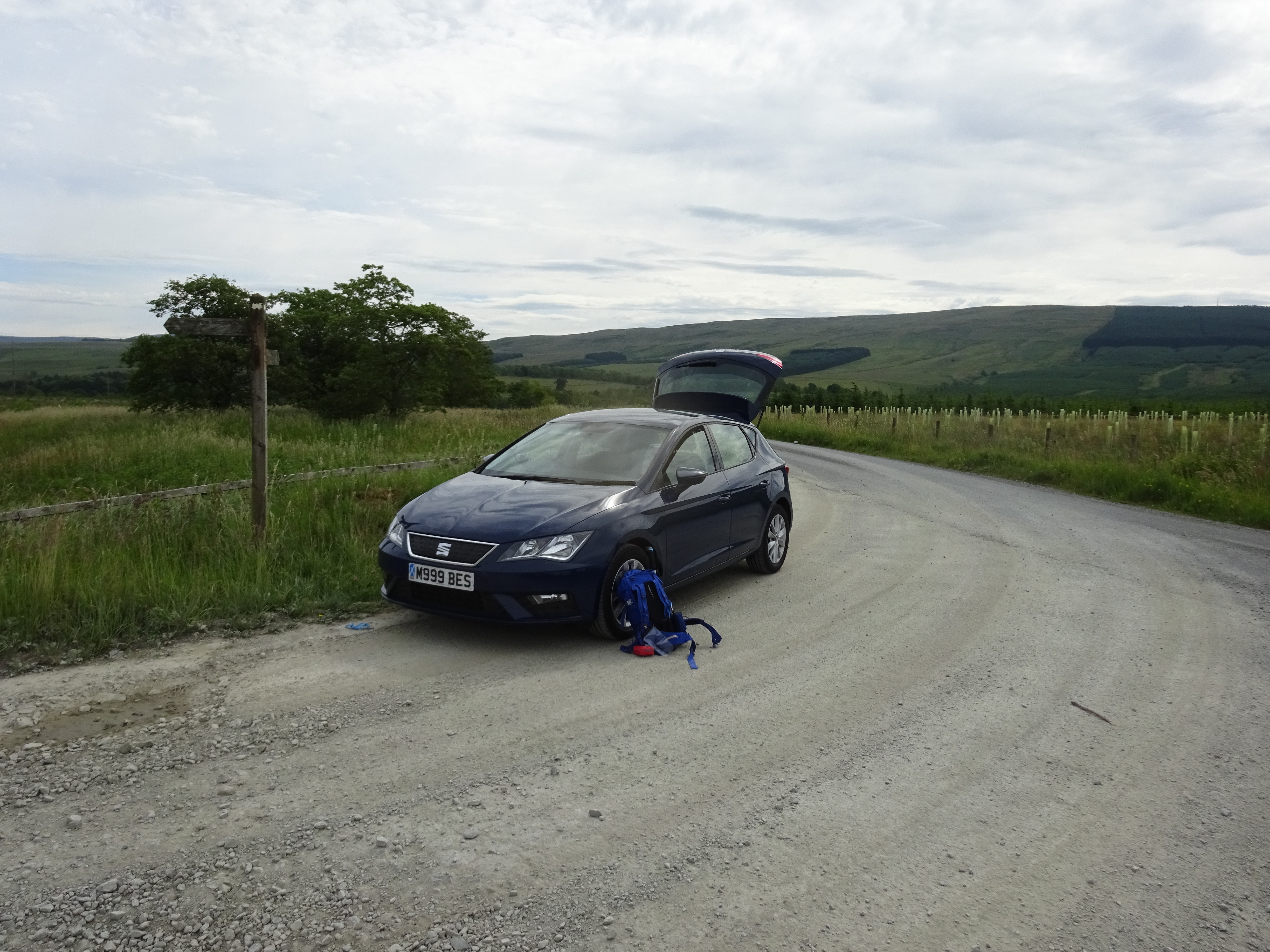
Parking area at the track entrance

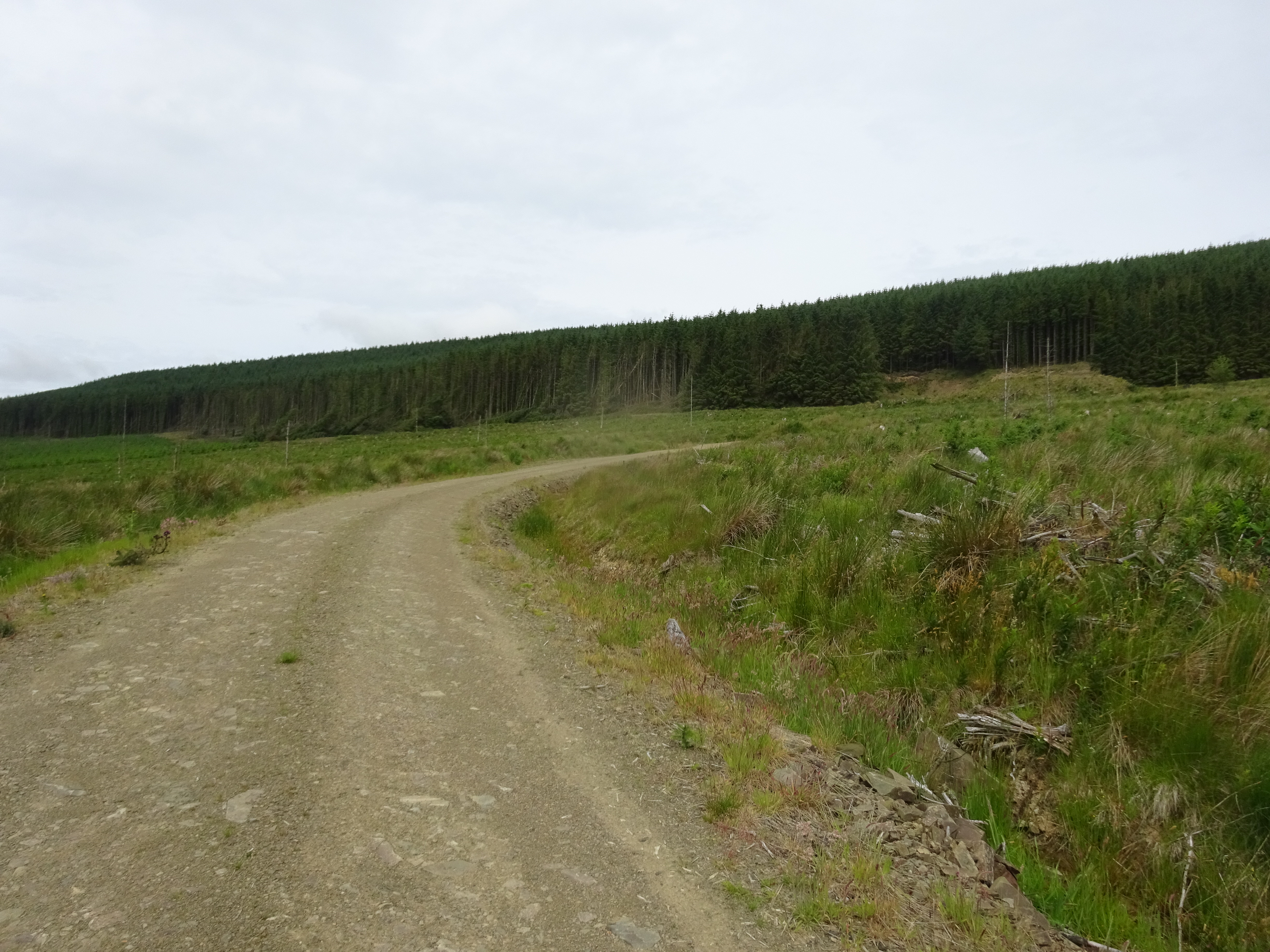
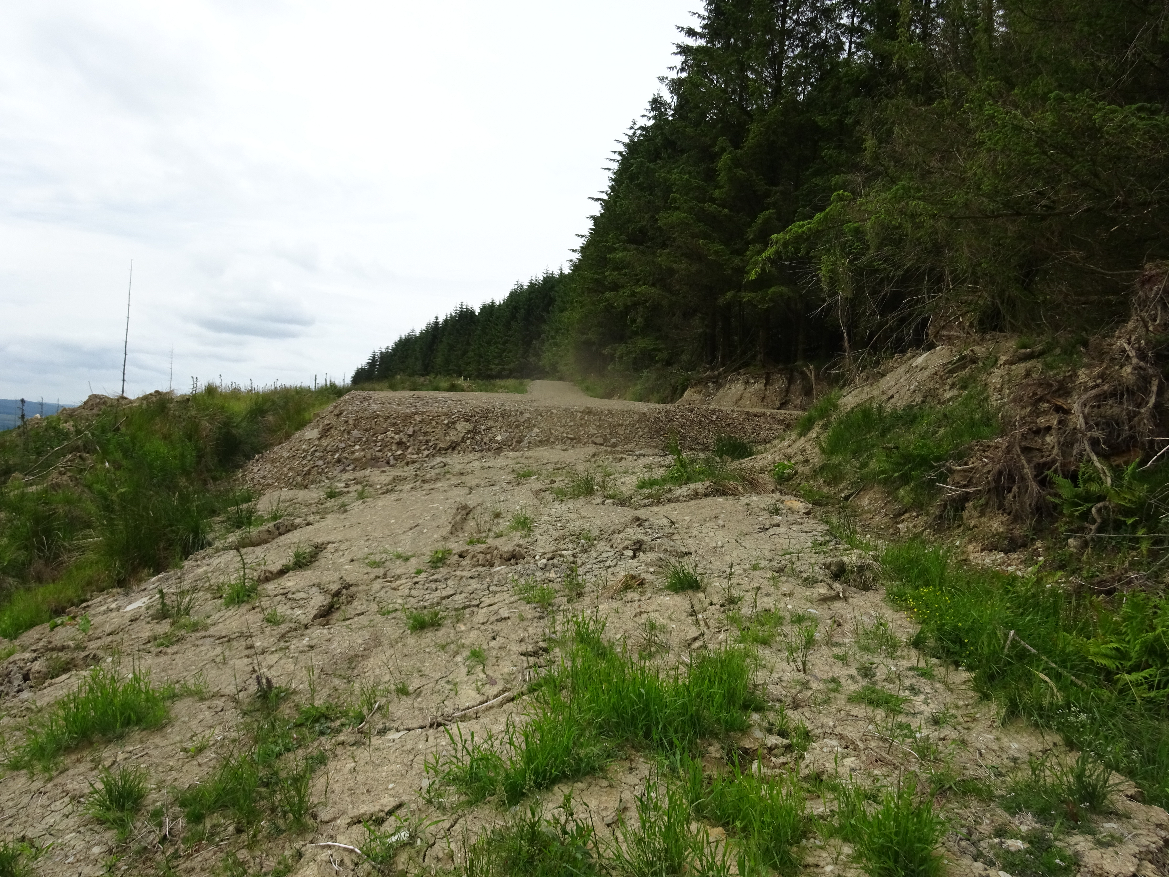
The way ahead, one of the better tracks
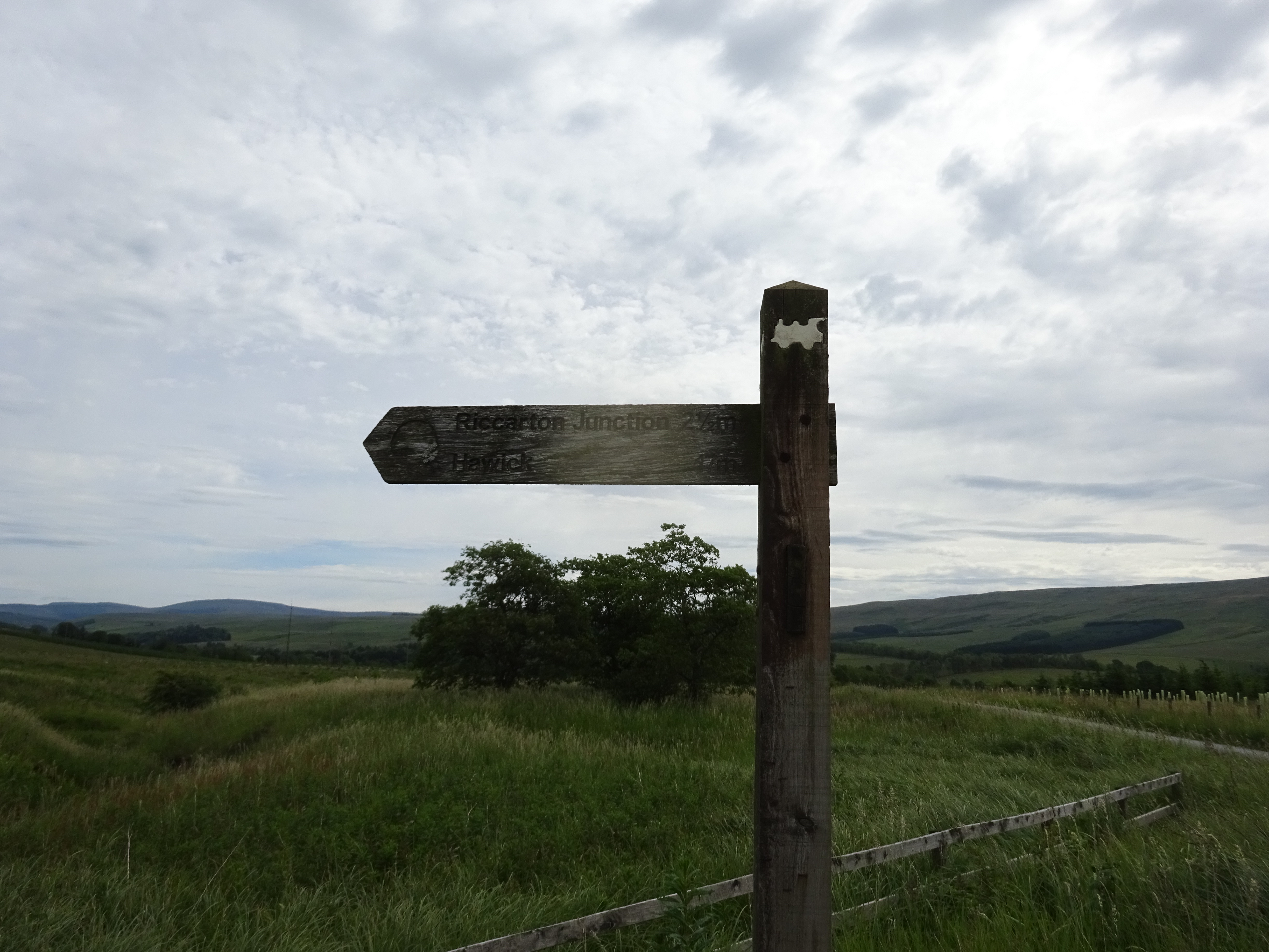
Not sure why the wee train is on the sign post, the track does utilise an old disused railway line

Left turn onto this part of the track, that was even better
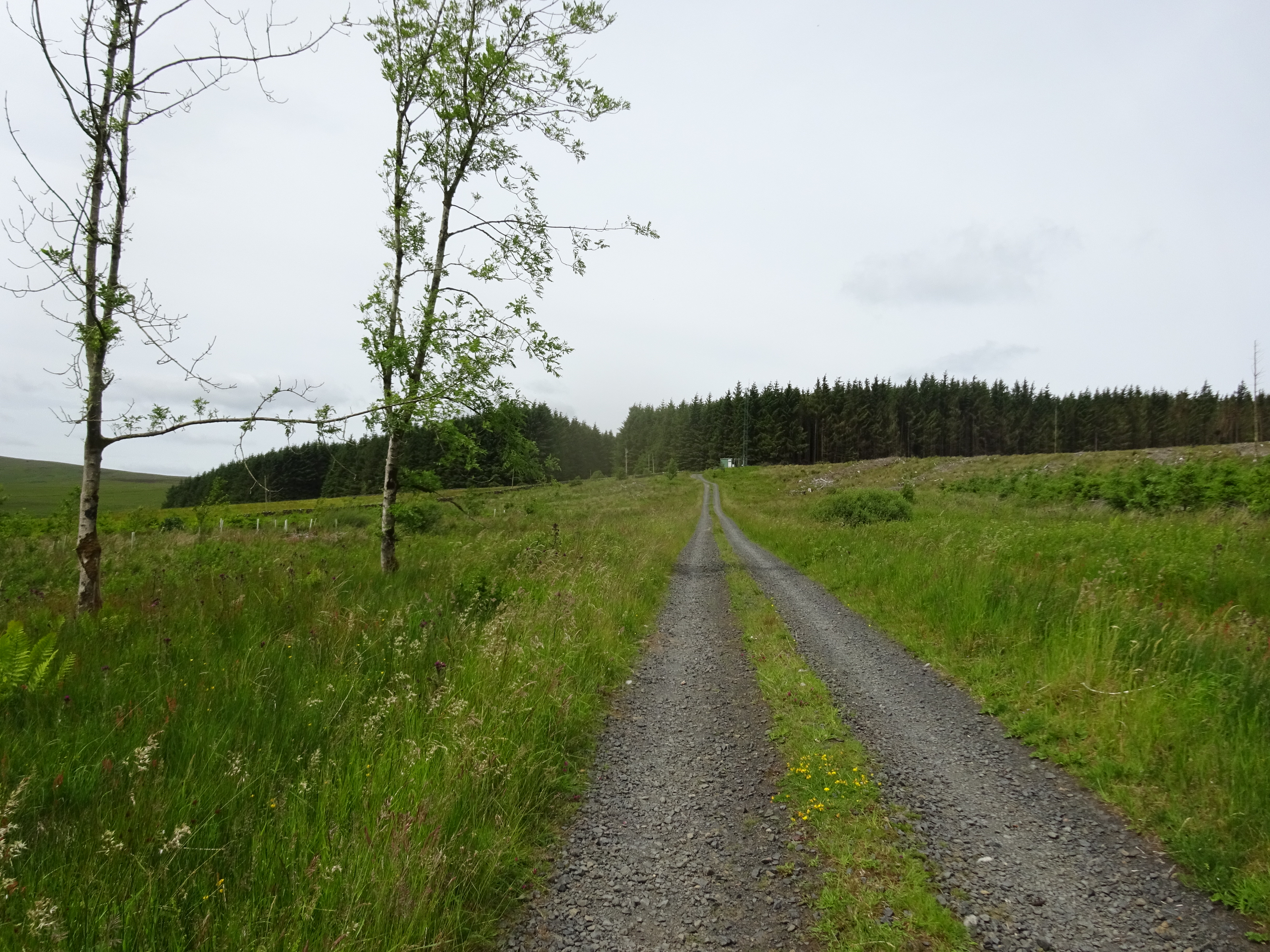
The way up and ahead, the summit is on the far side of the forest
It wasn't too long before I dismounted and pushed the bike uphill until she was carefully dumped, I am always a bit wary about cycling too hard uphill and like to try and save my energy for the walking.

Bike park
After parking/dumping my bike it was now time to find a route through the forest uphill, I wandered in both directions expecting to find a fire break that is on the map - without success. There was nothing for it but to take the plunge and find the next best thing to a fire break, a gap in the trees that looks as if I could head uphill.

Just to highlight the problem of finding a decent access point

Definitely not an access point

Came across this wee chap whilst wandering along the track
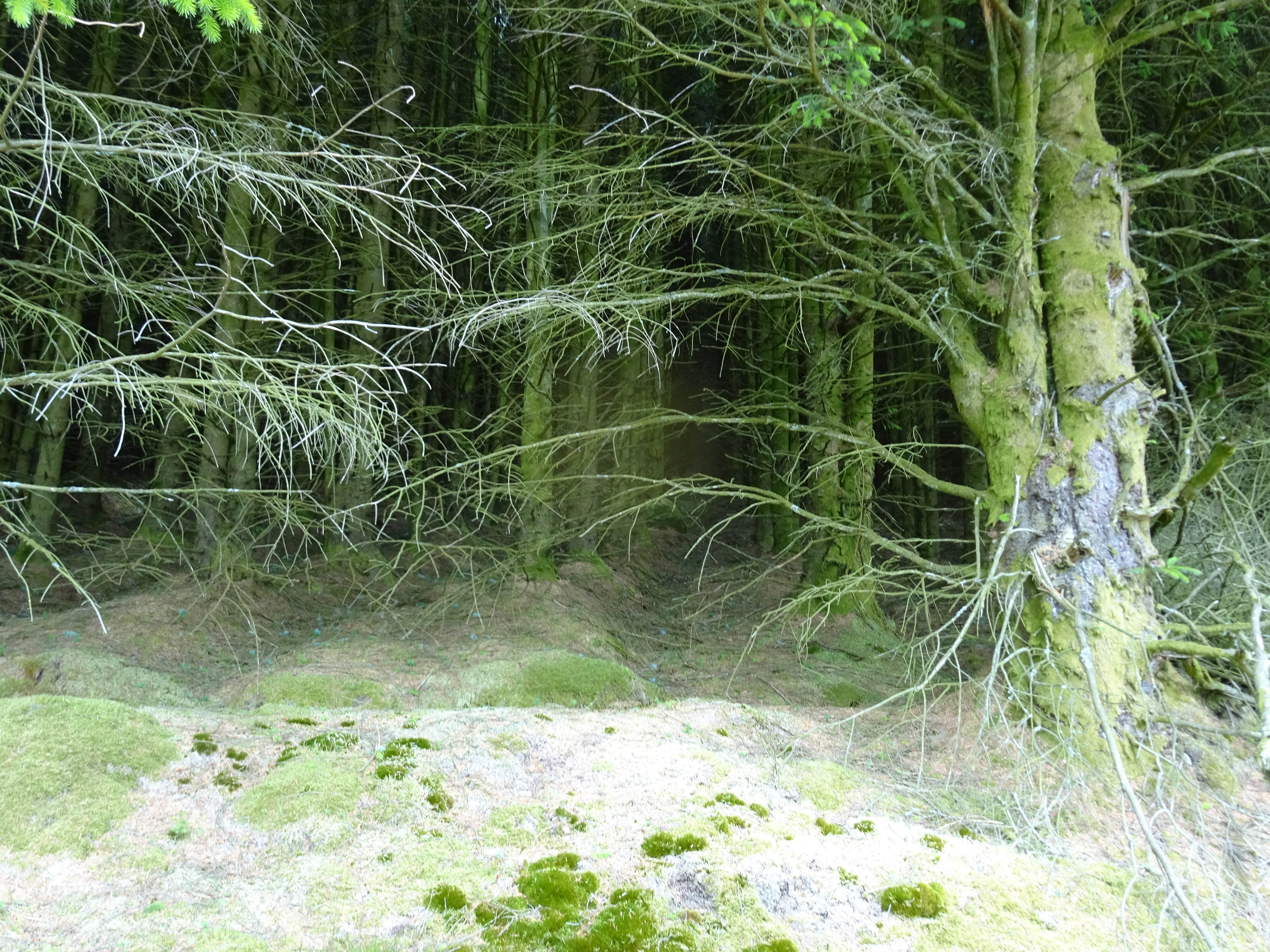
This was my access point, looks challenging?
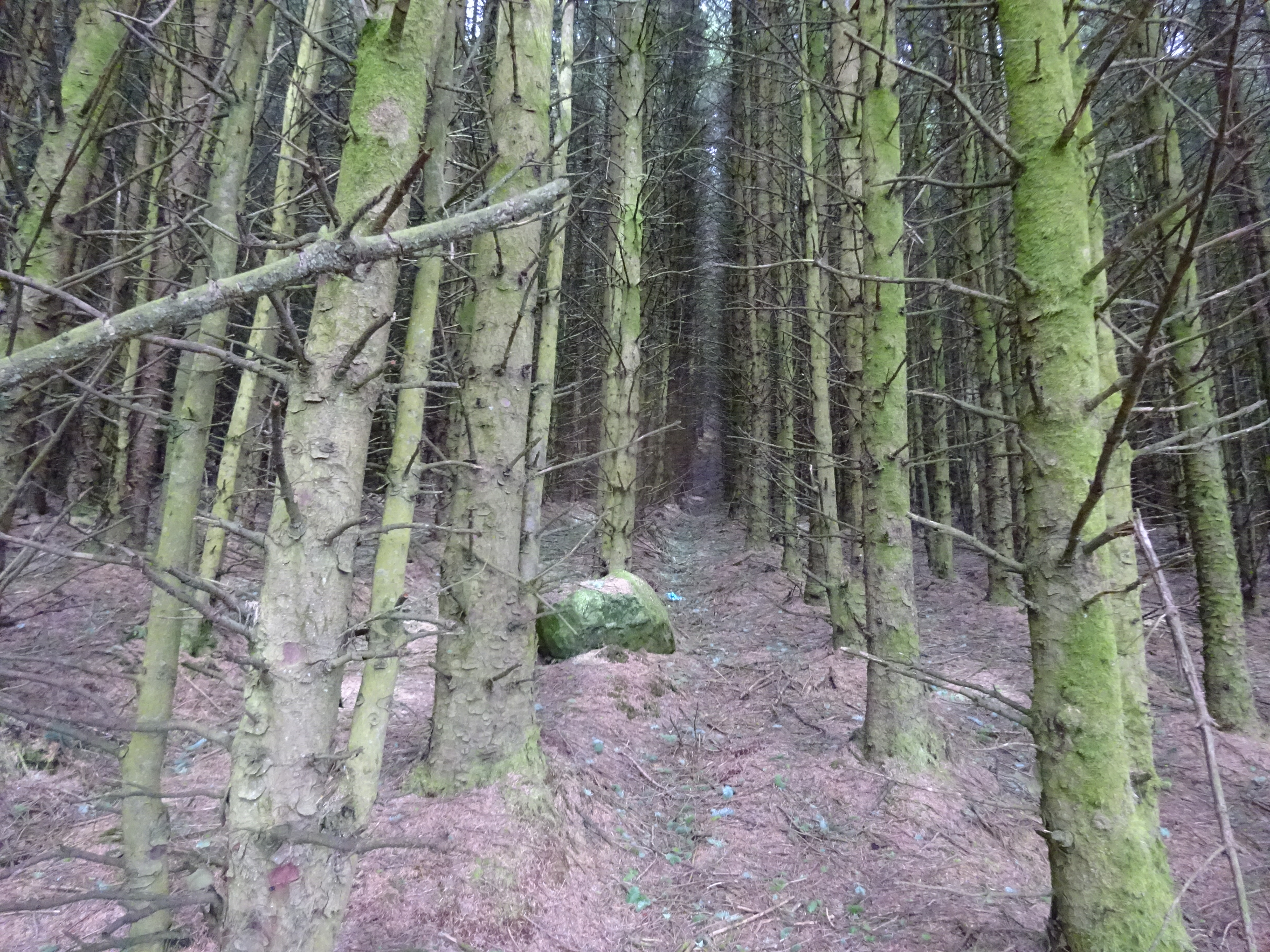
The way ahead, the camera makes it look much lighter

Someone had been here before me

Photo makes it look easier than it actually was

Just to prove I was actually ascending

I was nearing the edge of the forest, but it was absolutely roasting
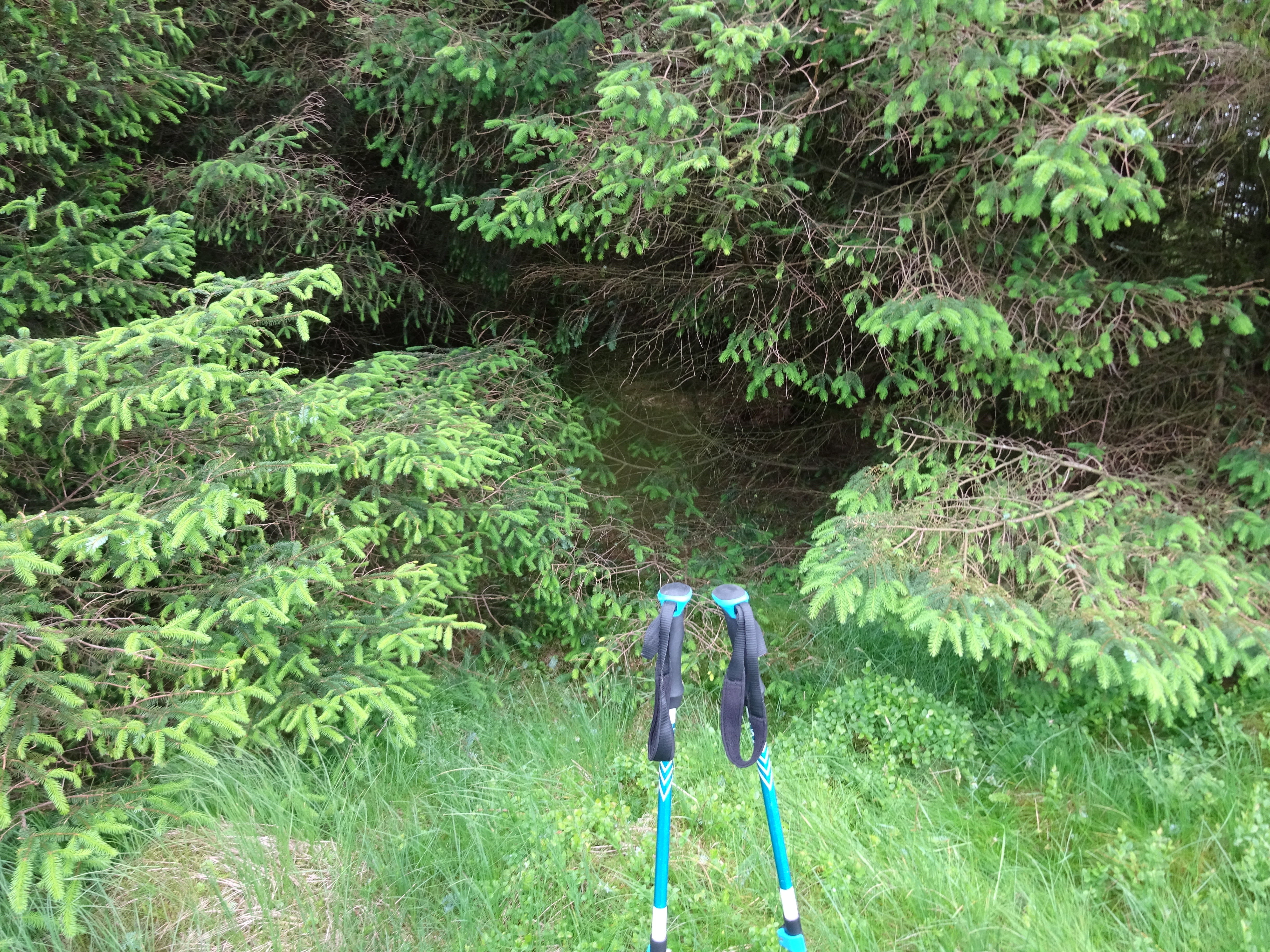
Here is my exit point, not sure how I managed to escape unscathed

No sooner had I appeared out of the forest, a glance to the right and look what I saw
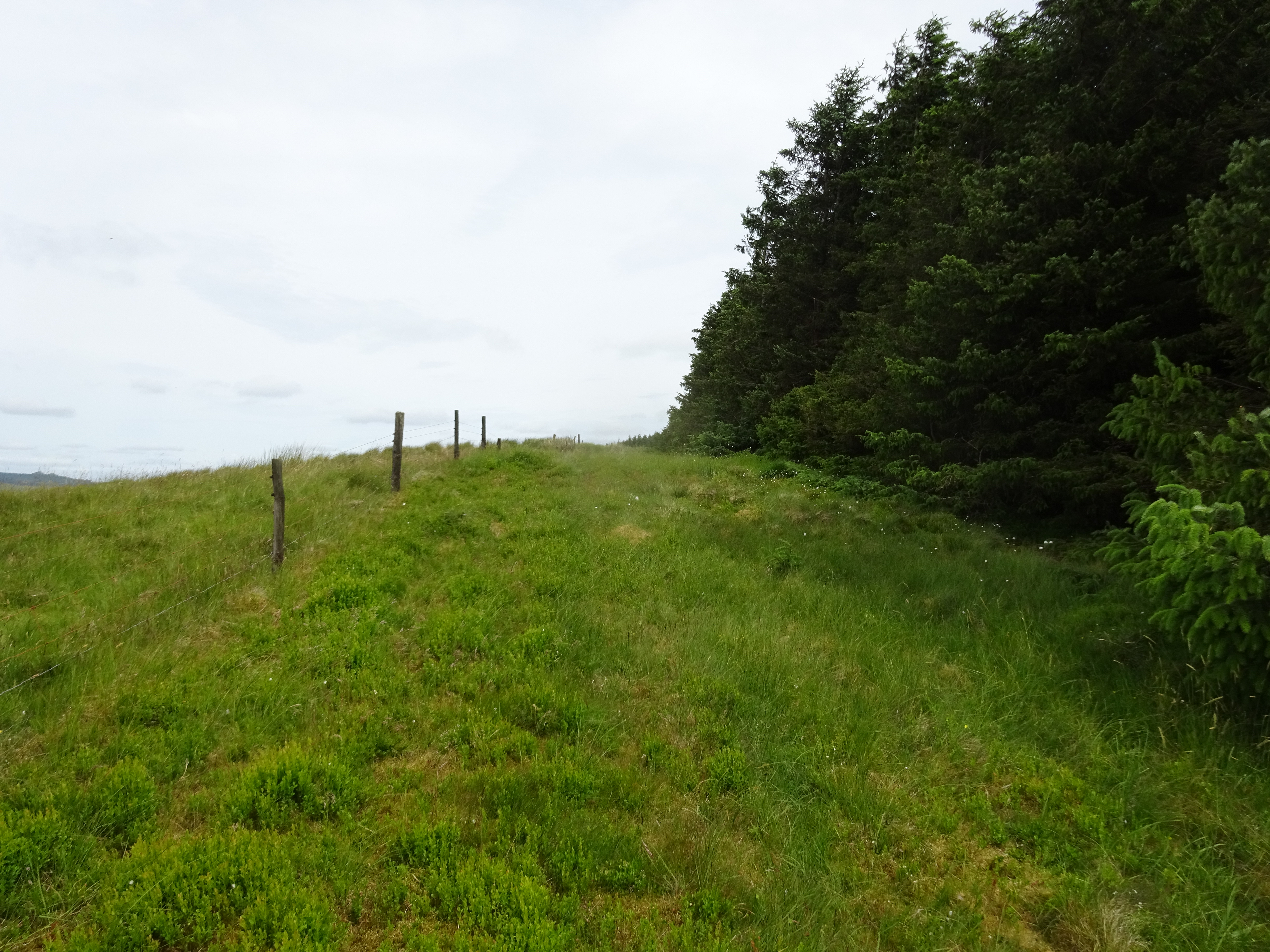
Now it was just a matter of heading north along the edge of the forest to the summit
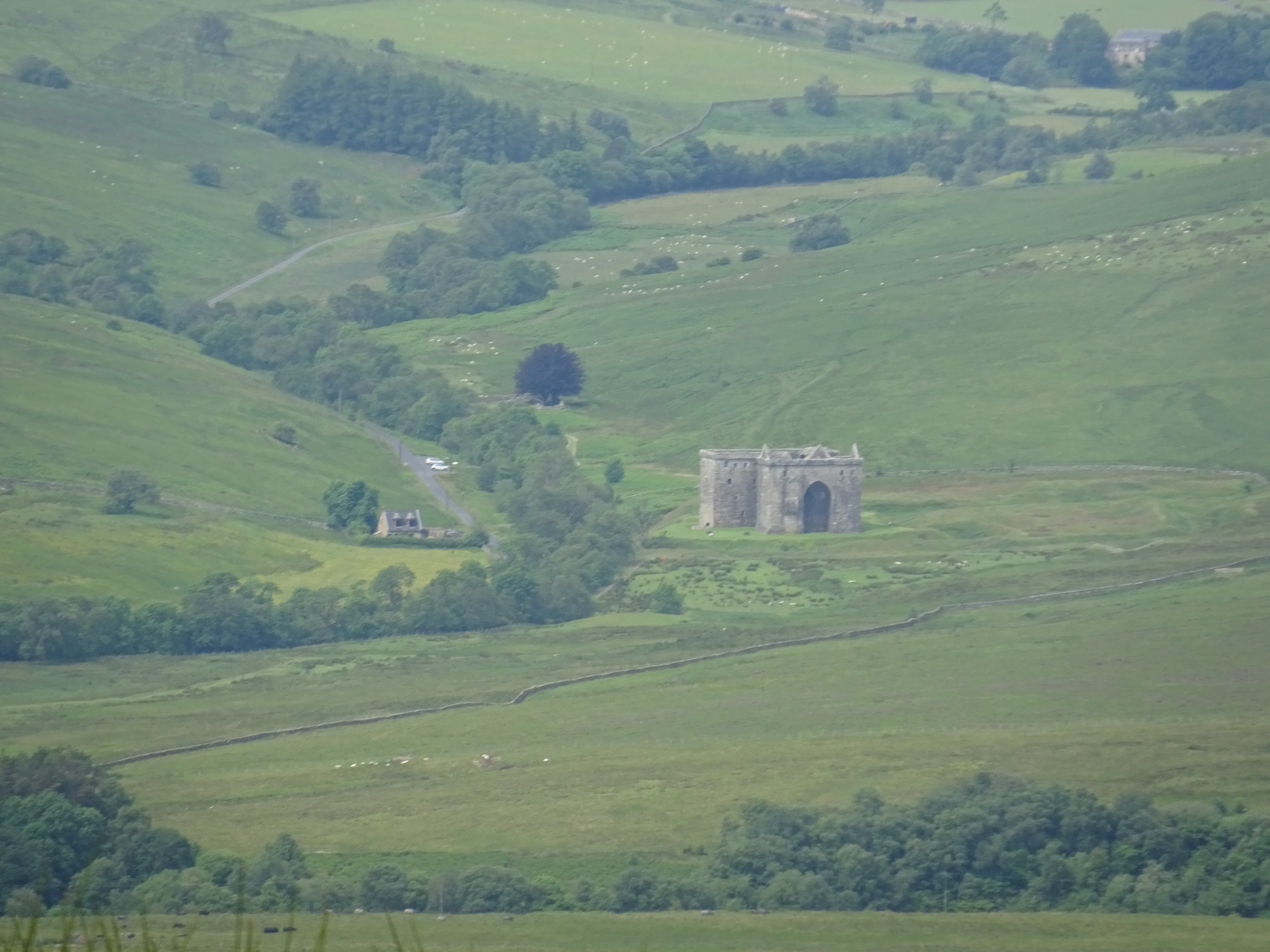
Great view of the Hermitage from on high, zoomed quite a bit

Pointless gate, looks like it has been there for quite a while

More rubbish, this time near the summit

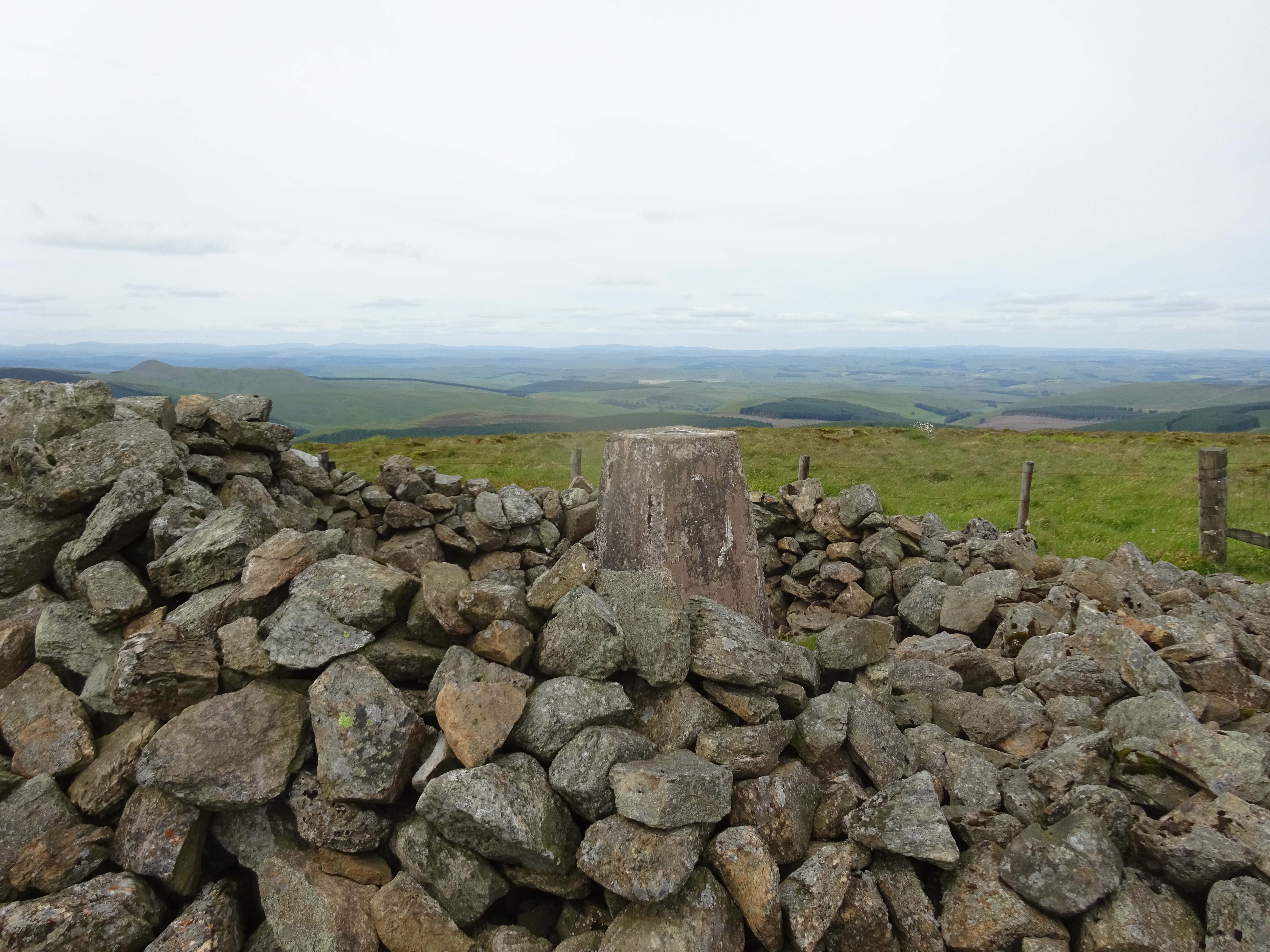
Summit gathering of stones

Just to prove I was there

Now to the descent, should I head down via a fire break or retrace my steps - what would you do?
I opted to descend via a fire break that was nearer to the summit, the initial descent was a doddle but I knew at the bottom of the forest I would have to have to head south and had no idea what the terrain would be like and as you will see, not my favourite ground - forestry debris.

Yuk

I knew heading over this stuff I would eventually arrive back on the track
A welcome sight

Not far back to my bike now
Once reunited with my bike, it literally took about 5mins of freewheeling the 2km or so to get back to the car. It took me 1hr 15mins of cycling walking and cycling to conquer Blackwood Hill and although it maybe sounds like I didn't enjoy it, I did. For anyone thinking of tackling Blackwood in the future I would suggest walking a bit further NE along the track, hopefully finding a fire break.
Blackwood Hill route, I ascended via the left blue line
Now onto Greatmoor Hill, this involved a short drive along Steele Road and then turning right onto the B6399 which takes you past the Hermitage. Once again I had put the Lat & Long into the satnav and once again it worked a treat, result.

Stopped to take this photo from the car, not often you seen grey cows and what I enjoyed was seeing them eating bracken, we need an awful lot more of these animals.
Parking at the start point was very limited as the track leads to an active working farm.
Not much space to park
The way ahead, could have taken the bike but decided against it

The radio mast that I was expecting, thanks again Inca

Greatmoor Hill in the distance

Somewhere to tether your horse if you are that way inclined?


Decision time, bridge or jump the burn

Followed this track initially

Nice little outhouse

Getting a bit nearer
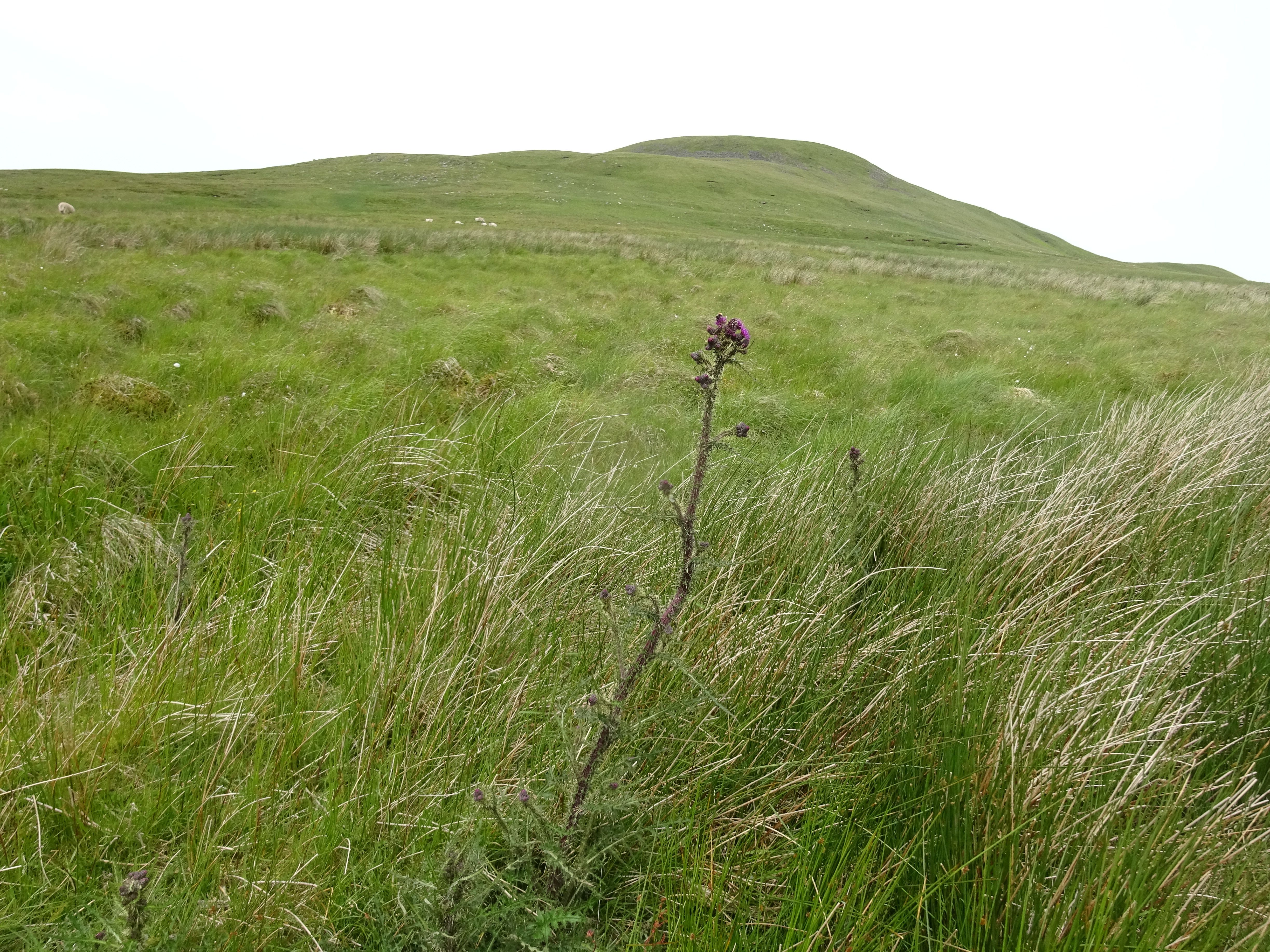
Arty shot of a straggly thistle and Greatmoor in the background

Plenty of ATV tracks going in all directions

Looking east

Inca's lecturn
Trig and shelter on the summit of Greatmoor, another large cairn in the background

My descent route, ATV track makes for rapid progress

Descent shot of the bridge, interesting design

Not seen this before, timber laid out, question is to dry or ready for uplift?

Above photo zoomed
Greatmoor Hill route
This turned out to be a really enjoyable day, Greatmoor Hill took me 1hr 55mins and I was back home in time for dinner.
These hills are an excellent example of what Marilyns are all about, occasional tracks, ATV tracks, tussocky grass and of course forests. Next for me is Glencoe and the Wee Bookil.
