free to be able to rate and comment on reports (as well as access 1:25000 mapping).
It was the weekend before I went away on holiday and with the Friday off and a walk planned for the Saturday, I wanted to get in another walk that would stretch the legs and wasn't too far away.
Enter the Ochils... having really enjoyed a stroll up Dumyat a few months ago I decided that Ben Cleuch would be my target as I could add in a Donald and some tops along with a Tump on a route I had planned that looked good fun and was an extension of the Circular walk on WH.
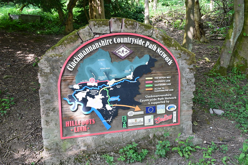
It was also very close from Glasgow and this afforded me a really enjoyable long lie, lazy afternoon and tea-time start by the time I dragged myself out! I enjoyed the Ochils getting larger on the approach as I drove to Alva, destination the Ochil Hills Woodland Park which was the ideal start and finish point for this longer loop.
Planning had shown that I had lots of route and path options which meant I could easily change plans if required. On a nice sunny evening I parked up, booted up and set off:
 DSC_8734
 by
Chris Mac, on Flickr
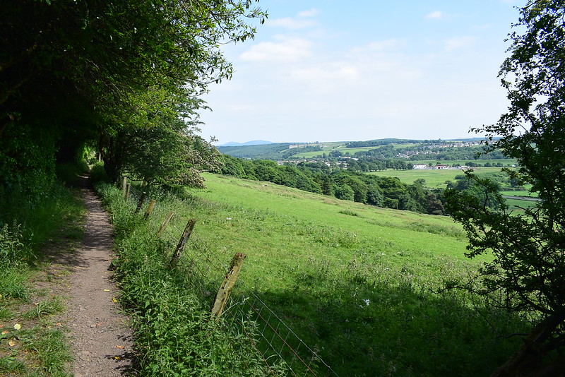
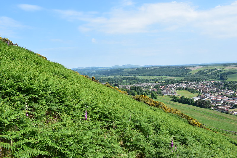
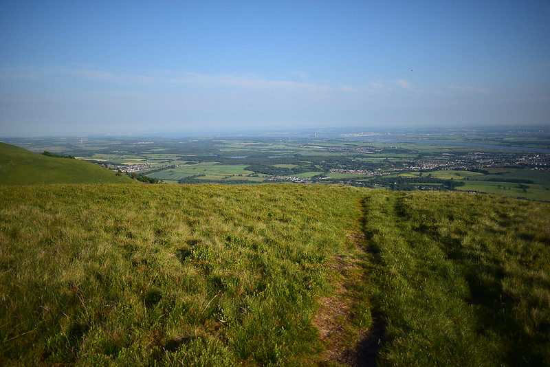
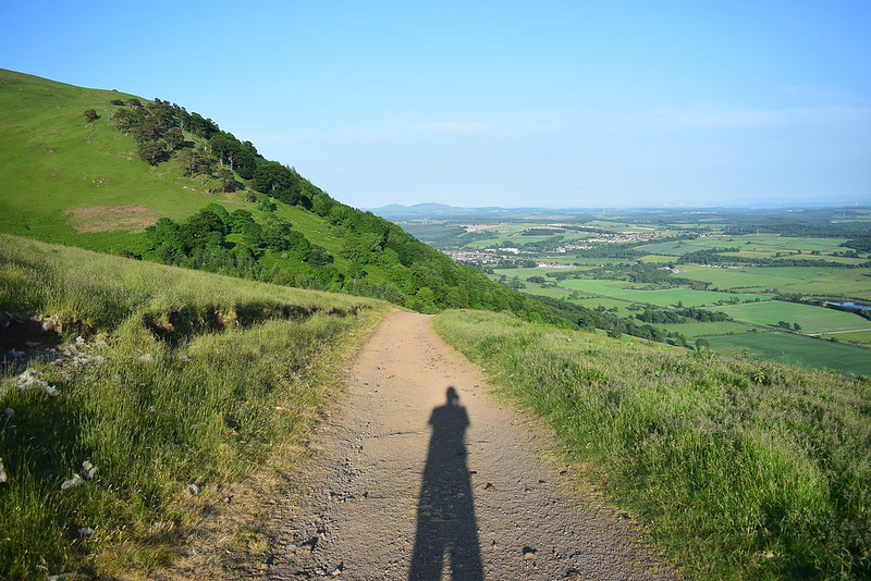
The start was easy, walk along the road then path to Tillicoultry, enjoying the slightly elevated view south east on the way:
 DSC_8737
 by
Chris Mac, on Flickr
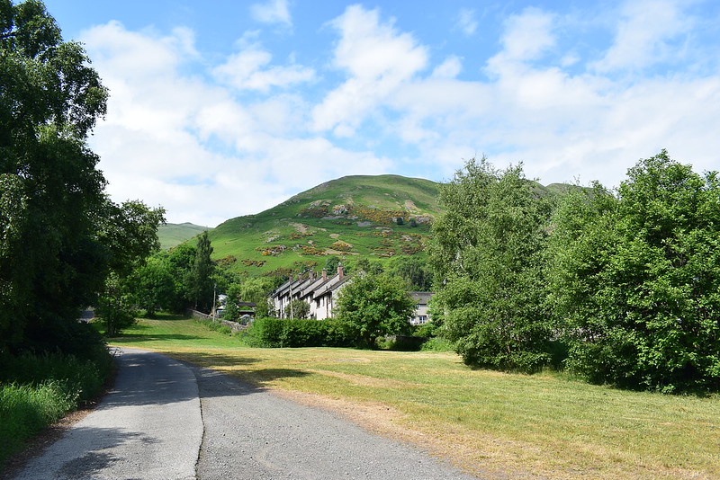
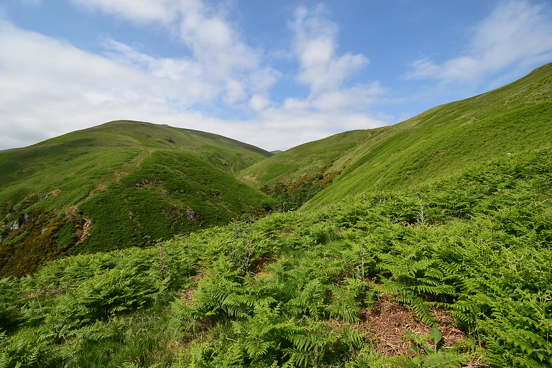
I soon reached the mouth of Mill Glen, initially turning right and heading down towards the main road looking for a route through before turning back up this hill and through the streets to get back on track to head up the hillside on the right behind the houses:
 DSC_8743
 by
Chris Mac, on Flickr
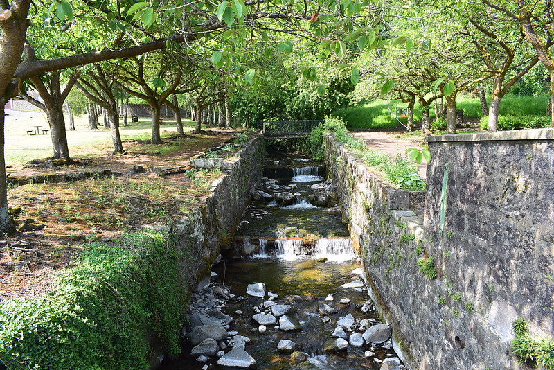
I was soon at the small park at the start of Mill Glen:
 DSC_8746
 by
Chris Mac, on Flickr
A handy sign showed my route, marked as "Public right of way to Blackford" on the map:
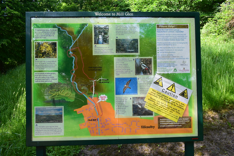 DSC_8747
 by
Chris Mac, on Flickr
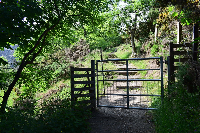
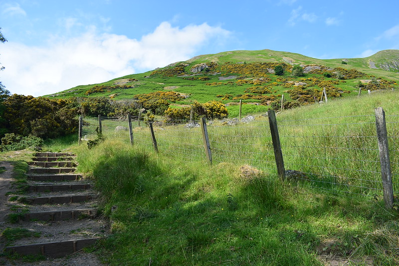
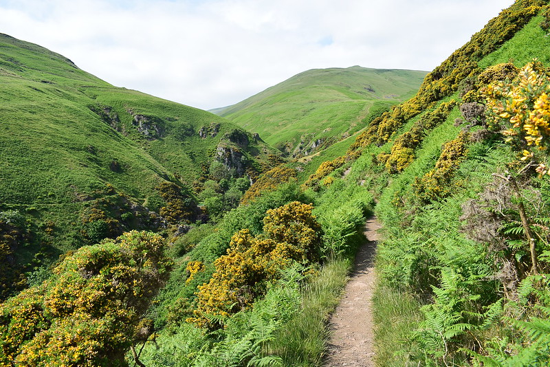
I headed right from the usual route into the steep sided glen and found the stairs heading uphill:
 DSC_8749
 by
Chris Mac, on Flickr
 DSC_8753
 by
Chris Mac, on Flickr
I passed one woman on her way down at the start of the ascent and it was the last person i'd see until near the end of the walk. Progress was fast and I was soon enjoying a view east to Knock Hill and Saline Hill on my right:
 DSC_8764
 by
Chris Mac, on Flickr
Passing the quarry on the left:
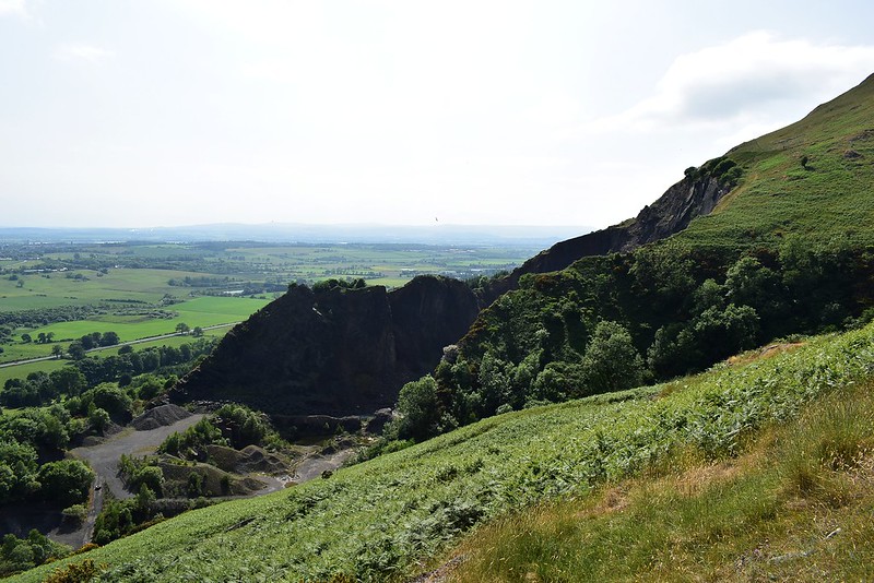 DSC_8766
 by
Chris Mac, on Flickr
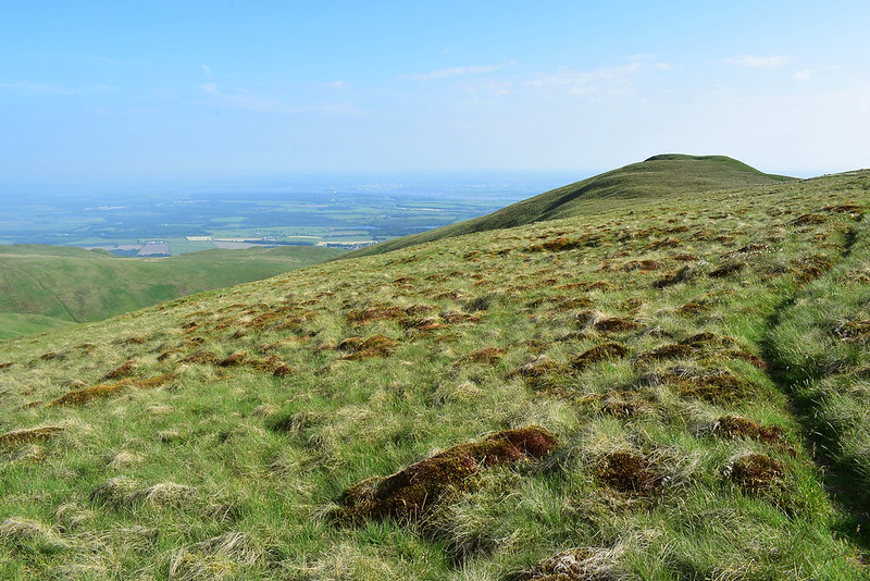
The path i'm on is high level compared to the others and the landscape is instantly appealing:
 DSC_8768
 by
Chris Mac, on Flickr
As I was admiring the view heading along the path I realised I should have been higher up, luckily others seem to have made the same mistake missing a split in the path and another split goes up a steeper section which I head up on the right:
 DSC_8771
 by
Chris Mac, on Flickr
The view up Daiglen Burn:
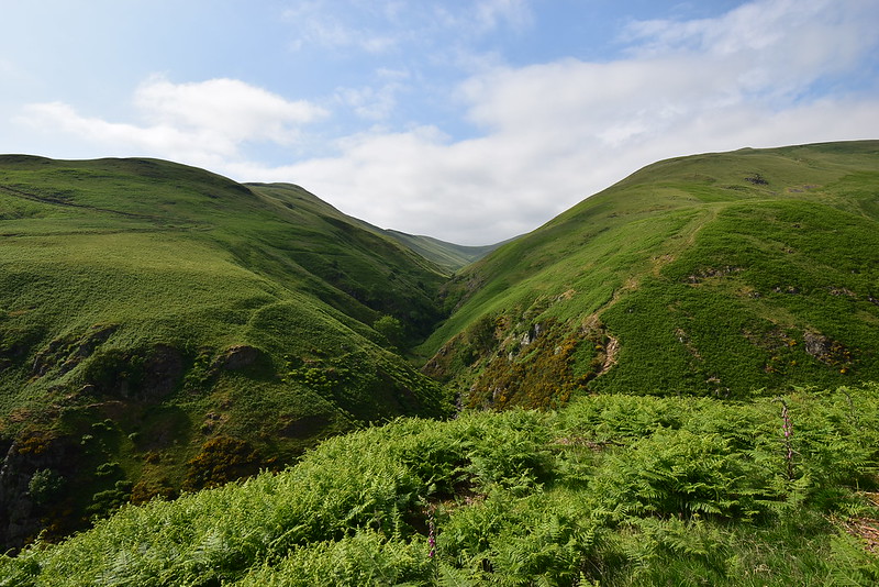 DSC_8777
 by
Chris Mac, on Flickr
The Law on the left, the path i'm heading up can be seen on the right going uphill:
 DSC_8779
 by
Chris Mac, on Flickr
The summit of the Law:
 DSC_8788
 by
Chris Mac, on Flickr
I'm gaining height quickly as I look back on the path up so far, with the River Forth and Alloa down below:
 DSC_8789
 by
Chris Mac, on Flickr
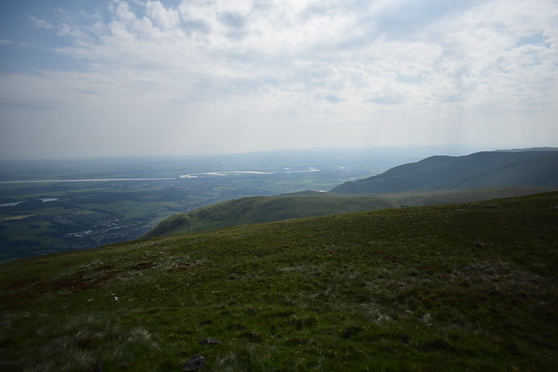
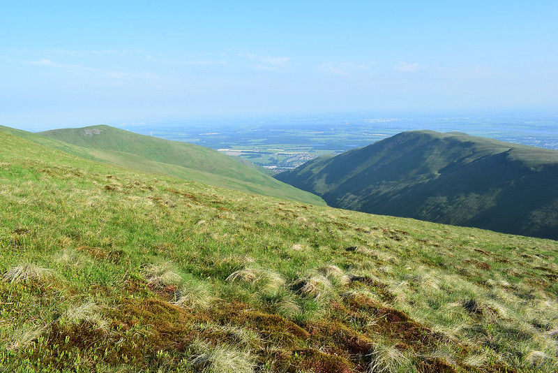
It's a bit of a slog up Elistoun Hill, on the right the Forth Bridges come into view through the haze...
 DSC_8797
 by
Chris Mac, on Flickr
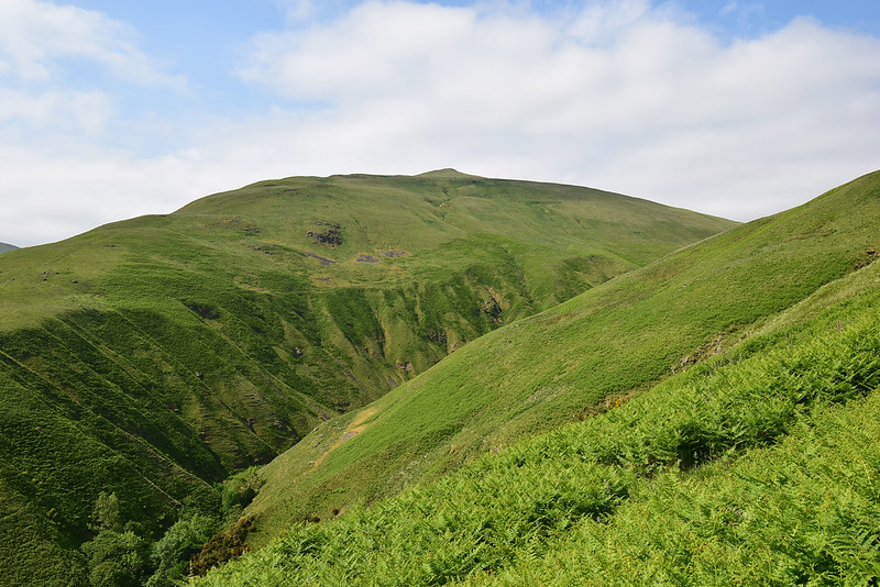
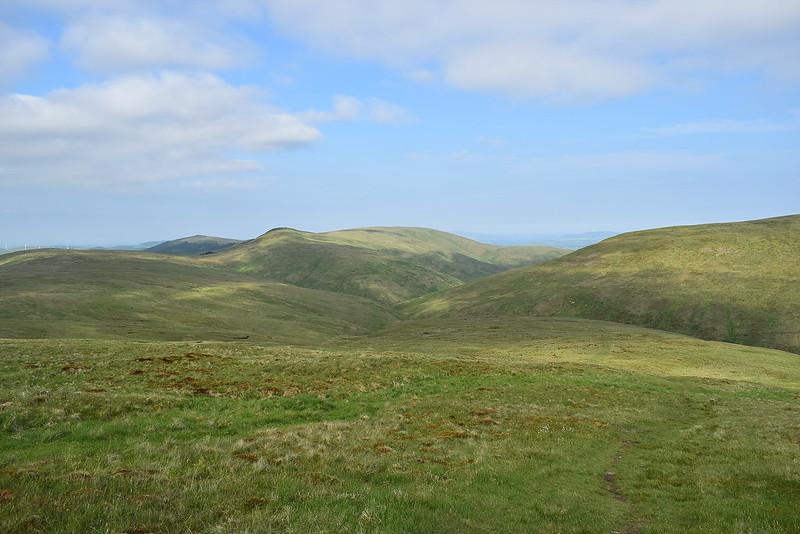
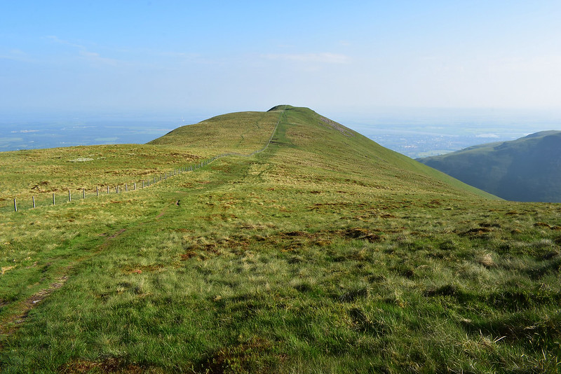
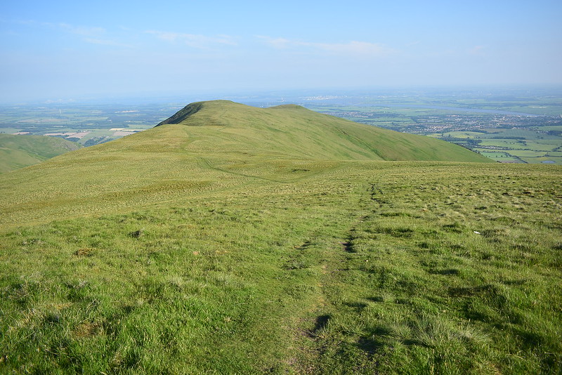
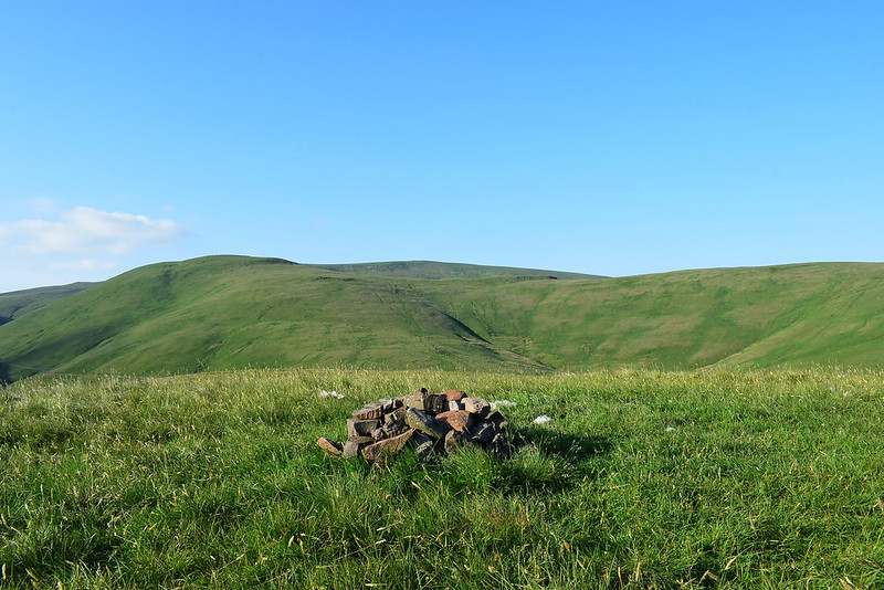
The cairn about halfway up the hillside on the way to Kings Seat Hill, The Law, Ben Cleuch, Whum Hill and Andrew Gannel Hill and on my left:
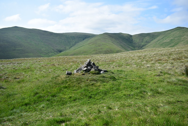 DSC_8799
 by
Chris Mac, on Flickr
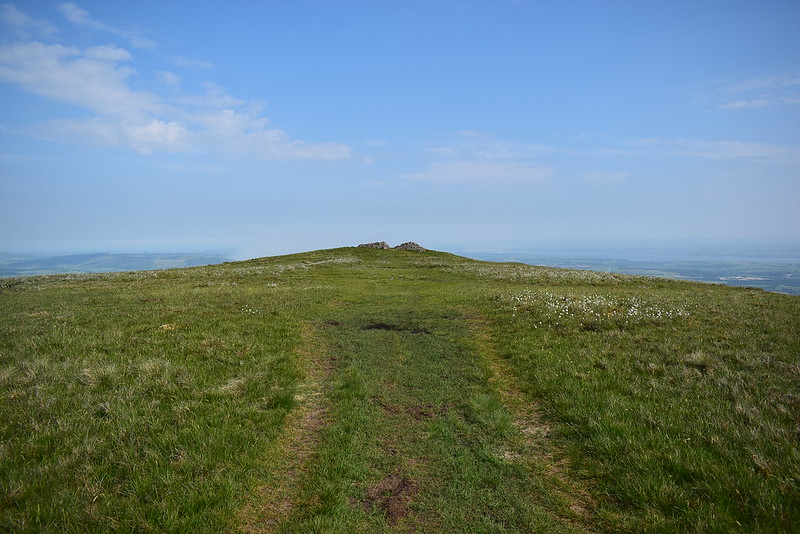
Finally the path levels out and King's Seat Hill comes into view up ahead:
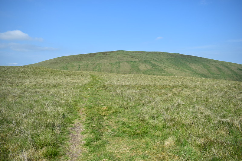 DSC_8802
 by
Chris Mac, on Flickr
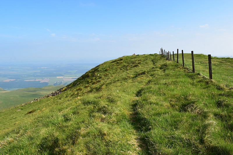
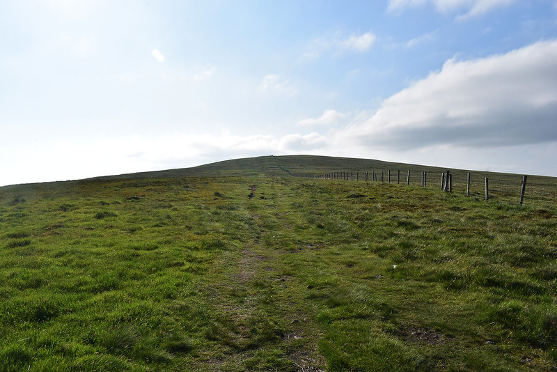
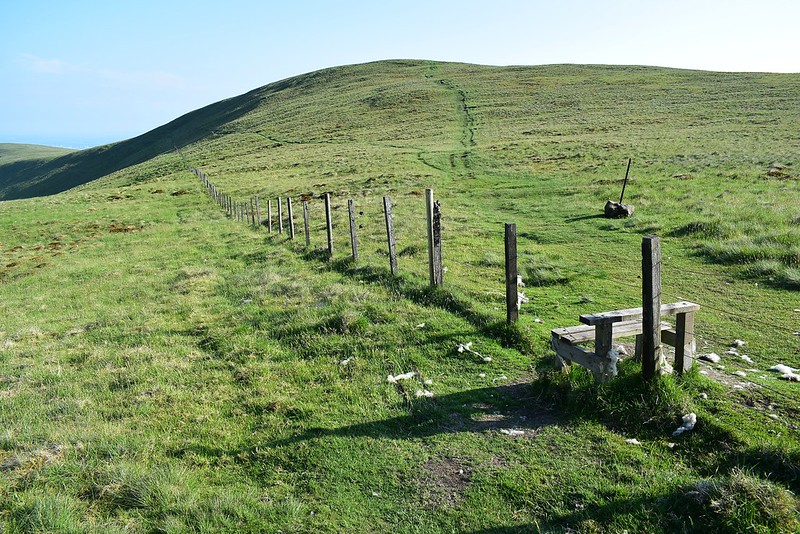
The good grassy path eventually takes me to the fence and stile before the ascent up to the summit of King's Seat Hill:
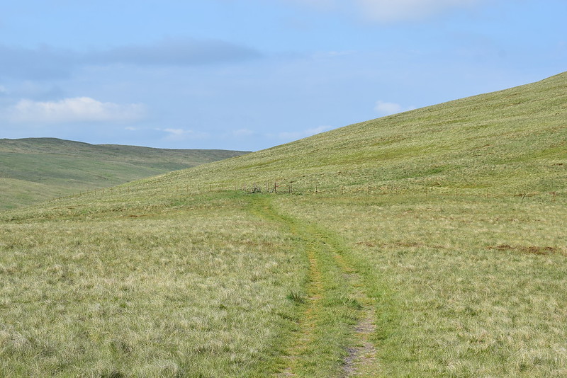 DSC_8811
 by
Chris Mac, on Flickr
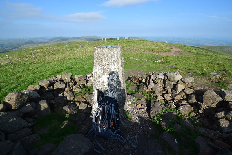
First Donald in quite a while:
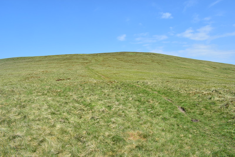 DSC_8812
 by
Chris Mac, on Flickr
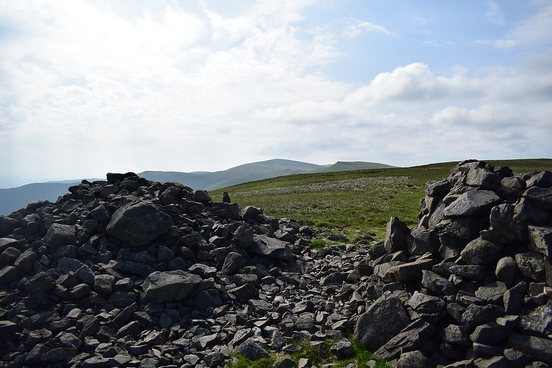
I'm greeted by two cairns atop the summit:
 DSC_8817
 by
Chris Mac, on Flickr
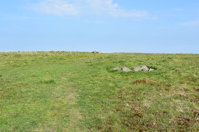
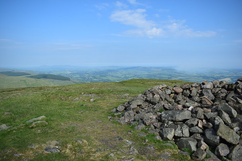
Further along is a larger one and shelter although not at the summit, I decide i'll head along there and have half a sandwich to enjoy the view south:
 DSC_8818
 by
Chris Mac, on Flickr
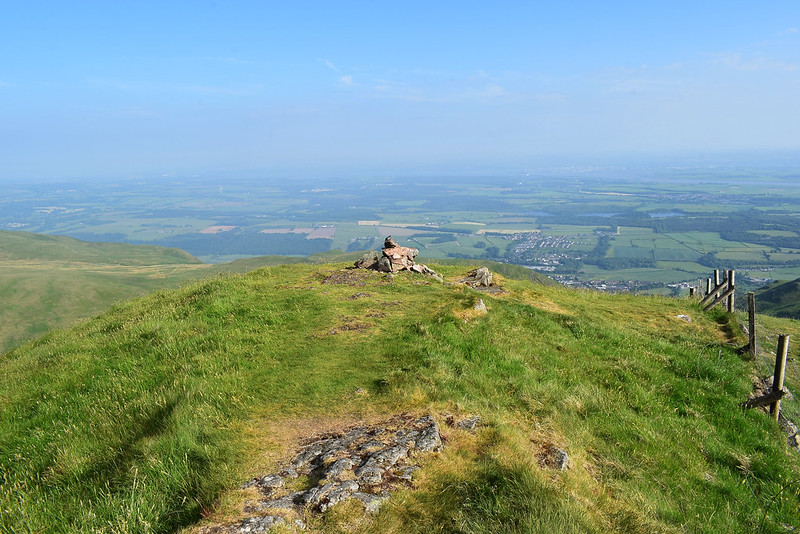
Looking south east from the proper summit cairn:
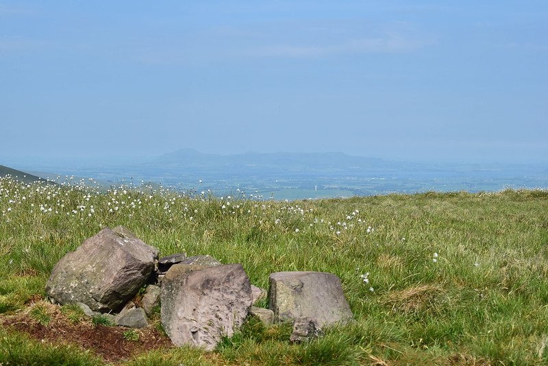 DSC_8822
 by
Chris Mac, on Flickr
I then nip along to the bigger cairns:
 DSC_8827
 by
Chris Mac, on Flickr
Nice viewpoint, south east!
 DSC_8828
 by
Chris Mac, on Flickr
South west:
 DSC_8830
 by
Chris Mac, on Flickr
The way ahead to Ben Cleuch and co.:
 DSC_8832
 by
Chris Mac, on Flickr
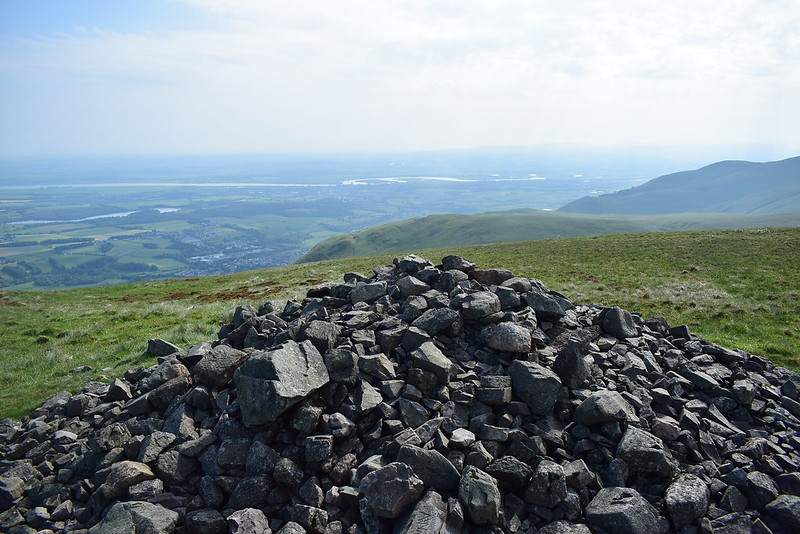
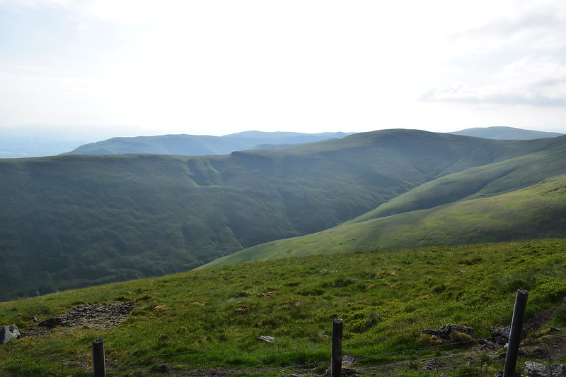
Firth of Forth and the bridges, not good visibility this evening:
 DSC_8837
 by
Chris Mac, on Flickr
At least it's warm and i'm enjoying the cool breeze on my bare legs!

 DSC_8839
 by
Chris Mac, on Flickr
Having enjoyed my first pit stop it's time to set off again to the summit and back down the other side to begin the ascent of Andrew Gannel Hill:
 DSC_8849
 by
Chris Mac, on Flickr
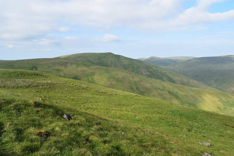
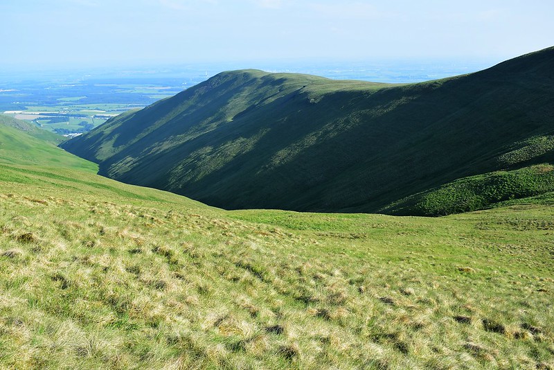
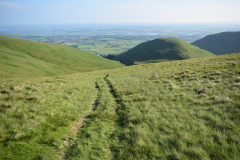
Looking down the Gannel Burn Glen, summits of the next two targets higher up:
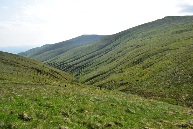 DSC_8853
 by
Chris Mac, on Flickr
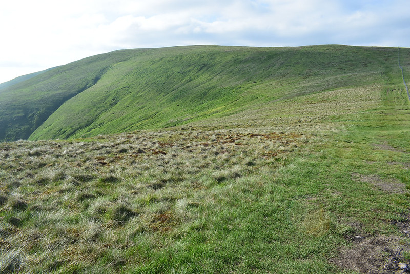
The path dips down then rises again for a straightforward climb up the Ben Cleuch's Donald top Andrew Gannel Hill:
 DSC_8857
 by
Chris Mac, on Flickr
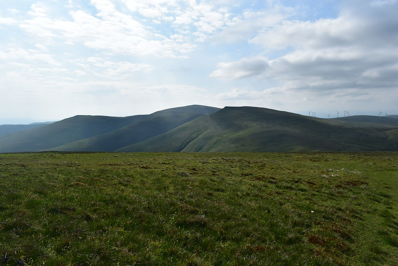
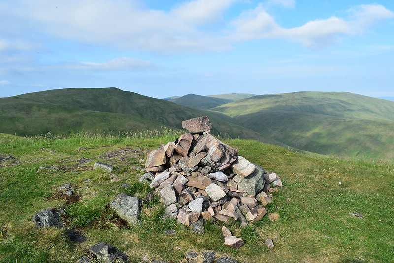
Tarmangie Hill to the east, another Donald for another day:
 DSC_8863
 by
Chris Mac, on Flickr
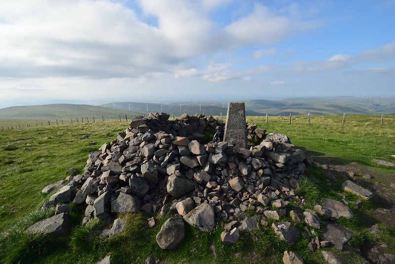
King's Seat Hill, Donald 1 in the bag:
 DSC_8864
 by
Chris Mac, on Flickr
I'm soon at the summit and looking over towards the Law:
 DSC_8868
 by
Chris Mac, on Flickr
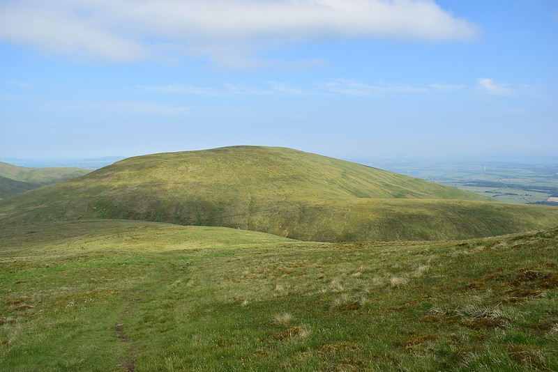
And Ben Cleuch:
 DSC_8870
 by
Chris Mac, on Flickr
Panorama south west:
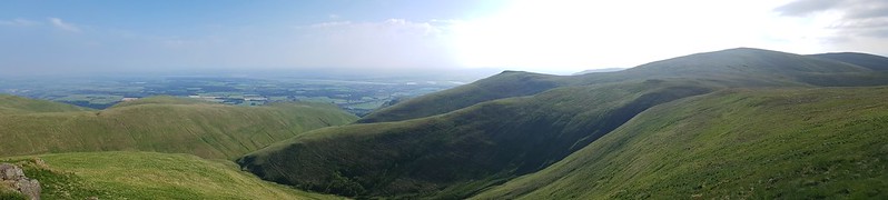 DSC_8871 20180608_173558
 by
Chris Mac, on Flickr
Looking north east at a local:
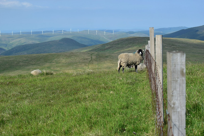 DSC_8872
 by
Chris Mac, on Flickr
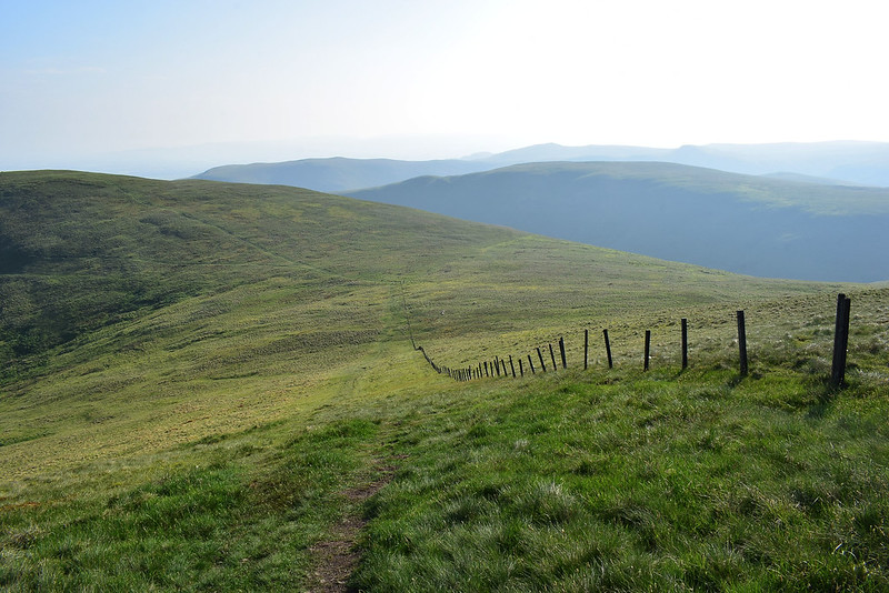
It's then an easy route to follow the fence along a grassy path towards the Law, I veer left taking another path that splits off from the one going to Ben Cleuch:
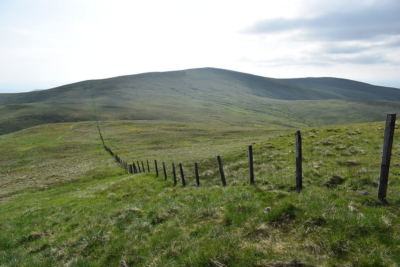 DSC_8873
 by
Chris Mac, on Flickr
Andrew Gannel Hill summit:
 DSC_8875
 by
Chris Mac, on Flickr
The path veering left soon takes me to the summit of the Law:
 DSC_8881
 by
Chris Mac, on Flickr
 DSC_8882
 by
Chris Mac, on Flickr
 DSC_8883
 by
Chris Mac, on Flickr
The Law summit cairn looking east:
 DSC_8885
 by
Chris Mac, on Flickr
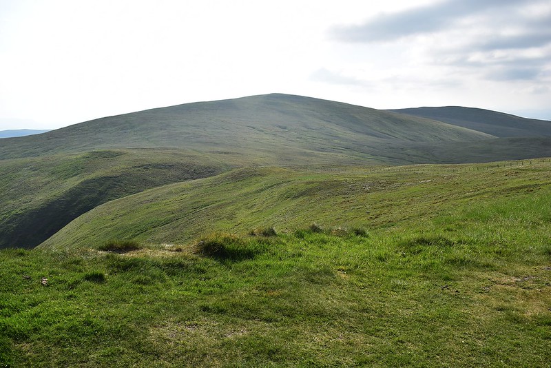
Looking up to Ben Cleuch, i'm roughly half way now:
 DSC_8886
 by
Chris Mac, on Flickr
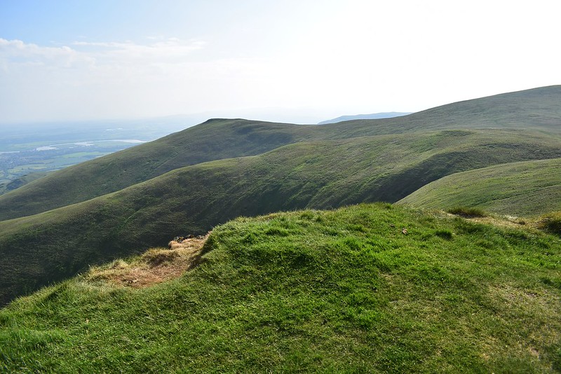
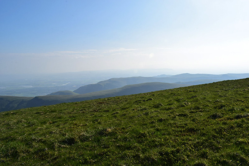
The view west is non-existent due to the bright sunlight and haze:
 DSC_8887
 by
Chris Mac, on Flickr
It's a nice range the Ochils and so far i've had them to myself, probably quite rare! I admire the lines, curves, peaks and glens:
 DSC_8888
 by
Chris Mac, on Flickr
Time to head for the main target now, another Graham/Marilyn/Donald and the daddy of the Ochils left to summit:
 DSC_8895
 by
Chris Mac, on Flickr
The Law behind me:
 DSC_8896
 by
Chris Mac, on Flickr
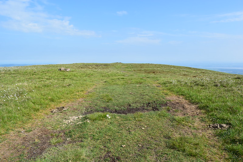
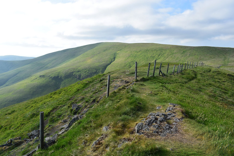
I reach the fence then it's another straightforward climb up another excellent grassy path to the top:
 DSC_8900
 by
Chris Mac, on Flickr
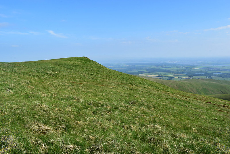
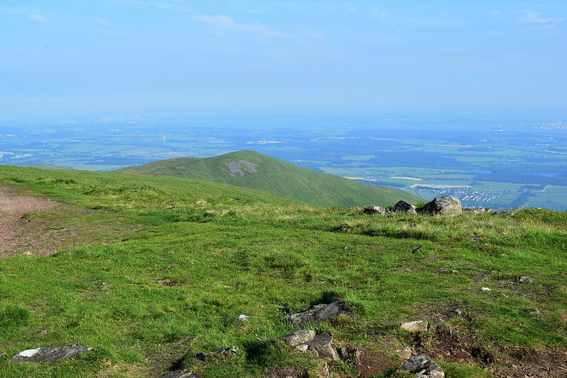
Looking south west I can now make out the summit of Dumyat:
 DSC_8902
 by
Chris Mac, on Flickr
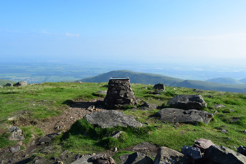
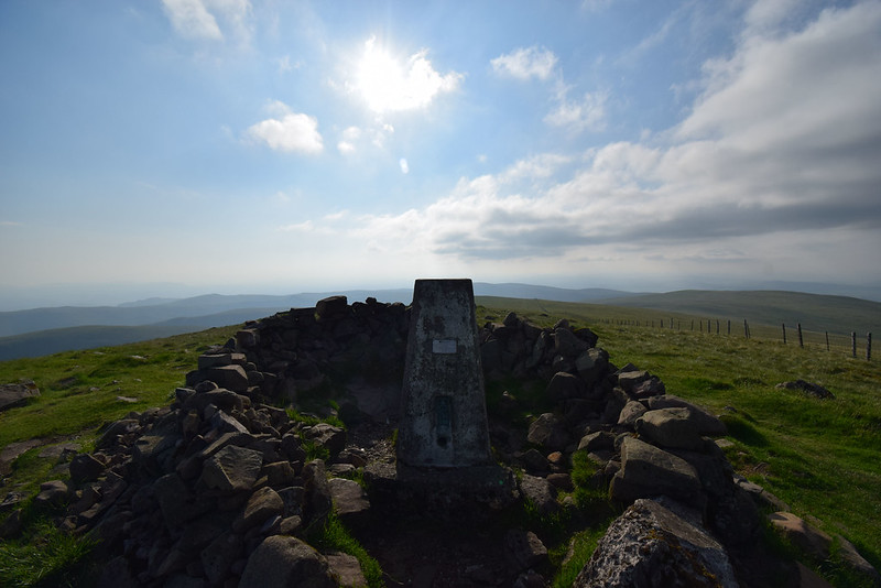
The viewpoint indicator, trig point and shelter come into view:
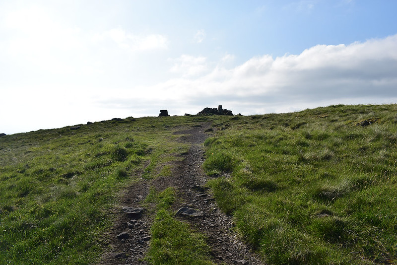 DSC_8904
 by
Chris Mac, on Flickr
I take some standard summit shots:
 DSC_8907
 by
Chris Mac, on Flickr
 DSC_8916
 by
Chris Mac, on Flickr
 DSC_8917
 by
Chris Mac, on Flickr
 DSC_8918
 by
Chris Mac, on Flickr
Still not much to see west and north:
 DSC_8919
 by
Chris Mac, on Flickr
 DSC_8922
 by
Chris Mac, on Flickr
I sit down and finish my lunch/dinner snack while enjoying the view again:
 DSC_8926
 by
Chris Mac, on Flickr
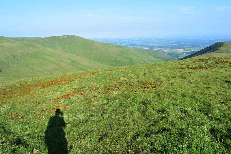
Conscious of the sun getting lower in the sky my instincts say it's time to head back down and i'm going to head for Ben Ever then finish with the Nebit on the way back down into Alva:
 DSC_8932
 by
Chris Mac, on Flickr
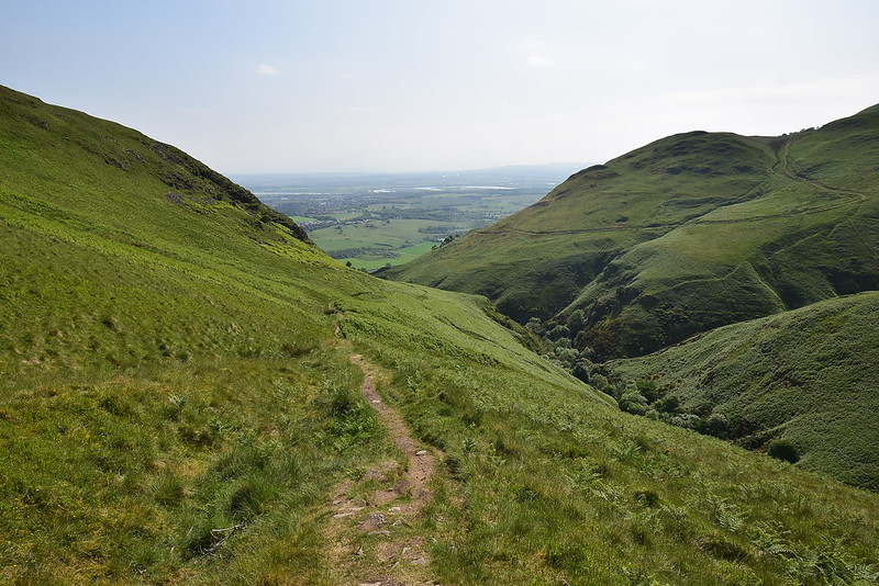
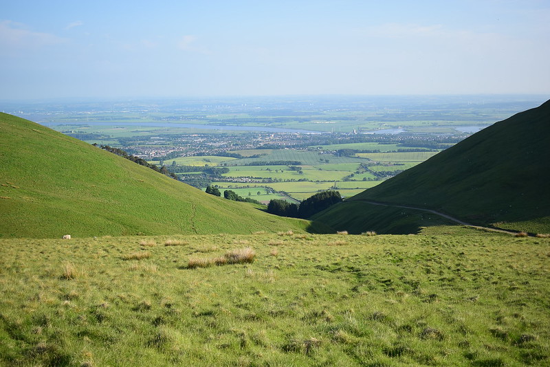
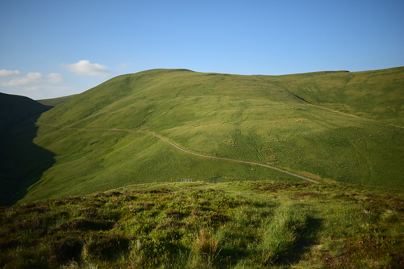
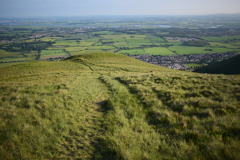
Tillicoultry start point down the glen but i'll be heading down the other side of the hill on the right and into Alva Glen:
 DSC_8935
 by
Chris Mac, on Flickr
Again I find a grassy path splitting off from the one heading to Ben Buck and i'm soon on my way down to then head up Ben Ever:
 DSC_8937
 by
Chris Mac, on Flickr
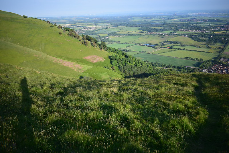
I love the light at the end of the day, it always makes for good photos:
 DSC_8942
 by
Chris Mac, on Flickr
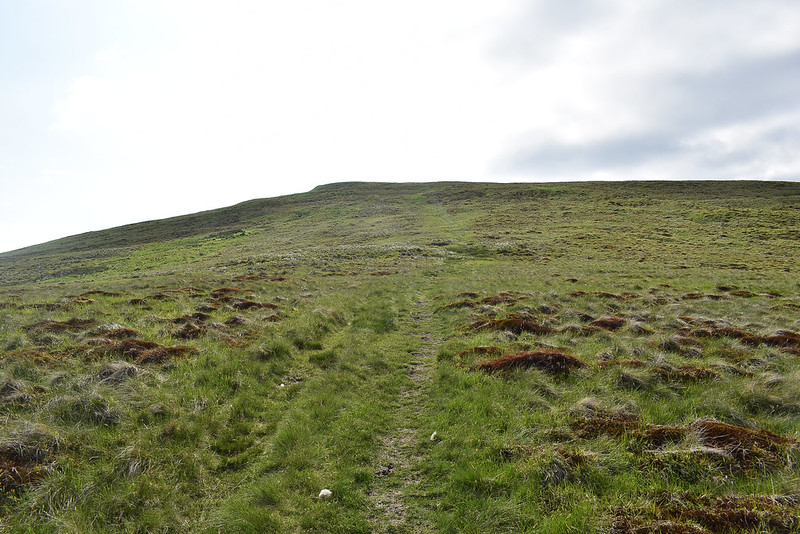
Another stile to cross then an easy climb to Ben Ever summit:
 DSC_8946
 by
Chris Mac, on Flickr
On approaching the summit cairn I see another human being...

he's as surprised to see me as I am him!
We chat briefly and he says he doesn't normally see anyone else up here at this time of the evening before heading off downhill towards the Nebit in fell running mode... I decide to take some summit shots before ambling down after him! Ben Cleuch from Ben Ever:
 DSC_8950
 by
Chris Mac, on Flickr
The Law:
 DSC_8951
 by
Chris Mac, on Flickr
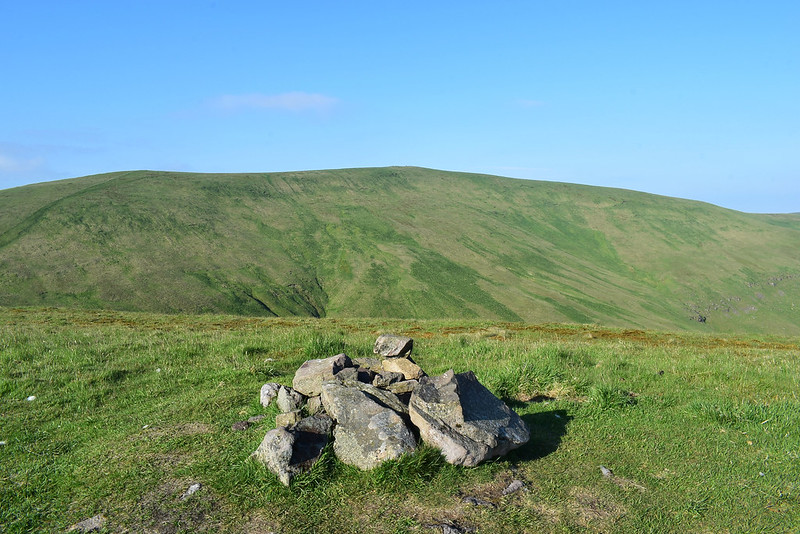
Ben Ever also has 2 summit cairns and again I visit both, looking south:
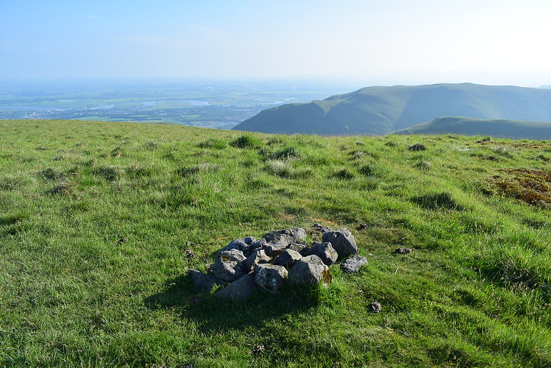 DSC_8955
 by
Chris Mac, on Flickr
Distant Dumyat:
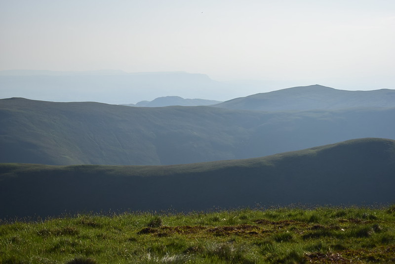 DSC_8958
 by
Chris Mac, on Flickr
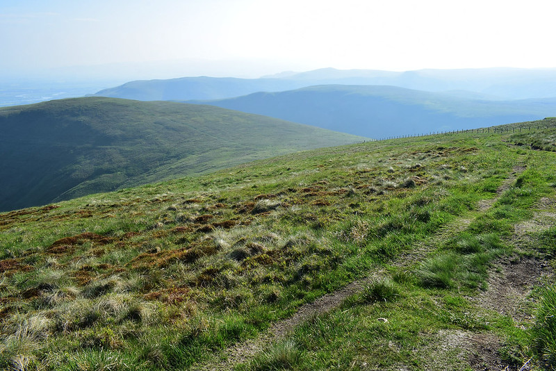
Off I go again following yet another good grassy path, the Ochils are certainly well trodden!
 DSC_8959
 by
Chris Mac, on Flickr
The path turns right and i'm soon heading down the hillside towards The Nebit:
 DSC_8961
 by
Chris Mac, on Flickr
Getting a bit clearer now:
 DSC_8964
 by
Chris Mac, on Flickr
Another up and down, this time the last one of the day:
 DSC_8965
 by
Chris Mac, on Flickr
I reach the track at the bottom and turn right to find the path going up The Nebit, then spot another angled towards the fence a part way up it and take that which leads me to the open gate, then it's just a short climb to the summit:
 DSC_8970
 by
Chris Mac, on Flickr
Looking back to Ben Ever, the path down, track and gate:
 DSC_8973
 by
Chris Mac, on Flickr
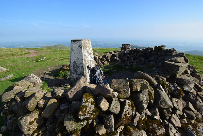
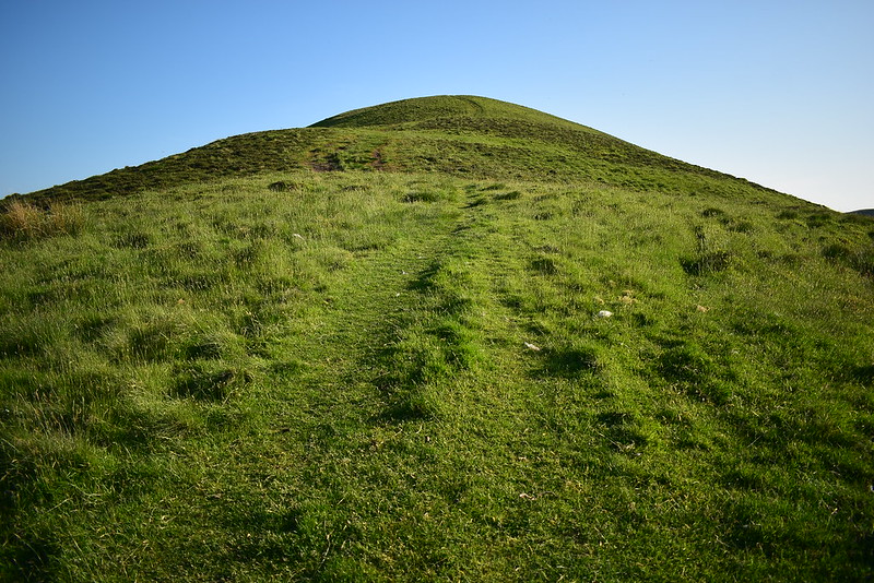
Another short ascent from the photo spot and i'm atop The Nebit, Tump and final peak of the day:
 DSC_8975
 by
Chris Mac, on Flickr
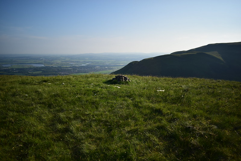
Now clearer visibility:
 DSC_8984
 by
Chris Mac, on Flickr
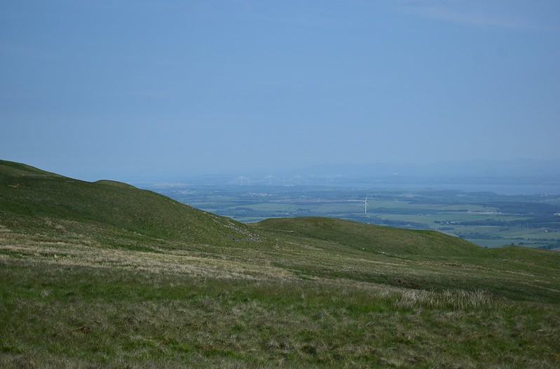
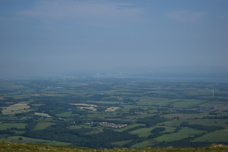
A proper look at the Forth Bridges:
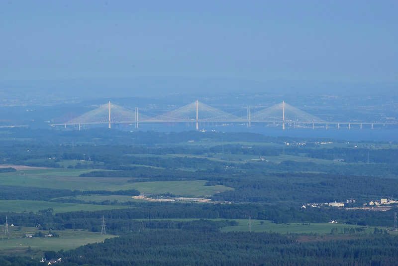 DSC_8985
 by
Chris Mac, on Flickr
I enjoy another break sitting at the cairn and soak in the view to Ben Cleuch one last time before heading back down:
 DSC_9003
 by
Chris Mac, on Flickr
 DSC_9006
 by
Chris Mac, on Flickr
More good grassy path routes:
 DSC_9007
 by
Chris Mac, on Flickr
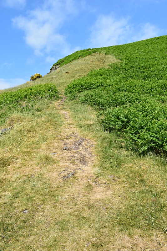
It;s a steep wee hill but it makes for a fast descent this way, I use a pole to aid balance and assist the knees:
 DSC_9011
 by
Chris Mac, on Flickr
Some arrows are burned into the path pointing up the way... seems fairly obvious where the path takes you if you ask me!
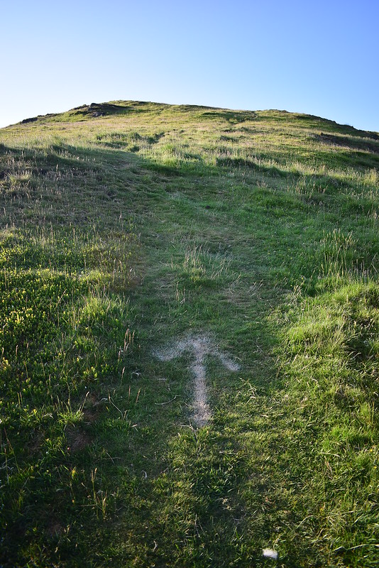 DSC_9013
 by
Chris Mac, on Flickr
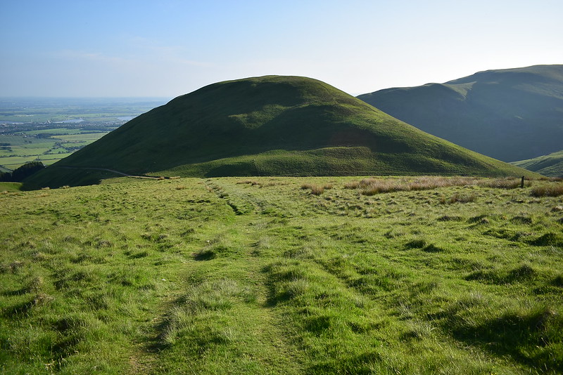
Wood Hill and Rough Knowes on the left during the descent into Alva:
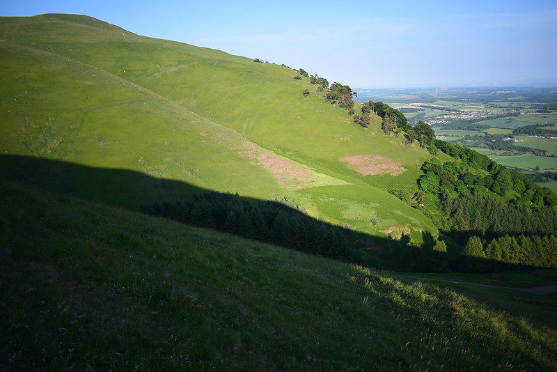 DSC_9014
 by
Chris Mac, on Flickr
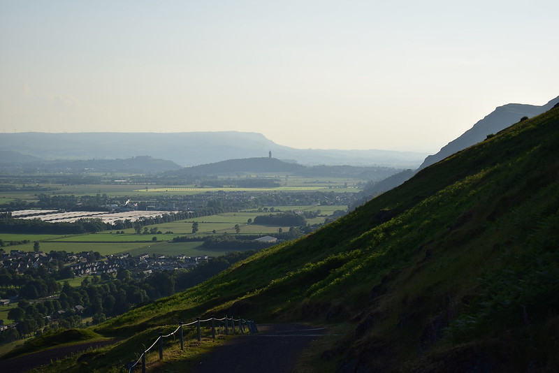
On the right Stirling Castle, The Wallace Monument (Abbey Craig) and Carleatheran come into view:
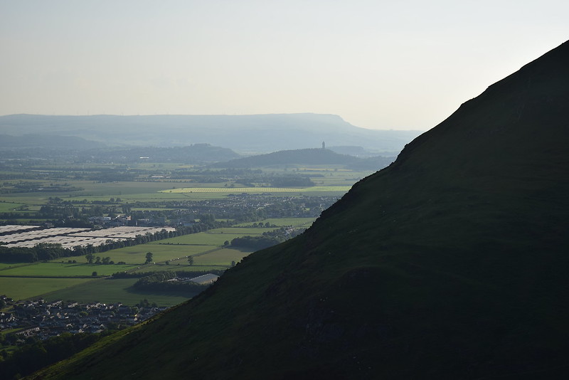 DSC_9024
 by
Chris Mac, on Flickr
I reach the track at the bottom and just before it a lamb is hiding in the grass and doesn't spot me until i'm right next to it. The poor thing got up, bleated then started limping away so I moved past it and it posed for a pick with The Nebit behind it:
 DSC_9044
 by
Chris Mac, on Flickr
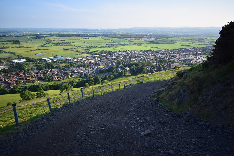
Easy going now...
 DSC_9057
 by
Chris Mac, on Flickr
Or so I thought! I almost slipped on this steep bend with loose stones:
 DSC_9061
 by
Chris Mac, on Flickr
The view west again since I can see more that way now:
 DSC_9063
 by
Chris Mac, on Flickr
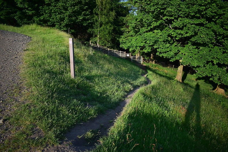
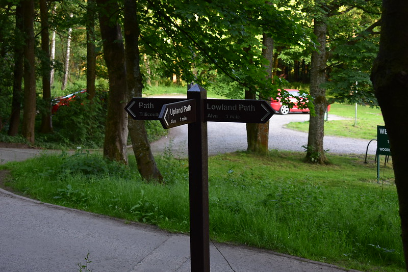
The track soon reaches a post indicating it's time to turn left and head through the woods back to the Ochil Hills Woodland Park:
 DSC_9068
 by
Chris Mac, on Flickr
Into the woods you cross a small bridge on the path then continue through, with the low sun creating nice light shafts in the trees:
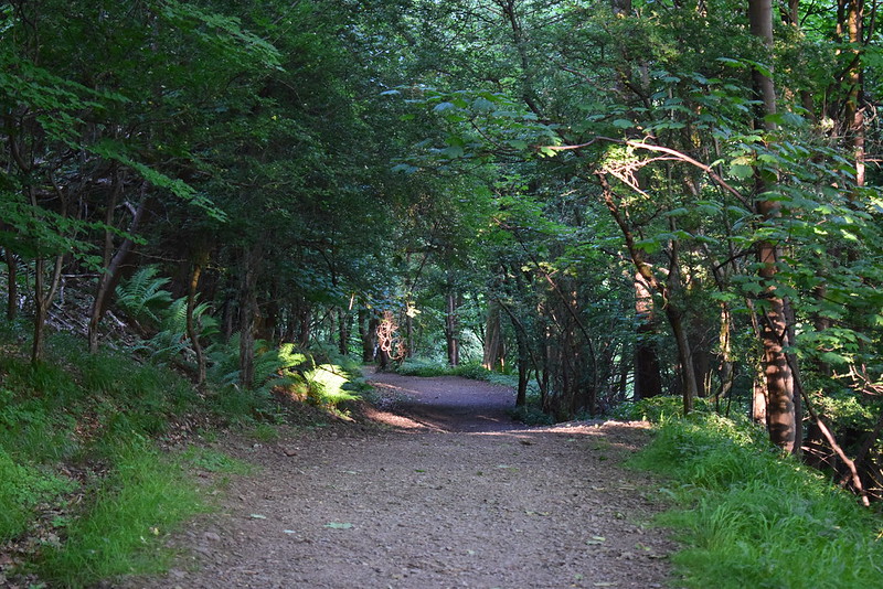 DSC_9075
 by
Chris Mac, on Flickr
I'm back at the car park in no time, taking just over 4 and a half hours to do the 18km walk:
 DSC_9078
 by
Chris Mac, on Flickr
I thoroughly enjoyed my first proper exploration of the Ochils and the route I took. Getting home before it was dark I ate a chippy and got a fairly early night as round two was up tomorrow with Iain and I due to head for the hills again and I would see how the legs would handle another long day out on a couple of Corbetts....


