free to be able to rate and comment on reports (as well as access 1:25000 mapping).
Denise and I visited Corrour Station in May with the intention of doing the three munros accessible from there, with a bit of underestimation and over caution on our behalf we didn't do the third munro on the list that day, Beinn na Lap so the decision was made there and then that we'd come back on our next trip north and turn a red balloon in the middle of nowhere to blue.
We headed south from Cannich a day early because of the high winds up there, we'd booked three nights at Bunroy anyway so we phoned the owners to see if they had a pitch available for an extra night, they had so we booked it and planned to use the extra day to do Beinn na Lap whatever the weather.
Wednesday looked ok for a shortish trip out so we were up in good time to have our breakfast and catch the 8.05am train.
We met a nice older man at the station and in conversation found that he too was staying at Bunroy in his camper and was also going to have a crack at Beinn na Lap so, after introductions, Stewart agreed to join forces and we'd do it together so long as we didn't mind taking a more leisurely pace, yeah, no problem, we were happy with that


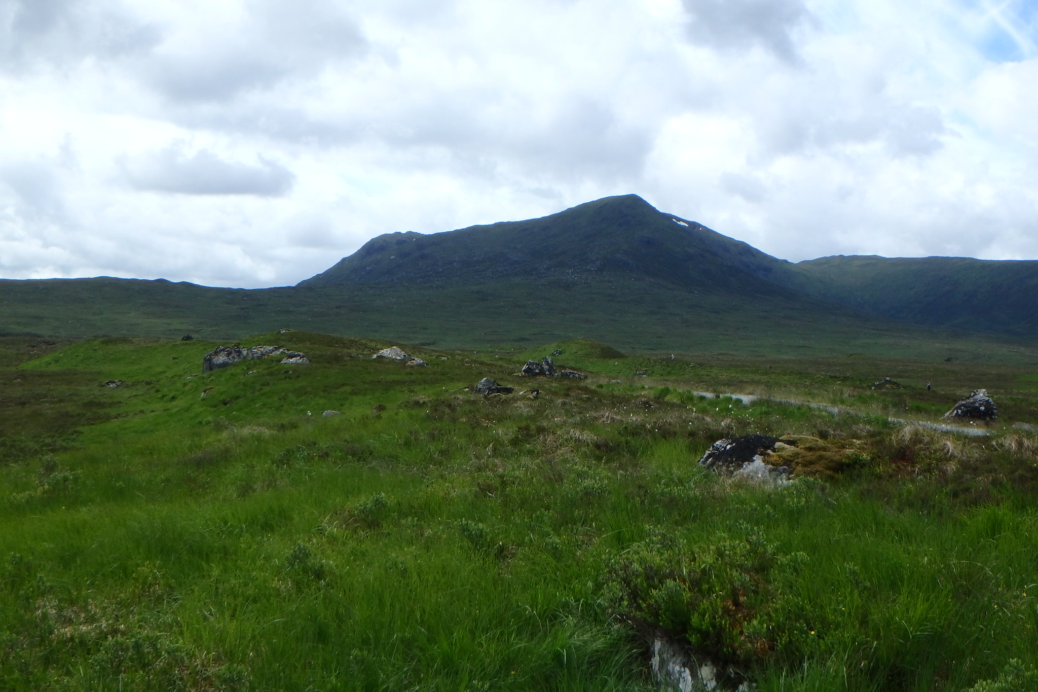
When we got off the train our eyes were drawn to Beinn na Lap it looked good apart from the top 150 meters or so that was in the clag, it looked the sort that would burn off once the sun got going but it felt cold with a bit of a breeze thrown in.
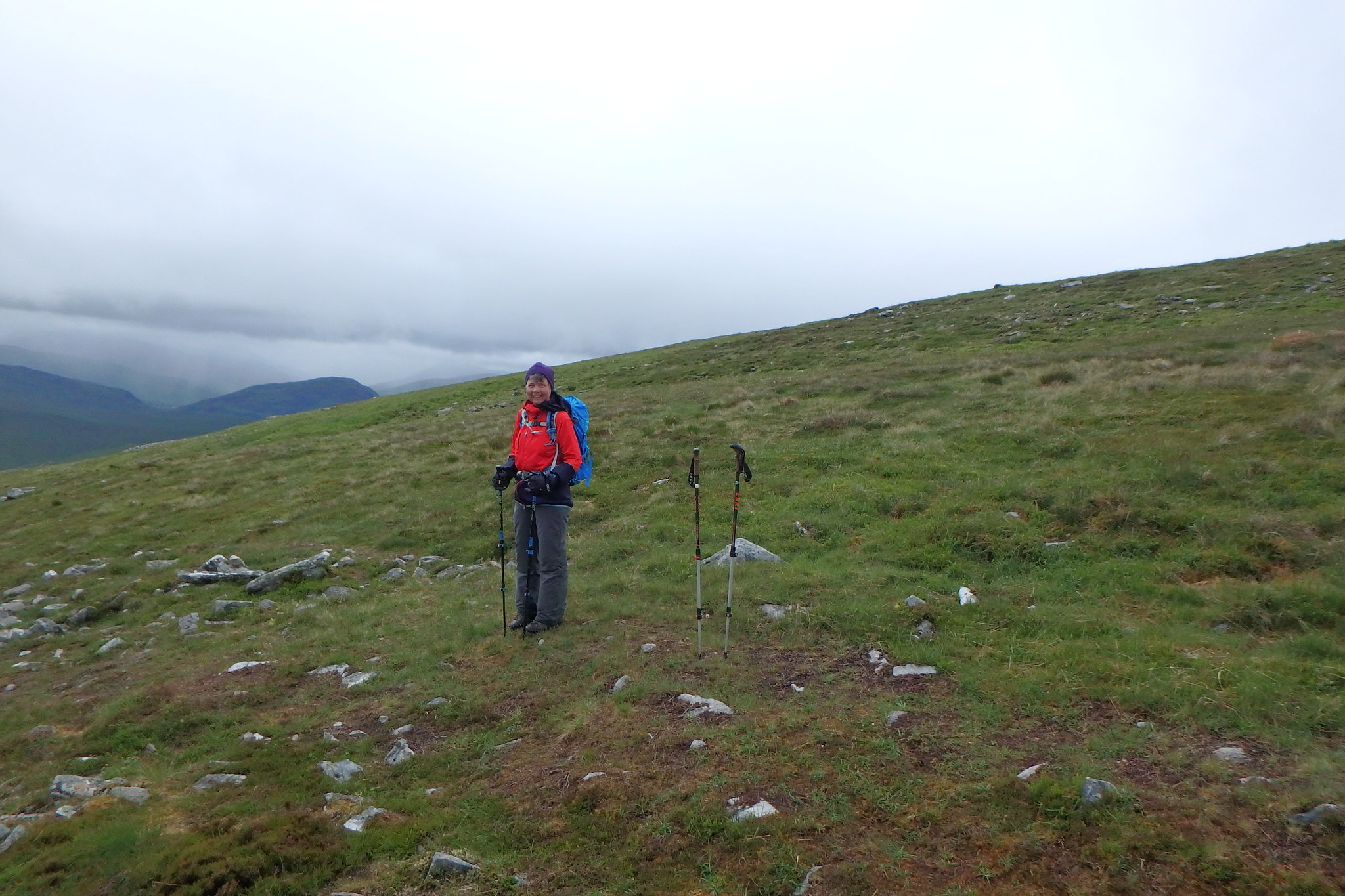
Setting off on the track towards the Youth Hostel we could see a path up the slopes of our mountain which must have been highlighted with the recent rain as we'd looked across in May and saw no evidence of one, it must have been because it had been so dry.
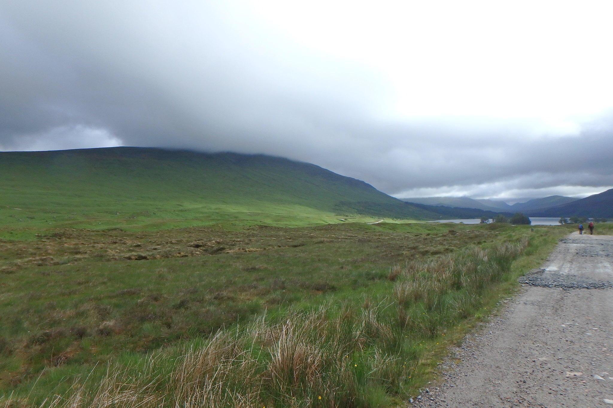
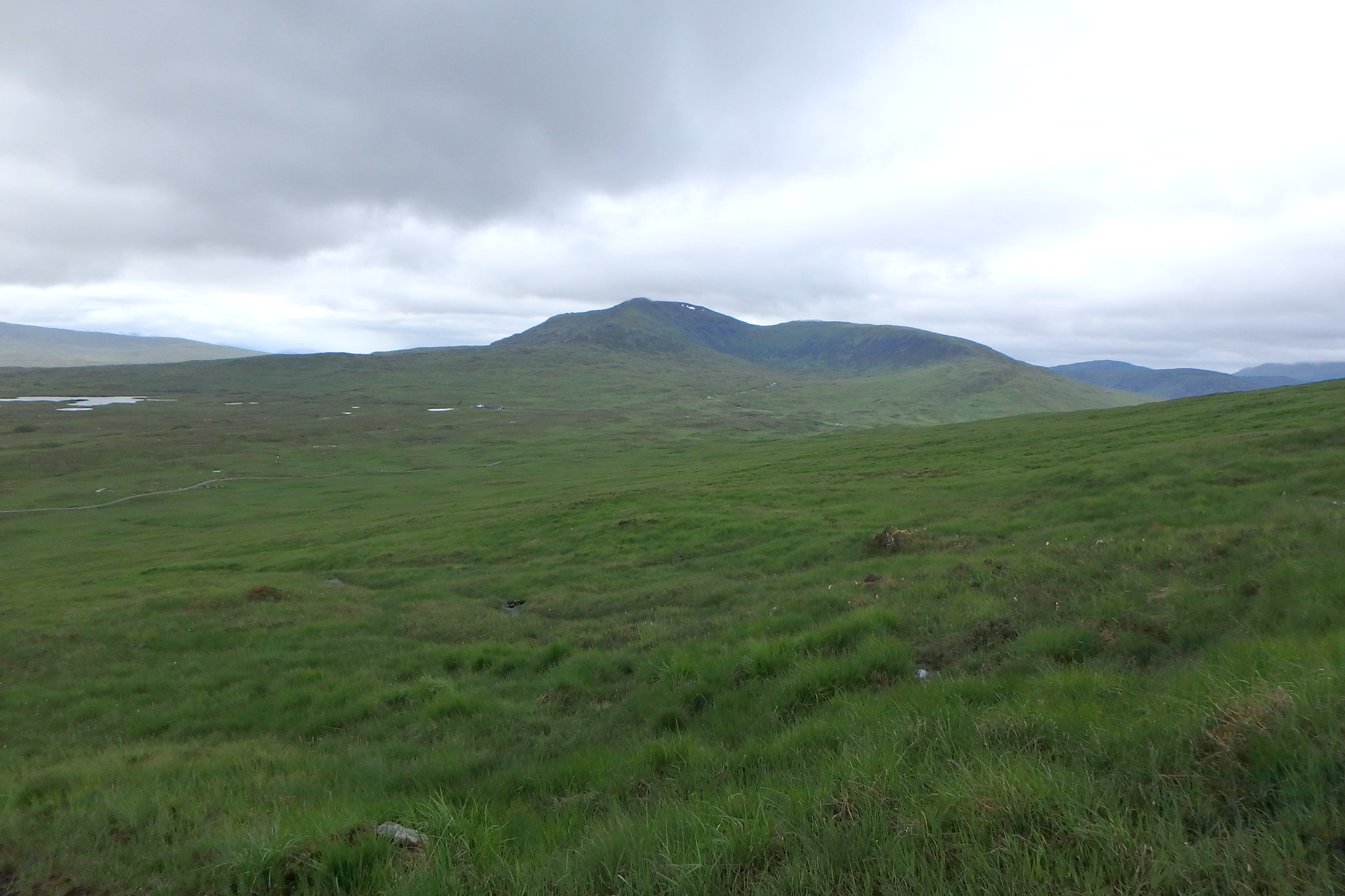
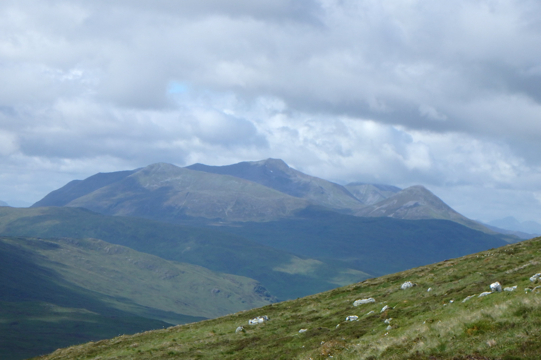
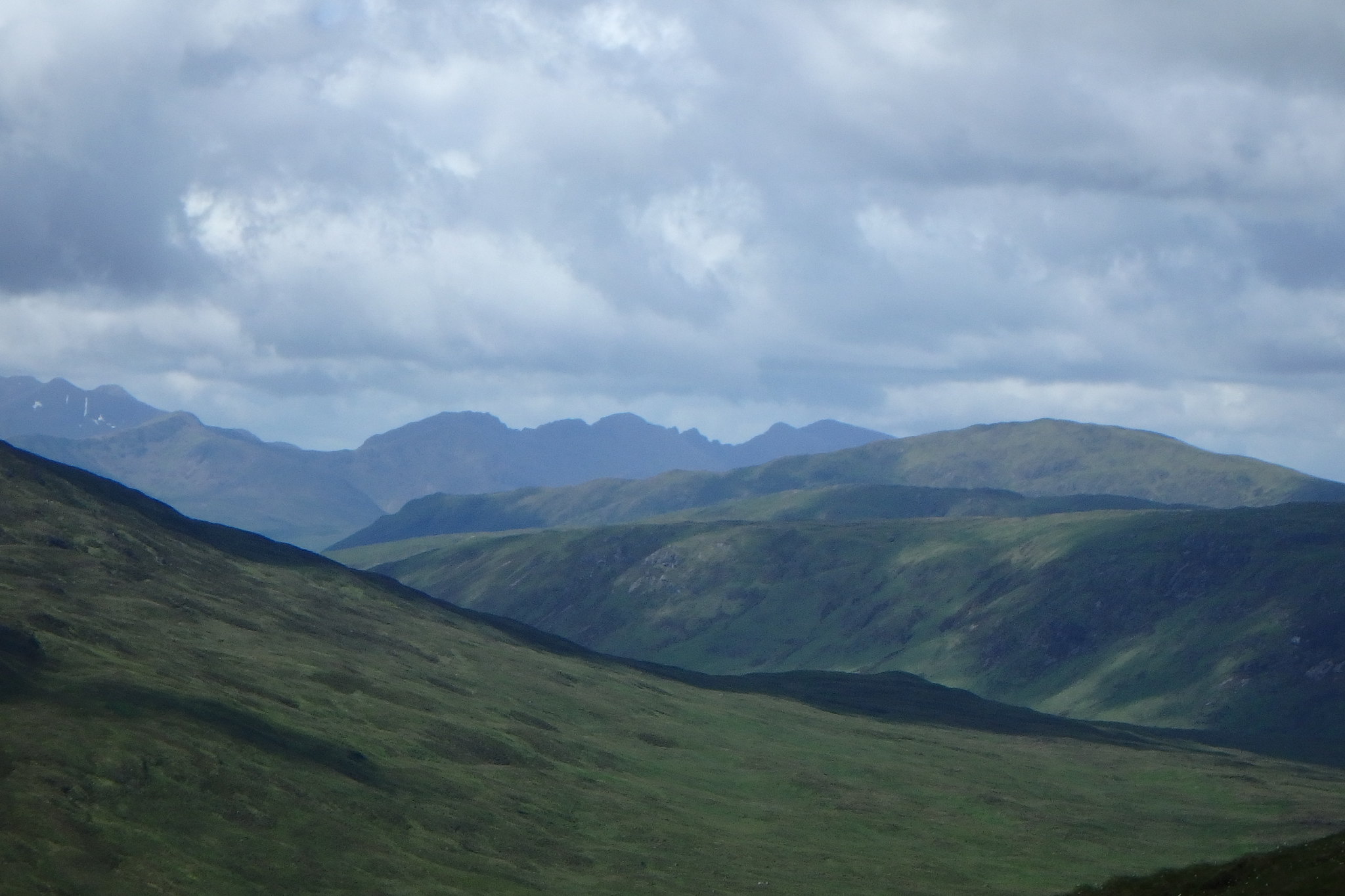
Looking back to Leum Uilleim
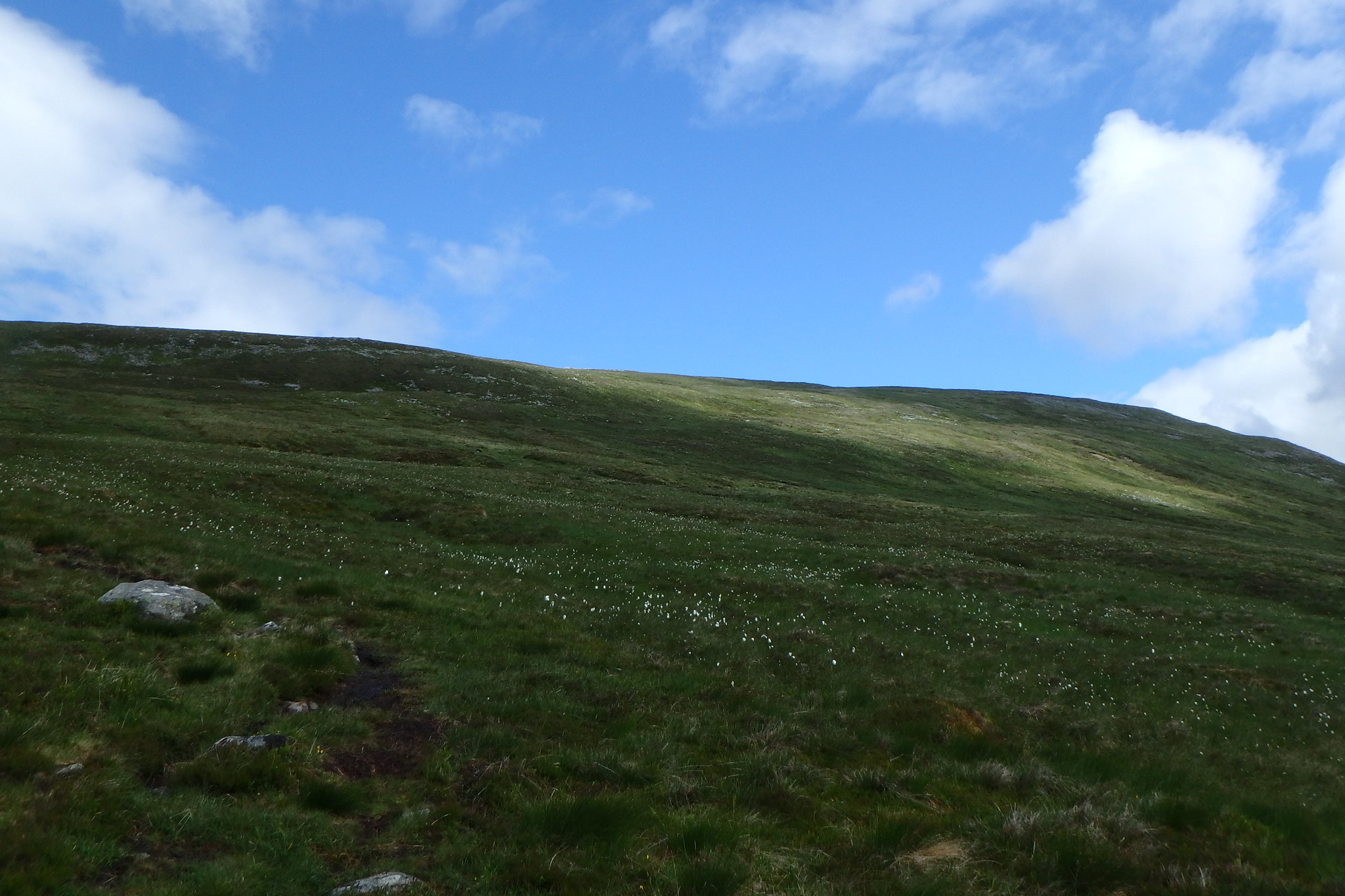
The ascent is very straight forward, the path is there even through the boggy bits.
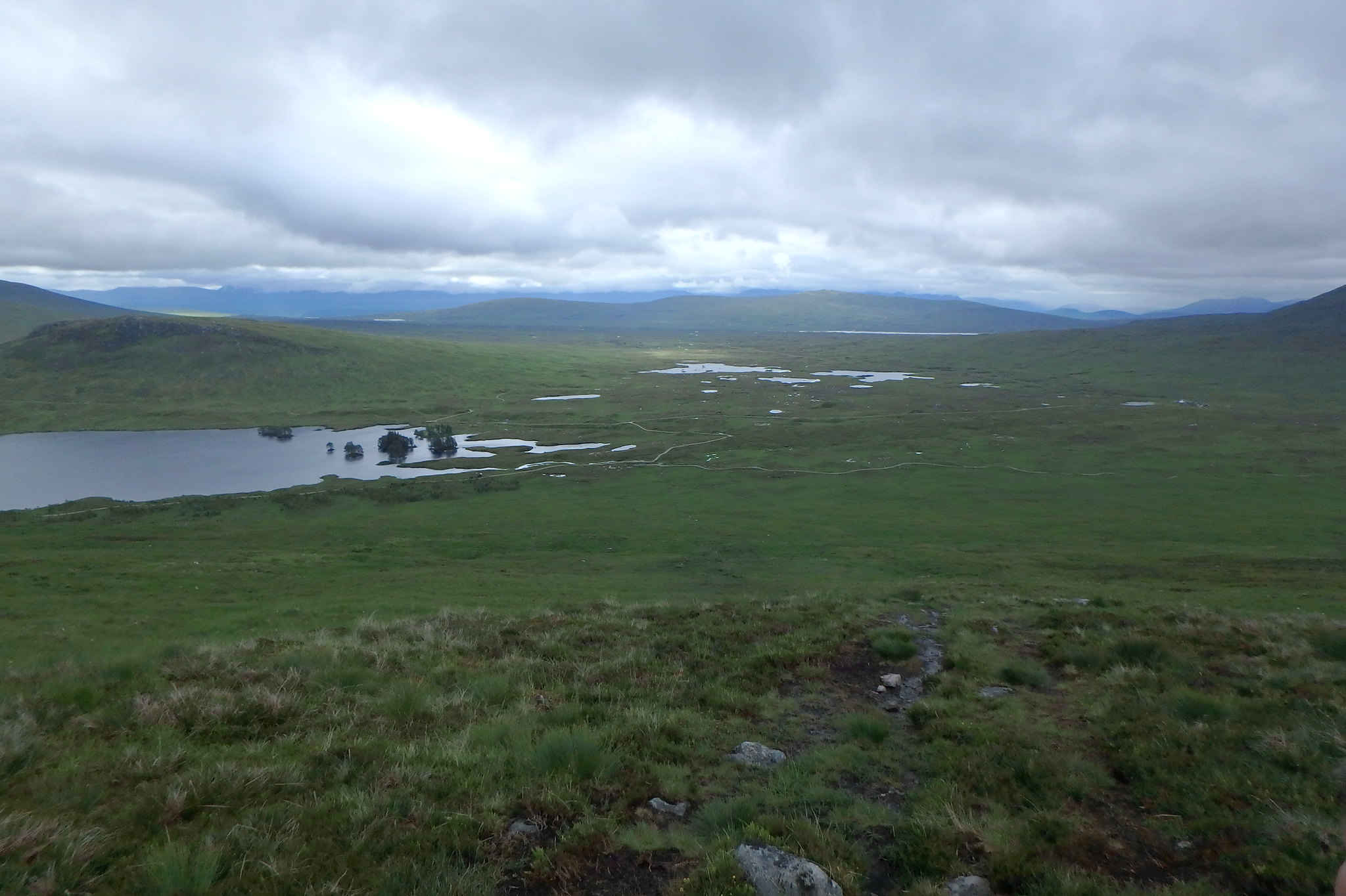
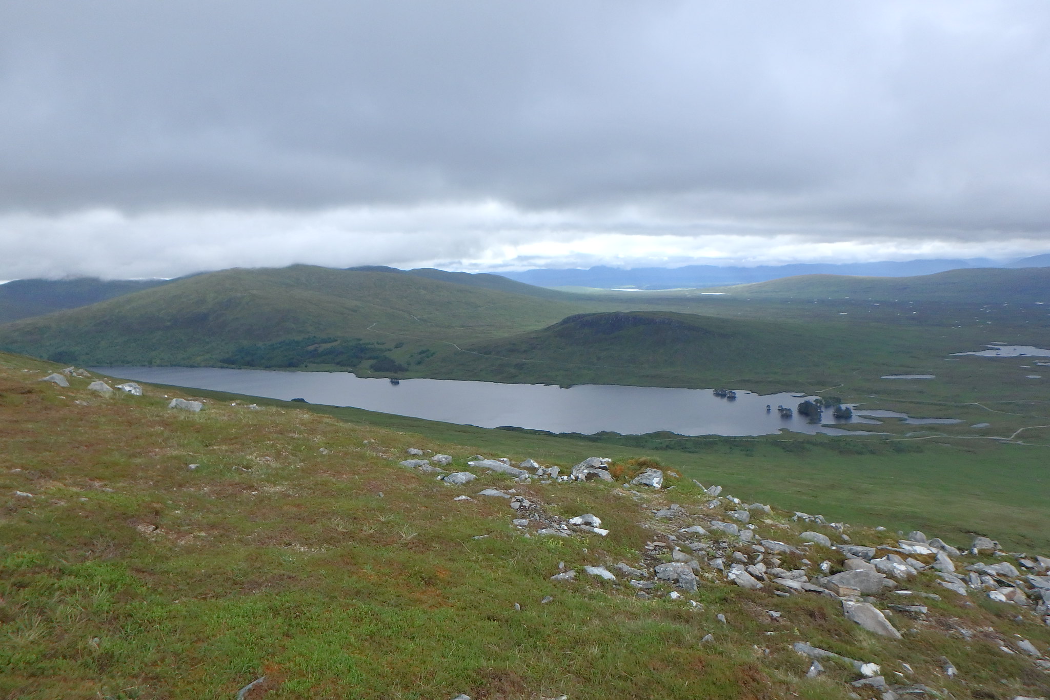
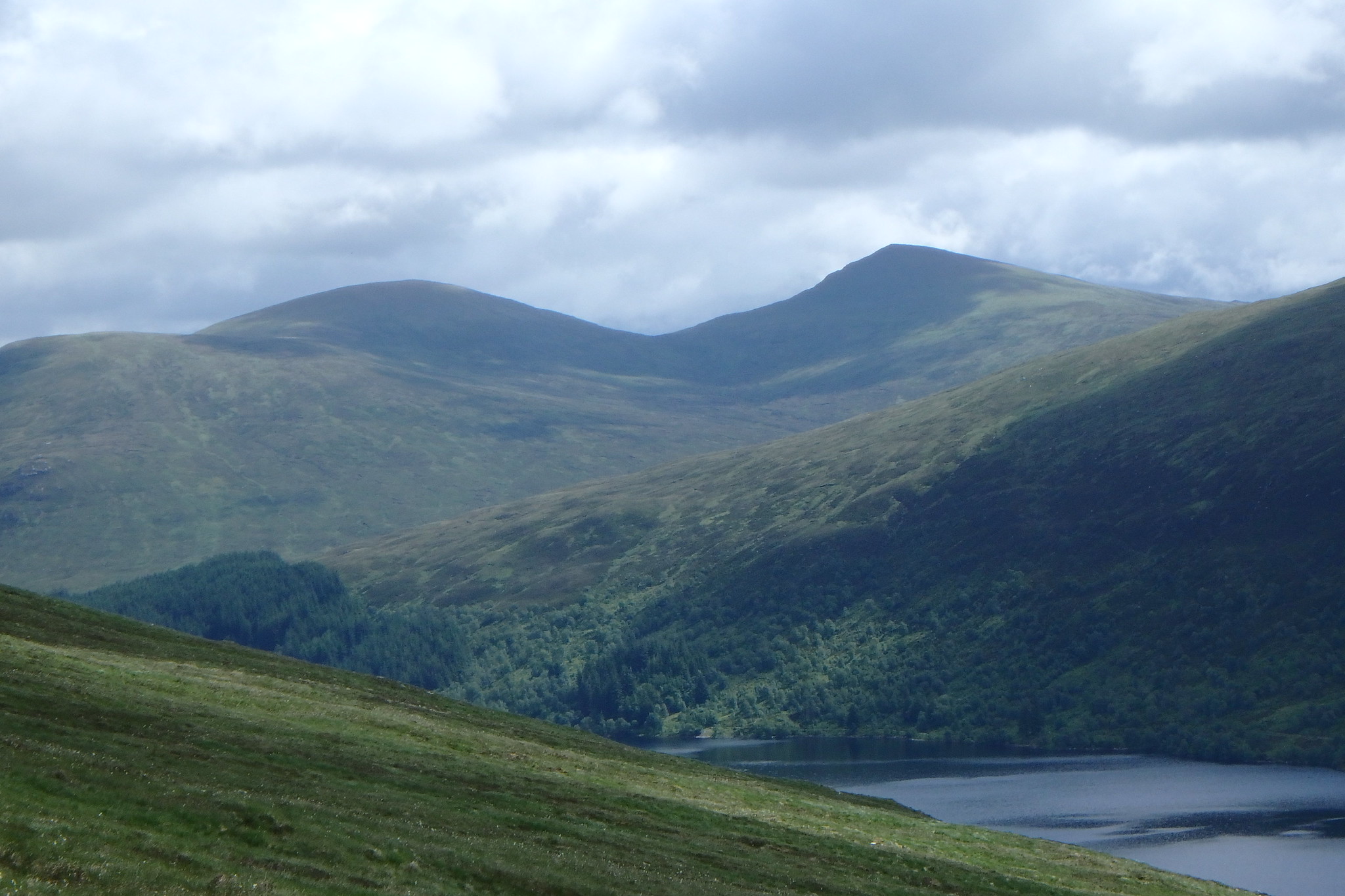
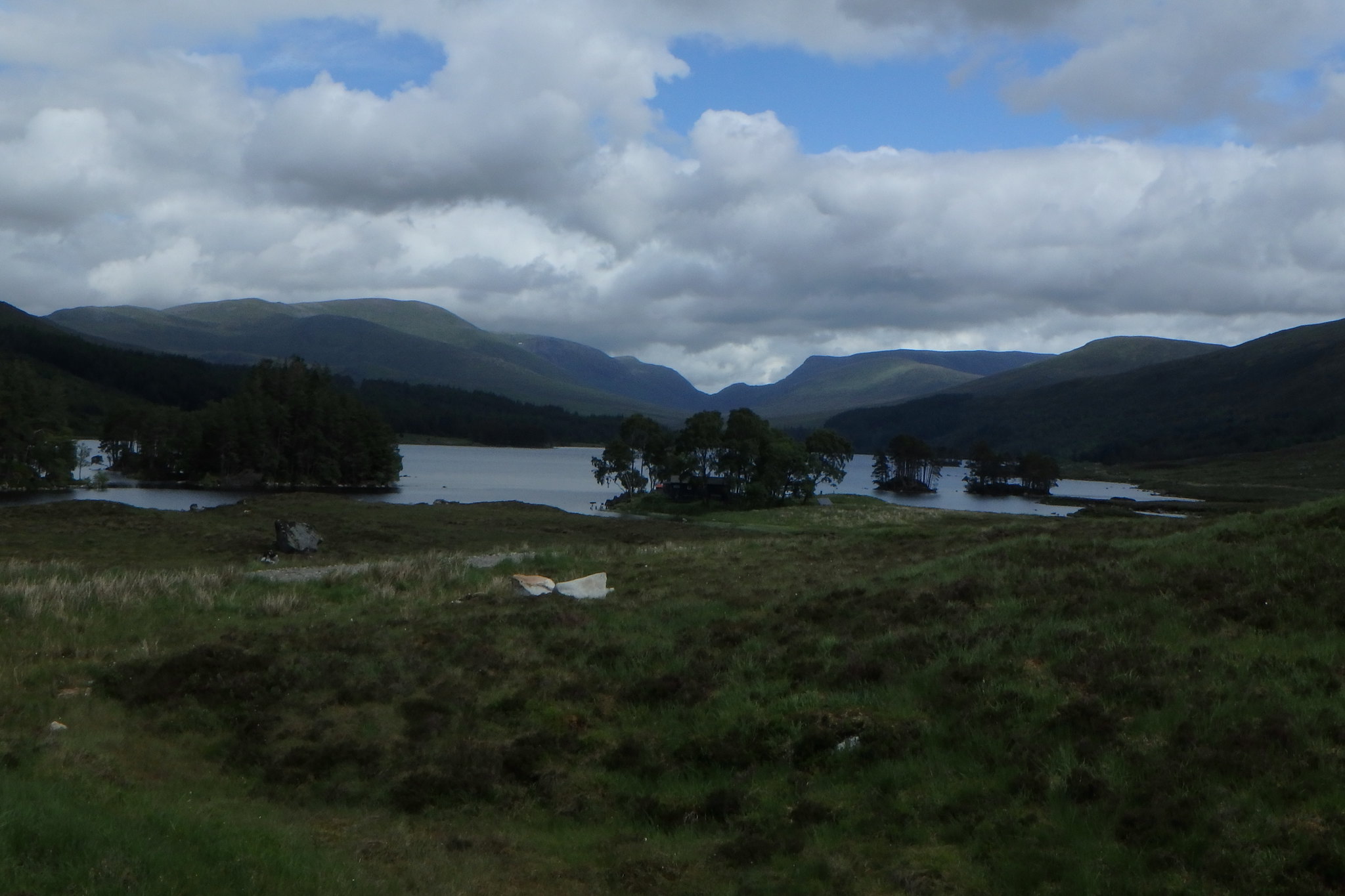
Views from the path.
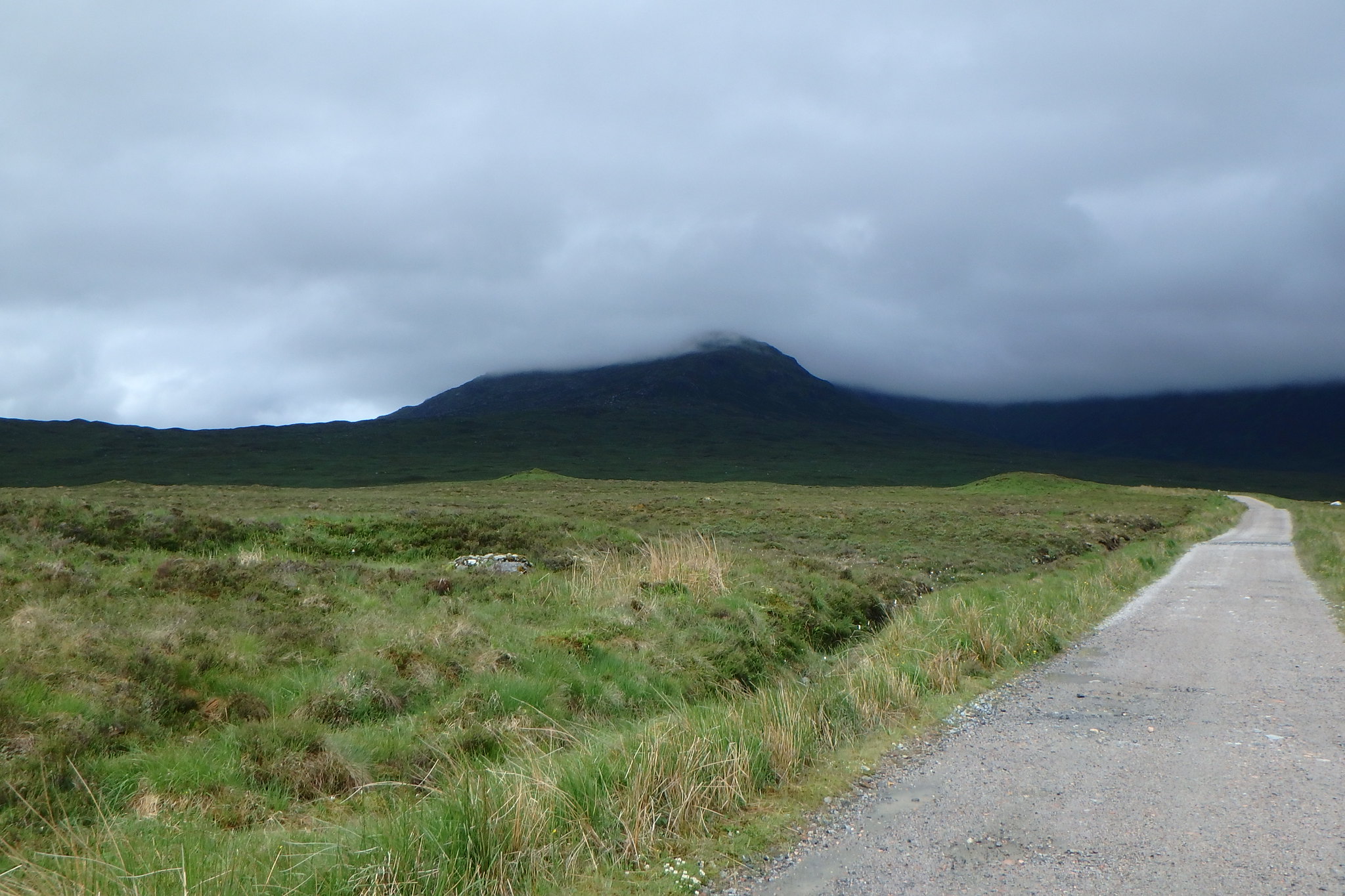
At around 750 meters it dries out and follows the broad ridge and over boulders to the summit.
There's a cairn on a slight rise just before the little lochan near the summit, we were in the clag and thought we were on the top, looking at the map we realised the summit had a shelter and it was beyond the lochan so we carried on and out of the mist the real summit revealed itself.
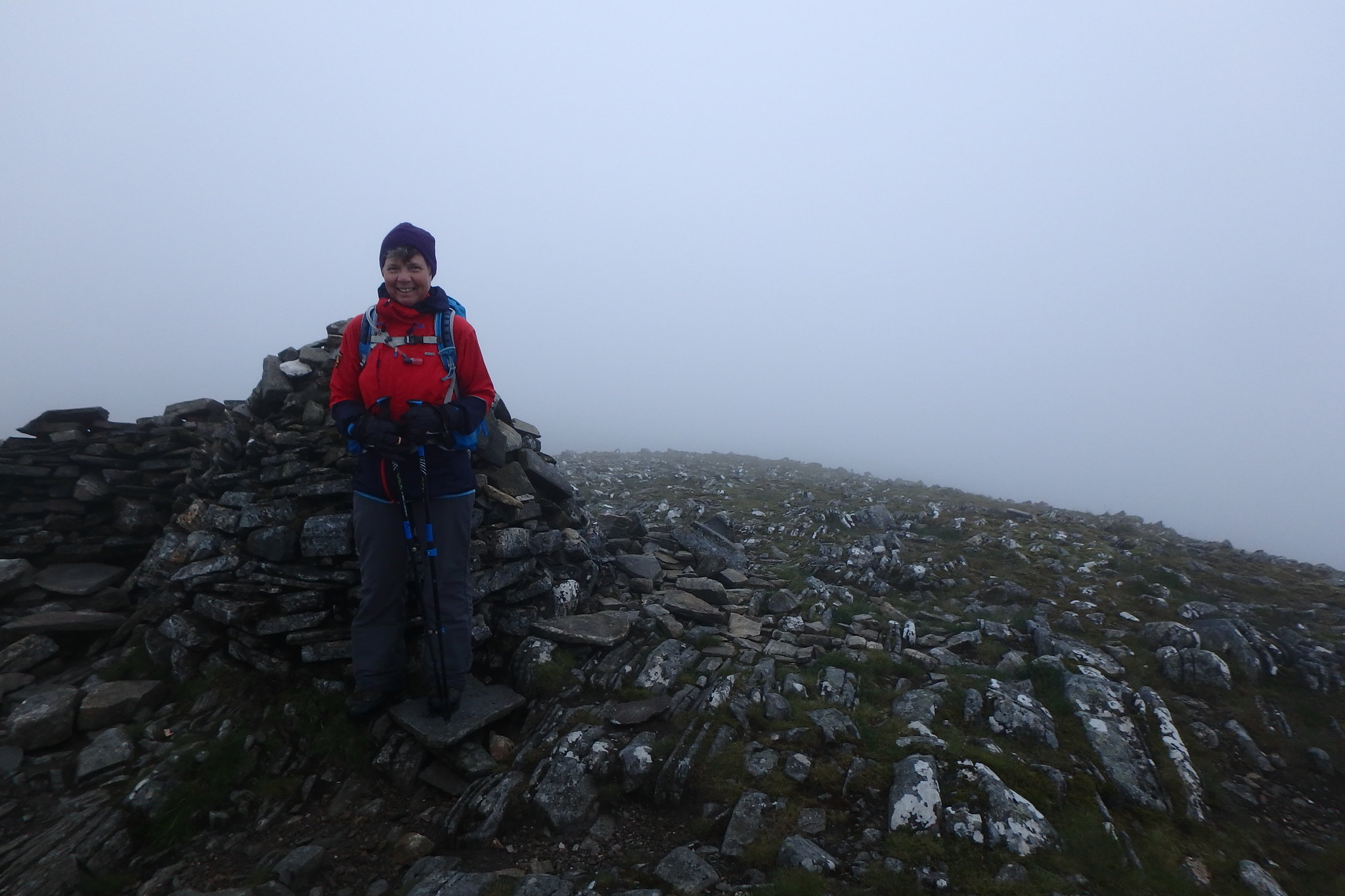
Summit Denise.
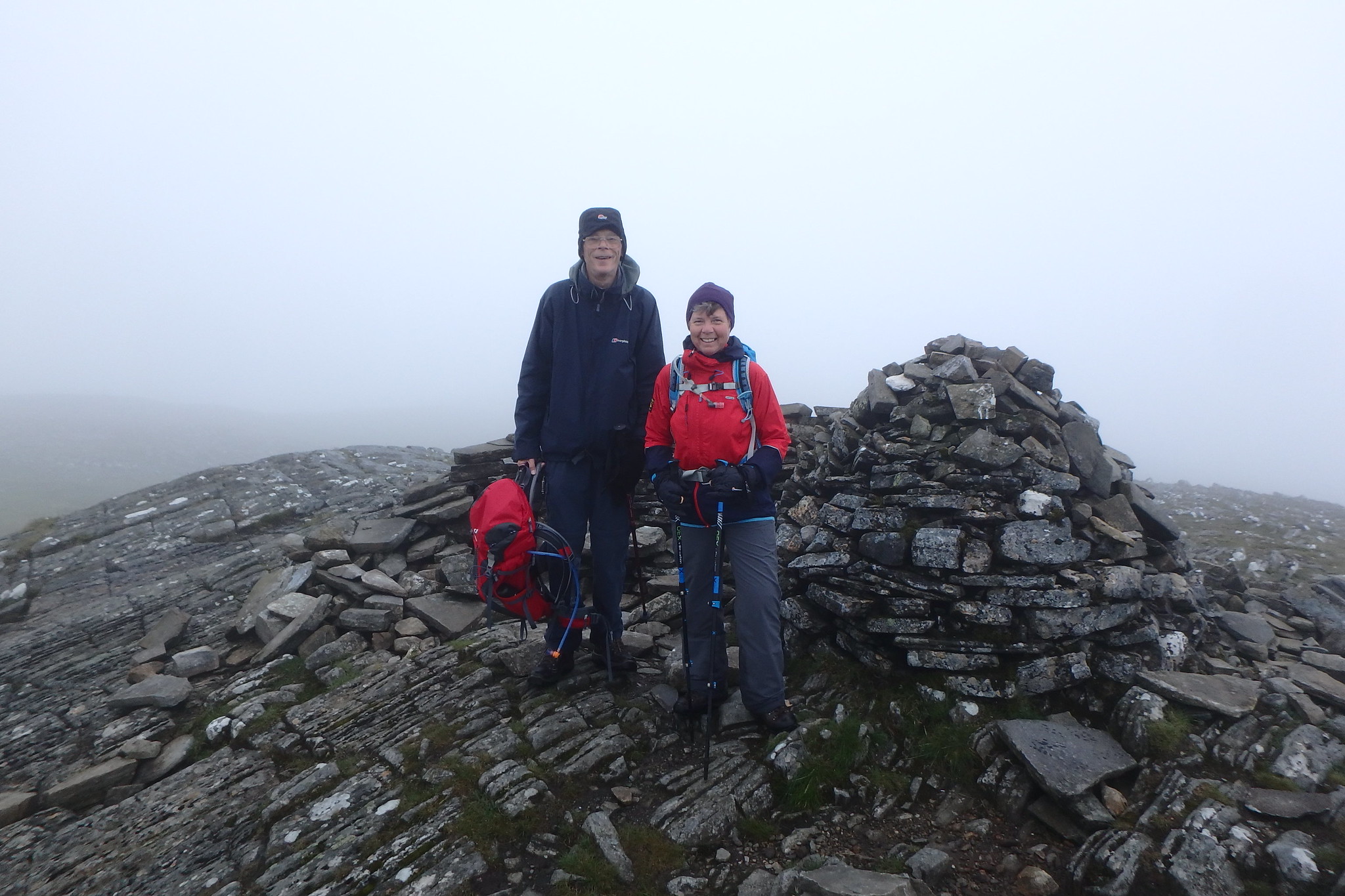
Summit Denise and Stewart.
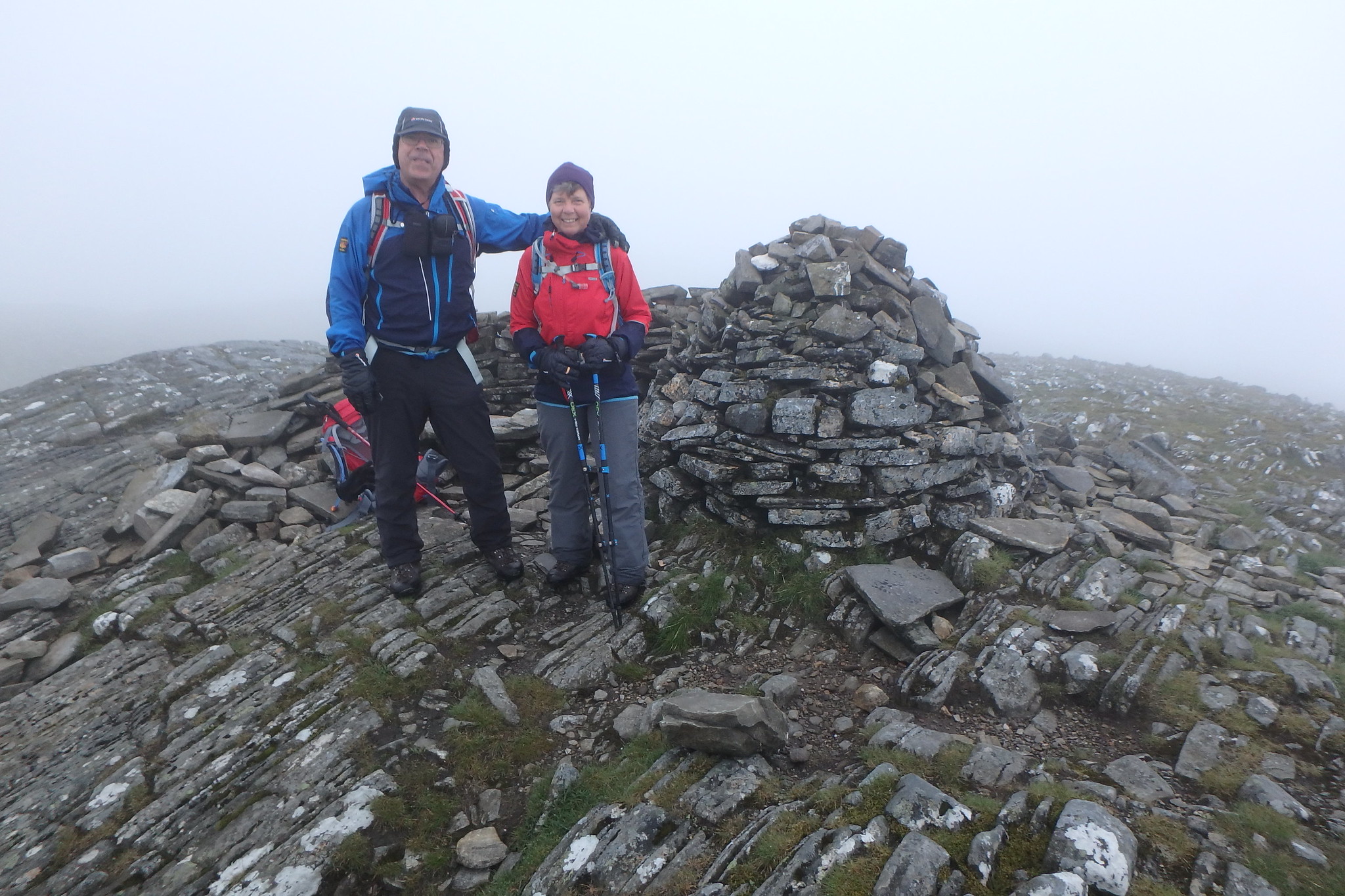
Denise and I, rare summit twosome shot.
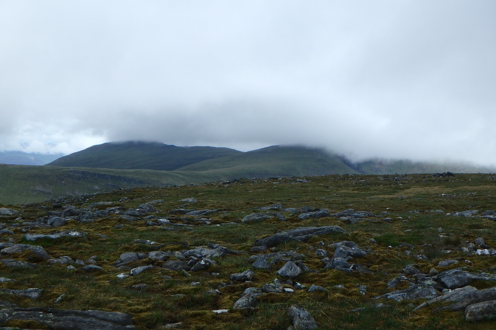
We had our lunch on the summit, no views again but it wasn't too chilly. Every now and again the clouds got thin enough to give us an idea of what was around us so we waited a bit longer for a view but to no avail. We set off from the summit back the way we'd come, past the cairn, and at around 800m we met a group on the way up, we had a quick chat about the clag and lack of views, just as we were leaving them Stewart said " they're going to get some views, I can feel it" and sure enough 10 mins later there was a patch of blue sky over the summit

if only we'd............
Views coming on.


Mr Blue sky.
[
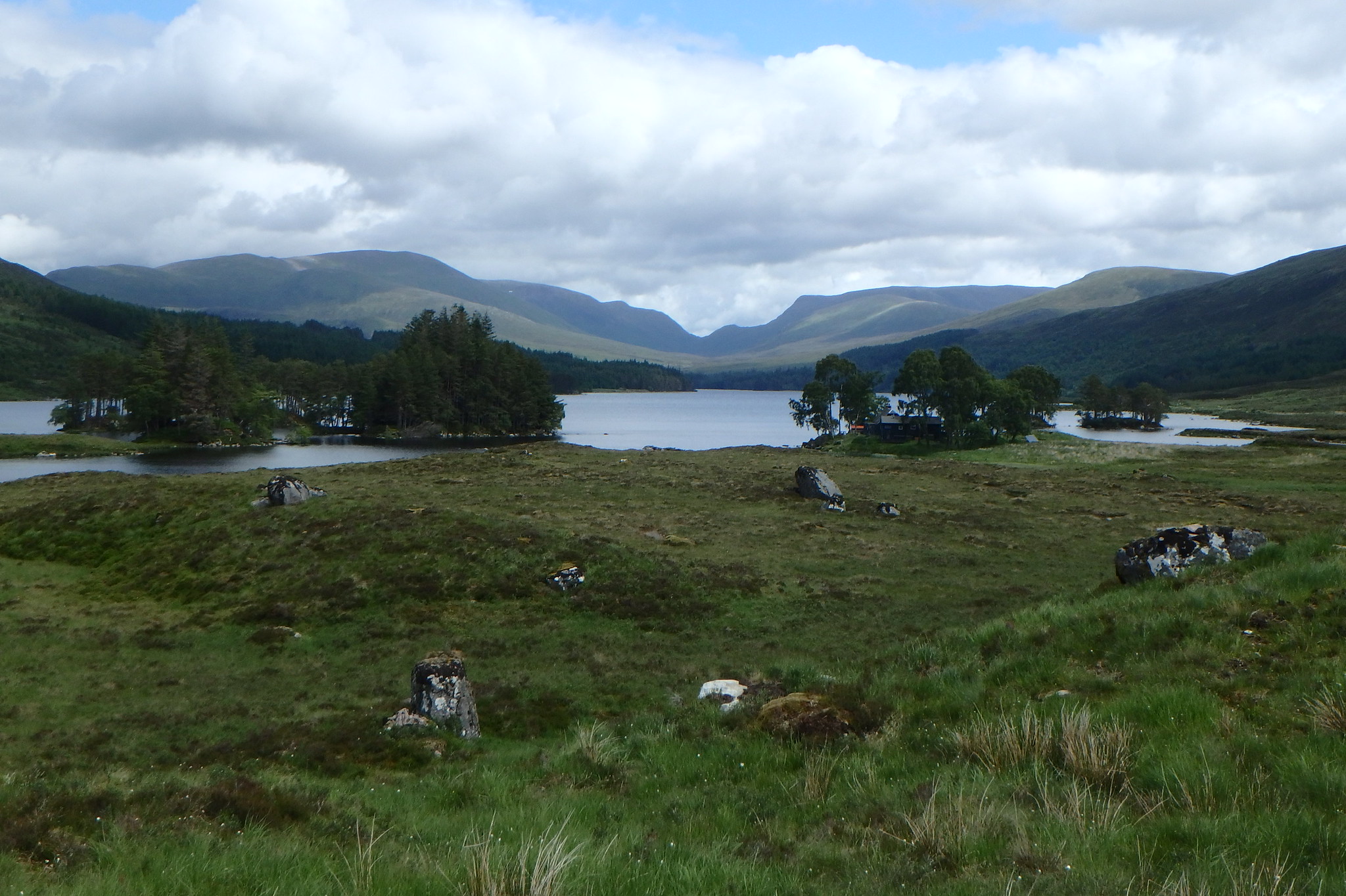
Hostel in the trees

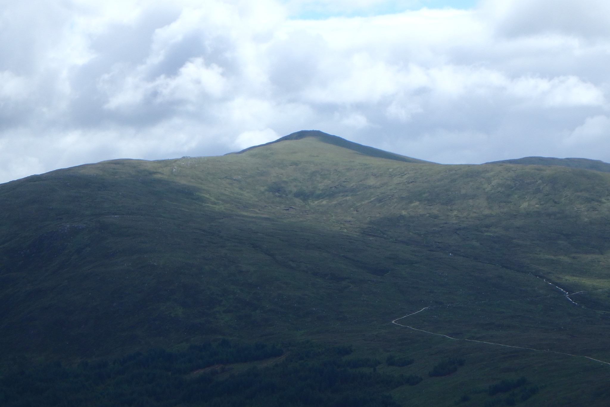
Glencoe.
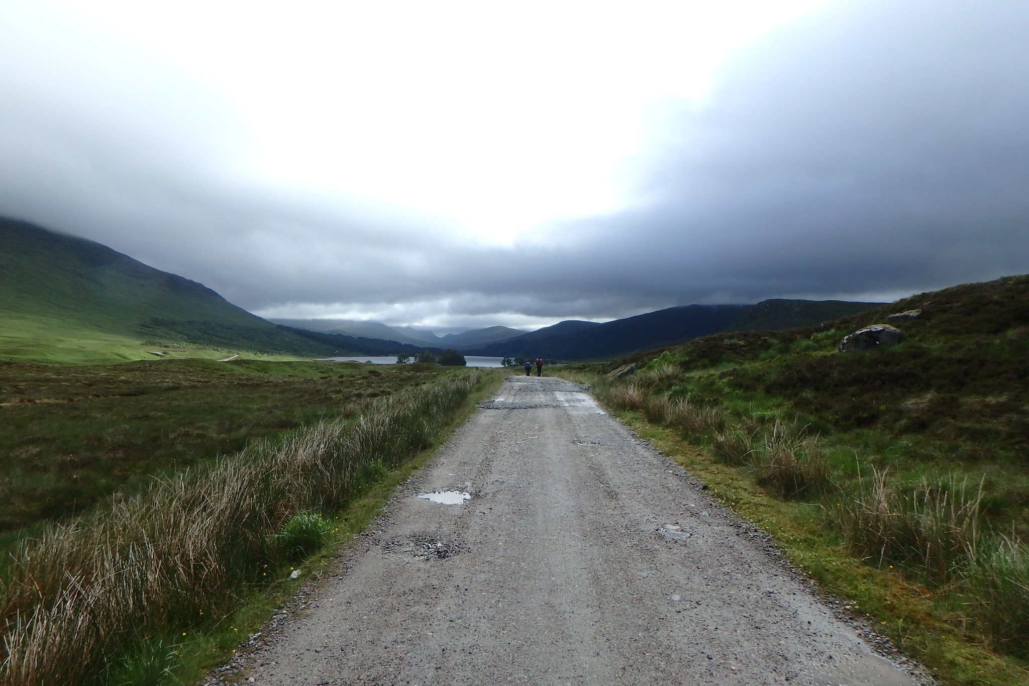
We could see the station now, we were on the WH route now which takes a slightly higher path than the one we used for ascent, lower down they meet but the split isn't obvious lower down.
Back on the track we started to look for a suitable stopping off point to have an extended break in the now sunshine.
Track views.


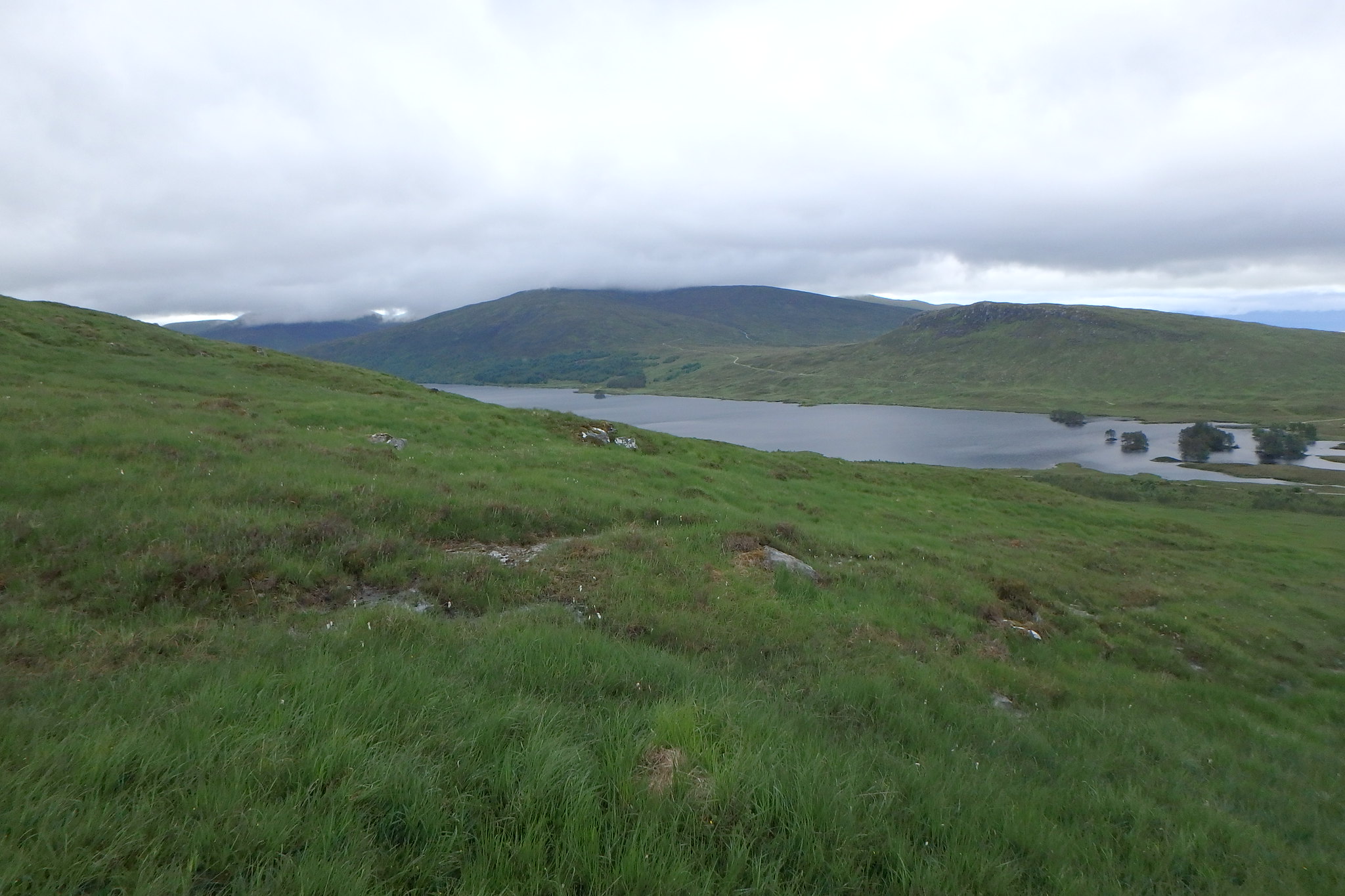
We spotted a couple of large boulders just by the junction in the track where it leads down to the hostel and spent a nice half hour absorbing the views.

Back at the station we had a couple of hrs to wait for the train so went in the cafe for coffee's and teas, it was a nice relaxing end to a very pleasant wonder in the hills.

So that was the Corrour munros done, it was only last year when I was looking at my munro map that I realised they were there, I'm glad I found them, it's another one of those parts of Scotland where you can immerse yourself in a wonderful piece of wilderness.
