free to be able to rate and comment on reports (as well as access 1:25000 mapping).
I was in Edinburgh for the weekend to catch up with friends and enjoy some quality whisky while watching the world cup. As we were in Colinton at the foot of the Pentlands I had a cunning plan... I would leave on Sunday and head straight for the hills, making my way along Capelaw Hill, Harbour Hill and Bell's Hill before finishing with Black Hill and walking down to Currie to get the train home.
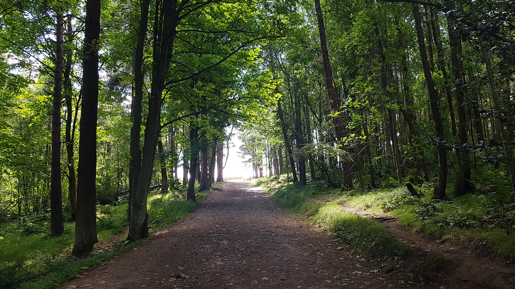
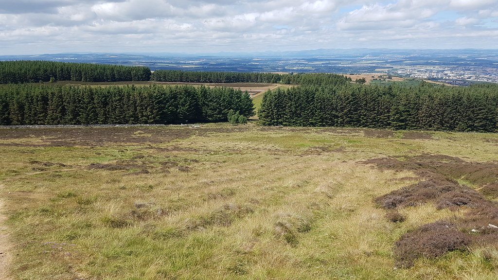
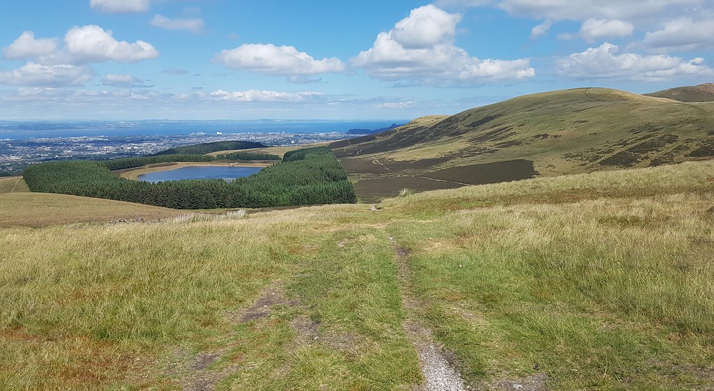
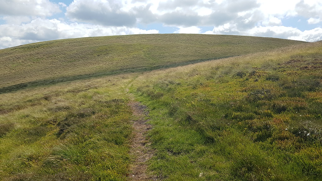
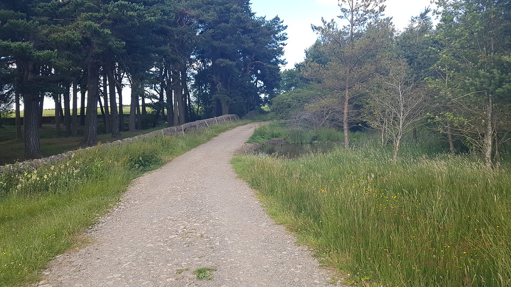
Saturday's entertainment was top notch as expected and a great time was had by all. Slightly weary on the Sunday, I said my cheerio's then set off just before 1pm, taking not long to reach Bonaly and the path uphill through the trees:
 20180708_130521
 by
Chris Mac, on Flickr
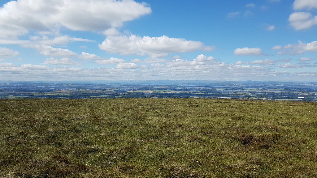
No big camera with me today so this will just be phone pics but i've got plenty of better shots of the Pentlands from other walks, Black Hill isn't exactly the prettiest lump either...

Looking back on Edinburgh now i've gained some height, West and East Lomond visible on the horizon:
 20180708_130950
 by
Chris Mac, on Flickr
It was a case of follow the track uphill, not very scenic but soon the first target of the day Capelaw Hill is in view:
 20180708_131357
 by
Chris Mac, on Flickr
I go through a gate and reach Bonaly Reservoir then go through another gate and i'm at the bottom of Capelaw Hill. As per the Ochils, with the Pentlands being well walked I wasn't surprised to see a path from where I was leading straight uphill, saving a slight detour on my planned route up, result!
 20180708_132316
 by
Chris Mac, on Flickr
The view north west is good although visibility isn't the best but I can make out Ben Venue, Ben Ledi, Beinn Each, Stuc a' Chroin and Ben Vorlich along with the Ochils and Forth bridges:
 20180708_132522
 by
Chris Mac, on Flickr
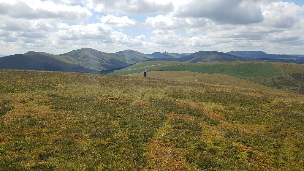
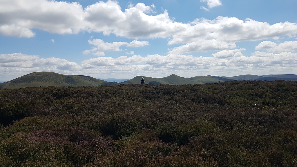
Approaching the summi, the view west opens up and the other Pentlands can be seen with West Kip looking nice and pointy. This bloke is walking in the direction of Harbour Hill and Bell's Hill is hidden behind it and before Black Hill the rounded dark heathery lump mid-left:
 20180708_133046
 by
Chris Mac, on Flickr
Allermuir Hill to the east, North Berwick Law just peeking out in the distance on the left:
 20180708_133125
 by
Chris Mac, on Flickr
Capelaw Hill summit:
 20180708_133244
 by
Chris Mac, on Flickr
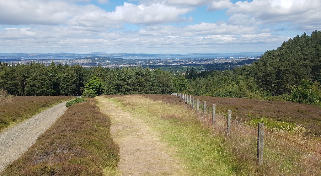
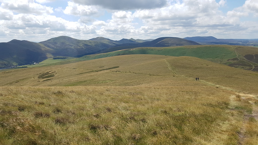
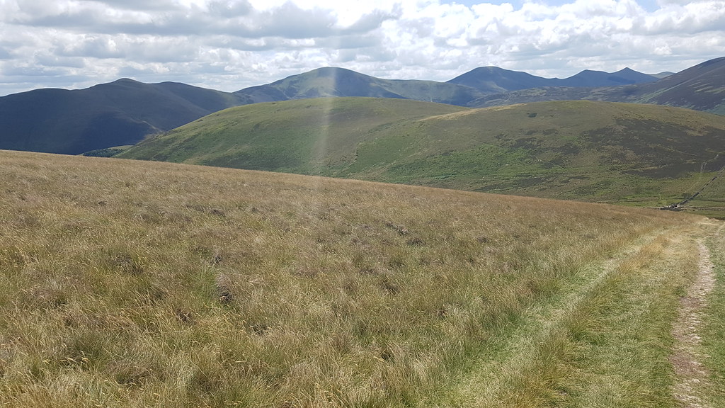
I didn't stay long and set off again along the good path network, almost all of my route shown on the right in this photo:
 20180708_133354(0)
 by
Chris Mac, on Flickr
It was a nice day so the Pentlands were pretty busy with large groups and lots of solo walkers, time to head down off Capelaw Hill onto Harbour Hill, Cairnpapple Hill visible on the right in the background:
 20180708_133942
 by
Chris Mac, on Flickr
Heading up Harbour Hill:
 20180708_134355
 by
Chris Mac, on Flickr
Castlelaw Hill on the left during the ascent:
 20180708_134618
 by
Chris Mac, on Flickr
Looking back at Bonaly Reservoir and Capelaw Hill:
 20180708_134757
 by
Chris Mac, on Flickr
Bein a round Tump with no summit feature I try my best to find the highest tuft of grass around the summit on the OS map, the view west:
 20180708_134810
 by
Chris Mac, on Flickr
East from Harbour Hill, Allermuir Hill and Caerketton Craigs:
 20180708_134912
 by
Chris Mac, on Flickr
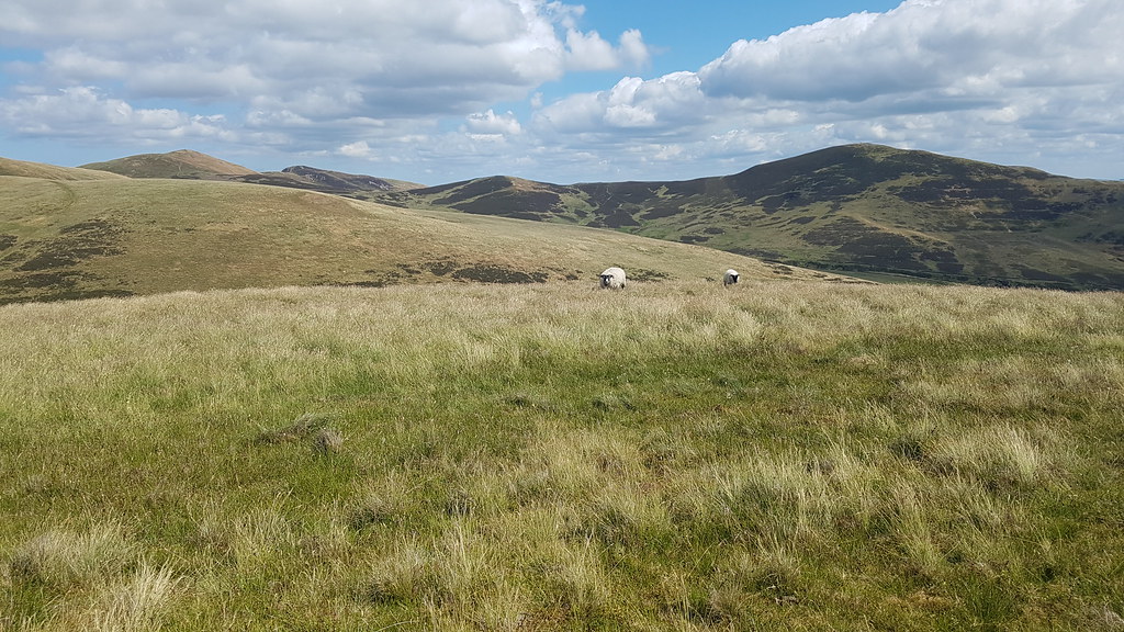
Just the sheep for company on Harbour Hill!
 20180708_135037
 by
Chris Mac, on Flickr
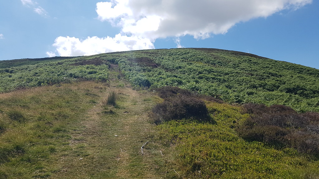
Bell's Hill next on the way along to Black Hill and on the path down I can spot another path heading diagonally left up to the summit, excellent, yet another Pentlands path that isn't on the map that suits my route perfectly:
 20180708_135231
 by
Chris Mac, on Flickr
Black Hill and distant East Cairn Hill visible along with Threipmuir Reservoir:
 20180708_135235
 by
Chris Mac, on Flickr
Harbour Hill is made of two mounds, the left one has the summit:
 20180708_135454
 by
Chris Mac, on Flickr
Heading up the path now, Castlelaw Hill visible again along with Glencorse Reservoir:
 20180708_135950
 by
Chris Mac, on Flickr
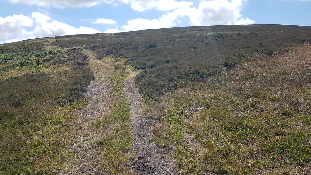
Path to summit, not on the OS map or opencyclemap:
 20180708_140147
 by
Chris Mac, on Flickr
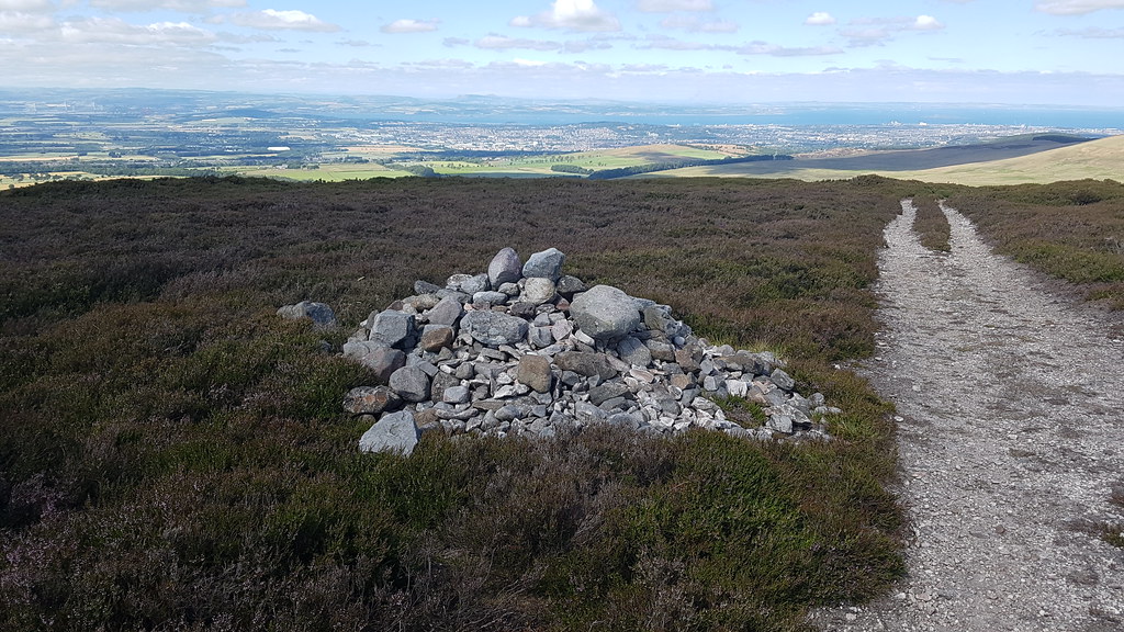
Woohoo a cairn! Turnhouse Hill behind:
 20180708_140604
 by
Chris Mac, on Flickr
Turnhouse Hill and Carnethy Hill from Bell's Hill:
 20180708_140637
 by
Chris Mac, on Flickr
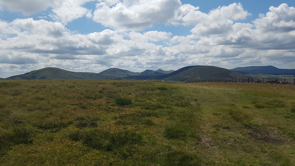
Scald Law and the Kips:
 20180708_140643
 by
Chris Mac, on Flickr
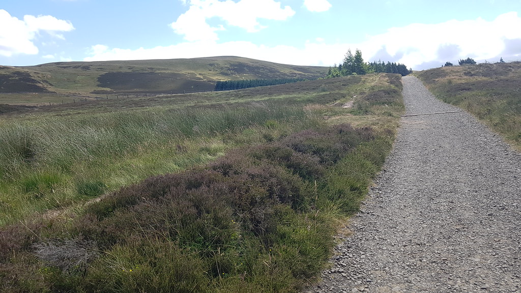
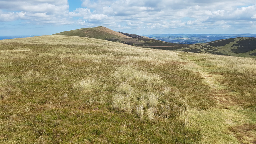
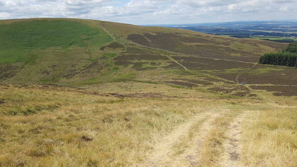
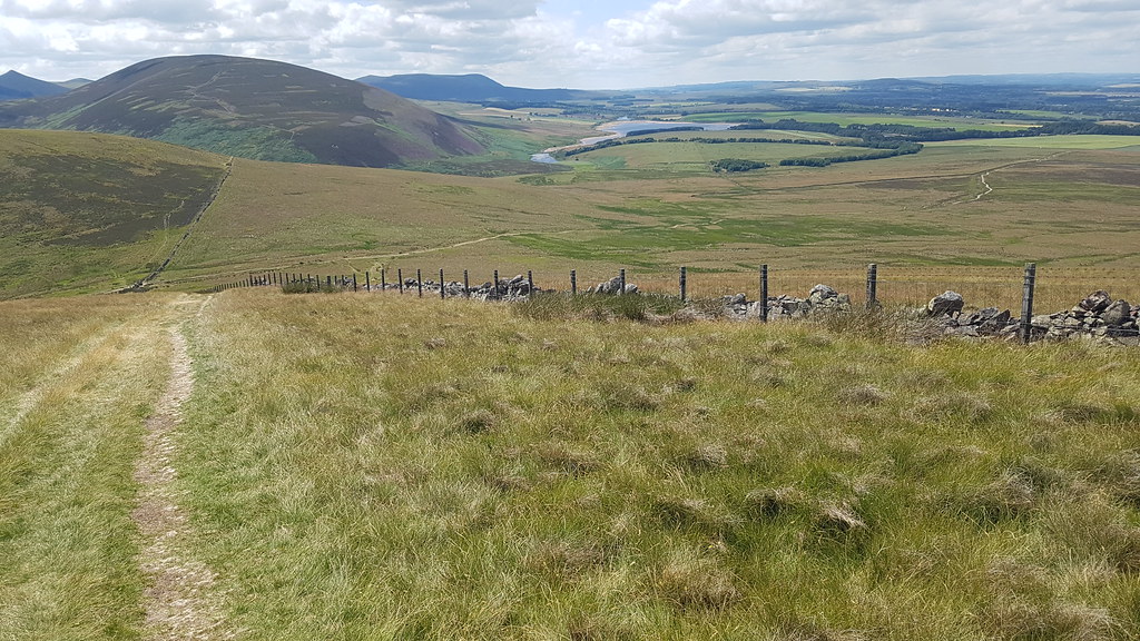
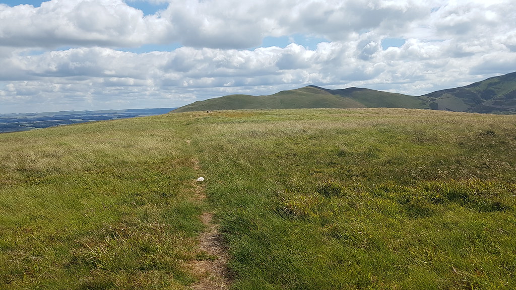
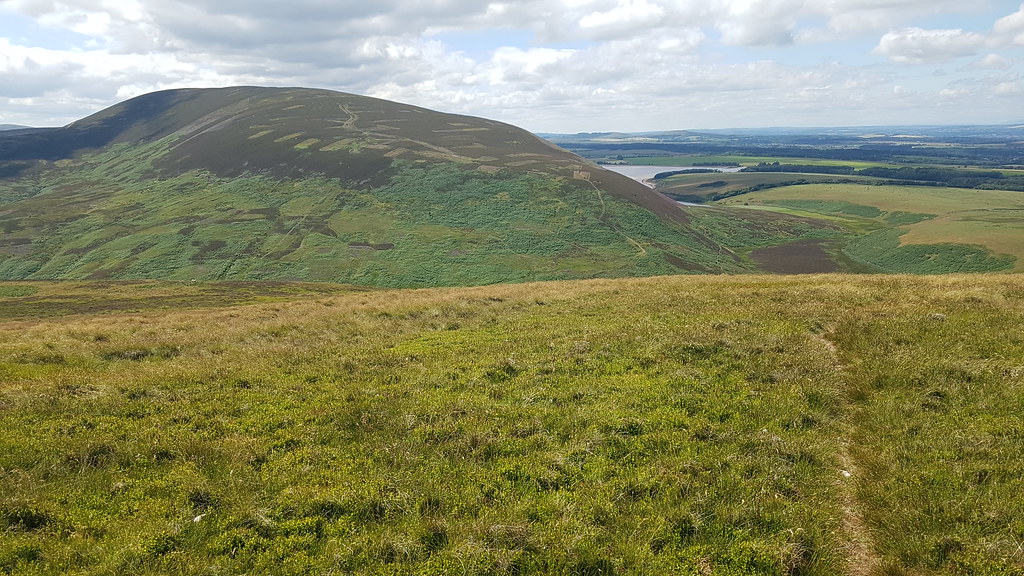
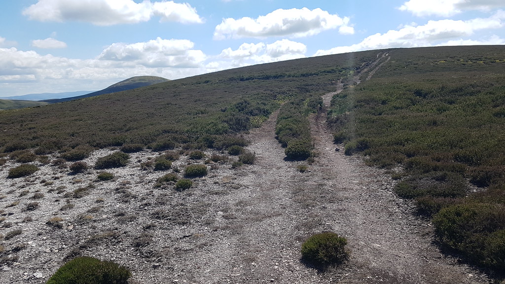
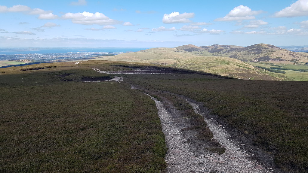
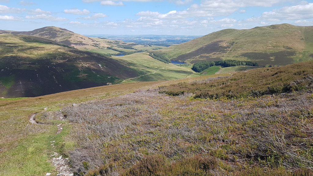
Black Hill and almost the way ahead, going uphill following the main path, back down it, around to the left towards Threipmuir, then right and towards Currie:
 20180708_140925
 by
Chris Mac, on Flickr
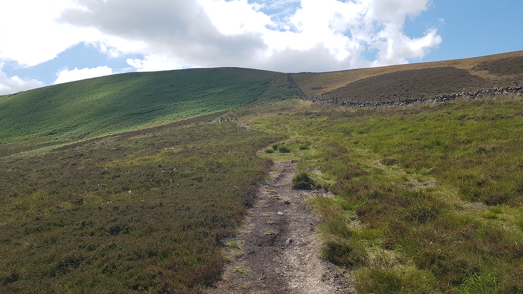
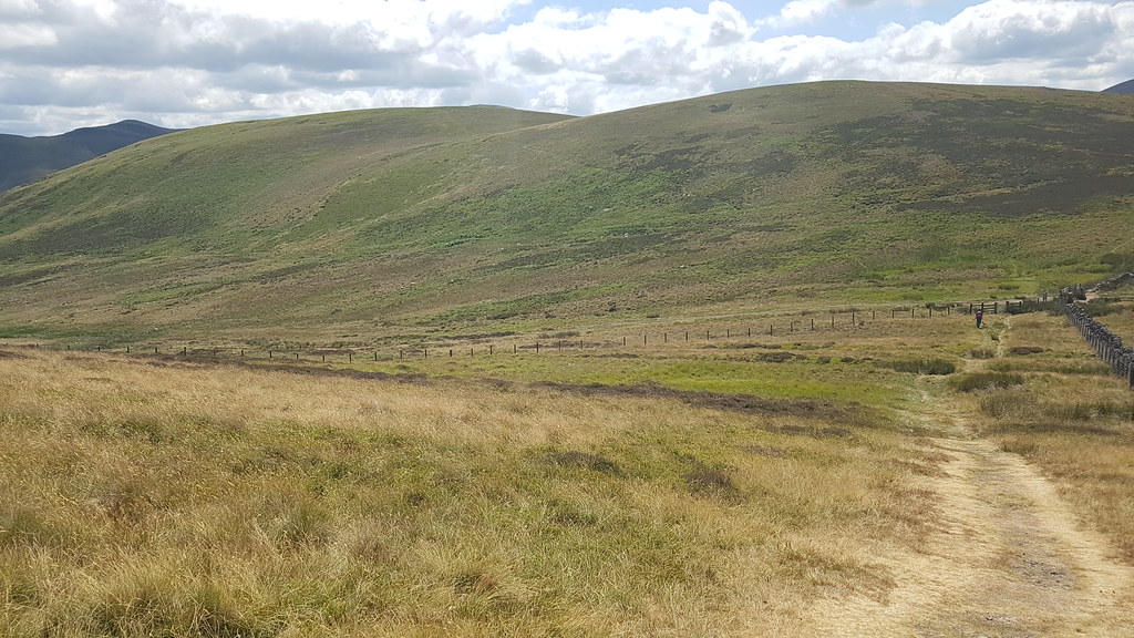
Once again i'm pleasantly surprised to find another non-map path going my direction, if only all walks were this effortless for routefinding!
 20180708_141041
 by
Chris Mac, on Flickr
 20180708_141129
 by
Chris Mac, on Flickr
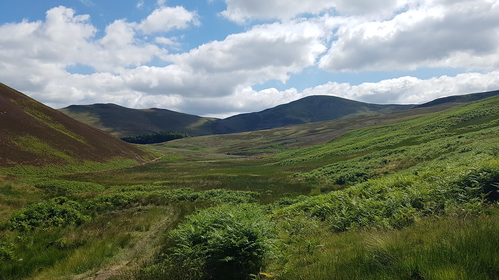
Inbetween the hills looking south:
 20180708_141835
 by
Chris Mac, on Flickr
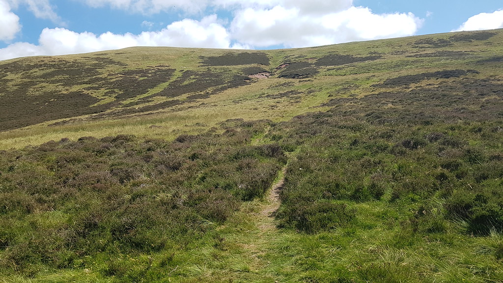
Time for a slog uphill and not the most scenic one either...
 20180708_142137
 by
Chris Mac, on Flickr
 20180708_142553
 by
Chris Mac, on Flickr
 20180708_143912
 by
Chris Mac, on Flickr
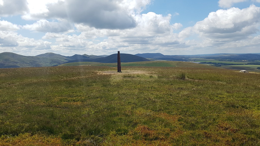
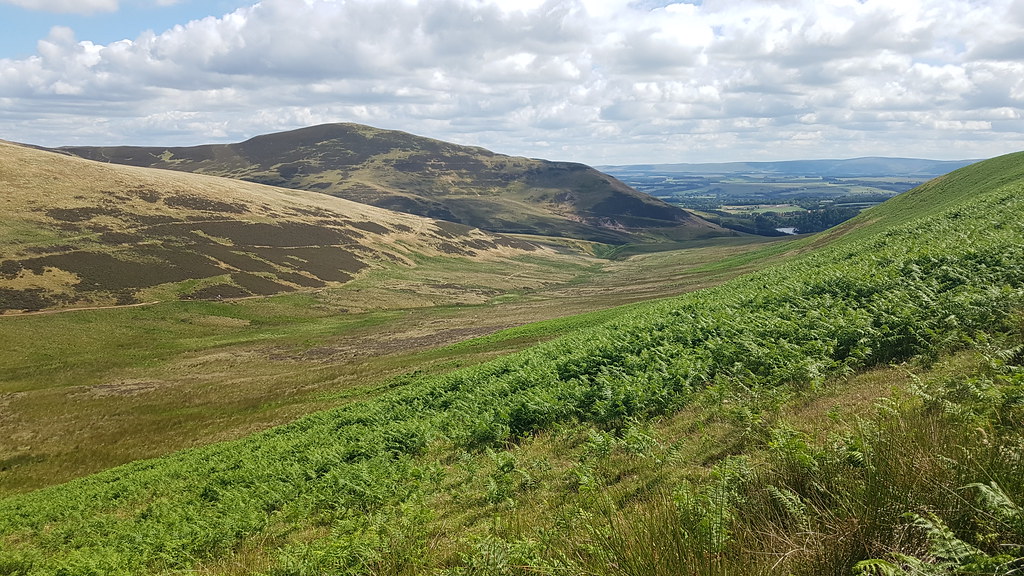
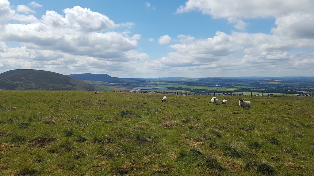
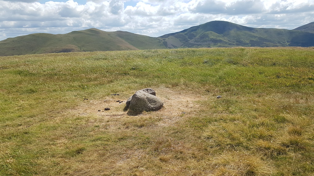
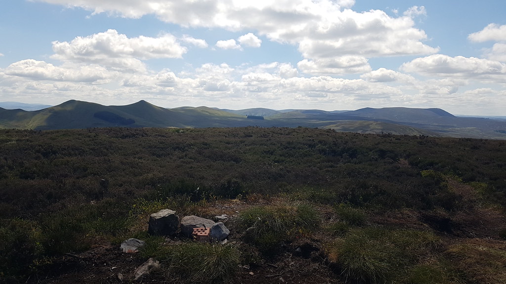
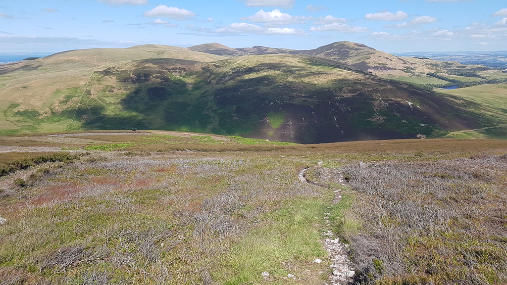
At last I reach the summit cairn (L) and the view over to Scald Law and the Kips is a good one, with Broad Law the Southern Uplands Corbett visible inbetween them:
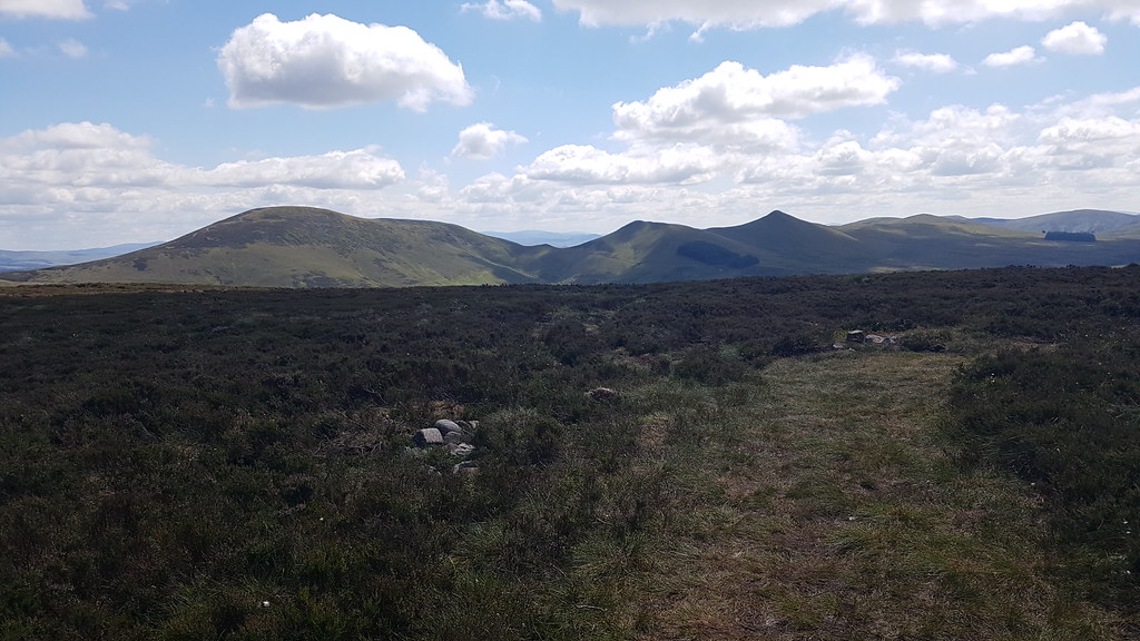 20180708_144305
 by
Chris Mac, on Flickr
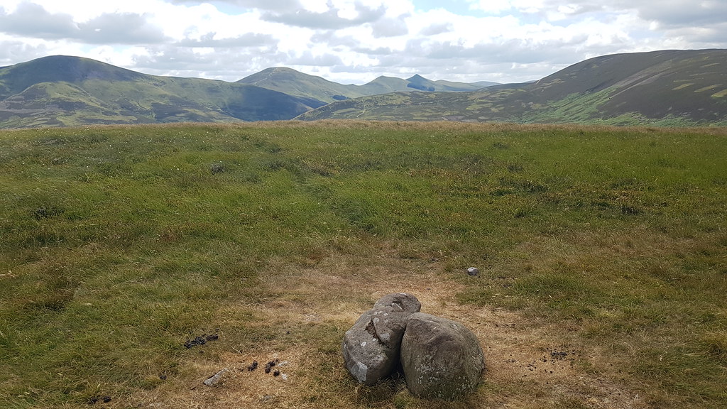
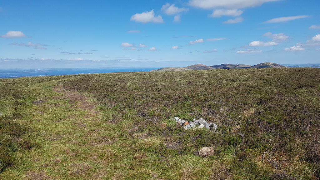
I go to the second cairn and have a seat, soaking in the view west to the Mount and East Cairn Hill:
 20180708_144318
 by
Chris Mac, on Flickr
The view north east, with a large round summit this size Black Hill should be a Meall...
 20180708_144432
 by
Chris Mac, on Flickr
A gentleman who walked past while I was enjoying my lunch snack, one of just 3 people I saw on the hill, it could be the least popular Pentland...
 20180708_145955
 by
Chris Mac, on Flickr
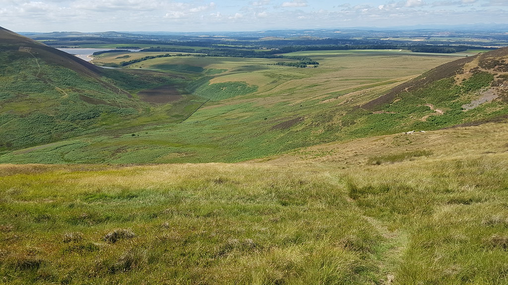
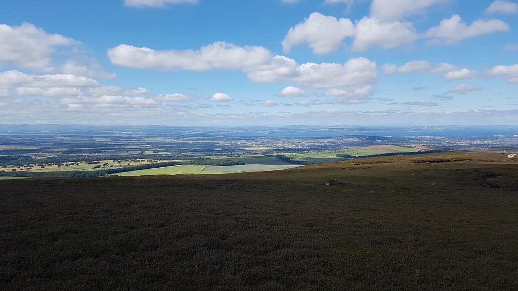
North east is the view that keeps my attention for longest as Meikle Bin and Ben Lomond can now be seen:
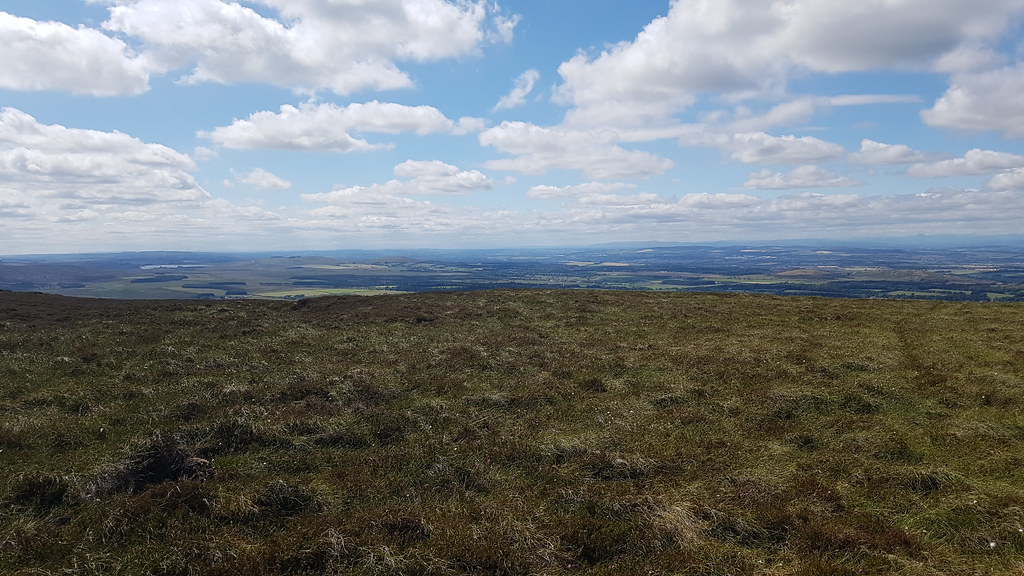 20180708_151401
 by
Chris Mac, on Flickr
North:
 20180708_151410
 by
Chris Mac, on Flickr
 20180708_151814
 by
Chris Mac, on Flickr
Refreshed and recharged I set off again back down the way I came. I did briefly try a direct route but with trail shoes on instead of boots I found the going very tough off the path, lots of deep holes hidden in the heather so be weary if going off-piste on Black Hill:
 20180708_151824
 by
Chris Mac, on Flickr
Edinburgh down below:
 20180708_152029
 by
Chris Mac, on Flickr
Glencorse Reservoir again:
 20180708_152616
 by
Chris Mac, on Flickr
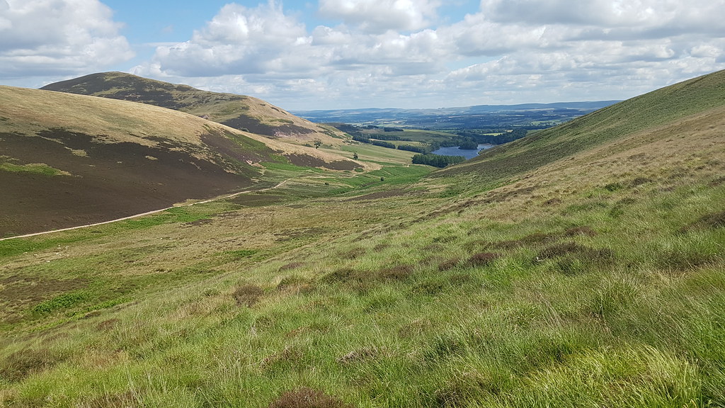
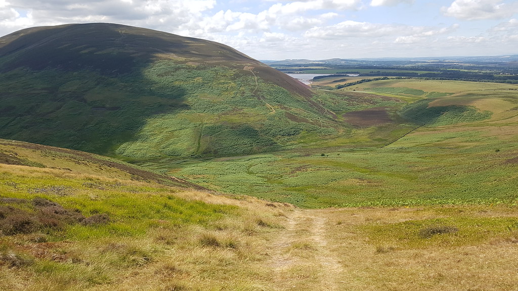
Almost back down off Black Hill, the view east shows the hills already walked:
 20180708_152619
 by
Chris Mac, on Flickr
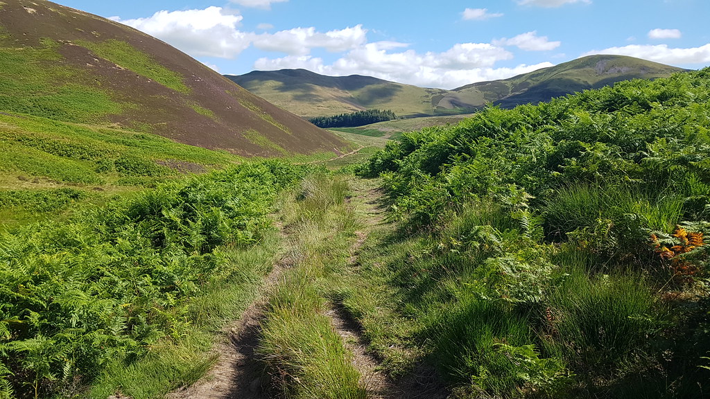
Back down at Glens Cleugh, looking right:
 20180708_153738
 by
Chris Mac, on Flickr
I turn left and head around the hillside, luckily there is a good path:
 20180708_153742
 by
Chris Mac, on Flickr
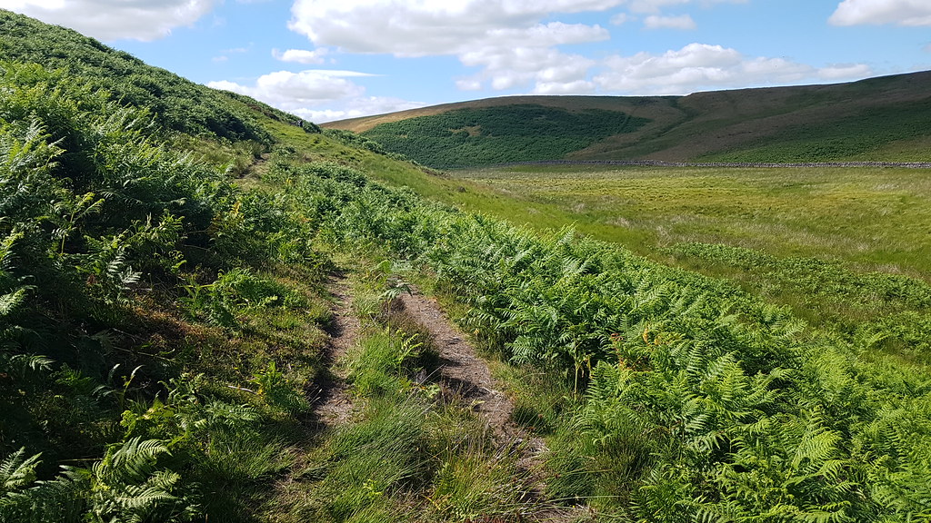
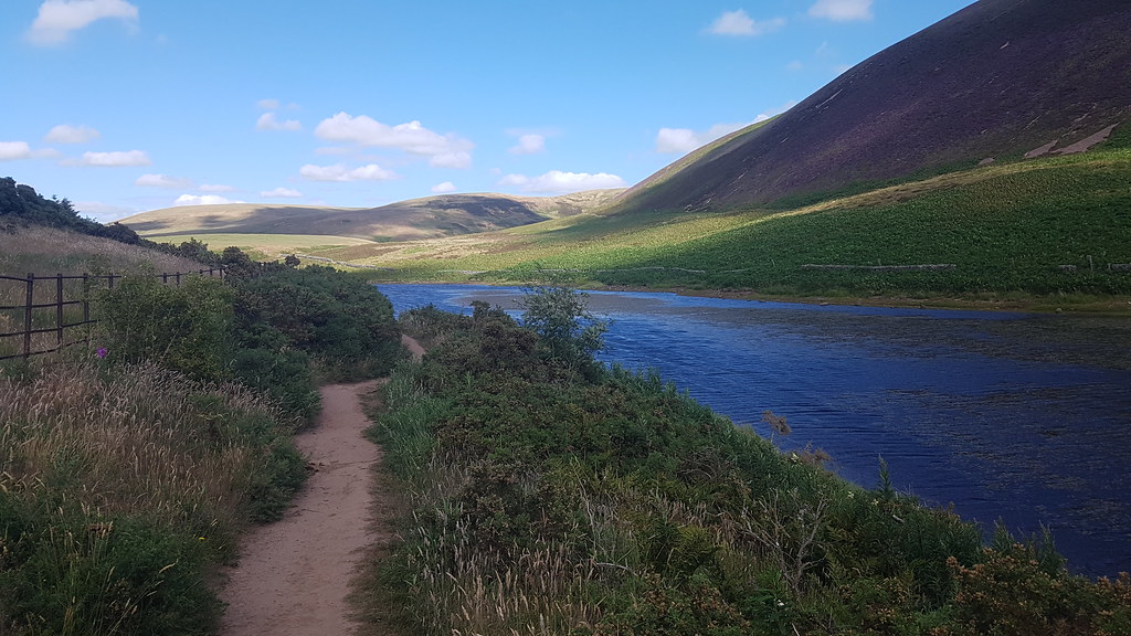
It soon leads me round to Threipmuir where i'll cross it and turn right:
 20180708_154545_001
 by
Chris Mac, on Flickr
The route ahead from left to right, across the reservoir, right again then uphill through the path in the trees:
 20180708_154656
 by
Chris Mac, on Flickr
It's a scenic part and I soon see more walkers again:
 20180708_154920
 by
Chris Mac, on Flickr
Cross over, turn right:
 20180708_155019
 by
Chris Mac, on Flickr
Follow the signs to Harlaw Reservoir:
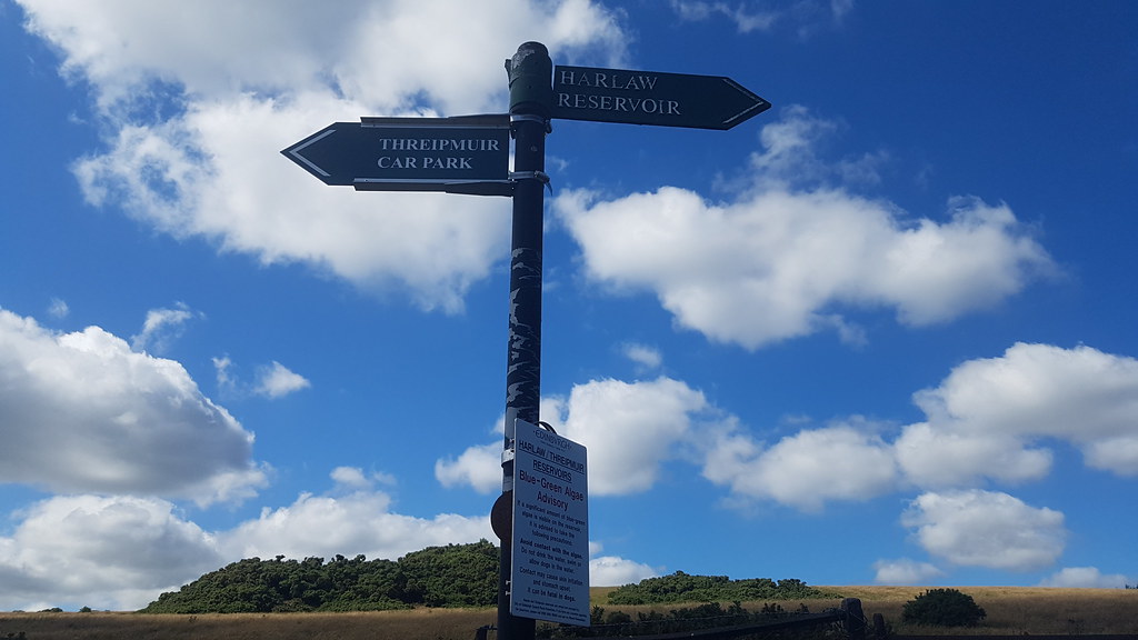 20180708_155310
 by
Chris Mac, on Flickr
Head along the path, turn left...
 20180708_155357
 by
Chris Mac, on Flickr
...onto the path uphill through the trees:
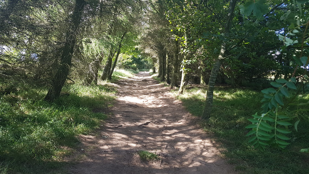 20180708_155655
 by
Chris Mac, on Flickr
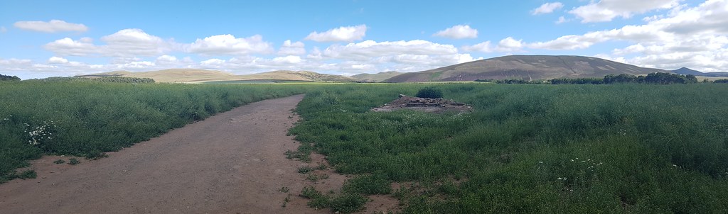
After a few gates I reach the east corner of Harlaw, then head along a track past a tractor and through a large field:
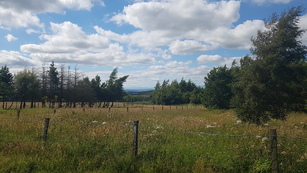 20180708_160103
 by
Chris Mac, on Flickr
 20180708_160547
 by
Chris Mac, on Flickr
 20180708_160713
 by
Chris Mac, on Flickr
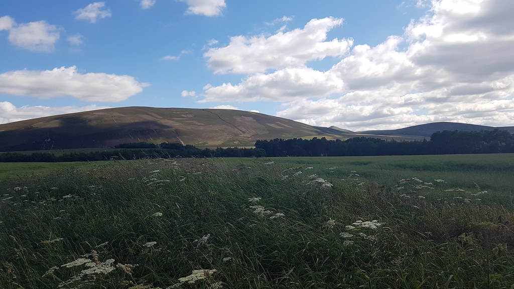
A final look back at the hills climbed today:
 20180708_160812
 by
Chris Mac, on Flickr
The neglected ugly lump of the Pentlands looking decent in this shot but not really one to inspire...

 20180708_161024
 by
Chris Mac, on Flickr
Overtaken by the tractor:
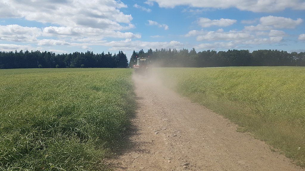 20180708_161137
 by
Chris Mac, on Flickr
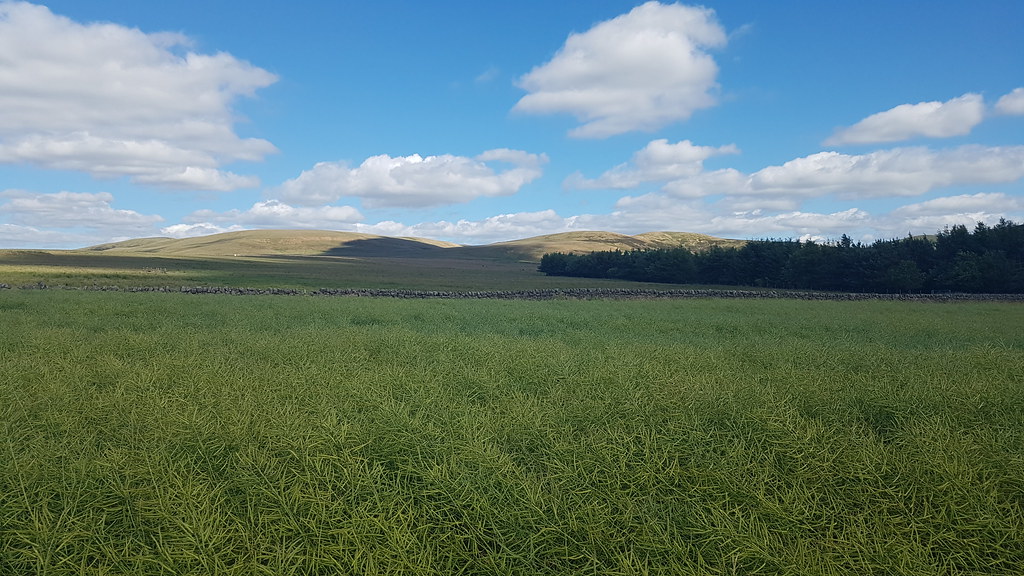
Not a bad route for a Sunday stroll:
 20180708_161550
 by
Chris Mac, on Flickr
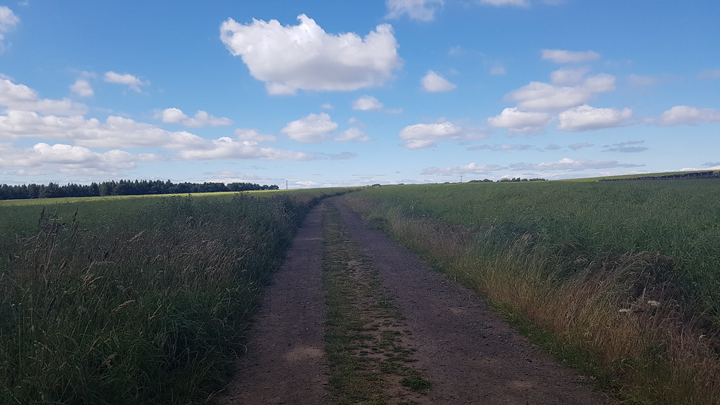
I head past the Harlaw Car Park towards the farm then turn right and start following the roads down to Currie, the view north keeping me entertained:
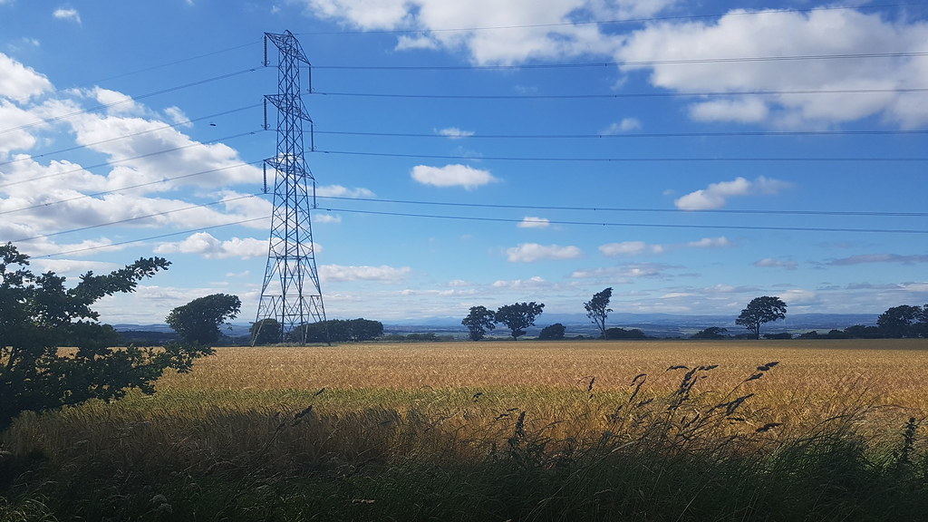 20180708_162041
 by
Chris Mac, on Flickr
Dumyat is framed nicely in front of Stuc a' Chroin on the way:
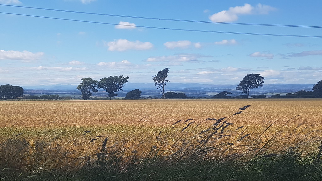 20180708_162048
 by
Chris Mac, on Flickr
Steep road down to Currie:
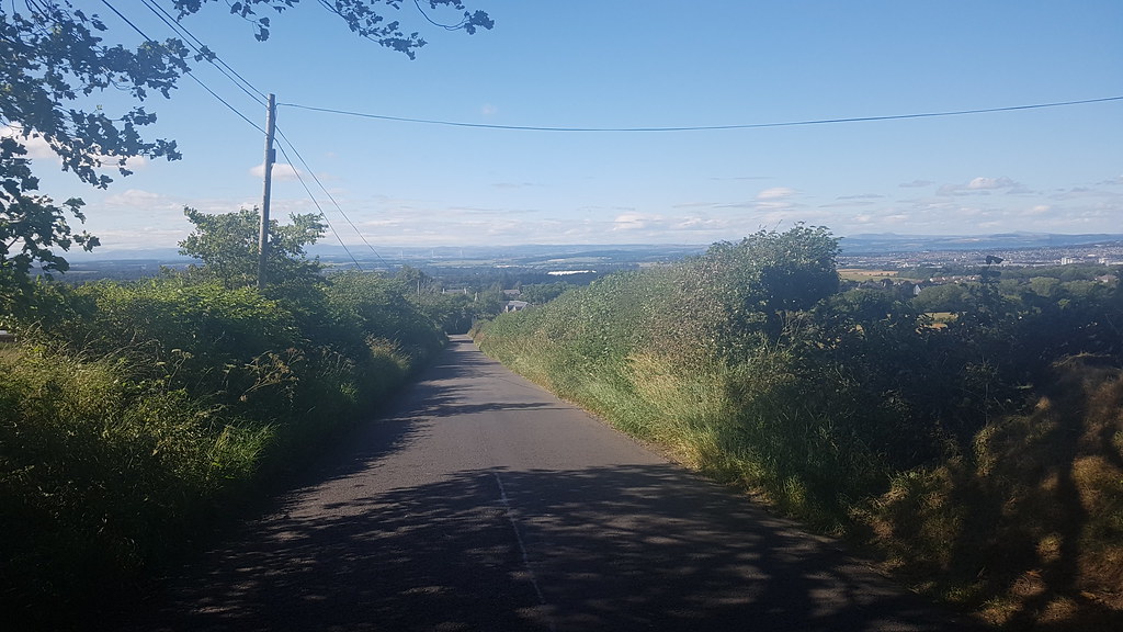 20180708_163936(0)
 by
Chris Mac, on Flickr
On reaching Currie I turned left, headed along the road, turned right and made for Curriehill Train Station.
I reach the station and wait for my train...
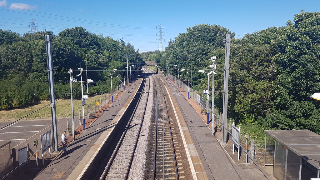 20180708_165831
 by
Chris Mac, on Flickr
While waiting a bus stopped and shouted to the people across the platform that there were no trains to Edinburgh and he'd take them... he never said anything about trains to Glasgow though! Despite checking the trainline that morning and all looking well I grow suspicious when my scheduled train flies past me... a quick check of the Scotrail website tells me there are no trains today due to engineering works, doh!

That will teach me not to go to the source... I change plans and phone a taxi to Livingston, unfortunately having to wait an hour for it to arrive but at least it was sunny. I made it to Livingston with time to get a massive chippy for dinner and eat that before the train came.
On approach to Glasgow I was informed I could get a lift home if I got off at Hight Street as Y was in the area so everything turned out Millhouse in the end.

