free to be able to rate and comment on reports (as well as access 1:25000 mapping).
Sub 2k Marilyns: Mealaisbhal, Cracabhal, Tahabhal, Beinn Dhubh, Roineabhal.
Date: 11 and 12/07/2018.
Distance: 9km + 10km + 4km.
Ascent: 1270m + 600m + 380m.
Time: 5 hours + 5 hours + 1 hour.
Weather: Claggy and warm, but turning clear and sunny on Roineabhal.
Ahh summer. I had a most of a fortnight off work with the WH Skye meet at the far end to look forward to. Seemed like a perfect time to head out to the Western Isles beforehand, something I haven't managed for a couple of years now. With a couple of other commitments first, I ended up with only 2 nights available to spend out there, but that's still better than nothing!
It was most practical to get the ferry from Ullapool, so I had a rough plan of some time around Uig on Lewis before moving onto Harris. The weather was indifferent on the crossing, and by the time I had stopped off in Stornoway for some additional supplies, it was mid-afternoon as I turned off the Carloway road and headed west.
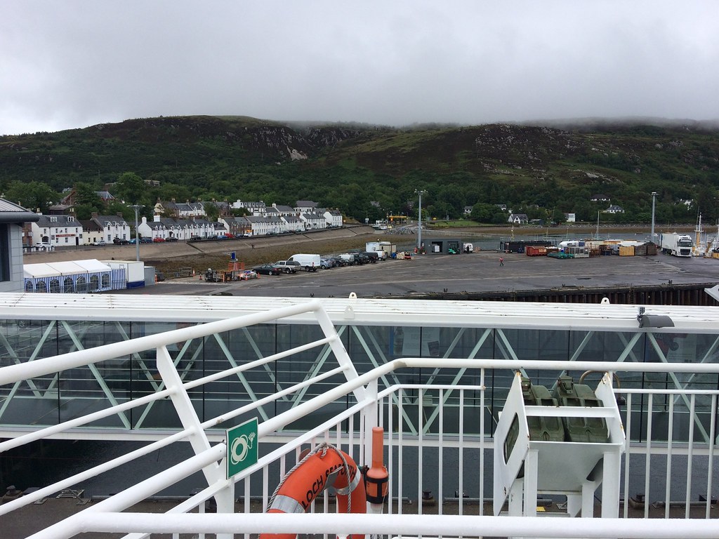 Leaving Ullapool
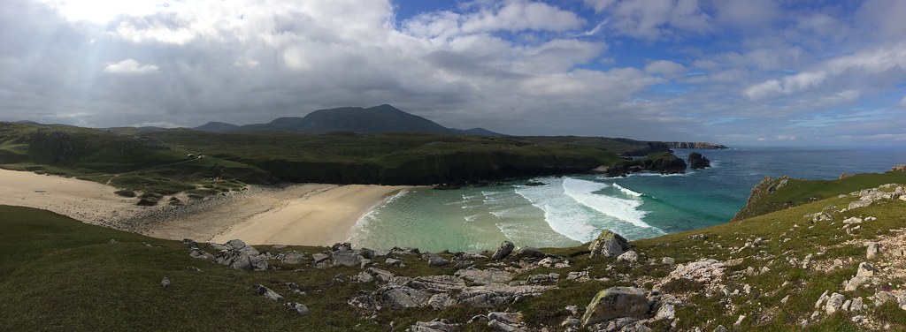
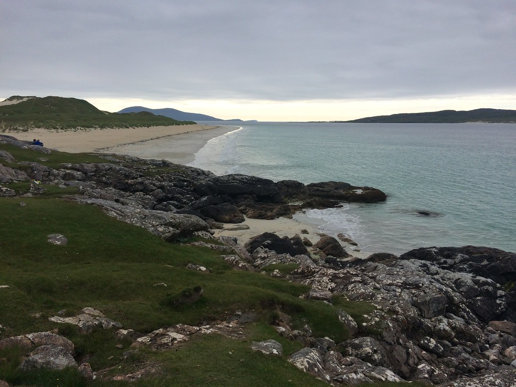
 I didn't really have a strict agenda, so decided to drive around the Bhaltos loop to look at some beaches I hadn't seen before. I hadn't got changed into my walking clothes at this point, but ended up climbing up a small rocky summit adjacent to the beach in my DMs - they are so worn on the soles that it was more like walking on a sheet of ice than grass and I nearly ended up on my arse a number of times

. Still, although the weather was still overcast, it was a good deal nicer than the ferry over, and as expected, the beach was stunning.
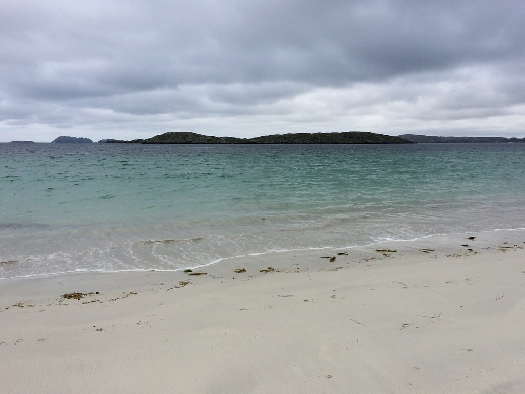 Beach at Bhaltos
 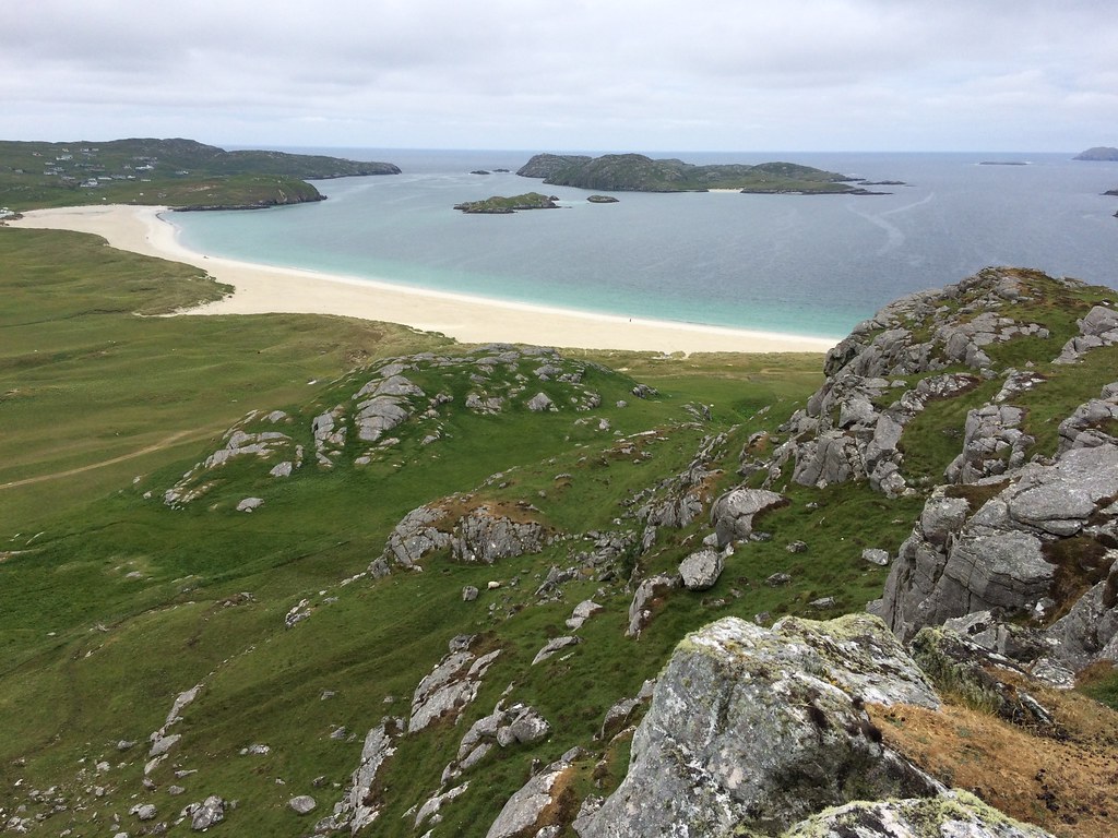 Bhaltos
 I wasn't sure what to do next - the high West Lewis summits or Suaineabhal? Both appealing but the former a more substantial walk. In the end, after driving to the foot of Suaineabhal, I decided the cloud was probably still lifting and continued to the Tamnabhaigh track for the high hills - Mealaisbhal and Cracabhal (with the option of adding Tathabhal).
 Loch Suaineabhal
 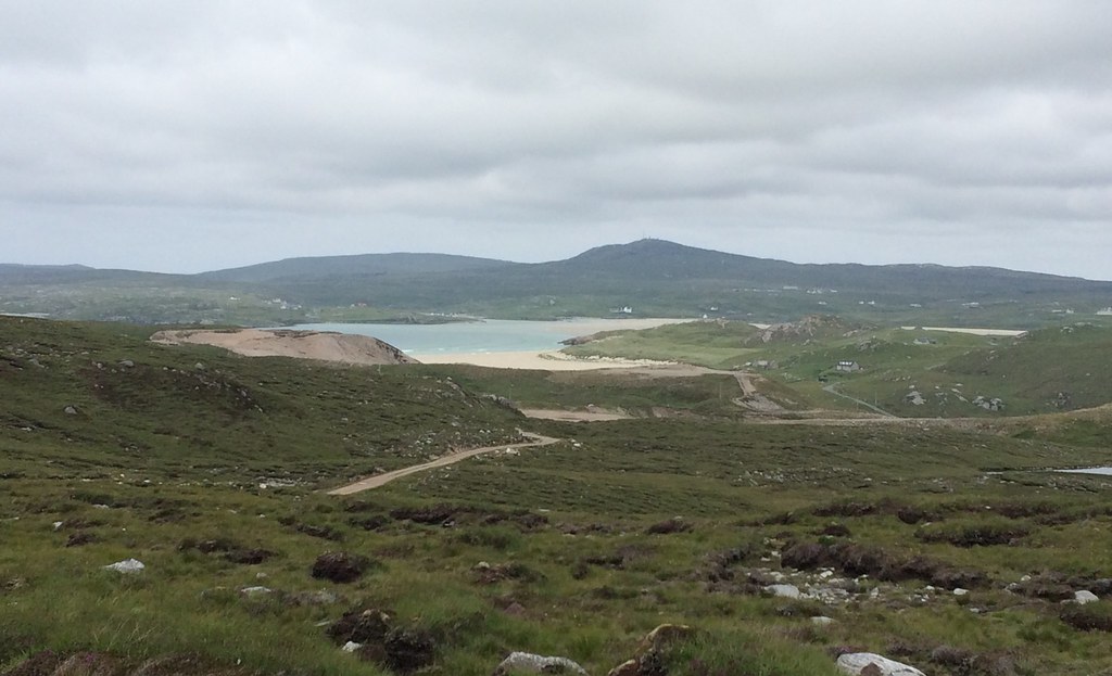 Uig Bay
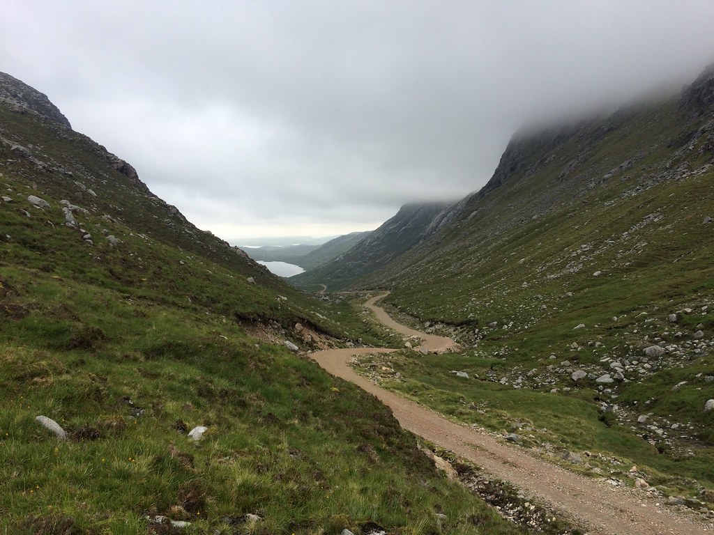
 The hills were in the clag, but not by too much. It was now 4:30pm so I decided to use my bike to speed up the approach a bit. The track is quite undulating but the surface is pretty good, so I reckon this saved me a good hour or so on the walk.
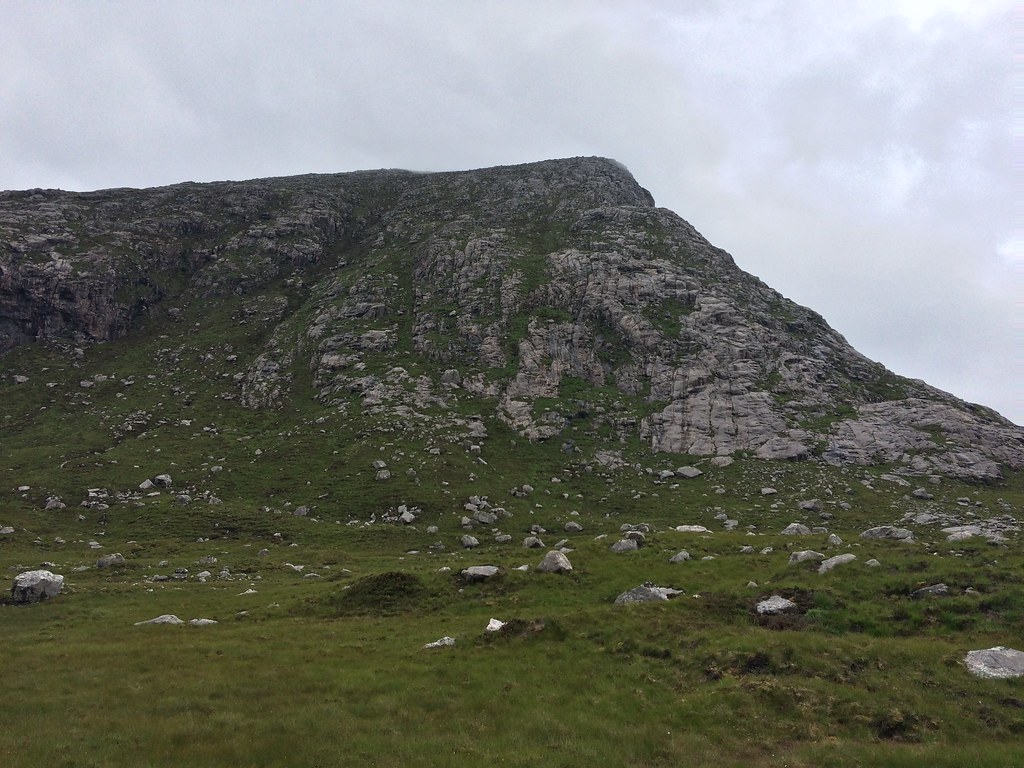
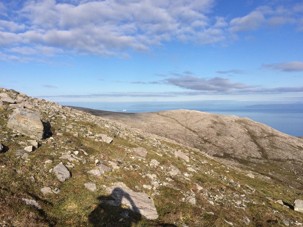
 Mula Mac Sgiathan of Mealaisbhal
 I started walking at the mouth of Loch Raonasgail, from where it is a very short approach across the heather to get onto the rocky slabs which lead the way up. There is no shortage of rock here, which looks impressive as well as providing an easy but fun scramble on the initial ascent.
 Ascending Mealaisbhal
 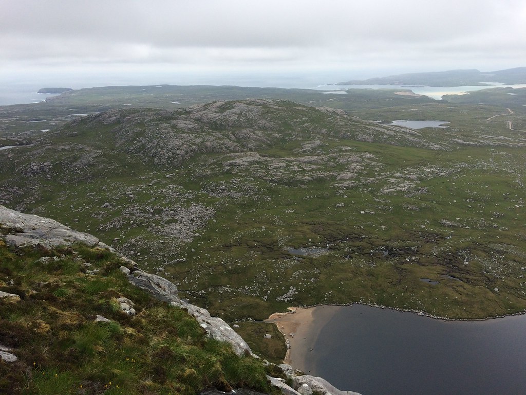 Looking back
 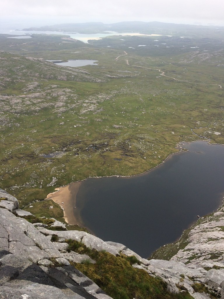 Loch Mor na Clibhe
 Unfortunately I had misjudged the weather and the cloud hadn't lifted from the summit. Shame, as it was lovely and rocky as well as being a good viewpoint I'm sure. However, Beinn Mhor on South Uist aside, this seems to be my fate on the Western Isles every time I venture above 500m

.
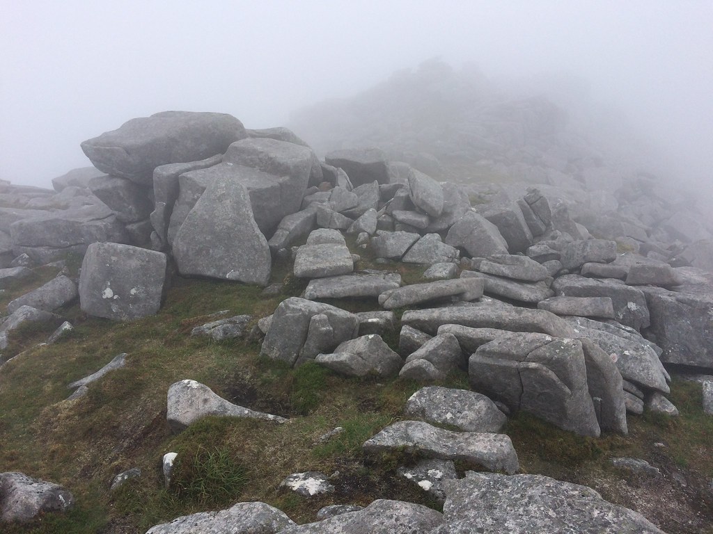 Summit of Mealaisbhal
 There was at least a bit of a clearing between Mealaisbhal and Cracabhal (hardly surprising as you drop down beneath the 300m contour), and Eilean Mhealasta was visible as well as some of the impressive coastline. More pleasant walking and clambering over slabs led me onto Cracabhal.
 Eilean Mhealasta
 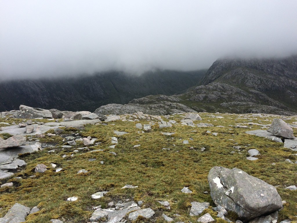 Between Mealaisbhal and Cracabhal
  Onwards to Cracabhal
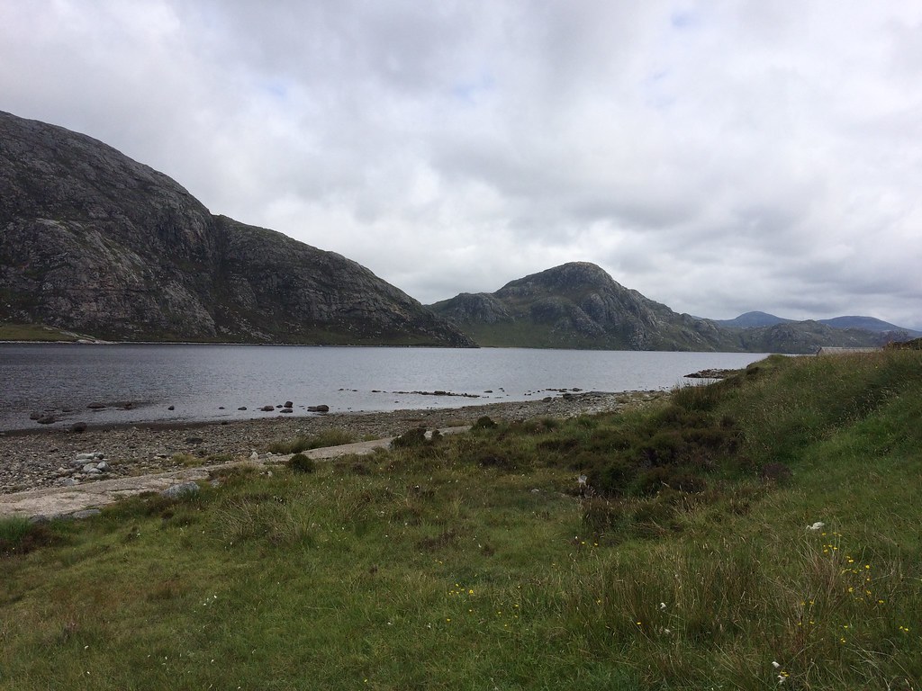
 I dropped down to the Tamnabhaigh track after Cracabhal, from where there were more views. Although it didn't look like clearing, I decided I may as well carry on over Teinneasabhal and Tathabhal as it wouldn't take me much longer anyway.
 Gleann Raonasgail
 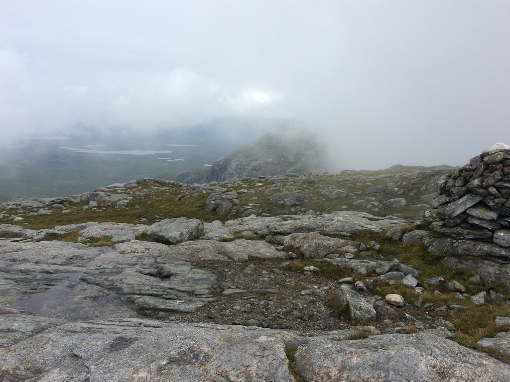 Views to the east over Morsgail briefly open up
 Teinneasabhal took slightly longer than intended to get up, then there was a steep rocky descent before Tathabhal. The cloud remained largely down but I did get some brief views to the vast expanse of the Morsgail to the east. Despite the clag frustrations, the rock scenery made the route enjoyable. Another steep, rocky descent led me back out of the clag and towards Loch Raonasgail, where a line of colour indicated nicer weather far to the west.
 Descending back towards Mealaisbhal
  Mealaisbhal
 Then back to the bike and car. I had hoped to stay in the Eagle's Nest bothy this evening but it was now 9:30 and I only had a rough idea where it was, so opted for camping instead. Great choice as I found a perfect spot on the cliffs above Traigh Mangersta, where I was able to sit out until well after 11pm looking at maps without a torch (but with a couple of beers)

.
 Coast at Mangersta
 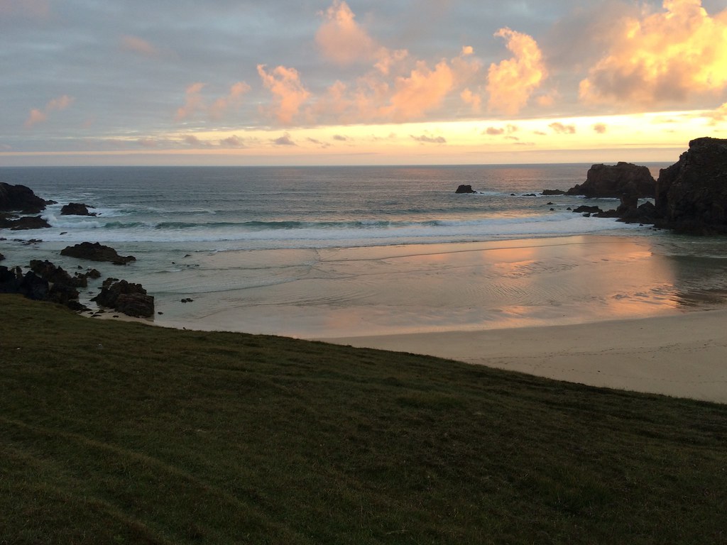 Traigh Mangersta
 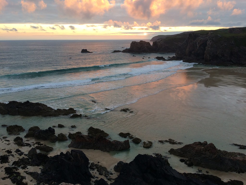 Traigh Mangersta
 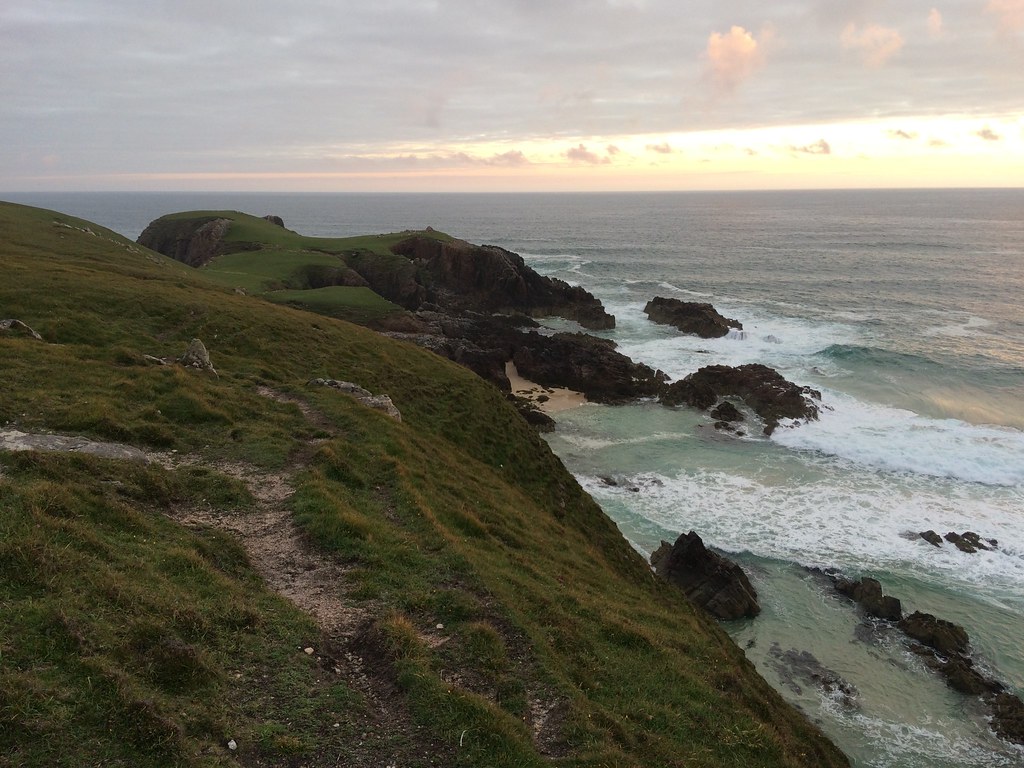 Headland west of Traigh Mangersta
 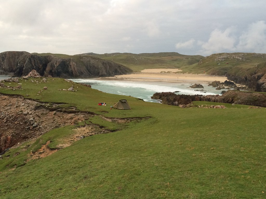 The perfect camping spot
 ______________________________________________
The nexd day dawned pretty nicely so I took a wander north of the bay to find the bothy. It was pretty much where I expected it to be, and in a stunning setting built into the cliff-face. Very small though - more than 3 would be a squeeze.
 Mealaisbhal and Traigh Mangersta
 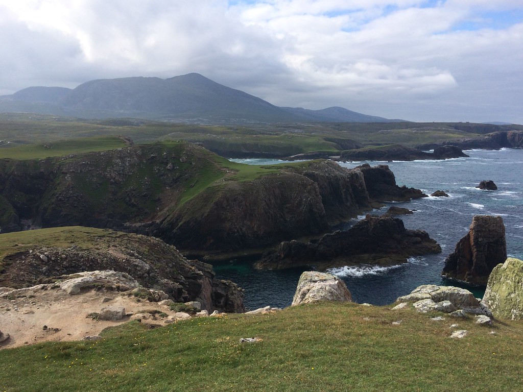 Mealaisbhal
 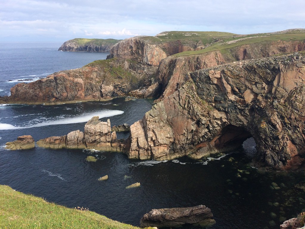 Crags north of Traigh Mangersta
 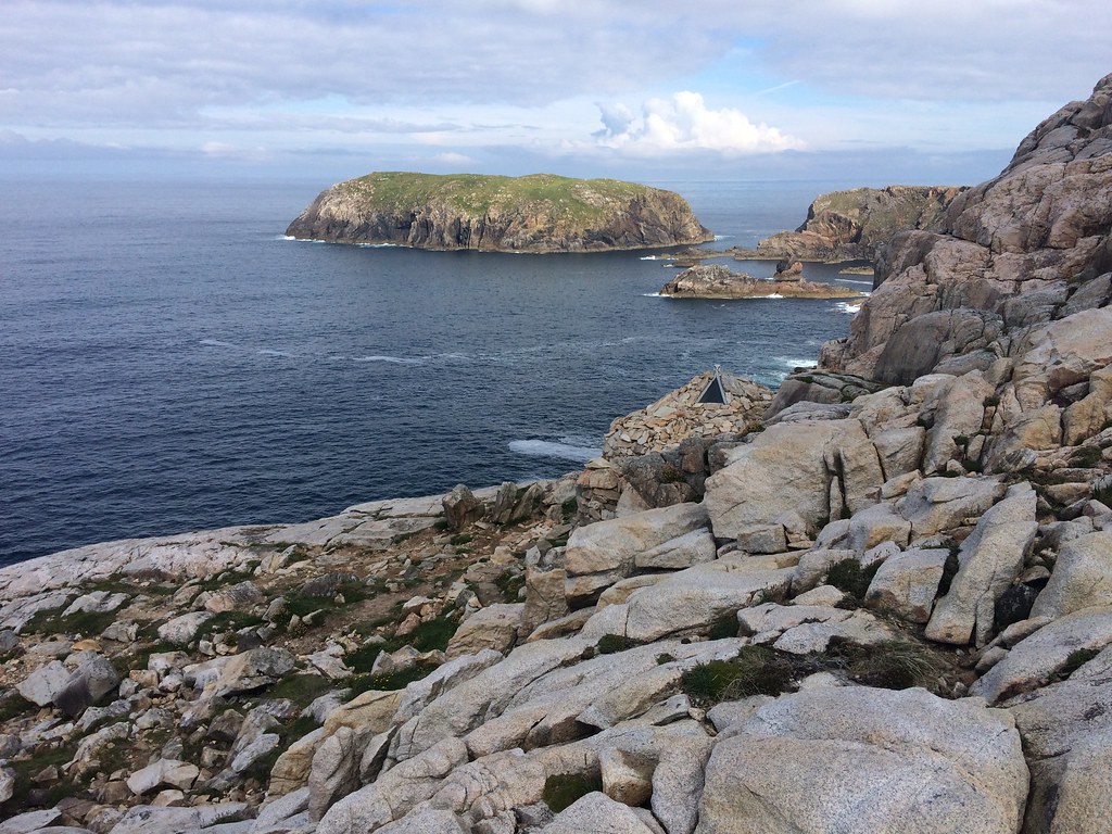 Eilean Mholach
 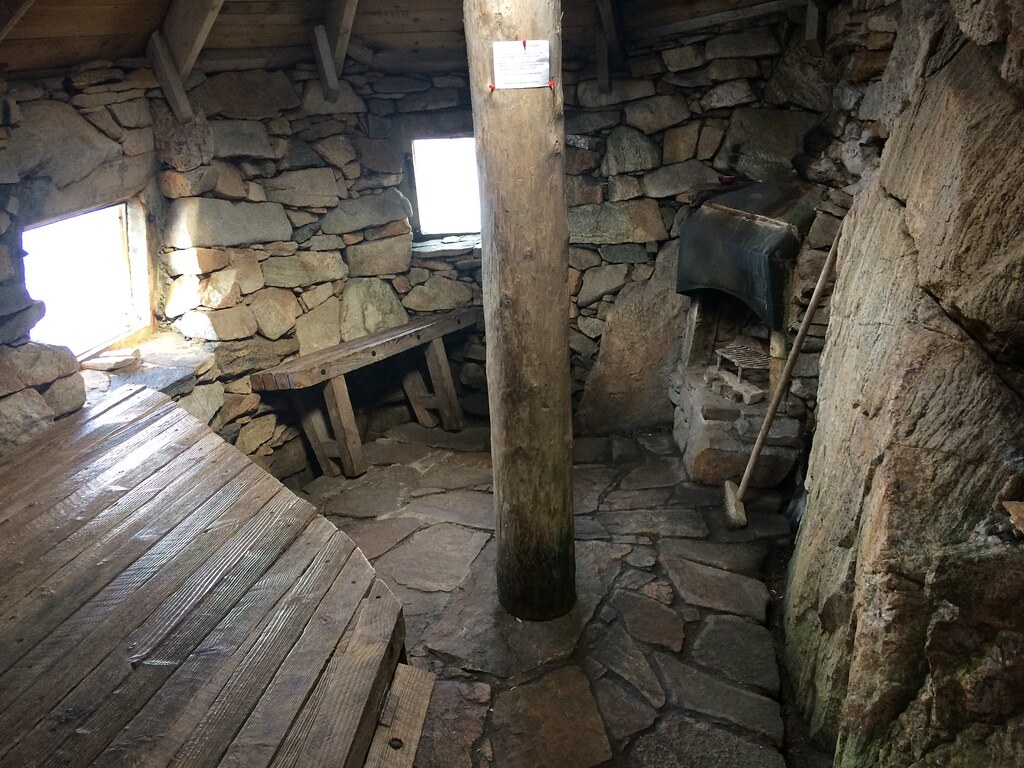 Eagle's Nest bothy
 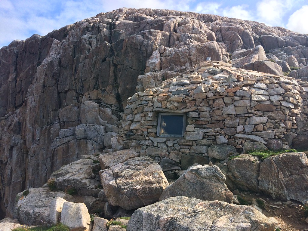 The bothy from the outside
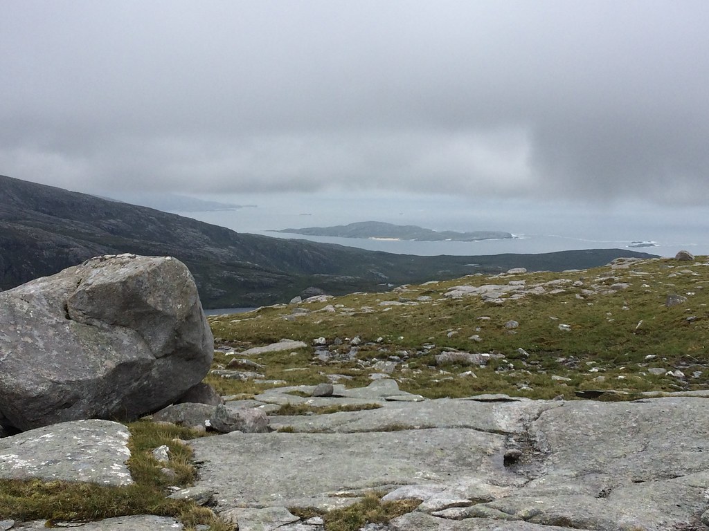
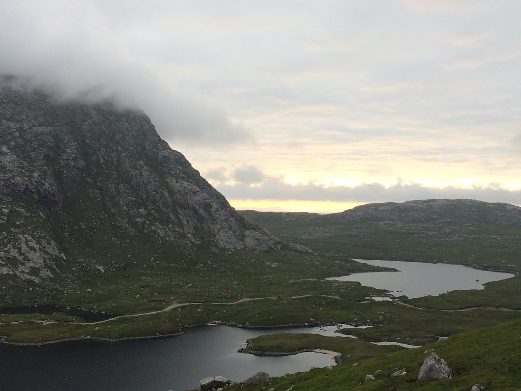
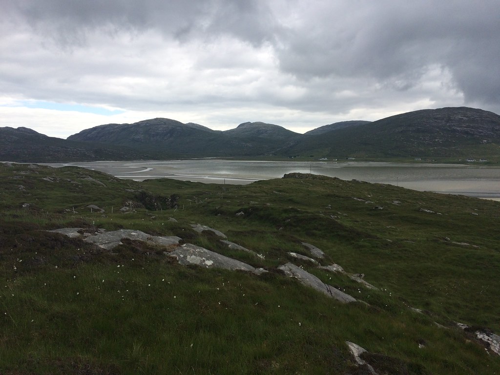
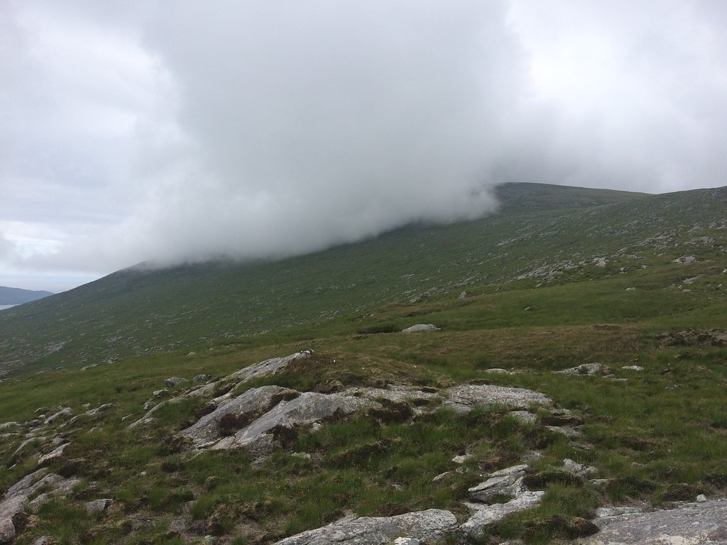
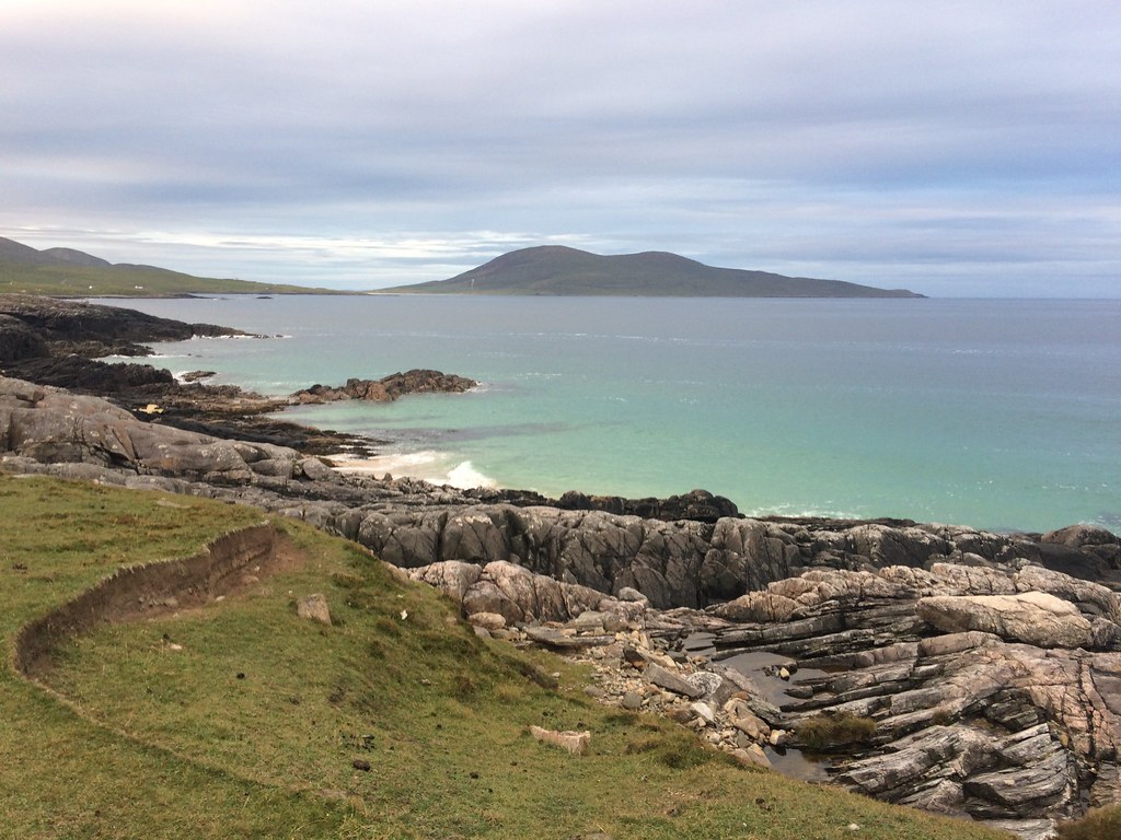
 As things were looking good down the west coast, I decided to head further south, and take the long detour round to South Harris. Beinn Dubh was at the top of my list for this part of the islands - looked like a perfect spot for views of the big North Harris hills and the beaches of South Harris. West was definitely sunnier than east on the drive around, but as I put my boots on, the cloud rolled in on Beinn Dubh. Typical! Still, no reason not to go up as it would probably clear again.
 Across Luskentyre to an Coileach
 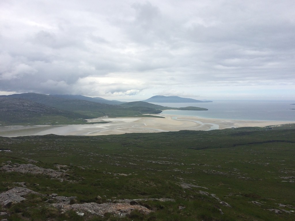 Traigh Sheileboist and Ceaphabal
 The going was a little heathery lower down but straightforward enough. I passed a family sitting at the cairn of Beinn Luskentyre, who were probably doing much what I did a couple of minutes later....sitting waiting for the summit to clear again. After a longish break, I decided to go for it and was rewarded with a semi-clear view - even this was worth it so I wasn't disappointed.
 Cloud has moved in on Beinn Dubh - best to wait until it clears
 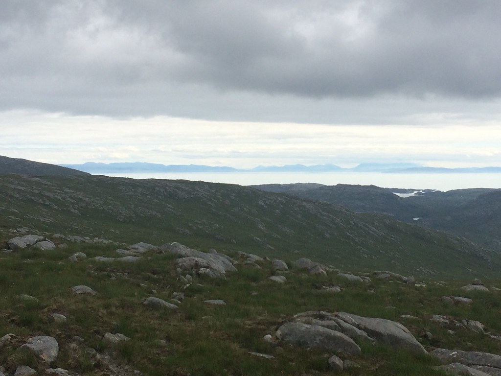 Black Cuillin on Skye from Beinn Dubh
 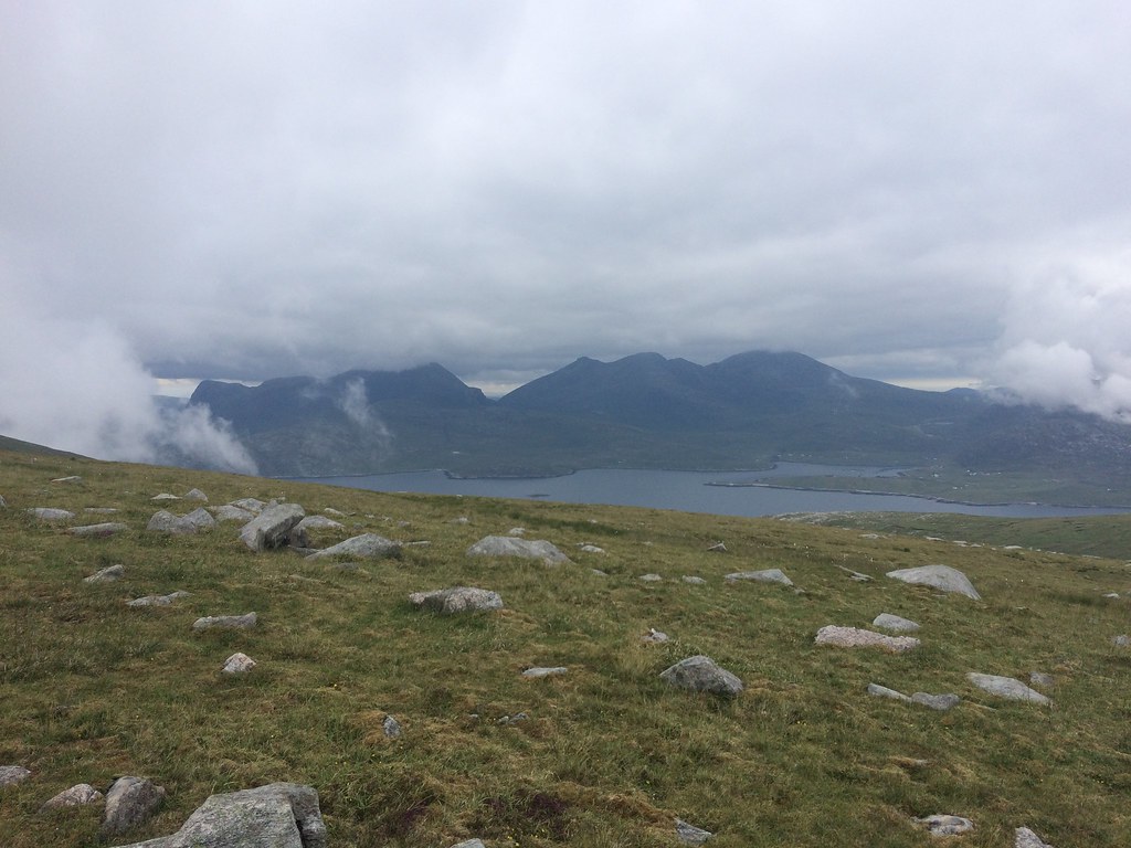 North Harris hills from Beinn Dubh
 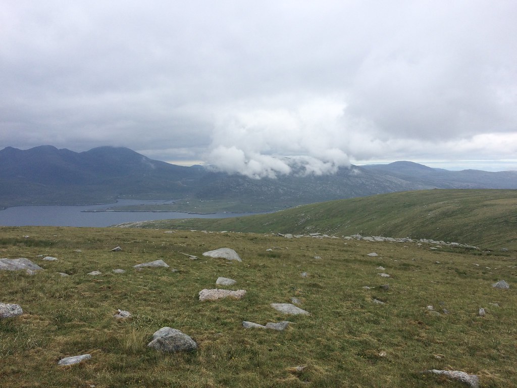 Towards Tarbert
 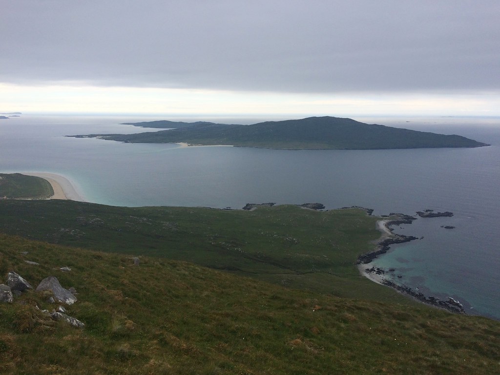 Taransay
 The views got even better as I dropped westwards along the summit ridge, then more steeply down to the coast. It got a little heathery again lower down, but the coast itself was easy enough walking; I had dropped down a bit further round from the beach so it was also very secluded.
 North Harris hills above Huisinis
 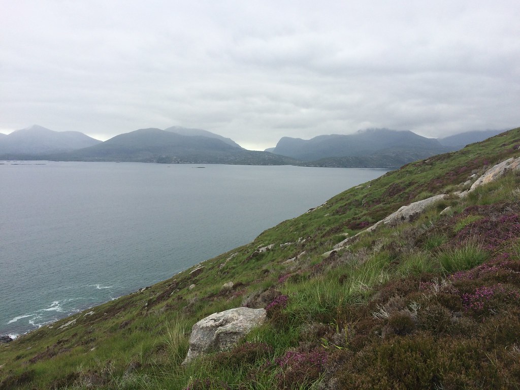 Sron Scourst prominent
 I worked my way round to the beach then took my boots off so I could walk along the edge of the water. It was a bit too chilly to persuade me in any further, but this was a great way to finish off the walk. At one point I diverted up into the sand dunes for a little bit of elevation, then eventually back onto the road to the car. While not quite the stunning set of photos I had hoped to get, this was definitely a top walk - one I managed to draw out to almost twice as long as it should have taken.
 Traigh Rosamol
 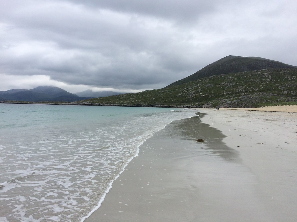 Back to Beinn Dubh
 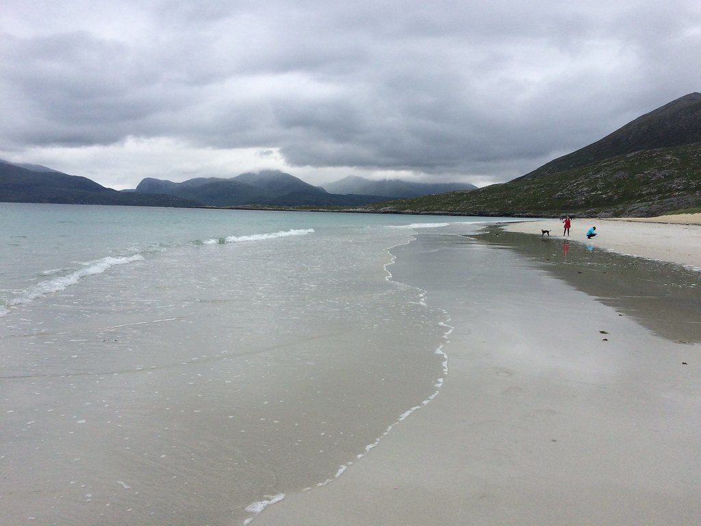 Traigh Rosamol and Uisgneabhal Mor
 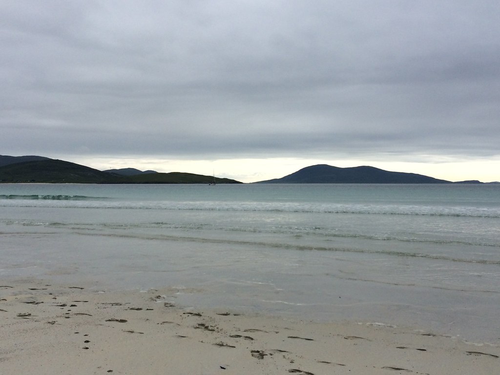 Rosamol and Ceapabhal
 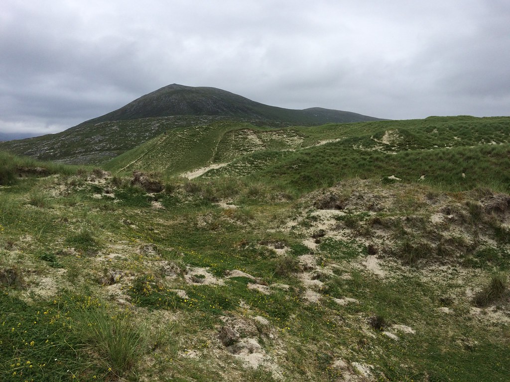 Dunes and Beinn Dubh
 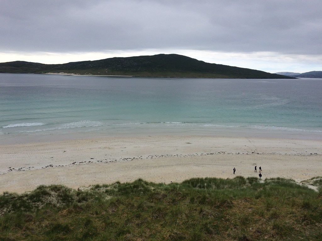 Across to Taransay
 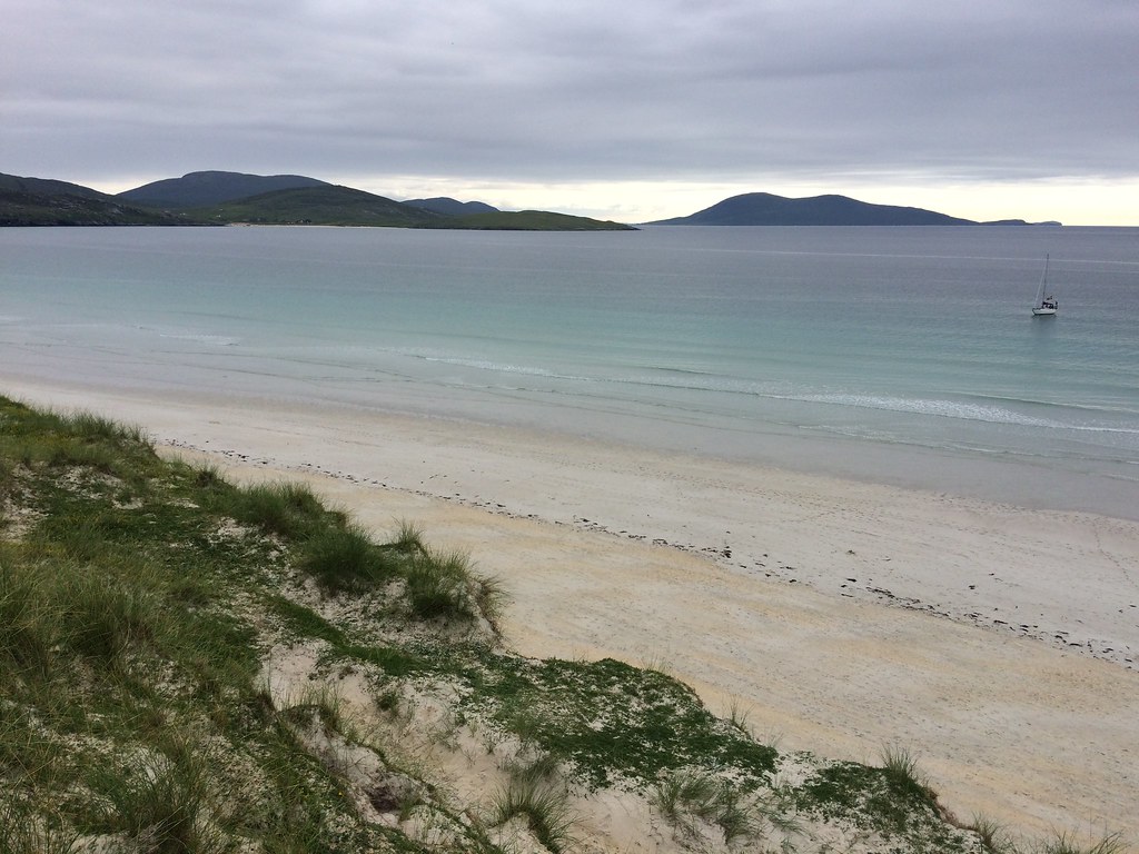 South from Luskentyre
 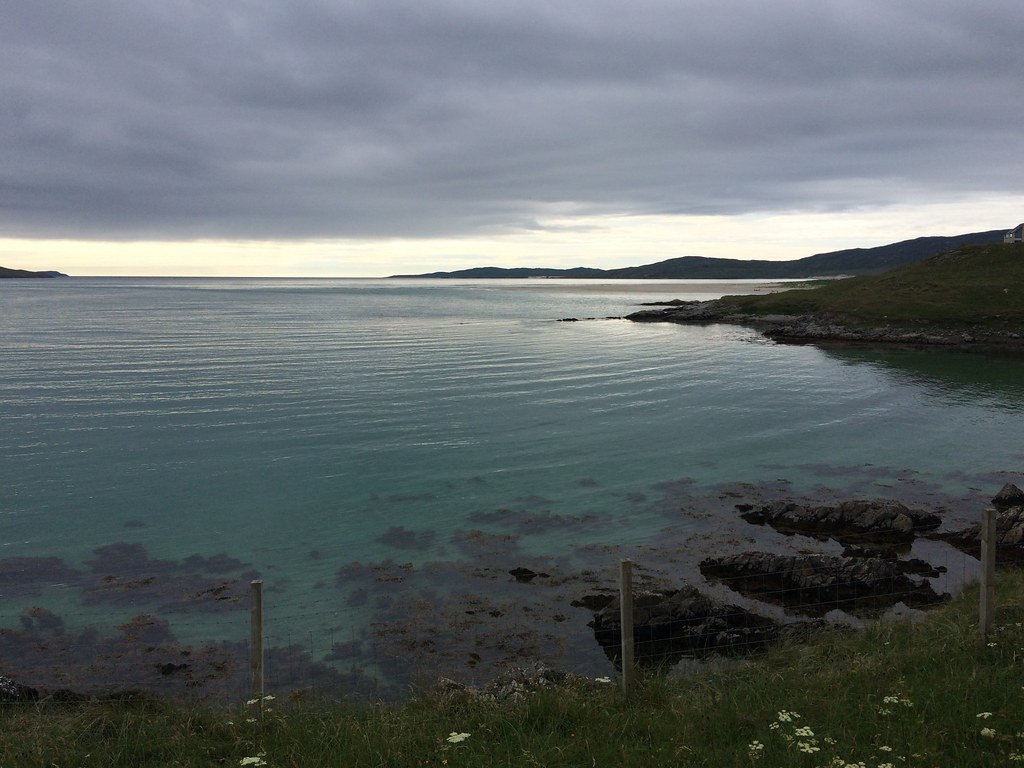 Out West. St. Kilda was visible but couldn't pick it up on the camera
 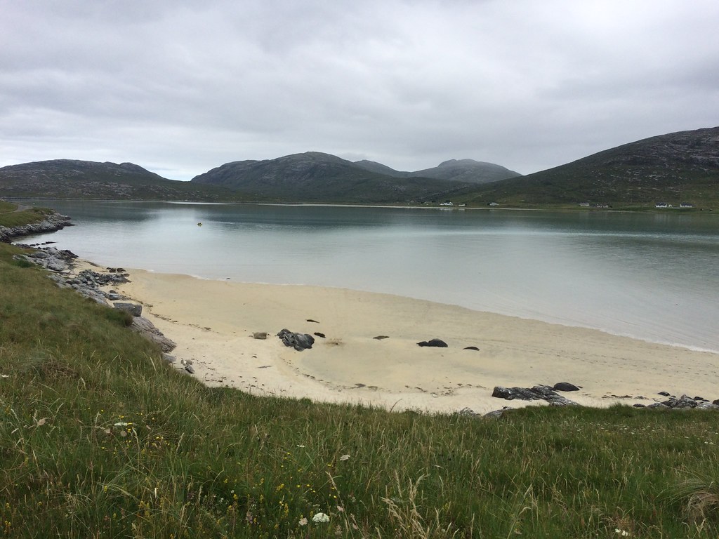 Luskentyre
 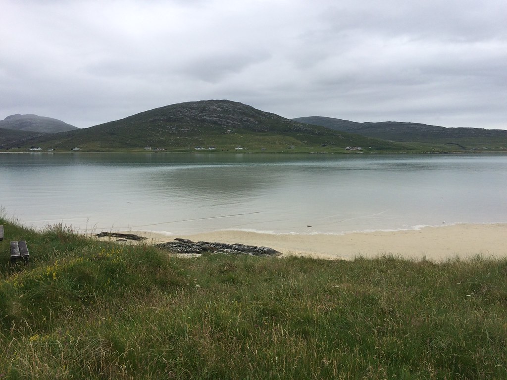 Sheilboist from Rosamul
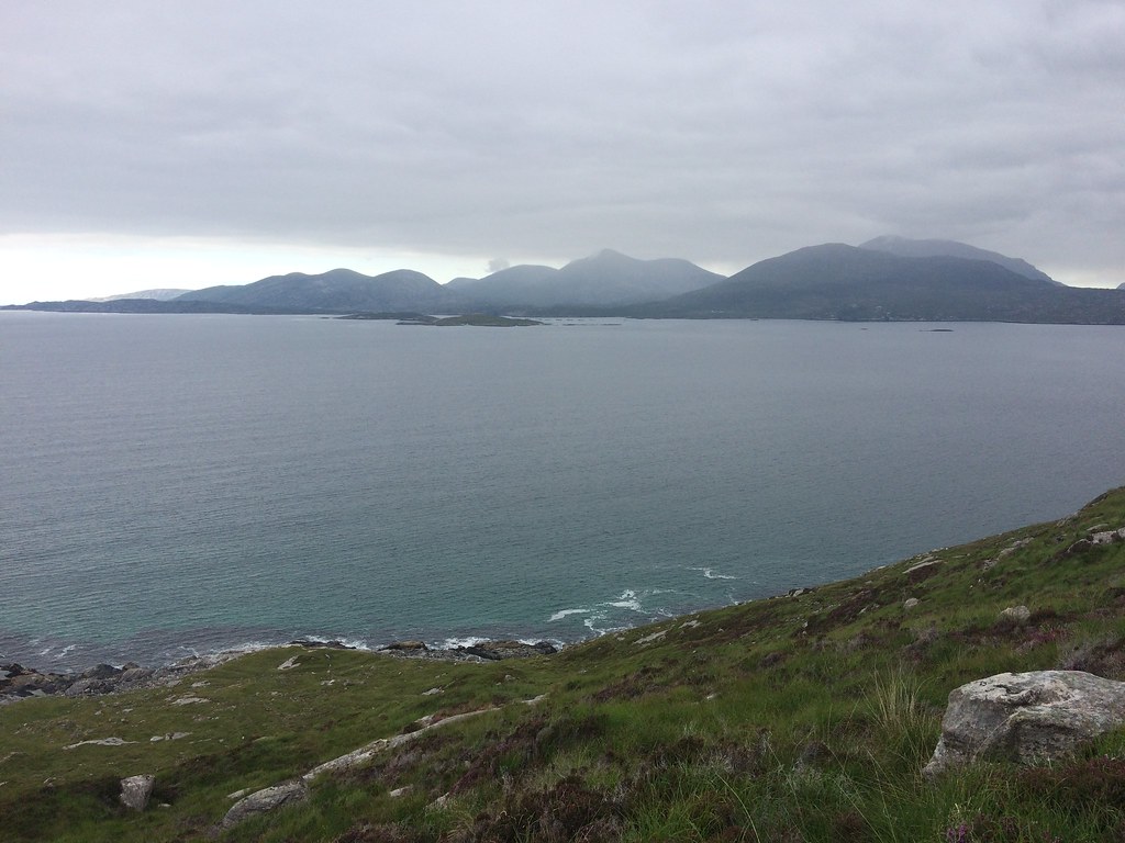
 Midges were lurking so I decided to drive south. Although there were a few spits of rain, the evening was improving as I reached Leverburgh, where I decided to stop off for a chippy.
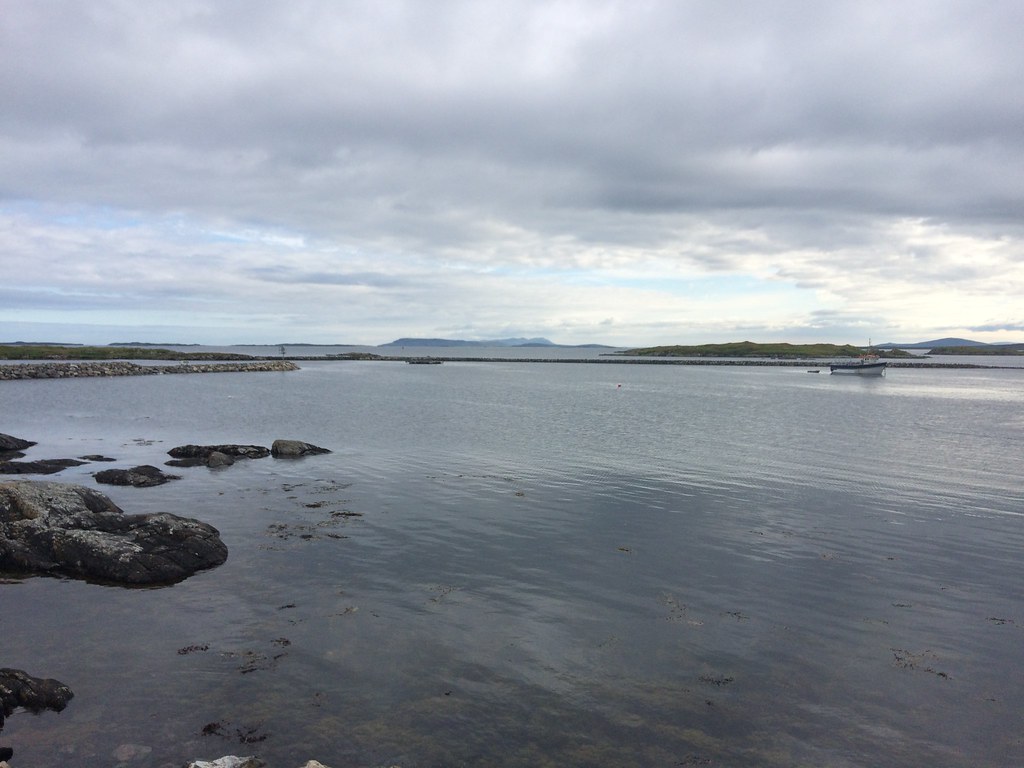 Skye from Leverburgh
 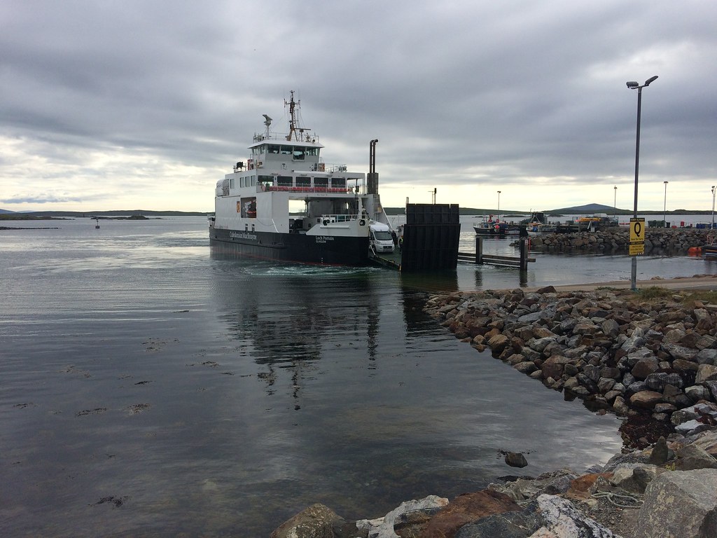 Sound of Harris ferry
 I had been thinking about spending a leisurely evening camped on the coast somewhere, but by the time the chippy was done, I had decided to make the most of the evening by going up Roineabhal. I parked at the high point on the road over to Rodel and went straight up the side. A little heathery in places and steep higher up, but a straightforward ascent. As I got higher, it became more and more obvious that this had been a great idea
.
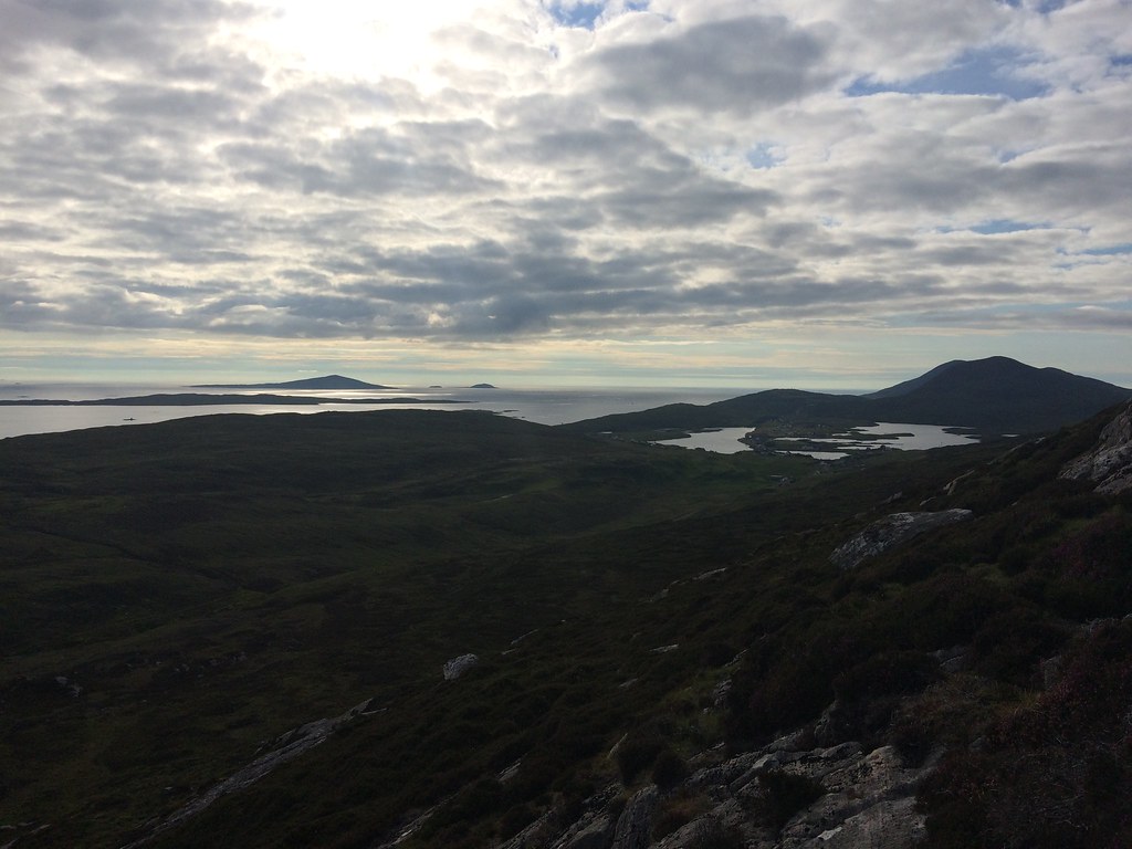 Leverburgh and Pabbay from Roineabhal
 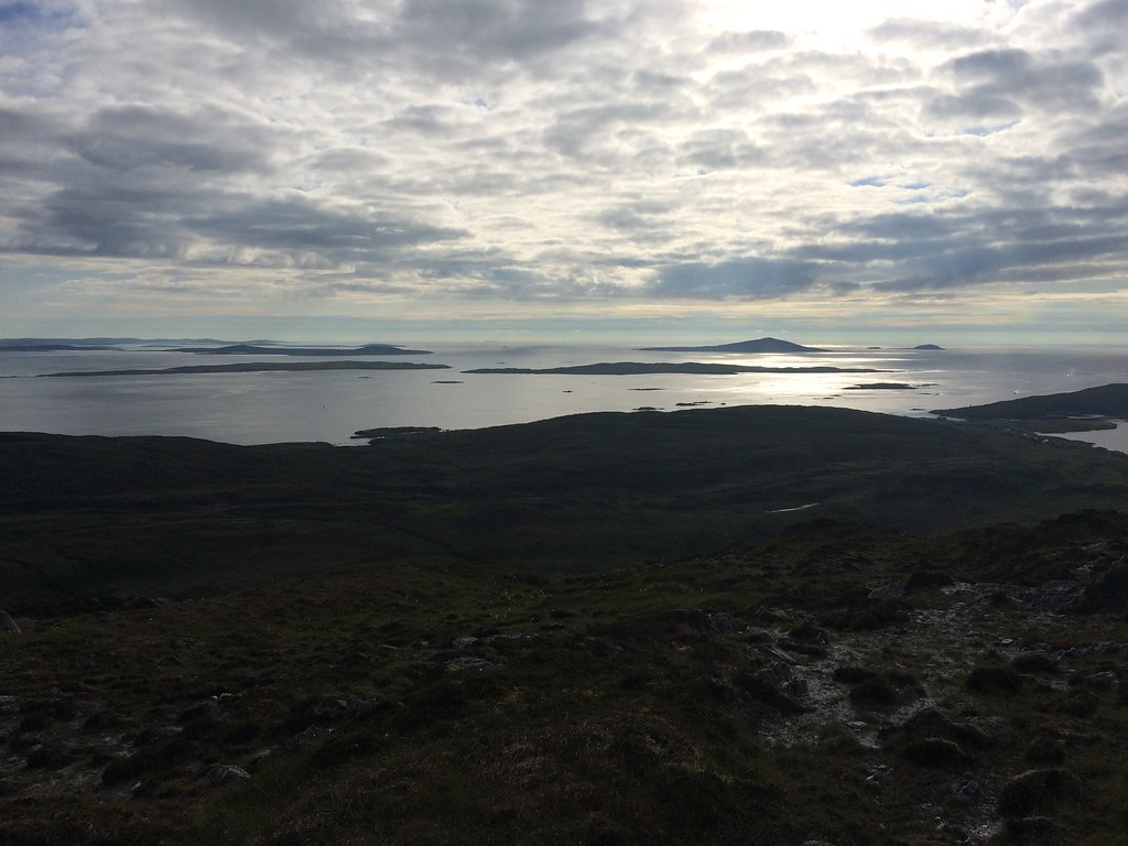 Pabbay
 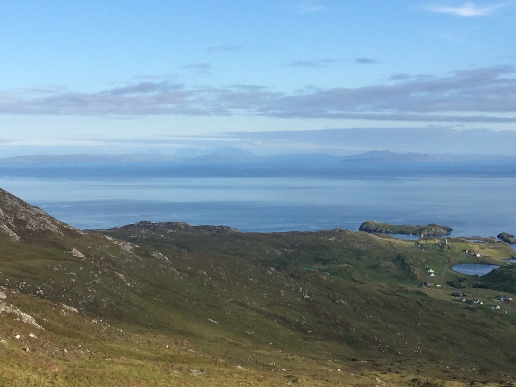 East to Skye
 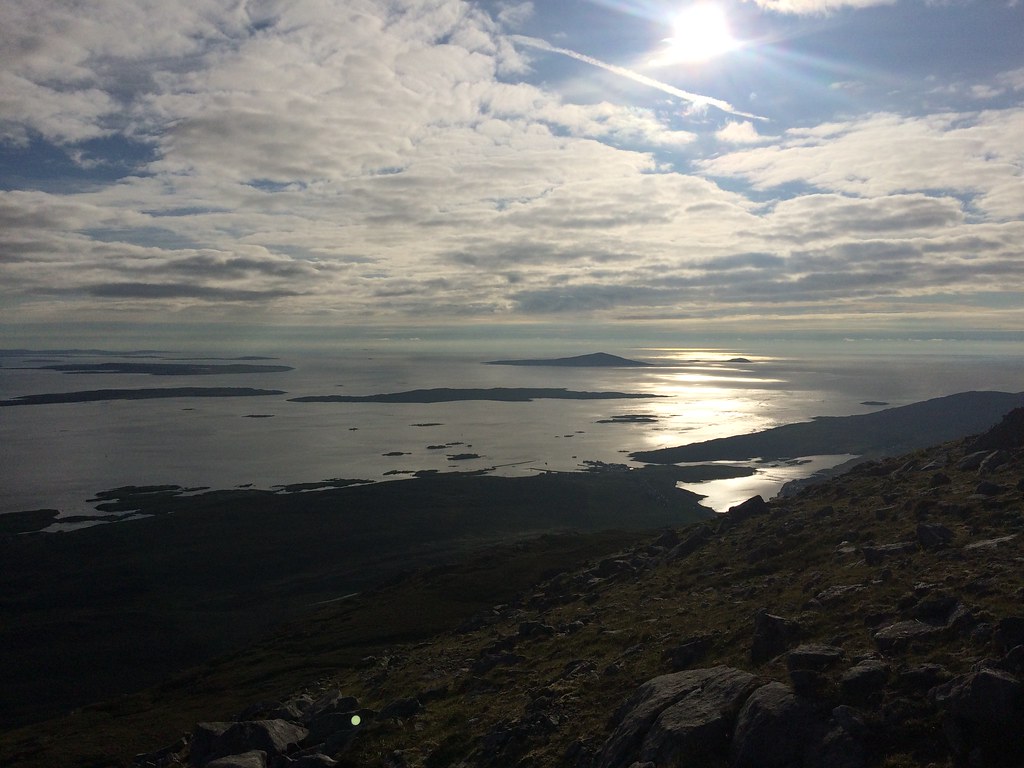 Pabbay
 Just brilliant. This is what I had wanted on Beinn Dubh, but as ever on the islands, almost any hill is a worthwhile viewpoint. I hung about for a bit then descended via the eastern summit for a view into Coire Roineabhal.
 Nearing the summit of Roineabhal. Cruise liner in the Minch behind
 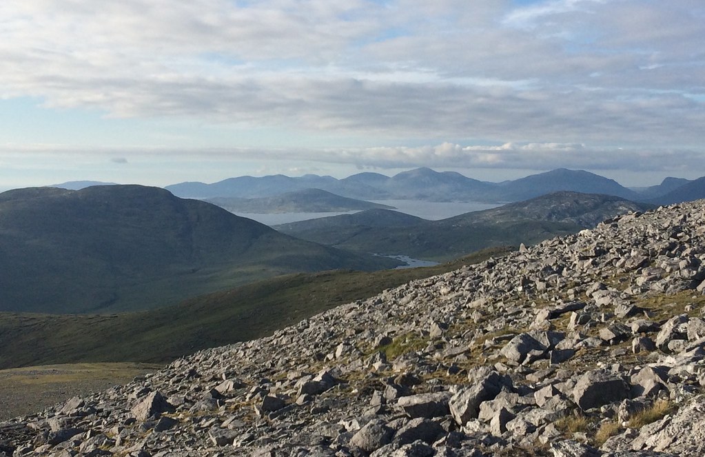 Taransay and North Harris hills from Roineabhal
  The Minch
  East coast of South Harris - rough!
  Across South Harris
 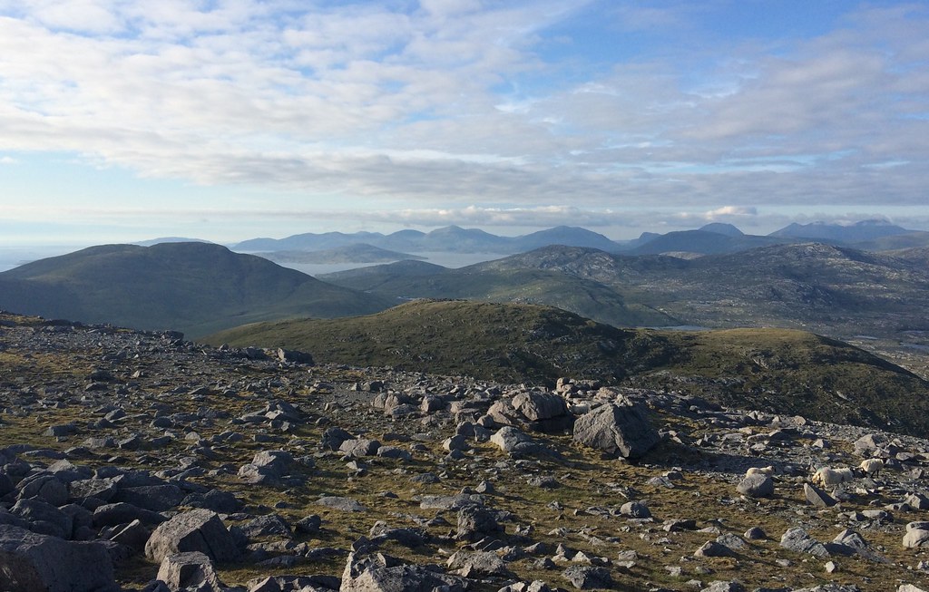 North to North Harris
 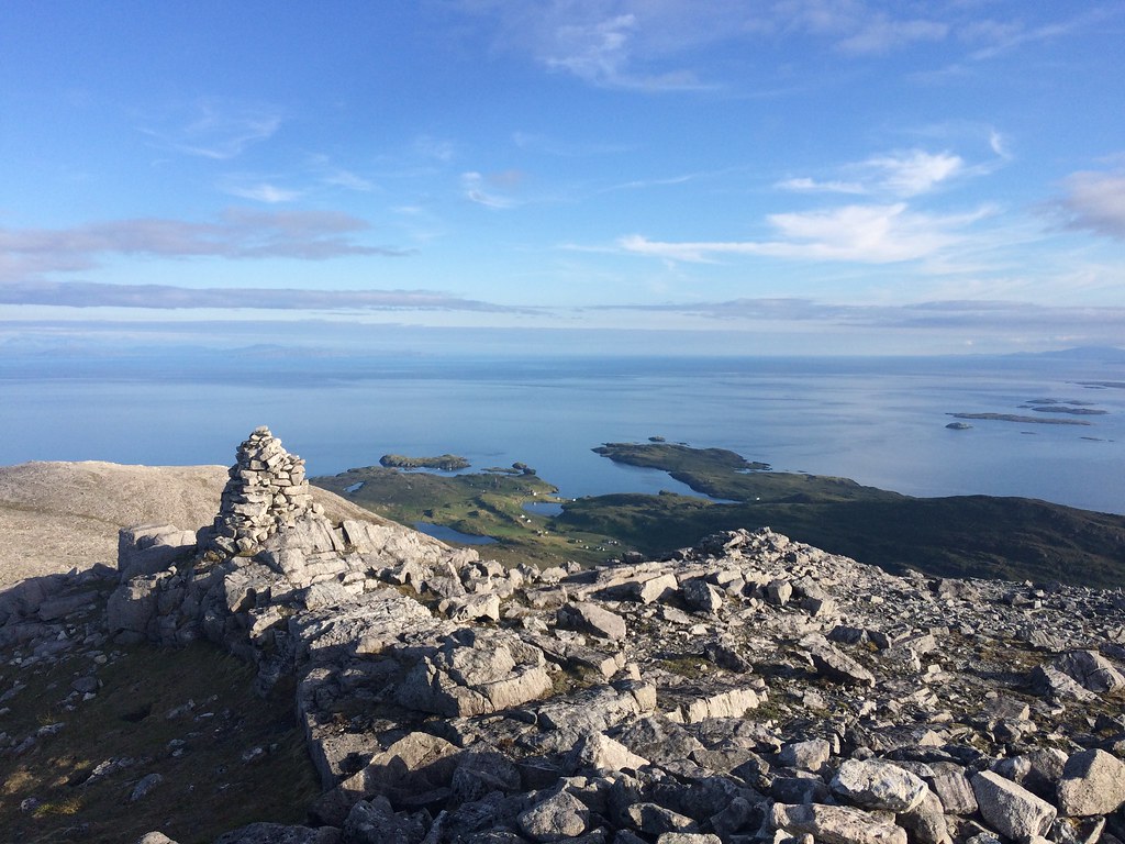 Across Rodel towards the mainland
 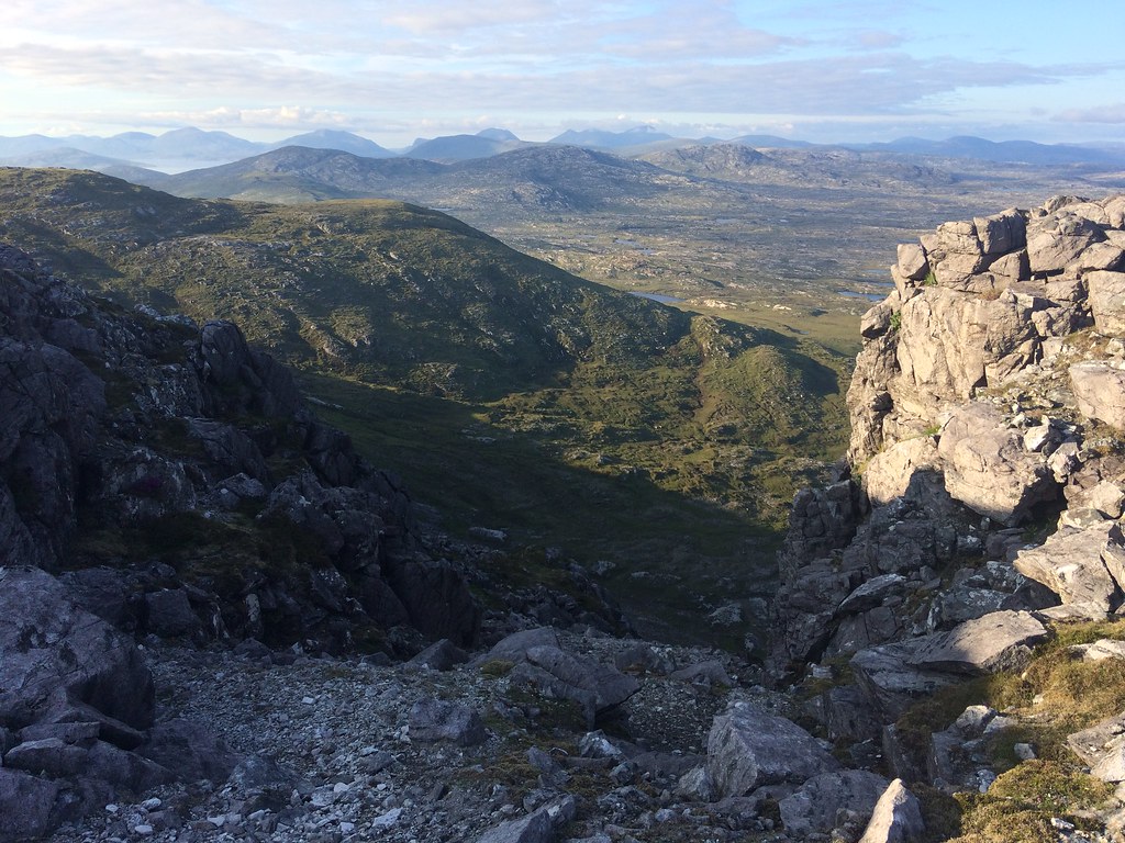 Coire Roineabhal
 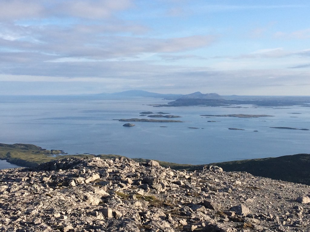 North and South Uist hills
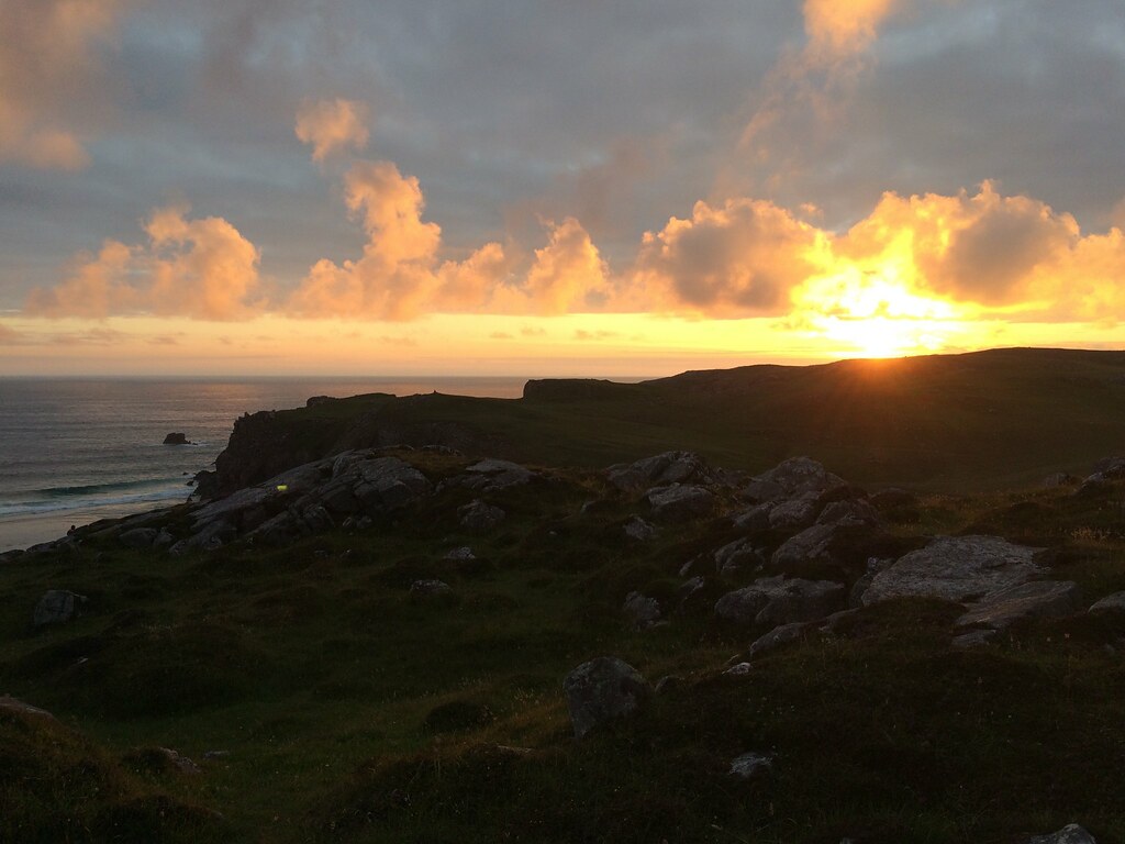
 All this almost convinced me to take a quick wander up Ceapabhal on the way past. I even drove down the road past Northton, but then changed my mind - I couldn't be bothered! Instead, time to camp. I had noticed a lazy spot just south of Horgabost which would allow me to park within 30m of a pitch and enjoy great views out to sea. This suited me well as I had been unable to get booked onto the afternoon ferry from Tarbert to Uig, so would have to leave Harris early the next morning
. A great sunset followed.
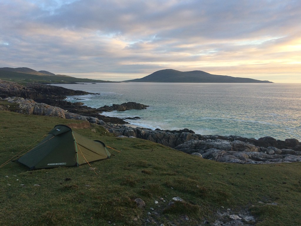 Camping near Horgabost
 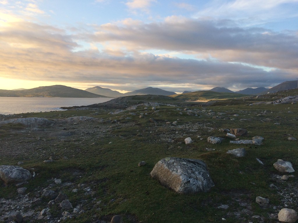 North Harris from Horgabost
  Taransay
 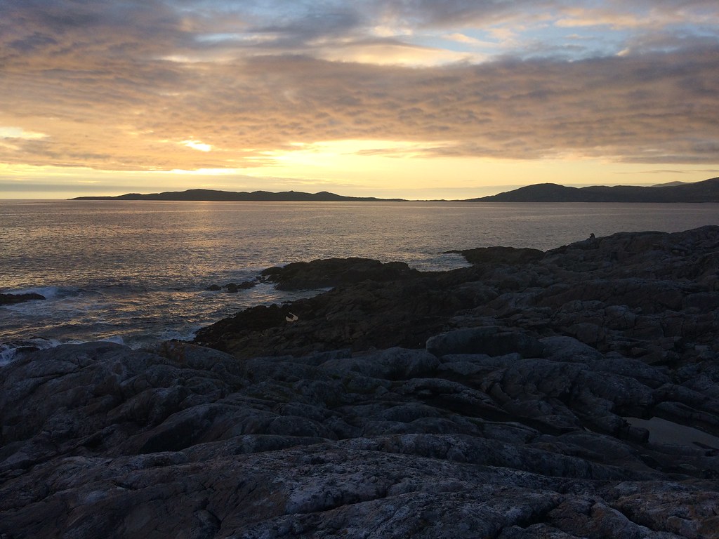 Sunset
 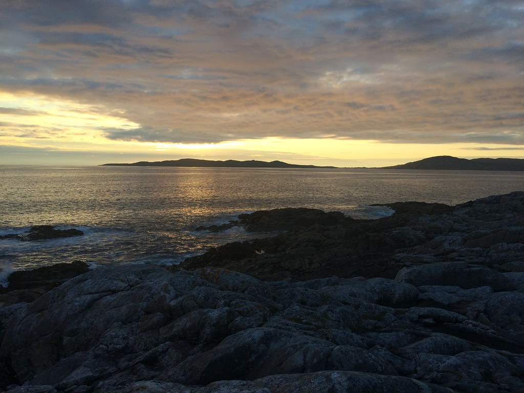 Sunset
 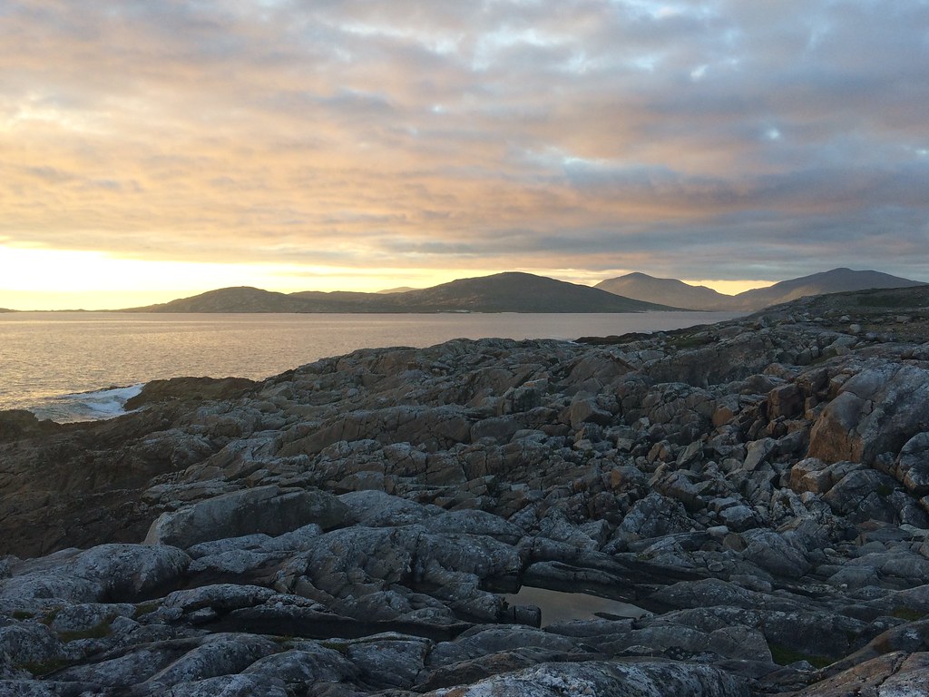 Sunset over Taransay
 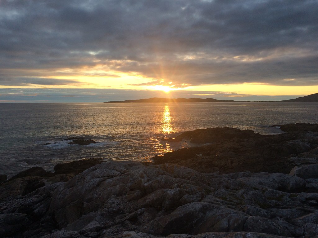 That's it folks
 I was up at 5:30 and on the move by 5:45 - can't usually get ready that fast! What a morning - the general theme of the trip was a gradual improvement in weather as it went on and I would love to have spent another half day (or week) on Harris. The ferry journey was one of the calmest I have ever been on, with barely a ripple in the water, and before long I was on Skye.
 Stunning morning - Ceapabhal from my tent
 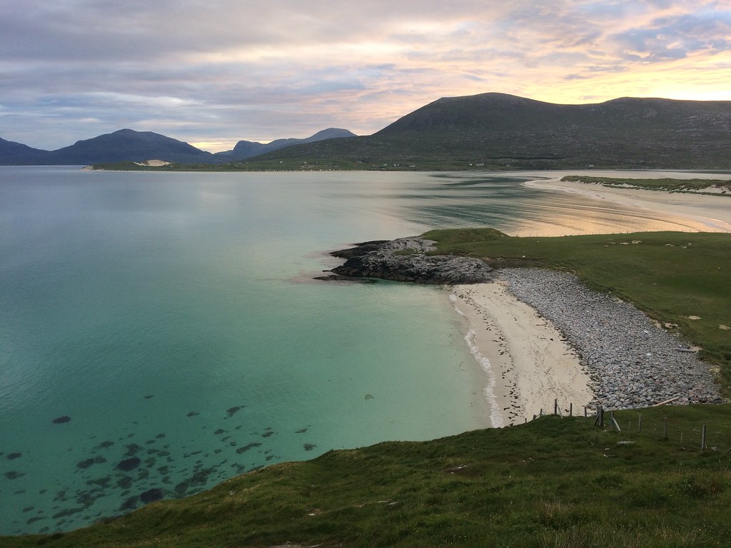 Beinn Dubh from Sheileboist
 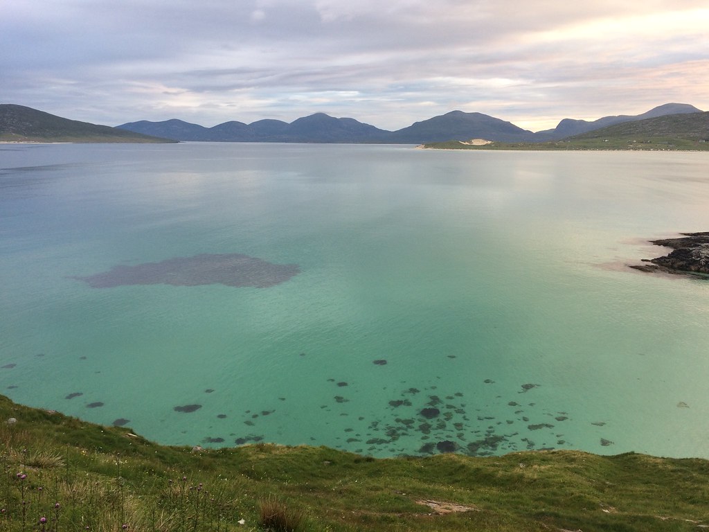 North Harris hills
 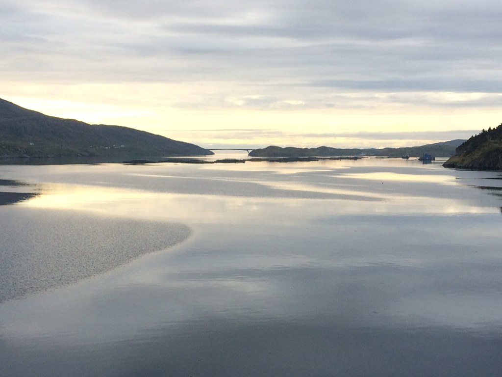 Scalpay bridge from the ferry
  Goodbye Harris
 I don't usually think of Skye as disappointing, but coming immediately after that sunrise on Harris, it did feel slightly anticlimactic to be driving towards Portree. However that wasn't to last for long.
