free to be able to rate and comment on reports (as well as access 1:25000 mapping).
June. It can only mean one thing. A Gold DofE assessment cannot be too far away! And for the fifth or sixth (I have lost track) year in a row, I was leading an expedition from Aviemore to Kingussie via the Lairig Ghru and Glen Feshie. I had tried my best to convince various people that the group should use this route as their training expedition at the start of June and use the proposed training route around Dalwhinnie and Loch Laggan as the assessment route later in the month. This was purely for my own selfish benefit though and it was overruled on the grounds of a couple of minor technicalities!

So once again I was Aviemore bound in my attempt to set a world record for the number of traverses of the Lairig Ghru in consecutive years in the month of June in the same direction carrying a four day expedition pack!

The dates had been changed last minute so we were now starting on the Sunday rather than the Saturday. Scotrail were unable to get us out of Perth until 11am meaning we would be faced with a late start from Aviemore. Daylight wasn't a problem at all, but we didn't want to be that late into Corrour Bothy for our first night. So arrangements were made for the pupils to head north in a couple of parental cars while myself and my assistant Jacob got the Megabus from Broxden. My car would have been awkward as I would have to dump it in Aviemore for four days and get back to it from Kingussie at the end of the expedition.
Sunday 17th June (Father's Day) - 22km, 770m
I had arranged with the pupils to meet them at the start of the path leaving the road at Coylumbridge at whatever time it was but there was no sign of them. We hung about for 20 minutes or so, asking random cyclists, walkers and campers if they had seen any likely looking suspects along their ways, but with no results. We were about to head off in the assumption that yet another group had disregarded a simple instruction and left of their own accord when we saw them heading along the road.
We walked with them along the path towards the Cairngorm Club Footbridge and soon met a group with all the traditional hallmarks of a DofE group coming towards us. I got chatting to their leader. They were from Monifeith on their way home after a Gold training trip and when I told them we were from Perth High, she said that her cousin had been a PHS pupil and had done her DofE there. Was quite a while ago now though, so I probably wouldn't know her. Try me! Turns out I did know her. She had been 13 in 2004 when I went there and was part of the Bronze intake in 2006, my first season being involved with the scheme. Do the maths - she is now in her late 20s and practising psychiatry in London. OK, stop talking now! I'm feeling old!

We went our separate ways and Jacob and I set about putting a bit of distance between us and the 7 pupils. We stopped for lunch just beyond the end of the trees and before the real hard work of the Lairig Ghru begins and I got a little misty eyed when I opened my lunch box and found a few unexpected surprises to mark Father's Day!
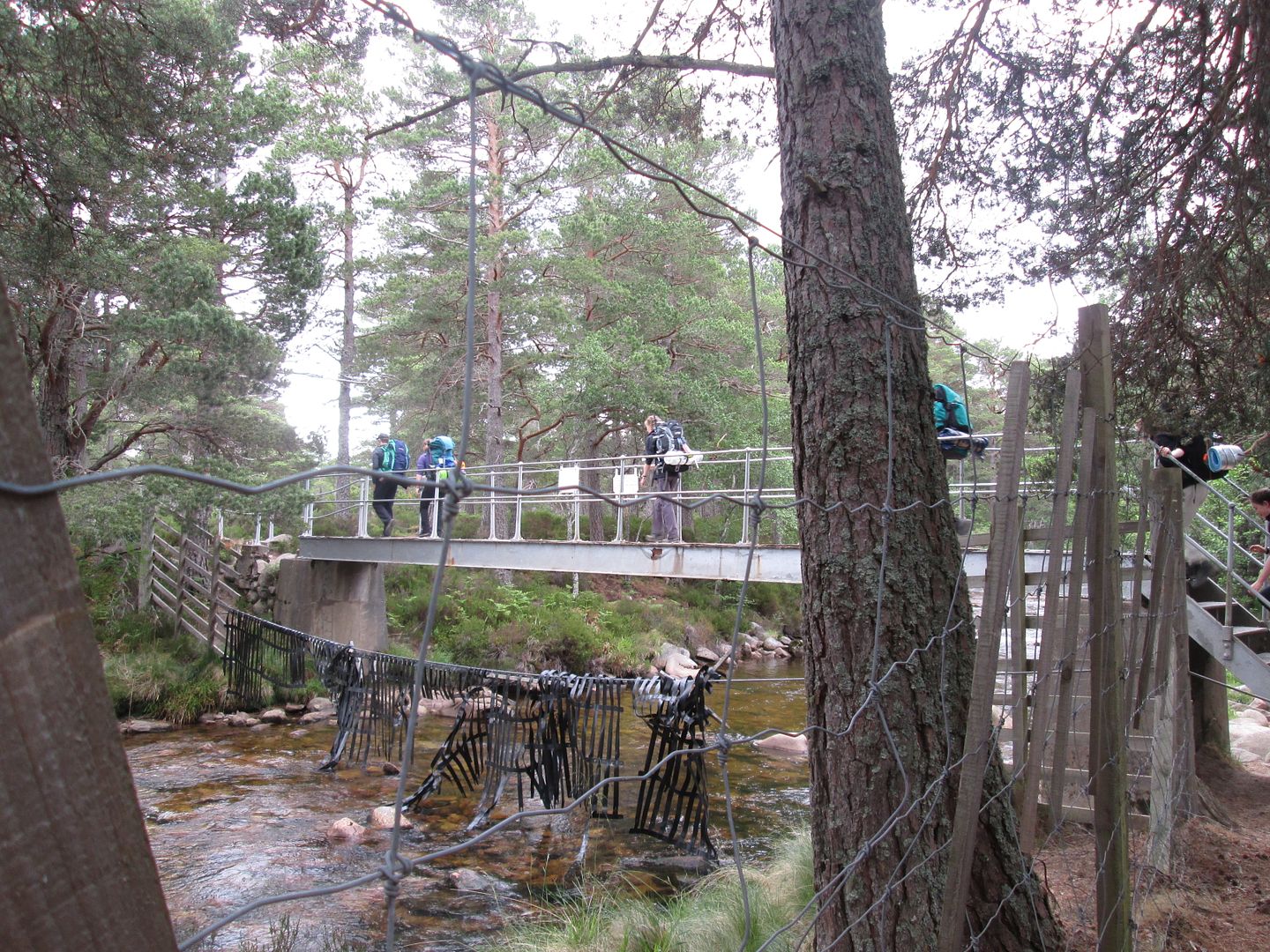 The group crossing the Cairngorm Club footbridge
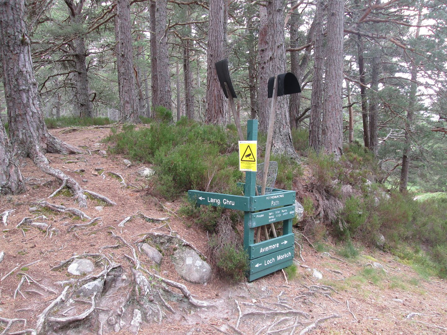 Loch Morlich/Lairig Ghru junction
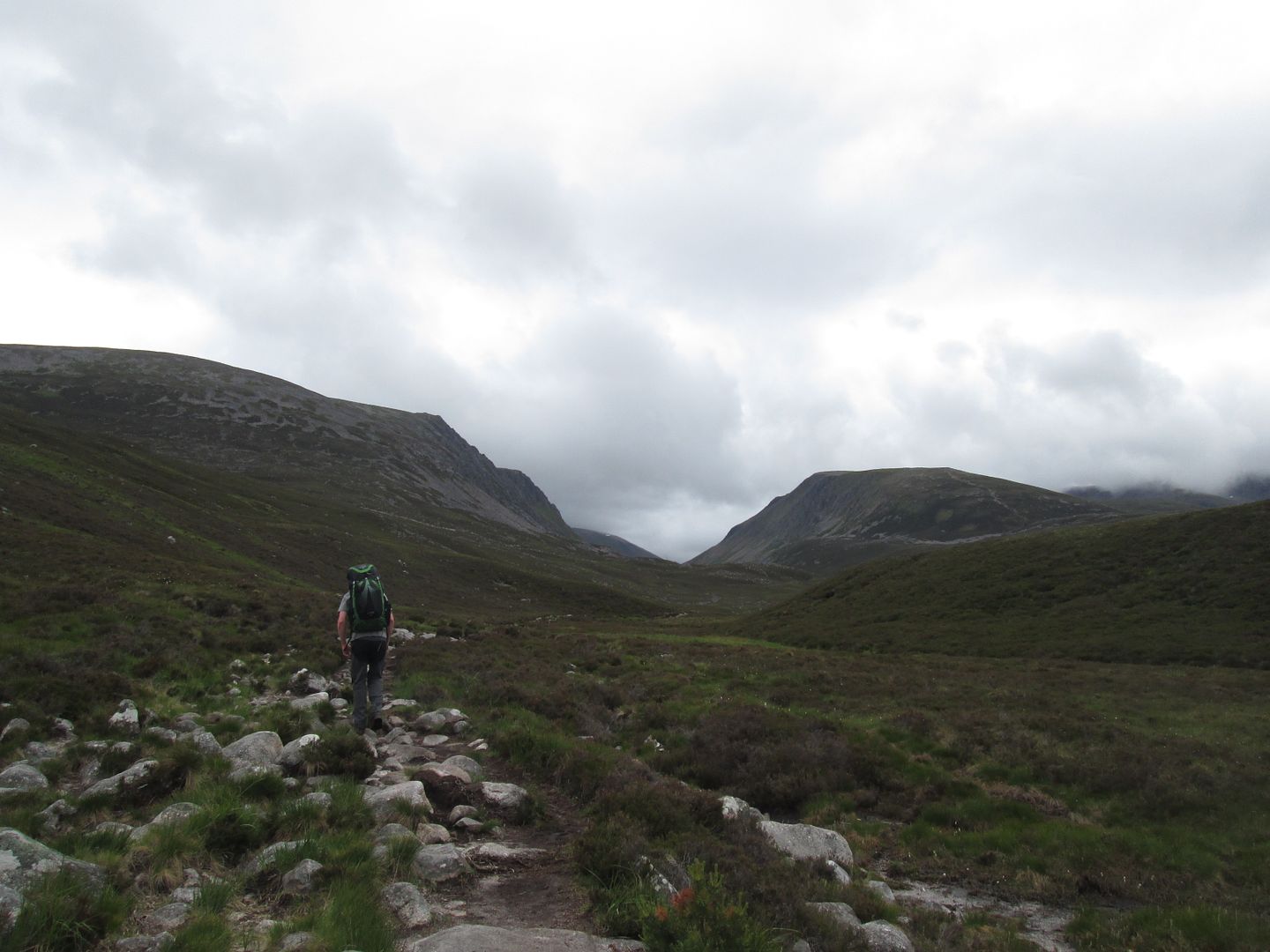 Lairig Ghru ahead - here we go AGAIN!
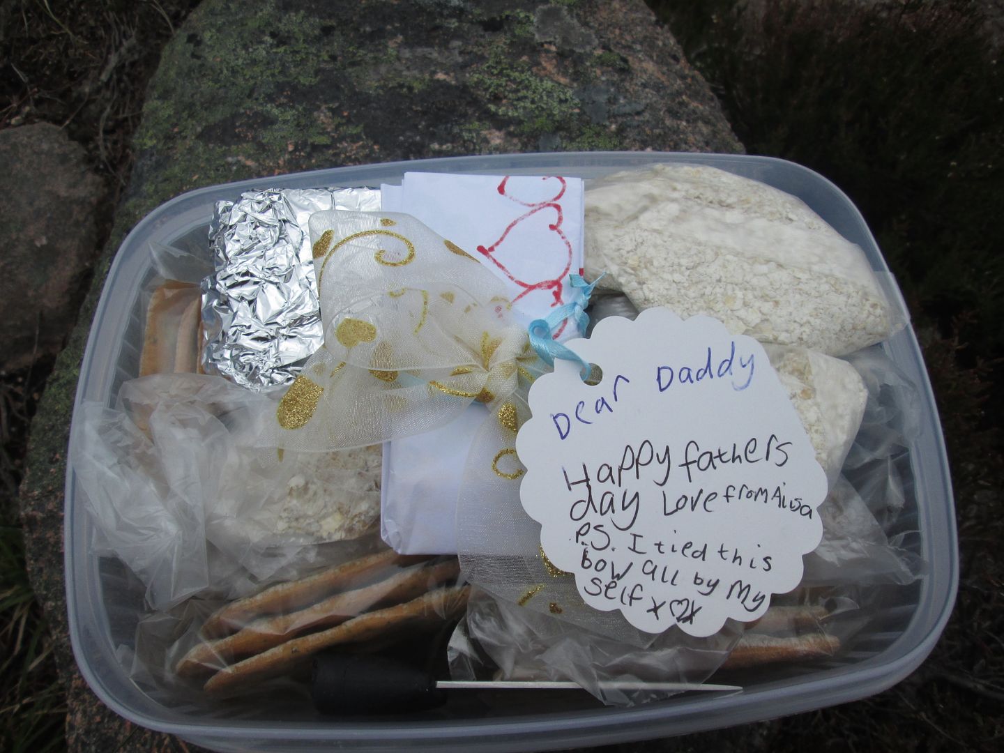 Lunchbox surprise
Then began the hard work, past the foot of the Chalamain Gap footpath and Maggie's Garden where Jacob and his fellow Gold candidates had spent an unscheduled night last year as we evacuated a casualty back to Aviemore!

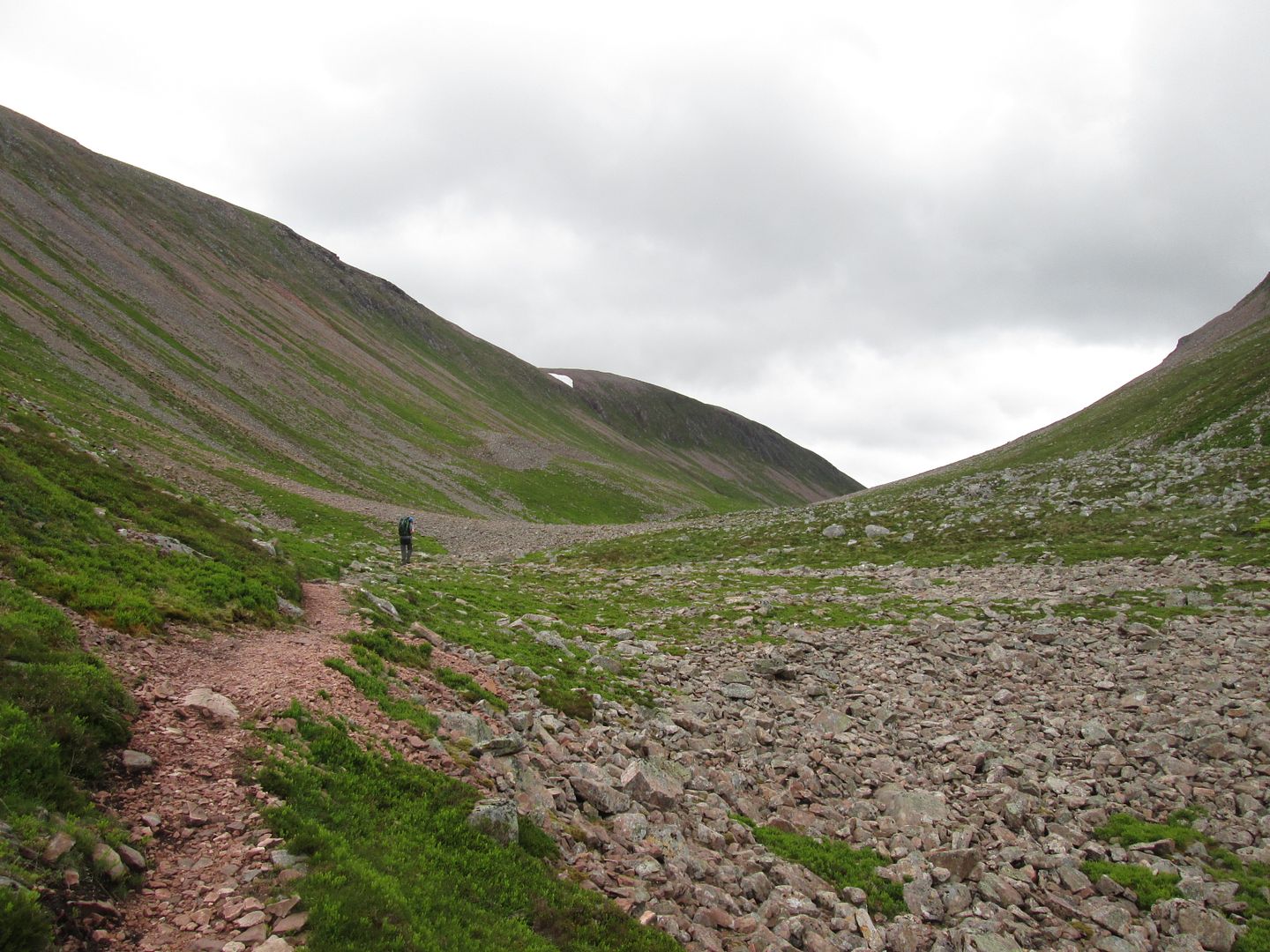 Jacob being dwarfed by the Lairig Ghru
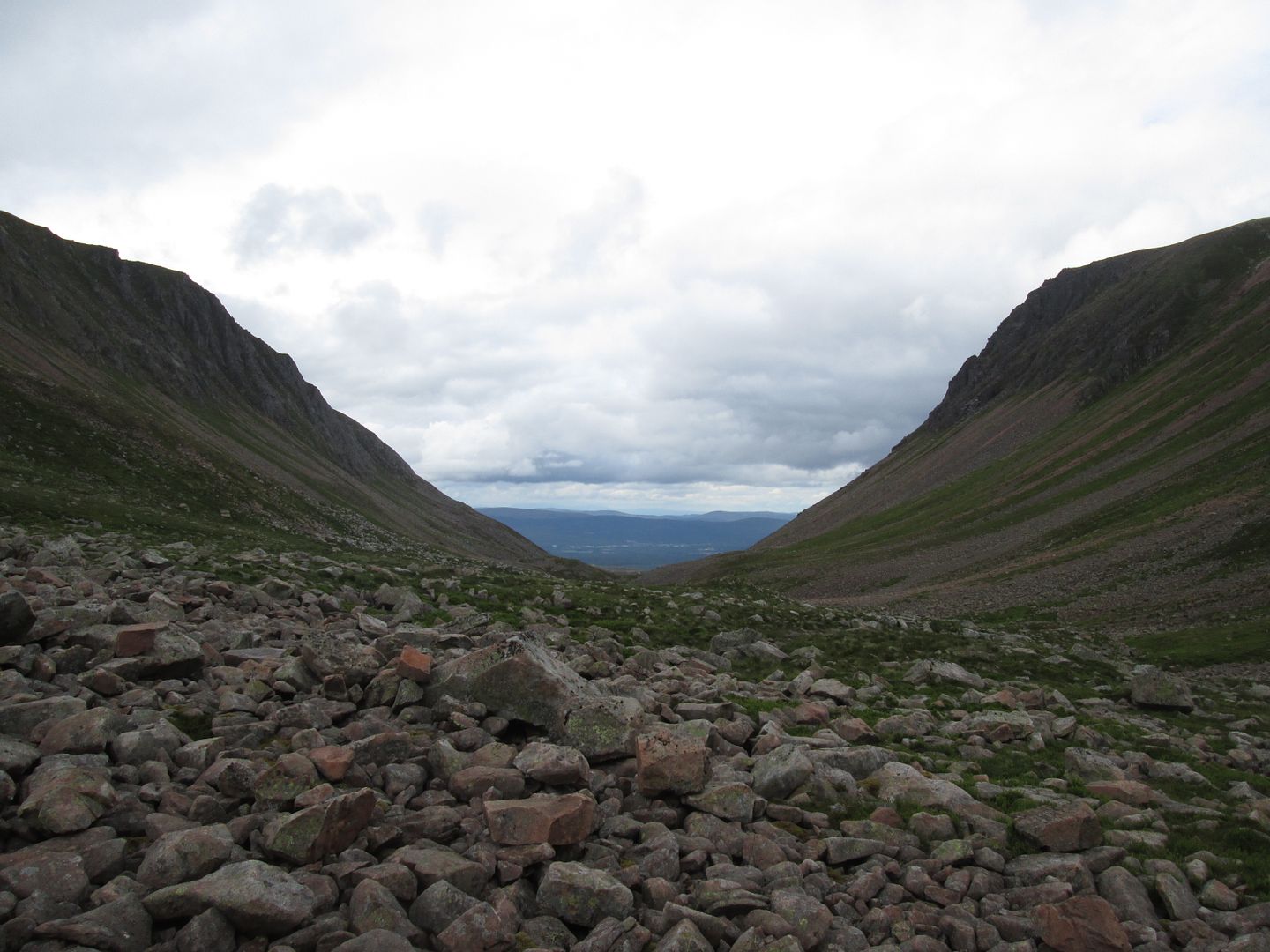 Looking back down to Aviemore
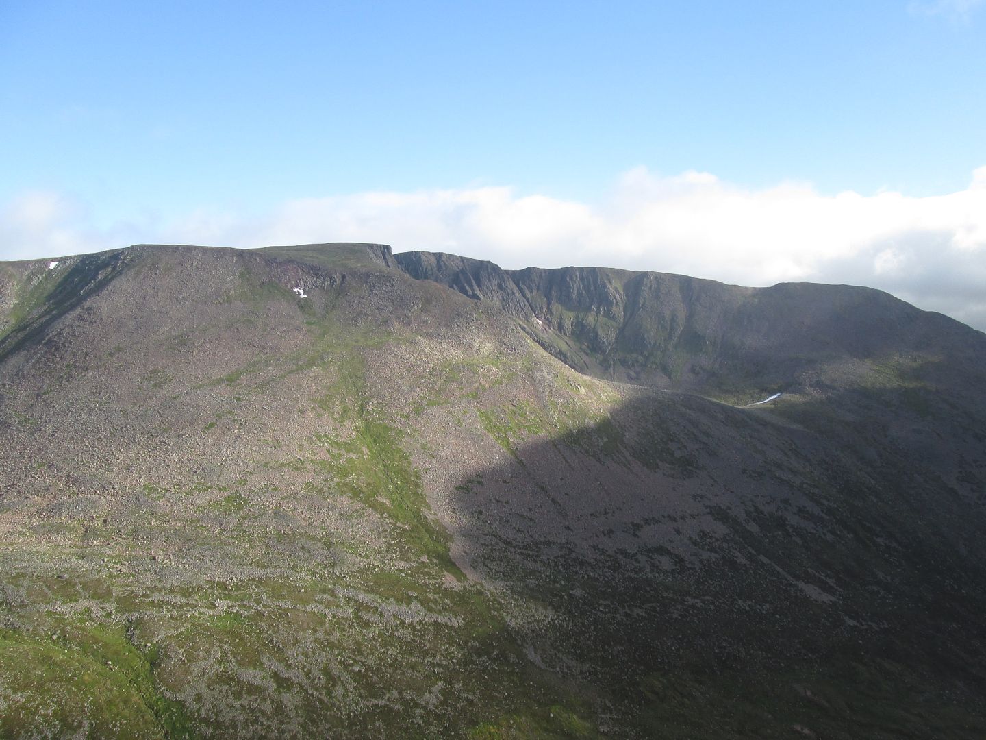
 Bits of this route may be becoming tedious after all these years but there are still bits that I will never tire of, such as that first sighting of the Devil's Point and Cairn Toul from the top of the Lairig Ghru. And of course the route has provided me with numerous opportunities for bagging side trips over the years. There was the very early morning raid on the Devil's Point and Monadh Mor back in 2014, the splashing over the Feshie at an equally ungodly hour in 2015 to tackle Leathad an Taobhain and then the evening forays to the Geldie Munros and the Tromie Corbetts in 2017. This year would be no different, although the options for new hills were becoming more and more limited. The main target this year would be the very remote Corbett of Beinn Bhreac between the headwaters of the Feshie and the Tarf. From anywhere it is a long way in and back out, but from our usual night two camping spot, it looked like a reasonable objective. I also fancied doing a repeat hill from Corrour Bothy either on the Sunday evening or first thing Monday morning. Probably either Carn a'Mhaim or Cairn Toul and Sgor an Lochain Uaine.
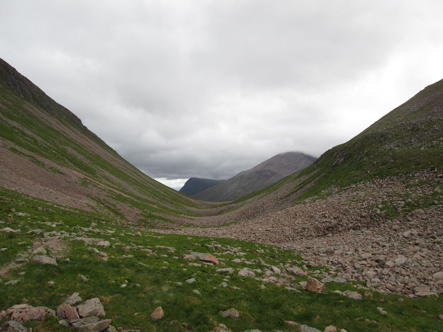 Cairn Toul and Sgor an Lochain Uaine from just beyond the high point of the pass
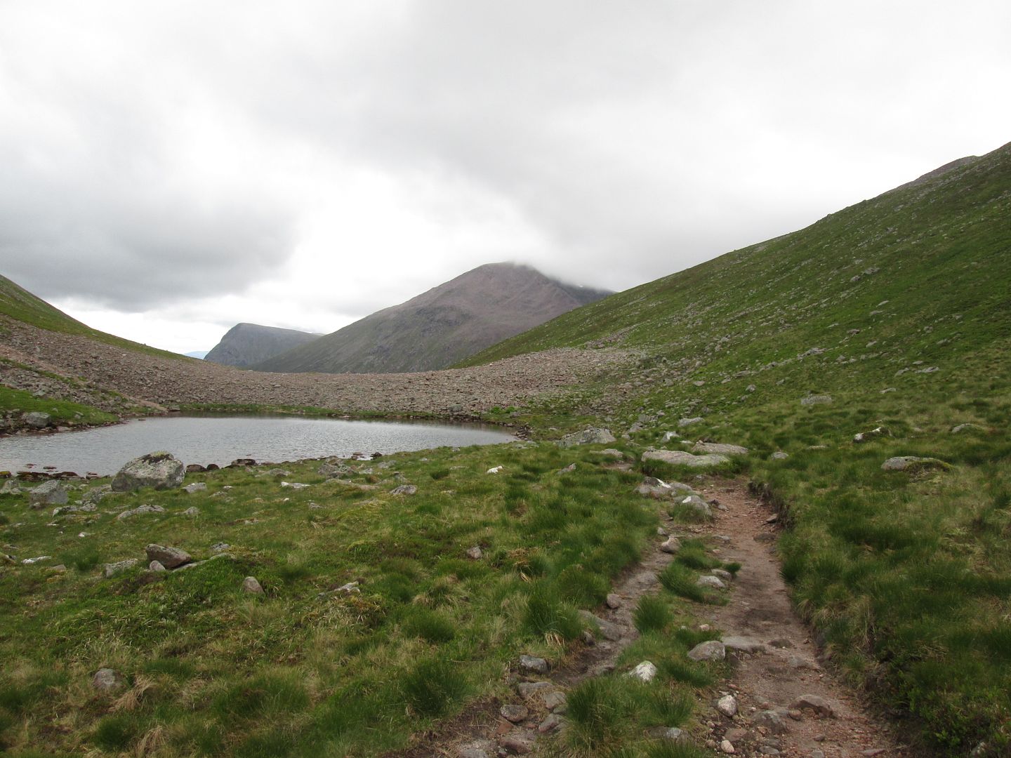 A pool of Dee
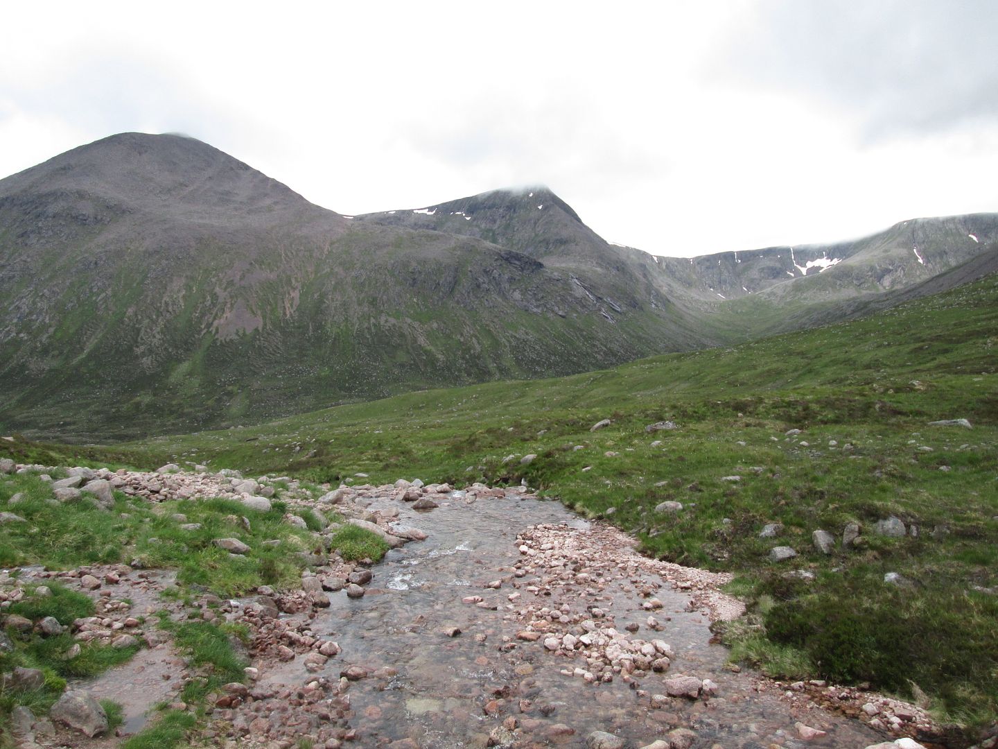 Cairn Toul and Sgor an Lochan Uaine across the River Dee
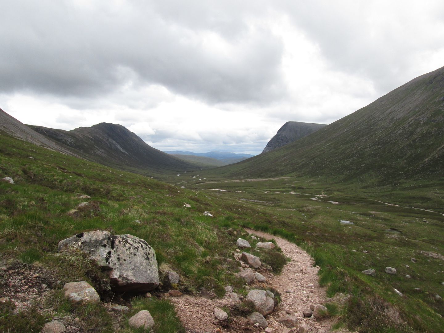 Looking down the valley of the Dee between Carn a'Mhaim and The Devil's Point
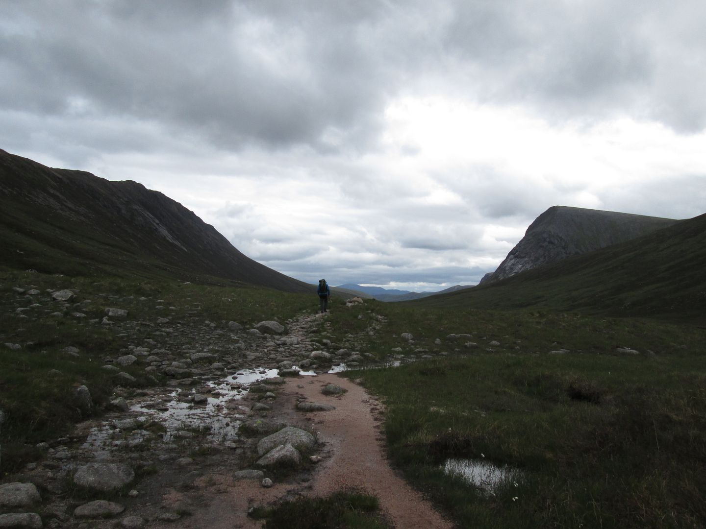 Dark cloud banks gathering
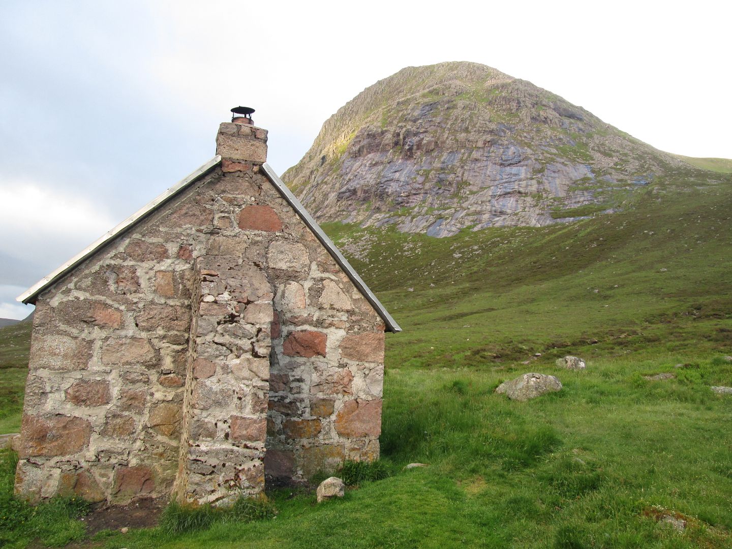
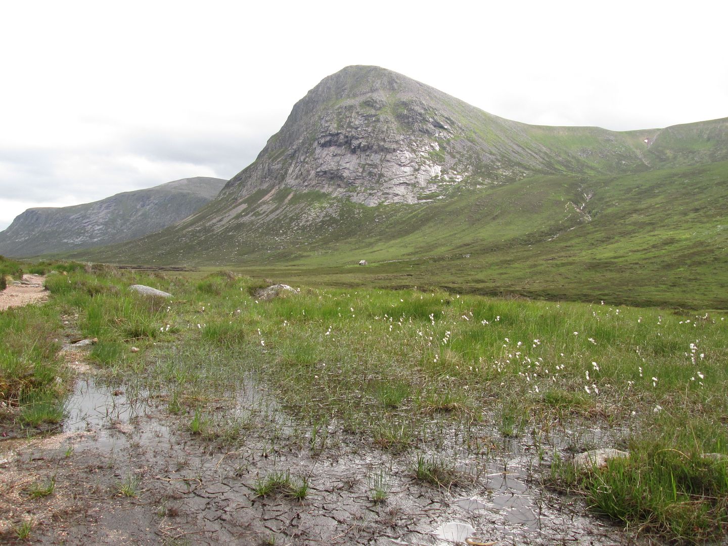 Corrour Bothy below the slabby flanks of The Devil's Point
We got into Corrour a good couple of hours ahead of the group and made ourselves at home. Jacob pitched his tent outside but I opted to kip in the black hole that is the inside of the bothy. I have been in there so many times over the years in one guise or other, but had never spent the night inside the bothy.
I set up a chair at the doorway with a view of the kids coming down the path from the Lairig Ghru and got dinner on the go. A little bit of chicken tikka with a packet of Ainsley Harriet couscous. As I sat there with the stove going reading my copy of Bruce Dickinson's autobiography, something flashed by at ground level in my peripheral vision. I thought it was a leaf blowing in at first, then I realised that there were no trees and very little in the way of wind! How odd! Then it happened again! Odder still! I must remember to mention this to the eye clinic people next time I am back! Either that or Ainsley is putting some weird sh*t in his couscous!
Then it happened a third time but I was ready for the wee critter this time! The resident rodent was on the rampage. Better get the magic mix tied up on the clothes line or the thing will be having a party with it!
Monday 18th June - 32km, 1290m
Jacob was up for a wee walk in the morning so I set an early alarm and we were on our way by just after 6am, heading back up the path towards Aviemore on our way to the Garbh Coire shelter, currently undergoing renovation work.
 Corrour Bothy 6am
From there we planned to head up the north east ridge of SaLU past the lochan onto the summit and along to Cairn Toul before dropping back down to the bothy for breakfast, hopefully in time to catch the kids.
As we made our way over the River Dee and across the rough ground into Garbh Coire I made a mental note to write a letter of complaint to Mell and Lisa, our DofE administrators. Last week had seen me sent out on a Silver Training gig with a 19 year old assistant and now here I was being left for dead by a 17 year old assistant!

I think someone is trying to do me in!
Jacob has just completed his first year as an apprentice stonemason with Historic Scotland and I think he was quite keen to see the renovation work going on at the shelter but to be honest, other than a tarpaulin draped over a steel frame, there wasn't a great deal to see when we got there, especially in the stone masonry department.
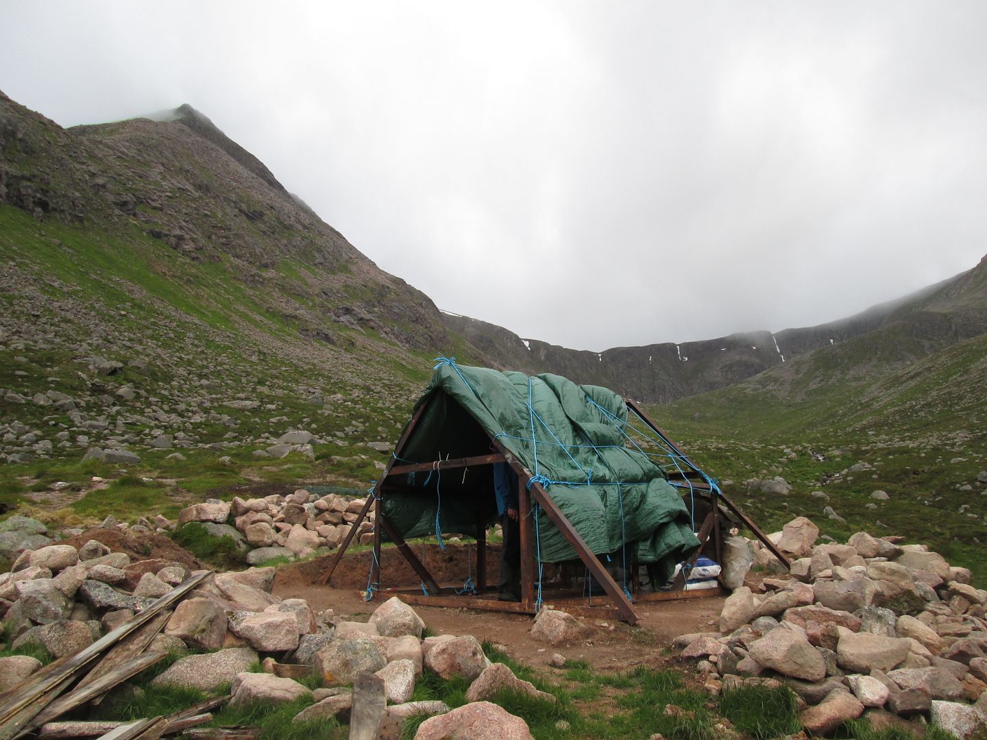 Garbh Coire shelter
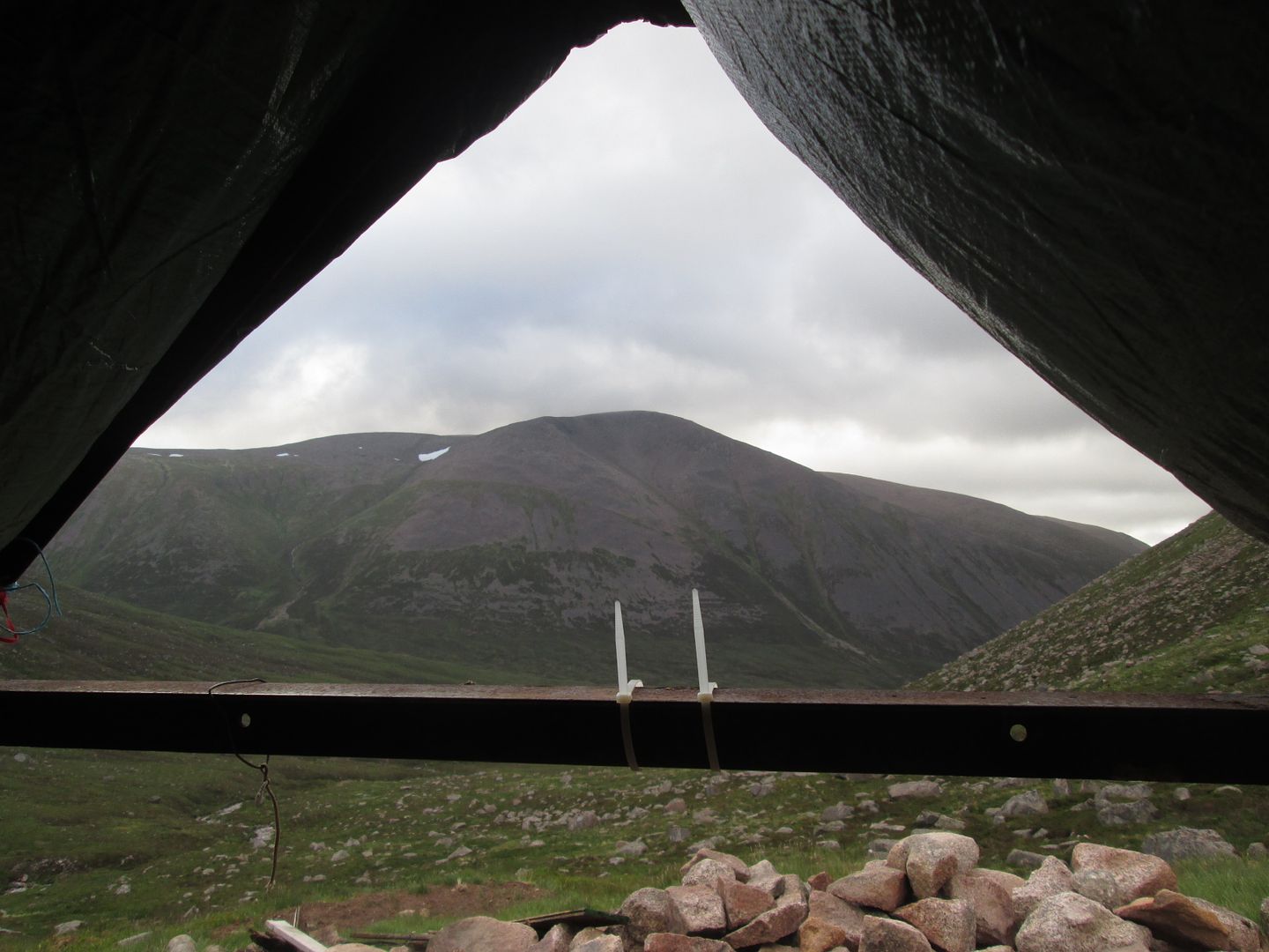 Macdui from the inside of the shelter
After a cursory inspection, we headed for the NE ridge of Sgor an Lochain Uaine and picked our way up towards the lochan, a spot I had observed before but never visited. I thought about trying to send out my traditional Monday morning DofE personal side trip text to Kev wishing him a nice day at work but then realised that he is currently working compressed hours over three days a week, partly in an attempt to fit more hill time in over the summer, and as a result does not work Mondays and Tuesdays at the moment. Bugger! He's probably on a hill somewhere!

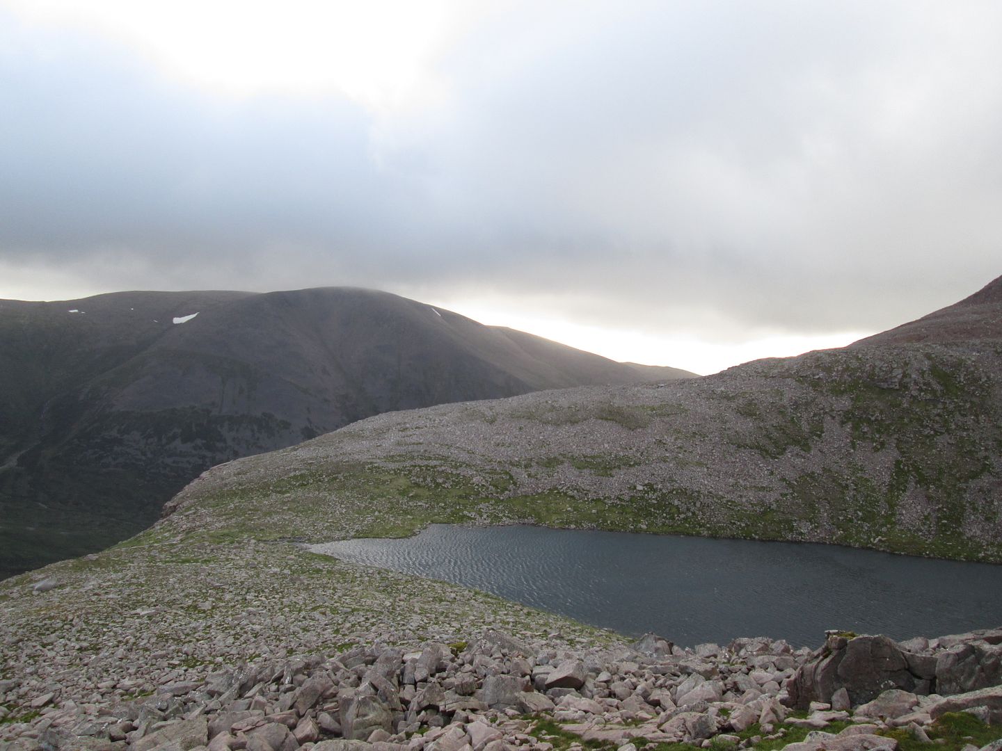 Macdui and Lochan Uaine
We spent 10 minutes or so sitting by the edge of the loch, where we found the empty canister of a used distress flare. A bit heavy and bulky to carry out over the next three days so it had to remain under its rock.
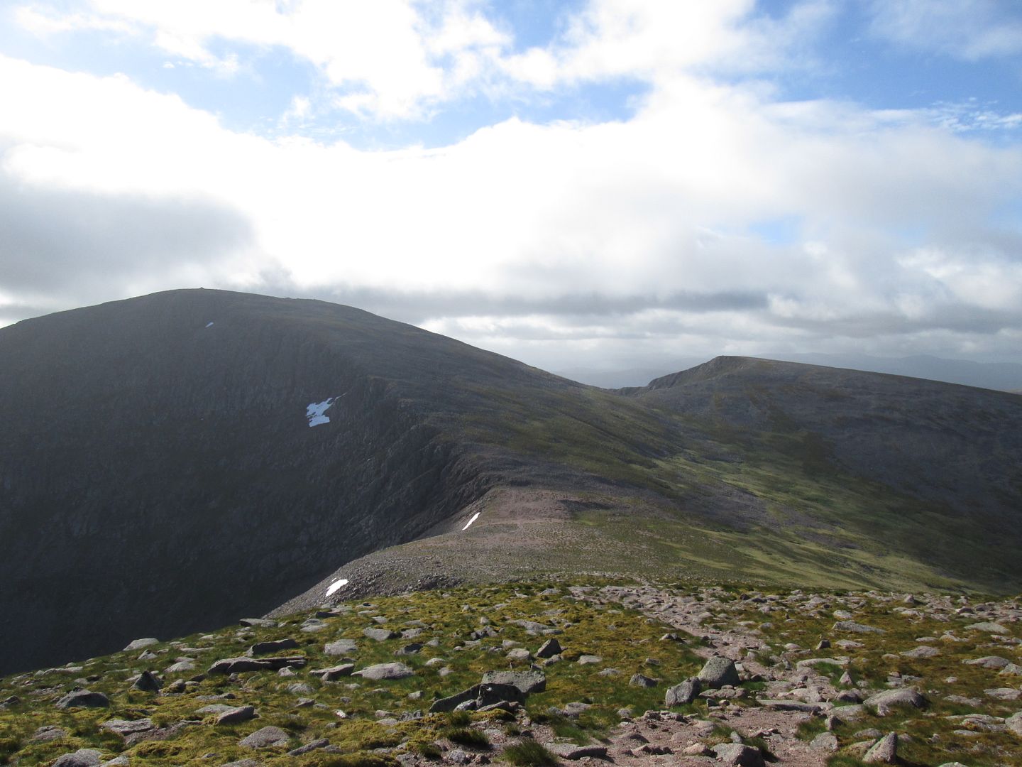
The NE ridge gives fine hands on scrambling, particularly in the higher reaches and we eventually emerged onto the very windy summit. We did not linger long!
 Braeriach from the North East Ridge
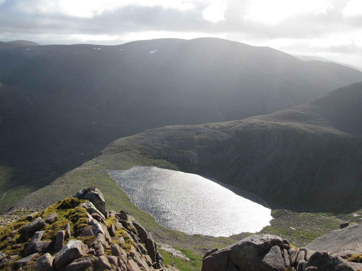 Looking down the ridge to Lochan Uaine
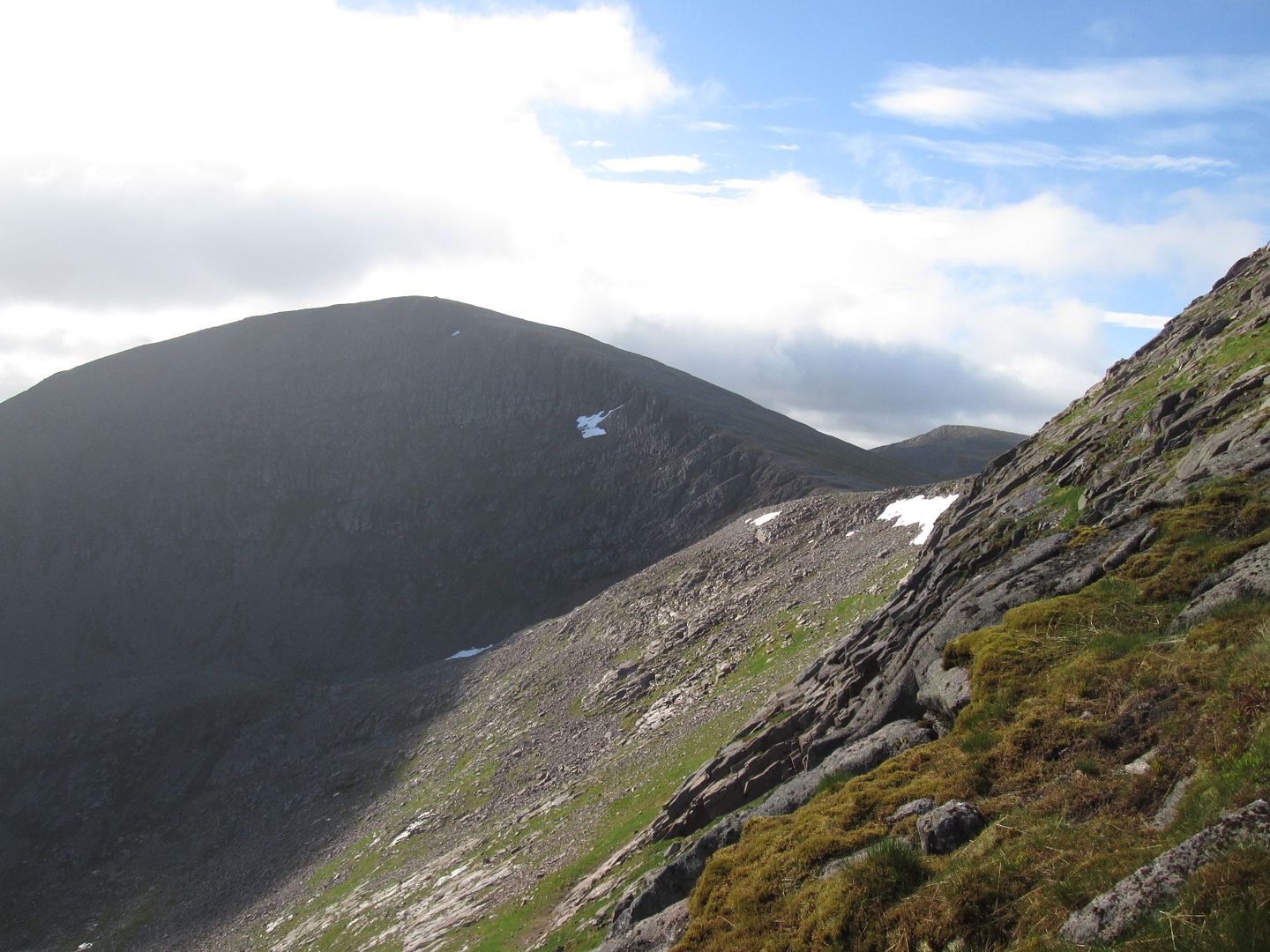 Cairn Toul
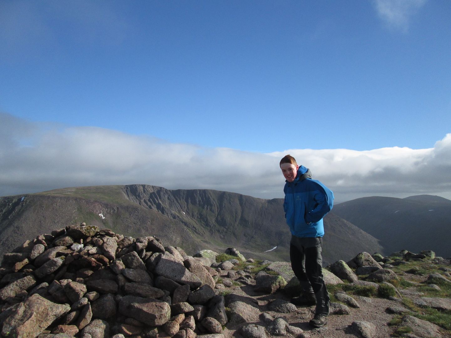 Jacob on the summit of Sgorr an Lochain Uaine, looking to Braeriach
The ridge along to Cairn Toul gave very arduous walking in the brutally windy conditions but the views over to Monadh Mor and lonely Loch nan Stuirteag (or at least those I could see through my watering eyes!) brought back good memories of that June morning four years ago.

 Ridge to Cairn Toul
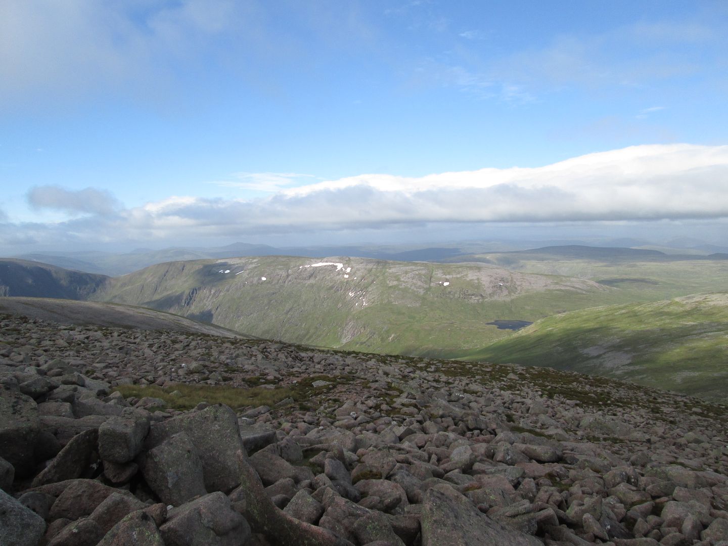 Monadh Mor and Loch nan Stuirteag
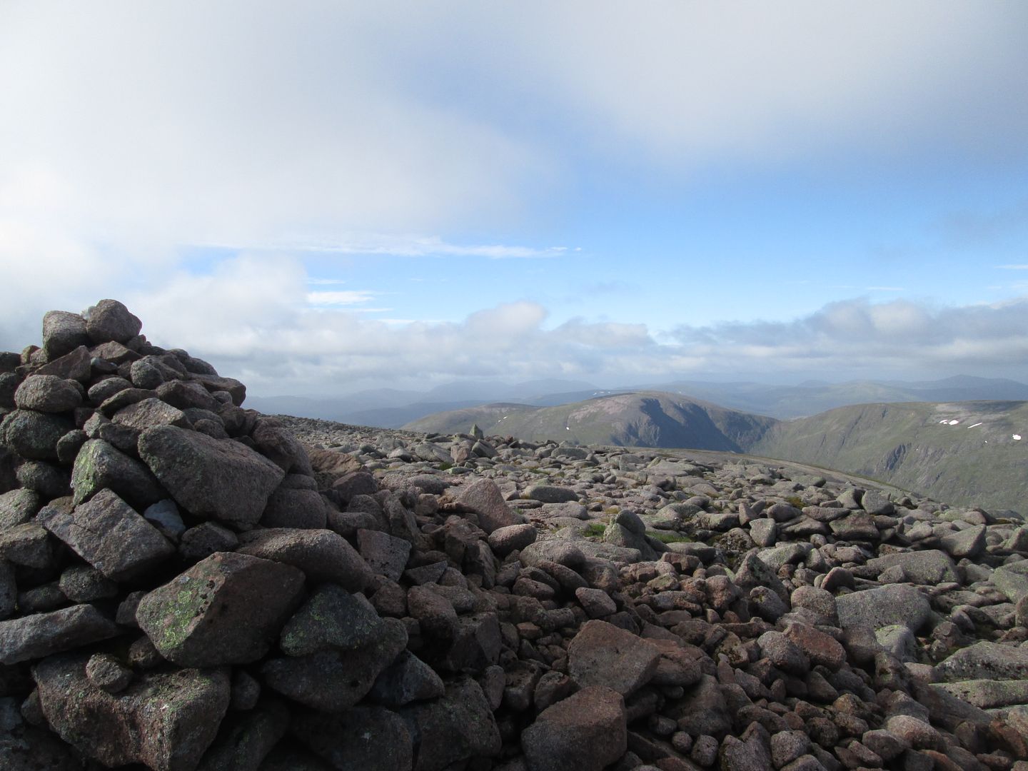 Beinn Bhrotain and Monadh Mor from Cairn Toul
 Carn a'Mhaim from the summit of Cairn Toul
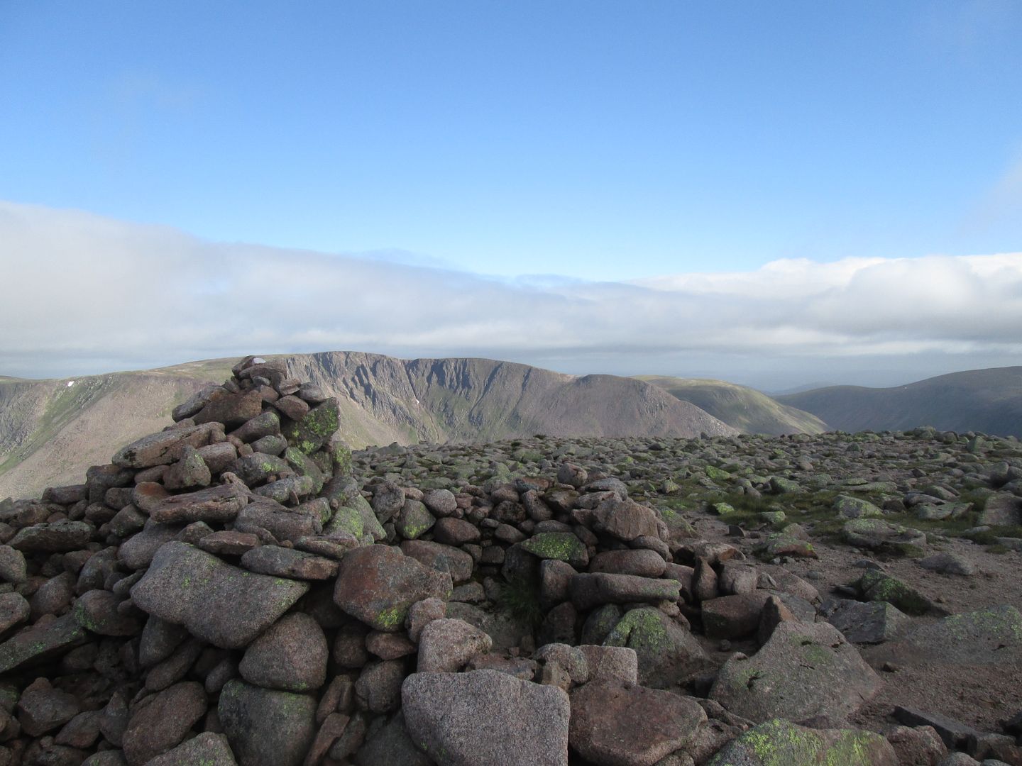 Braeriach from the summit of Cairn Toul
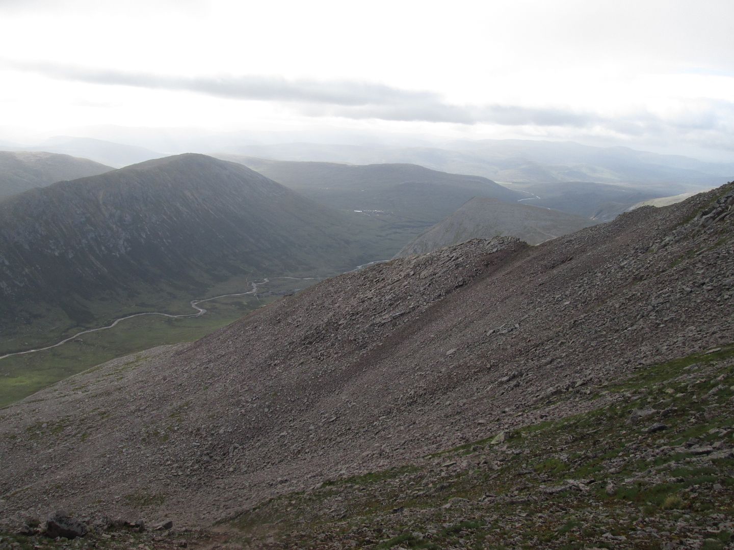 Coire an t-Sabhail
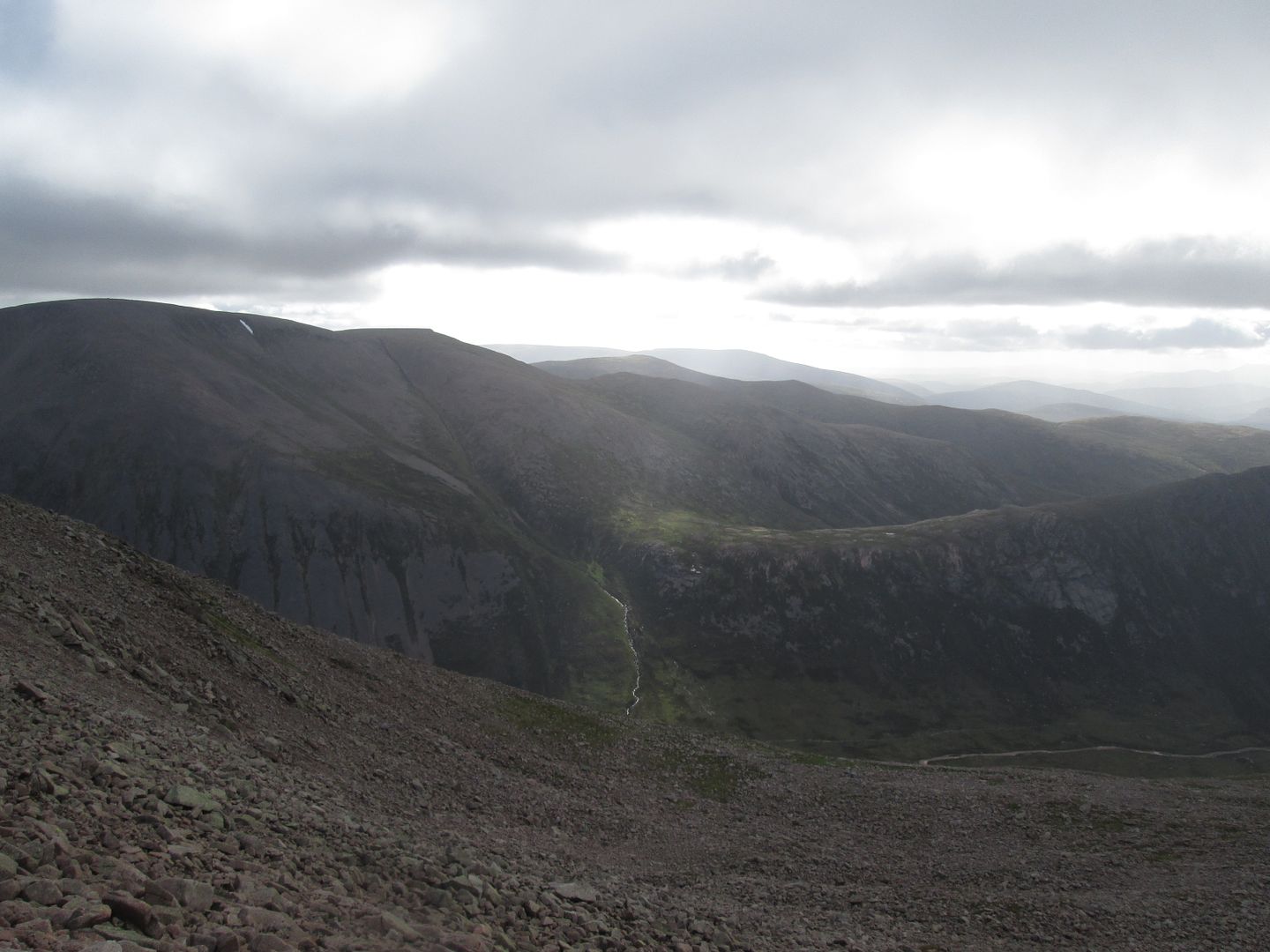 Macdui and the Tailor's Burn
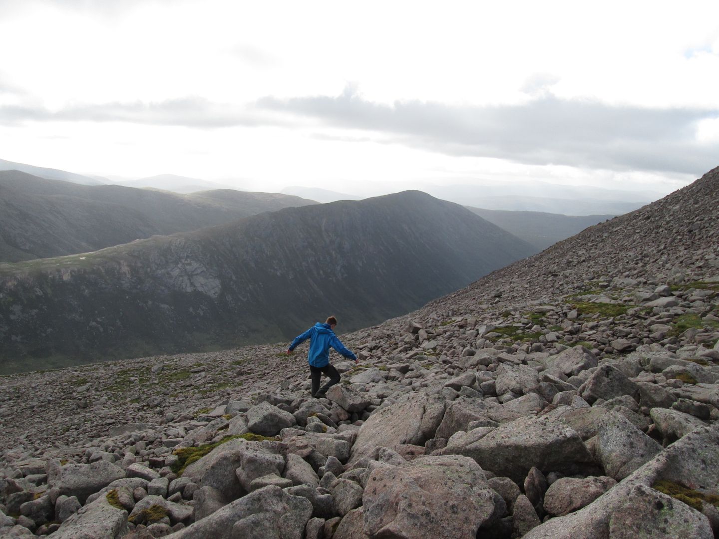 Jacob carefully picking his way down through the coire
We came round the corner and sighted the bothy just in time to see the group readying themselves for the off and we got back in time to sit outside and have breakfast while they proceeded to head off up the path that climbs
AWAY from the River Dee and into Glen Luibeg. By the time I was on my second mug of coffee they had vanished from sight. Oh well. Rescue and recovery operations fall to the youngest member of the leader team - I'm sure I read somewhere that that's the rules!
We eventually set off across the metal bridge and almost immediately onto the bogfest that is the initial section of the path down Glen Dee. I was confident that we would see the group again sometime, if not in this life then at least in some future one!
Before too long, information gleaned from an encounter with a couple of chaps on a Braemar to Aviemore through walk confirmed that it would indeed be in this life, in fact this very day, as the group had been positively sighted back on course and making their way down Glen Dee towards White Bridge. Stand down Jacob! You're off the hook!
 Beinn Bhrotain and The Devil's Point
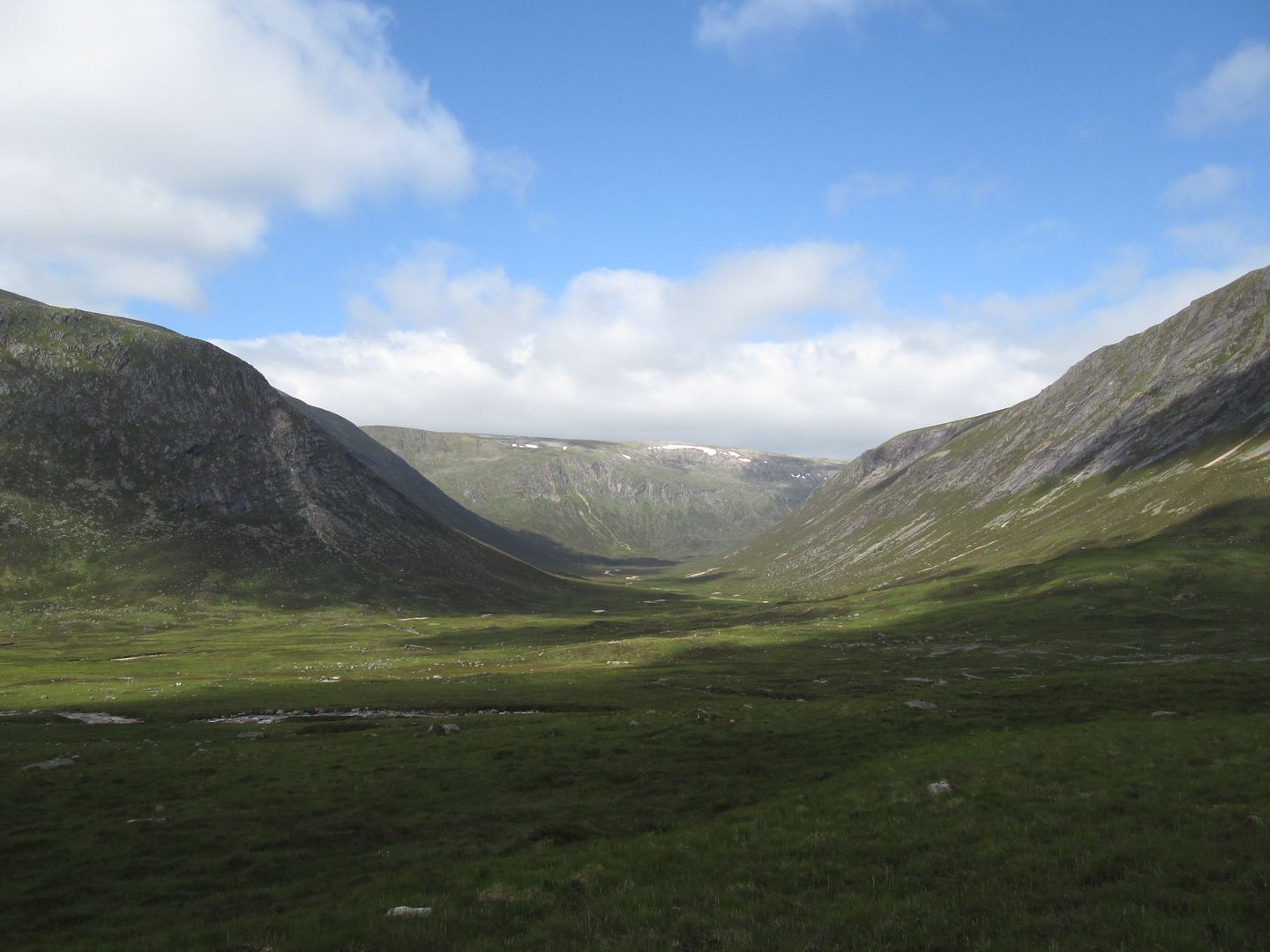 Glen Geusechan - memories of a tough walk out from Monadh Mor after breakfast with Satan in 2014
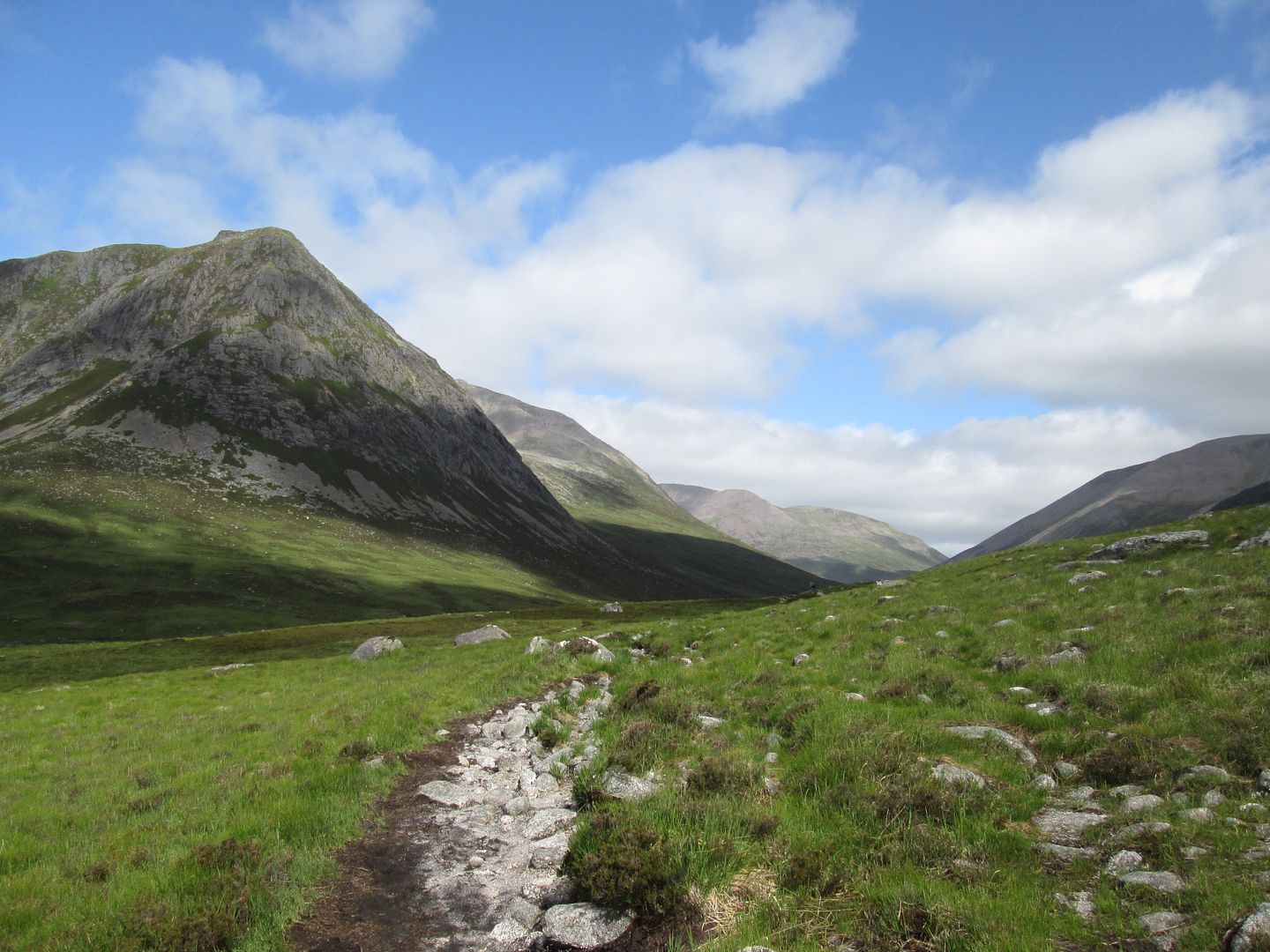 Farewell Lairig Ghru - until next year?
The walk down Glen Dee is long and uneventful, yet for all this it is always a part of this route that I quite like. It affords the opportunity to relax and let your mind wander a bit.
If the weather is playing ball, which it was today, I always like to stop and have lunch on the flat topped rocky outcrop above the Chest of Dee before beginning what always feels like the second half of the route and making what feels very much like a turn for home across White Bridge.
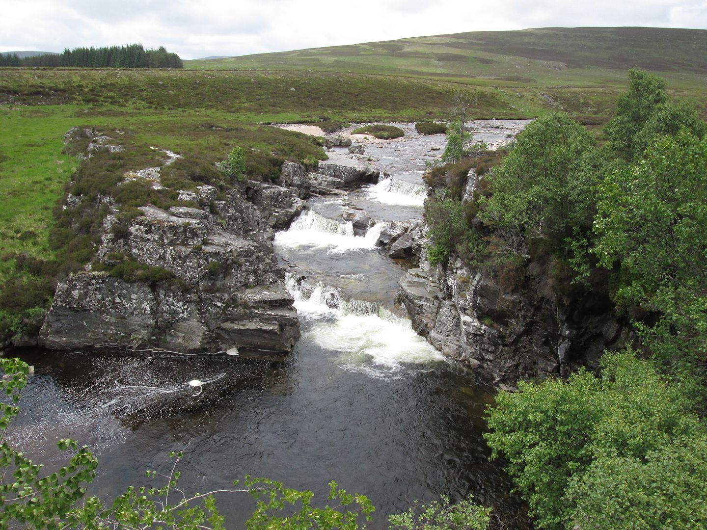 Chest of Dee
We found the group on the flat patch of grass at White Bridge having lunch and stopped for a quick debrief. My mind drifted back to the final morning of a Silver Assessment many moons ago when my colleagues and I were camped at that very spot and met what many would term a "roaming vagabond" but kinder folk might call a "genuine man of the hills". He had come along the track from the Geldie direction and was heading for Braemar. His clothes were little more than rags, his beard was almost tripping him and his bare feet were more like horses hooves. He was happy to tell us plenty of his story but not his name. "Names are but burdens to tie us down with" was his line. We called him Spirit.
Then there was the time when from the very same spot we had observed smoke coming from behind the plantation down the Geldie track as a group of boys (already two down after one had been choppered out earlier in the expedition and taken to Aberdeen Royal with back injuries and the one responsible for his hospitalisation had been frogmarched off the premises) attempted to set fire to the trees!
Oh how one has to laugh! I'm sure old Phil the Greek would have a right good chortle about it too!
We set off on the track alongside the Bynack Burn and hadn't gone more than a couple of hundred metres when a guy coming towards us (definitely not Spirit this time!) asked if we had seen a DofE group. "Only ours" I replied. "Are you guys PHS?" he asked. Turned out it was Dave, our external assessor. We had a good natter for 10 minutes or so then he toddled off towards the bridge to interrogate the group and generally do his thing while Jacob and I made ourselves scarce in the general direction of the Geldie Burn and what we in the PHS scheme refer to as the Red Shed, although it isn't really a shed and only the roof is actually red. It did however offer Jacob an opportunity at last to assess some stone masonry. His verdict was that some TLC is required!
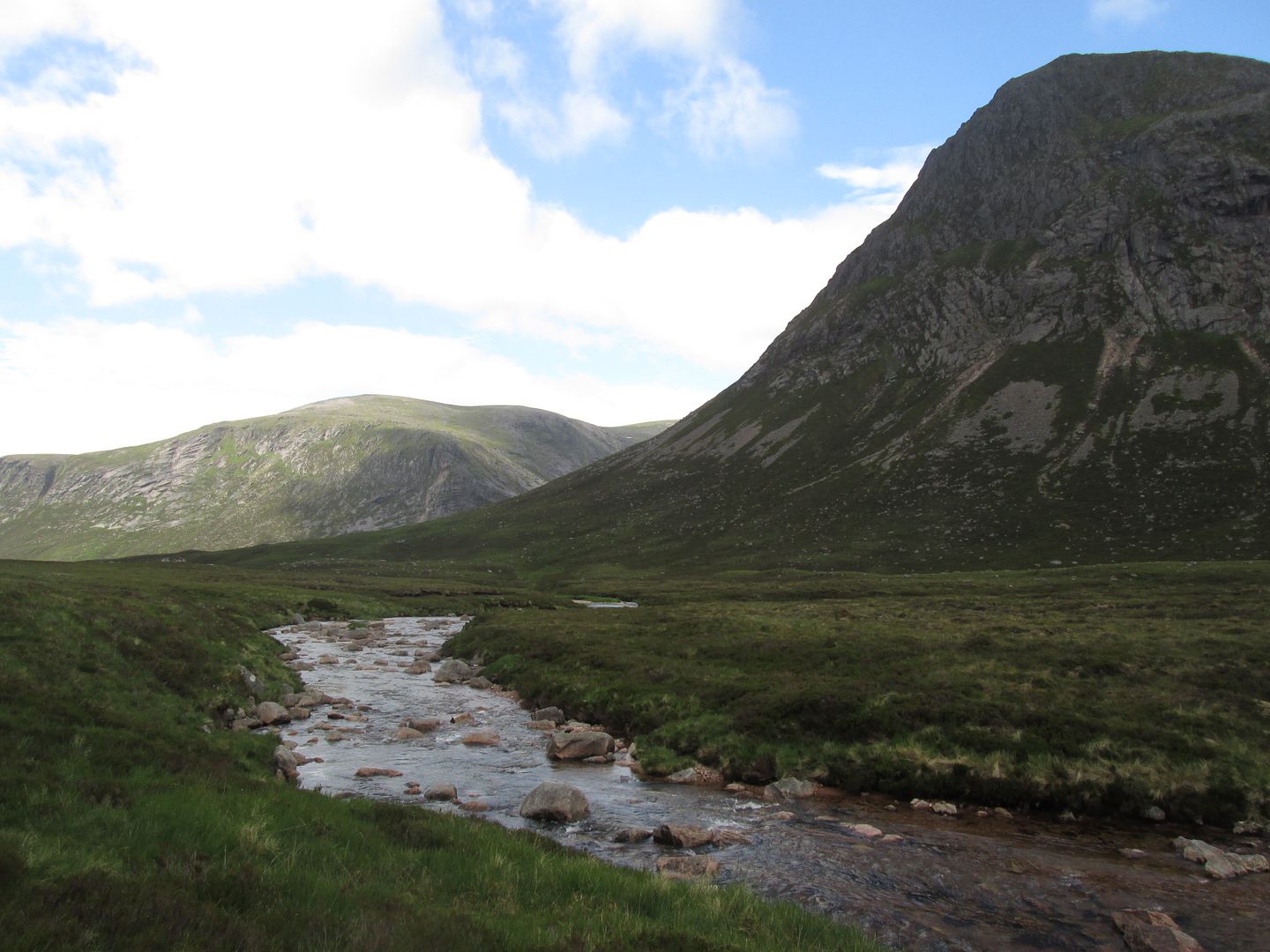
 Towards Glen Tilt and Beinn a'Ghlo from the confluence of the Bynack and Geldie burns
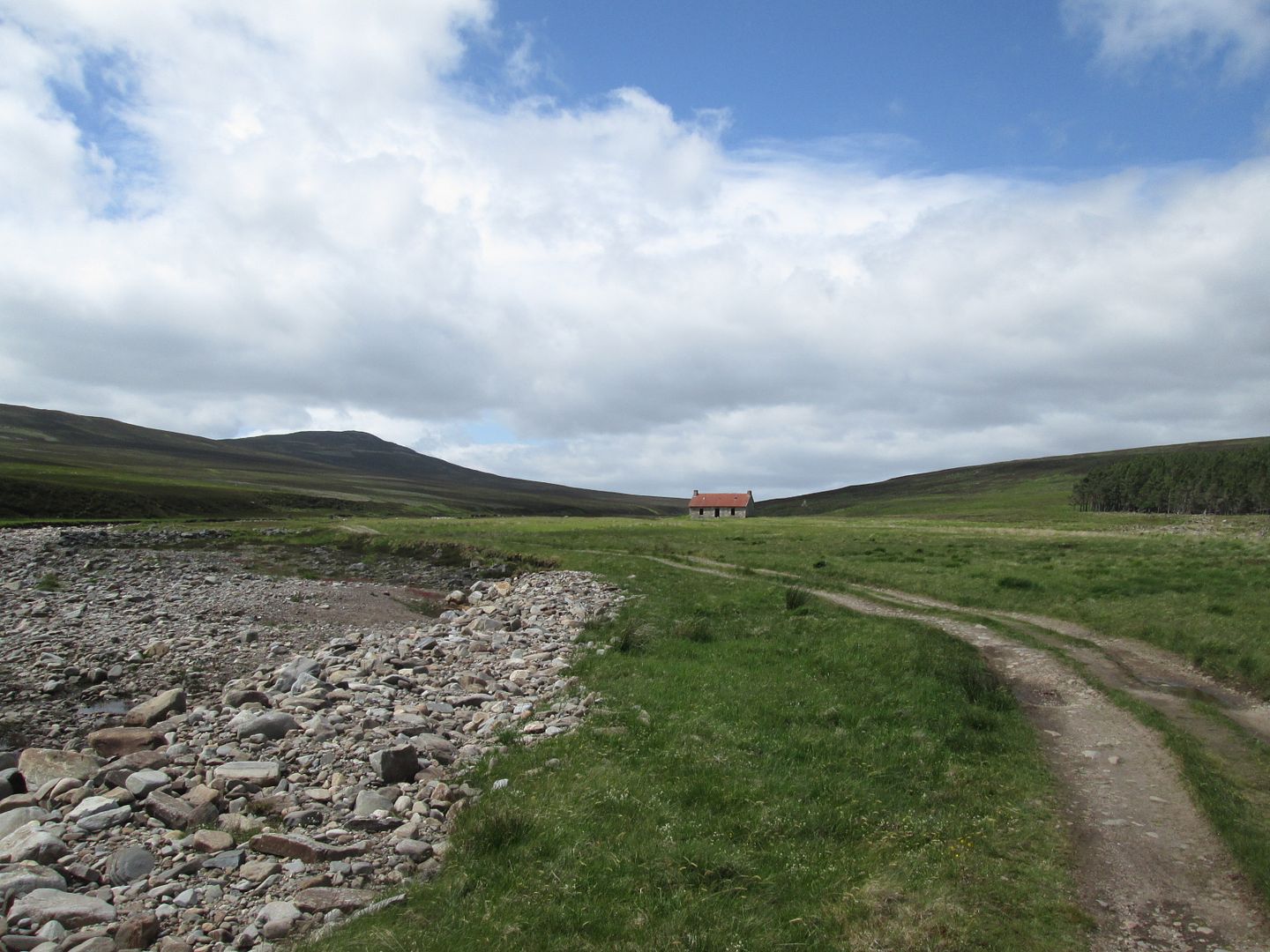 The Red Shed and the start of the long road to the Feshie
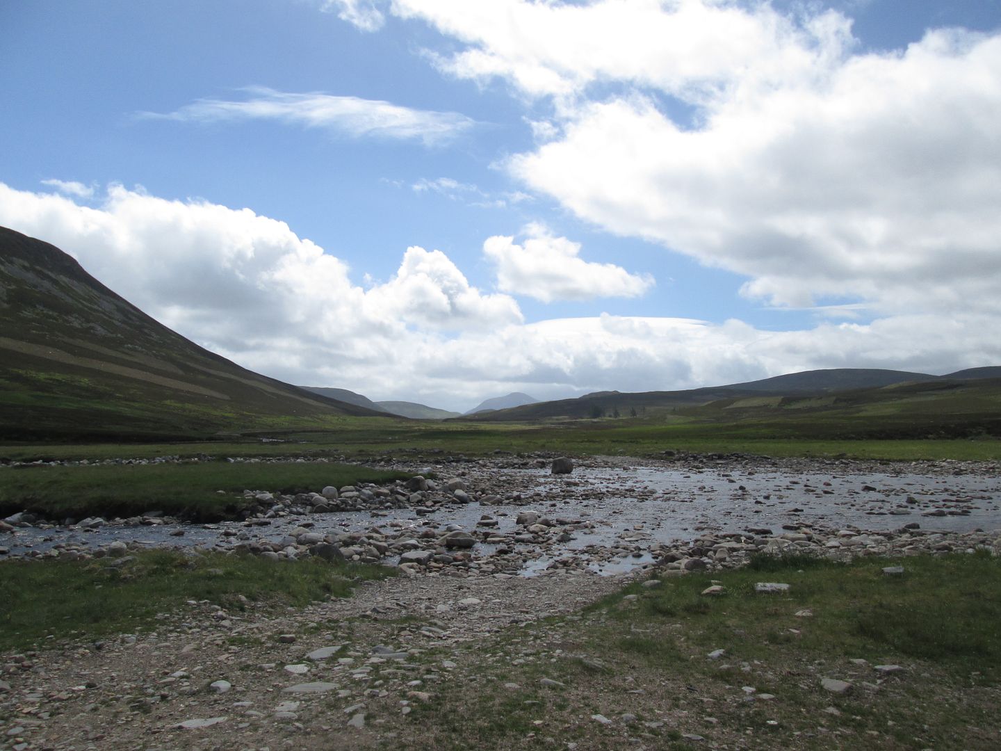
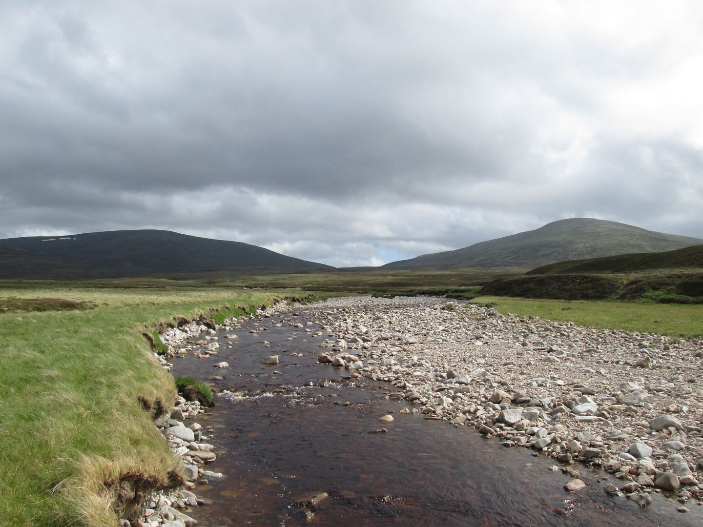
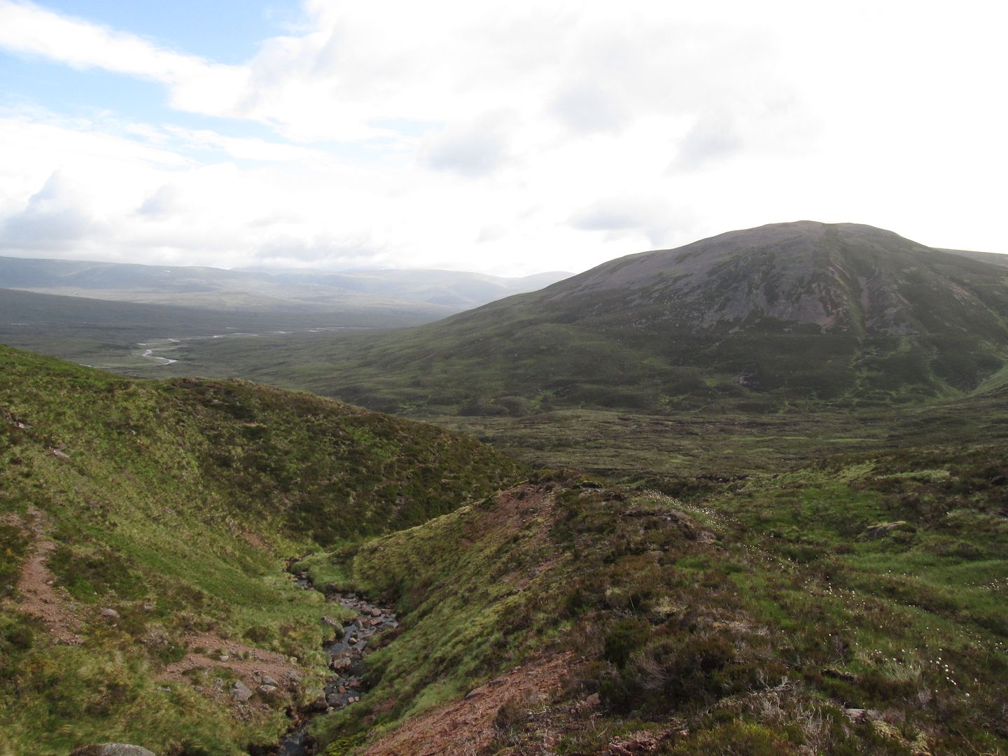
From the Red Shed the track turns back onto the vast bleak moorlands between the hills of the Tarf and Feshie and the western Cairngorm mountains. Someone once told me that the originally planned route for the A9 was to pass through here before it was eventually routed further west up through Drumochter. How different this place would have been! Sgarsoch and Fiddler certainly would not be the remote challenges that they are. The Drumochter hills would be an entirely different proposition as well.
The ruins of Geldie Lodge eventually appear across the river to our left, looking more and more sad and forlorn with every passing year. This is a wonderfully remote and wild part of the route but again it can tend to feel like it will never end and it is always a relief when the big bend in the Feshie comes into view - our camping spot for the night.
 Hello again old friends! Sgarsoch and Fiddler from the Day 2 campsite
The group were in about an hour or so behind us, one of the girls beginning to struggle badly with knee issues but stoically insisting that she was fine and good to carry on. Just as well really - I wouldn't envy Jacob the task of evacuating from here!
Dinner was again Chicken Tikka with more of Ainsley's possibly mind altering couscous. If he has been doctoring his couscous, I must be developing an immunity to its effects as I saw no rodents, pink flying elephants or little green men.
Jacob set about harvesting the impressive supply of old tree parts washed up along the dried up sections of riverbed and got a fire going out on the rocks, while I half heartedly helped him and read more Bruce before getting an early night in preparation for another morning raid.
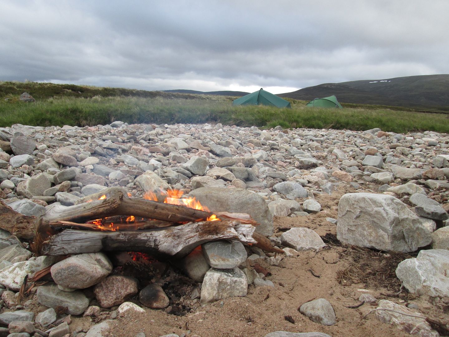 Textbook riverbed fireTuesday 19th June
 - 27km, 870m
Jacob opted for a lie in rather than a ridiculously remote Corbett raid so I was off on my own just after 5am, round the bend in the Feshie and across extremely rough ground towards Meall Tionail.
 Morning glory - Sgarsoch and Fiddler basking in the summer morning sunshine
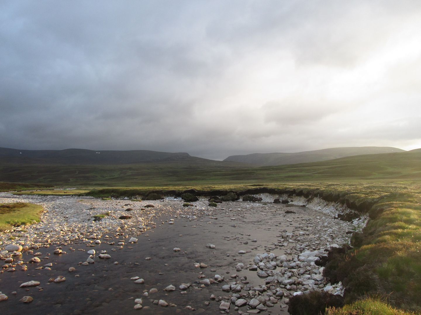 Looking north up the valley of the Eidart from the big bend in the Feshie
 First target - Meall Tionail
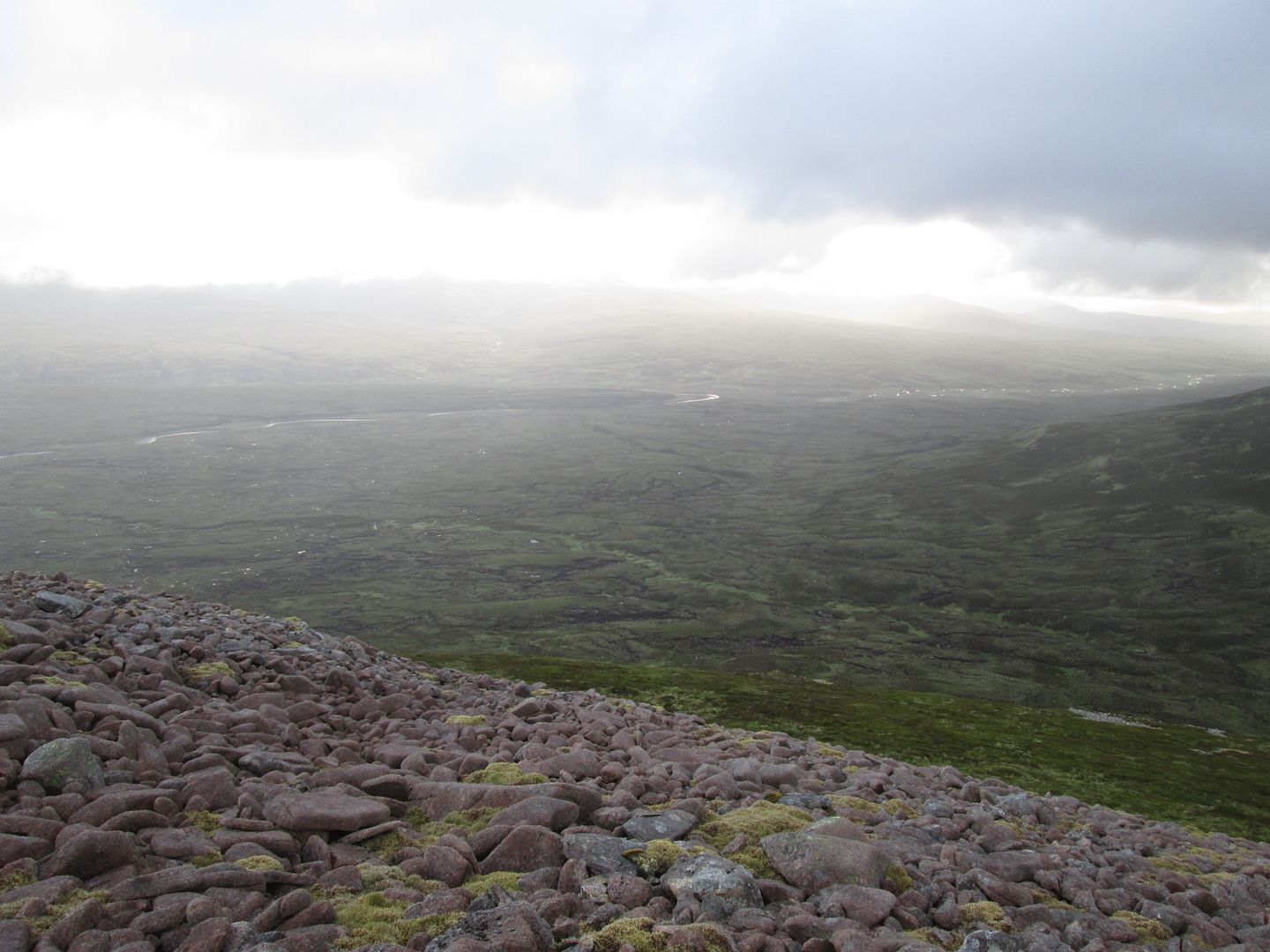
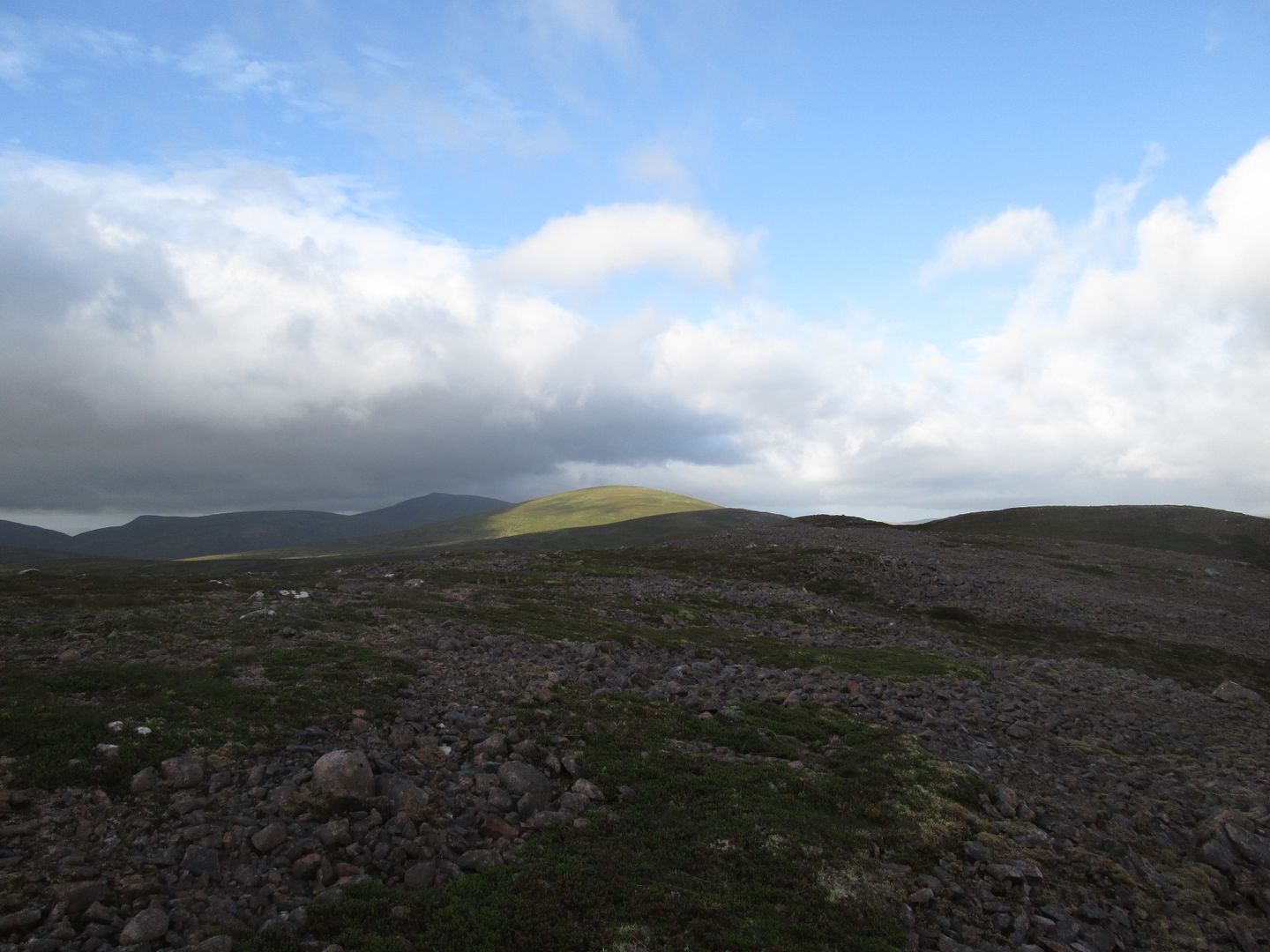
I headed directly into the coire between Tionail and Fiddler, heavy work over this terrain, clearly easier for the large herd of deer that I scattered on the way, aiming to climb the coire headwall before doubling back along the flat summit plateau to the cairn. From there it looked like the hardest work was done with a long but relatively straightforward undulating walk along a number of bumps to the Corbett summit. It looked to all intents and purposes like a beautiful summer morning but it was bitter and I needed to resort to two jackets, gloves and a woolly hat just to avoid freezing solid!
 Looking back to the campsite
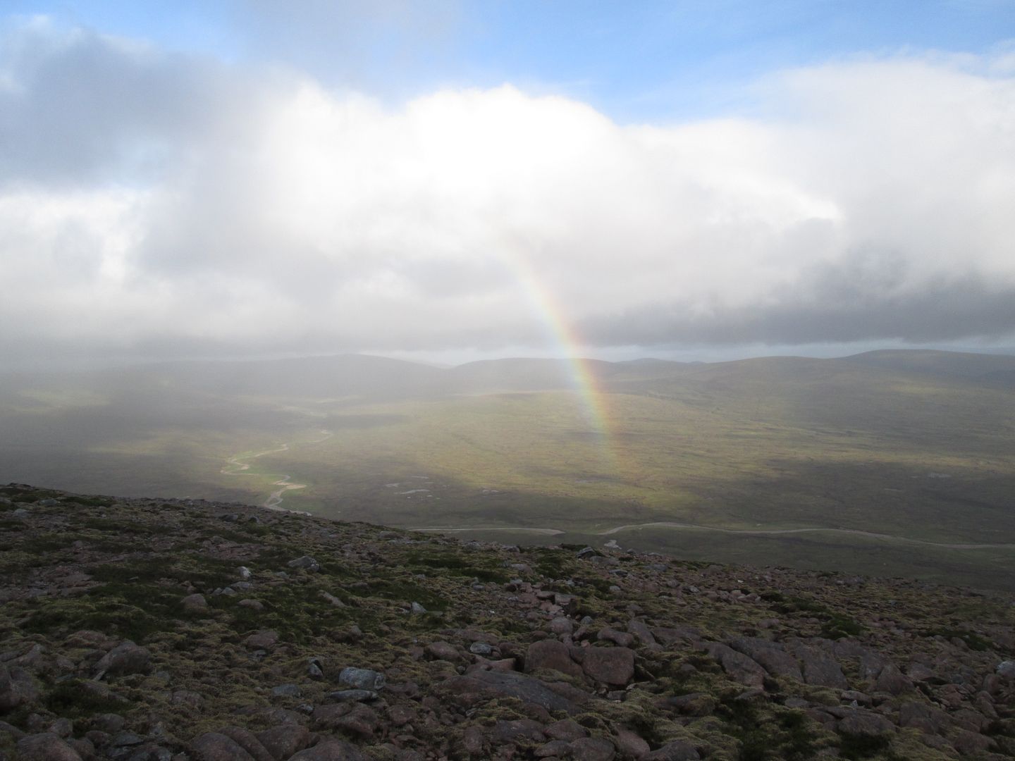 Rainbow over the headwaters of the Feshie
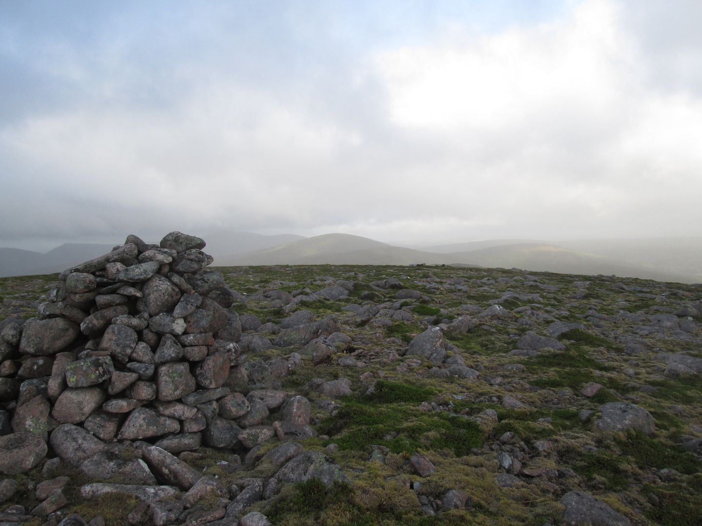 The road ahead from the summit of Meall Tionail
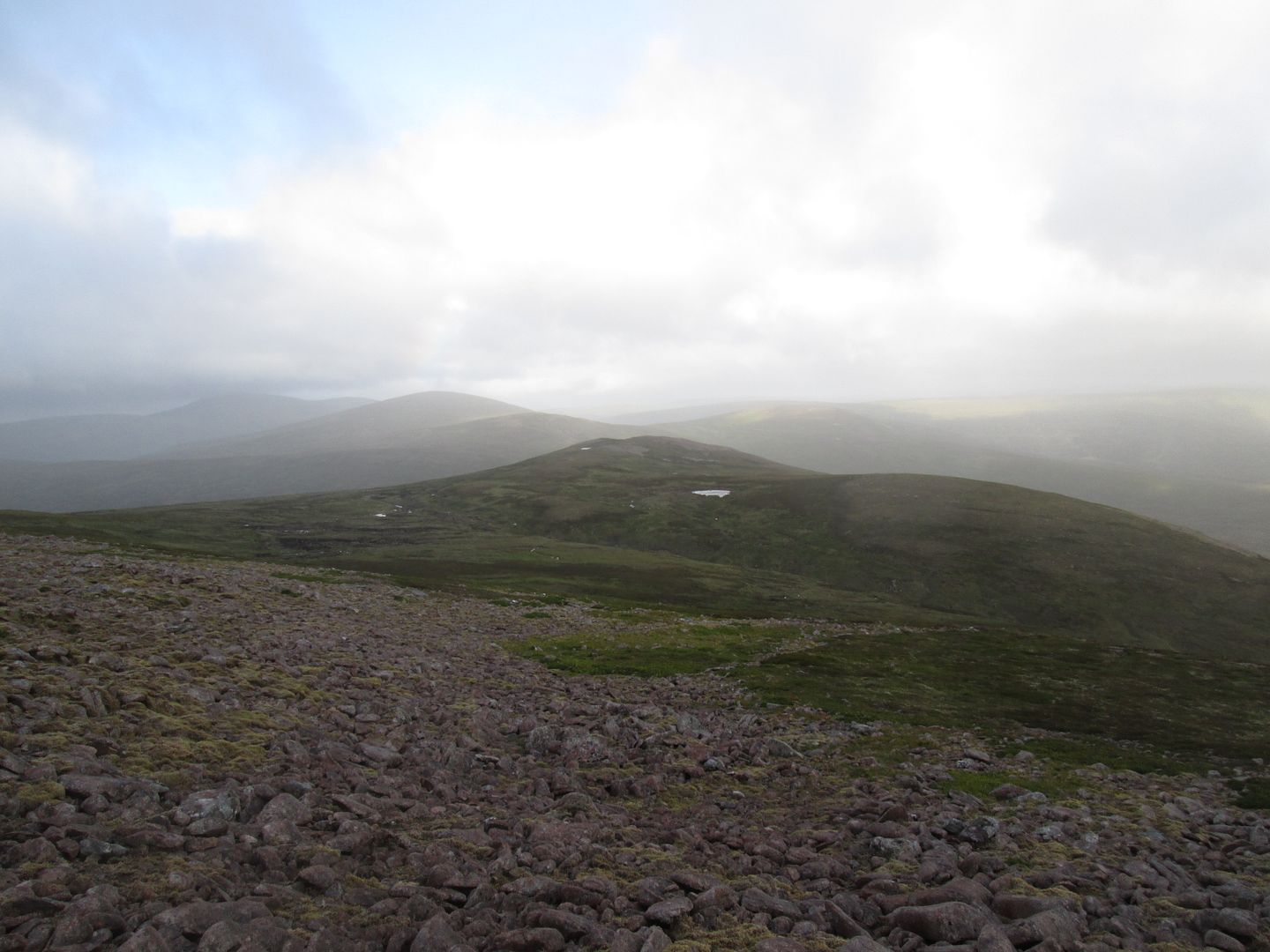 Descending from Tionail
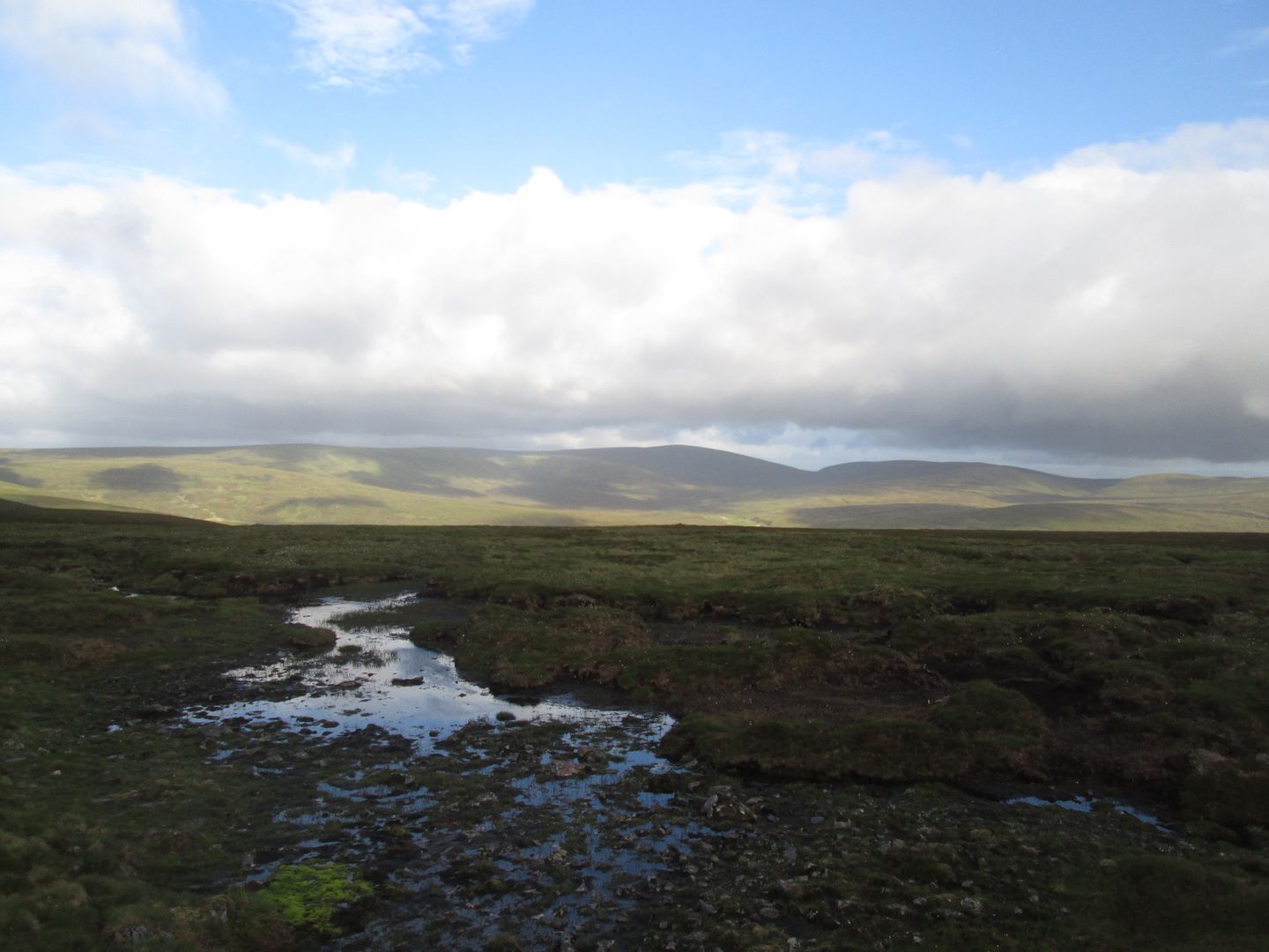 Looking towards Leathad an Taobhain
This truly is a wild, remote, desolate place but heaven on Earth for all that.
Eventually one of the most remote and inaccessible Corbetts in the land had fallen and I was faced with the descent back to the Feshie and the long and no doubt rough walk back to the tents.
 Sunshine on Beinn Bhreac - it may look warm but it's Baltic!
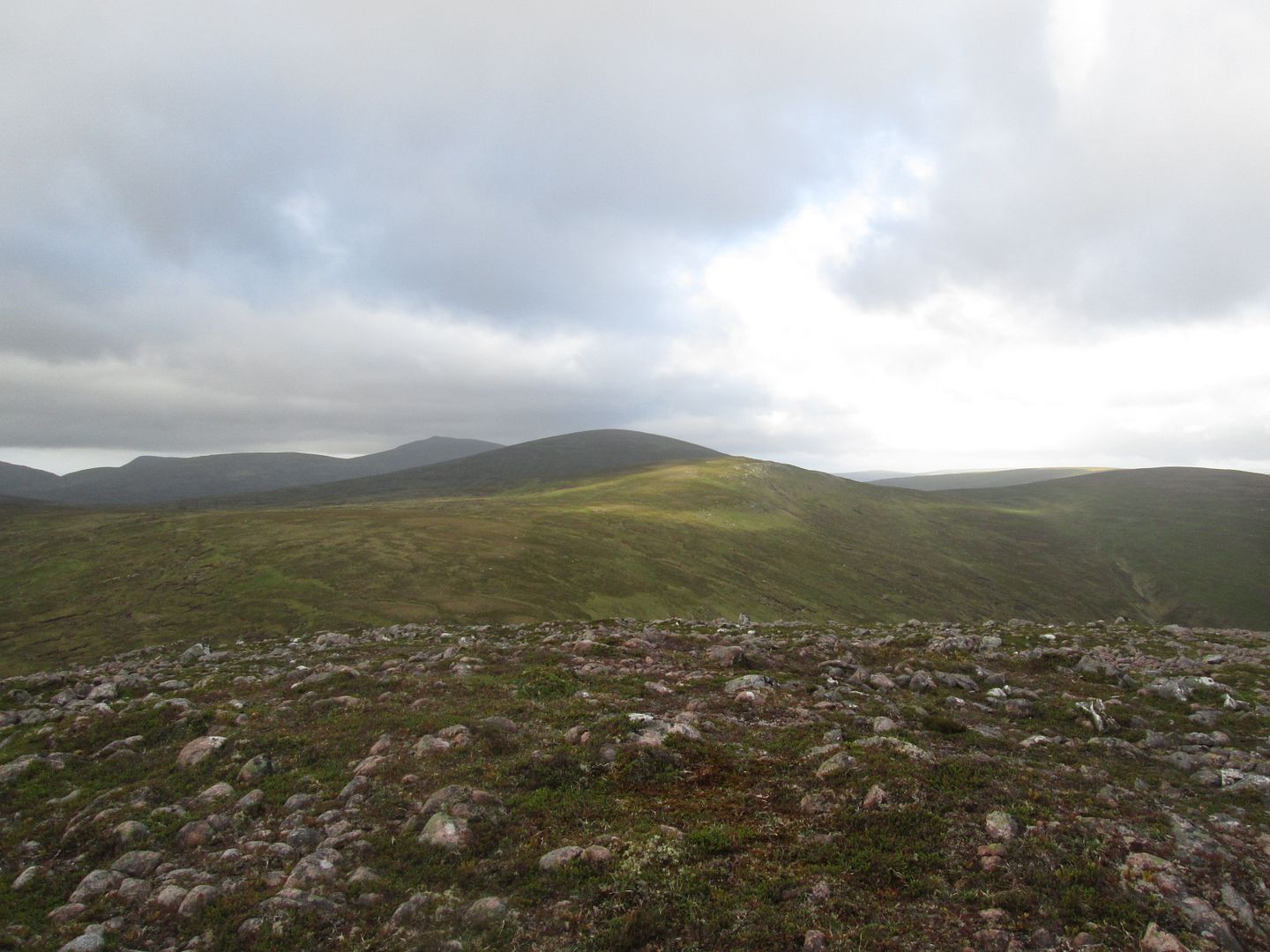 Skirting Coire Chreagaich
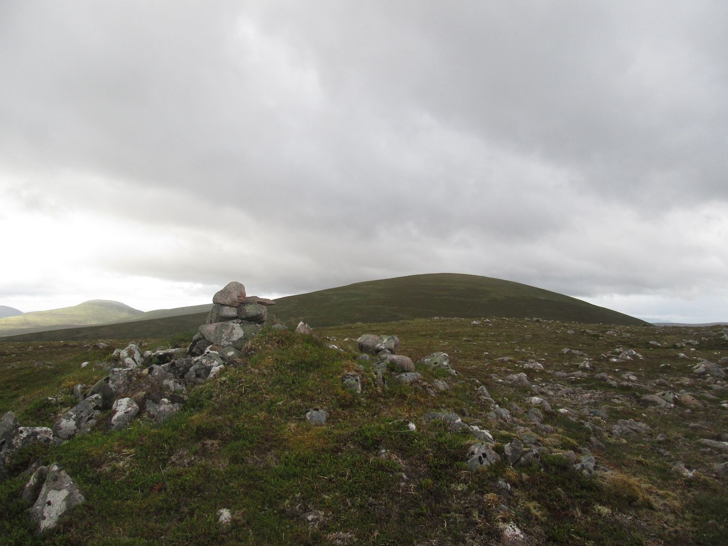 Almost there - the Corbett from the 845 spot
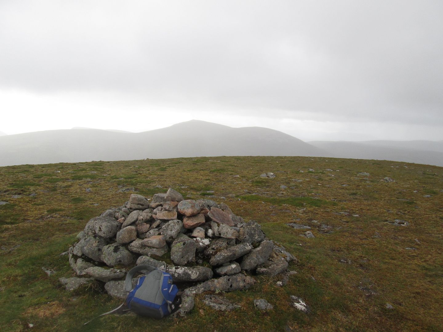 Made it - Beinn Dearg from the summit of Beinn Bhreac
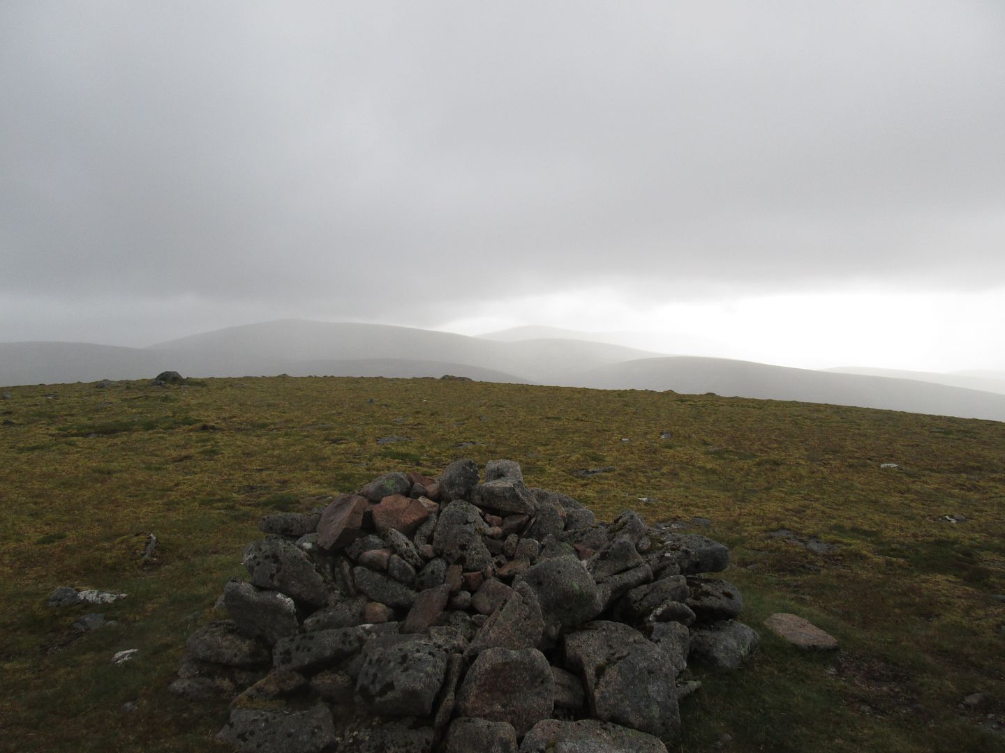 Back towards Fiddler
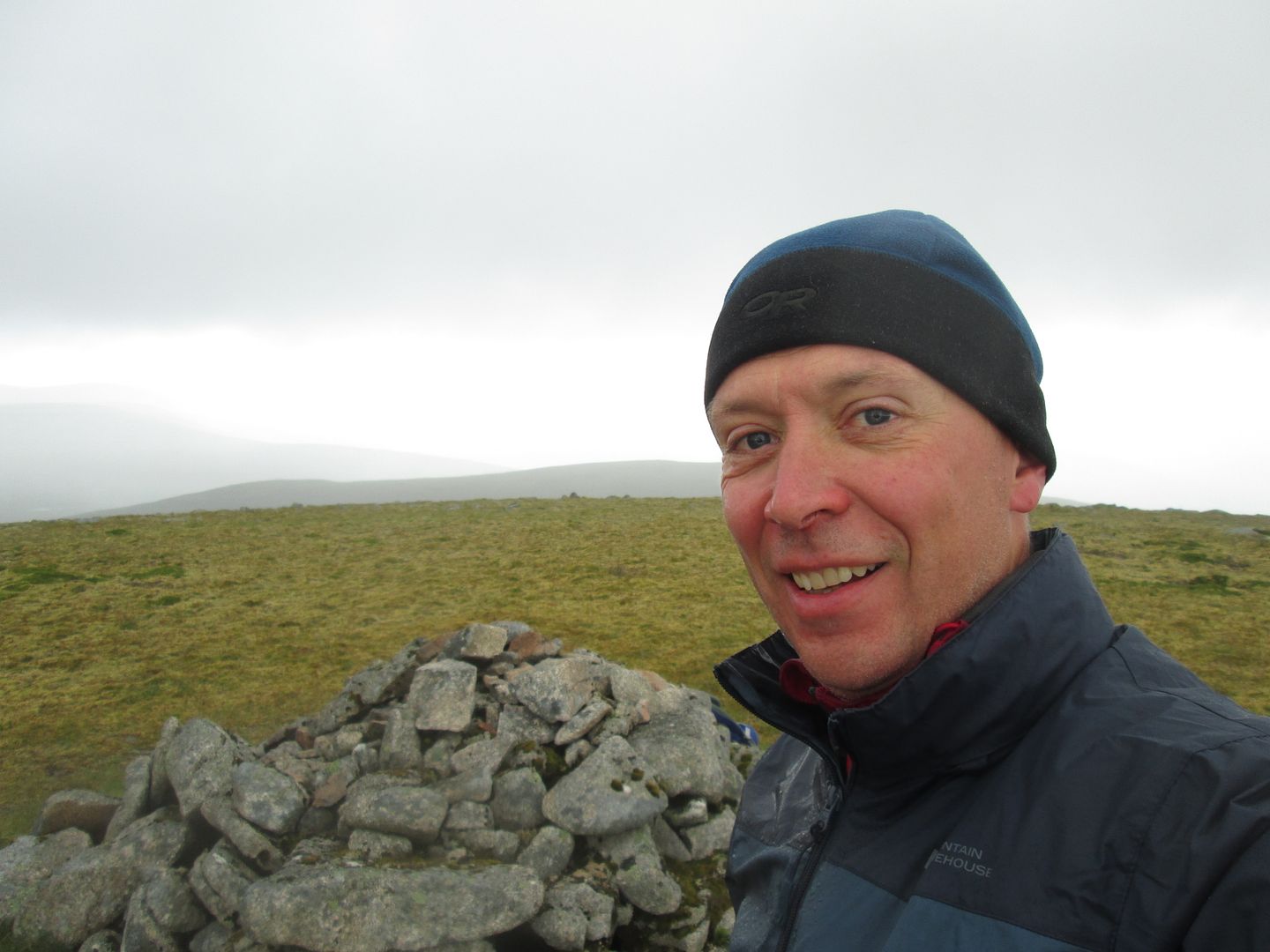 Wooly hat weather in mid summer
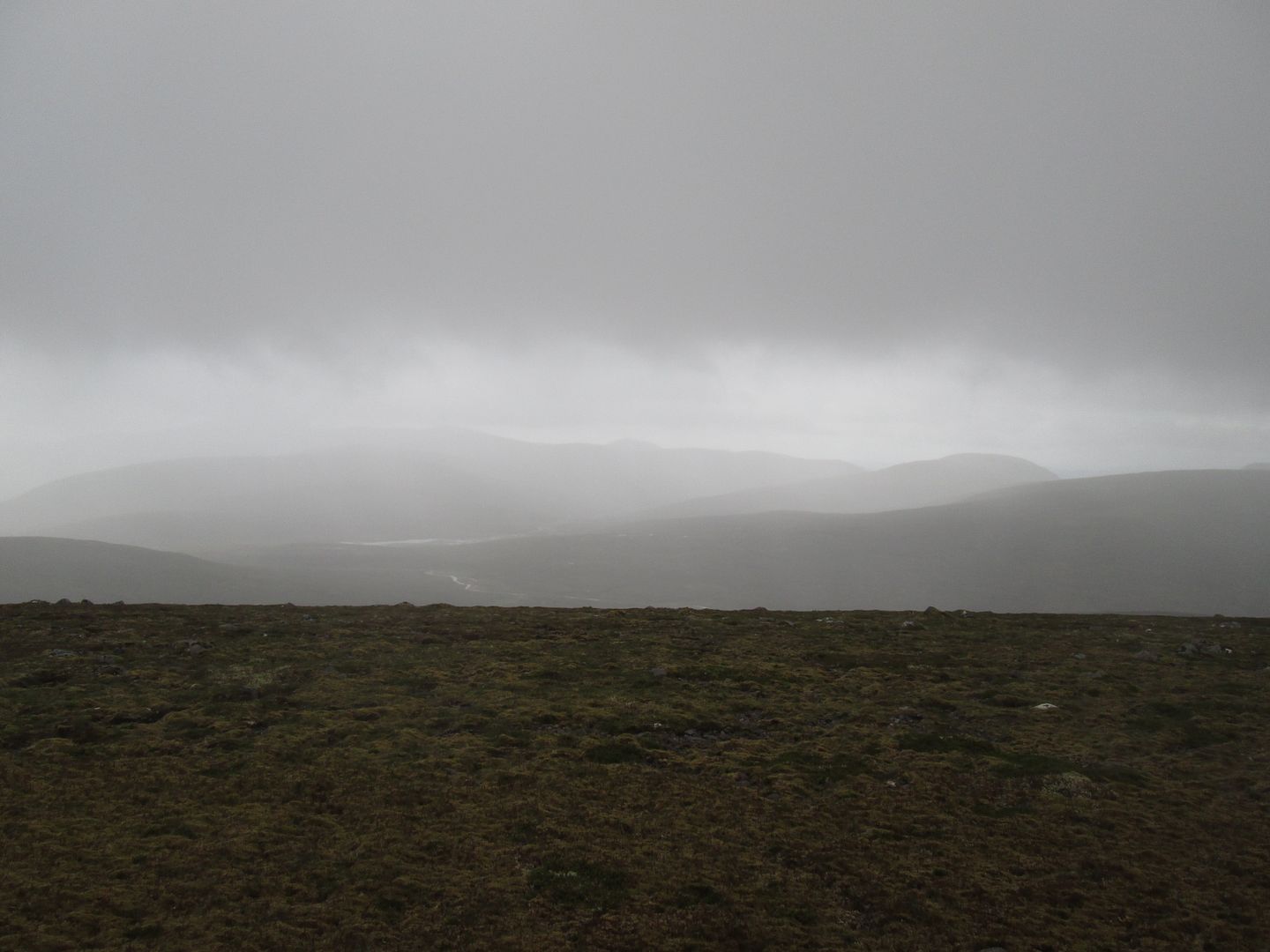 Loch Mairch, Beinn Mheadhonach and Carn a'Chlamain
I took a pretty straight line from the summit through Coire Chreagaich to pick up the river and the trudge home. I arrived to see the group heading off and Jacob attempting to resuscitate the fire from last night, unsuccessfully as it transpired.
 Meall Tionail from the descent through Coire Chreagaich
 Back at the Feshie but it's a long way back still!
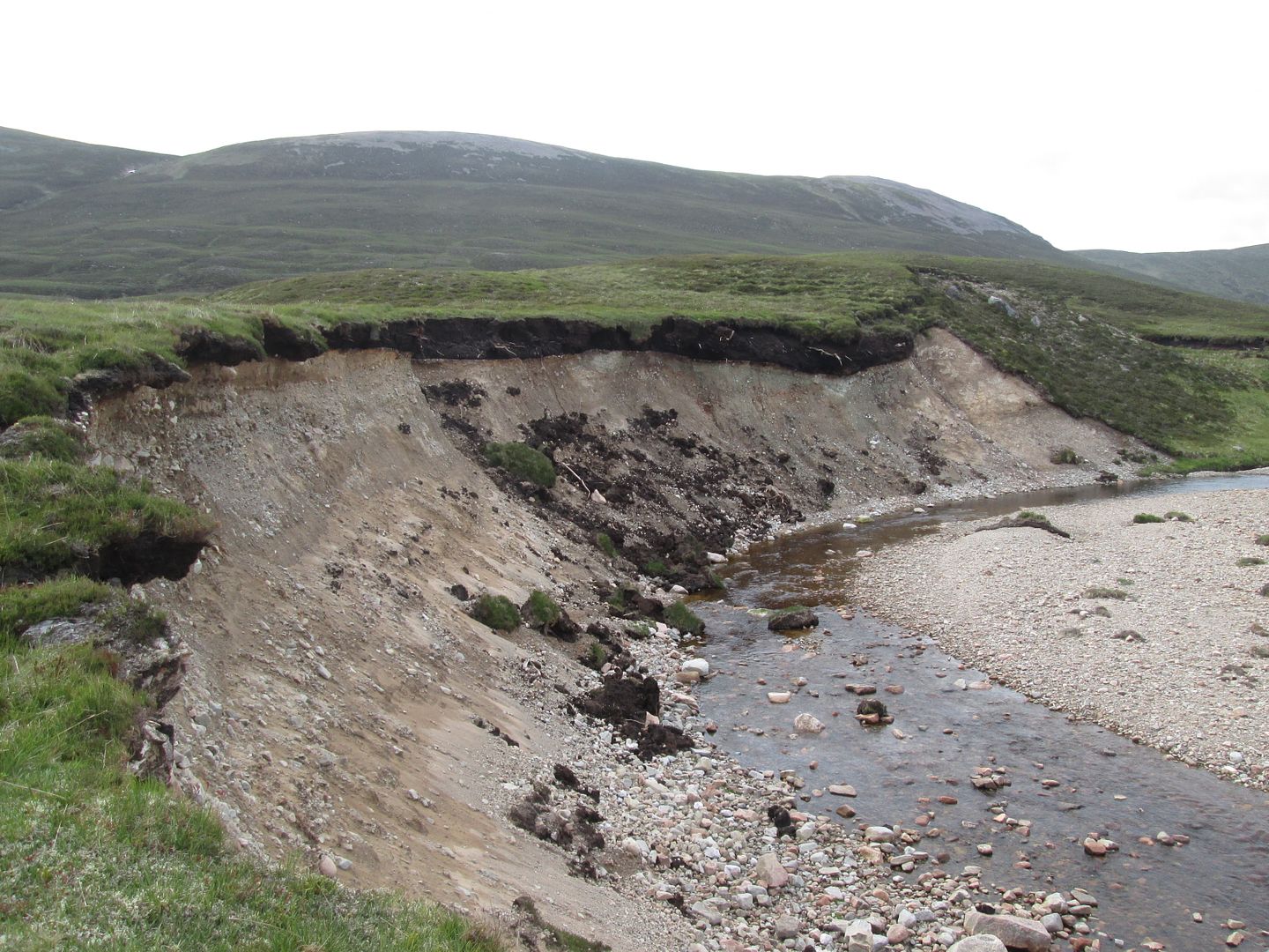 Best not to get too close to the edge!
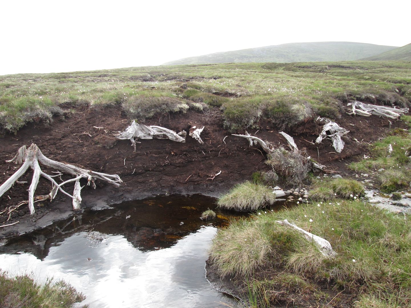 Ancient tree stump graveyard
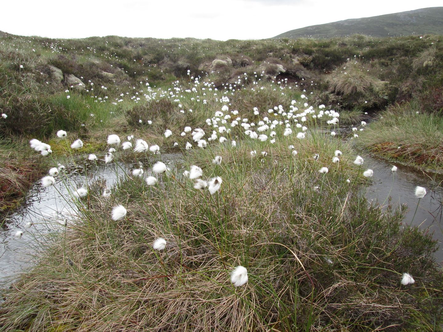 I love a bit of bog cotton in the morning!
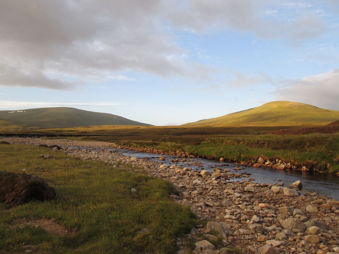
I made breakfast and got packed up ready for the off and the relatively much shorter day 3 through to Ruigh Aiteachain. I had told the group the previous evening that despite low water levels, heads would roll if they attempted to ford the Eidart where it joins the Feshie rather than take the detour up to the airy metal bridge above the Falls of Eidart some half a kilometre or so upstream. Once packed up, Jacob and I set off and promptly forded the Eidart. Do as I say kids, not as I do!
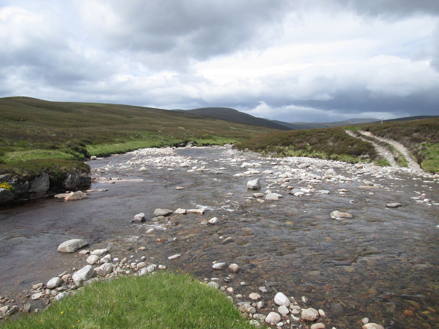 Fording the Eidart/Feshie
Once across the Eidart and into the upper reaches of Glen Feshie, the character of the walk starts to change dramatically. This is one of the finest sections of the route, although a few sections high on the slopes above the river are badly eroded, overgrown and exposed, with evidence of large landslides having torn down the hillside into the Feshie below. If I do this route again (who am I kidding!!!!???? -
when I do this route again!) I am going to bring secateurs for parts of this section!
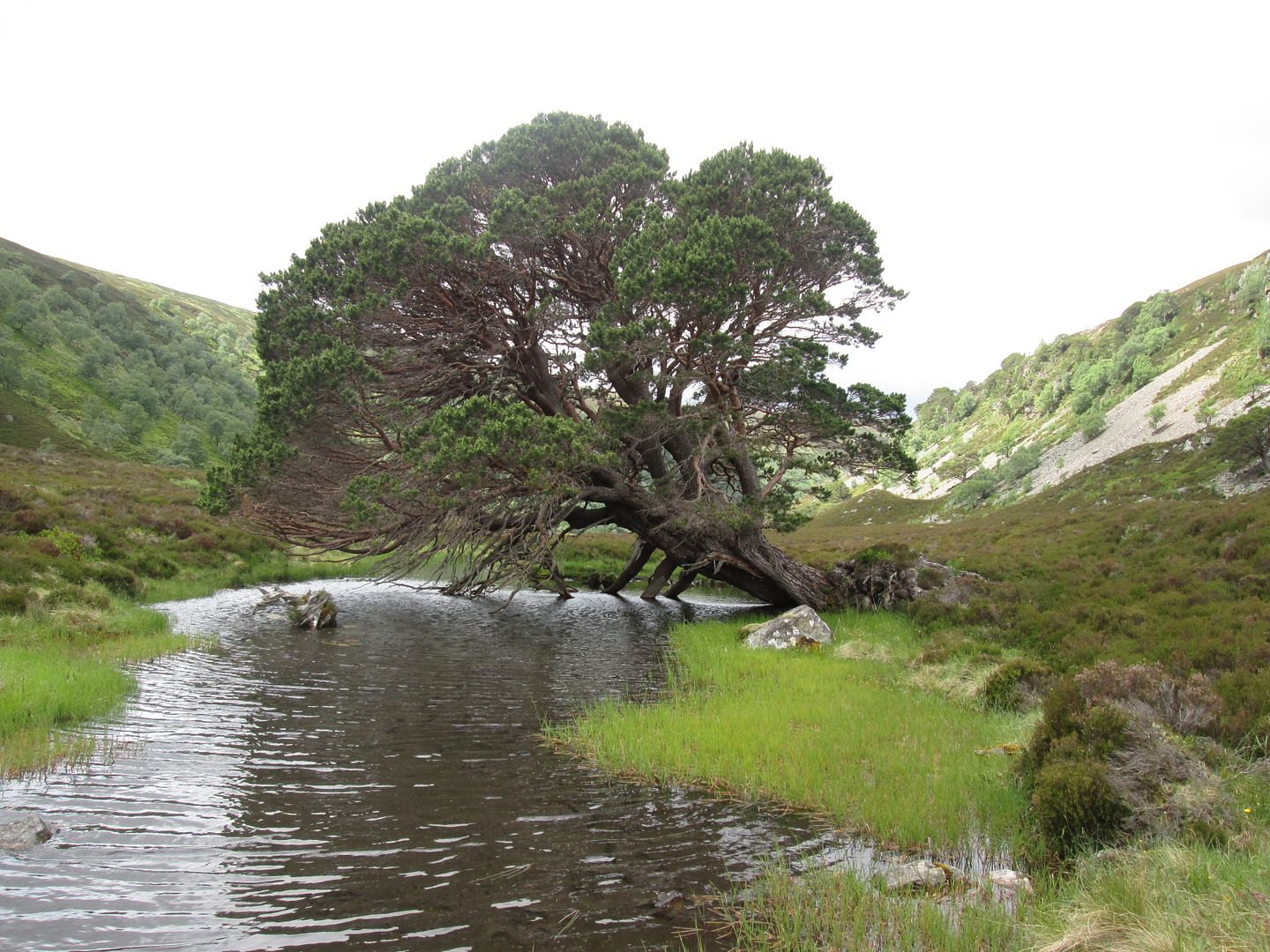 I swear this old tree leans a few inches closer to the water each year!
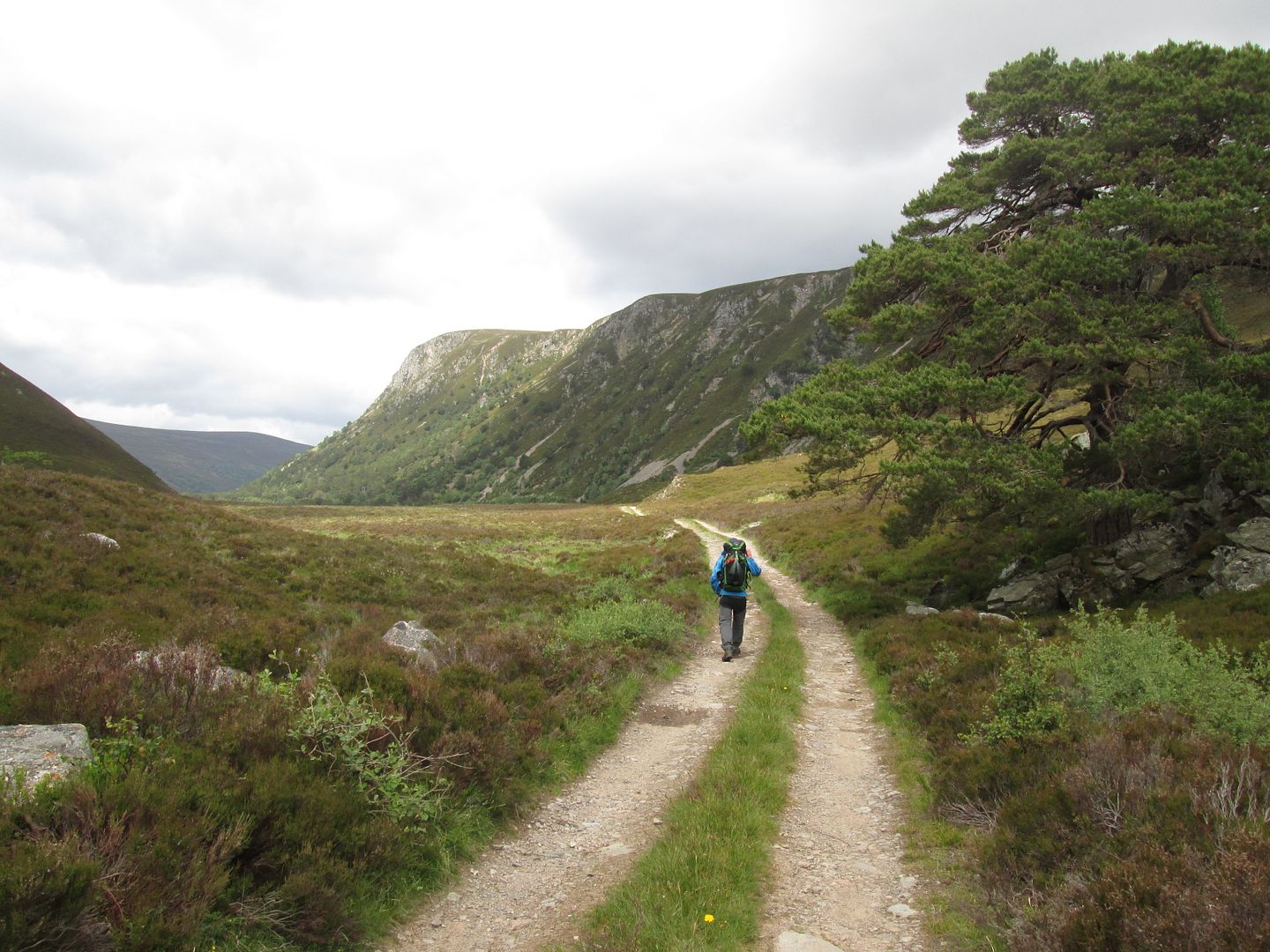 Upper Glen Feshie
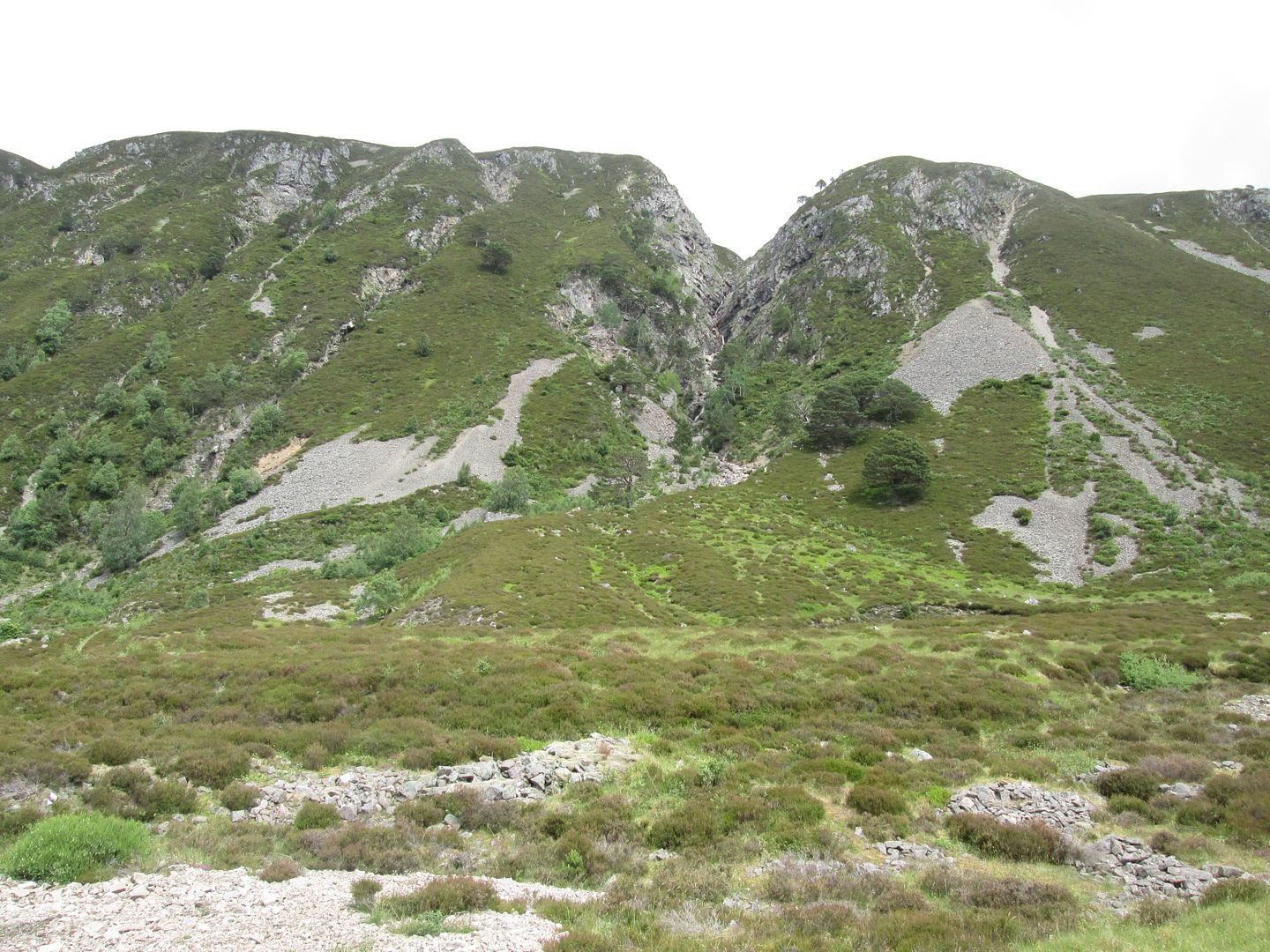 The cliffs of Creag Bheag
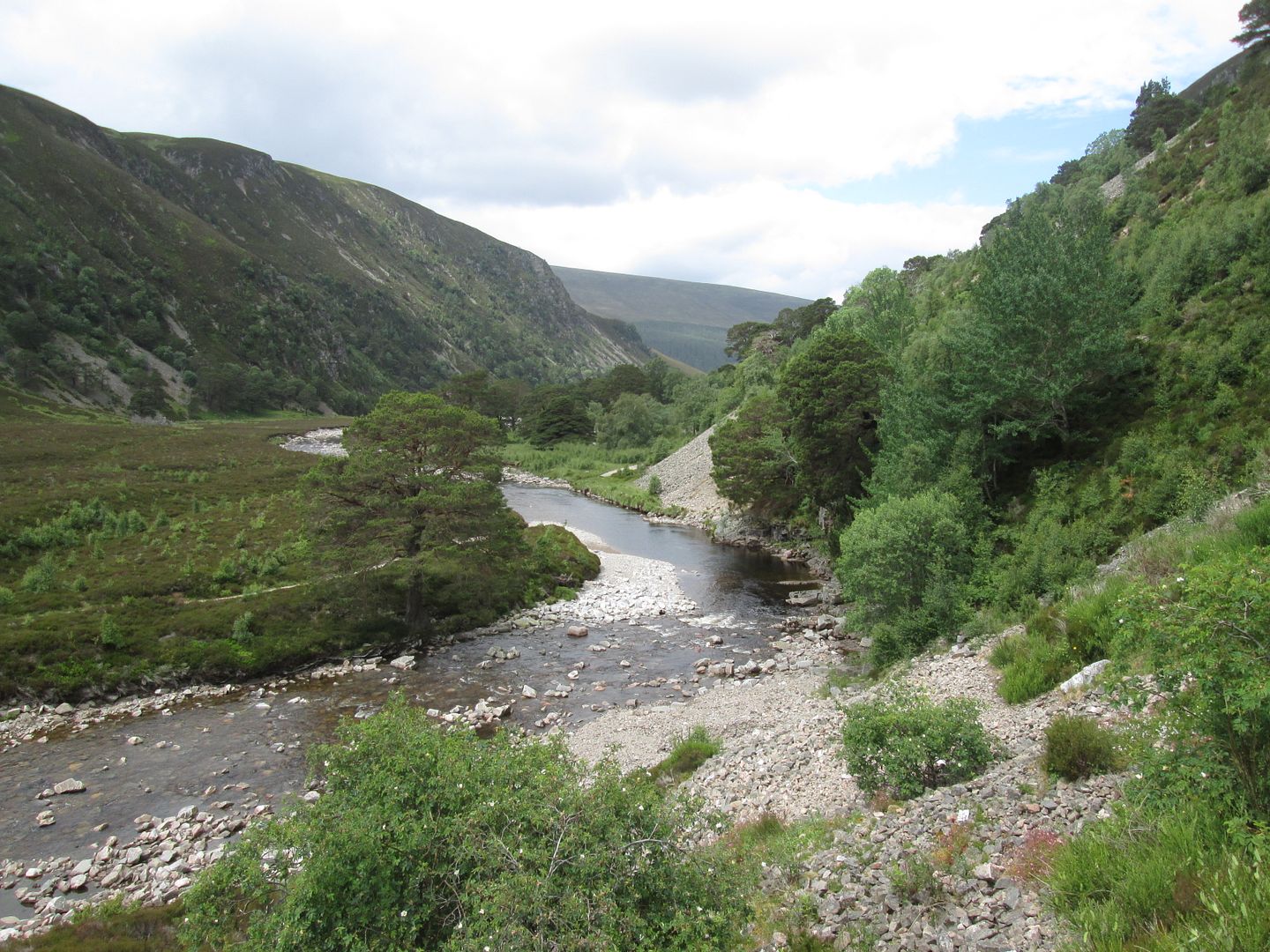 Onto one of the tricky bypass path sections
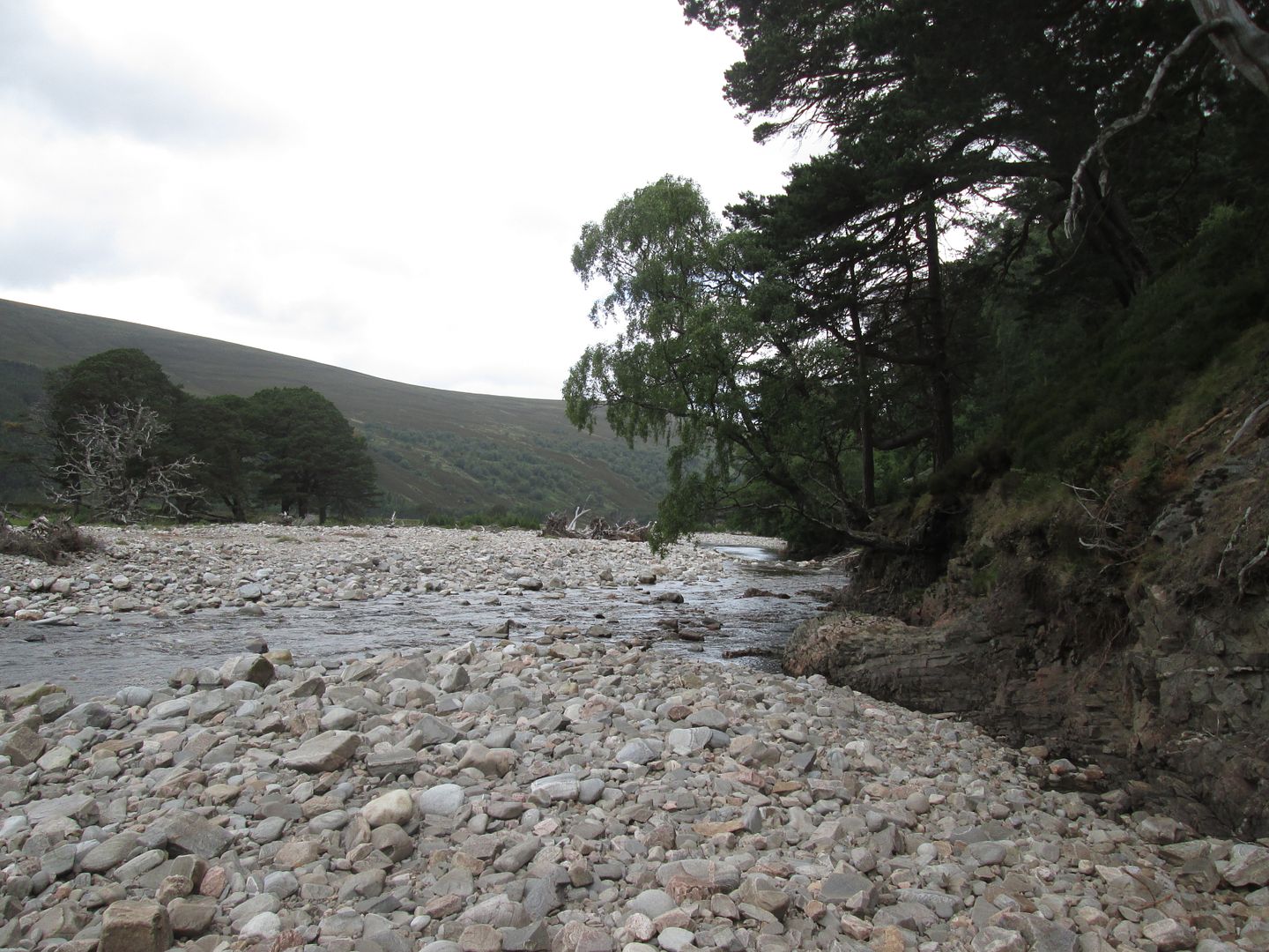 Typical River Feshie scene in the middle of a prolonged dry spell
Last year when we camped at Ruigh Aiteachain they were almost finished the renovation work and I was keen to see the end results. It did not disappoint although this was probably due in part at least to having recently spent a night in the rather dark and compact confines of Corrour!
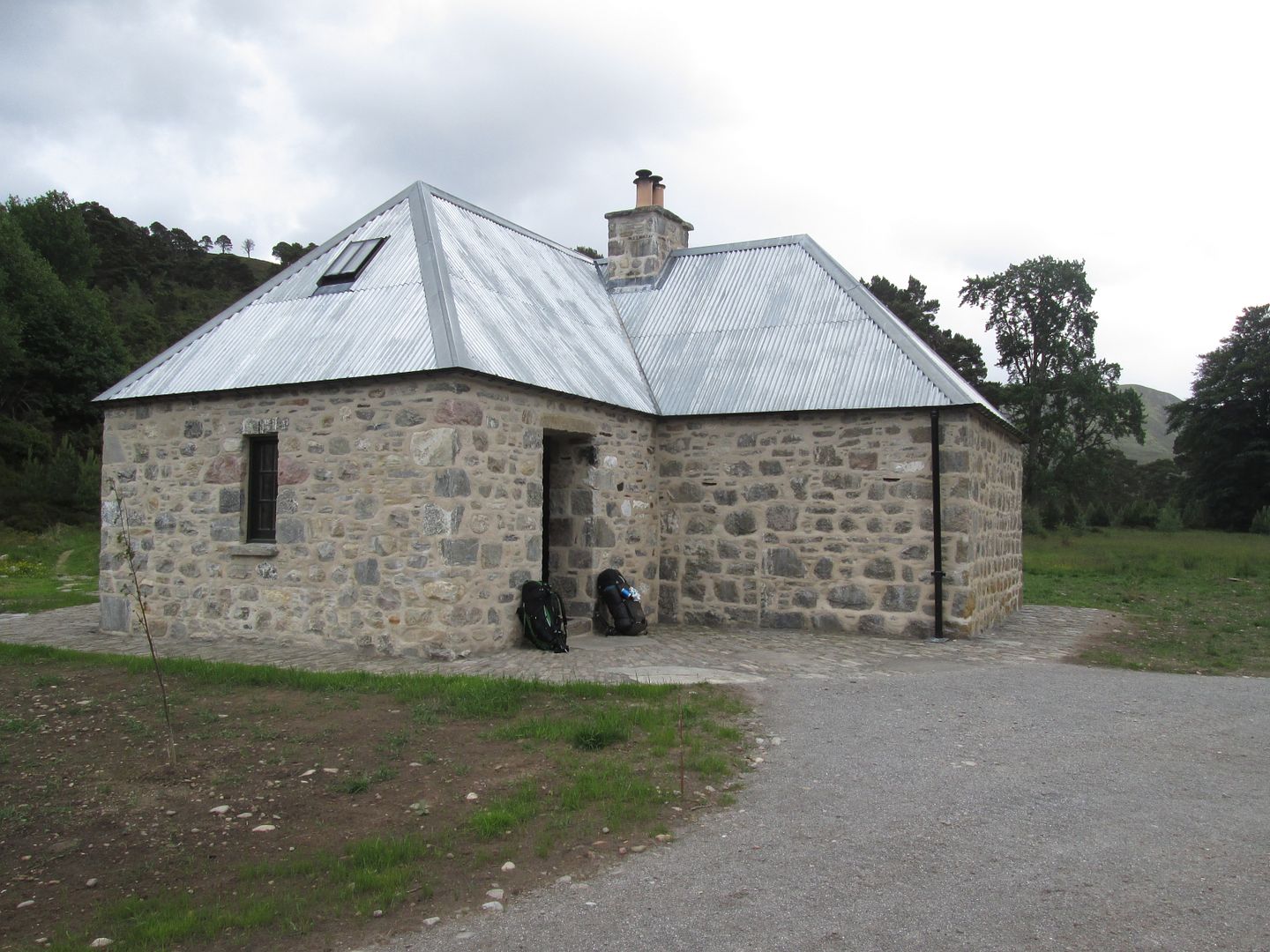 The all new Ruigh Aiteachain
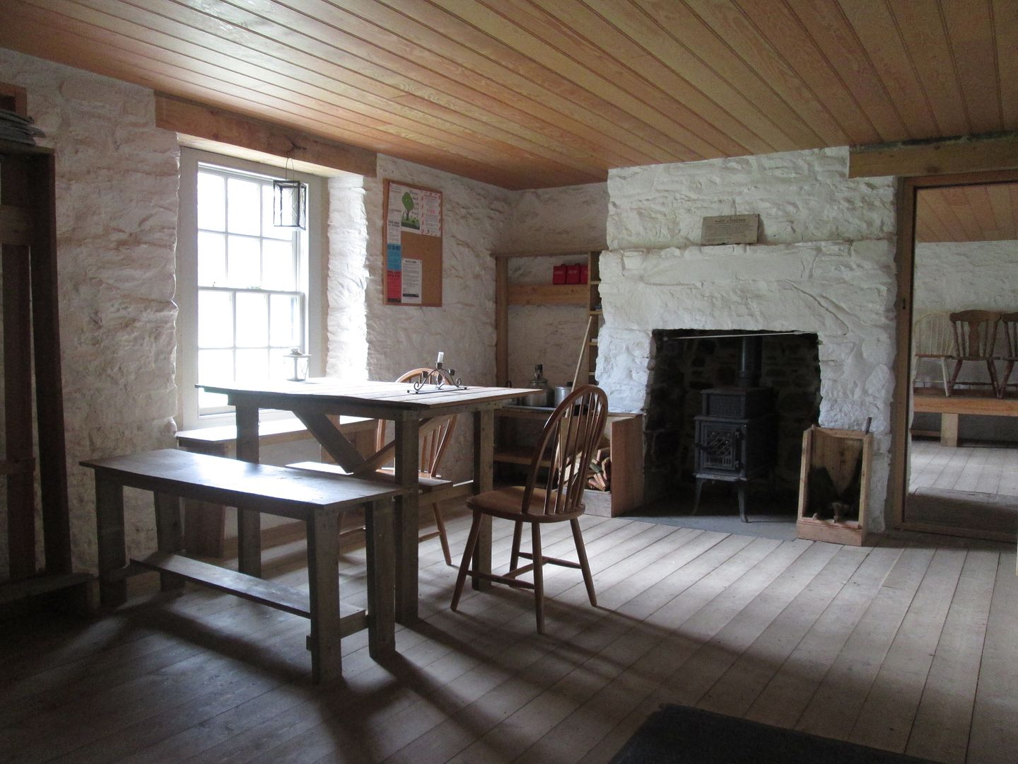 One of the main public rooms
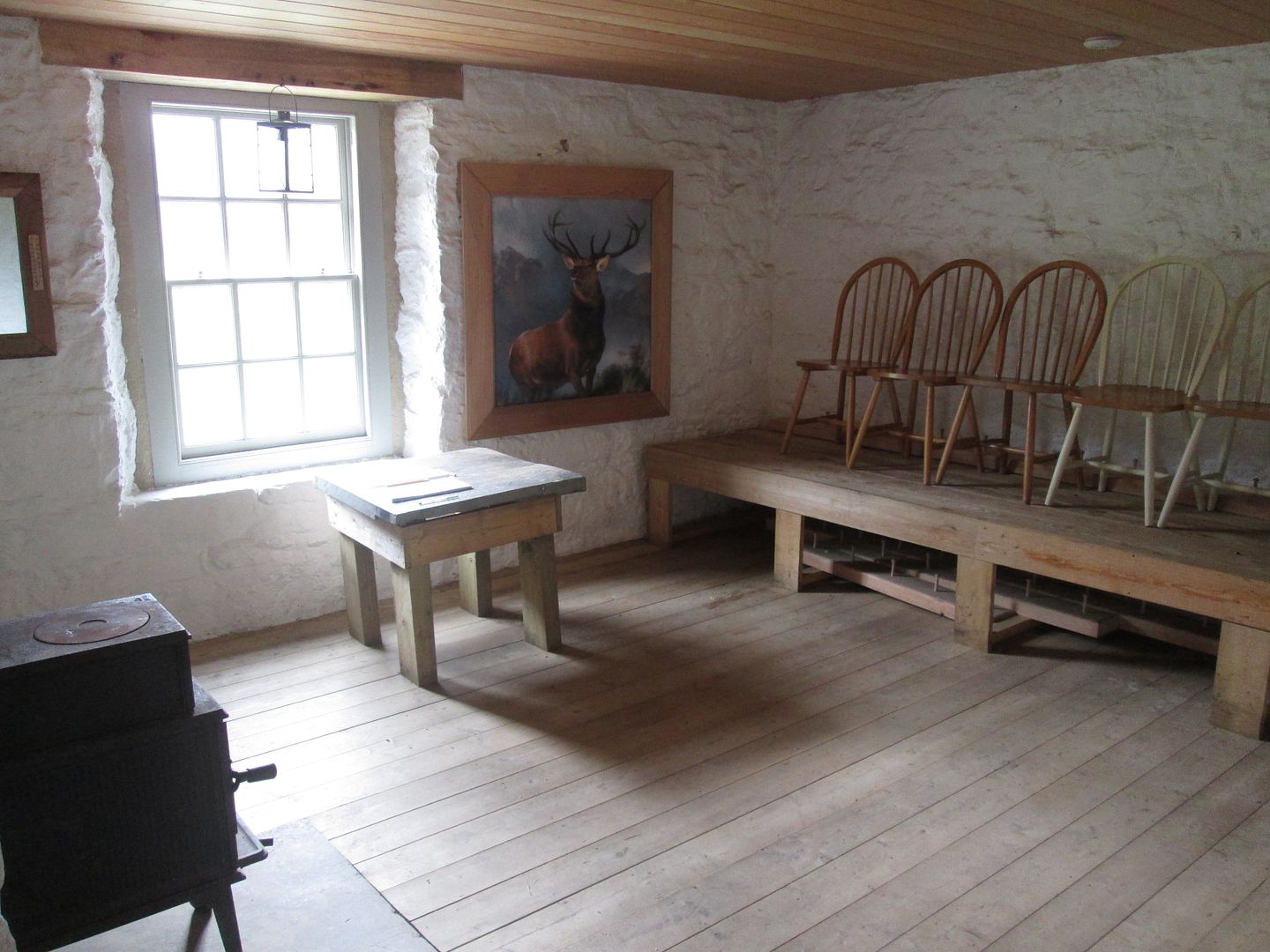 The other one, complete with Monarch of the Glen, strangely enough.
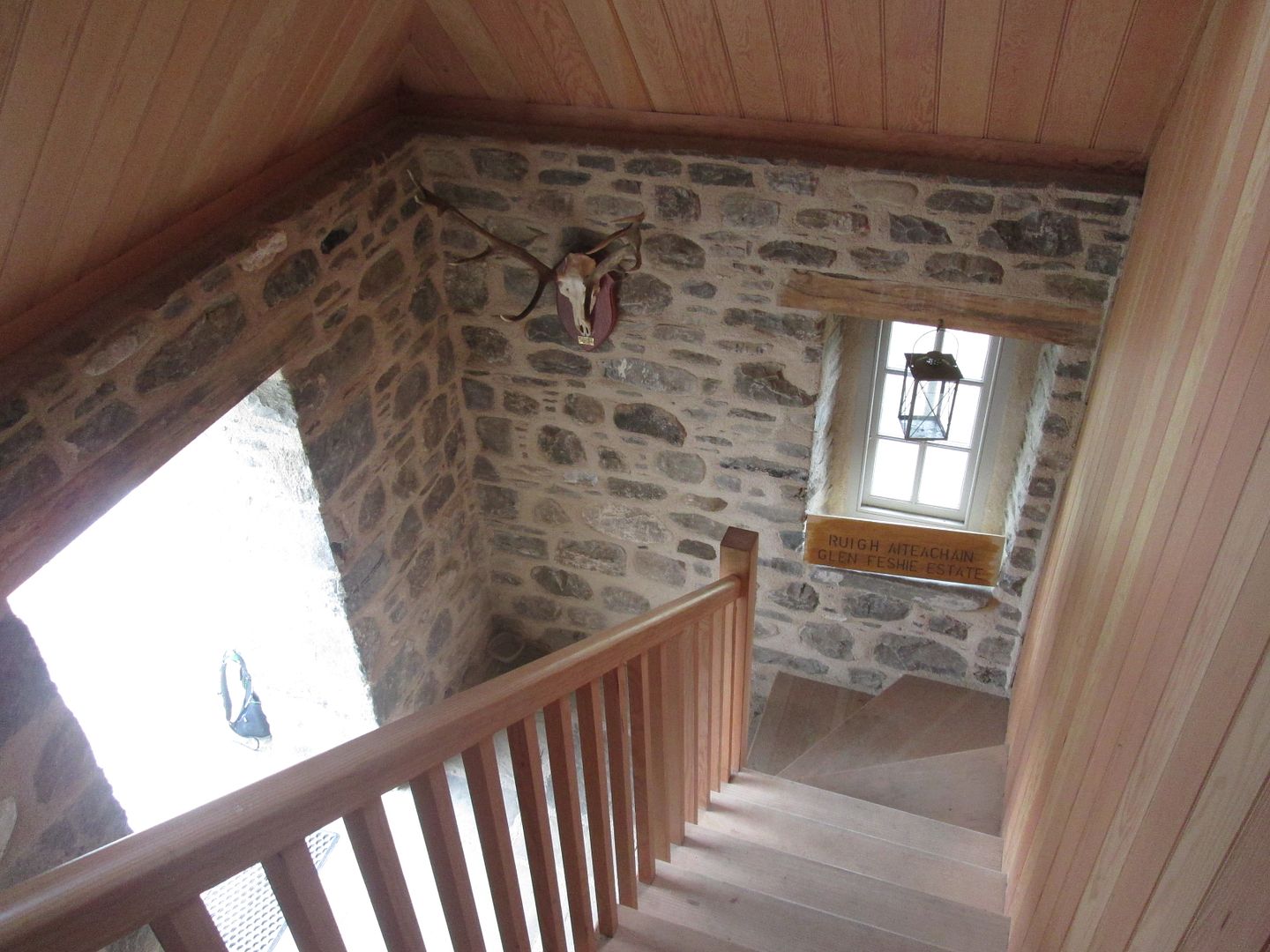 Stairs are a useful addition - definitely helps with access to ........
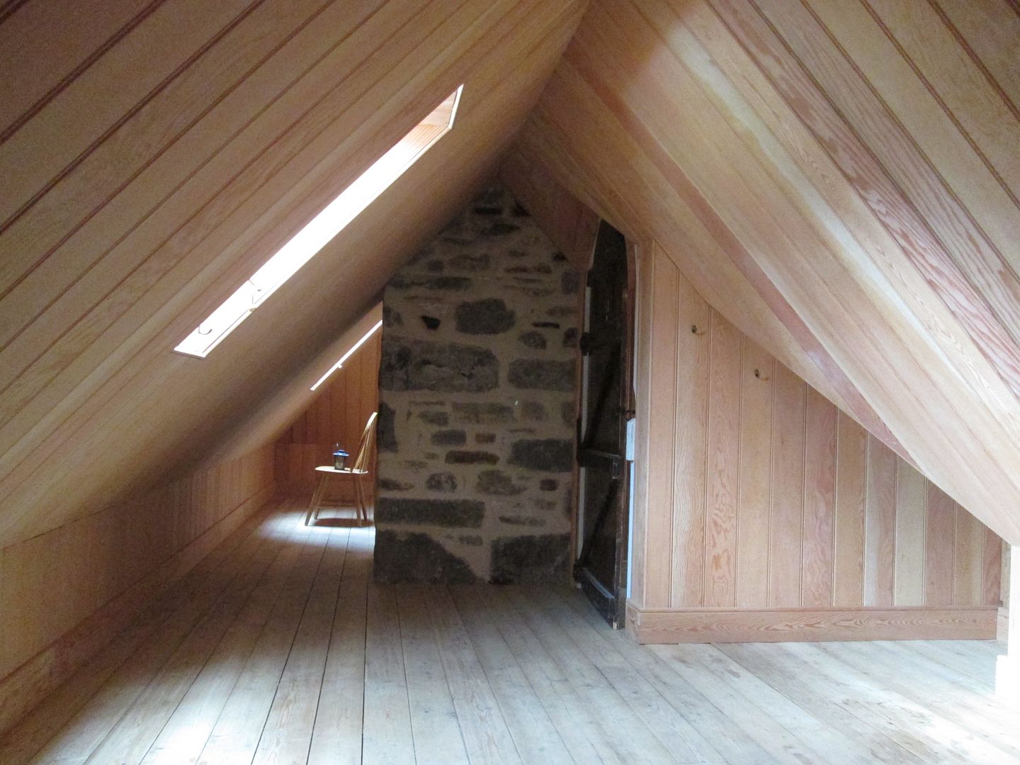 ......the sleeping quarters
No one seemed interested in the option of a quick bimble up the track onto Mullach Clach a'Bhlair, least of all me so I settled down to some crosswords, more Bruce and a variation on the previous two dinners. No chicken tikka tonight - just couscous. And no more hallucinatory experiences!
Wednesday 20th June - 17km, 180m
Day 4 of a Gold expedition is always a bit of an anti-climax, especially on this route, when it always seems to be raining, and today was no exception. After a couple of kilometres alongside the Feshie, the route quickly takes on a much less remote feel as it follows forestry tracks and begins the long gradual descent down to Bridge of Tromie for the last few kilometres along the tarmac into Kingussie.
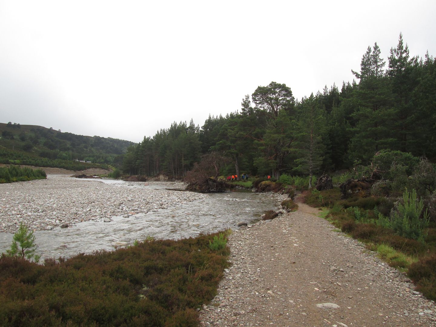 Where the Feshie has eaten the track
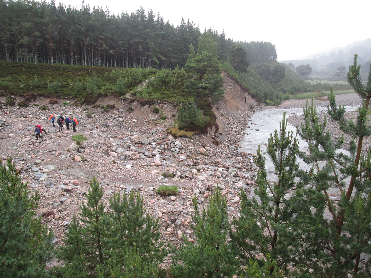 Crossing the Grand Canyon
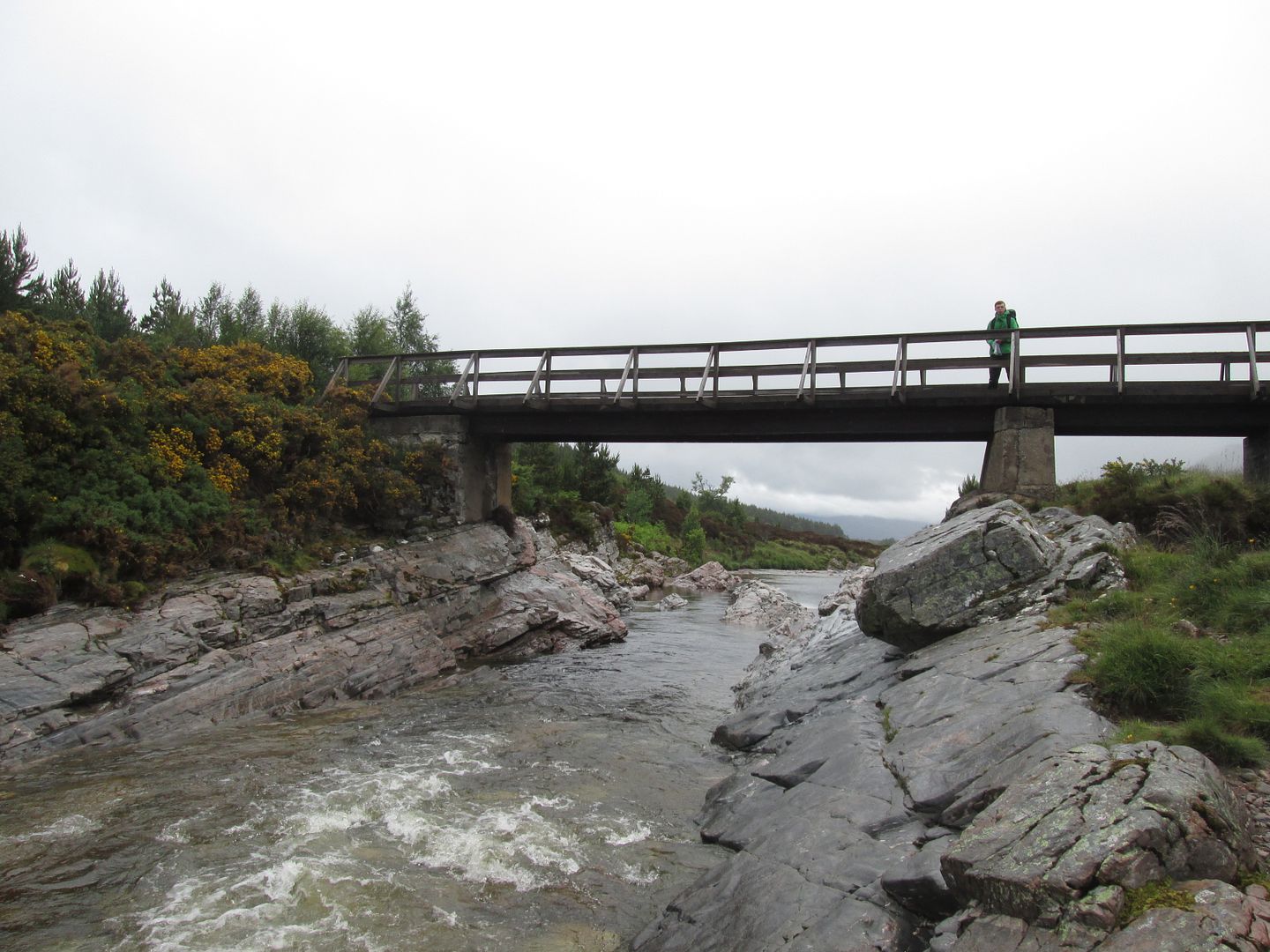 Bridge just before Stronetoper
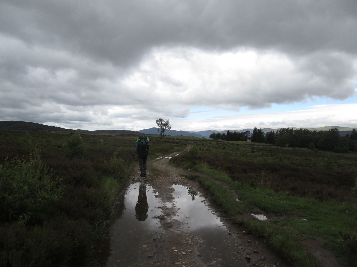 Approaching Drumguish
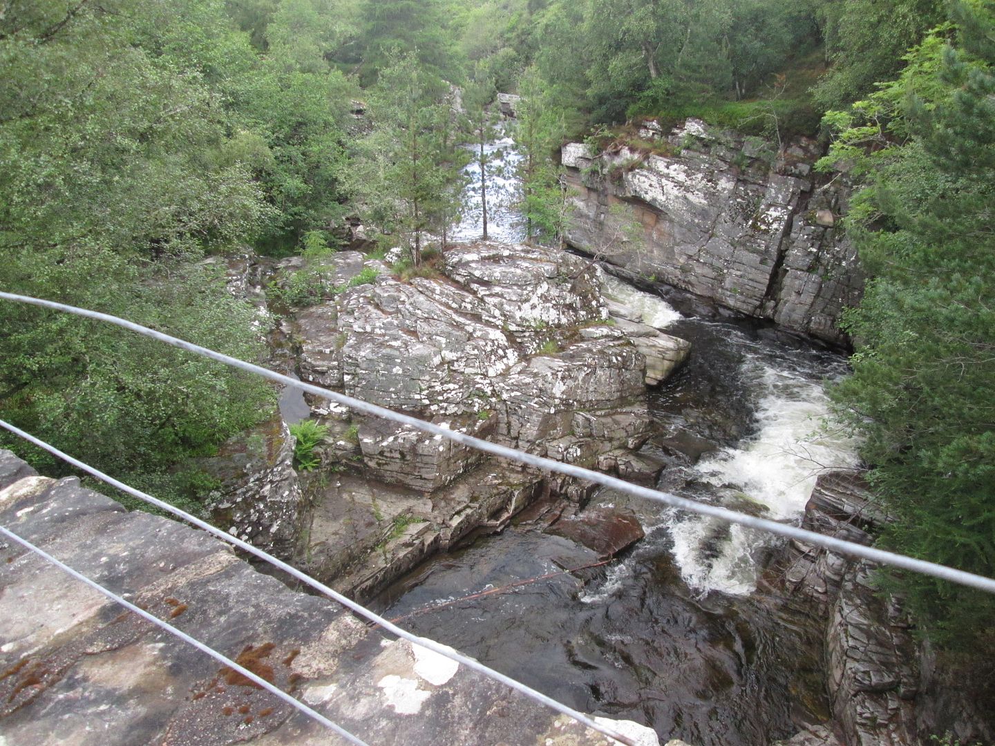 Bridge of Tromie
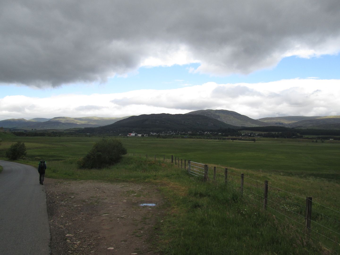 Kingussie across the A9
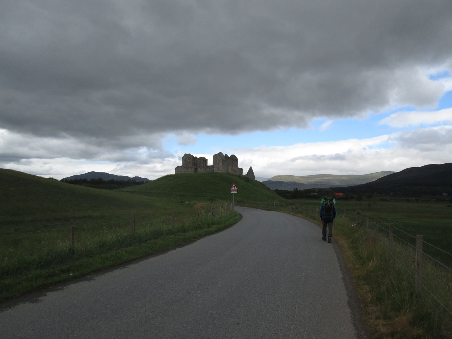 Ruthven Barracks
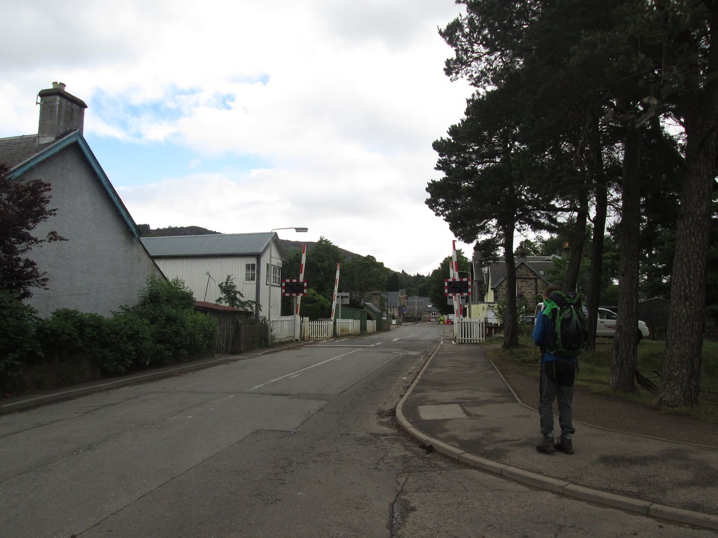 And just like that, another Gold Assessment comes to and end
At least there is the Ghillies Bar at the Duke of Gordon Hotel to look forward to on that long plod along the tarmac. When we got there though the place was closed. A sign on the door advised that regrettably they had gone to limited opening hours due to "unforeseen circumstances". Maybe Brexit has resulted in some staff deportations already! At least the Co-op was open so we had to settle for a cold beer from there which we enjoyed in the park next to the station. Well I did anyway. Jacob is underage!
