free to be able to rate and comment on reports (as well as access 1:25000 mapping).
Sub 2k Marilyns: Beinn na h-Iolaire, Dun Caan.
Date: 15 and 16/07/2018.
Distance: 15km + 5.5km.
Ascent: 650m + 340m.
Time: 4 hours, 30 minutes + 1 hour, 30 minutes.
Weather: Light showers with some sunshine on Sunday.
Saturday of the Skye WH meet was a bit of a washout - a shame for those who had booked a guide for the Inn Pinn, as the weather was clearly not going to be good enough for that. I stumbled out of my tent with a strong taste of whisky still in my mouth, unsure exactly how I'd made it there. Although it didn't look too bad first thing, the wind was already up. As there were plenty of cars available, I joined up with Alteknaker (Allan) and Yorjick (Steve) for a linear coast walk - I had sold the joys of Macleod's Maidens and the cliffs along the Duirinish coast the previous evening so we decided to leave a car at Neist Point and drive back round to Orbost. Probably should have started earlier than midday though, and the weather left a lot to be desired. I'll leave it to
Yorjick's report to fill in the details, but suffice to say, we got very wet and cold and were back so late that the Saturday night quiz had already happened

The previous week in Assynt, Jackie and I had come up with ooh, about 100 ideas for good routes we should do sometime - the joys of looking at a map with someone who has the same idiotic approach to planning as I do

. One of those was to do a 2 day traverse of the Trotternish with a summit camp somewhere, which would be a good one for the Sunday of the meet plus the next day (which we both had free). However the weather didn't really look ideal for that, so we went with plan B - a Raasay bothy trip. We were originally going to cycle up from the ferry, but laziness kicked in and I decided to take my car over for the drive up to the north end of the island.
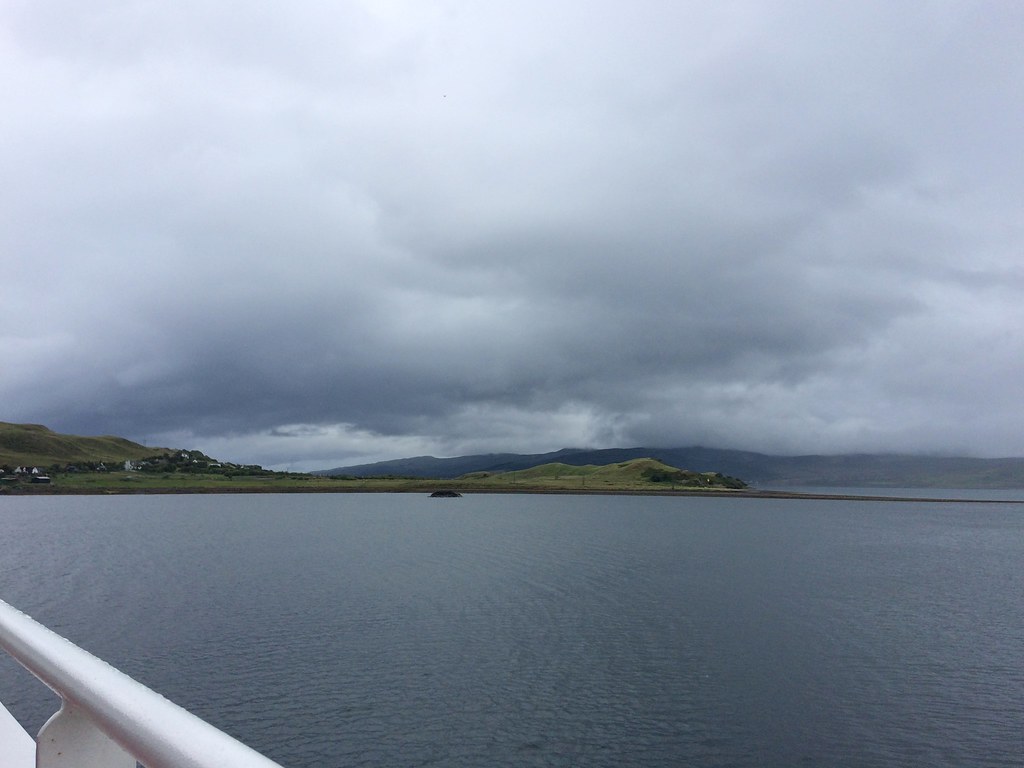 On the ferry to Raasay
 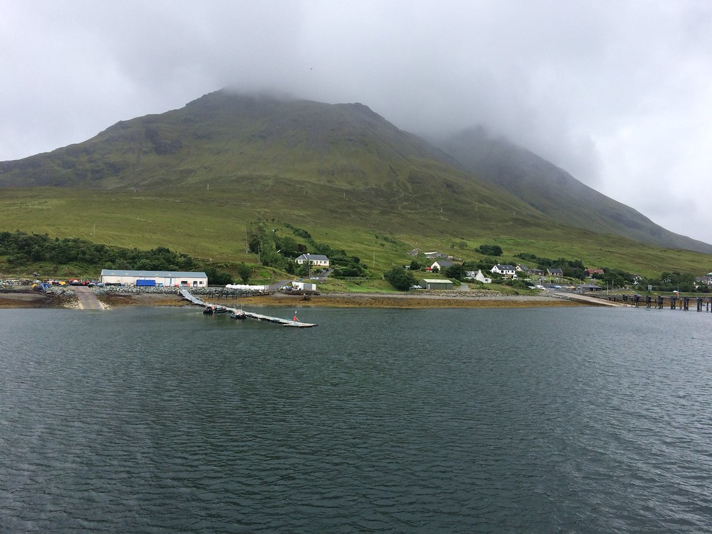 Leaving Sconser
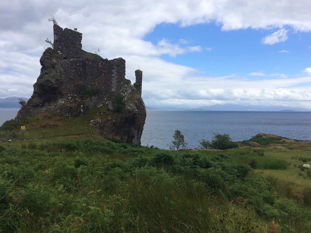
 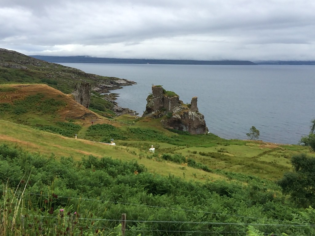 Brochel Castle
 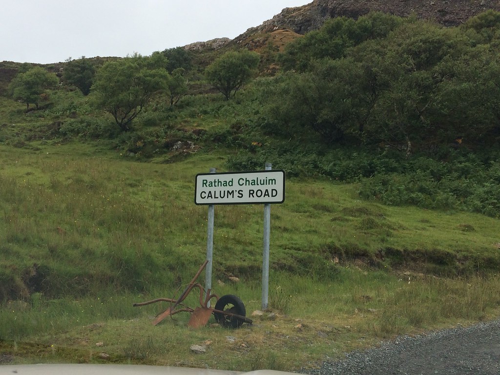 Start of Calum’s Road
 On my previous visit to Raasay, I had been up Dun Caan but not got any further north. We had both read 'Calum's Road' so were interested to see the various places mentioned in it. The weather had picked up a bit since the morning - it was no longer raining even if the higher hills weren't clearing. A couple of the steeper ascents were a bit of a shock to the system with the heavy pack, but before too long we were at the high point where the path crosses over to the east of the island.
 On the path north
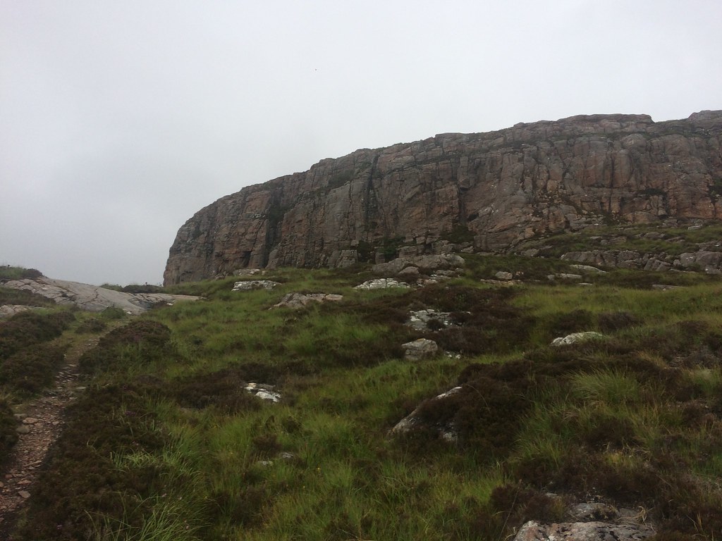
 I obviously had the Marilyn at this end of the island in my sights, and without heavy rucksacks it was a very swift diversion to the trig point. Even without the higher hills on display, this was a great point to look at the surrounding islands and peninsulas. It was also very picturesque - despite being right next to Skye (and almost considered part of it by some guidebooks), it has a very different character - both down to the geology and vegetation I suppose.
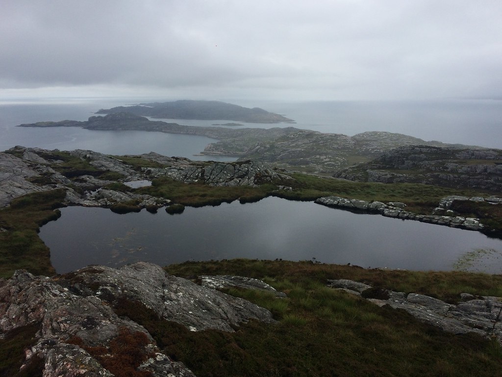 North from Beinn na h-Iolaire
 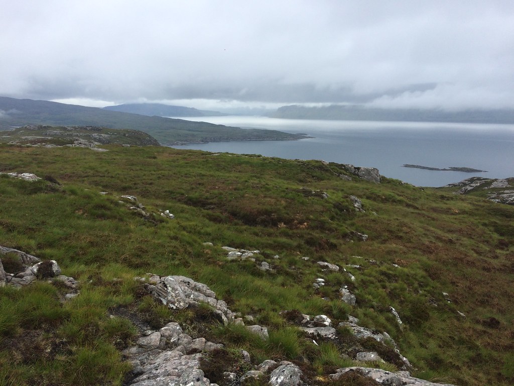 NW from Beinn na h-Iolaire
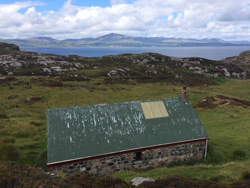
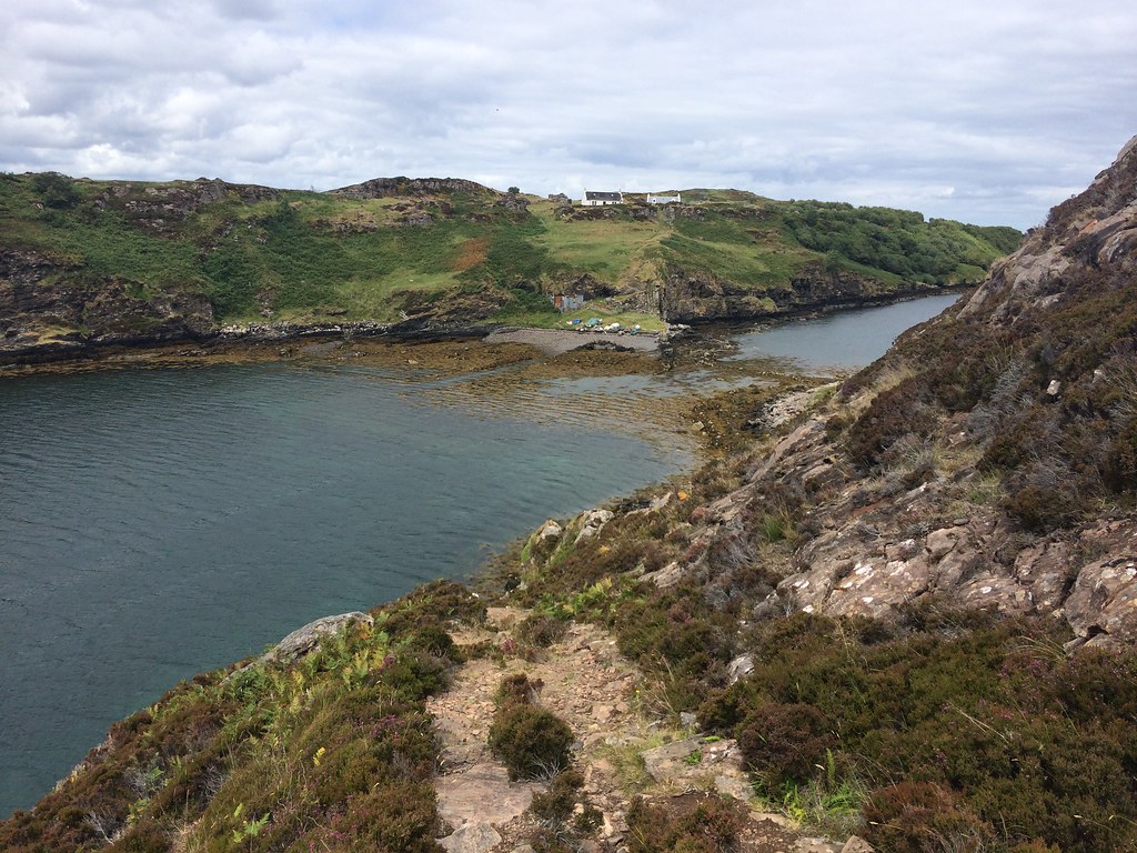
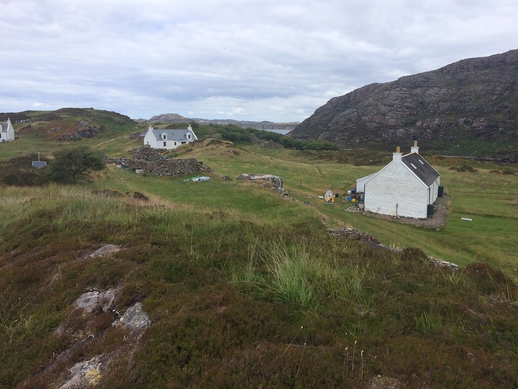
 Then it was back to the path and heavy backpacks, and on to the bothy. With a couple of exceptions, the path was very well made and mostly dry. We soon encountered the next problem - where was the bothy? I knew it was somewhere at the northern end of the island, and I had even checked in the past, but I couldn't remember which of the many building outlines shown on the map it was. In the most likely location was a barn with a collapsed roof. If that was it, then it had clearly deteriorated rapidly since Yorjick's visit a couple of nights ago!
 ’I’m sure there’s a bothy here somewhere...’
 I had a nagging doubt that it was any further north than this derelict building, but decided to climb up a small knoll first to see if I could spot it. Glad I did, as I made out the bothy roofline a little further north
.
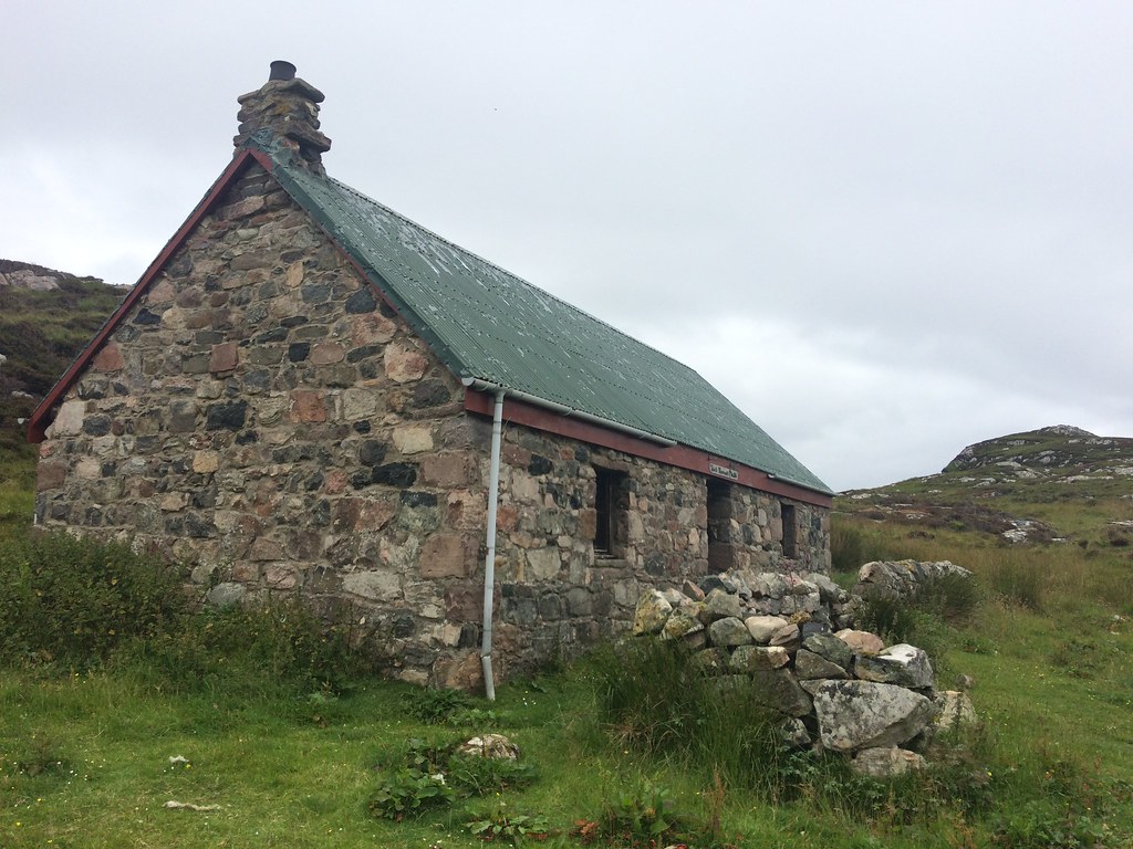 The bothy
 There was a family of 4 inside when we arrived, but they announced that they had just found a spectacular coastal camping spot nearby while exploring, and were going to stay there for the night. Spectacular maybe, but I'd rather them than us in such perfect midge weather!
A good bothy night followed, although we did struggle a bit with the fire (not one of my strong points). I had to re-assemble a grate from various bits of rusting metal and re-arrange some of the loose blocks which should have been cemented in place. Perhaps coal would've been better than logs, but it would have fallen straight through my grate!
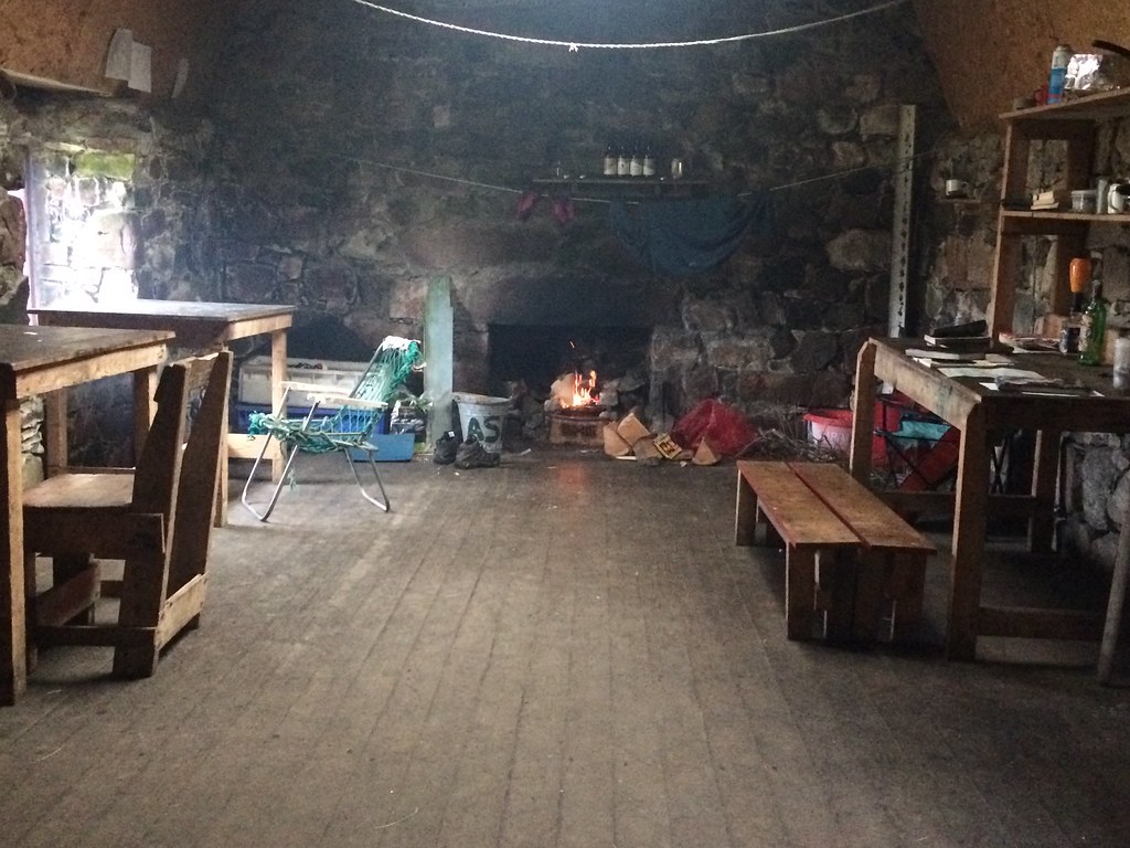 Inside Taigh Thormoid Dubh
 ____________________________________
There was more sun the next day as we left, making our way back along the same path. After crossing the high point, we diverted down to Fladday, which is a tidal island. In 'Calum's Road' there is a description of how children would have to wait for the right tides to cross over to mainland Rassay to get to school, resulting in some long days at times.
 Bothy and the Storr
  Towards Torridon
 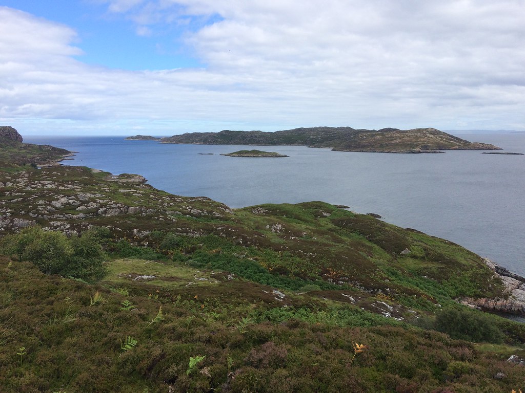 Rona from Raasay
 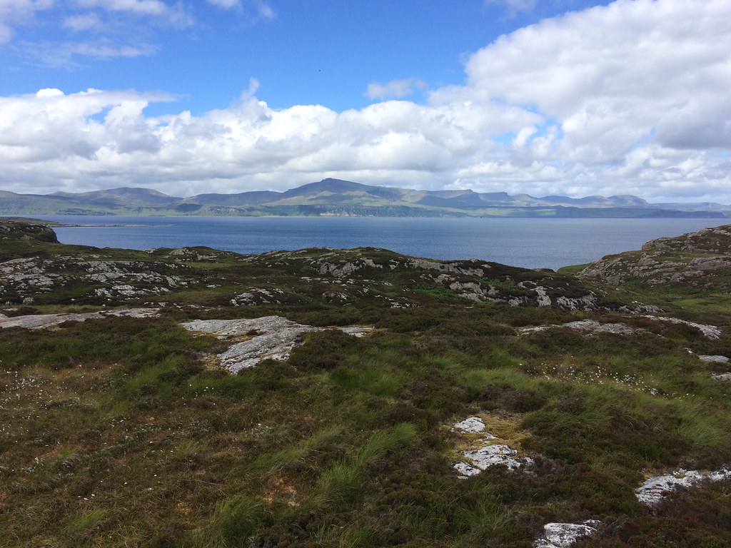 The Storr
 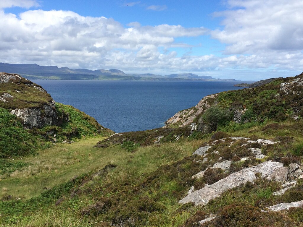 Trotternish from northern Raasay
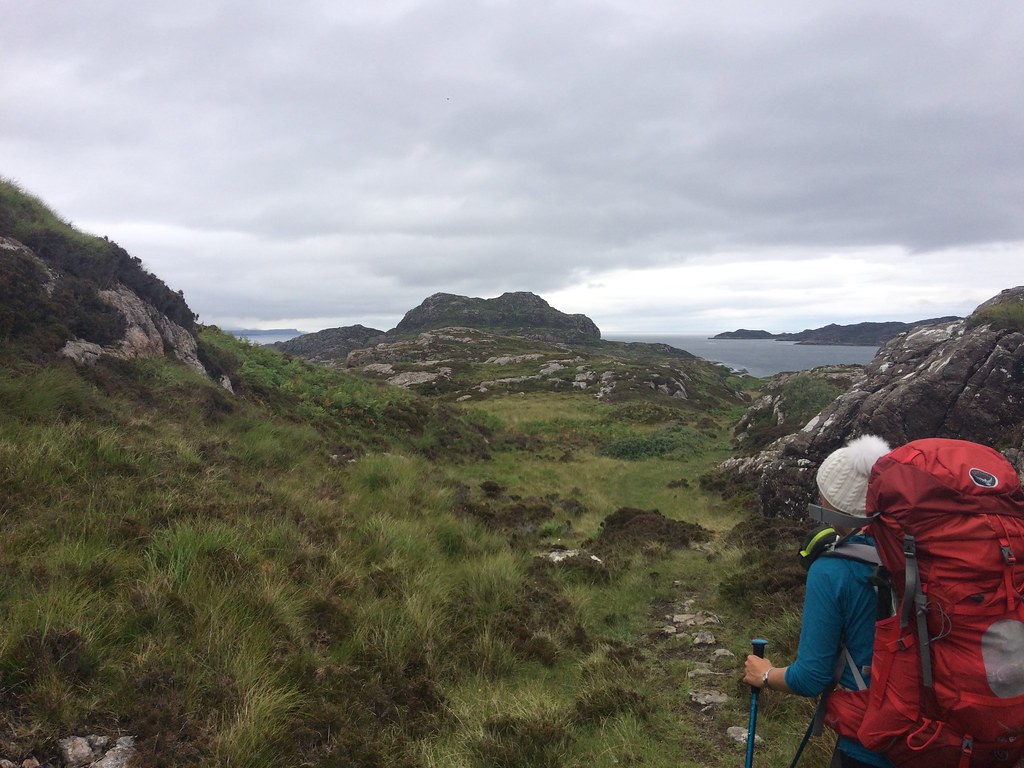
 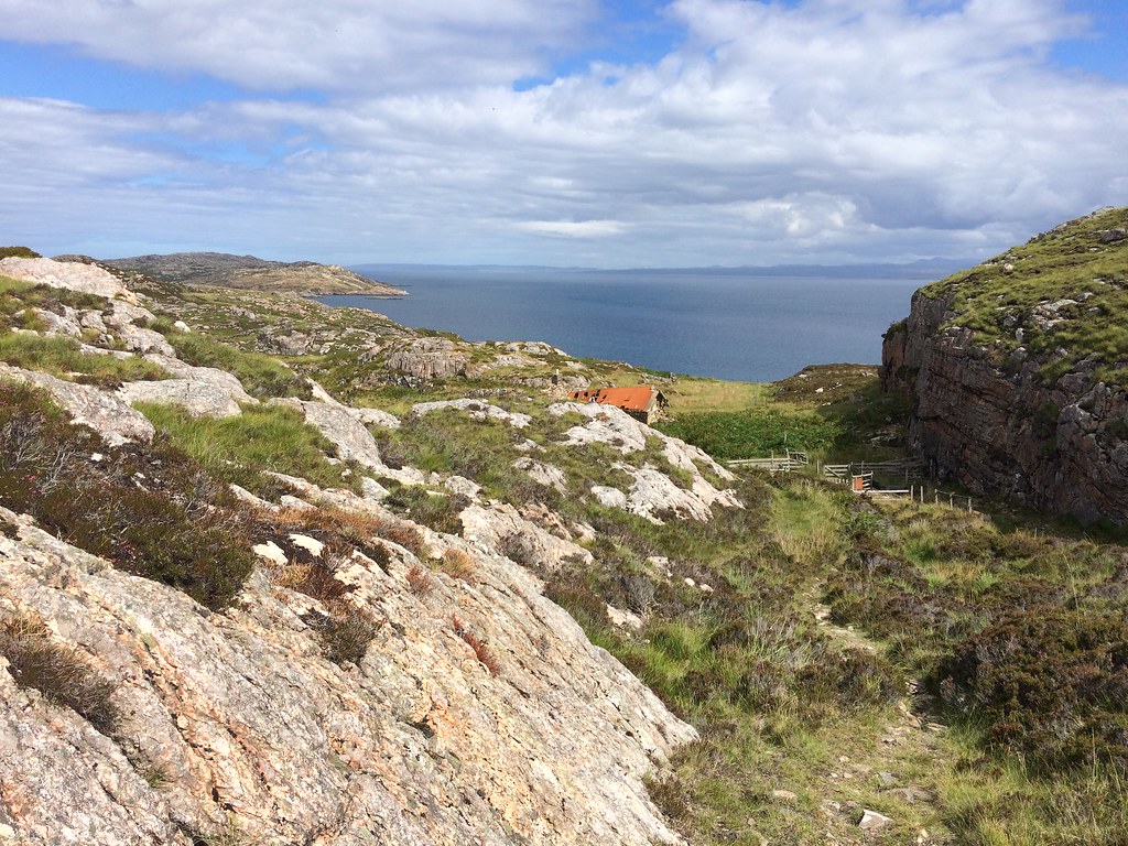 The inner sound and a bothy pretender
 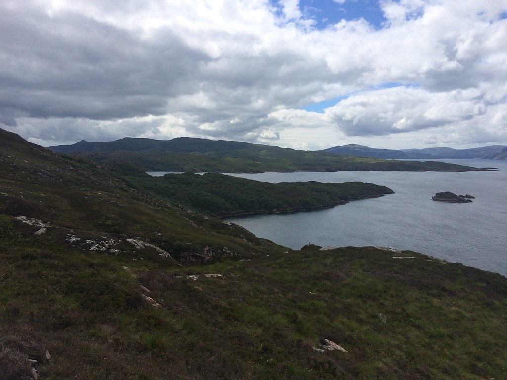 West coast of Raasay
 We hadn't checked the tide tables but the causeway was dry...ish. Although we were unsure whether the tide was going in or out, we decided on a quick crossing to have a look. Getting the camera out is a great way to increase anxiety - I was hoping for a slip on the seaweed to give me a great photo opportunity

.
 Causeway and Fladday
 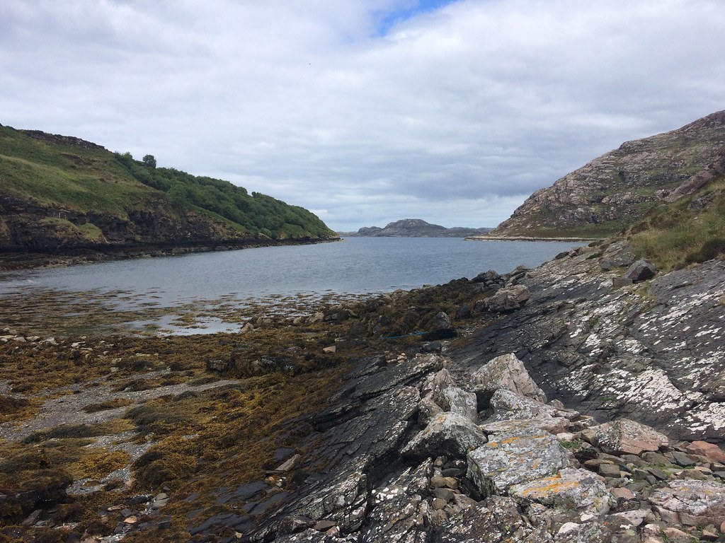 Caol Fladda
 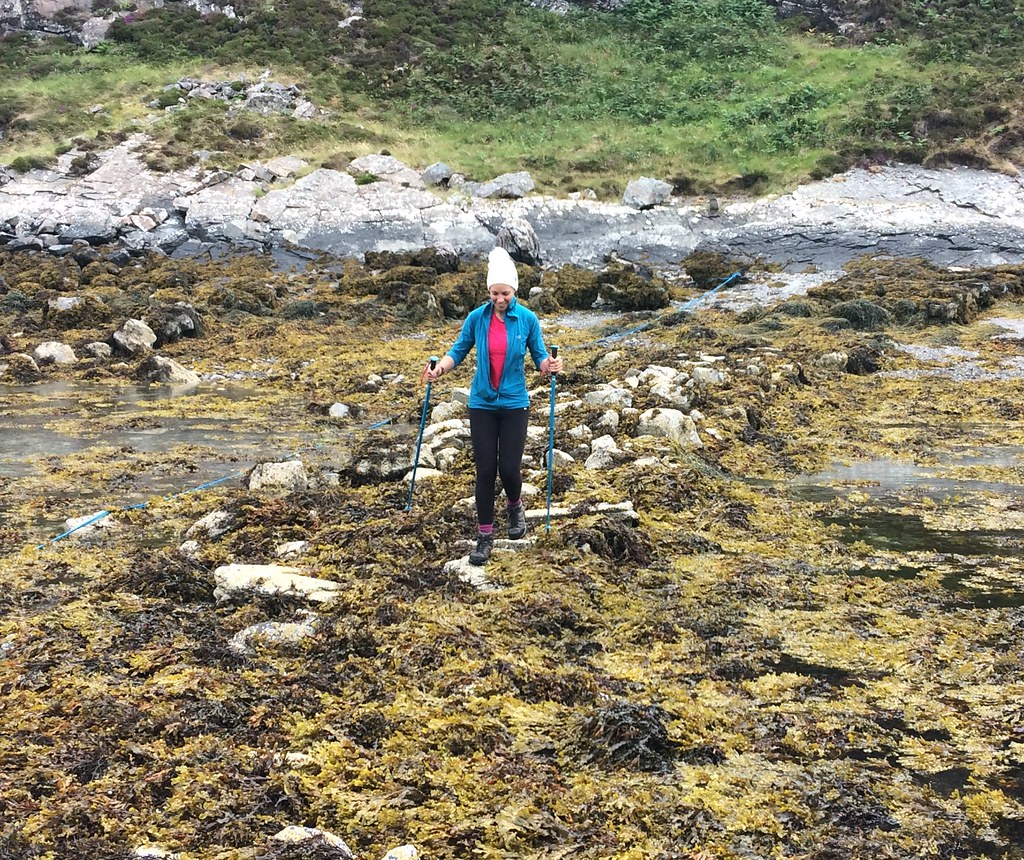 On the causeway to Fladday...waiting for a slip
 I thought Fladday was uninhabeted, but perhaps 'Calum's Road' has acted as a bit of an advert for the island, as there are 3 or 4 habitable houses there now, at least one of them with permanent residents. We spoke briefly to one of the inhabitants, and he assured us that the tide was going out so there was no rush to get away immediately. With that in mind, we followed his directions to the high point of the island, a few minutes away. The Trotternish was well seen from here - another time maybe.
 On Eilean Fladday
 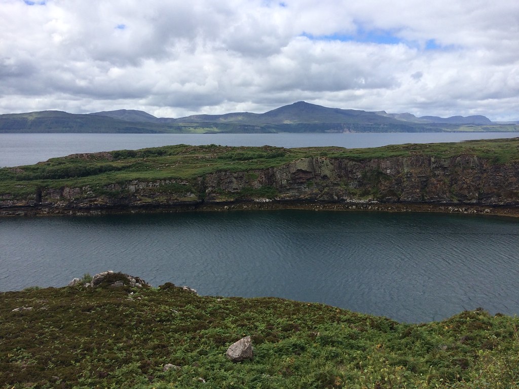 The Storr across Fladday
 With all of this dawdling about, we weren't likely to make the 3:30pm ferry, but there was probably time for a quick wander up Dun Caan before the 5pm one. We were parked up at the foot of Dun Caan a couple of photo stops later.
 Brochel Castle
 The path up Dun Caan is well made, and even with the slight descent at Loch na Meilich, it doesn't take too long. The sun even came out when we were on the summit. This would have been a great spot to linger, and a circular route would have been more satisfactory, but when we counted backwards from the tine we needed to be back at the ferry terminal, it left a very short amount of time to get there!
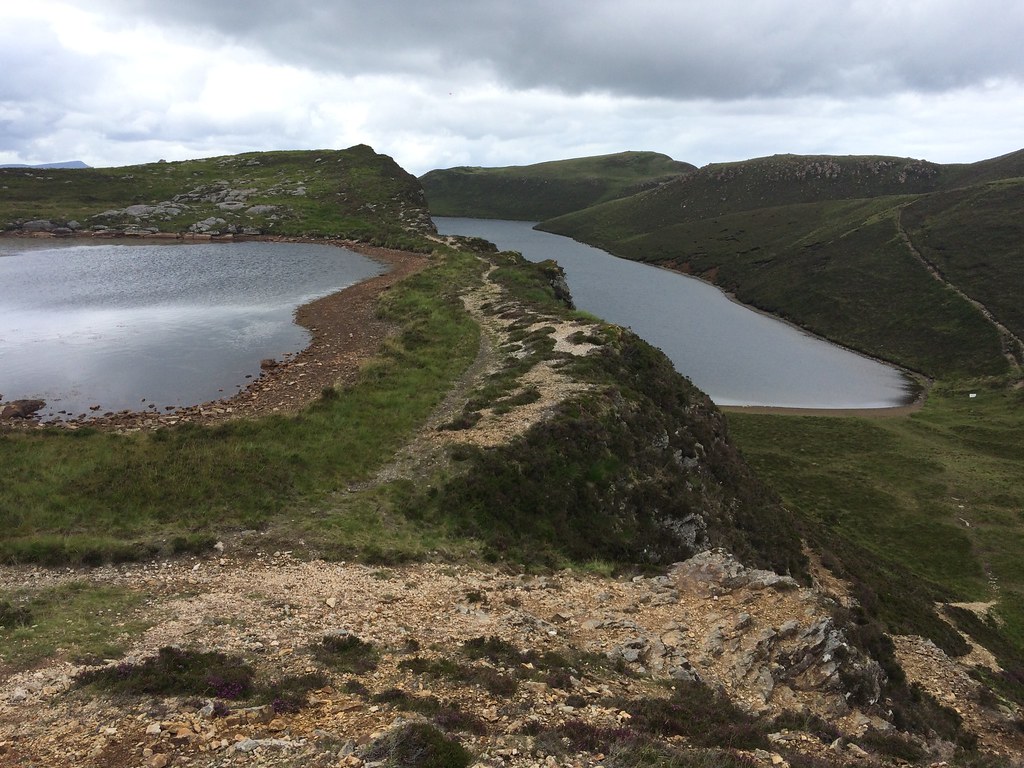 Loch na Meilich
 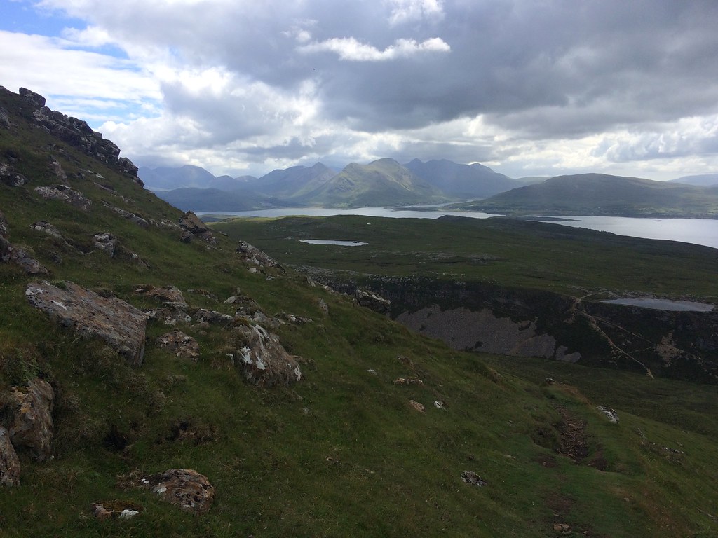 Black Cuillin from Raasay
 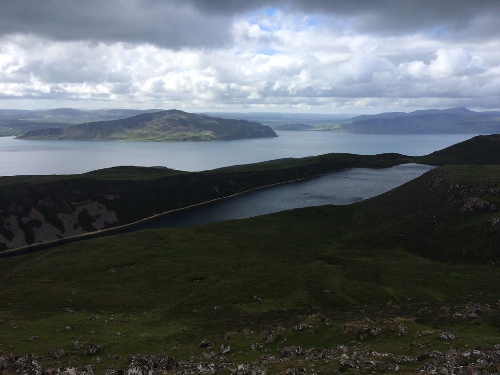 Ben Tianavaig and the Sound of Raasay
 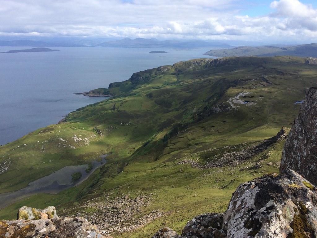 Hallaig and the Inner Sound
 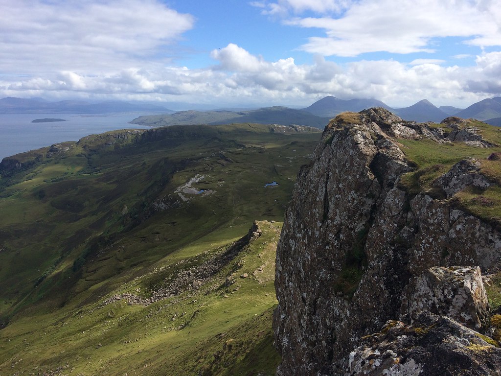 South from Dun Caan
 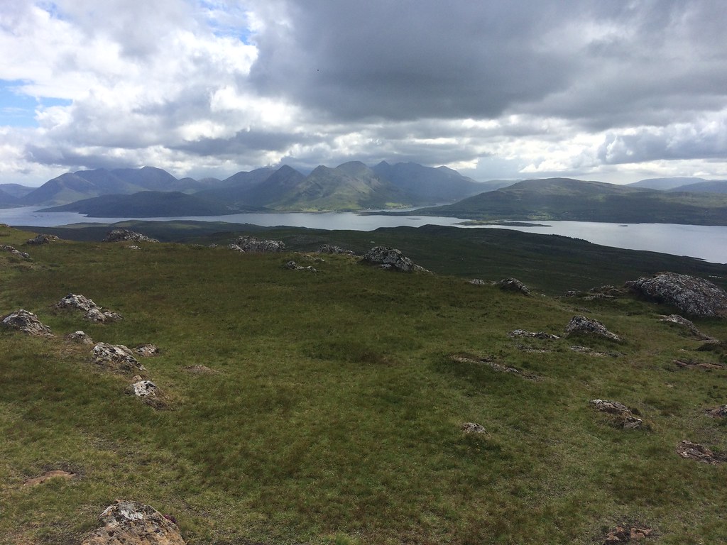 Black and Red Cuillin
 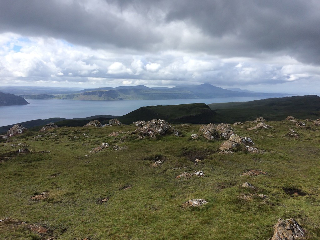 Storr and Trotternish
 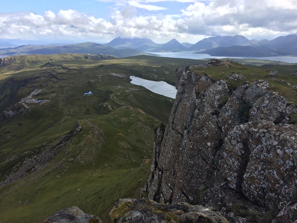 Red Cuillin from Dun Caan
 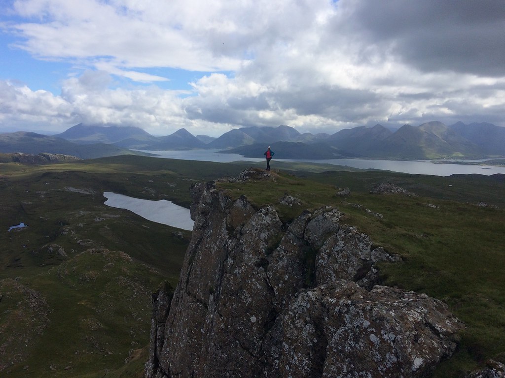 Dun Caan summit
 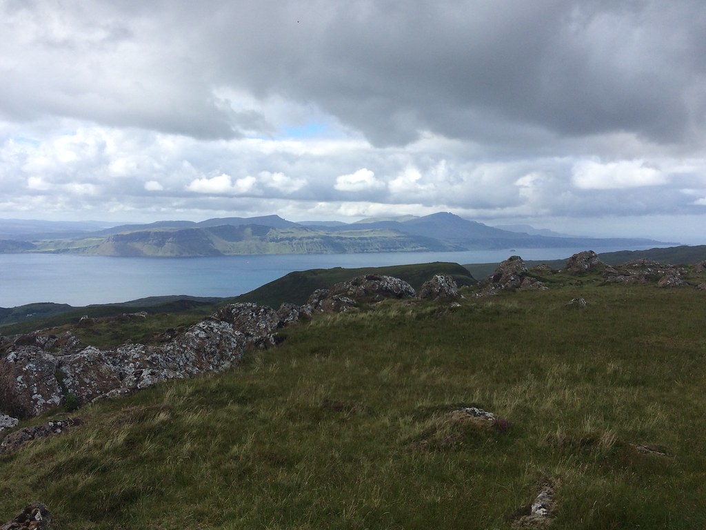 Skye from Dun Caan
 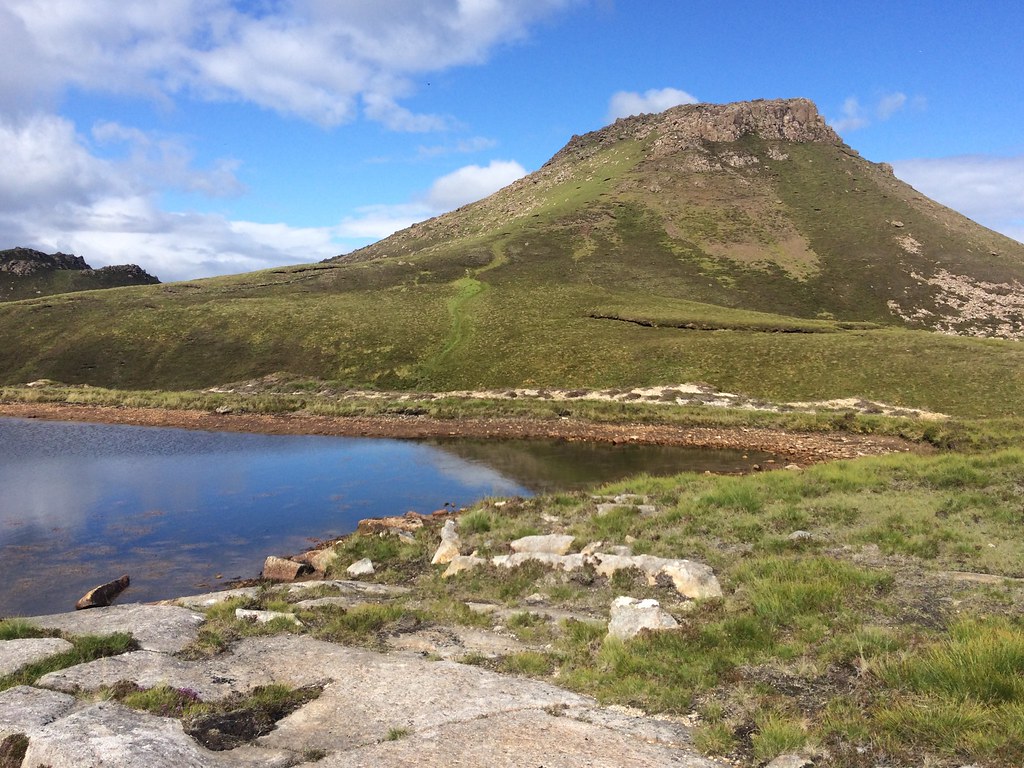 Dun Caan
 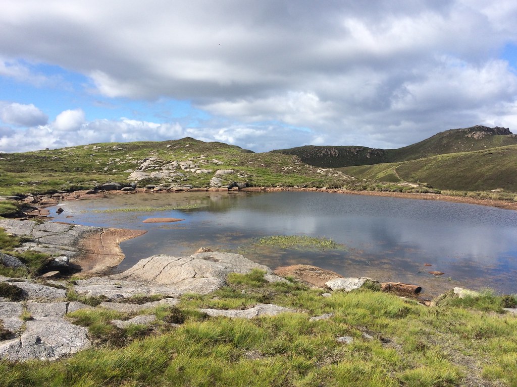 Brightening up on the way back from Dun Caan
 After a bit of a jog back and some interesting driving (very difficult to even manage 30mph on most of the road back to Clachan), we made the ferry with minutes to spare. While flicking through the timetable in the car, I realised that there was actually a later one, so we could have dawdled some more
.
Fair to say that between Friday on the Cuillin and this quick visit to Raasay, the bad weather on the Saturday of the meet seemed fairly insignificant

A big thanks to Maja and Kev for organising the meet

