free to be able to rate and comment on reports (as well as access 1:25000 mapping).
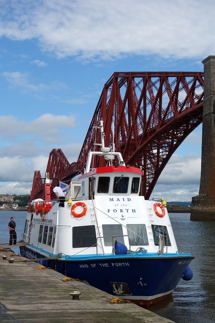
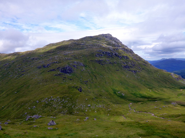
This Friday I was invited to my niece's wedding, being held on Inchcolm Island - so there would be no hills for me that day...or would there? A quick peek at Hill-bagging revealed that the tiny island had a TuMP of a whopping 34m, perhaps I could squeeze that into the day? Amusingly I noted that mad-bagger Robert Phillips had been there earlier in July. The weekend would, therefore, be a bit curtailed, leaving on Saturday morning so I reckoned we'd do some hills close to home.
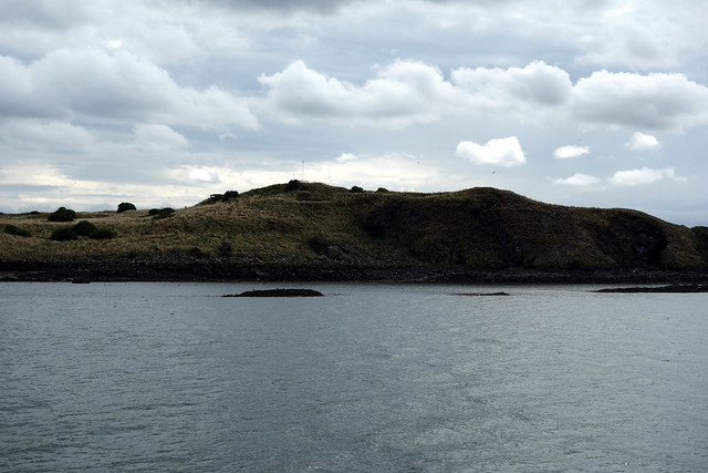
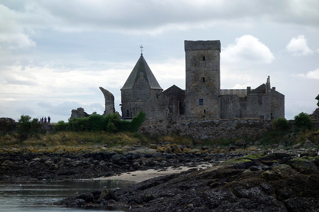
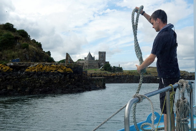
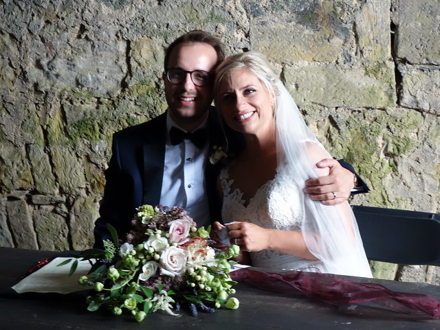
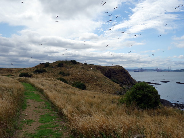
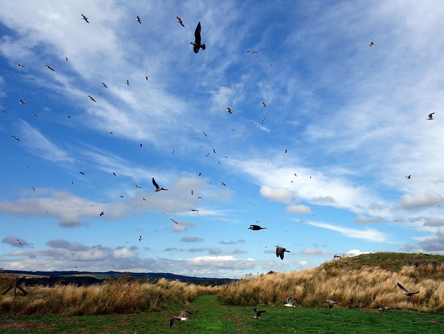
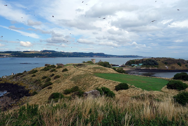
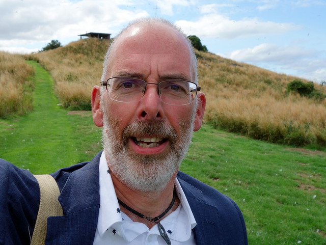
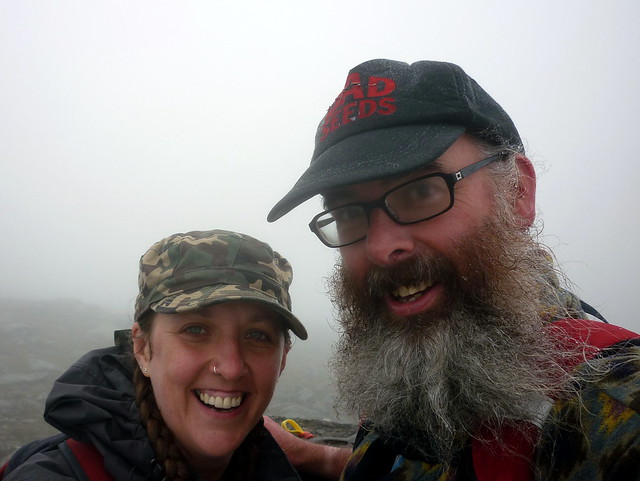
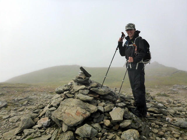
The wedding was lovely - boat over from South Queensferry, ceremony in the picturesque abbey founded in the 12th Century. A medieval inscription carved above the Abbey's entrance reads "Stet domus haec donec fluctus formica marinos ebibat, et totum testudo perambulet orbem", or, "May this house stand until an ant drains the flowing sea, and a tortoise walks around the whole world". The bride and groom were very happy - even the weather behaved. After the ceremony finished, and before the photographer got busy on the group photos, I reckoned there was time to slip away and get my TuMP. It wasn't too difficult - the island is less than a kilometre long. I'd been warned about the gulls, that they might attack, but I suspect the young birds are of an age now where parental supervision is less strict, and - other than flying up into the air - they paid little heed to my presence. I didn't even get any additional colour splashed onto my jacket. I wasn't away for long and managed to get back before I was needed in a photo, the proud possessor of another TuMP and - even more excitingly - a SIB (don't ask - it has to do with the highest point on an island)

 DSC02197
 by
Al, on Flickr
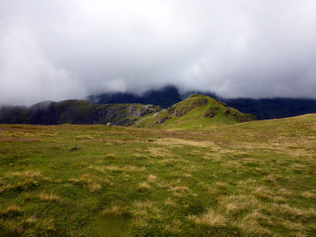
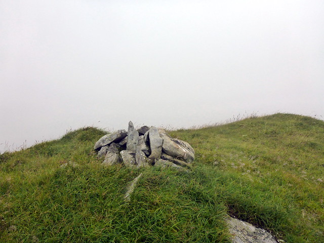
Inchcolm hill
 DSC02218
 by
Al, on Flickr
 DSC02221
 by
Al, on Flickr
 DSC02223
 by
Al, on Flickr
The happy couple
 DSC02257
 by
Al, on Flickr
 DSC02289
 by
Al, on Flickr
 DSC02293
 by
Al, on Flickr
 DSC02291
 by
Al, on Flickr
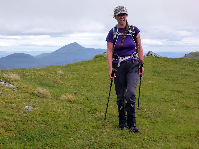
Not my usual hillwalking attire
 DSC02292
 by
Al, on Flickr
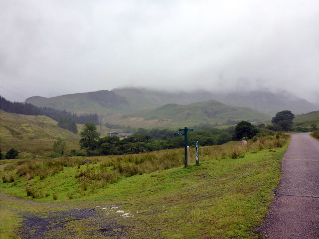
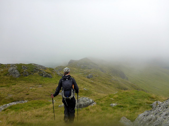
Was back home before midnight on Friday, having stayed sober and driven. After a busy day I could have done with a bit more sleep, but 06.45 arising to get ready for another day in the hills. Weather was dreich as I went to pick Allison up. Our plan for Saturday was to do Narnain, Ime and Vane, with a few Sims added on for good measure. maybe the Lui 4 for Sunday, although the forecast wasn't very promising. No problems driving up, paid my £4 to park at Inveruglas and noted to my annoyance that I hadn't loaded the route I'd drawn onto my GPS. Normally - particularly with popular hills that have paths - this wouldn't matter, but there was the matter of locating a forest track to climb Narnain, which was shown on the 1:25k planner, but not on my 1:50k GPS map. I hoped this wouldn't cause problems - we did have a paper 1:25k map.
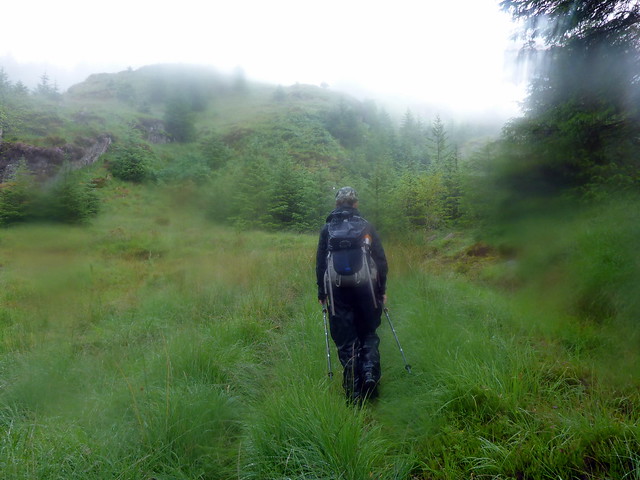
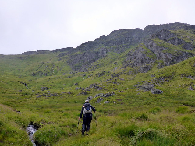
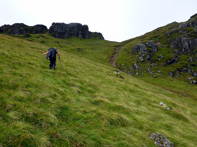
Off along the track that leads to the Cowal Way, past a futuristic new building presumably related to the Hydro and a left turn down the Three Lochs Way. The rain - which had been threatening, now became heavy enough to warrant rainjacket and trousers. We left the track after a couple of kilometres, aiming for where I thought the forest track should be. This involved clambering down sodden grassy banks to a small river then following the lines of pylons for a bit. We resorted to working out a grid ref from the 1:25k map and entering it into the GPS to guide our blind stumble through ever thickening trees. Surprisingly we did seem to come upon a track of sorts, which petered out quite quickly. Underfoot was forest swamp, branches pulled at our hair and clothes as we pressed on through small clearings. I knew if we kept ascending we'd meet a forest road that ran across our line of travel - and meet it we did - not until we'd had deer fences and hidden holes full of water to negotiate. Once on this path we were able to find the overgrown track that zigzagged up towards Coire nan Each. However once at the end of the forestry we were still having to traverse long wet grass and scrub. The rain would stop for a few minutes, we'd take off our waterproofs as it was so hot and clammy, then no sooner had we walked a little bit further uphill and the rain would start again. My feet were soaking (wrong choice of footwear for today) and Allison's temper was stretched.
 P1200212
 by
Al, on Flickr
 P1200213
 by
Al, on Flickr
 P1200214
 by
Al, on Flickr
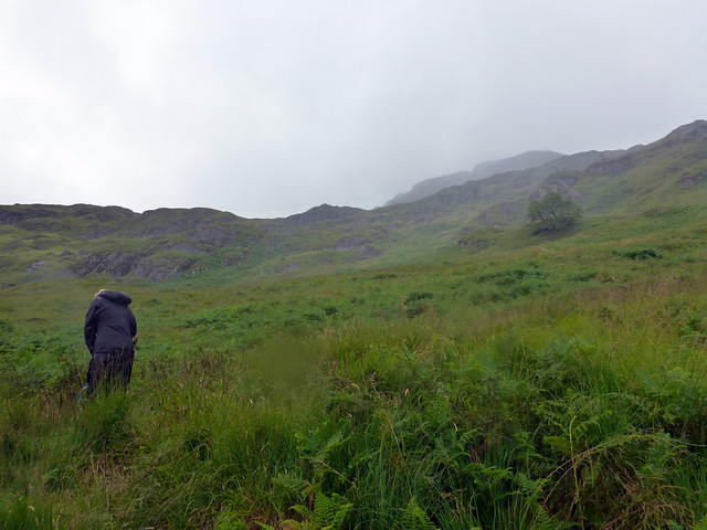
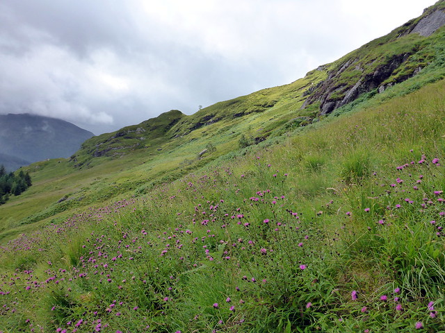
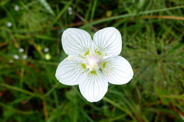
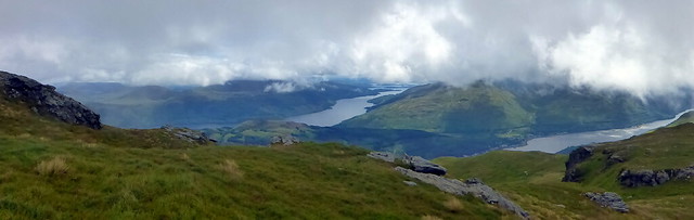
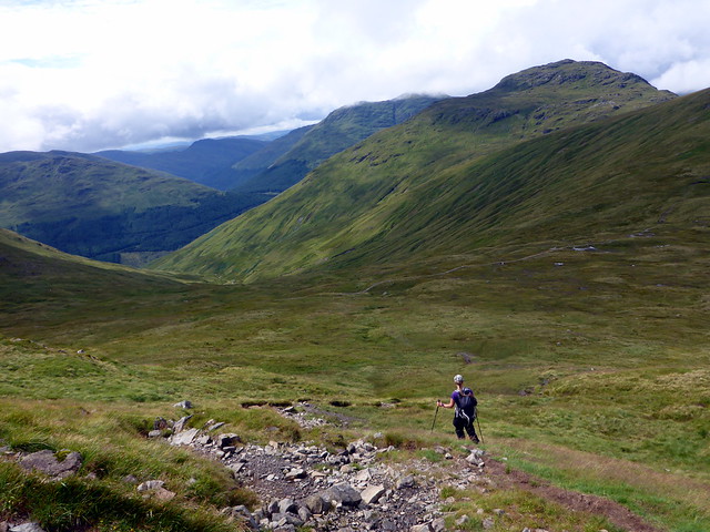
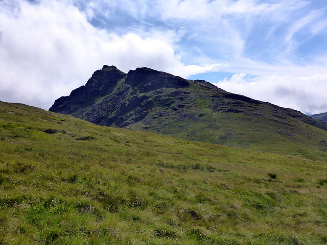
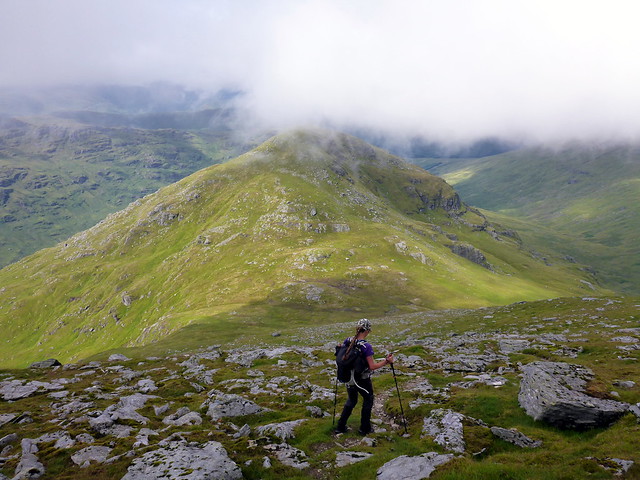
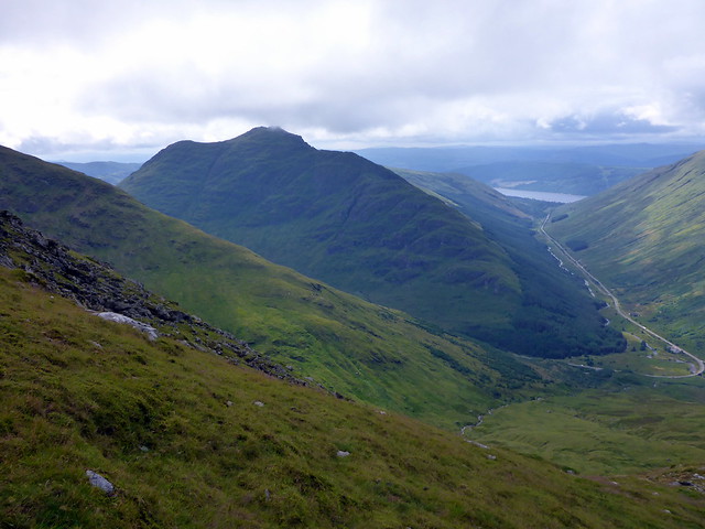
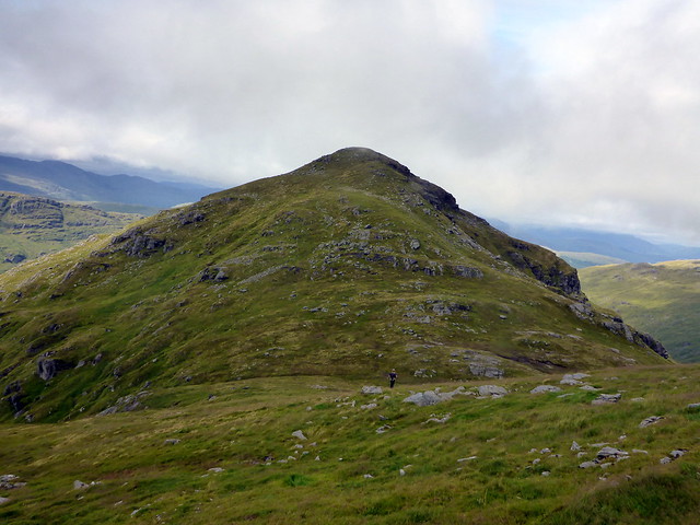
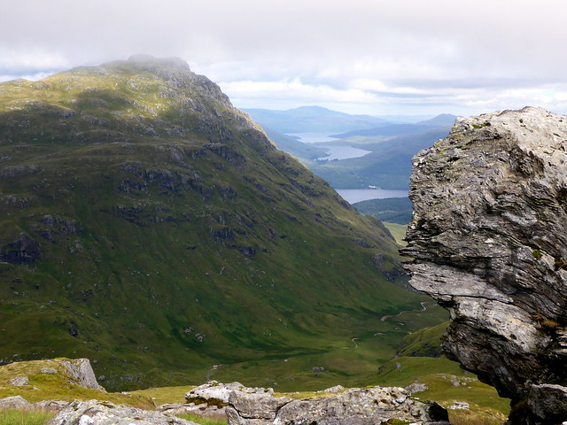
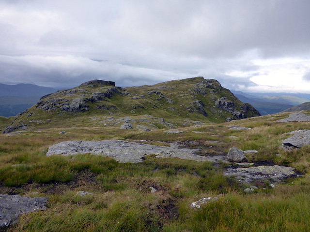
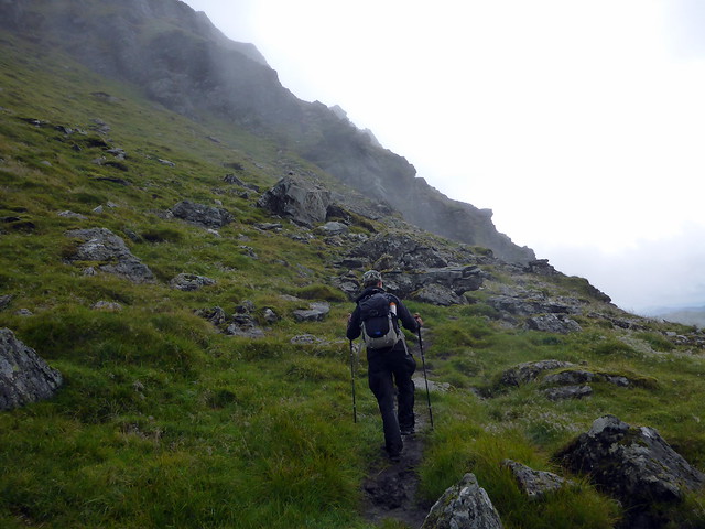
We got into the coire proper, the grass shorter and drier, purple heads of common knapweed bursting out in a riot of colour all over the hillside, the more demure pretty white flowers of grass of parnassus studding the grass here and there. We stopped for lunch having walked for over 3 hours already and attaining a height of only 450m. Lunch served to recharge the batteries and we made better time up to the coire rim, heading for the first peak of A'Chrois. We could see the knobbly ridge heading from Creag Tharsuinn to Narnain, head under cloud. South, views of Lochs Long and Goil treated the eye. Up towards the notched and rocky summit of Narnain. Large white bags filled with rocks awaited airlift - we wondered where they were to be used. No one else up at the summit trig, but we started to see lots of fold as we headed out of the clag towards Beinn Ime. There's a new path being constructed on the slopes of Narnain - the answer to our query about where the rocks were bound.
Lively Knapweed
 P1200215
 by
Al, on Flickr
 P1200220
 by
Al, on Flickr
Parnassus
 P1200219
 by
Al, on Flickr
 P1200217
 by
Al, on Flickr
Nearing the head of the coire
 P1200223
 by
Al, on Flickr
Creag Tharsuinn
 P1200224
 by
Al, on Flickr
Long & Goil
 P1200225
 by
Al, on Flickr
Descending a'Chrois
 P1200227
 by
Al, on Flickr
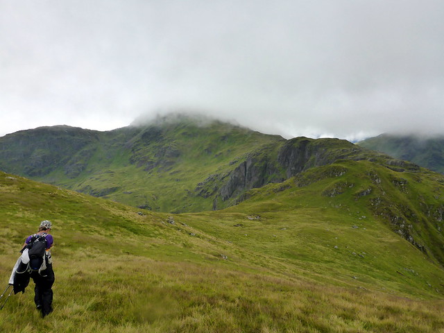
Narnain
 P1200228
 by
Al, on Flickr
Narnain flashback to 2012
 P1010045
 by
Al, on Flickr
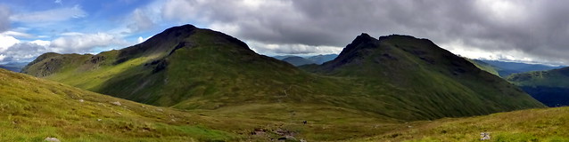
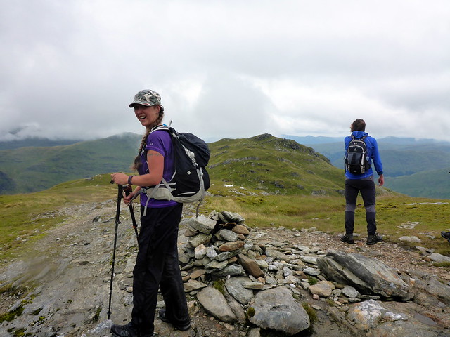
Narnain was our first Munro together back in September 2012 - on that occasion clag assisted us in getting lost and spending a few hours down in Coire Croe and the northern slopes of Ben Arthur before visibility improved enough to show us the Rest and Be Thankful car park. The two peaks took us 10.5 hours that day from Succoth. No repeat of losing the way to Ime today - path was clear as day. We passed a number of other walkers heading up. Fine views back to Ben Arthur - an impressive little hill. More folk at the summit - we continued down the northern shoulder heading for Beinn Choranach. Another Sim - this one involves ascent of 140m, so is another of my beloved HuMPs. Easy enough going, good view of Beinn an Lochain from the top. Next it was down to Lag Uaine - the Green Hollow - between Ime and Vane. This dropped us down to below 500m so it would be a bit of a slog back up. Fortunately, Vane is one of the smallest Munros - music to Allison's ears.
On to Ime
 P1200230
 by
Al, on Flickr
Ben Arthur
 P1200232
 by
Al, on Flickr
 P1200234
 by
Al, on Flickr
From Ime to Chorranach
 P1200236
 by
Al, on Flickr
Beinn an Lochain
 P1200237
 by
Al, on Flickr
Chorranach
 P1200238
 by
Al, on Flickr
Vane
 P1200242
 by
Al, on Flickr
Lag Uaine
 P1200243
 by
Al, on Flickr
Before we got to Vane, there was another Sim to be dealt with, the northern outlier Beinn Dubh. After dropping down to Lag Uaine, avoiding various crags, we set off obliquely upwards, heading for the lochan on Vane's back. From here we had another 1.5km to the summit of Beinn Dubh, rising over Loch Sloy. As I approached the summit I startled a Golden Eagle, perched at the top of the steep grassy drop to Loch Sloy. We both looked at the other with a moment of surprise then she spread her wings and thrust off into the air, swooping down towards the loch and disappearing into the western flanks of Ben Vorlich. I've only had a handful of such encounters where I've been almost within touching distance of an eagle - each occasion remains clear in the memory, a momentary glimpse into another world. By the time Allison had arrived the bird, as they say, had flown the coop.
 P1200244
 by
Al, on Flickr
Towards Beinn Dubh
 P1200245
 by
Al, on Flickr
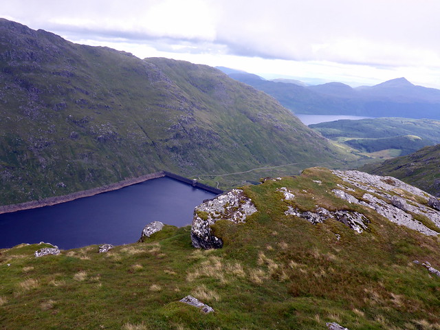
Loch Sloy
 P1200247
 by
Al, on Flickr
"I missed the bloody eagle?"
 P1200249
 by
Al, on Flickr
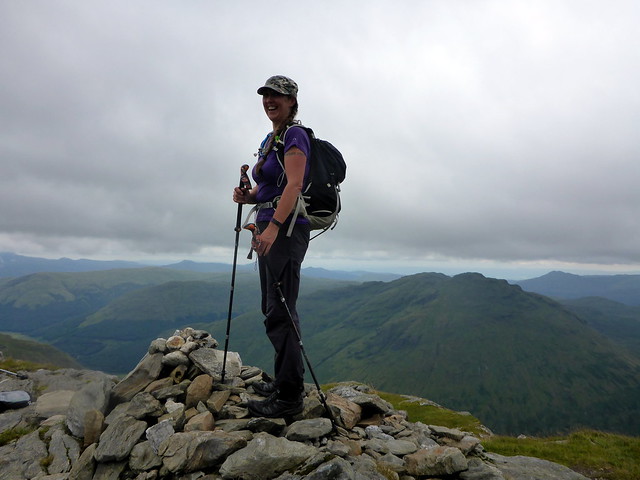
We returned to the lochan and made our way up the stony ridge leading to the summit of Vane- less steep than the usual route up. Clag was closing in again as we made our way back down - it had been a long day, with over 2500m ascent and that wet and wearying start through the forest swamp. Good to have the solid feel of road underfoot we headed back towards the car, arriving there just after 8pm.
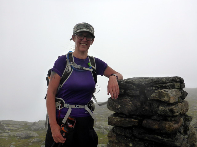
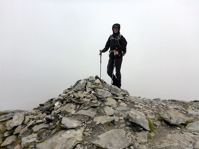
Vane summit
 P1200250
 by
Al, on Flickr
 P1200251
 by
Al, on Flickr
Now the question was where were we going to camp? I'd decided we'd do An Caisteal and Beinn a'Chroin on Sunday, so somewhere nearby. I suspected Beinn Glas would be mobbed. Those suspicions were heightened when we drove past Ardlui and saw their boggy field was busy. Right enough - Beinn Glas resembled a refugee camp as we drove by. Hmmm. Managed to find a spot near the layby at Glen Falloch - not the biggest or best pitch I've had, but as it was almost 9pm and we hadn't eaten, it would do. Bit of a struggle to cook (or rather warm up) a dhal, courgette meatball curry and rice in the smaller tent but managed and we fair enjoyed it.
Rain overnight, the delicate silver tracery of spiders' webs. Packed up and off by 8am. Clouds down again, threat of rain.
I had a quick glance at the map and reckoned that Stob Glas would be a Sim - I couldn't remember having done it. A 4G signal in the layby allowed a quick check - yes Sim, no not done - OK we'd include that. Had I possessed a bit more presence of mind I'd have seen that Beinn Chabhair was also easily accessible from An Caisteal and added that too, but that'll be for another day now. We set off up the glen, new machinery poised to work on the new Hydro project. Standard route up Sron Garbh and Twistin Hill, rain accompanying us along. Up to the summit of An Caisteal more quickly than expected. We set off down the crag-guarded western ridge, picking up a path as we headed for Bealach na Ban Leacainn. Sheep loomed out of the mist, watching us. We made it, eventually, to the summit of Stob Glas at a cost of 2km and 330m descent - then had to reverse our steps. We paused for some food at around 850m, the previous day's efforts having sapped the muscles a little.
 P1200252
 by
Al, on Flickr
Summit An Caisteal
 P1200253
 by
Al, on Flickr
Down to Stob Glas
 P1200254
 by
Al, on Flickr
 P1200256
 by
Al, on Flickr
 P1200258
 by
Al, on Flickr
We continued back to the summit of An Caisteal then followed the standard path round to Beinn a'Chroin. More walkers along the way. Rocks were quite slippy in the wet. Continued along to the 940m Munro Top then descended back into Glen Falloch. Fairly boggy as usual along here. Massive new works going on to trap water for the Hydro. Sun came out as we neared the car - just typical!
 P1200259
 by
Al, on Flickr
Summit Beinn a'Chroin
 P1200261
 by
Al, on Flickr
 P1200262
 by
Al, on Flickr
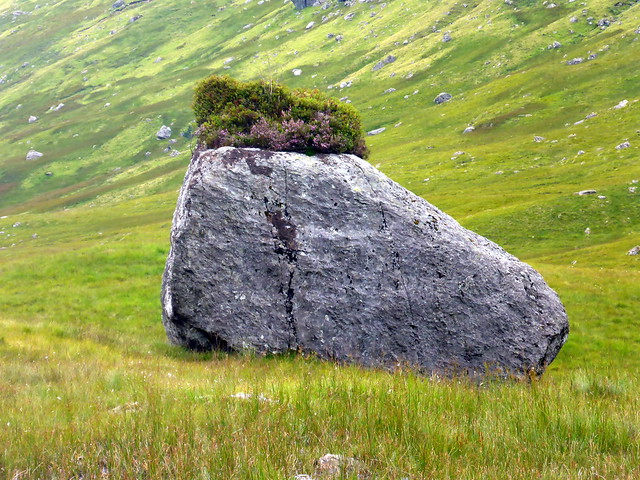
Boulder with a hat
 P1200264
 by
Al, on Flickr
 P1200265
 by
Al, on Flickr
