free to be able to rate and comment on reports (as well as access 1:25000 mapping).
Corbetts: Ainshval, Askival
Grahams: Tralval.
Date: 28 to 30/07/2018.
Distance: 18 km + 11 km +10.5 km.
Ascent: 1500m + 1070m +400m.
Time: 8 hours + 6 hours + 3 hours.
Weather: Saturday - Warm and sunny with heavy showers; Sunday - warm, sunny and breezy; Monday - warm and showery.
I can't say another visit to Rum was really on my radar this summer. It was one of those aspirations that you never get round to - go back and traverse the Rum Cuillin in decent weather. But while we were leafing through the ferry timetable on Raasay a couple of weeks earlier, I had pointed out the Small Isles ferry timetable conundrum - firstly the timetable is very difficult to follow as it is never the same two days in a row, and secondly it is very difficult to have a couple of days on Rum followed by a visit to Eigg without having a spare week off. Jackie saw this as a challenge and before long had pinpointed a possible trip - leaving Mallaig on Saturday morning and returning on Tuesday afternoon, which would give a big enough window to fit in a visit to both Rum bothies, a full traverse of the ridge and a night on Eigg.
Brilliant

. But when would a trip like that be possible? In a couple of weeks? Surely not...well maybe if the forecast looked OK...oh what the hell - could be good fun

.
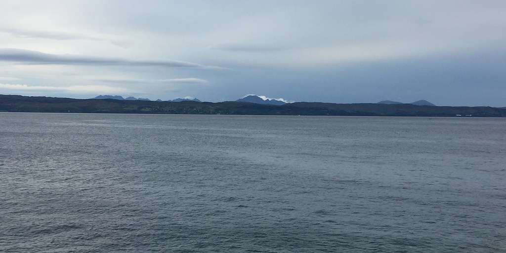 Black Cuillin from Mallaig first thing in the morning
 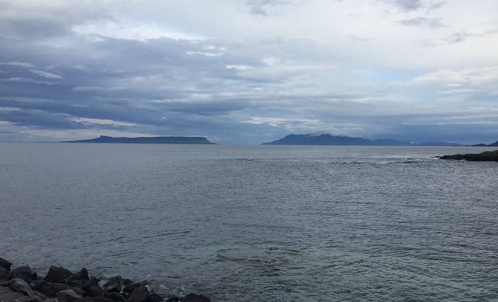 Eigg and Rum from Mallaig
 We were on the 7:30am ferry on Saturday, somewhat bleary-eyed having had to sleep in the car the night before due to the weather really not inviting exploration for a roadside camping spot

. Still, we didn't mind - we were going to Rum after all
. The hills were even clear early in the morning, increasing the anticipation. A Calmac breakfast soon sorted us out, before we decided how to make the best of the somewhat mixed and unpredictable weather forecast. The best plan seemed to be to ditch a trip to Guirdil altogether and concentrate on getting the best of the weather on the ridge. Much like on my Corbett and Graham completion a couple of years earlier, basing ourselves at Dibidil and splitting the ridge up seemed to work best.
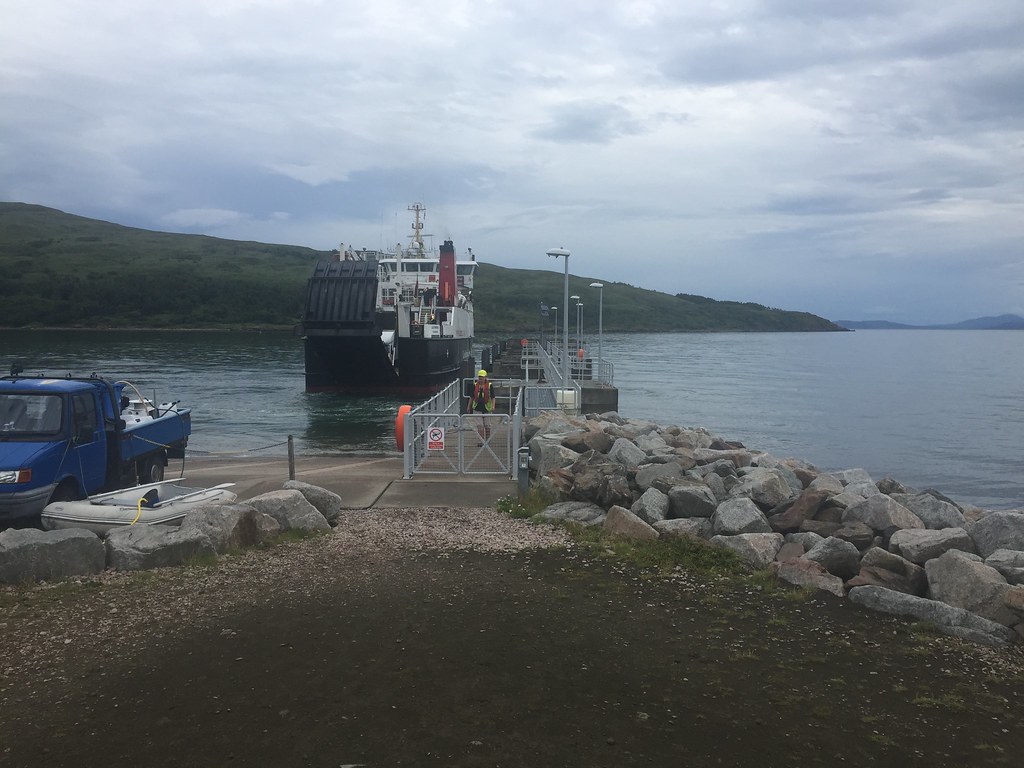
 On the ferry to Rum
 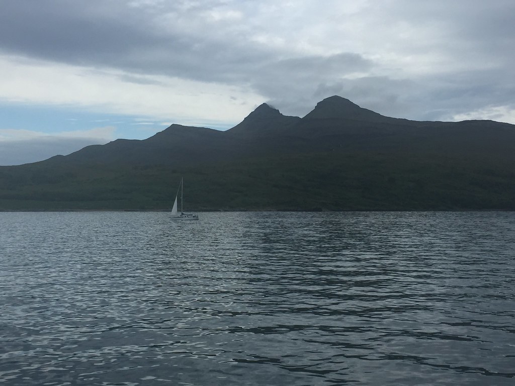 Approaching Rum
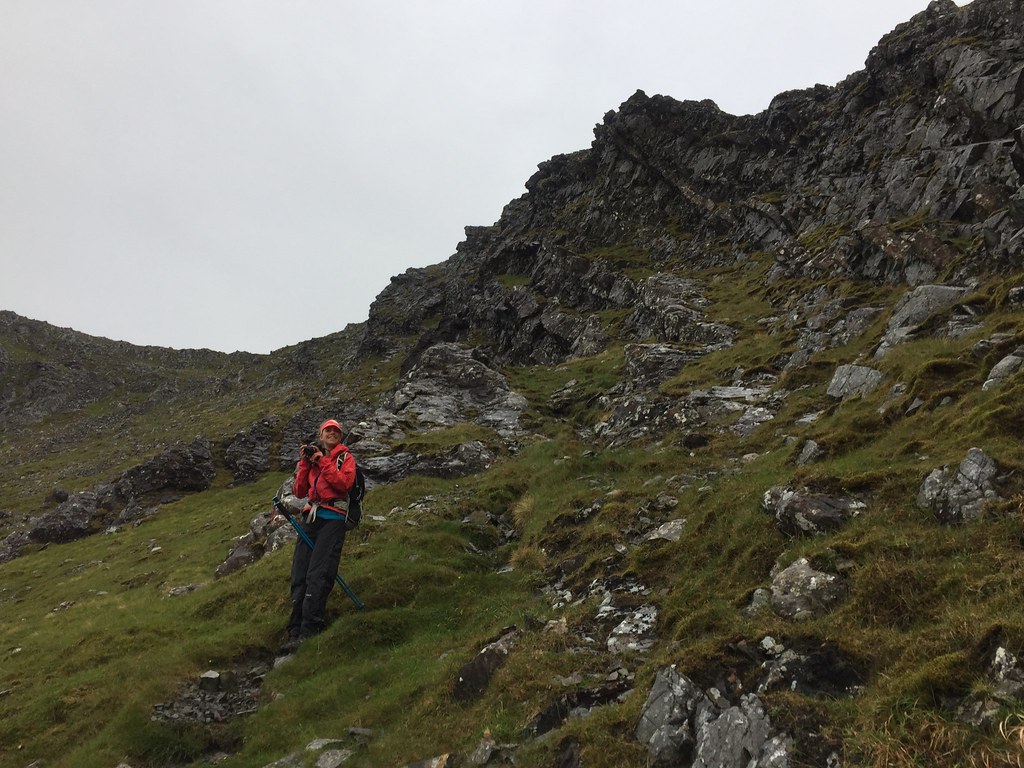
 There was a vague plan to pitch a tent at Kinloch and leave some stuff there, but we soon found ourselves walking down the Dibidil path with everything we had brought over
. Tempting as it was to get onto the ridge immediately in the sunshine, we put some faith in the immediate forecast which suggested that it would tip it down for much of the afternoon.
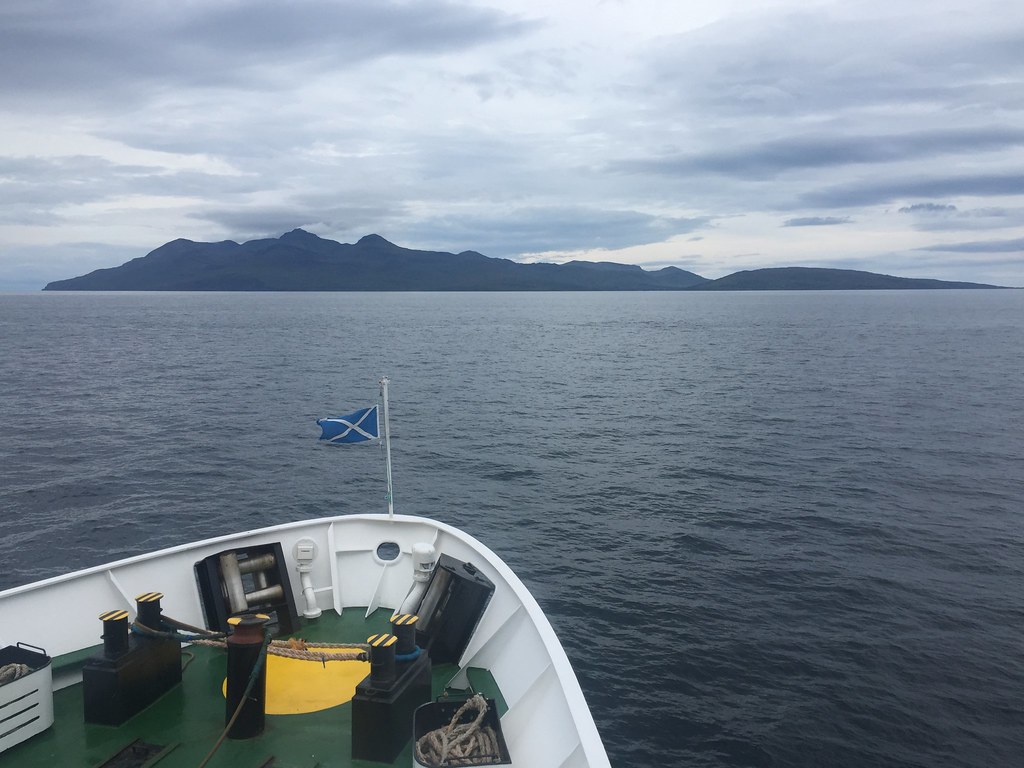
 Ferry departing
 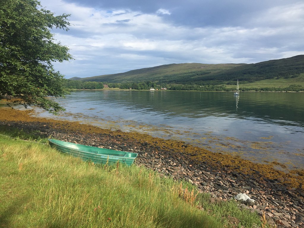 Loch Scresort
 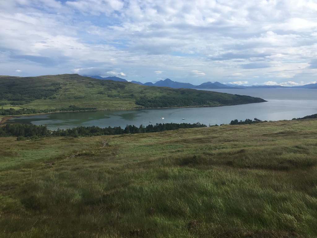 Leaving Kinloch
 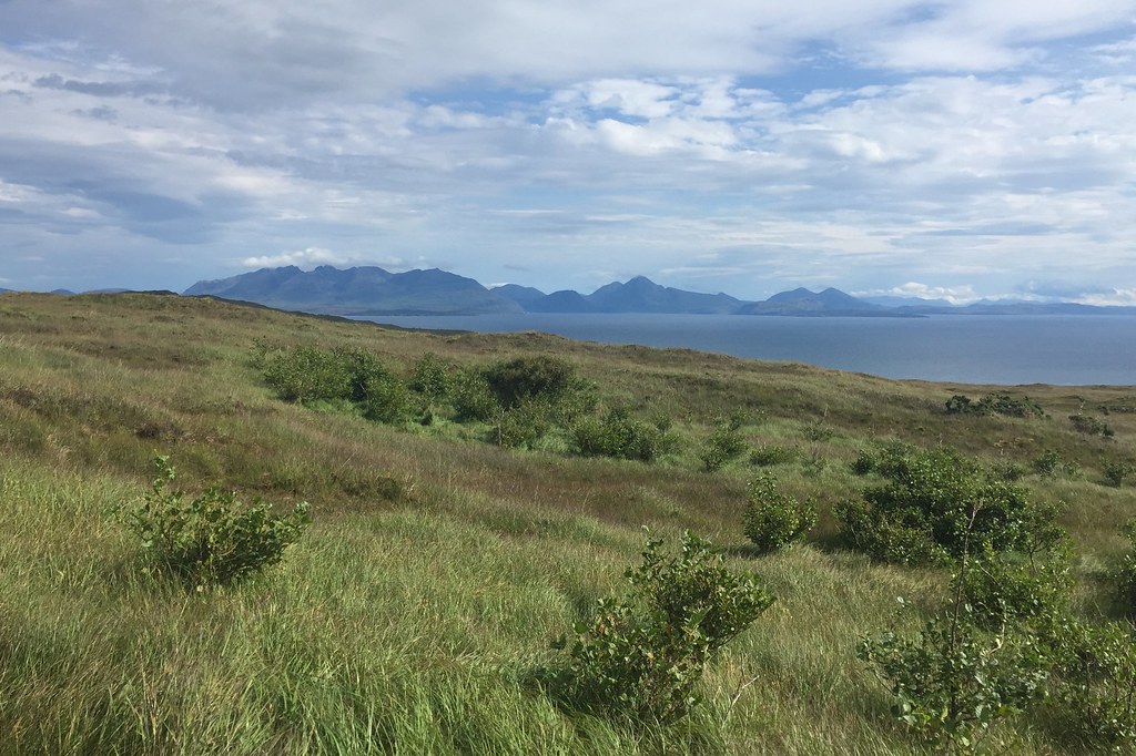 Black and Red Cuillin
 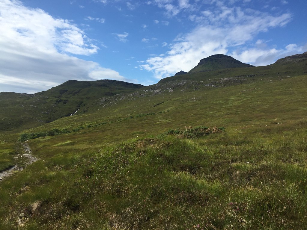 Hallival
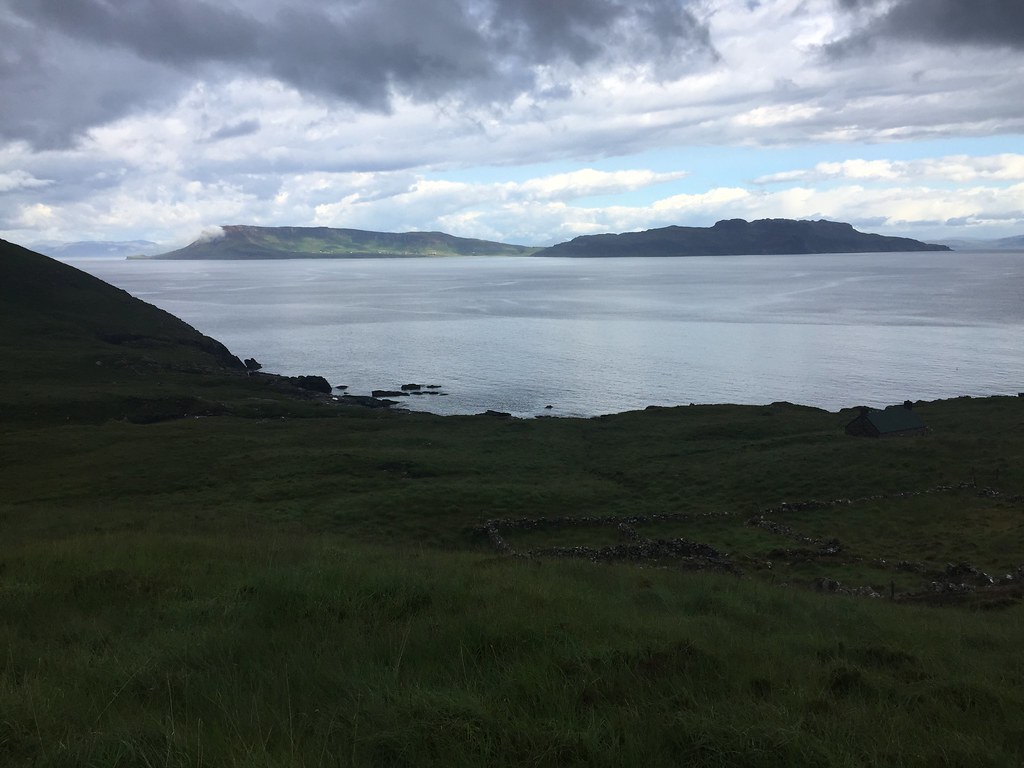
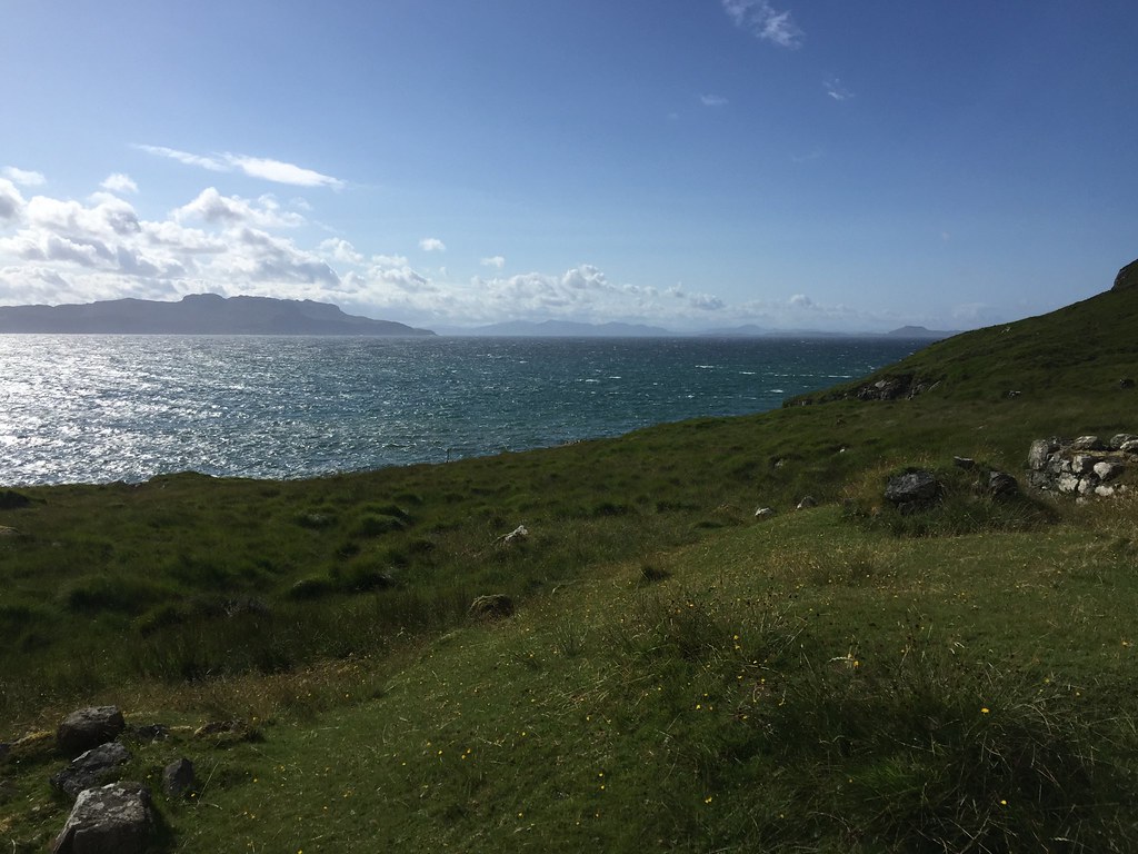
 The walk-in was dry and sunny (well not underfoot but you get the idea), and as previously, the scenery was great, with Skye and Eigg both standing out, as well as tantalising glimpses of the Rum Cuillin themselves.
 Askival and Hallival on the walk-in
 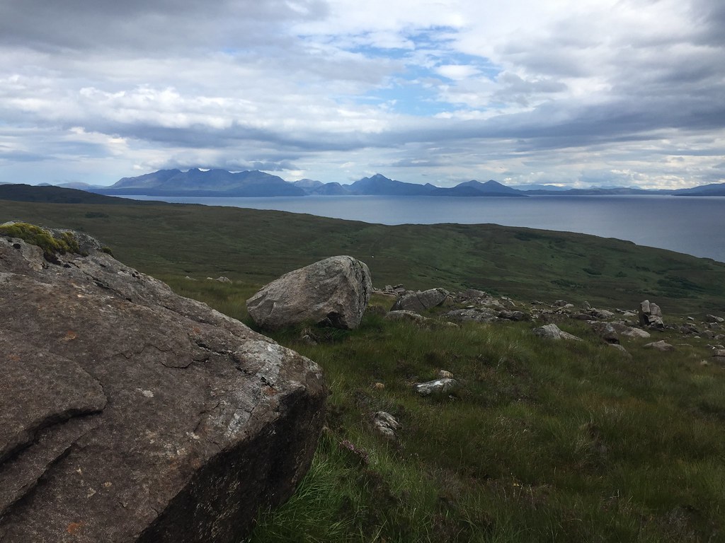 Back to Skye
  The Mainland - Knoydart
 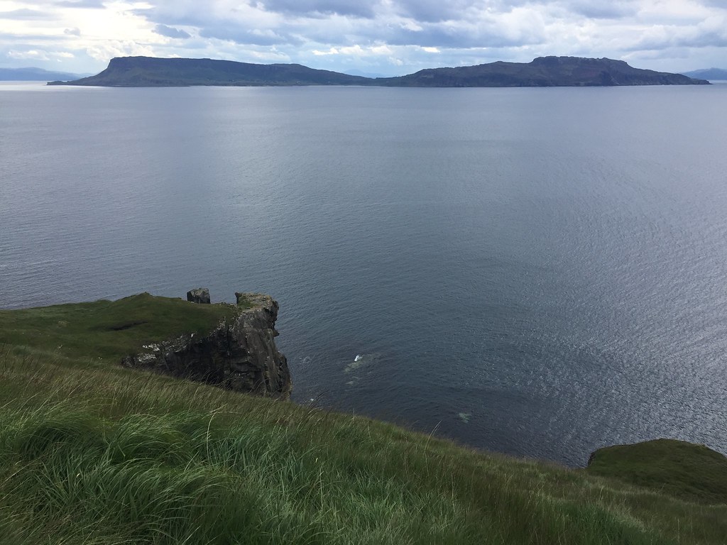 Eigg
Eigg 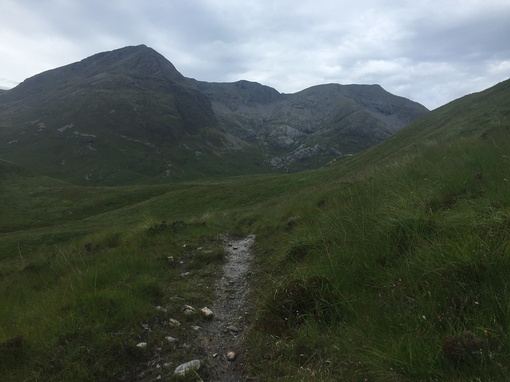 Coire Dibidil with Sgurr nan Gillean and Ainshval behind
 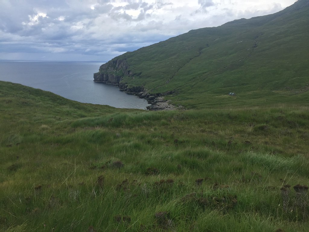 Approaching Dibidil bothy
 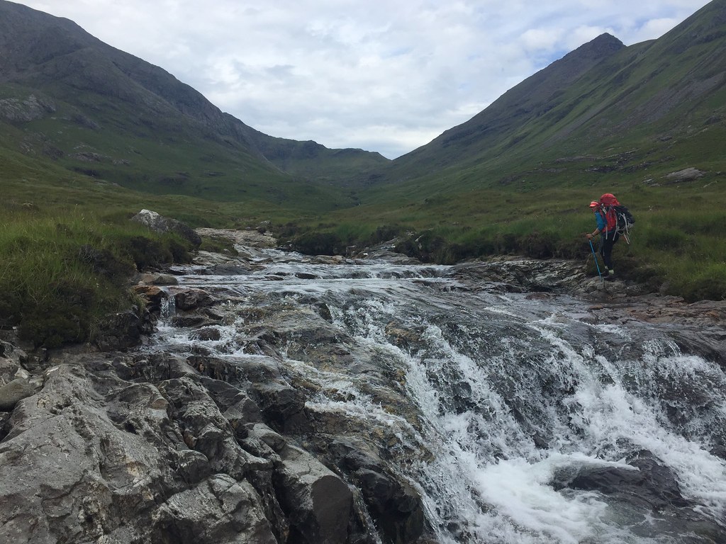 One of these days, she's going to fall in...
 Our approach paid off - the rain stayed off long enough for us to get to the bothy and go for a quick dip in the Dibidil River. Five minutes later, the first spots of rain hit, then it absolutely bucketed it down for some time. Perfect time to catch up with some sleep!
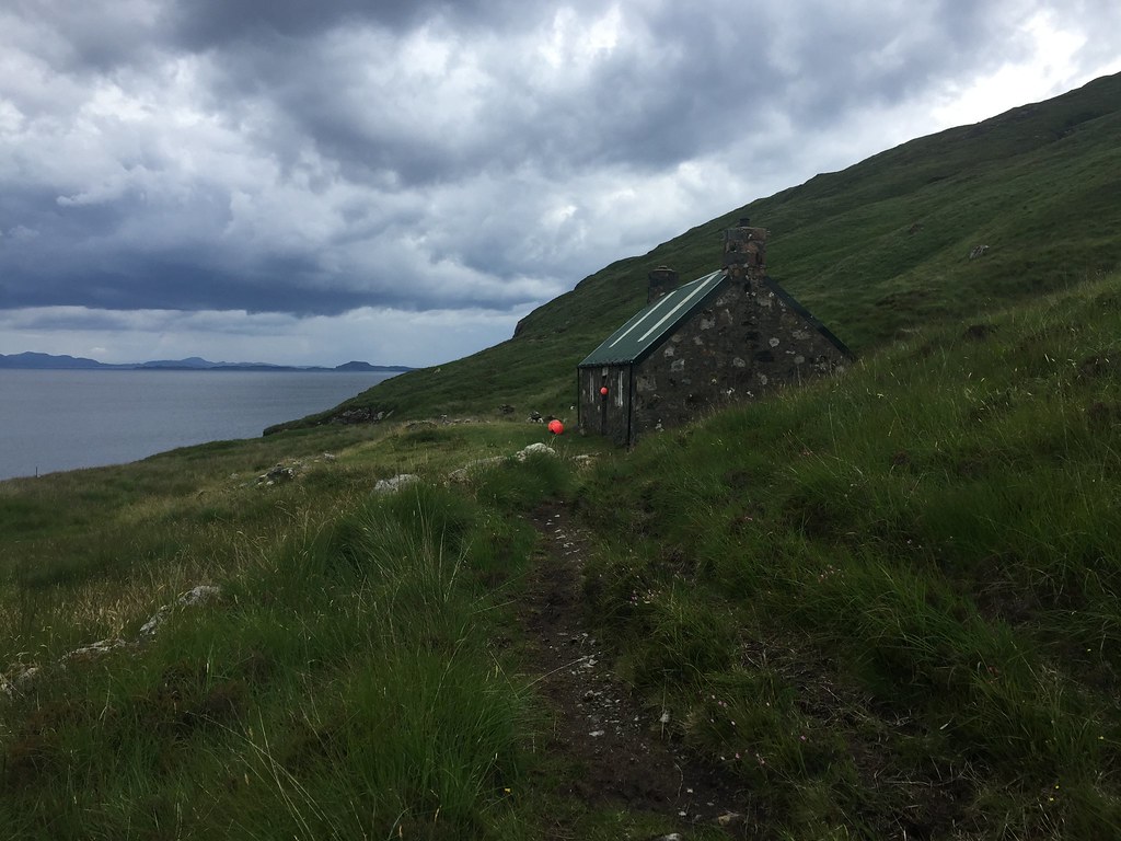 Dibidil - home for the next couple of days
 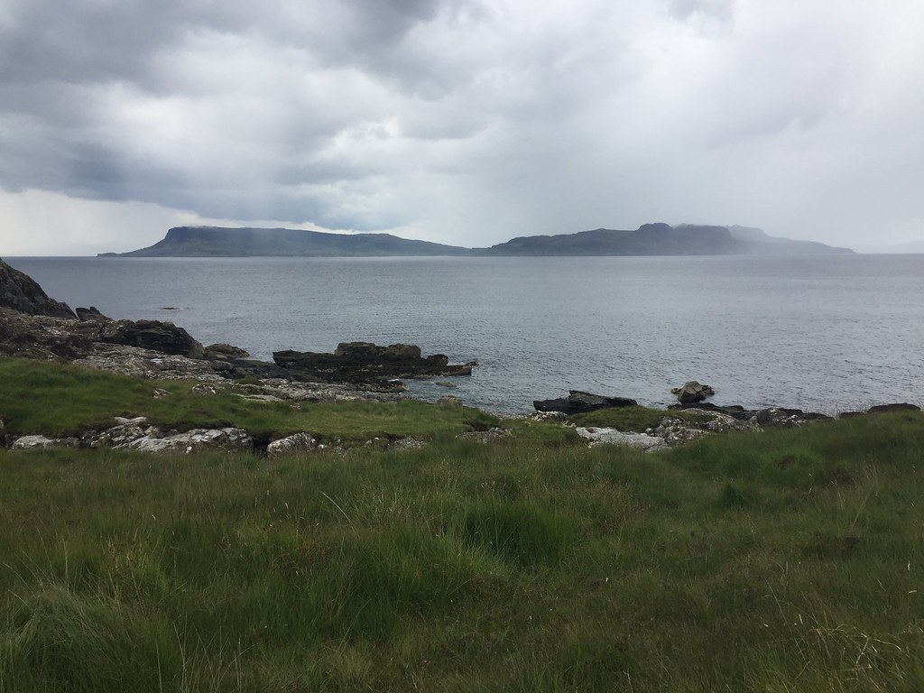 Showers moving in on Eigg
 Eventually the weather settled down. A couple of guys who had been on the same ferry as us rolled in looking rather wet from a traverse of Askival. By 5:30pm, we were ready to go and do the southern end of the ridge.
 Weather looks good over Eigg again
 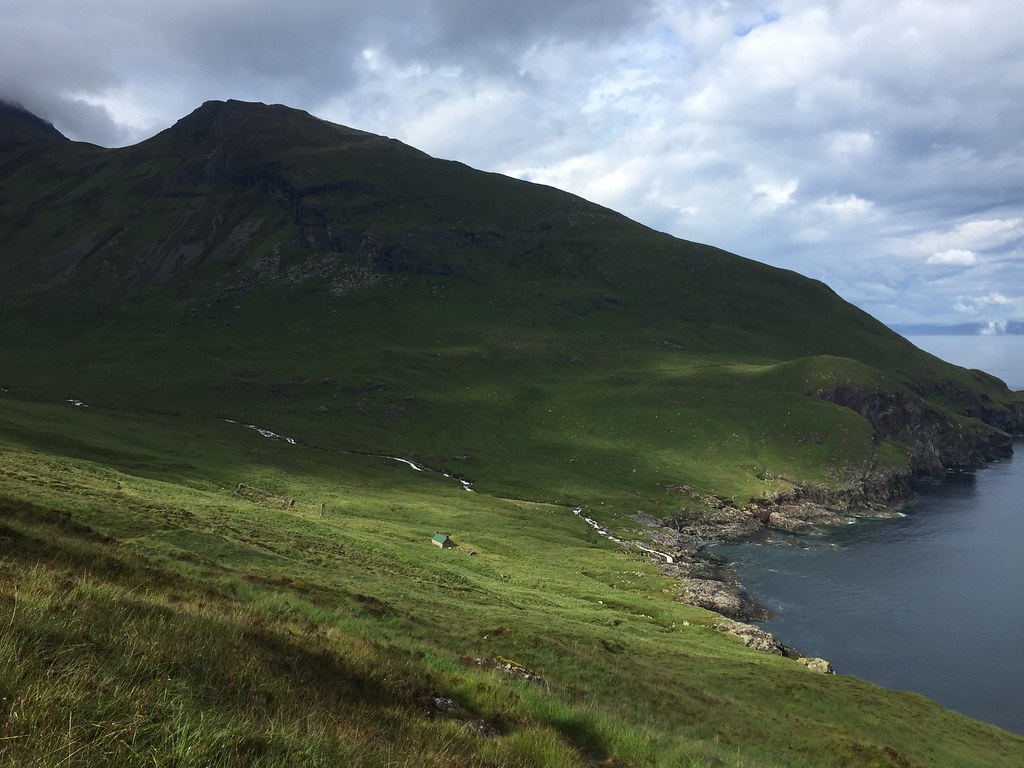 Back to Dibidil from the coast path
 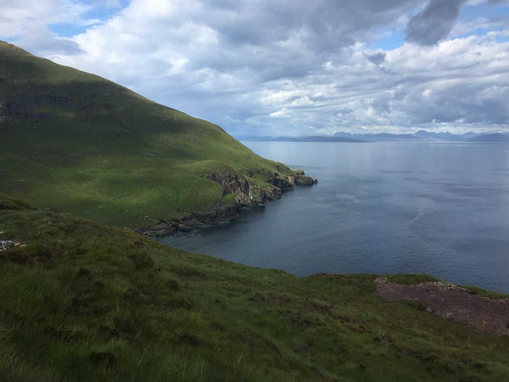 Looking north along the coast of Rum
 The coast path helps a little for getting started, but is still quite wet and rough. We soon left it and started ascending sharply up Sgurr nan Gillean. There were some threatening looking clouds about, but on the whole the weather was still improving.
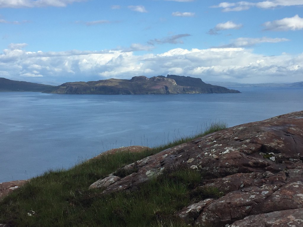 An Sgurr of Eigg
 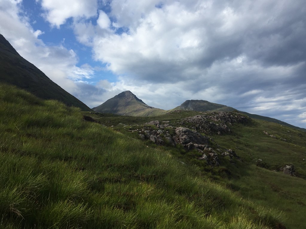 Askival makes an appearence
 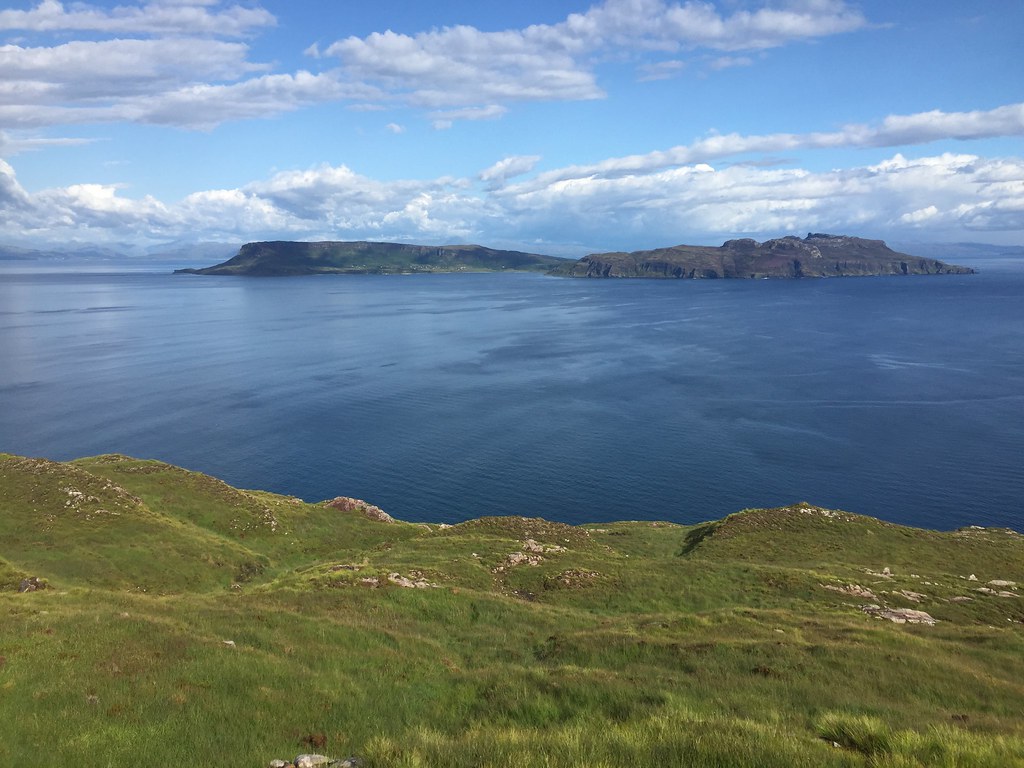 Eigg
Eigg 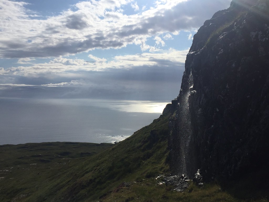 Getting higher
 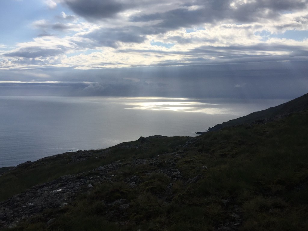 Out to the SW
 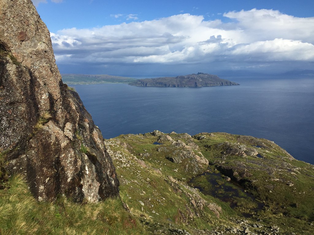 Eigg
Eigg 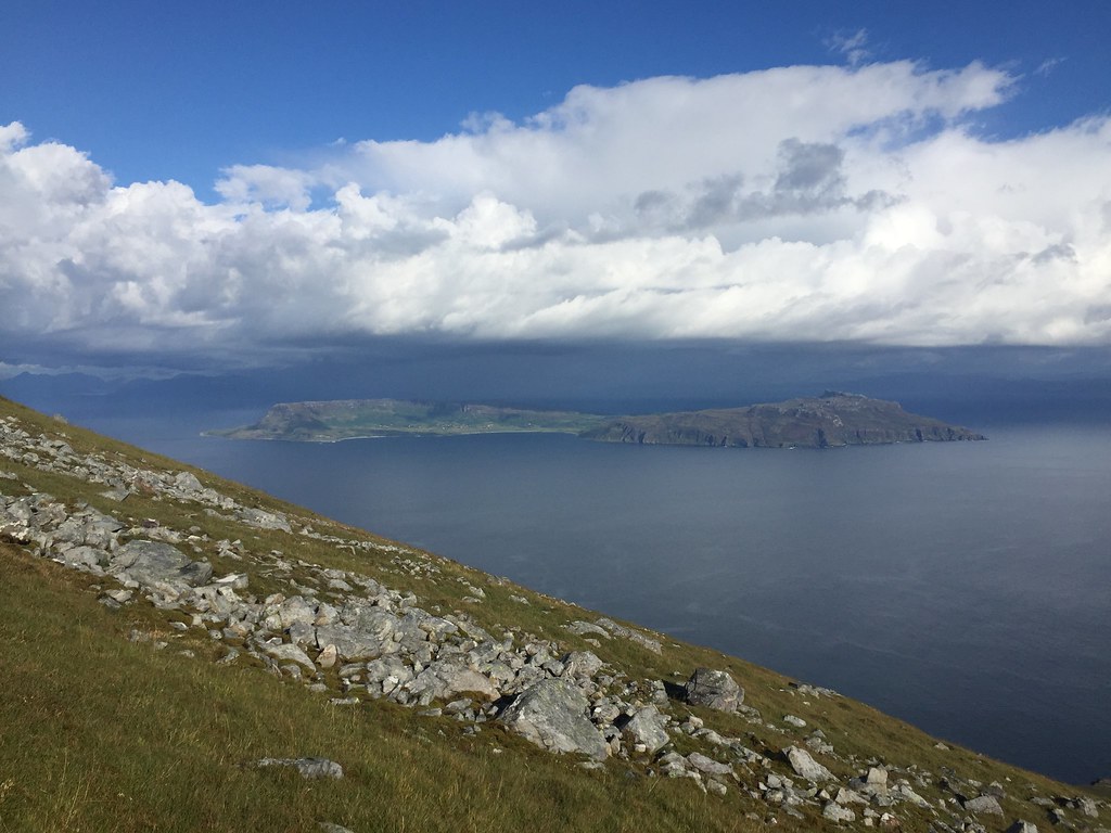 Eigg and some interesting looking weather
 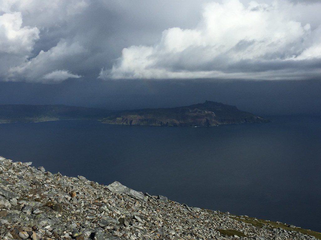 Is this weather going to hit us?
 Would we make the ridge before the bad weather hit? We did, and it was quite exhilarating to find ourselves on the summit of Sgurr nan Gillean on such a great evening. We started wondering - should we have summit camped?
 The view I was denied last time - Askival from Sgurr nan Gillean
 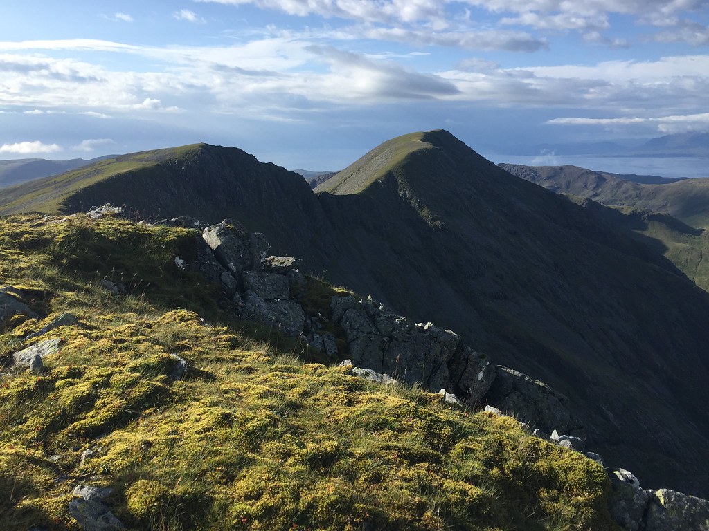 Ainshval and the southern end of the Cuillin ridge
 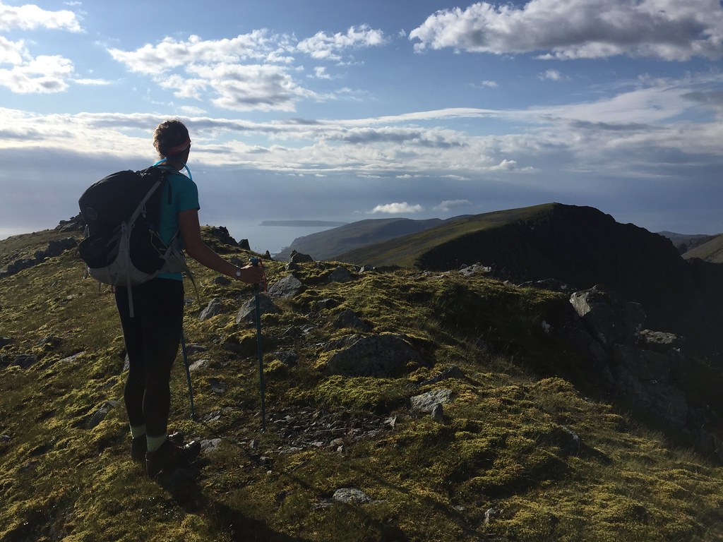 Jackie on Sgurr nan Gillean
 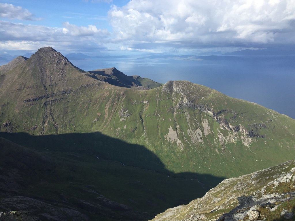 Beinn nan Stac
 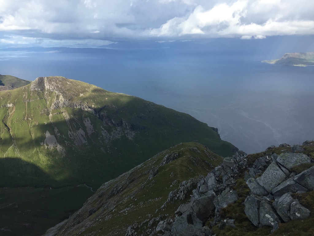 E ridge of Sgurr nan Gillean
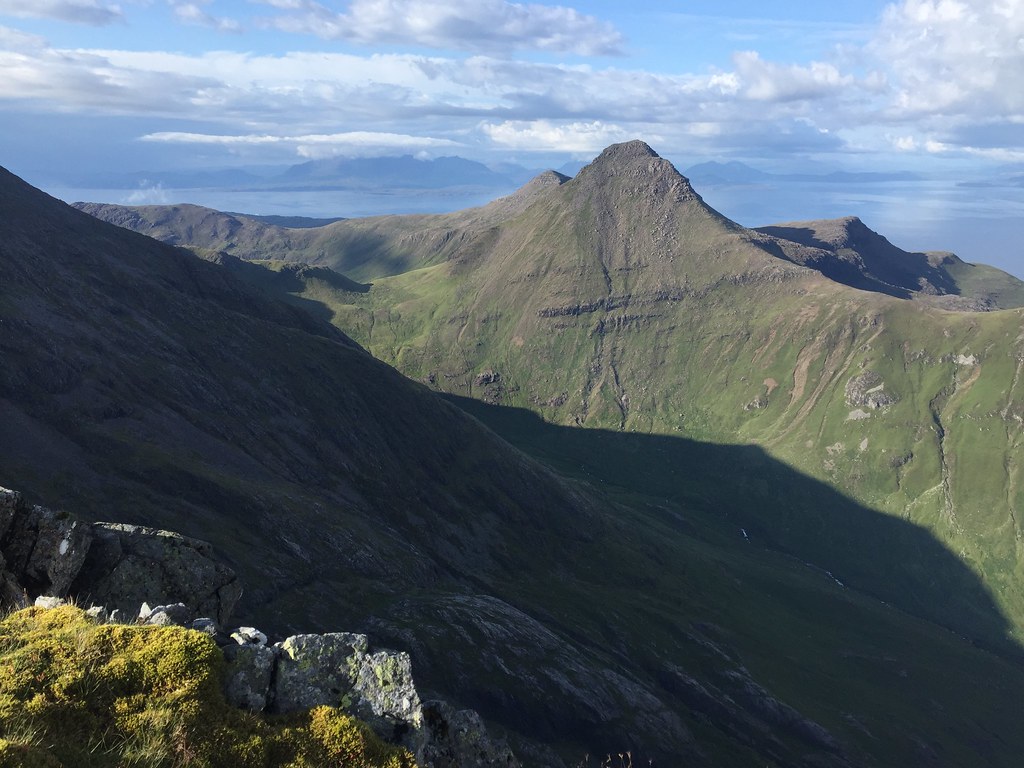
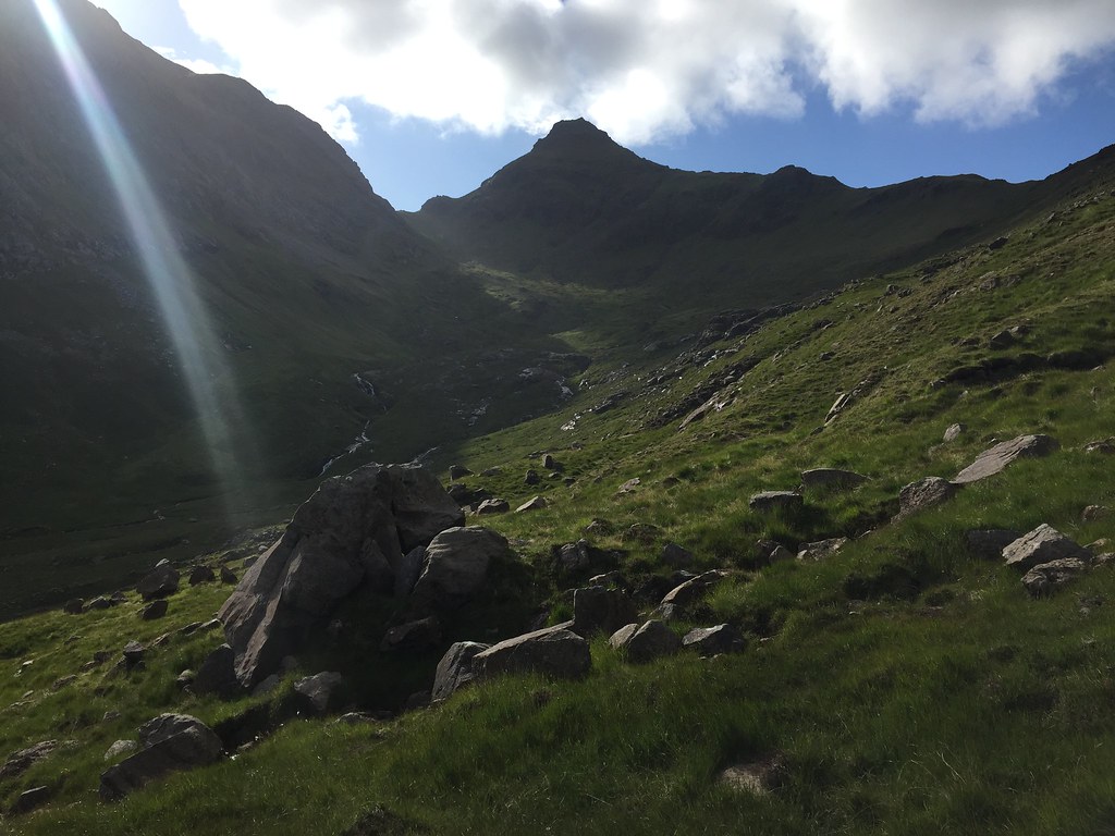
 The weather deteriorated a little as we headed towards Ainshval, and due to some drizzle and earlier rain, the rock was a little greasy. There were a few rogue gusts of wind too. But it was still waaay better than the conditions had been last time I was here.
 Descending Sgurr na Gillean
 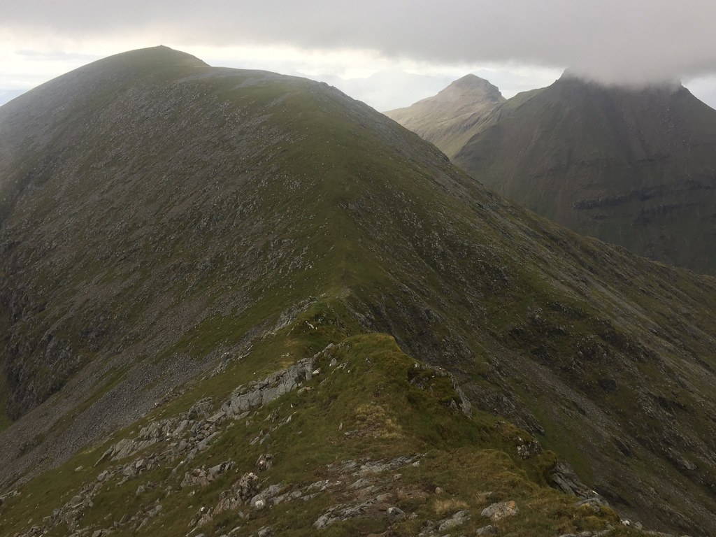 Cloud rolls in on the approach to Ainshval
 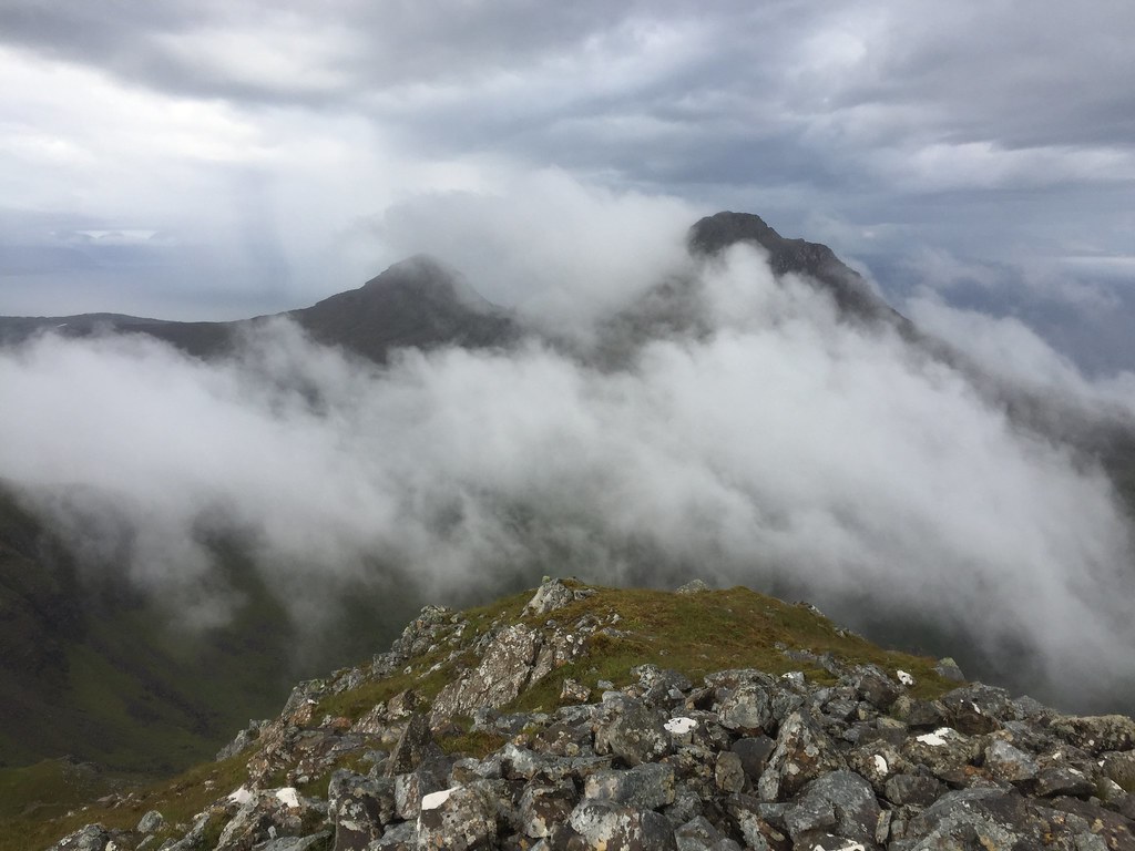 Askival
 We eased off the pace a bit in an attempt to get some views from Ainshval as a short burst of poor weather blew through, and sort of succeeded.
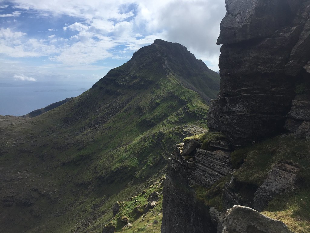
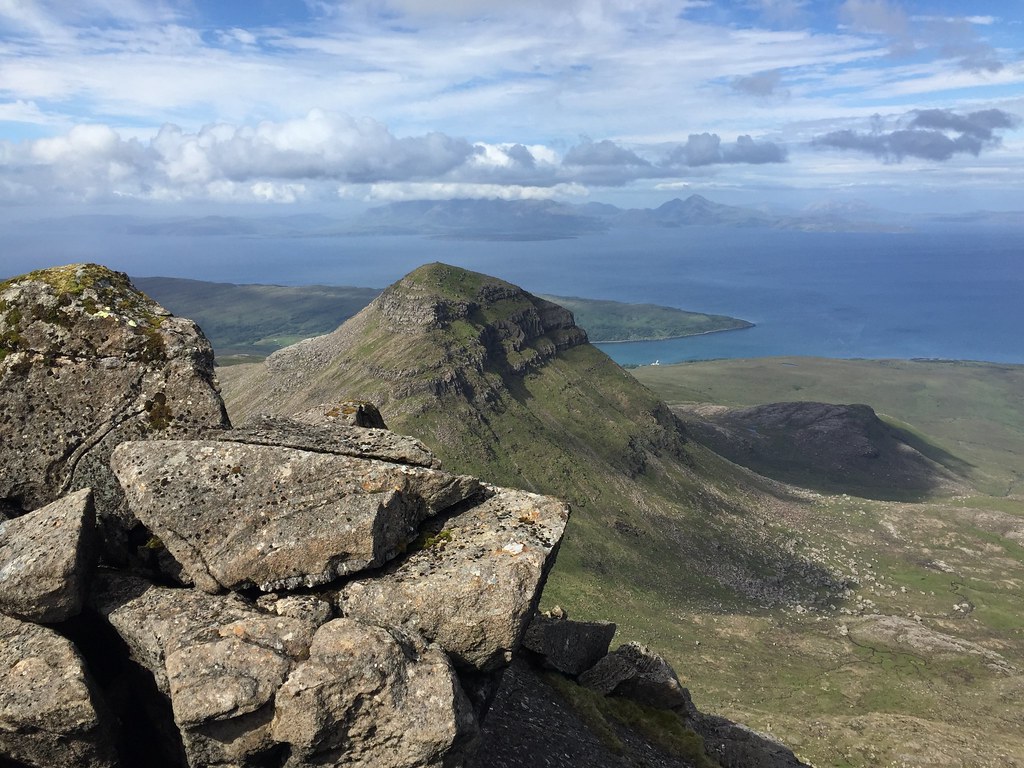
 Tralval from Ainshval
 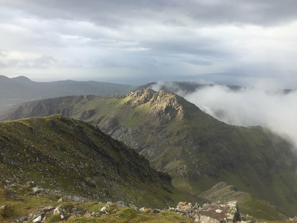 Tralval catching the sun
 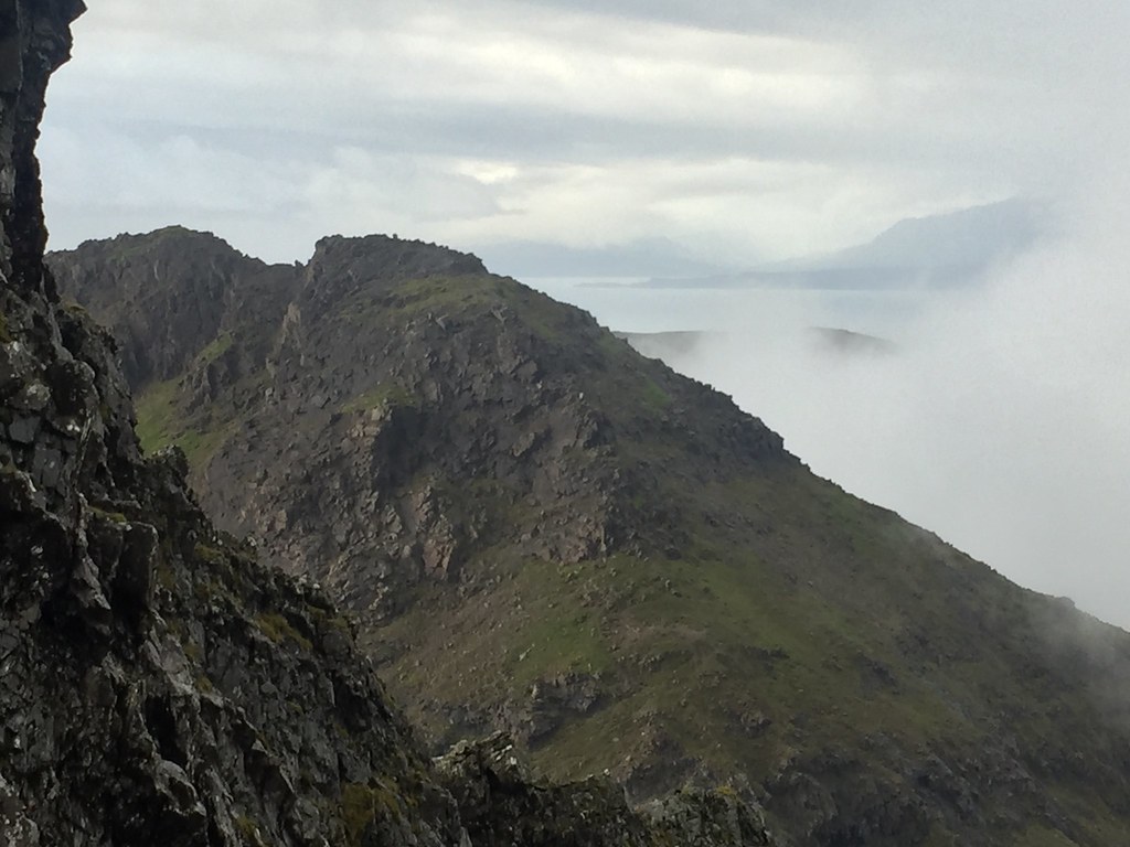 Ascent route on Tralval
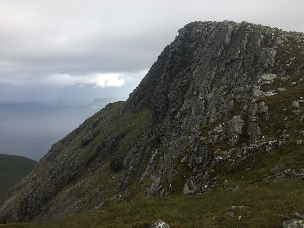
 Again the rocks were greasy descending the Grey Corrie of Ainshval - a couple of moves here were made awkward due to slipperiness. Still, it didn't take us too long to reach the foot of Tralval. I had given this a swerve last time due to the poor weather, but I had a feeling it would be far easier than its ferocious look suggested.
 Descending the Grey Corrie of Ainshval
 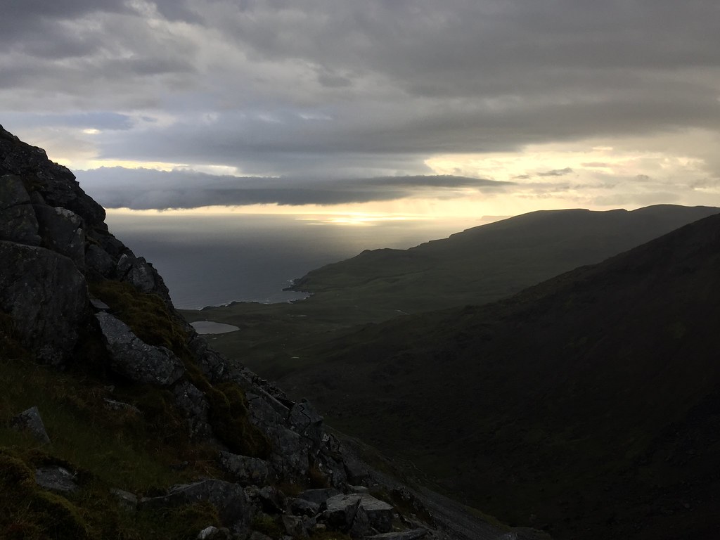 Could be a good sunset later...
 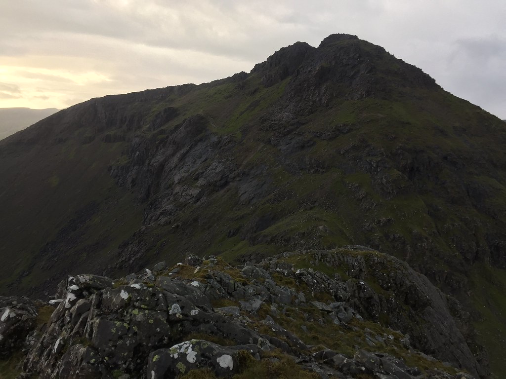 Looking up the S ridge of Tralval
 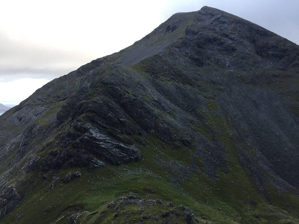 Back up Ainshval
 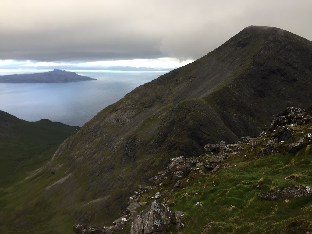 Eigg and Ainshval
 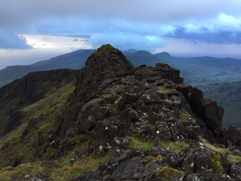 Exposed summit ridge of Tralval
 The ascent was fine - a couple of scrambling moves and we were on the eastern summit. There was a distinctly forbidding feel to the atmosphere as we traversed the exposed summit ridge, being quite dark and moody as well as windy. But I knew the going was almost always easier than it looked. I thought I would try and replicate my cowering Graham completion pose from a couple of years ago.
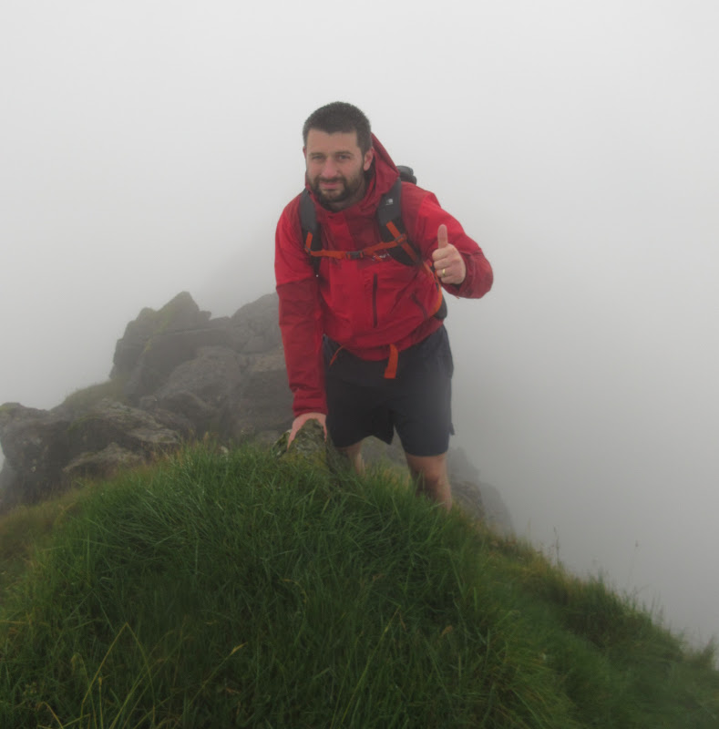
[url]2016 version[/url]
 2018 version
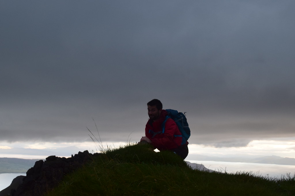
No cowering for Jackie though...
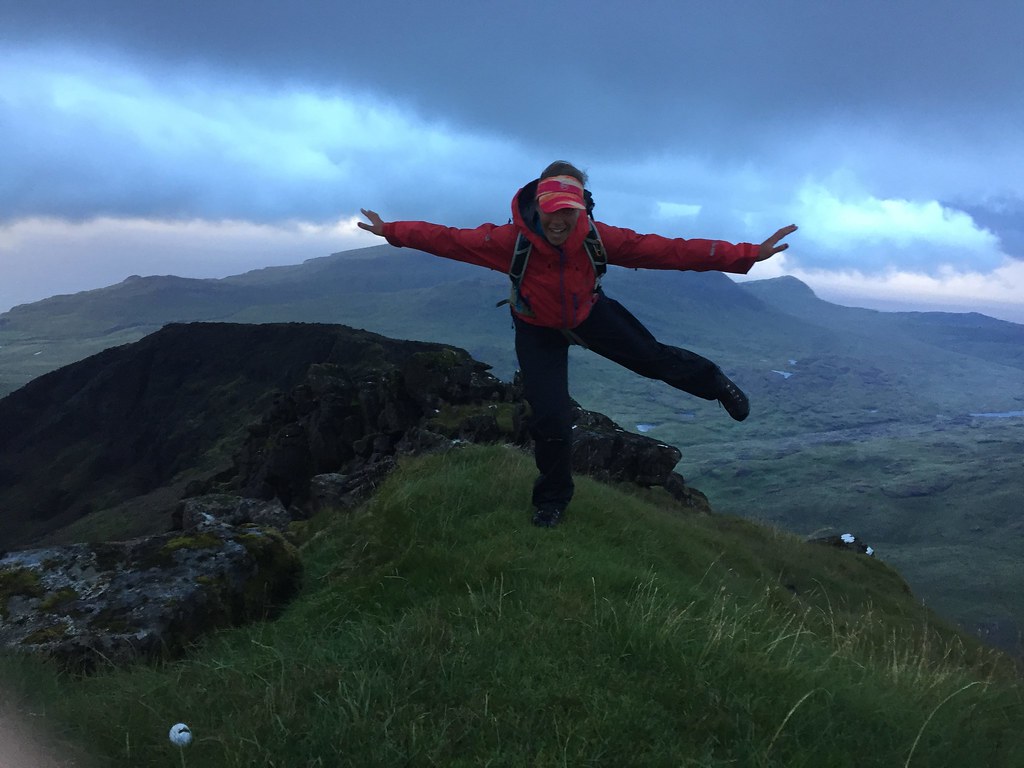 Jackie on Tralval
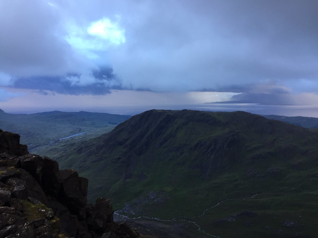 Barkeval
 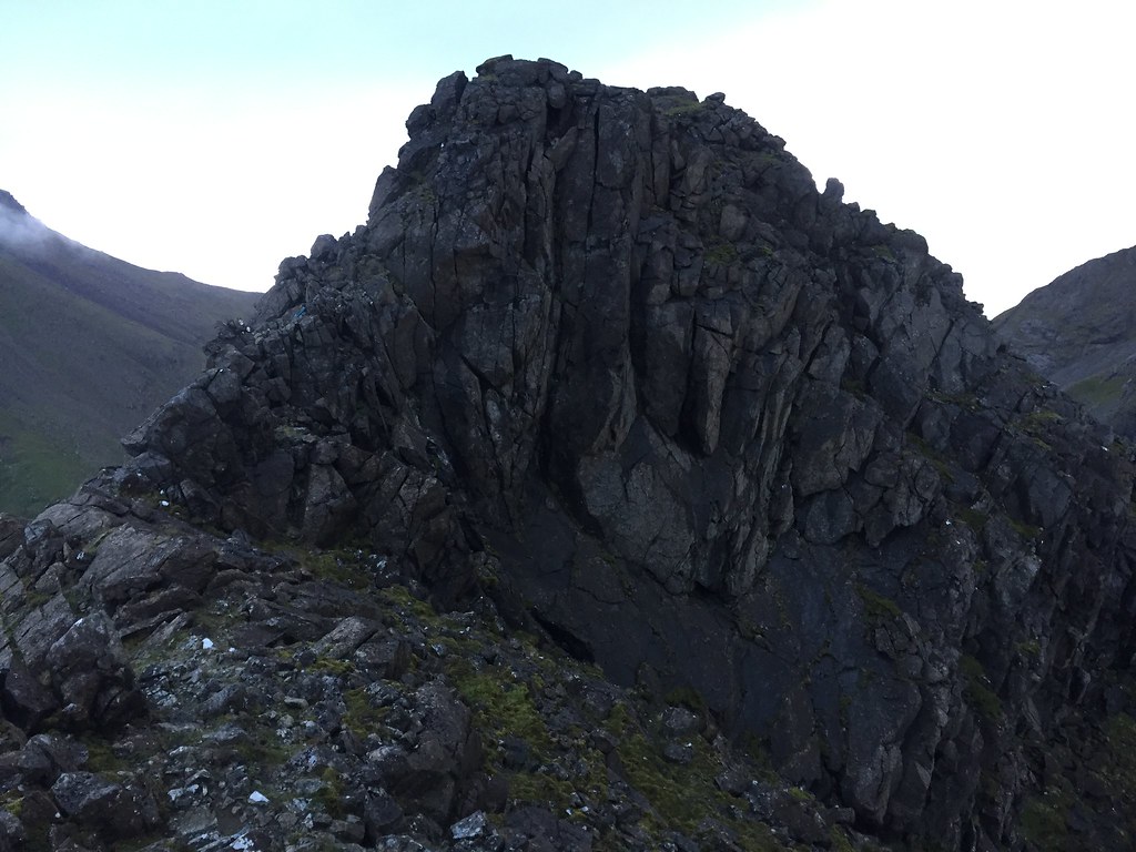 Back to the SE summit of Tralval
 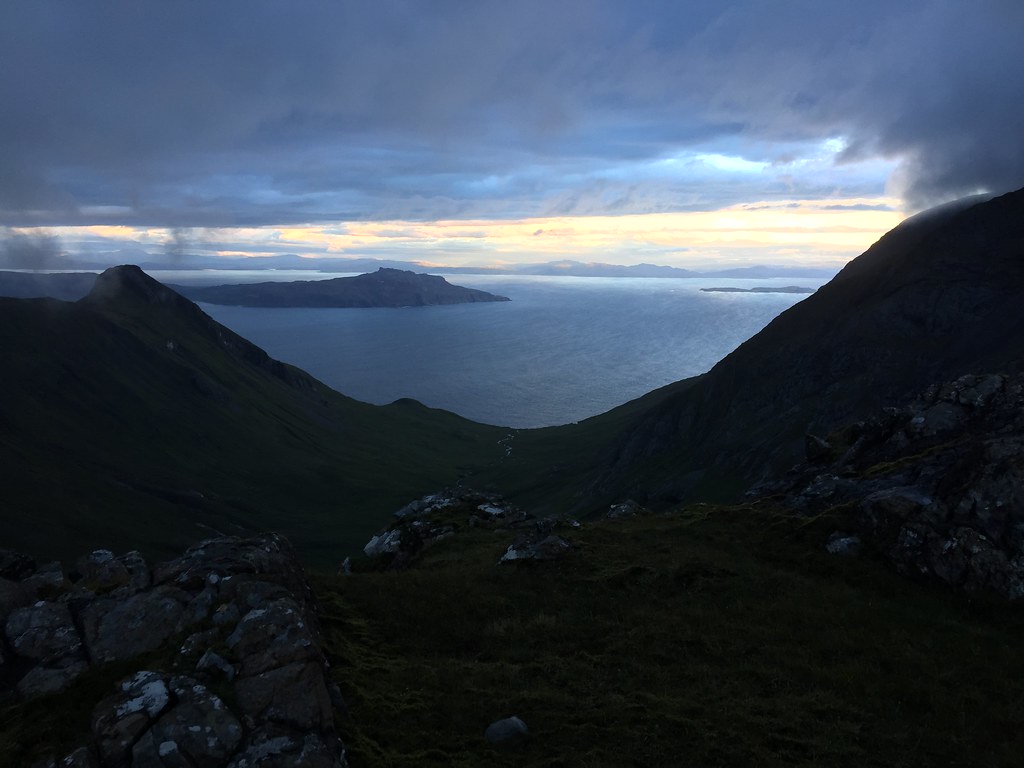 Eigg from Tralval
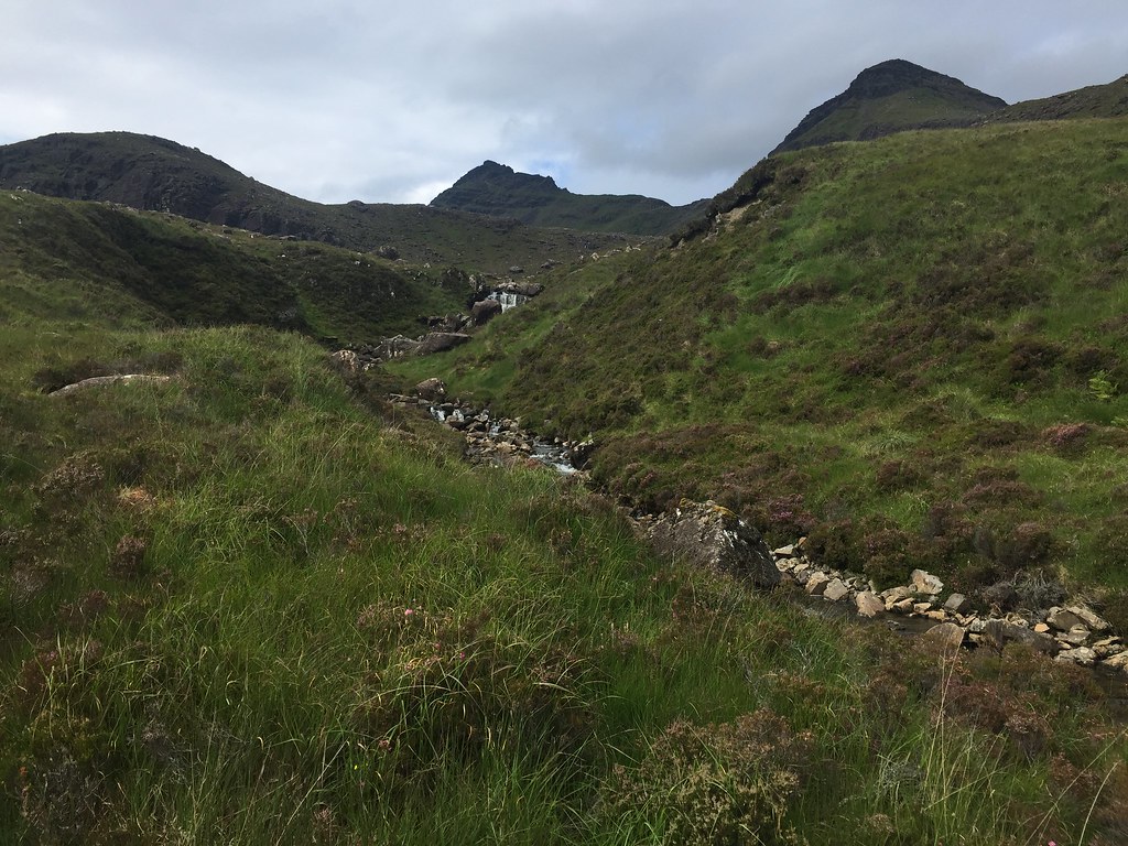
 Then it was time to retreat to lower ground via Bealach an Oir, satisfied with a pretty good evening out. That certainly beat the 2016 version of the same walk! We crossed over the Dibidil River higher up as it was smaller here, and were rewarded with a rough squelch back to the bothy.
 Bothy evening
 There is a decent 4G phone signal in the bothy - who would have expected that from one of the loneliest spots in the country! We made use of it to re-check tomorrow's weather. It was still looking promising for the afternoon, but an overnight storm with 80mph gusts had also crept into the synopsis - glad we had avoided a summit camp

.
_____________________________________________________________________
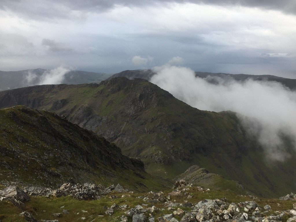
The wind and rain certainly rattled the bothy overnight, and although sunnier, it was still blowing fairly fresh in the morning. We didn't rush to leave, and opted to walk part-way back towards Kinloch first to gain the ridge north of Hallival.
 Pretty choppy the next morning
 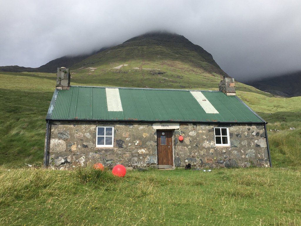 Dibidil Bothy
 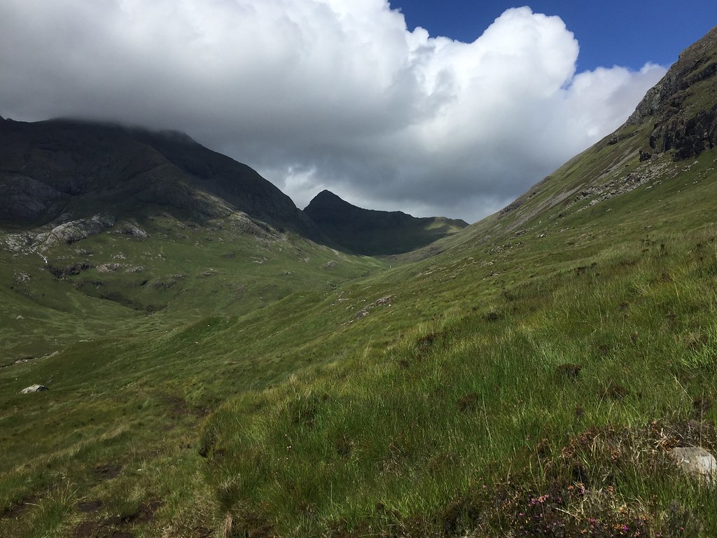 Tralval
 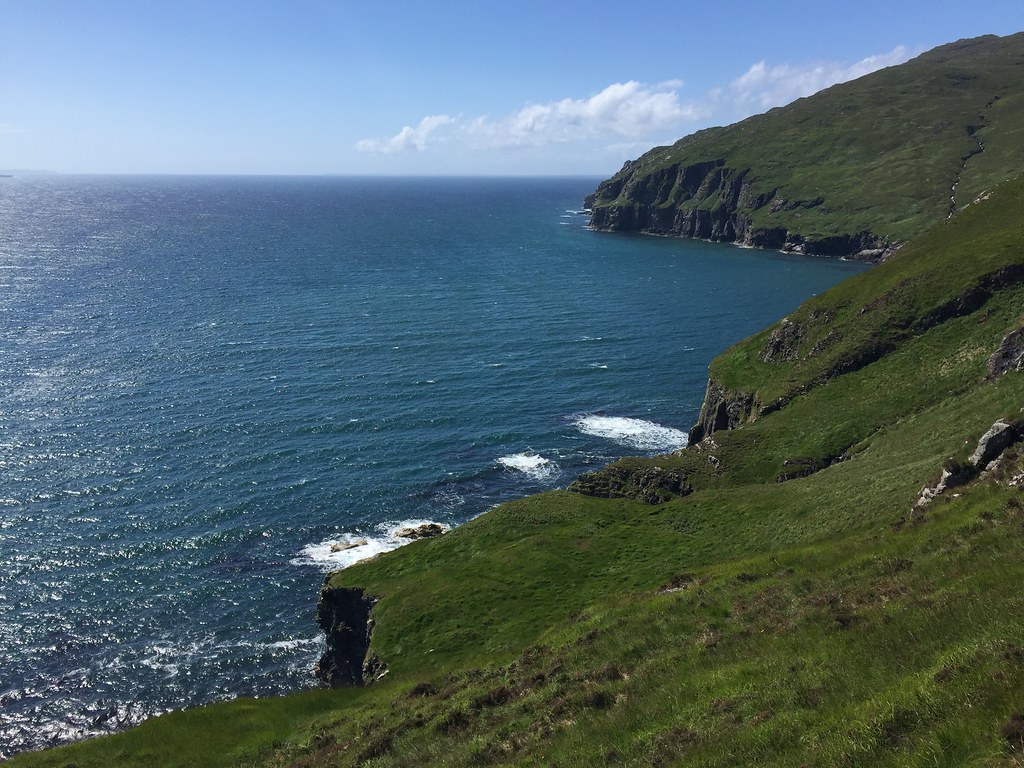 South down the coast from the Dibidil path
 The walk out seemed easier without heavier packs, and we soon cut off to climb up to Loch Coire nan Gruund. I'm glad we did as this was well worth visiting

. We were all set to clamber up to the col between Askival and Hallival when the conversation veered towards 'I bet you couldn't climb onto that boulder in the loch'. Well now...
 Hallival from Loch Coire nan Gruund
 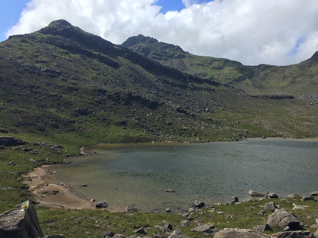 Askival
 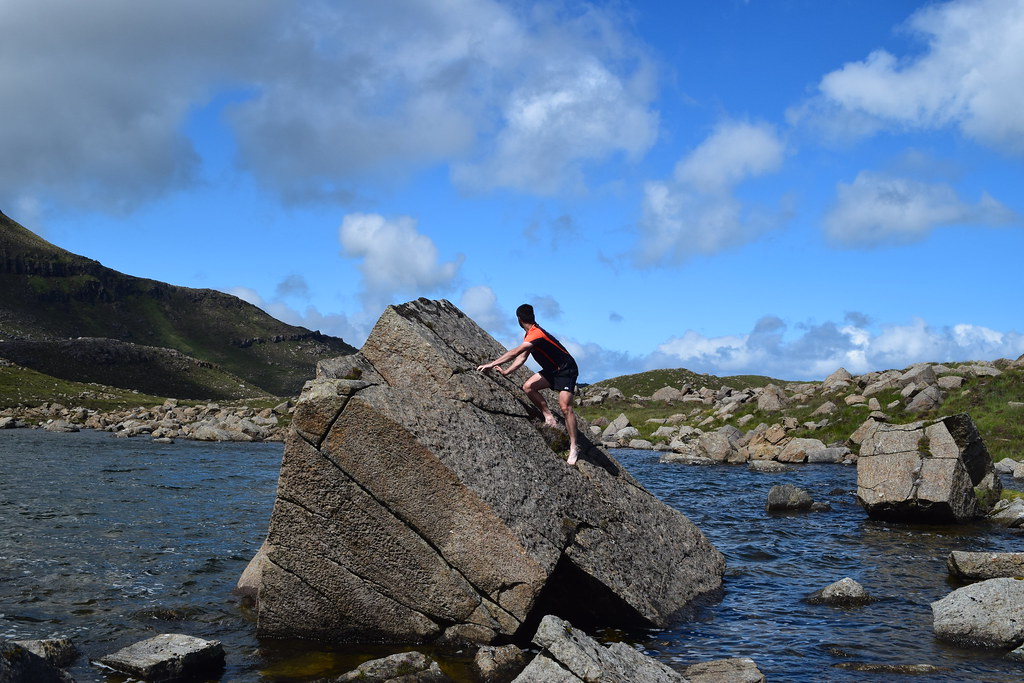 Watery bouldering
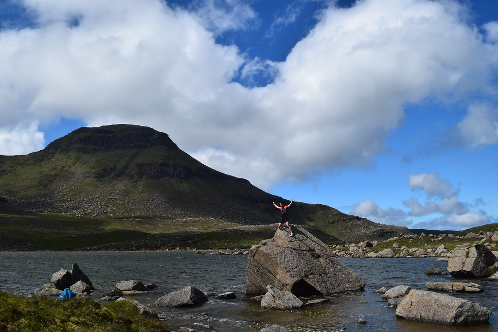 Made it!
I had to do it barefoot as some paddling was required to reach the thing in the first place, but it wasn't too bad, if a bit slopey
.
More messing around meant the wind had time to blow itself out, so we decided to approach Hallival by the eastern ridge rather than the col. This turned out to be easy enough by avoiding the prow of the ridge on the right. Still rather steep though.
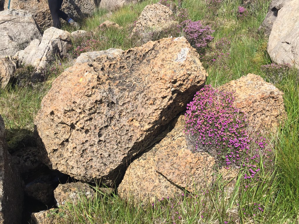 Interesting rocks
 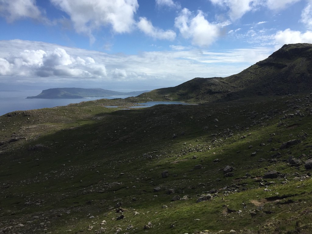 Loch Coire nan Gruund from the north
 The view of the ridge ahead was spectacular. It also looked very awkward, although we knew it was supposed to be straightforward. I had missed this section on my previous visit, which is why I was keen to take in Hallival today.
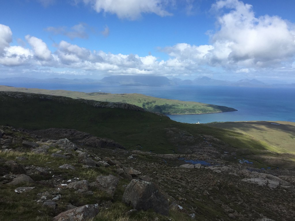 Skye across Loch Scresort
 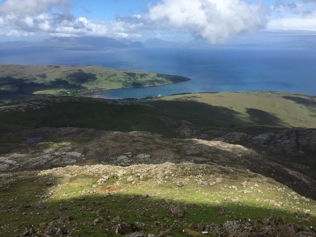 Loch Scresort
  Looking back into Coire nan Gruund
 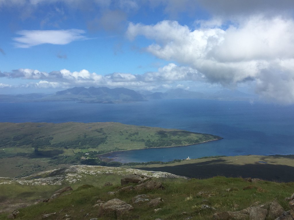 Kinloch and Skye
 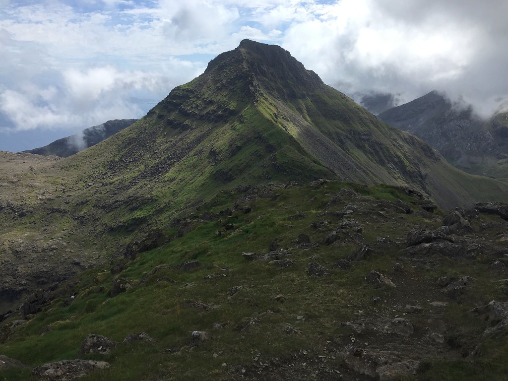 Askival from Hallival
 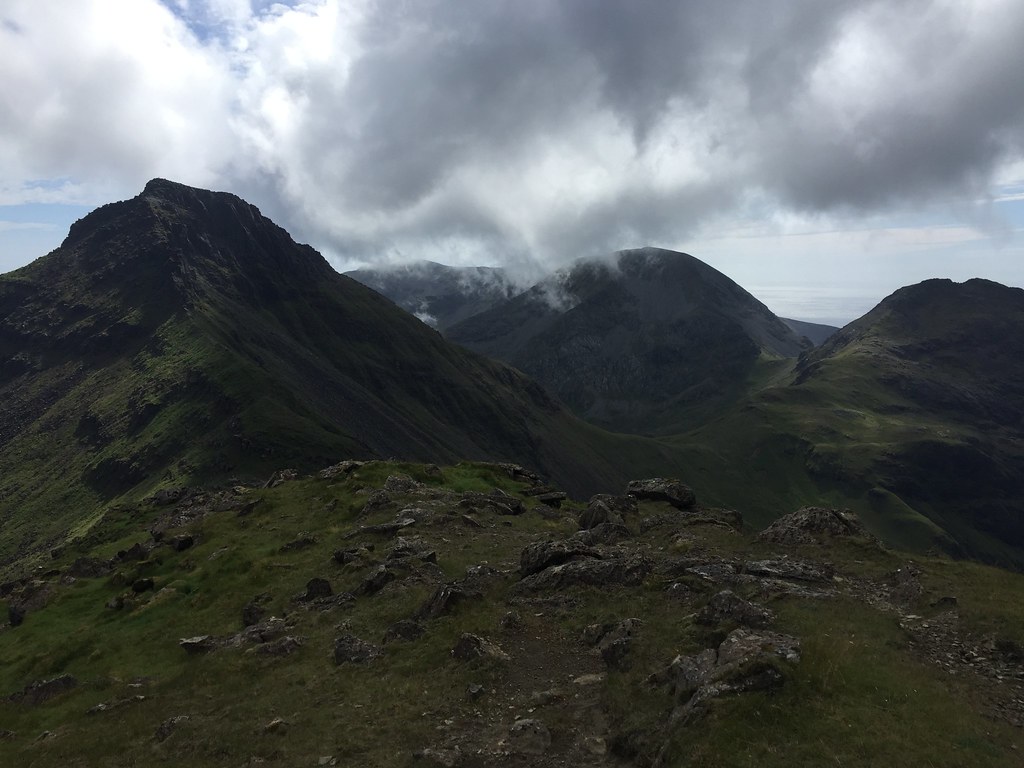 Tralval from Hallival
 We might have made a slight route error descending from Hallival, but it was soon corrected, and we were headed directly for the Askival pinnacle. Not keen to end my life just now, we opted to traverse below this on the eastern side and climb steeply back up to the ridge. These must be some of the roughest, most exciting looking hills outside of Skye
.
 Askival
 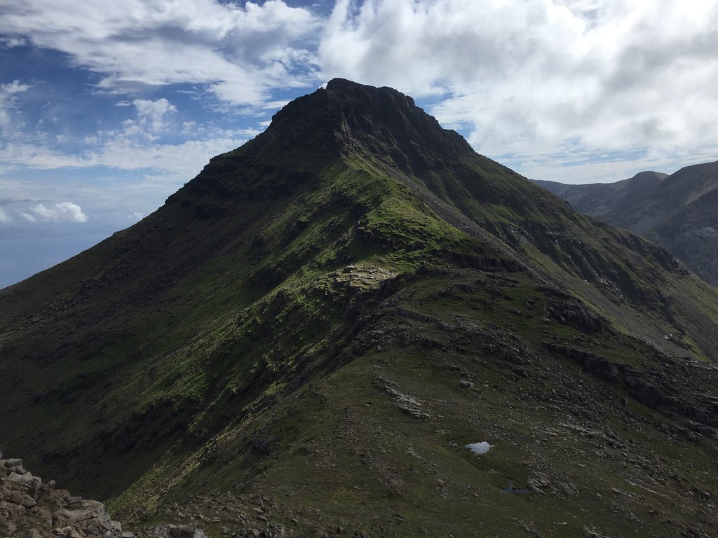 Approaching Askival
 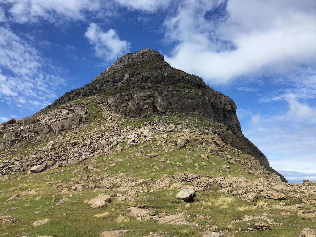 Looking back up Hallival
 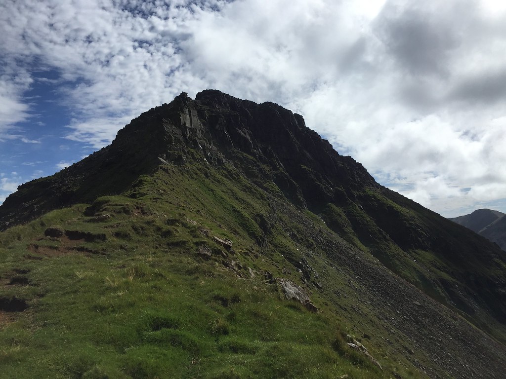 N ridge of Askival including the Askival Pinnacle
 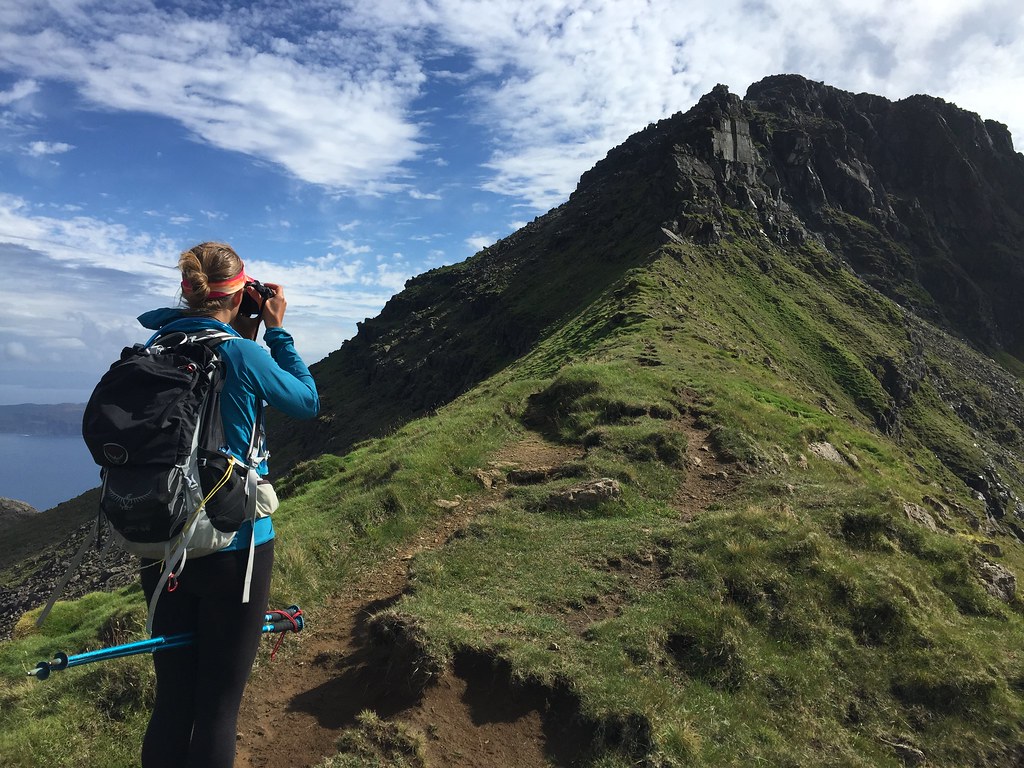 Approaching the pinnacle
 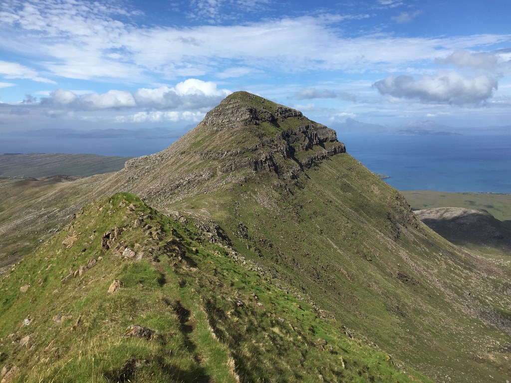 Looking back to Hallival
 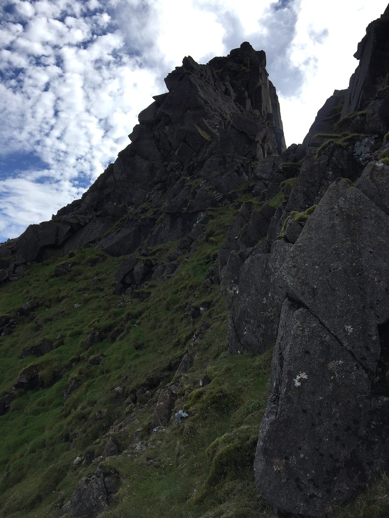 Askival Pinnacle
 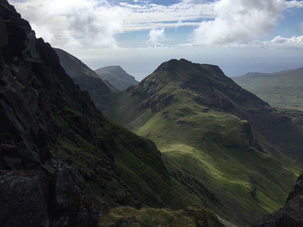 Tralval
 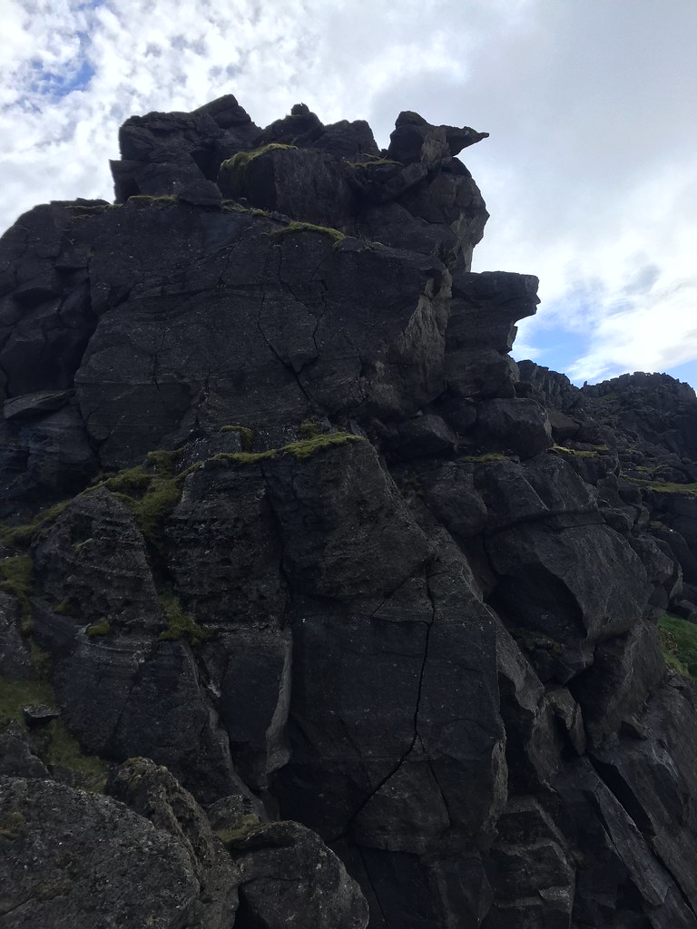 Above the pinnacle on the N ridge of Hallival
 And then we were on the top in warmth and bright sunlight - hard to believe that we managed the weather we did given the constantly changing forecast! This more than made up for my Corbett completion, which had been a slight anti-climax due to the weather.
 Hallival and Skye
 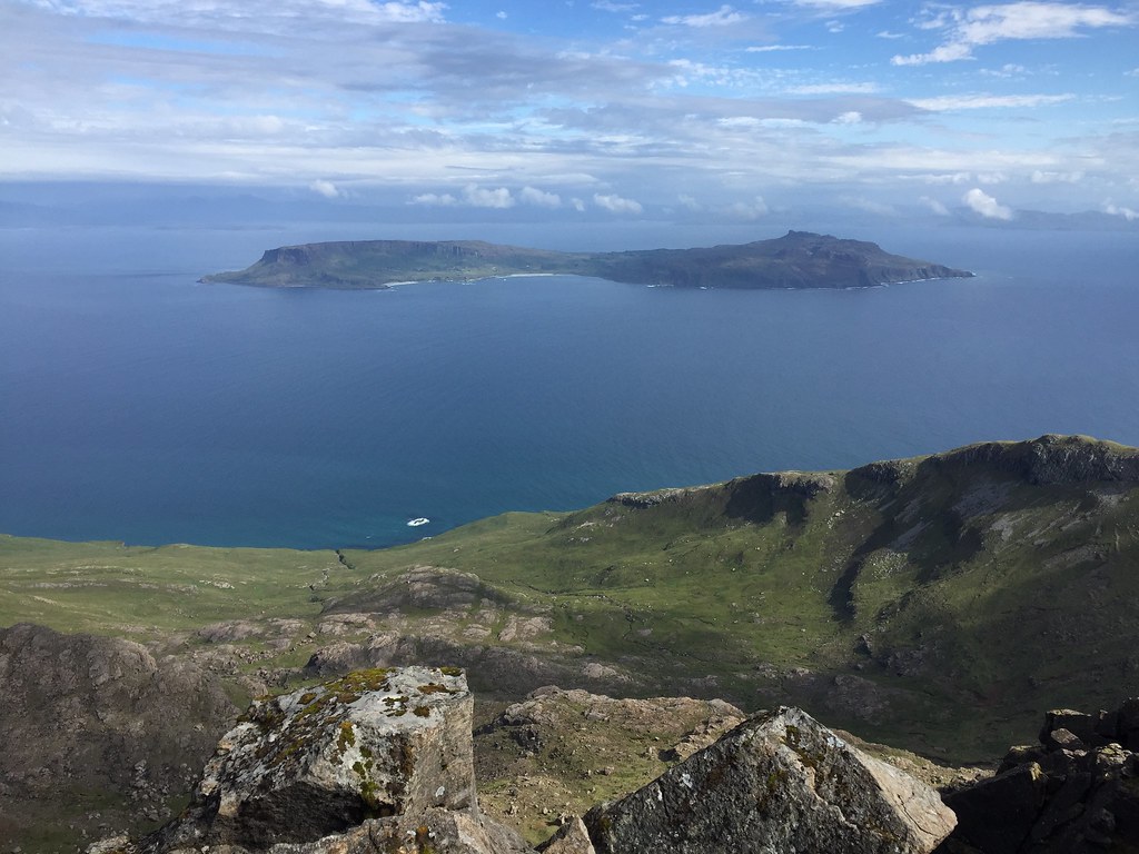 Eigg from Askival
 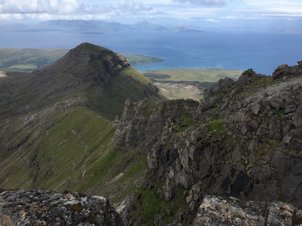 Hallival and the N ridge of Askival
 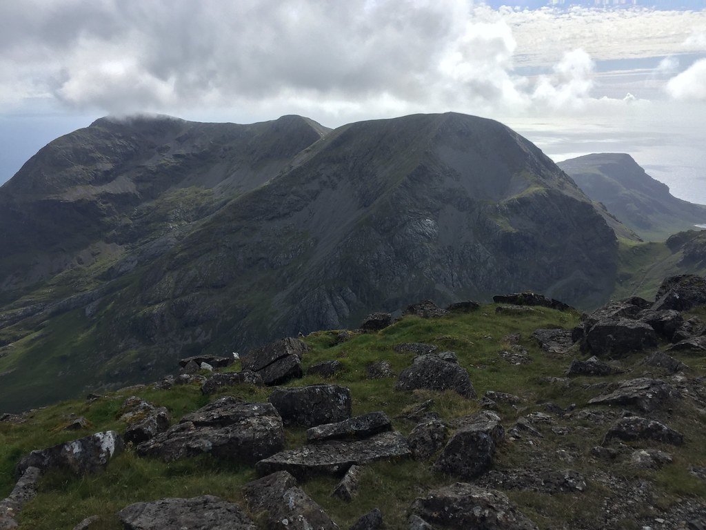 Ainshval
 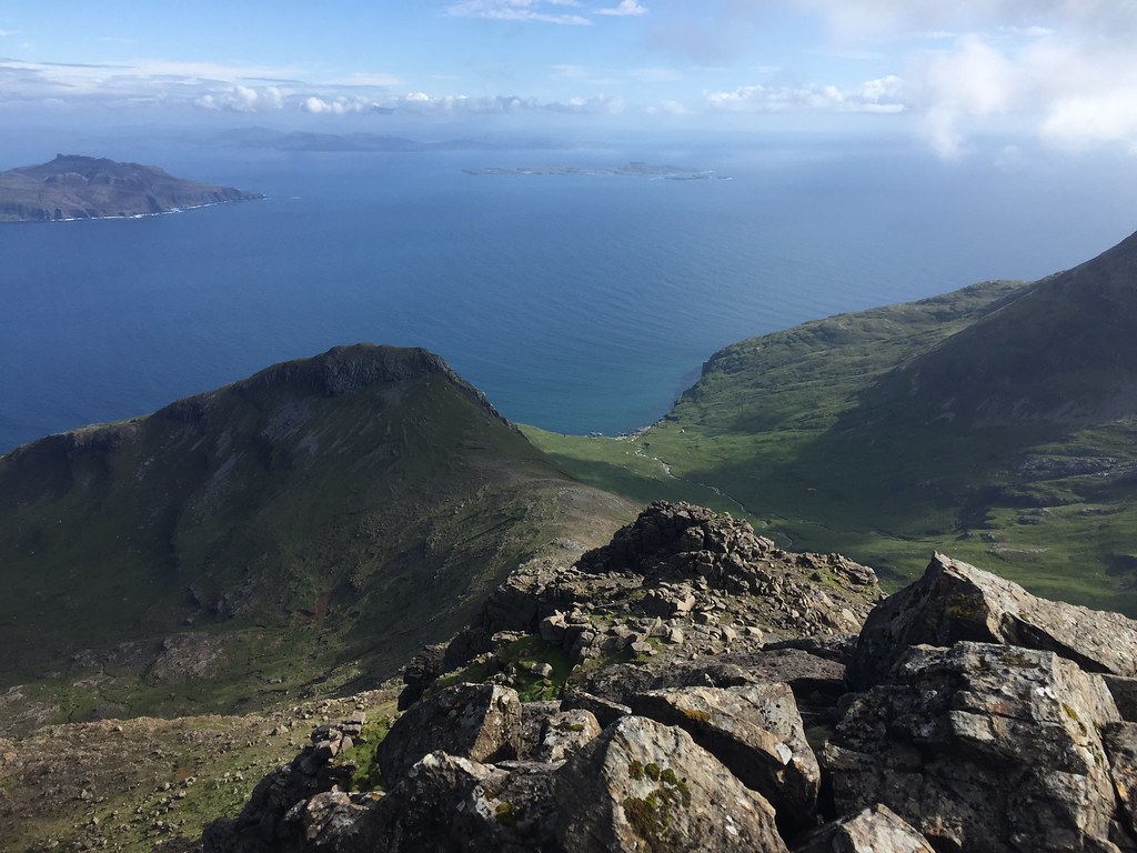 Looking down Coire Dibidil
 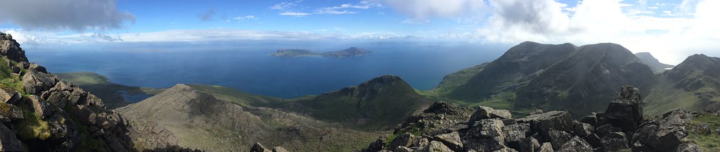 Eigg and Beinn nan Stac
 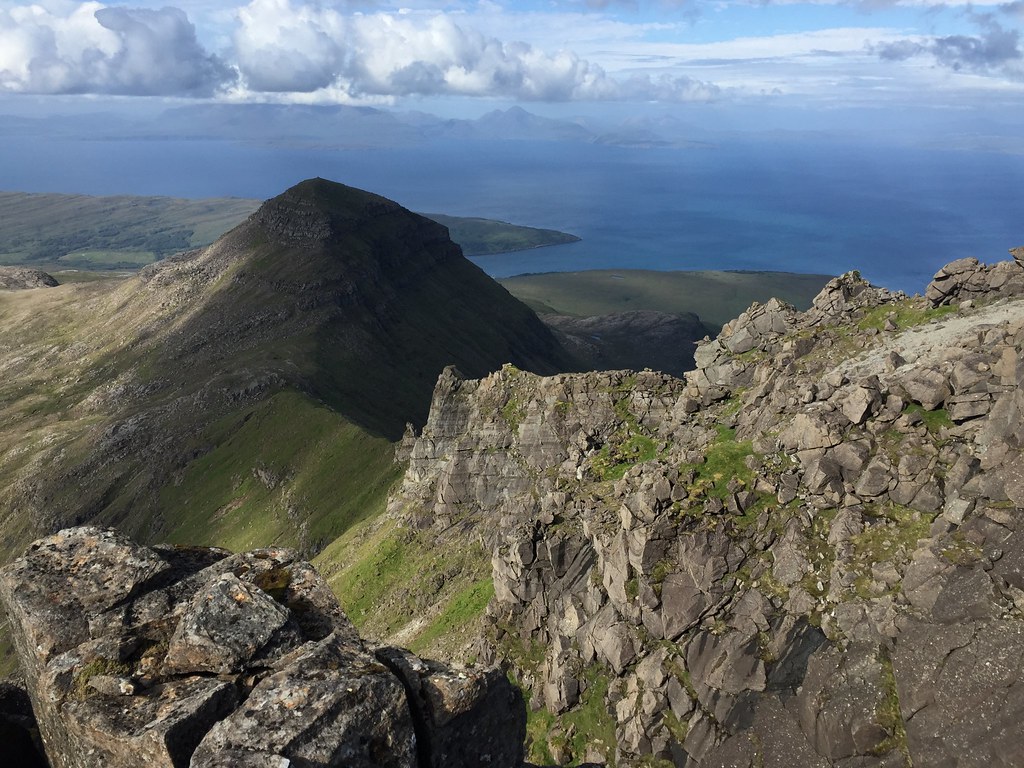 Hallival
 We started down the ridge to Bealach an Oir after a rather long break, but soon veered off onto the southern slopes of Askival. Although these were steep and a little awkward in places, they dropped us right back down to the floor of the glen in less than an hour. This time we stuck to the north side of the river which turned out to be much drier. Another quick dip in the river pools rounded off a perfect day
.
 Looking back to Tralval
 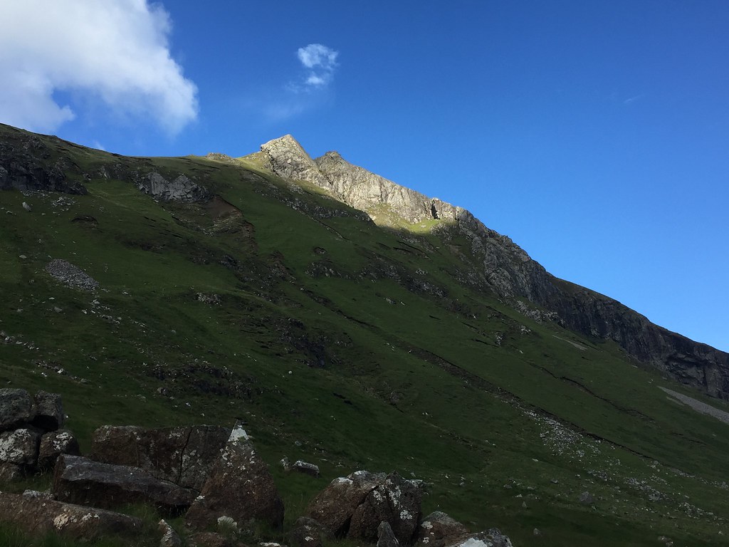 Southern slopes of Beinn nan Stac
 ____________________________________________________________
There were 6 of us in the bothy this evening over 2 rooms, so plenty of space. We were up at a reasonably sensible time the following morning for the walk-out. This wasn't really required for the ferry times, but heavy showers had been forecast later on.
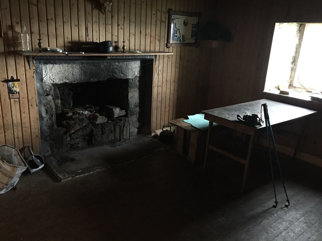 Inside Dibidil
 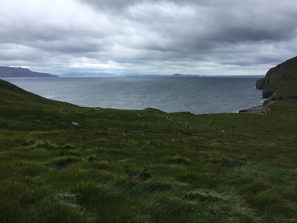 Ardnamurchan and Muck
 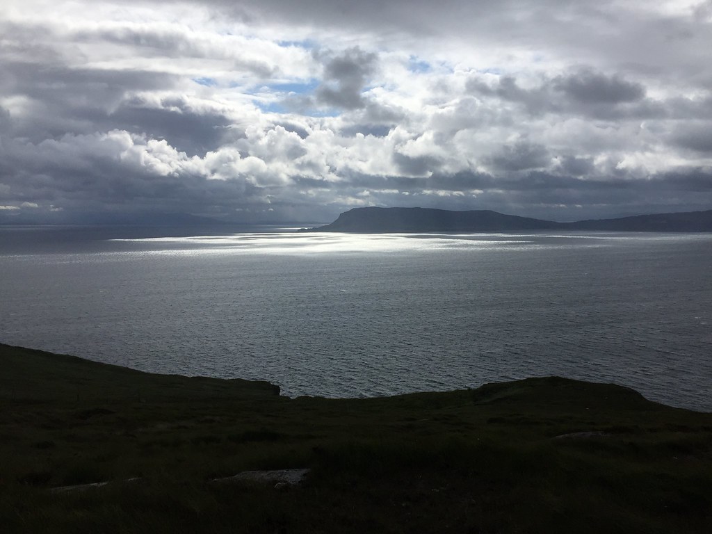 N end of Eigg
 The walk-out was a bit drizzly and damp but not too bad. On the way we passed a large group of scouts who were bound for the bothy - we had been pretty lucky not to be there the same night as them! We were unsure whether to spend the time taking a ferry journey out to Canna and back or sitting in the café in the village hall - as it was due to get rougher out at sea, we opted for the latter.
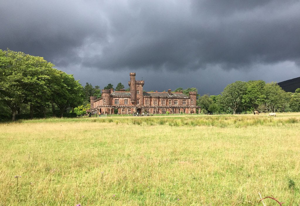 Kinloch Castle
 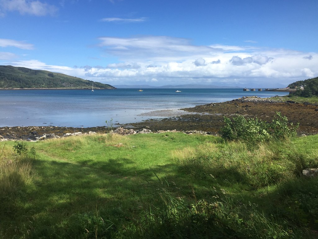 Loch Scresort
 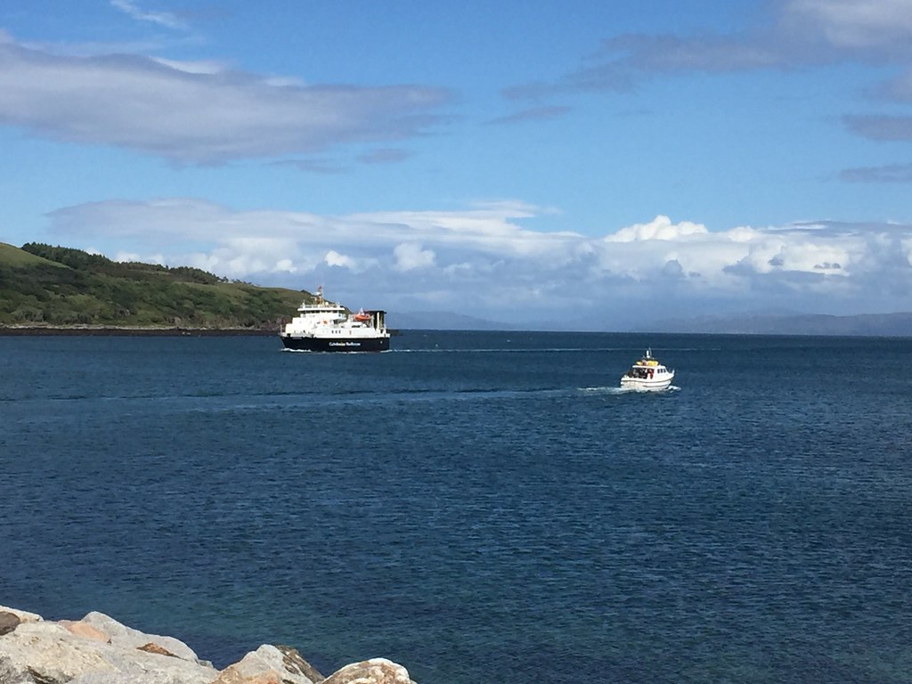 Ferries in Loch Scresort - Calmac and MV Shearwater
 Then it was a leisurely wander to the ferry via the campsite showers - the trip wasn't over yet, but would we manage to pull off the second part of our scheme...? (
Link to second part)
