free to be able to rate and comment on reports (as well as access 1:25000 mapping).
Another opportunity to visit a few more different hills on my way home from my monthly trek down to Englandshire. I am rapidly running out of hills to the east of the A74 and hopefully by the end of the year I will have to venture across the road - so to speak.
A huge thanks again to Inca as I literally followed your route. At the planning stage I did look at other options and approaches for the three hills, but after carefully working out timings and routes Inca's looked to be by far and away the best. Having said that with hindsight an approach from the NW in these conditions may have been better, however there would have been a forest to negotiate.
My plan was to tackle Ellson Fell then nip up the A7 for a mile or so and then tackle Pikethaw Hill and The Wisp, the weather made sure I was only doing one hill.
The weather I mention is the tail end of 'Tropical Storm Ernesto', the only consolation for me was that it wasn't cold. I mention in the title about lesson learned, that refers to waterproof gear. I checked the forecast every day prior to heading south on Friday and it looked OK so I made an executive decision not to bring my waterproof trousers. This turned out to be a stupid oversight as walking through knee deep wet grass, mixed with bracken both of the very wet variety. I had my gaiters on but as the green stuff was deep, even before I started ascending the final part of Ellson my feet were sloshing around in my boots. If you have never experienced this, let me tell you it is not remotely pleasant. It wouldn't have mattered if I had worn wellies I would still have had wet feet.
The route that Inca created would be very pleasant in half decent conditions.
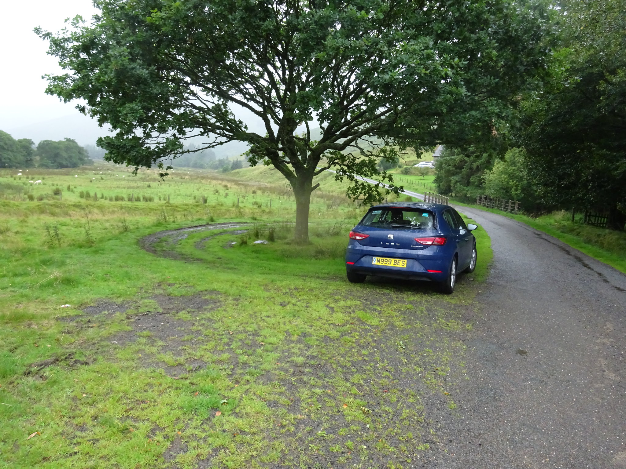
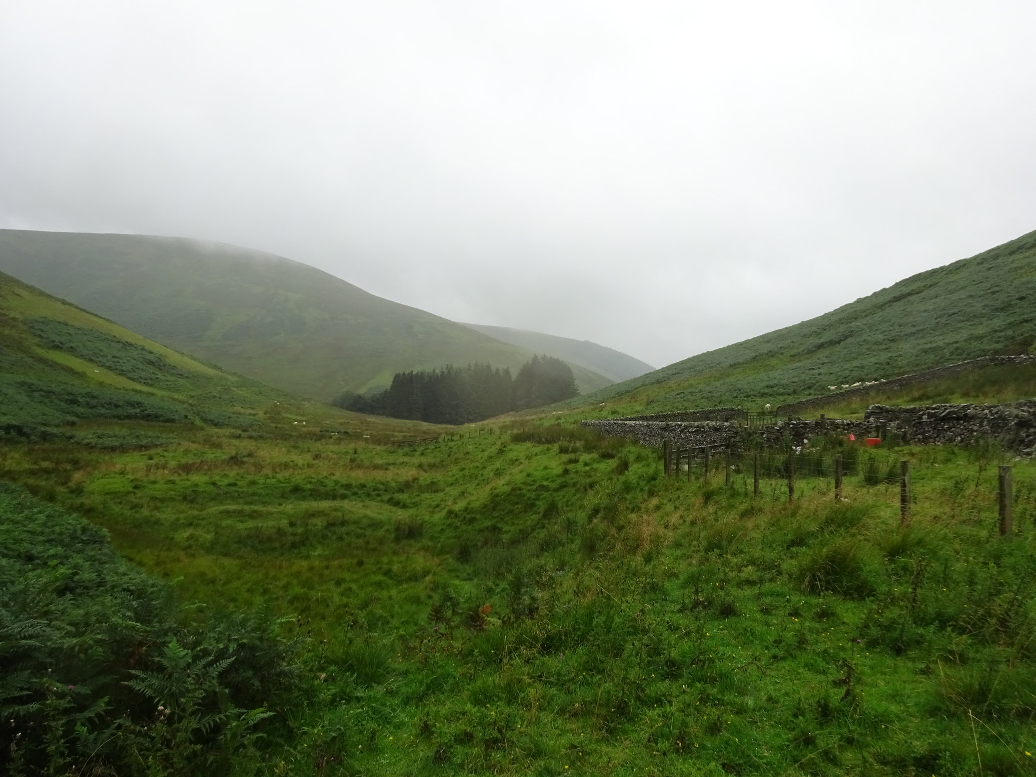
Nice little parking area, even a turning circle
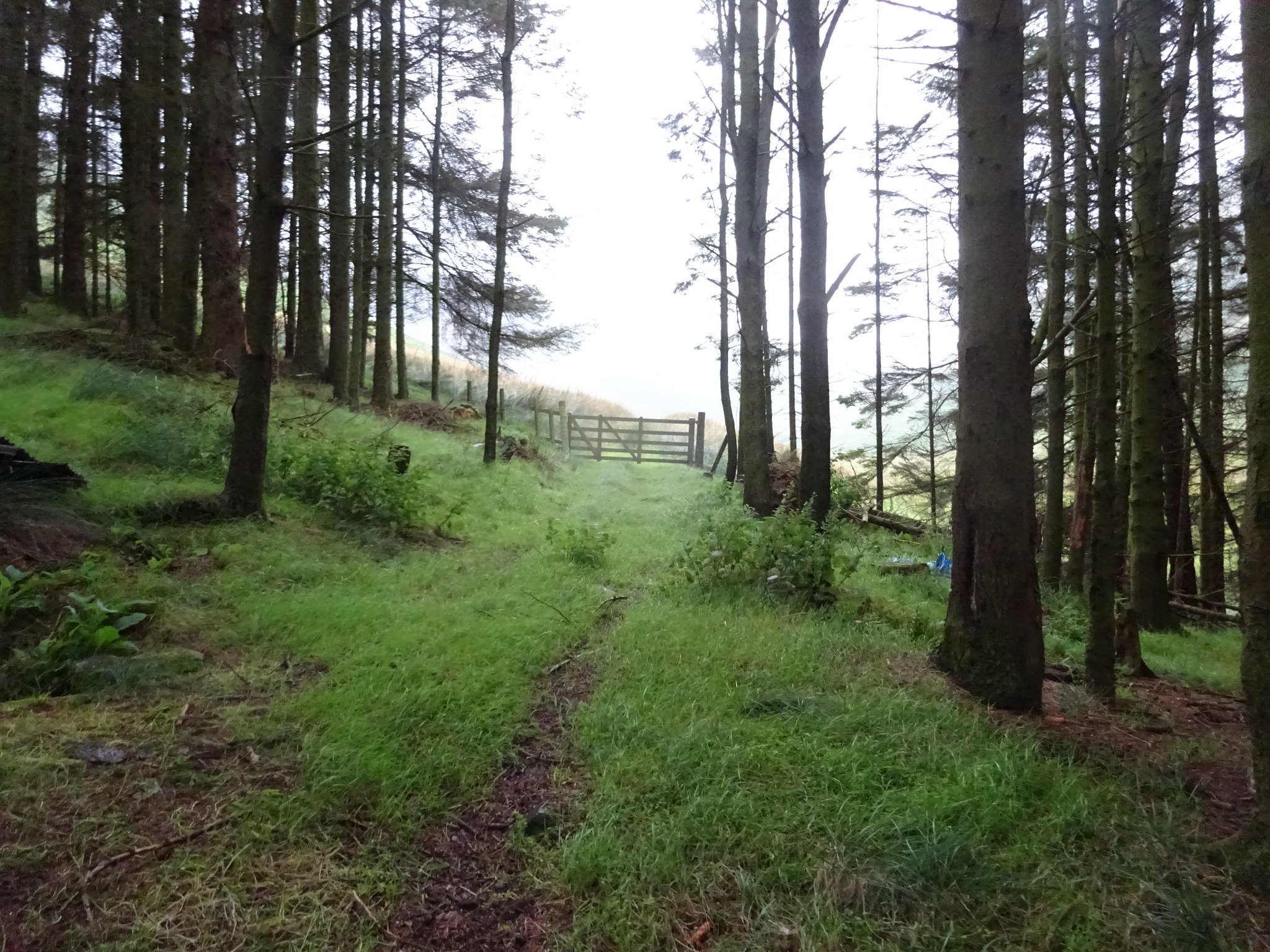
Short track through a small wooded area, through the gate and off we go
Weather wasn't too bad at the start and got steadily worse over the next couple of hours
This a track - of sorts
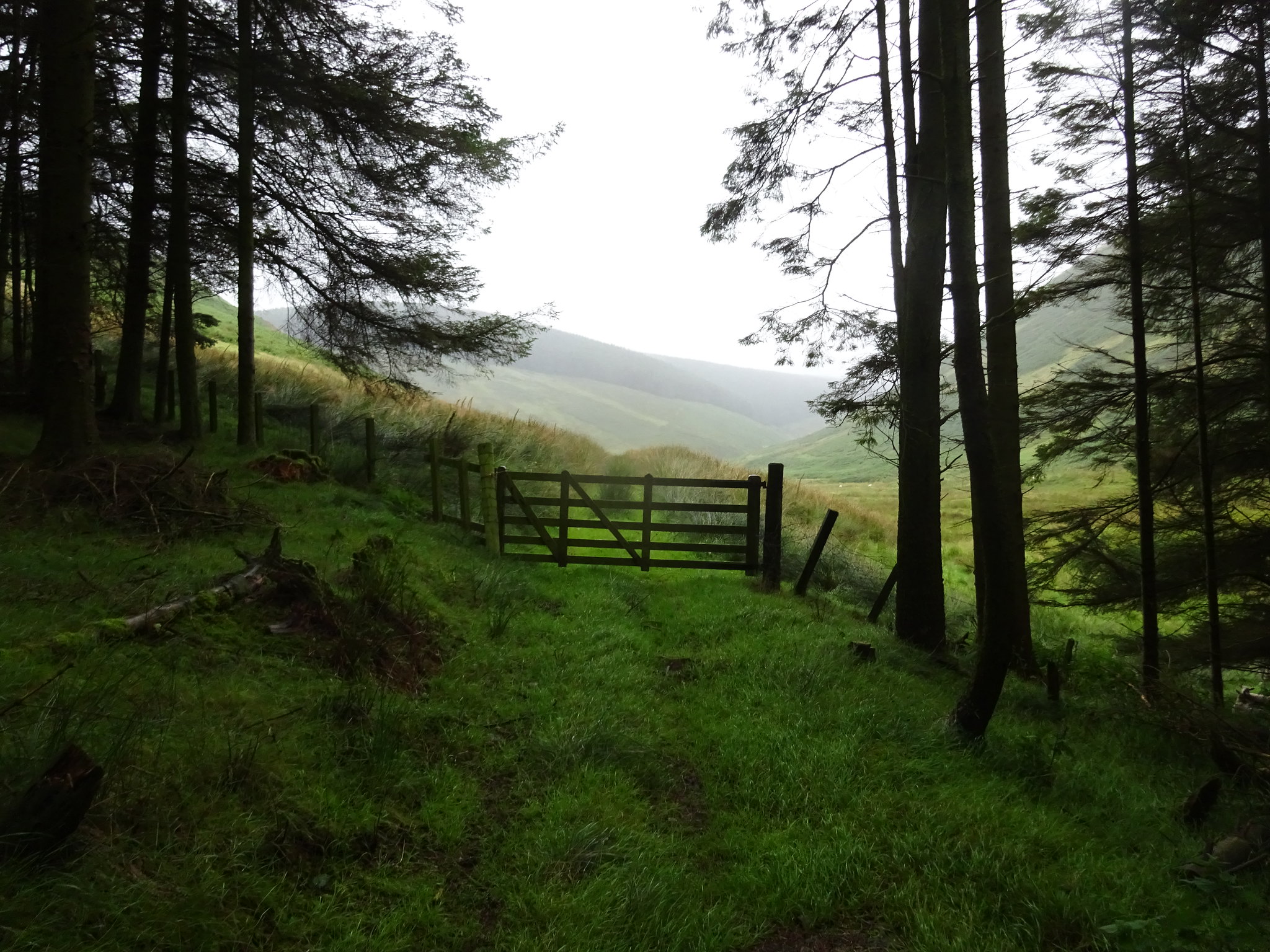
Looking back to the small wooded area
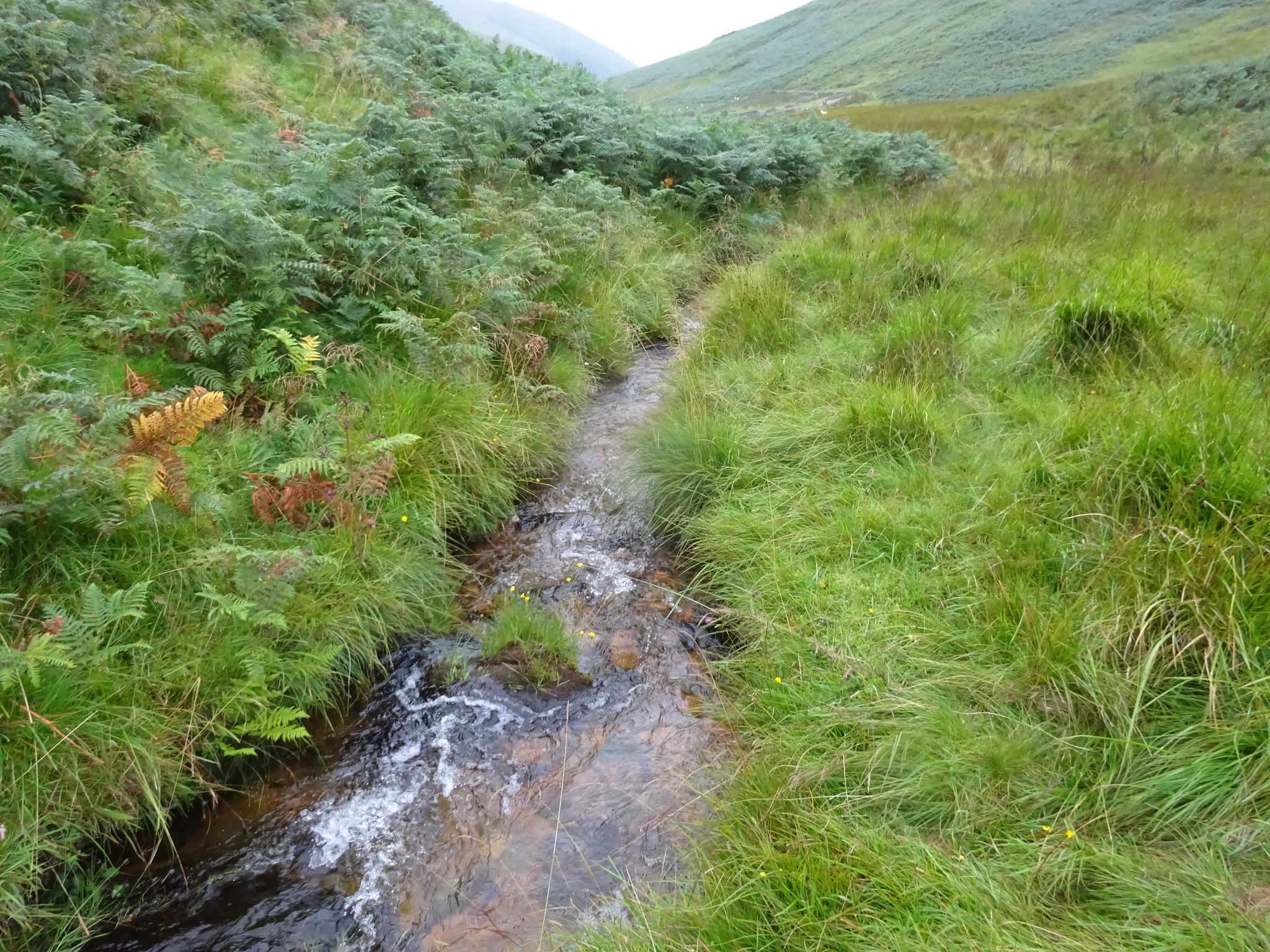
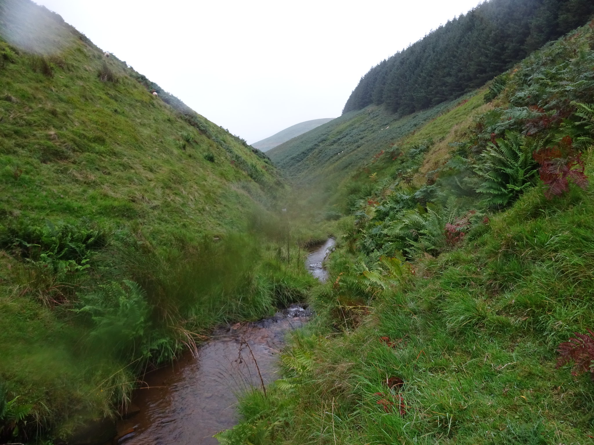
Me and this little burn (Glenrief Burn) became very close friends, on the return leg I actually counted how many times I crossed it, would you believe 32 times, this must be a world record? The route only follows the burn for just under one mile.
This gives you some idea of how deep the undergrowth is and trust me it holds plenty of moisture
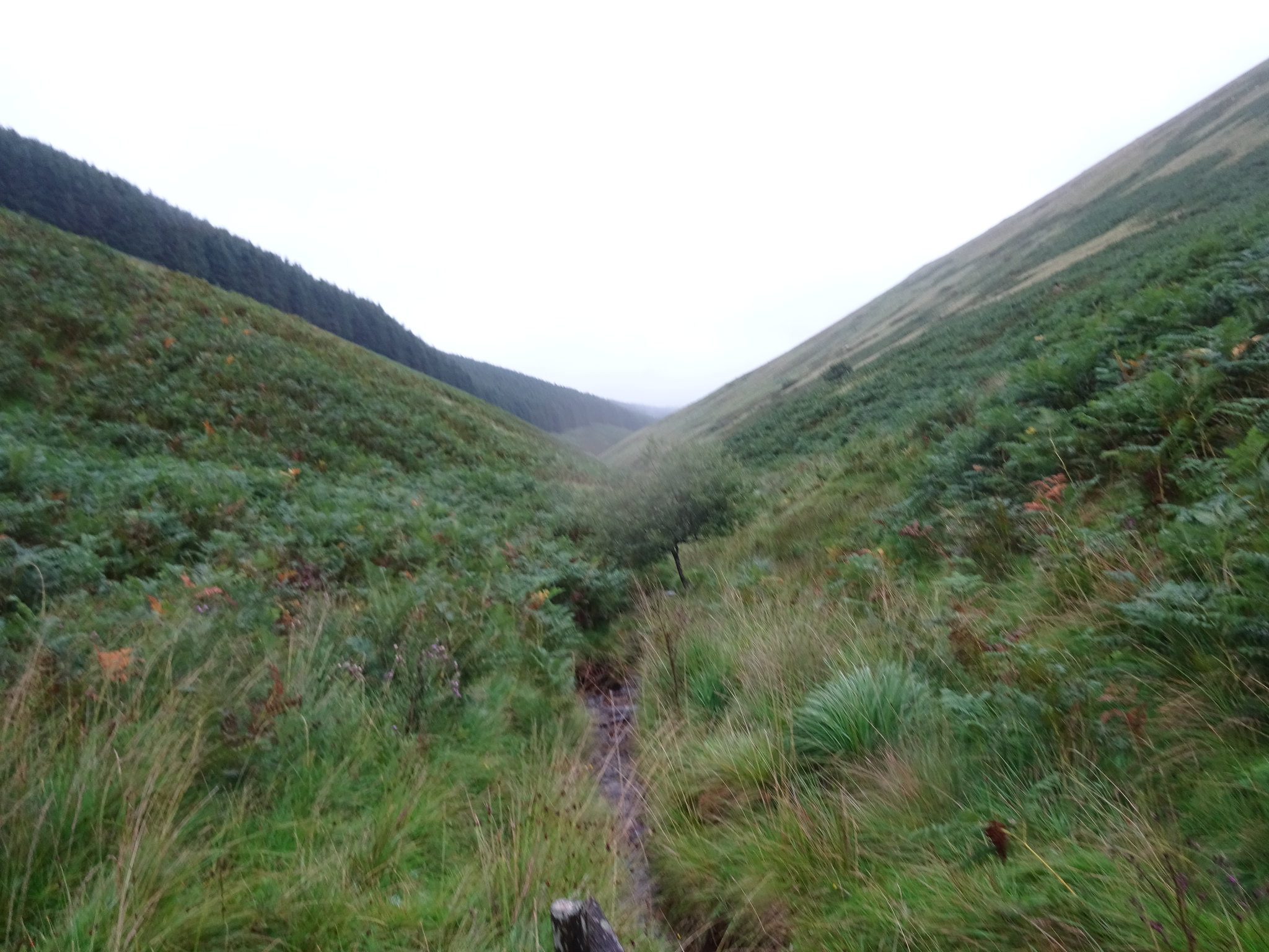
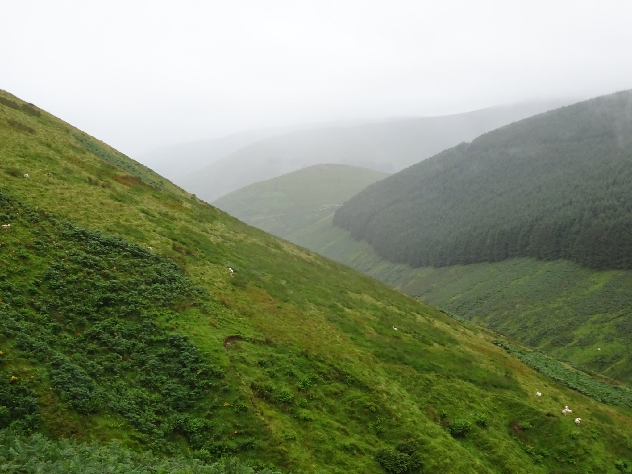
Steepish on both sides and the bracken has to be avoided
Typical shot, the burn is almost hidden
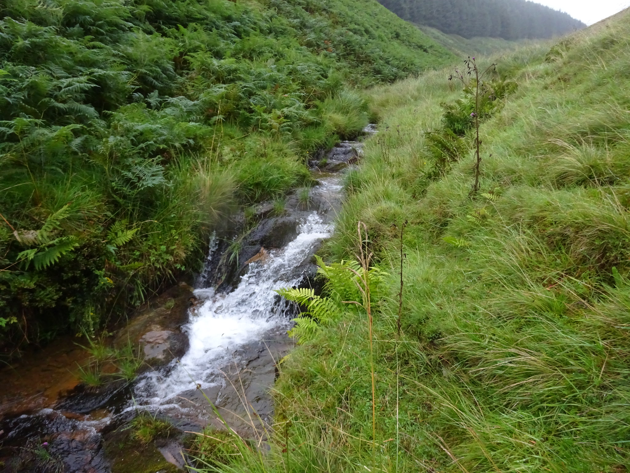
Fast flowing in bits
As my feet were still dry at this point I opted to avoid the bracken and long grass and traverse on the slopes to the right of the burn. It was a good idea but the problem was there are umpteen gullies that feeds dribbles of water into the main burn, some of them required care as the last thing I wanted to do was slip on the shorter wet grass - by the end of the walk that wouldn't have mattered either.
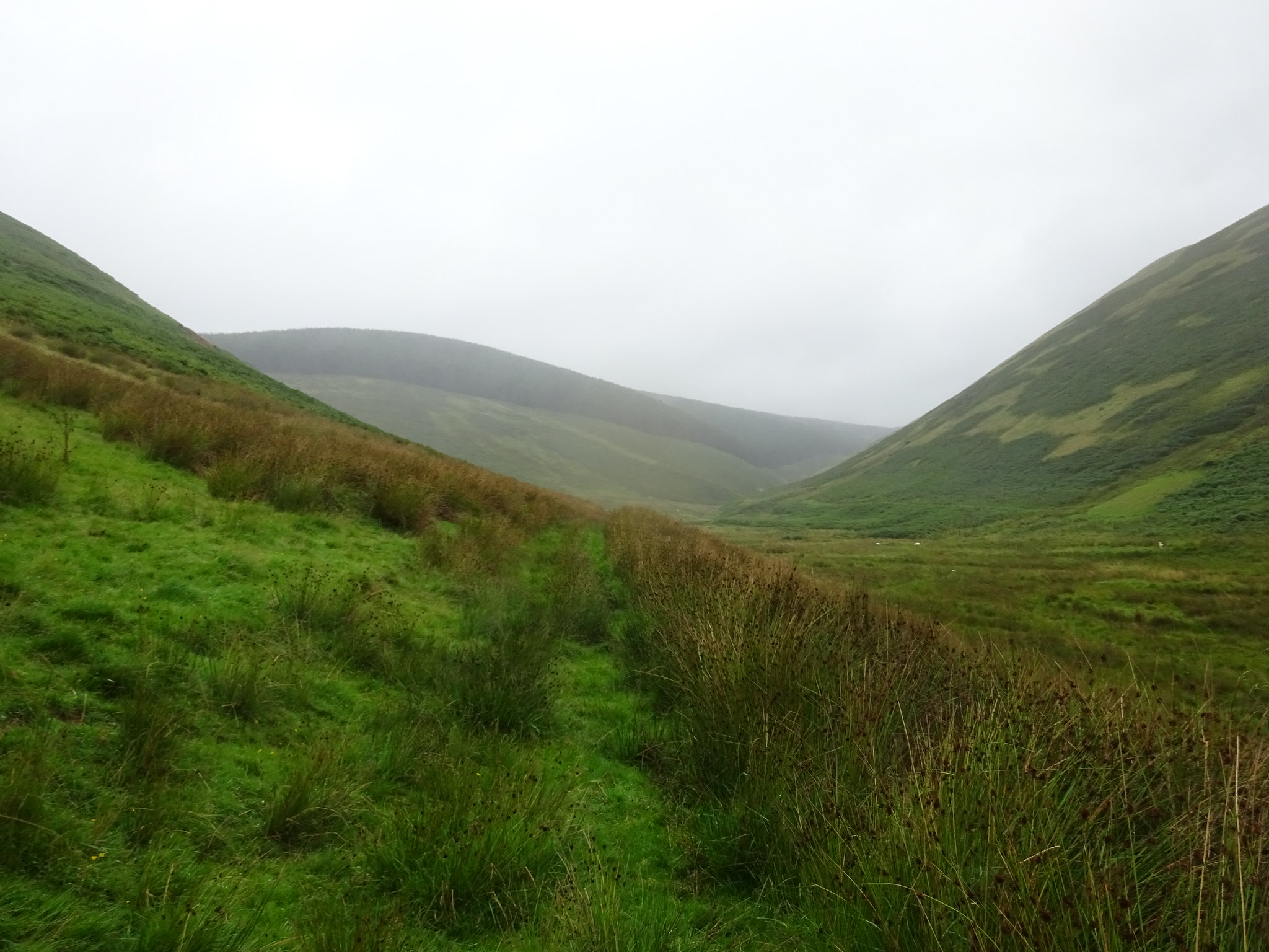
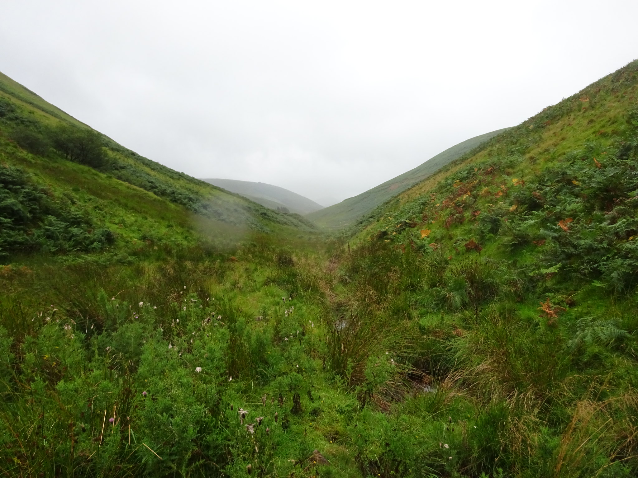
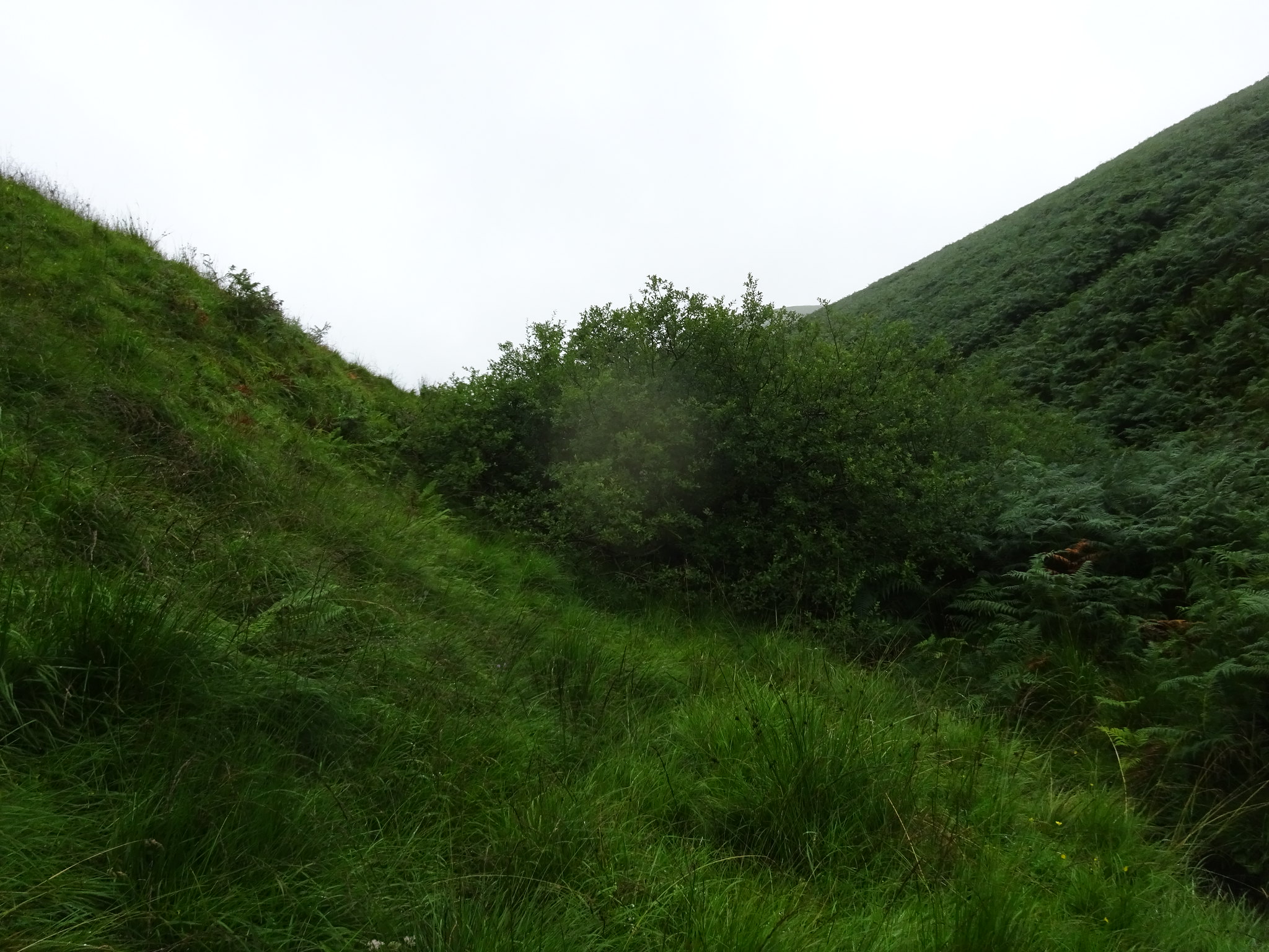
Shows how narrow the glen is, as well as the dreaded bracken
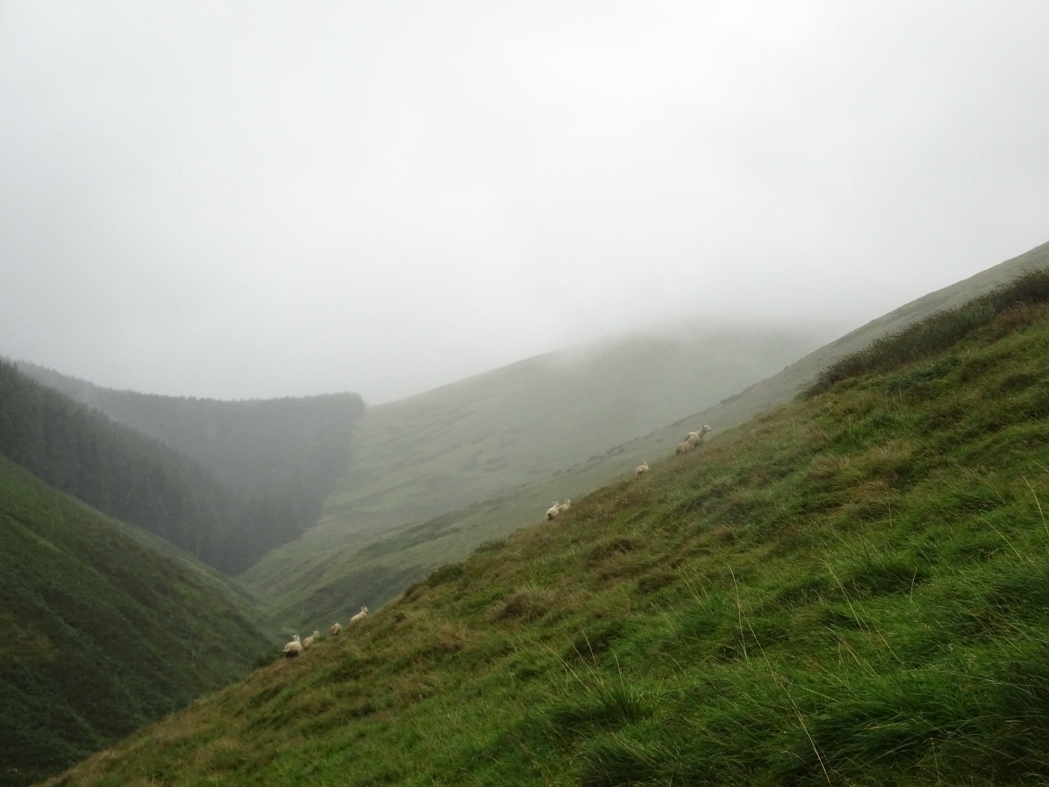
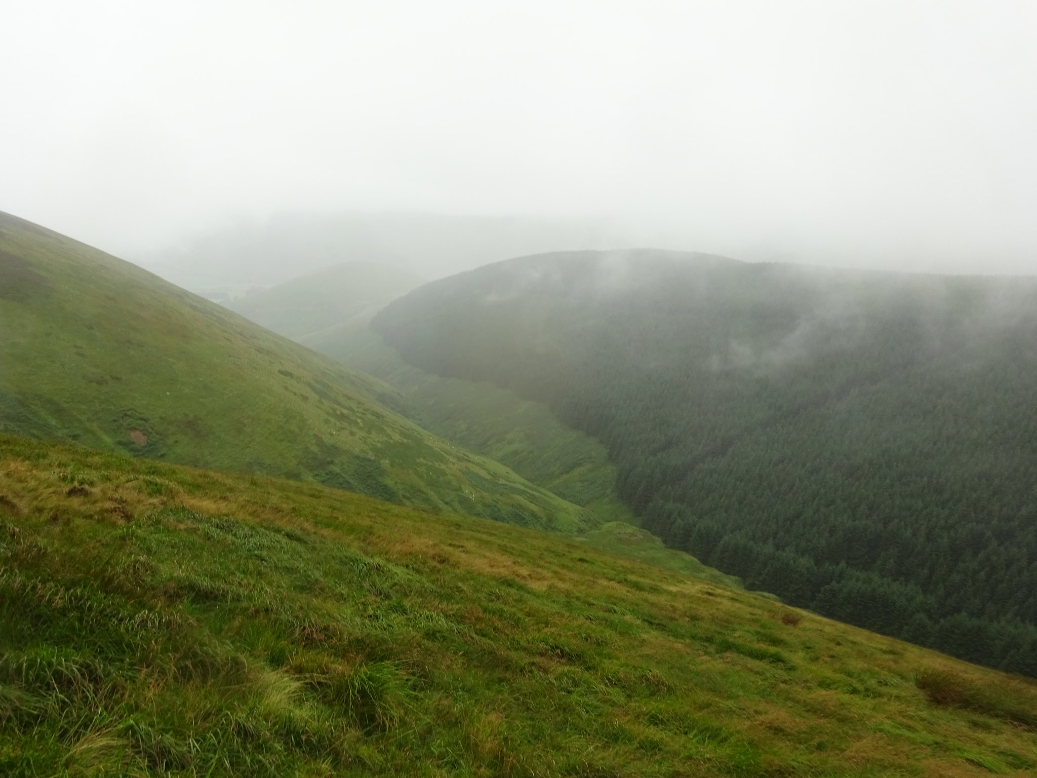
The summit is on the right in amongst the greyness, taken from slightly above the glen whilst traversing
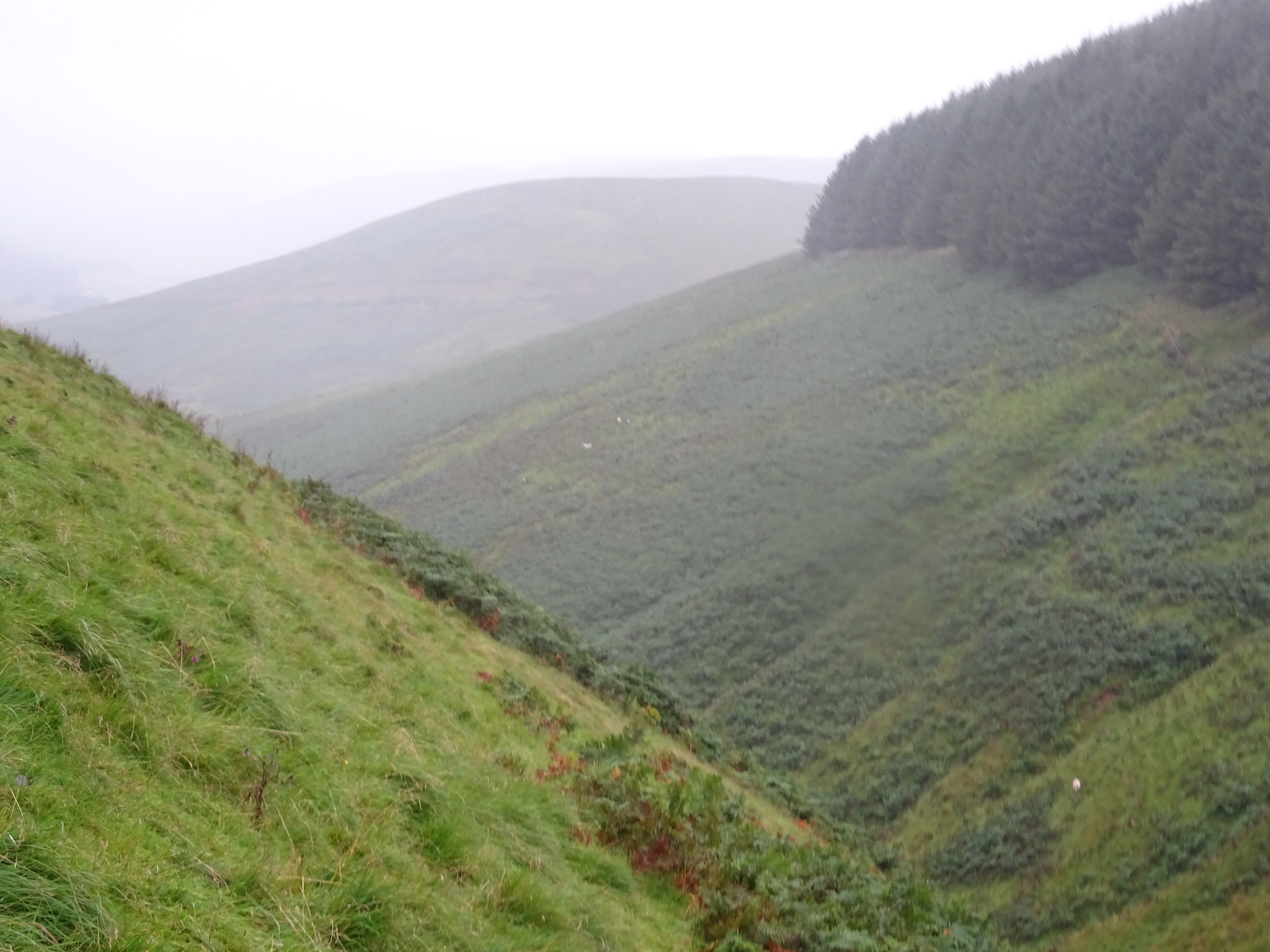
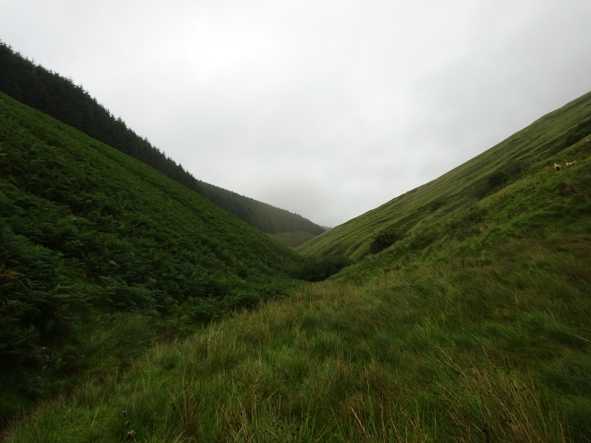
Looking down the glen
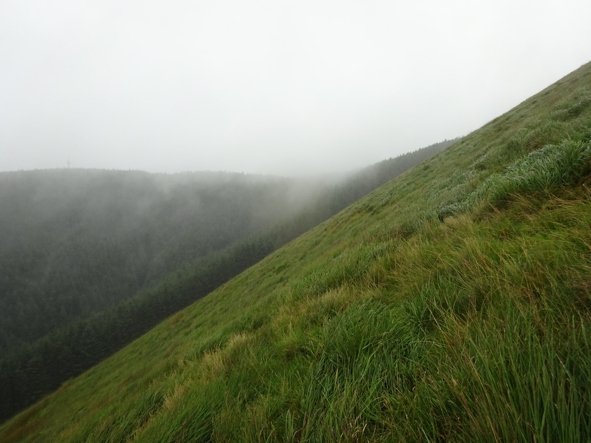
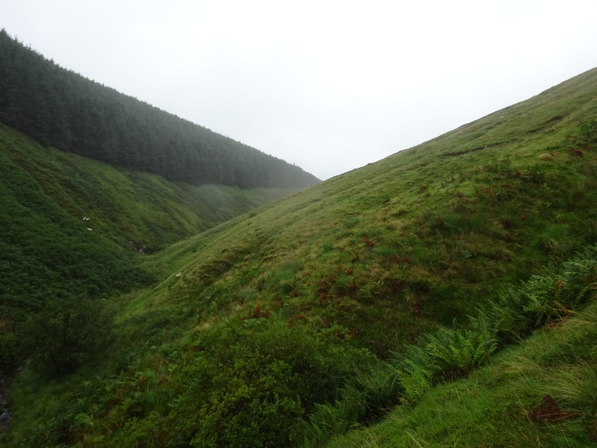
Looking NW, not sure if there is a way through the forest, the wisps of grey was actually rain being blown through
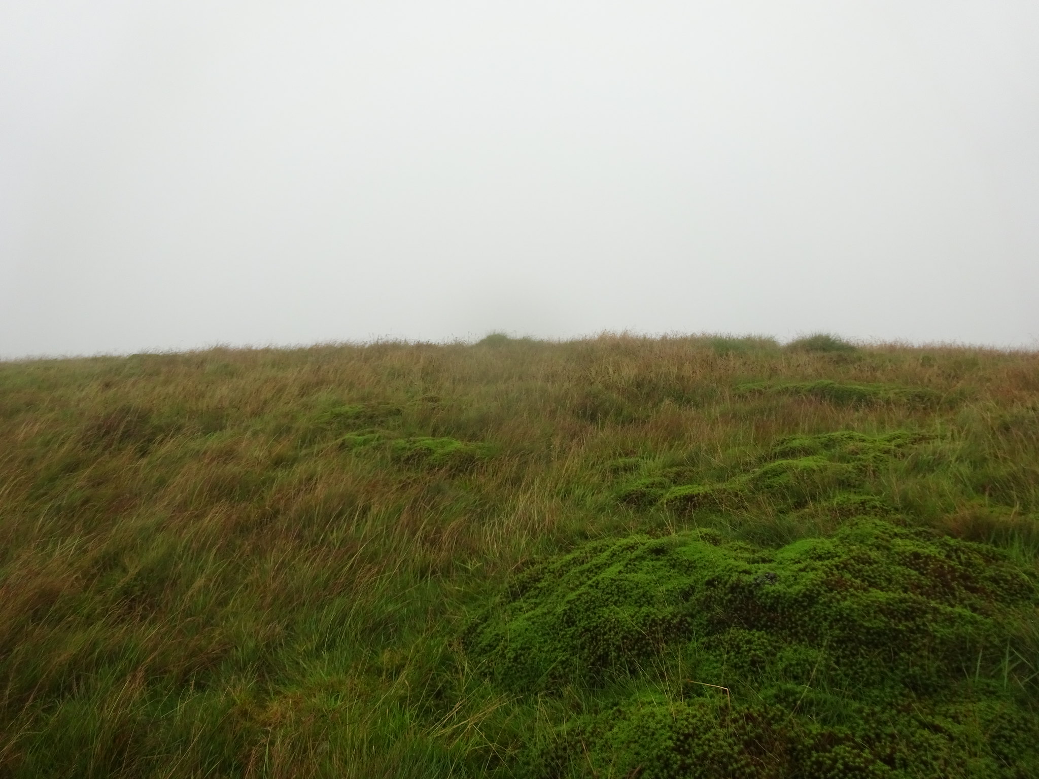
Summit area of Ellson Fell
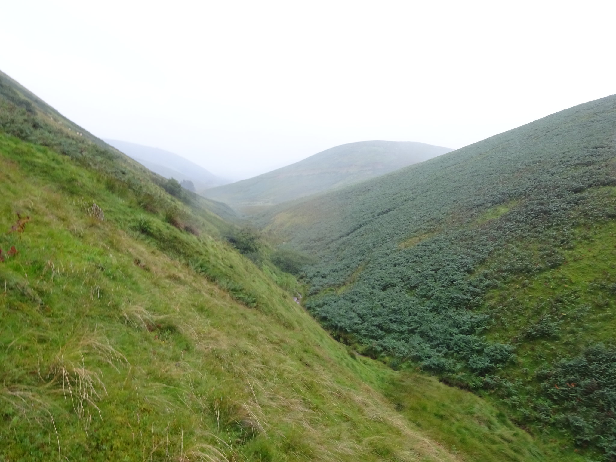
Descending now and the way back down
Avoid the bracken in the foreground
Back to my friend the burn, apologies for the spots on the lens, it's called rain
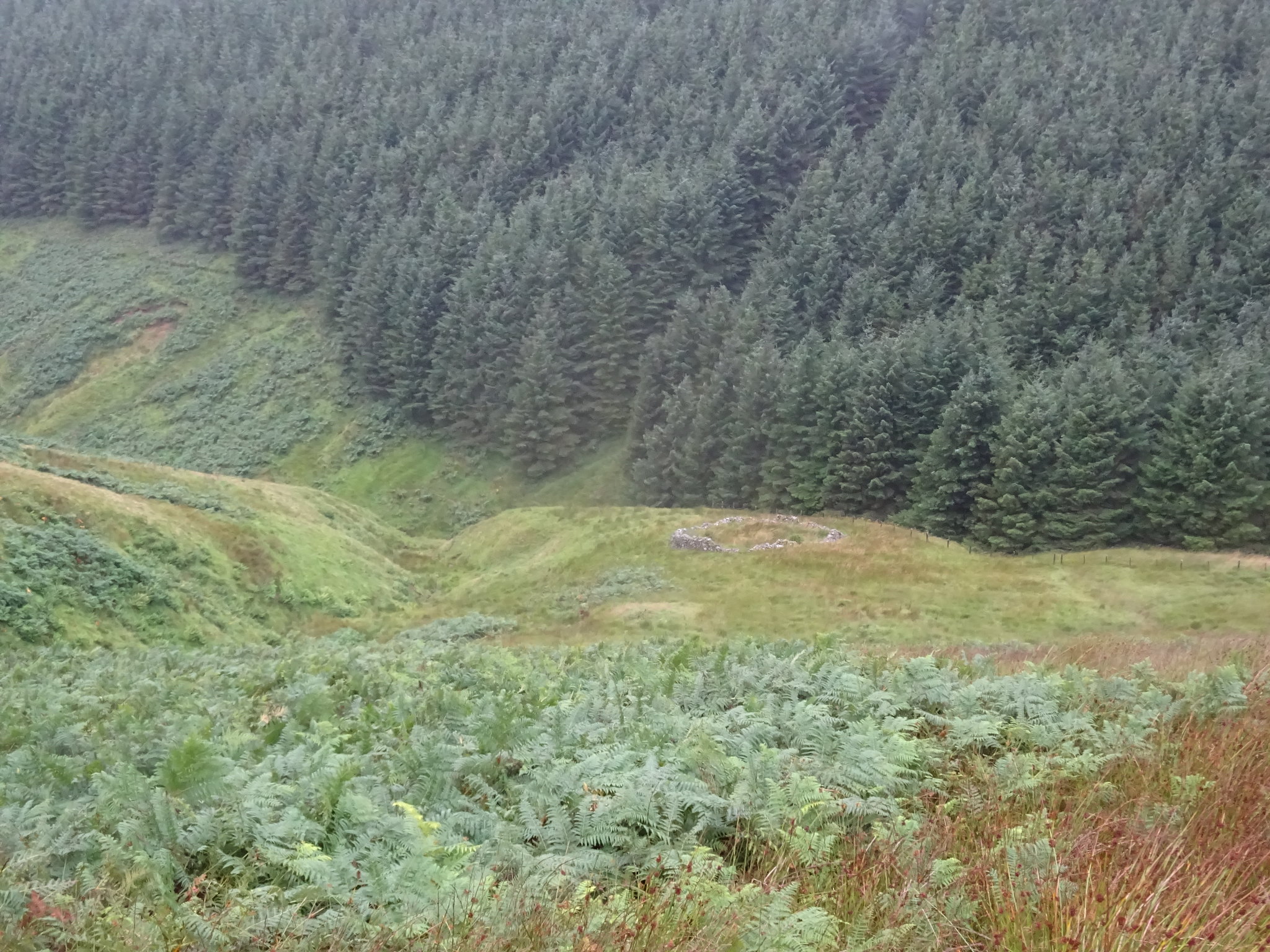
One of the occasional obstacles in the glen, I opted to go up to the left
This would be a nice little walk as I have said in half decent conditions and as it is literally about a mile off the A7, access is very easy. The other 2 will have to wait till September when I am next down south again, hopefully the weather will be kinder, one thing for sure I will have ALL my wet weather gear in the car no matter what the forecast is.
