free to be able to rate and comment on reports (as well as access 1:25000 mapping).
Afterb a thoroughly successful and enjoyable hike to Mullach Beag and Mullach mor on Holy Isle a few days before, the weather wasn't looking the best for the Sunday with the bigger hills still completely covered.
Luckily the smaller hills including Tighvein were clear so it was another short drive from Brodick to Lamlash to climb the last Arran Marilyn I had left to do. We parked at Dyemill picnic area, just like we had back in November 2006 when we last attempted the hill which, due to a misty & muddy route that day, we had turned back on.
The last time we did the route clockwise through the woods at the start so I decided to go anti-clockwise this time., crossing the smaller bridge further west instead of taking the forestry track along:
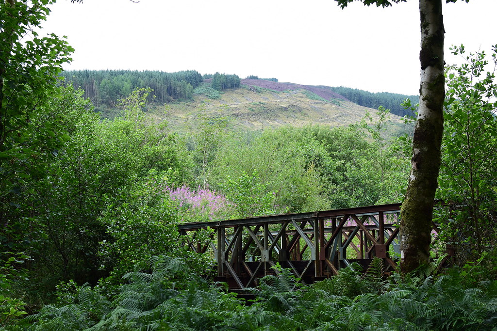 DSC_4410
 by
Chris Mac, on Flickr
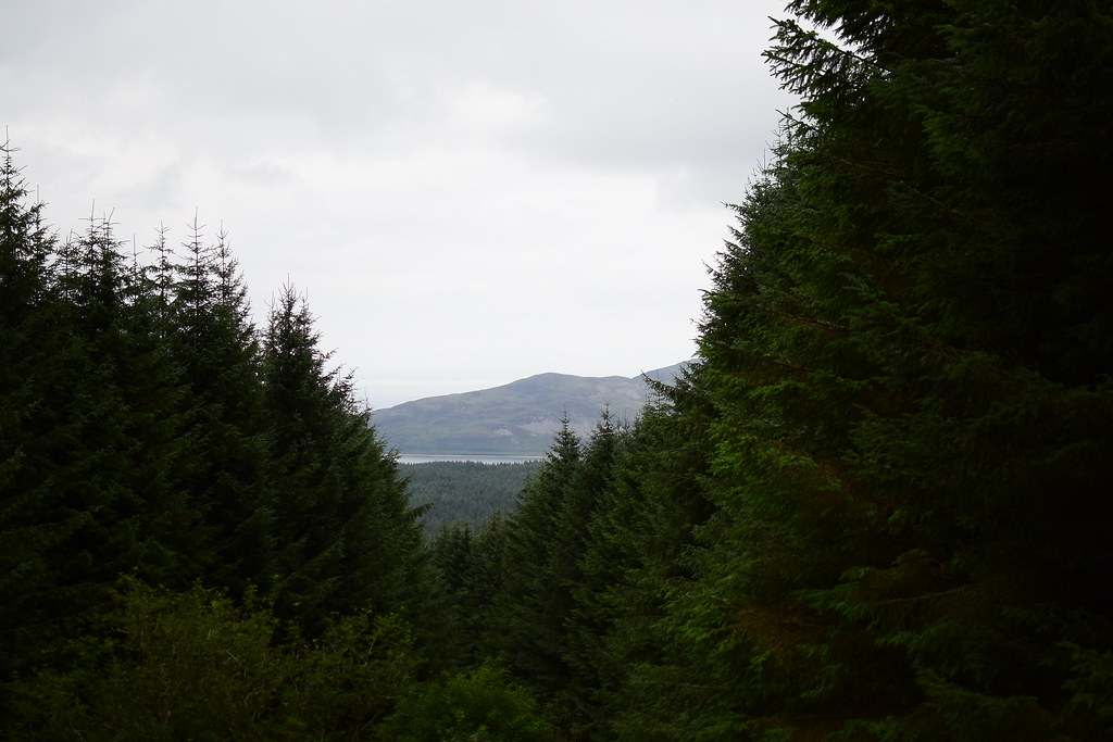
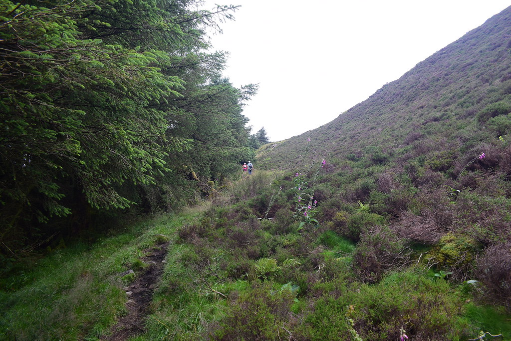
It's a decent path taking you uphill and the Ross is soon in view during the ascent:
 DSC_4420
 by
Chris Mac, on Flickr
On the way we tried some of the tasty brambles/blackberries:
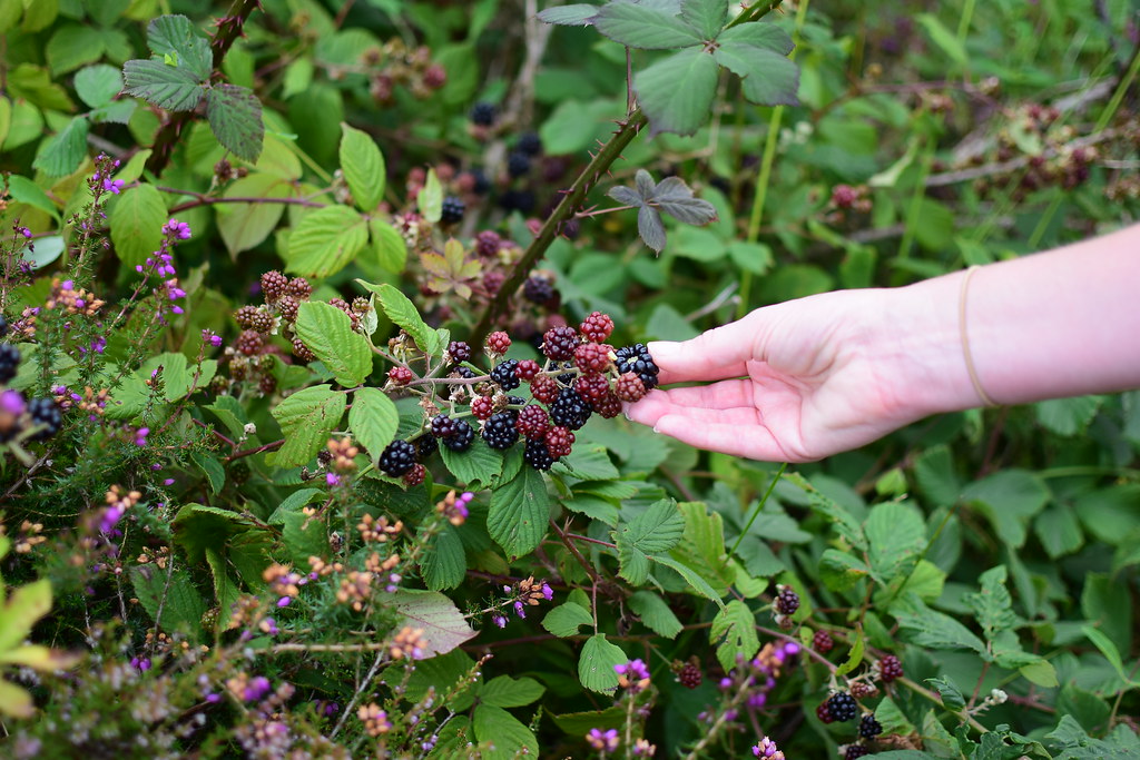 DSC_4421
 by
Chris Mac, on Flickr
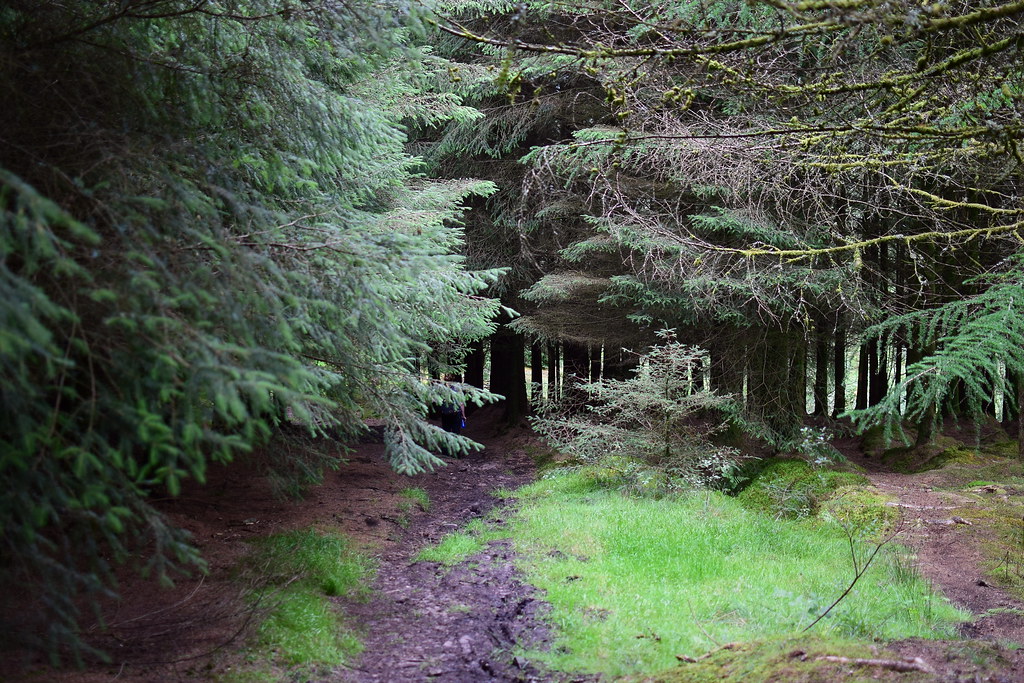
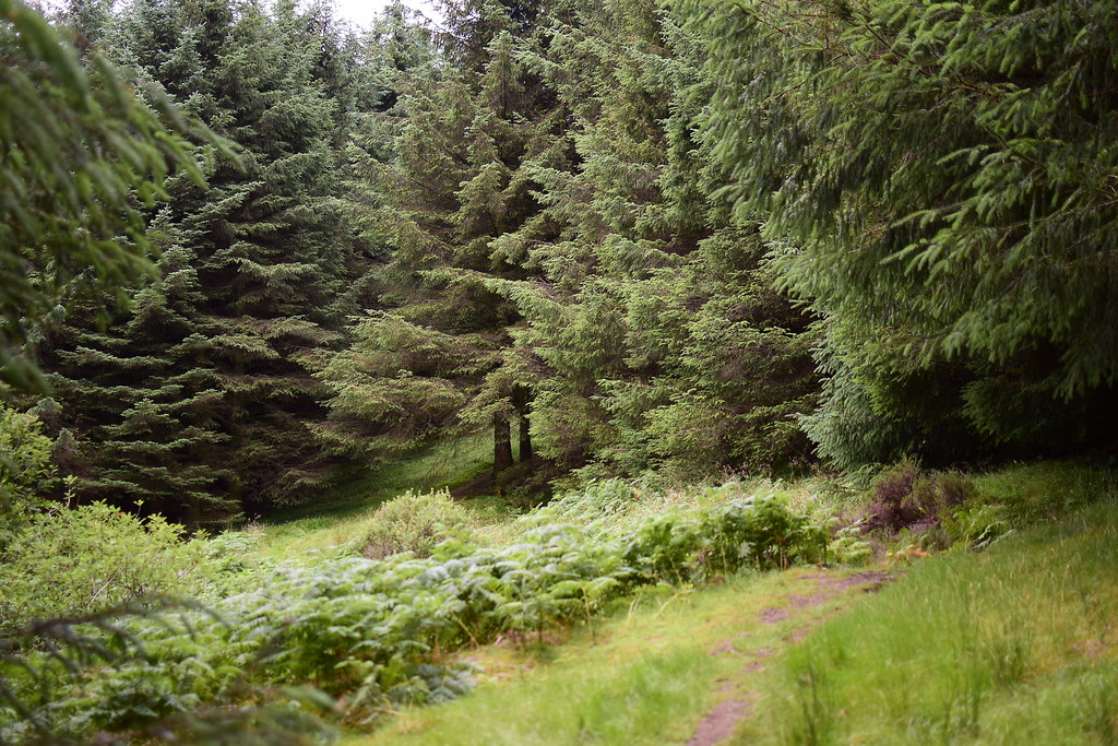
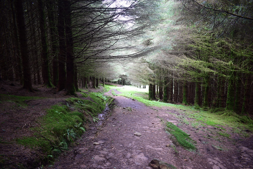
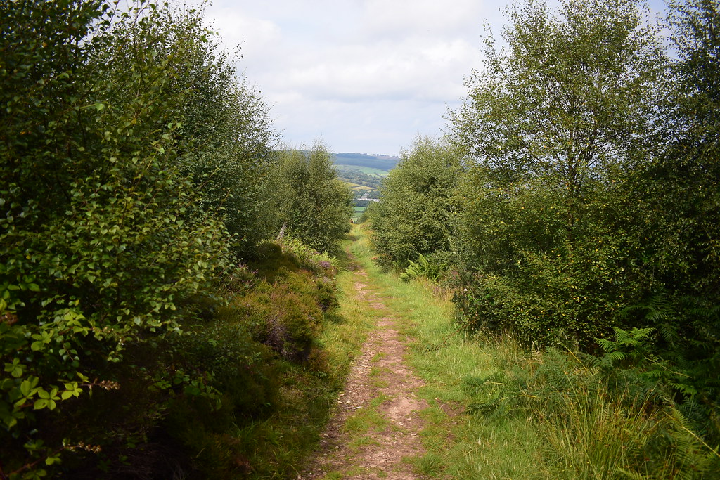
The path quickly takes us to into the forest...
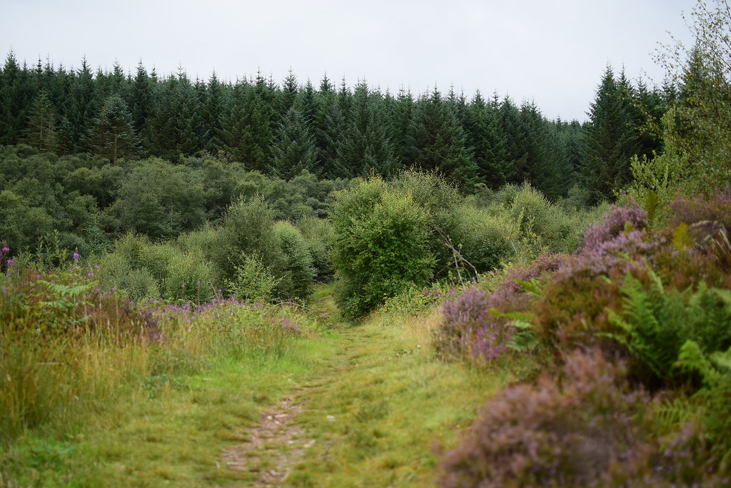 DSC_4424
 by
Chris Mac, on Flickr
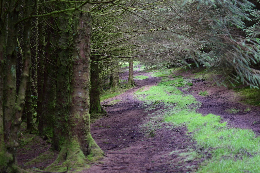
the last time we attempted the hill this was a quagmire, much better today even with some recent rain:
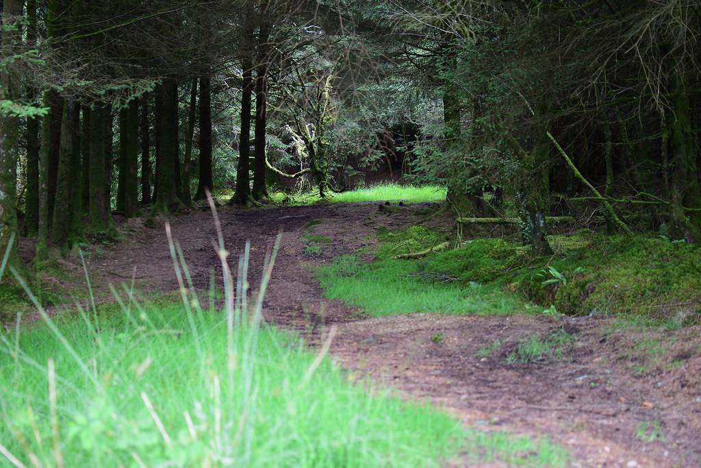 DSC_4425
 by
Chris Mac, on Flickr
 DSC_4429
 by
Chris Mac, on Flickr
Long straight section:
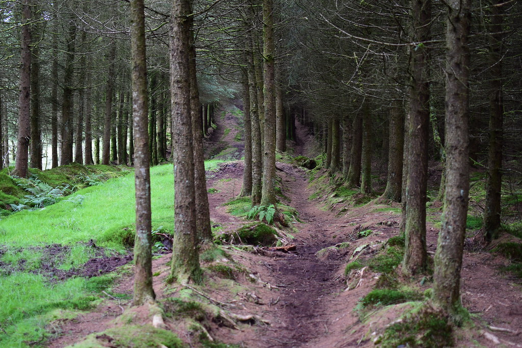 DSC_4431
 by
Chris Mac, on Flickr
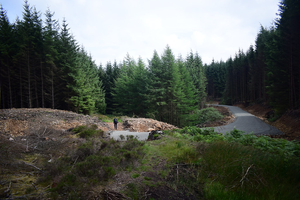
We were in for a surprise, at roughly the 220m mark on the path a new forestry track had torn down a swatch of trees, leaving a highway of sorts for us to cross, looking like an extension of the main forestry trail from Lamlash to Whiting Bay:
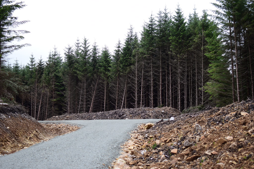 DSC_4434
 by
Chris Mac, on Flickr
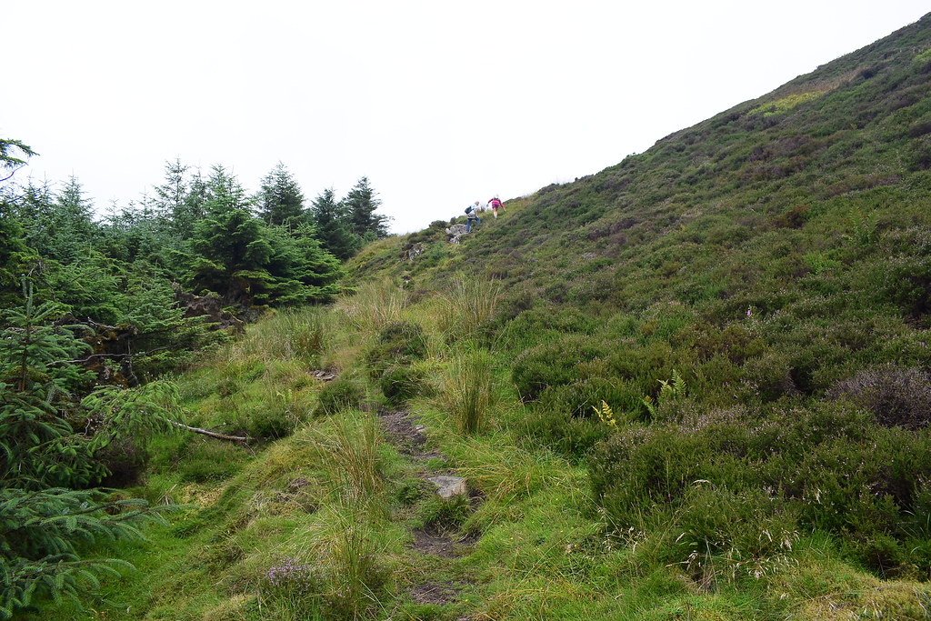
Once through there the path turns right after a while leading to a straight section up through the trees seen here:
 DSC_4437
 by
Chris Mac, on Flickr
This section seemed familiar, it was at the end of this that Y wanted to turn back a few years ago!
At the end of the straight
 DSC_4438
 by
Chris Mac, on Flickr
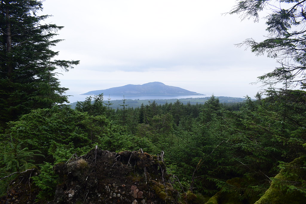
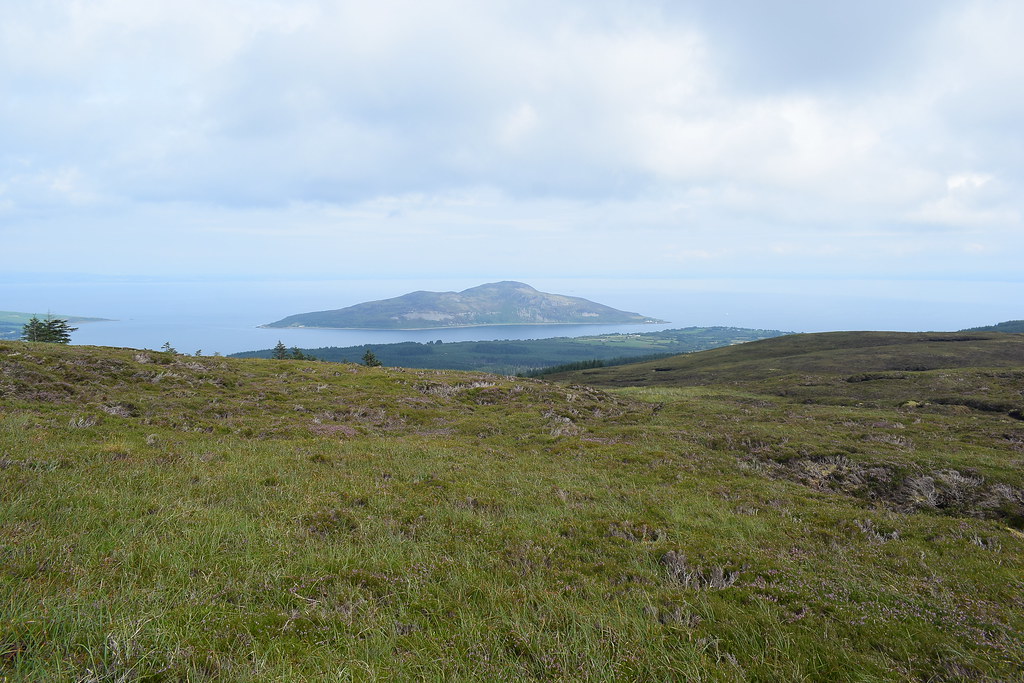
We get our first glimpse of Holy Isle through the trees:
 DSC_4439
 by
Chris Mac, on Flickr
Getting there, the path heads up the hillside and gets a bit steeper now:
 DSC_4441
 by
Chris Mac, on Flickr
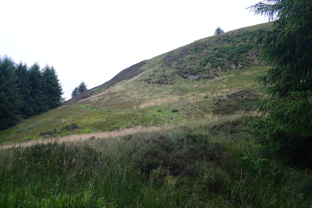
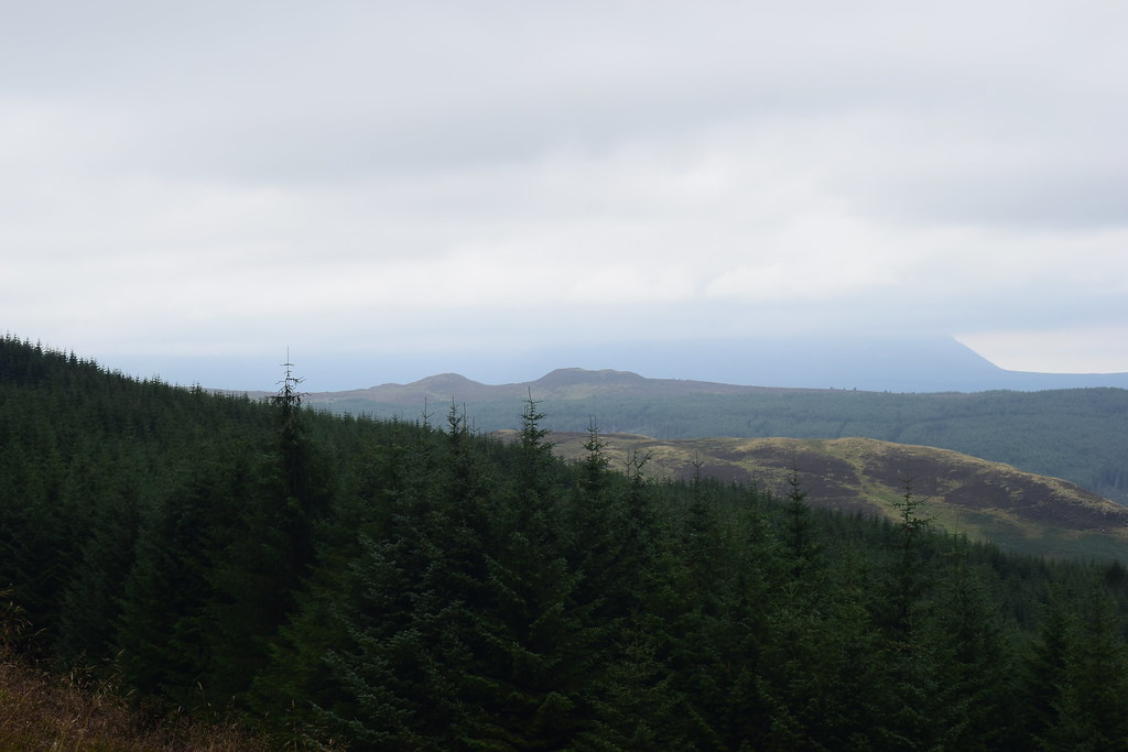
Behind us to the north, Brodick's fairy hills the Sheeans (Sithein on the map) are looking good but Goatfell is still hiding in the distance:
 DSC_4450
 by
Chris Mac, on Flickr
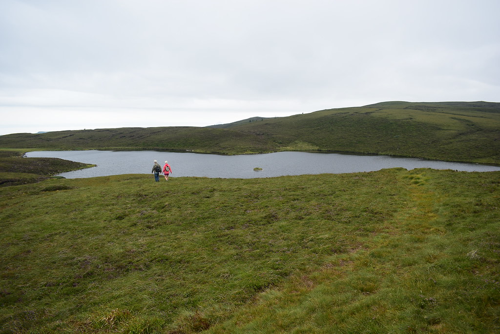
Heading up the side of the Urie now, the hill giving the name to the Urie Loch which we are approaching on the way to Tighvein. We let this couple pass and said hello as they did:
 DSC_4453
 by
Chris Mac, on Flickr
Almost at the Urie...
 DSC_4454
 by
Chris Mac, on Flickr
Mullach Beag and Mullach Mor:
 DSC_4455
 by
Chris Mac, on Flickr
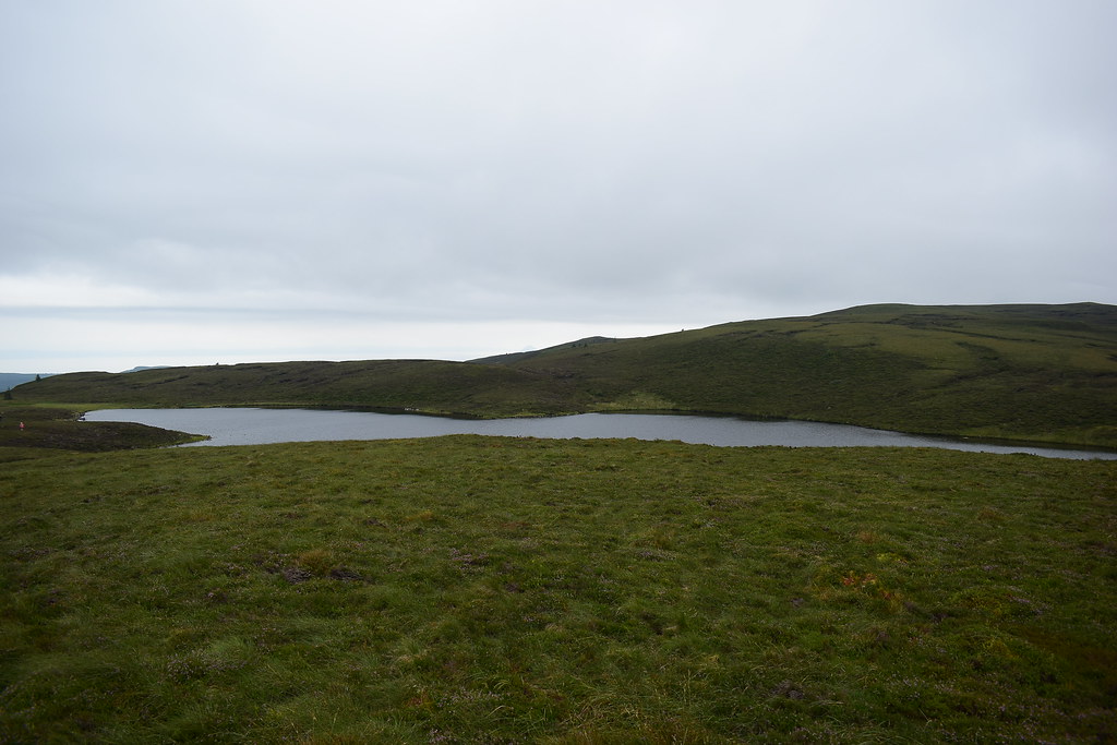
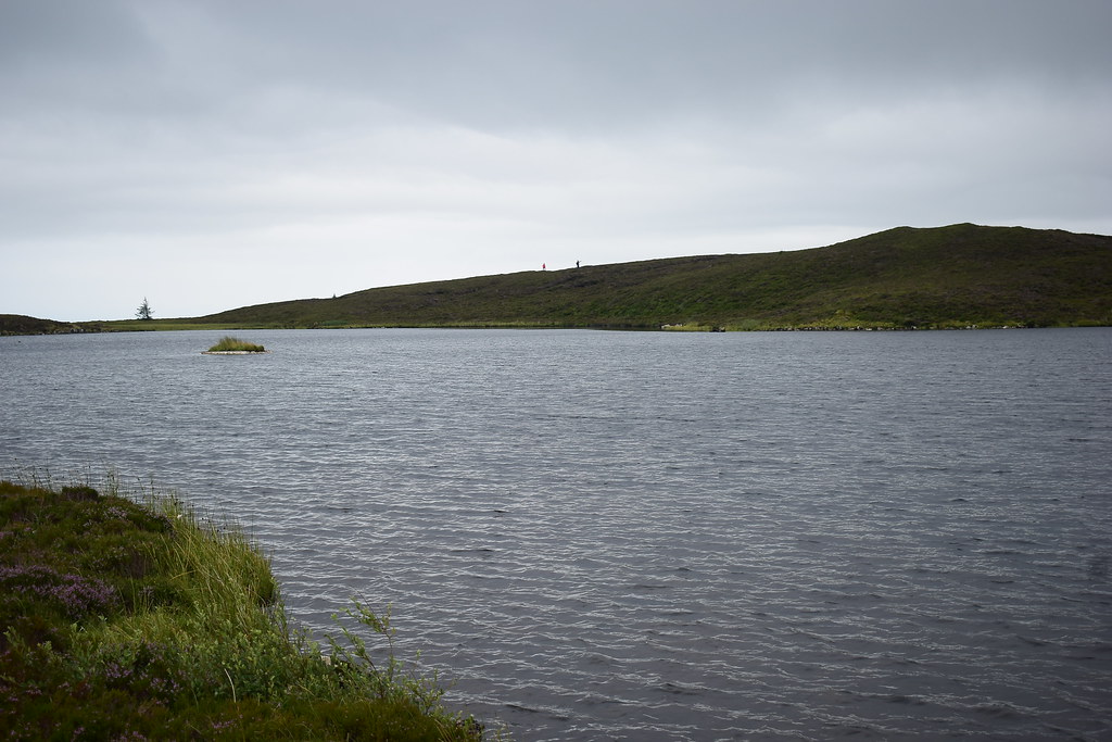
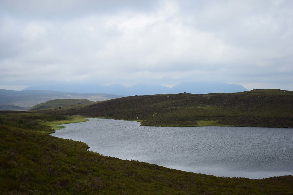
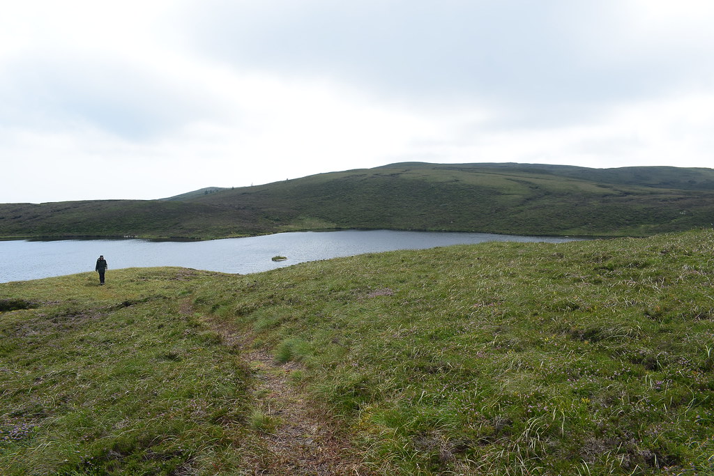
We reach the large rock/summit of the Urie and the Urie Loch is now visible:
 DSC_4467
 by
Chris Mac, on Flickr
 DSC_4470
 by
Chris Mac, on Flickr
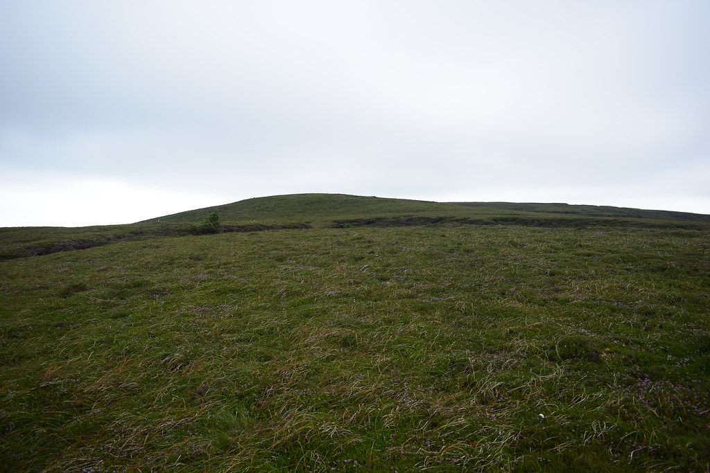
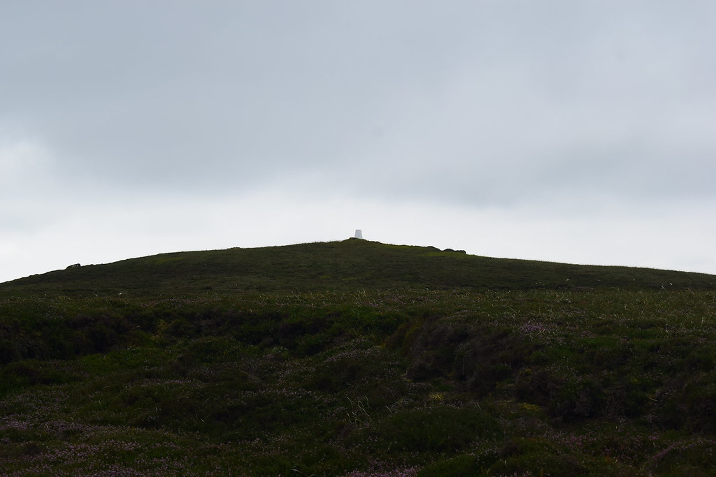
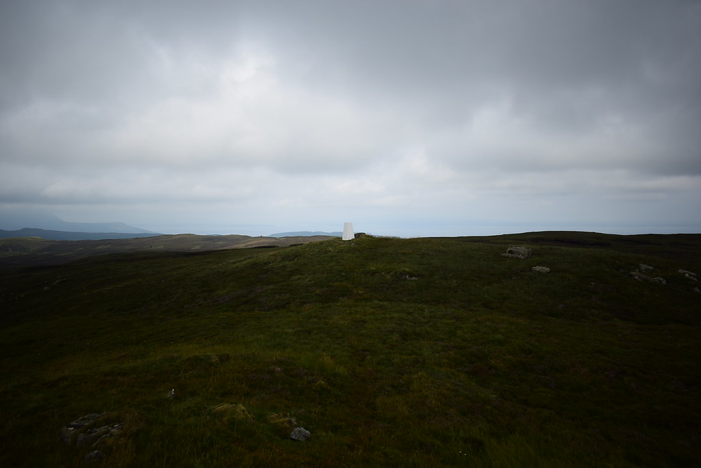
Behind the loch is the summit of Tighvein, shown in the middle here with a trig point for those with eagle eyes:
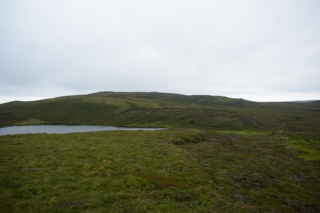 DSC_4471
 by
Chris Mac, on Flickr
The couple in front of us headed south around the loch, we would head north around this side of it towards Tighvein's summit:
 DSC_4472
 by
Chris Mac, on Flickr
It would be one of the first walks where Y would have to deal with peat hags... this should be interesting!

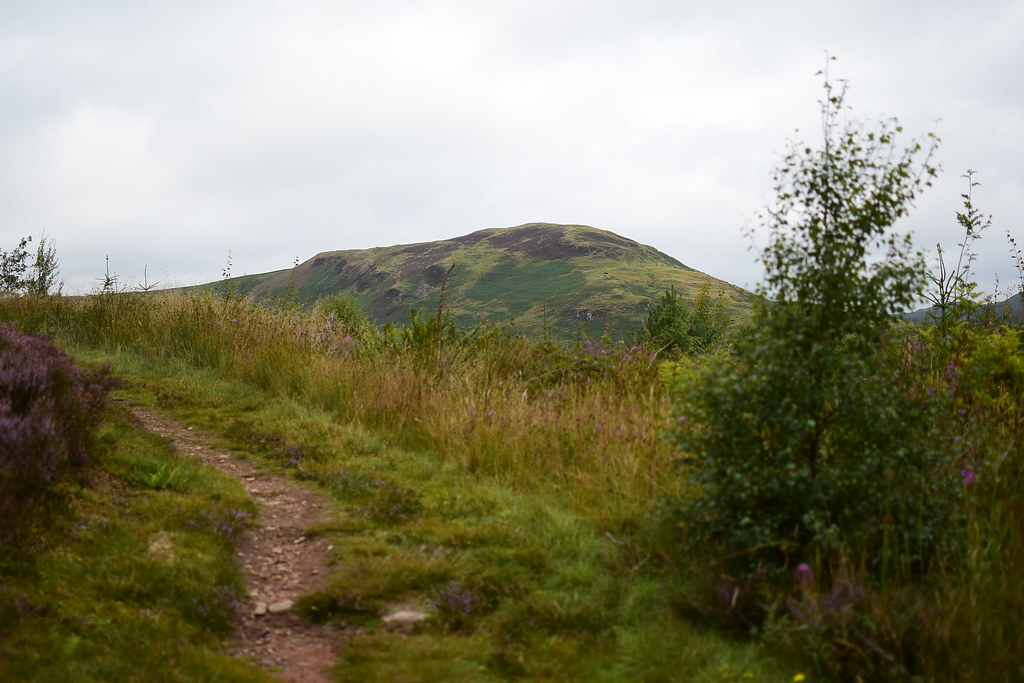
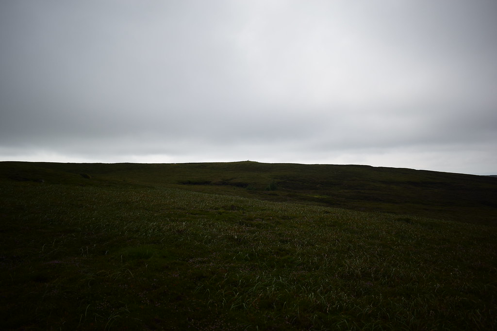
It's a good thing we're on the smaller hills today, A'Chruach and Goatfell to the north were still covered:
 DSC_4477
 by
Chris Mac, on Flickr
 DSC_4480
 by
Chris Mac, on Flickr
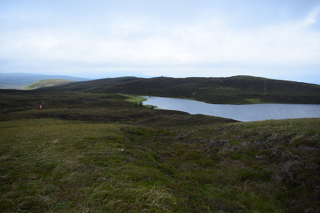
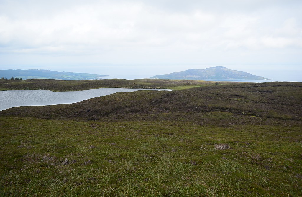
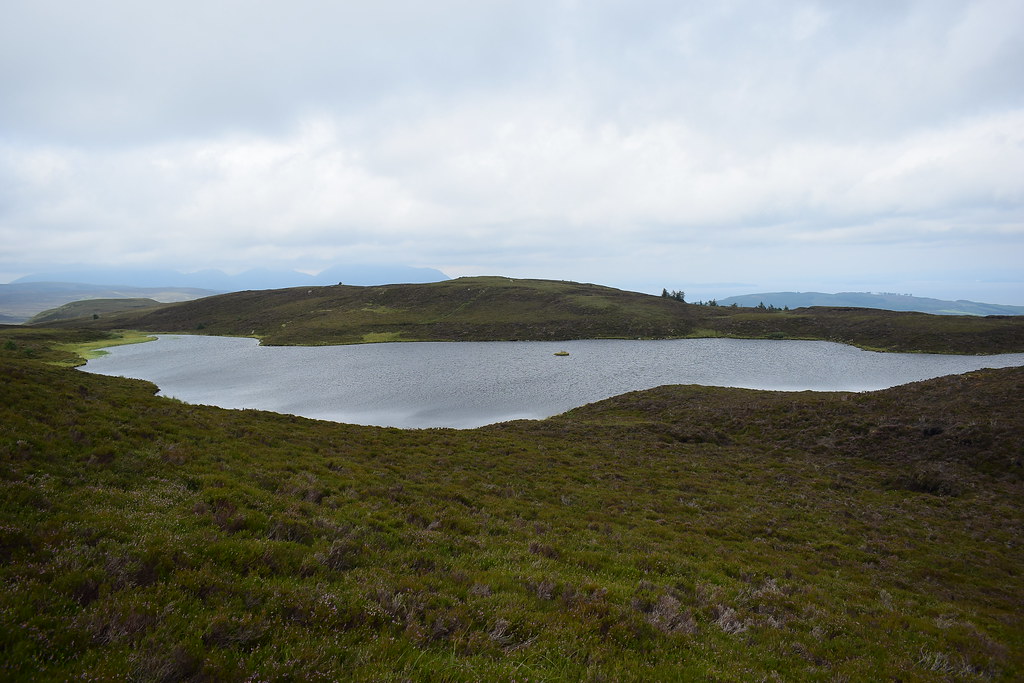
Urie Loch panorama:
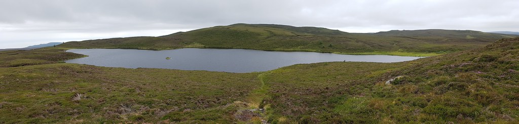 DSC_4485 20180805_132146
 by
Chris Mac, on Flickr
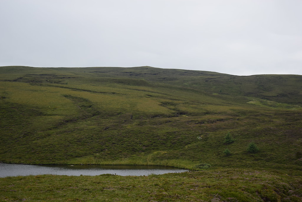
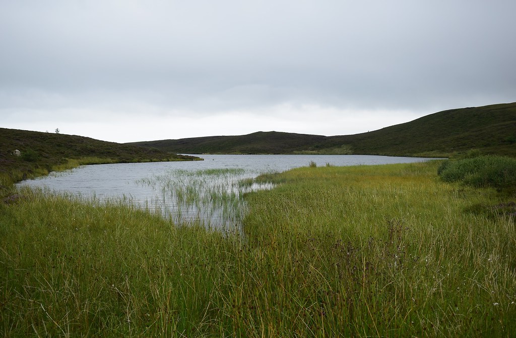
We walked down to the shore and followed a path along the bank to the north:
 DSC_4486
 by
Chris Mac, on Flickr
The other couple at the other side:
 DSC_4490
 by
Chris Mac, on Flickr
The path ended at this point and I was hearing grumbles about no path

...
 DSC_4494
 by
Chris Mac, on Flickr
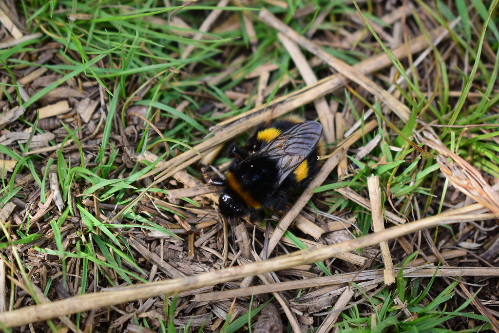
Quick, need a distraction... look a big hairy caterpillar!
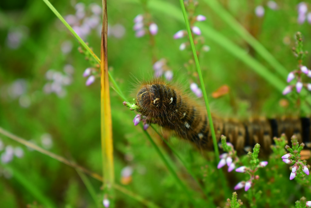 DSC_4504
 by
Chris Mac, on Flickr
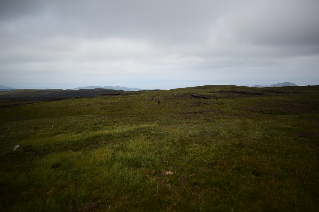
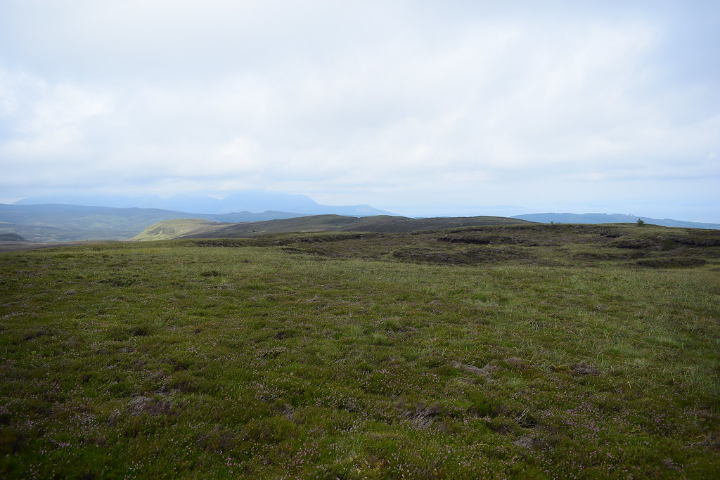
We were now onto the sponge bog of Arran's southern hills, typified by A'Chruach, not quite as bad further south on Tighvein but it still involved some routefinding in order to keep out of the boggier sections.
We passed the couple who went in front of us earlier, they mentioned walking to a stick summit, so I said that wasn't Tighvein's summit as it has a trig point but I don't think they were bothered about bagging the hill. Probably a good thing as if you are reading this you'll need to go back and summit properly!
 DSC_4507
 by
Chris Mac, on Flickr
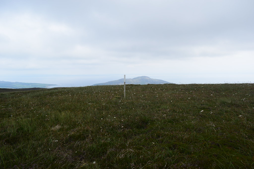
We headed towards the pole too but only because the walker was a tad easier slightly higher up:
 DSC_4511
 by
Chris Mac, on Flickr
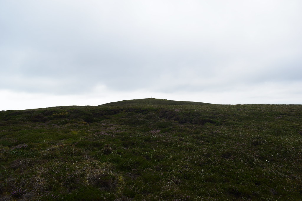
Tighvein summit to our right, still a good 10 minute walk away:
 DSC_4521
 by
Chris Mac, on Flickr
Not Tighvein summit!
 DSC_4544
 by
Chris Mac, on Flickr
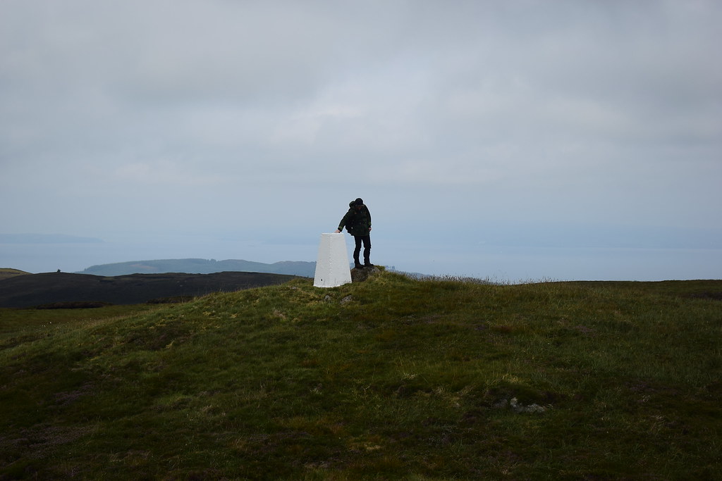
We turned right and headed directly for Tighvein's trig pillar:
 DSC_4545
 by
Chris Mac, on Flickr
Almost there, no fanfare, just that last red balloon turning blue for me:
 DSC_4546
 by
Chris Mac, on Flickr
I'll only be satisfied once I have visited every Hump and Tump on the island so my main task on Arran is still nowhere near complete.
Summit mound with trig point, cairn back left is slightly lower:
 DSC_4549
 by
Chris Mac, on Flickr
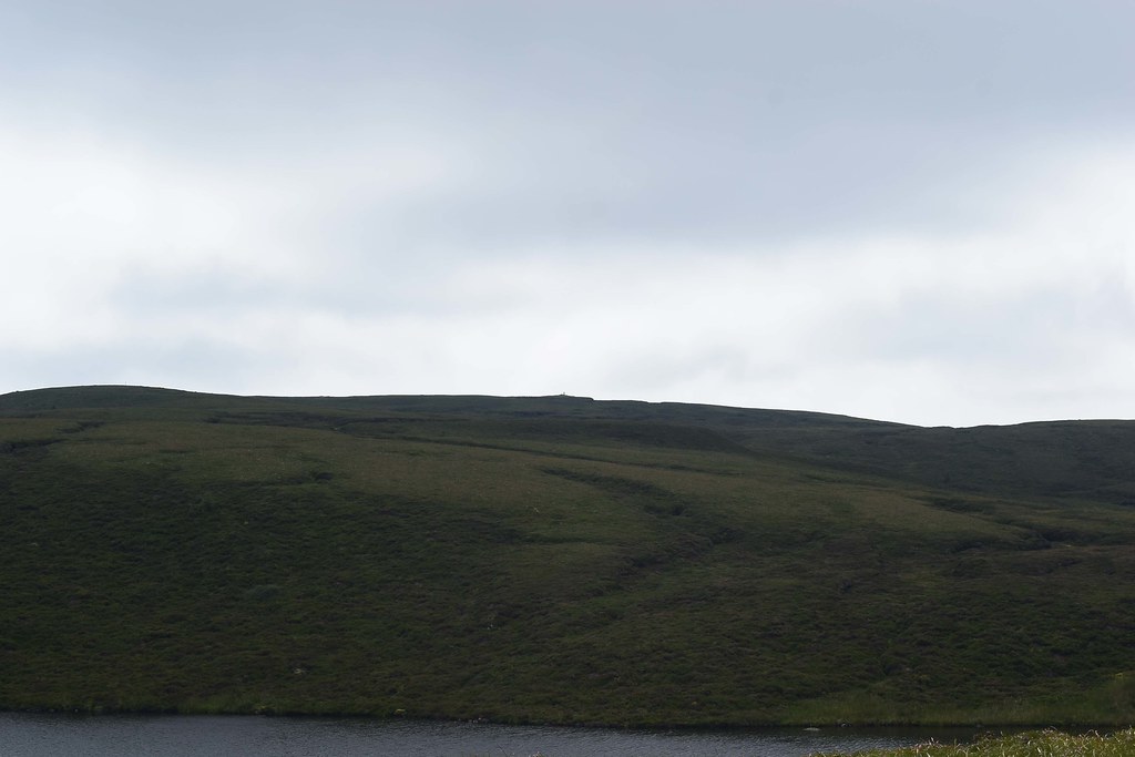
Bein a big, round, heathery and peat hag hill, the view isn't too great from the top with the hillside blocking most of it such as the view east to Holy Isle:
 DSC_4551
 by
Chris Mac, on Flickr
Looking south towards Cnoc na Garbad and the other Soothend Tumps:
 DSC_4556
 by
Chris Mac, on Flickr
Ailsa Craig just about visible, not the best day for the hills:
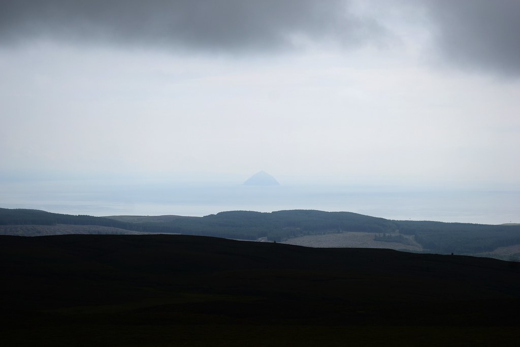 DSC_4559
 by
Chris Mac, on Flickr
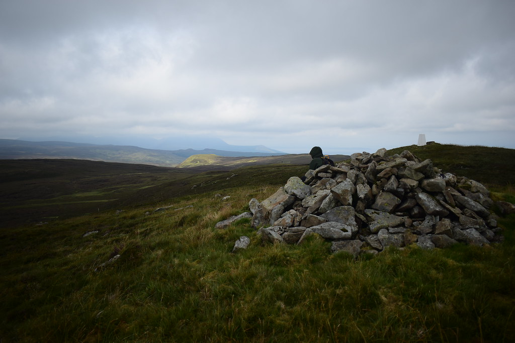
I head over to the cairn for a seat and snack:
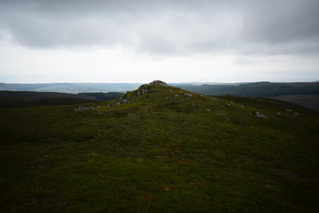 DSC_4561
 by
Chris Mac, on Flickr
Looking back at the trig point:
 DSC_4574
 by
Chris Mac, on Flickr
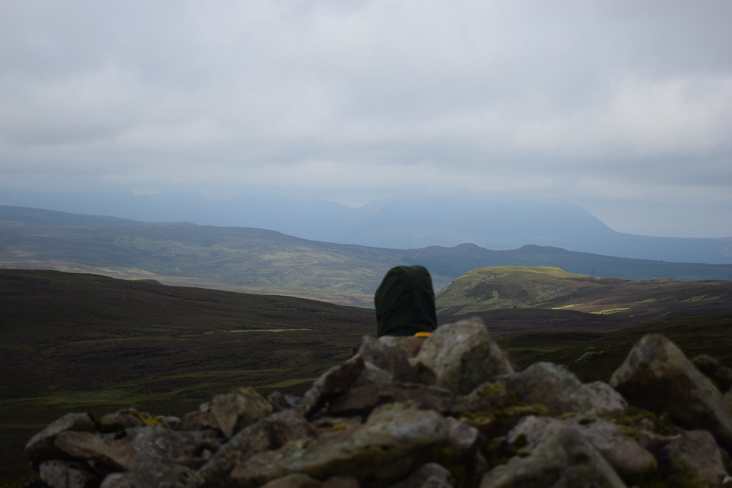
Summit rock, this is just higher than the ground at the base of the cairn, no doubt about Y summiting unlike the couple from earlier who never made it this far:
 DSC_4586
 by
Chris Mac, on Flickr
It was slightly chilly and drizzly but not too bad and looked like it may be clearing up a little...
 DSC_4594
 by
Chris Mac, on Flickr
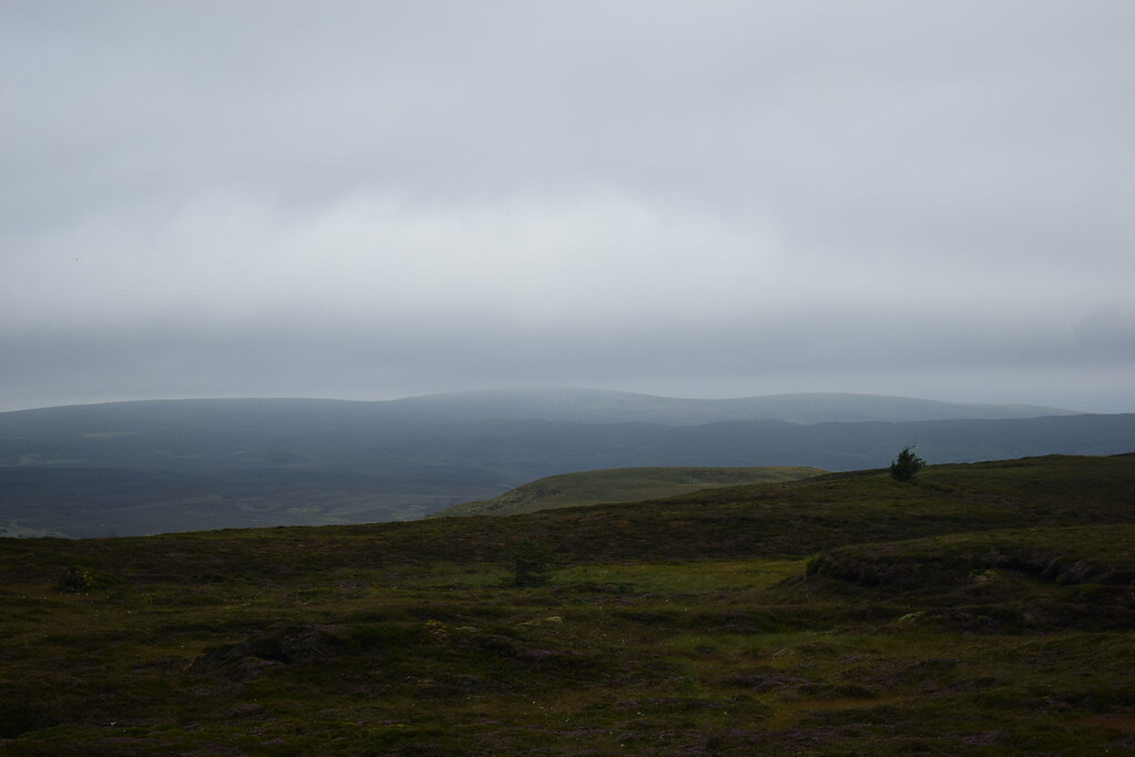
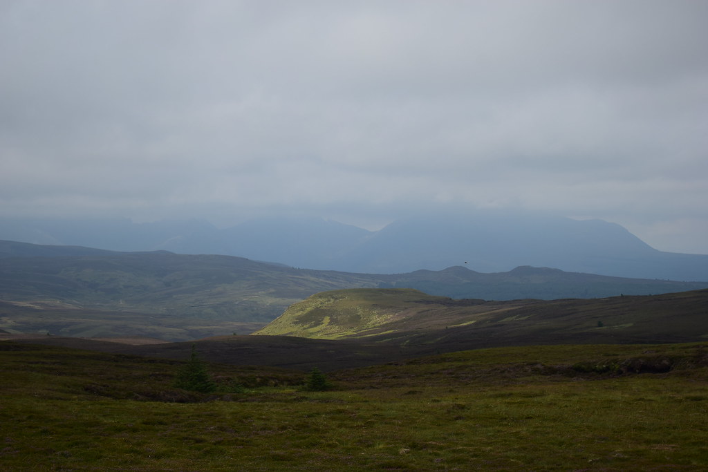
Looking north to the Corbetts:
 DSC_4601
 by
Chris Mac, on Flickr
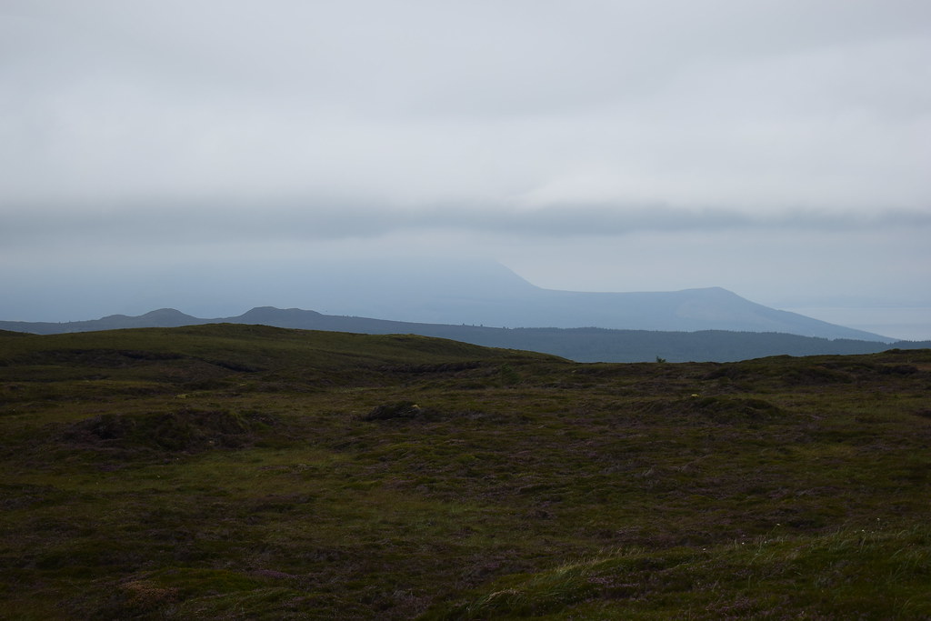
Definitely clearing...
 DSC_4612
 by
Chris Mac, on Flickr
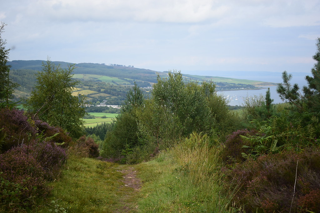
We sat and snacked while I pointed out some of the landmarks around us then decided to set off back downhill and head around the south side of the Urie Loch, Holy Isle in view on the way:
 DSC_4618
 by
Chris Mac, on Flickr
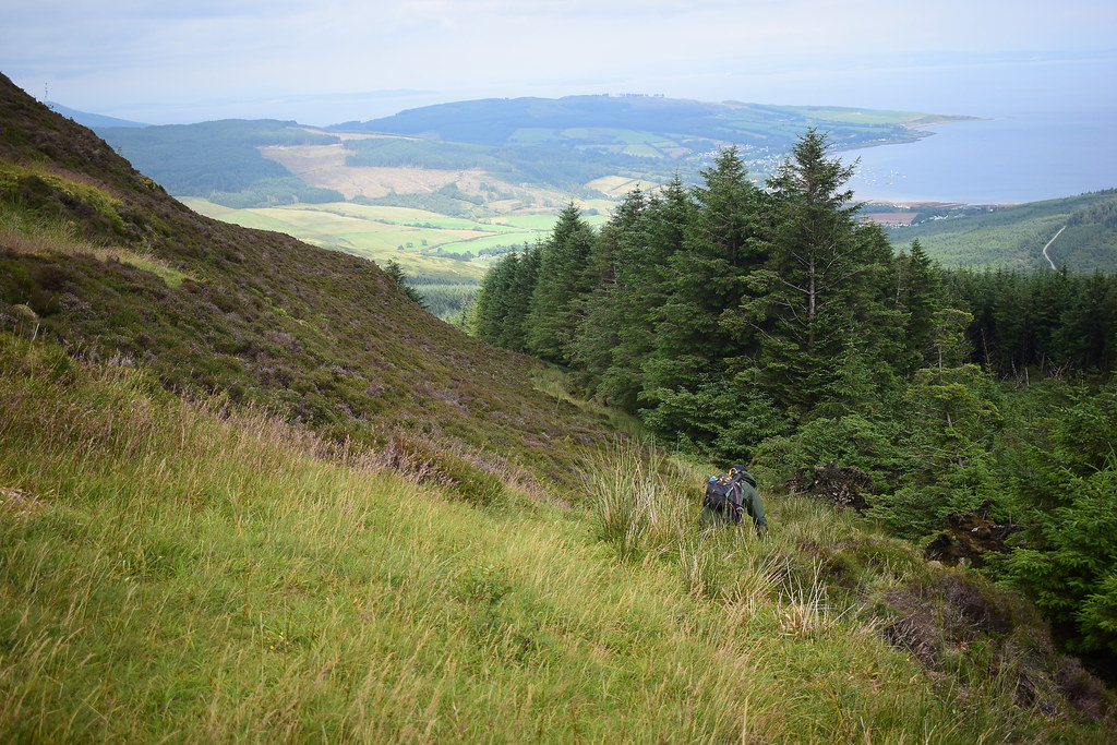
We headed back the way we came but veered right a bit:
 DSC_4621
 by
Chris Mac, on Flickr
Approaching Urie Loch again:
 DSC_4625
 by
Chris Mac, on Flickr
Just up the hill behind the loch was a good spot for a photo, on any other day...
 DSC_4629
 by
Chris Mac, on Flickr
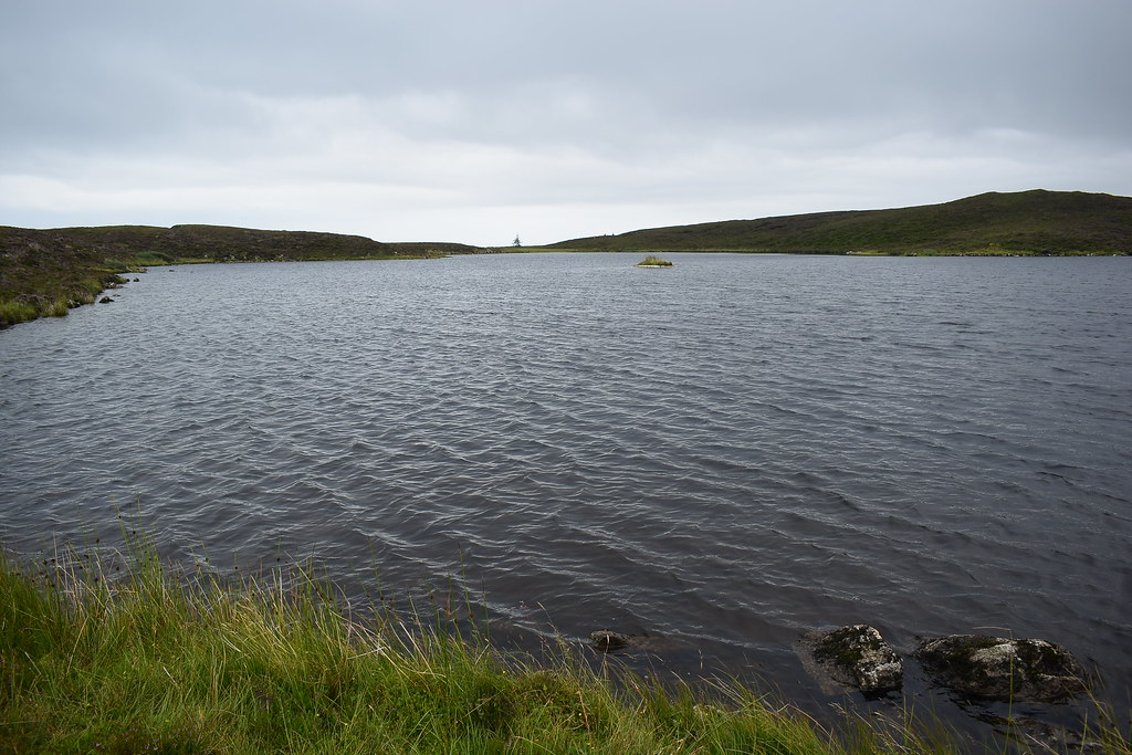
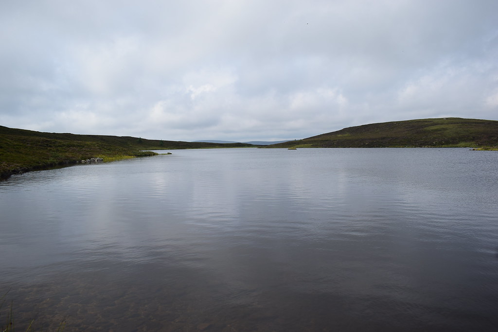
Urie Loch:
 DSC_4631
 by
Chris Mac, on Flickr
We reached the south side of the loch and headed around before finding a faint path again:
 DSC_4632
 by
Chris Mac, on Flickr
I was worried about the part with the reeds but it proved a lot easier to travserse than it looked:
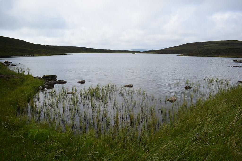 DSC_4634
 by
Chris Mac, on Flickr
Mushrooms:
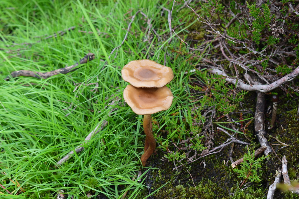 DSC_4640
 by
Chris Mac, on Flickr
Around the loch we followed the path back to the Urie summit:
 DSC_4646
 by
Chris Mac, on Flickr
Looking back at the Urie Loch and Tighvein:
 DSC_4647
 by
Chris Mac, on Flickr
Tighvein summit zoomed with trig pillar visible:
 DSC_4650
 by
Chris Mac, on Flickr
Down we went, back onto the main path:
 DSC_4652
 by
Chris Mac, on Flickr
 DSC_4659
 by
Chris Mac, on Flickr
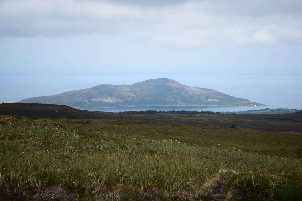
Holy Isle:
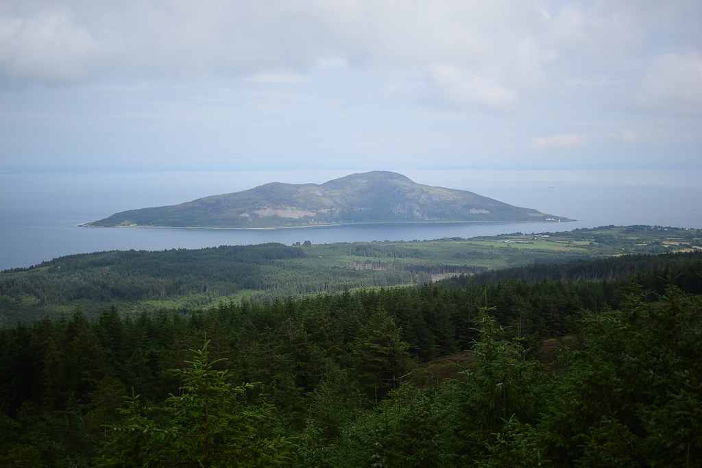 DSC_4661
 by
Chris Mac, on Flickr
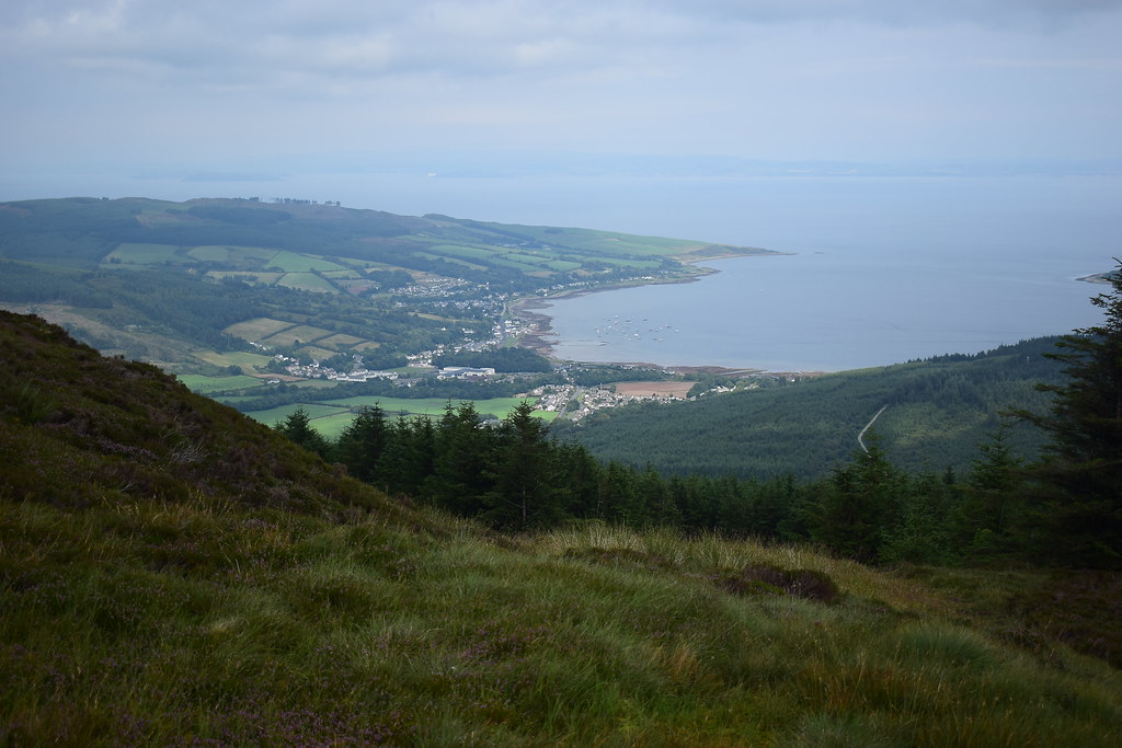
Typical... the view I was wanting only starts to clear on the way down:

 DSC_4676
 by
Chris Mac, on Flickr
Lamlash down below:
 DSC_4680
 by
Chris Mac, on Flickr
Back past the quit-point from a few years ago, luckily not a torrent of mud and water today!
 DSC_4682
 by
Chris Mac, on Flickr
Crossing the new forestry track again:
 DSC_4688
 by
Chris Mac, on Flickr
Back down through the fir tree avenue:
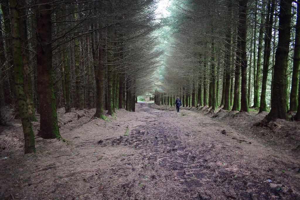 DSC_4691
 by
Chris Mac, on Flickr
And back out the forest onto the path:
 DSC_4694
 by
Chris Mac, on Flickr
 DSC_4695
 by
Chris Mac, on Flickr
No stags or eagles today, it was one for the little creatures:
 DSC_4704
 by
Chris Mac, on Flickr
We pass the brambles again:
 DSC_4708
 by
Chris Mac, on Flickr
The Ross in view again:
 DSC_4713
 by
Chris Mac, on Flickr
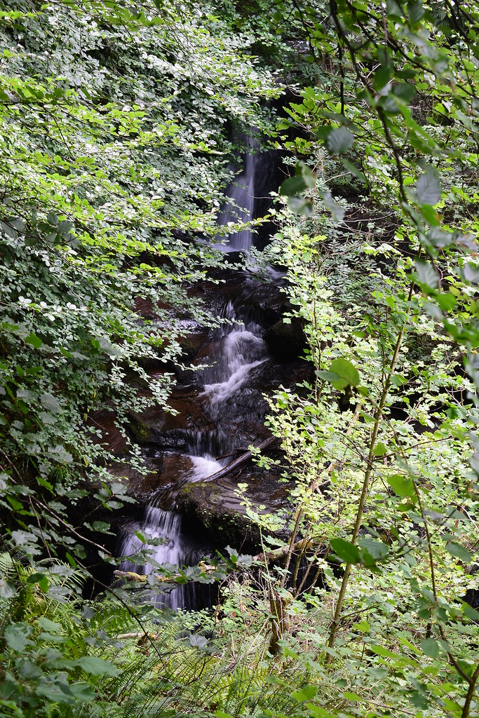
Further down there are lots of options for paths to chose from and we lucked out and picked the best one, heading down beside the burn and passing a few pools and waterfalls:
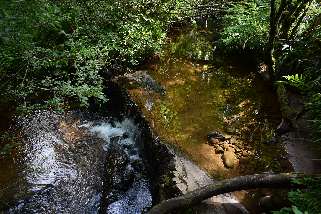 DSC_4714
 by
Chris Mac, on Flickr
Pools:
 DSC_4717
 by
Chris Mac, on Flickr
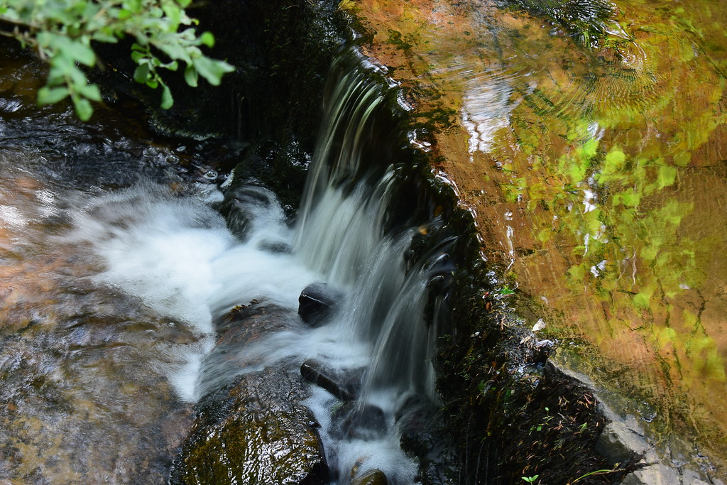
Waterfall:
 DSC_4735
 by
Chris Mac, on Flickr
Another pool:
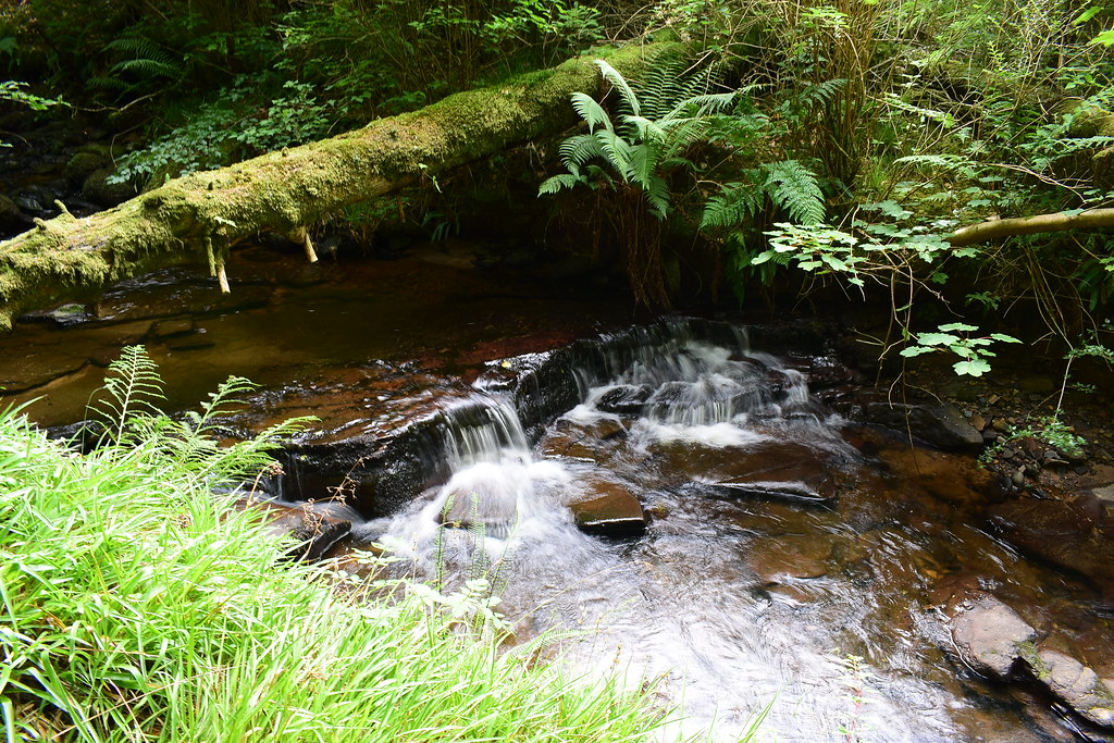 DSC_4738
 by
Chris Mac, on Flickr
In no time at all we crossed the bridge at the start back to Dyemill car park:
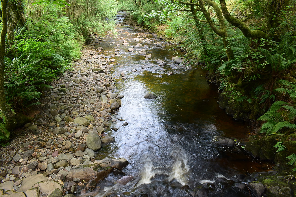 DSC_4744
 by
Chris Mac, on Flickr
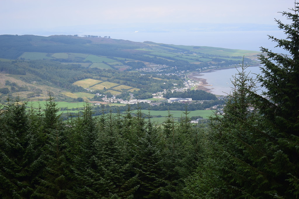
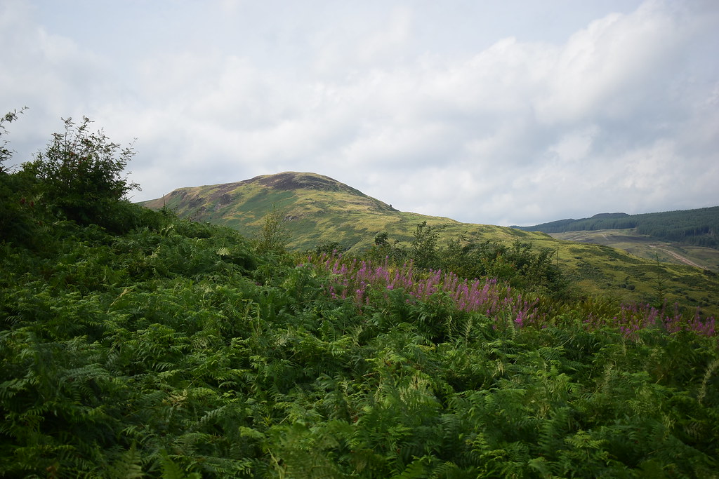
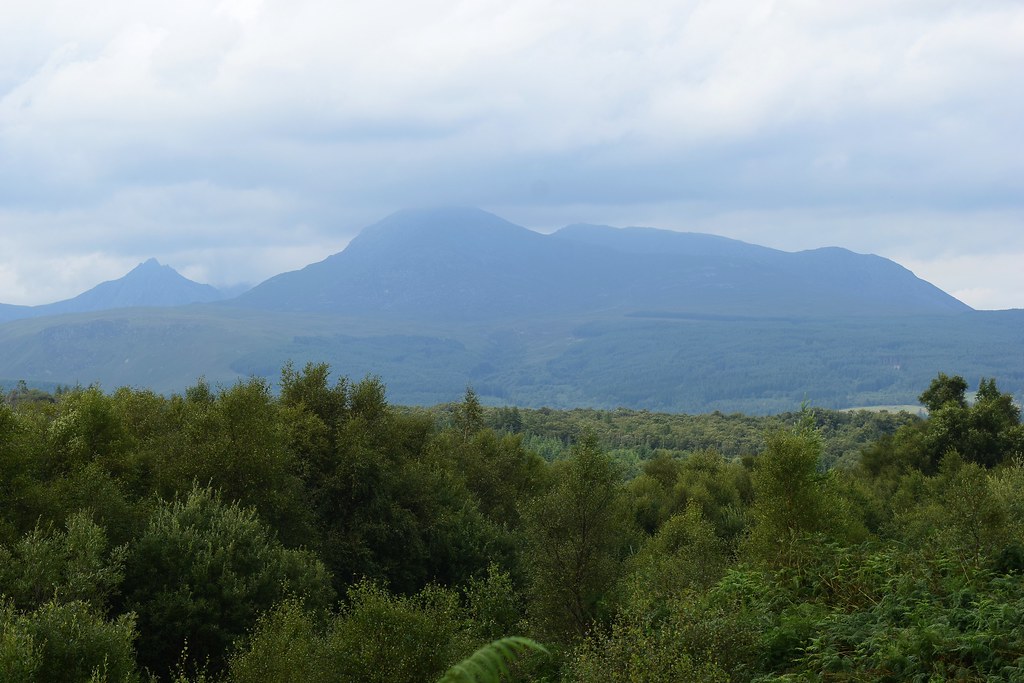
Starved of a good view of the Corbetts and with the afternoon weather clearing a little, I of course had to stop at the viewpoint atop Lamlash hill for a few pics:
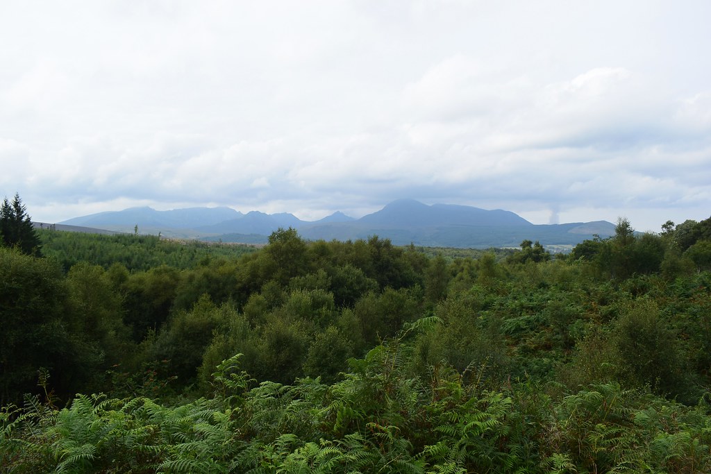 DSC_4746
 by
Chris Mac, on Flickr
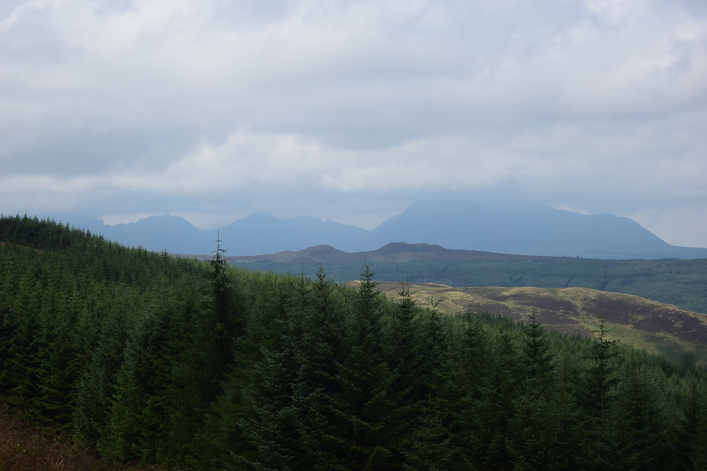
Beinn Tarsuinn in full glory, from Beinn Nuis on the left, right to the summit with Beinn a'Chliabhain & A'Chir it's two Graham tops, Arran's underrated mountain by far:
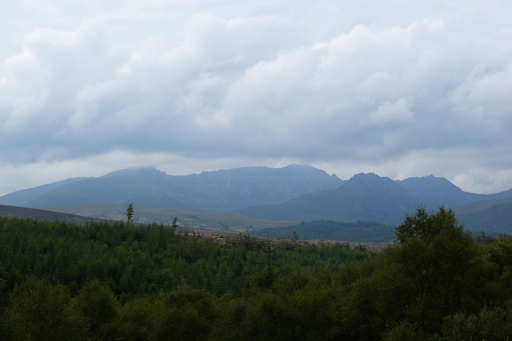 DSC_4749
 by
Chris Mac, on Flickr
Cir Mhor:
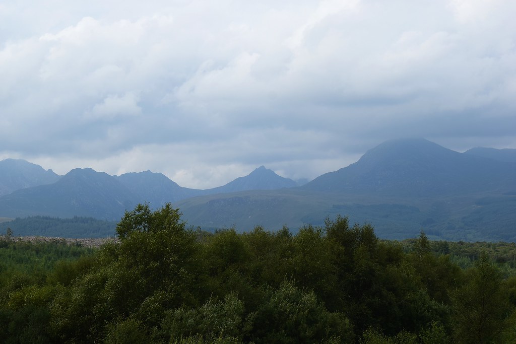 DSC_4752
 by
Chris Mac, on Flickr
Finishing with Goatfell:
 DSC_4754
 by
Chris Mac, on Flickr
I felt quite chuffed and enjoyed turning my final Arran hill marker from red to blue when I got home. So it's only an Arran Marilyn completion but it's a start, not sure how long it will take me to complete anything else but i'll continue ticking them off as I go. Along with a few ridge walks in the Corbetts to bag some missing tops I've now got a focus on the Humps and Tumps of Arran for my next visit although i'll do these solo no doubt, I fully expect a lot more off-piste walking and from the Tighvein walk I know that it will only be me that enjoys it!

