free to be able to rate and comment on reports (as well as access 1:25000 mapping).
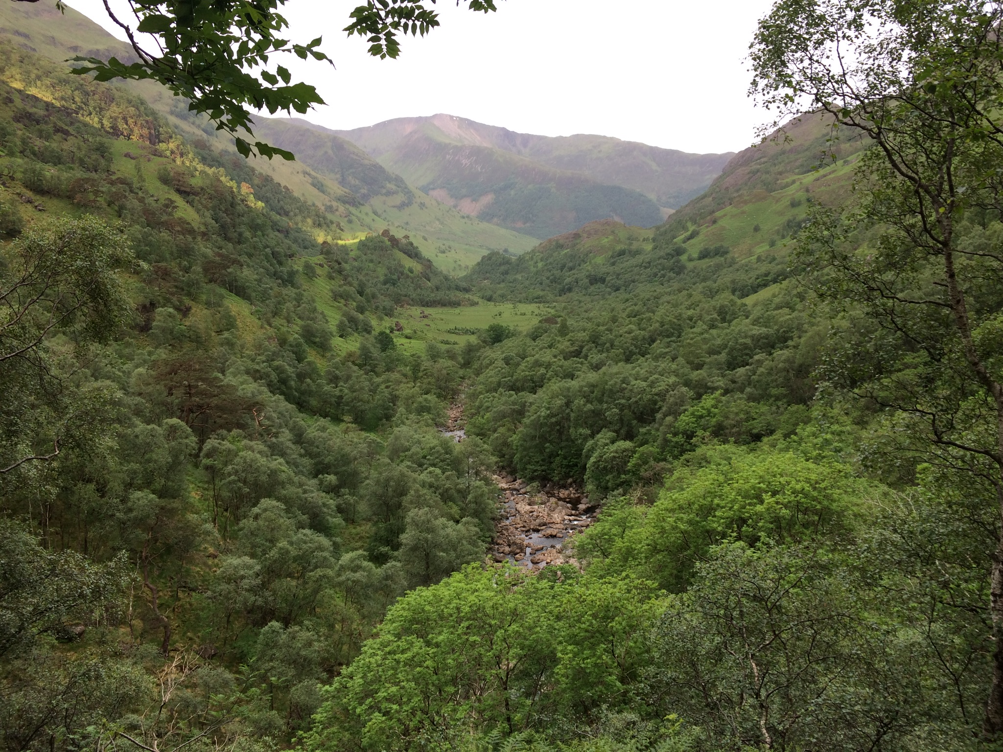
Leaving lush and humid Glen Nevis
Weird rock formations

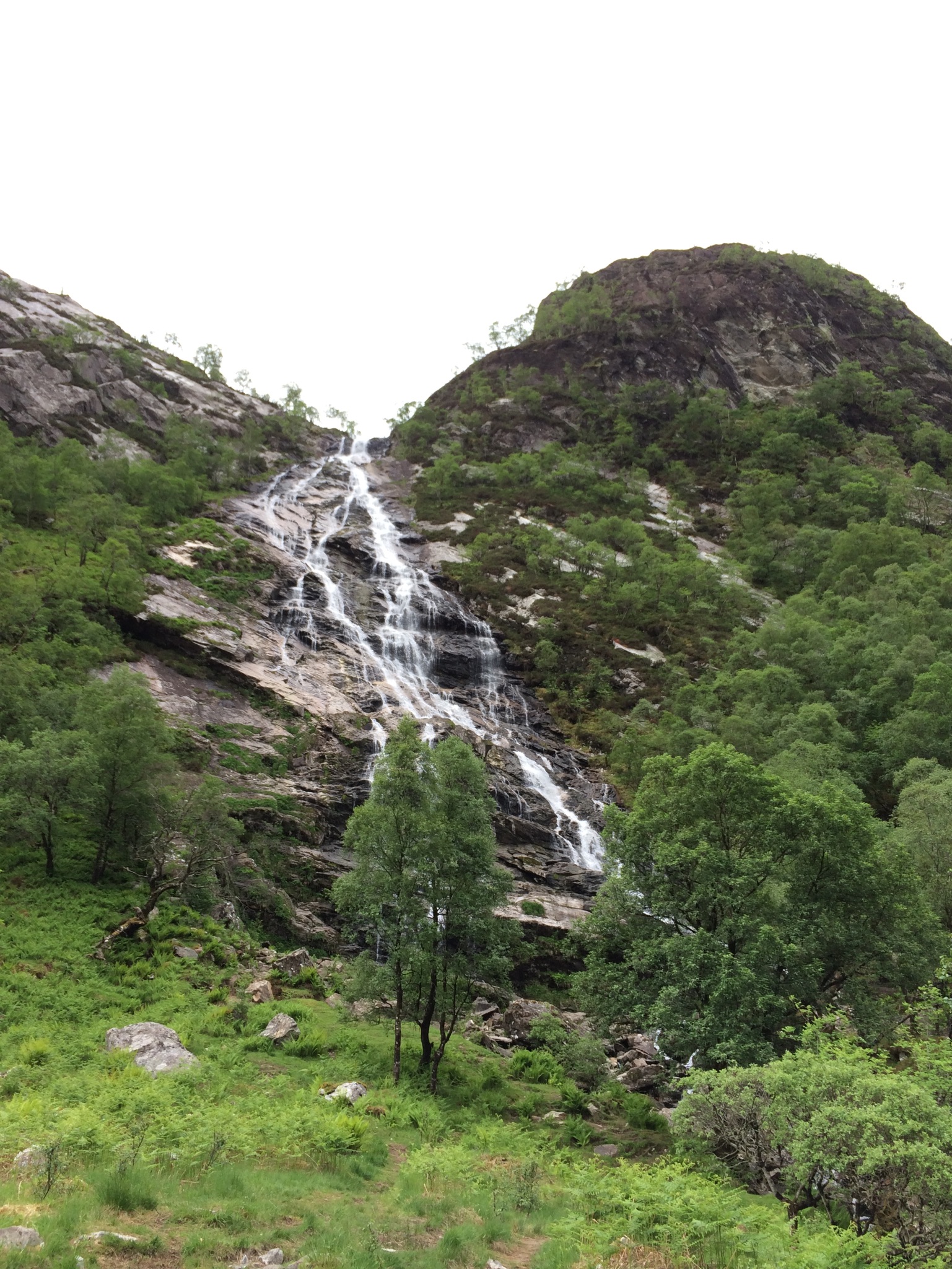
Ahead to Steall Falls

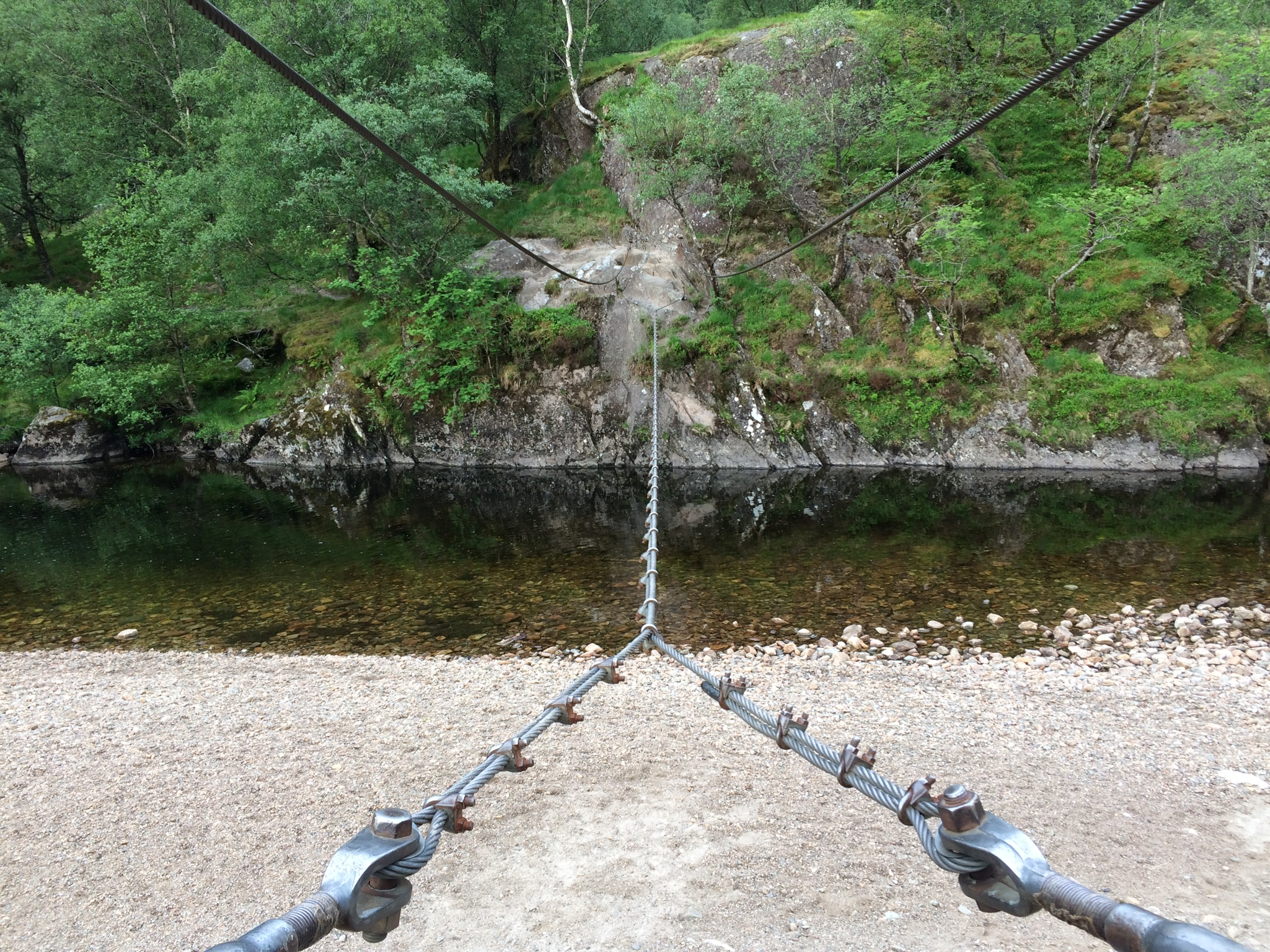
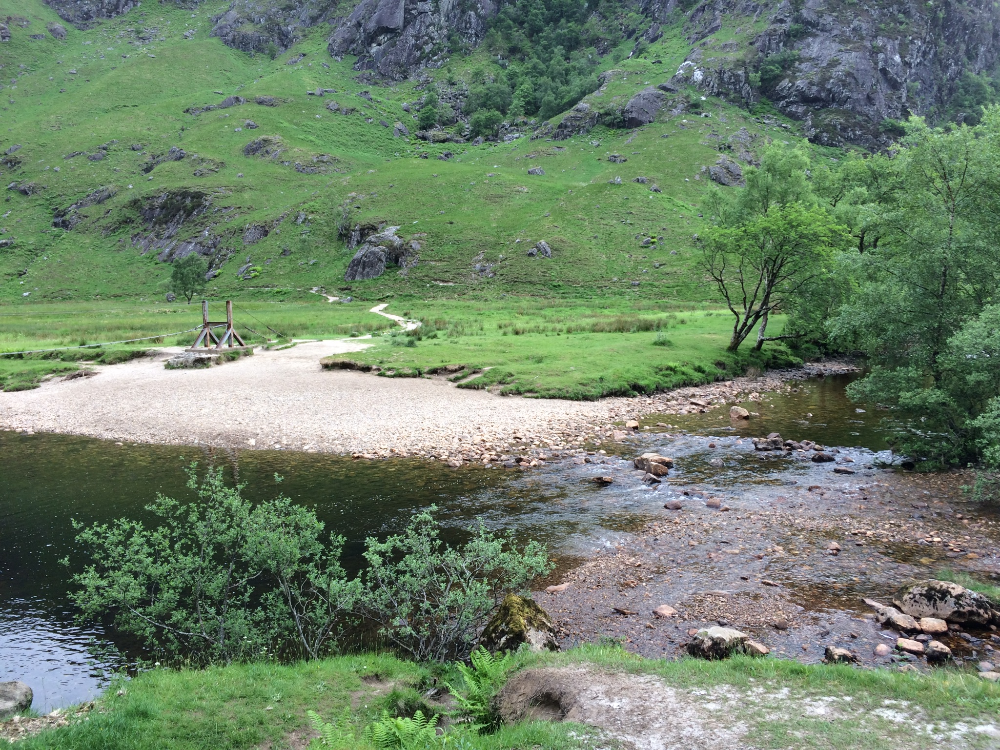
Cable bridge
Tick
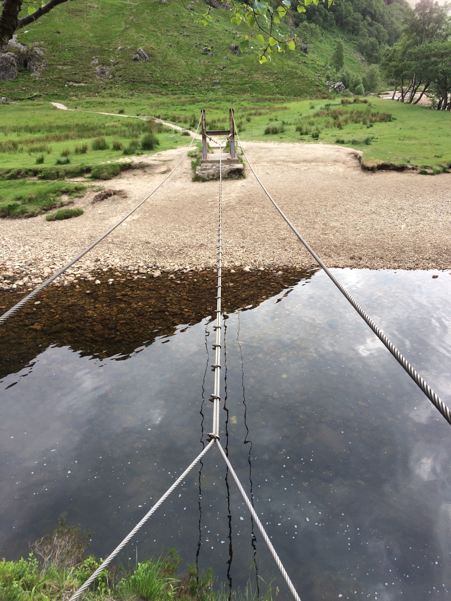
Wadeable, but bridge was fun
Steall Falls
Lots of switchbacks
Cairn to mark approach to An Gearanach
Good path
But narrows
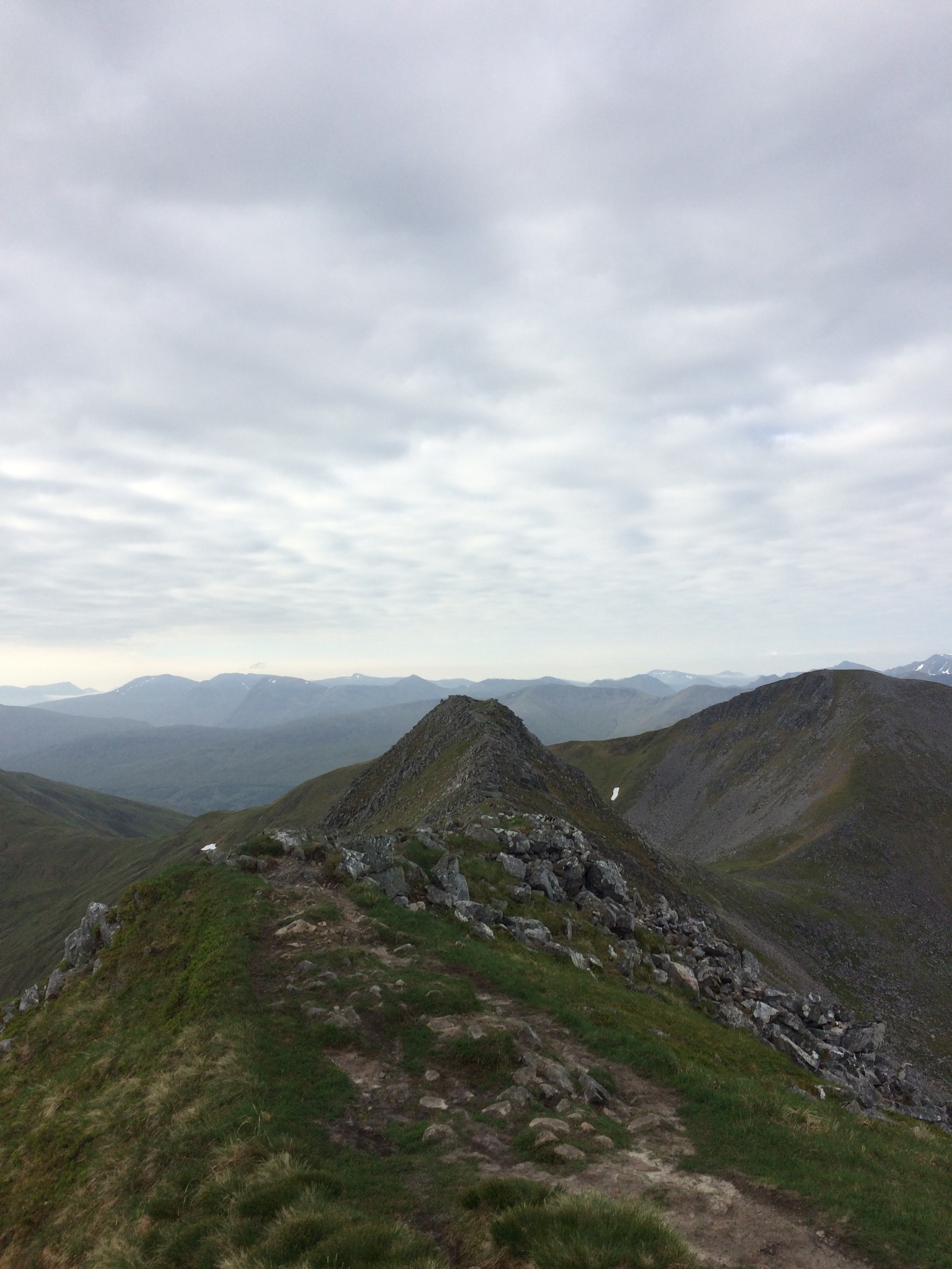
First summit, An Gearanach
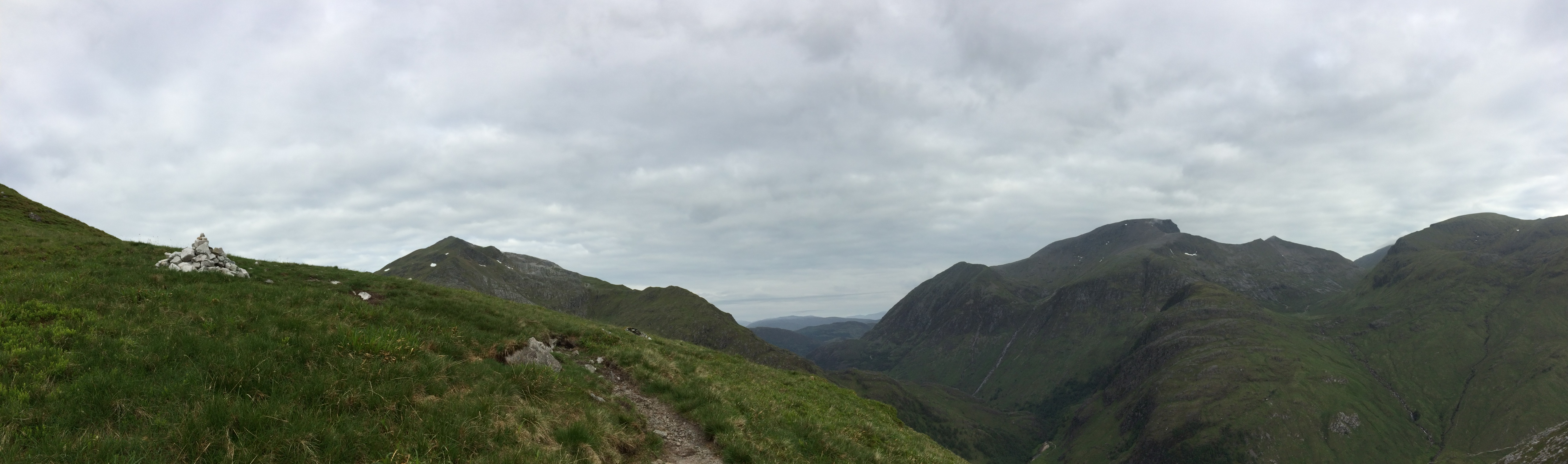
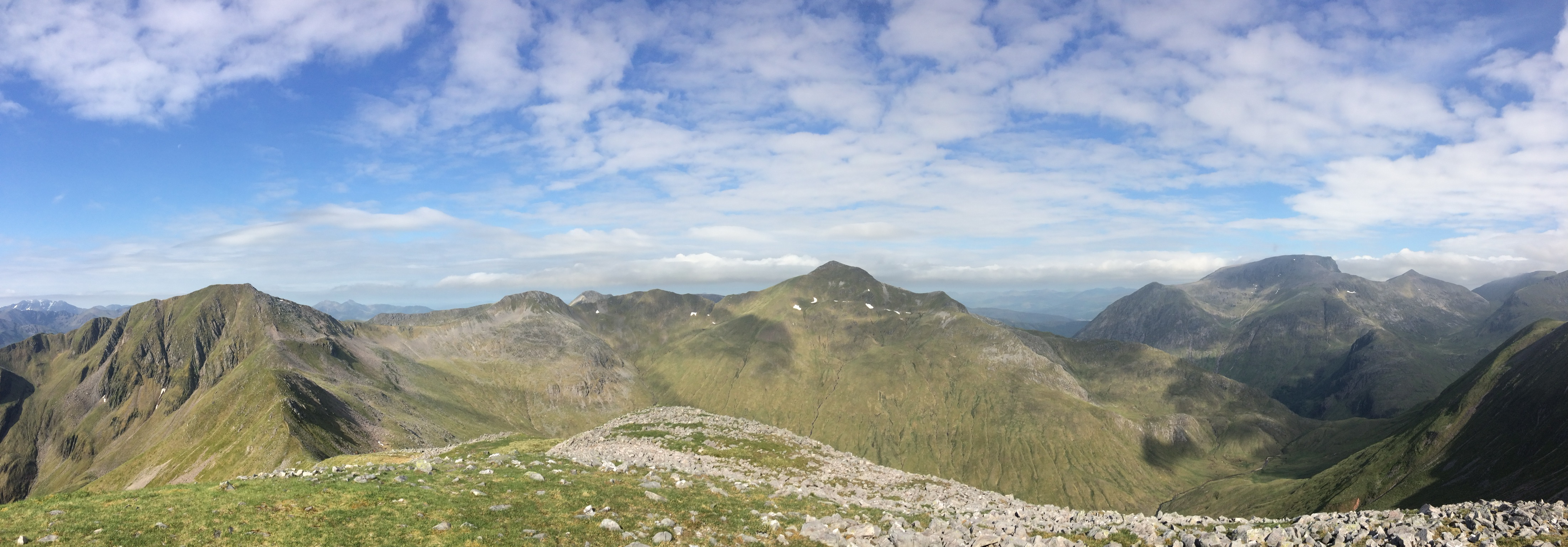
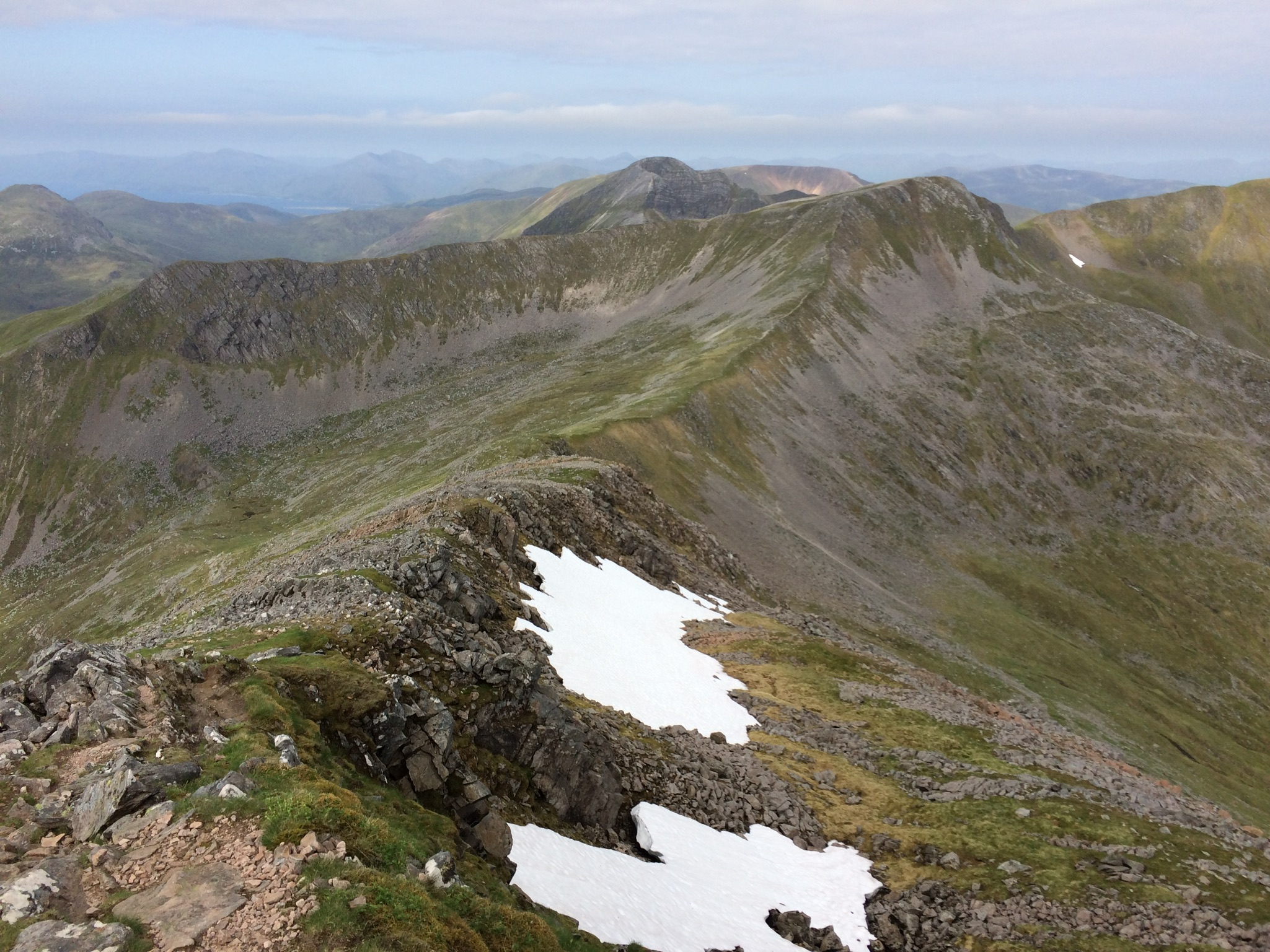
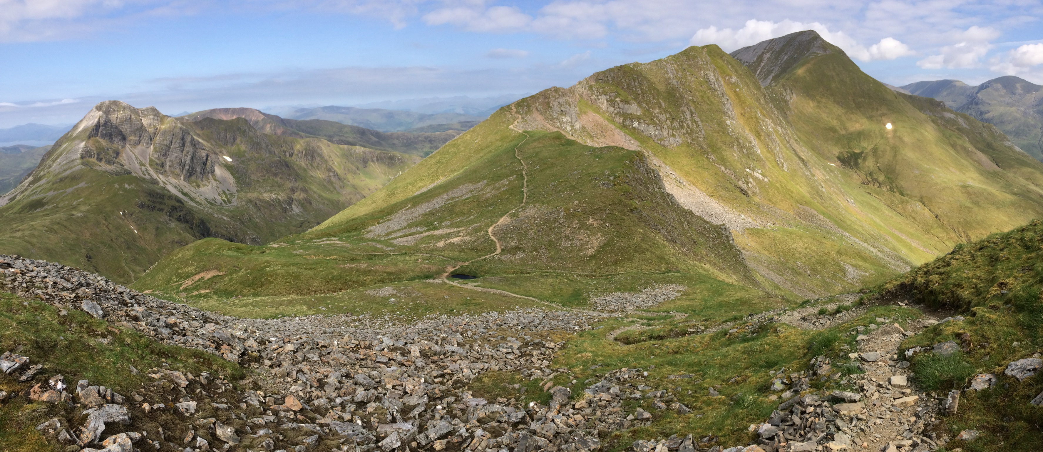
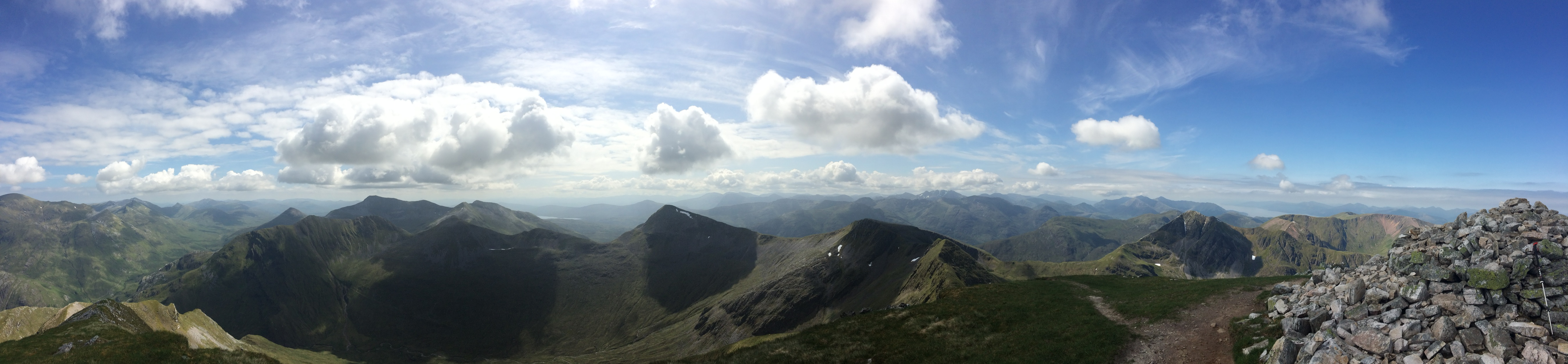
Whole ridge ahead
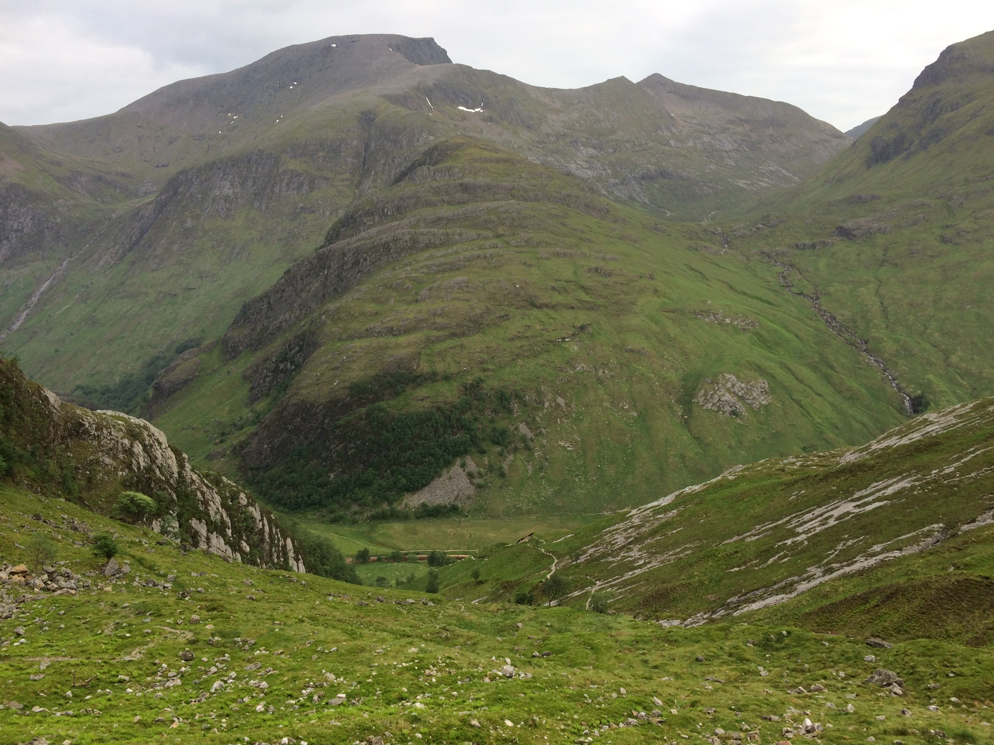
Looking to eastern Mamores
Fun ridge to An Garbhanach (non-Munro)
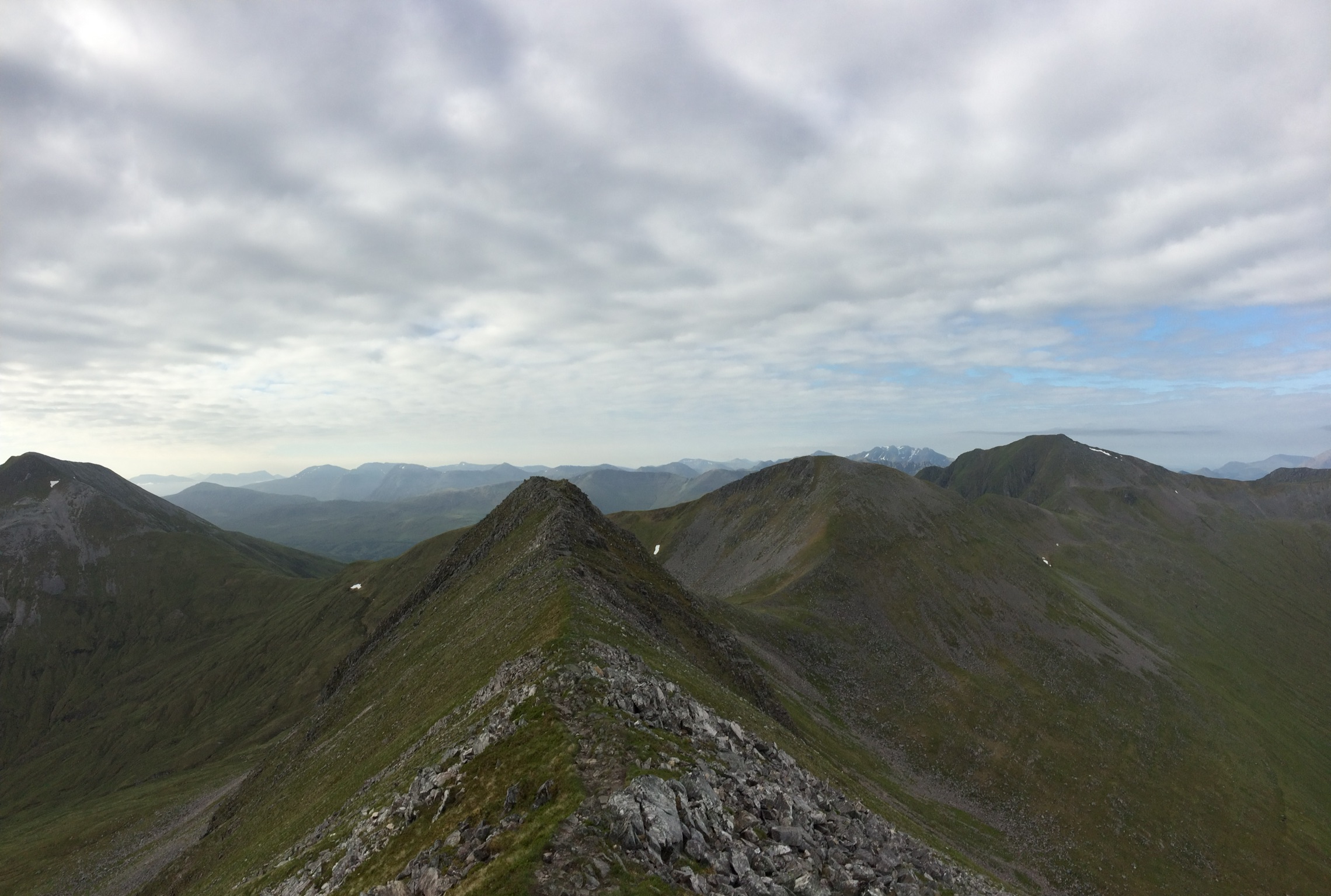
One tricky step

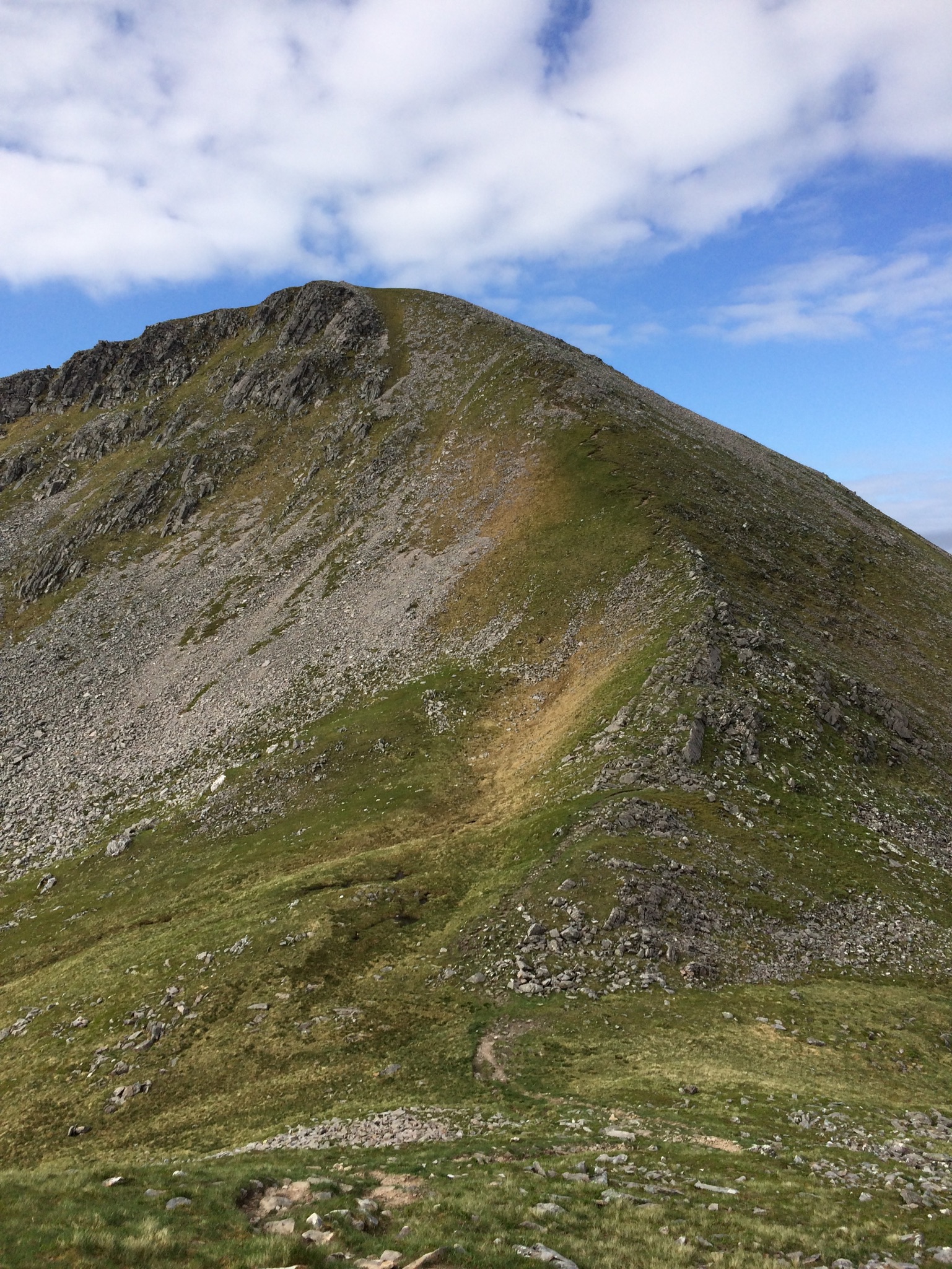
Approach to Stob Coire a' Chairn, steep but not as much as to Am Bodach
Stob Coire a' Chairn summit
SCaC looking back to An Garbhanach
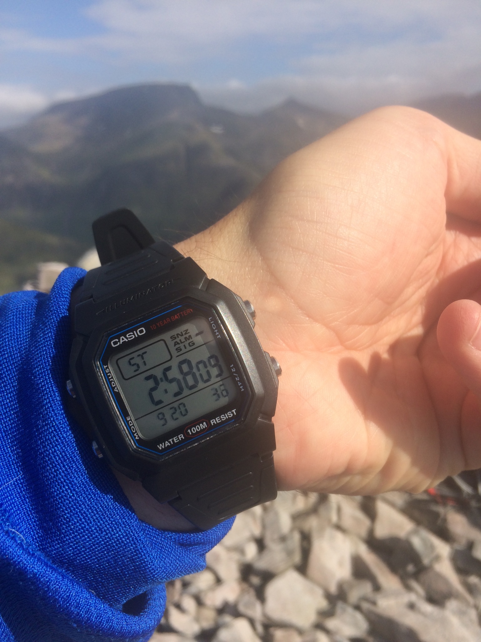
Time to 2nd Munro
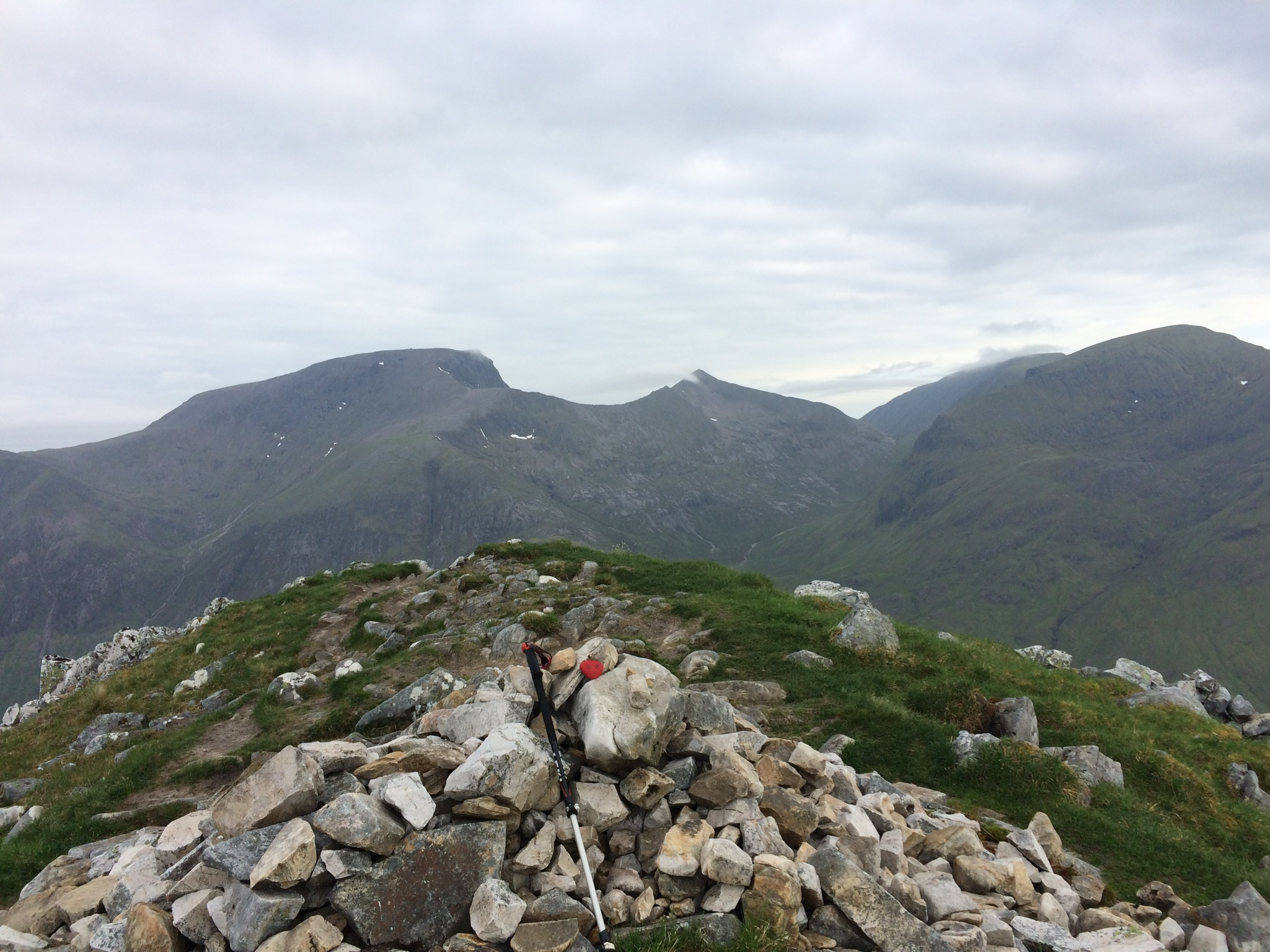
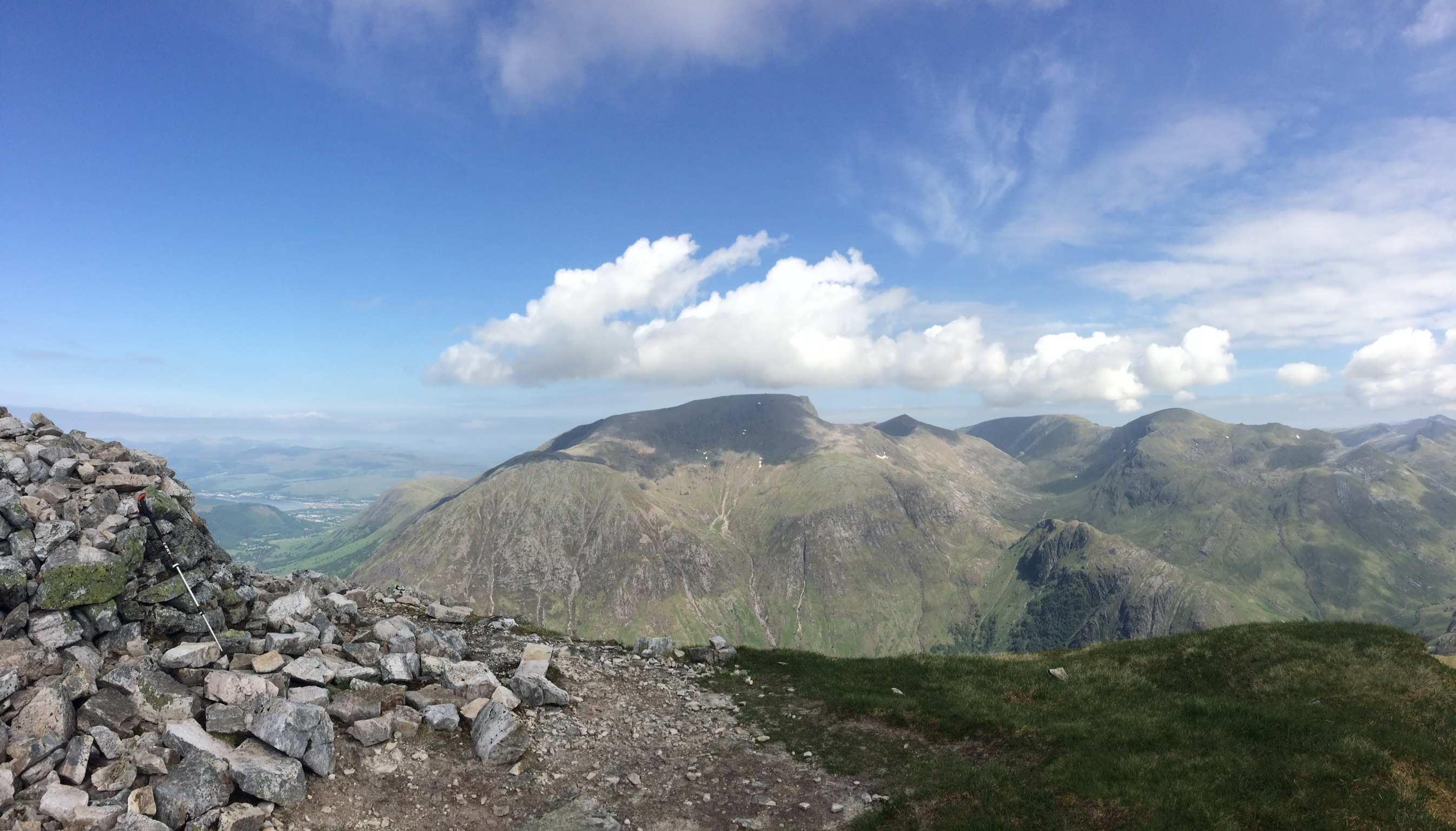
View ahead to 3rd summit, Am Bodach (left), steep approach, with Sgurr a'Mhaim (centre)
Am Bodach summit
AB
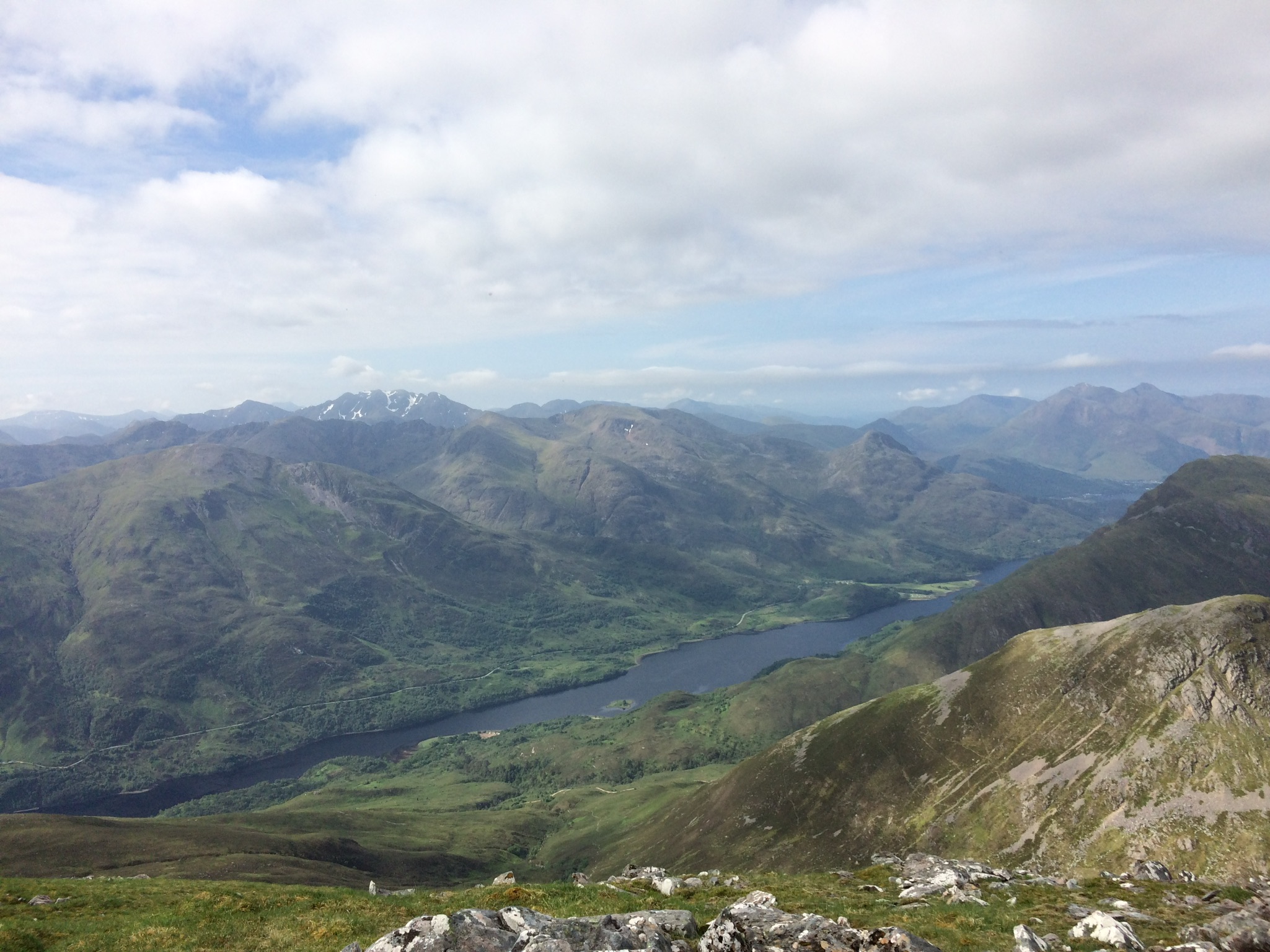
Loch Leven
Descent from AB
Ahead to Sgurr an Iubhair (non-Munro)
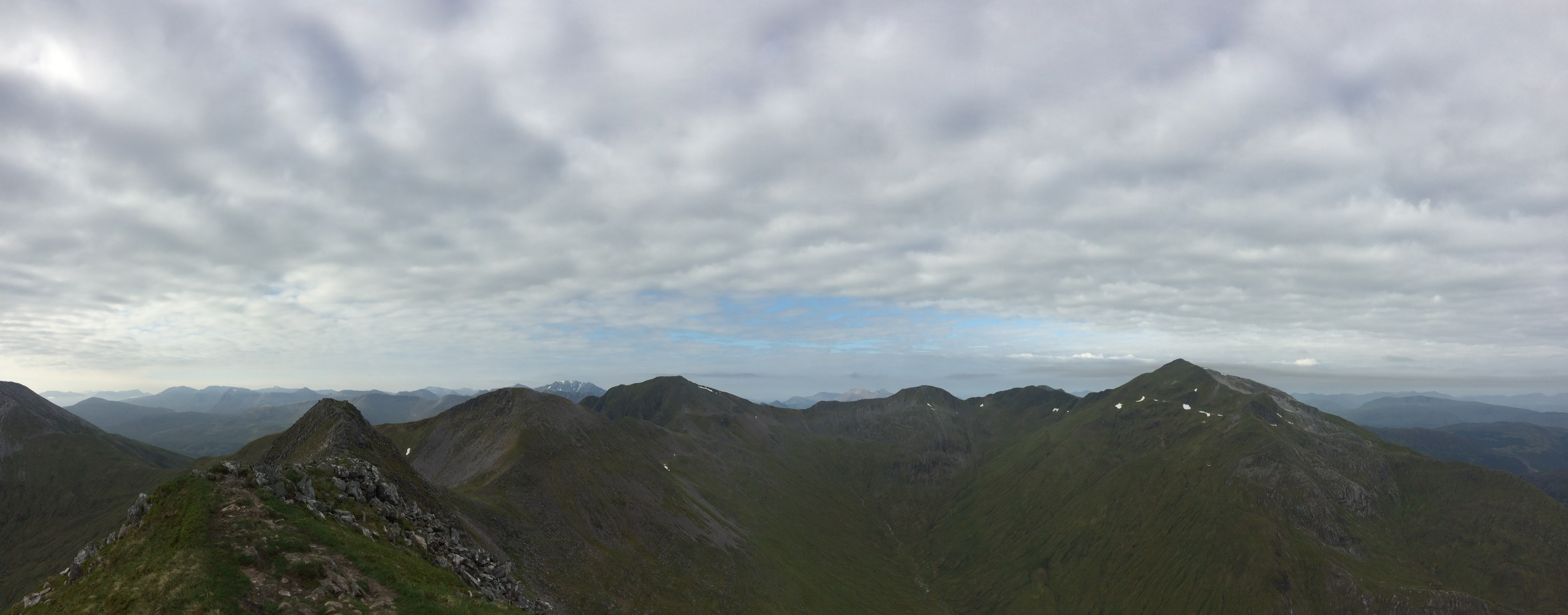
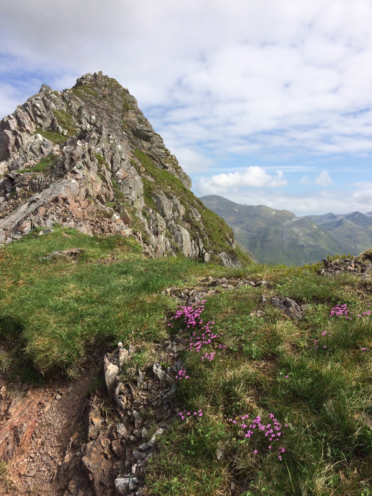
Devil's Ridge from Sgurr an Iubhair

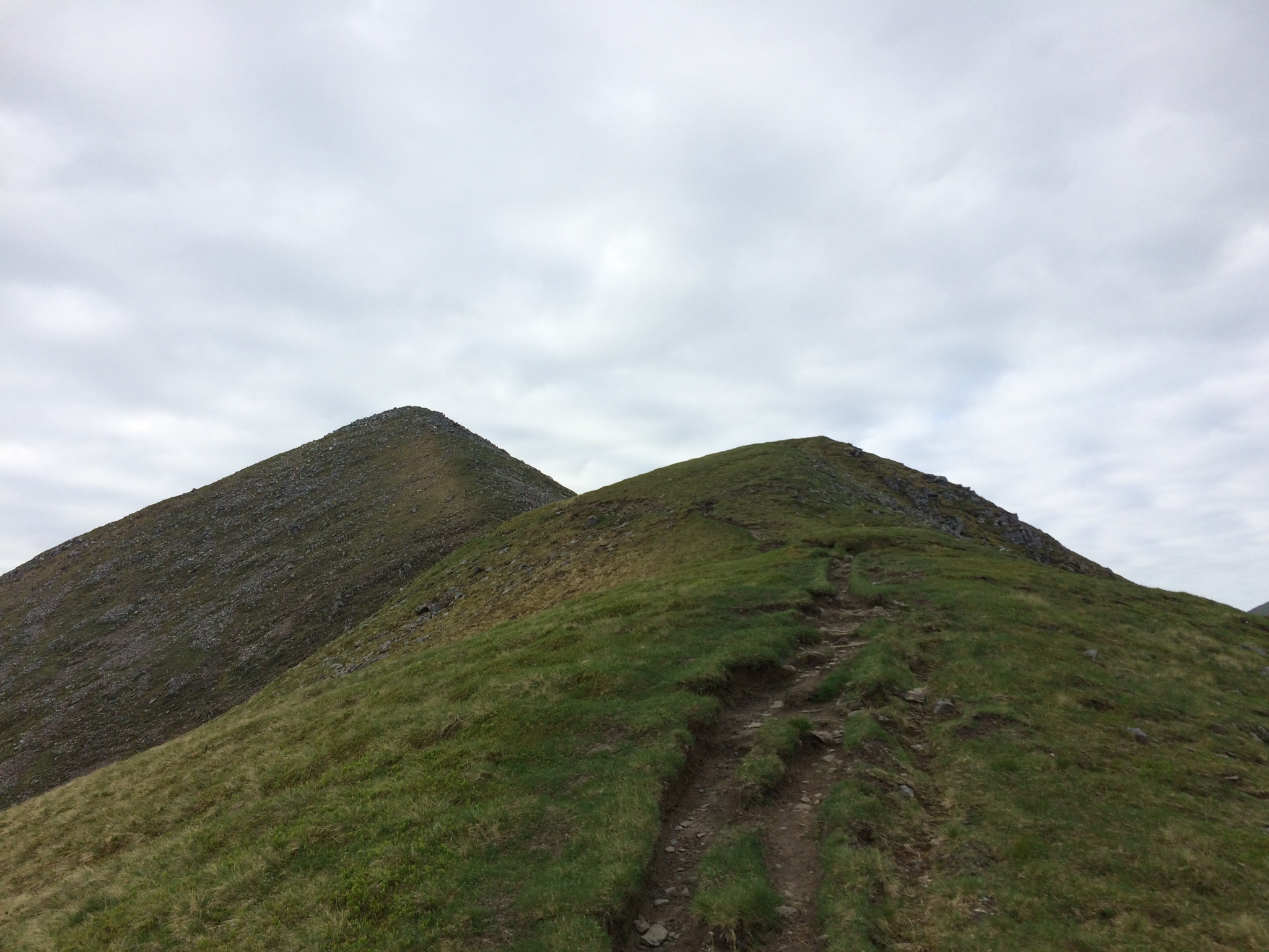
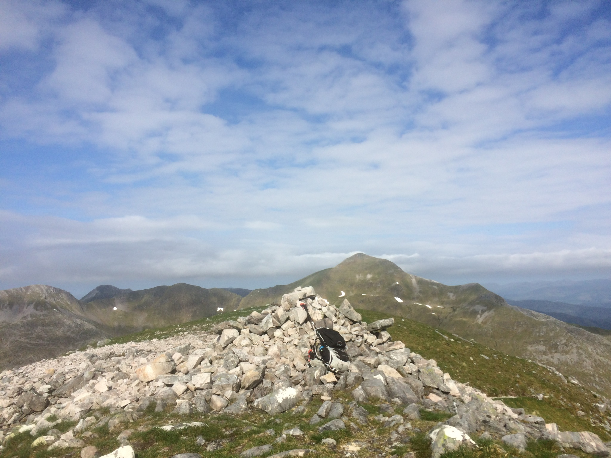
Stob Ban
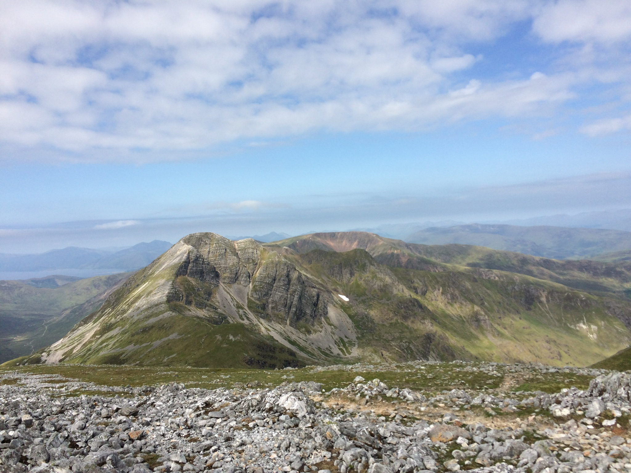
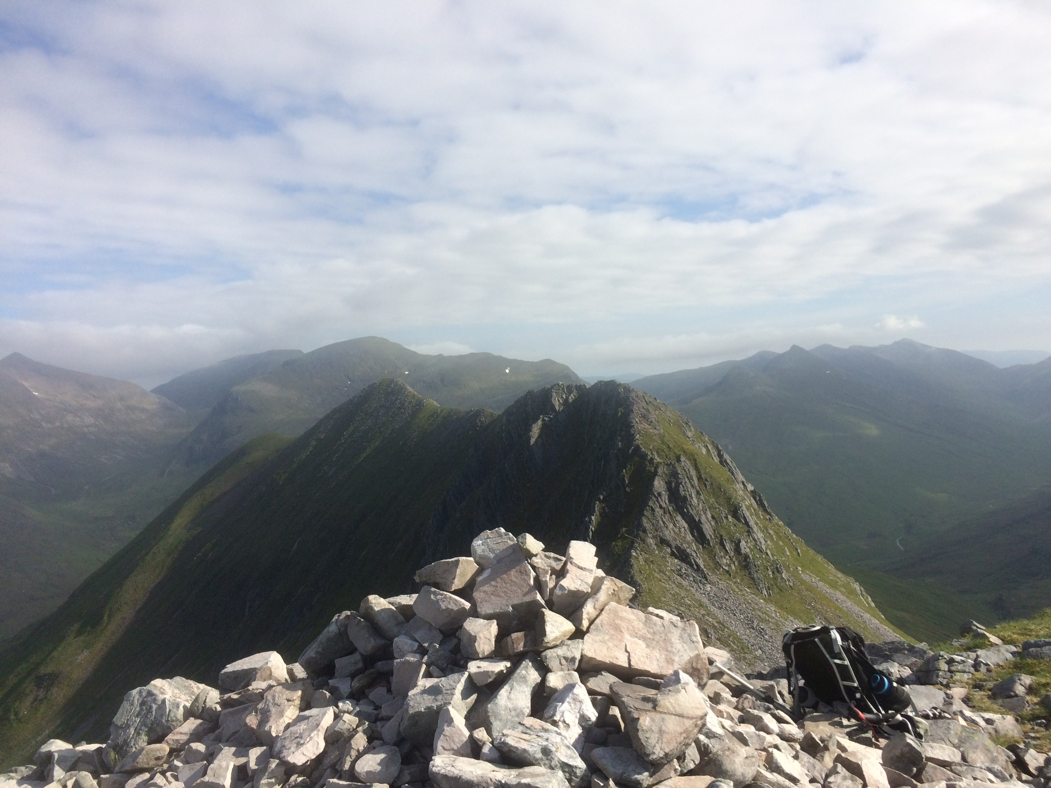
SB and DR
Devil's Ridge flowers
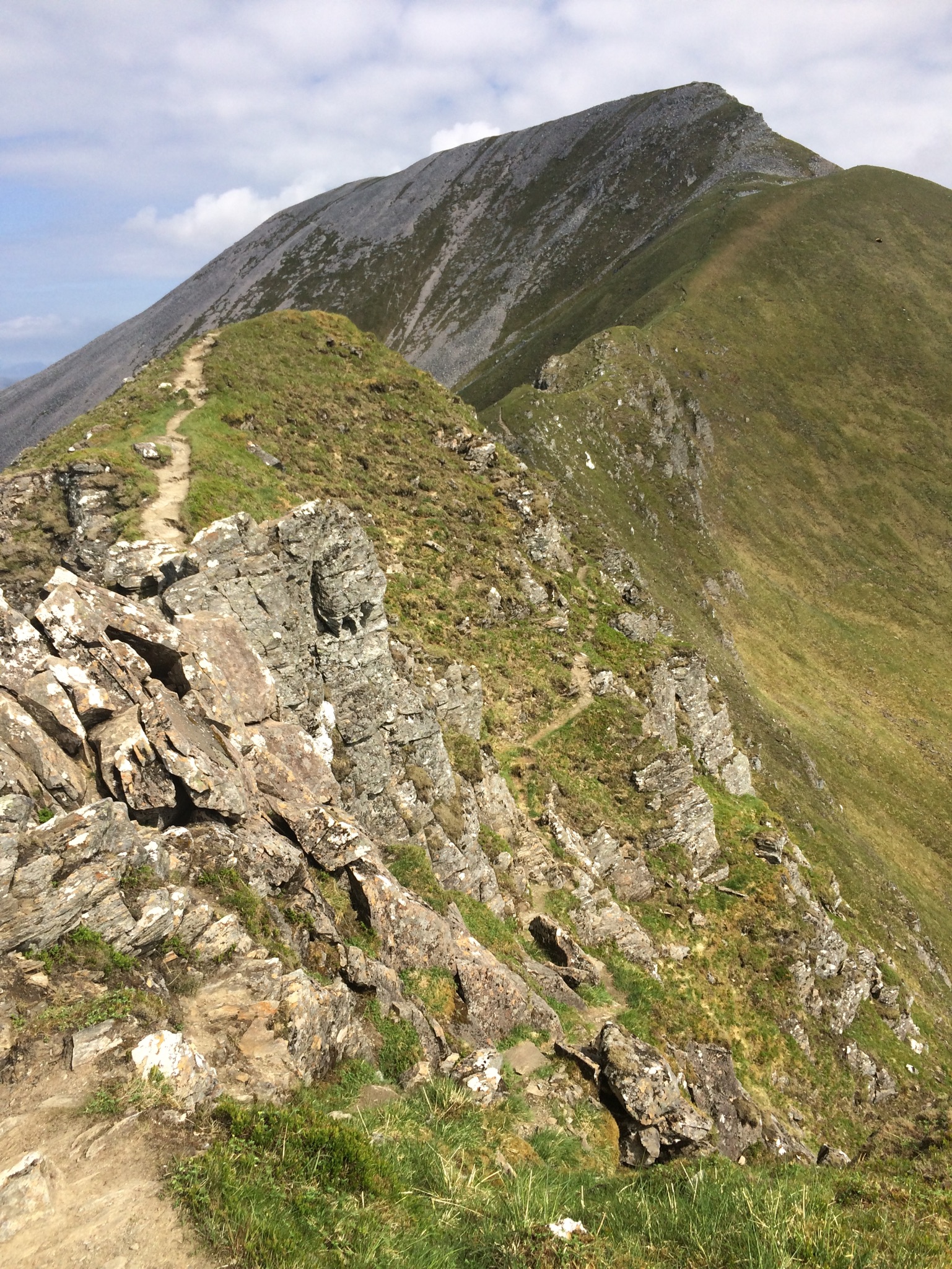
Stob Ban looking cracking again
Classic ridge shot

Bypass
Sgurr a'Mhaim summit
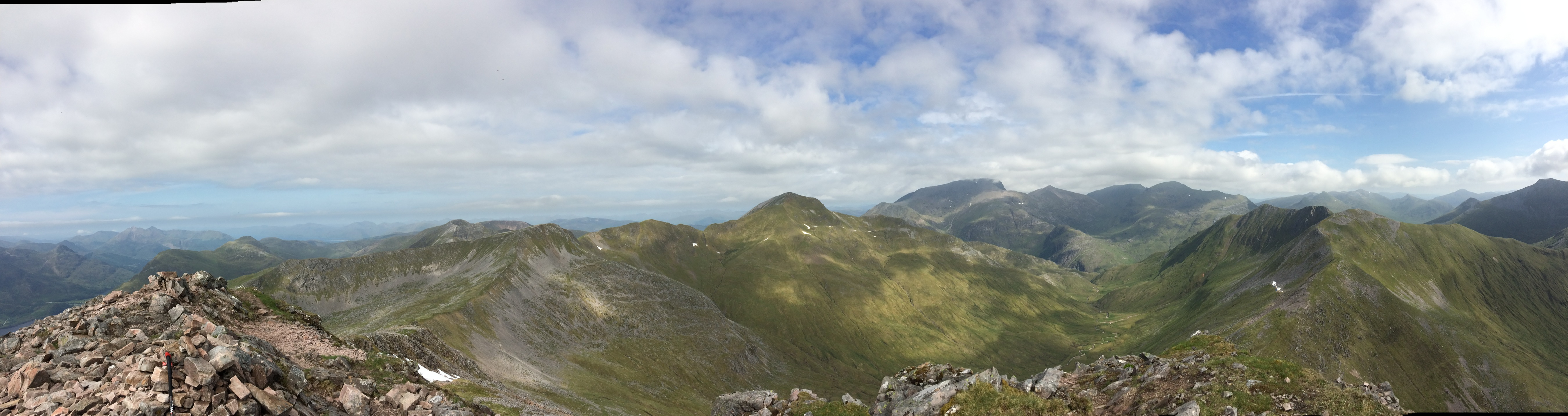
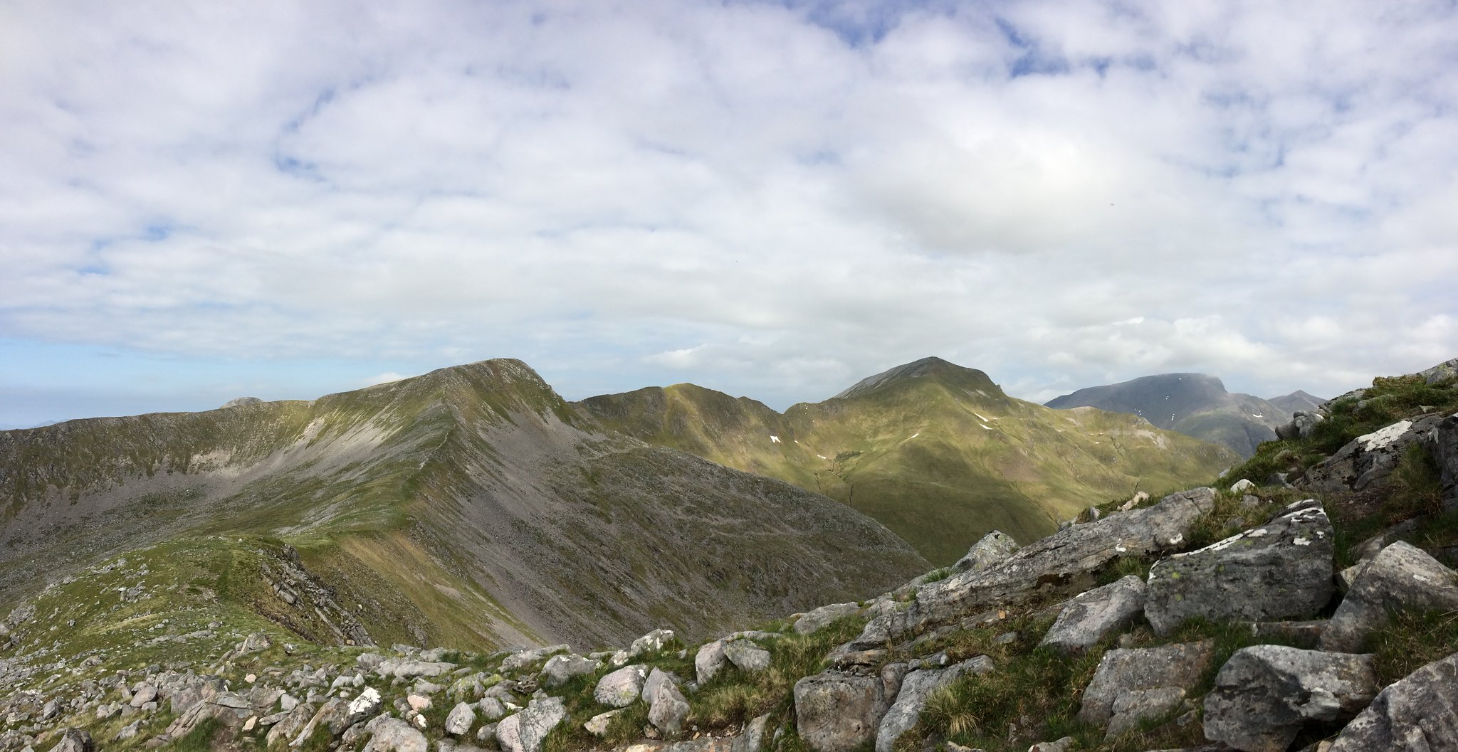
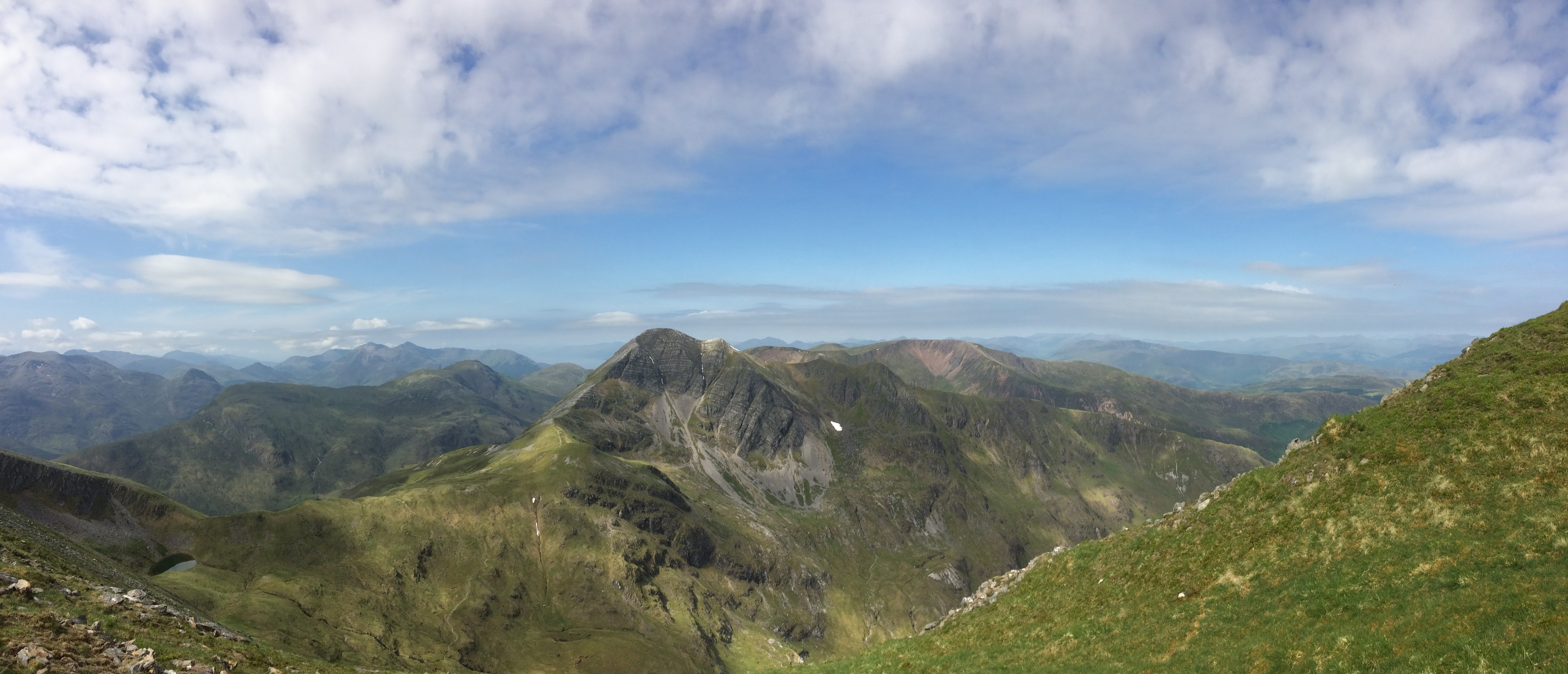
SaM to SB
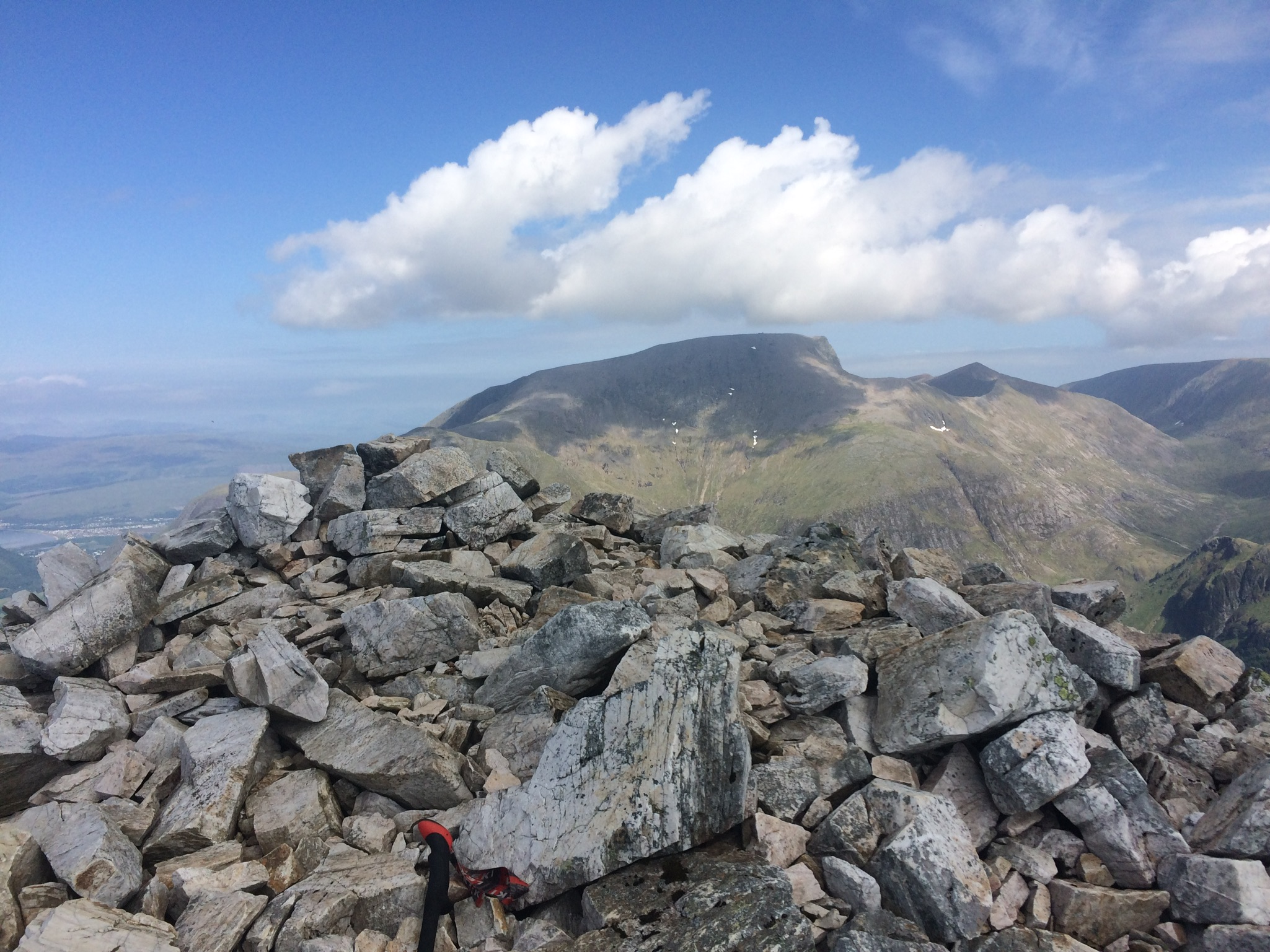
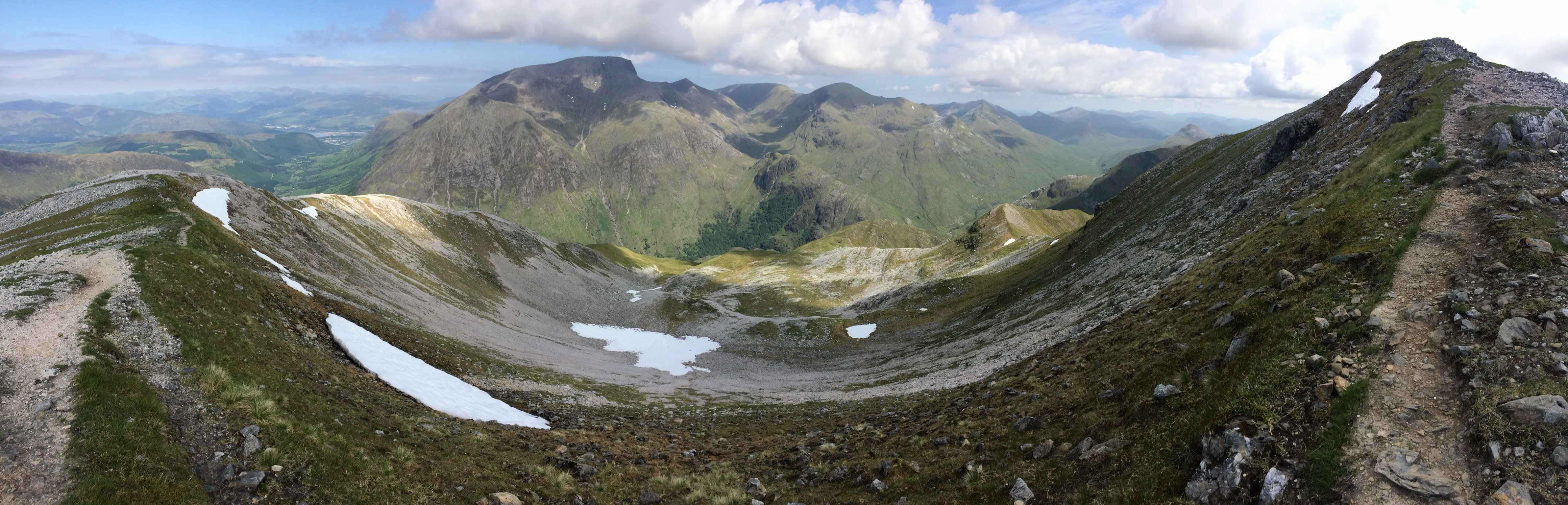
And to The Ben
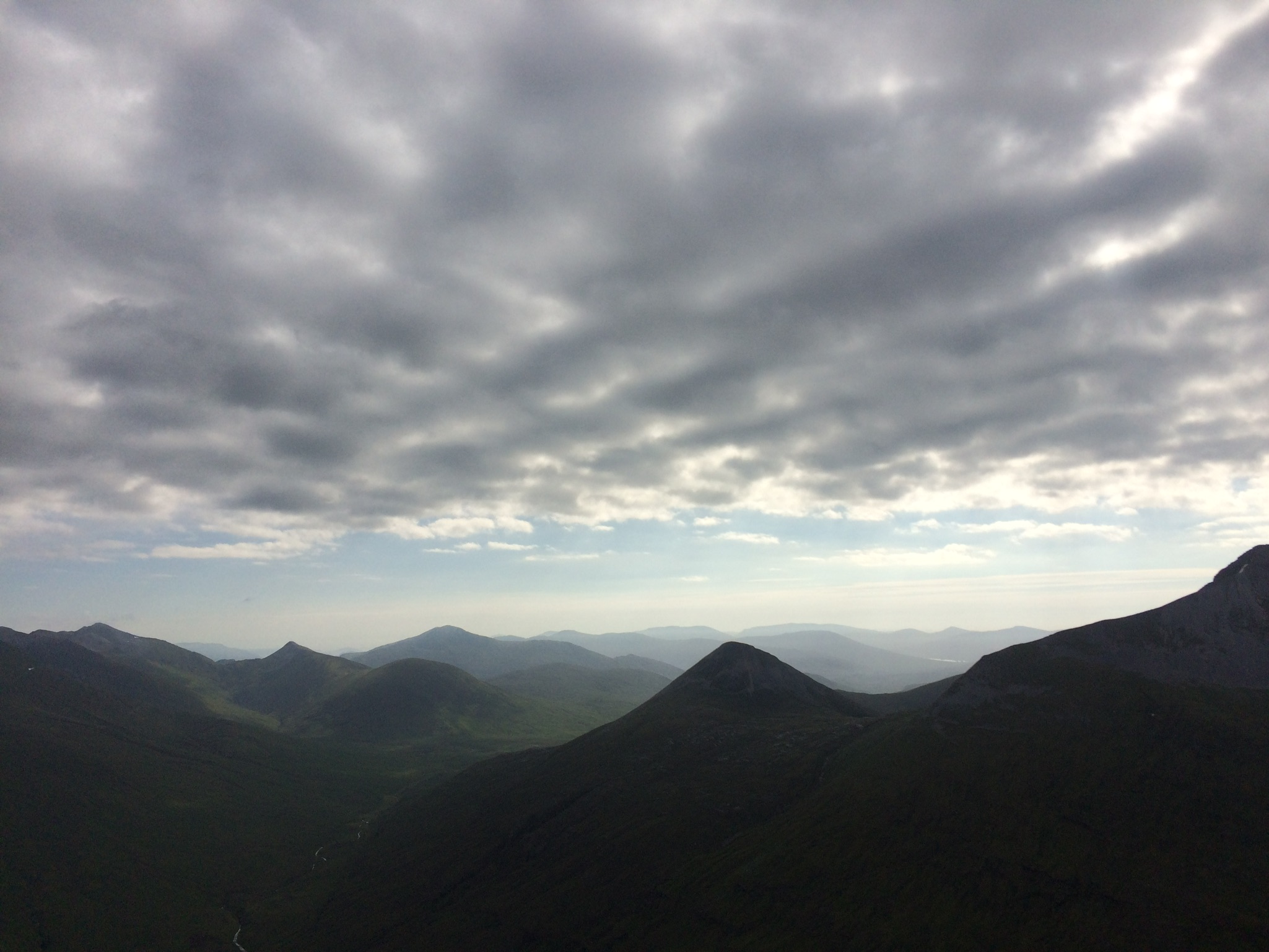
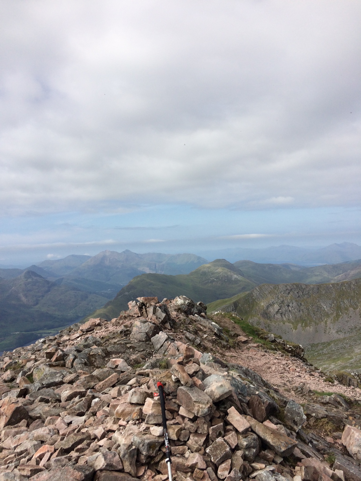
Looking back to what's achieved
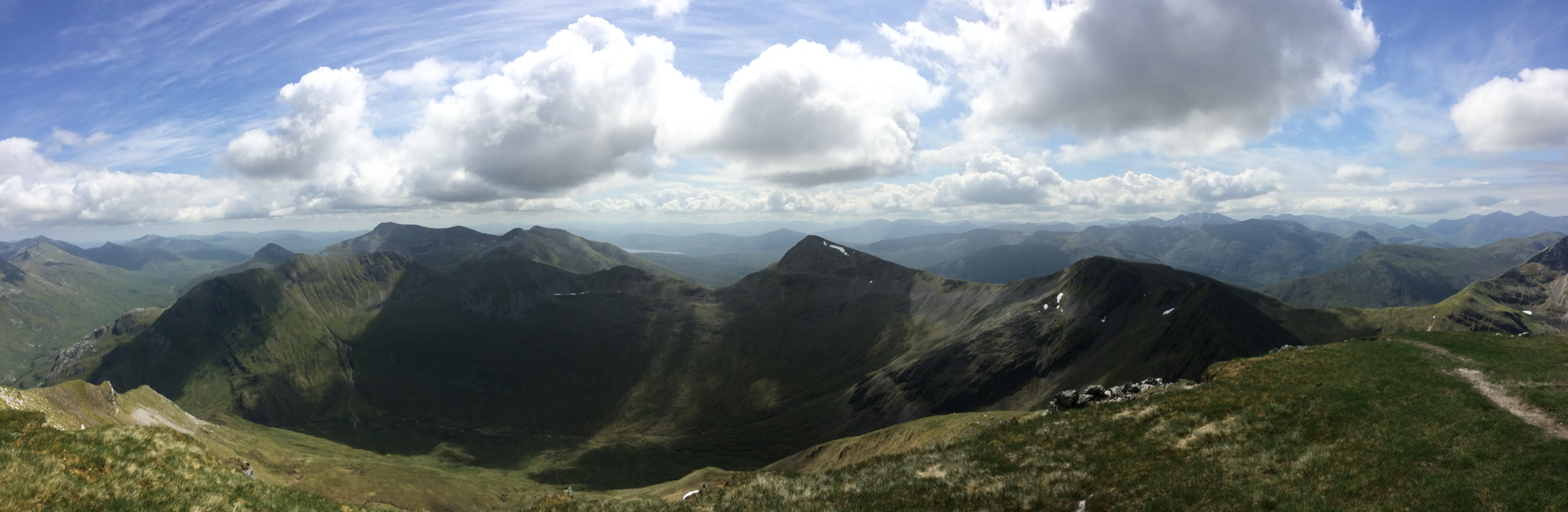
Warped pano
Relentless scree
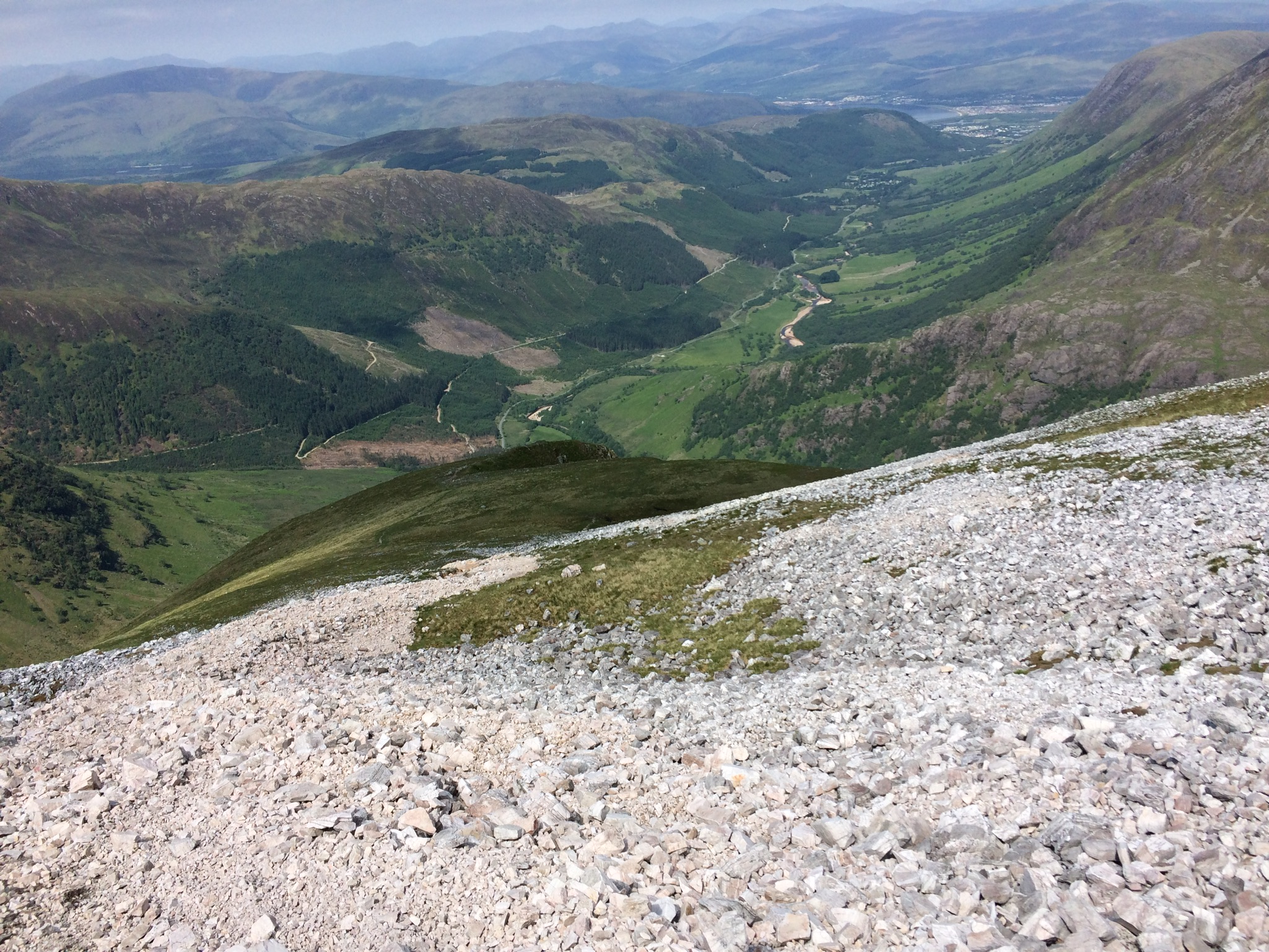
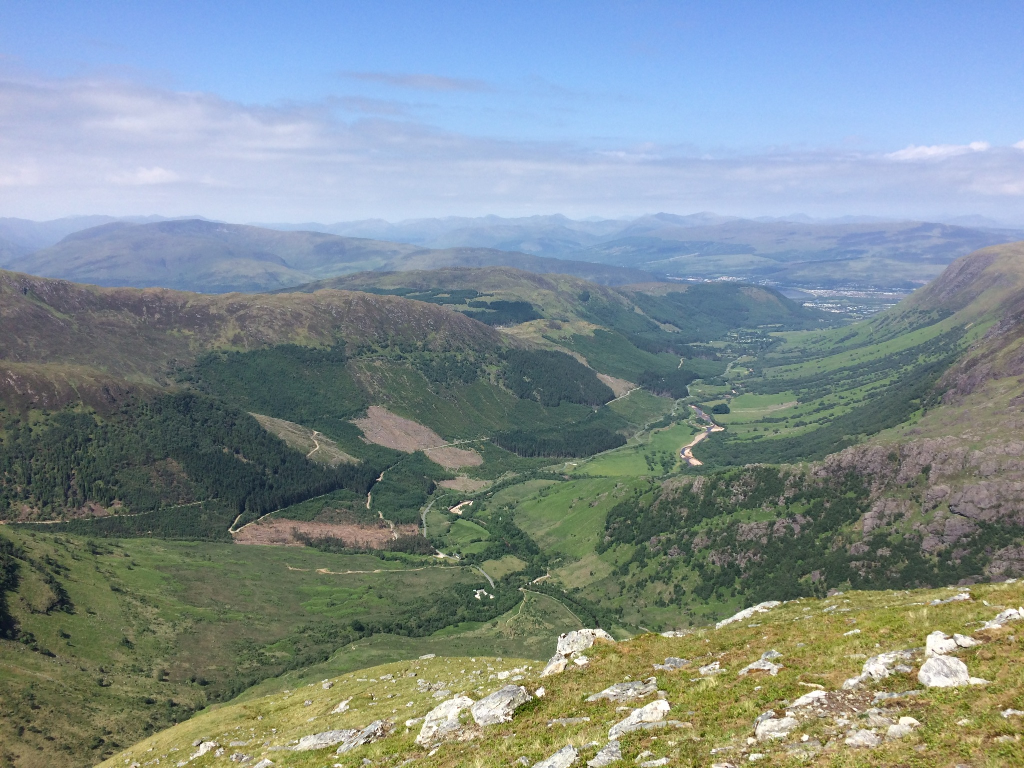
Glen Nevis still lush
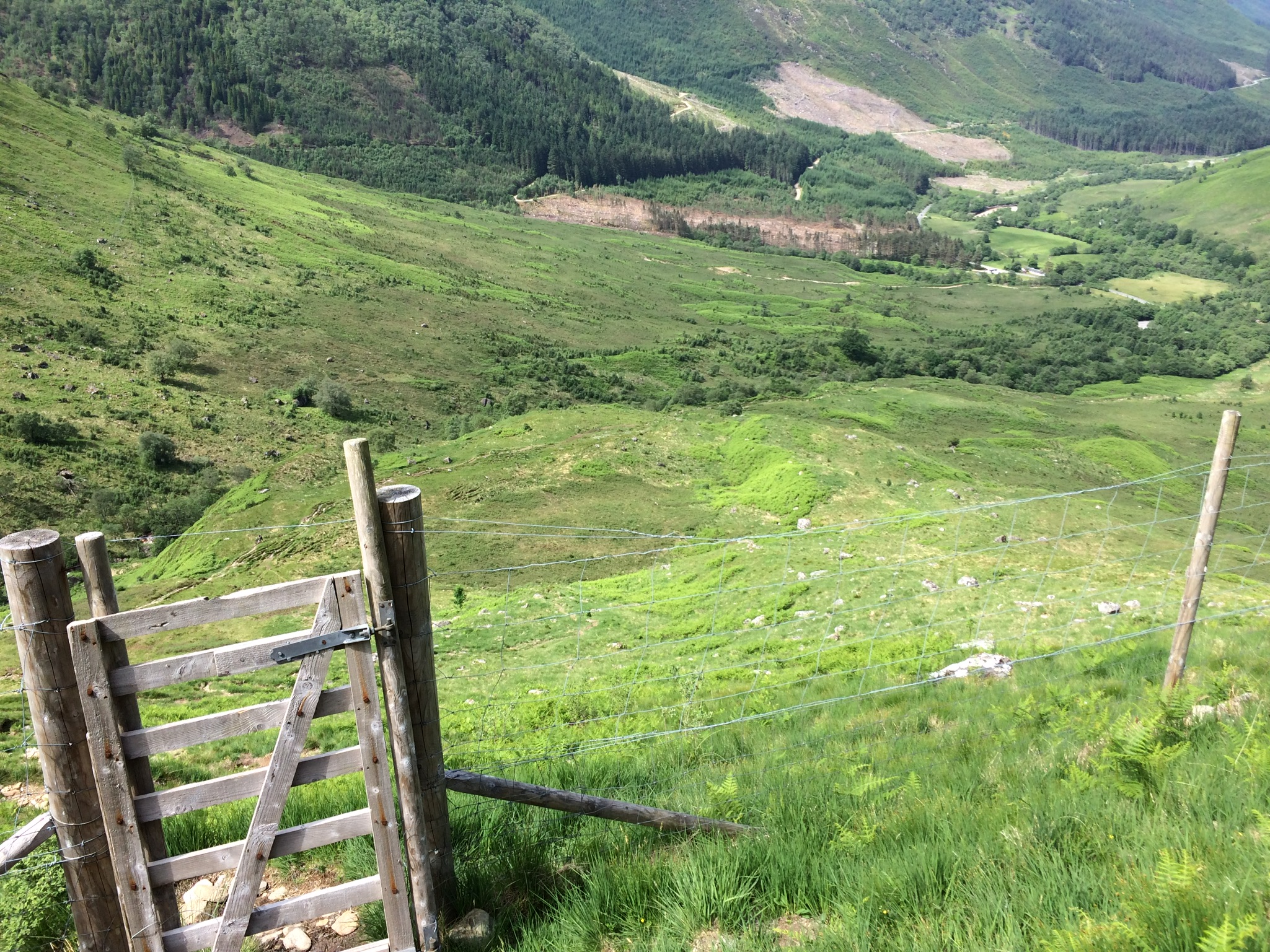
Fence. Thereafter pursued by bigger flies, then midge to car
Good time, overestimated. Traverse of the 6 very possible that day
 Summary:
Left already packed car park about 0630 in midge headnet. Had to keep moving. Breeze once gained height kept them at bay, but loitering at summits brought them on again. That along with loud Americans (one of two groups seen on ridge, the other a man and dog) having a loud conversation on a silent ridge spurred me on to make good time. Narrow sections not a problem but it was dry and not windy. Bypass of Devil's Ridge safe. No water but snow patches still present, though not required. Long walk back to even more rammed car park for 1400. Strong sun out by now, mid-high 20s. Back at car, air con on and windows up until boots off and driving down glen, away from crowds of people and midges.
