free to be able to rate and comment on reports (as well as access 1:25000 mapping).
Arrived at the smaller of the two car parks on the A82 and was ready to go at 06.45 .
There was a cold wind blowing down through the glen so it was on with the jacket, hat and gloves.
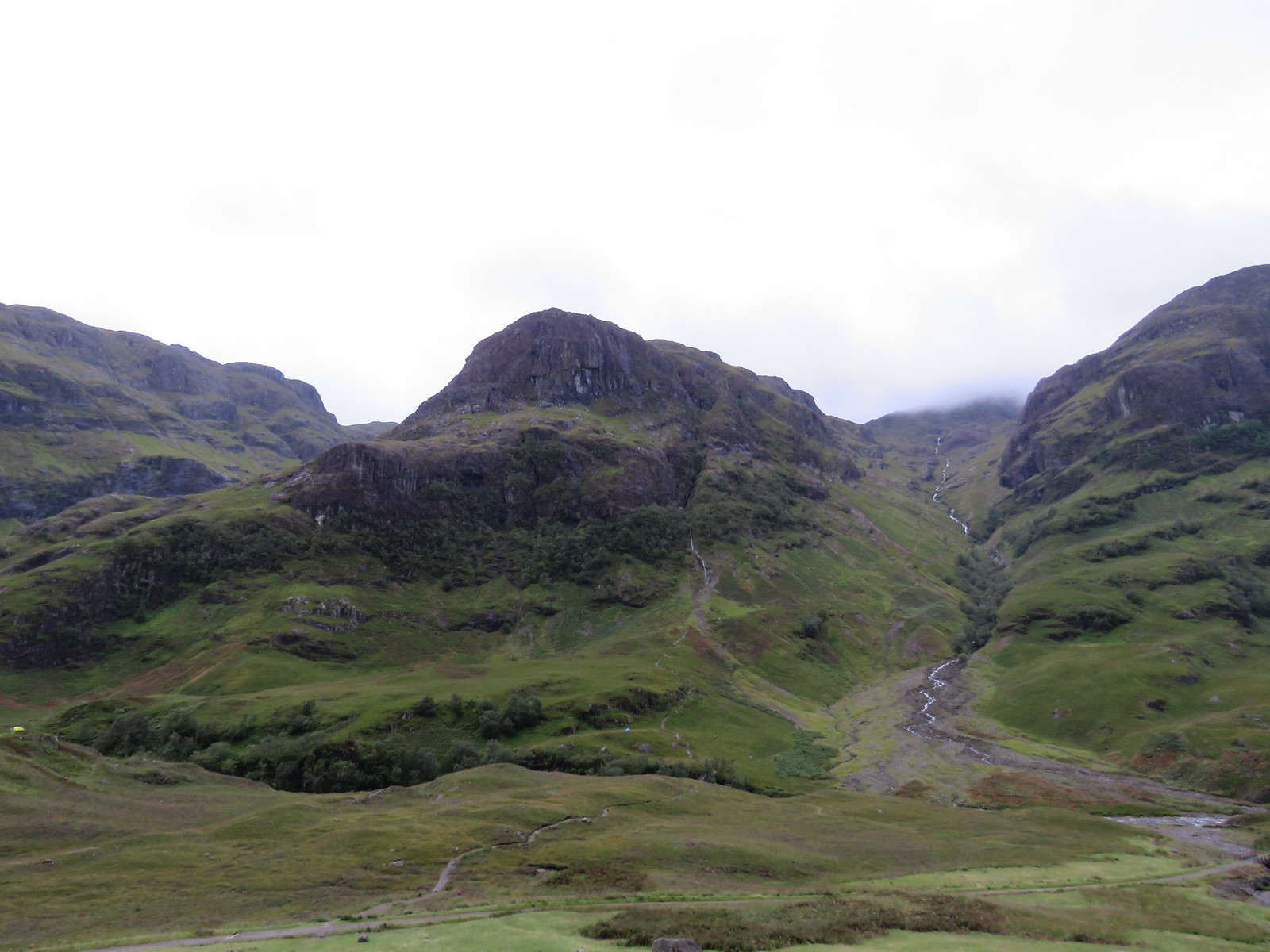
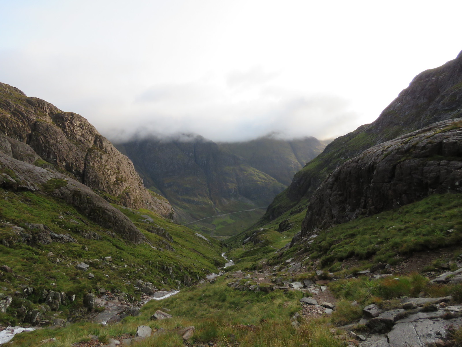
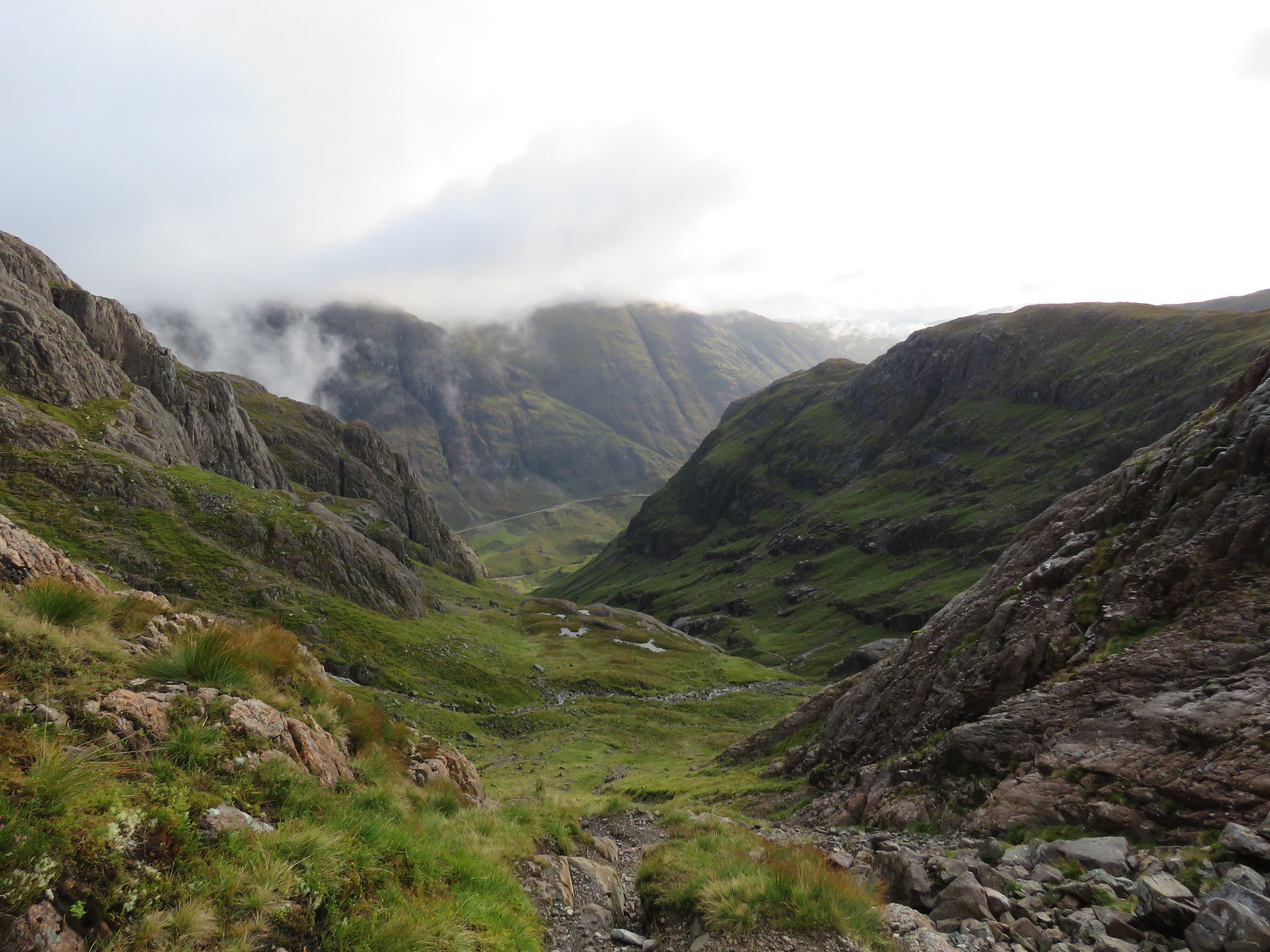
The views across to the Three Sisters were wonderful, even on such a cold, damp and cloudy morning.
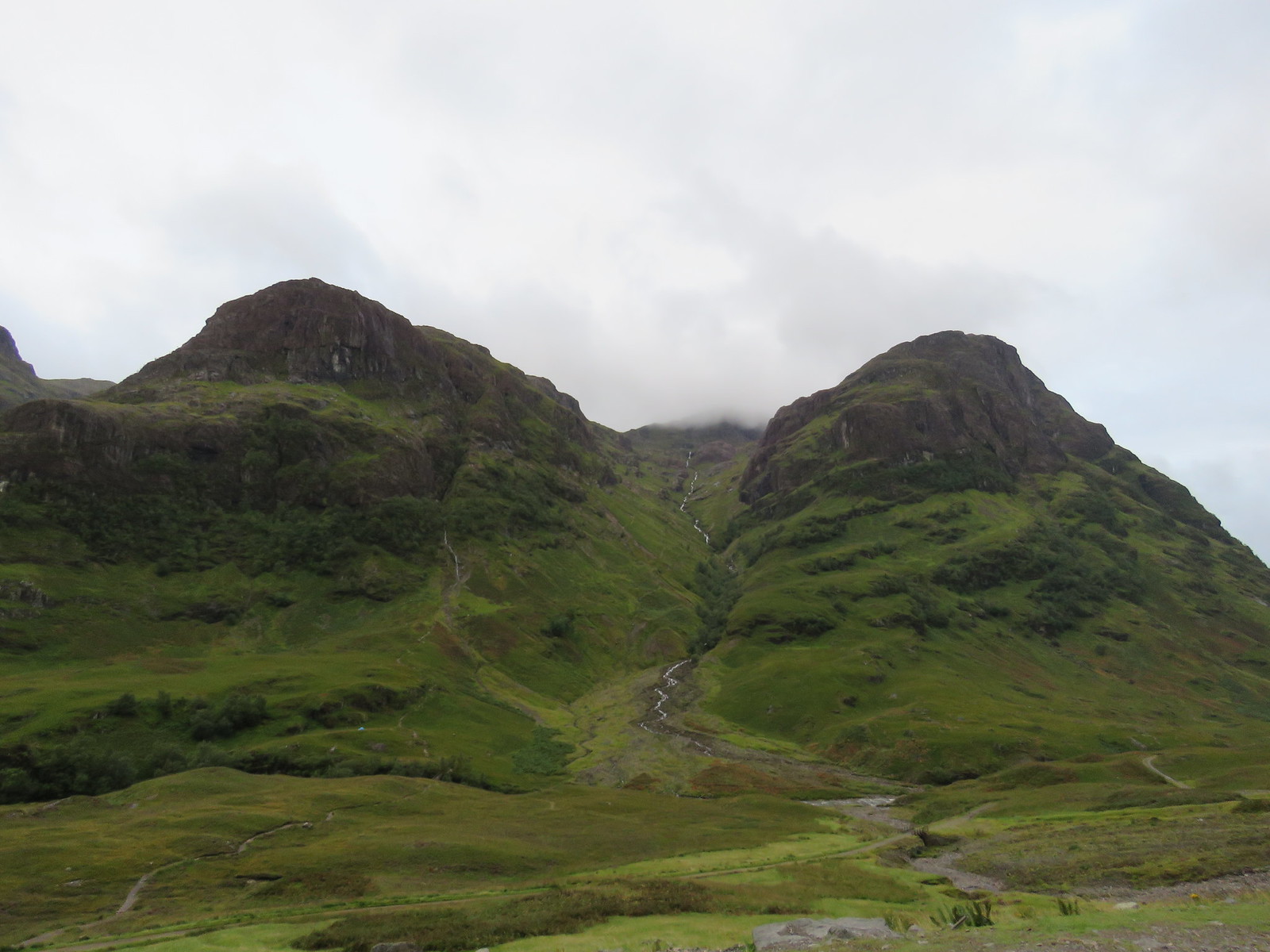
 Gearr Aonach
 by
robert irvine, on Flickr
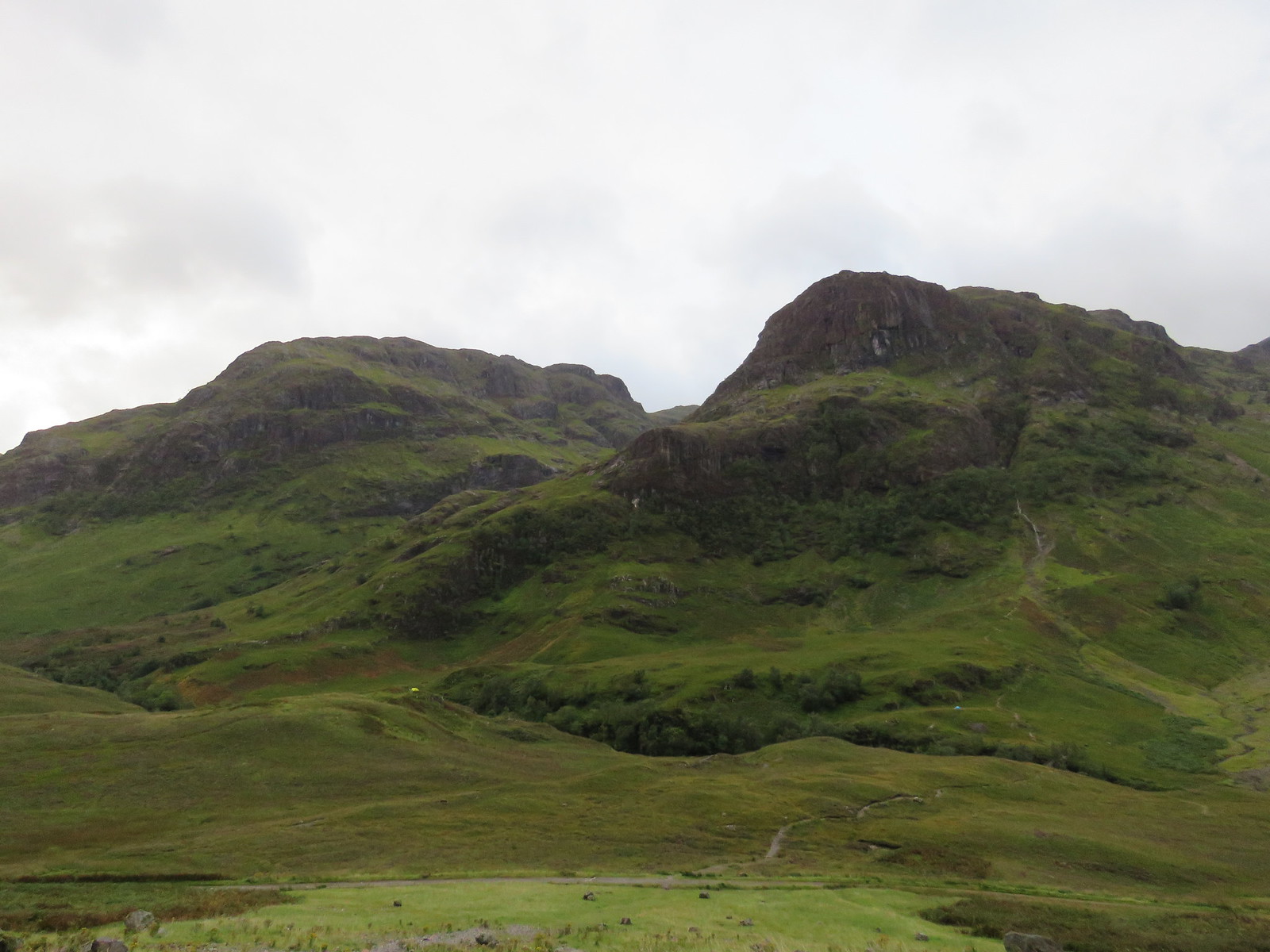 Beinn Fhada left Gearr Aonach right
 by
robert irvine, on Flickr
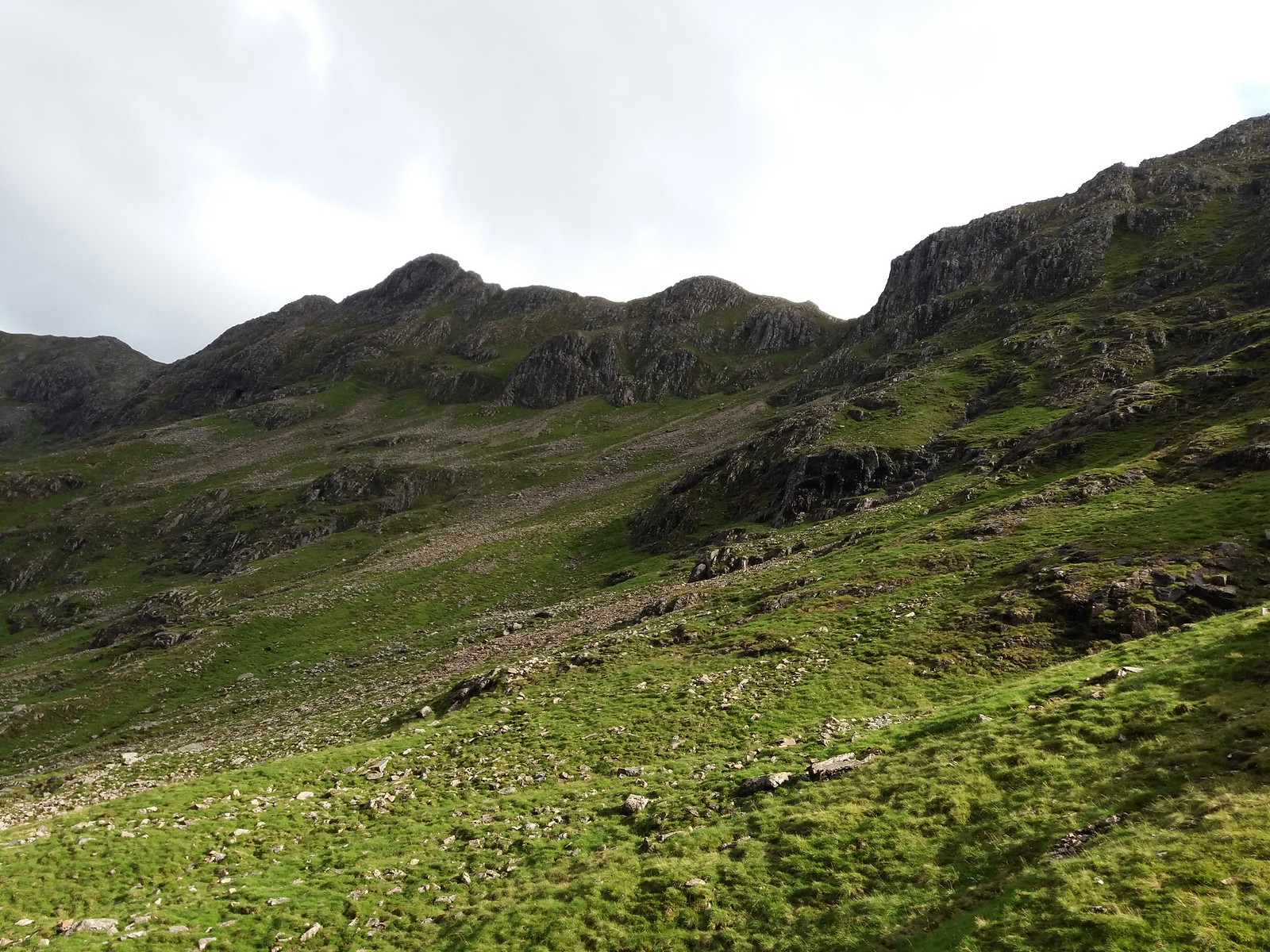
 Gearr Aonach left, Aonach Dubh right, Coire nan Lochan middle
 by
robert irvine, on Flickr
Walking down from the car park, you could see the ascent path winding it's way up Coire nan Lochan.
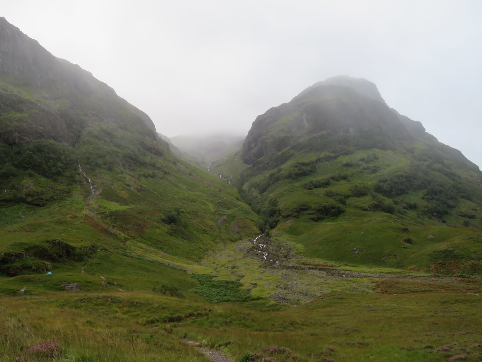 Ascent path up Coire nan Lochan
 by
robert irvine, on Flickr
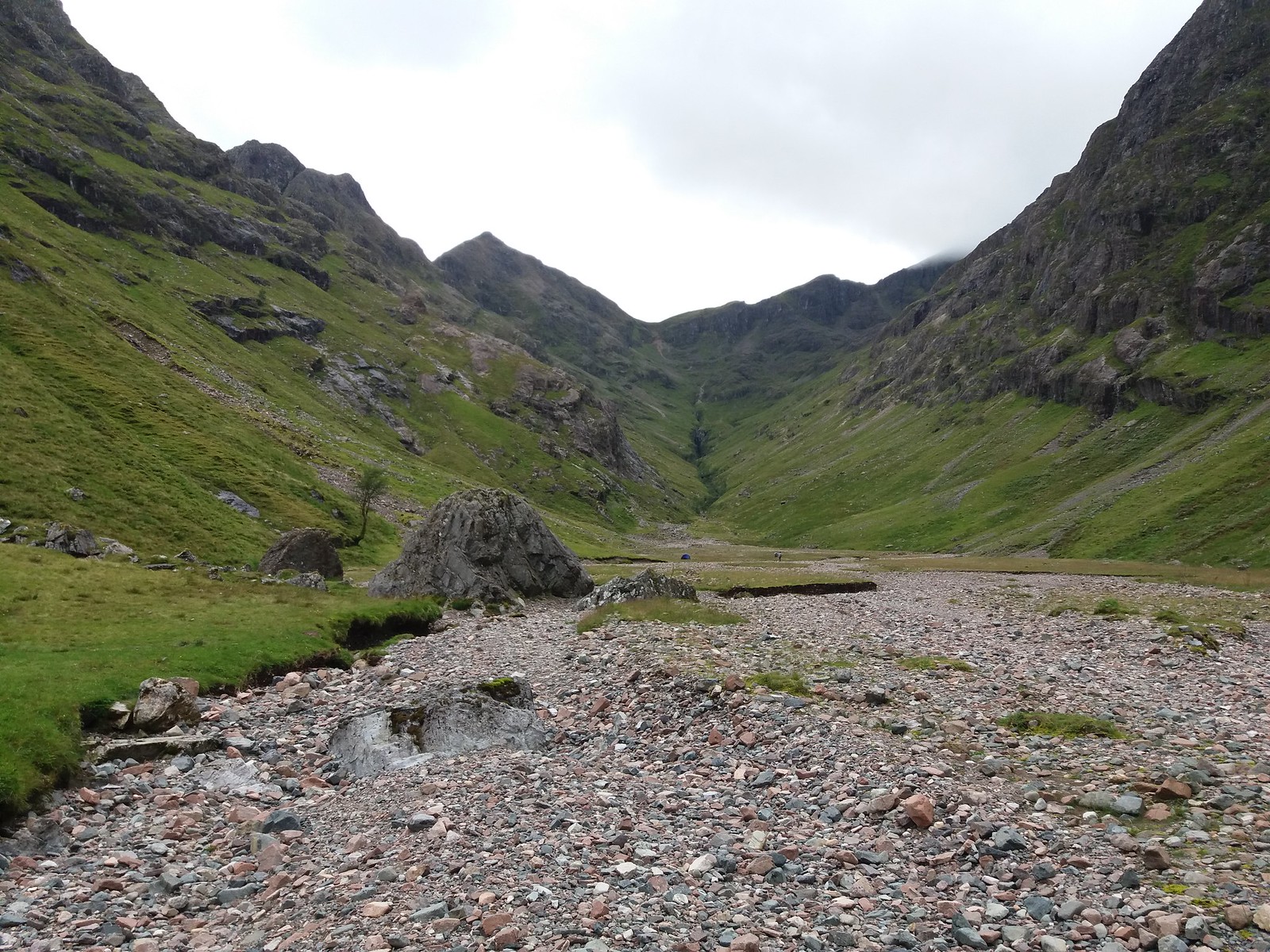
The River Coe is crossed on a footbridge here.
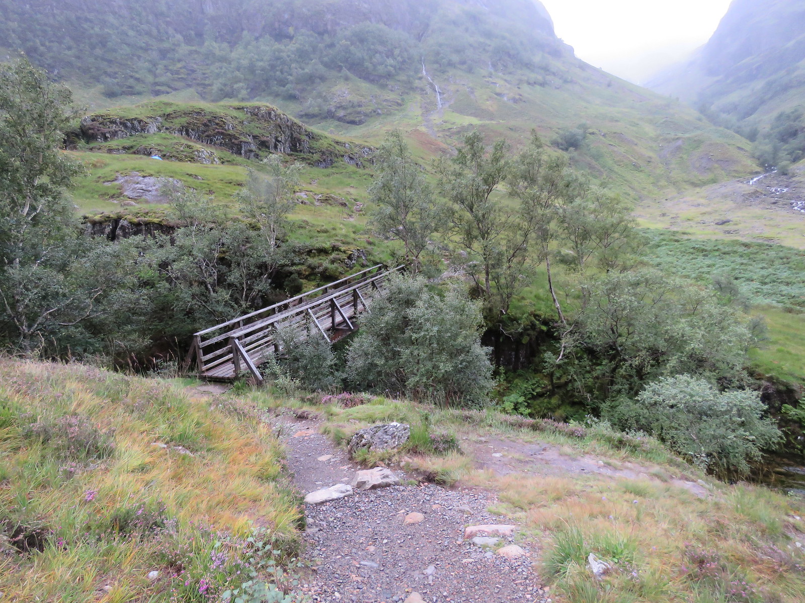 Footbridge over River Coe
 by
robert irvine, on Flickr
The weather coming down the glen was looking a little bit wet.
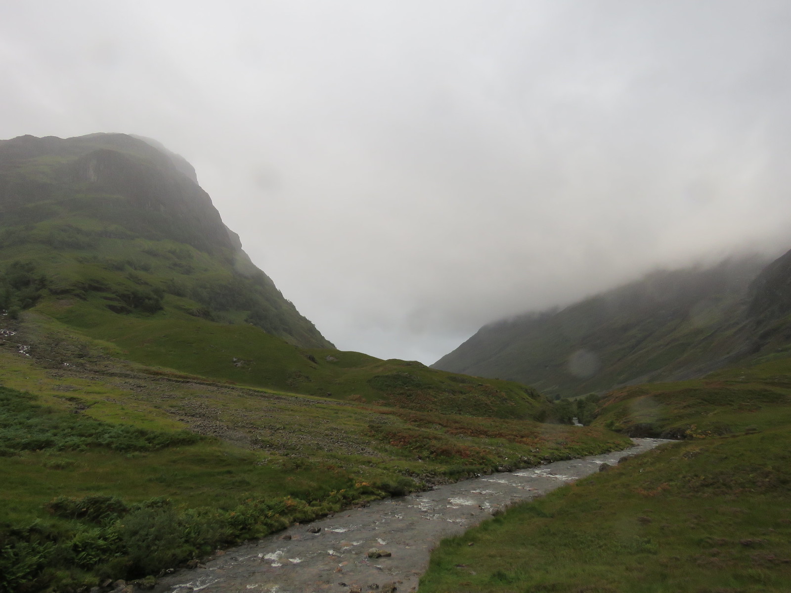 Rain sweeping down Glencoe
 by
robert irvine, on Flickr
Passed a couple of tents pitched on a scenic spot.
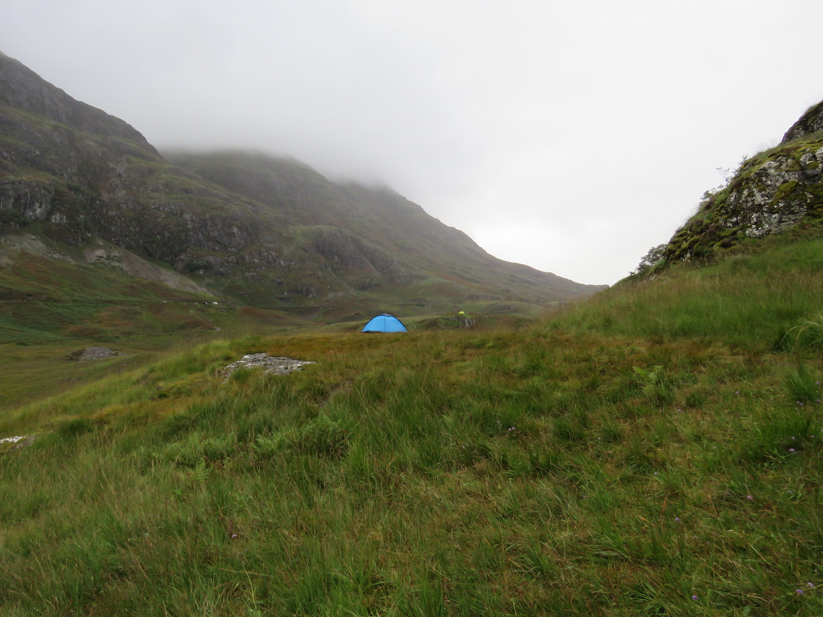 Tent pitch with lovely outlook
 by
robert irvine, on Flickr
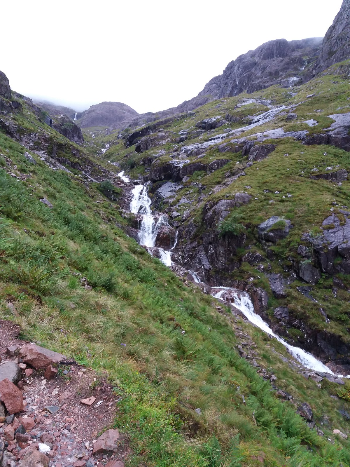
The path up the Coire is well constructed with only a couple of tricky bits, nothing too difficult.
The rain was really thumping down now with a cold wind blowing.
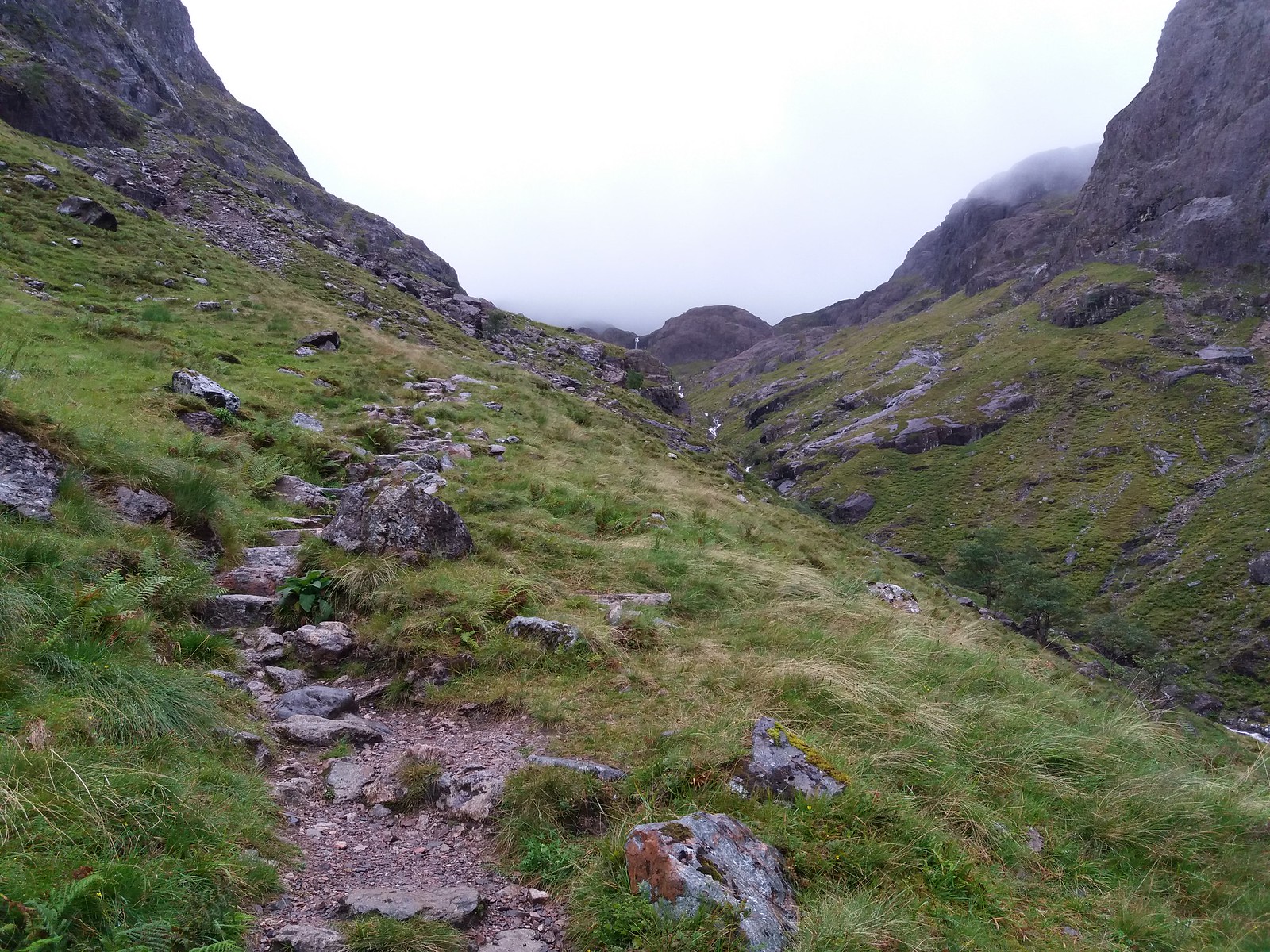 Path up Coire nan Lochan
 by
robert irvine, on Flickr
Looking back down, the clouds were whipping along the Aonach Eagach at a furious rate of knots.
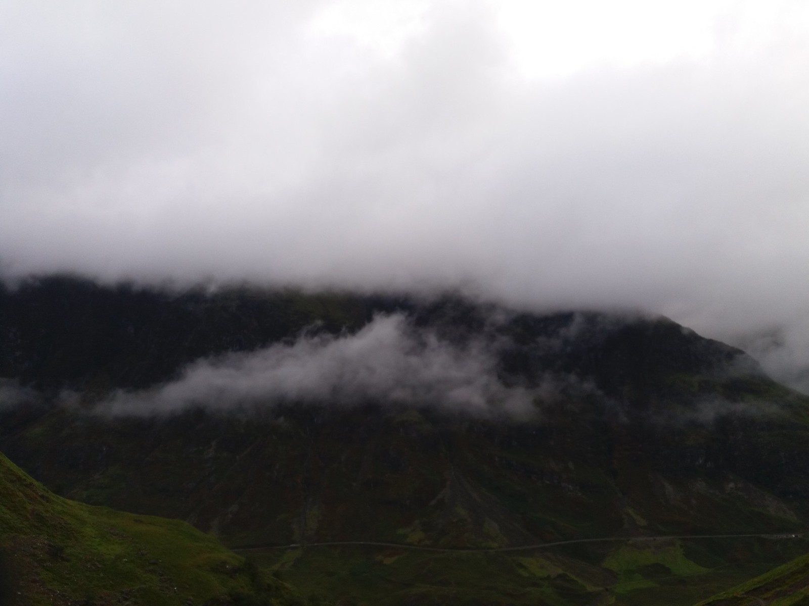 Angry looking Aonach Eagach
 by
robert irvine, on Flickr
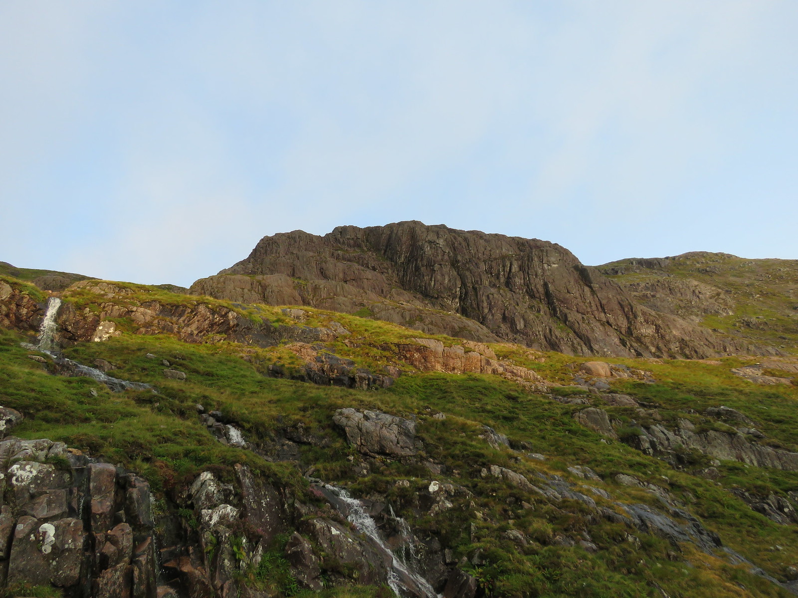
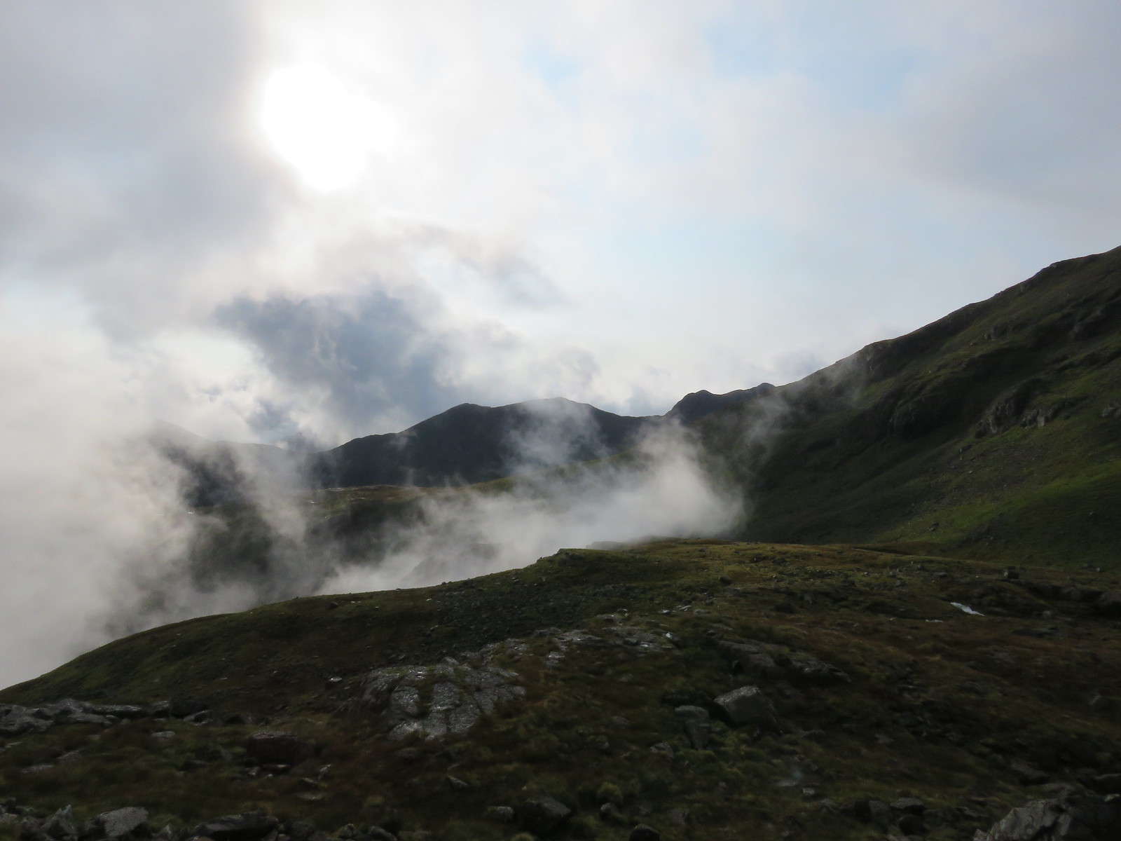
Further up the Coire, the rain began to lessen and there were even glimpses of the sun peeping through the clouds, still a nippy wind though.
 Coire nan Lochan
 by
robert irvine, on Flickr
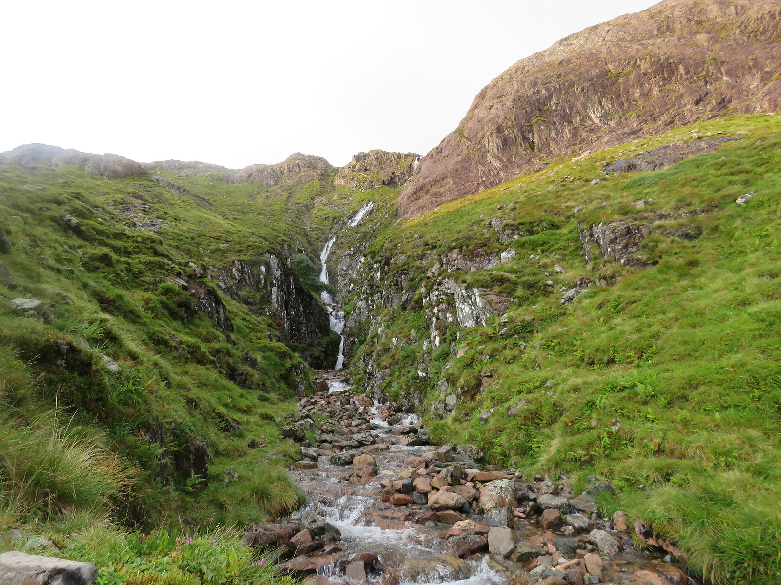
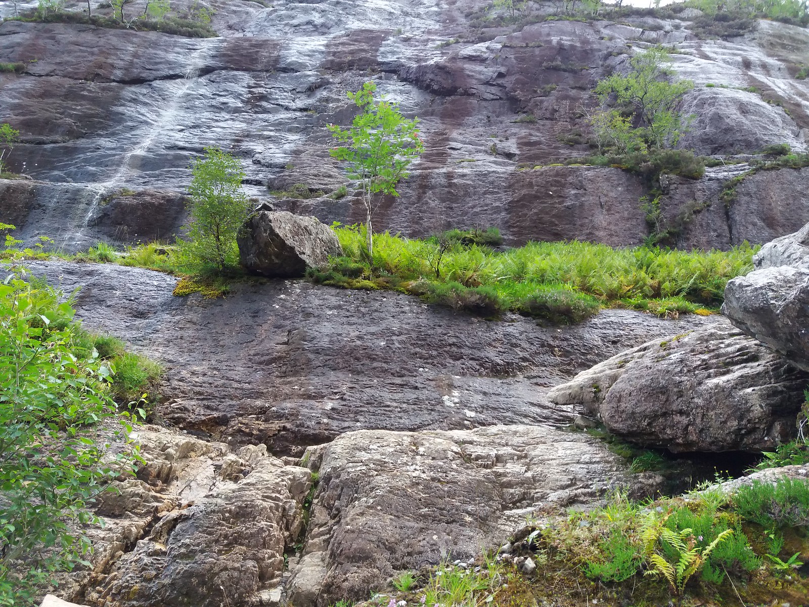
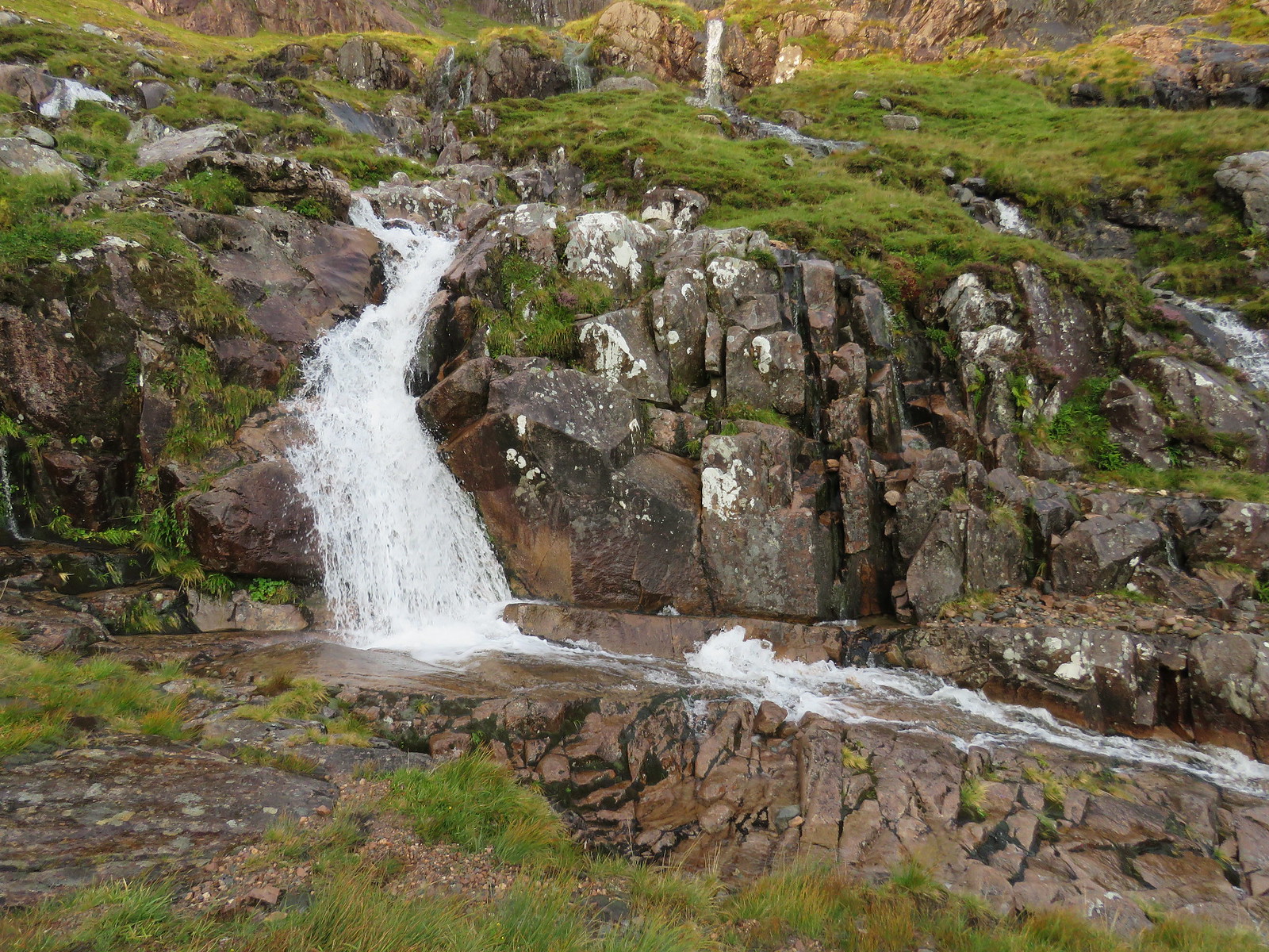 Lovely waterfalls
 by
robert irvine, on Flickr
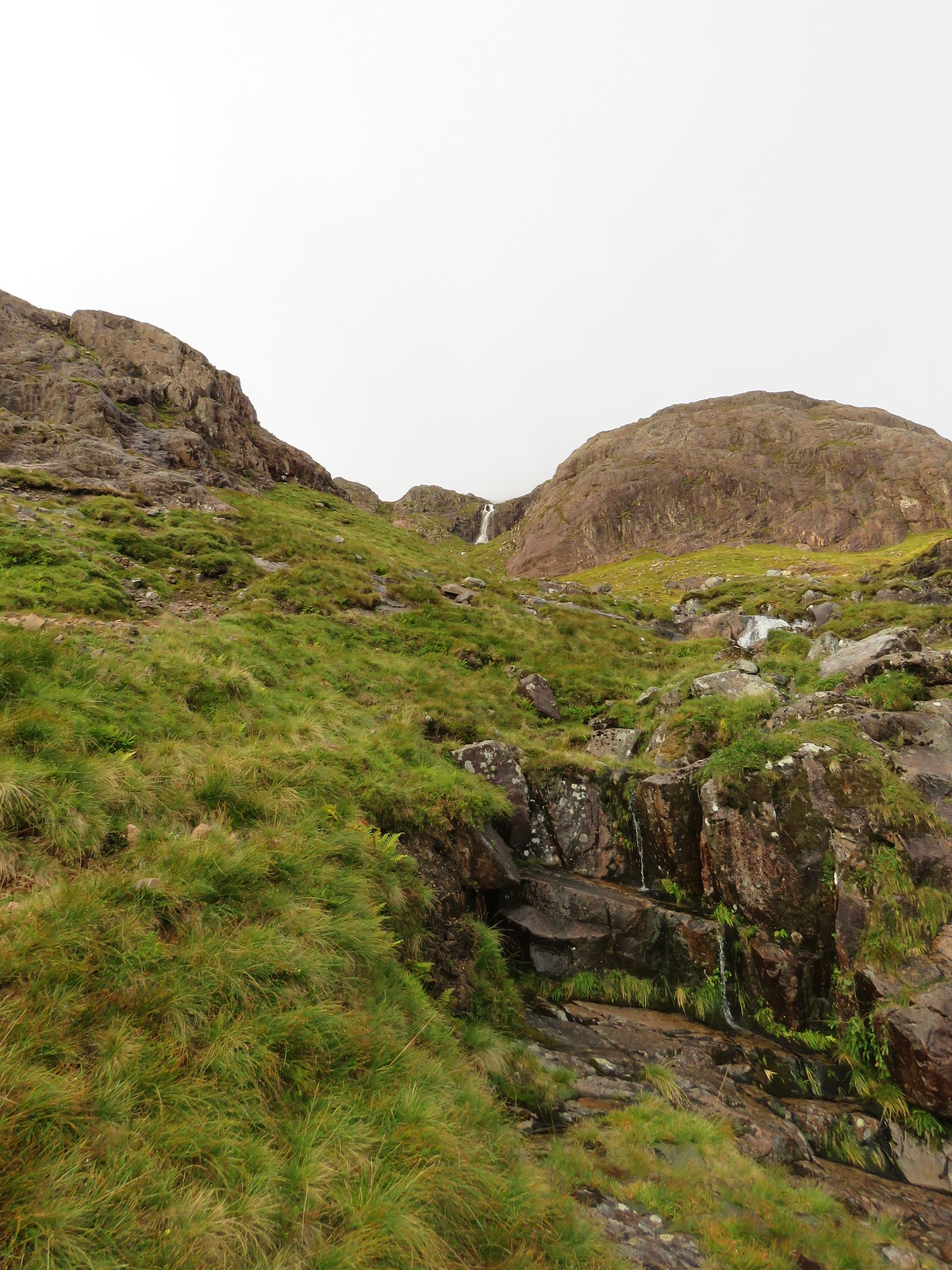 View up to top of Coire nan Lochan
 by
robert irvine, on Flickr
 View back down
 by
robert irvine, on Flickr
 Bit of sun on ridge
 by
robert irvine, on Flickr
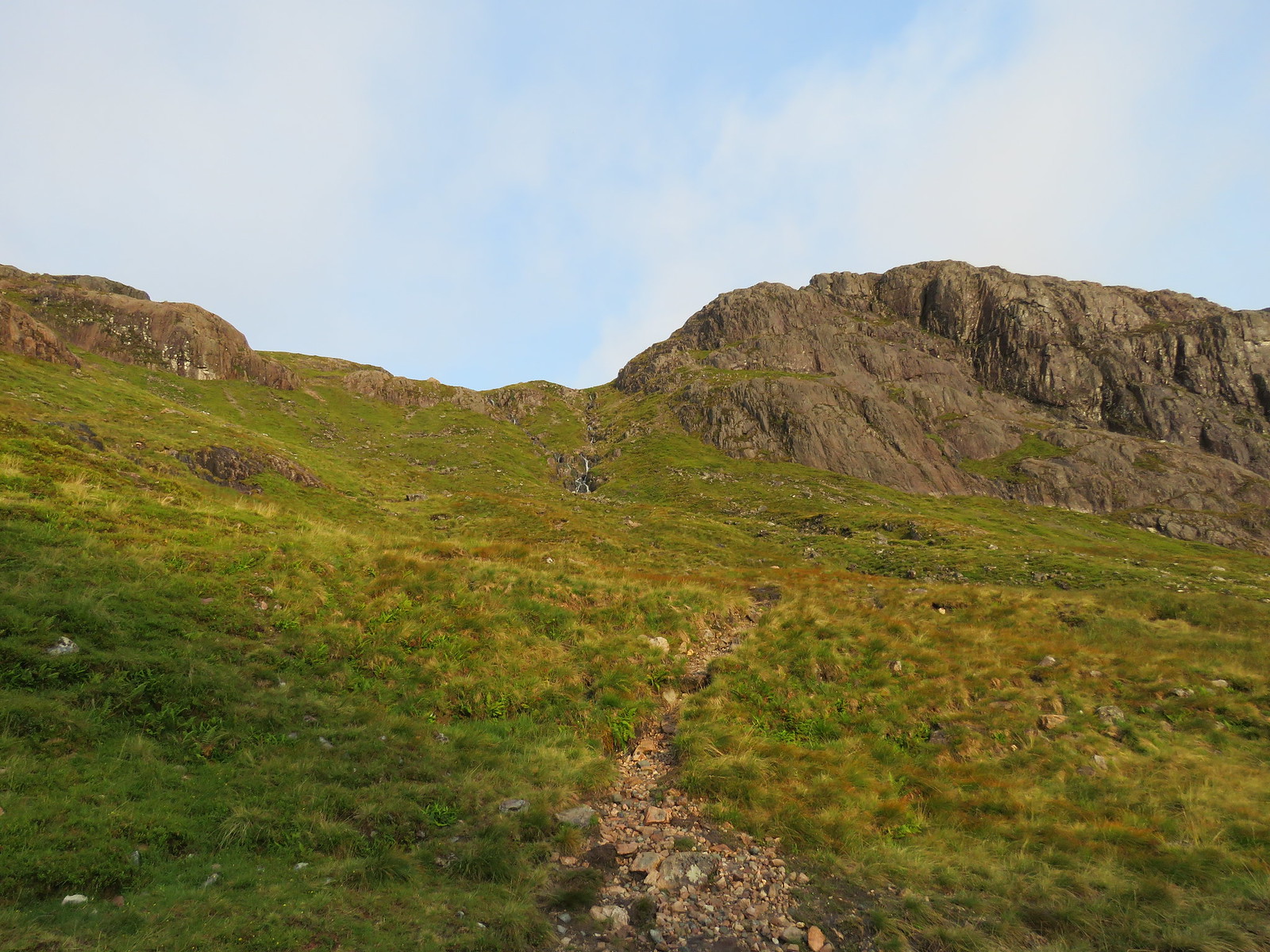
I was following the W.H. route and as instructed, I turned right just before the box waterfall, crossed the stream and quickly picked up traces of the path heading up to the ridge.
 Crossing over stream as you break right from path
 by
robert irvine, on Flickr
 Path up to ridge
 by
robert irvine, on Flickr
 Path further up
 by
robert irvine, on Flickr
 View back down (2)
 by
robert irvine, on Flickr
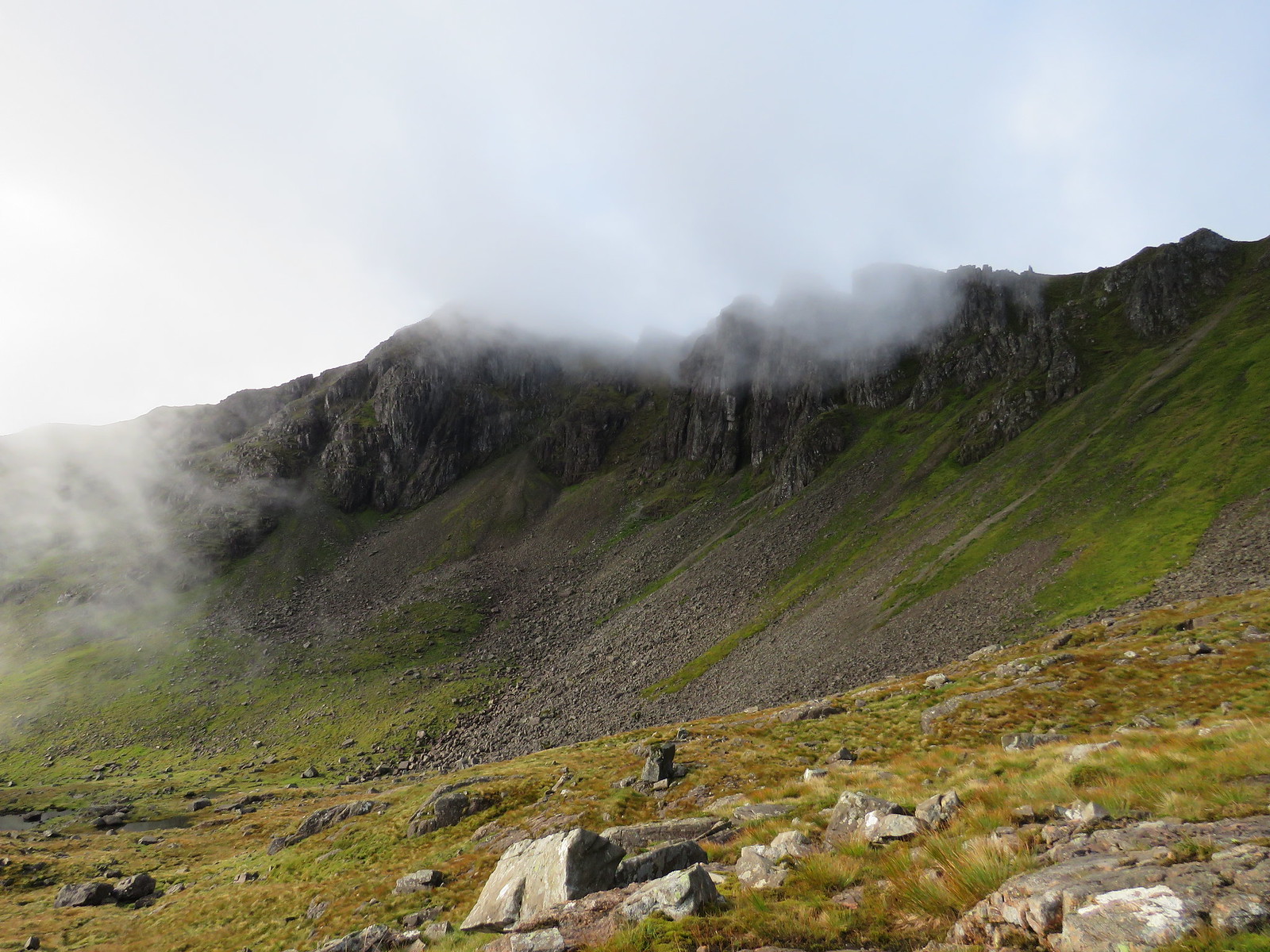
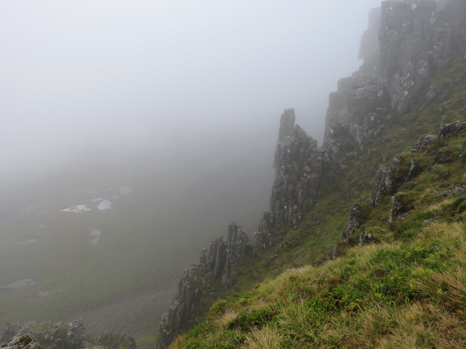
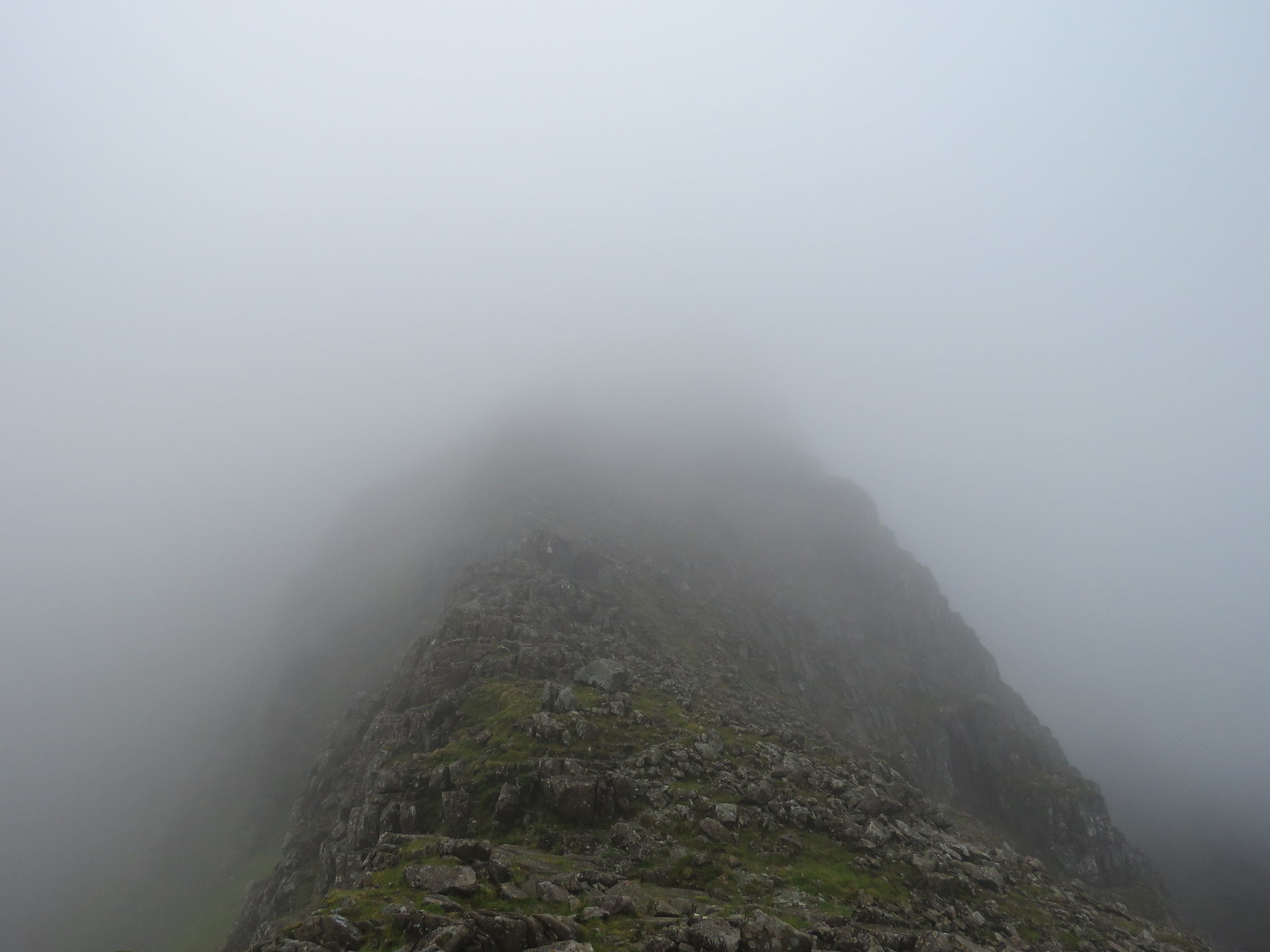
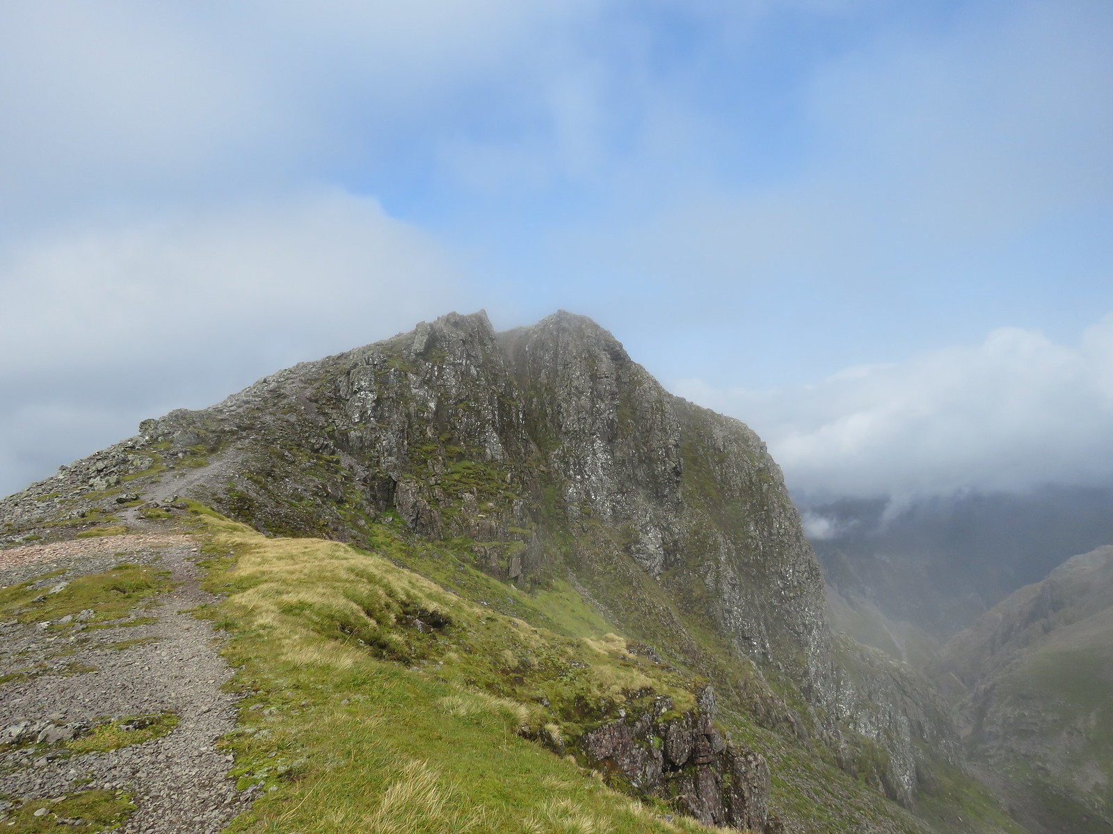
Before long, you get your first proper look at the famous buttresses, with the summit behind.
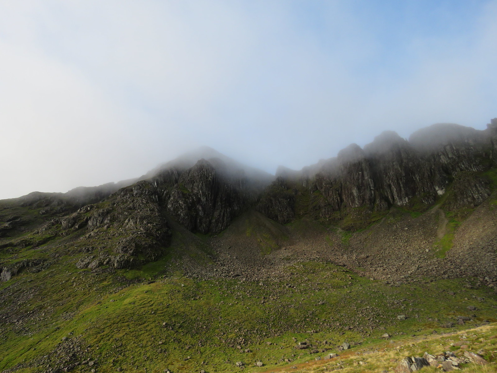 Butresses with a misty summit behind
 by
robert irvine, on Flickr
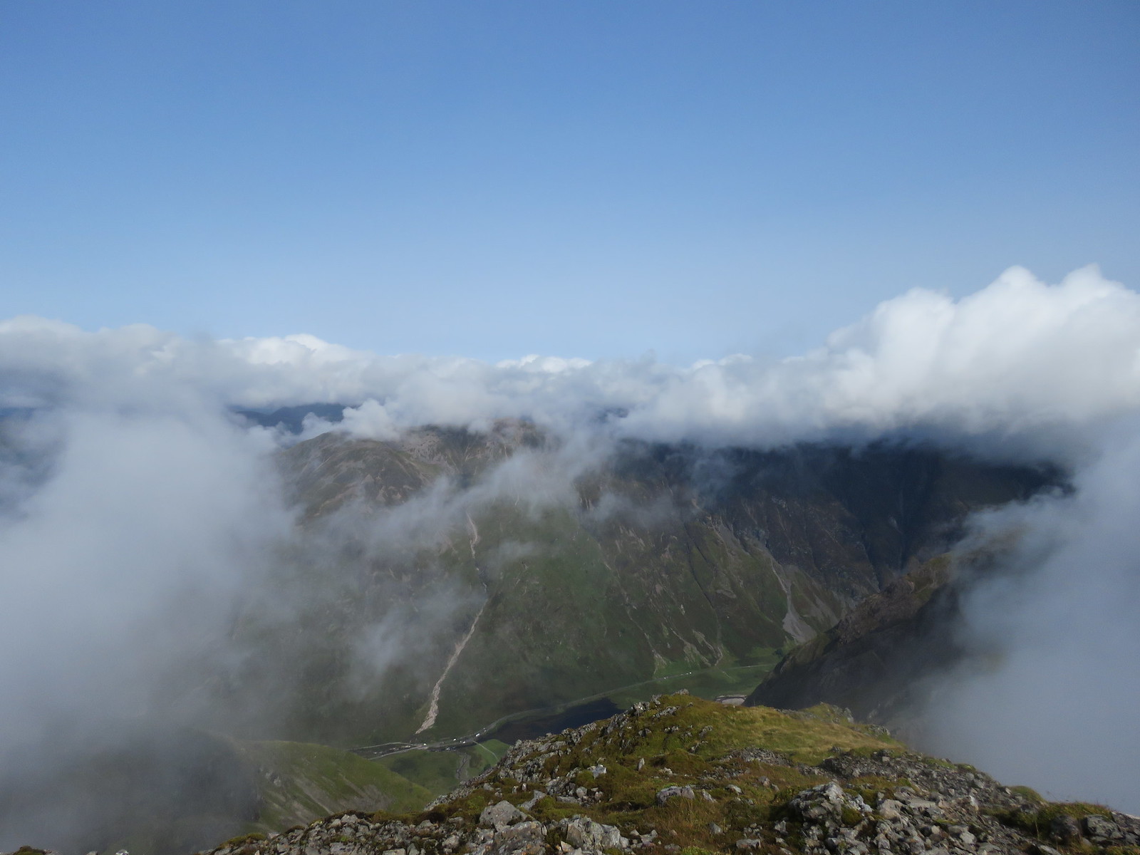
Unfortunately, the next bank of clouds was rolling up through the Coire.
 Cloud coming up the Coire
 by
robert irvine, on Flickr
 Summit and butresses, misty
 by
robert irvine, on Flickr
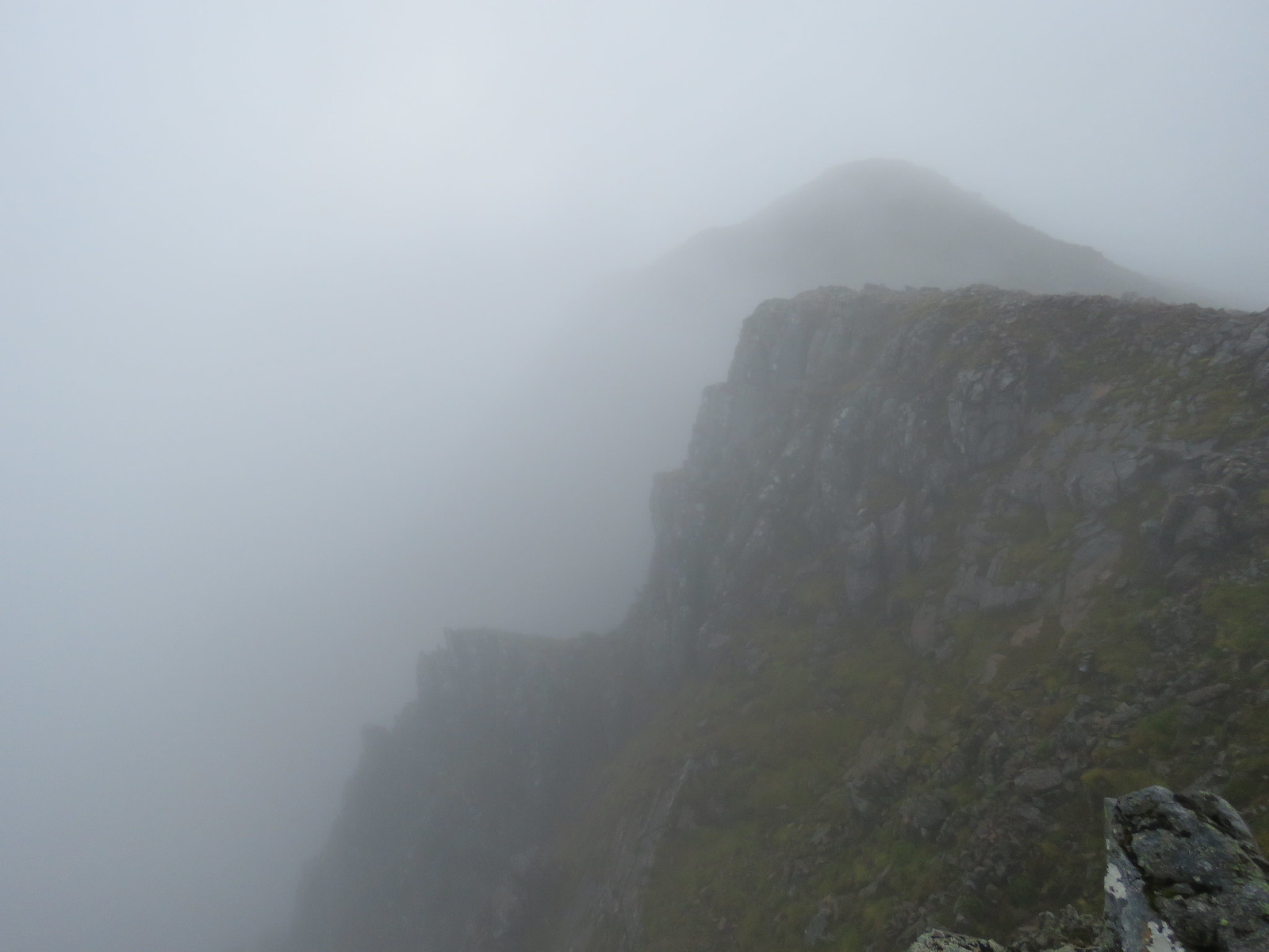
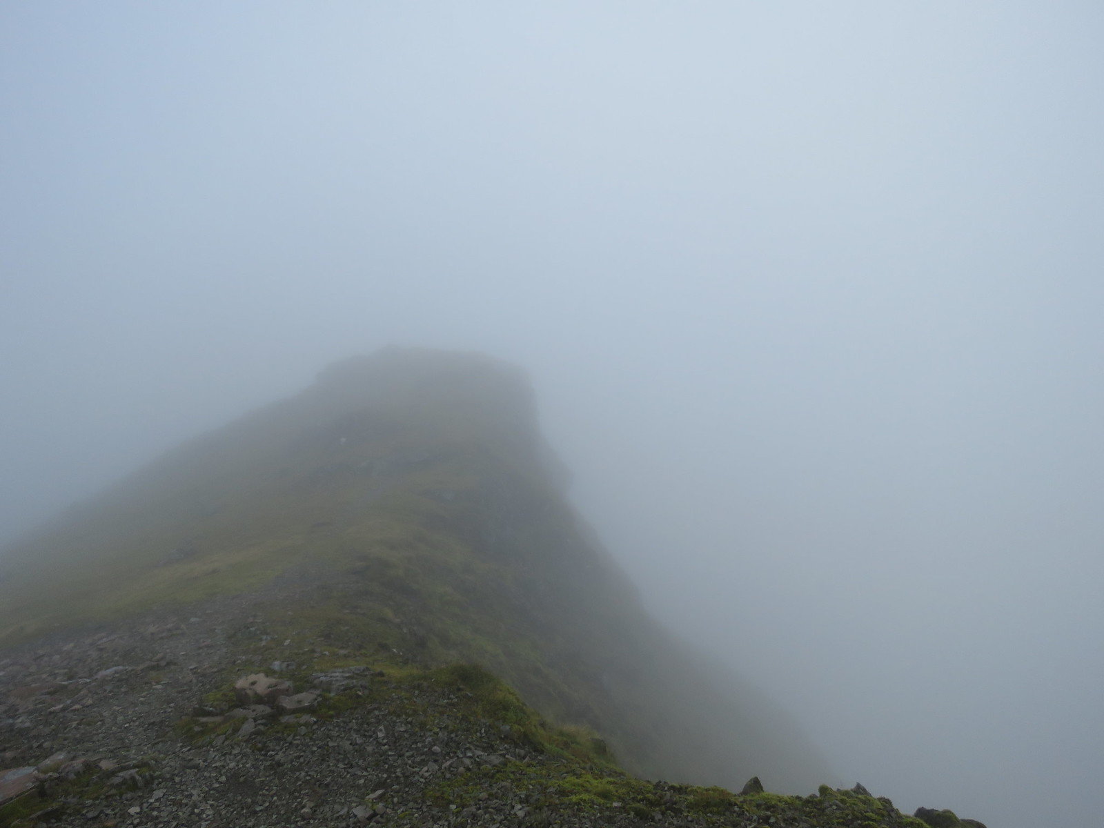
Once on the ridge proper, the weather really closed in.
Caught a fleeting glimpse of Glencoe village far below.
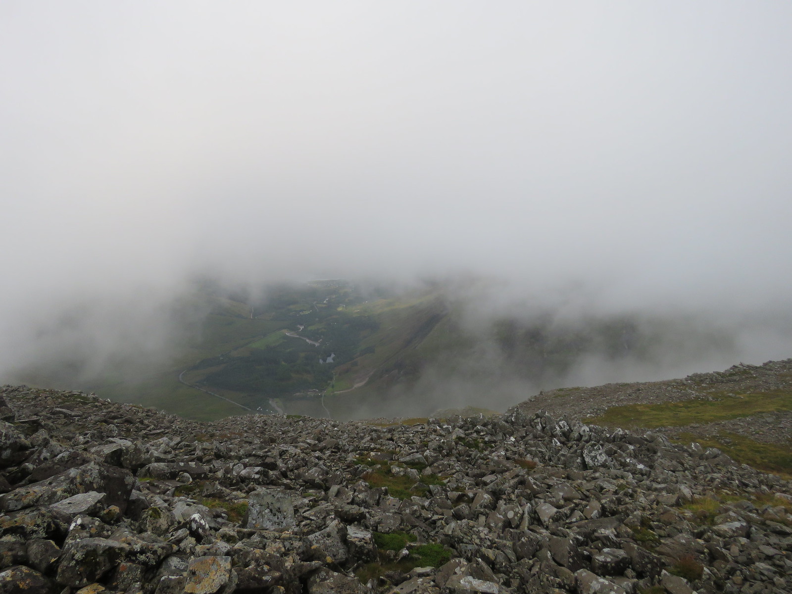 View from ridge down through clouds towards Glencoe
 by
robert irvine, on Flickr
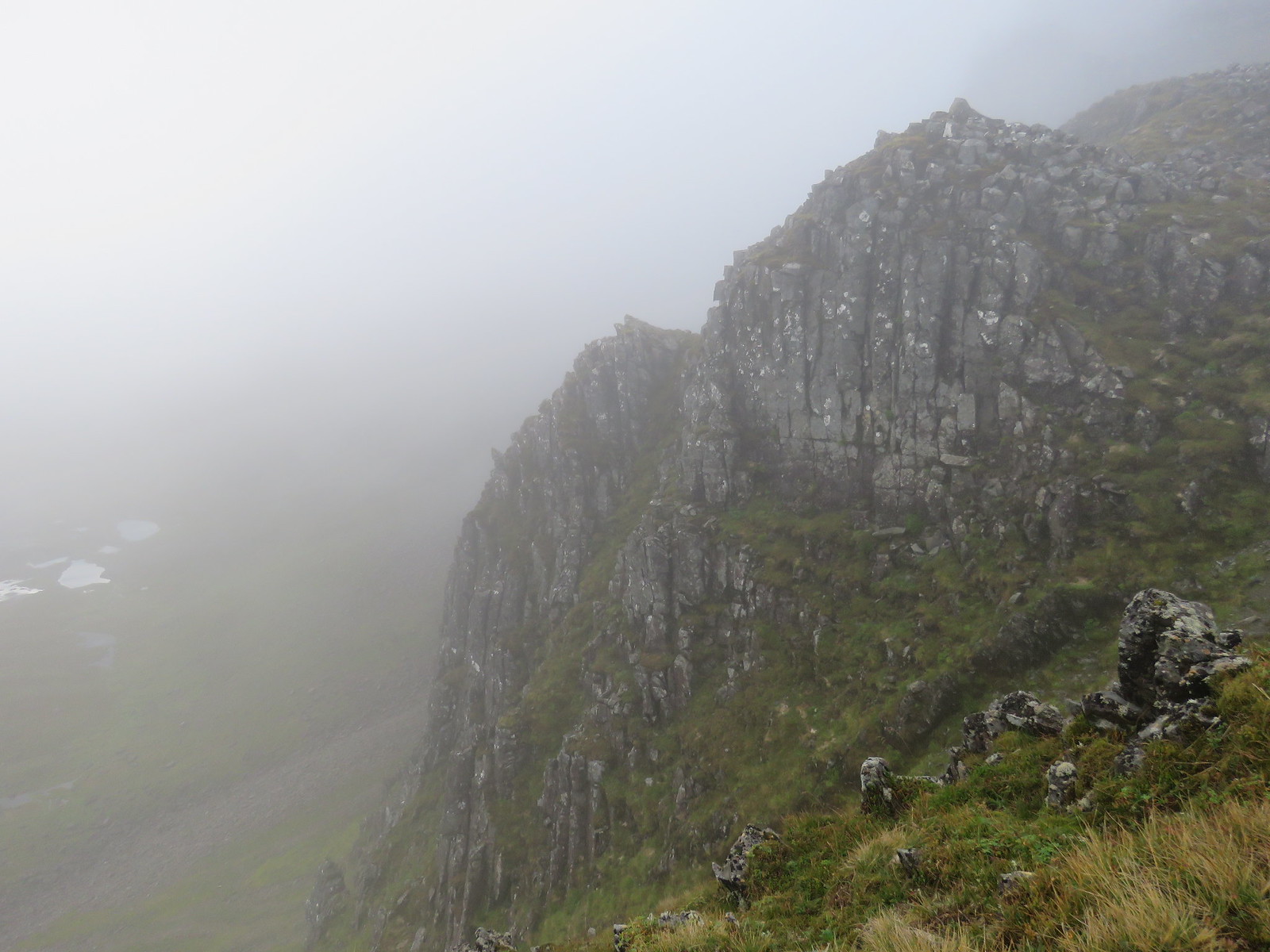
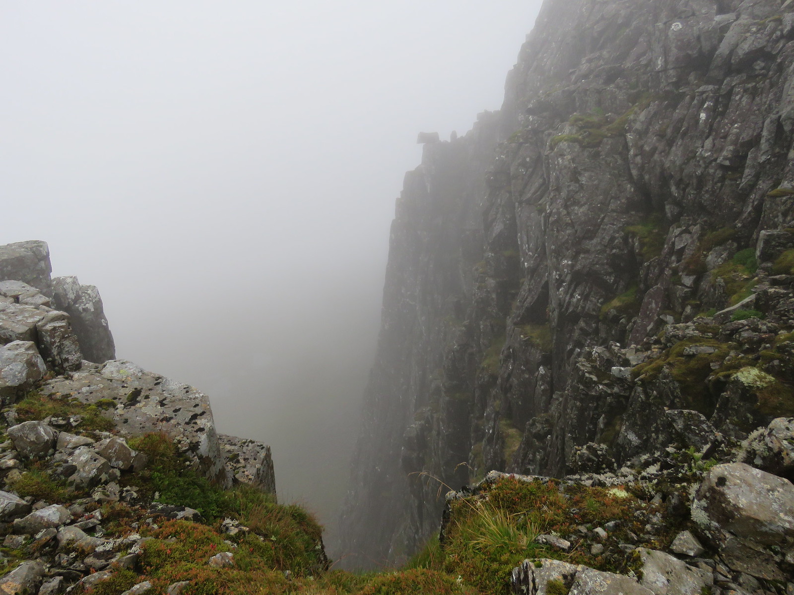
As noted in previous reports, the walk up past the buttresses is on a reasonably wide ridge and not as scary as the front view suggests.
The mist really added to the eerie atmosphere up here.
 Creepy or what
 by
robert irvine, on Flickr
 Is that a path down there, good luck
 by
robert irvine, on Flickr
 Fabulous
 by
robert irvine, on Flickr
 Balanced rock over big drop. Is that a ghost behind it
 by
robert irvine, on Flickr
 Summit through the clouds
 by
robert irvine, on Flickr
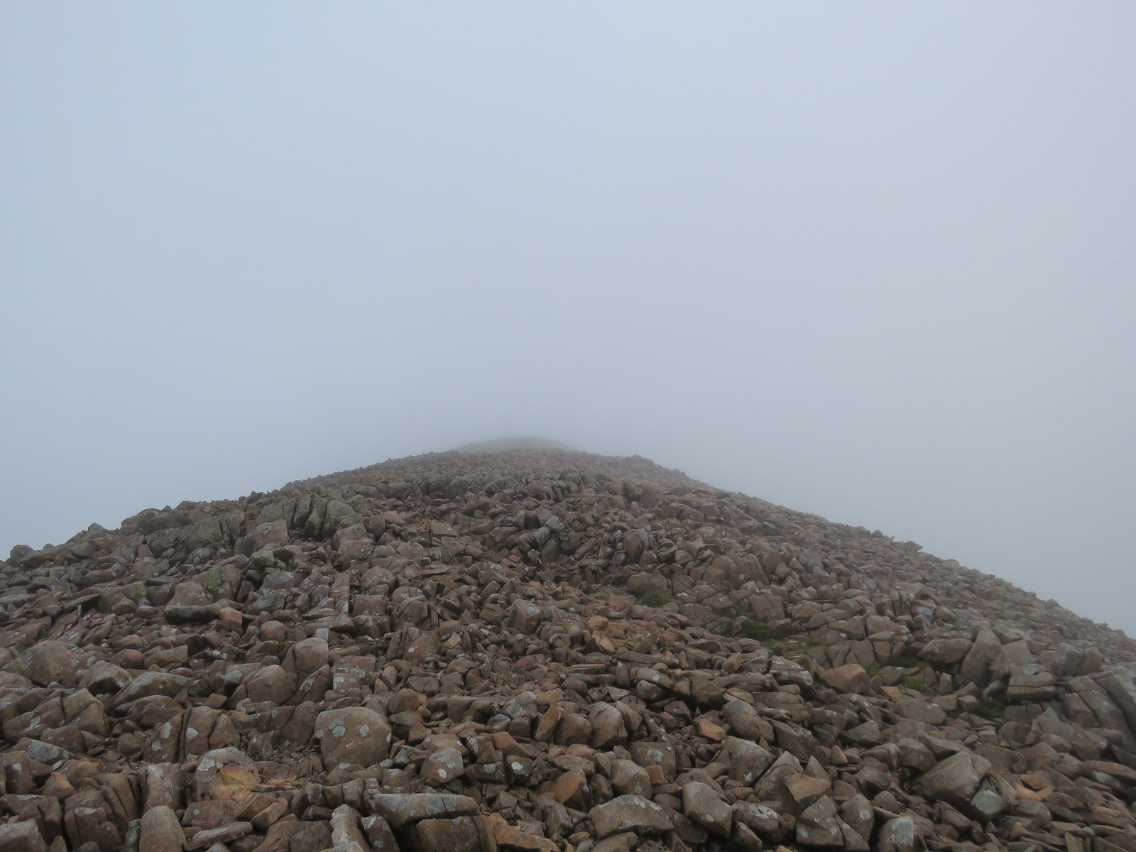
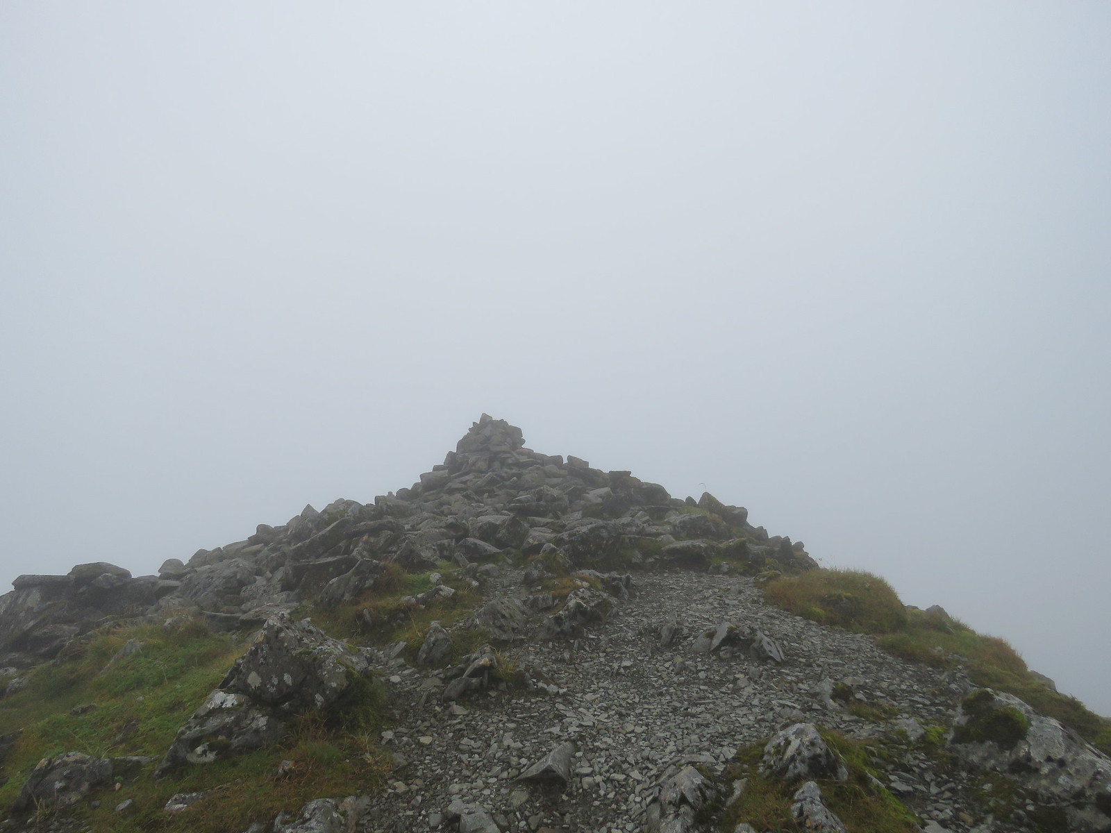
The final pull up to the summit is through a large boulder field. Just pick the easiest looking route and off you go. Bit of an ankle nipper, really cold wind at this stage.
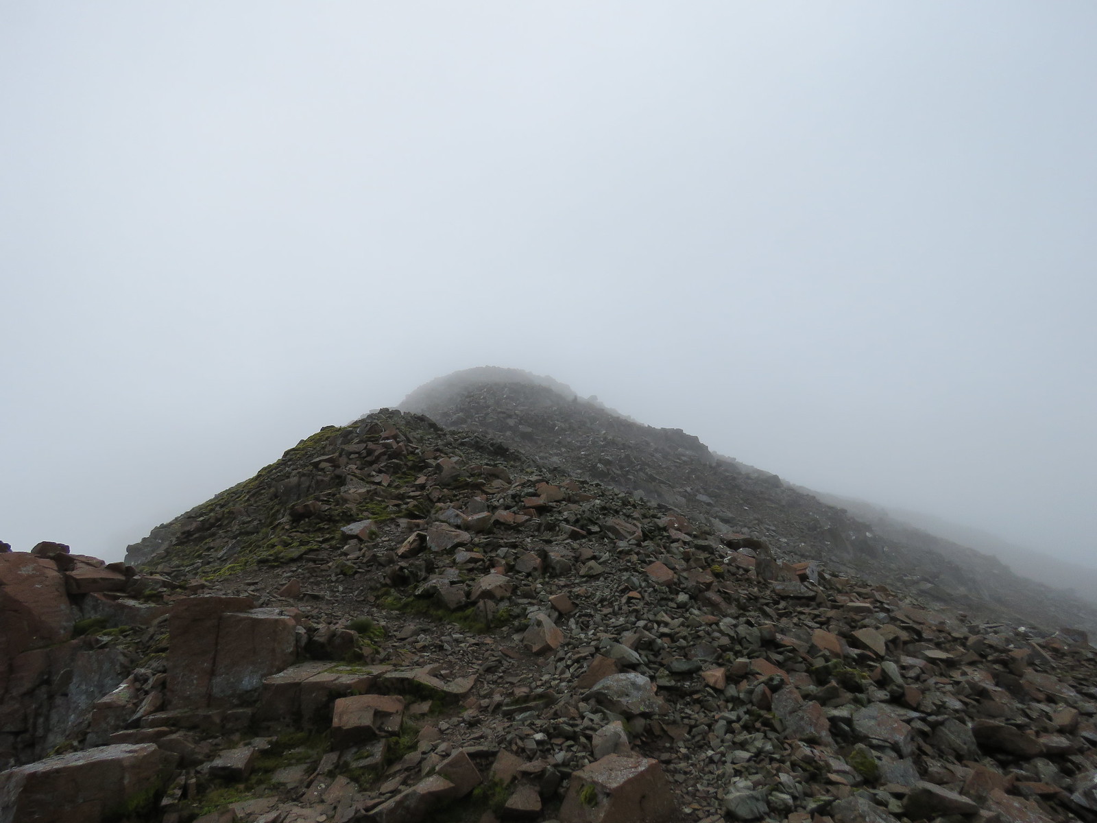 Boulder field up to summit
 by
robert irvine, on Flickr
It was a bit of a slog here, really glad to arrive at the summit where the wind dropped considerably. Lovely views of some clouds.
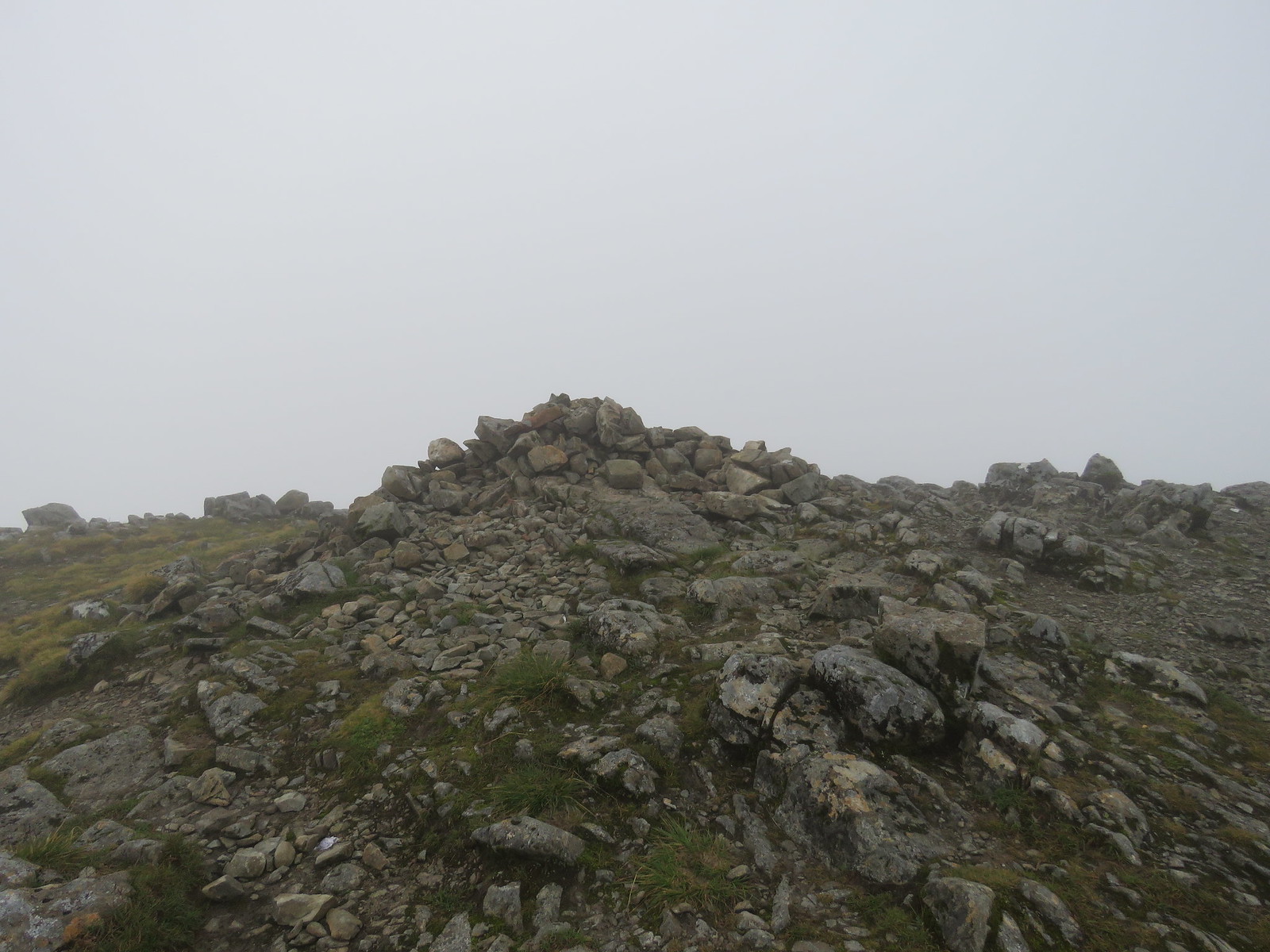 Stob Coir nan Lochan summit cairn
 by
robert irvine, on Flickr
Anyone who has viewed Wilkie Murray's recent post about his sentimental journey up here
https://www.walkhighlands.co.uk/Forum/viewtopic.php?f=9&t=83638 will be aware of his only choice of tent pitch at the summit.
 Wilkie Murrays tent pitch
 by
robert irvine, on Flickr
Was that a hint of the sun breaking through as I left the summit of Stob Coire nan Lochan
 Sun almost breaking through
 by
robert irvine, on Flickr
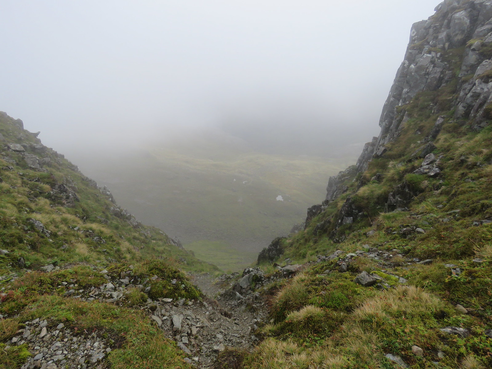
Down through another boulder field to the bealach.
 Summit from descent through boulder field
 by
robert irvine, on Flickr
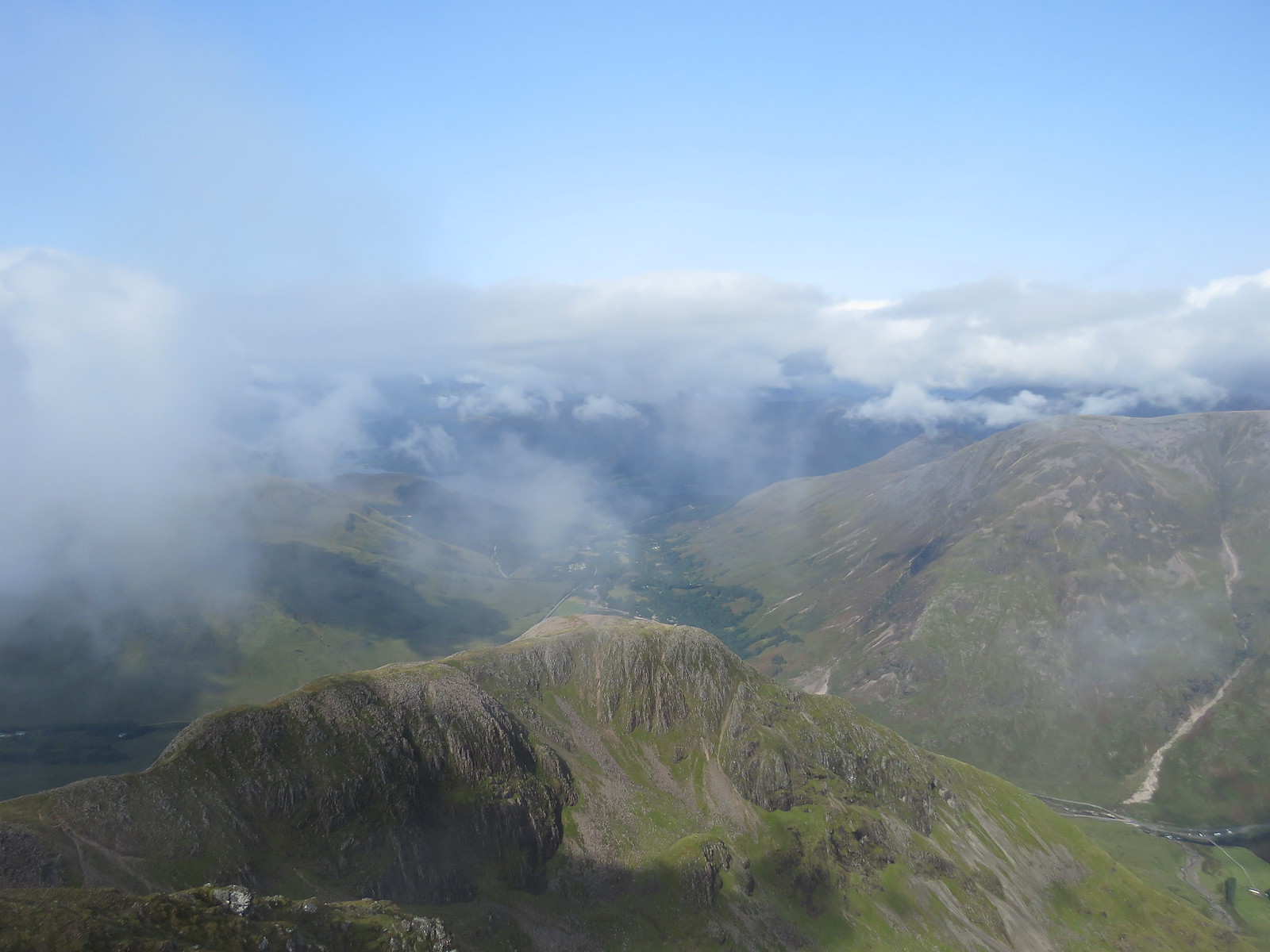
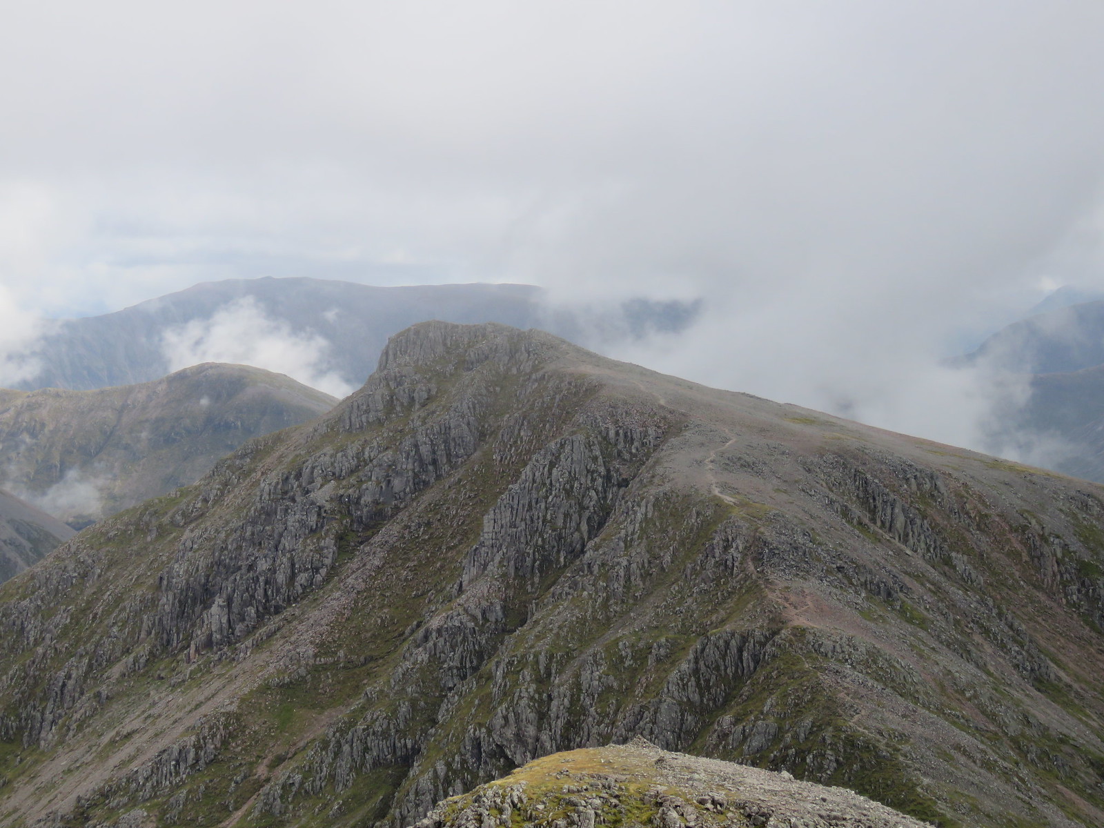
This was my view of the ascent from the bealach up to the summit of Bidean nam Bian, doesn't look too scary when you cannot see anything.
 Bealach up to Bidean nam Bian
 by
robert irvine, on Flickr
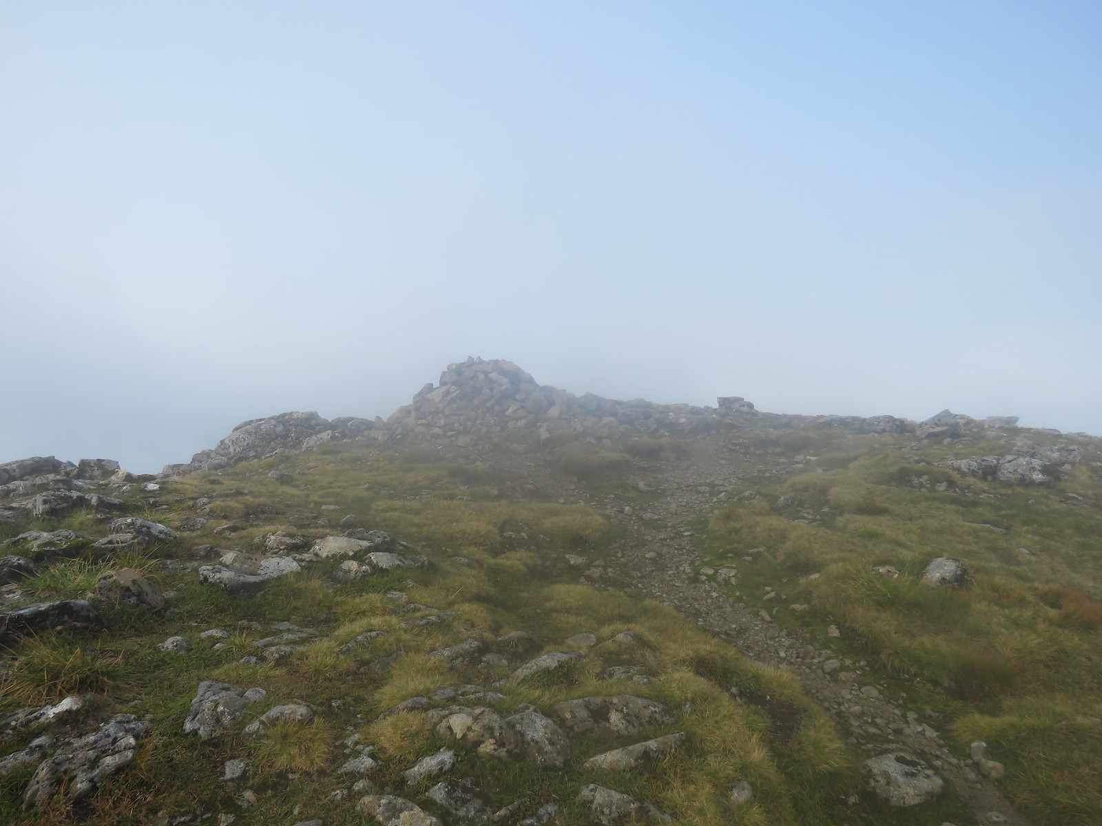
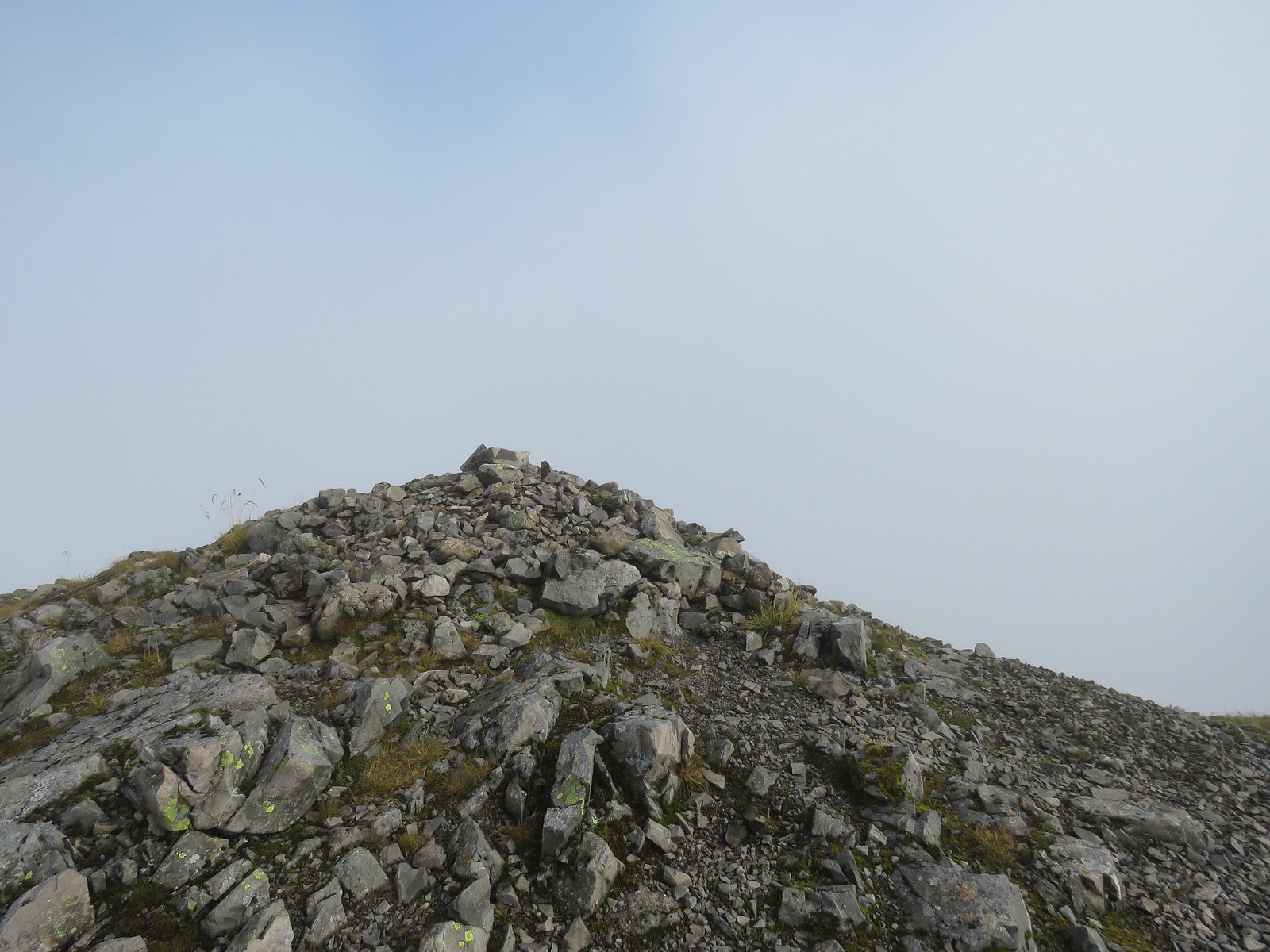
Nothing too difficult, a couple of minor scrambles and before you know it the cairn appears out of the mist.
 Bidean summit cairn
 by
robert irvine, on Flickr
Again some lovely clouds to admire.
Met a nice young couple from Cumbria here who were on a walking holiday.
The next day they were off to climb Ben Nevis by the C.M.D arete route.
Hope they got on ok, didn't catch their names.
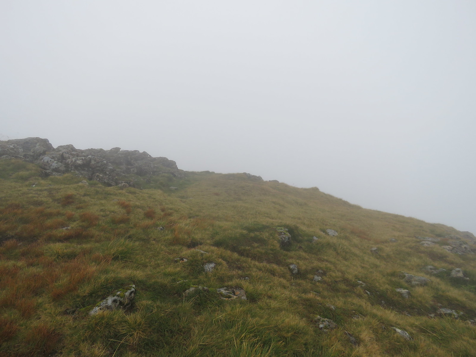
Down off the summit and on the path to Stob Coire Sgreamhach, still misty.
 On the ridge to Stob Coire Sgreamhach
 by
robert irvine, on Flickr
Fairly uneventful stroll, not much too see until the summit appeared.
 Summit Stob Coire Sgreamhach
 by
robert irvine, on Flickr
No views here, so I continued along the ridge a bit until the clouds began to thin and sat at a cairn for a bite to eat.
I was joined by a small unknown bird, I am no ornithologist, that sat on the cairn and chirped away merrily.
I broke some seed of my wholemeal bread and it really seemed to enjoy eating this.
It continued to sit on the top of the cairn all the time I was there.
 Cairn further down ridge
 by
robert irvine, on Flickr
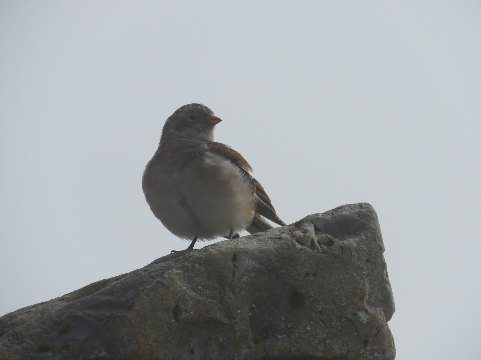 Friendly bird on cairn, happy chap, or chapess
 by
robert irvine, on Flickr
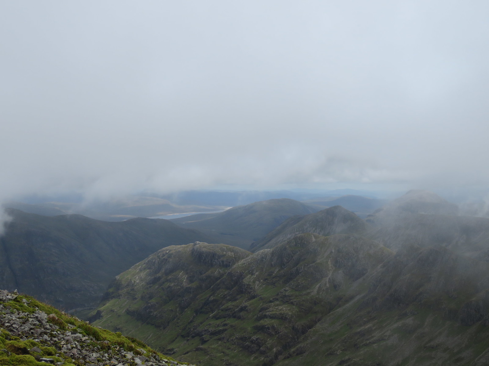
I took some photos from here through the passing clouds.
 Looking North East
 by
robert irvine, on Flickr[/url], on Flickr
 Down to Glencoe (2)
 by
robert irvine, on Flickr
 Stob Dubh on Buachaille Etive Beag
 by
robert irvine, on Flickr
 Back up to Stob Coire Sgreamhach
 by
robert irvine, on Flickr
 Blackwater resevoir in distance
 by
robert irvine, on Flickr
From here, I went back up to Stob Coire Sgreamhach and turned right and headed down onto the ridge up to Beinn Fhada.
It wasn't a long pull up to the summit, but unfortunately the clouds rolled back in again.
 Beinn Fhada summit
 by
robert irvine, on Flickr
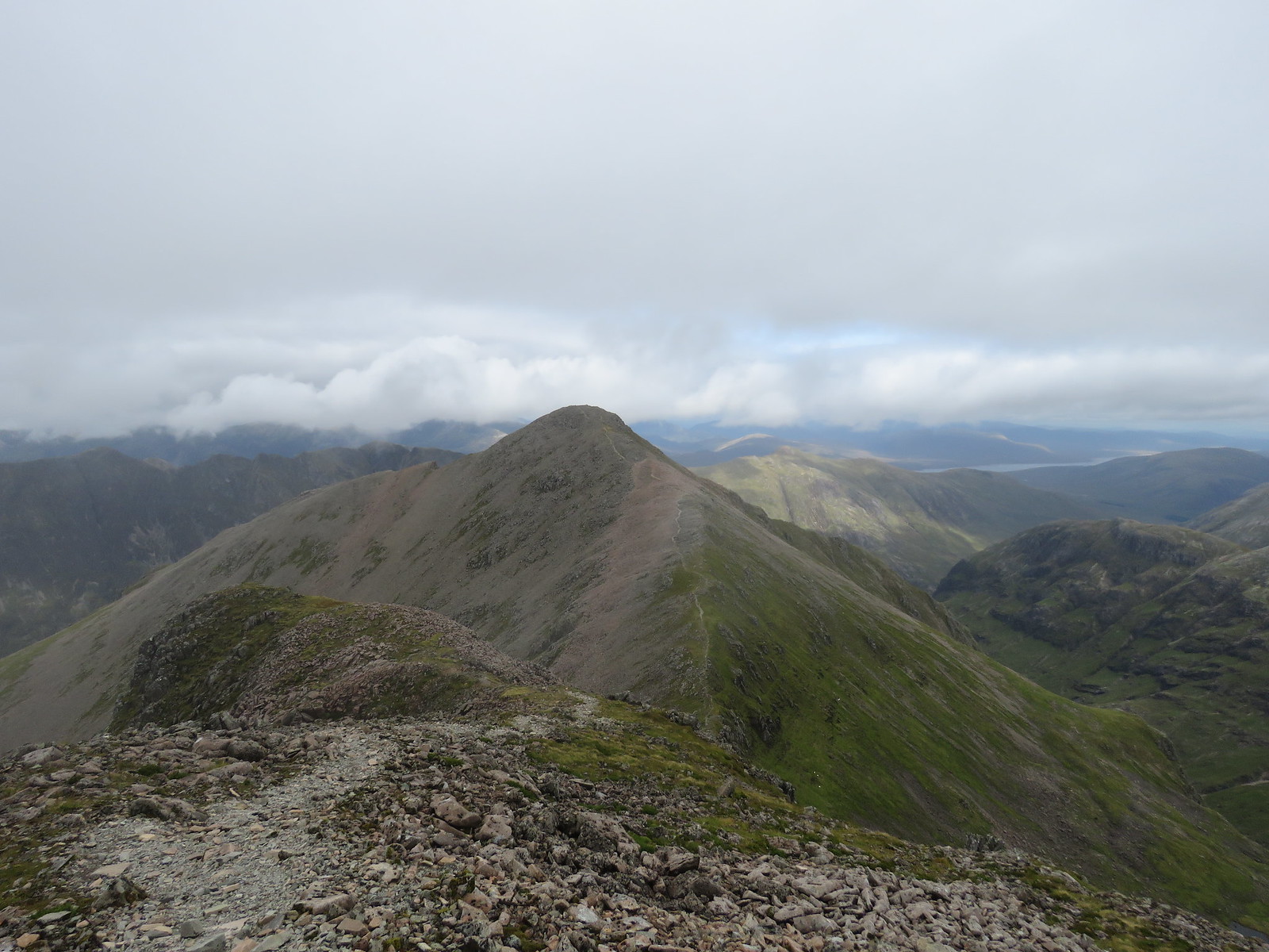
Back along the ridge again to Stob Coire Sgreamhach, as the clouds began to part again.
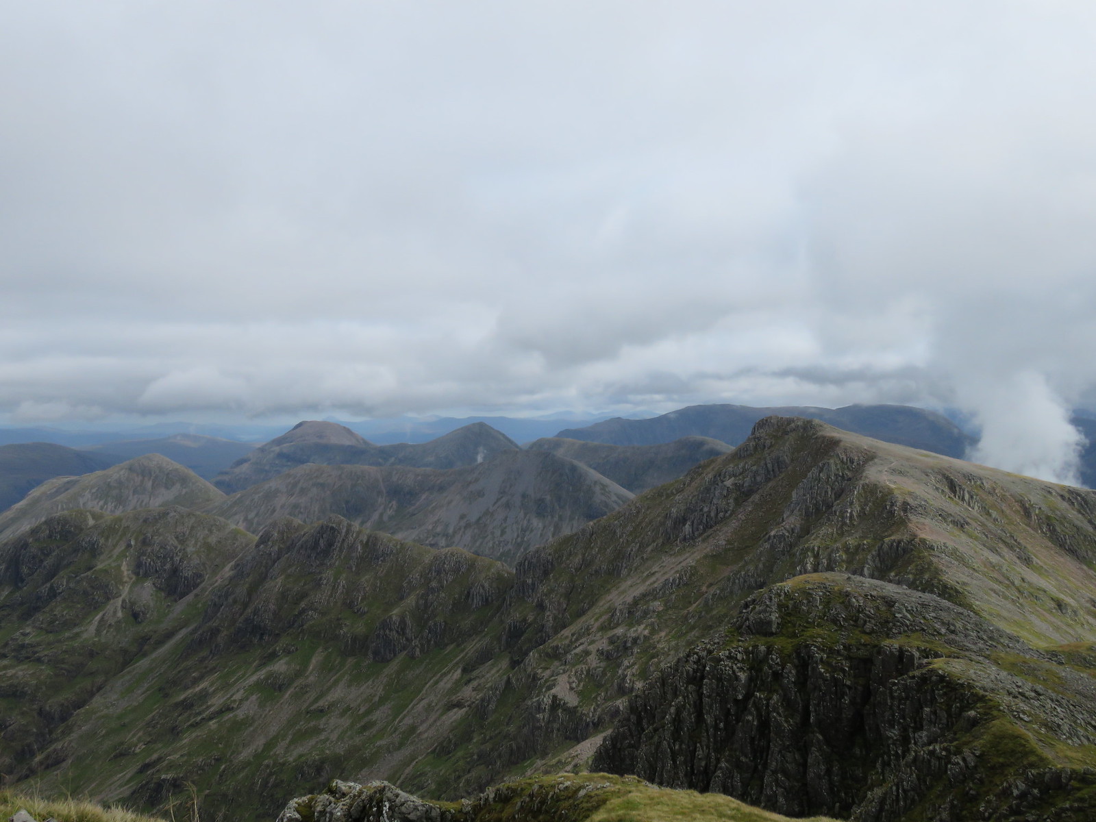 Beinn Fhada with Buachailles behind (2)
 by
robert irvine, on Flickr
I then went back up and over Bidean nam Bian because I wanted to try an alternative descent route down into Coire Gabhail, or the Lost Valley.
The descent down at Bealach Dearg didn't really appeal to me at this stage.
 Stob Coire nan Lochan with Aonach Eagach behiand left
 by
robert irvine, on Flickr
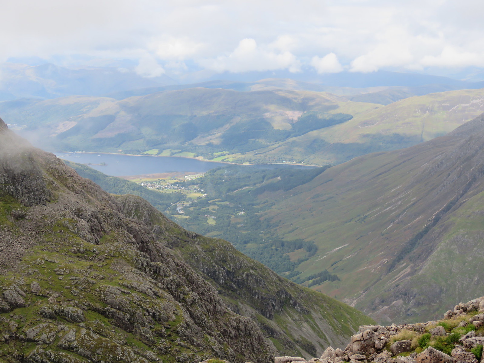 Glencoe and Loch Leven
 by
robert irvine, on Flickr
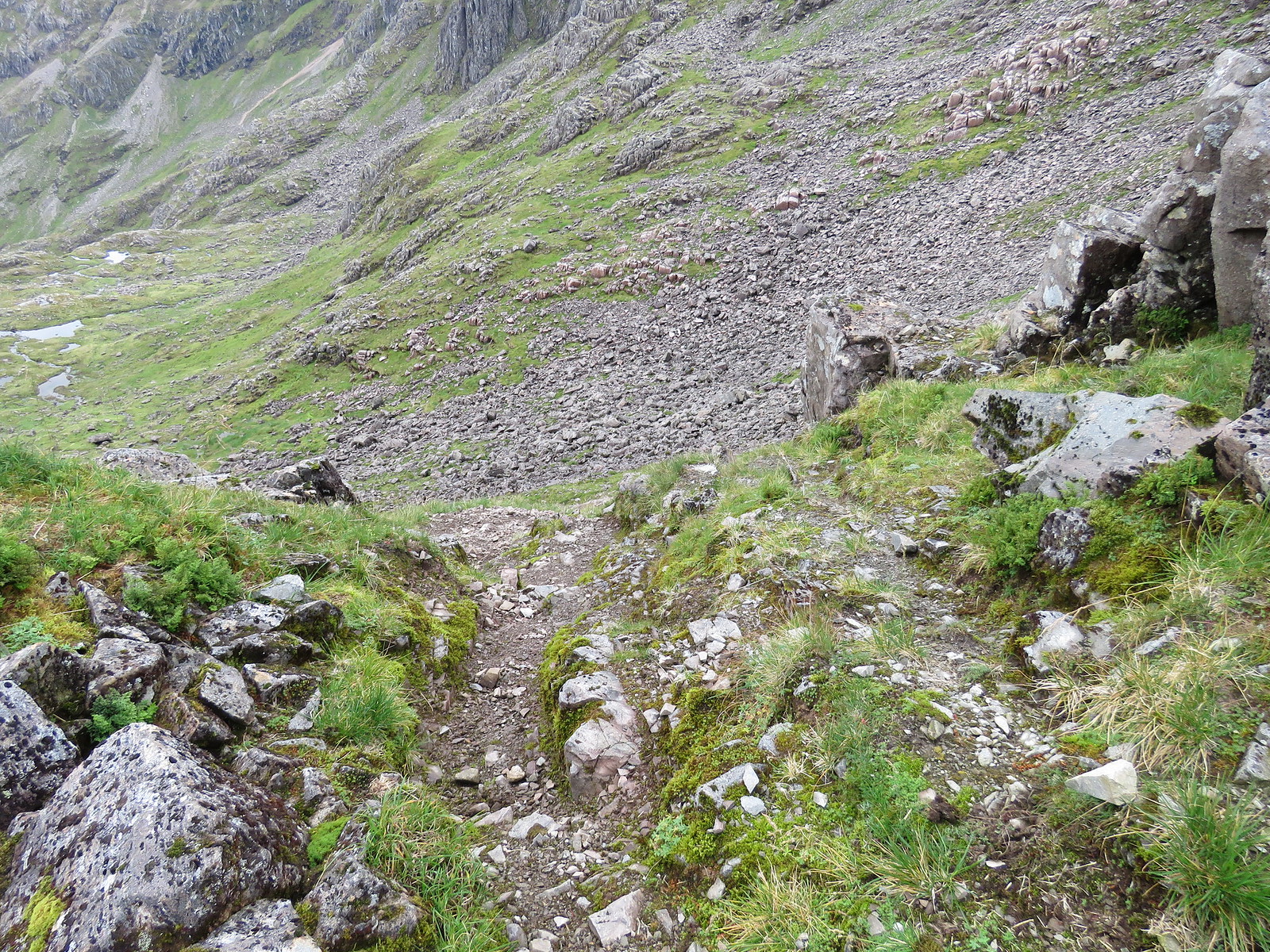 My descent to Coire Gabhail
 by
robert irvine, on Flickr
Any trace of a path quickly disappeared and I made my way across the bottom of the head wall of the Coire until I picked up the descent path on the opposite side.
 Down Lost Valley
 by
robert irvine, on Flickr
 Across to Beinn Fhada from top of Lost Valley
 by
robert irvine, on Flickr
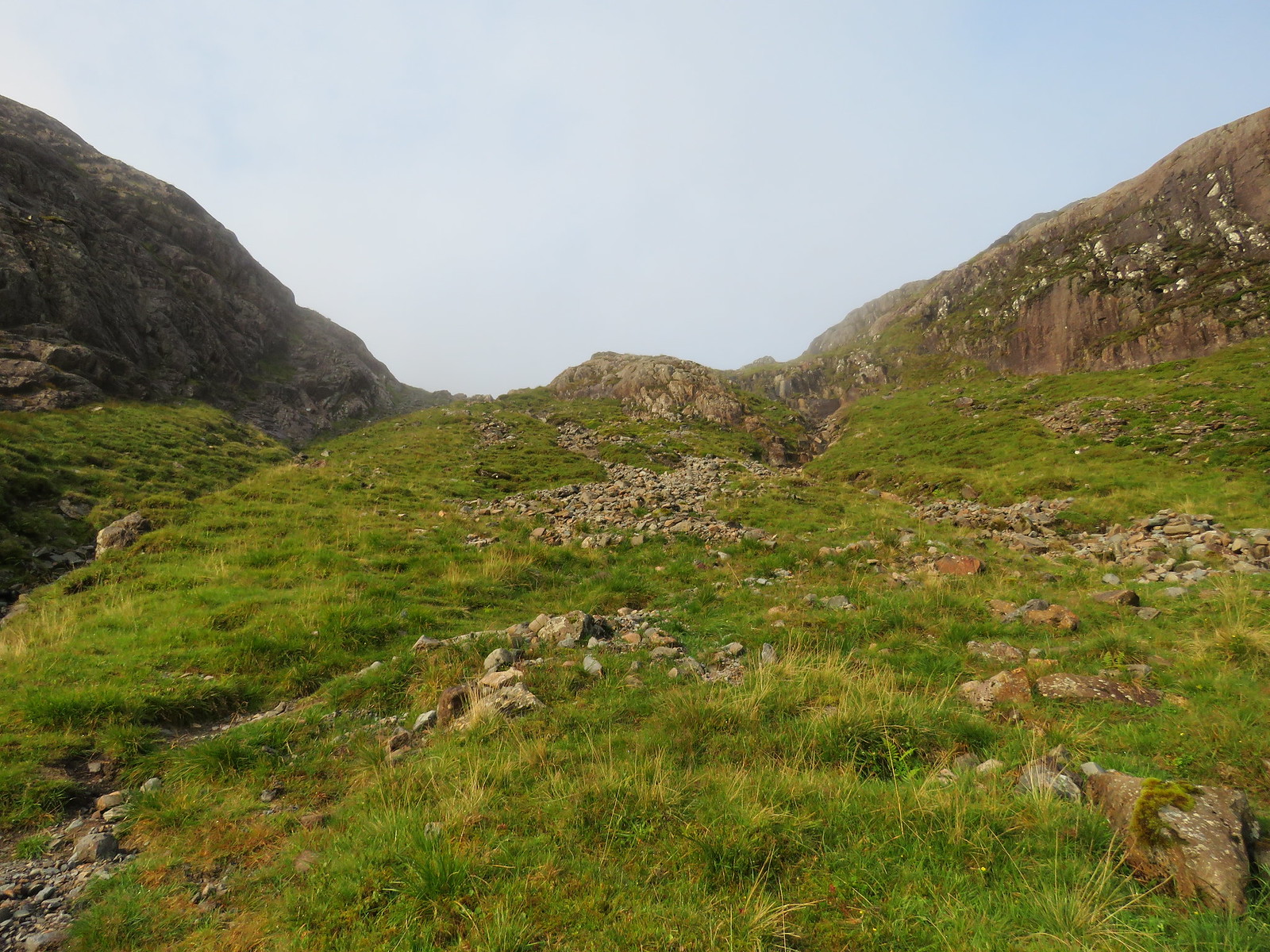
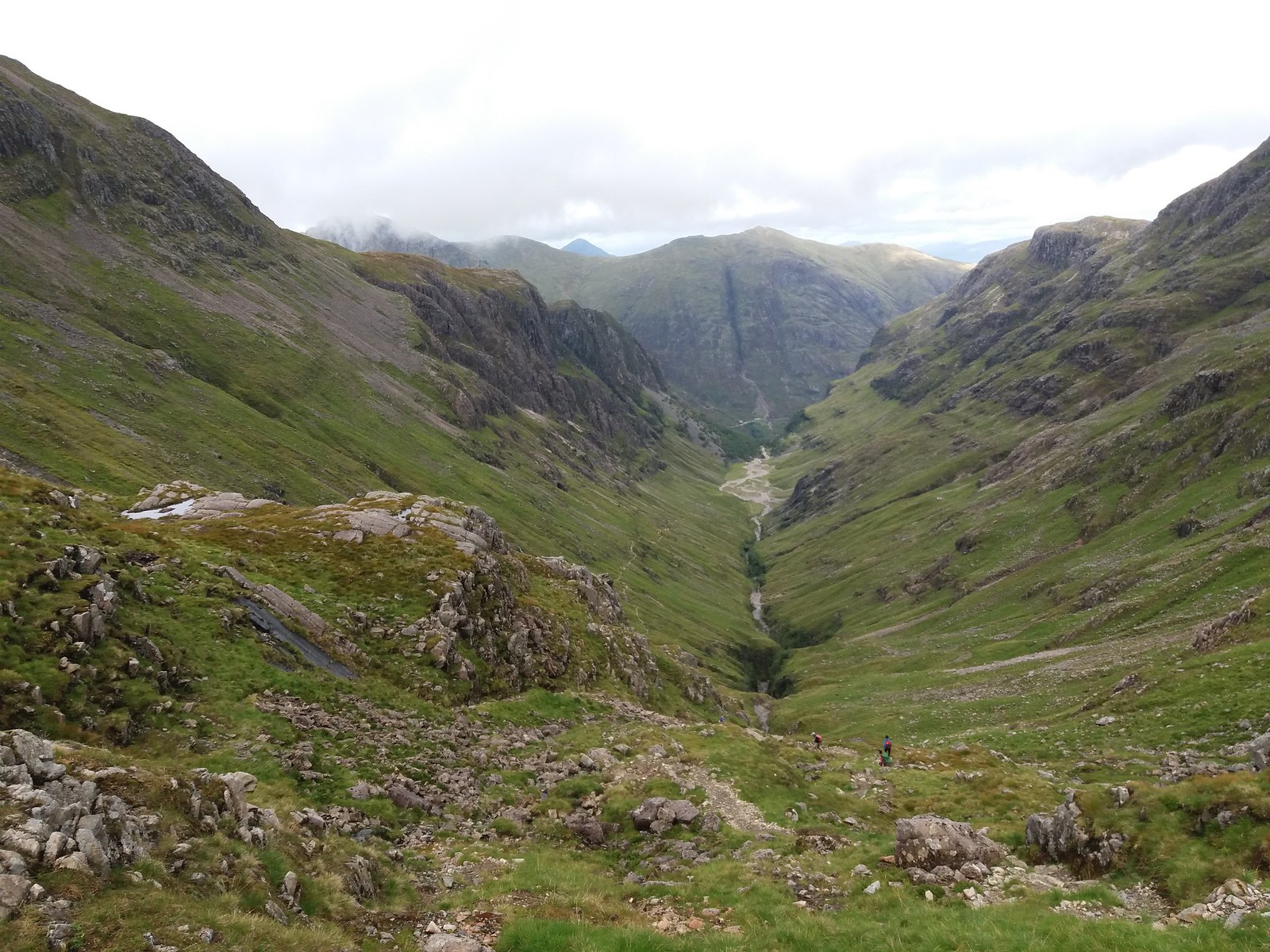
From here, it is an easy enough walk down through some really beautiful scenery on a path that becomes better as you descend.
 View back up Coire Gabhail, Lost Valley
 by
robert irvine, on Flickr
You have to cross the Allt Coire Gabhail on some dodgy stepping stones just at the end of the Glen and I can imagine this would be fun if the water was any higher.
 Wall of water, end of Coire Gabhail
 by
robert irvine, on Flickr
The last part of the route, from the entrance to Coire Gabhail to the car park is a bit scary at times and busy with tourists heading up the way.
Bit of a long day walking but well worth it.
Unfortunately, on the way home, there was a serious accident on the A82 just past Loch Ba which led to the road being closed indefinitely.
The rumor at the time among fellow motorists was that there had been a fatality, but fortunately this turned out to being not true, just some one injured and not seriously.
As I was travelling back to Falkirk, this meant a diversion back to Glencoe and down the Oban road as far as Connel and then along the A85 throughTaynuilt, then Dalmally and back onto the A82 at Tyndrum.
It was a pleasant enough drive but maybe I could have done without it at that stage.
Was glad to get home .
