free to be able to rate and comment on reports (as well as access 1:25000 mapping).
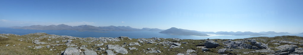
John Doh spotted a panorama I had taken from Taransay and asked for a TR, so here it is (first published elsewhere)
What? Ben Raah
When?Wedneday 30th May 2018
Who? Sgurr and R
Weather?Bright sunshine, little wind
Distance? 3.6 miles
Ascent?1207 feet
Map? 18
We had arranged with some island baggers, led by Mervyn Jack, to take us to Taransay one day, and Pabbay the next. Unlike the previous year when we would accompany them on their quest for other islands, they would dump us there at the beginning of the day and collect us at the end, giving us several hours on each island, and removing the pressure to try to keep up with faster people.
As the ferry approached Tarbert, I began to panic. I had misread the schedule. It was not fixed in stone, but weather dependent, and our trips might get moved forward if those to the Flannans and the Monachs had to be postponed due to weather, and we were only arriving late on Monday, when a trip was already scheduled to have taken place. Luckily, the weather had stayed fair, as it had throughout the previous week, and it was to remain for the following two weeks. We went for an easy walk on the Tuesday, and on Wednesday met our fellow baggers at Leverburgh pier to board
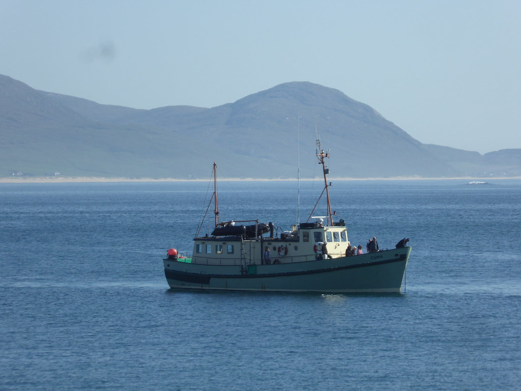
Sea Harris’s new boat “The Enchnted Isle” captained by Seumas Morrison
Since some of the party were collecting Tumps and needed to walk south west, we were dropped at approx. NB 013006 which gave us further to walk to the summit of Ben Raah, but who cared.
The boat takes Mervyn to yet another island, as he isn’t amongst the island baggers that feel they have to bag the summit.
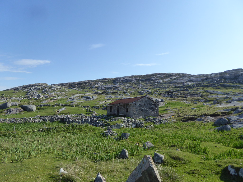
We walked past a small shed.
To the left, the Tumps

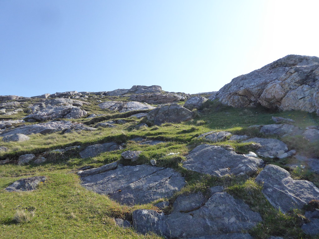
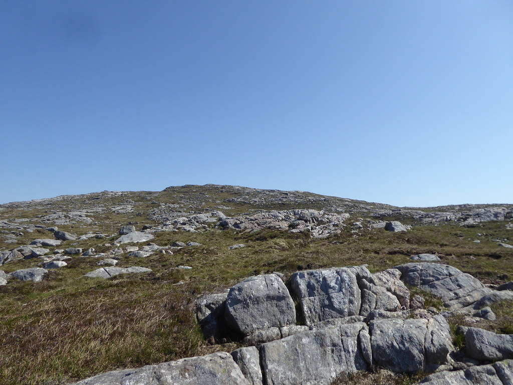
The usual Harris type rocks
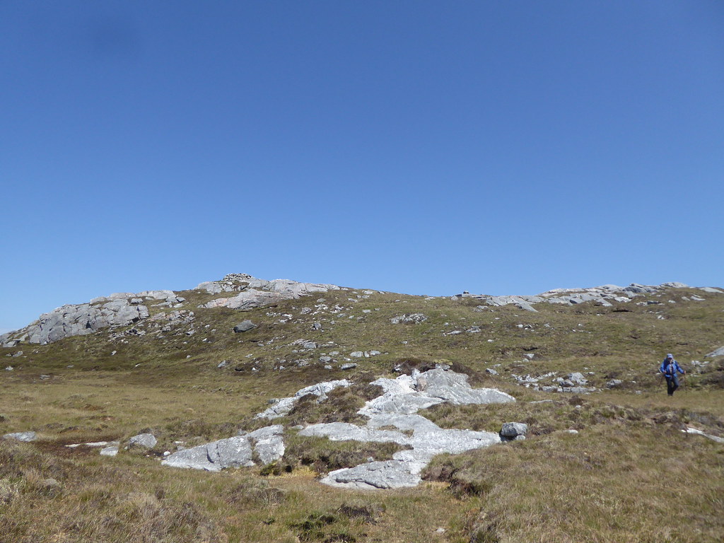
The summit of the Tump en route to Ben Raah
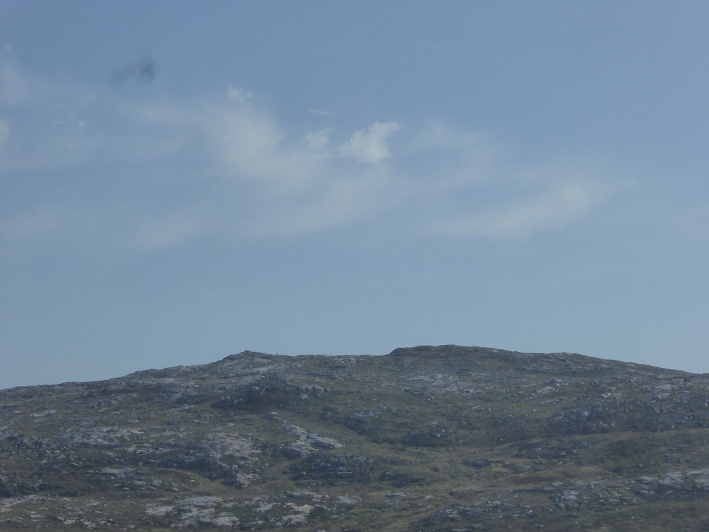
First sight of Ben Raah
Summit of Ben Raah(zoomed), some of the baggers are already on top
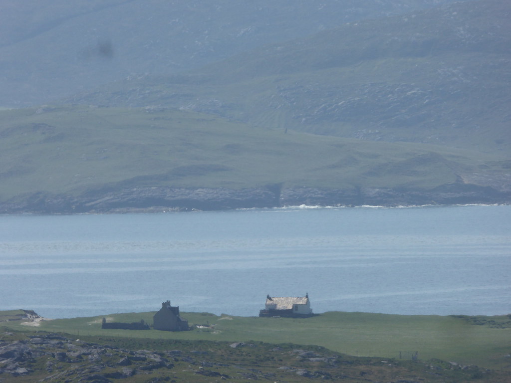
Zoomed, the main house on Taransay
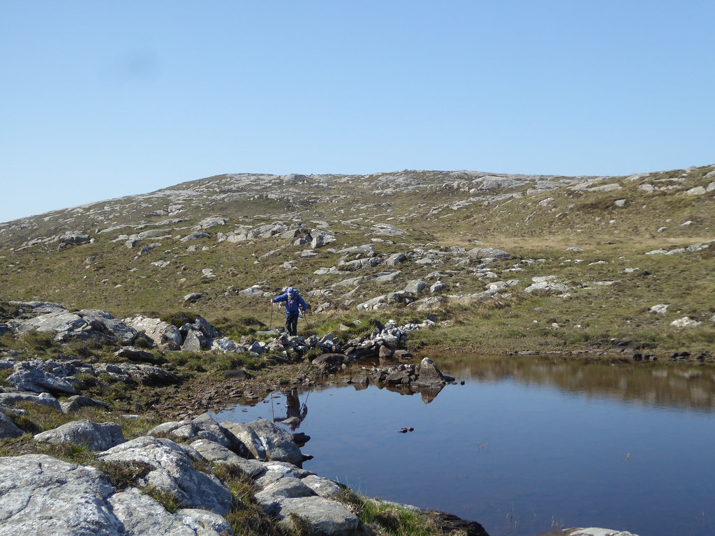
Lochans en route
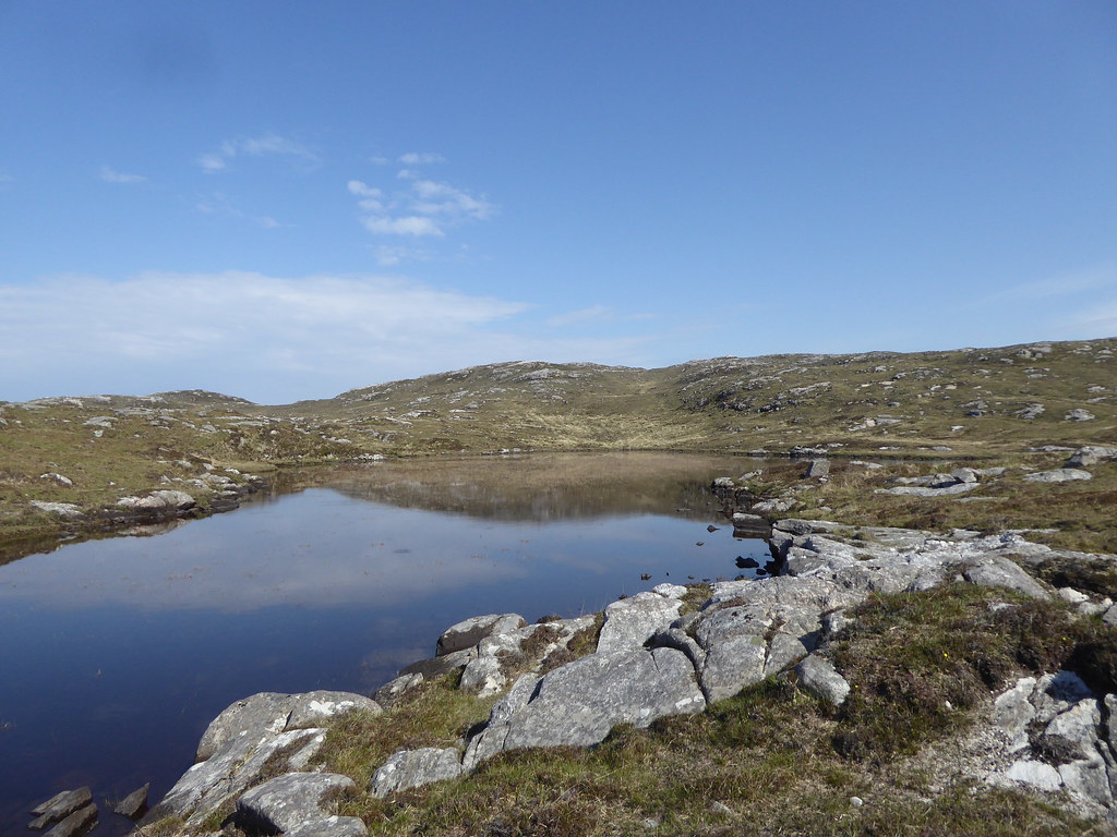
The end of the lochan is blocked by what looks like an old dam, so we assume it is the water supply for the house
Somewhere round here, we met the speedy Dorothy Wilson already heading back to the boat
R climbing up
Towards the summit
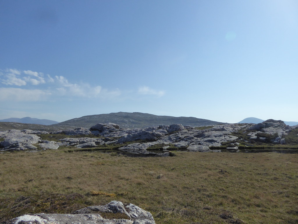
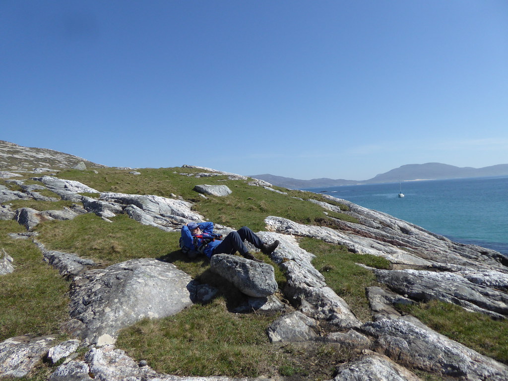
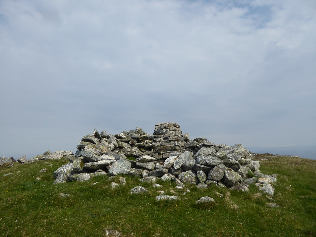
Summit of Ben Raah
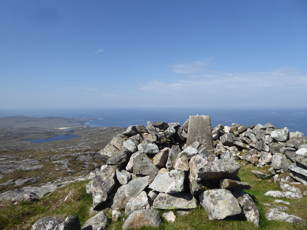
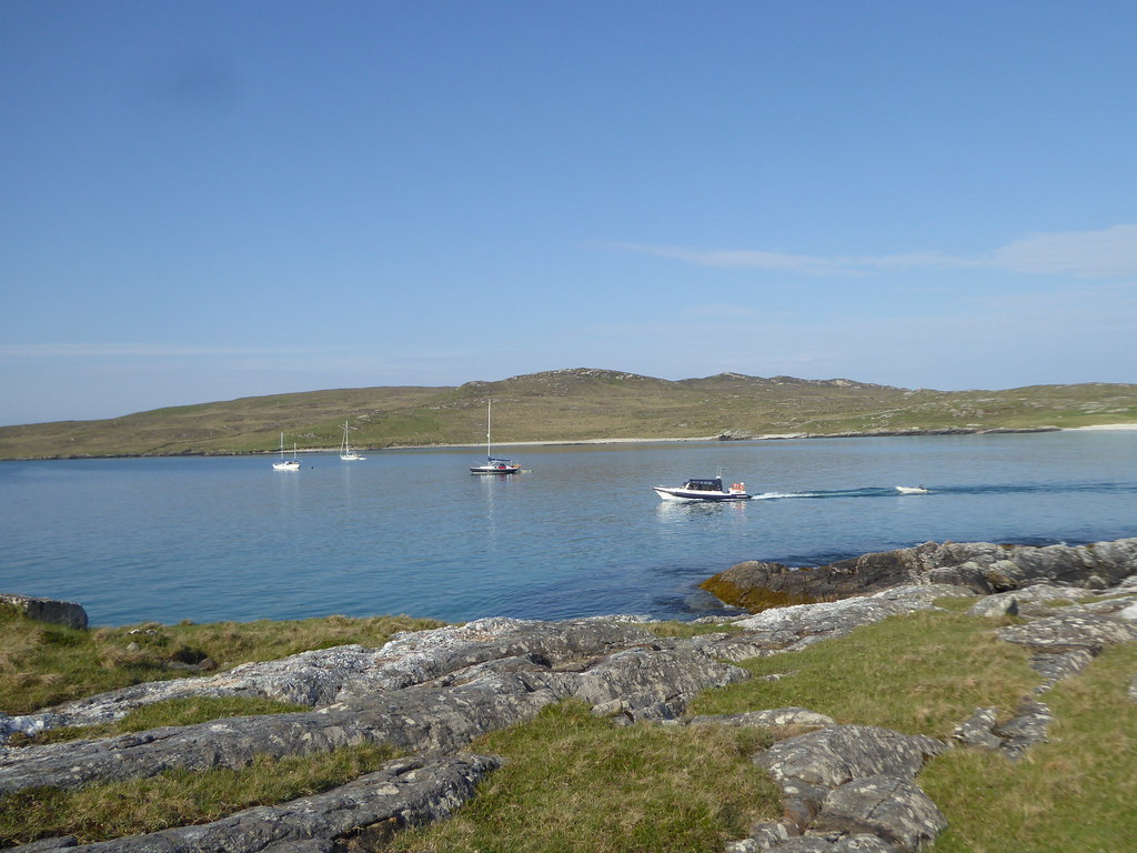
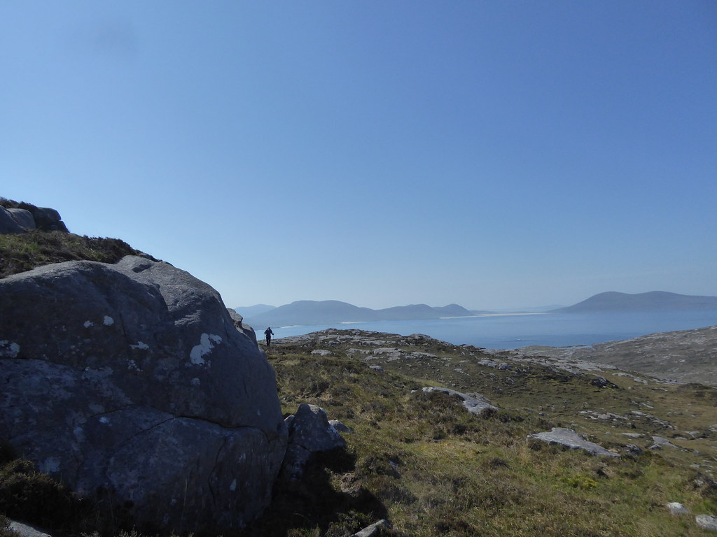
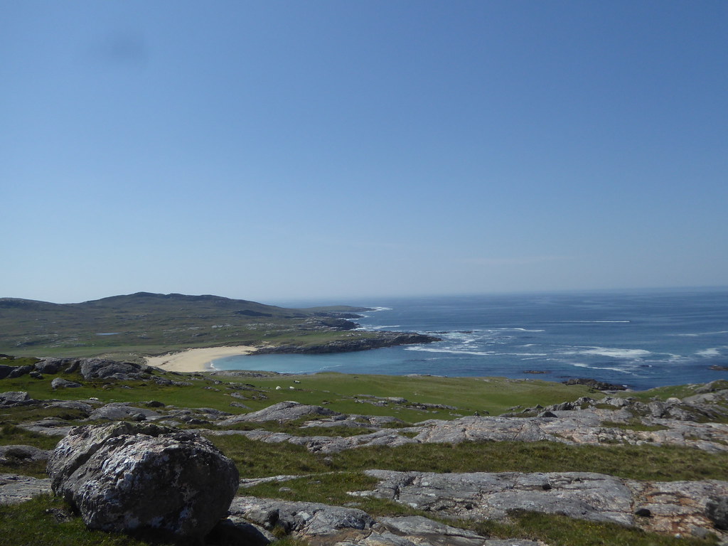
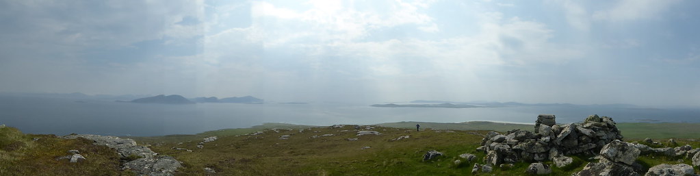
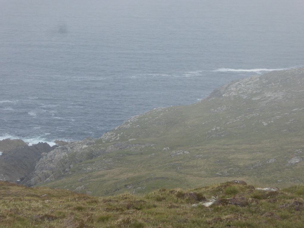
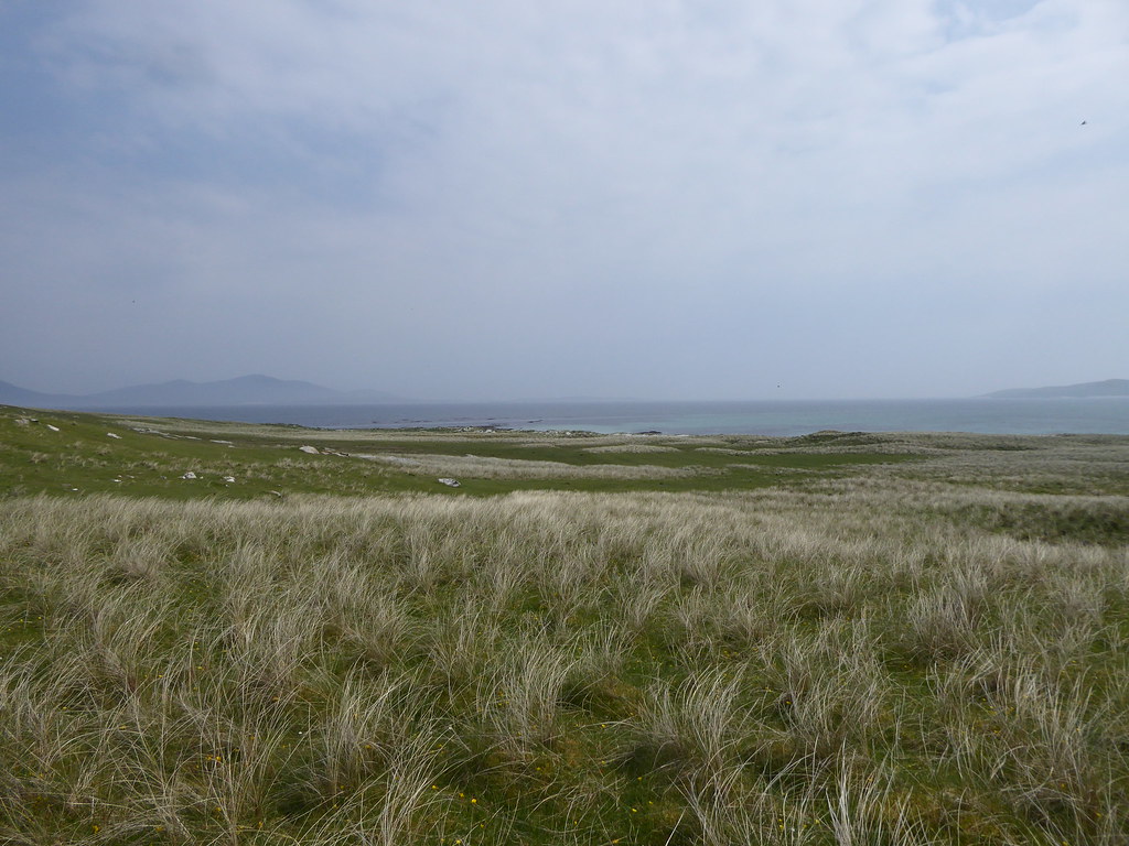
Panorama to the mainland
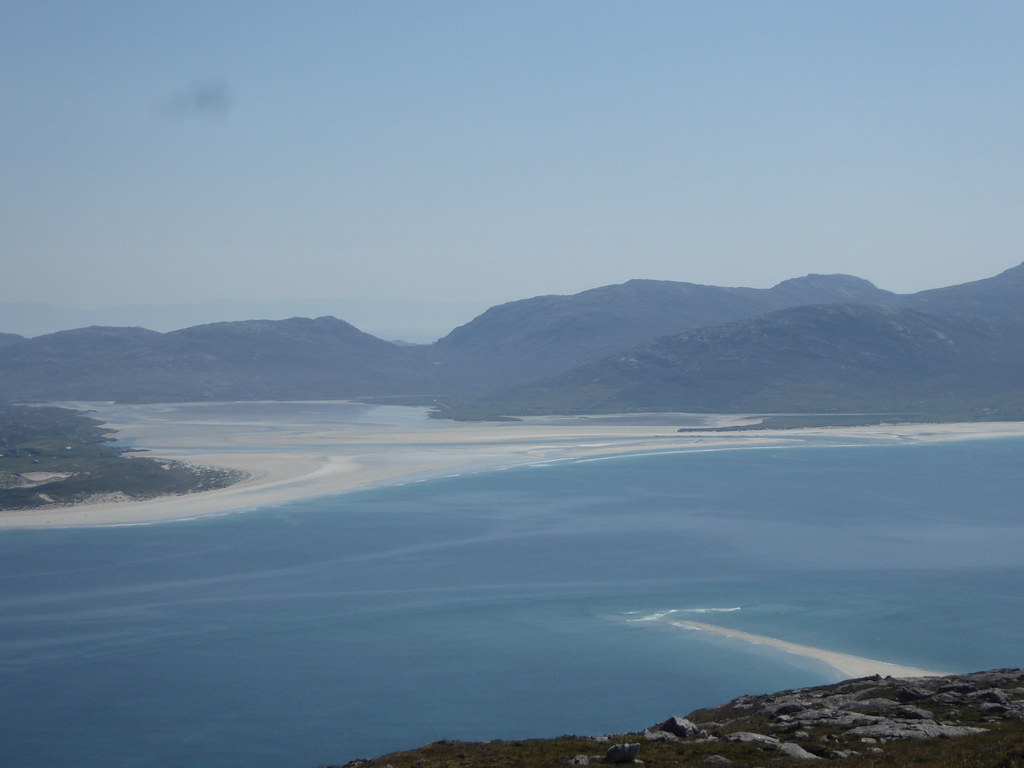
The famous Luskentyre sands zoomed
We sat and ate a long lunch on top
We saw what at first we thought were feral goats, but later decided were small deer. Someone told us that the new owner wants to set up Taransay as a sporting estate.
Descending
Way down
The beach the opposite side from where we had landed
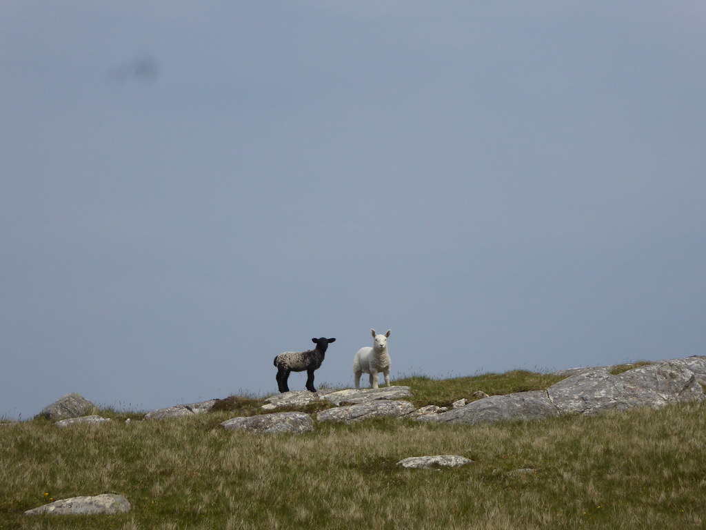
Looking towards our pick-up point with the grass neatly shorn by sheep
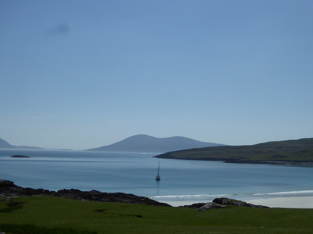
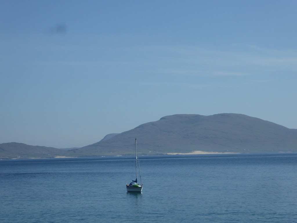
A yacht had moored in the bay. Its occupants had come on shore to look for flowers and evidence of early habitation
Like this?
There they go, back on board
R waiting for our pick up
False alarm
Another false alarm
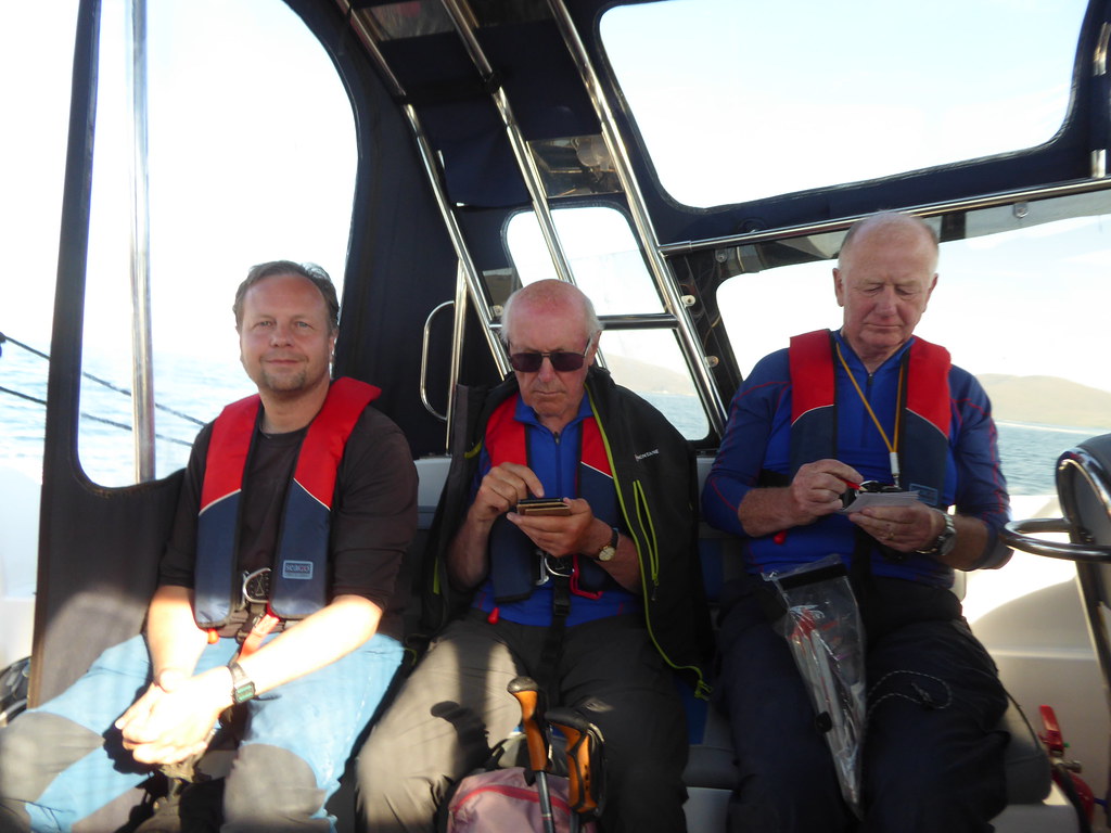
Back on board, everyone checks their logs.
 What?
What? Beinn a Charnain (Pabbay)
When?Thursday 31 May 2018
Who? Sgurr and R
Weather?Bright sunshine, little wind
Distance? 5.6 miles
Ascent?601 feet
Map? 18
We caught the boat from Leverburgh again. R hadn’t been attending, so was surprised to find dormobiles lined up near the pier at what he took to be Pabbay. The fuel pump at Leverburgh had packed in, forcing Seumas to take a detour to Berneray to fill up.
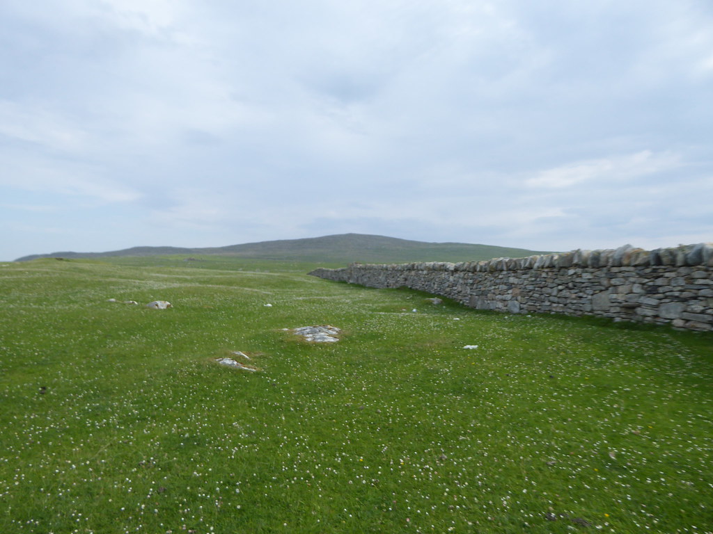
We were offloaded at a pier used by the occupants of the main house on Pabbay. Again the others hared off, scenting more islands later on. The wall lead us upwards
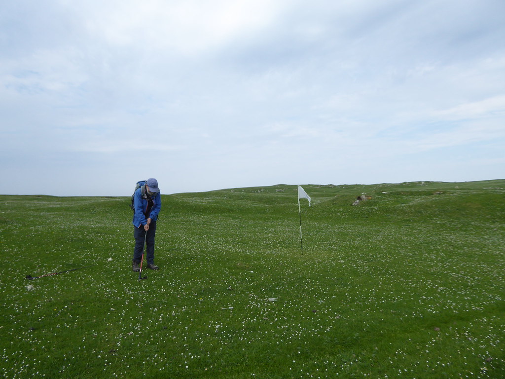
We stopped for a leisurely game of golf near the house. As far as we could see it was a single hole golf course so a Finnish acquaintance of mine who has been bagging Scottish golf courses (well over 500) in a kilt, won’t need to take a boat to this one.
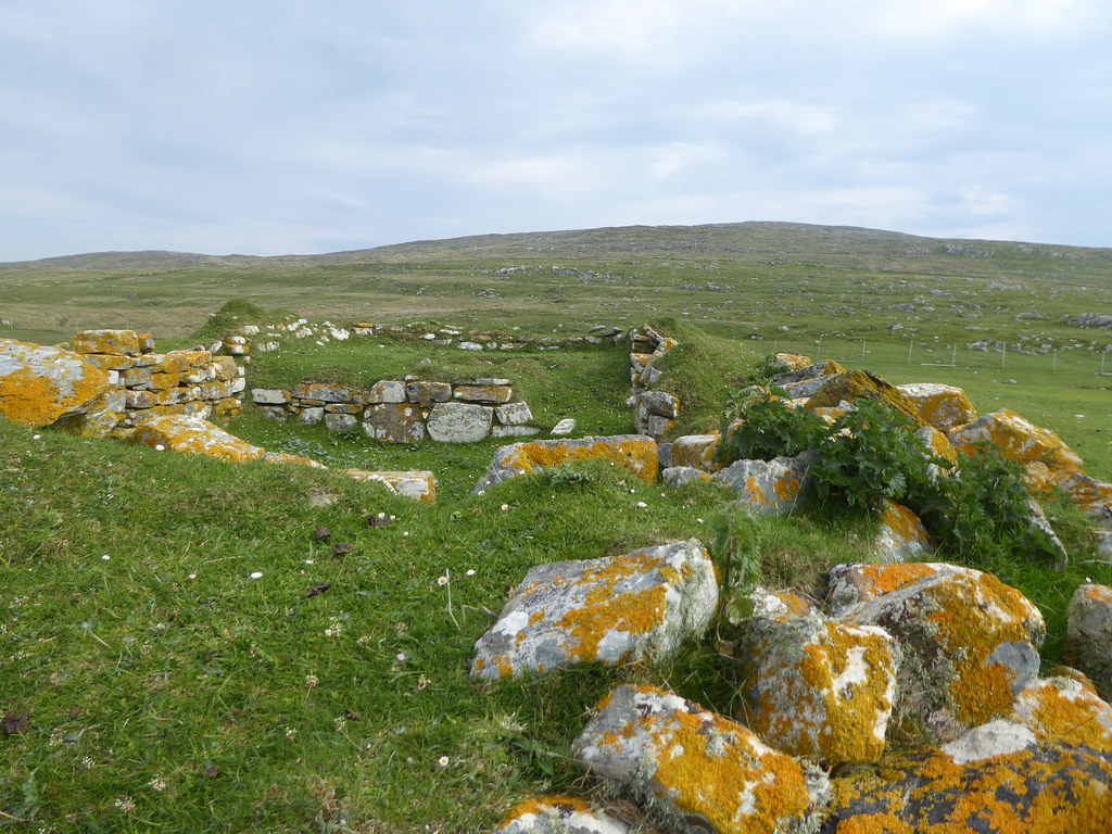
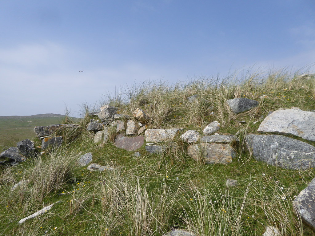
There were lichen covered remains of all sorts of old houses. This particular one at Bbaile-lingay. We poked around for some time
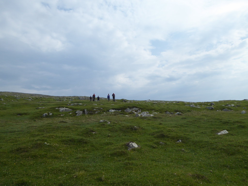
Once through the fence, the sheep cropped grass became rougher. We soon saw the other baggers marching back towards the boat.
Golden plovers piped to protect their territory always staying just beyond zoom range. We heard snipe fly overhead.
The summit
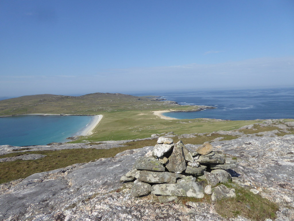
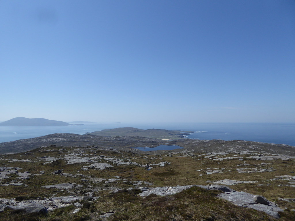
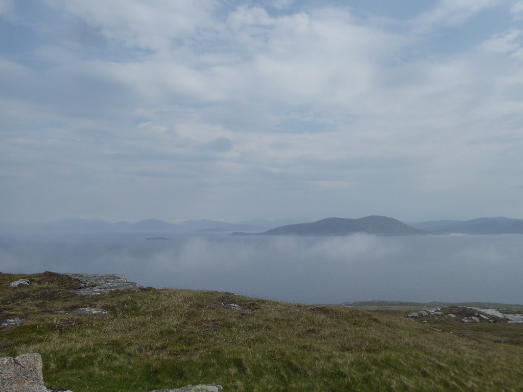
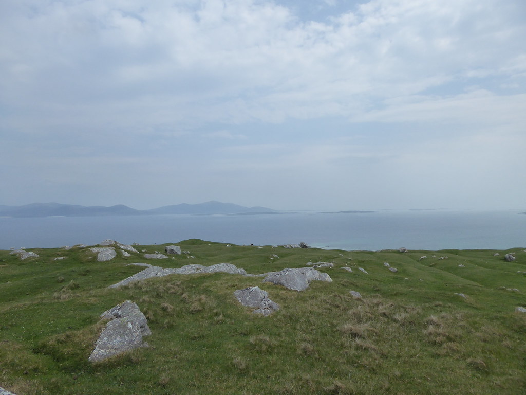
Pano from near the summit
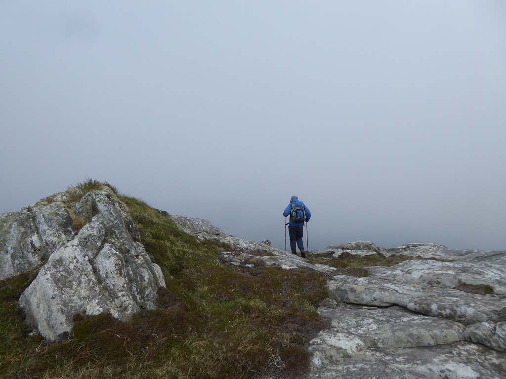
Once at the summit we soon saw sea mist drifting I from the west.
Getting thicker
We walked along the ridge towards the west until we could see lochans below. Just a quick peep over the cliff to the west
Then we contoured beneath the summit to the east, where we were amazed to find great numbers of sheep keeping the hill side trimmed. Here we stopped for our lunch.
We wandered down towards the beach, sheep going before us, and occasionally stopping to look back.
Looking across to the mainland
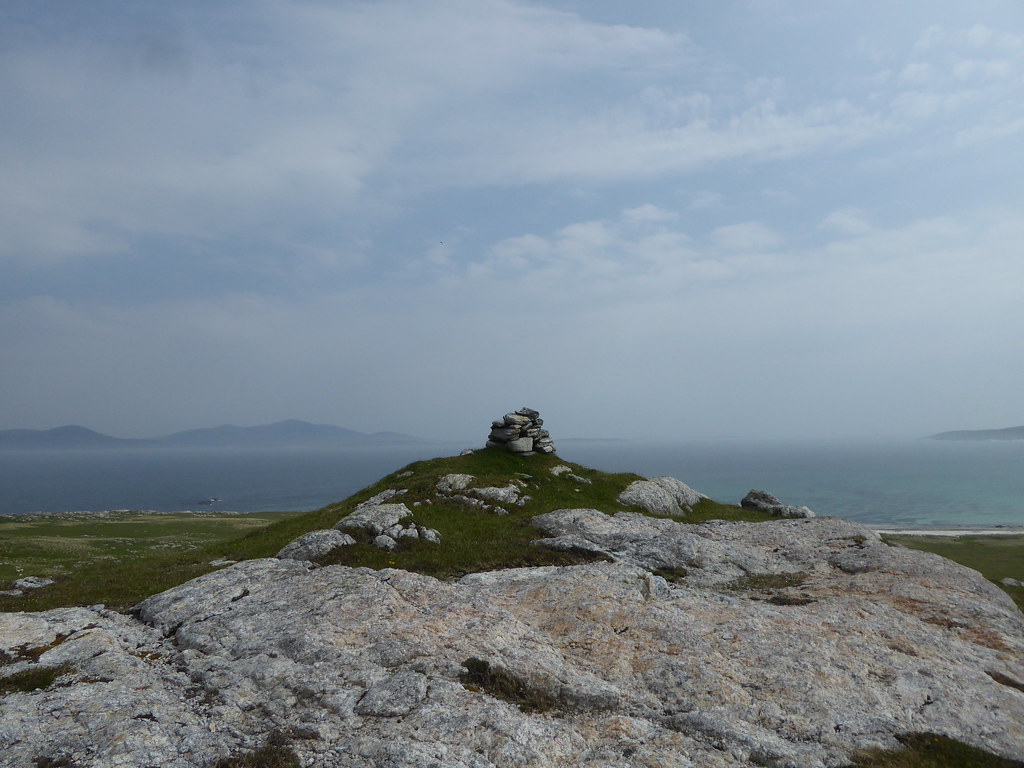
A cairn topped a little hill en route
The smooth grass turned to marram grass on high ancient dunes.
We saw lapwings, oyster catchers, various kinds of tern, and plovers, and R, turning back to see what the riot was about caught a glimpse of a golden eagle.
We reached the beach
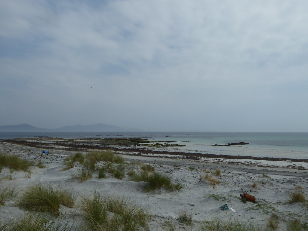
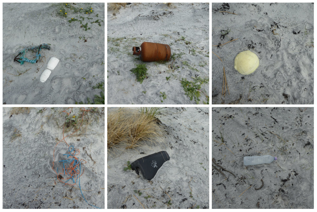
It was dispiriting to find so much plastic rubble here, where it could only have been brought by the sea.
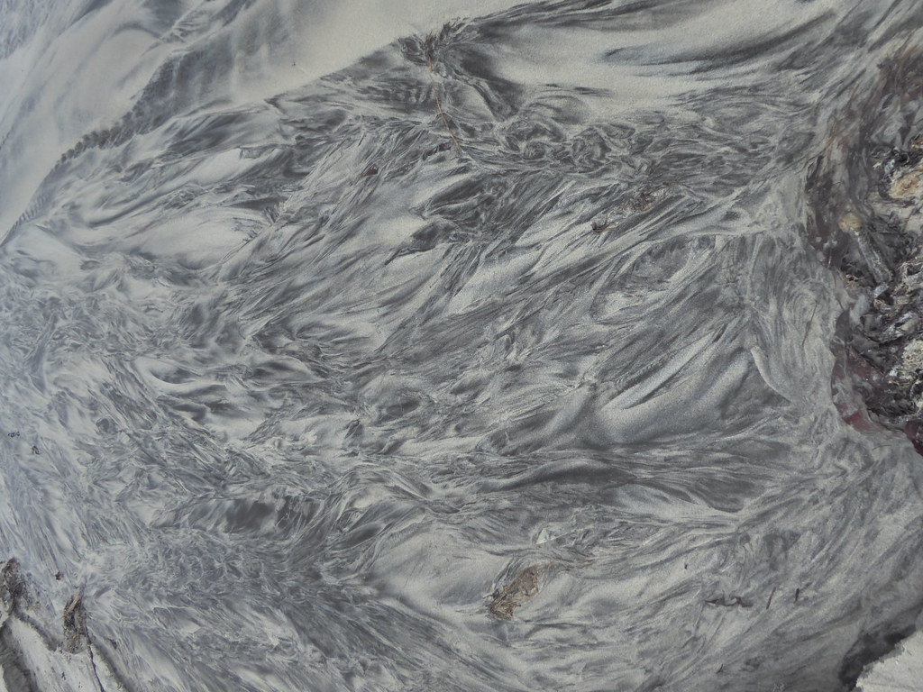
There were some interesting patterns to be seen as small burns flowed across the sand
Left the beach
[url=https://flic.kr/p/JqBSGt]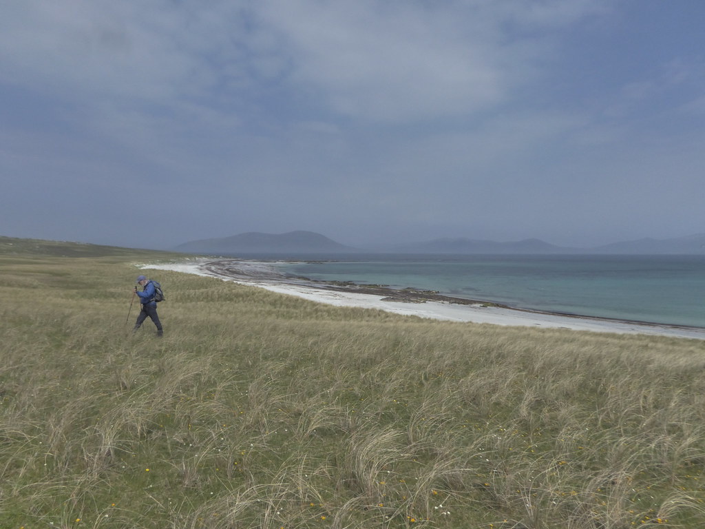
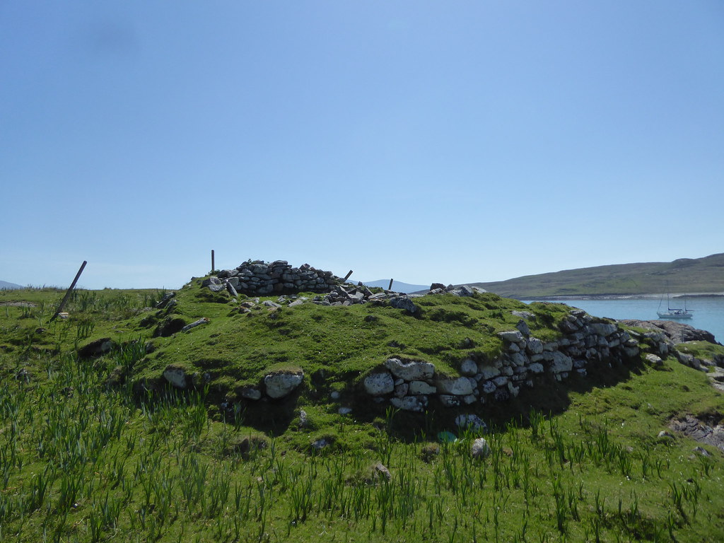
We wandered on to an ancient fort.
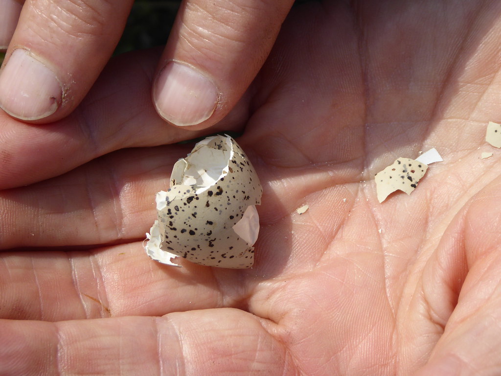
A broken egg. Whose?
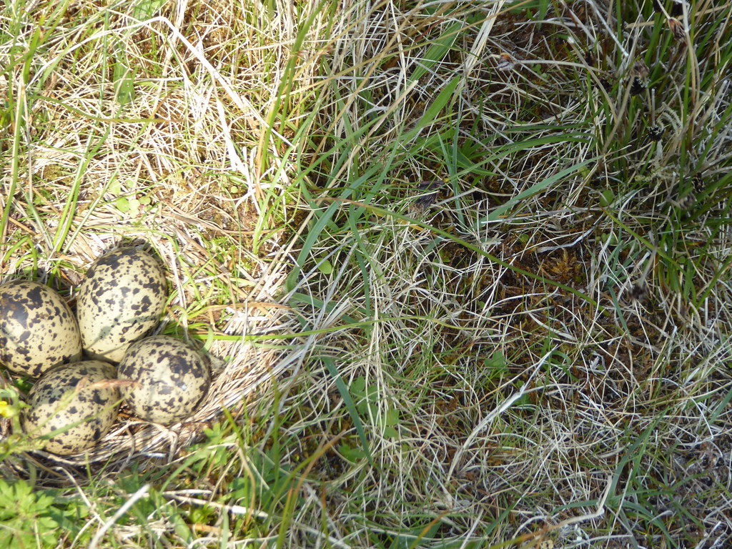
R almost fell over a nest. We suspect the eggs belong to a lapwing, but don’t really know. The glare on my screen was so strong, I couldn’t really see where they were in the picture, and when I realised it was rather poor went back to take another, but the camouflage was so good, that despite the fact that we had moved less than five yard, we couldn’t find the nest again.
Finally we made our way back to the original fence
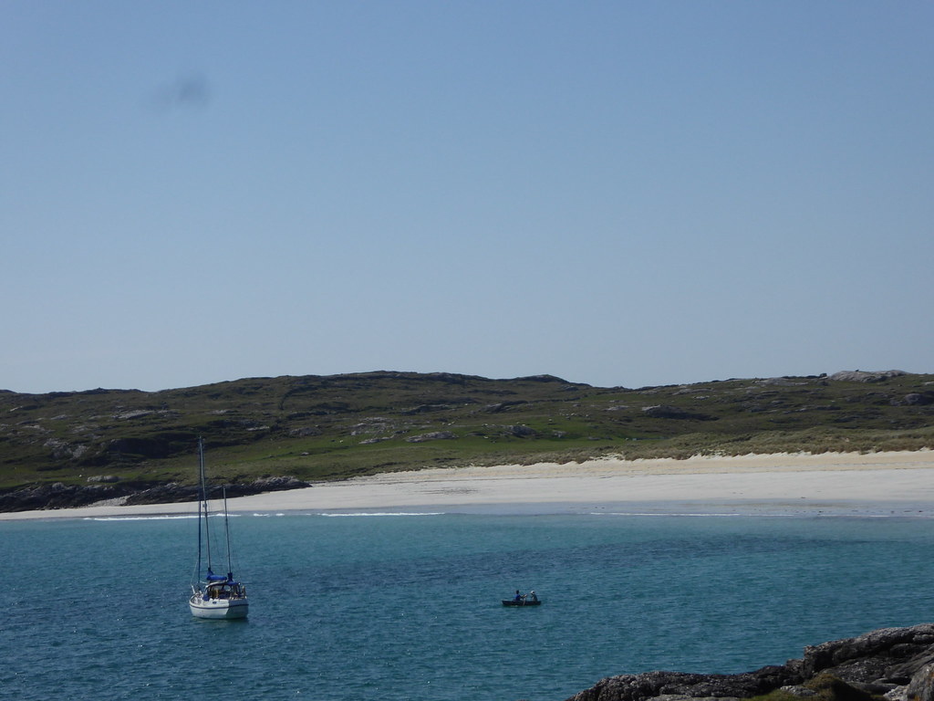
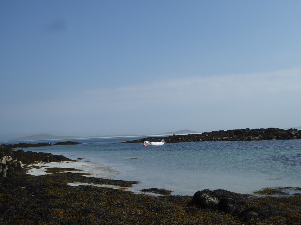
We walked all round it until we came to the pier. A dinghy was tied up, and a yacht sailed soon after we arrived
Plenty of time for an original weather watcher pictures (which they didn’t want).
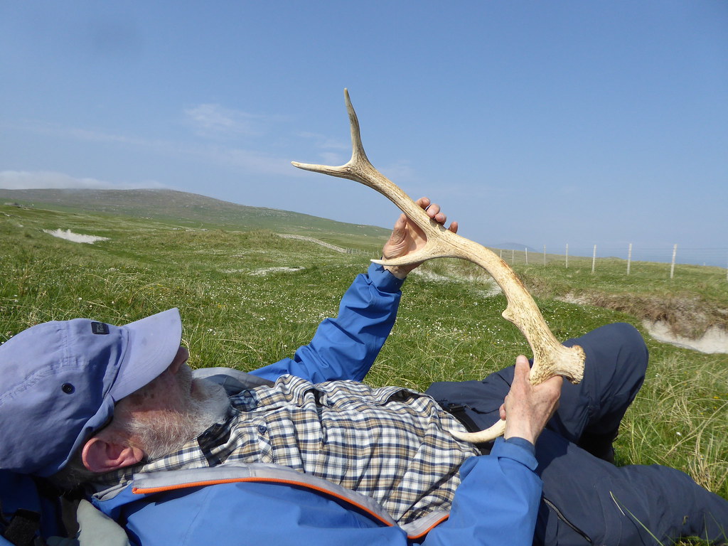
We found an antler near the pier, but decided someone maybe have stowed it there after a trip to the mainland, as there didn’t seem to be any local deer, but who knows.
Seumas took longer collecting us than we had expected, something to do with a mislaid life jacket. I won’t go into the details.
We learned (but have probably forgotten) all the details about what people are collecting. The Tumps, the trigs, the SIBs (significant islands of Britain) the SIBLETS (smaller islands) then there is one man who collects the small O/S markers between trigpoints. Something of the mind-set can be gleaned from the following conversation “Cricket’s on the way out, there’s no point in getting involved anymore.” “But THINK of the statistics!” Who are we to talk. Once upon a time we hadn’t heard of Marilyns and now we are obsessed with them.
