free to be able to rate and comment on reports (as well as access 1:25000 mapping).
After hiking up a few Munro's up at Loch Tay and getting thoroughly soaked for most of it, I hatched a plan for our walk the next weekend and decided it was about time Iain headed south for a change to get up some of the Southern Uplands. Adding to this choice was the forecast which said it would be the best place to walk to stay dry so it wasn't a tough choice to head for pastures new.
I had my eye on a Hart Fell heart-shaped horseshoe to White Coomb, starting at Blackhope, heading up to Swatte Fell then Hart Fell, over to Under Saddle Yoke & finishing with White Coomb. We would Include any the Donalds & Donald tops en route during the long, tough and often pathless hike but it would still prove to be a grand day out with good views.
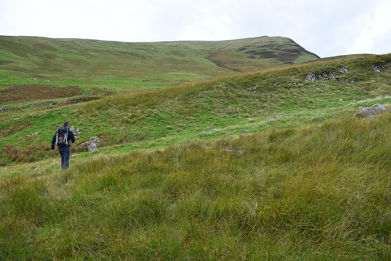
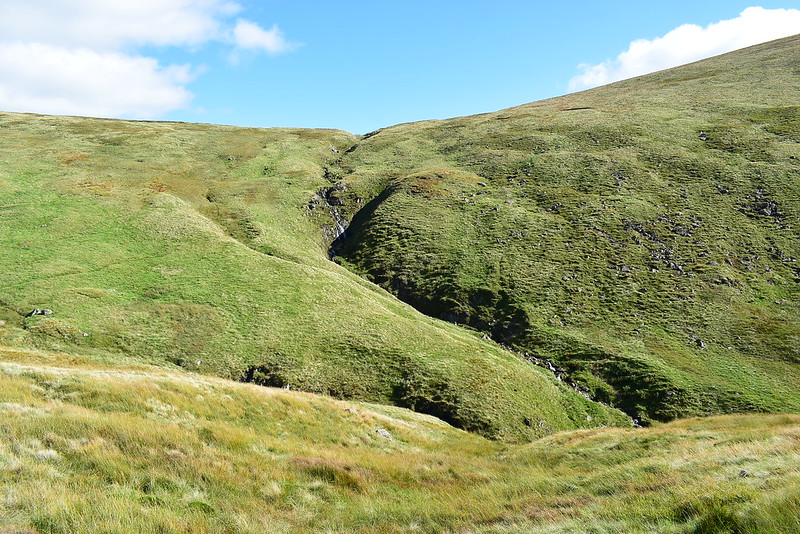
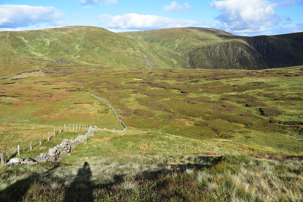
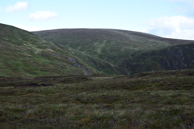
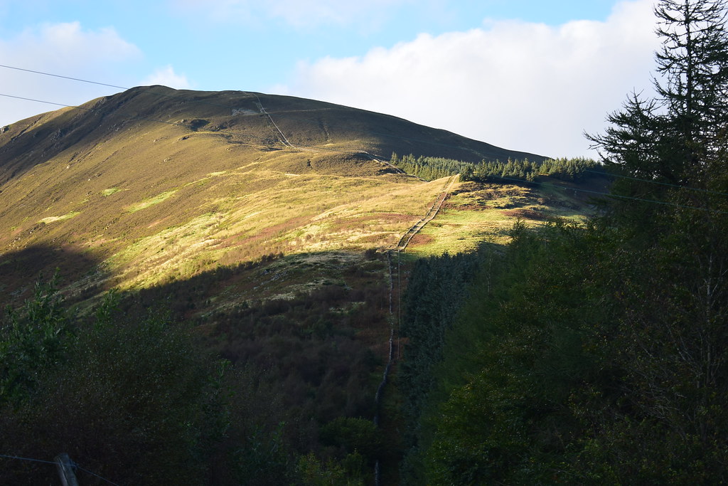
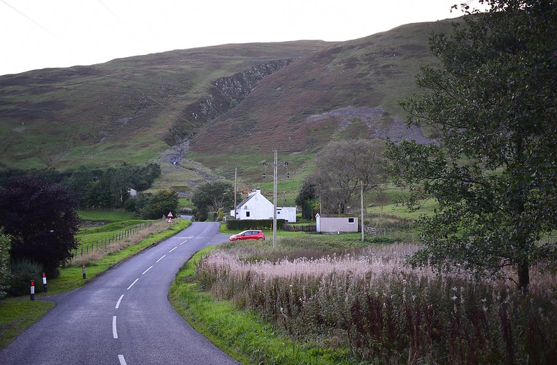
A quick collection in our home village to scoff some brekkie rolls soon saw us heading south on the M74 towards Moffat, through the town and down Moffat Dale to park at Blackshope. Someone was already parked and set off just after we arrived. We saddled up then headed along the road and immediately ahead was Hang Gill:
 DSC_6287
 by
Chris Mac, on Flickr
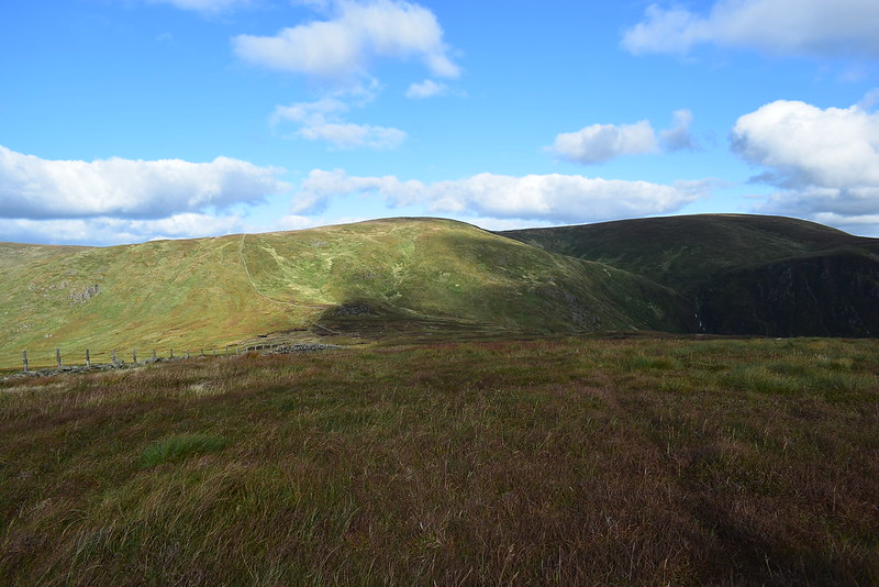
We went through the gate and crossed the field, faced with a large vertical wall of grass...
 DSC_6291
 by
Chris Mac, on Flickr
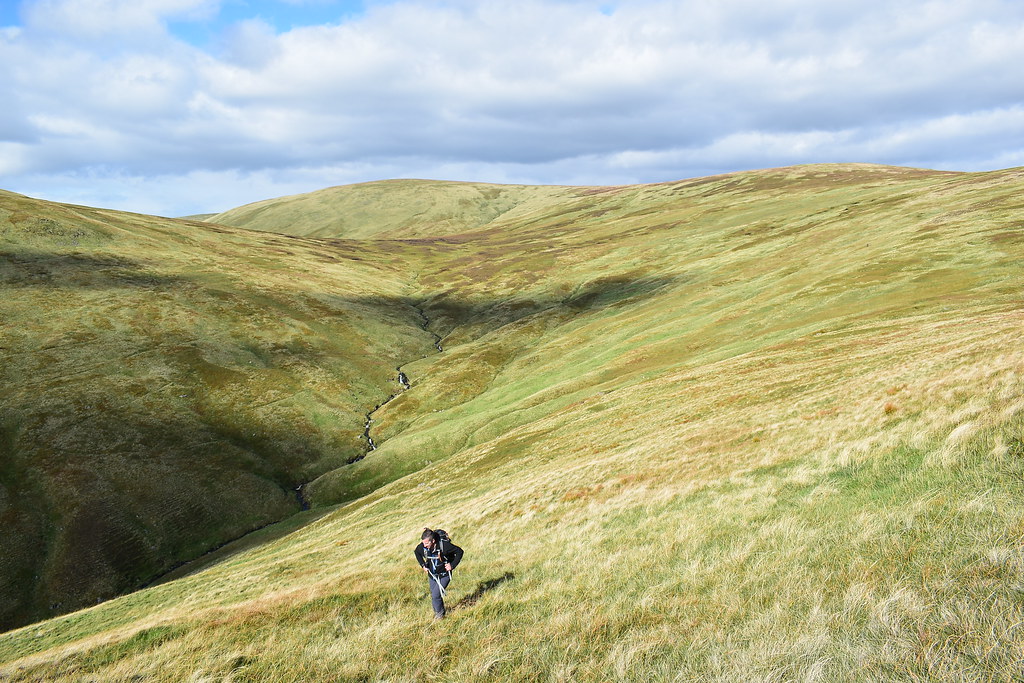
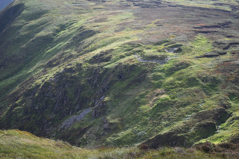
The Walkhighlands route has a zig-zag path heading up the right of the Hang Burn but the gent who set off ahead of us had reached it and was going up the left side of the burn, which looked a little easier. We decided to press on up the steep slopes of Hang Gill and it was pretty brutal, steep, grassy, we even scrambled a few times on all fours!
Sometimes we thought we were on a path and it was more likely soil creep, meanwhile bracken was getting in the way and after checking it was ok moments before, I turned around to check my dodgy camera lens cover and it wasn't there, dammit... no chance i'm heading back down to find it even if it's within a few feet of me, chalk that off to an early loss, we're not off to the best start!

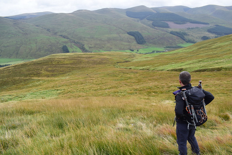
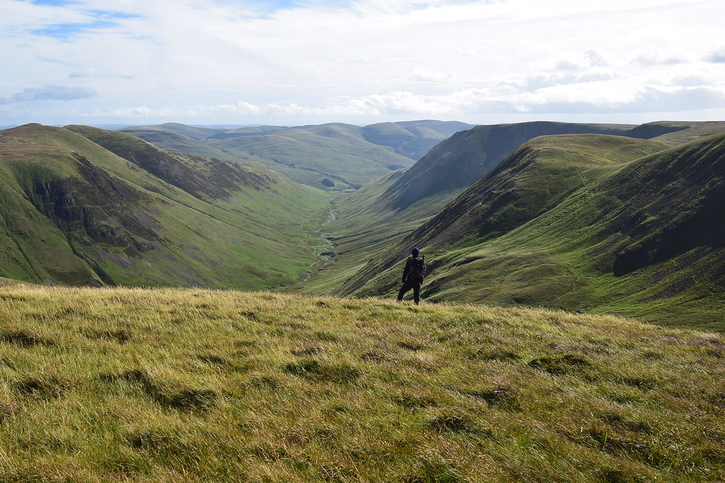
We pressed on though and it eased slightly higher up allowing for another breather. The view down:
 DSC_6302
 by
Chris Mac, on Flickr
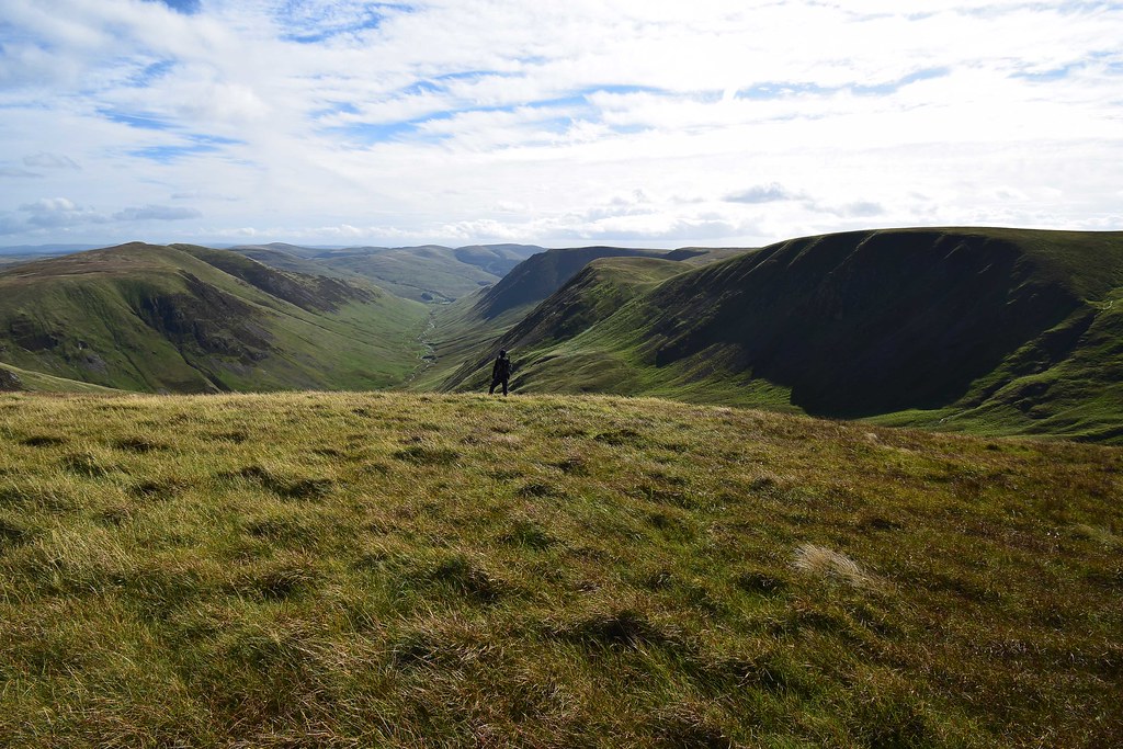
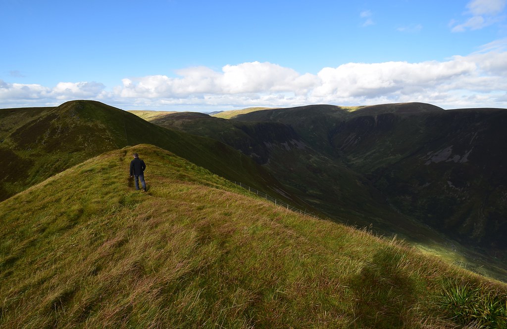
Fellow walker across the gorge, we had now caught up so our route although tougher was more direct:
 DSC_6304
 by
Chris Mac, on Flickr
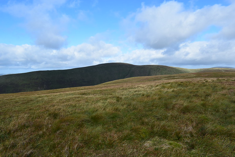
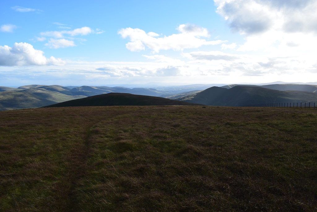
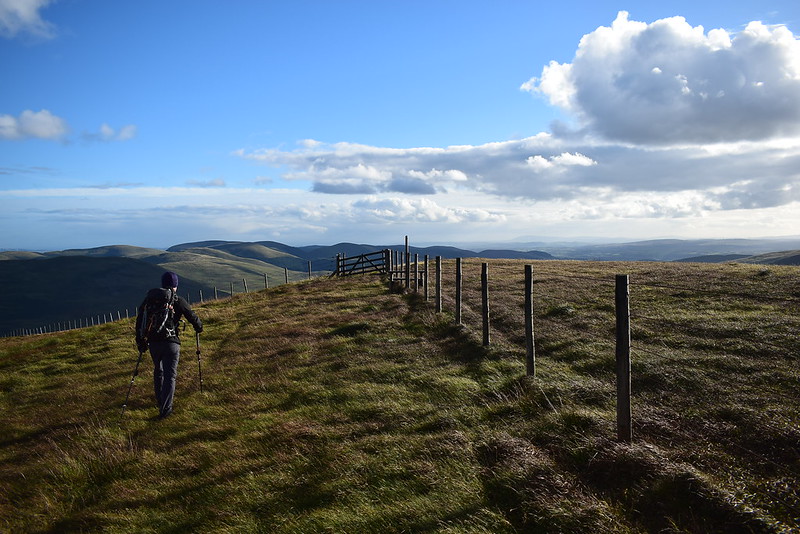
We were now on more level ground and making our way towards Black Craig:
 DSC_6309
 by
Chris Mac, on Flickr
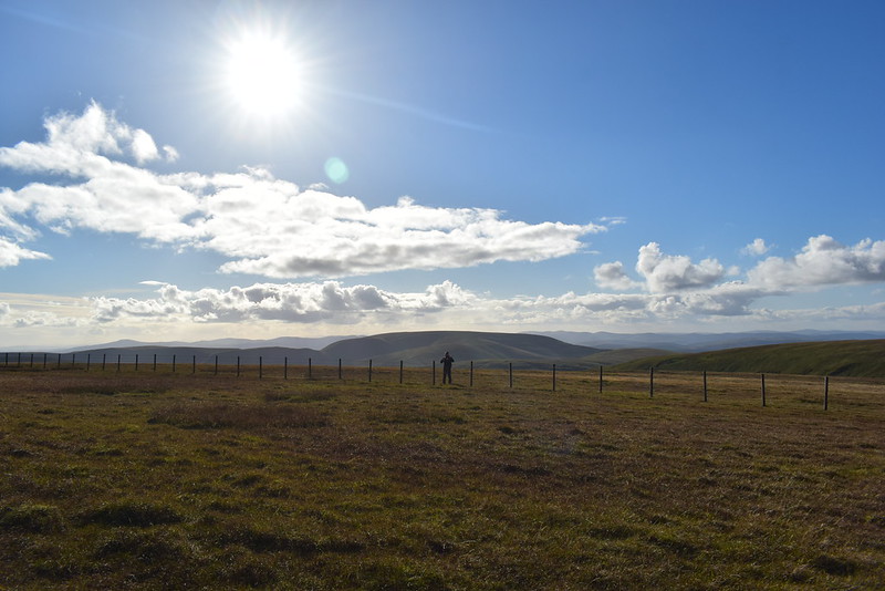
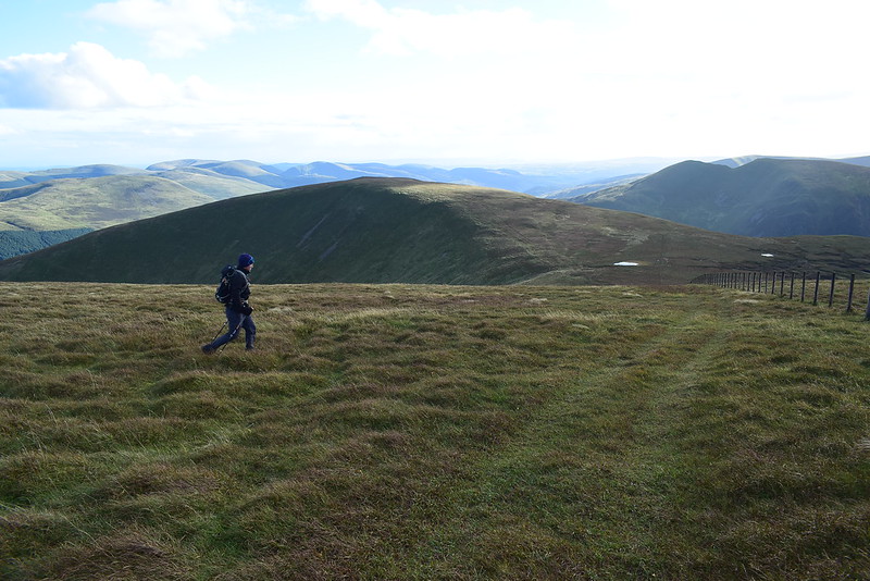
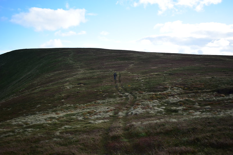
Atop Hang Gill we had spotted 3 other walkers who set off after us, they had now reached the top and the three groups were fairly evenly spaced out. We looked to be the lone walkers on these hills today and our paths would cross a few times. They had now reached the top and the lone walker was inbetween us:
 DSC_6321
 by
Chris Mac, on Flickr
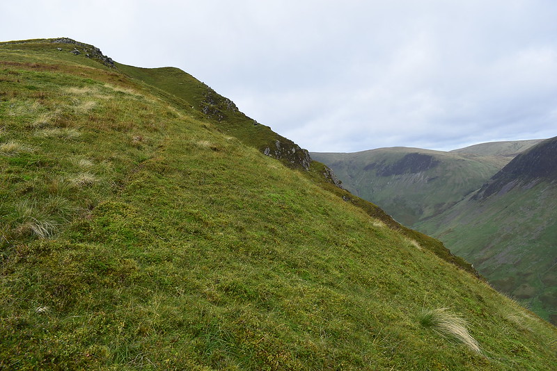
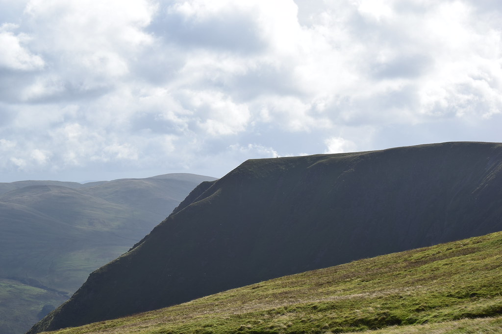
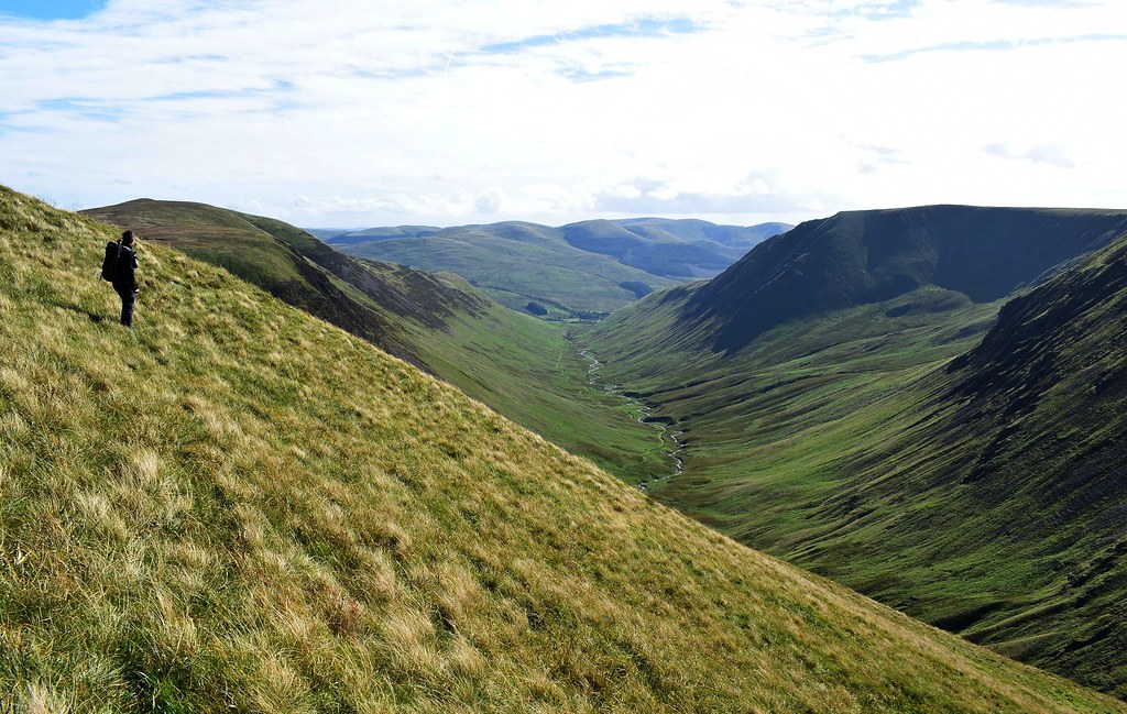
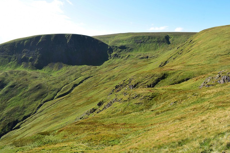
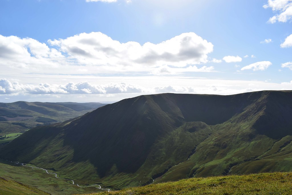
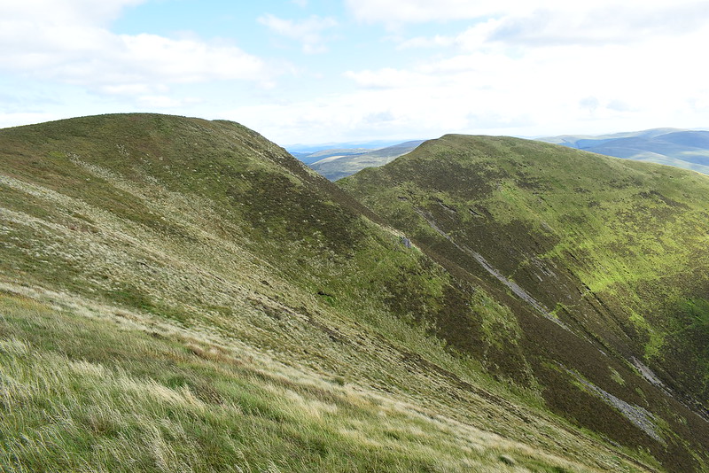
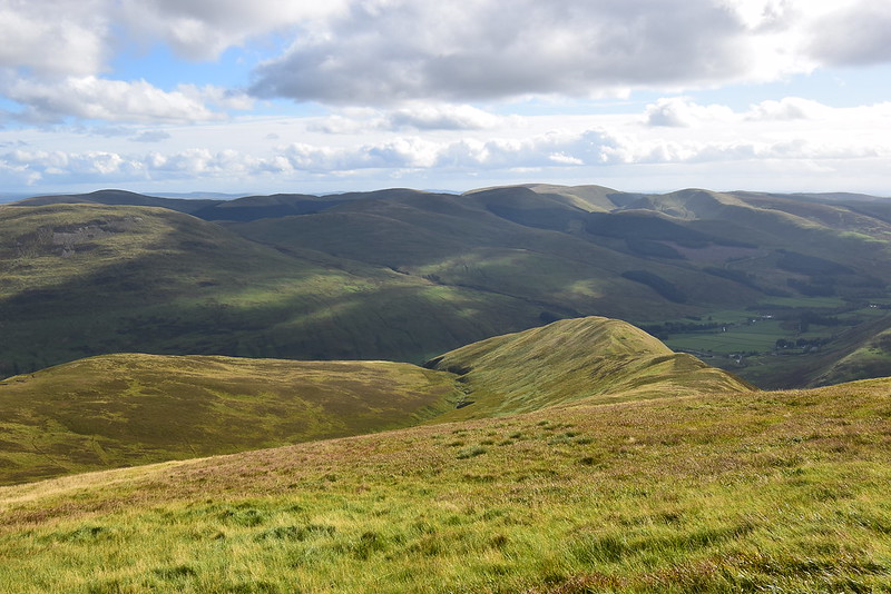
The good thing about a steep ascent is the views getting good in no time and we approached the outcrop at Black Craig, a perfect photo spot:
 DSC_6335
 by
Chris Mac, on Flickr
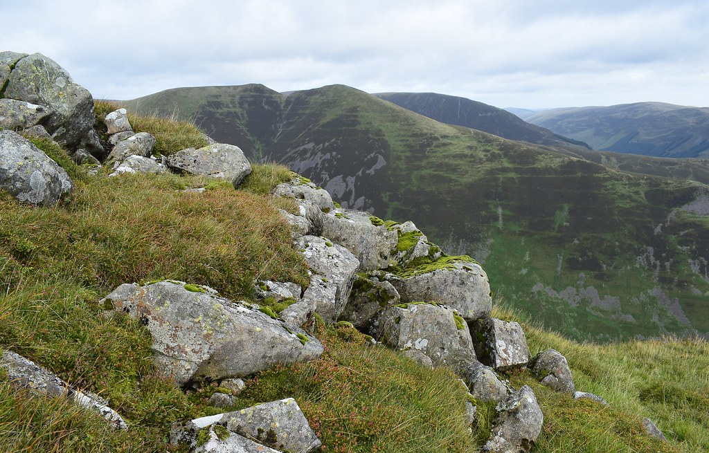
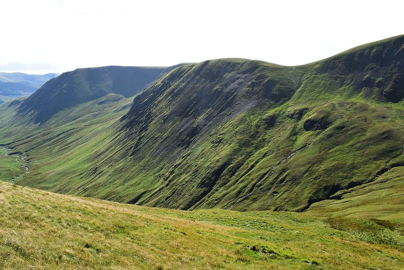
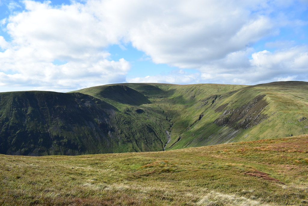
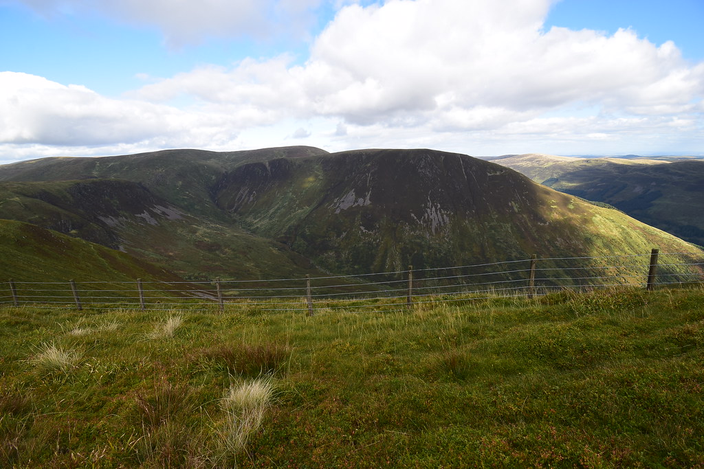
Looking across to Under Saddle Yoke, Saddle Yolk and Carrifran Gans which we would mark the middle and final peaks of the heart-shaped route we had planned:
 DSC_6341
 by
Chris Mac, on Flickr
It has to be done...

 DSC_6348
 by
Chris Mac, on Flickr
 DSC_6365
 by
Chris Mac, on Flickr
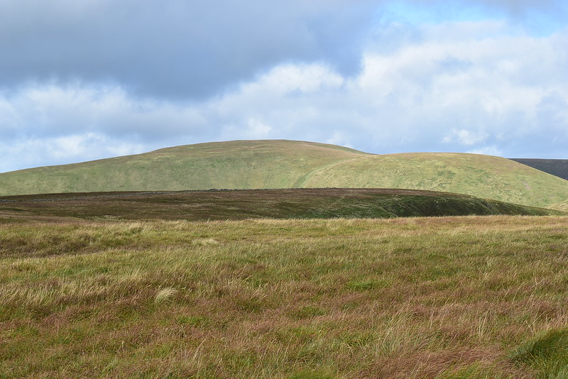
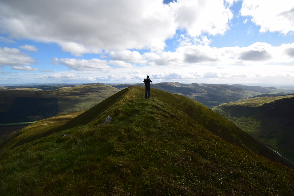
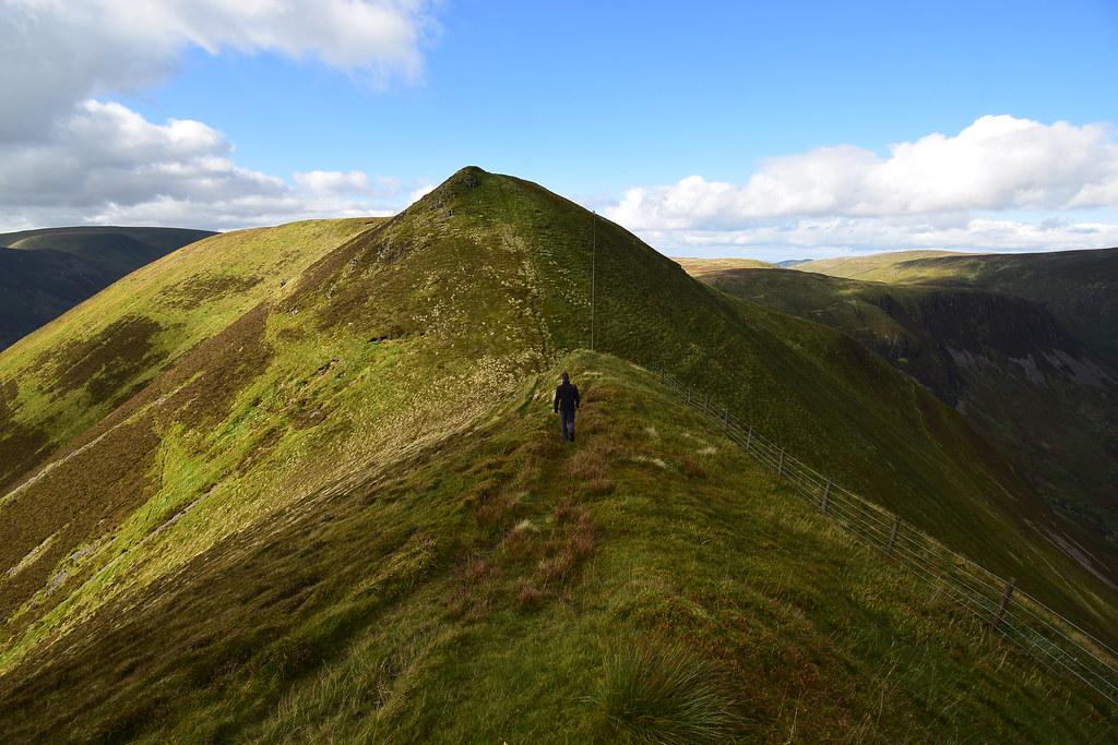
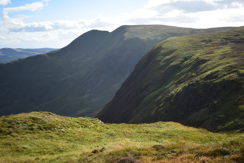
We now had sight of Corbett number 1 for the day to the north, Hart Fell:
 DSC_6377
 by
Chris Mac, on Flickr
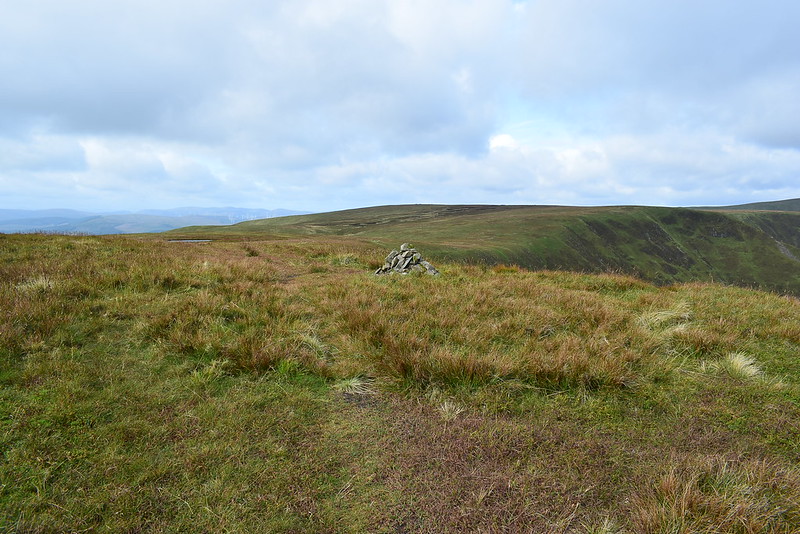
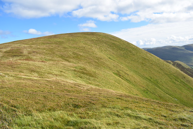
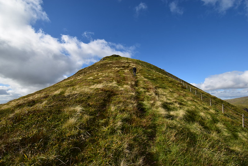
It was just a short distance to the summit of Nether Coomb Craig, Donald Top 1 done:
 DSC_6383
 by
Chris Mac, on Flickr
Summit looking towards Swatte Fell:
 DSC_6384
 by
Chris Mac, on Flickr
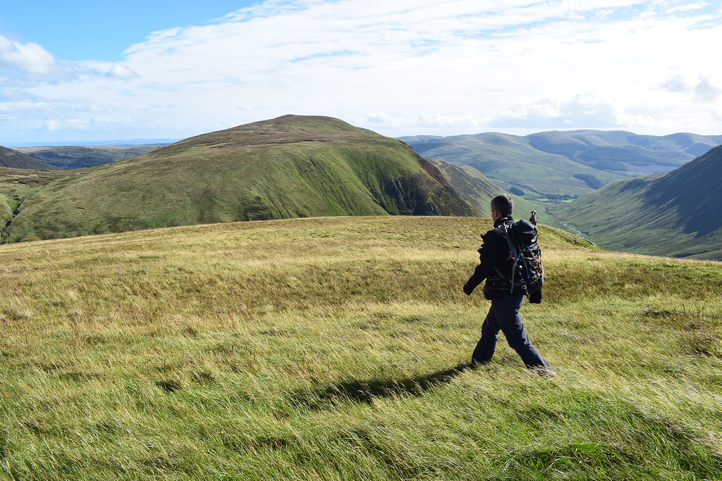
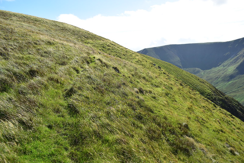
An appealing aspect of this walk and the reward for the steep initial ascent is that you then have a nice high level grassy ridge walk to enjoy although the route we had chosen would be fairly long and not always on good paths but we had a get out clause of just finishing after Saddle Yoke if we felt the need.
Heading along to Swatte Fell now, Lowther Hills in the distance:
 DSC_6389
 by
Chris Mac, on Flickr
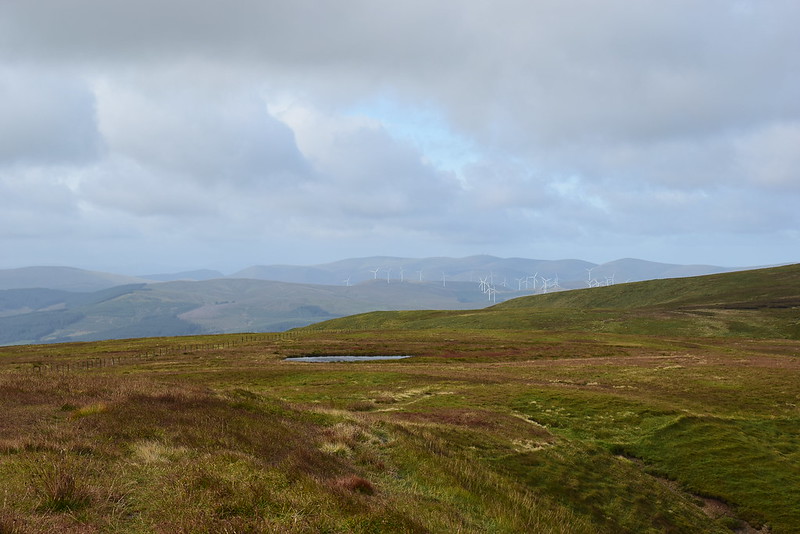
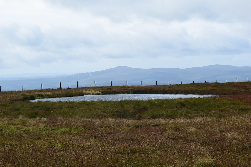
This wee lochan isn't on the OS map, maybe it's just a big puddle...? Beyond it is Queensberry to the south west, the shapely southern outlier of the Lowther range:
 DSC_6393
 by
Chris Mac, on Flickr
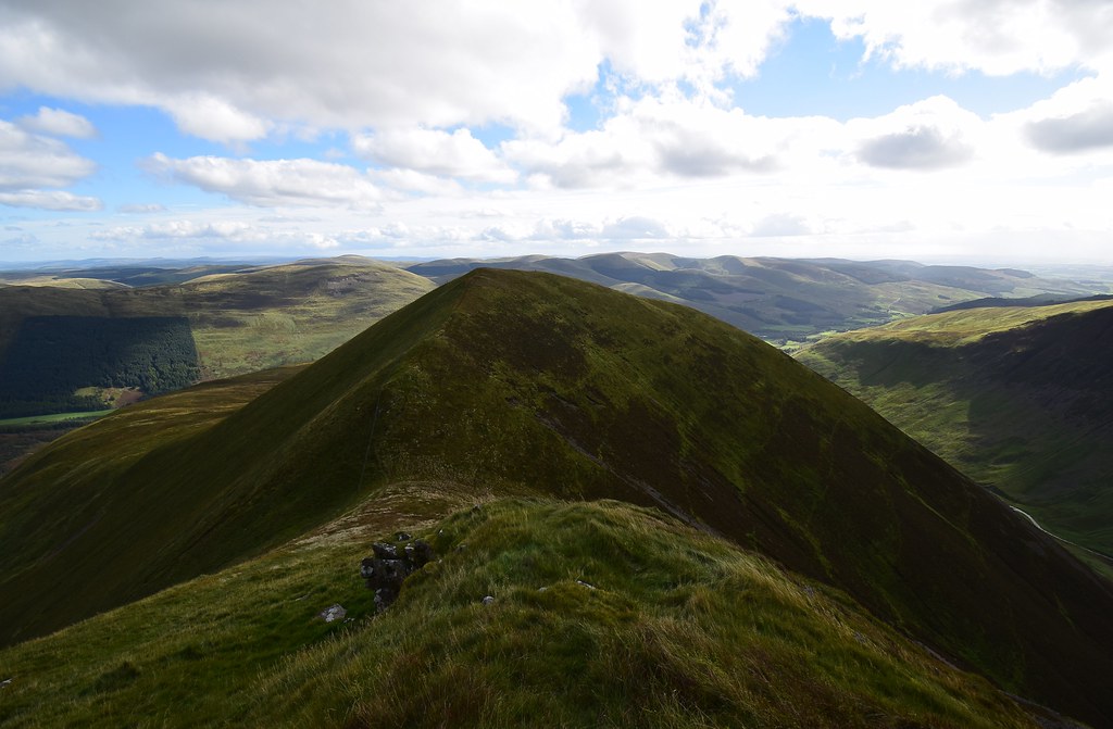
The classic shot of Swatte Fell with Hart Fell back right:
 DSC_6395
 by
Chris Mac, on Flickr
Hart Fell's broad summit:
 DSC_6399
 by
Chris Mac, on Flickr
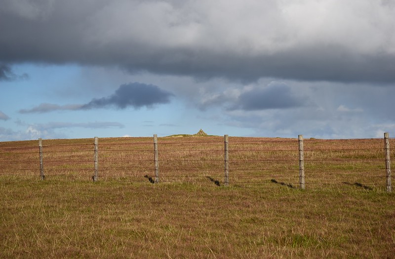
We reached the cairn of Swatte Fell, Donald number 1:
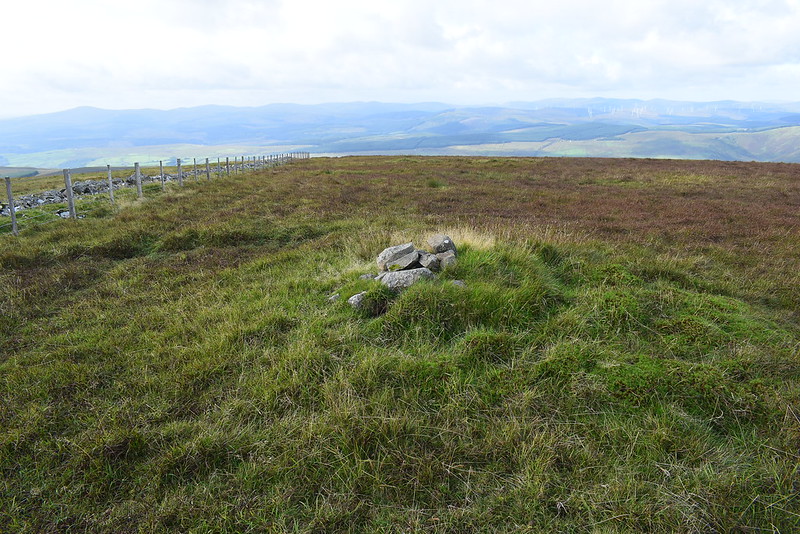 DSC_6402
 by
Chris Mac, on Flickr
We then followed the route which I had plotted to take us over the actual proper summit of Swatte Fell "Summit feature: no feature: ground a few metres from two sections of ruined wall" and this inevitably led to a discussion about summiting a large flat summit area like Swatte Fell and many others we've been on. We decide that for us, as long as you are standing on the main summit, if' it's a big round area you can claim success as long as you can't see any obvious higher point from your current position.
Lowthers:
 DSC_6406
 by
Chris Mac, on Flickr
Rain to the north:
 DSC_6408
 by
Chris Mac, on Flickr
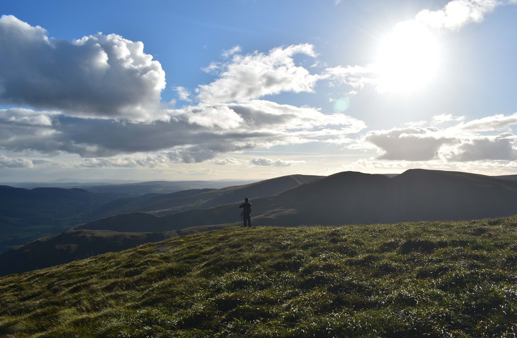
Next up, Hart Fell...
 DSC_6414
 by
Chris Mac, on Flickr
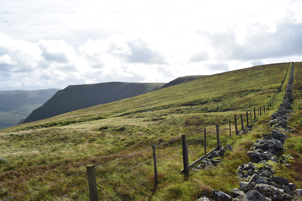
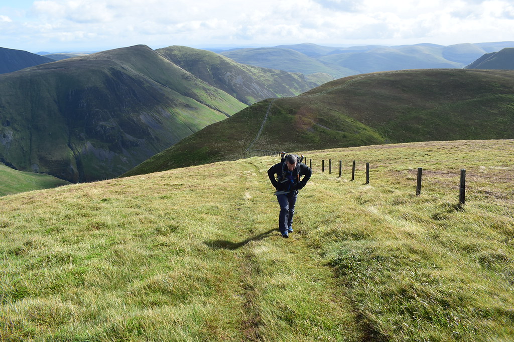
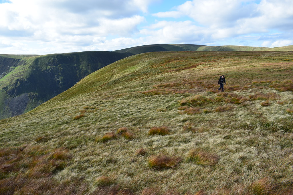
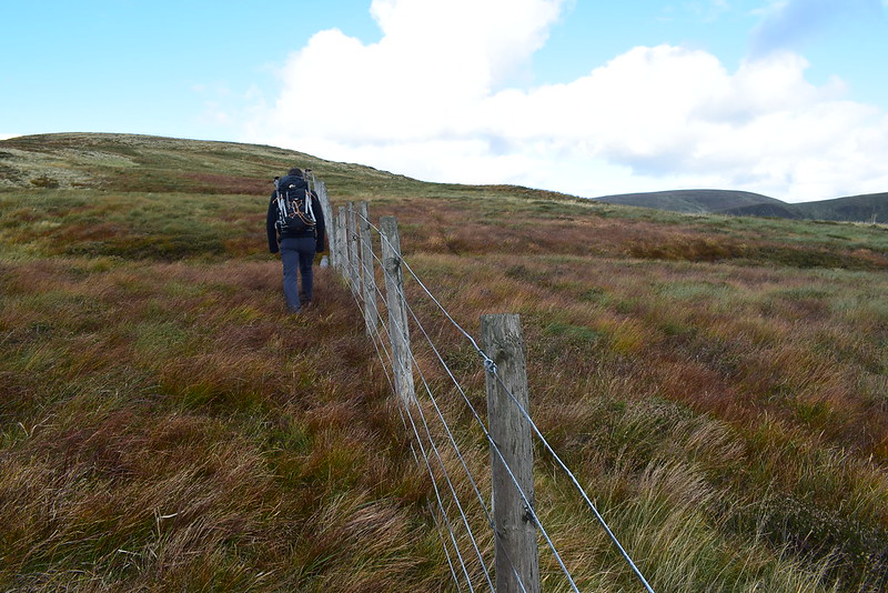
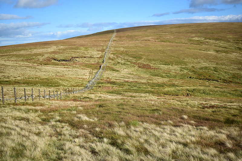
We follow the fence, good paths or quad tracks are usually on both sides for most of these hills although I tell Iain that the Ochils and Pentlands are brilliant for paths by comparison, with routes heading between every hill and top making random route taking a joy. He's yet to experience the enjoyment and views many of the smaller hills around the central belt.

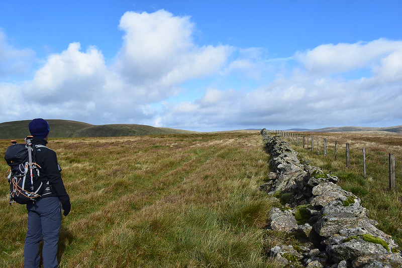 DSC_6418
 by
Chris Mac, on Flickr
We have a good view over to the rest of our route, heading left to right along the foreground hills to the two Yokes, then back and round right to left and to White Coomb mid centre in the distance:
 DSC_6459
 by
Chris Mac, on Flickr
Our 2nd Corbett target for later in the day, White Coomb:
 DSC_6460
 by
Chris Mac, on Flickr
We continue along Upper Coomb Craig, looking back we see the three walkers on Nether Coomb Craig:
 DSC_6470
 by
Chris Mac, on Flickr
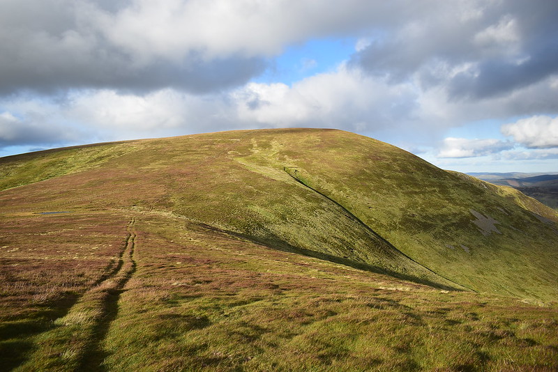
Not far behind us now, having dingey'd Swatte Fell, is the lone walker:
 DSC_6477
 by
Chris Mac, on Flickr
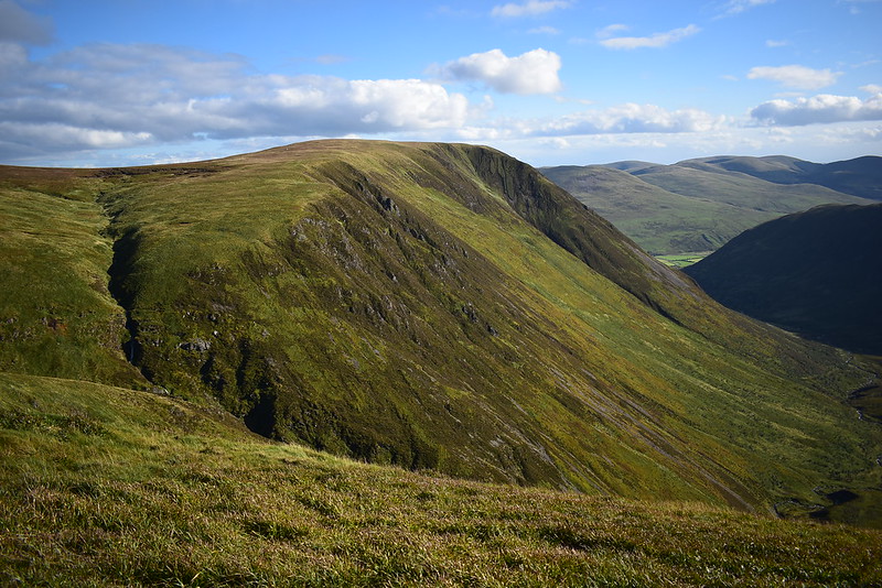
We soon reach Donald Top number 2, Falcon Craig:
 DSC_6501
 by
Chris Mac, on Flickr
From Falcon Craig it's a wee dip down then up to Hart Fell Craig:
 DSC_6515
 by
Chris Mac, on Flickr
Under Saddle Yoke, Saddle Yoke and Falcon Craig as we stride uphill, by now we're looking forward to a lunch break to refuel as it's been pretty constant so far with us only stopping for pics or a quick breather on the way:
 DSC_6516
 by
Chris Mac, on Flickr
Easy going up to the summit now...
 DSC_6519
 by
Chris Mac, on Flickr
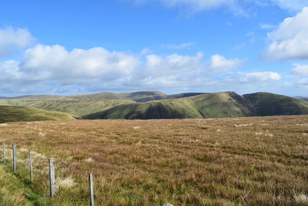
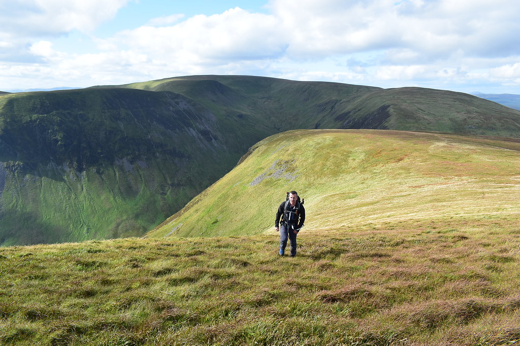
We've still got this lot to get over, going to be a long day...

 DSC_6525
 by
Chris Mac, on Flickr
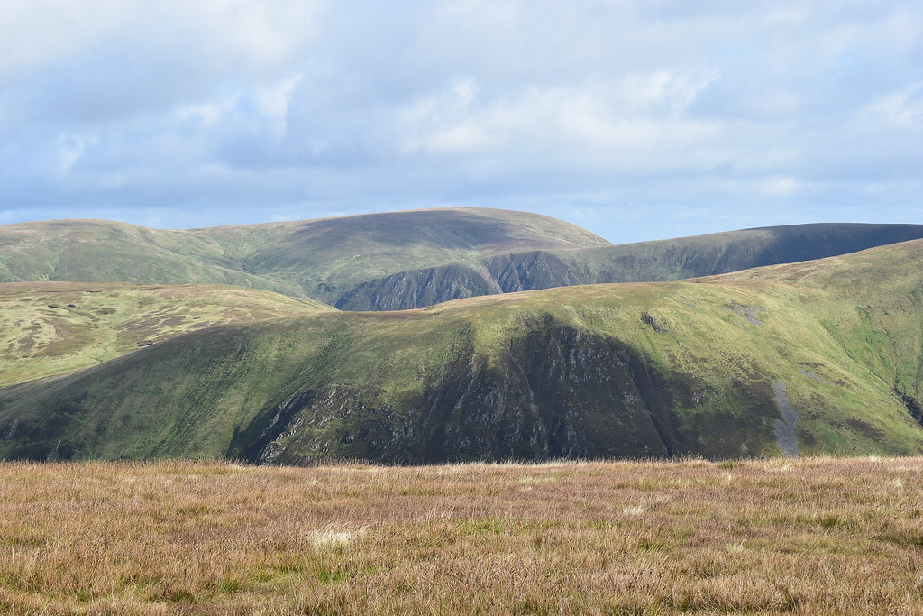
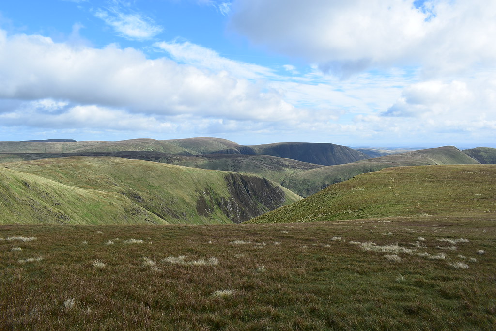
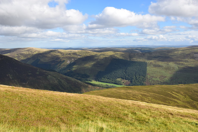
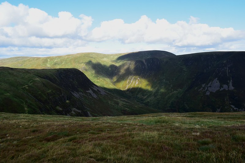
The Moffat Dale Hills directly south along with Nether Coomb Craig standing out in shadow:
 DSC_6530
 by
Chris Mac, on Flickr
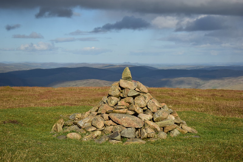
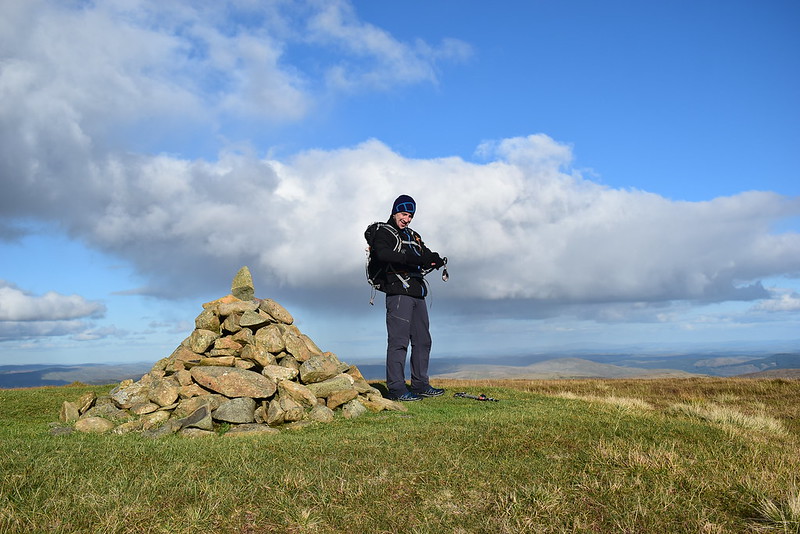
The summit cairn is soon in view and we're relieved to see a wind shelter as it had got a little breezy towards the top of my 15th Corbett, number 16 for Iain:
 DSC_6540
 by
Chris Mac, on Flickr
Tinto on the left and Culter Fell on the right behind Iain:
 DSC_6551
 by
Chris Mac, on Flickr
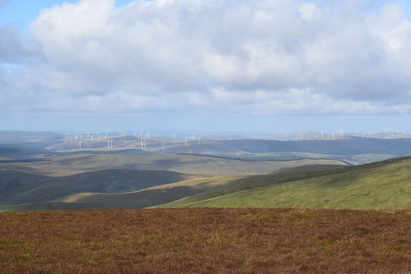
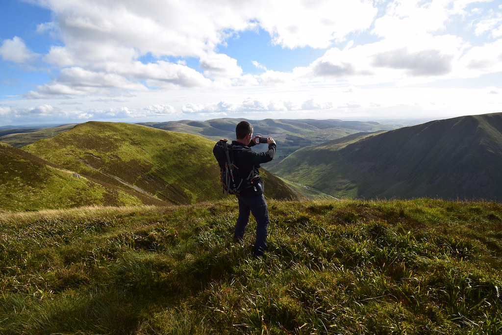
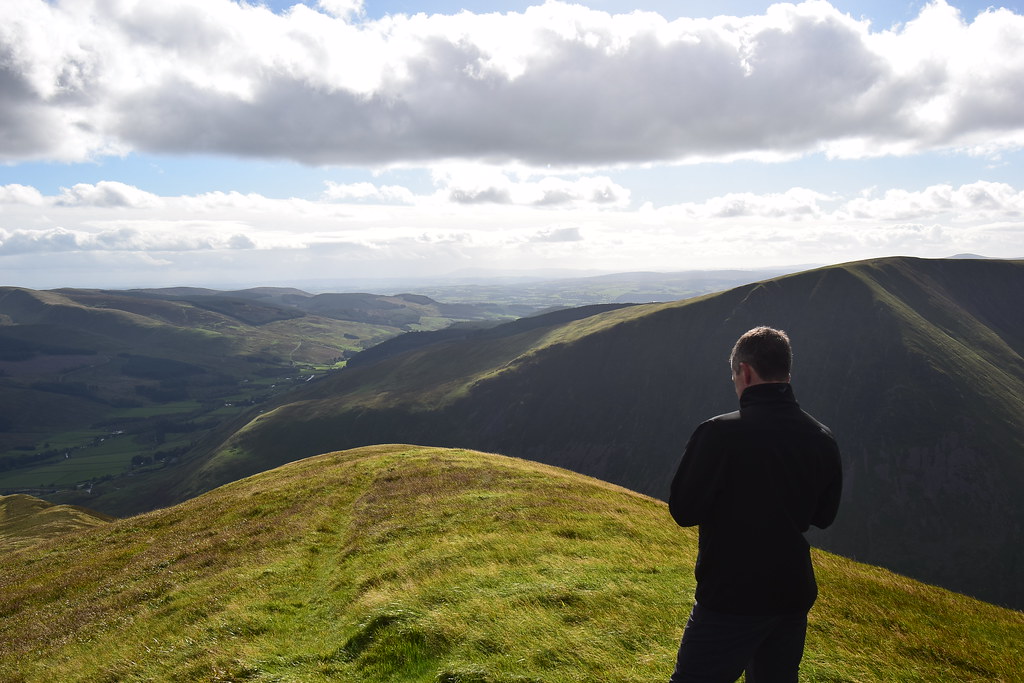
We settle down for food and I get out the big lens for a look around. First up I see the lone walker on his way to join us shortly. To the north west is Lowther Hill:
 DSC_6589
 by
Chris Mac, on Flickr
Green Lowther next door:
 DSC_6593
 by
Chris Mac, on Flickr
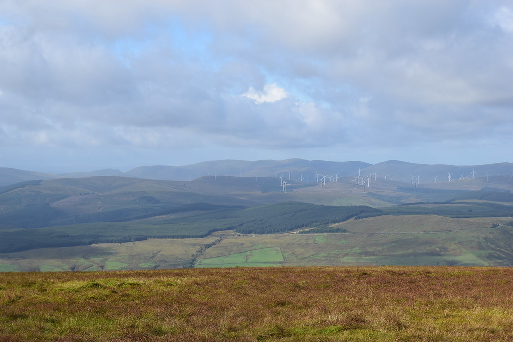
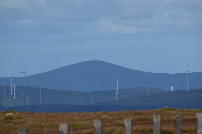
Further to the right and in the distrance I spot Cairn Table and tell Iain it's a good one for him and the kids to get up since it's so local for us. It's also one of the highest Marilyns, only 16m off Graham height:
 DSC_6601
 by
Chris Mac, on Flickr
Tinto Hill to the NNW:
 DSC_6609
 by
Chris Mac, on Flickr
Tinto's huge summit cairn, visible from 16 miles away:
 DSC_6612
 by
Chris Mac, on Flickr
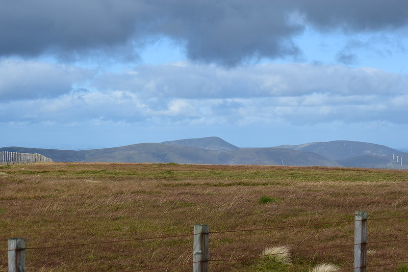
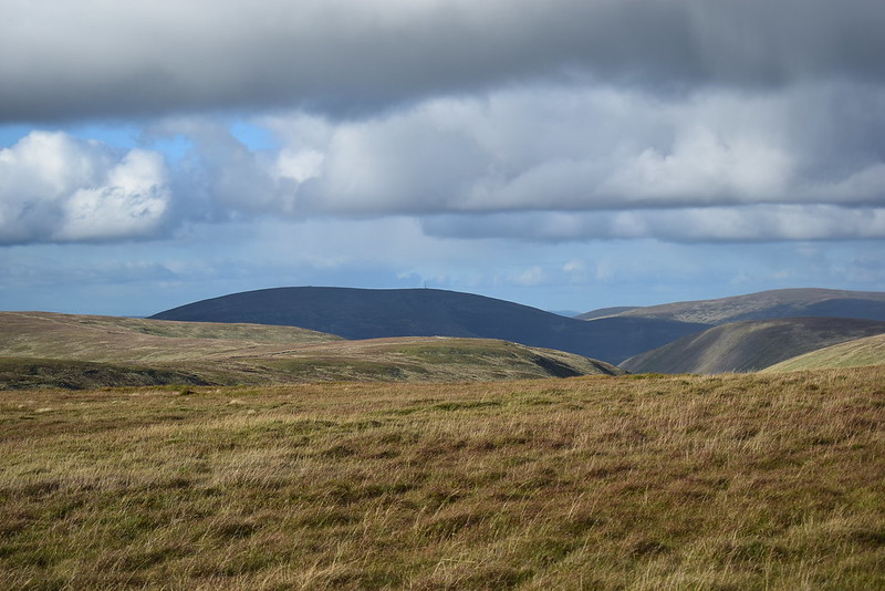
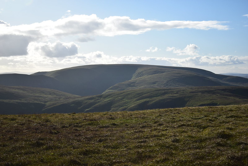
Culter Fell, both these hills owe me a good view day so I might have to get up them again at some point this winter...
 DSC_6617
 by
Chris Mac, on Flickr
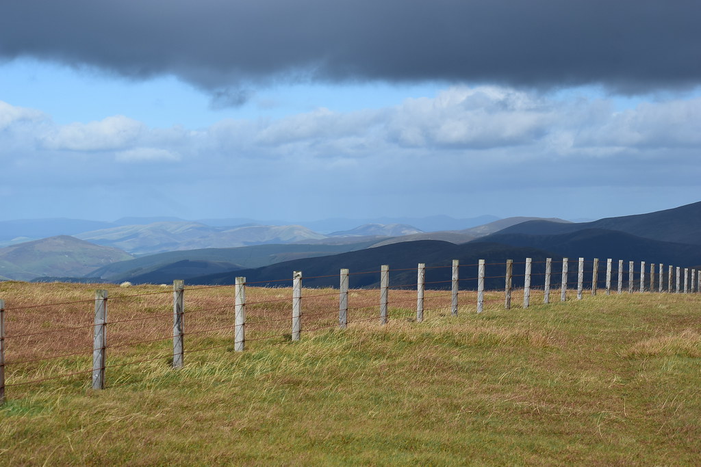
As I look around and spot Broughton Heights and the Pentlands to the north east, two ranges i've enjoyed exploring this year:
 DSC_6623
 by
Chris Mac, on Flickr
It dawns on me... Hart Fell fell is actually a bloody good viewpoint! I've seen it from countless other hills but unfortunately unless you are up close and personal, it's just a big round lump from any other viewpoint!
Broughton Heights (Pyked Stane Hill) & Trahenna Hill:
 DSC_6624
 by
Chris Mac, on Flickr
Penvalla and silhouetted in the distance are West Kip, East Kip, Scald Law and Carnethy Hill:
 DSC_6641
 by
Chris Mac, on Flickr
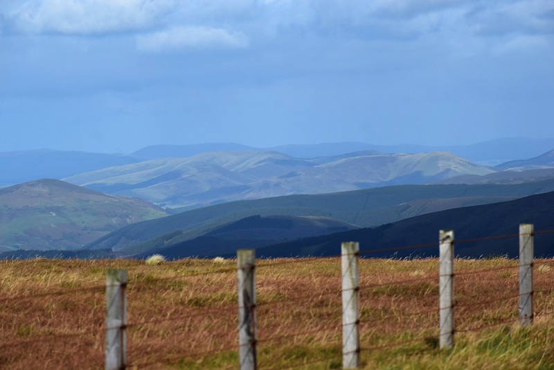
Broad Law:
 DSC_6644
 by
Chris Mac, on Flickr
I sit down and enjoy my lunch while chatting with Iain. The lone walker approaches and joins us and we get chatting, he's from Aberfeldy and has done all the Munro's and tops so we are instantly respectful of his experience and enjoy a good blether about walks, hills and more.
We spotted the group of three walkers at the rear approaching as we packed up to make our way towards the two Yokes. Our Aberfeldy friend was just doing the normal Hart Fell horseshoe and wished us well for our longer adventure.
Just as we set off we chatted briefly with the other walkers who were also doing the horseshoe, best to boost and give them the room, we also had a lot more walking ahead of us.... Iain didn't realise quite how much at this point!

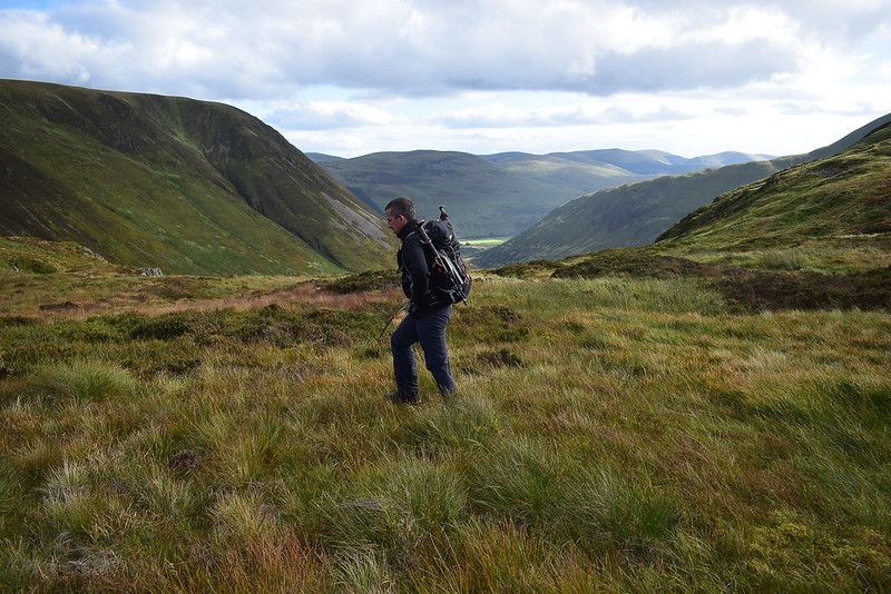
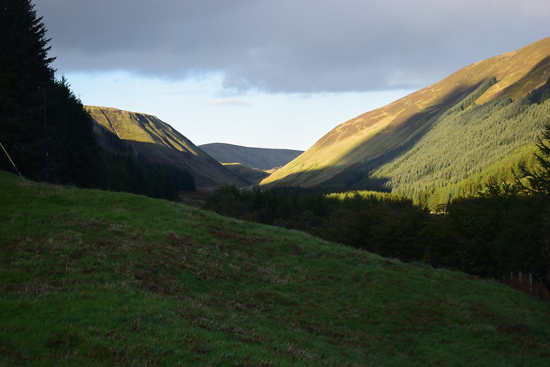
We made our way east towards Hartfell Rig, Black Hope looking very impressive with its steep flanks. Iain agreed, he was loving his first proper adventure in the Southern Uplands not counting Tinto, at the moment anyway...
 DSC_6655
 by
Chris Mac, on Flickr
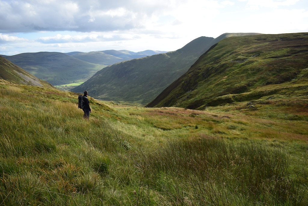
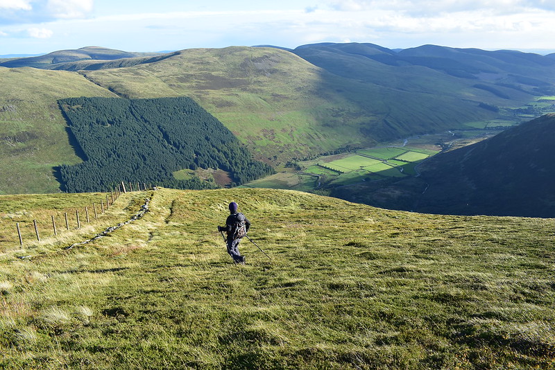
A single grassy path made a more direct route towards Saddle Crags, we took it instead of the longer route along the fence. White Coomb still looking very far off in the distance:
 DSC_6659
 by
Chris Mac, on Flickr
Nice:
 DSC_6672
 by
Chris Mac, on Flickr
 DSC_6673
 by
Chris Mac, on Flickr
The ground dipped slightly, we were absorbed by the view:
 DSC_6705
 by
Chris Mac, on Flickr
Falcon Craig:
 DSC_6706
 by
Chris Mac, on Flickr
Hartfell Craig and Hart Fell:
 DSC_6708
 by
Chris Mac, on Flickr
Our next target, Under Saddle Yolk, a fair bit of down and up to go first though...
 DSC_6716
 by
Chris Mac, on Flickr
Heading down towards Whirly Gill:
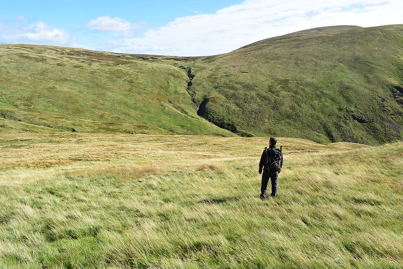 DSC_6730
 by
Chris Mac, on Flickr
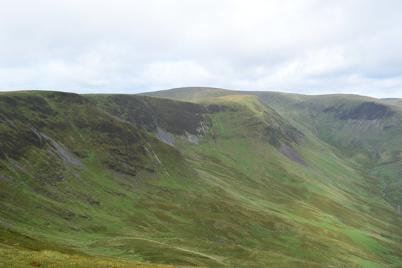
Nether Coomb Craig and Hound Bank:
 DSC_6735
 by
Chris Mac, on Flickr
We decide we'll head to where the streams join as it looks like the best place to cross the burn. We also planned to head up the left side of the burn towards the 629 point on the map...
 DSC_6739
 by
Chris Mac, on Flickr
We reach the burn at Whirly Gill, it's very scenic with lots of small waterfalls:
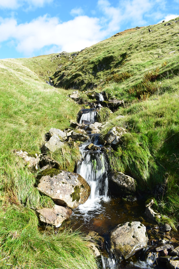 DSC_6755
 by
Chris Mac, on Flickr
We cross easily...
 DSC_6758
 by
Chris Mac, on Flickr
Instead of sticking to our plan, we pretty much head straight uphill in unison:
 DSC_6761
 by
Chris Mac, on Flickr
Looking back up to the long route between Hart Fell and Under Saddle Yoke, can you spot Aberfeldy man on our tail?
 DSC_6762
 by
Chris Mac, on Flickr
Hart Fell, the good side!
 DSC_6765
 by
Chris Mac, on Flickr
We found another single grassy path and followed it up and around, it took you more along the edge of Redgill Craig and was better for the view:
 DSC_6770
 by
Chris Mac, on Flickr
 DSC_6773
 by
Chris Mac, on Flickr
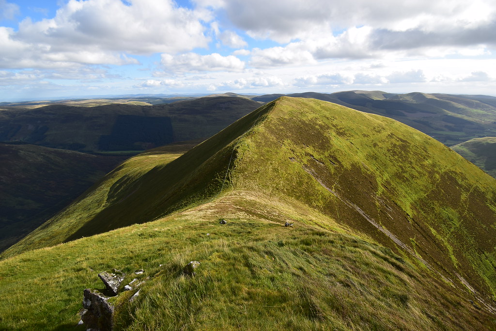
Hart Fell again, we were really enjoying the show of light and dark with the clouds and sunlight continously changing the colours, shadows and highlights:
 DSC_6779
 by
Chris Mac, on Flickr
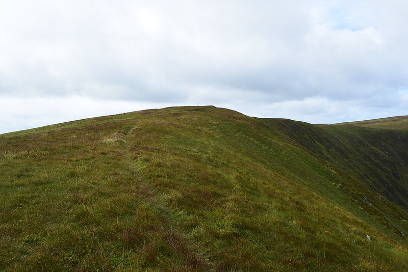
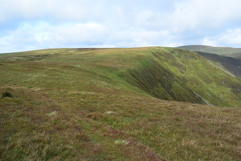
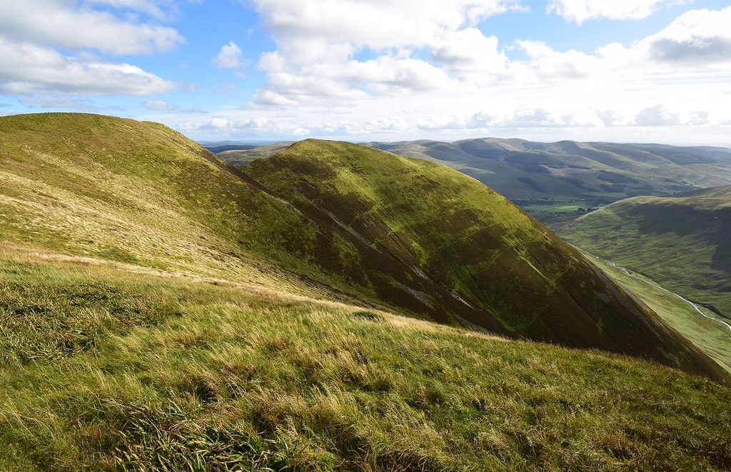
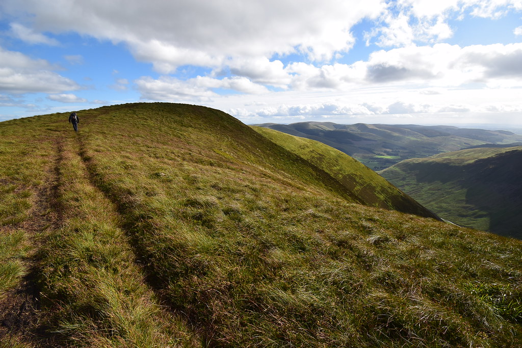
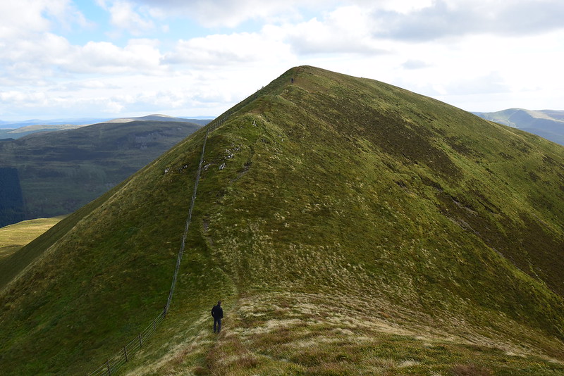
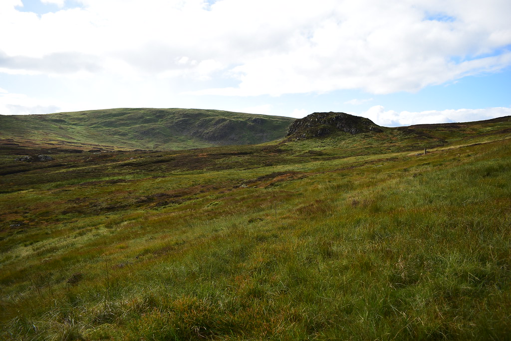
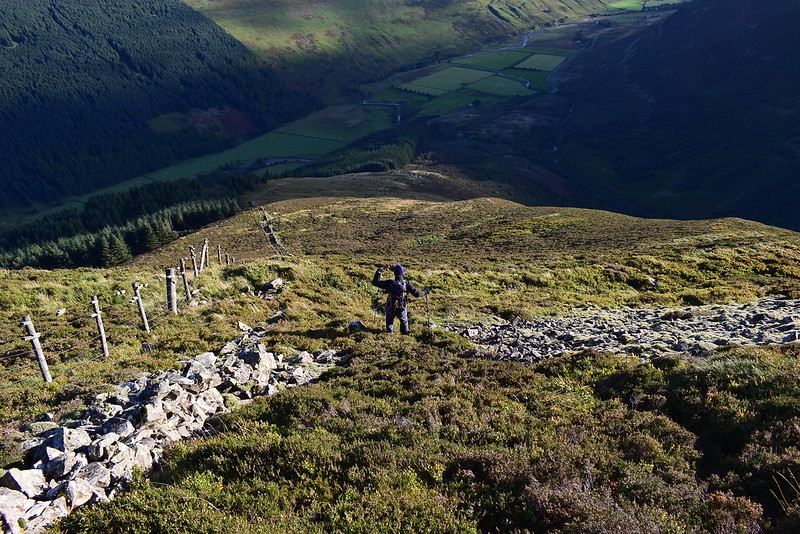
Atop Redgill Craig the going eased off on the legs with our next Donald for the day the next stop:
 DSC_6782
 by
Chris Mac, on Flickr
Nether Coomb Craig, we're finally across from it, almost at the halfway point:
 DSC_6789
 by
Chris Mac, on Flickr
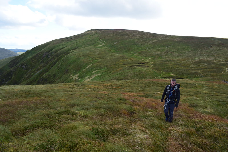
Iain was tiring a bit, unfortunately the going would be continuing this way for another four hours!
 DSC_6804
 by
Chris Mac, on Flickr
Hart Fell, a most enjoyable horseshoe:
 DSC_6806
 by
Chris Mac, on Flickr
Down behind us the lone walker was closing, Culter Fell still visible behind him:
 DSC_6809
 by
Chris Mac, on Flickr
Approaching Under Saddle Yoke summit, steep sided and pointy:
 DSC_6815
 by
Chris Mac, on Flickr
It's the perfect time to bring out the wide angle lens:
 DSC_6821
 by
Chris Mac, on Flickr
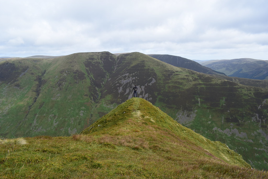
Under Saddle Yoke & Saddle Yoke:
 DSC_6825
 by
Chris Mac, on Flickr
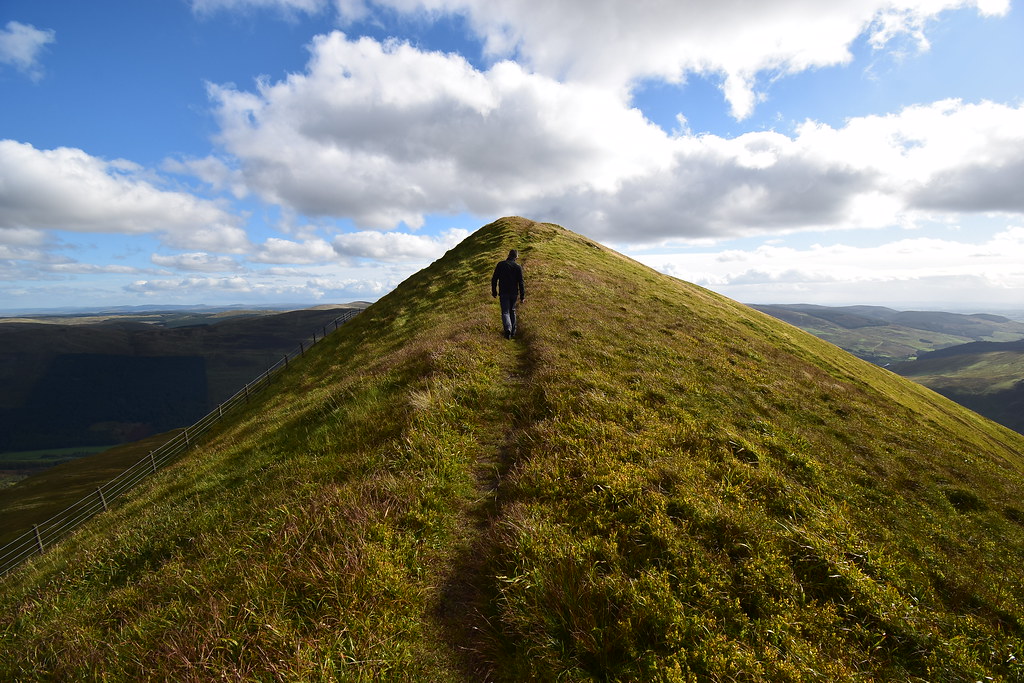
Thin ridge time!
 DSC_6829
 by
Chris Mac, on Flickr
 DSC_6836
 by
Chris Mac, on Flickr
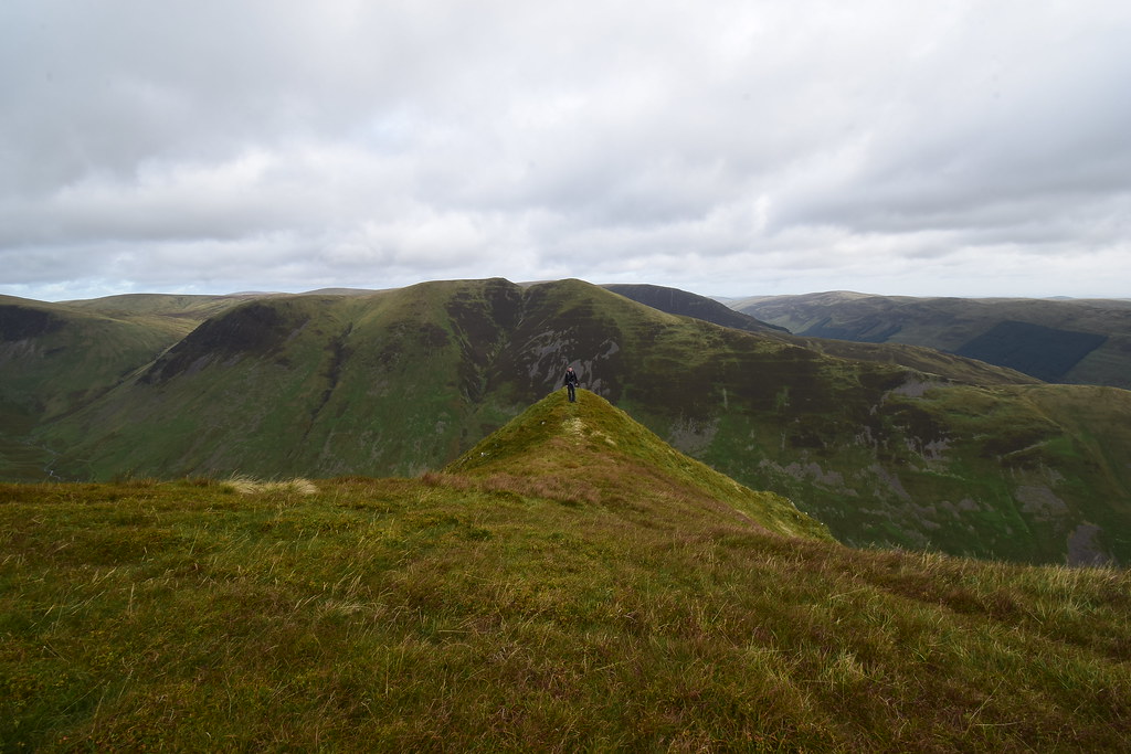
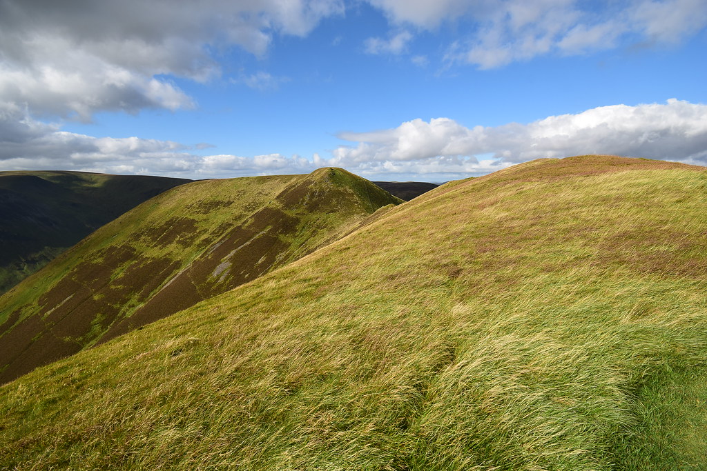
The pointier but lower Saddle Yoke, Donald Top:
 DSC_6846
 by
Chris Mac, on Flickr
We enjoy a break as Aberfeldy guy passes and says see you on Saddle Yoke:
 DSC_6857
 by
Chris Mac, on Flickr
Down and up we go...
 DSC_6862
 by
Chris Mac, on Flickr
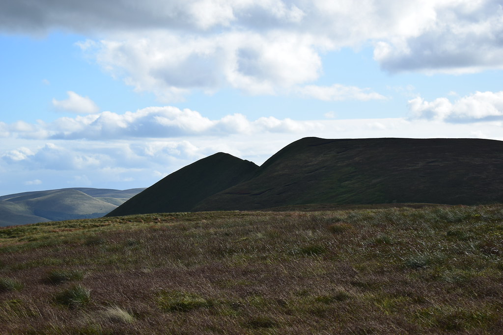
Swatte Fell with it's two tops:
 DSC_6863
 by
Chris Mac, on Flickr
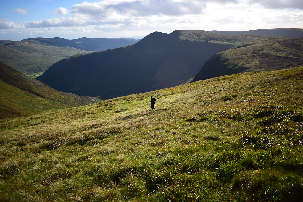
White Coomb and Carrifran Gans toi the east, we have the option to call it a day now or mark this as half way and go for a bigger day, coming down Carrifran Gans to the right, of course there is only one way this is going to go for the two of us!
 DSC_6865
 by
Chris Mac, on Flickr
Saddle Yoke:
 DSC_6868
 by
Chris Mac, on Flickr
We pass over the summit and head to the cairn for a chat, all three of us admiring the view:
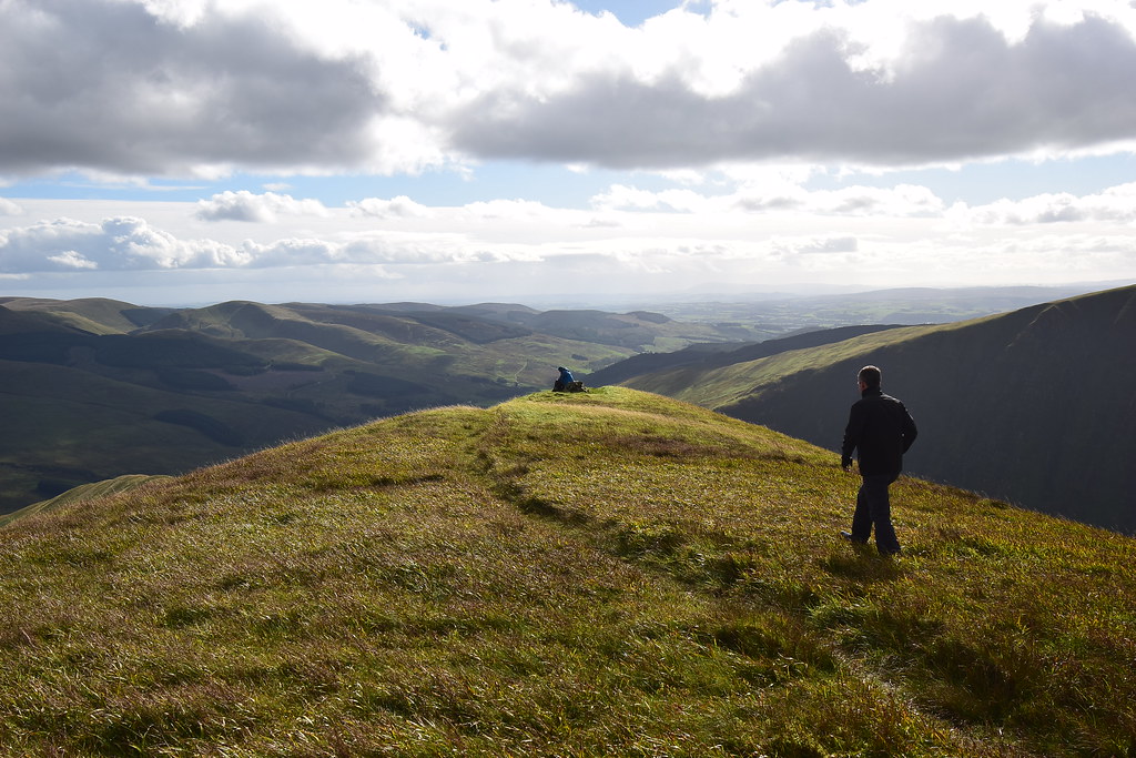 DSC_6874
 by
Chris Mac, on Flickr
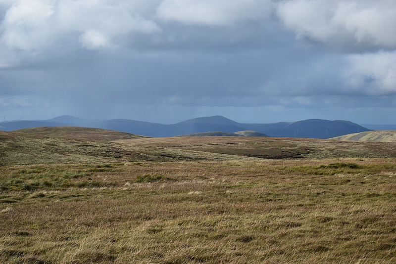
Rain south east, we're doing well to avoid it so far:
 DSC_6876
 by
Chris Mac, on Flickr
The hills of the Southern Upland Way across Moffat Dale:
 DSC_6878
 by
Chris Mac, on Flickr
Looking south east towards Galloway:
 DSC_6882
 by
Chris Mac, on Flickr
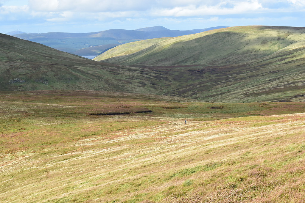
Half way and our route travelled so far:
 DSC_6885
 by
Chris Mac, on Flickr
We finish chatting and wish our friend well, he does the same and says he doesn't fancy extending the walk as we're about to do, making us even more determined to go against the grain and go for the two Corbetts in one shot, we like an adventure!
 DSC_6888
 by
Chris Mac, on Flickr
At half way with our new route and second half of the heart shaped horseshoe ahead of us:
 DSC_6890
 by
Chris Mac, on Flickr
Under Saddle Yoke:
 DSC_6897
 by
Chris Mac, on Flickr
Down and up again...
 DSC_6902
 by
Chris Mac, on Flickr
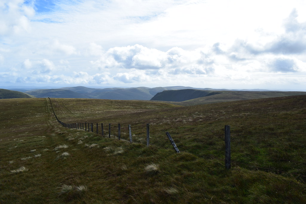
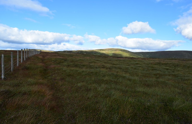
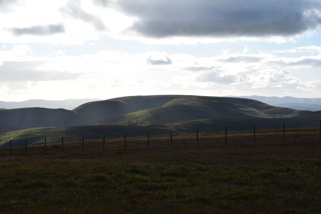
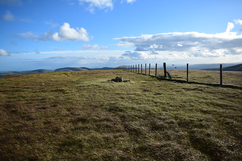
It's now a case of follow the fence east:
 DSC_6911
 by
Chris Mac, on Flickr
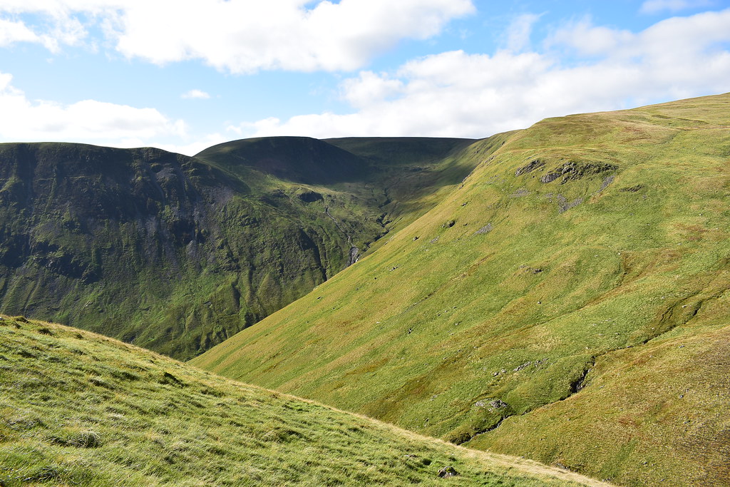
Firthhope Burn waterfalls:
 DSC_6913
 by
Chris Mac, on Flickr
Trudge trudge along the single grassy path, I comment on it still being miles better than the descent off of Misty Law!
 DSC_6916
 by
Chris Mac, on Flickr
 DSC_6920
 by
Chris Mac, on Flickr
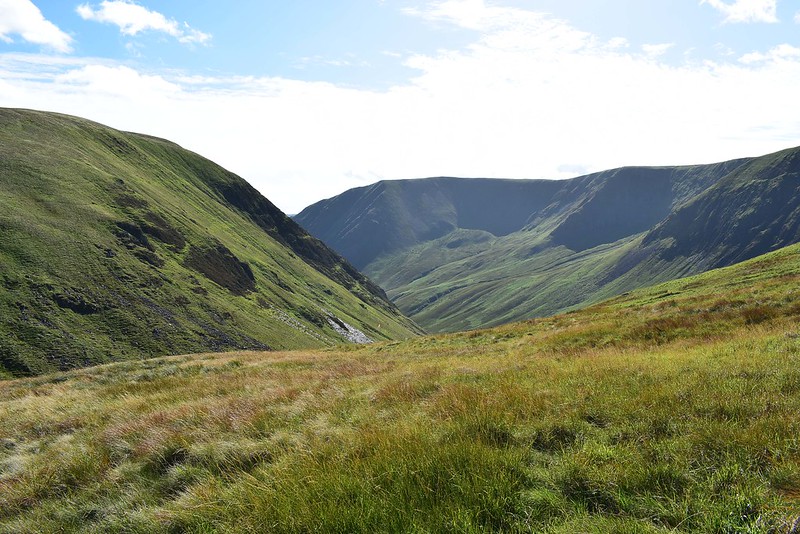
Heading towards Firthhope Rig now:
 DSC_6934
 by
Chris Mac, on Flickr
Cape Law from the 687 point on the map above Raven Craig, at the fences and junction we head right down to Rotten Bottom
 DSC_6935
 by
Chris Mac, on Flickr
Getting there...
 DSC_6938
 by
Chris Mac, on Flickr
Looking back at the two Yokes in shadow:
 DSC_6944
 by
Chris Mac, on Flickr
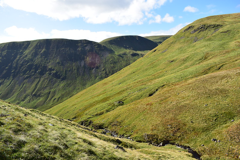
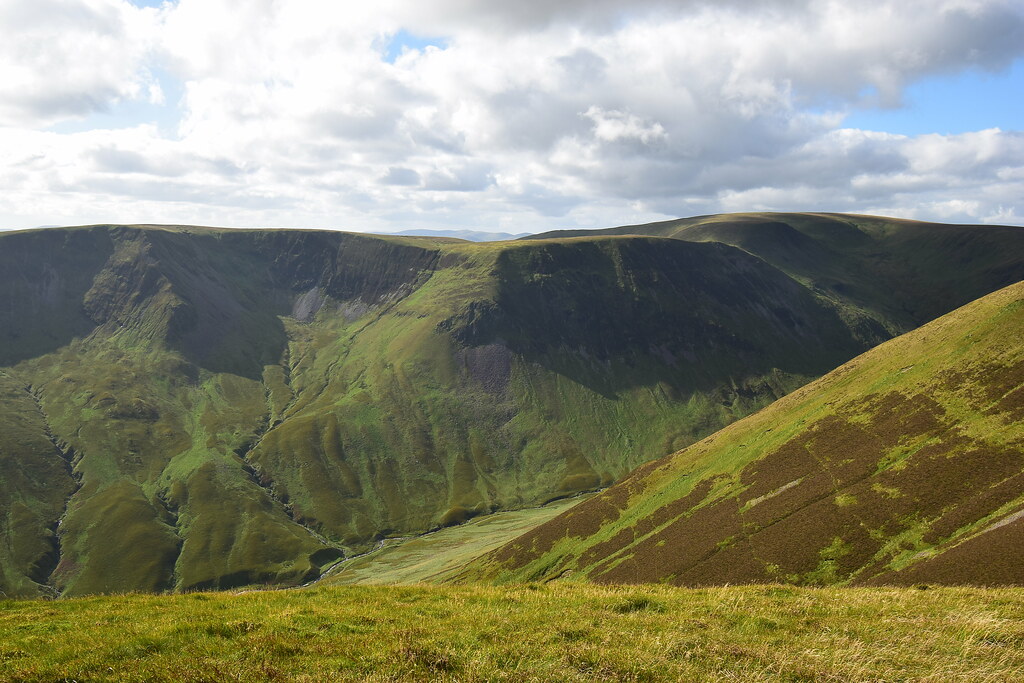
Rotten Bottom, Games Castle (the rocky ourcrop) and Firthhope Rig:
 DSC_6945
 by
Chris Mac, on Flickr
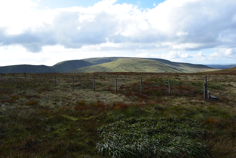
At this point Iain questioned if this is a normal route between the two corbetts, I say it's not but that there should be grassy paths between them or at least along the fences according to some maps. We start heading along the fence where there is indeed a faint grassy route towards Games Castle but then it veers right and we continue along, now heading more directly towards White Coomb:
 DSC_6949
 by
Chris Mac, on Flickr
We continue on, deciding to just go direct again:
 DSC_6952
 by
Chris Mac, on Flickr
 DSC_6957
 by
Chris Mac, on Flickr
I enjoyed this part of the walk, it's one that most people doing on horseshoe for Hart Fell and the other for White Coomb will normally miss:
 DSC_6962
 by
Chris Mac, on Flickr
Games Castle on our left, I kind of wanted to play around on it but our route took us away from it, maybe another time:
 DSC_6965
 by
Chris Mac, on Flickr
We were both a bit tired now and decided to have a wee break half way up the ascent of Firthhope Rig and enjoy an energy snack and the view. Back behind us is a cave, another feature to explore some other time:
 DSC_6981
 by
Chris Mac, on Flickr
The two Yokes, look good from almost any angle:
 DSC_6986
 by
Chris Mac, on Flickr
We continue on uphill and it's safe to say Iain wasn't enjoying another grassy ascent! Looking over to our final Donald Top Carrifran Gans:
 DSC_6998
 by
Chris Mac, on Flickr
 DSC_7001
 by
Chris Mac, on Flickr
We had decided to head for Firthhope Rig to stay high level instead of dropping down and up again with the true direct route. Now on level ground again and to the north Tinto and co. are being hit by rain although it is a line of clouds clearly extending north west to south east and missing us completely, convenient:
 DSC_7023
 by
Chris Mac, on Flickr
We make it to Firthhope Rig, not long to go now:
 DSC_7026
 by
Chris Mac, on Flickr
Broad Law in shadow:
 DSC_7037
 by
Chris Mac, on Flickr
The going would get easy now for the final pull up to the summit of White Coomb:
 DSC_7041
 by
Chris Mac, on Flickr
 DSC_7043
 by
Chris Mac, on Flickr
Still dodging the rain...
 DSC_7051
 by
Chris Mac, on Flickr
 DSC_7053
 by
Chris Mac, on Flickr
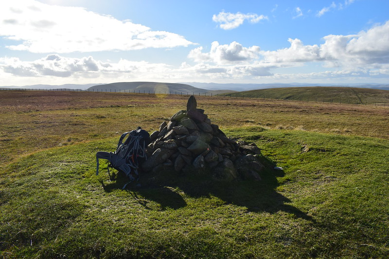
After a short ascent the summit cairn comes into view:
 DSC_7056
 by
Chris Mac, on Flickr
We cross the fence and look back towards Hart Fell and the setting sun:
 DSC_7058
 by
Chris Mac, on Flickr
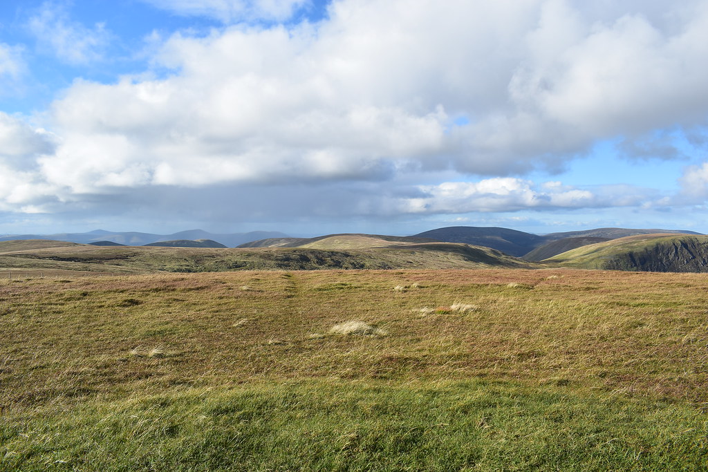
Although another broad round "Meall-esque" summit, White Coomb is an excellent viewpoint and the Eildon Hills take centre stage to the south east:
 DSC_7069
 by
Chris Mac, on Flickr
Looking north again:
 DSC_7075
 by
Chris Mac, on Flickr
Tinto, Culter Fell and Broad Law:
 DSC_7081
 by
Chris Mac, on Flickr
South:
 DSC_7092
 by
Chris Mac, on Flickr
We enjoy another break and chat about the view:
 DSC_7096
 by
Chris Mac, on Flickr
It's time to set off again...
 DSC_7108
 by
Chris Mac, on Flickr
We deploy our poles as going by the route we've planned we have a steep descent to deal with, one much steeper than we realised!
 DSC_7120
 by
Chris Mac, on Flickr
Heading SWW now:
 DSC_7128
 by
Chris Mac, on Flickr
To the west Hart Fell is looking lovely in the evening light:
 DSC_7131
 by
Chris Mac, on Flickr
Just our final top Carrifran Gans to summit now with a n ice easy down and up:
 DSC_7133
 by
Chris Mac, on Flickr
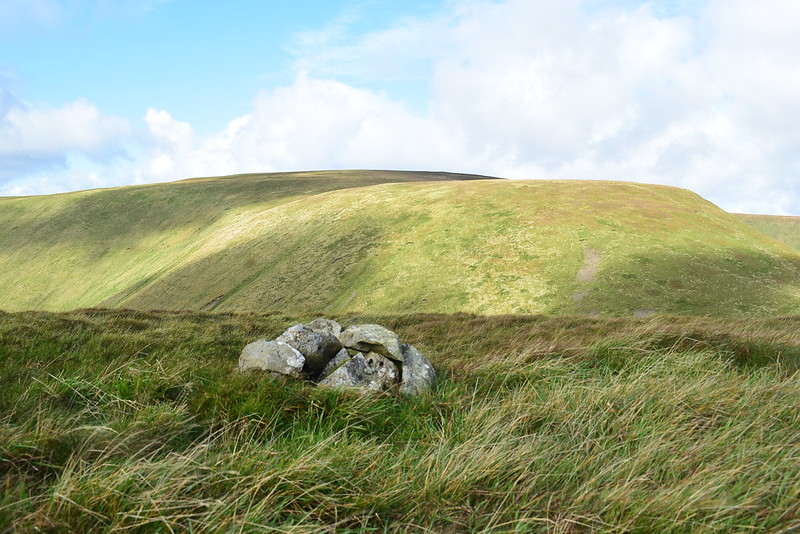
On the way along the grassy quad track we spot some slime and investigate it, Star Jelly apparently...
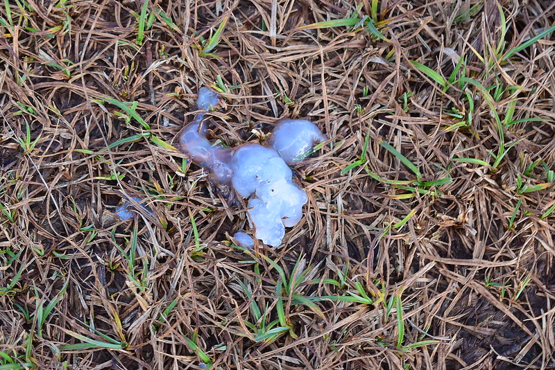 DSC_7139
 by
Chris Mac, on Flickr
I doubt it is from a meteorite finding the regurgitated frog explanation to be the most sensible but the jury is still out and Star Jelly is still being found on our hills.
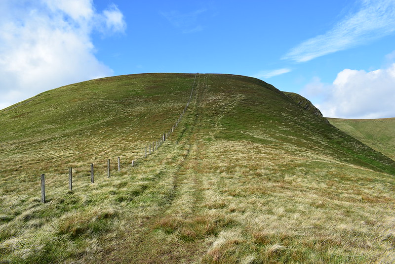
Almost there...
 DSC_7146
 by
Chris Mac, on Flickr
Looking back on a sunlit White Coomb:
 DSC_7147
 by
Chris Mac, on Flickr
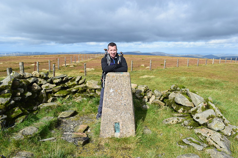
Made it:
 DSC_7154
 by
Chris Mac, on Flickr
Hart Fell, well worth a visit:
 DSC_7157
 by
Chris Mac, on Flickr
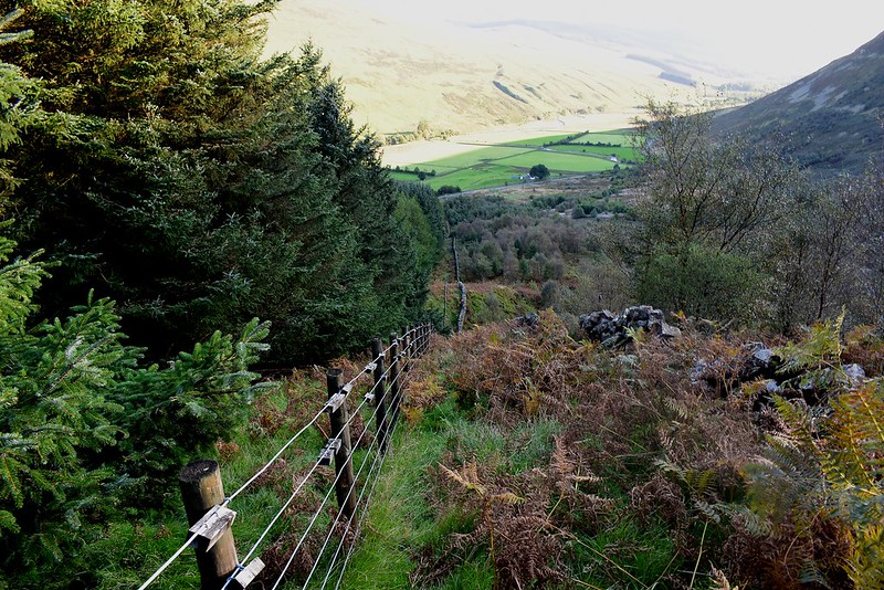
We follow the path to a stile and start heading down the right side of the fence:
 DSC_7159
 by
Chris Mac, on Flickr
Visibility is excellent now and the sunlight is making the final descent very scenic:
 DSC_7173
 by
Chris Mac, on Flickr
About to hit the really steep section...
 DSC_7181
 by
Chris Mac, on Flickr
This part even catches me by surprise and I check the OS map contours again, convinced they should be much closer together for this part!

 DSC_7197
 by
Chris Mac, on Flickr
Iain's not enjoying it but the poles are helping, as is the faint but rocky path alongside the fence, which we use all the way down for extra support and balance. We question why anyone would ever think to ascend this way...
 DSC_7198
 by
Chris Mac, on Flickr
Down steep section number 1, we had more to go!
Our final section for the walk, down the hill to the road, along where the shadow goes to the right and around the hillside of Saddle Yoke back to the start:
 DSC_7201
 by
Chris Mac, on Flickr
It doesn't look too bad from here...
 DSC_7206
 by
Chris Mac, on Flickr
Road visible again:
 DSC_7213
 by
Chris Mac, on Flickr
This shows our steep descent a bit better and we were very surprised to see someone else going down this way:
 DSC_7238
 by
Chris Mac, on Flickr
The sunbeams were kissing hill tops:
 DSC_7240
 by
Chris Mac, on Flickr
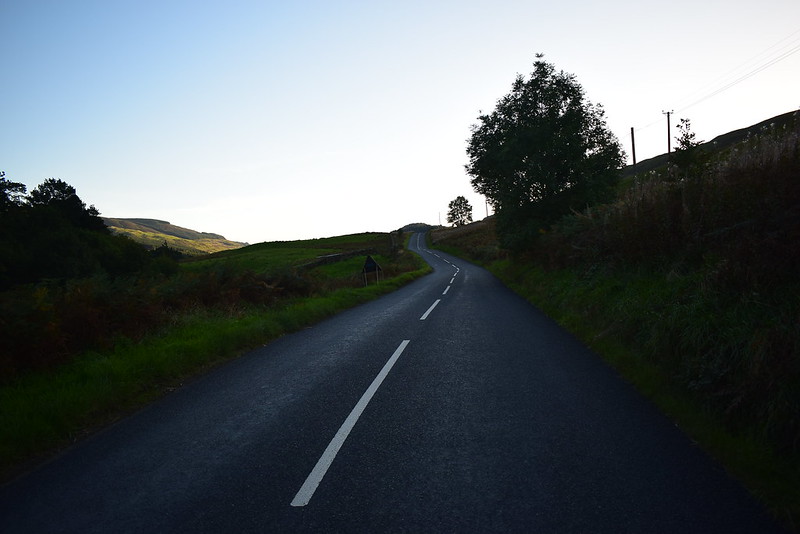
Back on tarmac at last, Iain was relieved, as was I!
 DSC_7258
 by
Chris Mac, on Flickr
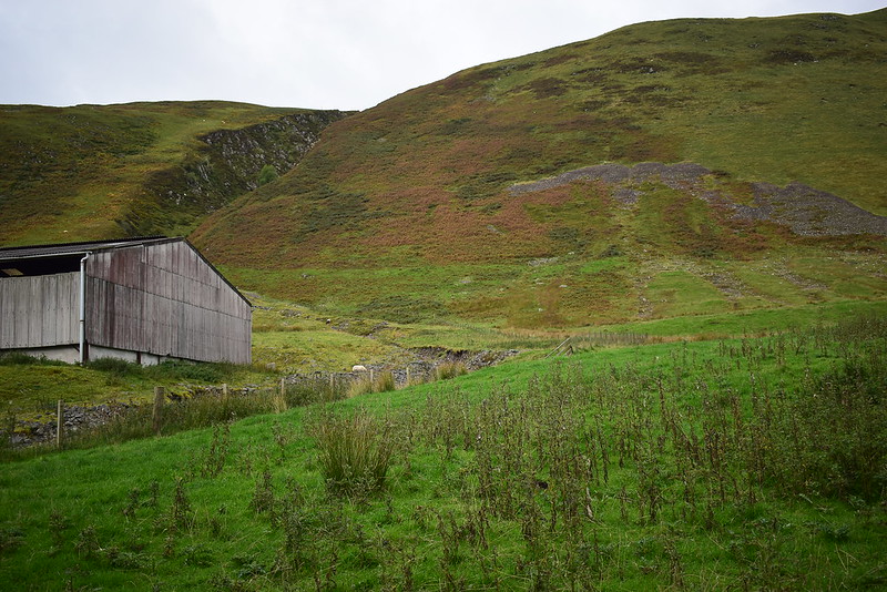
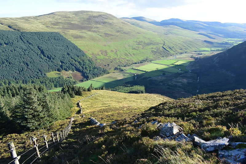
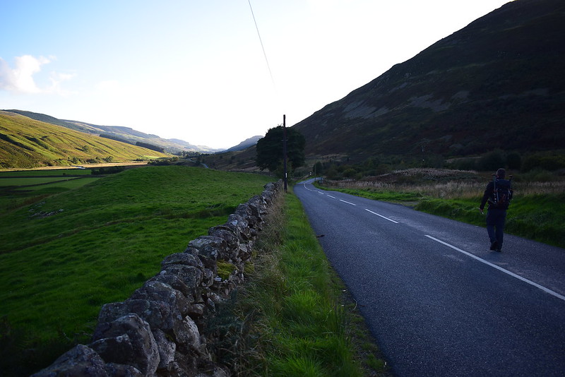
Now it was just an easy stroll along the road, country code being followed of course as Moffat Dale is a fairly busy wee road but the locals drove with care and seemed friendly as they passed.
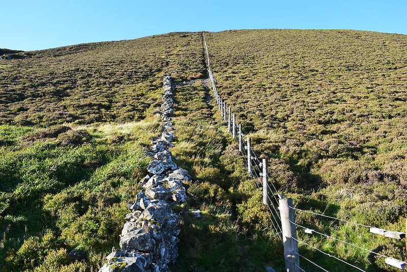
A 559m drop, 27 mins according to Naismith but it took us 50 minutes due to having to take care going slowly on a steep hillside with big boulders from the dyke to hurdle the whole way:
 DSC_7263
 by
Chris Mac, on Flickr
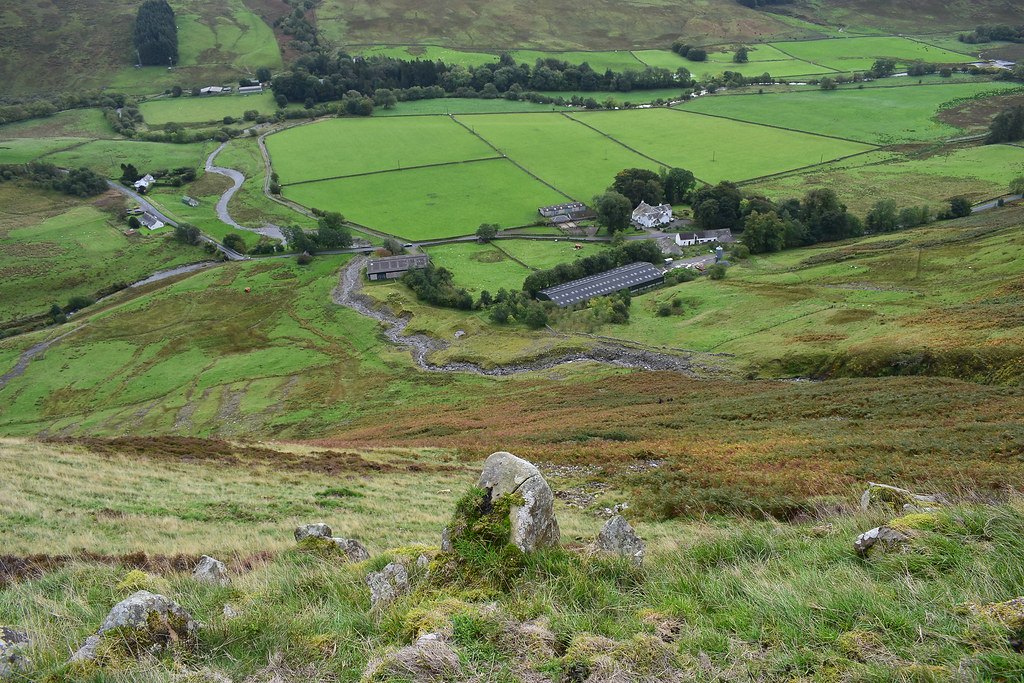
Looking down Moffat Dale:
 DSC_7264
 by
Chris Mac, on Flickr
Progress was fast along the road:
 DSC_7265
 by
Chris Mac, on Flickr
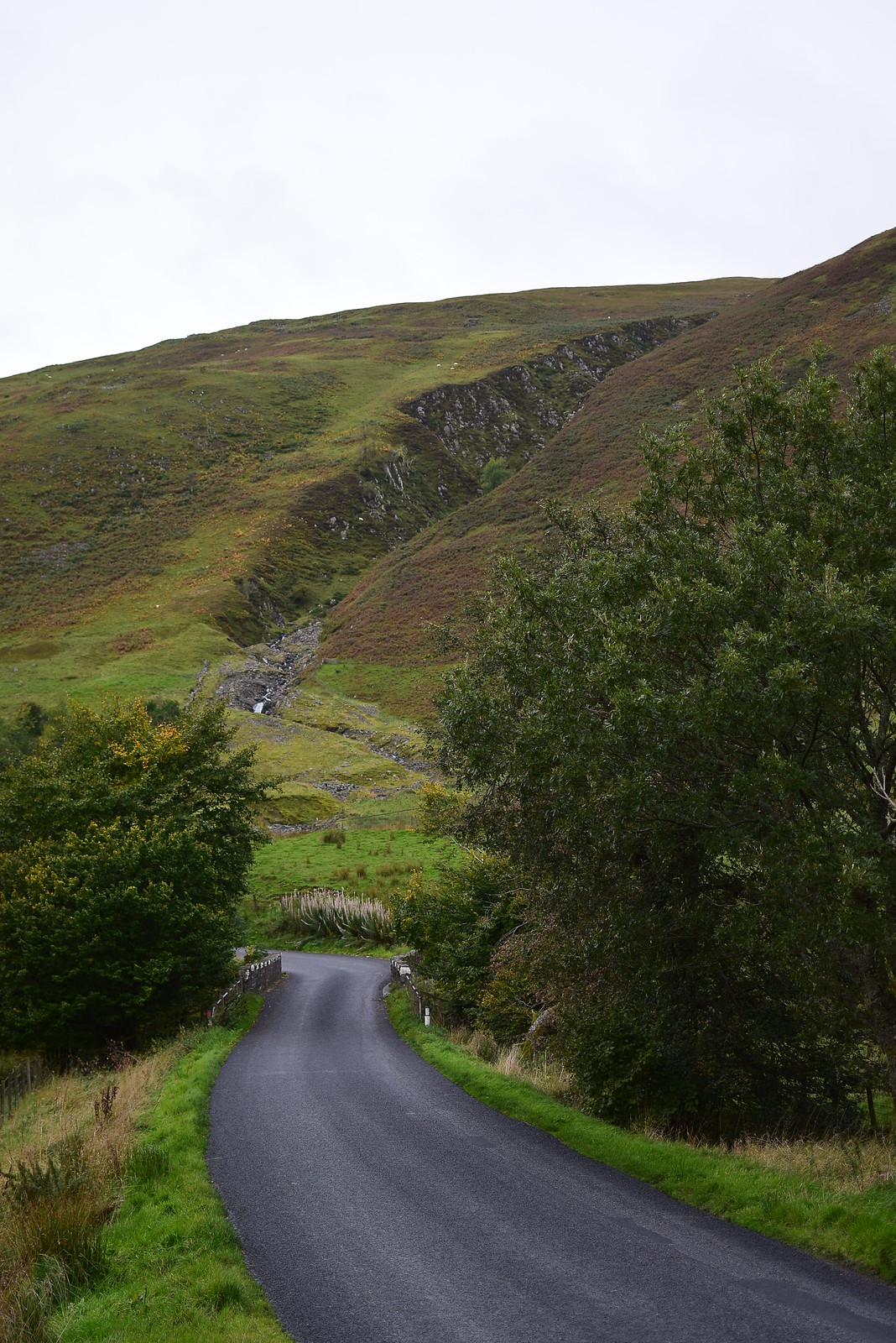
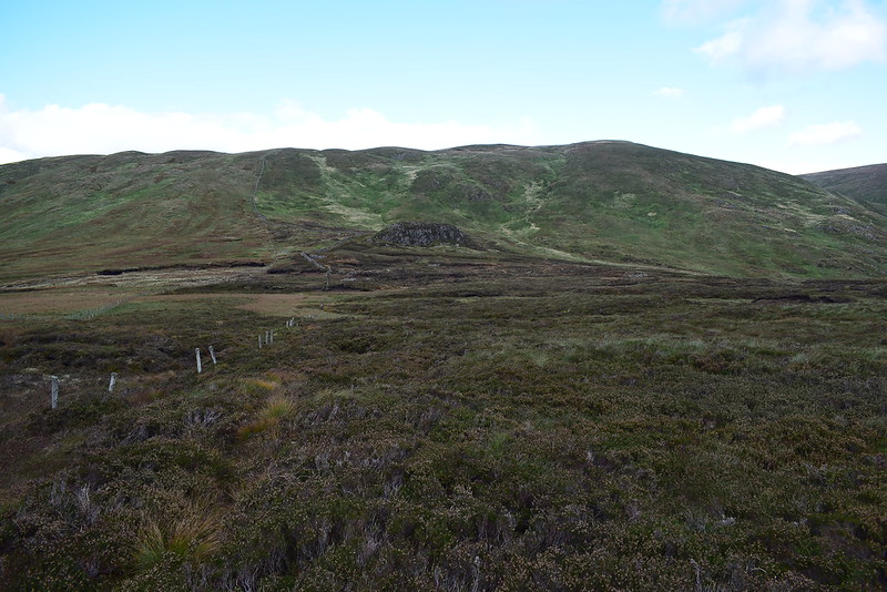
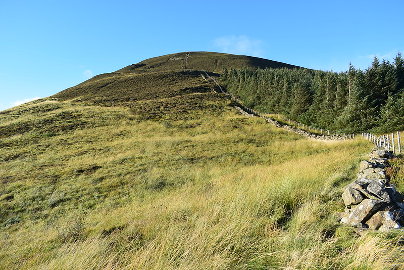
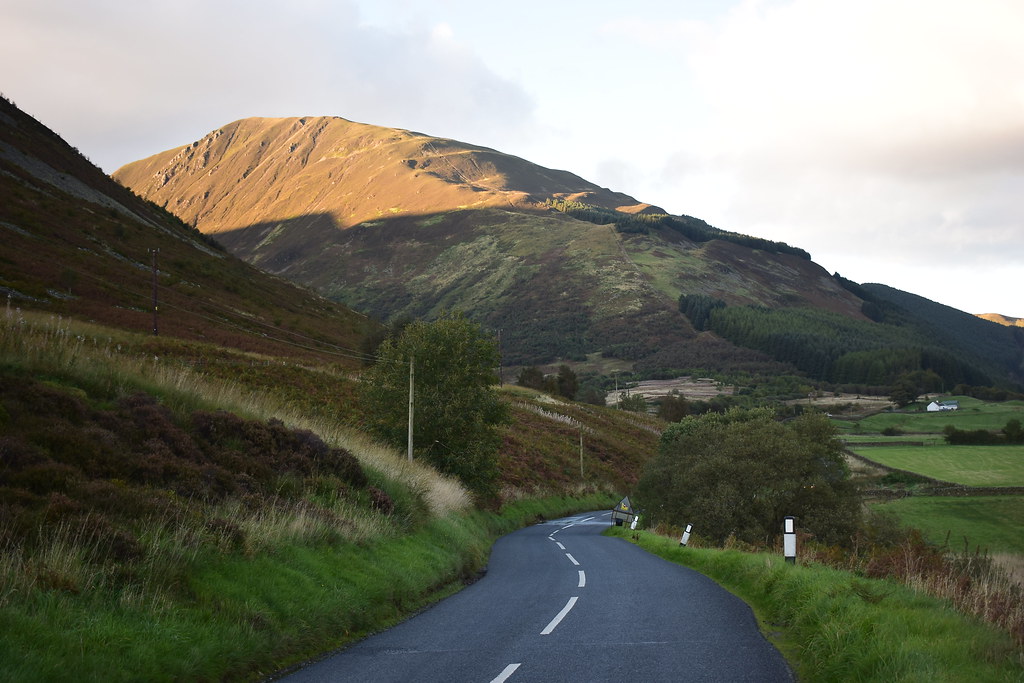
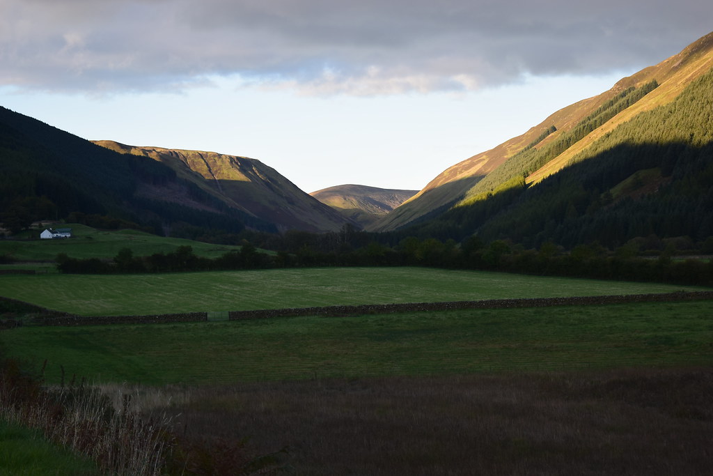
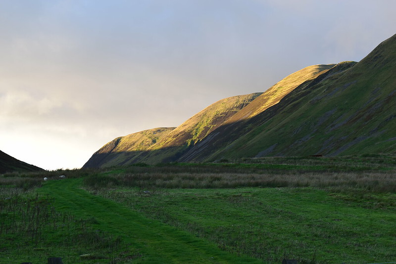
Back at the start, Hang Gill up ahead, I joke that we could just do another round again!
 DSC_7274
 by
Chris Mac, on Flickr
We've finally done it, a long but enjoyable day up some great hills and we only had a drive of just over an hour to get back home, brilliant! Sunlight kissed the top of Saddle Yoke as we left:
 DSC_7279
 by
Chris Mac, on Flickr
Doing both of these Corbetts and the Donalds and tops all around (take your pick, plenty to choose from) makes for a great walk if you don't mind a lot of trudging up grassy hillsides. The scenery is outstanding, as Iain said at one point it wouldn't go amiss in the highlands. It looked like the Southern Uplands had won Iain over so we'll need to go and explore around the Galloway Hills the next time we venture south.
Moffat Dale was lovely too and the hills on the south of our start point, some Grahams and Sub-2000's, looked great throughout the walk with plenty of options for routes. The more I walk around the Southern Uplands the more they reveal and the more I like them, so if you've not been down here yet what are you waiting for...?
