free to be able to rate and comment on reports (as well as access 1:25000 mapping).
October can be a windy old month. But we're still in September and I think we deserve somewhat better weather than has been served up in the last few weekends. Hmmm. Allison was starting her fortnight's holiday with a week in Torridon - I was taking her up to the cottage, so the weekend's destination wasn't up for discussion. I'd planned to do Meall Cuaich on the way up on Friday, then Liathach Saturday and a scramble over the Black Carls of Beinn Eighe on Sunday before I headed home. From early in the week it was clear that there were going to be big winds over the weekend, which put the plans into doubt.
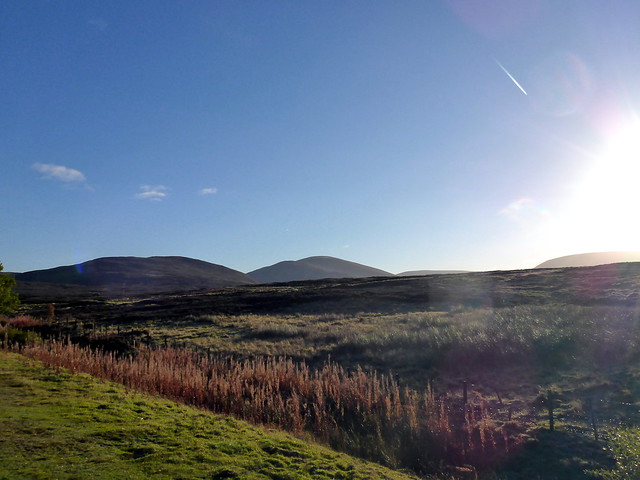
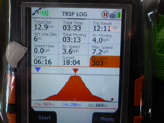
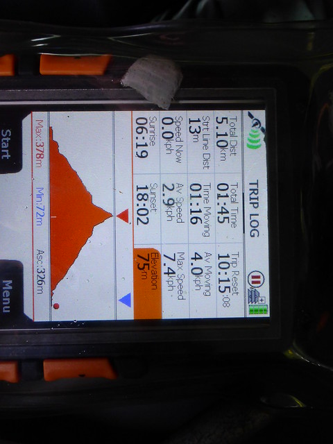
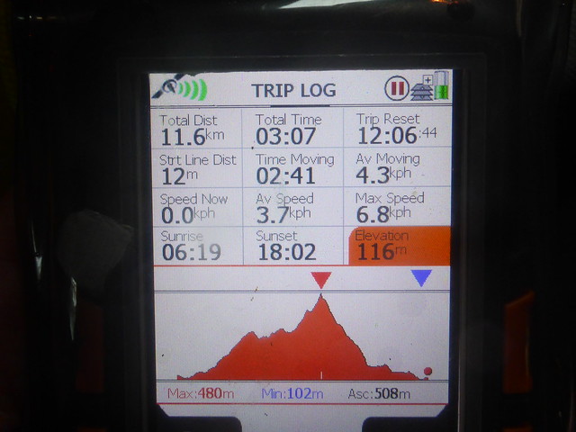
Set off on Thursday and camped in a spot we've used before off the A9 at Drumochter. Nice quiet and dry night. Sunshine on Friday morning - we drove up the road a wee bit to set off up Meall Cuiach. Standard route, nice blue sky but cold in the wind. Made the summit before 11am. I had planned a descent route over a circuit of Simms to the south-east, but the going looked heathery which wasn't great for Allison's back, and I wasn't sure about the likelihood of running into stalkers, so we decided to return the way we'd come up. The forecast hadn't budged - winds of >50mph were forecast for Saturday, which made Liathach a no-go. There was little point in heading up to Torridon today then. What else could we do? I thought we could camp for the night by the reservoir at Laggan, so why not head up Geal Charn this afternoon - an easy enough ascent, we'd been up there in January in thick snow.
 P1200673
 by
Al, on Flickr
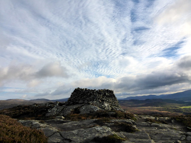
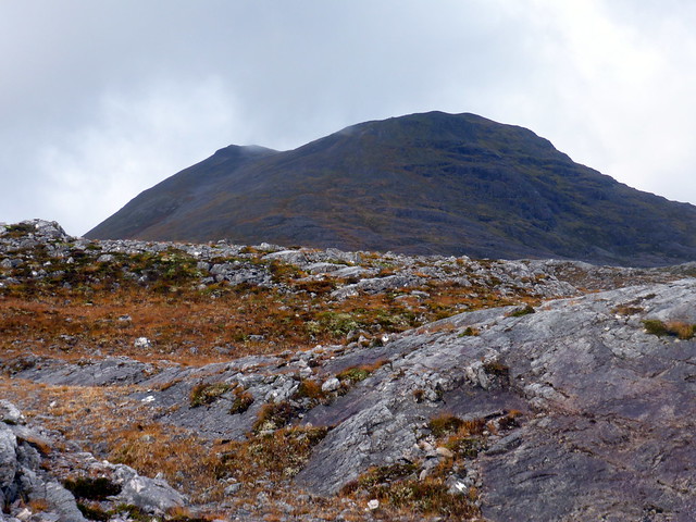
Meall Cuaich
 P1200675
 by
Al, on Flickr
 P1200679
 by
Al, on Flickr
 P1200680
 by
Al, on Flickr
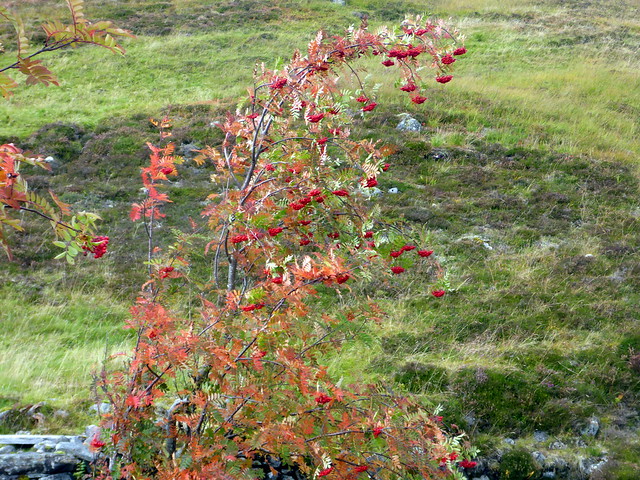
Parked by Garva Bridge and took the standard route up. Mountain Ash trees hung heavy with crimson berries by the river. Path became increasingly boggy underfoot until the stony upper section of the hill was reached. We watched bands of rain cross the hills off to the west, but managed to stay dry ourselves. Back at the car in three and a half hours, some two hours quicker than we'd been in the snow

Drove back along the reservoir to another spot we've used a few times and had another quiet, dry night. Great.
Rowans heavy with berries
 P1200682
 by
Al, on Flickr
 P1200683
 by
Al, on Flickr
Passing showers
 P1200684
 by
Al, on Flickr
 P1200685
 by
Al, on Flickr
 P1200686
 by
Al, on Flickr
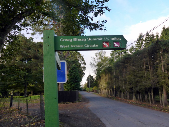
So what would we do for Saturday? Given the promise of big winds it seemed that little hills were the best bet - I'd noted down a few that were en route on our journey to Torridon. First up was a nice wee hill accessed from the very centre of Kingussie - Creag Bheag. We parked up at the central square and found a signpost to our objective just along the road. We followed the WH route through the pine woods then onto open hillside, reaching the summit which gave good views to the surrounding countryside. It was pretty windy, even sub-500m. Following the route NE there was a strange bunker like structure build into the north wall of Loch Gynack, with a fence stretching across the water in front of it. Now what's that all about? We continued onto the golf course, then followed the Gynack Burn back into town, cutting a bit off the WH route.
 P1200687
 by
Al, on Flickr
 P1200689
 by
Al, on Flickr
 P1200691
 by
Al, on Flickr
 P1200692
 by
Al, on Flickr
Strange bunker
 P1200693
 by
Al, on Flickr
Creag Bheag from the golf course
 P1200695
 by
Al, on Flickr
 P1200696
 by
Al, on Flickr
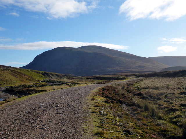
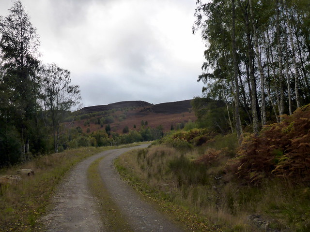
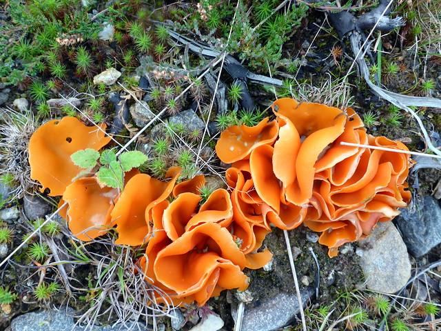
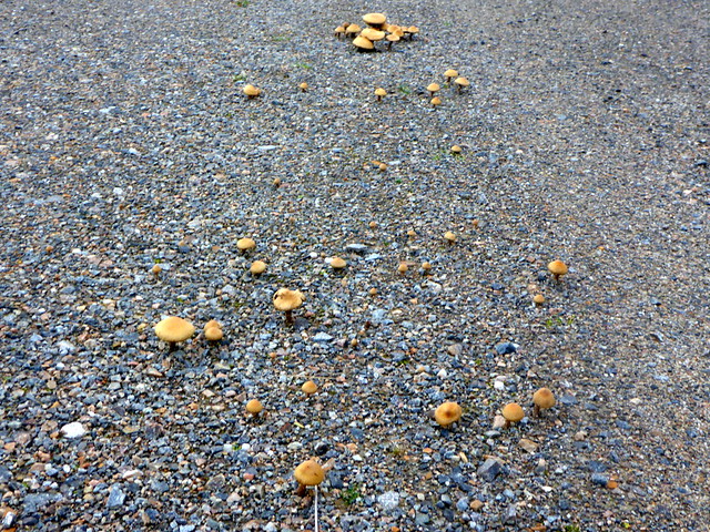
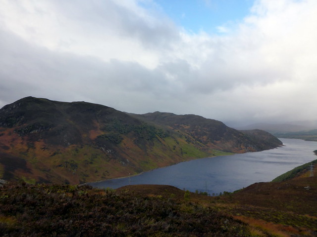
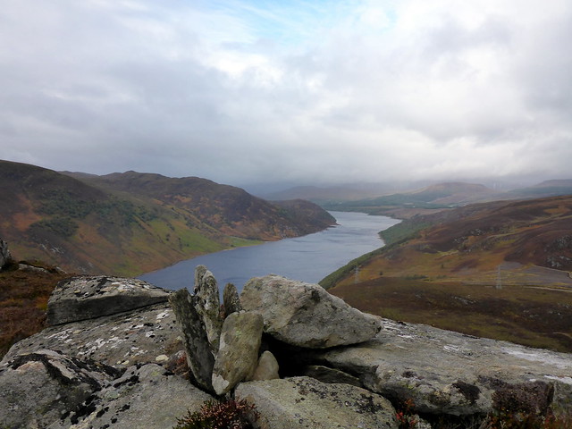
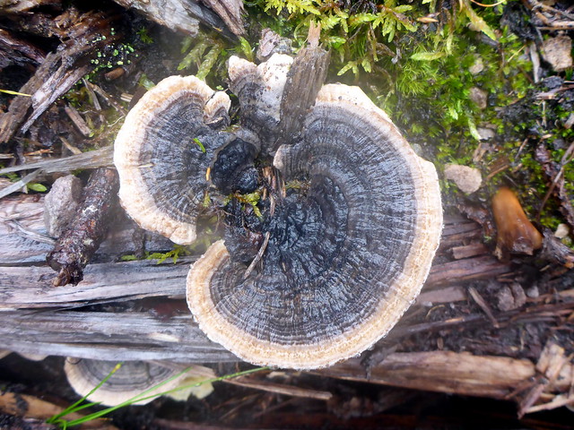
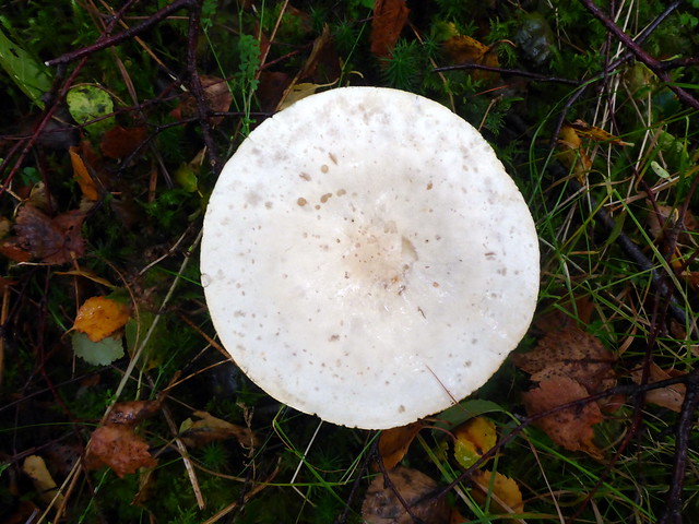
Well that was quite enjoyable - what's next? We drove up the A9 and out onto the A835 heading for Garve and Carn Faire nan Con. This little hill sits just shy of Garve, we parked in the layby just before you enter the village and walked a couple of hundred metres back along the road to a forestry track (you could possibly squeeze one car in there). Straightforward walk up the track, which zigzags a bit til a bealach is reached. Lots of different fungi growing along (and in some cases, through) the road. Then onto boggy/tussocky hillside with lots of native little trees growing until the summit is reached. Good views over to Loch Luichart and Sgurr Marcasaidh. Wind was very strong here, enough to make standing up straight seem difficult. I had intended to walk over to the partner-summit of Cnoc na h-Iolaire, but it looked like a lot of woirk for a Hump, so instead we re-traced our steps and ended up back at the car. Allison didn';t get the keys til late afternoon, so time for another Marilyn - yippee!
 P1200697
 by
Al, on Flickr
 P1200698
 by
Al, on Flickr
"Road"Stools
 P1200706
 by
Al, on Flickr
 P1200699
 by
Al, on Flickr
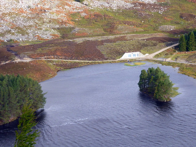
Loch Luichart
 P1200700
 by
Al, on Flickr
 P1200702
 by
Al, on Flickr
 P1200703
 by
Al, on Flickr
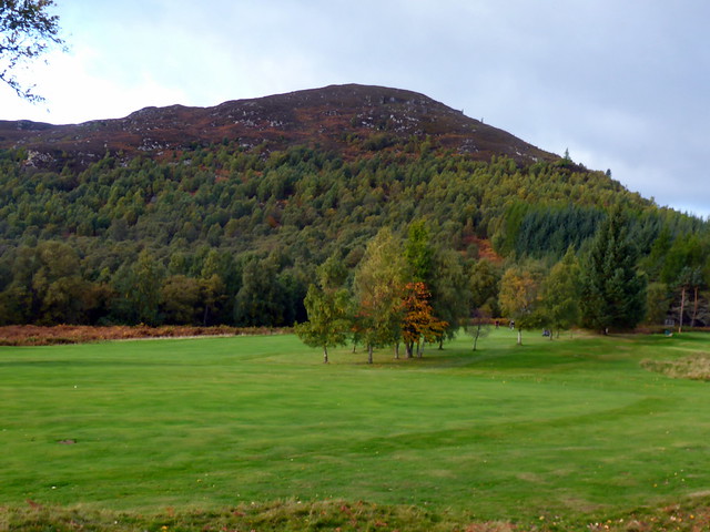
Little Wyvis
 P1200705
 by
Al, on Flickr
 P1200707
 by
Al, on Flickr
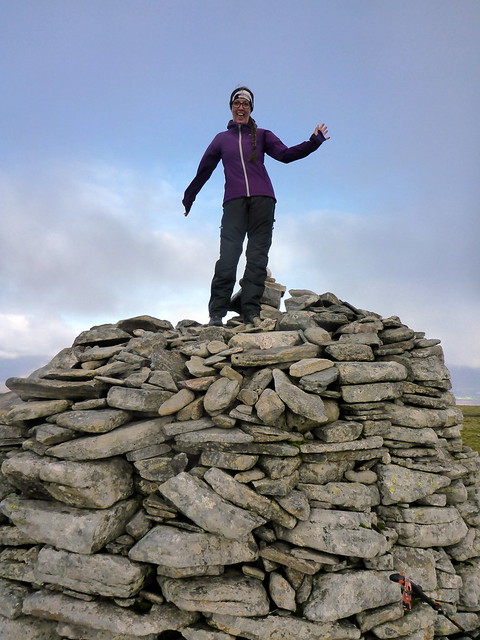
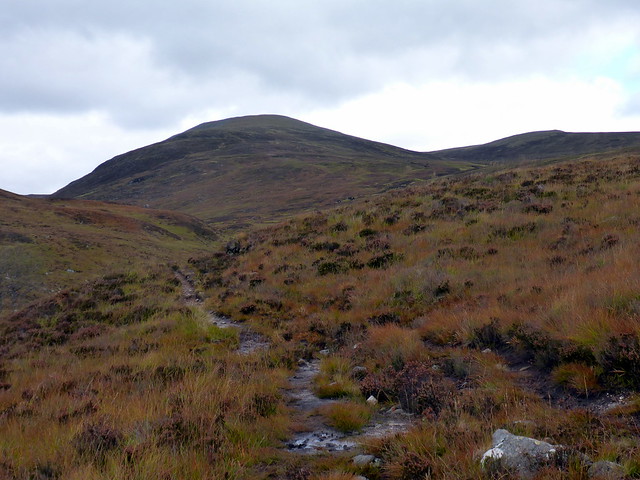
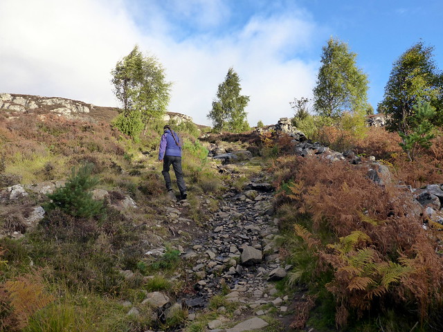
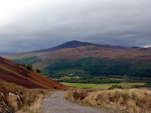
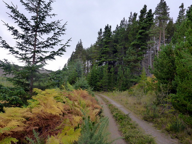
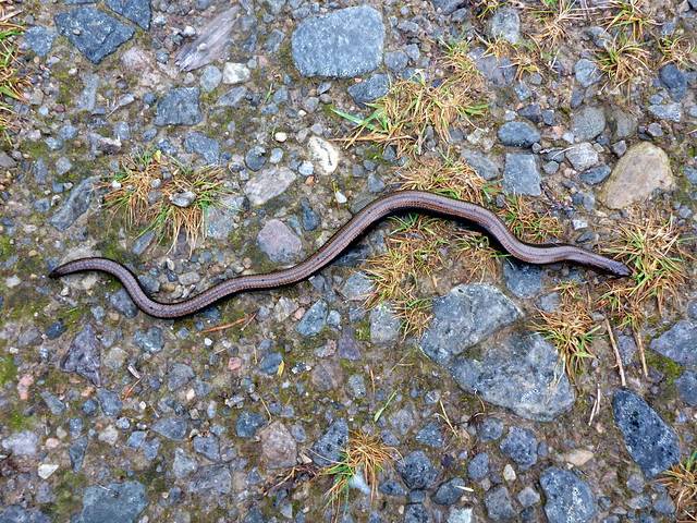
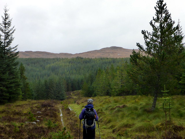
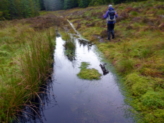
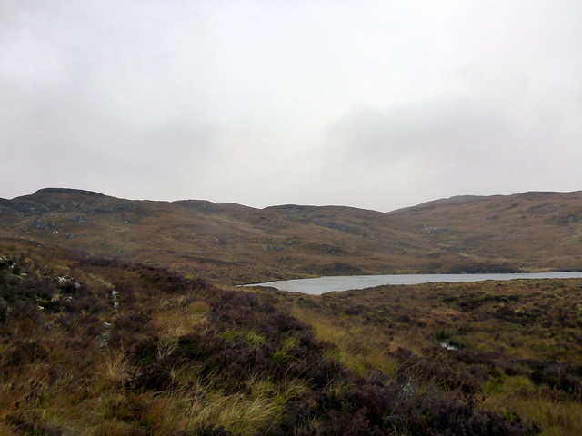
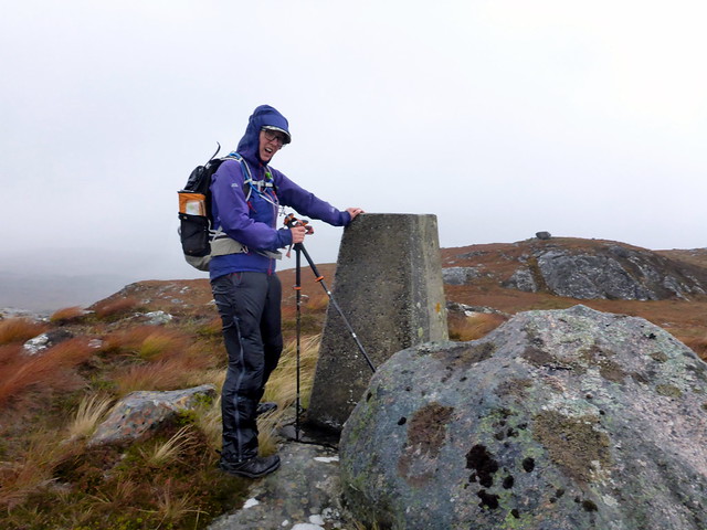
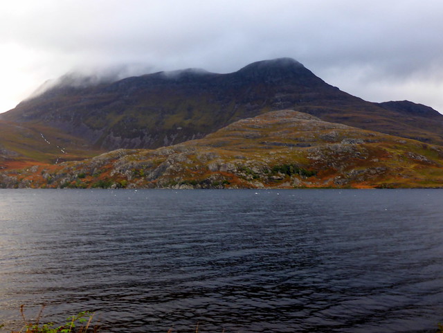
I'd chosen Carn na Dubh Choille from a Black Panther report that mentioned it was largely on track - that would be good for the Sick Kid. However, BP had done the walk towards the end of our wonderfully hot, dry summer - today the "track" included a large proportion that was sub-aquatic. But I get ahead of myself. We parked at the toilets/information place just past Gorstan and walked back to the start of another forestry track. Good path to begin with through the trees. The bracken was turning yellow/brown. I saw a slow worm crossing the path - very slowly - and gave it a helping hand to the other side just in case a cyclist should come and drive over it. We took a right turn at the old drove road to Aultguish which was good for a while then deteriorated - becoming increasingly boggy as we got deeper into the woods. Eventually we were free of trees and of the worst of the bog, coming out at Lochan nam Breac, with our objective ahead of us. The hillside was dun coloured as we gradually gained height to reach the trig point. Still windy! From here we descended SE making for the black Water - I didn't manage to find the track BP had used, but we made it down through cleared forest, which was very slippy under foot in the wet conditions, not at all to Allison's liking. Headed along to Kinlochewe where she picked up the keys for the cottage.
 P1200708
 by
Al, on Flickr
Mr Slow
 P1200709
 by
Al, on Flickr
 P1200710
 by
Al, on Flickr
The path worsens
 P1200711
 by
Al, on Flickr
Lochan nam Breac
 P1200712
 by
Al, on Flickr
 P1200716
 by
Al, on Flickr
 P1200717
 by
Al, on Flickr
 P1200718
 by
Al, on Flickr
 P1200719
 by
Al, on Flickr
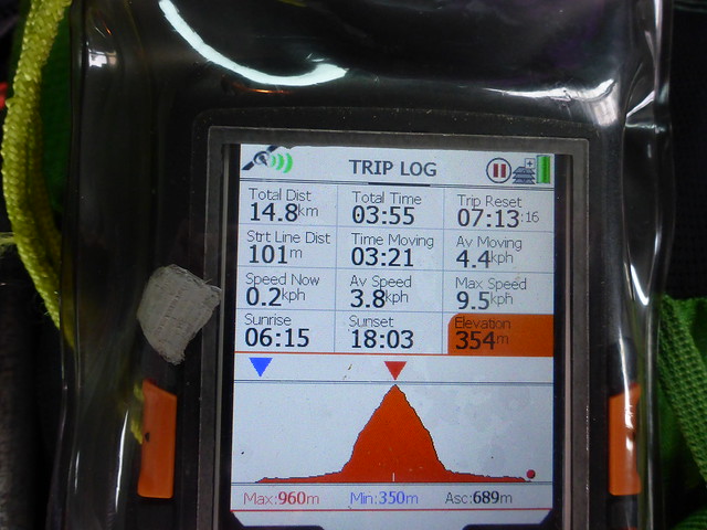
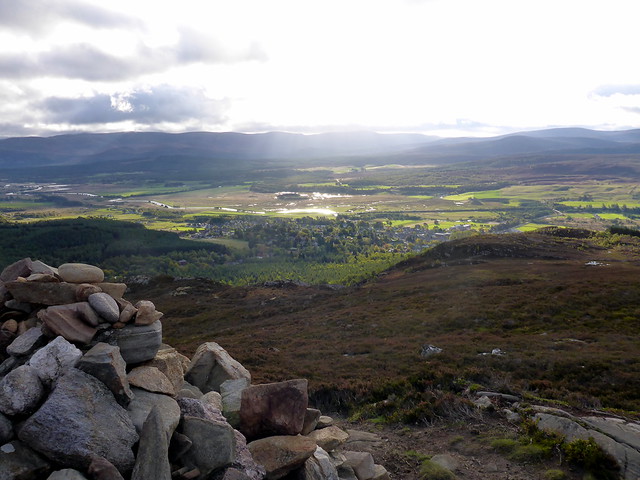
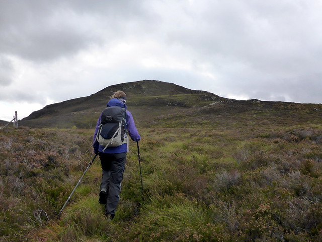
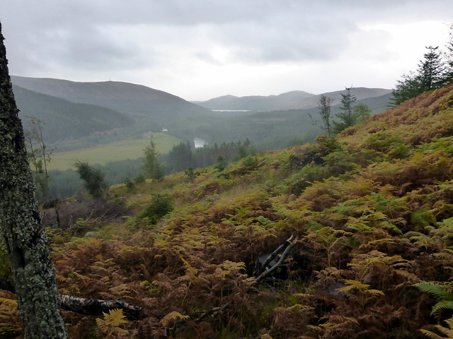
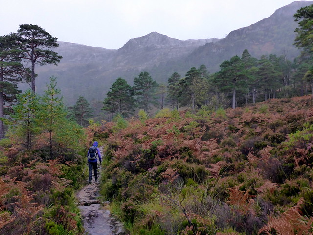
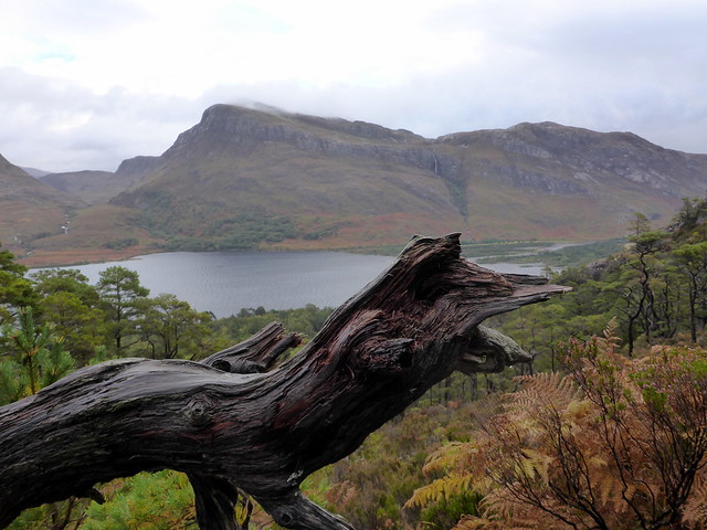
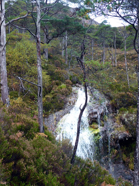
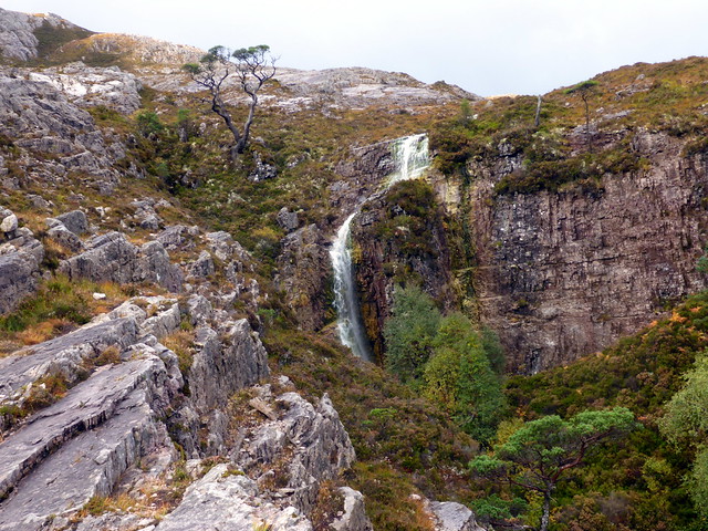
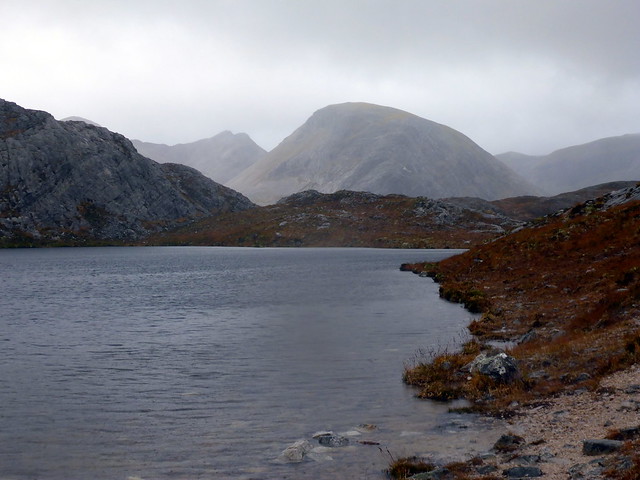
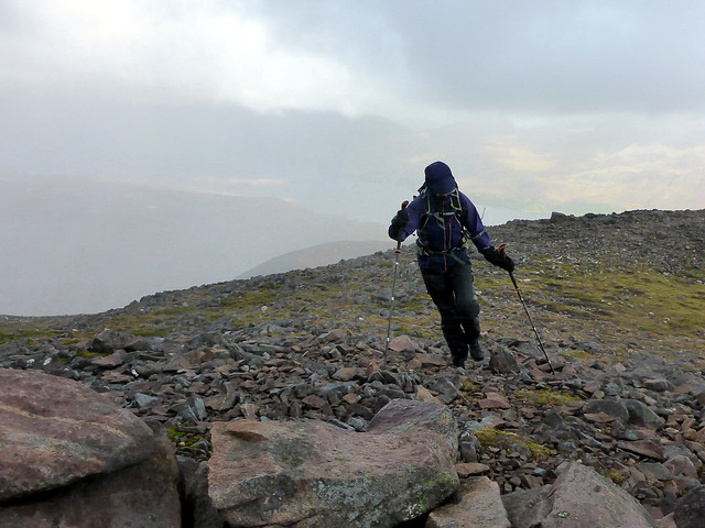
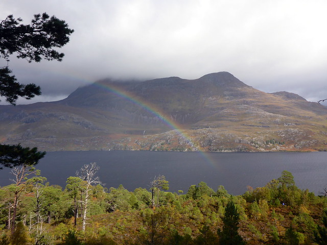
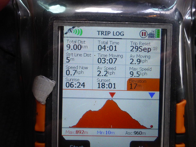
The forecast for Sunday had originally been for snow and moderate winds in the mid 20mph. However, by Saturday evening the forecast was for heavy rain/snow and winds of 40-50mph. That didn't sound great for heading along the Black Carls. Looking out the window it didn't seem too bad - would we risk it or not? I chickened out and decided we'd do something smaller - meall a'Ghuibhais seemed a good bet, sheltered behind the bulk of Beinn Eighe. And it had a good path most of the way. We drove the couple of km to the Viewpoint across from Slioch and made our way up the Mountain Path, in heavy intermittent rain. It was a little bit galling to have the opportunity to have 2 days in Torridon and all we get to do is one measley Corbett, but it isn't a bad hill, to be fair, and there was some visibility. Waterfalls were plashing as we headed up the steep trail, reaching the viewpoint cairn. The view of our hill was rapidly quenched by an approaching hail shower. Oh well. On a better day I might have included Ruadh-Stac Beag, although the last time we did that I remember it being something of an epic. As I had a long drive back, one hill would be plenty.
Slioch
 P1200720
 by
Al, on Flickr
 P1200722
 by
Al, on Flickr
 P1200723
 by
Al, on Flickr
Beinn a'Mhuinidh
 P1200724
 by
Al, on Flickr
 P1200725
 by
Al, on Flickr
 P1200726
 by
Al, on Flickr
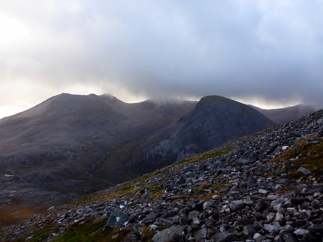
Meall a'Ghuibhais
 P1200727
 by
Al, on Flickr
Ruadh-Stac Beag
 P1200729
 by
Al, on Flickr
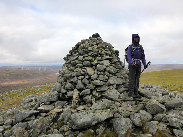
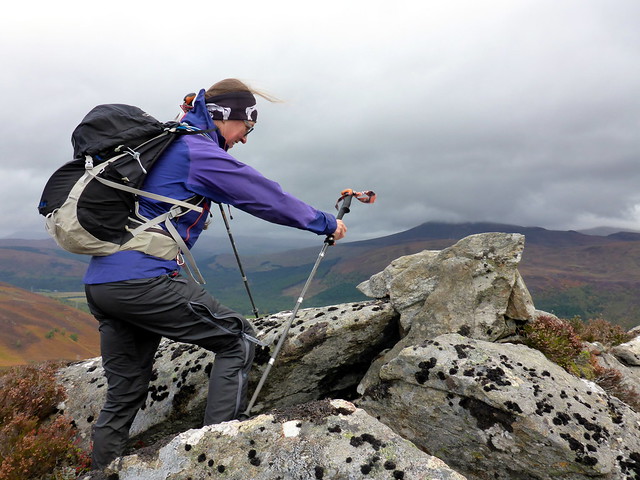
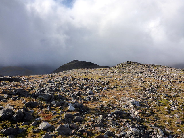
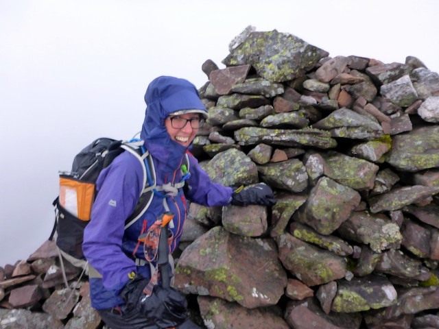
We continued up the hillside making for the north top cairn first, spotting a lone walker at the summit. I made the comment that I'd expected it to be windier, as we stood at the cairn - 3,2,1 - bam - we were hit with a blast of wind and hail that almost knocked us over. This continued all the way to the true summit, where we were grateful to take shelter behind the cairn. If we'd been up on Beinn Eighe, the wind/hail would have been right in our faces - not a pleasant thought. Not too bad coming off the hill as we were in the lee of the wind, but still subject to flurries of hail and rain. Quite a few folk seemed to have done the circuit path without doing the hill itself, as we passed a number of them heading down.
Across to Beinn Eighe
 P1200732
 by
Al, on Flickr
Summit, weather arriving
 P1200733
 by
Al, on Flickr
 P1200734
 by
Al, on Flickr
 P1200735
 by
Al, on Flickr
 P1200736
 by
Al, on Flickr
 P1200737
 by
Al, on Flickr
Dropped Allison off at the cottage then set off down the road, at one point following a 1972 Mercedes 350 SL Cabriolet in pristine condition. For once the roads were moving freely and I was back home by 5.30.
