free to be able to rate and comment on reports (as well as access 1:25000 mapping).
WIth a good day forecast for Saturday and no Iain to walk with I was set a challenge, find a walk (it's always going to be a hill when i'm asked this) that was 2 hours maximum as Y didn't want anything epic after a small hiatus and knows that I would walk for days if I could.

The closer the better, near water with a path the whole way is always a winner. I scoured the Marilyn's in central Scotland and soon found the perfect candidate, Benarty Hill up at Loch Leven. Just over an hour's drive away, easily done in under two hours and could be turned into a 2 hour loop to take in Mulla Crag the neighbouring Tump.... I hoped!
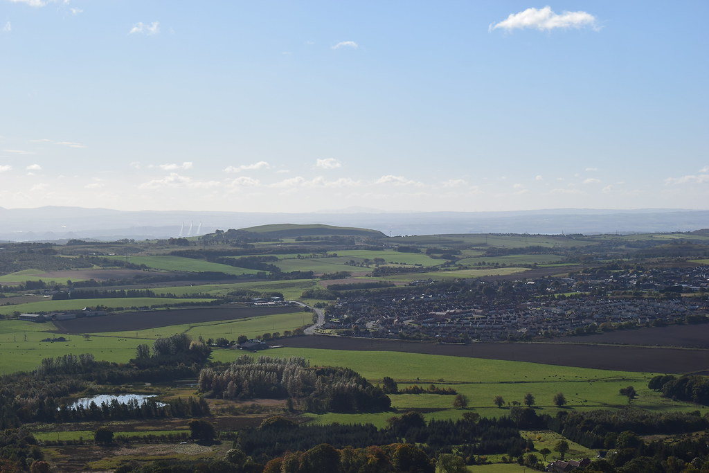
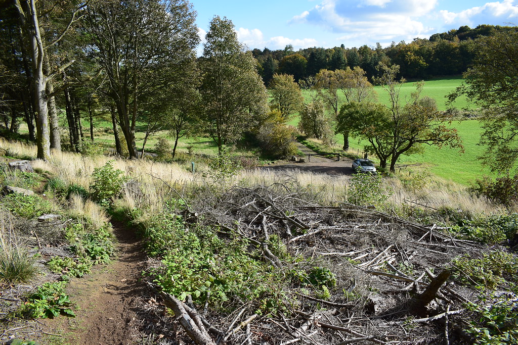
After breakfast we set off and I enjoyed the view of the Ochils and smaller hills in the Kingdom of Fife on the way to the parking spaces at The Avenue & Struth's Steps.
We parked then set off up the stepped path into the woods:
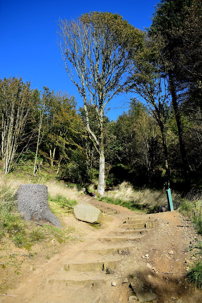 DSC_7366
 by
Chris Mac, on Flickr
The sunlight was creating beams through the trees and making the first section enjoyable and easy going:
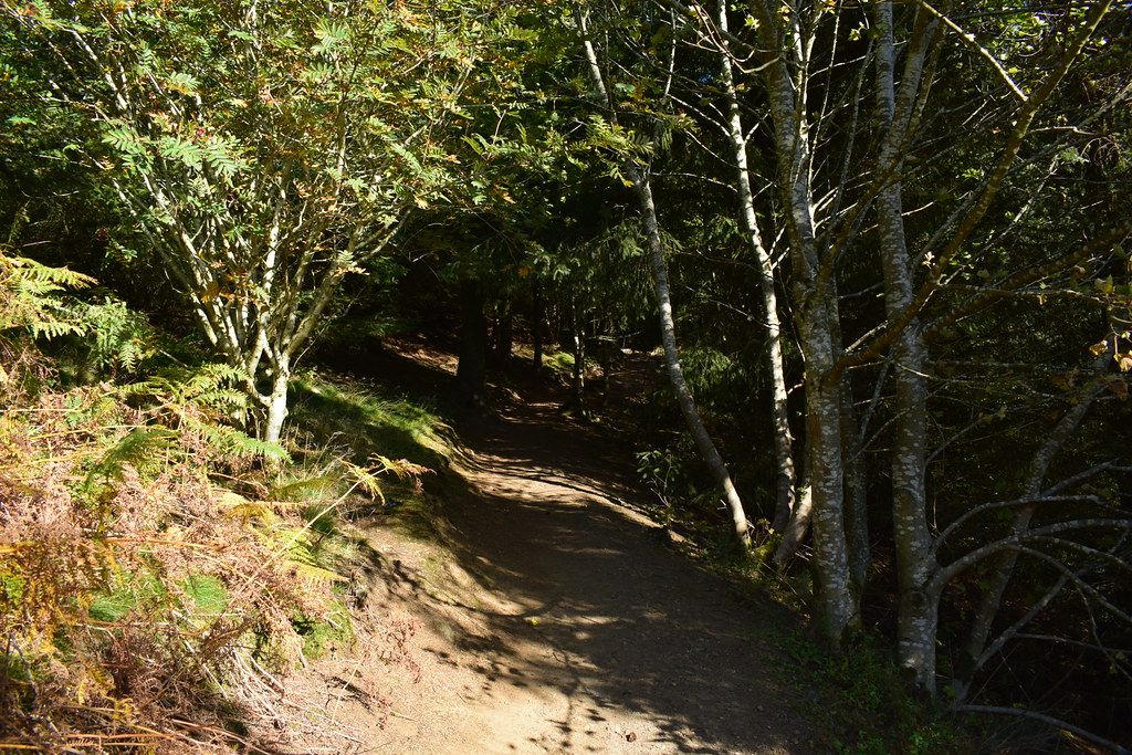 DSC_7375
 by
Chris Mac, on Flickr
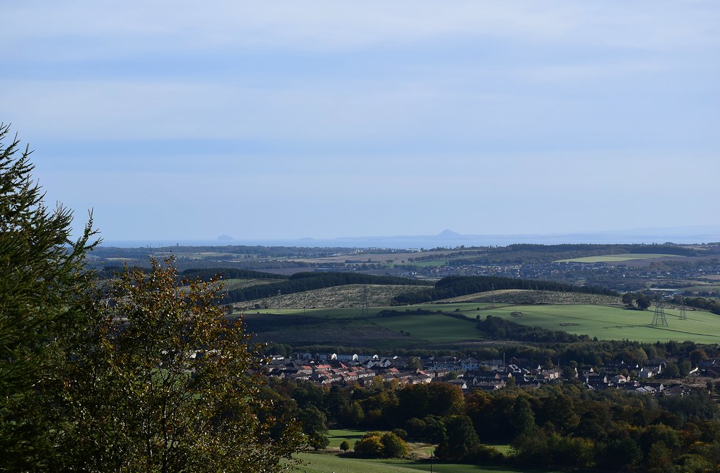
Autumn colours were starting to show and a few gaps opened up to show the view to the south:
 DSC_7387
 by
Chris Mac, on Flickr
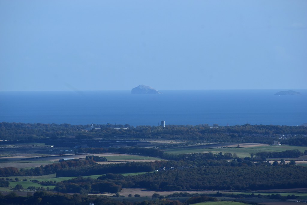
I point out North Berwick Law which we were up earlier in the year, along with Bass Rock to the left:
 DSC_7392
 by
Chris Mac, on Flickr
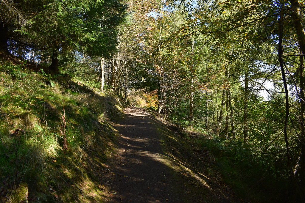
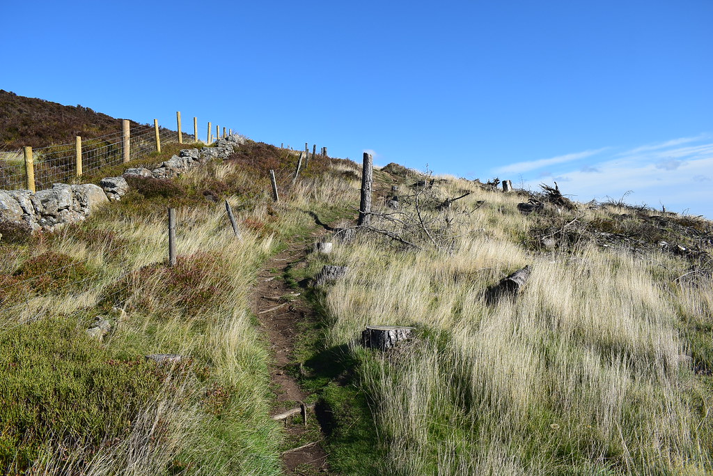
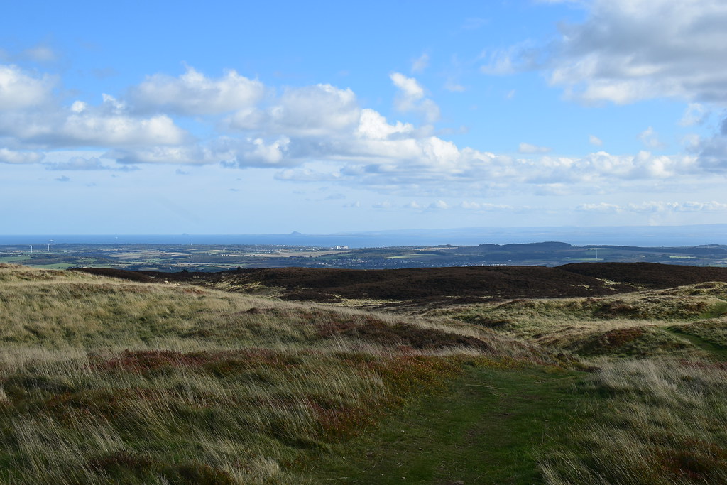
The path turns left and continues up then hits open hillside:
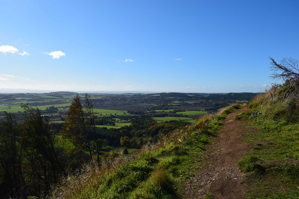 DSC_7426
 by
Chris Mac, on Flickr
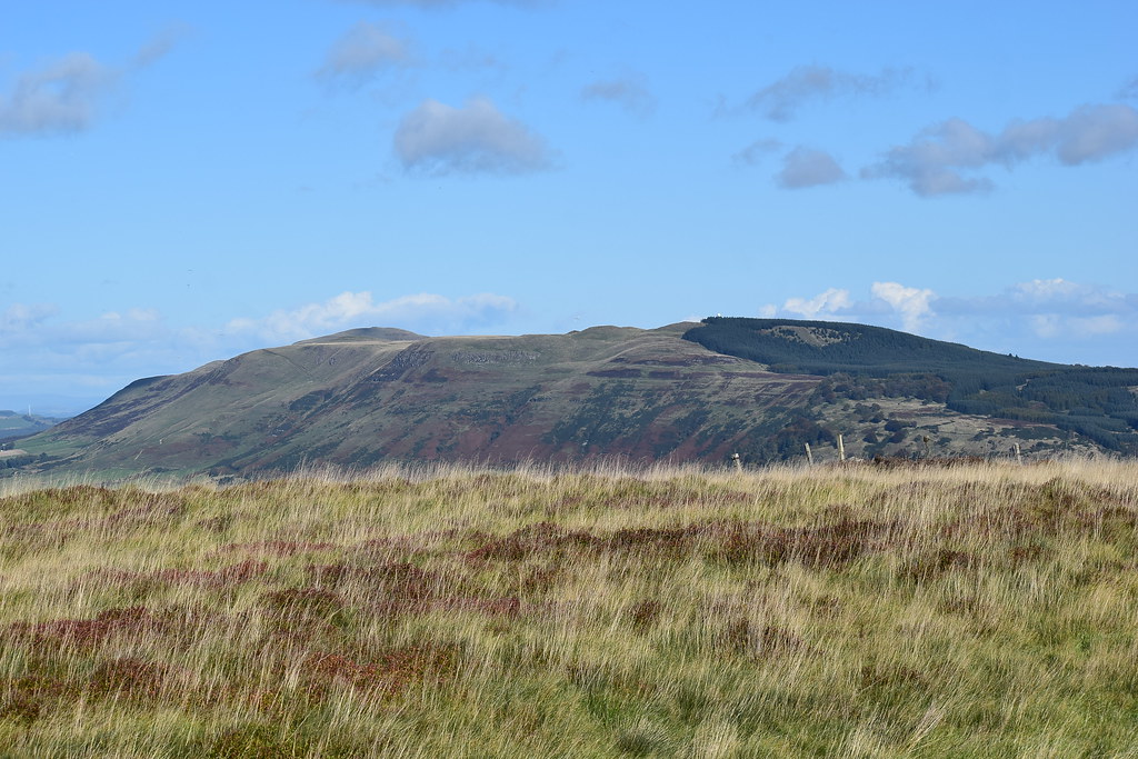
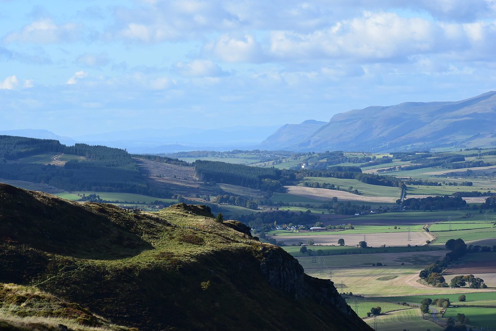
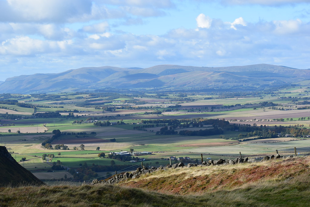
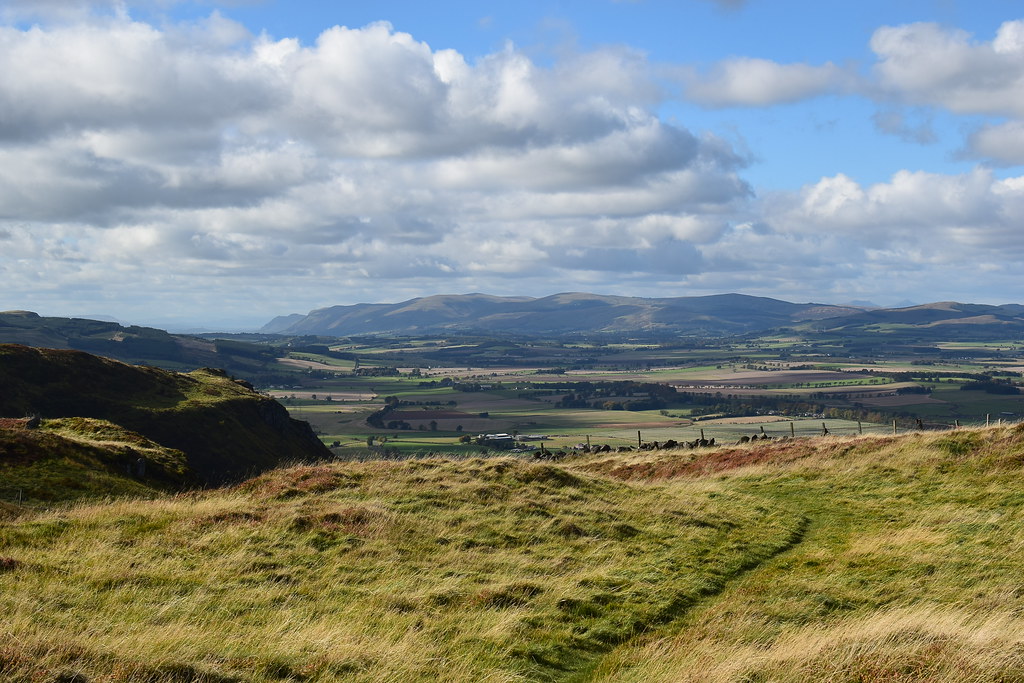
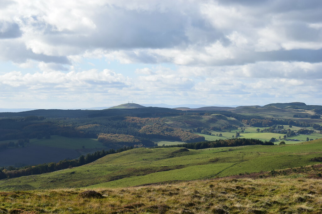
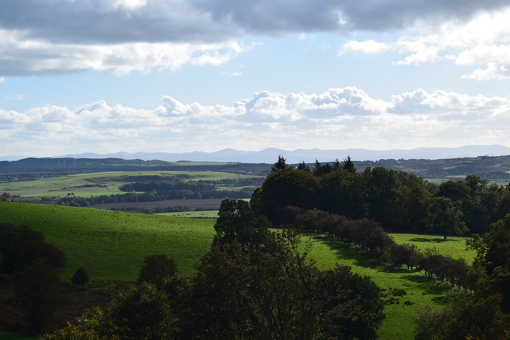
The Pentlands now in view to the south, showing off their long profile:
 DSC_7432
 by
Chris Mac, on Flickr
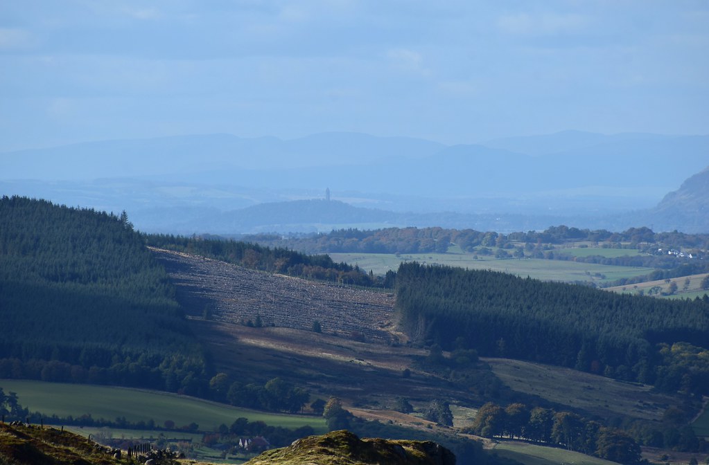
The west side of Benarty Wood decimated, reminding us of Ben A'an a few years back:
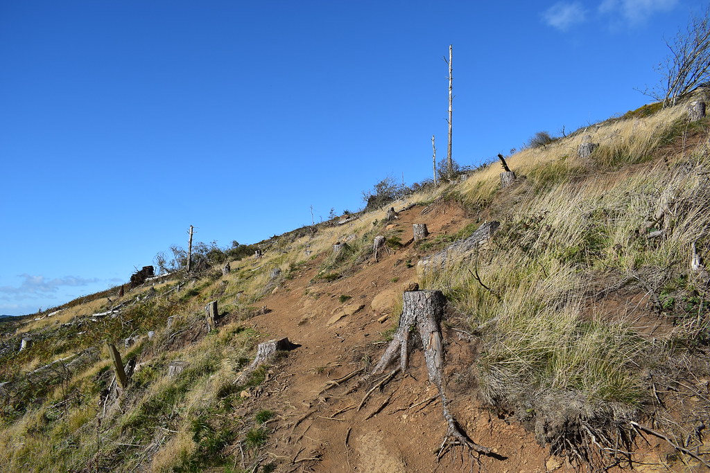 DSC_7439
 by
Chris Mac, on Flickr
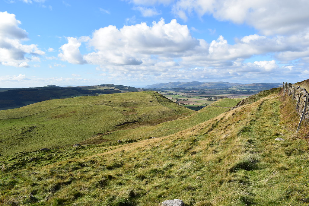
We crossed a few bulldozed trails and paths that might be a new mountain bike trail, continuing along the main path as per the WH route which was the easiest going:
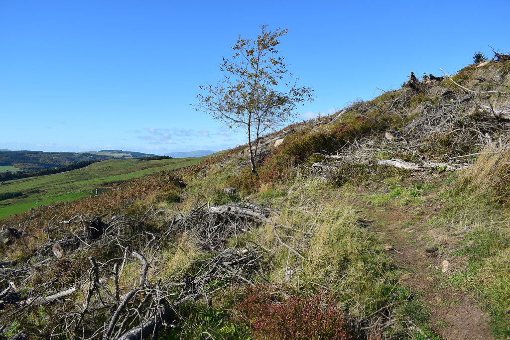 DSC_7444
 by
Chris Mac, on Flickr
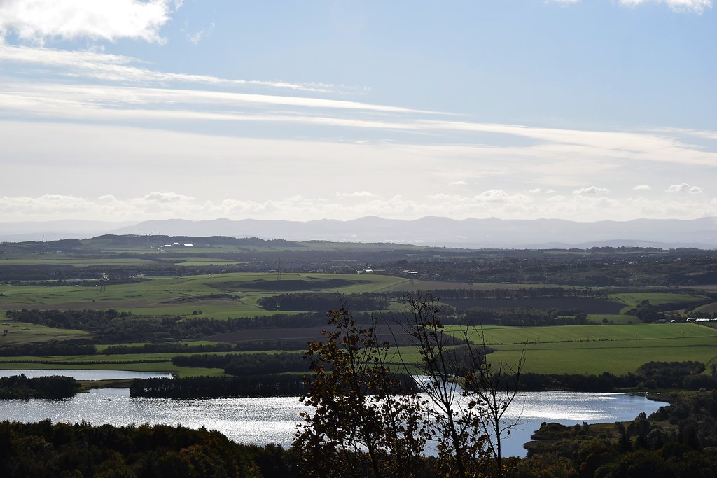
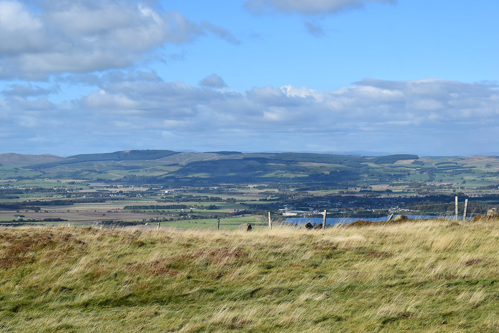
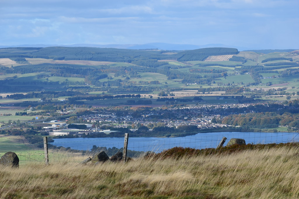
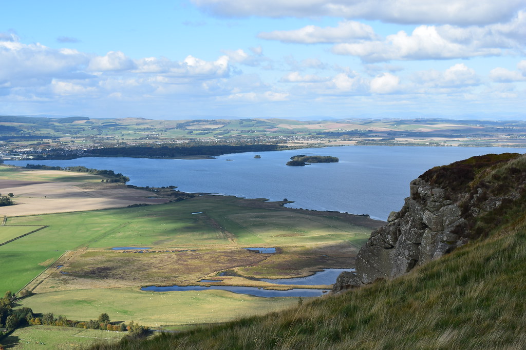
Loch Ore, Lochgelly & Cowdenbeath:
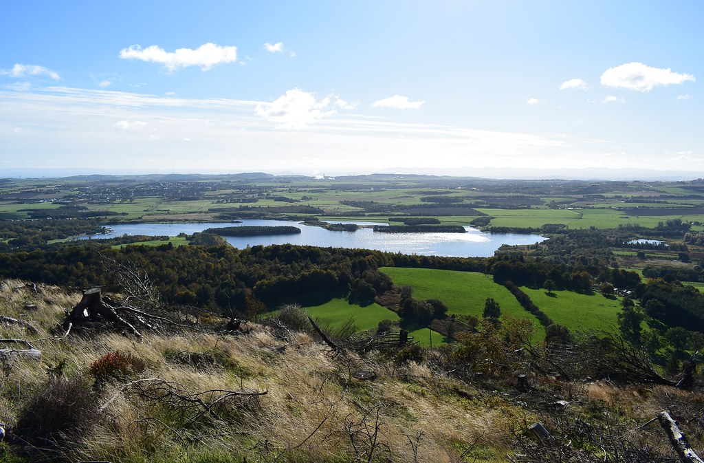 DSC_7452
 by
Chris Mac, on Flickr
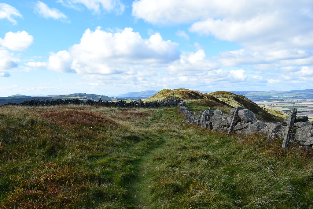
The path soon turns right and we follow the wall:
 DSC_7453
 by
Chris Mac, on Flickr
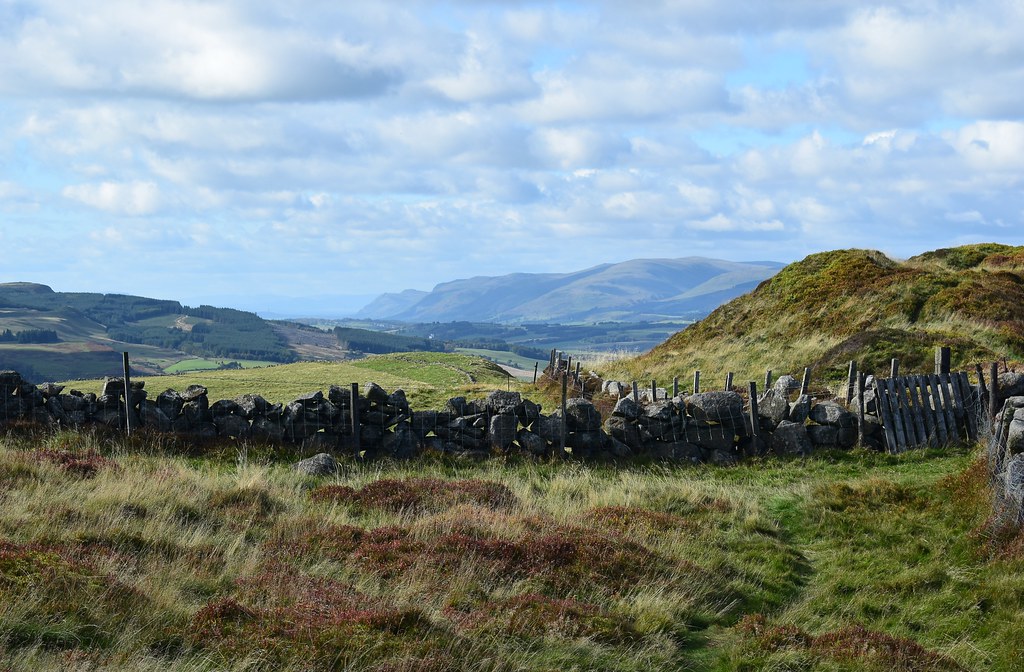
Behind the Hill of Beath we can now make out Tinto, always very easy to spot being the southern upland outlier:
 DSC_7454
 by
Chris Mac, on Flickr
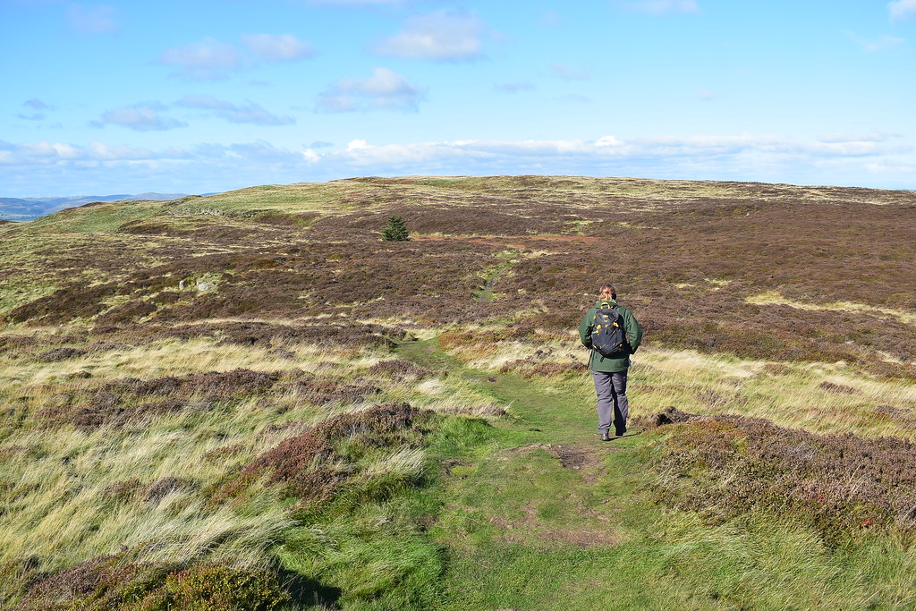
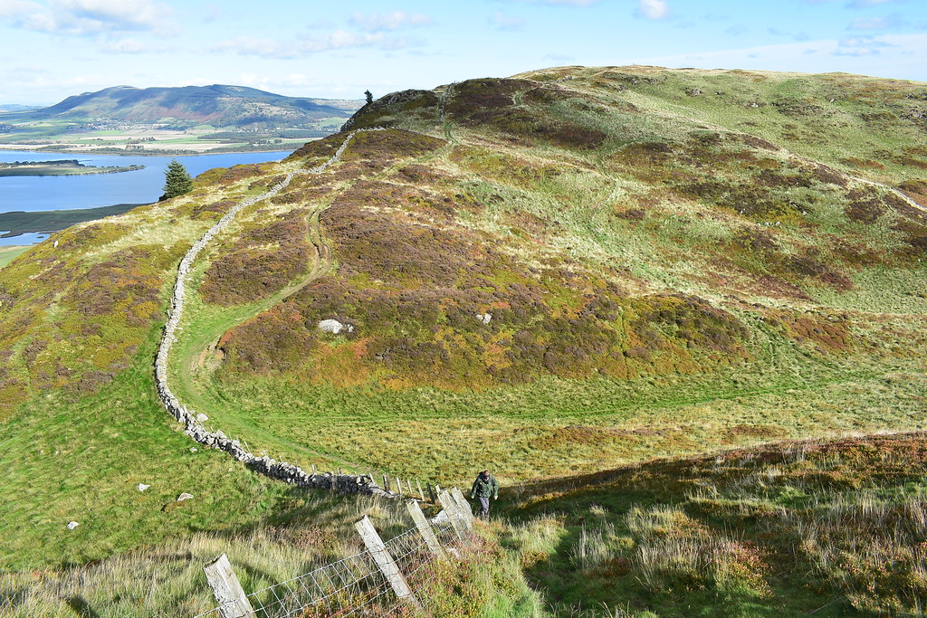
Through a gate and on to open hillside we go, stopping to chat to a cyclist briefly then passing a family enjoying a walk with their son and two Jack Russells. The cyclist is ascending to the large boulder summit beyond but it's not the top of Benarty Hill which isn't far beyond it:
 DSC_7484
 by
Chris Mac, on Flickr
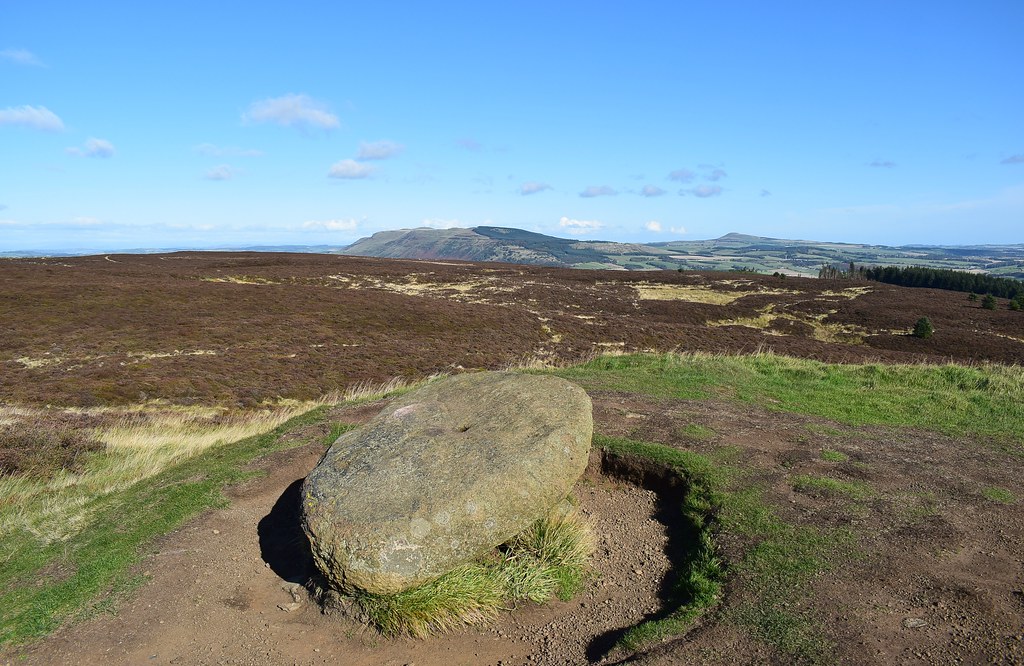
Seamark stone on the OS map, Benarty summit and trig point can be seen from here:
 DSC_7491
 by
Chris Mac, on Flickr
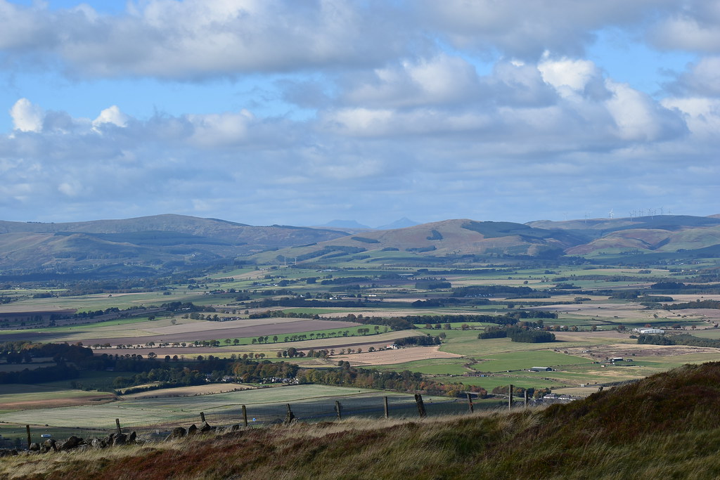
We stop for a break, Lomond Hills and Bishop Hill tot he east:
 DSC_7492
 by
Chris Mac, on Flickr
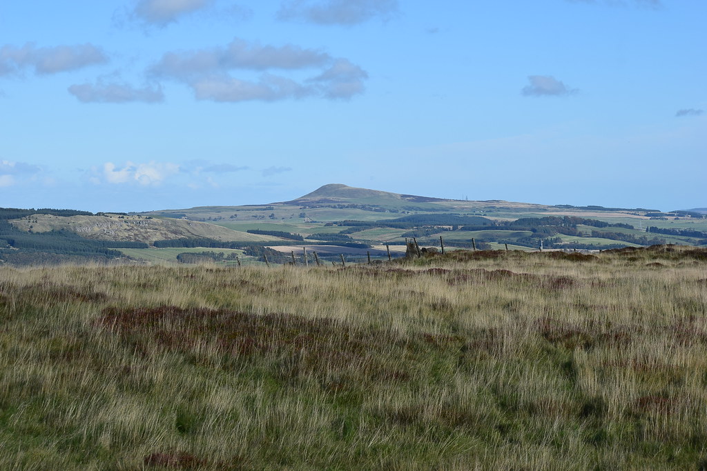
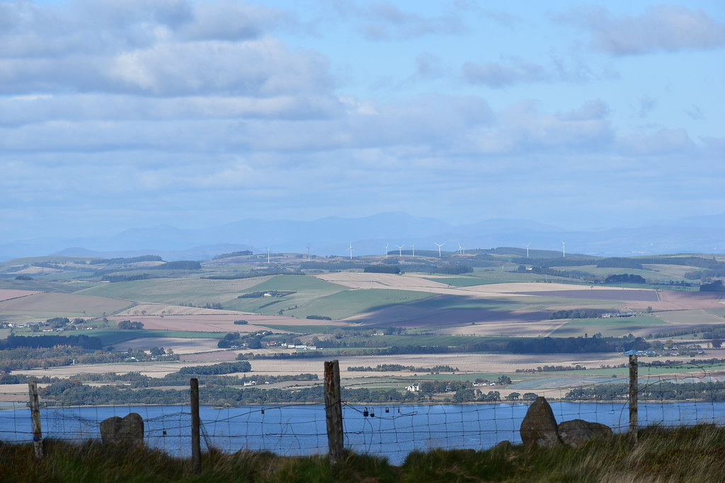
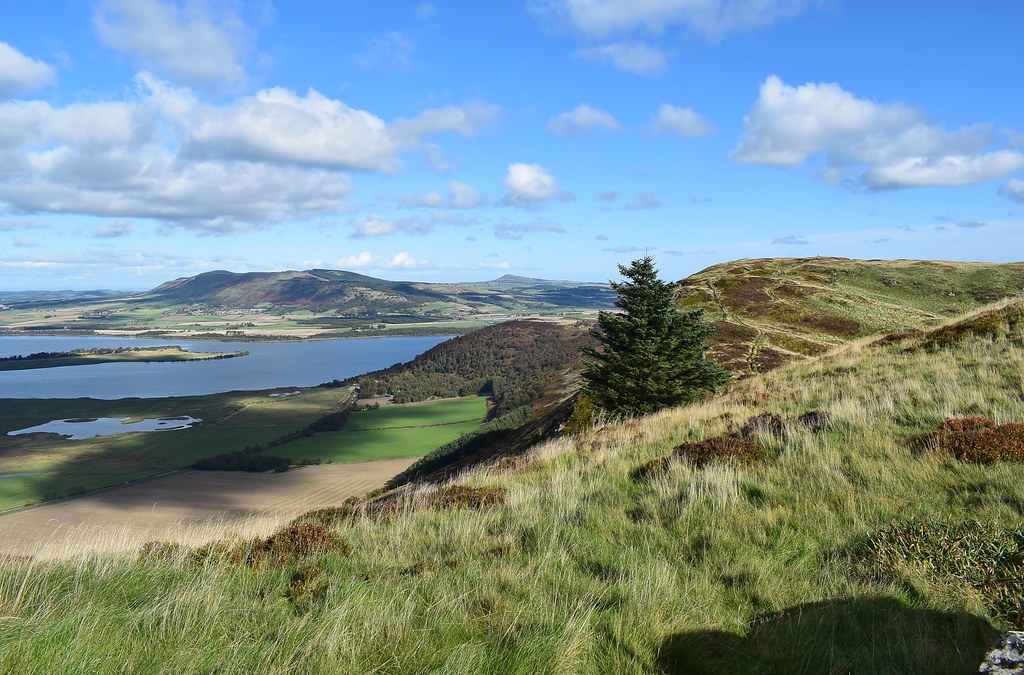
North west are the Ochils, looking compressed from this angle while in the foreground is the taller hill fort of Castle Craig with Mulla Craig to the left, i'm hoping to head downhill that way...
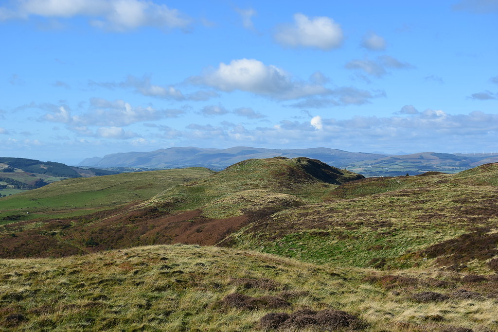 DSC_7501
 by
Chris Mac, on Flickr
Looking more to the north I spot Stuc a' Chroin and Ben Vorlich in the distance, oh to be on a bigger walk today...

but not to worry, it's a perfect day to be out and we're enjoying exploring new territory:
 DSC_7504
 by
Chris Mac, on Flickr
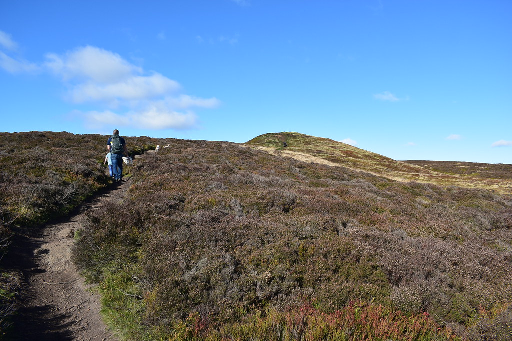
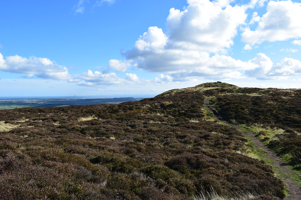
Benarty Hill summit up next:
 DSC_7506
 by
Chris Mac, on Flickr
With the family catching up we set off again, shouldn't take long...
 DSC_7515
 by
Chris Mac, on Flickr
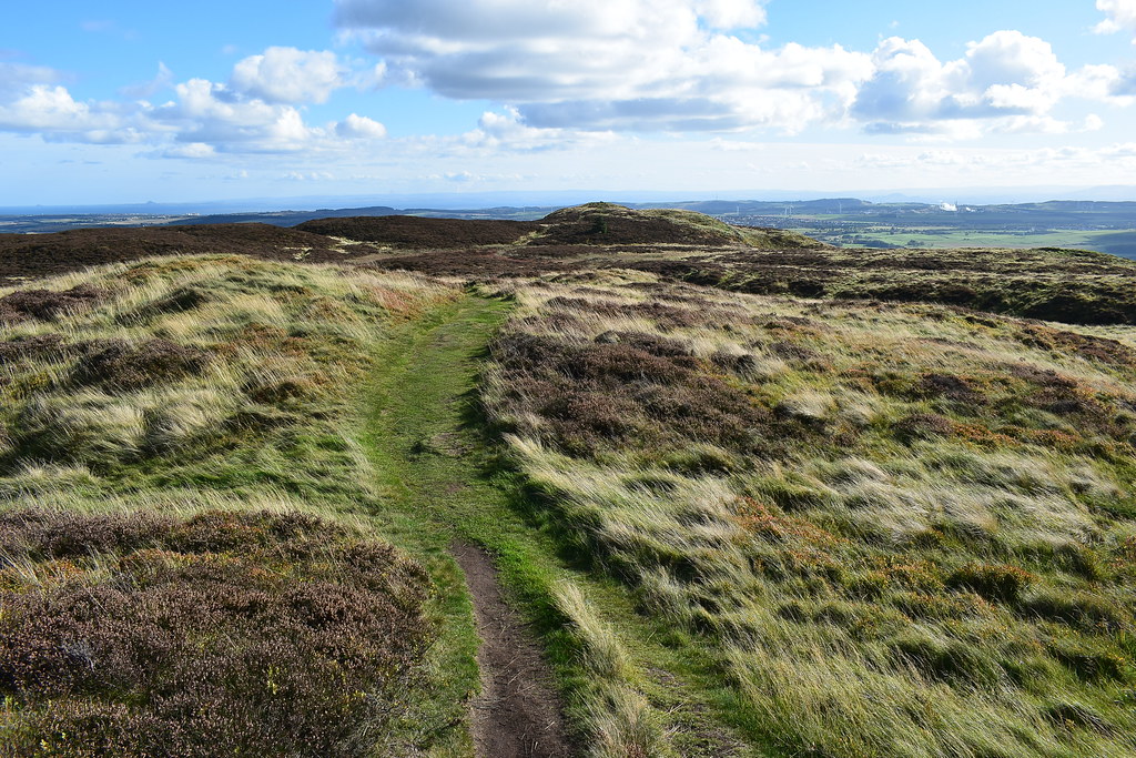
The path is good and the going fast:
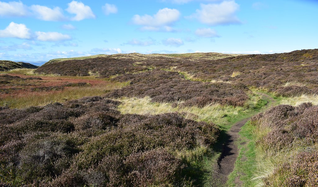 DSC_7519
 by
Chris Mac, on Flickr
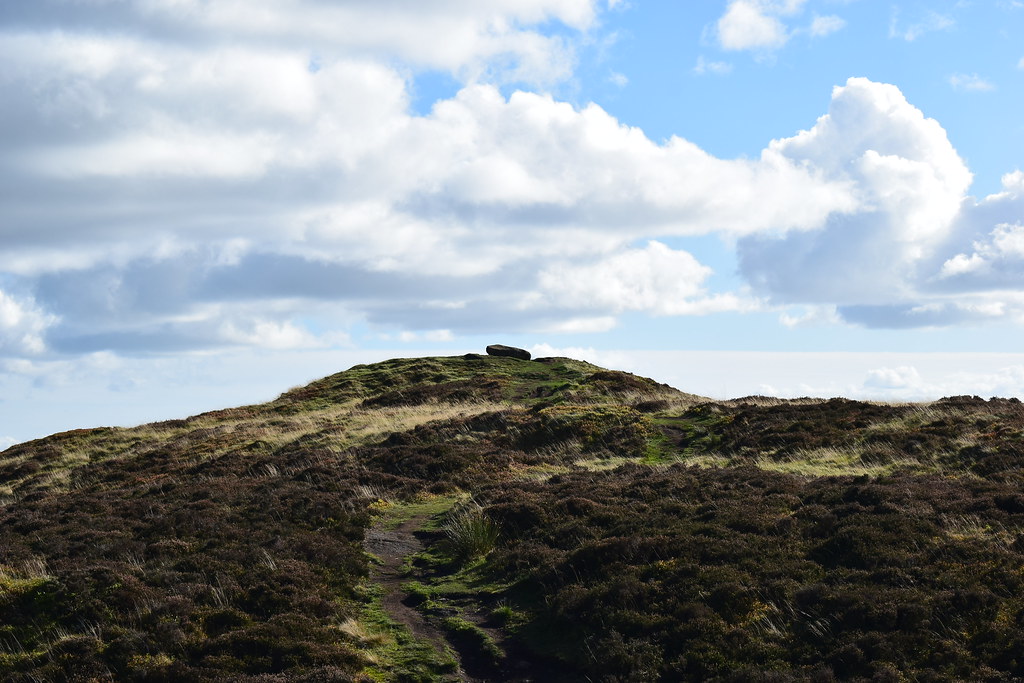
The trig point and top of Benarty Hill approaches...
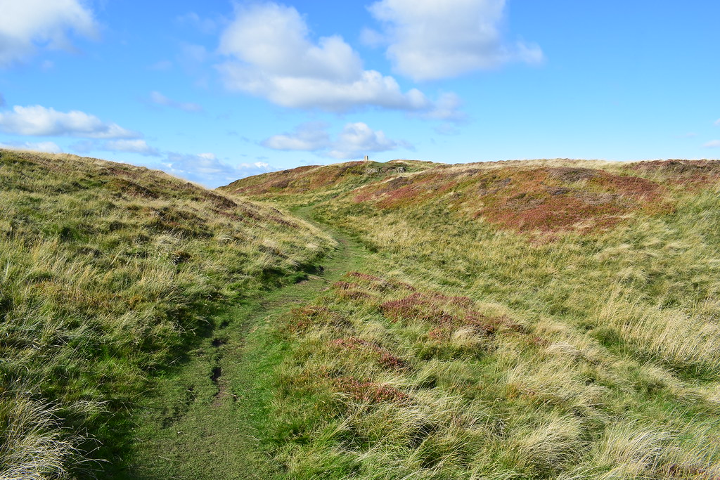 DSC_7527
 by
Chris Mac, on Flickr
 DSC_7529
 by
Chris Mac, on Flickr
 DSC_7533
 by
Chris Mac, on Flickr
Looking back south to the boulder top:
 DSC_7548
 by
Chris Mac, on Flickr
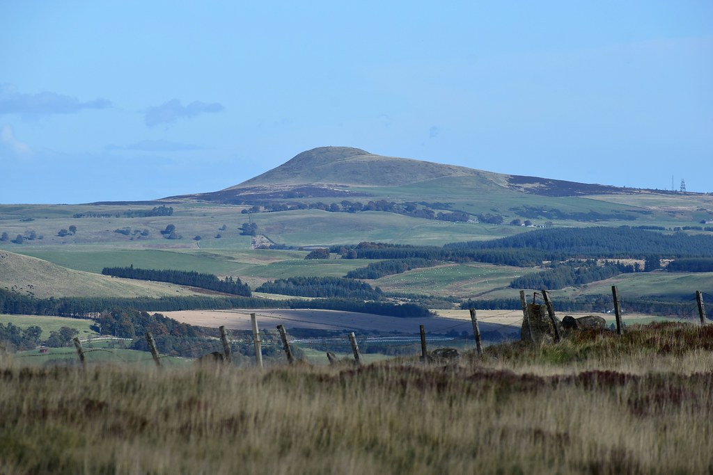
Beyond Castle Craig hill fort next to us the Ochils are looking splendid:
 DSC_7550
 by
Chris Mac, on Flickr
The two Strathyre Munro's again:
 DSC_7552
 by
Chris Mac, on Flickr
Looking directly north and just left of centre the dark and distant summit of Ben Chonzie can be made out, I didn't know it at the time but my friend Michele was up there at the time:
 DSC_7554
 by
Chris Mac, on Flickr
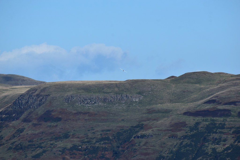
It was a bit hazy and distant towards the Cairgorms so we instead focus on West Lomond & Bishop Hill to the east where some paragliders and gliders are playing:
 DSC_7571
 by
Chris Mac, on Flickr
Quite busy on West Lomond's summit which is sticking out behind Bishop Hill:
 DSC_7573
 by
Chris Mac, on Flickr
Glider:
 DSC_7576
 by
Chris Mac, on Flickr
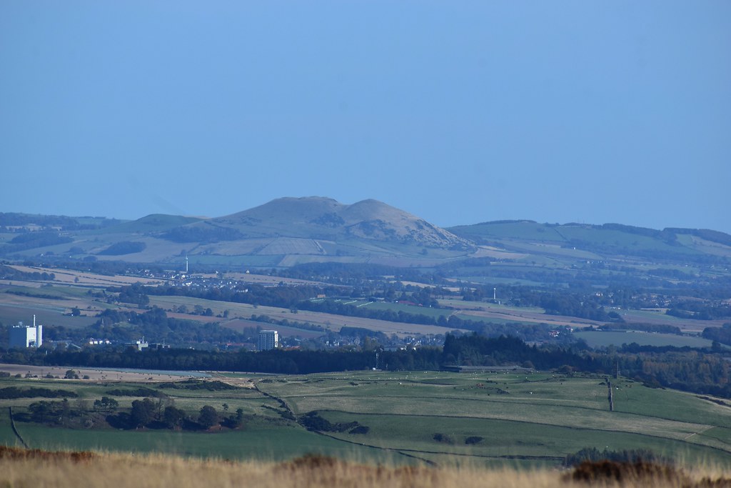
East Lomond looking shapely from here:
 DSC_7609
 by
Chris Mac, on Flickr
The Lomond Hills are another to return here for, either for some smaller individual winter walks or do all three at once if it's just me, i've already got a nice route planned for them:
 DSC_7612
 by
Chris Mac, on Flickr
Looking further south east over the heather atop Benarty Hill we spot a bird of prey in hover mode, eyeing up some lunch! I get a few photos, it's fairly big but not as big as a Buzzard and with pointier wings:
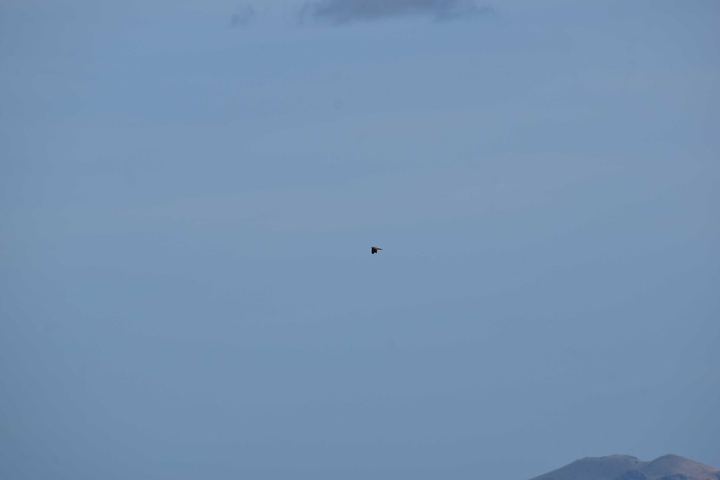 DSC_7615
 by
Chris Mac, on Flickr
I'm pretty certain it was a Marsh Harrier but i'm happy to be corrected:
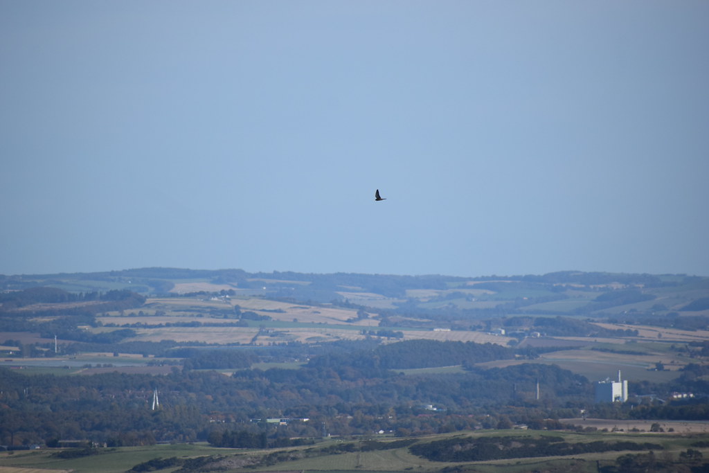 DSC_7639
 by
Chris Mac, on Flickr
Looking west now:
 DSC_7653
 by
Chris Mac, on Flickr
Not only Abbey Craig and the Wallace Monument but way beyond are the Loch Lomond Grahams and Beinn Eich which I was also up earlier in the year while looking over in this direction:
 DSC_7657
 by
Chris Mac, on Flickr
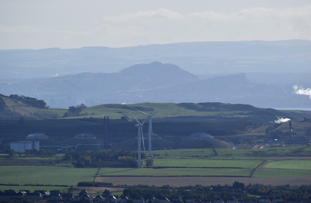
Still counting hills we've been up, Dumyat is next, looking very rocky and grand all day any time we saw it, deservedly popular:
 DSC_7659
 by
Chris Mac, on Flickr
Ochils:
 DSC_7666
 by
Chris Mac, on Flickr
 DSC_7667
 by
Chris Mac, on Flickr
Ben Cleuch summit:
 DSC_7668
 by
Chris Mac, on Flickr
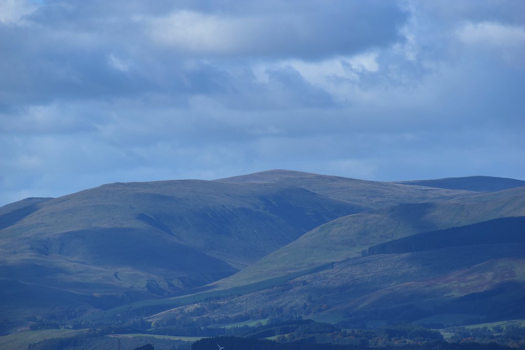
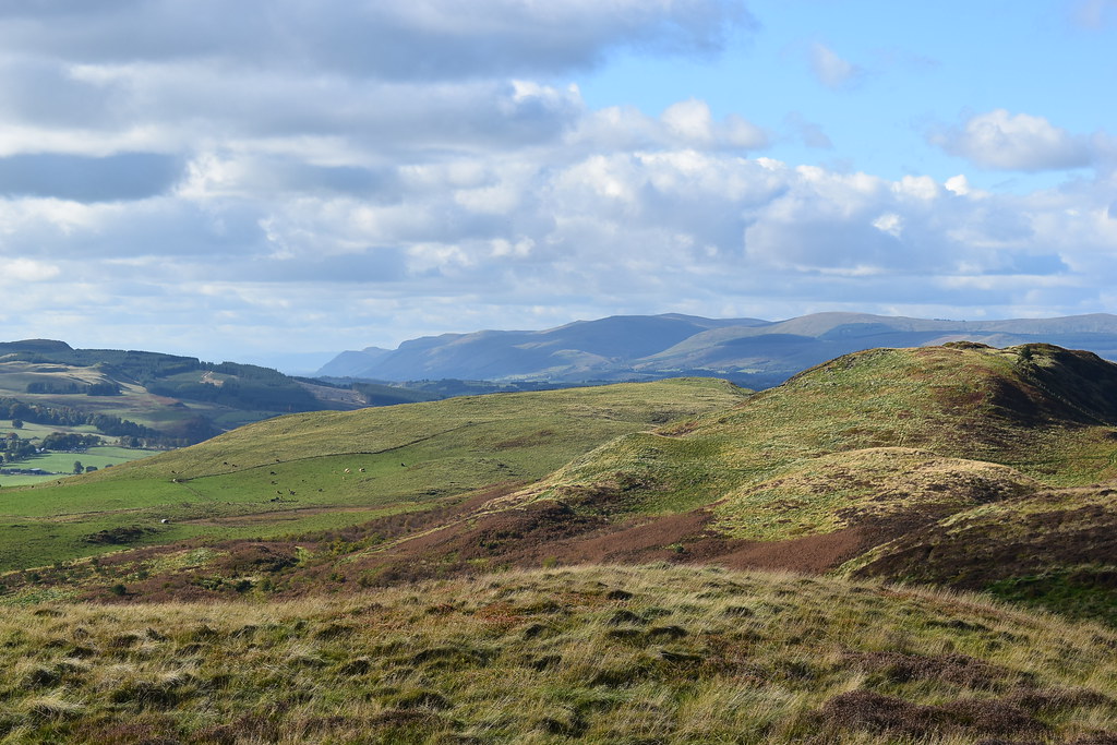
A closer look at Stuc a' Chroin and Ben Vorlich:
 DSC_7670
 by
Chris Mac, on Flickr
I might have to see about getting up Stuc a' Chroin sometime soon...
 DSC_7672
 by
Chris Mac, on Flickr
Kinross to the north:
 DSC_7681
 by
Chris Mac, on Flickr
Visibility was clearing a bit and in the distance towards Perth I could make out the beasts of Beinn a' Ghlo:
 DSC_7694
 by
Chris Mac, on Flickr
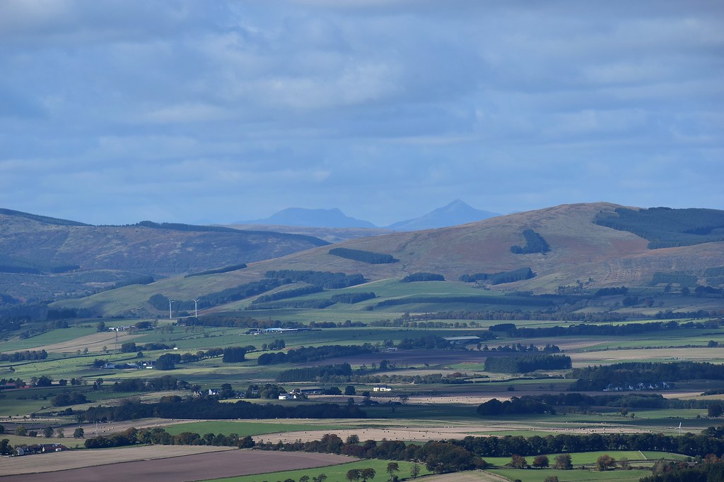
There isn't much to see north east so continuing round past the Lomond Hills and Largo Law is the next prominent peak:
 DSC_7716
 by
Chris Mac, on Flickr
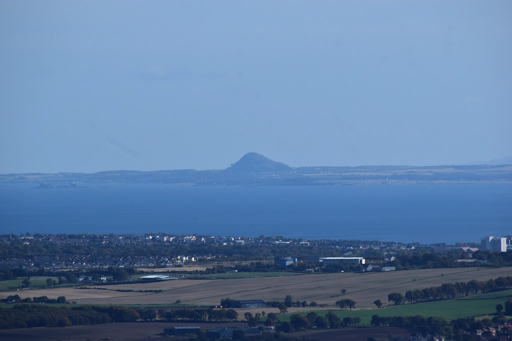
Bass Rock and North Berwick Law are easier to make out now:
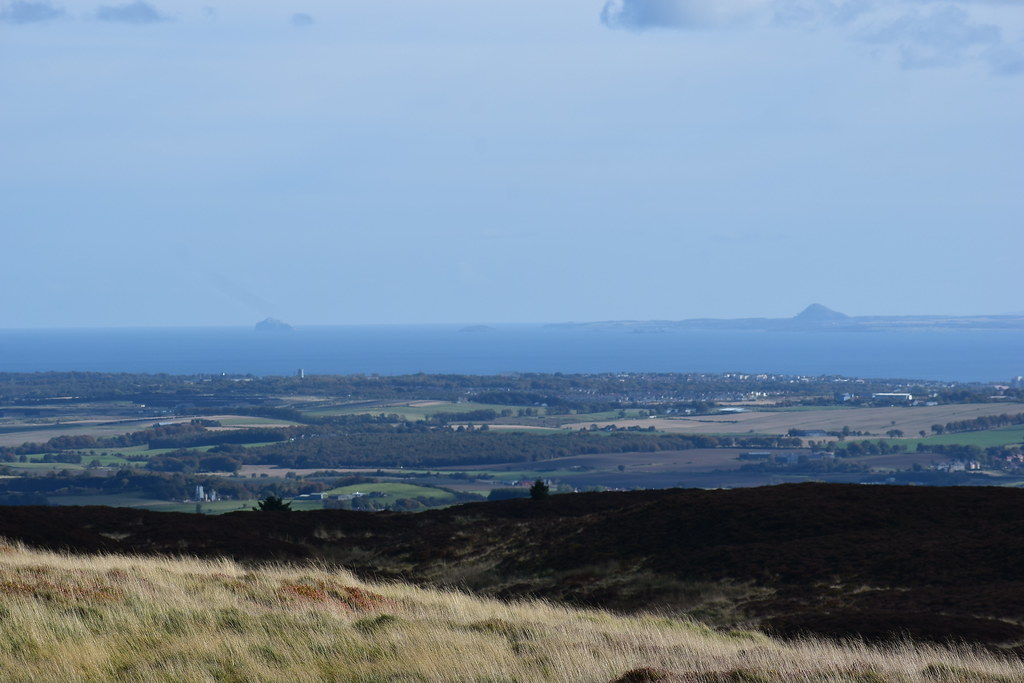 DSC_7718
 by
Chris Mac, on Flickr
I've not got many SIBs... this would be a good addition:
 DSC_7720
 by
Chris Mac, on Flickr
As much as I love bigger hills, I have an equal love for the wee ones and the view from them:
 DSC_7724
 by
Chris Mac, on Flickr
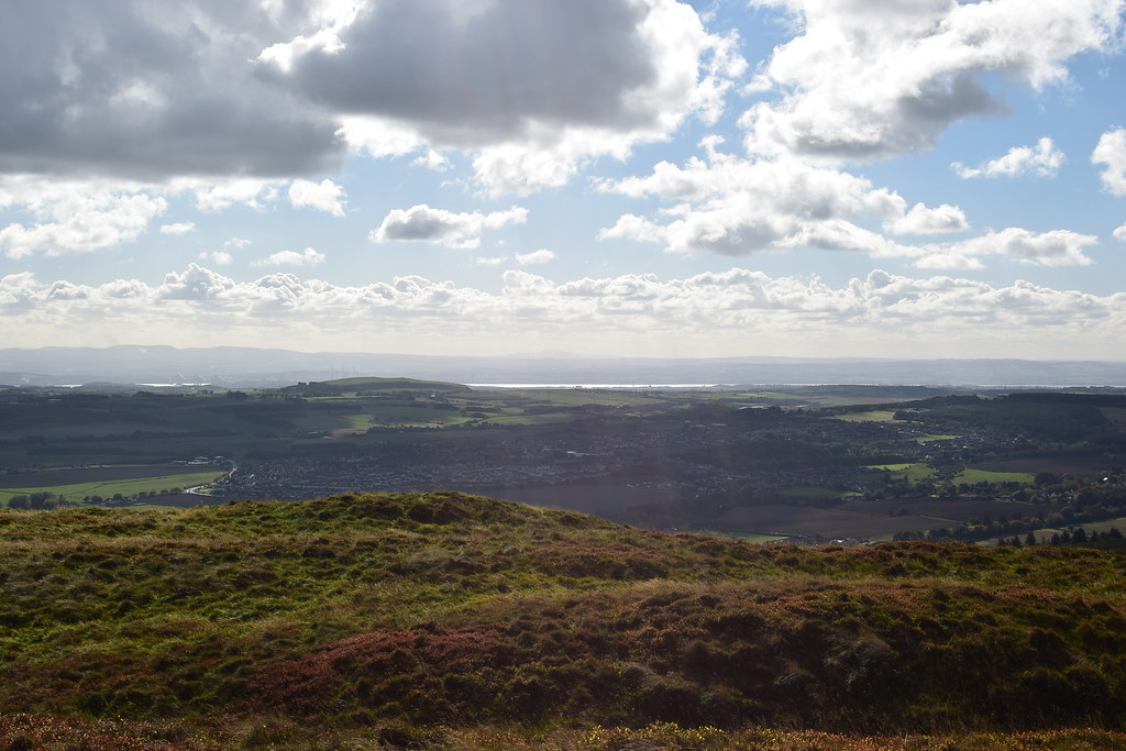
South again and Arthur's Seat stands out in the middle of yon Empress of the North:
 DSC_7728
 by
Chris Mac, on Flickr
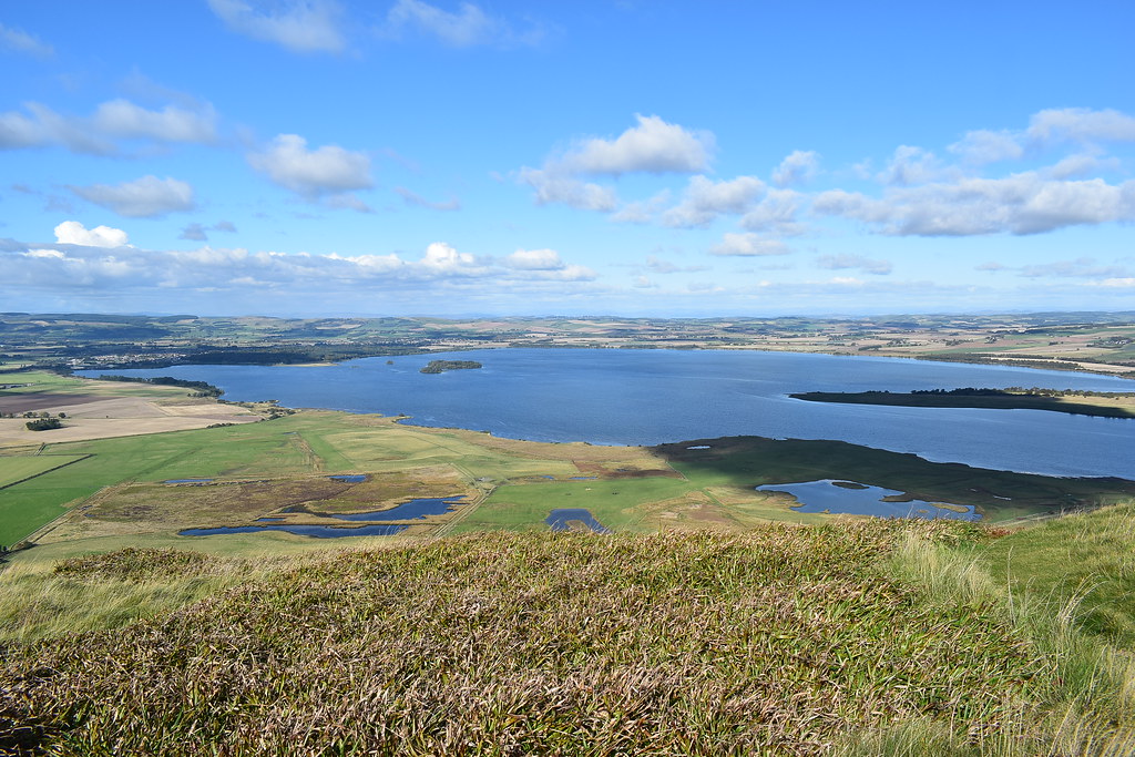
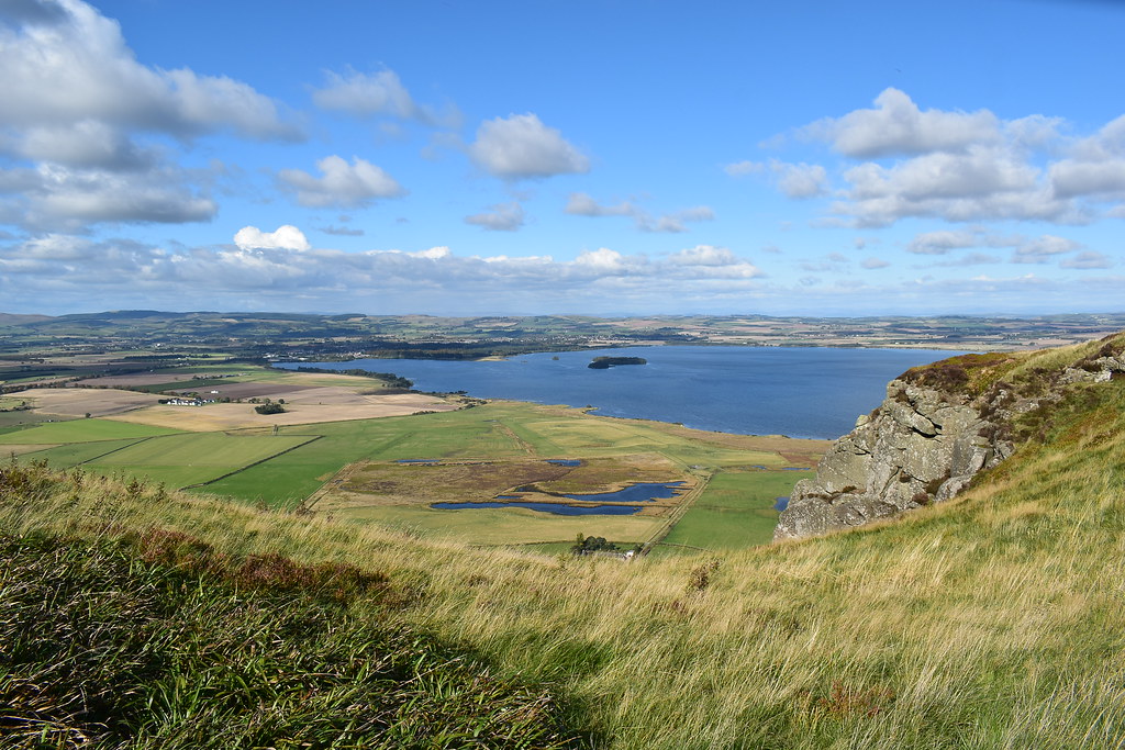
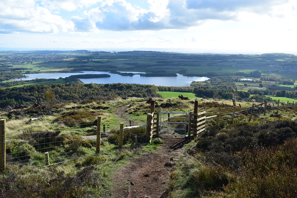
Loch Leven down below:
 DSC_7732
 by
Chris Mac, on Flickr
St. Serf's Island, West Lomond and Bishop Hill:
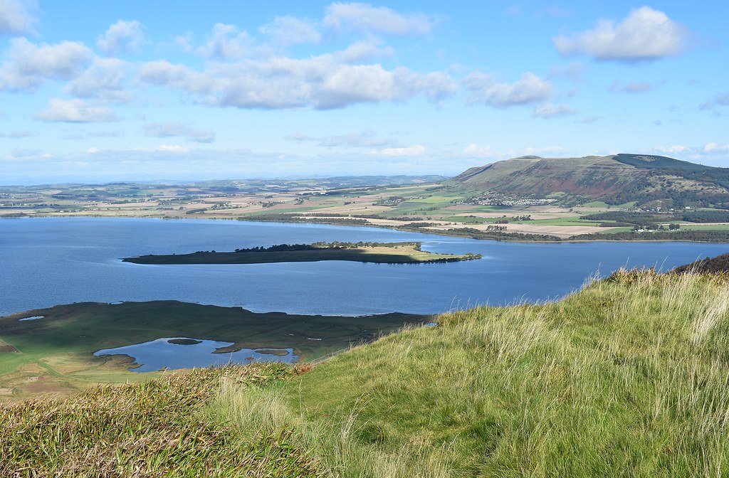 DSC_7734
 by
Chris Mac, on Flickr
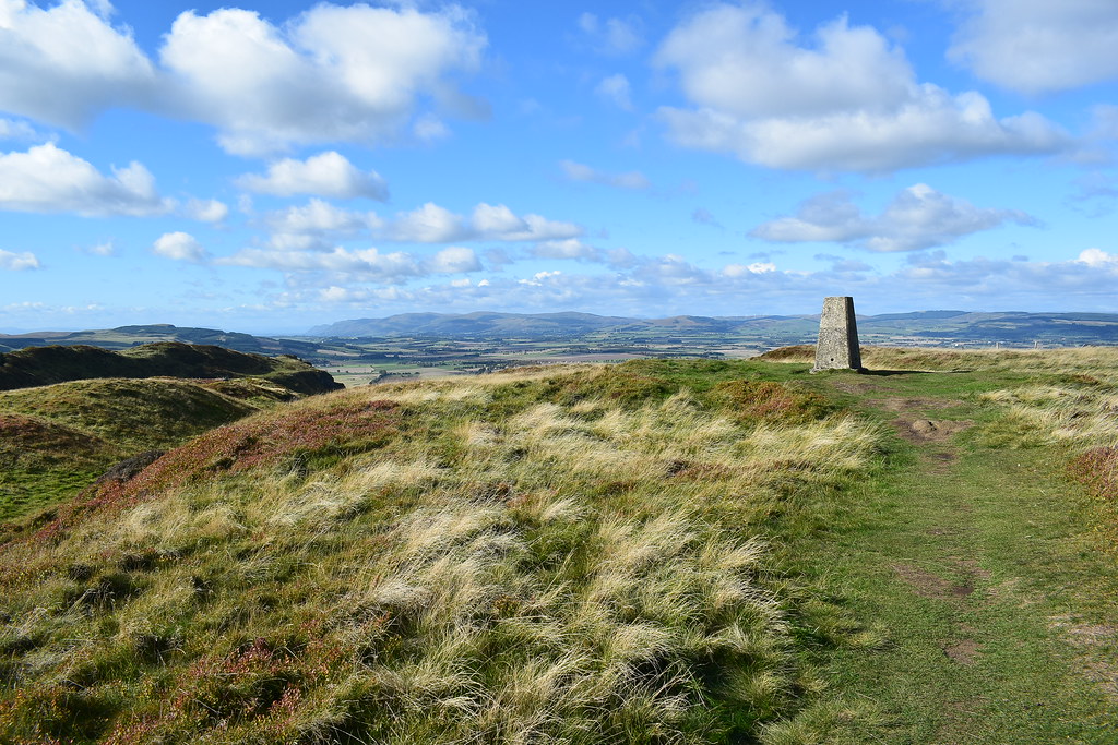
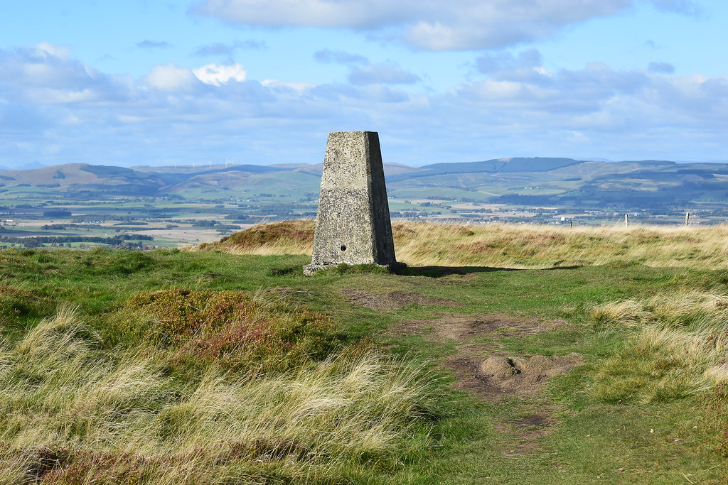
Trig point:
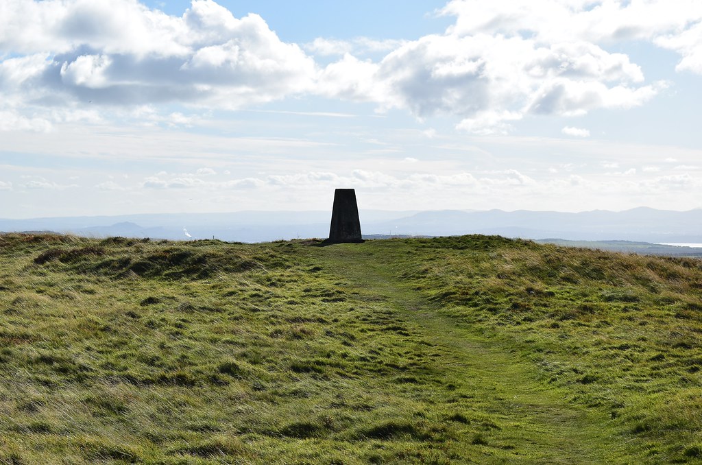 DSC_7738
 by
Chris Mac, on Flickr
Satisfied after a good nosey around and a snack, we decide to move on again and go to investigate the hill fort, with me hoping to coninue the walk as a loop but with Y enjoying the walk so far and me not wanting a repeat of the hellish off-piste descent from Misty Law during our last walk back in August I decide to scope out the terrain first.
So far so good, grassy path and track:
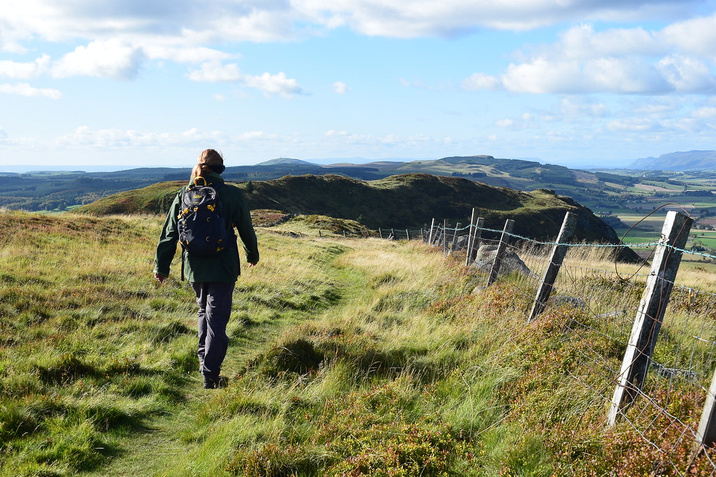 DSC_7742
 by
Chris Mac, on Flickr
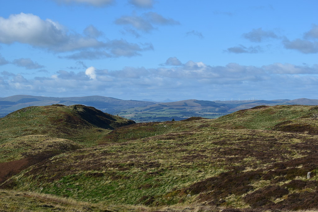
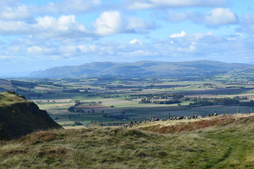
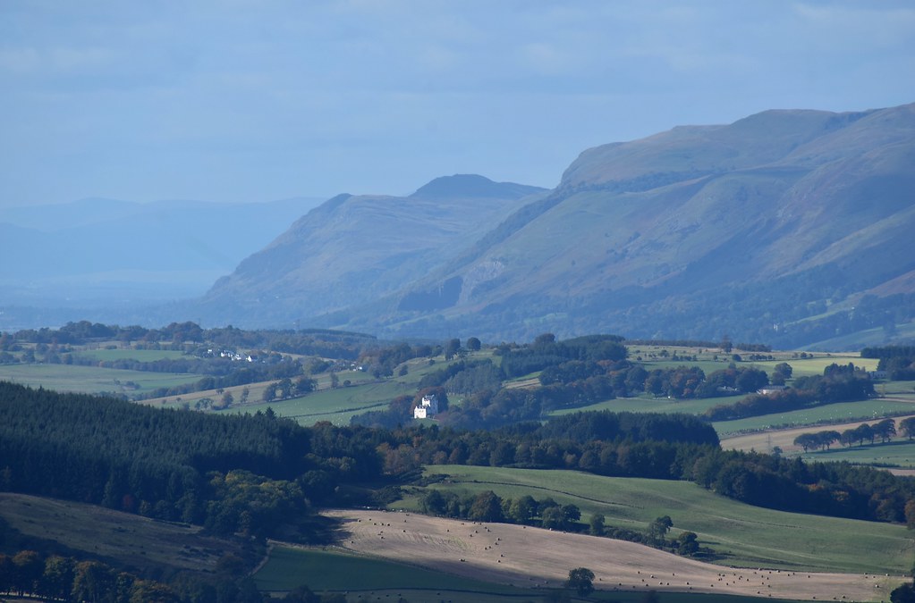
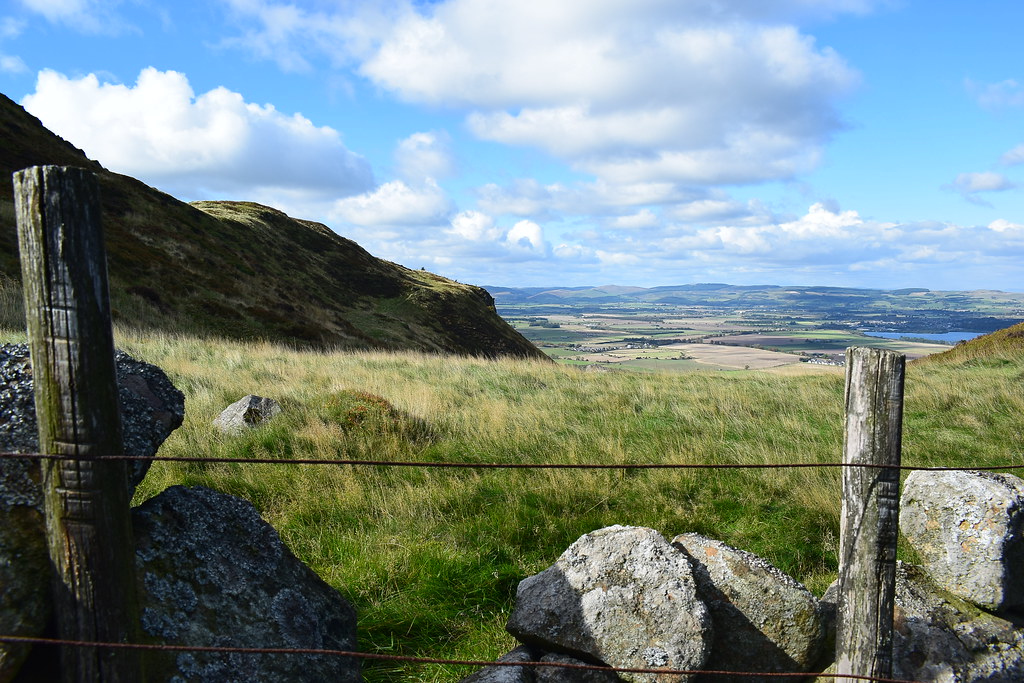
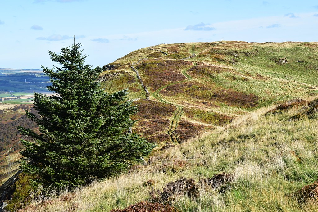
Castle Craig and the lovely view west:
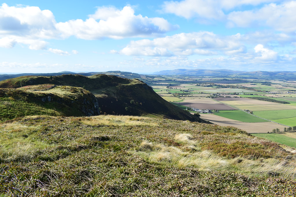 DSC_7748
 by
Chris Mac, on Flickr
Passing some of the crags:
 DSC_7758
 by
Chris Mac, on Flickr
For a short while one of the gliders we had seen earlier was slowly buzzing towards us, eventually providing a slo-mo fly past...
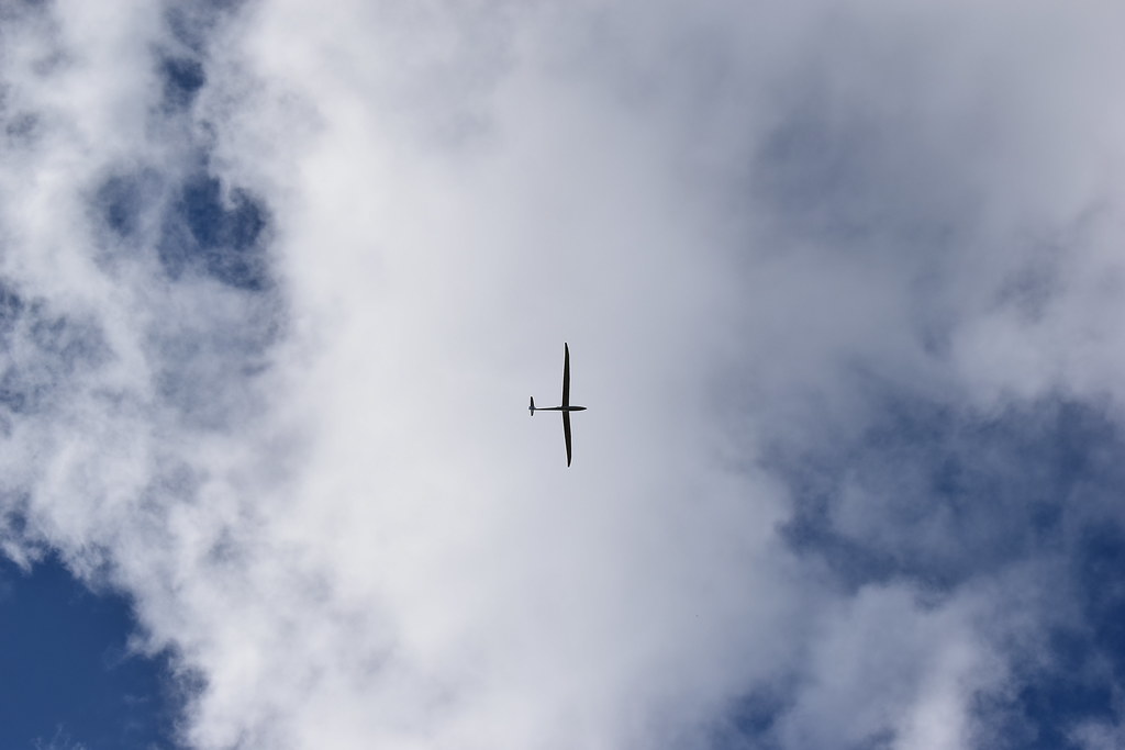 DSC_7772
 by
Chris Mac, on Flickr
Hill fort exploration time now:
 DSC_7777
 by
Chris Mac, on Flickr
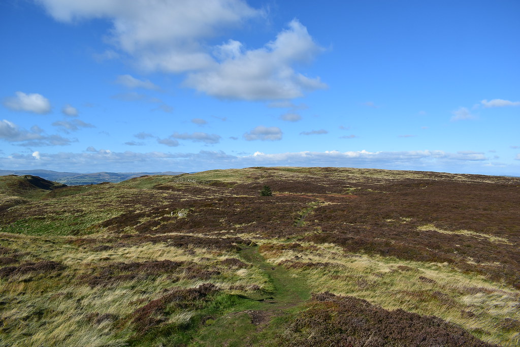
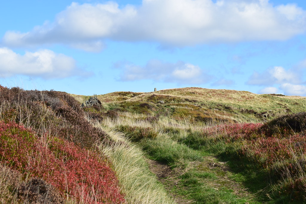
The track dips then it's a steep section:
 DSC_7784
 by
Chris Mac, on Flickr
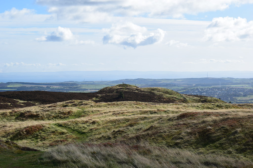
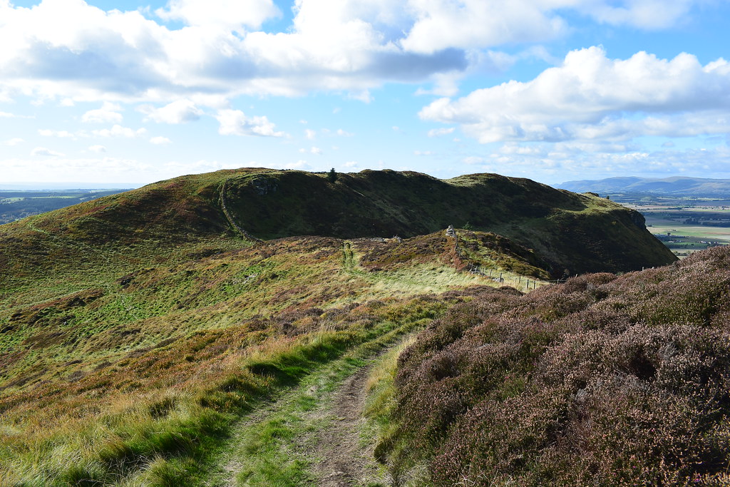
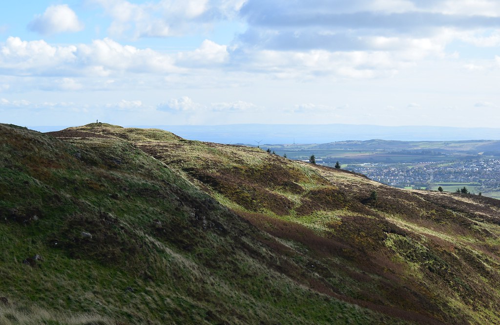
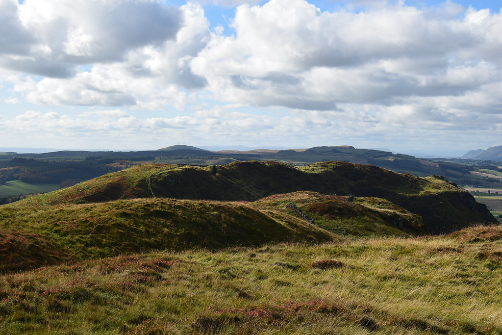
Looking back to Benarty Hill:
 DSC_7787
 by
Chris Mac, on Flickr
We continue on...
 DSC_7798
 by
Chris Mac, on Flickr
...crossing the wall/fence twice:
 DSC_7805
 by
Chris Mac, on Flickr
Mulla Craig ahead but unfortunately now we were in a field, not good going for Y's ankles and no sign of the path, it may have started up again further along but indications were not favourable for us continuing on...
 DSC_7806
 by
Chris Mac, on Flickr
We decide to not play with the cattle and head back, enjoying the excellent view north as we do so:
 DSC_7809
 by
Chris Mac, on Flickr
The dip then track back up to the trig point:
 DSC_7811
 by
Chris Mac, on Flickr
At the bottom we investigated a faint quad trail to the right before realising it stopped, no short cut back, returning to the main track.
It's a quick down and up again:
 DSC_7820
 by
Chris Mac, on Flickr
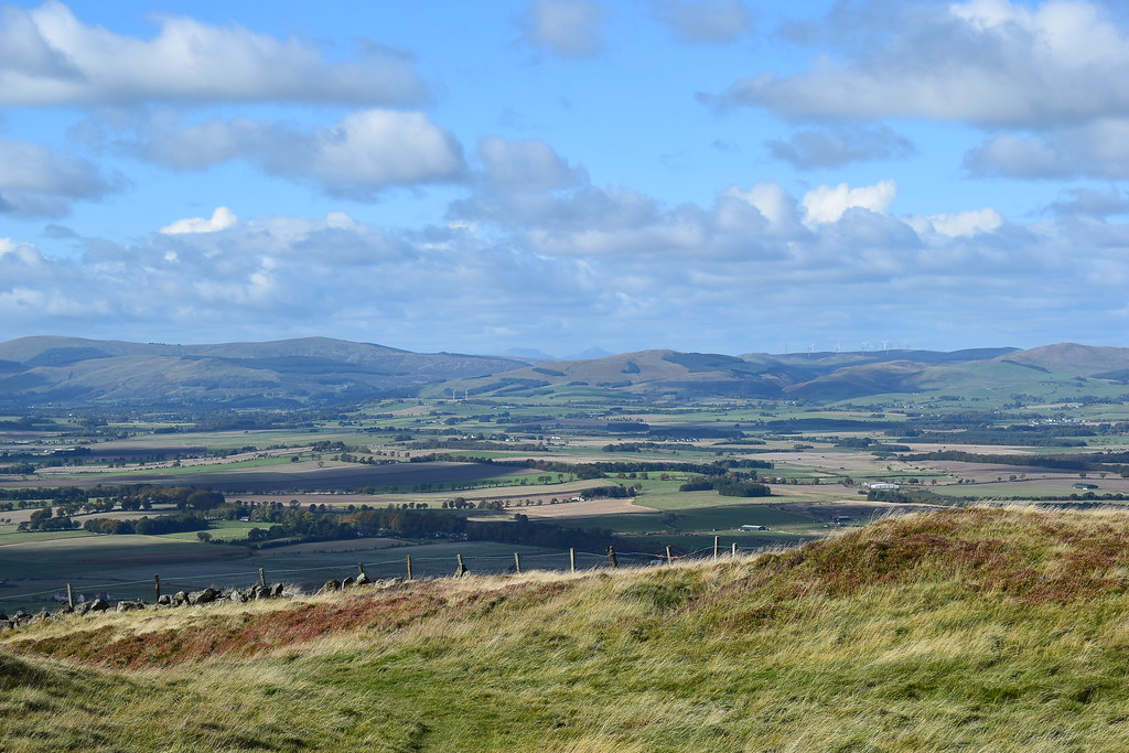
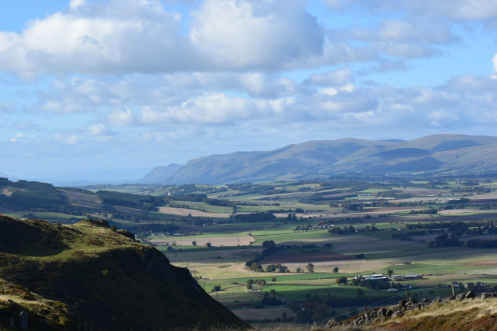
South:
 DSC_7821
 by
Chris Mac, on Flickr
North:
 DSC_7829
 by
Chris Mac, on Flickr
South west:
 DSC_7834
 by
Chris Mac, on Flickr
West towards Knock Hill and Dumglow:
 DSC_7837
 by
Chris Mac, on Flickr
The Ochils:
 DSC_7839
 by
Chris Mac, on Flickr
South east...
 DSC_7850
 by
Chris Mac, on Flickr
Our second trig point visit done it was time to set off downhill but our mini adventure wasn't quite over...

Back to the boulder:
 DSC_7881
 by
Chris Mac, on Flickr
 DSC_7885
 by
Chris Mac, on Flickr
 DSC_7888
 by
Chris Mac, on Flickr
Knock Hill and Dumglow:
 DSC_7890
 by
Chris Mac, on Flickr
A last look at the Ochils:
 DSC_7892
 by
Chris Mac, on Flickr
Back at the gate:
 DSC_7896
 by
Chris Mac, on Flickr
After the gate we decided to head straight down one of the recently plouged trails...
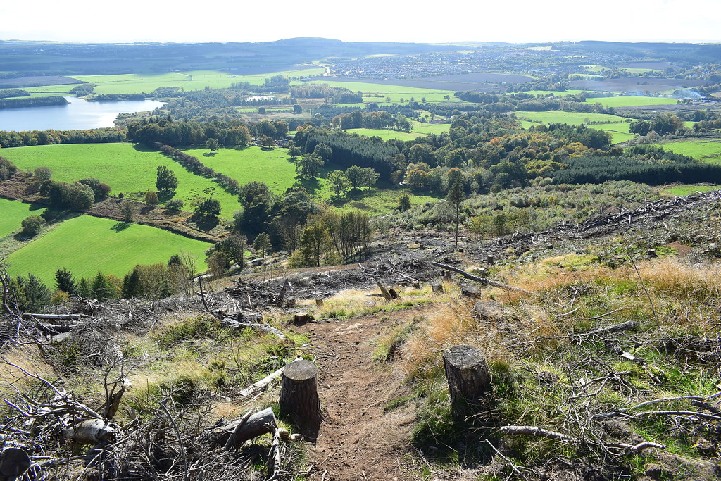 DSC_7902
 by
Chris Mac, on Flickr
Unfortunately we overshot where we should have joined the path we took up and didn't realise until after we had carefully descended a few steep and loose sections of muddy, rocky, grassy hillside path. Sack going back up, we figured the trail would lead back down hill and it looked like we were now taking a more direct root back to the start, nothing like a bit of improvisation!
Enjoying one last view of the Pentlands waiting for Y to descend:
 DSC_7907
 by
Chris Mac, on Flickr
I never got one complaint during this surprise final section so perhaps earlier training on the Hill of Stake and Tighvein made a steep descent on a path seem easy going by comparison! to a pathless descent!
We were spot on, instincts and good balance and technique due to a lack of poles (who would have thought you could be doing with them on Benarty Hill?!) got us safely down the steep section and the trail led out right back to the start of the stepped path, job done:
 DSC_7913
 by
Chris Mac, on Flickr
It was still lovely, sunny and dry with little wind so we were surprised there wasn't many more people out on the hill, maybe they were all on the bigger ones... we were more than happy with our Benarty Hill adventure though, it may have been small scale in both height, length and difficulty (unless you try hard like we did to make it trickier) but it had everything you want from a hill wrapped up in an tiny and easy going 2 hour package, what's not to like?
