free to be able to rate and comment on reports (as well as access 1:25000 mapping).
Corbetts: Beinn Dearg, Little Wyvis.
Grahams: Beinn a' Chlachain.
Date: 16 - 19/10/2018.
Distance: 60.5km.
Ascent: 3290m.
Time: 19 hours, 45 minutes.
Weather: Tuesday evening - heavy showers. Wednesday - sunny with showers. Thursday - grey with cloud moving in/out. Friday - sunny with showers and cold wind.
We had discussed doing some walking in October - perhaps a trip into Fisherfield or Knoydart. Once we'd agreed on the when (3rd weekend of October, plus a couple of days leading up to it), it was time to decide the where. Jackie was already in the Highlands that week doing various other things and in the run-up to the trip, the weekend itself began to look appalling. The days beforehand less so, so we made a last-minute decision to head up to Applecross on the Tuesday evening and do some less committing walking, using bothies rather than camping.
________________________________________________________
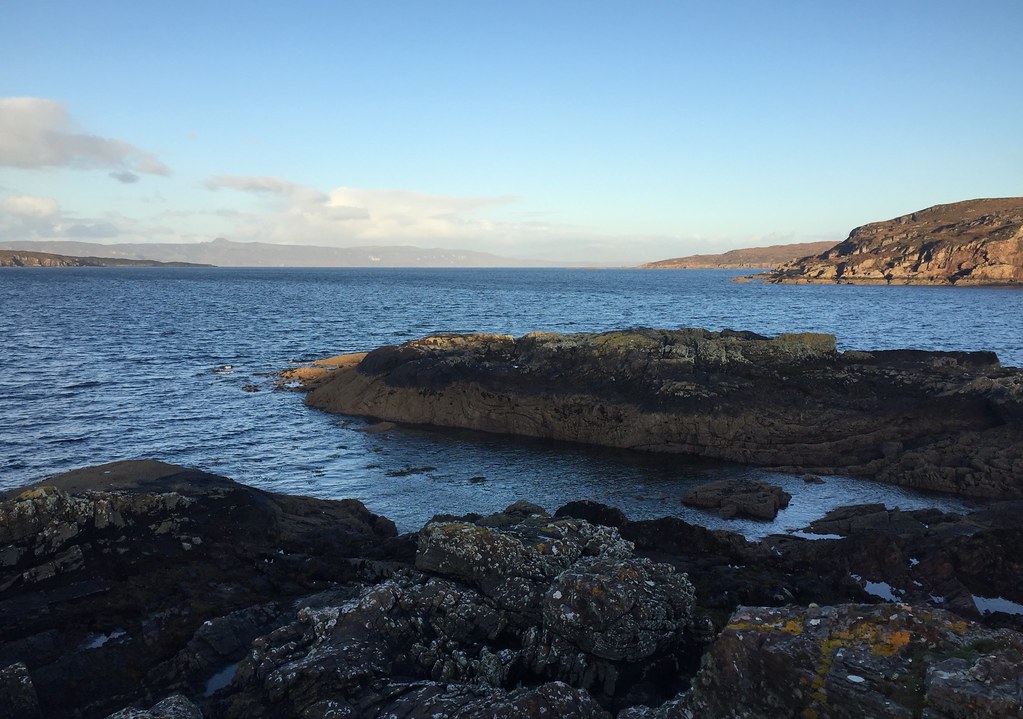
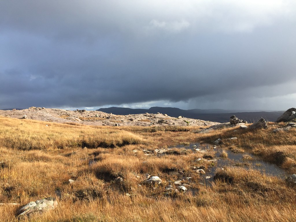
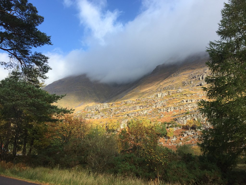
Tuesday 16th October: Uags walk-in - 10km, 380m ascent, 3 hours, 30 minutes.I headed off to Lochcarron to meet Jackie immediately after work on Tuesday evening, arriving shortly before 7pm. It was tipping it down there as we moved everything into my car and went for a somewhat alarming drive over the Bealach na Ba (I could barely see where the road went next on some of the hairpins!). Fortunately it had stopped raining by the time we reached the parking area at Toscaig pier, and there were only a couple of showers on the walk-in.
It was well and truly dark when we began walking, and while obvious, the path was pretty squelchy with a couple of interesting burn crossings. The going was rather slow by headtorch and it took us closer to 2 hours than the one that I had imagined

. Rolling into the bothy just before 10pm, we stumbled across a couple of guys asleep by the fire. We camped out in an upstairs room instead, no longer having any use for the coal I had lugged in.
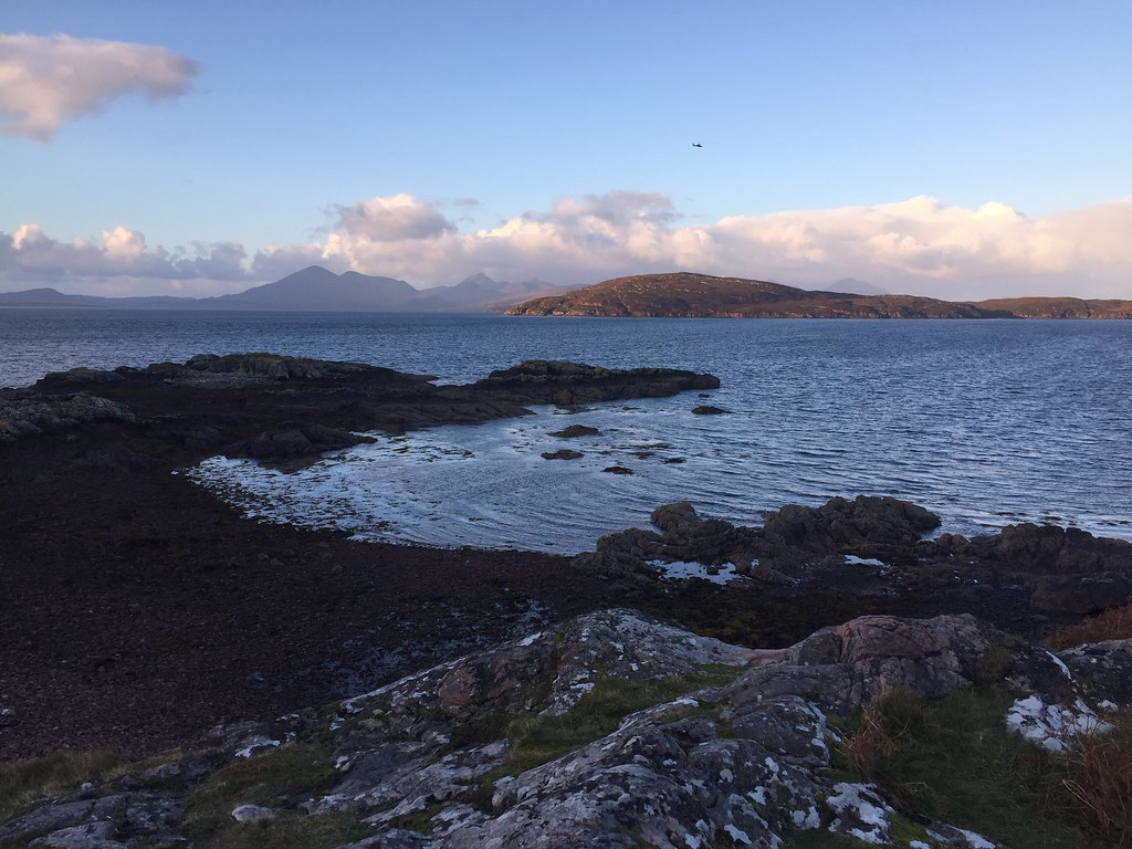
Nice bothy, and what a spot to wake up in! The more coastal bothies I go to , the more of them end up being my favourites. This one is easily up there in the top 5

.
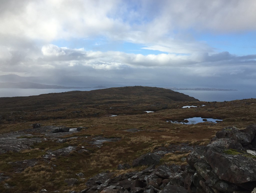
 Broadford hills and Crowlin Islands
 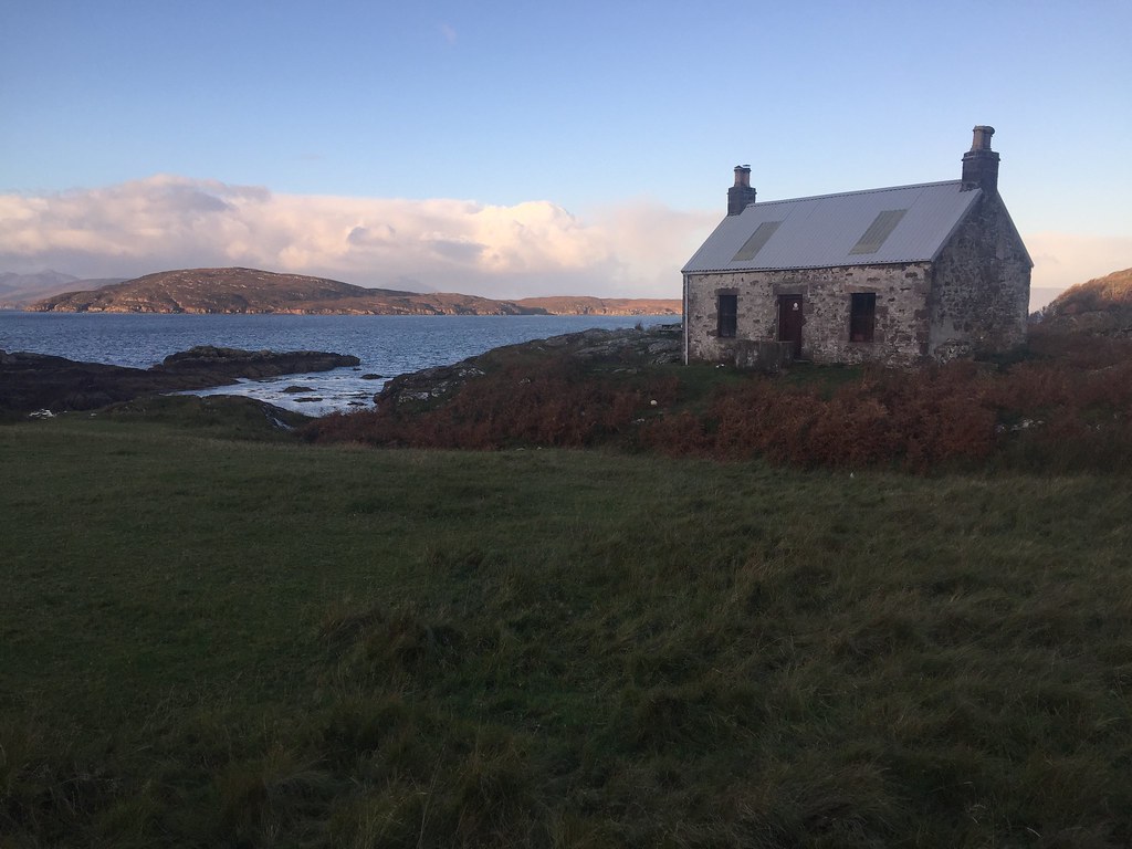 Uags
Uags  Uags from the shore
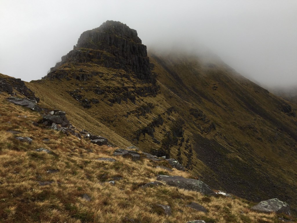
 We weren't up particularly early, and by the time we had explored the area around the bothy and ambled back to the car (taking lots of photos along the way), time for doing a circuit of the Applecross Corbetts was looking a bit tight.
 Raasay and Dun Caan
 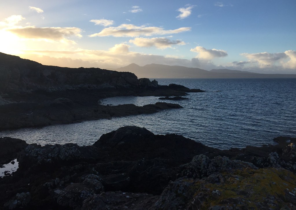 Kylerhea hills
 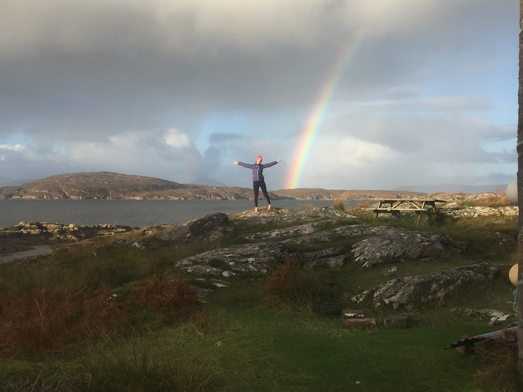 Outside Uags
 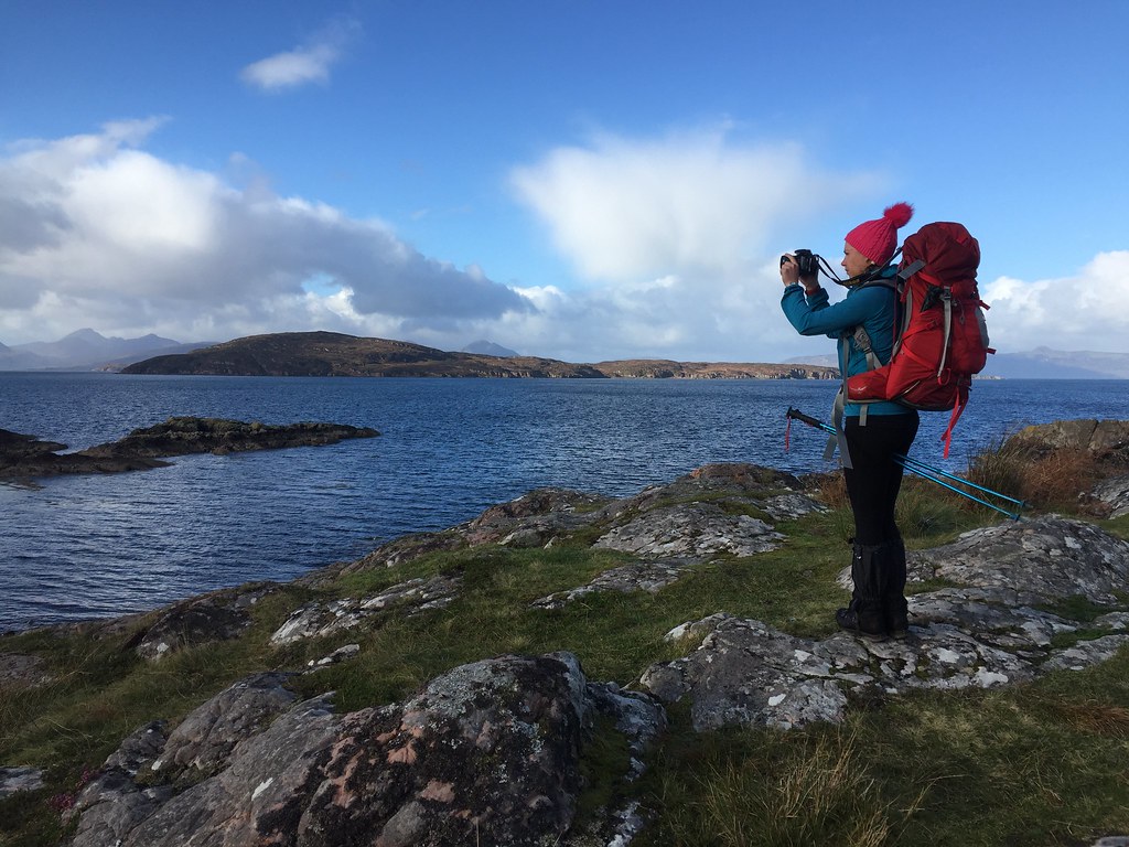 Starting the walk-out
  Eilean Mor and the Red Cuillin
 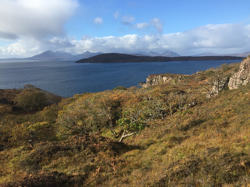 Skye
Skye 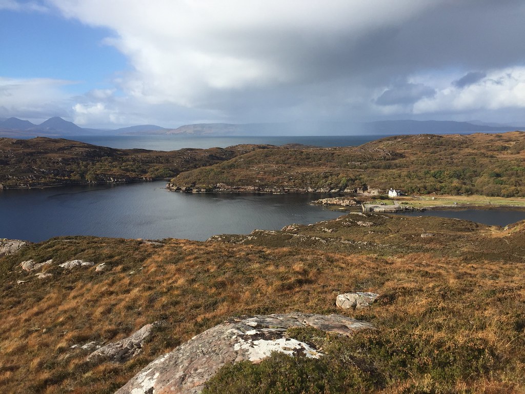 Shower moving in over Toscaig
 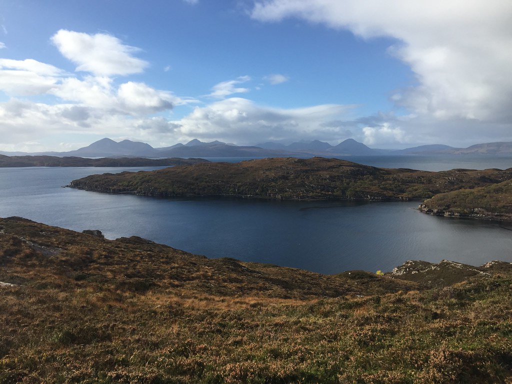 Across Loch Toscaig
 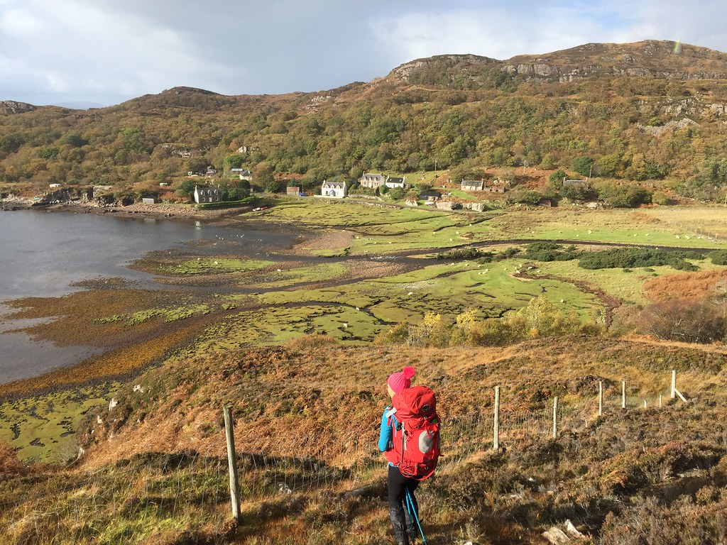 Toscaig from the walk-out
 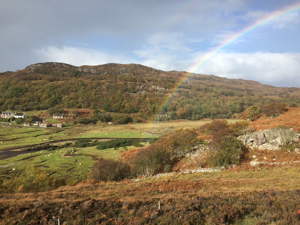 Final descent
 Rather than rush around the hills by the shortest possible route, we changed our plan - lunch at the Applecross Inn followed by a much shorter ascent of Beinn a' Chlachain

.
________________________________________________________
Wednesday 17th October: Beinn a' Chlachain - 11km, 660m ascent, 3 hours, 25 minutes.
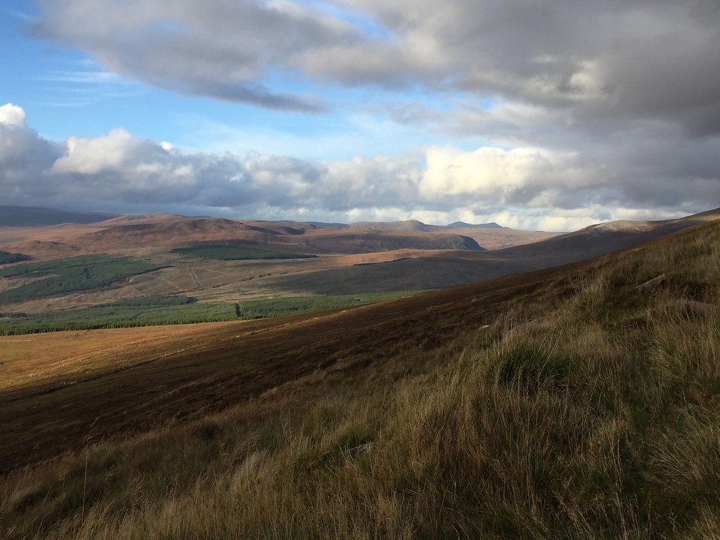
Coire Fhionnaraich walk-in: 6.5km, 200m ascent, 1 hour, 35 minutes.Lunch was great as expected, although we only just arrived in time for a table (dozens of folk poured in after us and there was a bit of a logjam). Then onto the carpark at Cruarg and up the initial section of old coast path/road. Before long, we were leaving that and hitting the heather. The terrain isn't exceptionally bad up here, but it is a long slow haul up onto the ridge.
 Beinn a Chlachain from the Applecross Inn
 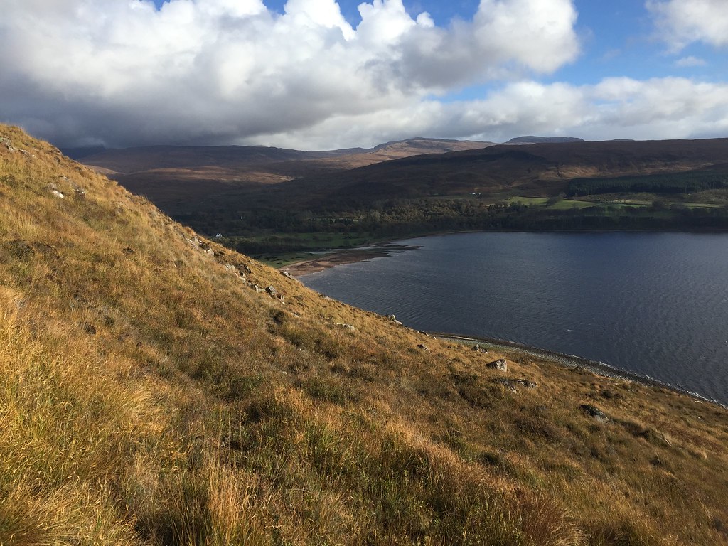 Applecross Bay
 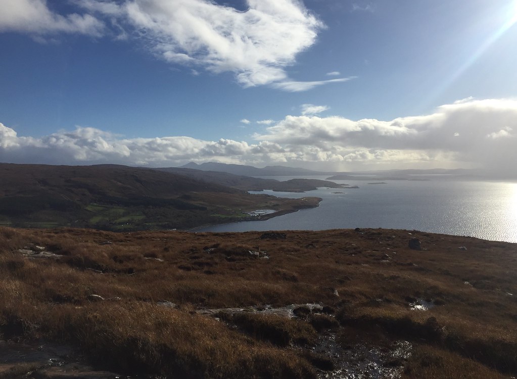 Inner Sound and Applecross
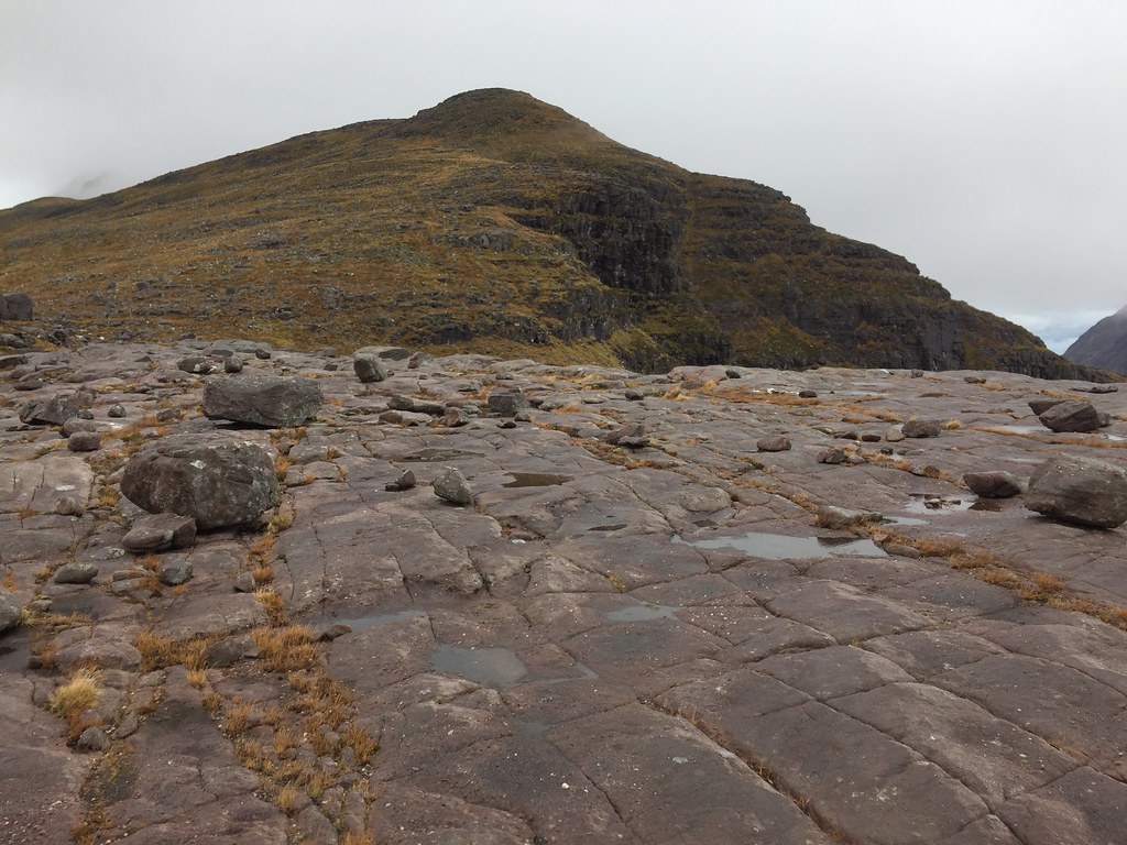
 Fortunately there was plenty of interest with the views over to Raasay, the Inner Sound islands and Skye, with the skies ever changing. Plenty of sandstone slabs to stroll over higher up, not to mention funny shaped erratics to look at.
 Showers over the Inner Sound
 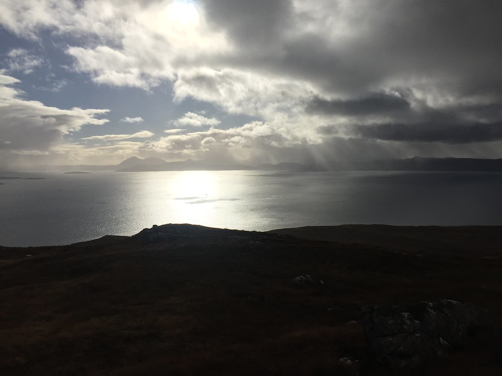 Skye
Skye 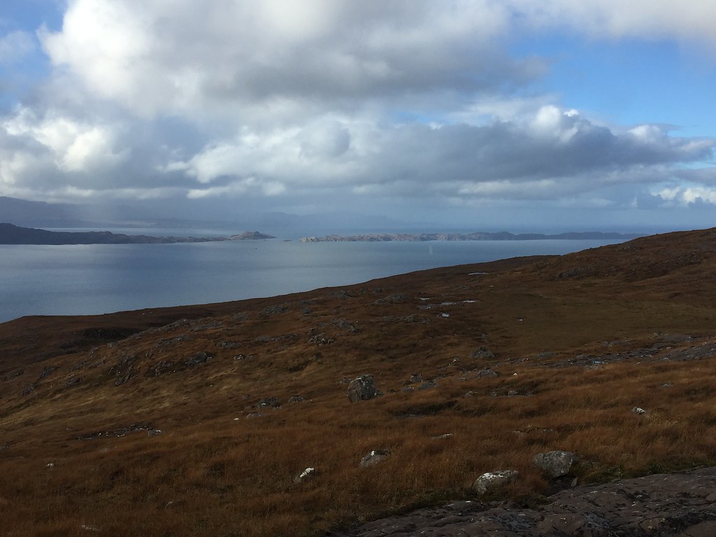 North end of Raasay and Rona
 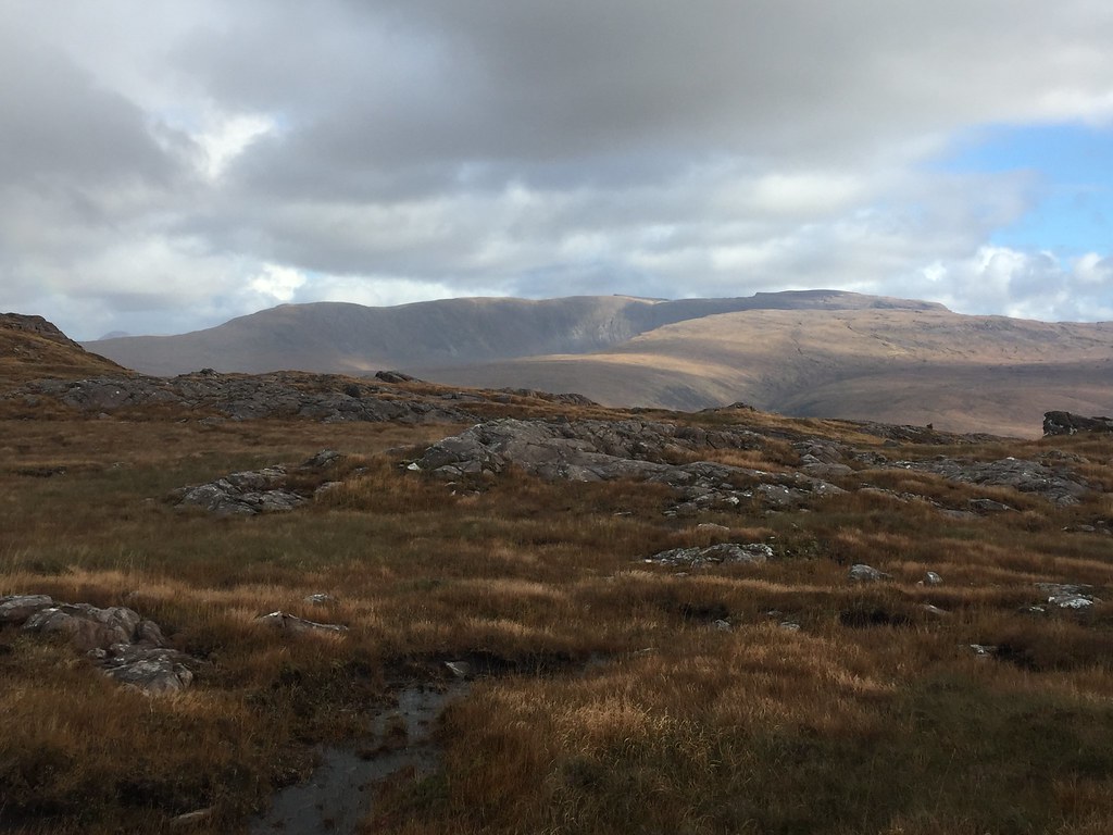 Beinn Bhan
 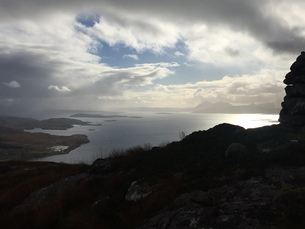 Crowlin Islands and Skye
 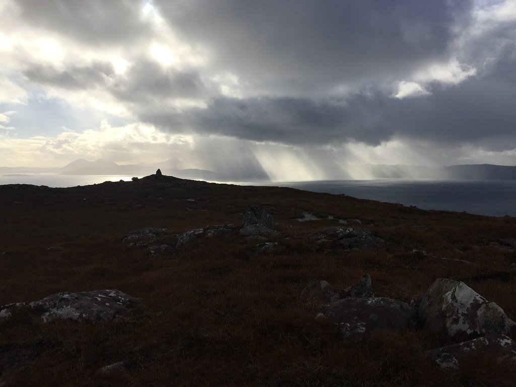 Cairn at around 400m
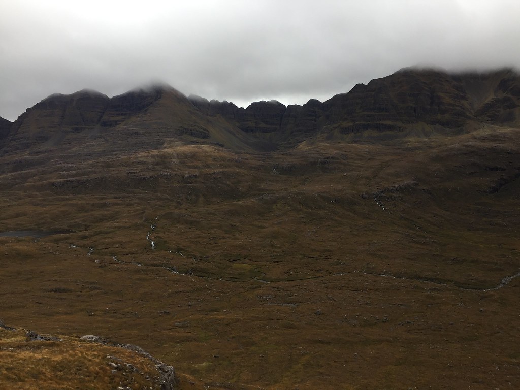
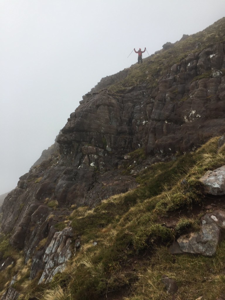
 After the minor cairned summit at around 400m, there was a bit of a fault which produced a sheer rockface. We had to dodge about a bit to find a way down this, eventually finding a route to the southeast.
 Beinn Bhan and autumn colours
 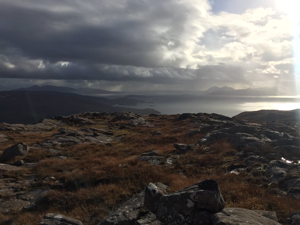 South from Beinn a Chlachain
 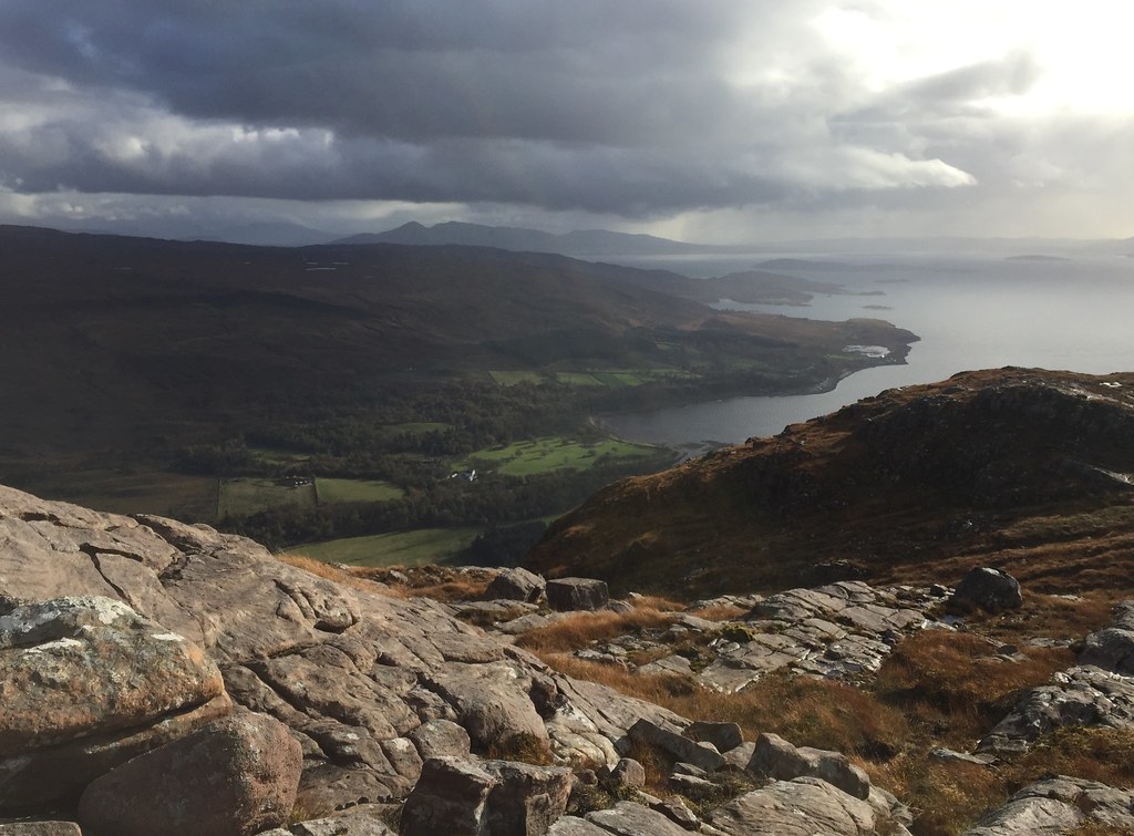 Applecross
 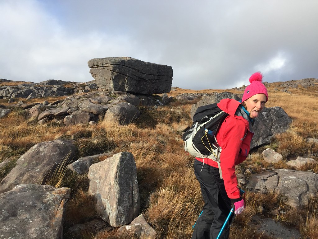 Someone ruining my shot of a boulder
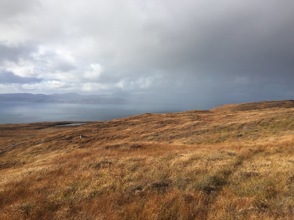
 Finally the next hummock in the ridge appeared to be the summit. Although not in the clag, the clouds had moved in at this point, particularly in the east, so the views back to Torridon were mostly obscured. Still a great light out to the west though.
 Summit
 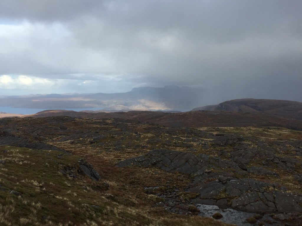 Looking towards Diabaig from the summit
 Not fancying the long trek back across the western flanks, we opted to drop down the SW side of Coire Glas, retracing our steps a short distance to reach the spur. This was pretty steep! Fair to say there were a few slips and slides on the way down, but at least it was quick.
 Coire Glas
 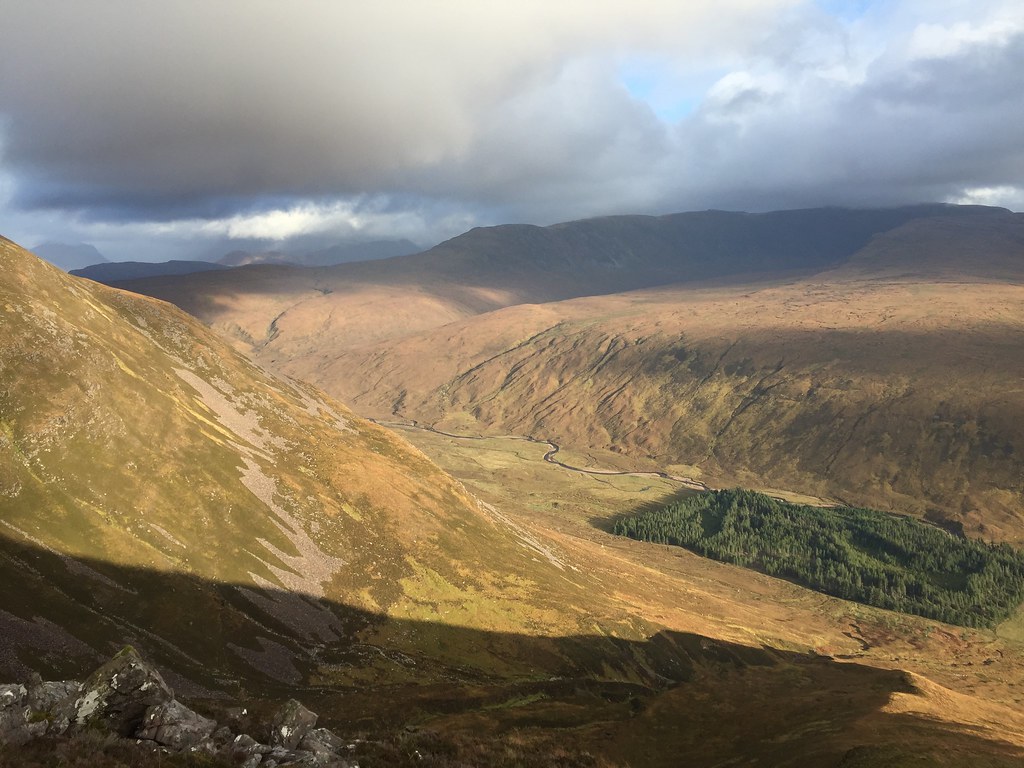 Strath Maolchaluim
 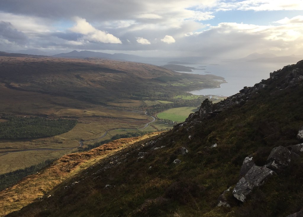 Applecross from the descent
 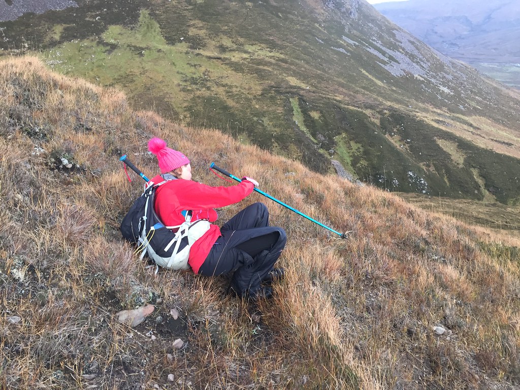 Karma...
 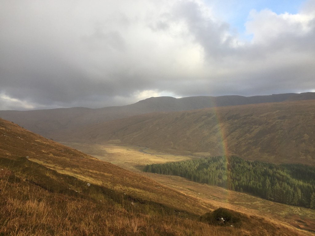 Strath Maolchaluim
 It didn't take too long to reach the track in the glen, from where it was an easy walk back to the car. A lovely afternoon, probably with better visibility than the higher Beinn Bhan and Sgurr a' Chaorachain.
 Beinn a Chlachain from near the SYHA
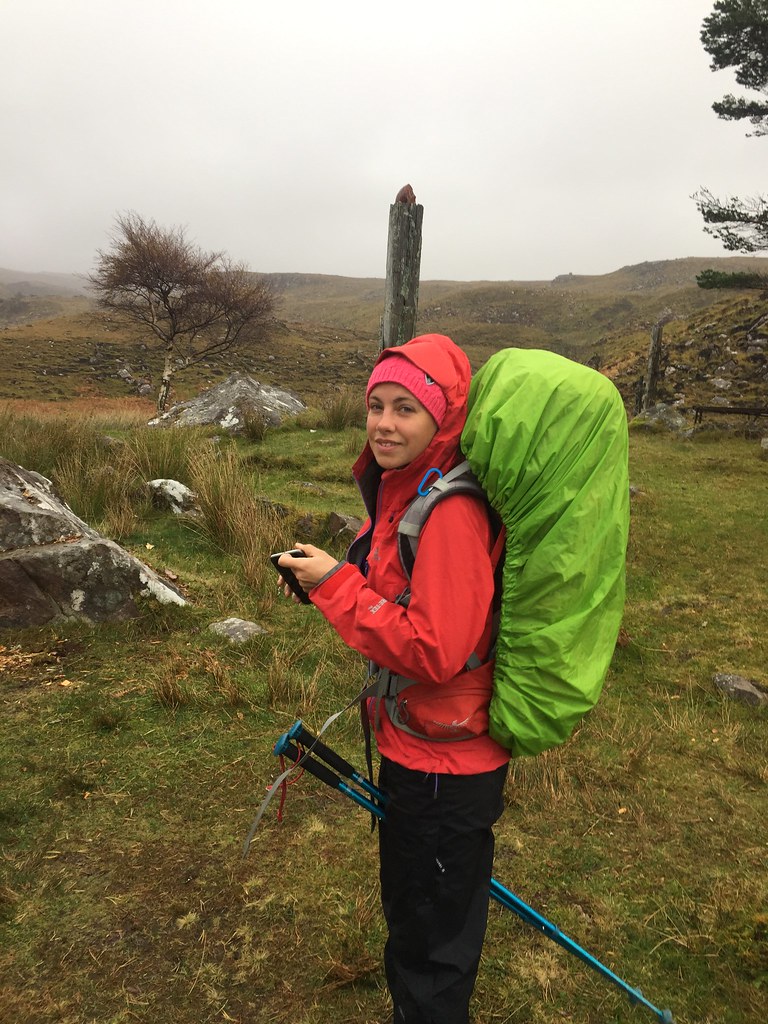
 Then it was back over the Bealach (with visibility and even a bit of daylight this time). Jackie retrieved her car from Lochcarron and we headed the short distance up to Coulags to walk into Coire Fionnaraich bothy.
Having lugged my bike up to this bothy last year in the mistaken belief that having a hydro scheme near it would make access easier, this time the walk-in seemed easy peasy, and we breezed it in 45 minutes by torchlight. We got a decent fire going (a bit smoky early on, then far too hot later!), and headed outside to play with some sparklers that Jackie had brought along.
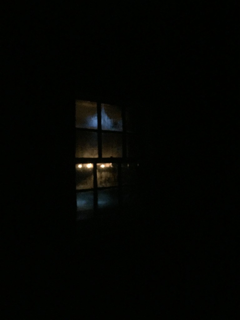 Coire Fhionnaraich - some candles in the window
 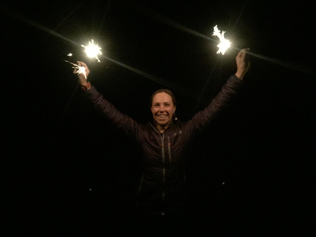 Fire plus Jackie - is this really wise?
 Where to go the next day? We had the option of walking right out of the bothy onto Maol Chean-dearg and An Ruadh-stac, but Jackie was quite keen on Beinn Dearg in Torridon, having failed to reach the summit in January (we had originally intended to stay at Craig bothy last night to make this more accessible, but couldn't be bothered with the walk/drive in the end). Also she was probably concerned that I might get the urge to
strip off again if we went up An Ruadh-stac
.
 Coire Fhionnaraich in the morning
 ___________________________________________
Thursday 18th October: Beinn Dearg - 15km, 1110m ascent, 6 hours, 20 minutes.
Craig walk-in - 8km, 280m ascent, 2 hours, 30 minutes.By the time we had driven around to Coire Mhic Nobuil, it was after 11am. We weren't overly concerned as Beinn Dearg isn't that long a day out on its own. The weather wasn't looking amazing, but it wasn't that bad either, so we decided to get on with it, making good progress over the first 3 miles walking in to the eastern end of the hill. The cloud gradually lifted on Liathach to reveal Coire na Caime and the pinnacles. We left the path and hit the steep slopes of Carn na Feola, where things slowed down a bit.
 Waterfall on Abhainn Coire Mhic Nobhuill
 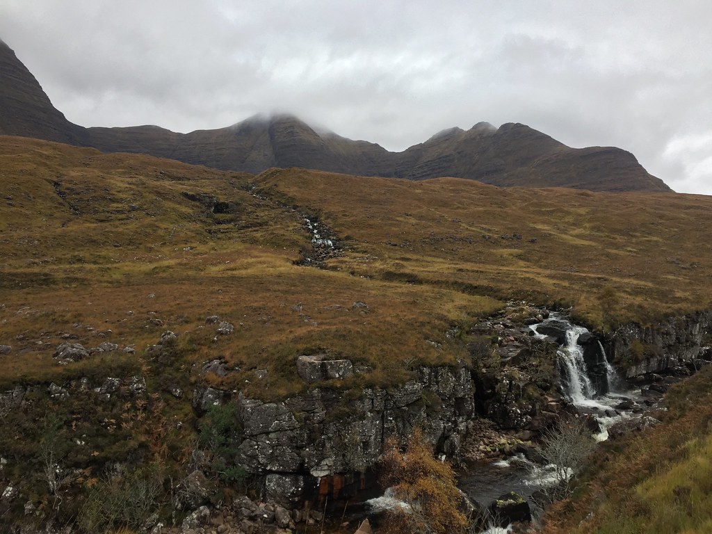 Beinn Alligin
 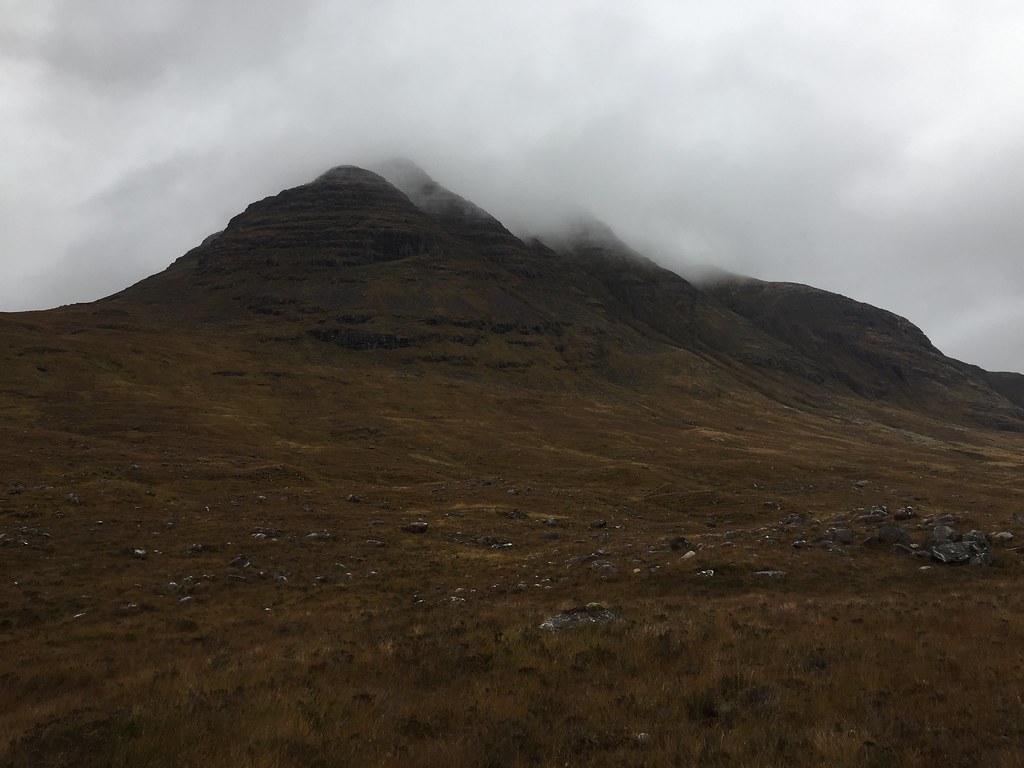 Approaching Beinn Dearg
 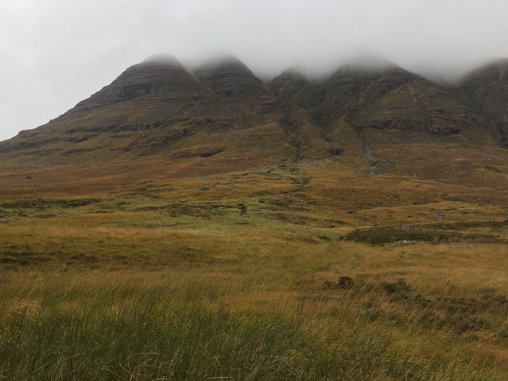 Southern flank of Beinn Dearg
 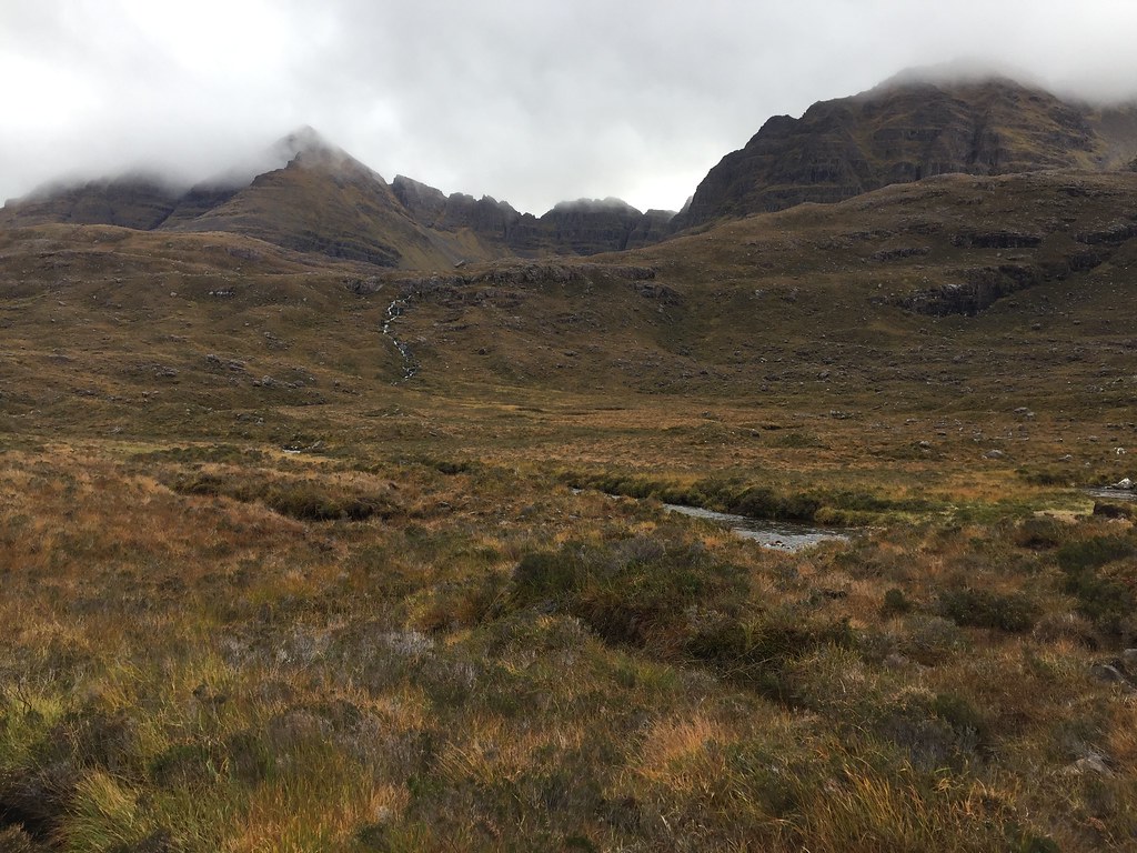 Am Fasarinen pinnacles of Liathach
 Jackie wasn't her usual chatty self on the ascent to Carn na Feola, leaving whole parts of minutes to silence. In retrospect, she decided that this (and the tiredness she felt on the way up) was more of a psychological thing - nerves due to failure last time. She knew this was irrational - last time was in some pretty dodgy winter conditions, this time a slightly blowy but not particularly bad day which should be way easier.
 Coire na Caime of Liathach
 A short way from Carn na Feola, a rain shower came on and we decided that due to the lack of views from up there, it wasn't worth visiting the summit. Instead we cut westwards, aiming for the main bulk of the hill.
 Beinn Dearg from Carn na Feola
 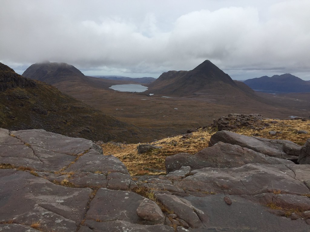 Beinn an Eoin
 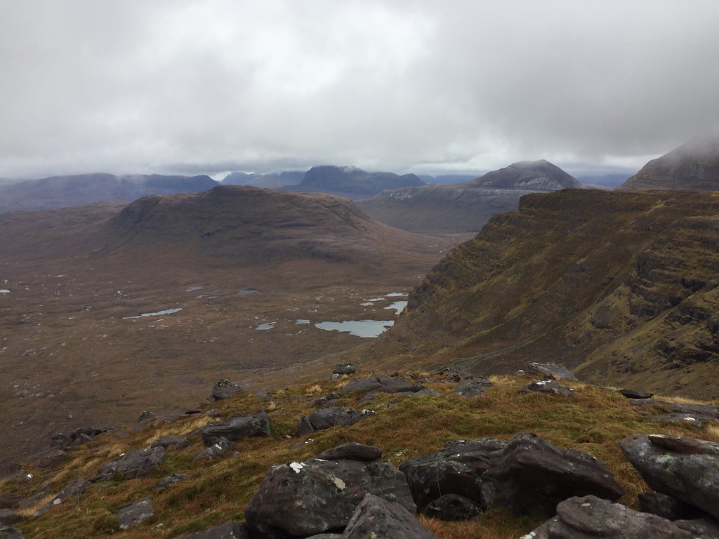 Beinn a Chearcaill
 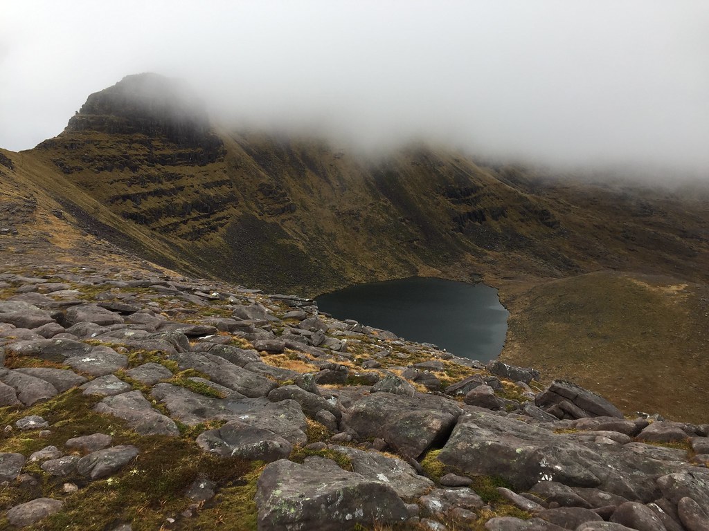 Loch a Choire Mhoir
 This approach to the summit probably didn't help Jackie's nerves - the short scrambly section looked rather dark and imposing in cloud cover, and there seemed to be more of it than I could remember. I wasn't overly concerned as I had been up this way before, and descended it in snow as well, but it definitely looked difficult

.
 Pinnacle on Beinn Dearg E ridge
 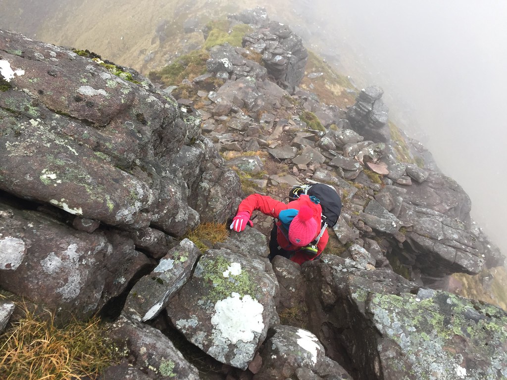 Jackie on the pinnacle
 As expected though, once I got onto the 'awkward' sections, they were perfectly straightforward, with loads of big hand and footholds. Jackie didn't have any problems either. For some reason I thought the top of the scrambling landed us right on the summit, so was slightly surprised to find more hill looming out of the mist.
The summit itself was a bit of an anti-climax after that - flat and viewless. It appears that a cairn-kicker has been at work here, although a small cairnlet has been re-built.
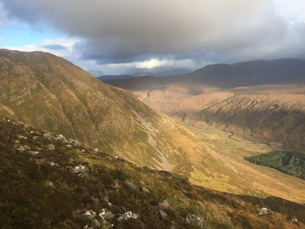
There is plenty more ridge to go from here, but we were over the most awkward bits, so could relax a little. On the descent towards Stuc Loch na Cabaig, intermittent views of Loch Torridon, the Horns and Baosbheinn appeared.
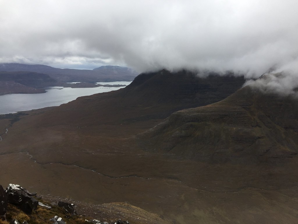 Loch Torridon
 Descent was steep and boulder, but we finally made it down to flatter ground. It appeared that Jackie had managed to get within a few meters of the sharp NW ridge of Stuc Loch na Cabhaig last time. There are some much better photos at the end of her
report from then.
 Short person or big rock?
 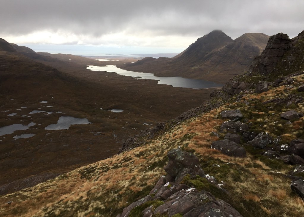 Baosbheinn and Loch a' Bhealaich
 Then down to the cars, where it was still just about daylight. Some more gear switching and we abandoned Jackie's car to head over to Lower Diabaig in mine. We started walking to Craig bothy in the last light, where a helpful local pointed us onto the coast path (we had started on a 4x4 track which apparently curved off inland and didn't go anywhere near the bothy!)
At the beginning, we were cursing the cold wind, but the walk in was pleasant, with views to lights out in the Inner Sound and on the north end of Skye. The main room of the bothy was already occupied by a couple who made room for us by the fire - luxury! Again there was plenty of sleeping space upstairs, and although not quite as good as Uags, this was another gret coastal bothy
.
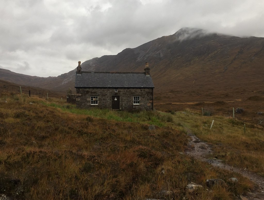
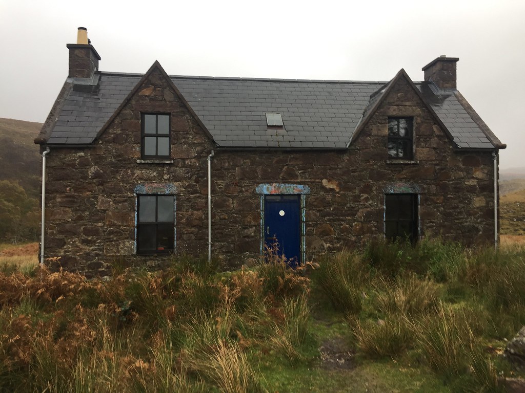 Craig bothy
 The weather forecast hadn't looked great for the walk-out, and was set to deteriorate further throughout the day and then the weekend. However despite a bit of drizzle at the start, the stroll back to Lower Diabaig was very pleasant and scenic.
 Leaving Craig on Friday morning
 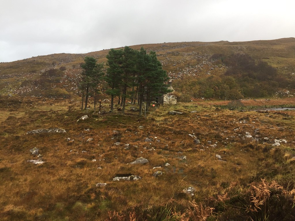 Leaving Craig
 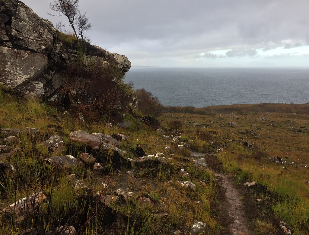 Path out from Craig
 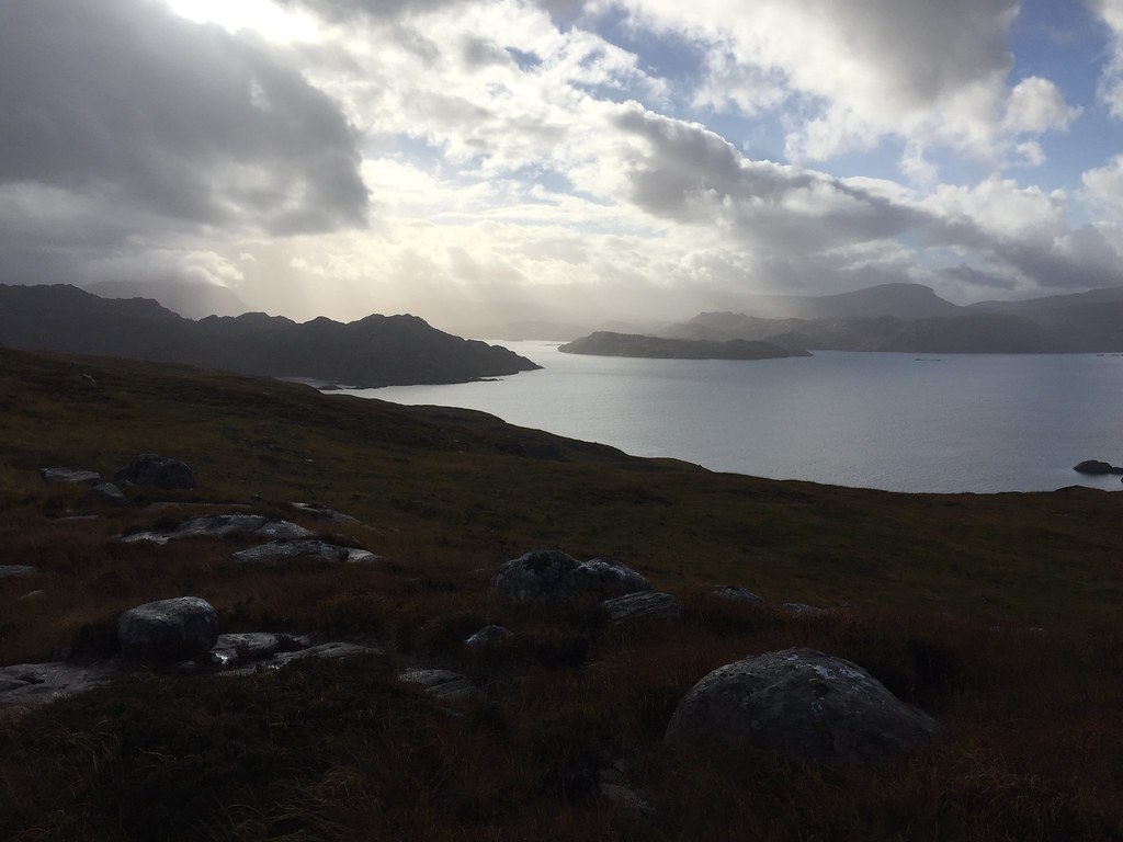 Approaching Diabaig
 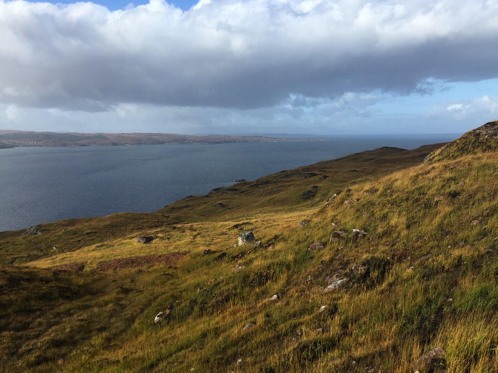 NW end of the Applecross peninsula
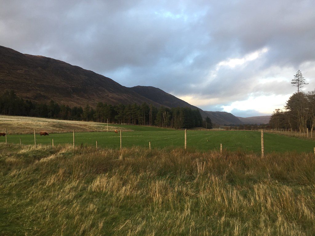
 Driving back to Torridon via Jackie's car at the Beinn Alligin carpark, we both made liberal use of the public showers at Torridon before heading to the Torridon Inn for lunch. Despite threatening showers, Torridon wasn't looking bad, with sunshine playing on the hills and interesting skies. We debated what to do next. The weekend forecast was due to be absolute pants, so not worth sticking around for, but it looked nice at the moment. All clean and full of food, we couldn't quite work up the enthusiasm for a walk up Beinn na h-Eaglaise or Beinn Damh, and everything else looked too long, so we decided to start heading east.
 Liathach from Torridon
 We left Torridon to drive over to Garve. Always a shame to be going from here, but we'll be back before too long!
__________________________________________________
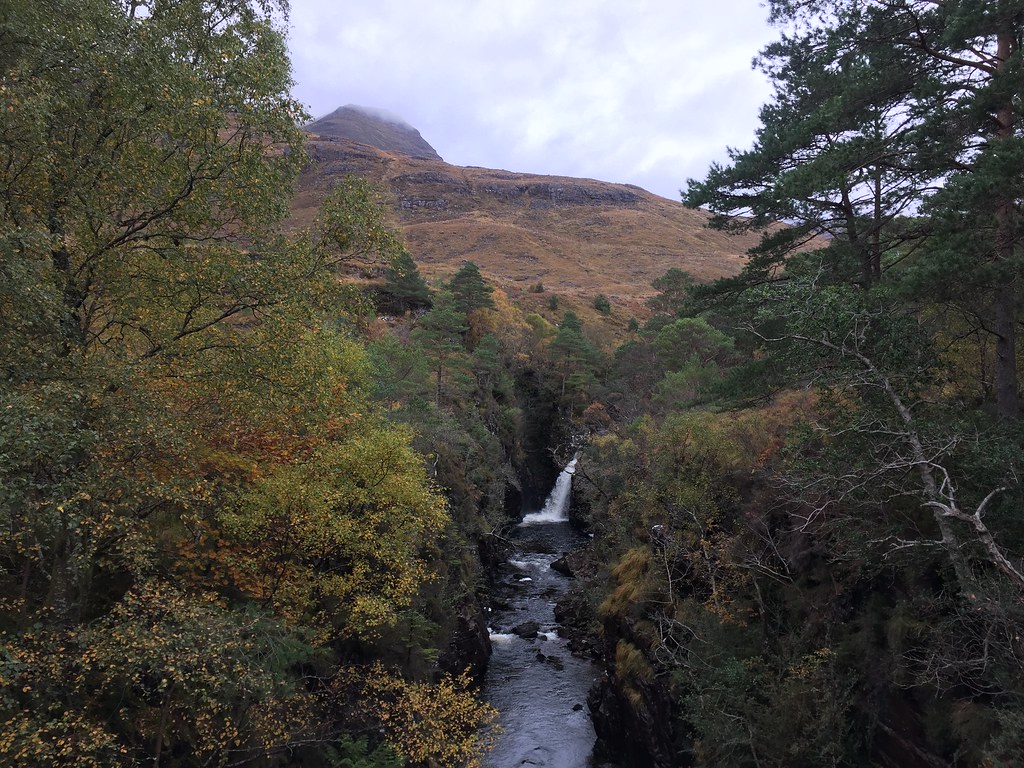
Friday 19th October: Little Wyvis - 10km, 660m ascent, 2 hours, 25 minutes.Little Wyvis was the destination - good views, easy walk that didn't require any thought, and would fit nicely into the amount of daylight we had left. We took the Silverbridge approach, which follows a landrover track the whole way to the summit. We started off at the Forestry Commission carpark and crossed the old bridge over the Black Water before winding around the council depot and various barns and sheds on the other side of the Ullapool road.
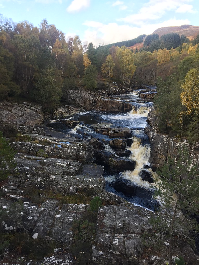 Falls on the Black Water
 Despite being a track the whole way, the walk isn't unpleasant, and as we got higher, the views back down Strathbran to Torridon were lovely.
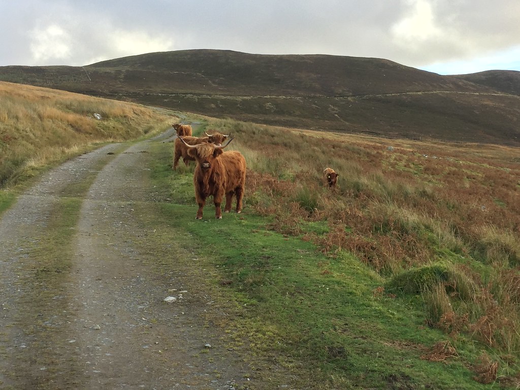 Toffee coos on the ascent of Little Wyvis
  Strath Garve
 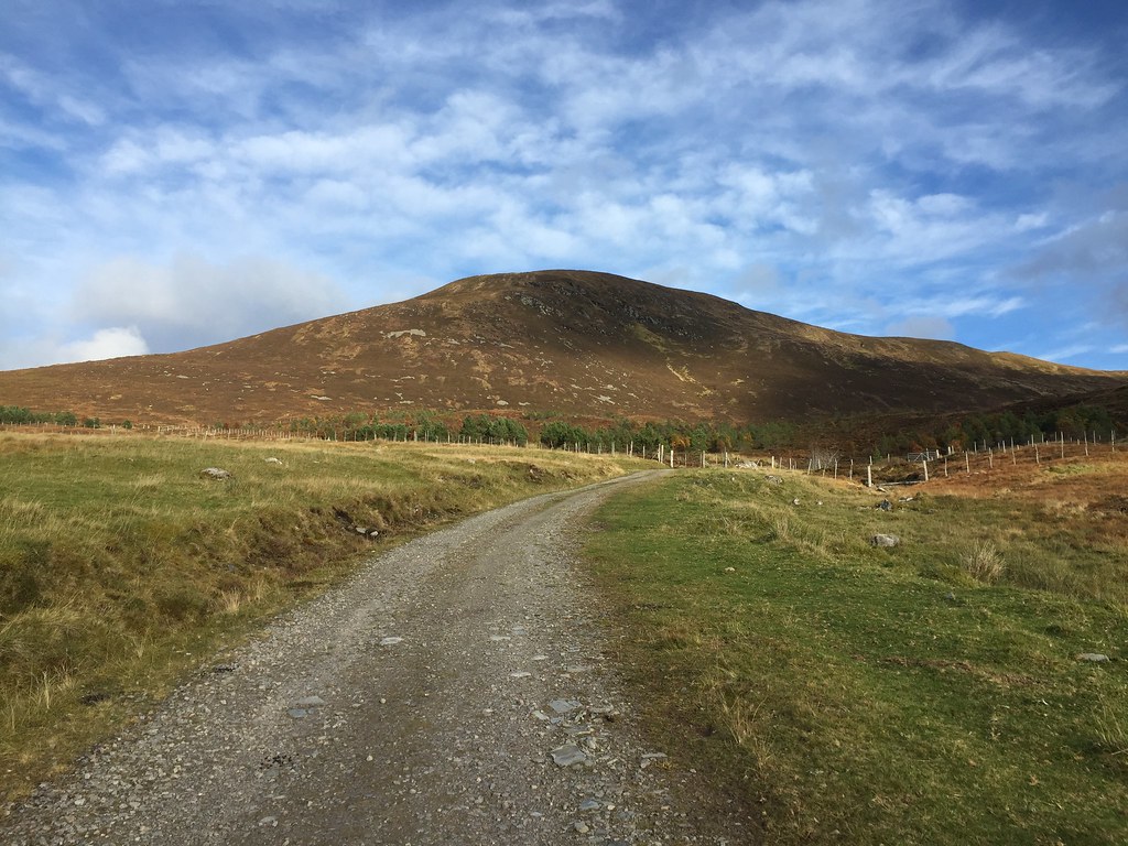 Approaching Little Wyvis
 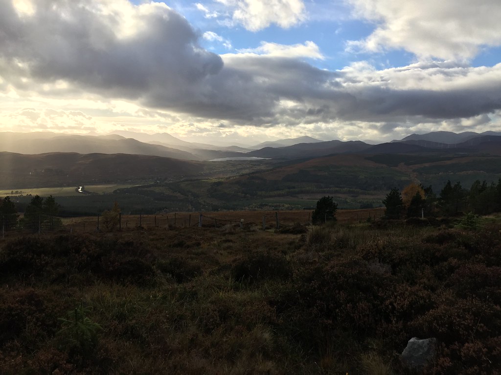 Loch Luichart and Achnasheen hills
 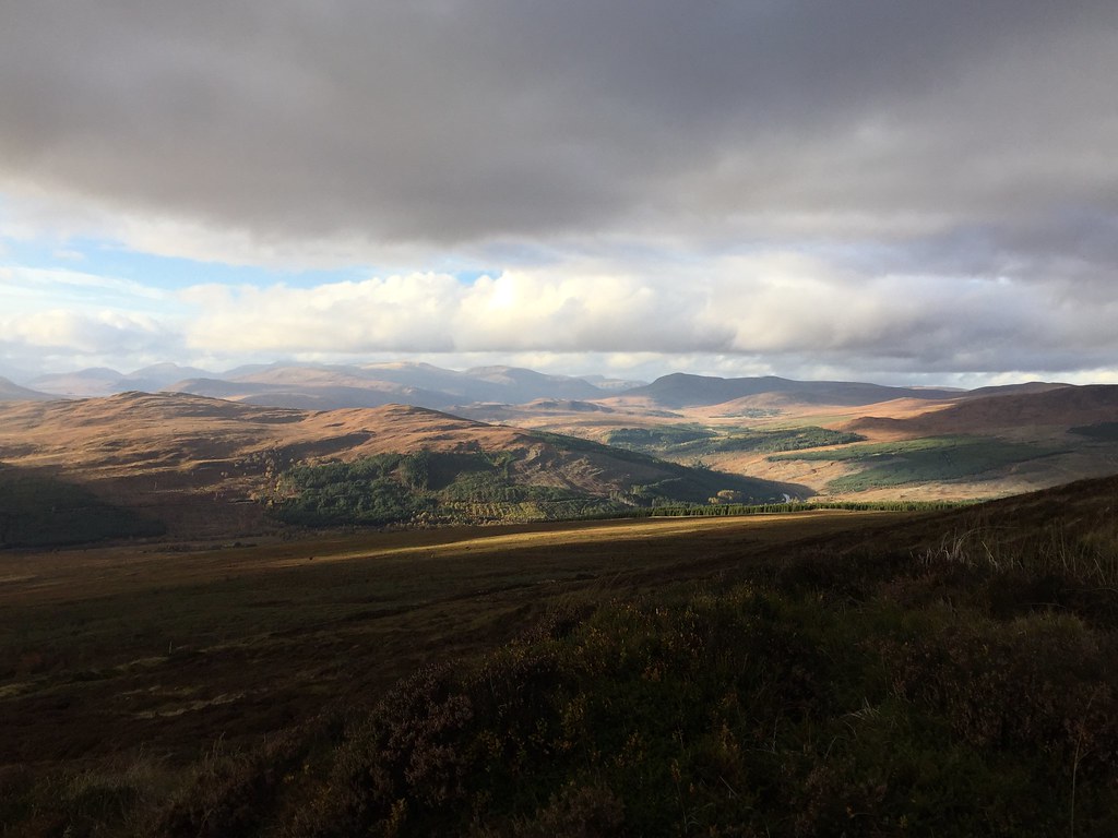 Beinn Dearg hills and Beinn a Chaisteal
 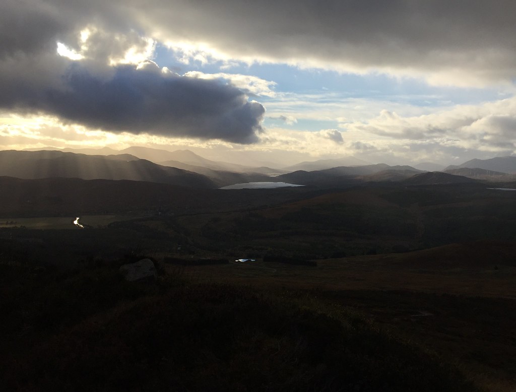 Loch Luichart
 Higher up, the views north and east opened up too, including back to Inverness. We were surprised by a 4 x 4 descending the track above us - going slowly, we couldn't hear it until it was practically in front of us. At this point we walked into a strong, cold wind too, which gave us second thoughts about hanging around for sunset. Despite that, the light was great.
 North to Carn Chuinneag
 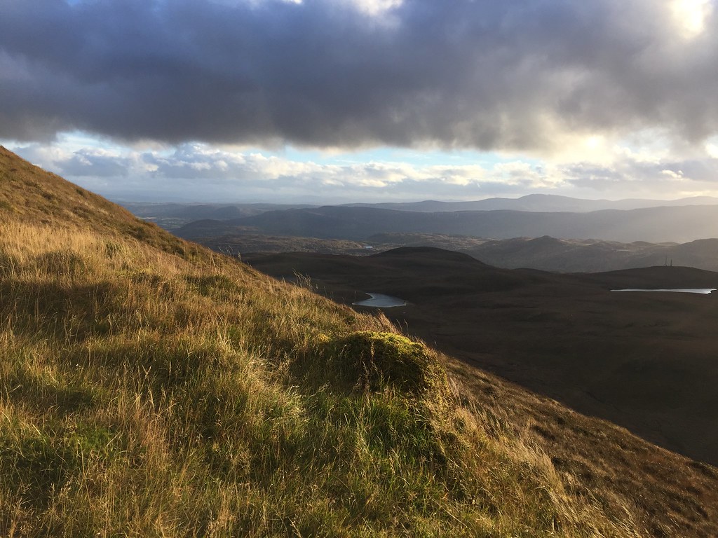 SE to Inverness
 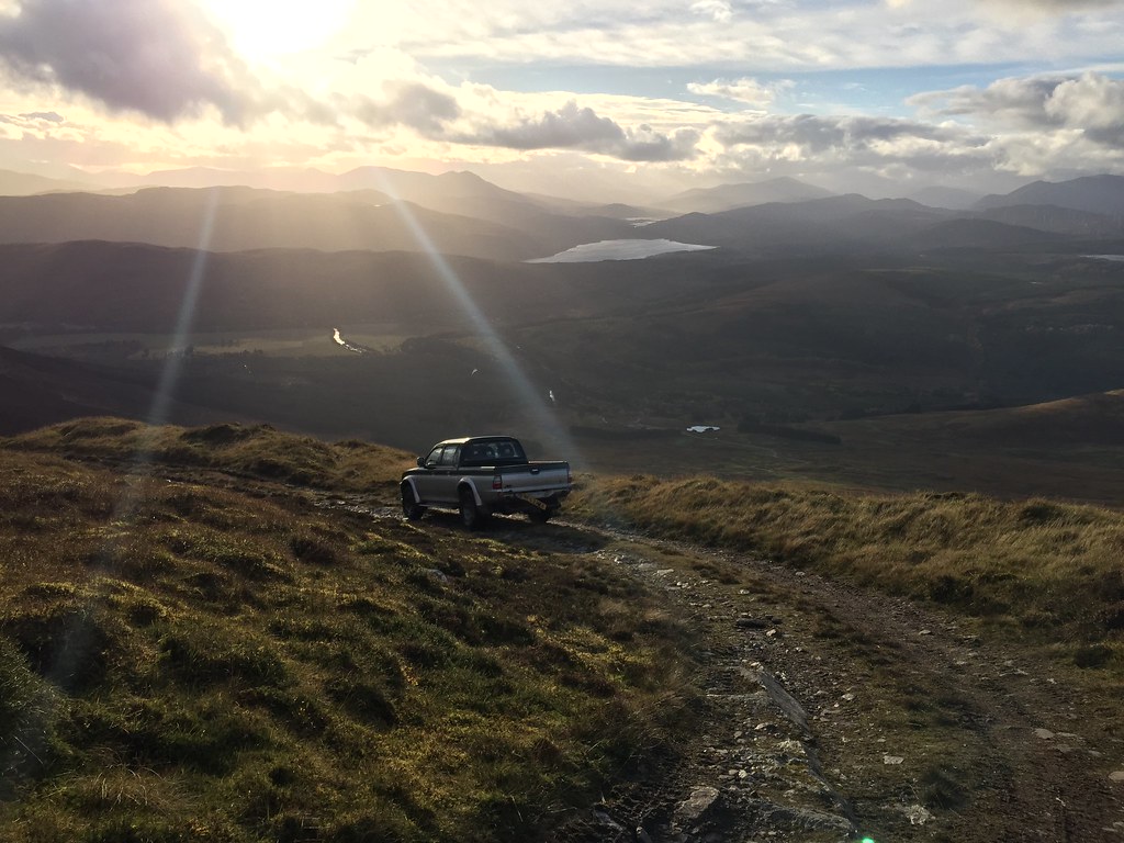 It's all going a bit Top Gear...
 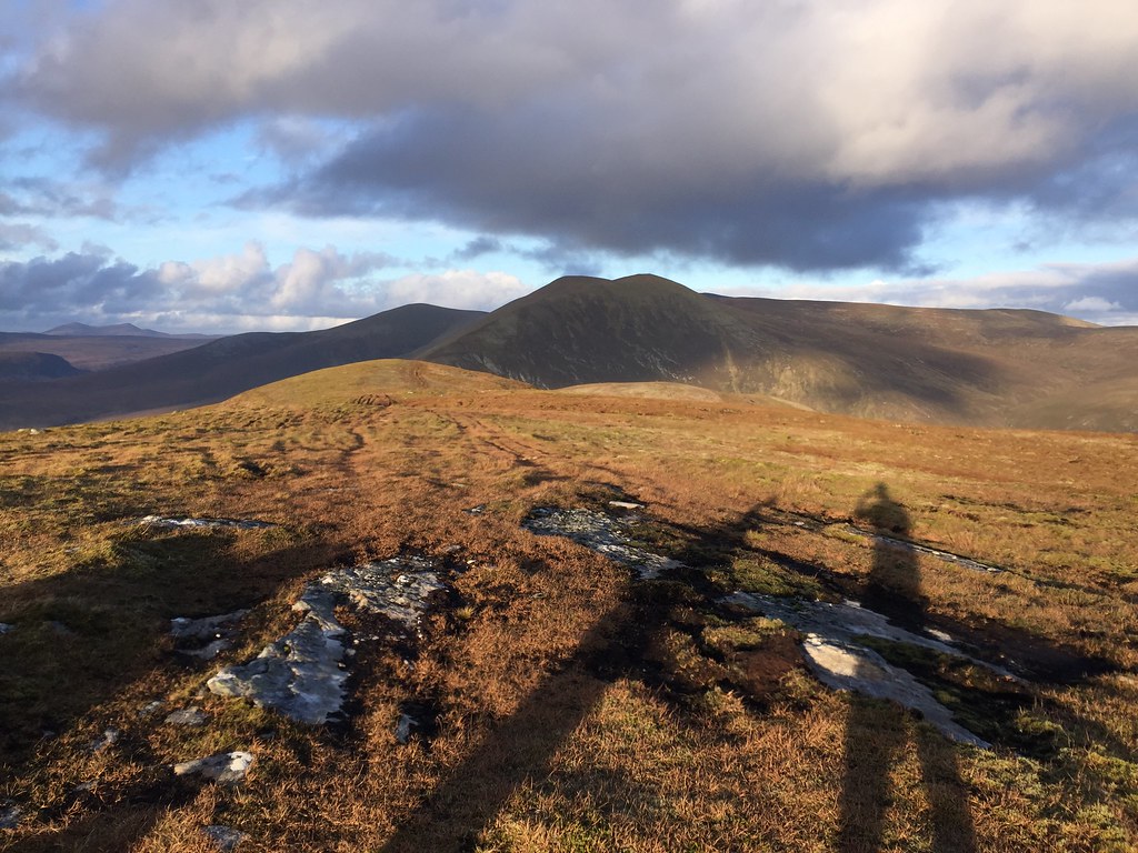 Summit silhouettes
 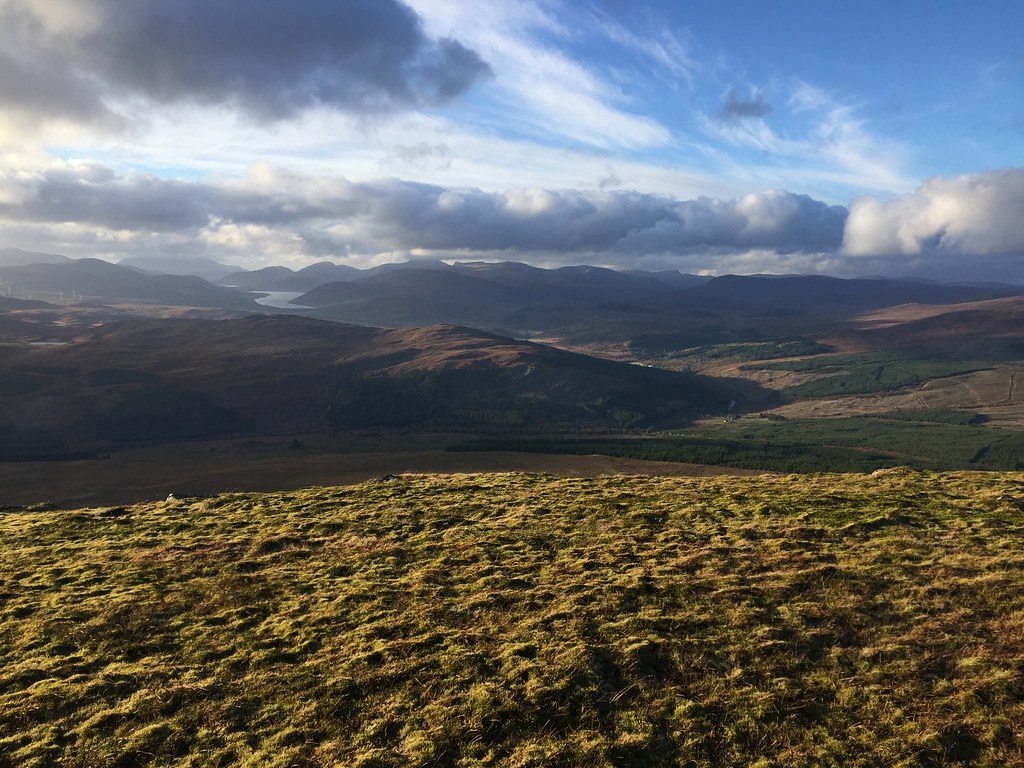 Loch Glascarnoch
 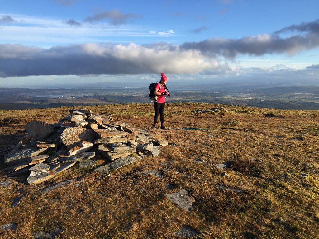 This doesn't really show how cold and windy it was
 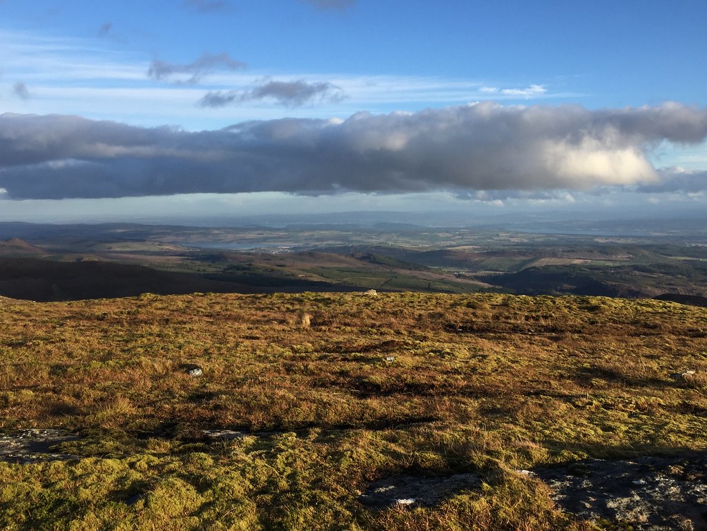 Cromarty and Beauly firths
 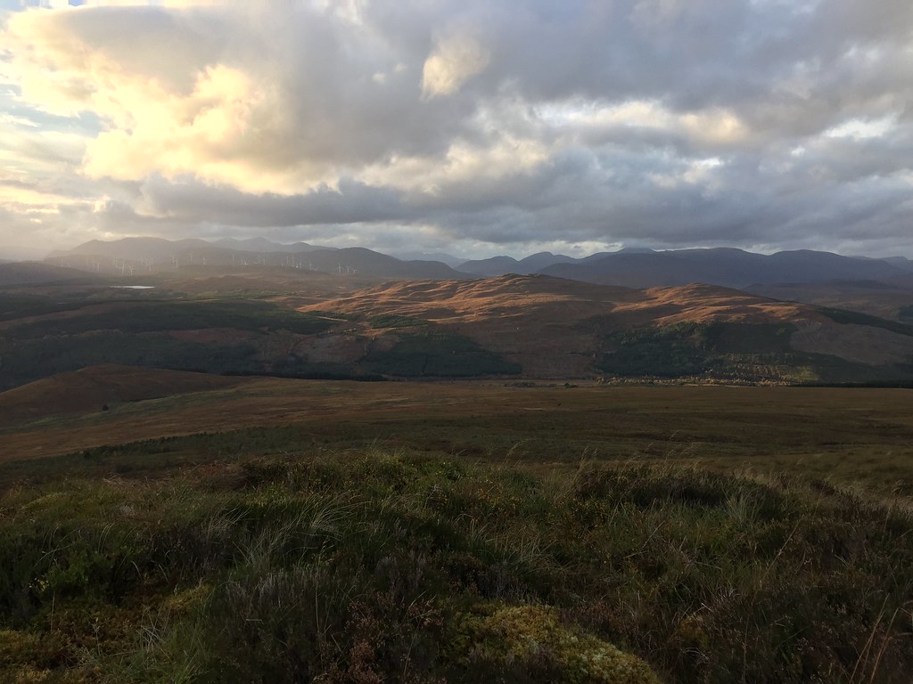 Fannaichs
 Then it was back down by the same route - we weren't really tempted by traversing the rest of the summit ridge in the wind. Back at the cars, it was time to head east again via a not-to-be-named bothy, in order to try and dodge the deluge that the West Highlands would be getting at the weekend.
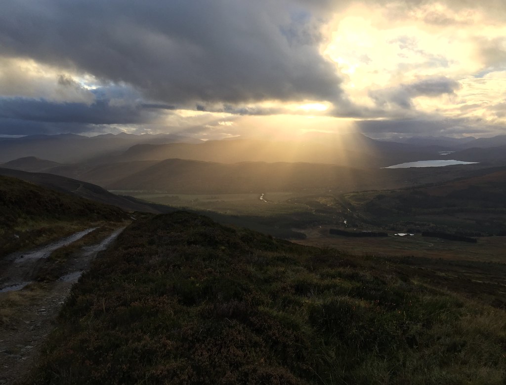 Crepuscular rays on the descent
 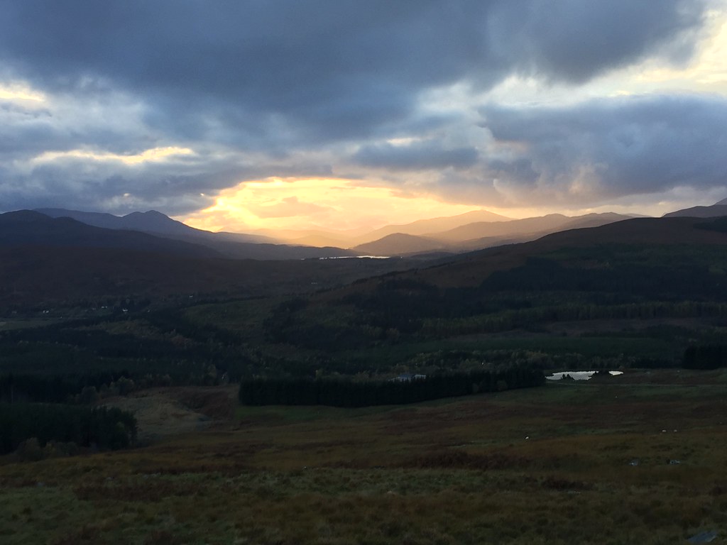 Last look westLink to part 2