free to be able to rate and comment on reports (as well as access 1:25000 mapping).
Since picking up a copy of Gavin Maxwell’s “Ring of bright water” to read in the tent some months ago, I’ve been intrigued by the man and have read a number of his other books: - the sequels that are largely set in Sandaig – “The rocks remain” and “Raven seek thy brother”; his autobiographical account of childhood “The house of Elrig” and the superb biography by Douglas Botting. There’s also a BBC documentary from 1999, available on YouTube that’s worth a watch. A man of marked contrasts and contradictions: an animal lover who loved shooting birds and set up a company to harpoon basking sharks; a writer touched with genius who could be profoundly inept in many of his dealings in life; an aristocratic rebel who could also be an insufferable snob; a withdrawn neurotic with tendencies to paranoia who could equally be magnetic, charismatic and enliven any gathering. Maxwell had a degree of insight into his flaws – he notes, when he was writing the biography of his early years, he comes across as “far from admirable” which had “not occurred to him previously”. He had a deep interest and belief in psychoanalysis – perhaps a pity that he took up the theories of Freud rather than of CJ Jung, where the emphasis was on the integration of opposing aspects of the personality – something that may have brought a degree of solace to his deeply troubled soul.
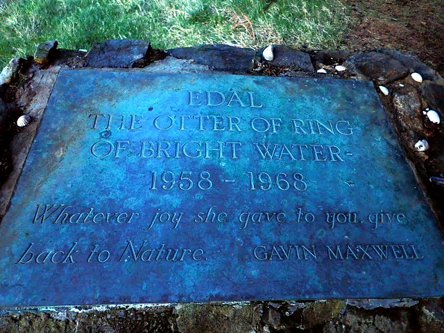
Whatever the flaws of the man, as author he had an ability to conjure worlds with his pen and his descriptions of the years he spent at Sandaig – named “Camusfearna” in Ring of Bright Water in a vain attempt to avoid readers discovering the location of his retreat, are gems of descriptive writing. The early sections where he restores the abandoned lighthouse keeper’s croft to a basic habitability, using items washed up along the beach – a Scottish Robinson Crusoe of sorts – and has his first otter, Mijbil, with him are a delight to read. As the books progress the accounts become sadder, an Eden lost as the impact of his popularity and the arrival of “mod-cons” like electricity and telephone erode the tranquillity. Both otters, Edal and Teko, display unpredictable vicious behaviour towards humans- on one occasion severing two fingers from Terry Nutkins who resided there with Maxwell and helped with the animal. The only person “immune” from these attacks seemed to be Maxwell himself, but the otters were from then on housed in solitary pens for the next few years – a far cry from their freedom to frolic in the surf. It didn’t help that the otters hated each other from the moment they met, Edal, the resentful “eldest child” screaming incessantly at Teko and attempting to attack him with murderous intent at any opportunity. Additionally, some spectacularly poor financial choices by Maxwell coupled with remarkable extravagance and downright bad luck turned the idyll into nightmare until the cottage burnt down, killing Edal in January 1968.
A visit to Sandaig was therefore on my radar – when the forecast for this weekend showed full sun and warm temperatures it was just too good an opportunity to miss. A bit of hill planning in the area and we were sorted.
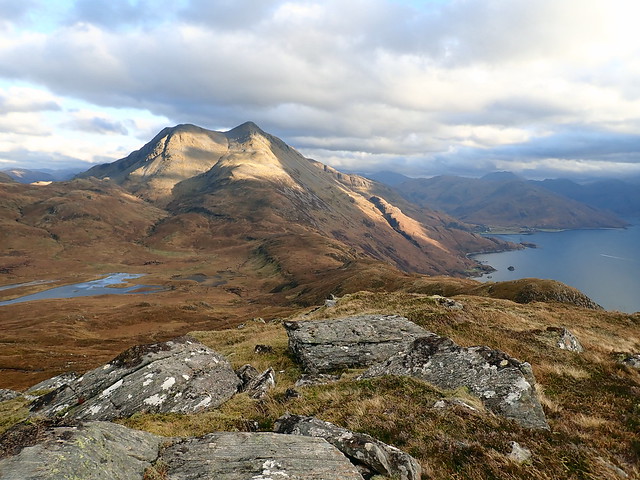
One wouldn’t have reckoned on the arrival of good weather driving up on Thursday night – torrential rain most of the way up to Invergarry, where we stopped to pitch the tent around 8pm in a wee spot we use to break the journeys to the north west. By the morning the rain was a memory and a salmon-pink sky greeted our eyes. We drove through Kintail, then across Mam Ratagan, noting a substantial landslip nearly taking the road with it. Through sleepy Glenelg and on to Arnisdale, where we would climb Beinn Sgritheall. Fine blue skies crossed with white streaks of cirrus cloud, sun sparkling on the sea. We took the usual route up Sgritheall, a straight-from-sea-level slog, as would all our ascents be this weekend. But a fine morning for it, no-one else on the mountain.
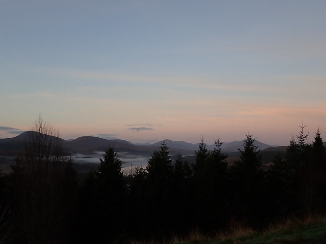
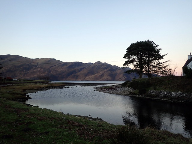
There are far too many trees at Invergarry Viewpoint
 PB160004
 by
Al, on Flickr
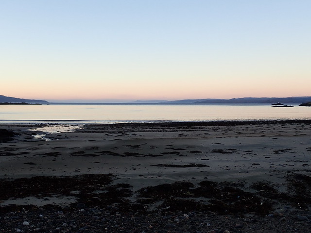
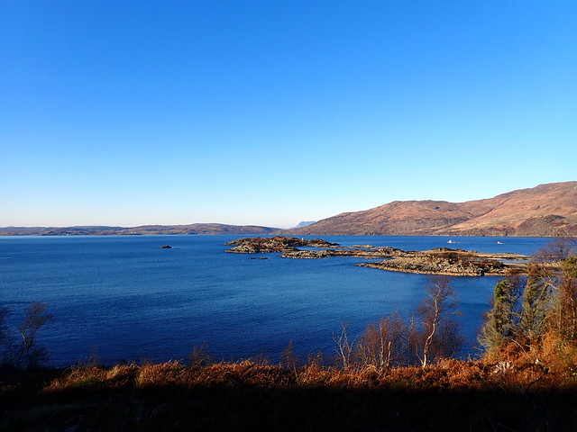
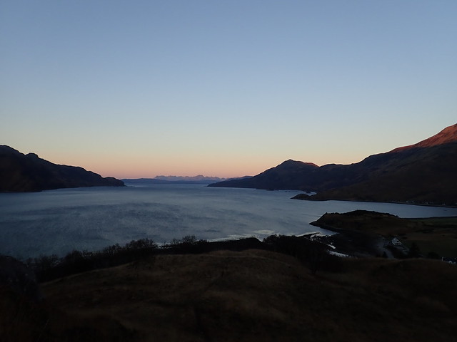
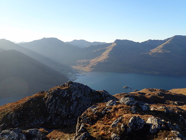
Loch Hourn
 PB160005
 by
Al, on Flickr
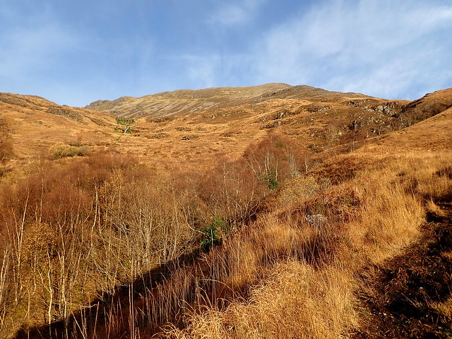
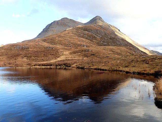
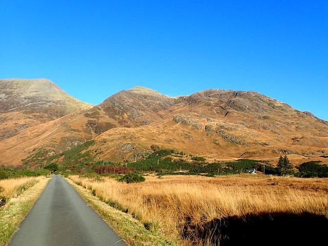
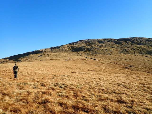
The russet road to Sgritheall
 PB160009
 by
Al, on Flickr
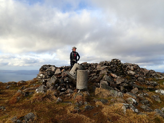
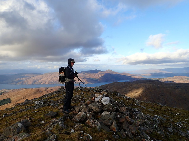
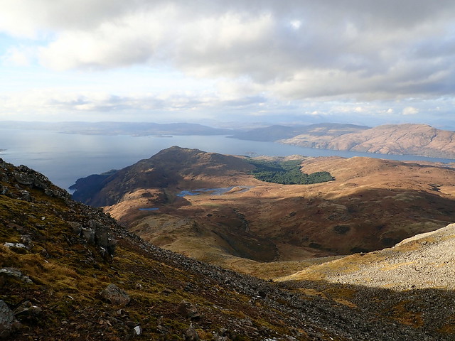
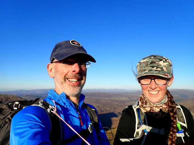
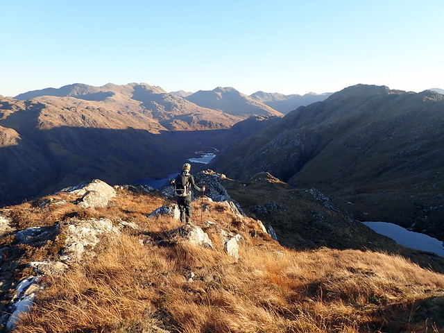
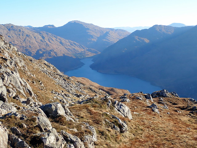
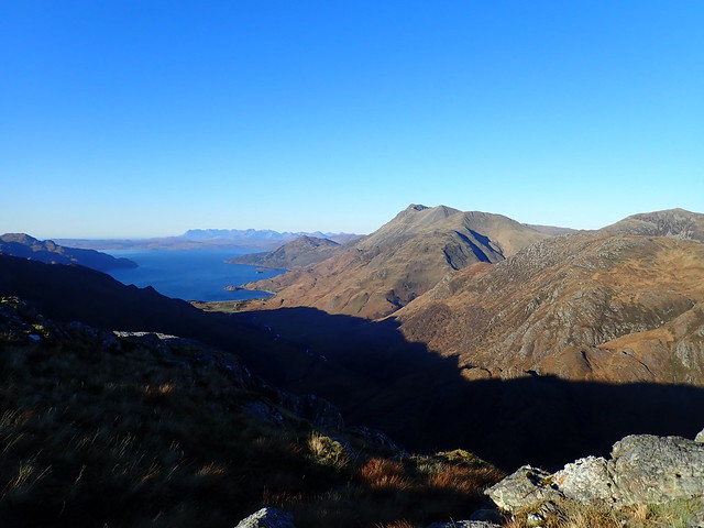
As we climbed we saw Skye appear to our left, the mountains of Achnashellach and Torridon to the north. A raven swooped and tumbled in a flutter of coal black wings, enjoying the morning air. Across Loch Hourn lay the might of Ladhar Bheinn and Beinn na Callich, Knoydart’s sentinels. Last time we’d been here, we had come from the adjacent Corbetts, down a very steep descent to Bealach Arnisdail from Beinn na h-Eaglaise – none of that today, we were having a civilised walk. Across the 903m top and on to the summit with its wrecked trig point. We continued across to the NW Munro Top, stopping en route for lunch. Descent involved a bit of contouring over scree in the gully between the main summit and the Top until we connected with the main descent route.
 PB160013
 by
Al, on Flickr
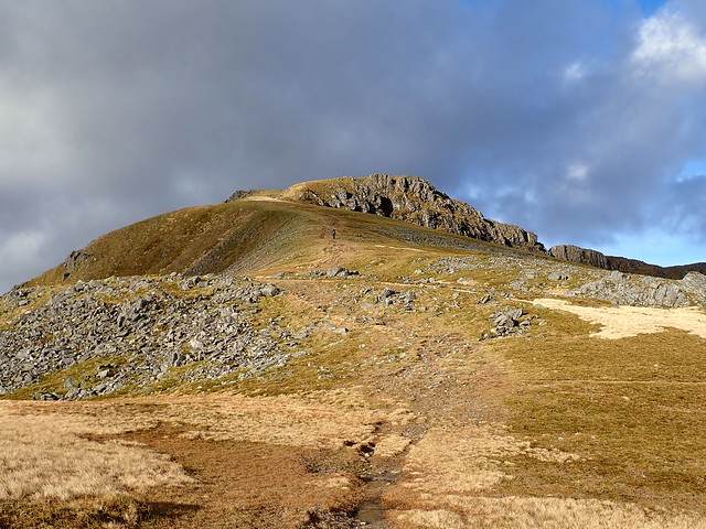
Steep face of Beinn na h-Eaglease
 PB160014
 by
Al, on Flickr
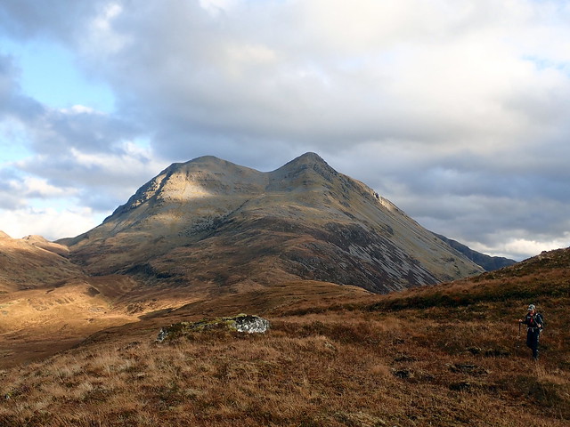
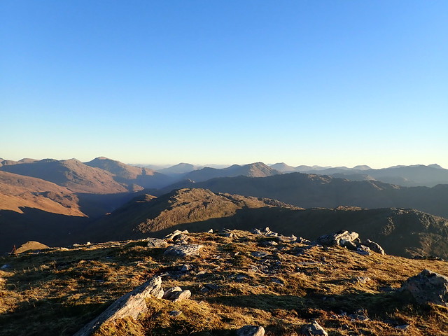
Sgritheall from the 903m top
 PB160020
 by
Al, on Flickr
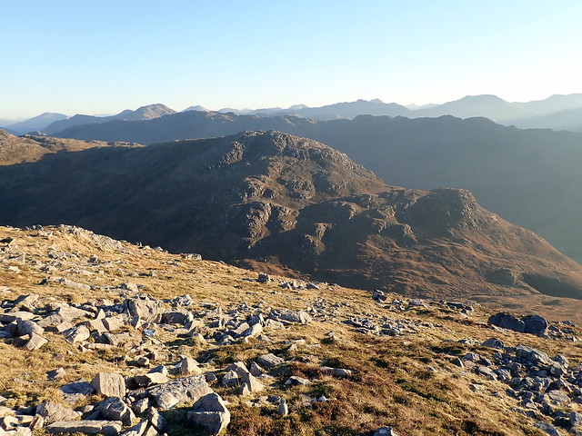
View west
 PB160021
 by
Al, on Flickr
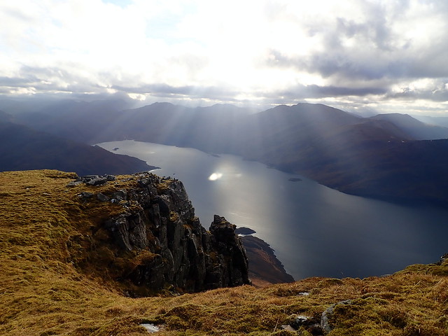
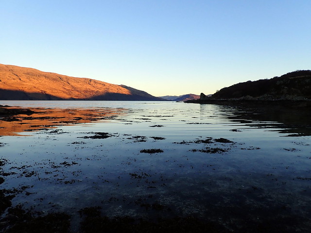
Sunbeam fingers on Loch Hourn
 PB160022
 by
Al, on Flickr
 PB160023
 by
Al, on Flickr
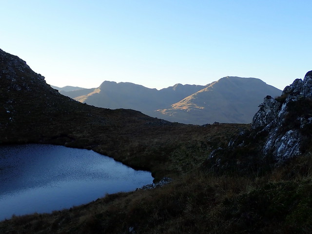
NW Munro Top
 PB160025
 by
Al, on Flickr
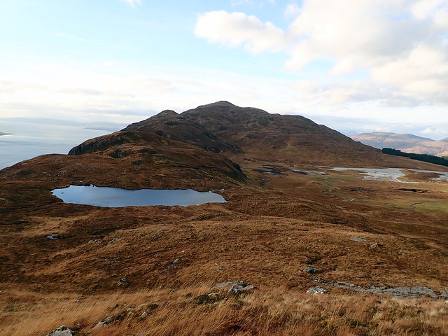
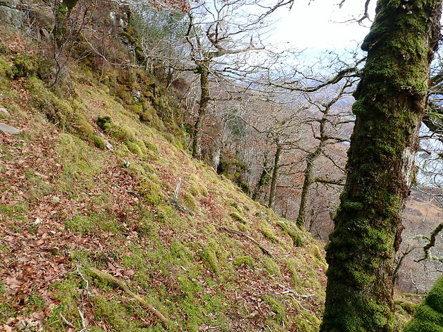
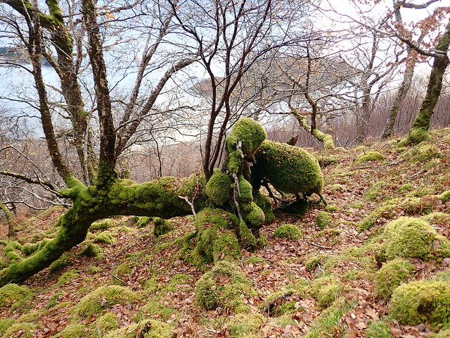
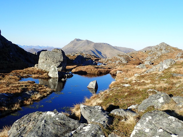
Looking ahead I saw the Marilyn of Beinn Mhailairigh: a handsome peak being hemmed in on its northern aspect by the spread of plantation conifers – I intended to climb that at some point over the weekend, but now seemed an ideal opportunity – only around 1.5km from the descent route from Sgritheall and a mere 200m extra ascent. It would also give views down to Sandaig. So we spent an hour crossing over short grass, deer fences and some bog to reach the summit. Well worth the time spent, providing some superb views of Sgritheall into the bargain. Our descent was a little more interesting than the book route – we found then lost the path and had some excursions through steep tree lined slopes before we met with it again. But our way was pretty – fabulous mosses growing around the trees bringing green softness to the wood.
View to Beinn Mhialairigh
 PB160028
 by
Al, on Flickr
 PB160031
 by
Al, on Flickr
Sgritheall
 PB160032
 by
Al, on Flickr
and again
 PB160033
 by
Al, on Flickr
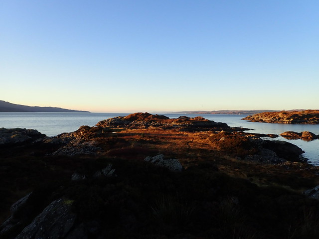
Towards Skye from summit Mhiarairigh, Sandaig islands visible
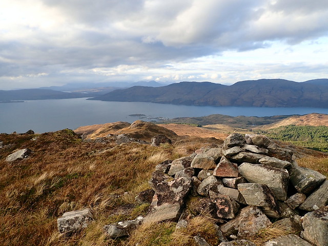 PB160035
 by
Al, on Flickr
Sandaig Islands zoomed
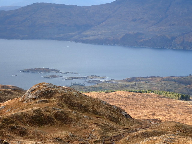 PB160036
 by
Al, on Flickr
 PB160037
 by
Al, on Flickr
Mossy descent
 PB160038
 by
Al, on Flickr
 PB160039
 by
Al, on Flickr
 PB160042
 by
Al, on Flickr
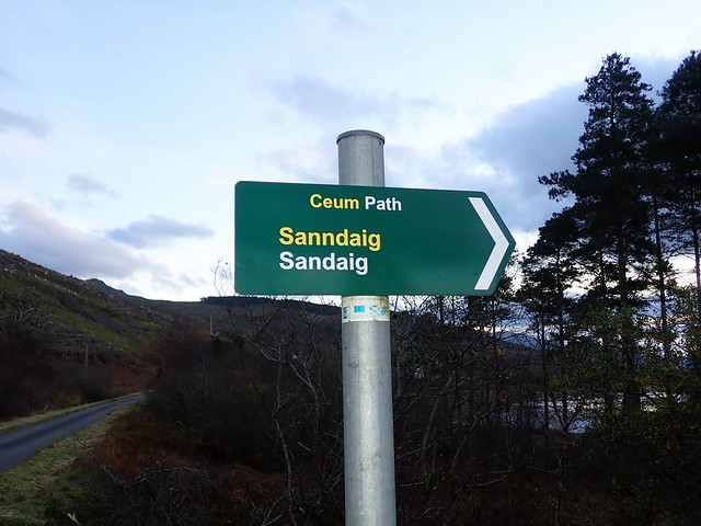
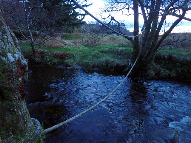
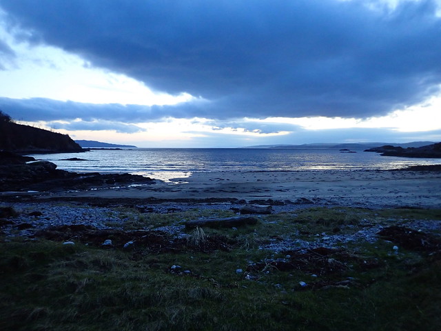
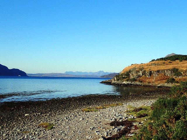
It was later than I had hoped when we finally made it to the road, with perhaps 2.5km to hoof it back to the car. Allison was flagging and I wanted to get down to Sandaig before nightfall, so I left my rucksack with her and ran back to collect the car. Sandaig is situated midway between Arnisdale and Glenelg, and we arrived at the parking place just after 4pm. We then had to load up the rucksacks with the gear we’d need for overnight. I had noted the WH route and took my GPS with me for the short walk down to the bay. Choosing the right-hand fork takes one down by the river and past Mij’s waterfall but one then has to use the rope-bridge slung between two alders to cross the water. Interesting when you’re carrying a large rucksack.
Sandaig/Camusfearna in 1950s
 PB160043
 by
Al, on Flickr
The narrow track through the woods
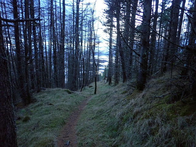 PB160044
 by
Al, on Flickr
 PB160045
 by
Al, on Flickr
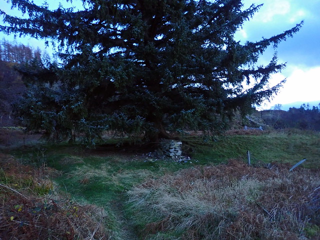
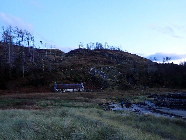
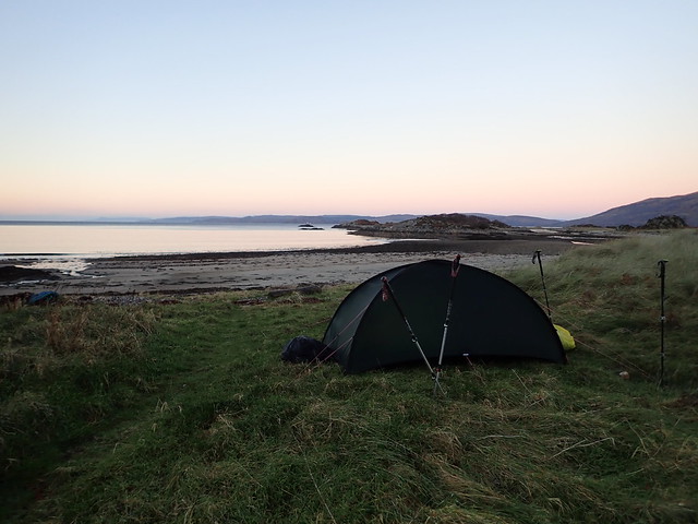
Once across the river the memorial to Edal is right ahead, under a large fir tree. Festooned with offerings of stones and shells. A few strides away is the large boulder under which Maxwell’s ashes were placed – this marks the site of the Camusfearna cottage, of which not a rock remains. Across the field is the decaying holiday cottage that belonged to his friend Raef Payne, looking much the worse for damp. We found a flat spot where the grass meets the shingle to pitch our tent, just as the daylight failed. We sat eating our dinner looking out to sea over the glorious little bay. Before long the light faded, but I was sure I could see the outline of an otter frolicking on the shore. Commonsense told me it was no more than the waves stirring the fronds of seaweed along the shoreline, but if we can come to an imaginary place to see a house that no longer exists, then I can see an otter.
Edal's memorial
 PB160046
 by
Al, on Flickr
 PB160047
 by
Al, on Flickr
Maxwell's boulder
 PB160048
 by
Al, on Flickr
 PB160050
 by
Al, on Flickr
Raef Payne's old croft
 PB160051
 by
Al, on Flickr
A little slice of heaven
 PB170052
 by
Al, on Flickr
 PB170054
 by
Al, on Flickr
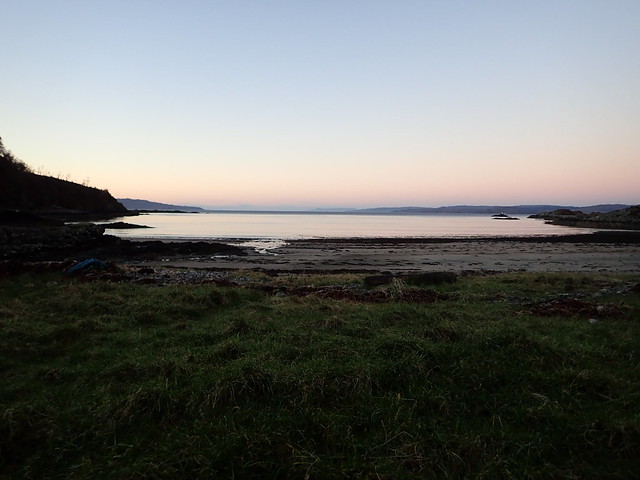
The deeply comforting roll of the waves ahead of us and the plash of the waterfall behind lulled us to sleep. The occasional shriek of a heron as it patrolled the water’s edge and the breeze stirring in the marram grass were the only other sounds overnight. We woke to a fine morning – pink sky again, the surrounding hills lit by alpenglow. With the low sun, Sandaig itself remained cast in shadow but this didn’t stop us exploring the Sandaig islands, accessible at low tide. There’s a memorable episode in one of the books where Maxwell is arriving back at Sandaig around midnight in the midst of a storm, on one of the darkest nights he has experienced, finds the small dingy used to get ashore gone, grounds his boat on a shelf of rock and clambers onto one of the islands with Jimmy Watt and has to find his way back to shore in the pitch dark. We clambered over the same islet, much easier in full sunshine.
 PB170057
 by
Al, on Flickr
 PB170059
 by
Al, on Flickr
 PB170064
 by
Al, on Flickr
Heather Island
 PB170066
 by
Al, on Flickr
I'm guessing this is the rock shelf that the boat beached on
 PB170067
 by
Al, on Flickr
Returning to the tent we brewed another cup of coffee and sat watching the waves. After packing up the tent we had another walk around, spotting the rusting remains of the boat trailer for his Polar Star hidden in rushes by the wall, tidied up Edal’s memorial and noted a well-hidden large green tent tin the trees that looks as though it’s a permanent residence for someone. We walked up to the waterfall, where in Maxwell’s estimation the soul of Camusfearna resided and where he believed he'd return after death. Then we set off up the steep track that was blasted so that he could drive his heavy Landrover down to the croft rather than having to bring everything in by boat or by knapsack.
Mij's waterfall
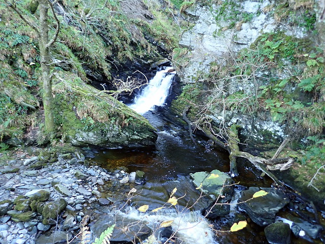 PB170070
 by
Al, on Flickr
The sun gradually reaches Sandaig
 PB170071
 by
Al, on Flickr
 PB170073
 by
Al, on Flickr
Back at the car we unloaded the rucksacks and prepared to return to the present day. Drove back down to Arnisdale and parked at Corran with the intention of climbing Beinn na h-Eaglease and Beinn nan Caorach. Although most people climb these two hills in an anticlockwise direction, I decided we’d ascend Beinn na h-Eaglease first – it’s the more impressive of the hills rising to a shapely peak. But unremittingly steep, again from sea level. Again we deviated from the WH route, coming to the top of Beinn Bhuidhe by way of some gentle scrambles up the crags. As we neared the summit we met a man on his way down. He was quite warmly wrapped up, whilst we were sweating in base layers and wishing we’d donned shorts. Summit achieved, we set off steeply down the north-eastern slope following the fencepost line. A large group of young stags milled about below us, watching and dithering as to what to do. Some set off down the western slope, others the eastern and by the time we’d reached the lower ground most had come up again from their chosen route and gone the opposite way. We continued round to the lumpen Beinn nan Caorach, dazzled by the sunshine. As we neared the top we could see a pair of eagles suspended high in the air above the top, hanging in the updrafts. As we watched they flew off, then returned at speed and sparred with each other, white underfeathers flashing in the sunlight. Marvellous.
 PB170075
 by
Al, on Flickr
 PB170077
 by
Al, on Flickr
Eaglease and Caorach
 PB170078
 by
Al, on Flickr
Summit Eaglease
 PB170084
 by
Al, on Flickr
 PB170086
 by
Al, on Flickr
Over the flat bealach to Caorach
 PB170089
 by
Al, on Flickr
Summit looking towards The Ben in the distance
 PB170091
 by
Al, on Flickr
Descent was by the standard route – I looked across at Beinn Clachach, which was on our menu for the next day and thought it would be easy to take in its summit from here. However, this was not allowing for two things – it was already gone 3.30pm and the summit is not the 618m spot marked with its name on the map, but the 643m top more than a further kilometre distant (Allison did try and convince me of this). In the end I conceded it was not a mountain to be descending by headtorch and grumblingly wandered along the track towards the car – we still needed to locate a tent pitch for the night. We scoped out a couple of areas near the Celidh Place/Visitor centre (which has a sign up saying no overnight camping on its grounds) and managed to find somewhere close by.
(Not) the summit of Beinn Clachach
 PB170092
 by
Al, on Flickr
Waterfall
 PB170093
 by
Al, on Flickr
The last light over Skye
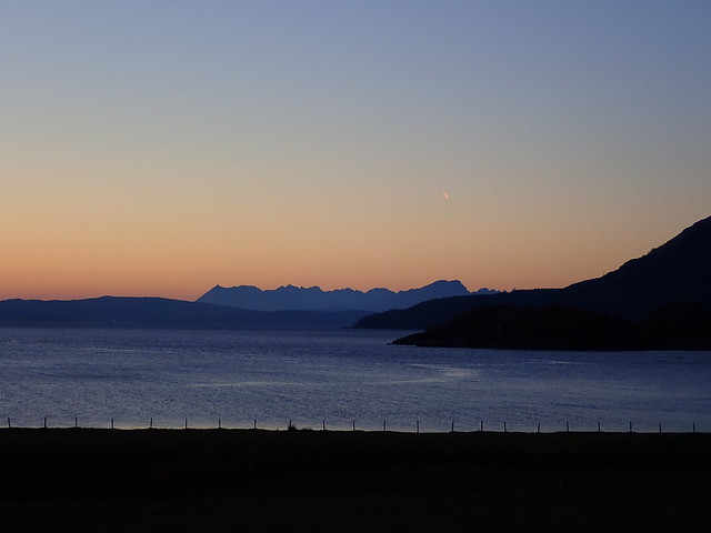 PB170097
 by
Al, on Flickr
A very windy night ensued, and surprisingly no sound of the sea, given that we were pitched just by the beach. Not much sleep was had and despite being under the covers by 6pm it was still a struggle to get out of bed at 7am. Druim Fhada and Beinn Clachach were the hills for today – although looking out at the glorious Cuillin ridge as we set off, being across on Skye would have been a delight. That was the problem with this unexpected weekend of summery weather in the heart of November – too many options! Anyway, Druim Fhada is a cracking hill – we’d climbed it previously from Kinlochhourn and as a result, missed out on the three Simms that grace the ridge before attaining the summit. Another warm day, when coupled with another steep and unrelenting ascent made for hot bodies. There are numerous ups and downs along the ridge, often ending in craggy drops that need to be skirted around. Across Loch Hourn, Ladhar Bheinn rose out of the water, her twin shoulders reminding me that I want to to a full horseshoe circuit one day. We looked down upon Barisdale Bay and later, Kinlochhourn where I could make out the white estate house. The final peak is guarded by two deep lochans – once around these the final scramble up to the rocky summit.
Druim Fhada from Corran
 PB180099
 by
Al, on Flickr
 PB180101
 by
Al, on Flickr
 PB180105
 by
Al, on Flickr
The big curve of Ladhar Bheinn
 PB180106
 by
Al, on Flickr
Barisdale Bay
 PB180109
 by
Al, on Flickr
Looking at the final summit
 PB180110
 by
Al, on Flickr
Towards Kinlochhourn
 PB180112
 by
Al, on Flickr
Sgritheall
 PB180113
 by
Al, on Flickr
Summit view
 PB180115
 by
Al, on Flickr
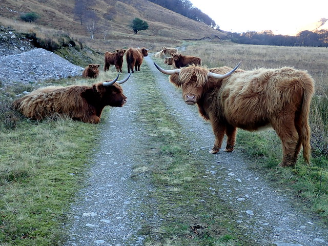
Despite the sunshine it was cool in the wind as we made our way down the northwest slopes descending to the River Arnisdail. Some crags to be skirted, some very steep grassy sections but then safely down on the track. It was now coming on for 1pm and I really wasn’t sure we had time to do Beinn Clachach before the light expired – I remembered the ascent as a very steep one – so I reckoned we should just head back to the car, there being the additional matter of 200 miles home to be undertaken. The track was commandeered by the Hielan coos we’d met on our last visit – or relatives of the same, lying down in the sunshine. Very pointy horns these beasts have, when you need to negotiate between them.
 PB180116
 by
Al, on Flickr
1011m ascent for a Graham of 713m!!
 PB180117
 by
Al, on Flickr
Back at the car it was 16.5 degrees – this is the middle of November, mind! We set off around 2pm, noted several cars parked at the start of the walk to Sandaig on our way past. As we drove along the Clunie dam we noted thick white stuff on the ground under the trees, looking like white ash from a forest fire. Whatever can that be? We thought, until the low temperature detector beeped on the car – 3 degrees! Frost!! I’ve never seen such a contrast in temperatures in the middle part of the day – temperature inversions in the early mornings yes, but not mid-afternoon. We noted the road towards Invergarry had been gritted too. Strange times we live in.
