free to be able to rate and comment on reports (as well as access 1:25000 mapping).
If my previous walk was Plan C, this walk saw me only having to revert to Plan B

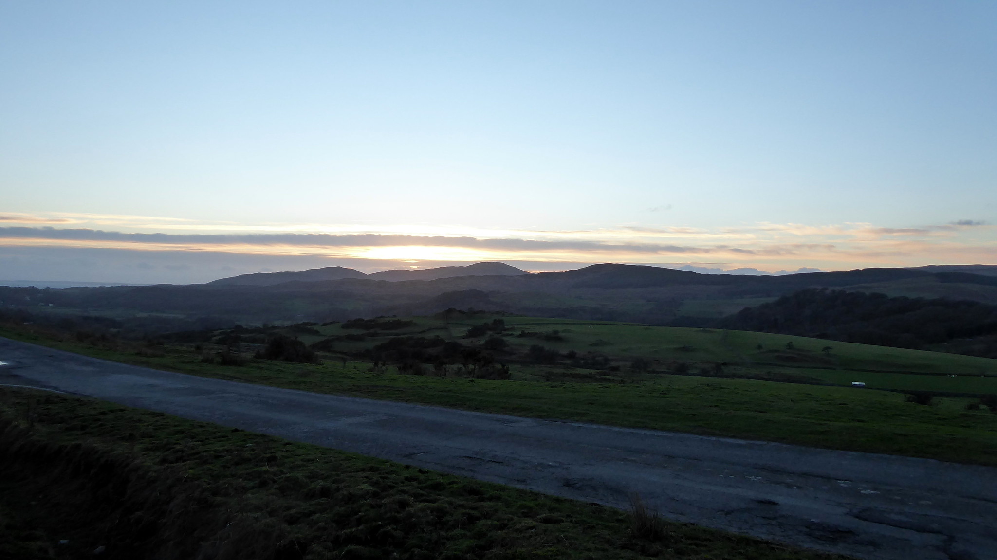
The weekend forecast (well, the Sunday when I was out) was a bit frustrating. Clear blue skies and planty of sun, but with the added bonus of "knock-your-block-off" wind speeds. I love a good walk, but do prefer if I can keep my head attached to my shoulders, so any idea of heading north was off the cards.
I'd opted instead for a couple of sub 2000s, with Plan A being two from the A7 - Pikethaw Hill and Wisp Hill. I suffered from a common bout of "cant-get-out-of-bed-itus", so knew I'd be knocking that idea on the head. After much faffing I eventually decided on Woodhead Hill. If time permitted I'd then have a go at Bengray, which I had run out of time to bag when out late last year.
I had had it in my head that Woodhead Hill was something of a tree bashing exercise, so while I was needing to bag it I wasn't overly enthusiastic. Well, I got it wrong.....so wrong. Ok, so the summit might be a mess, but the actual walk, short though it was, was actually a pleasure. Just goes to show how wrong you can be.
Woodhead Hill does come with a slight health warning.........signs were about suggesting that the say after my visit the woodcutters were coming to cut some wood. Based on my experince of the aftermarth of woodcutters cutting the hill could well be a mess........if the summit is anything to go by, it will be a mess. Once it's settled down though I'd like to hope it reverts back to a great little hill to visit
Anyhoo, less of the rambling on.
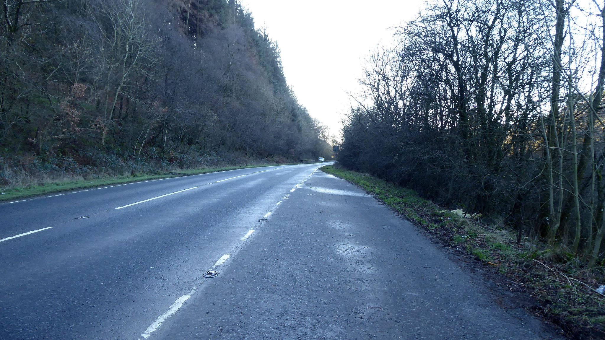
Given my faffing it was a later start than I'd wanted. I had set the sat nav for Lochanhead, although wasn't sure about parking when I got there. A few hundred yards past the Woodhead turning there are laybys either side of the busy AA711. Rather than block entrances, etc. I parked up in one of these and got myself ready.
 P1060321
 by
Pete Riedel, on Flickr
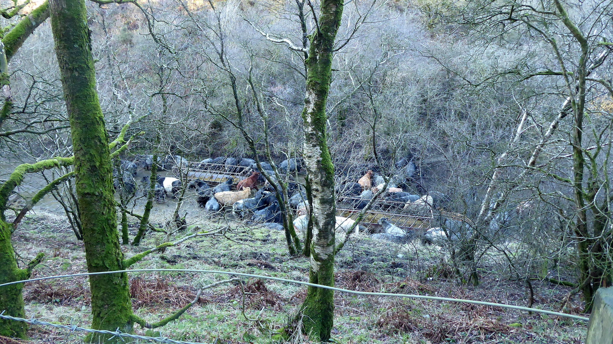
Photo taken when vehicles weren't blasting pastjThe short walk back along the road was probably the worstof the walk, having to dive off the road as cars, vans and lorries came shoorting past. To my right was a herd of cattle, happily wallowing in their "do-ings". I almost started a stampede as I stopped to take a phot, seemingly spooking them from above.
 P1060322
 by
Pete Riedel, on Flickr
Stampede just about to kick off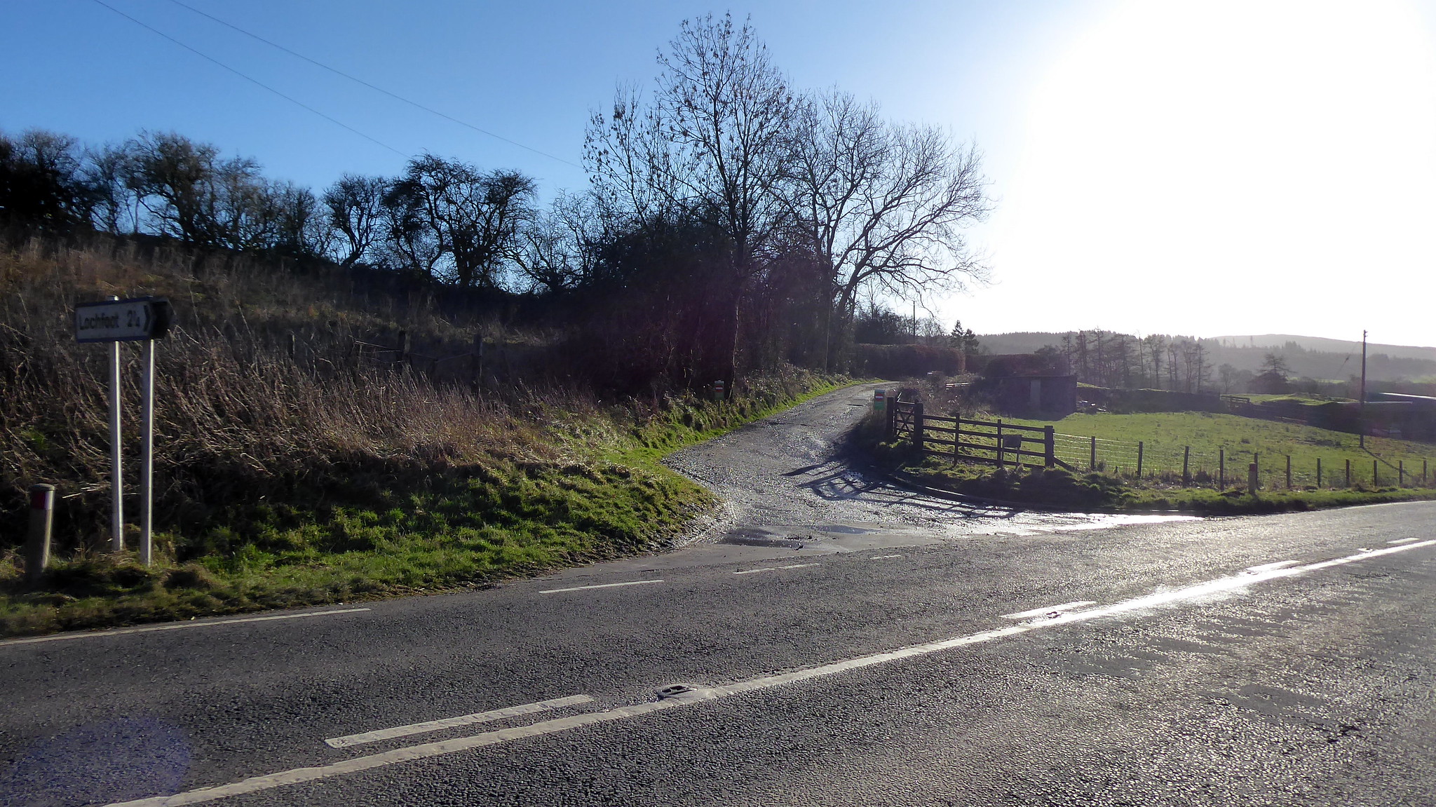 P1060323
 by
Pete Riedel, on Flickr
Had to employ the "Tufty Code" as I arrived at the track off to Woodhead.My route took the substantial landrover track up past Lochaber Cottage to a fork, where I took the left fork.
 P1060333
 by
Pete Riedel, on Flickr
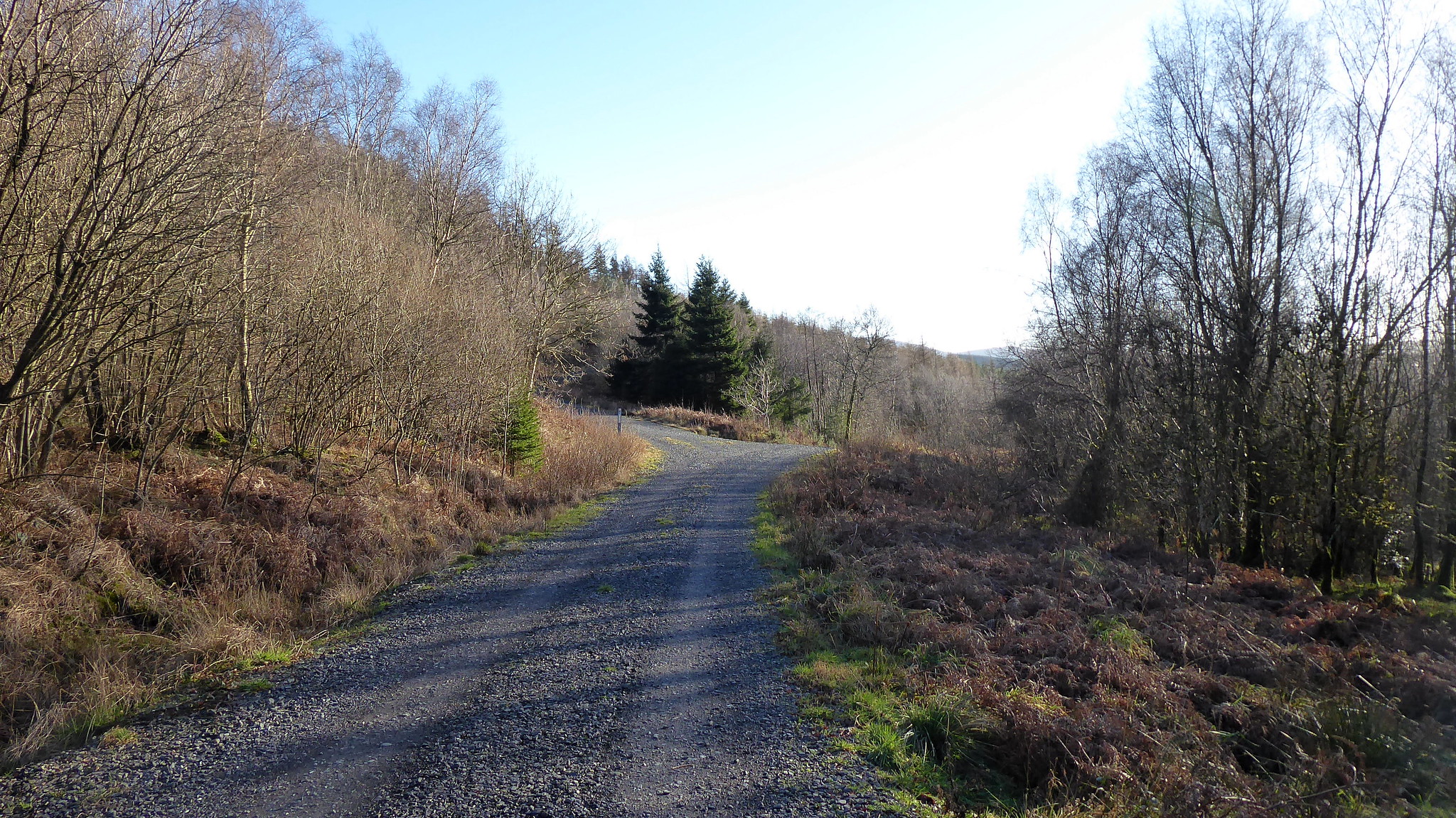
Fork leftI then followed this track to NX926705, where I then left the main track and took the probablt Mountain bike track heading in to the trees.
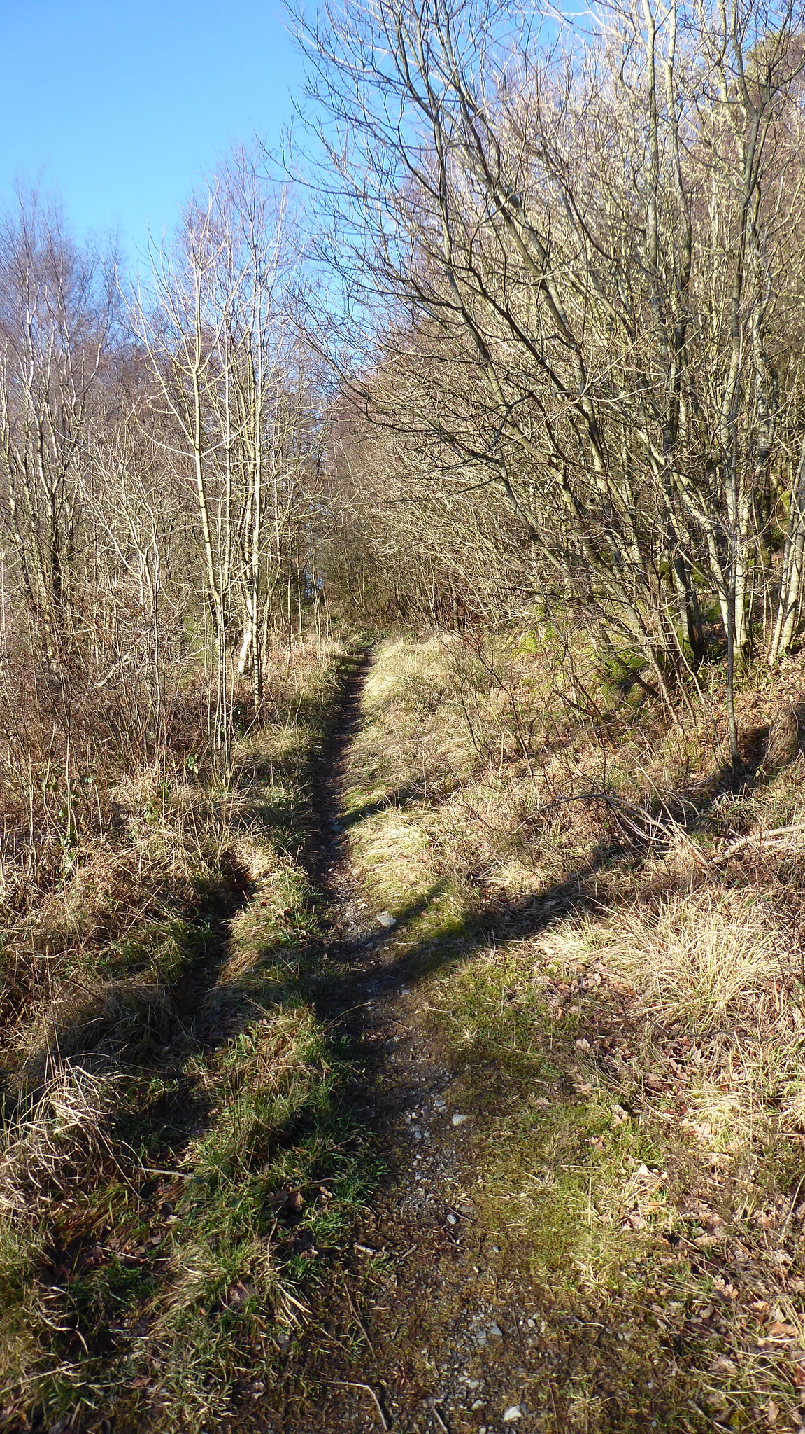 P1060335
 by
Pete Riedel, on Flickr
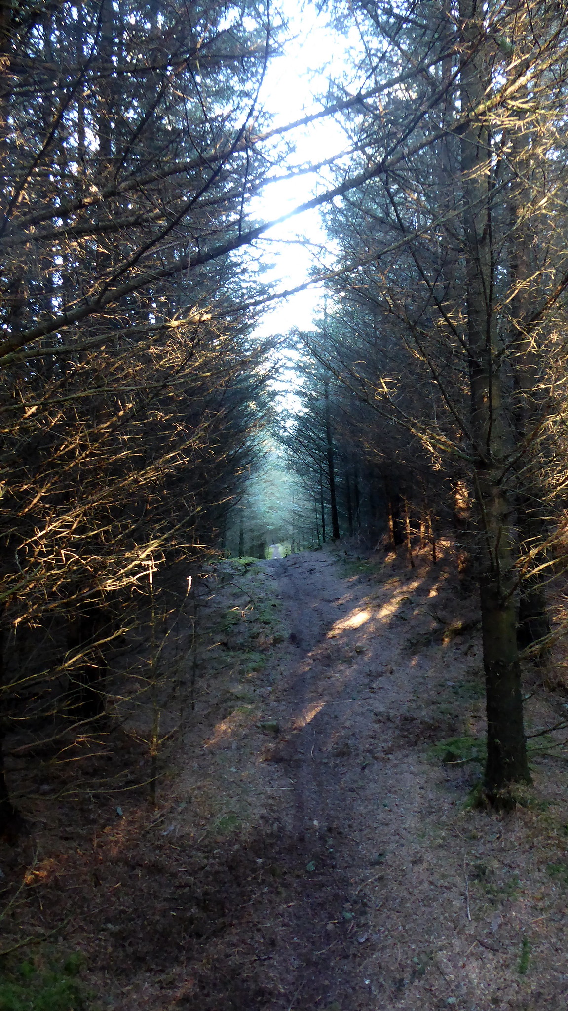
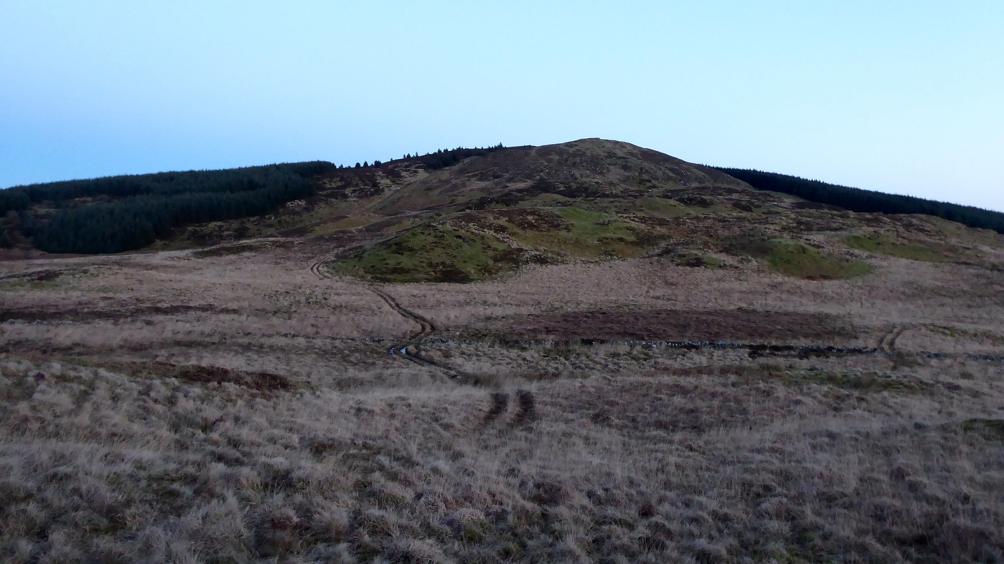
Smashing little track to follow in to the trees. Nice, easy goingyyI followed this track to about NX924711, where a track headed off in to the trees. This made easy walking all the way to the summit plateau, although as mentioned that is a mess and care is needed on gaining the cairn not to break a limb in all the brashings you have to negotiate.
 P1060340
 by
Pete Riedel, on Flickr
The start of the track heading in to the trees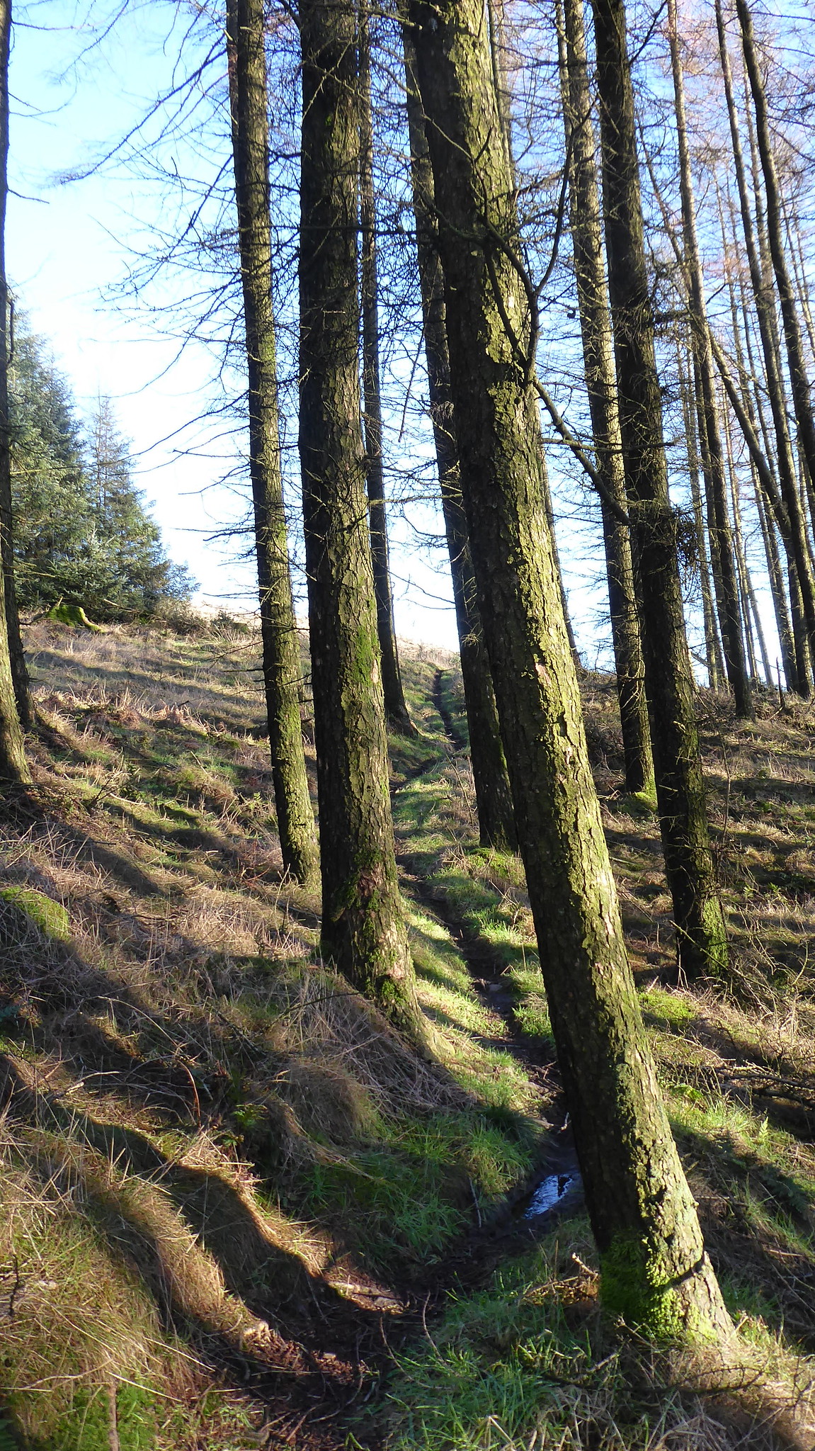 P1060345
 by
Pete Riedel, on Flickr
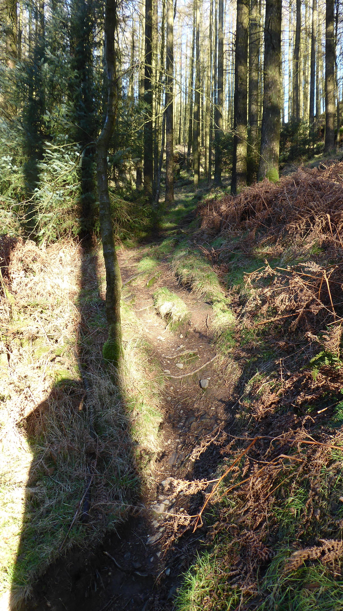
I needed to negotiate a slight detour round one fallen tree, but otherwise it's a lovely little forest walk, gaining height ahead of reaching the open hillside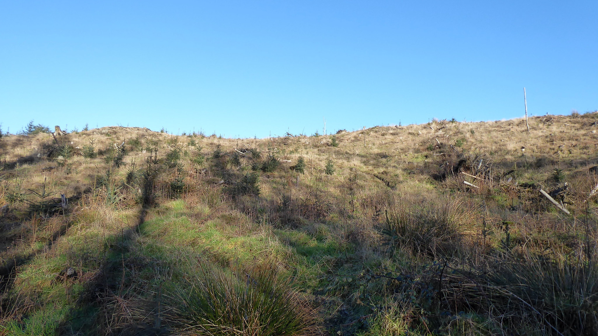 P1060346
 by
Pete Riedel, on Flickr
The track continues on the open hillside, with the summit just a short distance away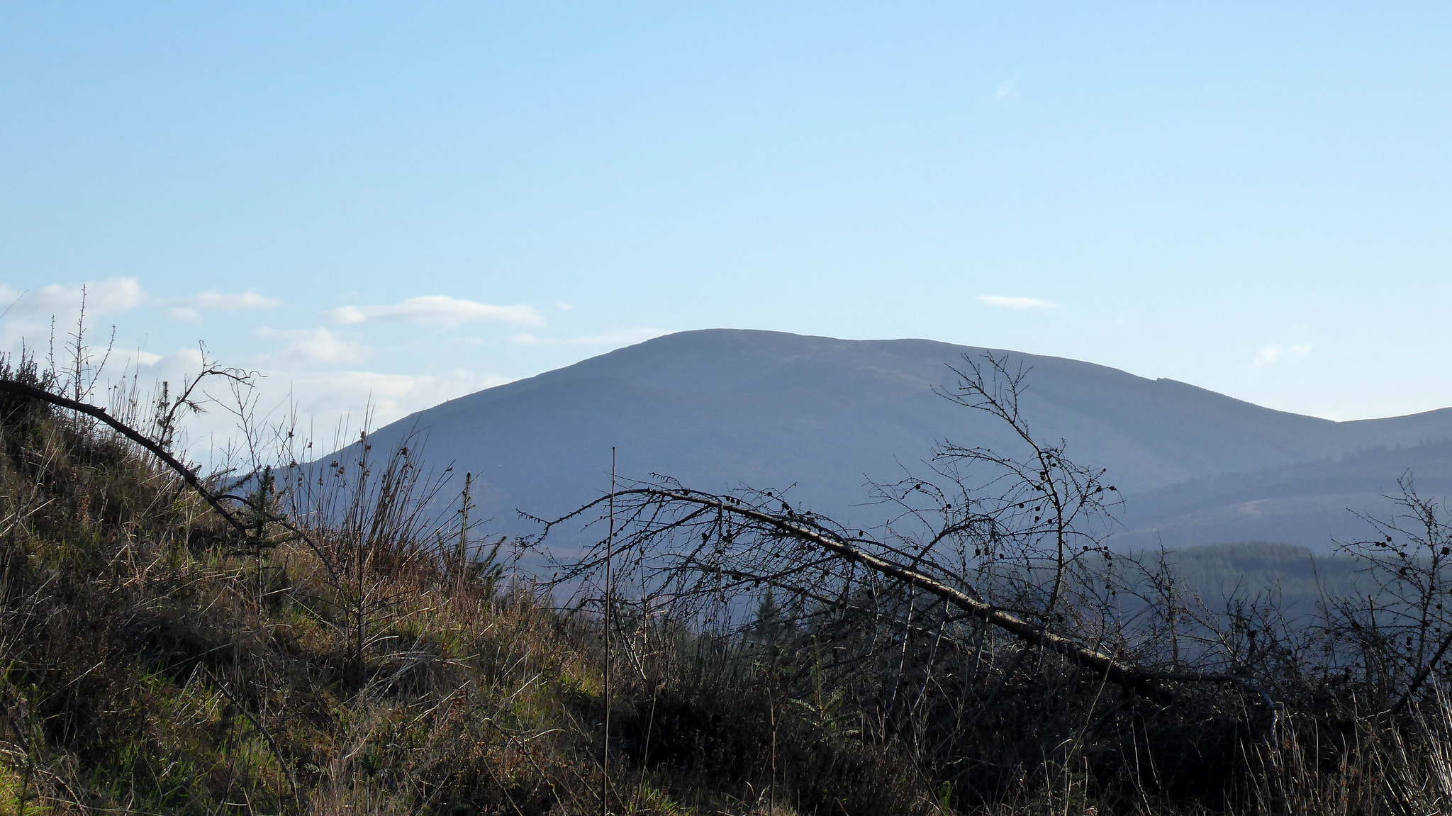 P1060348
 by
Pete Riedel, on Flickr
A niice view toward Criffel - another great walk, if a little boggy at the top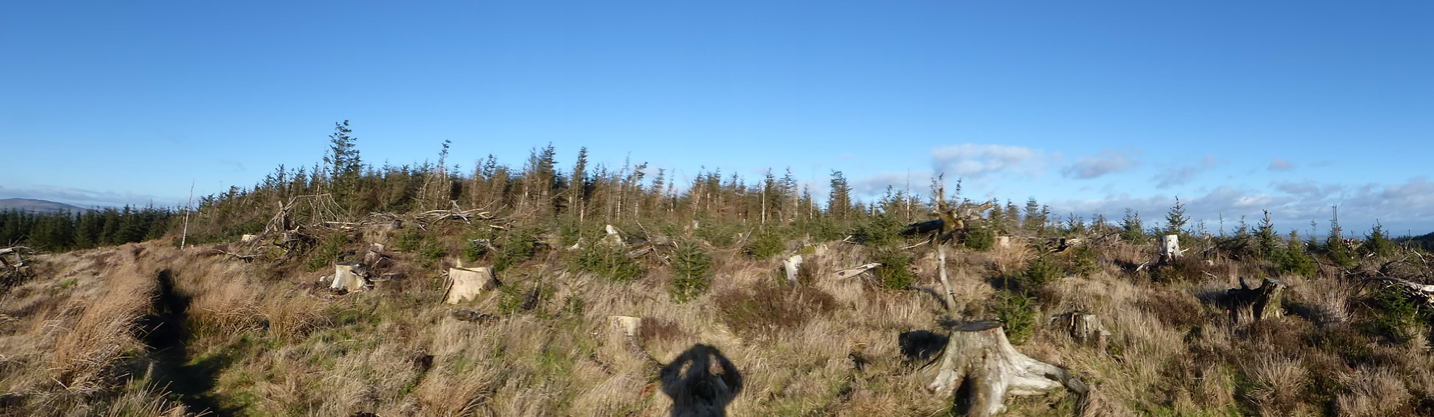 P1060357
 by
Pete Riedel, on Flickr
The summit........it's a bit of a mess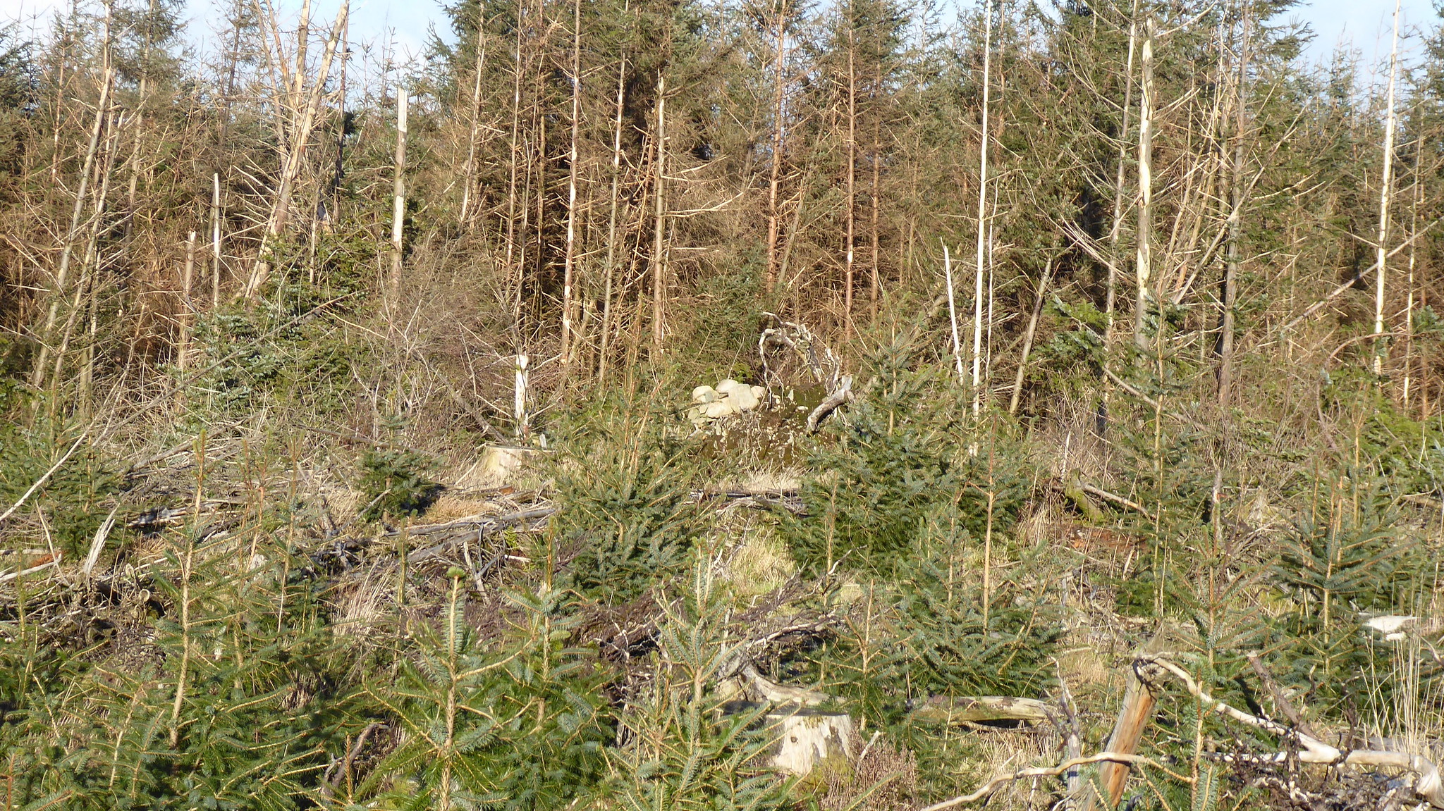 P1060358
 by
Pete Riedel, on Flickr
Summit cairn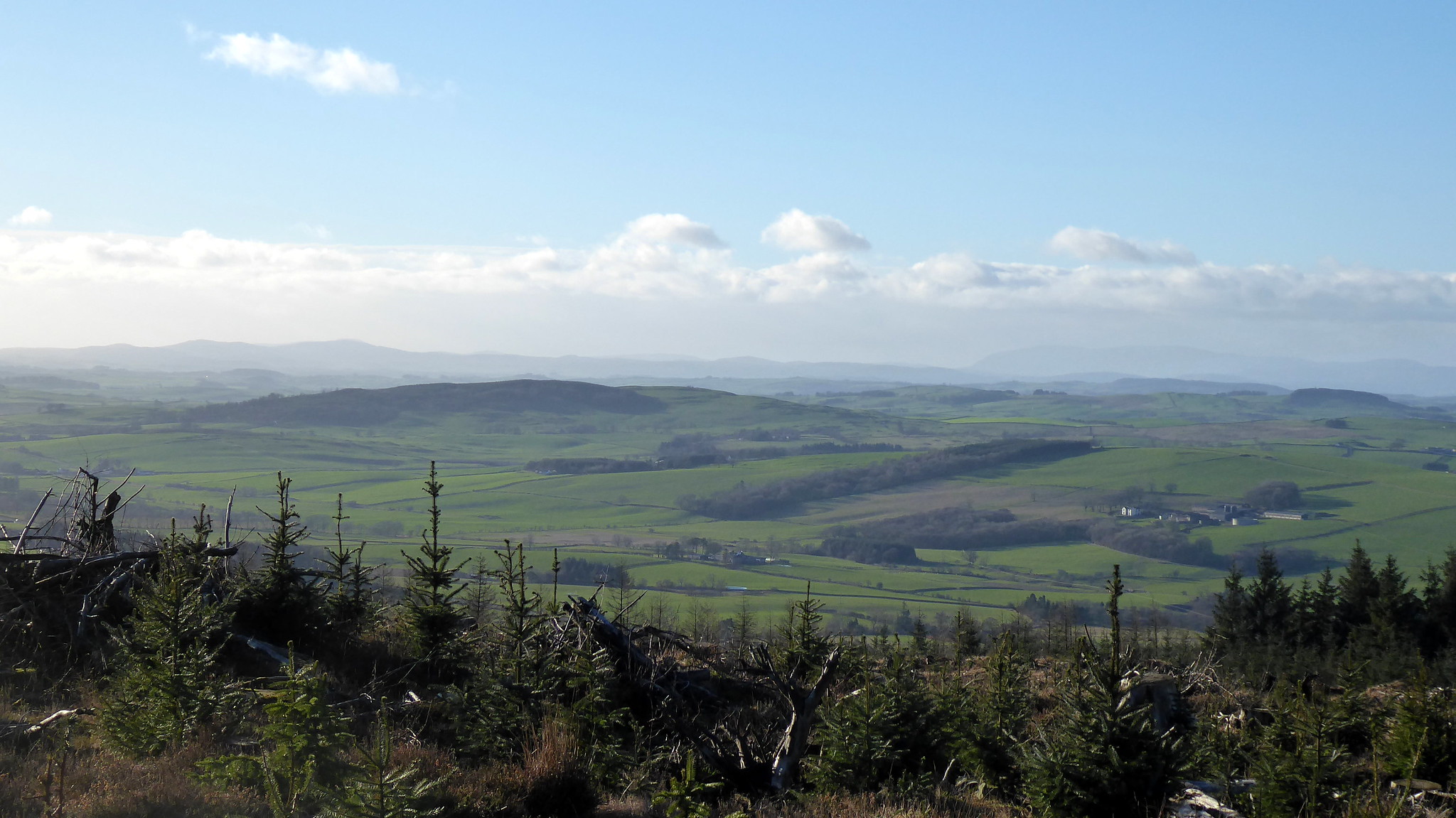 P1060365
 by
Pete Riedel, on Flickr
Beyond Criffel views from the summit were limited, although this could all change once the woodcutters have finished woodcutting of courseI'd expected the summit to be quite windy, but perhaps because of the trees still in situ it wasn't particularly that bad. Didn't hang around too much though, as a result of the somewhat restricted views. Rather than simply retrace my steps I decided to mix it up a bit and head off down another track, which was headed north(ish) and see where it went..........
An excellent choice I must say.
 P1060366
 by
Pete Riedel, on Flickr
The track initially dropped down through the trees......i imagine this is one for the Mountain bikers to use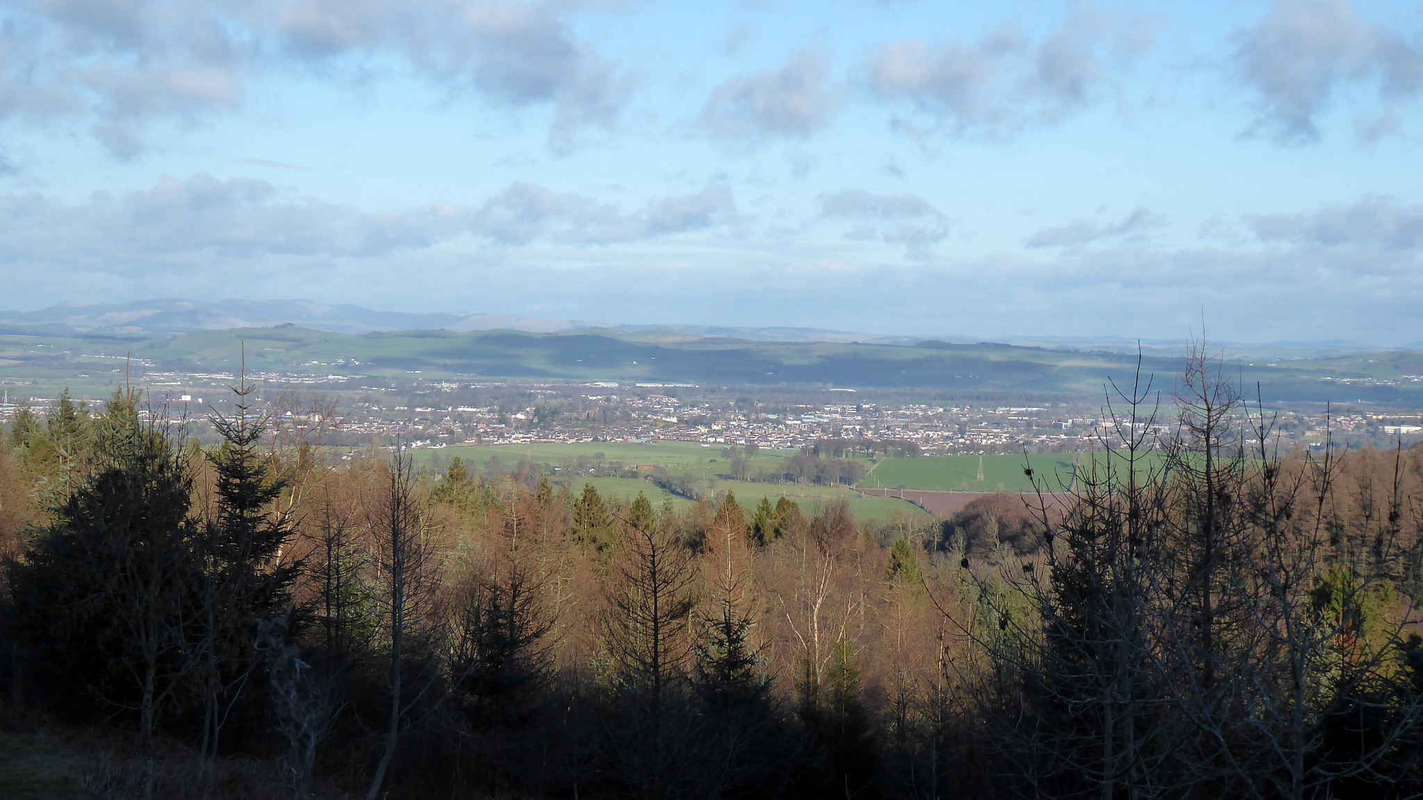 P1060370
 by
Pete Riedel, on Flickr
DumfriesI eventually piked up a mountainbike track marked on the map and decided to follow that...........only inconvenienced a couple of them at one point later on
 P1060373
 by
Pete Riedel, on Flickr
The Bealach Na Ba of Dumfries and Galloway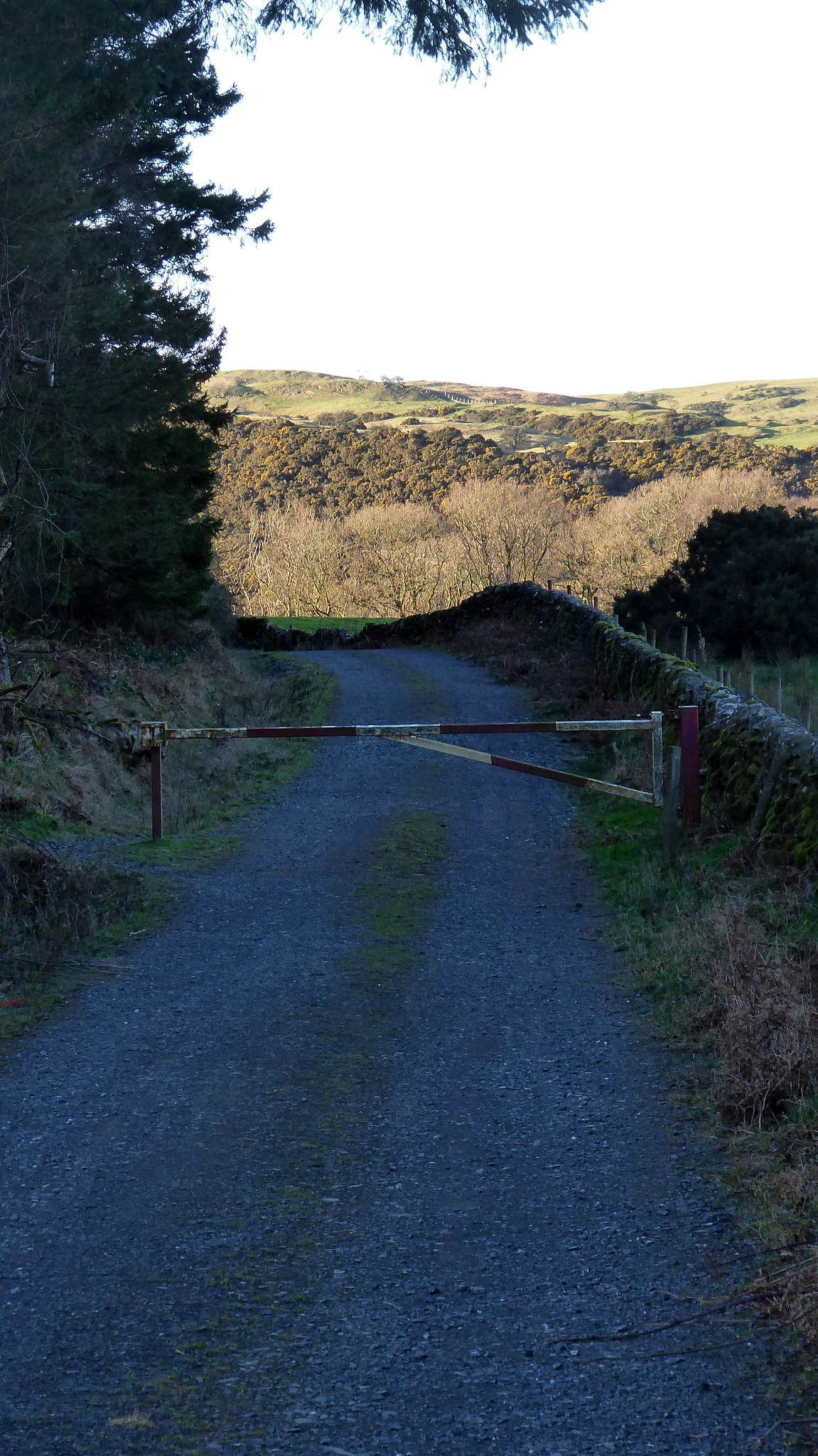 P1060377
 by
Pete Riedel, on Flickr
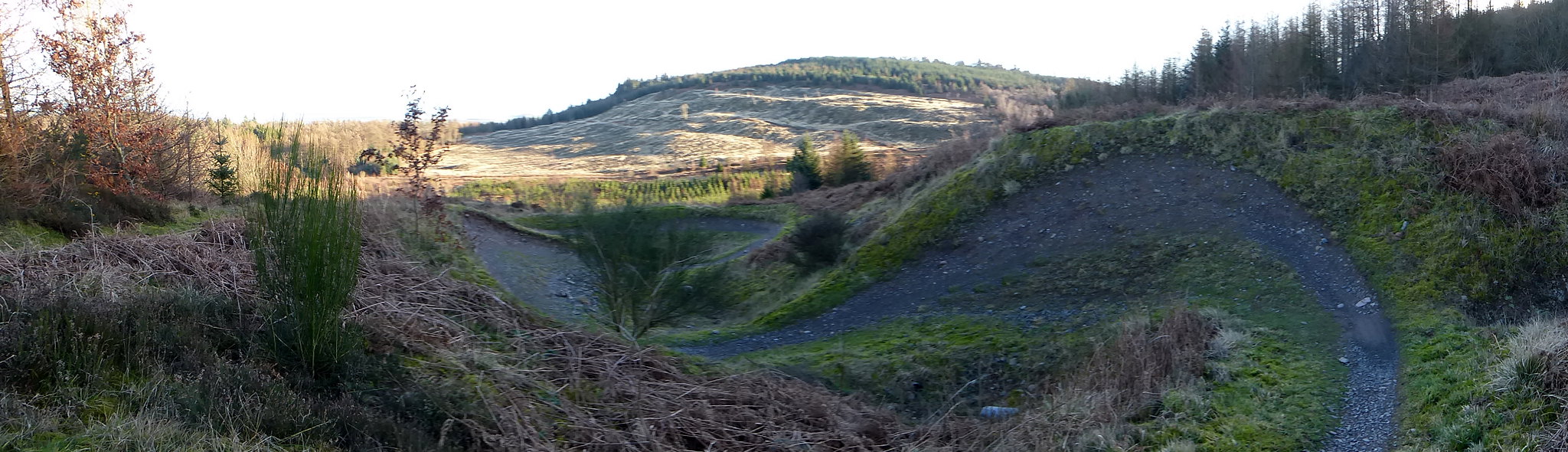
Picked up the main track eventually and headed back to the car. If the summit hadn't been as windy as I'd expected then the section just passed this gate by the quarry was certainly breezy. The area must act as a funnel, as it was hitting me with quite a blast Back at the main road and it was a case of carefully negotiating the short walk back to the car, before heading off to tackle Bengray late in the winter's afternoon.
In a way my tackling of Bengray was a bit bonkers. Light was already fading a bit when I was parking up. It would definitely be dark when I arrived back at my car.
On a previous trip last year to tackle the nearby Whitetop of Culreoch I'd noticed a sizeable (in more ways than one) herd of cattle roaming around in the area I was thinking my car might need parked to do Bengray..........this was concerning. Help is at hand, for those like me who are happy to add a mile to the route, in the form of a parking area for a viewpoint at NX607598just over the cattle grid (approaching from Gatehouse of Fleet).
 P1060385
 by
Pete Riedel, on Flickr
Signs of the sun going down as I set off on my way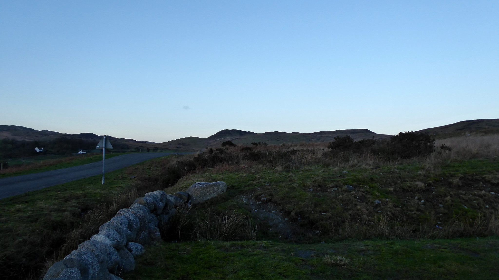 P1060386
 by
Pete Riedel, on Flickr
My roadside route from the parking areaNow it's confession time. This had been a bit of a "should I or shouldn't I" decision to bag this one. Although I had a route downloaded I conspired from the off to not really follow it. Before I reached the track at Laghead I simply decided to head over the open countryside, following an ATV track of sorts.
I never quite made it on to Benfadyeon, so didn't follow that part of the ridge to the sub 2000 summit. Instead I sort of skirted round it, making a vague rising traverse to the saddle between the two. Thankfully the area is well stocked with ATV tracks and animal tods, making the tramp a bit easier.
 P1060389
 by
Pete Riedel, on Flickr
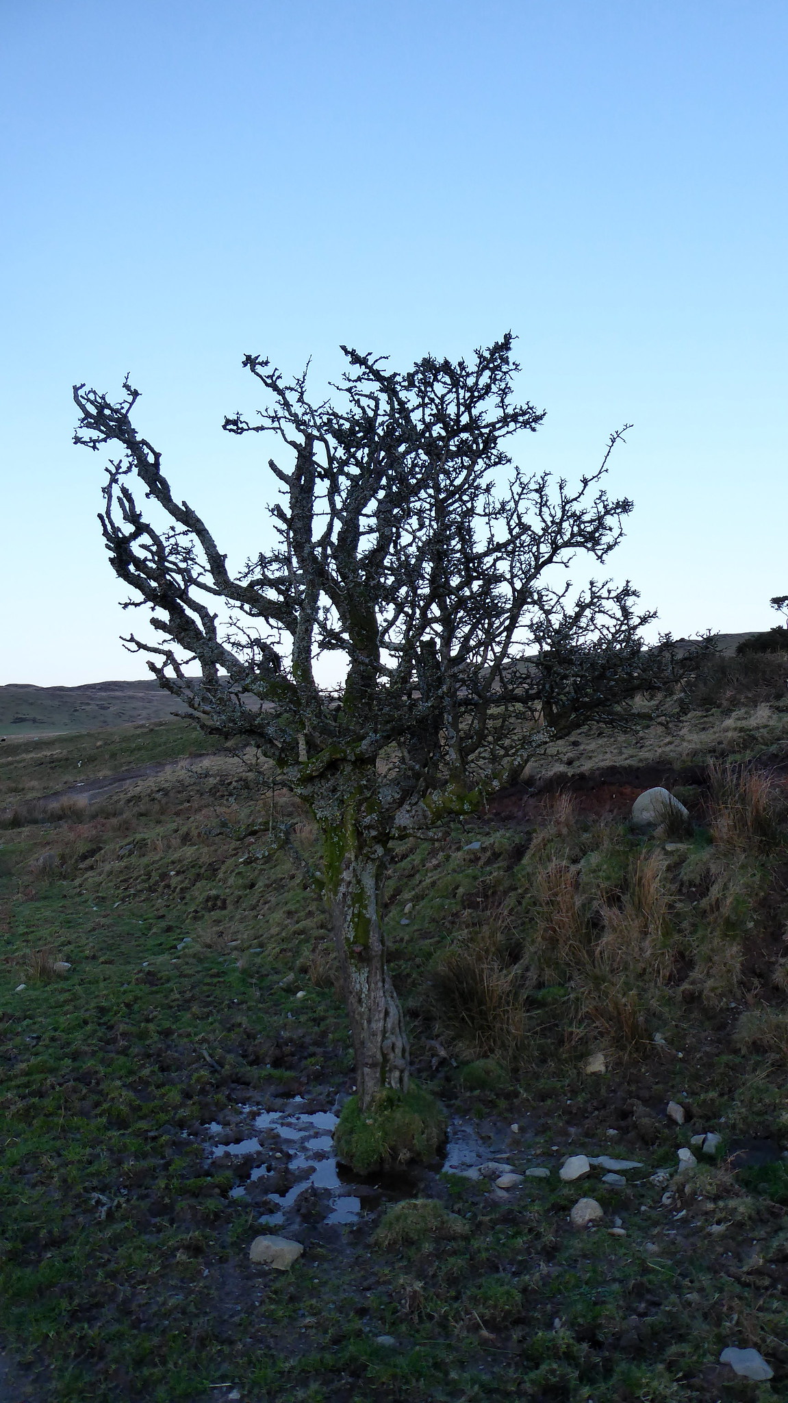
Oh I do like a tree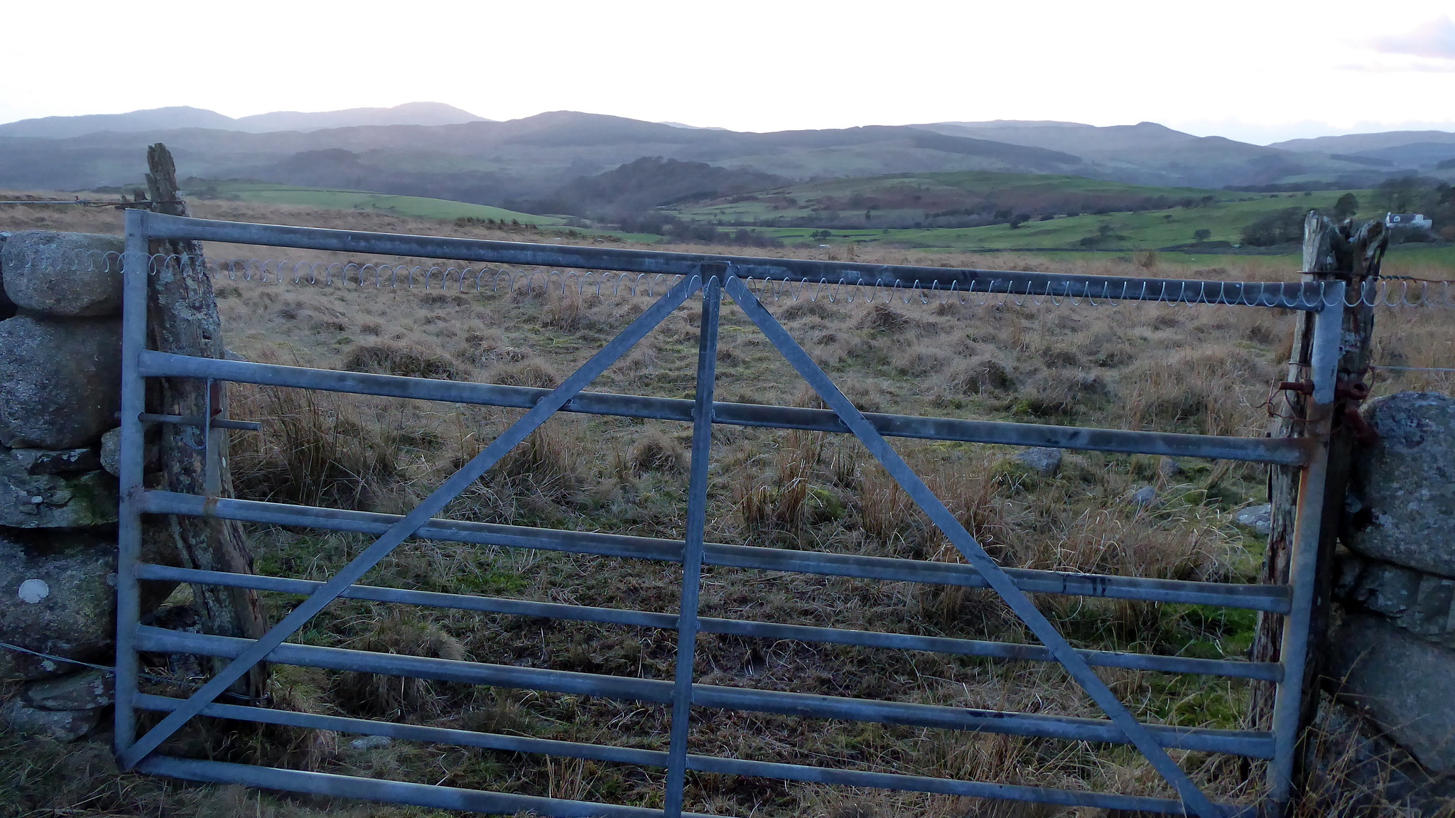 P1060390
 by
Pete Riedel, on Flickr
Climbed the gate, with it's electric fence across it.......seems the farmer needs to stick 50p in the meter, as it wasn't working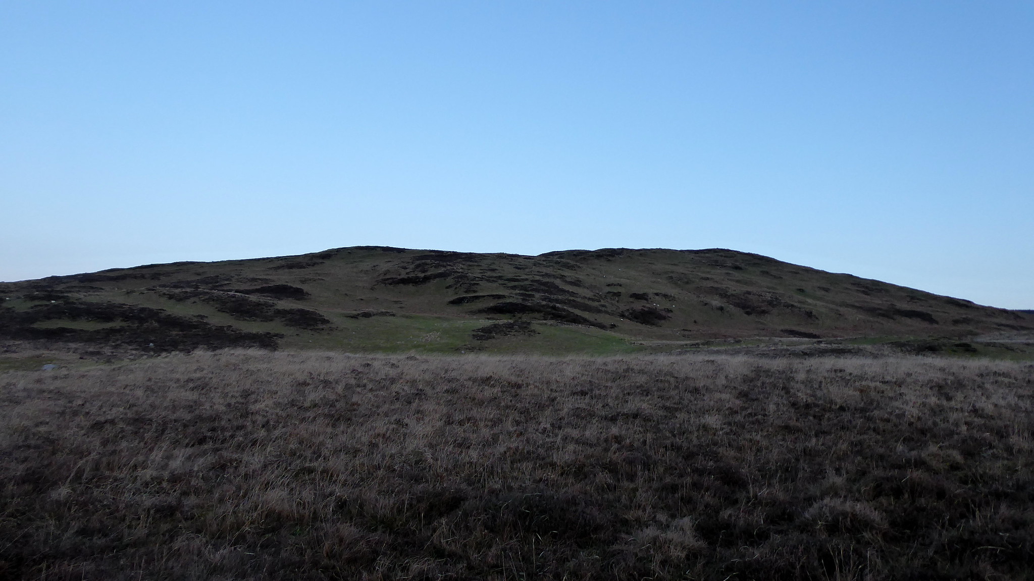 P1060392
 by
Pete Riedel, on Flickr
Heading vaguely in this sort of direction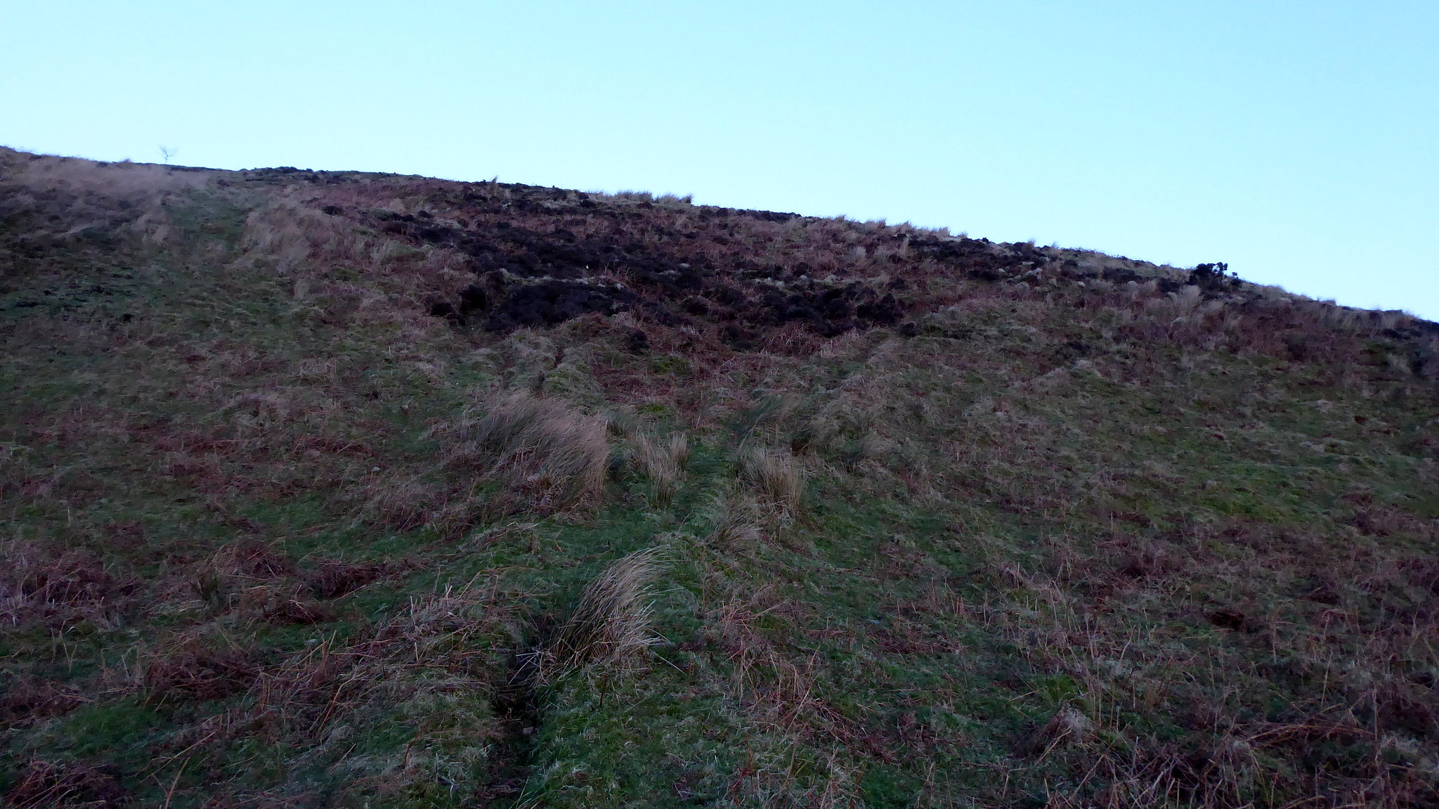 P1060397
 by
Pete Riedel, on Flickr
My rising traverse 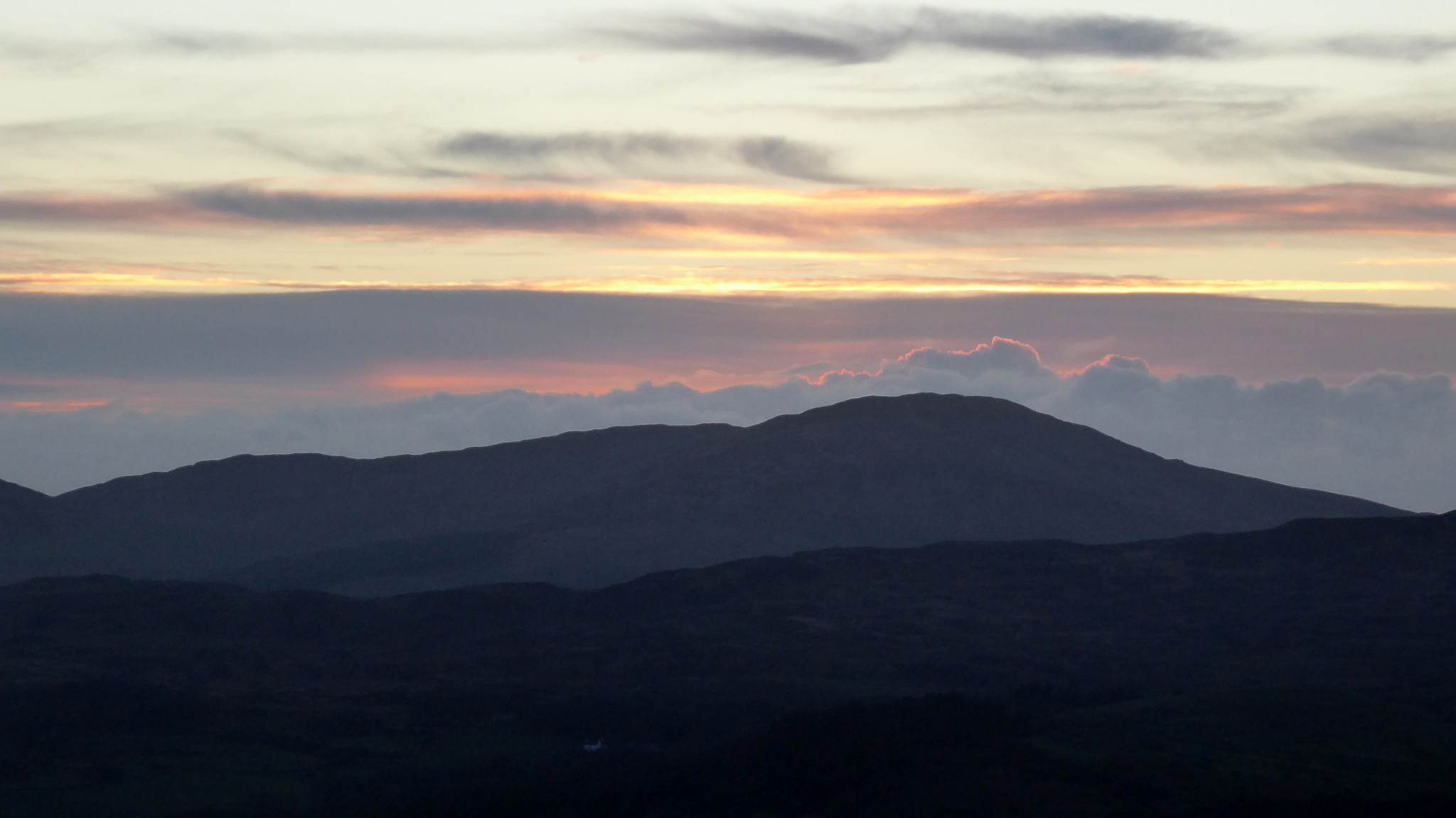 P1060399
 by
Pete Riedel, on Flickr
Still some nice views in the fading light P1060403
 by
Pete Riedel, on Flickr
My target coming in to view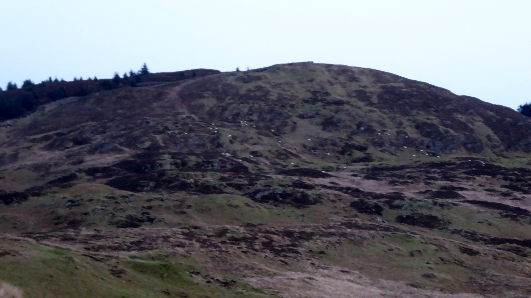 P1060404
 by
Pete Riedel, on Flickr
It looked like a bit of a drop down and then slog back up to bag the hill........thankfully there is a good ATV track that can be followedyThat said, I didn't follow it all the time, as it seemed to meander and the last thing I wanted was to find myself heading off away from my target.
 P1060410
 by
Pete Riedel, on Flickr
There were a few ups and downs along the way, but progress to the top (or close to it) wasn't difficult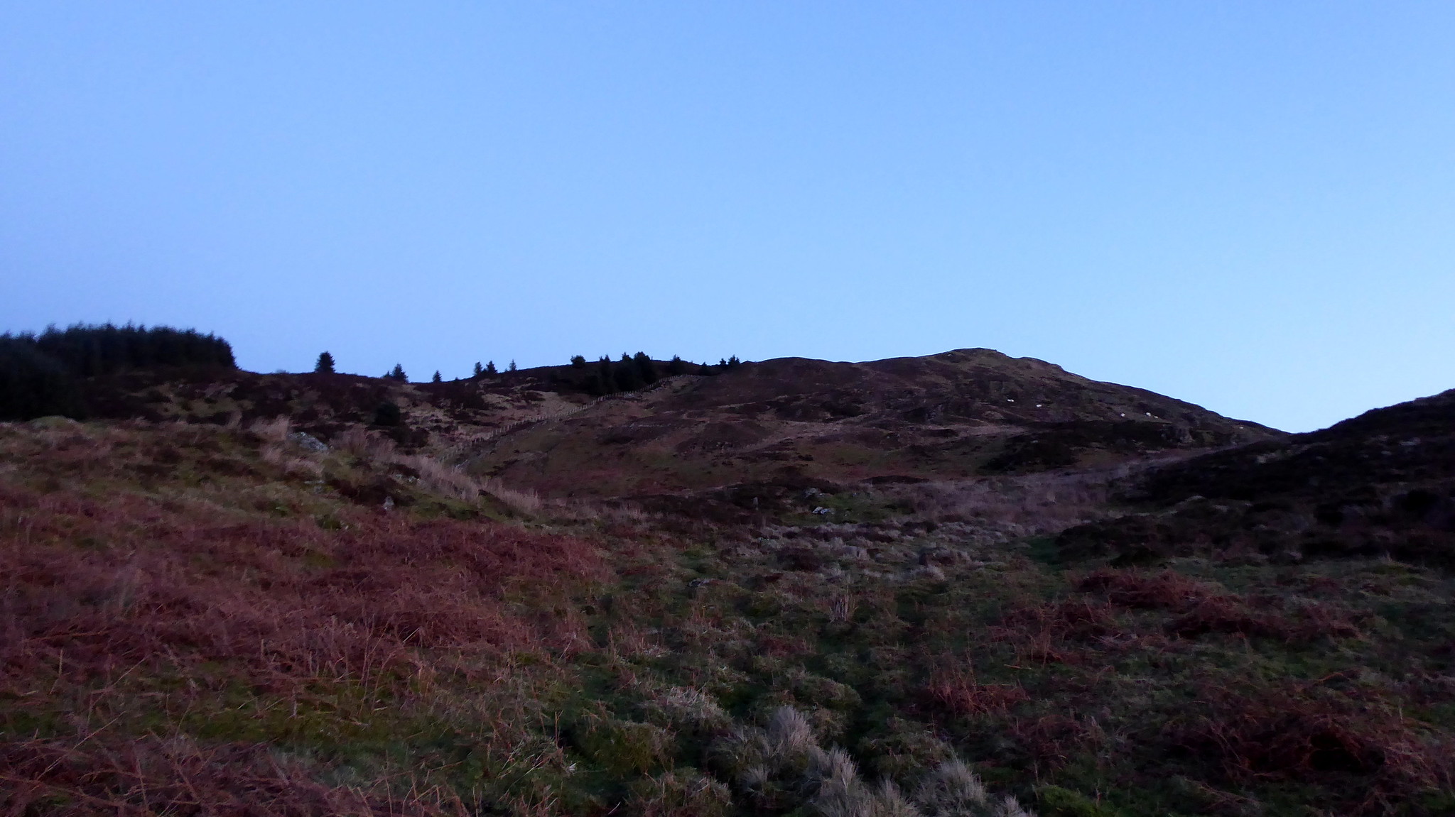 P1060415
 by
Pete Riedel, on Flickr
Still not too bad, as the light held out a while longer than I'd expected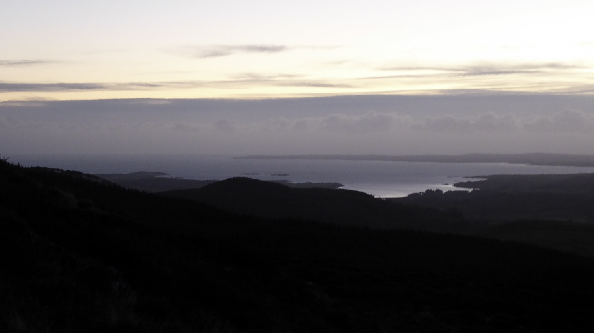 P1060420
 by
Pete Riedel, on Flickr
Wigtown Bay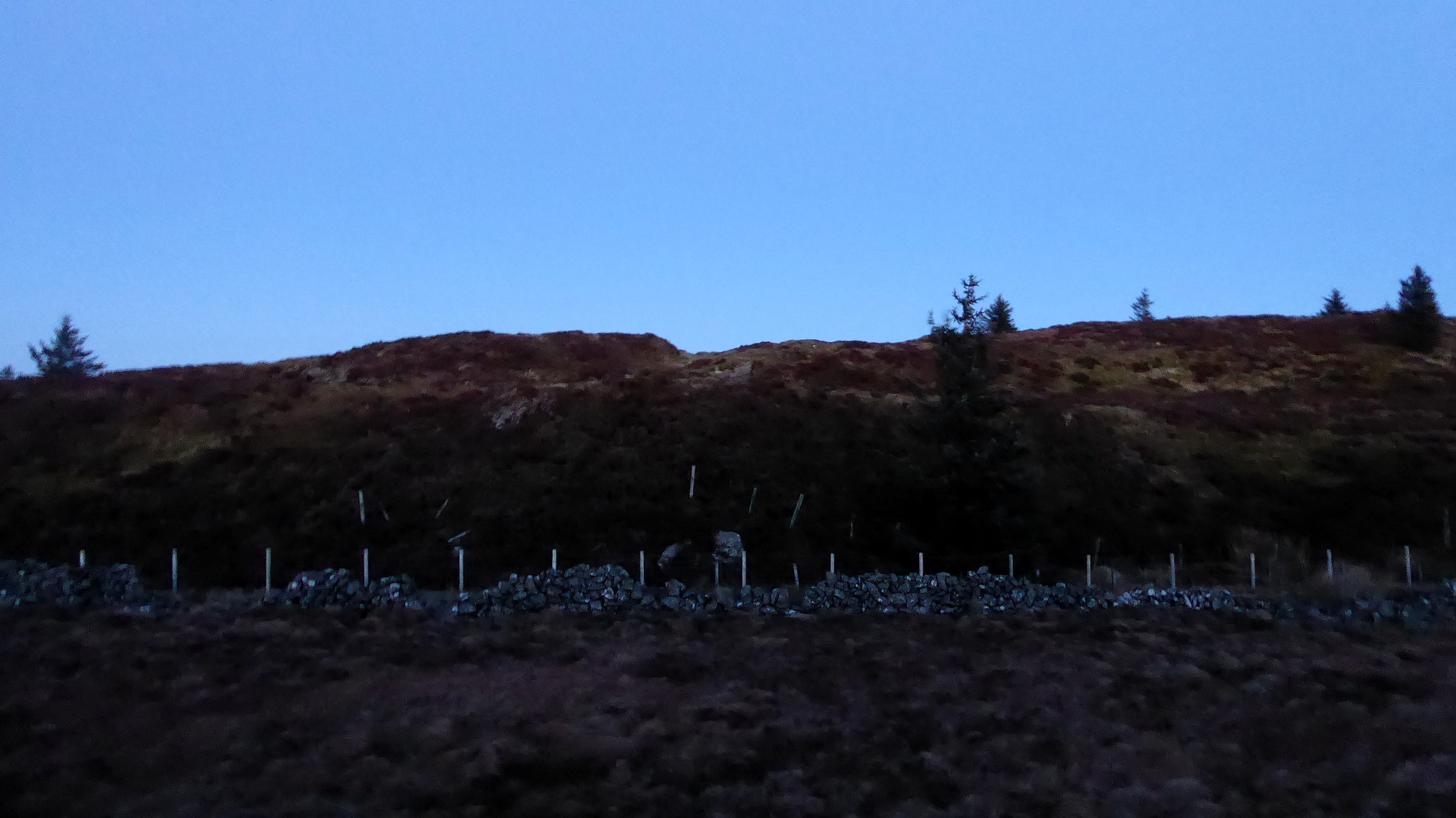 P1060425
 by
Pete Riedel, on Flickr
The final ection to the actual top is a bit of a bugger. I had to scale this fence, which had barbed wire on the top.........me and barbed wire don't get on, as the chilhood scar on my left leg can testify. If I'd gone a little to the left they haven't actually completed the barbing, so it can be scalled without risk to your vitalsFrom the other side of the fence it was then a slog over heather to finally arrive at the trig. By then light was being lost fast, so no summit views to speak of
 P1060428
 by
Pete Riedel, on Flickr
Summit trig P1060430
 by
Pete Riedel, on Flickr
Perhaps looks darker than it wasKeeping up the theme of not following my planned route, I had decided on the way up to vary by descent. Rather than retrace my steps I thought it would be a good idea to follow the line of trees down Dalmalin Hill and then follow the fence lines back down to the road. Now, in good light that might be a reasonable alternative..........but by the time I was a short way down it was basically dark. A voyage of discover in a 6 foot radius (or however far the beam from my head torch reaches).
Vaguely, via walls (all of which were pretty substantial and not ideal for climbing over in the dark), gates and gaps in the walls I was making my way toward High Creoch. Thanks has to be given to the flock of sheep I was annoying, as they kept running away through the gates and gaps in the wall, thus making my traipse in the dark significantly easier for me.
It looked like the inhabitants at High Creoch were home as I diverted in to the sheep and cows toilet (sorry, field) beside their abode. Goodness only knows what they must have though of this beam of light sliping and sliding past their house in the darkness, had they looked out their window.
Eventually I was passed the house and out of the field on to the driveway and then eventually the minor road and the short walk back to the car. Despite the apparent desire not to pay any head to the route I had planned and the sometimes less than pleasant descent back to the road it had actually been a really enjoyable last minute add on to the afternoon. Defintely glad I did it.
