free to be able to rate and comment on reports (as well as access 1:25000 mapping).
After waiting for 'Storm Erik' to head off to other shores I asked George if he fancied a wee leg stretch, Parminder was back down in the big smoke again so it was either a solo or a duo walk. My preferred plan would have been to head NW and pick off a Munro or two that Parminder has already bagged but the forecast up north was pants so I suggested the alternative plan to George and he was up for it. George even offered to drive and as we weren't travelling quite so far we could have a bit of a lie in.
The plan was to tackle Cairnkinna, Cairn, Kirkland and then Green Hill in that order, however that plan was amended after the first hill.
We have to say a big thank you again to inca as we sort of followed his routes apart from Cairn Hill.
Cairnkinna Hill
Distance: 3.5km
Ascent: 415m
Time: 1hr 40mins
So the adventure begins by George picking me up at 7.30 and off we head south, traffic was nice and light but we did get stuck behind the usual Sunday afternoon driver (on a Sunday morning) on the Biggar road.
Navigating to the planned start point was fun as I was using the old fashioned method of OS map, we went into Penpont and then left the beaten track and it was unclassified roads for quite a few miles.
We found the parking spot described by inca and now the fun begins.
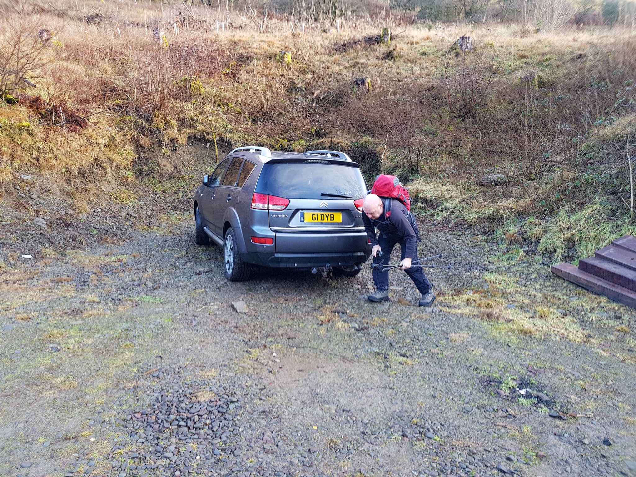
George has now finished his push ups so it was time to set off
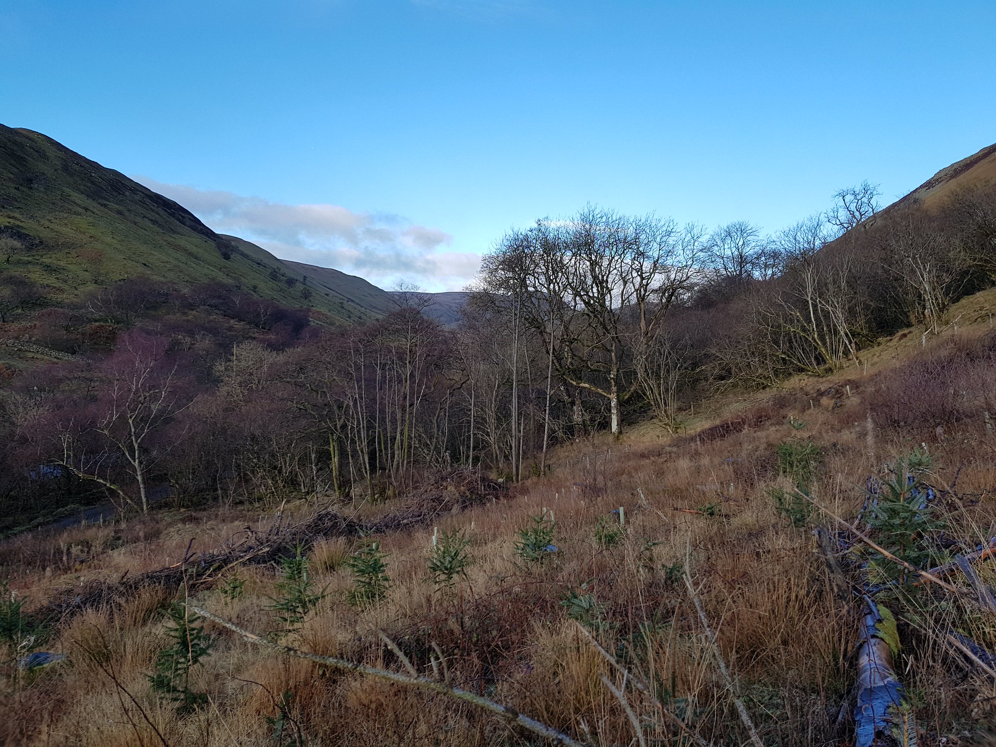
The initial bit was familiar territory for us
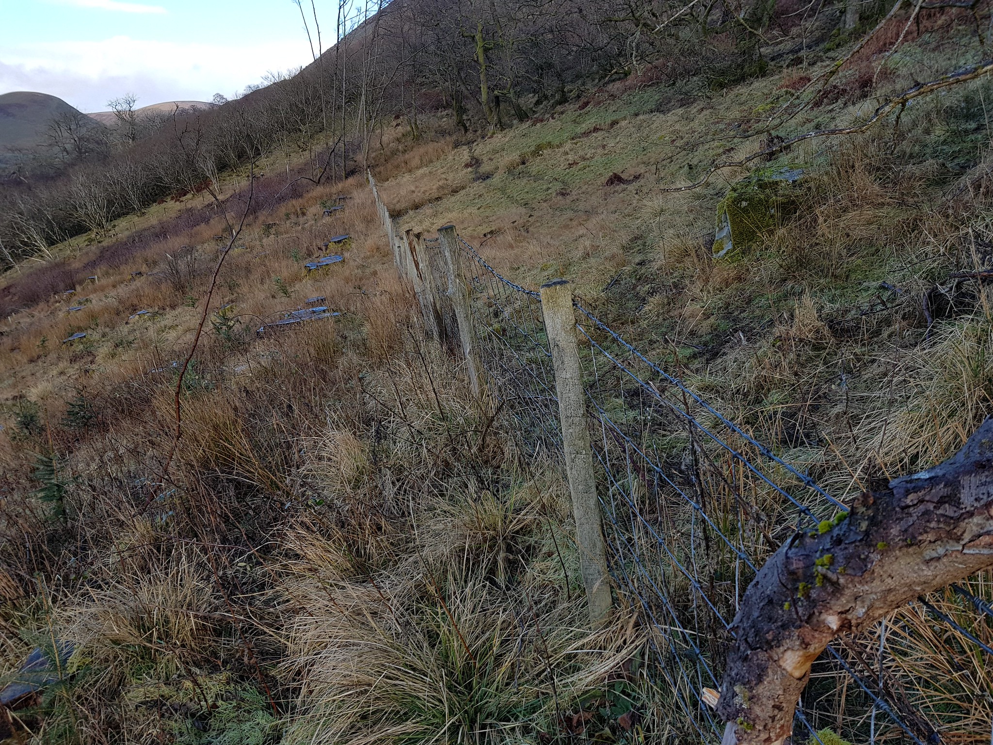
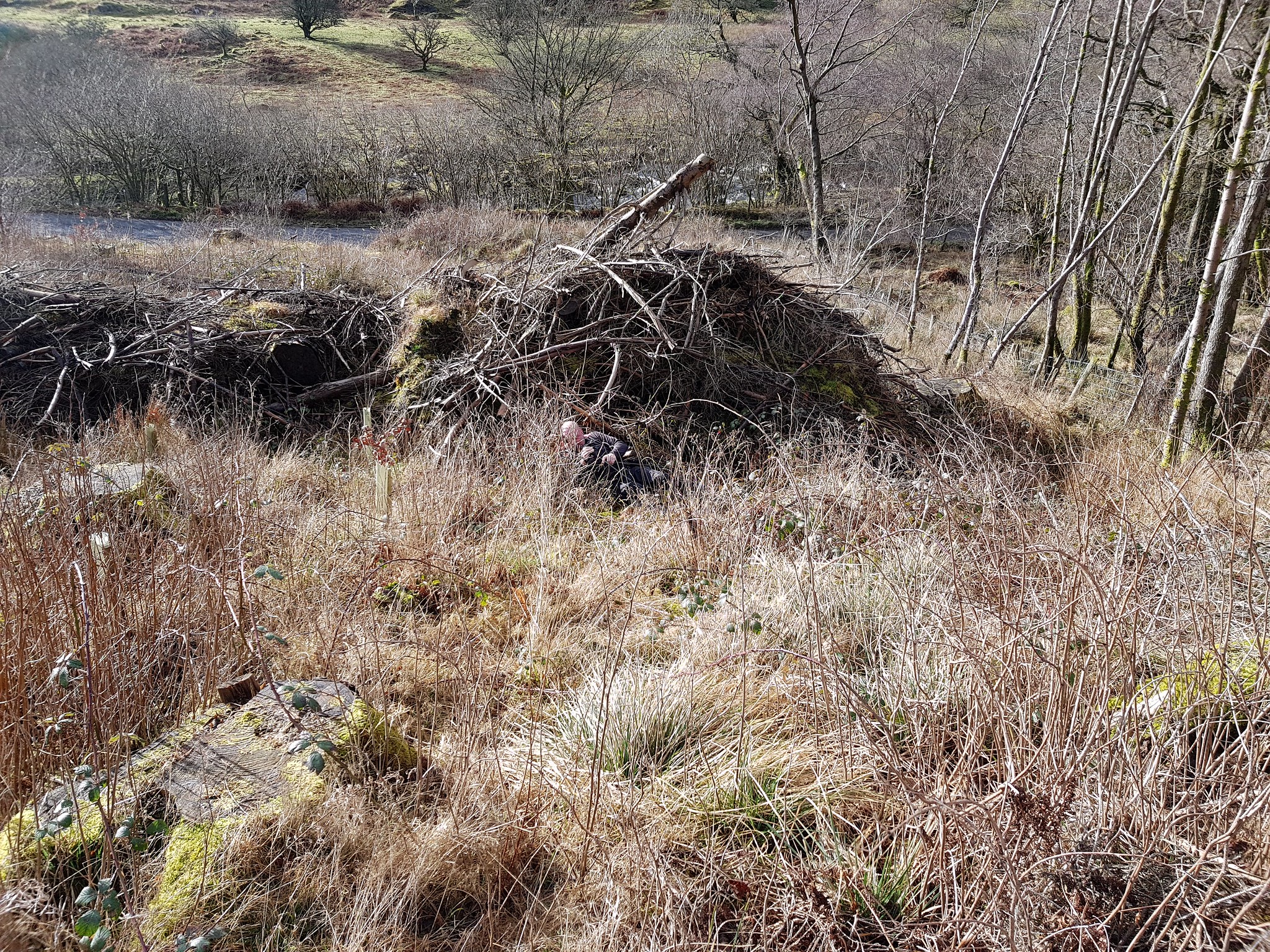
Major obstruction, barbed wire fence with no obvious crossing points, so we wandered east

Just this side of the wall a tree had fallen onto the fence and barbed wire was missing
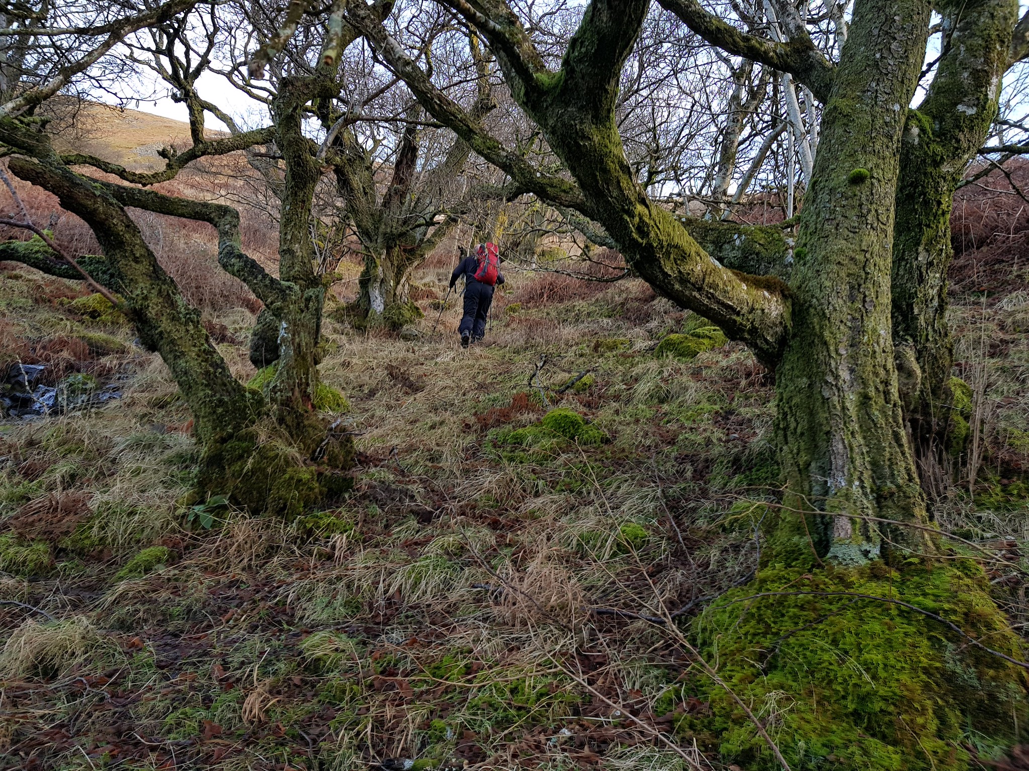
Slightly easier going, just trees and brambles to avoid

We definitely weren't heading that way

George assessing the next uphill bit
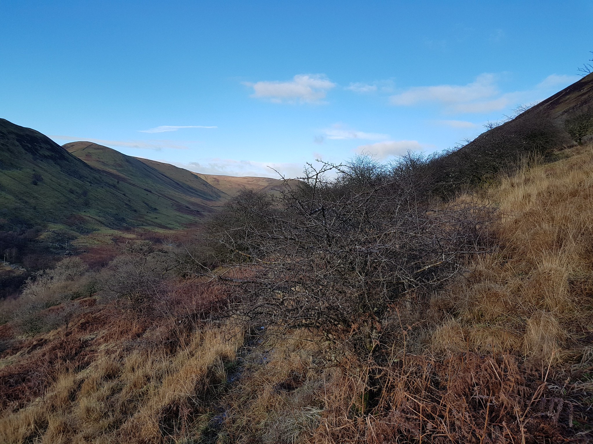
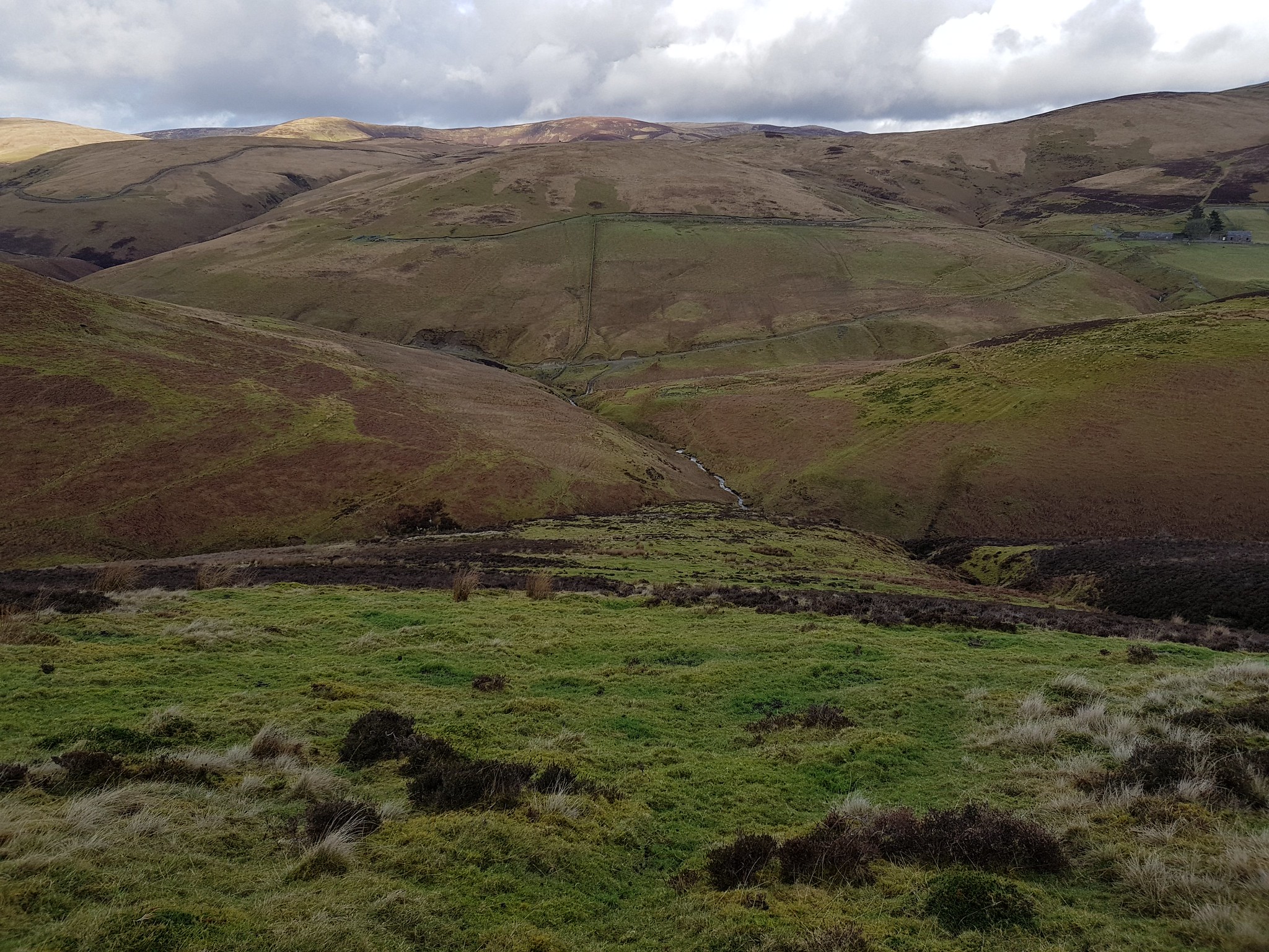
Looking west along the glen, from low level
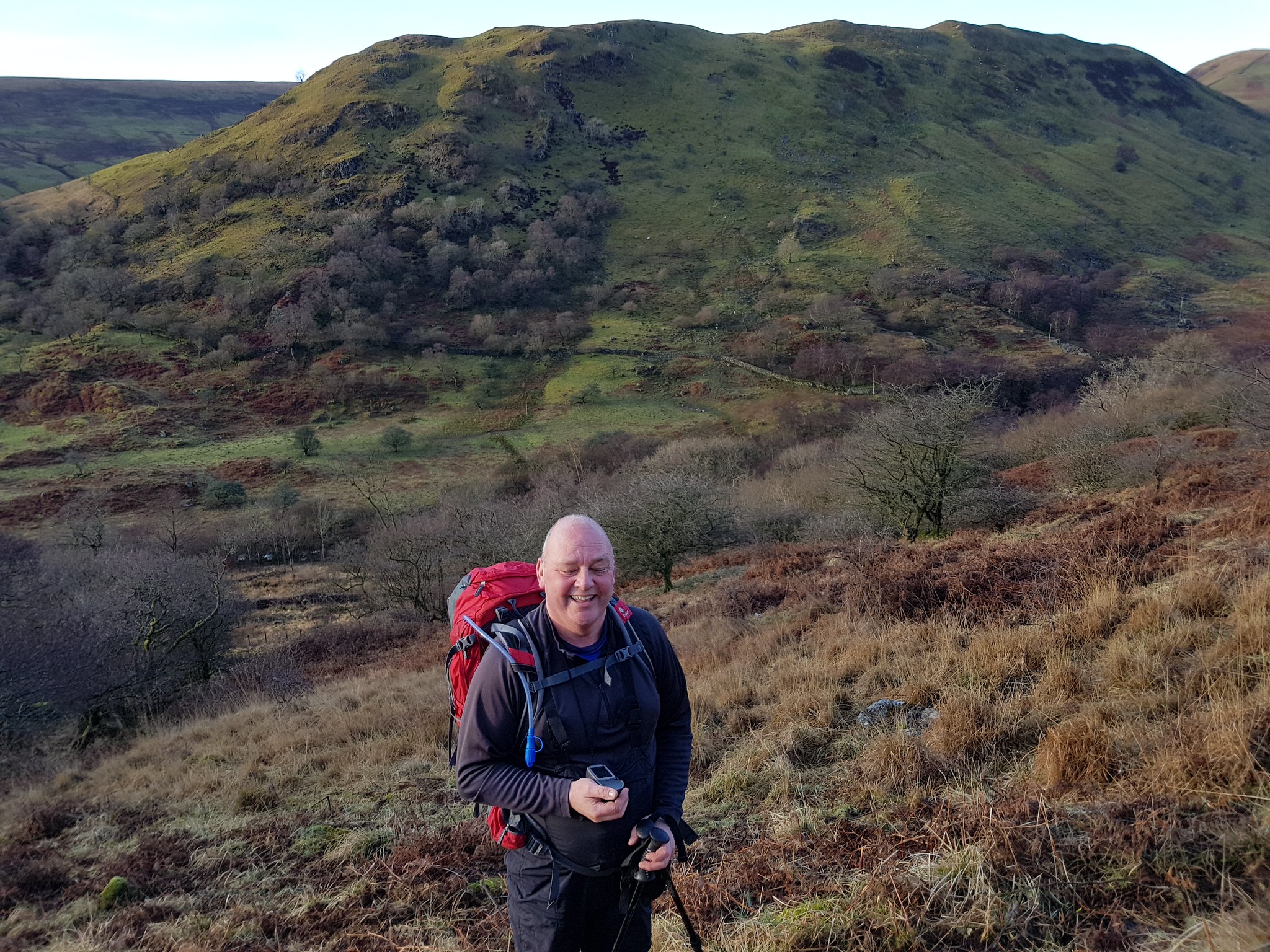
George smiling or grimacing

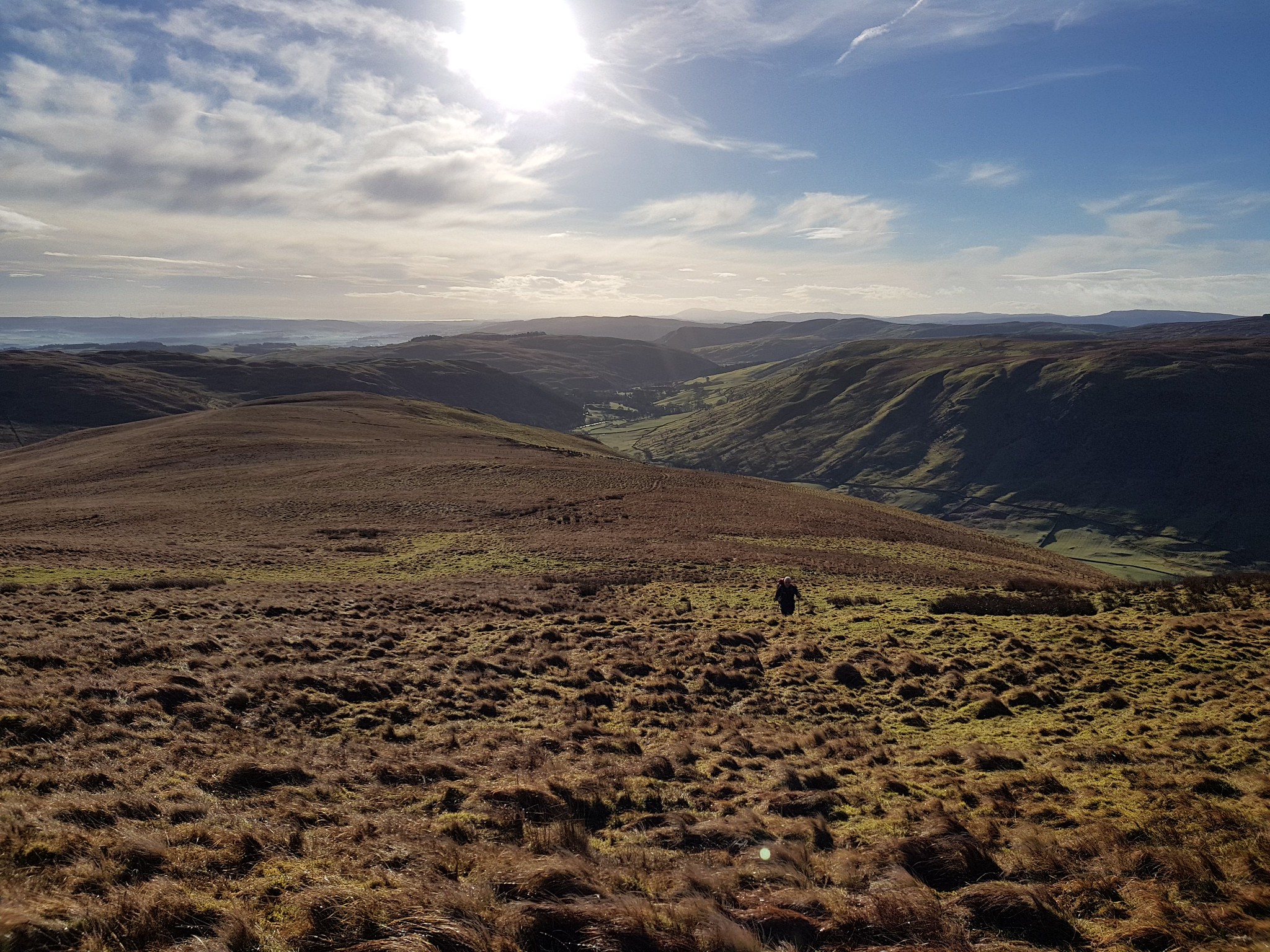
George enjoying the rather relentless steep ascent
Kind of shows the angle of ascent

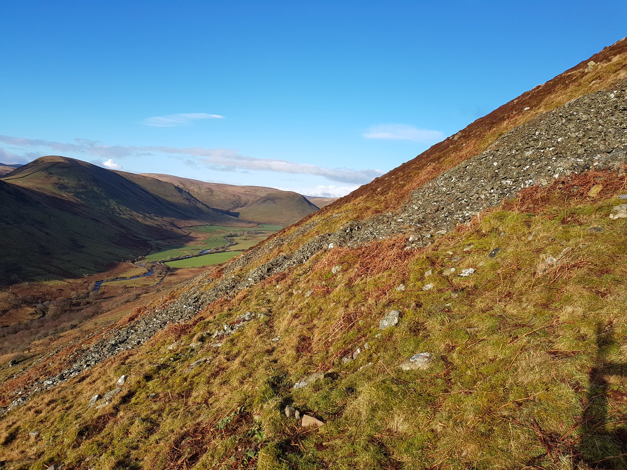
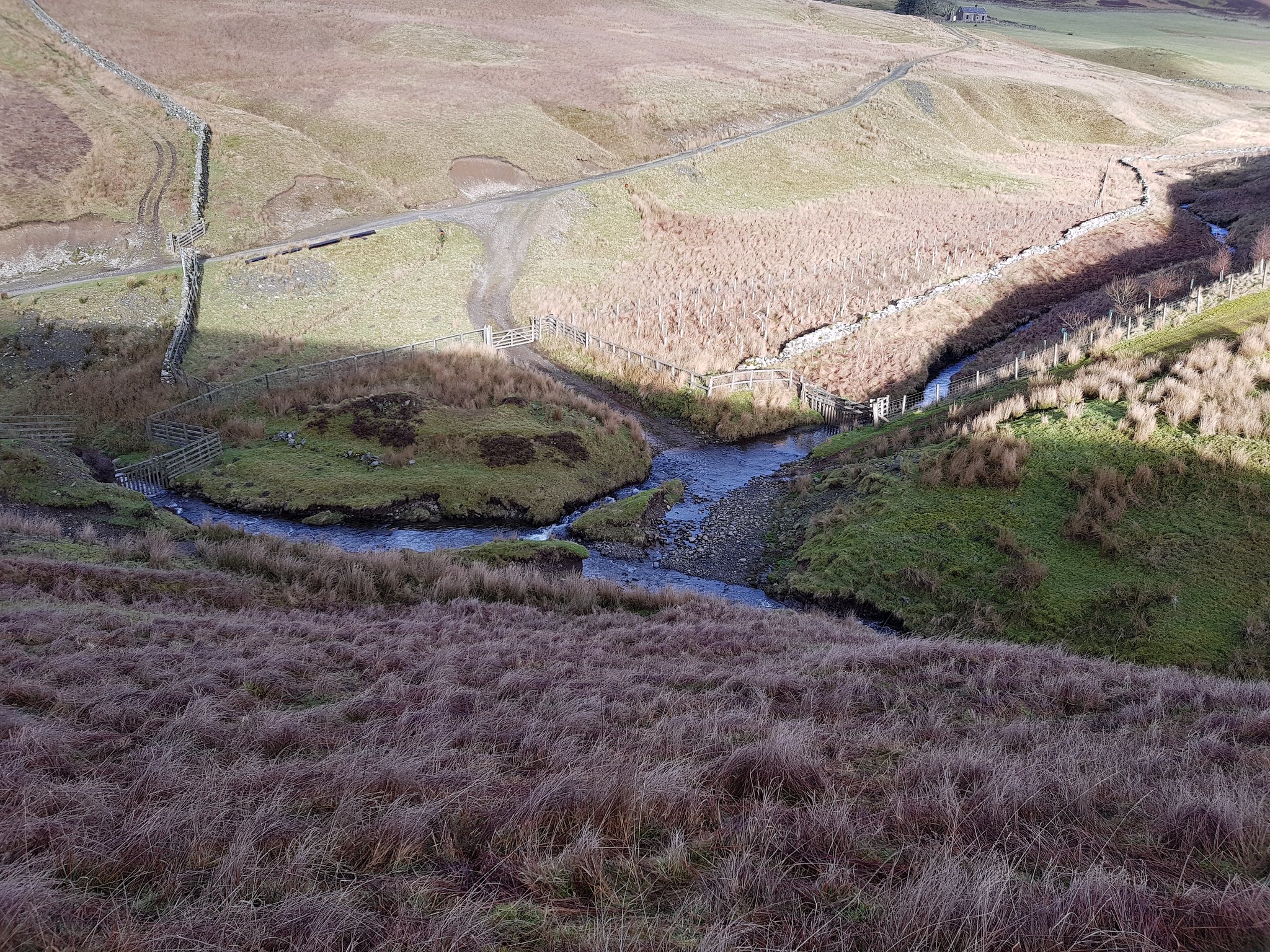
Looking back down at the car

Farmer had left his quad to check on the sheep down the hill, George was tempted to take it for a spin
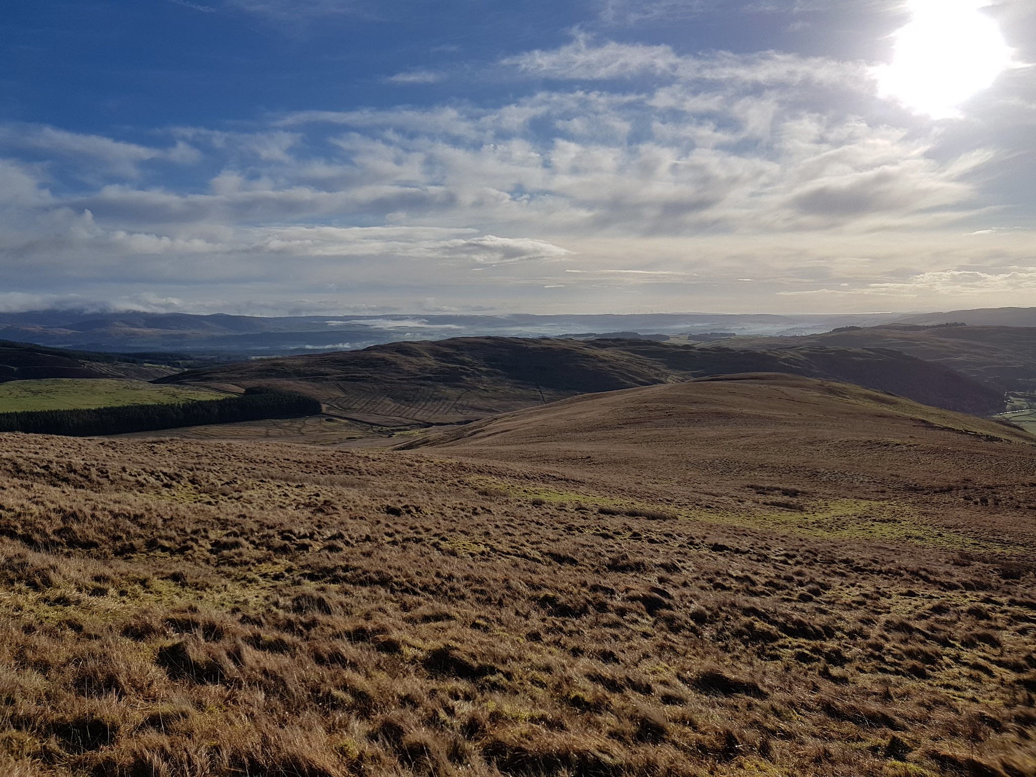
Looking south ish
Looking south ish again

Solway Firth in the distance over 30 miles away
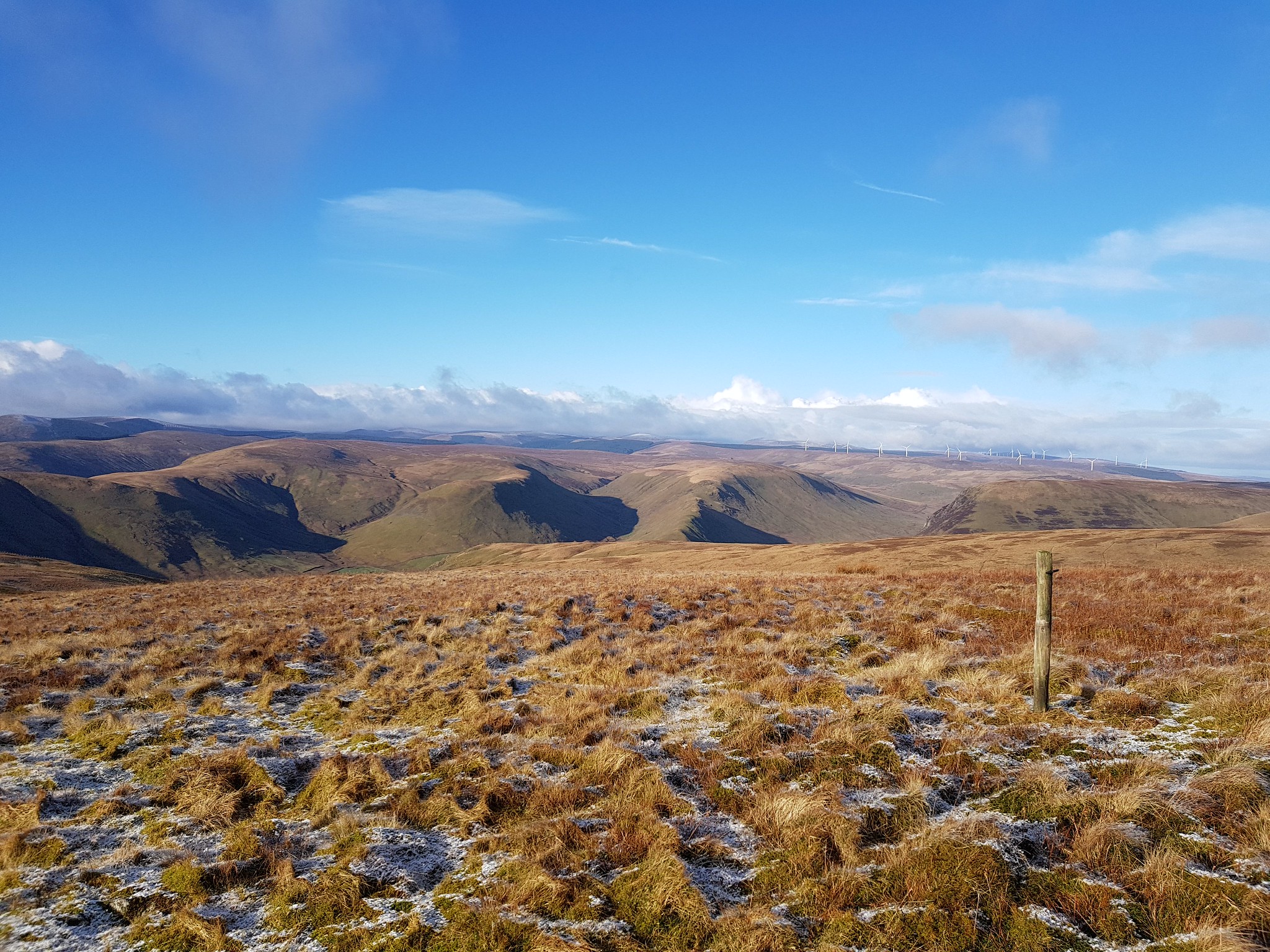
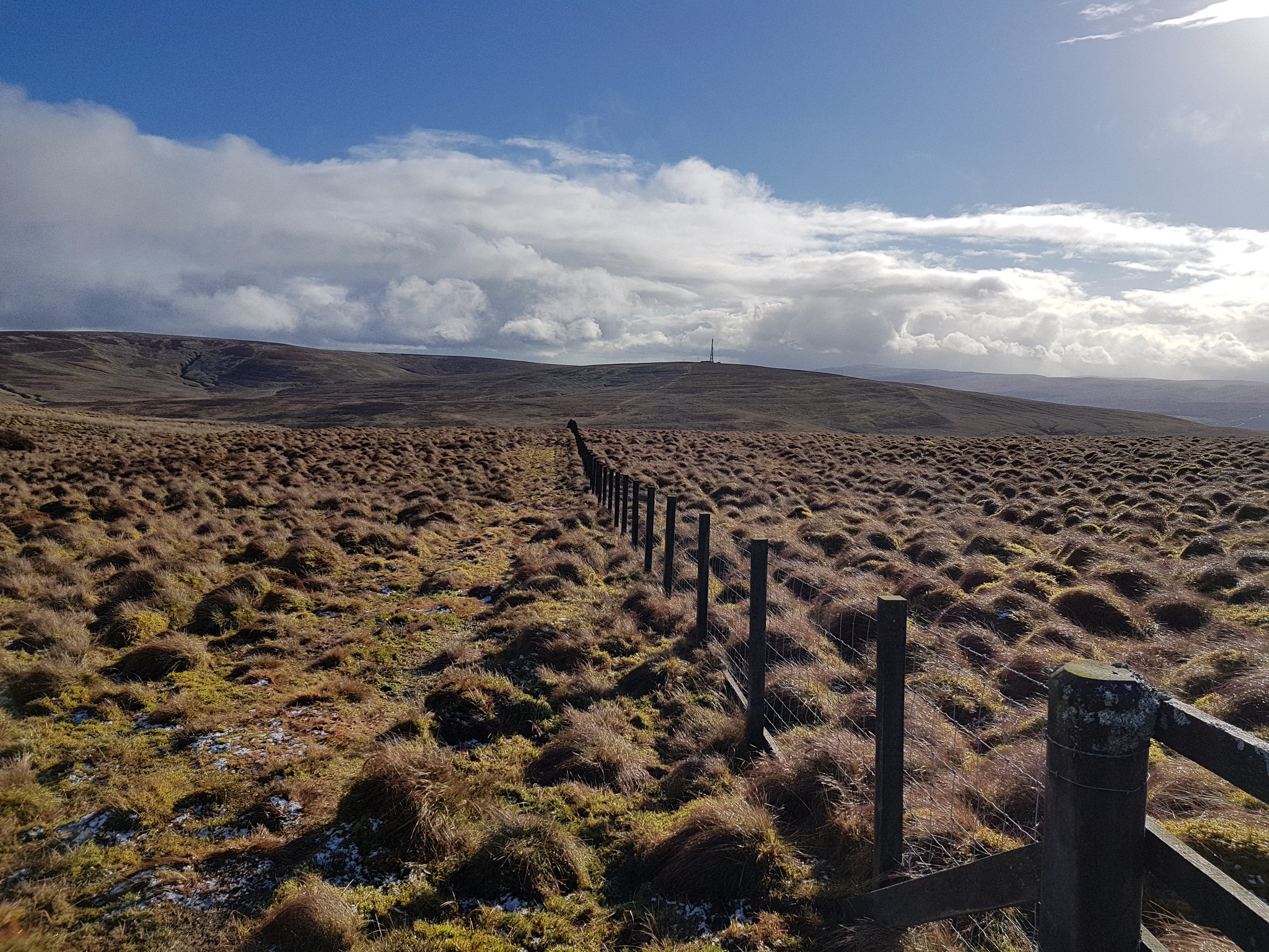
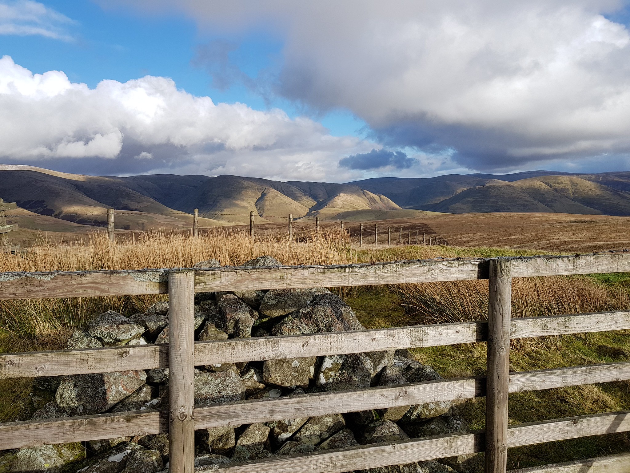
Looking across to the Lowthers, wind farm in the distance
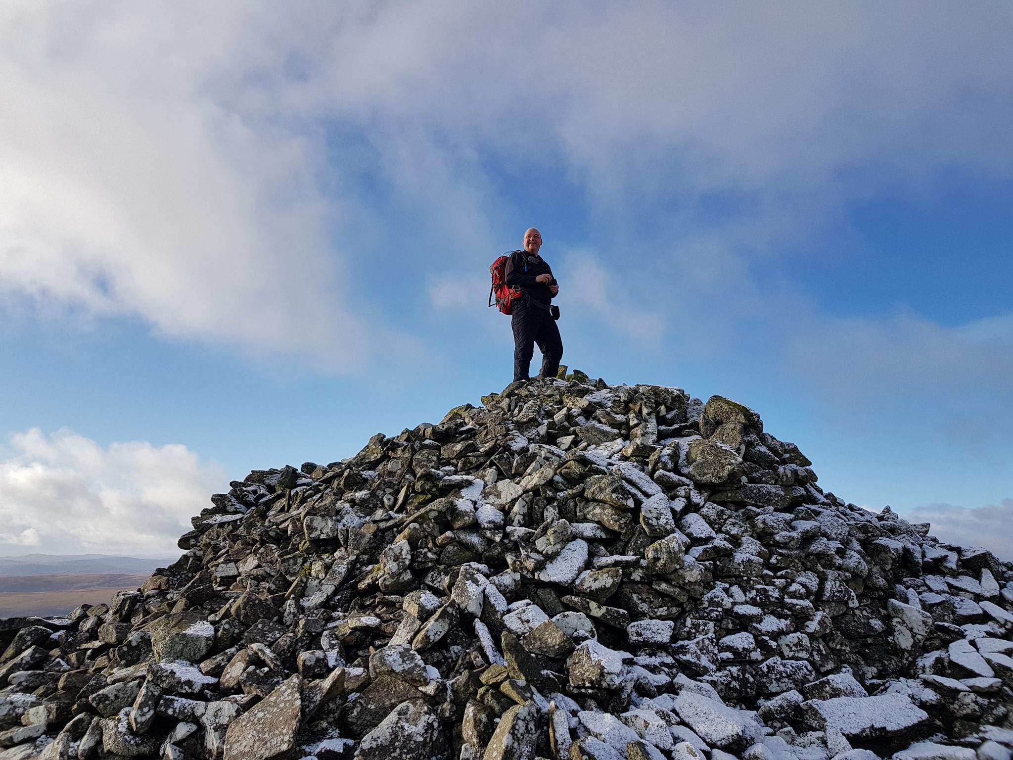
No wonder there were no rocks near the summit
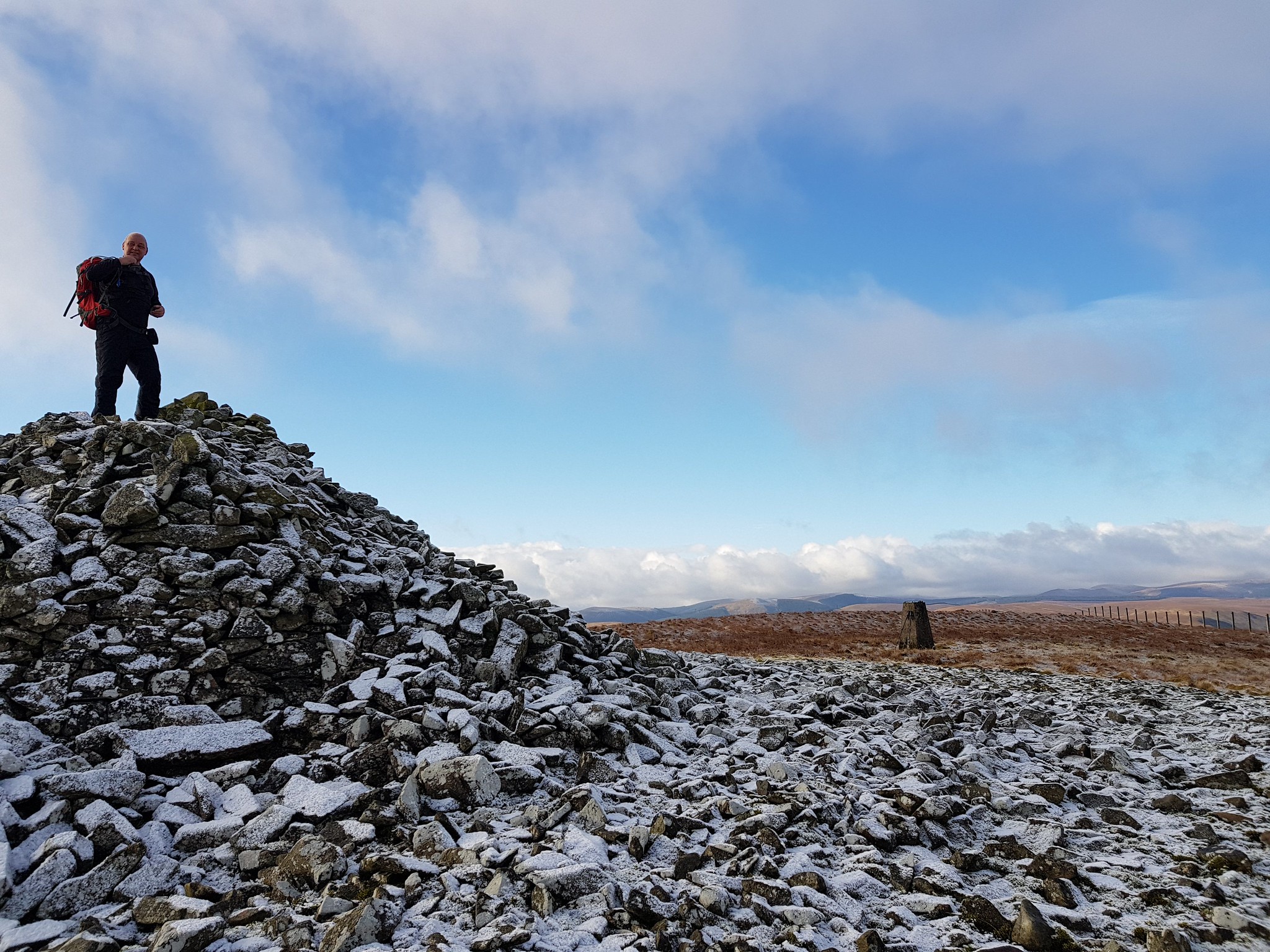
Trig in the background
After the initial 300m or so of continuous ascent the terrain levels out a bit and then a gentle ascent before the summit is reached. The cairn can be seen quite a distance a way - for obvious reasons and naturally we both had to climb to the true summit!

Descending now and George's car is somewhere down there
I was expecting the descent to be harder than the going up, as steep wet grass is a recipe to end up on one's rear end. We picked our way down gingerly and managed to stay upright until we reached the debris where the trees had been felled.
George took a wee tumble, having slipped on a bit of wood

Struggled to get up for laughing
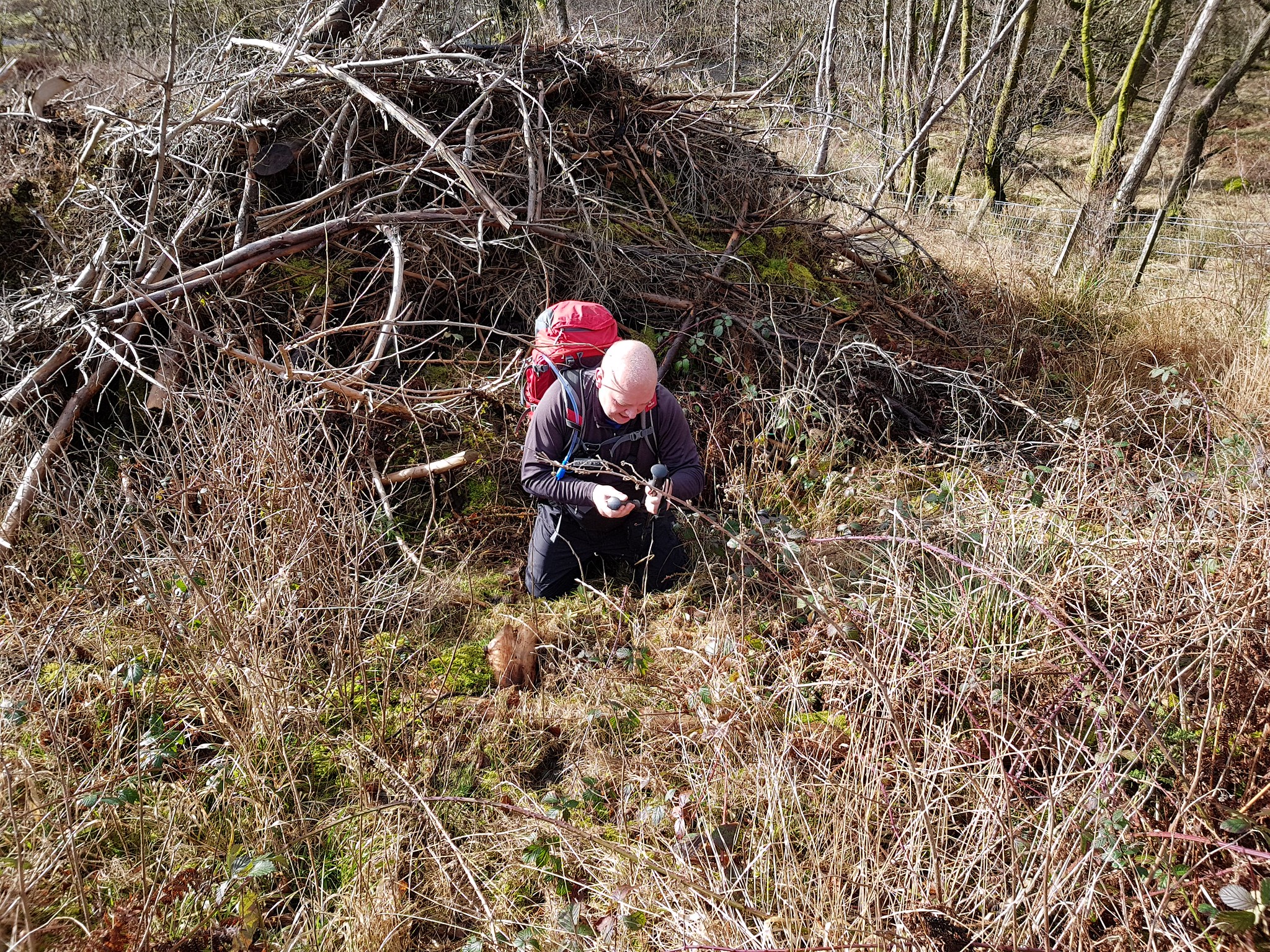

The offending bit of wood
Cairnkinna Hill was a cracking hill and after the initial struggle we thoroughly enjoyed it.
Kirkland Hill
Distance: 3.1km
Ascent: 135m
Time: 40mins
The plan was to tackle Cairn Hill next so it was a short drive along more single track roads and then onto the A76. The route I had loaded onto my phone was tackling Cairn Hill from the south, we had a drive along the 76 and as inca described parking places are in very short supply - in other words none. So a study of the map and I asked George if he fancied tackling Kirkland first and then Cairn Hill from the north.
We drove through Sanquhar and then left the main road and headed uphill to the start point, again parking spaces are in short supply but George managed to squeeze his car onto the grass at the start of the track.
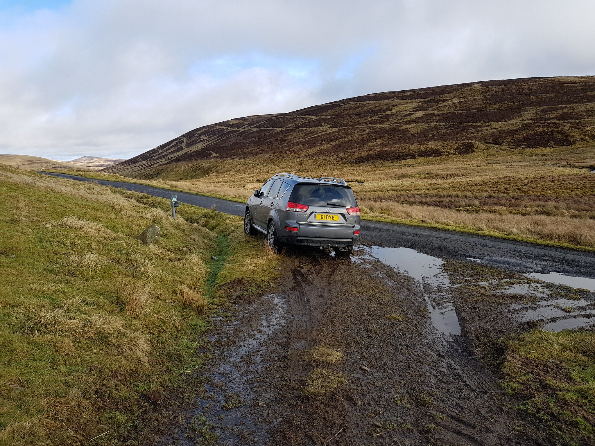
Beware of the ditch when parking
Spoiler alert - Kirkland Hill is very routine, very boggy, doesn't really offer great views and has very little to justify another visit. The fact that I only took about a dozen photo's says something and the only ones worth posting are from the summit.
Looking back down on the road up to the start
Not ideal walking terrain, looking across to Todholes Hill

Summit trig looking south
That was Kirkland Hill, next Cairn Hill.
Cairn Hill
Distance: 7.2km
Ascent: 405m
Time: 1hr 50mins
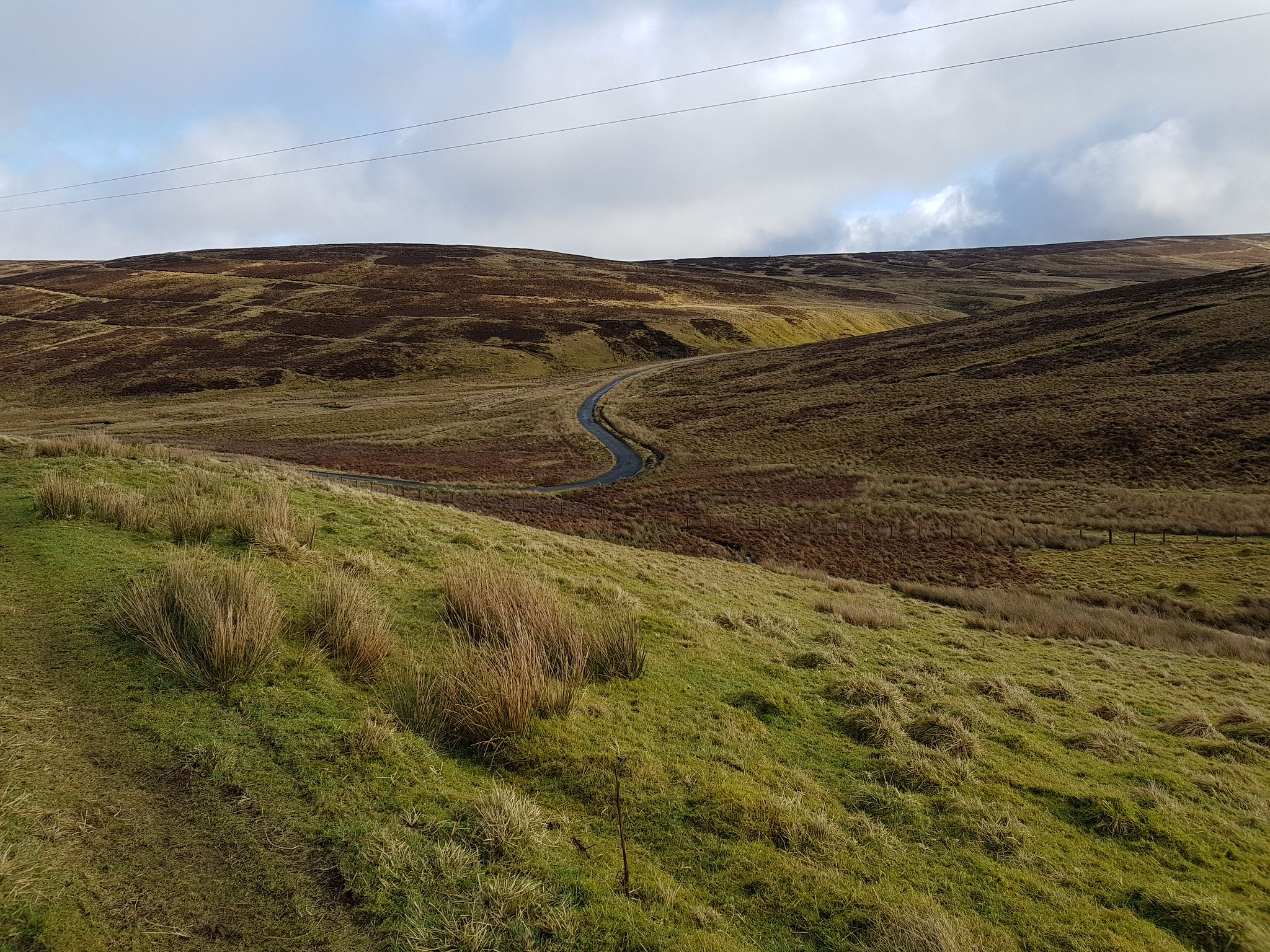
After a short drive we parked on the B class road that heads up to Wanlockhead. I didn't have this start point on my phone and as I was navigating using the OS map we stopped at what looked like an obvious track heading west. We confirmed where I thought we were by getting a grid reference off George's GPS and my navigating worked a treat (for a change).

Looking back at the start, we parked on grass to the right of the house
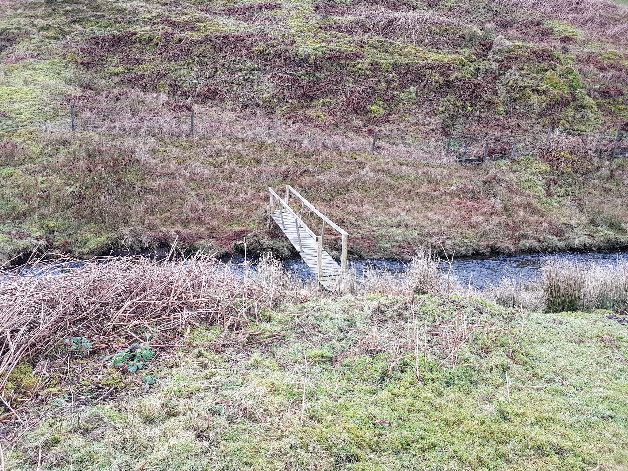
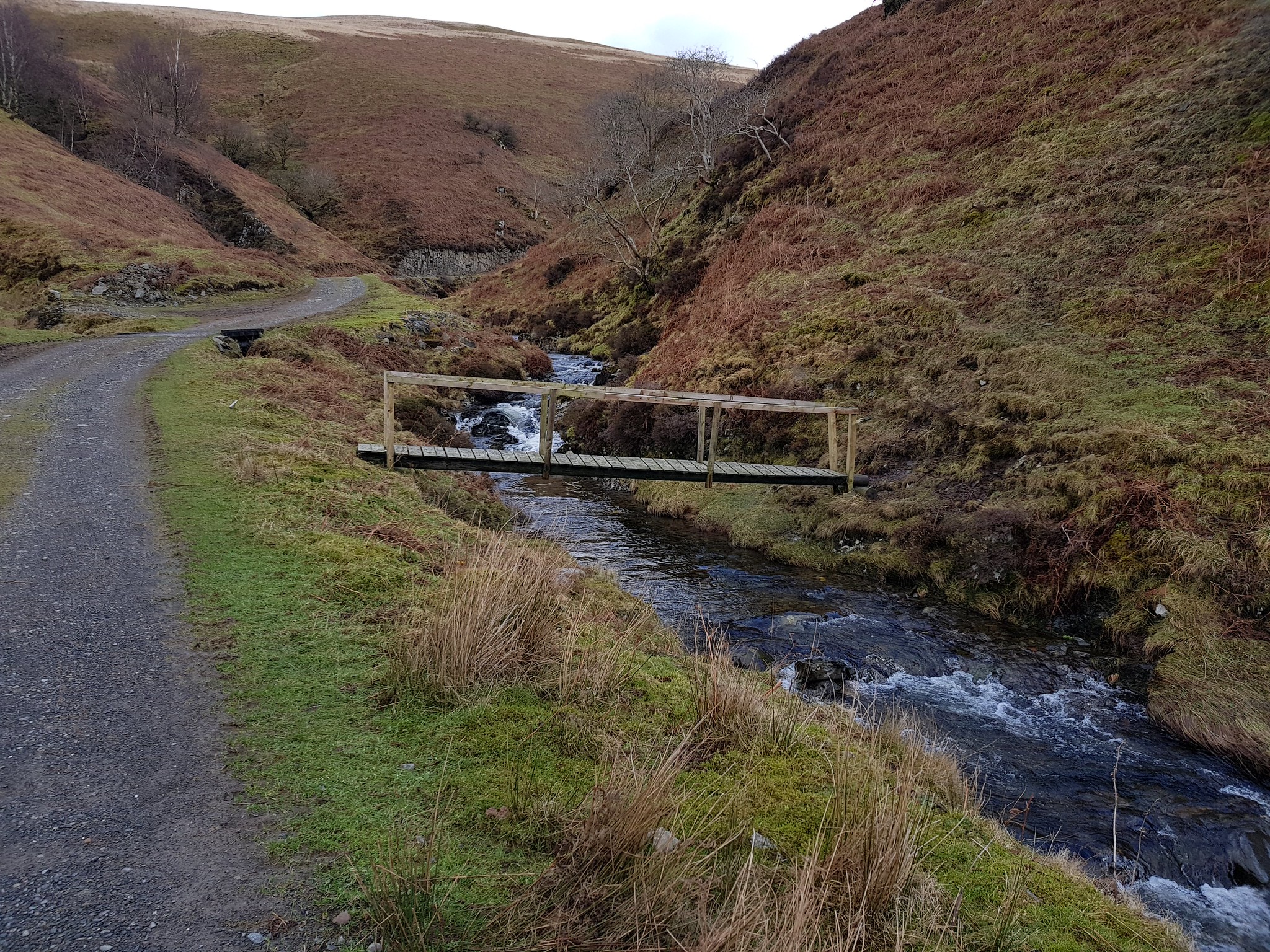
The track was a nice surprise after the trudge over the boggy moorland on Kirkland Hill. The track meandered gradually uphill following Glenimshaw Burn. One thing that amused us, well me at least, was the number of bridges across the burn - we counted 4 bridges and 2 planks of wood. This seems to be a common theme in the Borders, maybe landowners have a fear of burns - it does seem surprising that in the Highlands bridges are on the rare side and us poor walkers are expected to pick our way across raging torrents.
First bridge for those who are interested
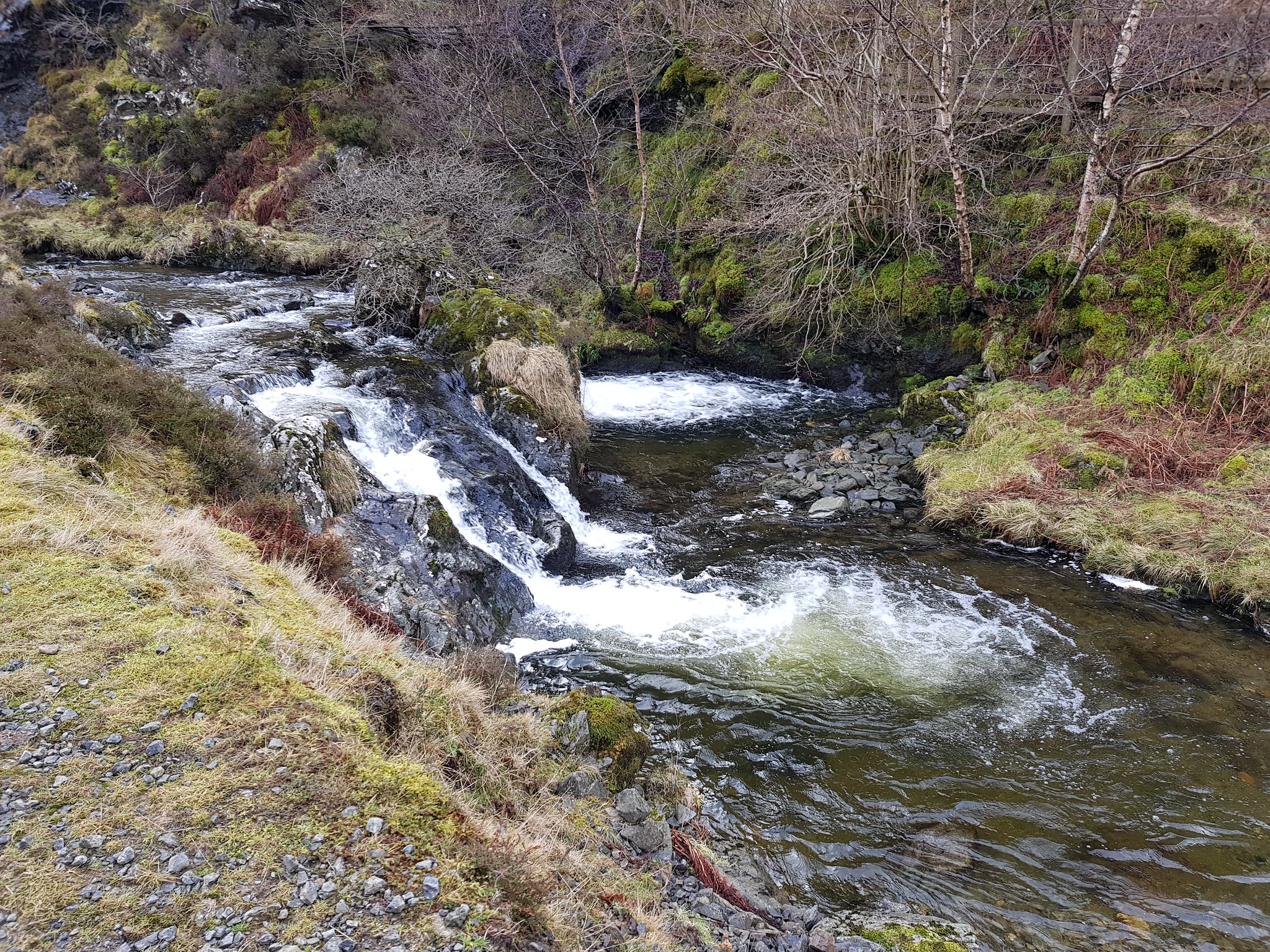
Water feature - raging torrent
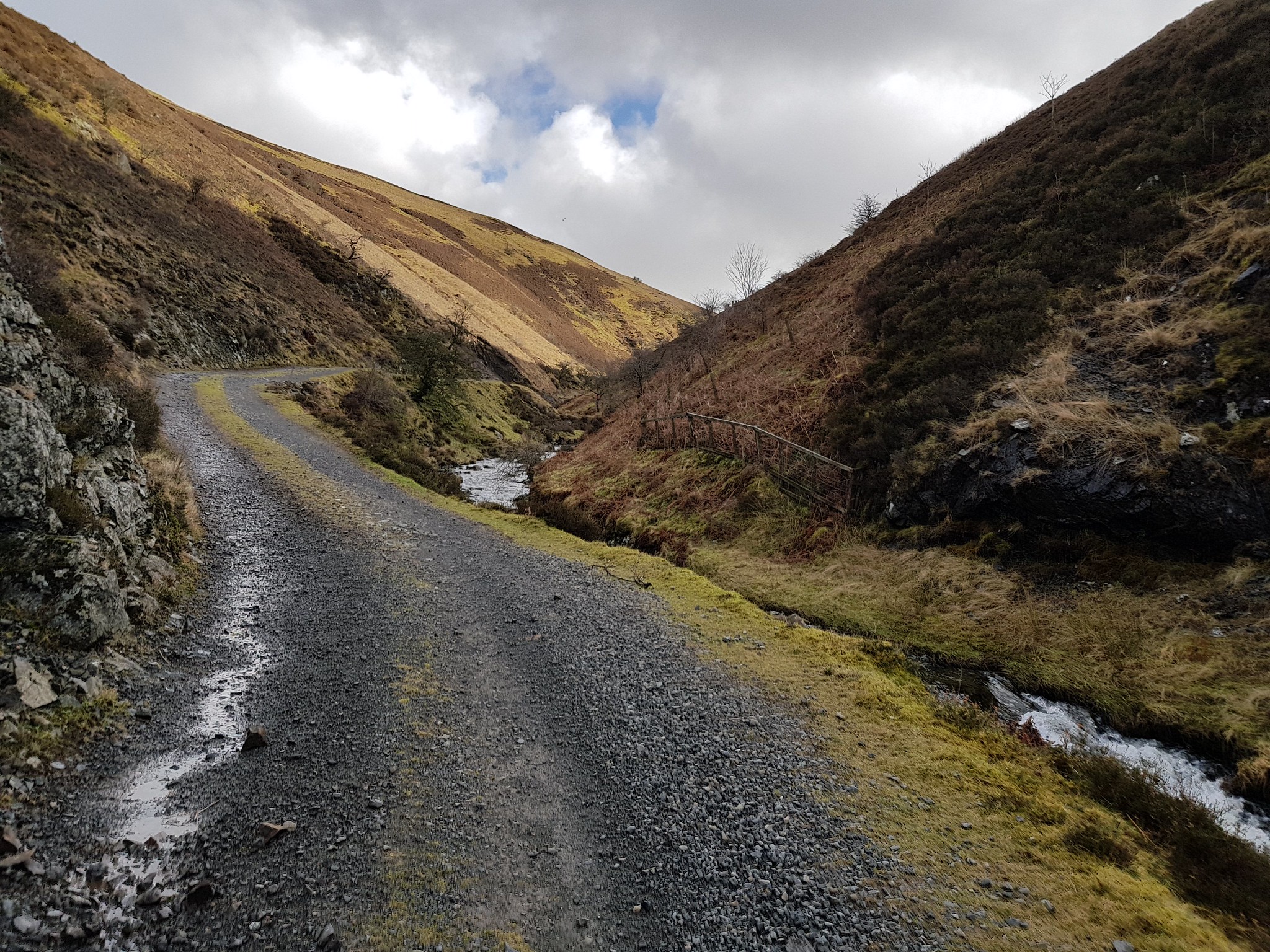
The way ahead
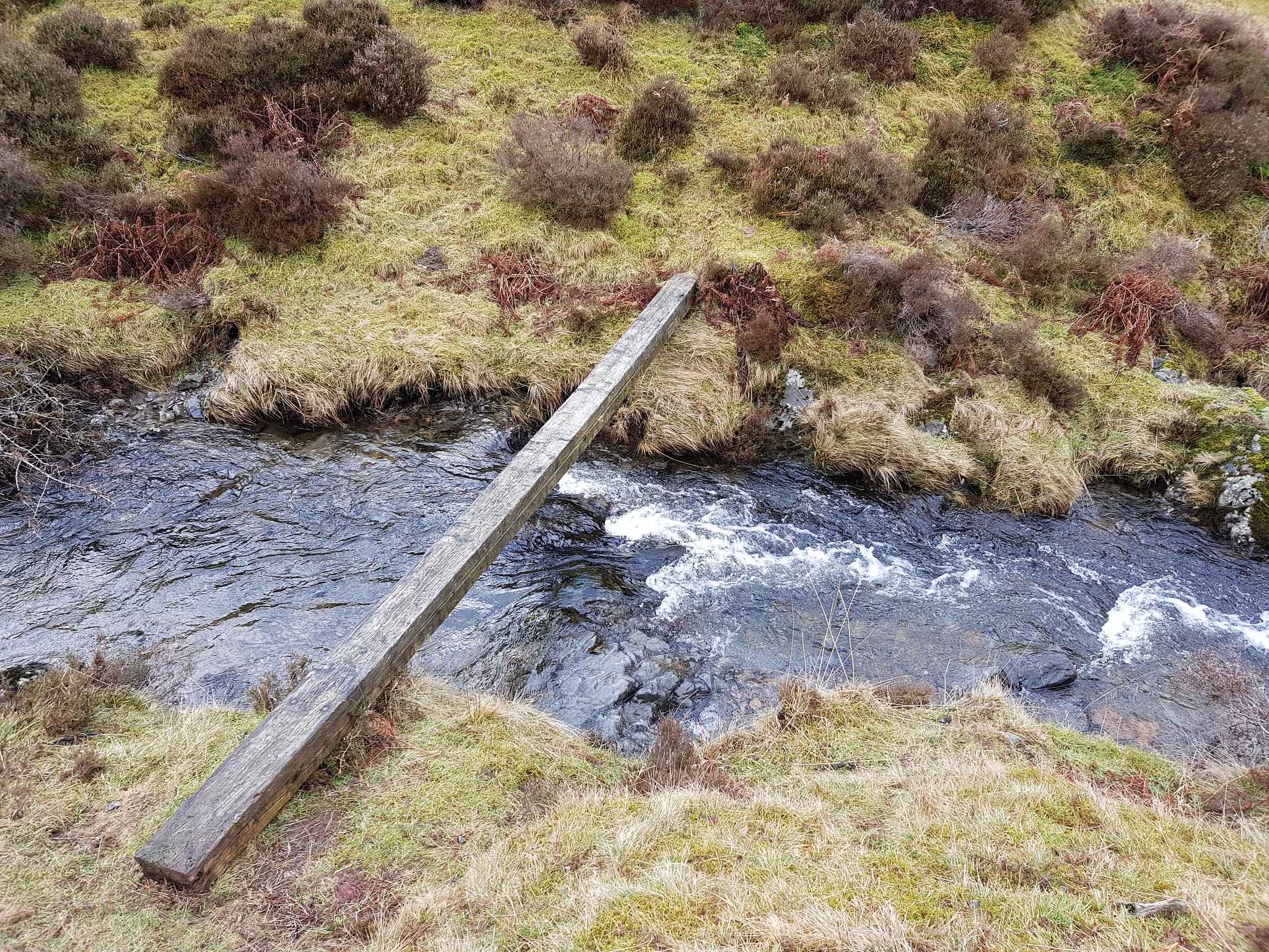
First plank and to think we actually discussed - half heartedly crossing the burn on that, had the other side not been rather steep, who knows
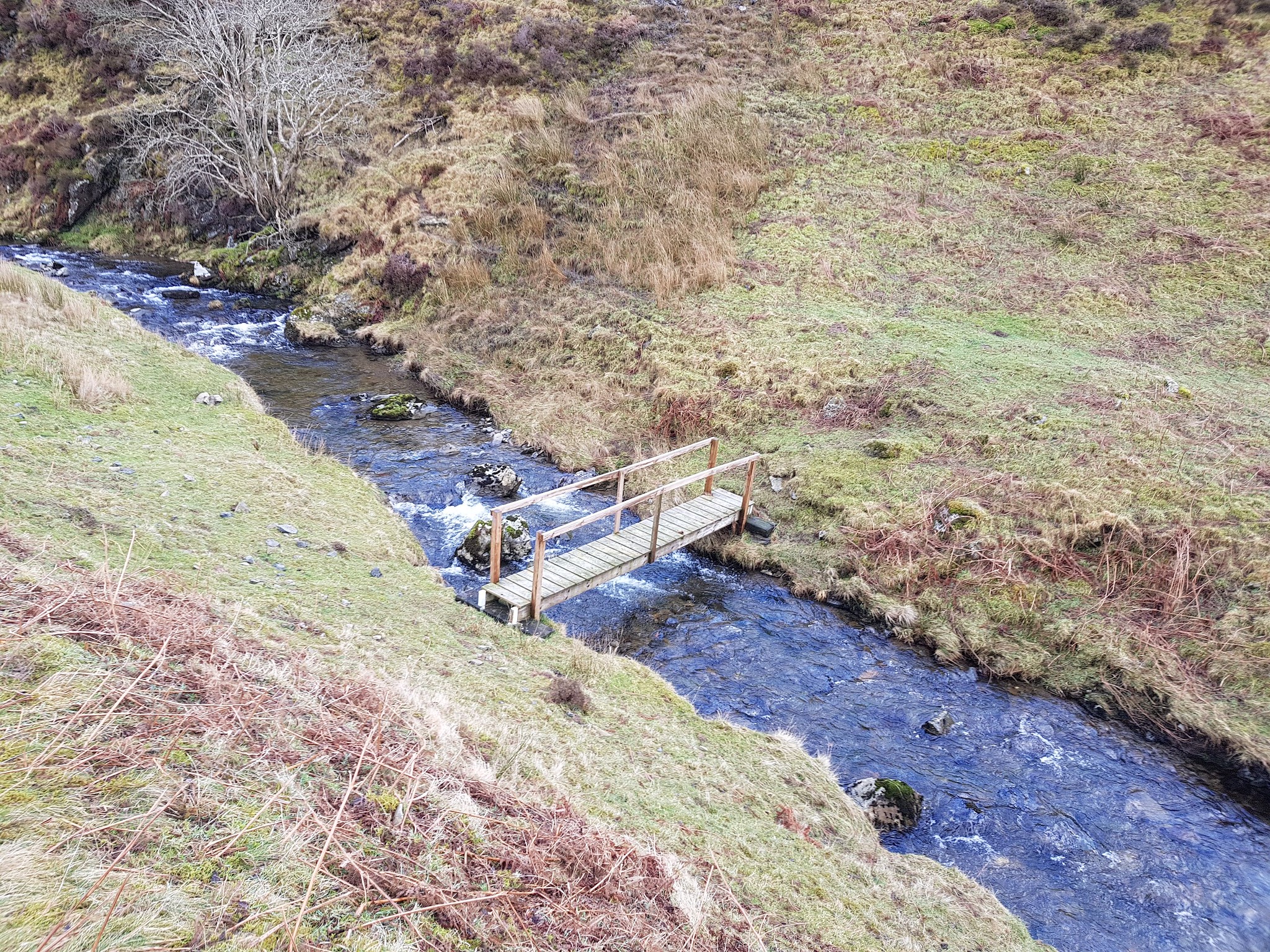
Next bridge
Next bridge, not sure why you would want to cross
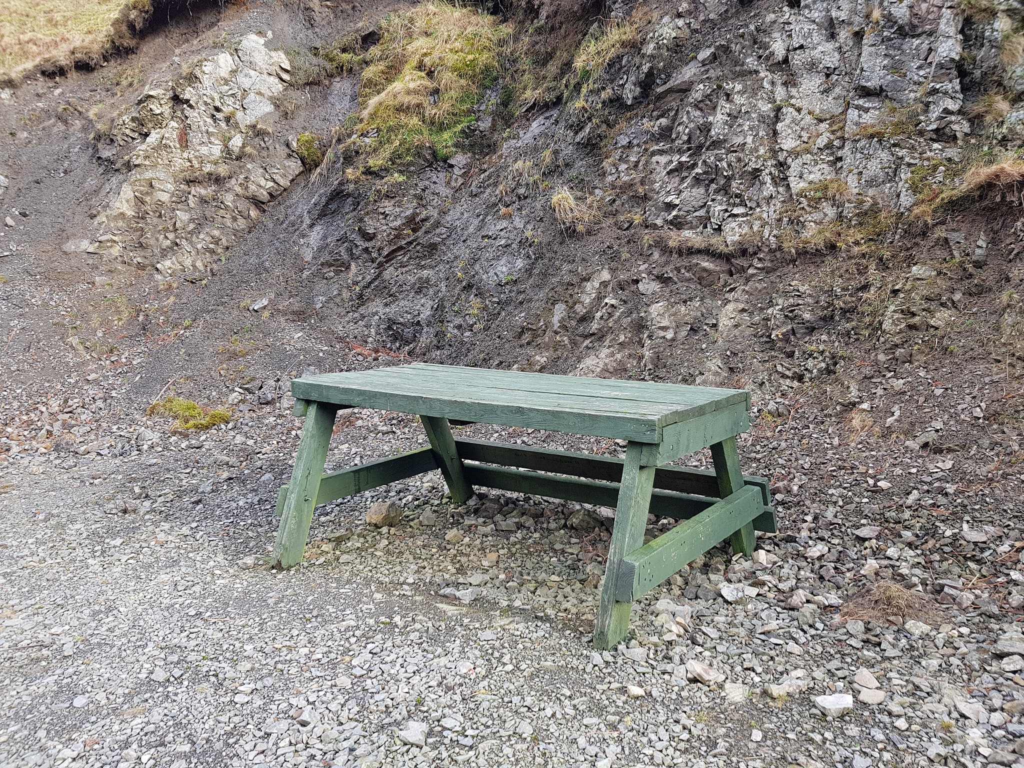
Random, who would want a picnic with a seat?

One of those traps on a plank
After about 2km we reached a gated area and the track headed north, this is where we opted to head off piste. This involved crossing 2 burns, George just waded through whereas I stone hopped. We were now heading up a steepish grassy slope and as I had the summit on my phone I could see we were heading in the right direction. The ascent was fairly easy compared to Cairnkinna, it was whilst we were ascending we discussed what was lying in wait for us on the summit - we were half expecting there to be no cairn, which would be rather amusing on 'Cairn Hill'.
Looking back down

Looking south from the summit area
Looking across to the Lowthers and they look quite impressive, the summit cairn is the wee pile of rocks in the foreground

Descending back down towards the burns
The burns that have to be negotiated
The walk back along the track was easy and next for us was planned to be Green Hill. We pulled up on the outskirts of Wanlockhead and parked near what looked like the old bowling green. There were a few spots of rain on the windscreen and I asked George if he really fancied getting wet? I could tell he was thinking like me that Green Hill could wait for another day, so we mutually agreed to head home - hence the 3 out of 4 ain't bad.
I did take a video on each summit but for some reason Flickr is misbehaving so you will have to use your imagination.
Turned out to be a very enjoyable day and a huge thanks to George for driving.
