free to be able to rate and comment on reports (as well as access 1:25000 mapping).
Catching up on a couple of recent walk reports, this one being of two Angus sub 2000s. The once challenging Crock and its neighbour Hare Cairn.
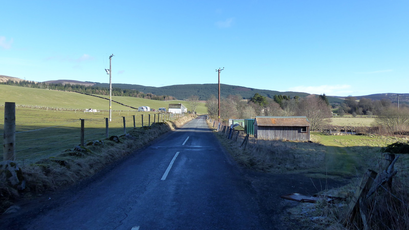
I chose to start from Kirkton of Glenisla Community Centre car park at the west end of the settlement. I had hoped to avail myself of their conveniences, but possibly as a result of the time of year the doors were firmly locked. Seems I was going to have to hang on until I found a bush.
 P1060736
 by
Pete Riedel, on Flickr
The starting point for the walk
From the car park it was a short walk back down the road, to where the Cateran Trail headed off toward East Mill Farm.
 P1060739
 by
Pete Riedel, on Flickr
The short walk back along the road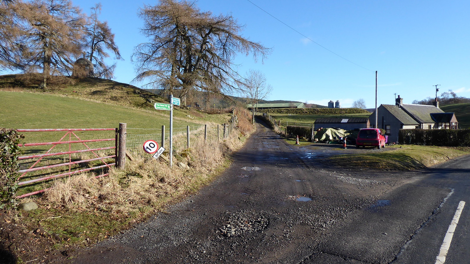 P1060740
 by
Pete Riedel, on Flickr
Turn off to the FarmJust before the farm the Trail takes a sharp left, heading pleasantly along a good track toward Loch Shandra.
Views to my first target of the day, Crock, were looking pretty good and I ambled along the track. I appreciate that previously this hill had presented a significant challenge to those brave souls attempting to locate its summit. Today, much like the writer, its bonce has lost its covering and is exposed to the elements……
 P1060750
 by
Pete Riedel, on Flickr
View to Crock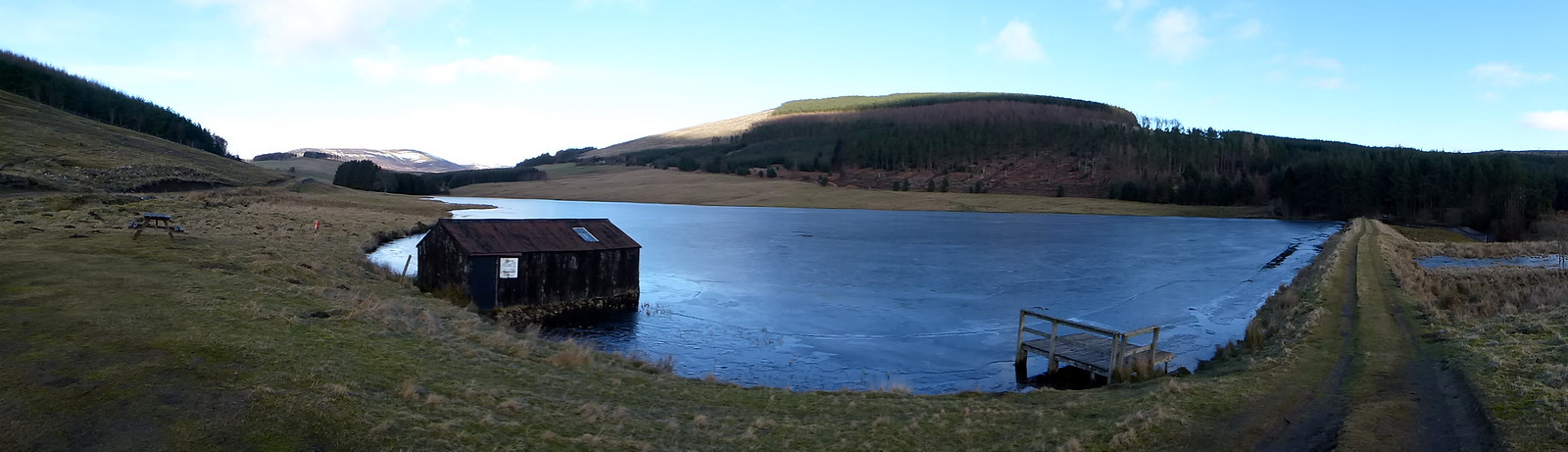 P1060759
 by
Pete Riedel, on Flickr
Loch Shanda, with causewayLoch Shandra looks a cracking spot, with the track heading across the small dam and over the outlet in to the burn. A quick couple of gates and I was on what I assume is the main forestry track. Headed left toward Tulloch.
 P1060763
 by
Pete Riedel, on Flickr
The next bit of the route ahead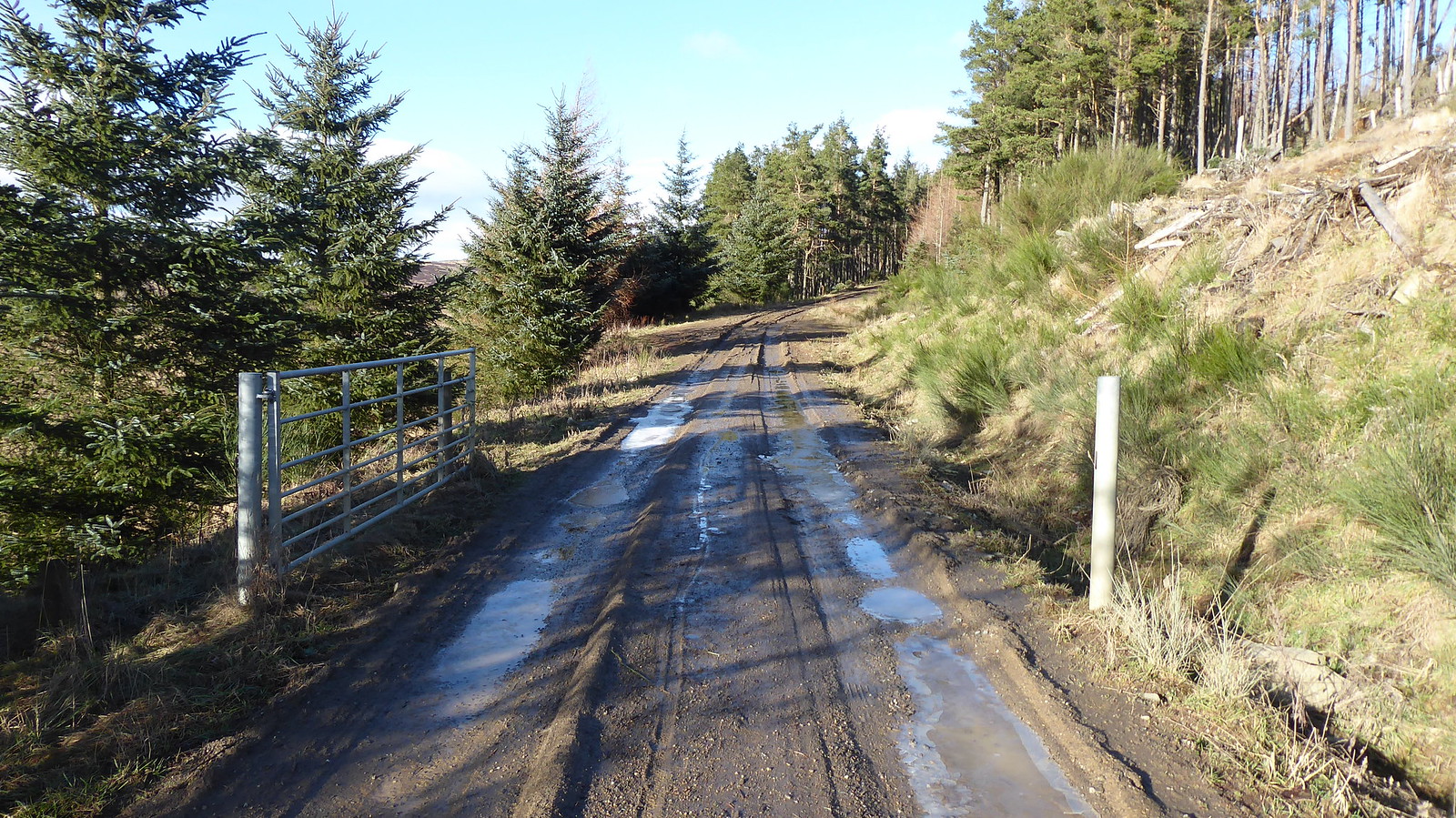 P1060770
 by
Pete Riedel, on Flickr
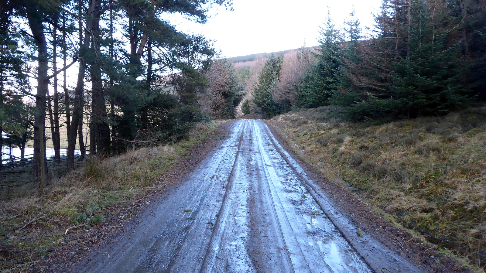
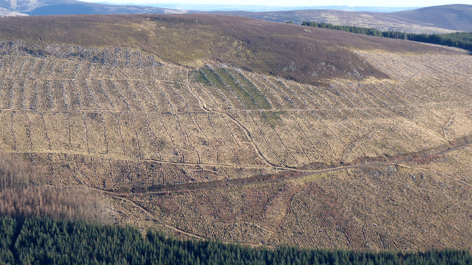
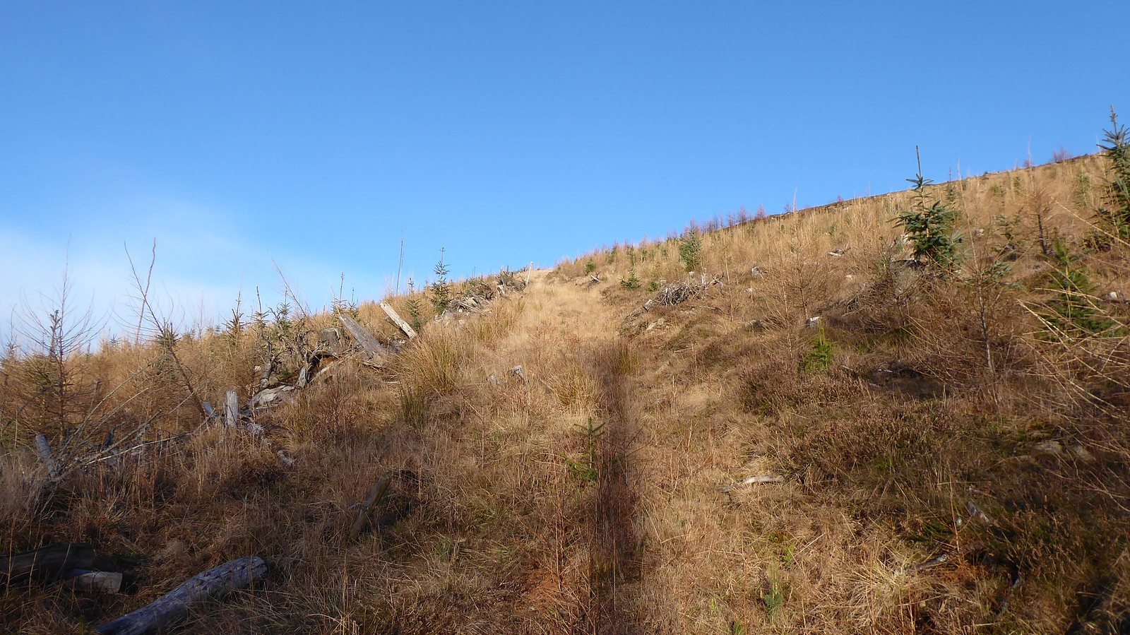
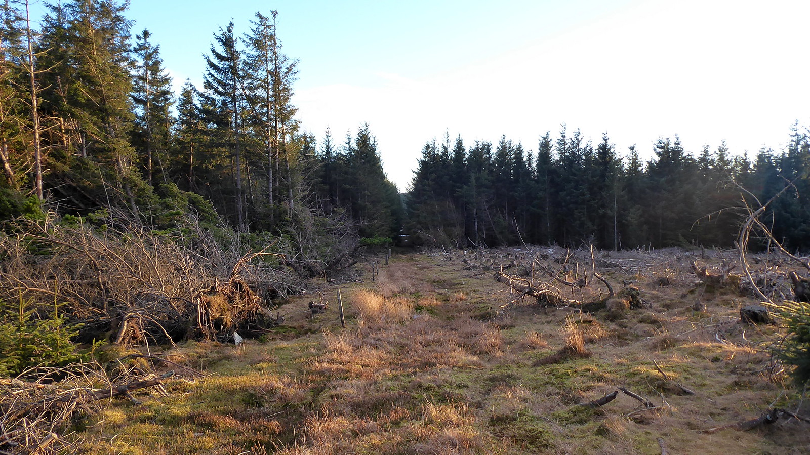
Just around the Tulloch pointI’d plotted a route that headed up on to the open hill at just about this point, a little past Tulloch itself. To be honest I reckon you could head off up the hill at any point once clear of the trees that haven’t been chopped down yet. I’m not sure there is anything much to be gained trying to source any tracks that might head up the hill (if they even exist). If you do walk past the house you pass a gate across the track and a little further on and a track does double back off the main track to aid getting on to the hill. It saves absolutely no effort at all though, as almost immediately you need to gird loins and prepare yourself for the slog up through the aftermath of the tree felling anyway. Not sure why I mentioned it really……
 P1060772
 by
Pete Riedel, on Flickr
I was headed toward this lone trunk, to see what the view was like ahead from there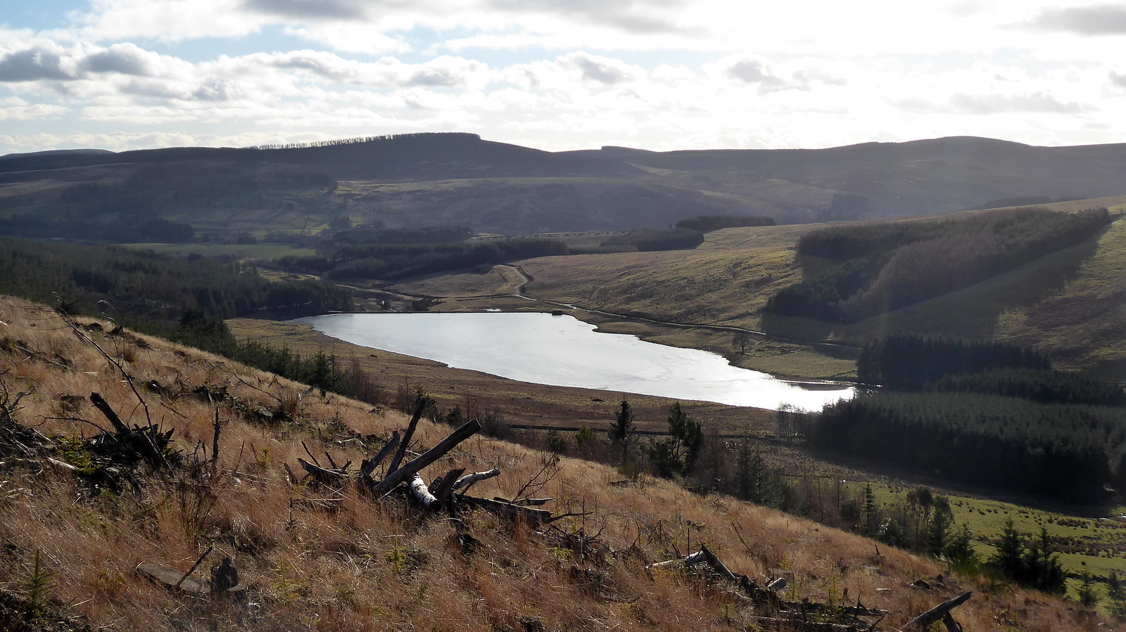 P1060775
 by
Pete Riedel, on Flickr
Nice views nehind though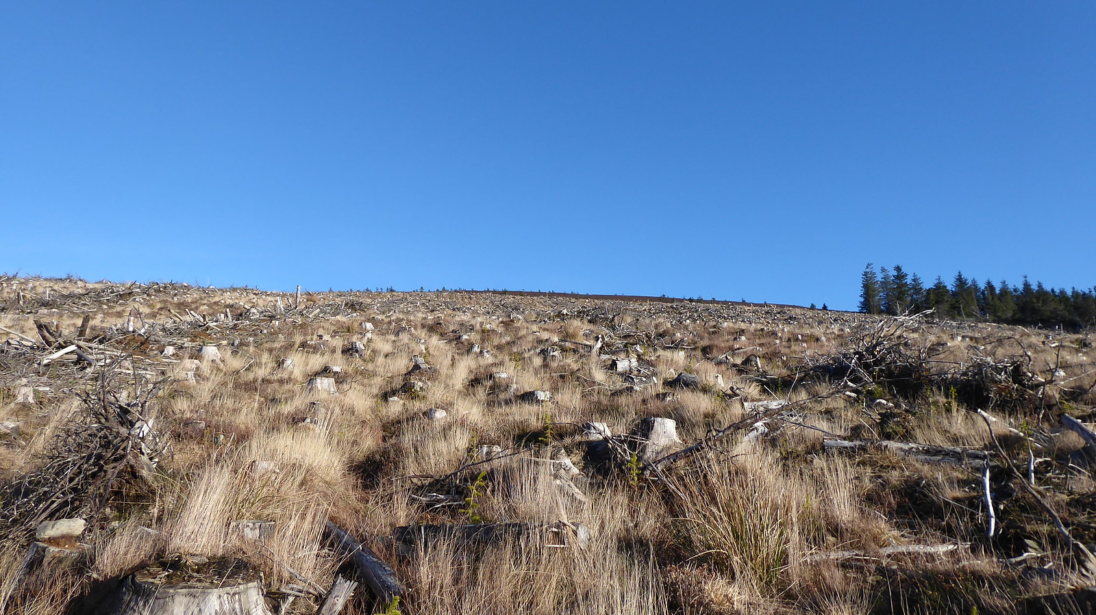 P1060779
 by
Pete Riedel, on Flickr
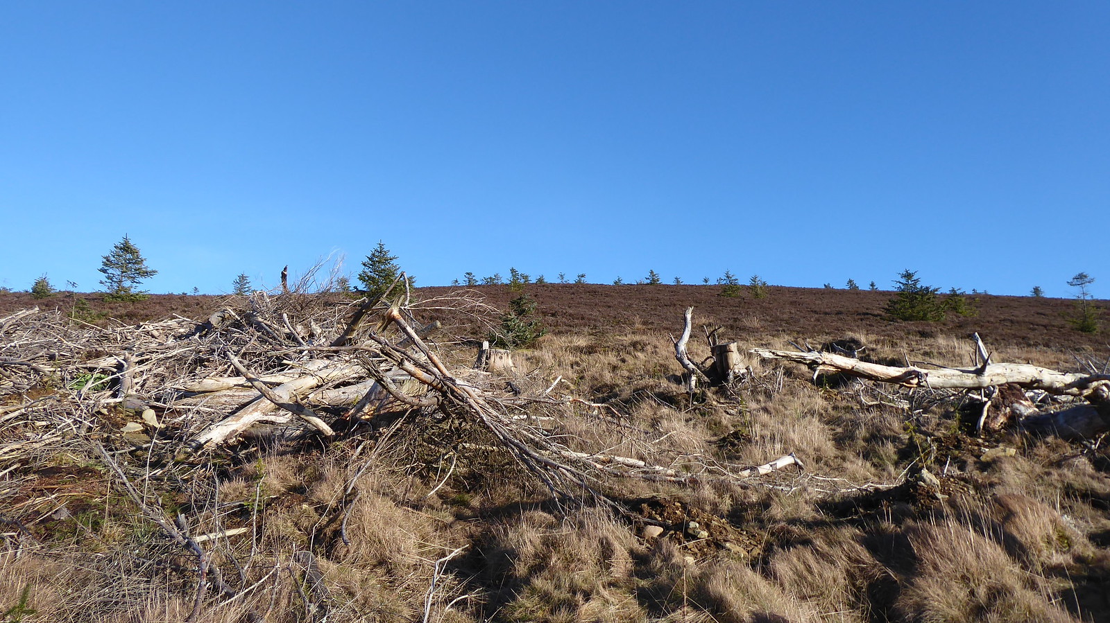
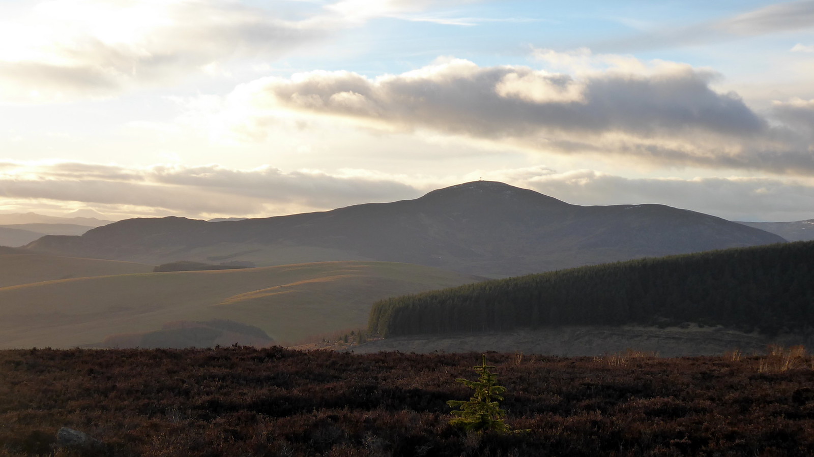
mmm, not the most appetisng terrainSome people may enjoy slogging up through these brashings. Personally I find it tedious, as well as potentially treacherous. I think I might actually prefer thrashing my way through the trees to be honest, rather than risking ankle breaks and slips picking my way through various branches, stumps and assorted holes that the tree fellers left. The only benefit on this occasion was the opportunity to look back at Loch Shandra opening up as height was gained. The Graham of Mount Blair was also looking good too.
 P1060780
 by
Pete Riedel, on Flickr
Mount BlairEventually I managed to drag myself to the top of the now felled tree line, where brashings and general nasty stuff was replaced by much easier heather. Thankfully the ground underneath was fairly even, so no hidden nasties to trip me up.
 P1060786
 by
Pete Riedel, on Flickr
Finally entering easier terrain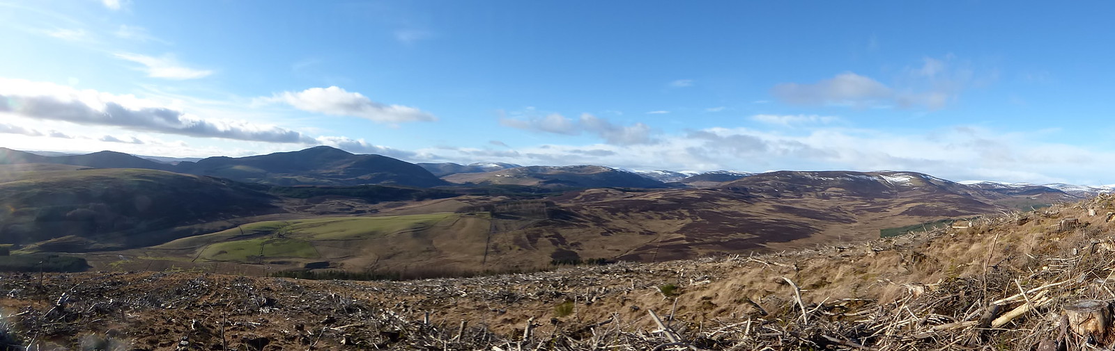 P1060787
 by
Pete Riedel, on Flickr
 P1060793
 by
Pete Riedel, on Flickr
 P1060797
 by
Pete Riedel, on Flickr
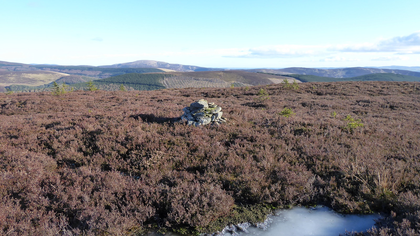
Summit cairn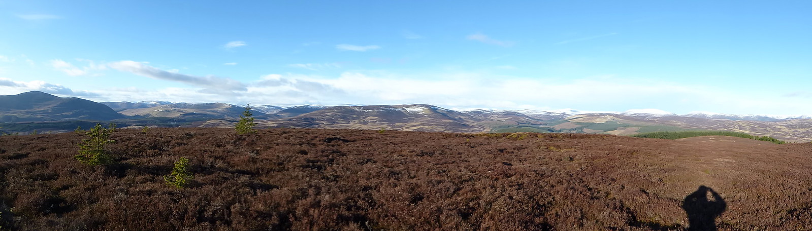 P1060800
 by
Pete Riedel, on Flickr
 P1060801
 by
Pete Riedel, on Flickr
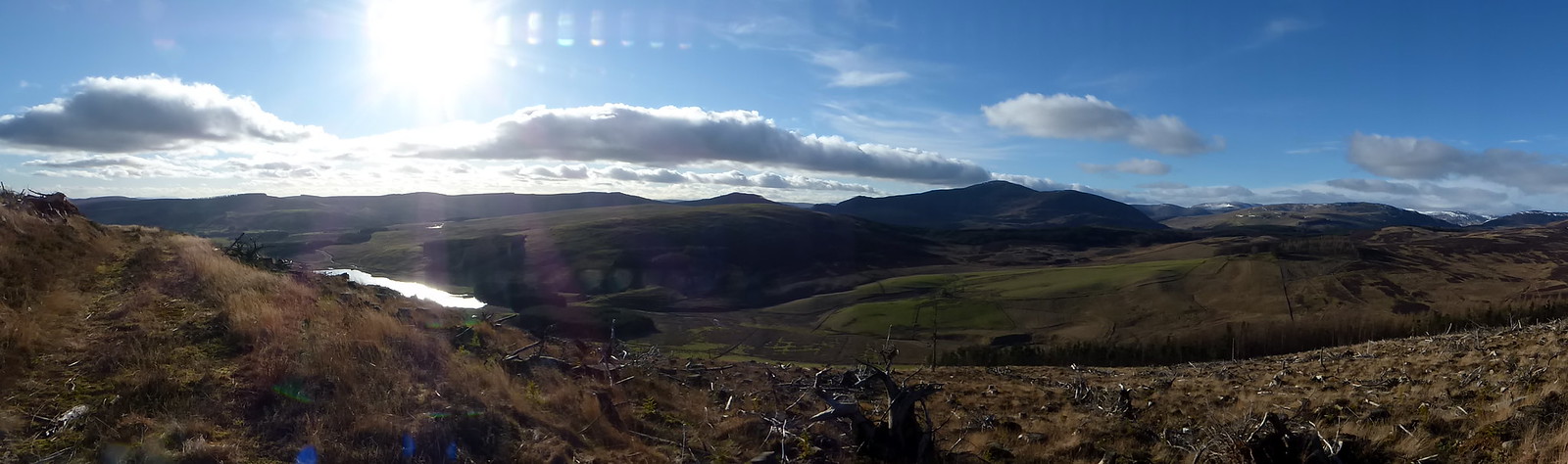
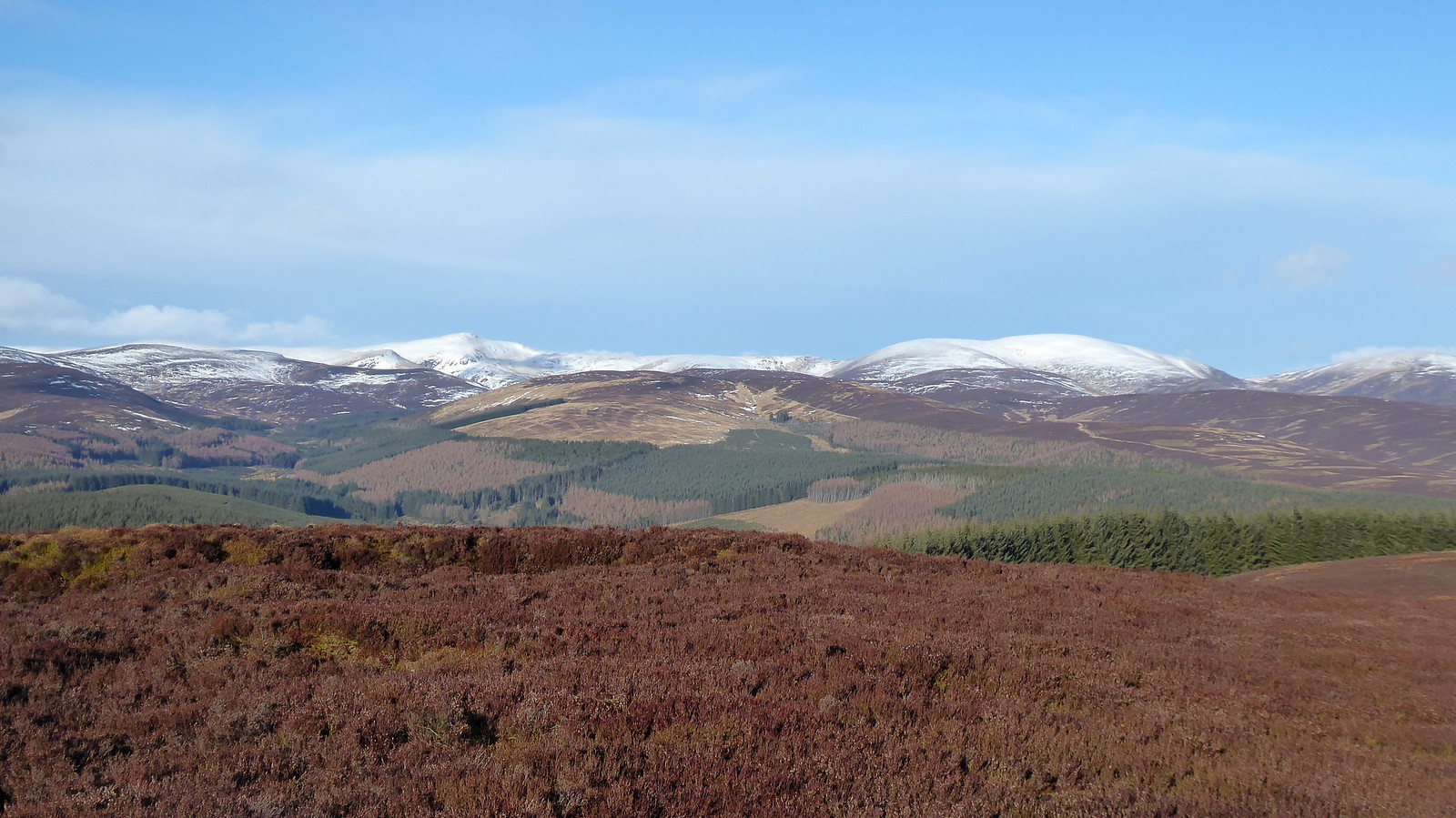
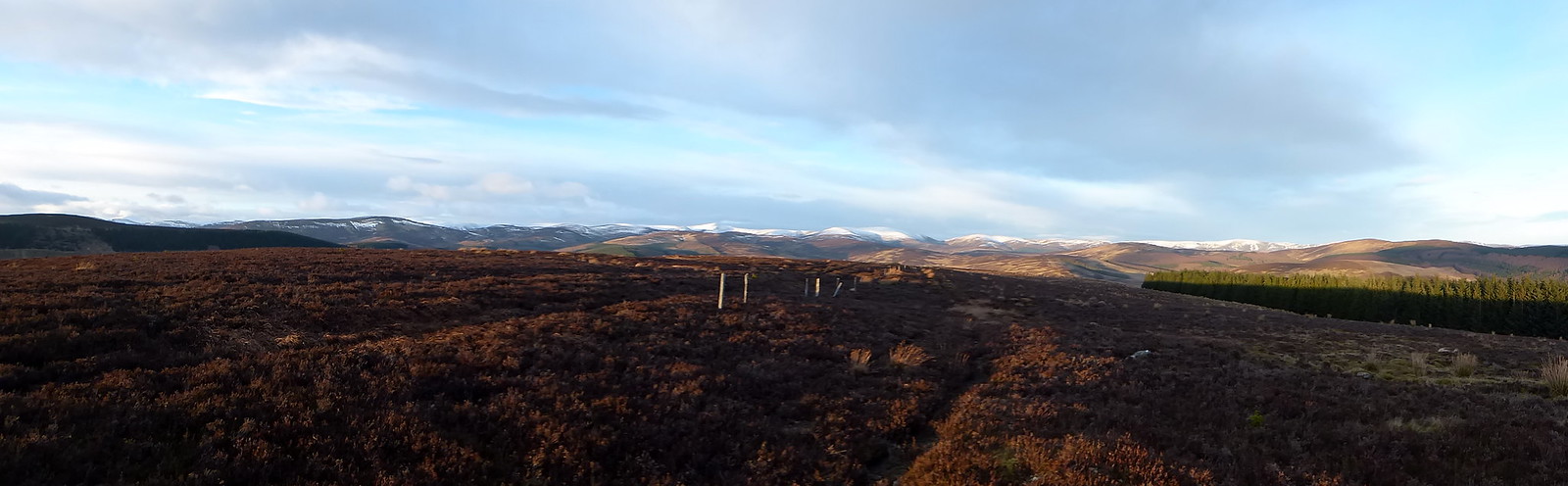
Not a bad summit, with a good view to my next target, Hare Cairn straight ahead, along with views of the three Grahams behind me of Mount Blair, Mealna Letter and Badandun Hill. The Munros of Mayar and Driesh to the north were also showing nicely too.
The view toward Hare Cairn proved to be very helpful. With all the tree felling that has taken place on that hill I could see several tracks to ease my way up through the post felling carnage. Took a few photos, to aid me once I was there.
 P1060805
 by
Pete Riedel, on Flickr
Useful info on Hare Cairn P1060806
 by
Pete Riedel, on Flickr
Panoramic view of Hare CairnFirst of all though I had to get myself off Crock.
What you don’t see from the summit is the post tree felling carnage that greets you once over the initial heathery descent. In truth it is only a short section of unpleasantness, before returning to much easier walking through new planting as the gradient eased. But oh, what a fun short section it was, it was, what a fun short section it was.
 P1060807
 by
Pete Riedel, on Flickr
Let the fun begin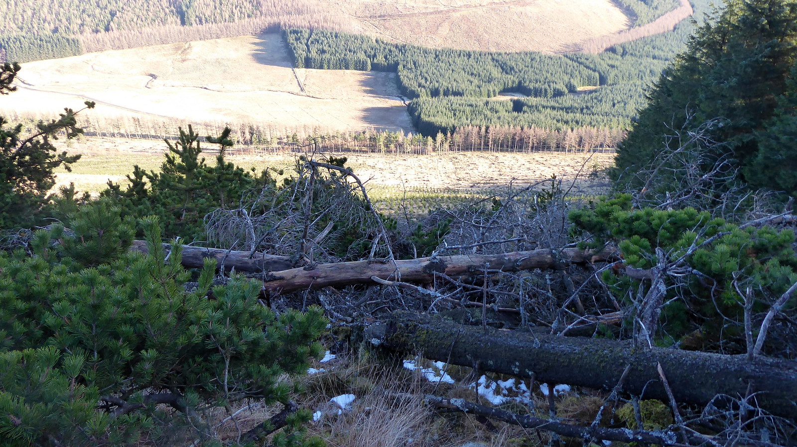 P1060809
 by
Pete Riedel, on Flickr
And then it got worse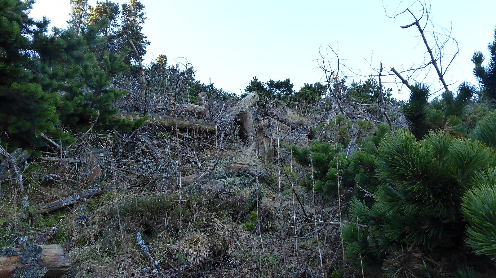 P1060811
 by
Pete Riedel, on Flickr
Looking back up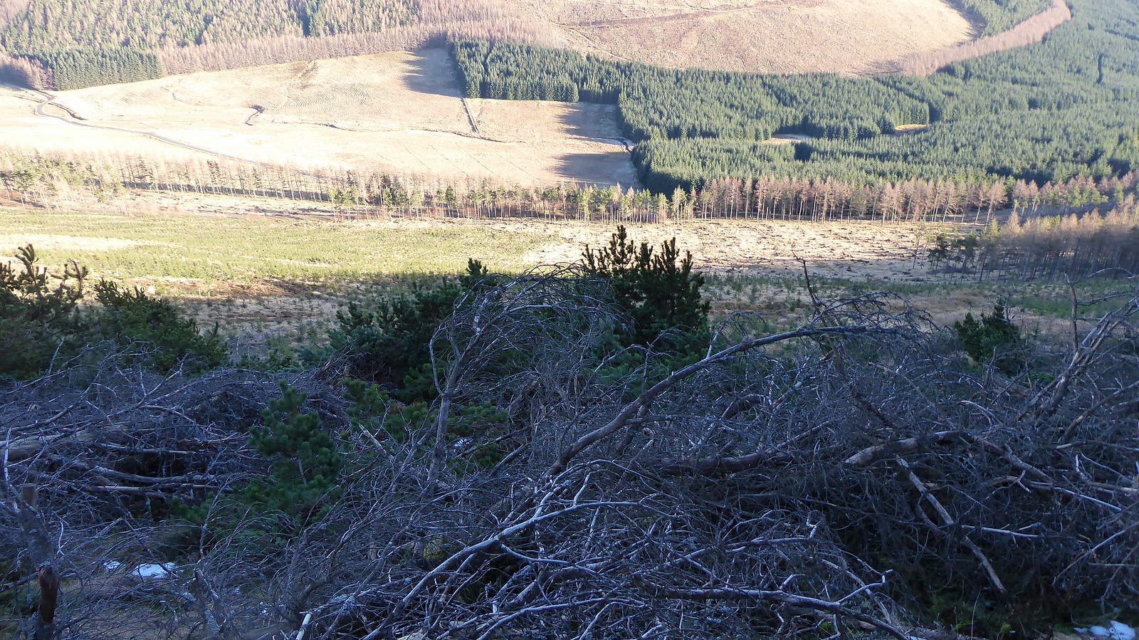 P1060813
 by
Pete Riedel, on Flickr
Still a bit more fun to go yet P1060818
 by
Pete Riedel, on Flickr
I’m sure I could have followed a better line, but once committed I simply decided to crack on with the route choice I’d taken. It basically consisted of a few steps to the left, stop and review the situation, then perhaps a shuffle down to the right, stop and survey the situation again, a bit more of a shimmy down to the right, stop again and check out the lie of the land, down to the left for a while, stop……..till eventually I was through it without any major incident.
The remainder of the descent was easy for the most part, although there were a few patches of where grass and moss camouflaged stumps and branches tried to catch me out.
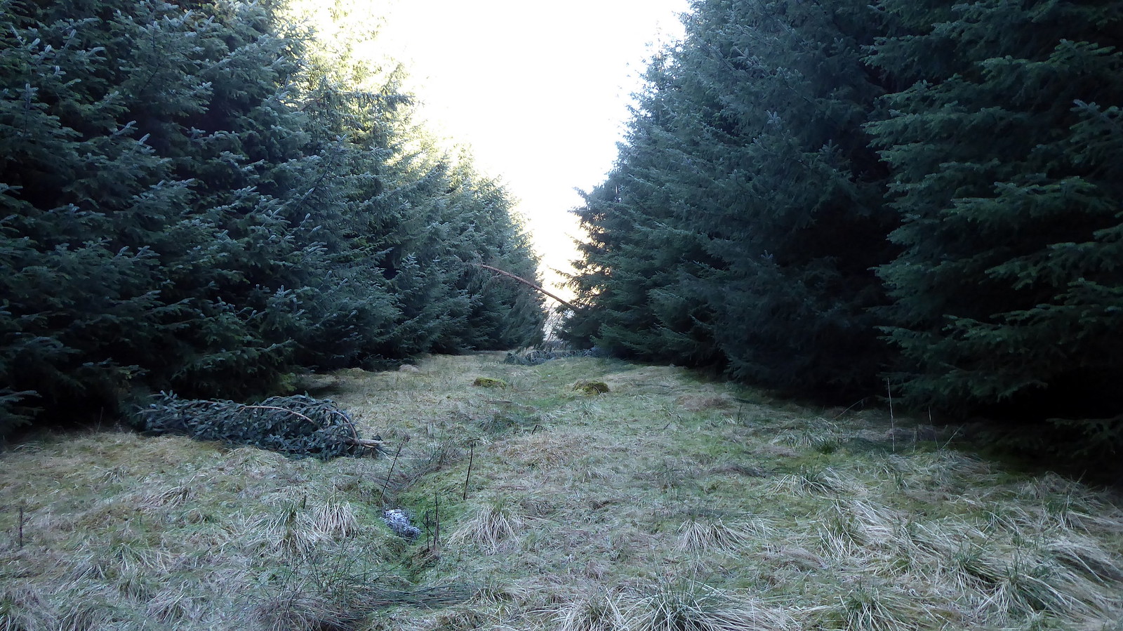
I was aiming for the edge of the forestry that was almost immediately in line with the hills summit. There’s an obvious clearing through the trees, where the Newton Burn meanders. My planned route would take me through this clearing, across the burn and then up through an obvious firebreak. As the footbridge marked on the OS map has long gone I’d have to ford the Newton Burn once I’d scaled the deer fence that bordered the forestry. The deer fence turned out to be easier than expected, given it had collapsed in one section. The Burn was less straightforward though, as it looked deeper than I’d expected and had a decent flow to it……………I got wet feet.
 P1060824
 by
Pete Riedel, on Flickr
En route to Hare Cairn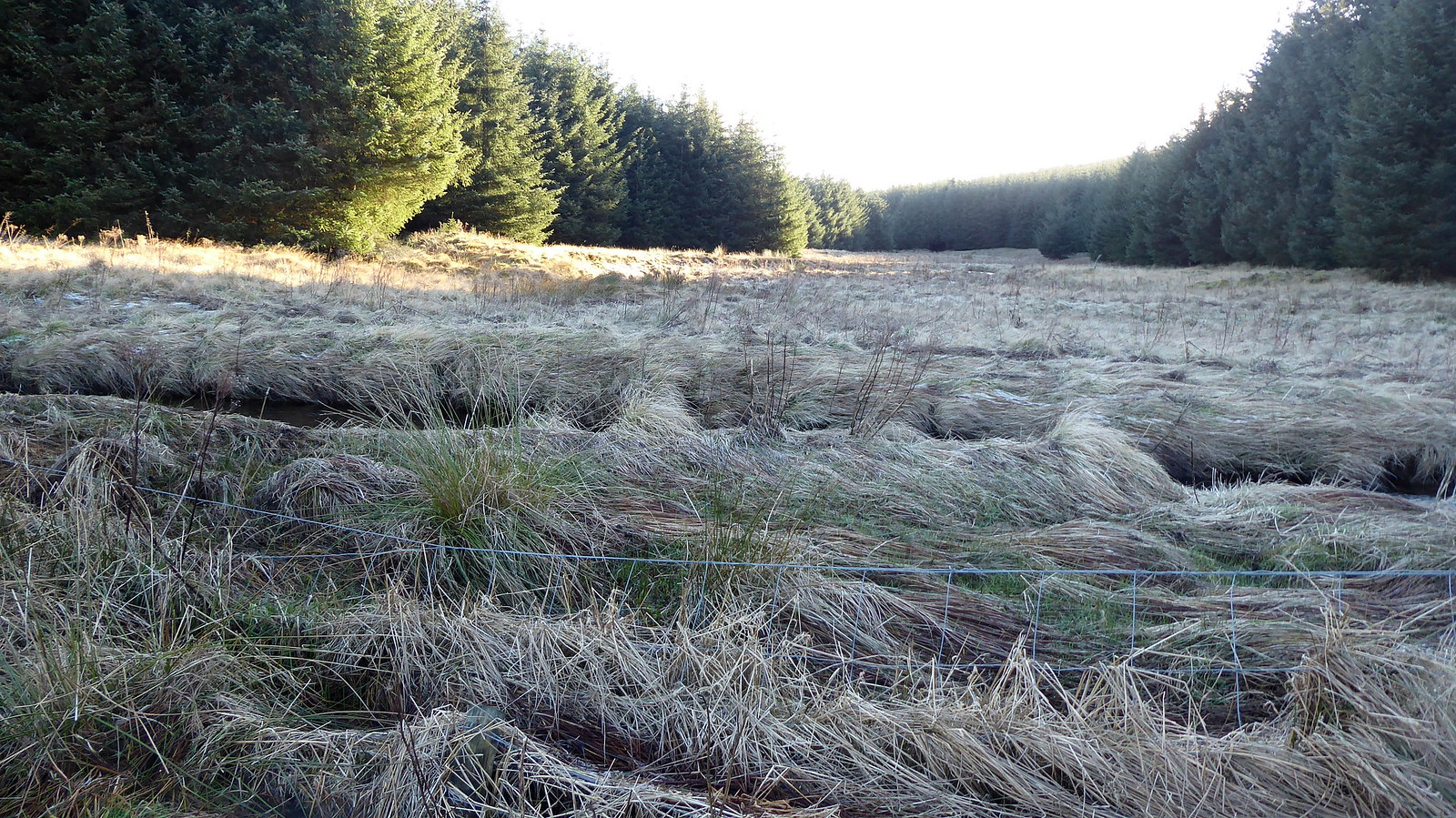 P1060827
 by
Pete Riedel, on Flickr
Fence crossing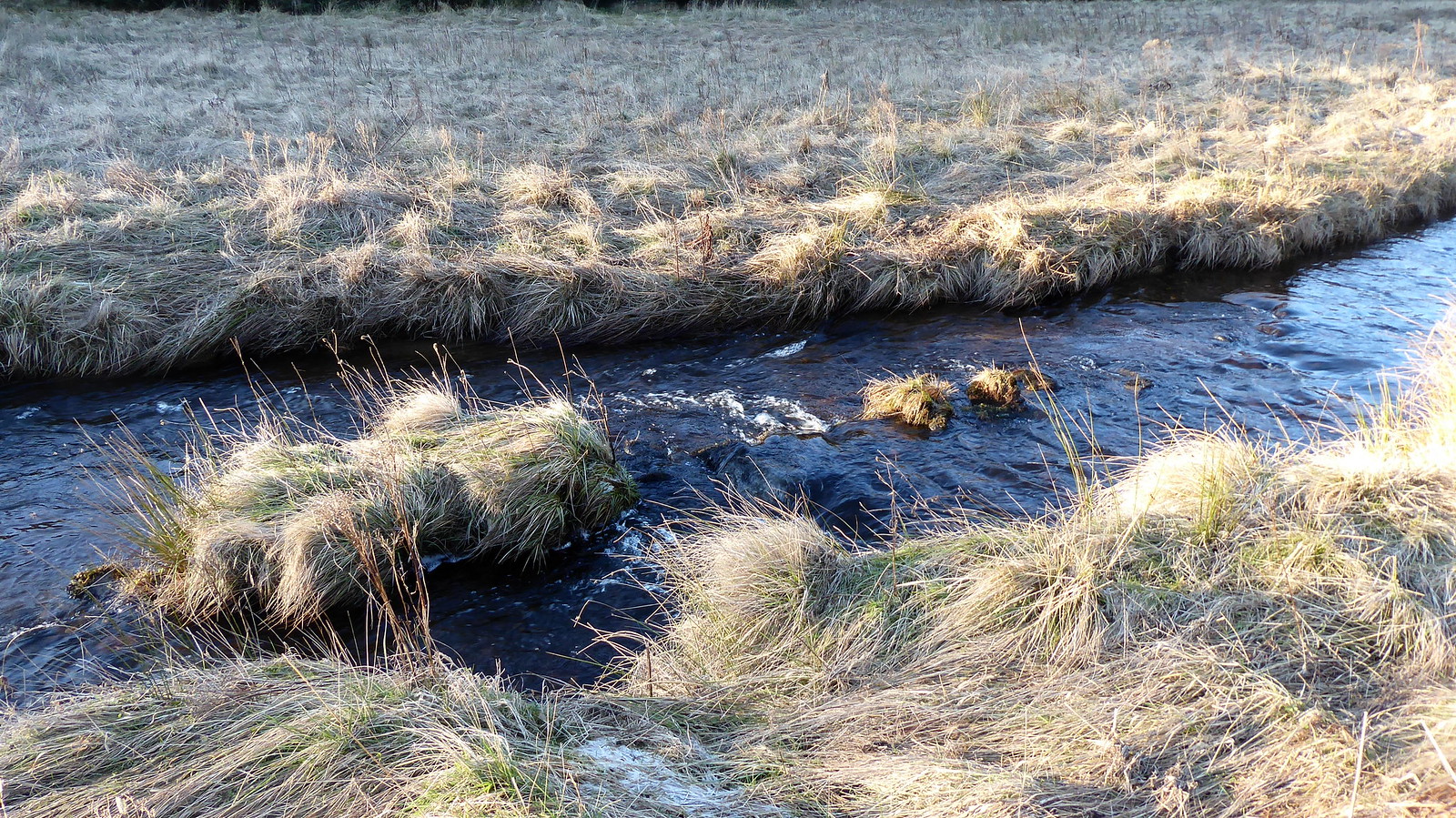 P1060828
 by
Pete Riedel, on Flickr
Looking back at my river crossingI was aiming for a clear fire break in the trees that I had spied from Crock (it was at NO234624) which made for a short, easy route through the trees. A slight issue with a barbed wire fence once clear of the trees. Found myself pushing my rucksack and walking pole through the fence and then forcing myself through a gap between two separate sections of fencing wire.
 P1060832
 by
Pete Riedel, on Flickr
Fire break on to the hill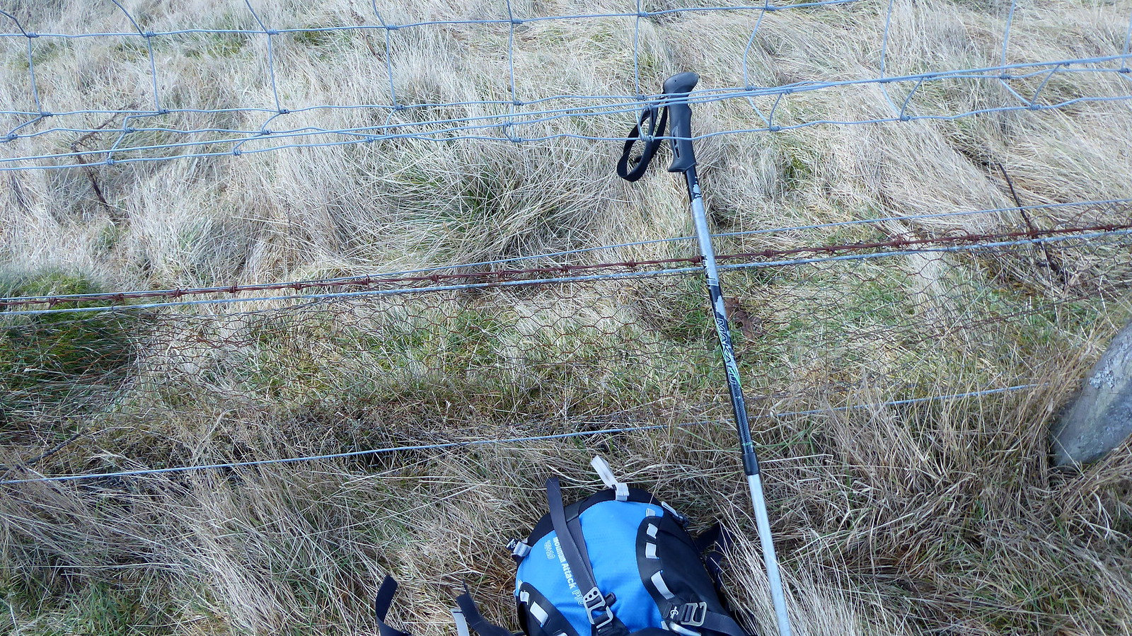 P1060835
 by
Pete Riedel, on Flickr
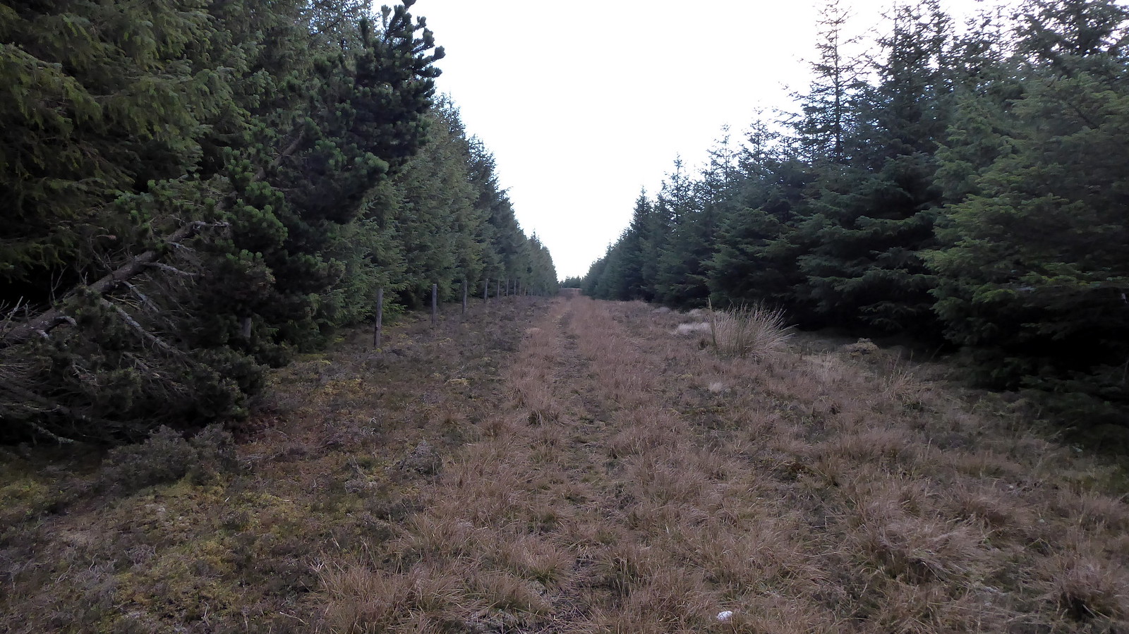
Looking back at the awkward fence obstacleAlthough not marked on the map I had noticed a track a short way to the right (once through the fence) that gave a rising traverse from right to left. Once located this made easy progress to the forestry track that is marked on the OS map (at around NO237625, but might be a bit off with that grid reference). From here I followed that track a short distance before picking up another track with a more direct route up to the top of the tree line (well the former tree line), from where it was an easy stroll over short heather to the summit trig.
 P1060839
 by
Pete Riedel, on Flickr
The track of the rising traverse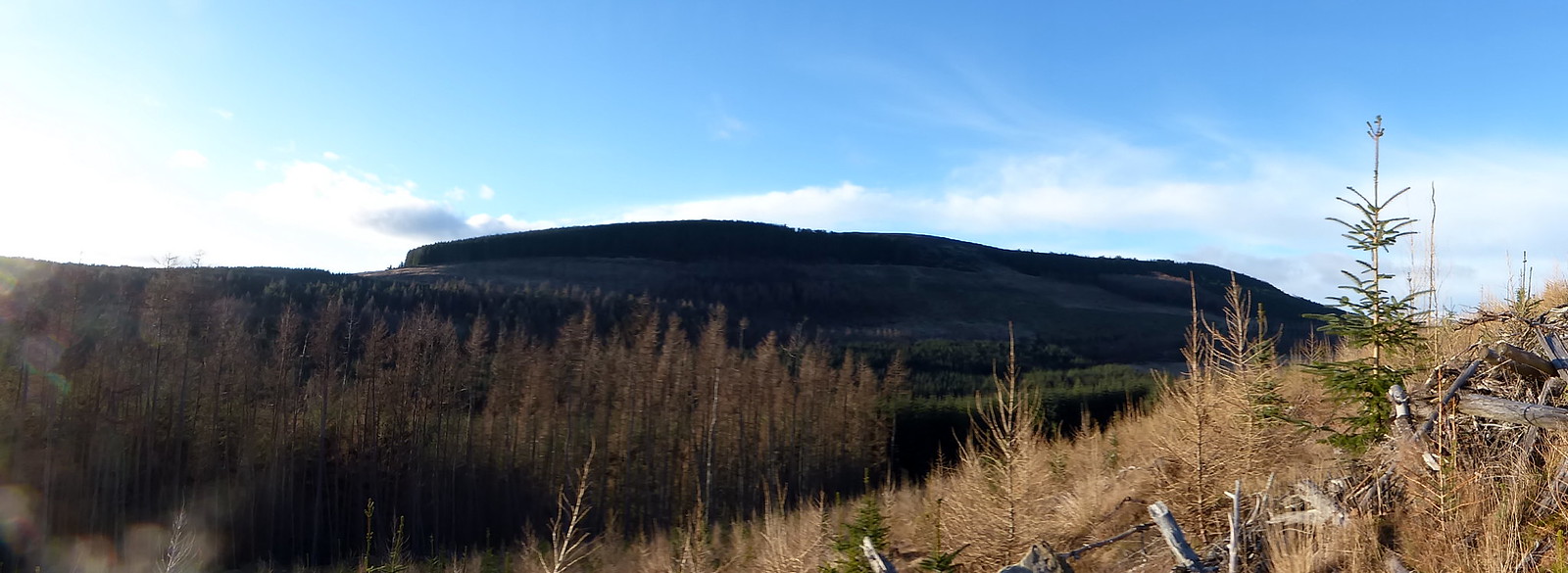 P1060841
 by
Pete Riedel, on Flickr
Back to Crock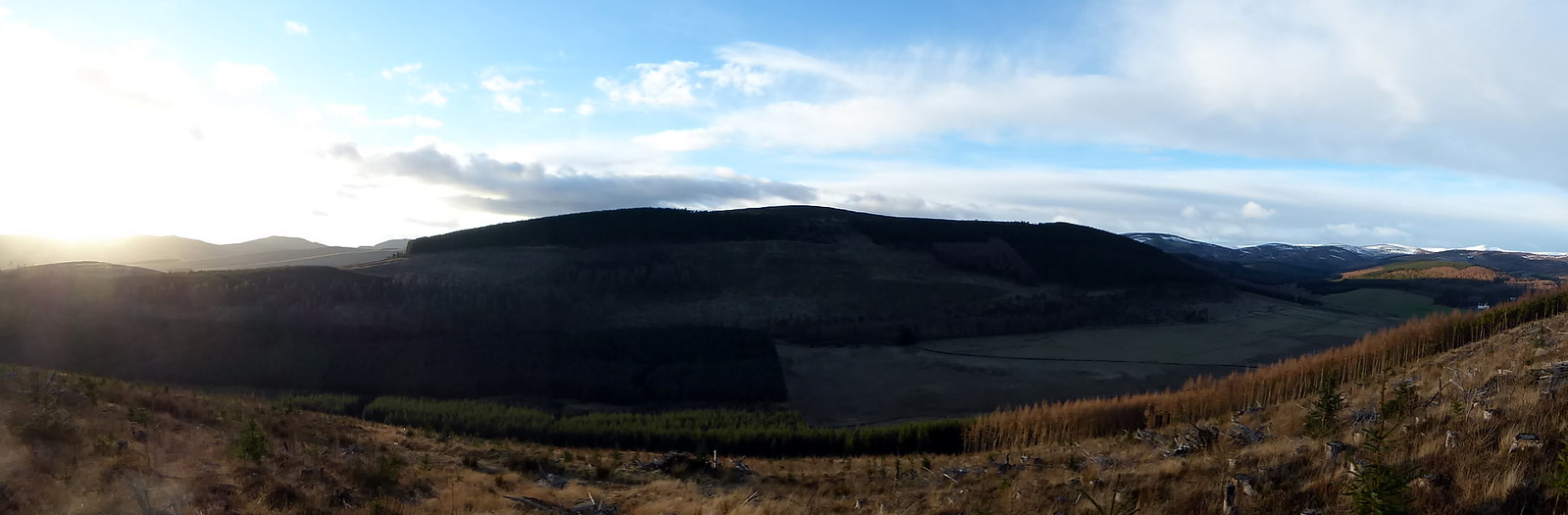 P1060857
 by
Pete Riedel, on Flickr
View back from the edge of the felled area P1060887
 by
Pete Riedel, on Flickr
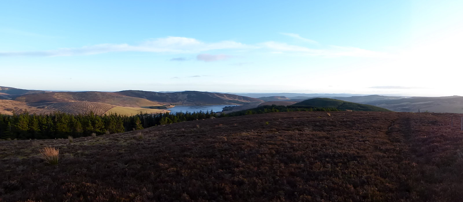
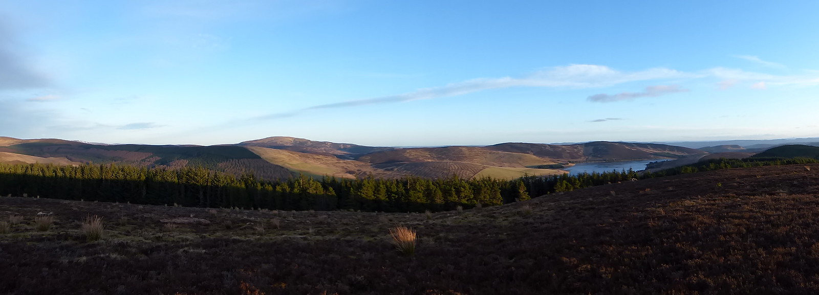
Hare Cairn summitVery nice views down the Blackwater Reservoir, across to Creigh Hill and back to Crock as well.
 P1060892
 by
Pete Riedel, on Flickr
 P1060897
 by
Pete Riedel, on Flickr
 P1060898
 by
Pete Riedel, on Flickr
 P1060899
 by
Pete Riedel, on Flickr
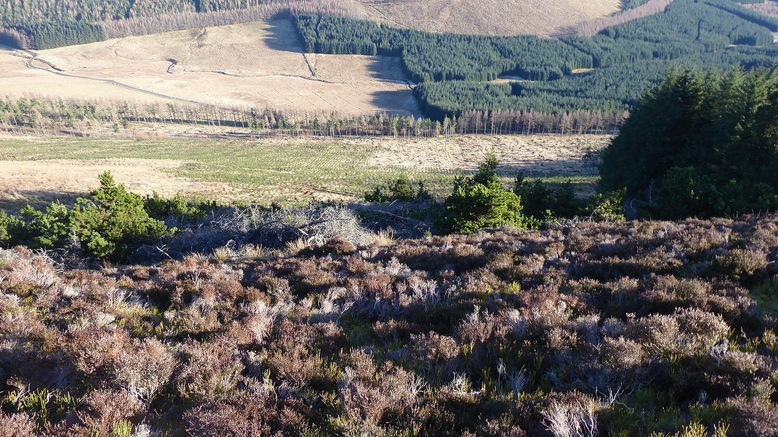
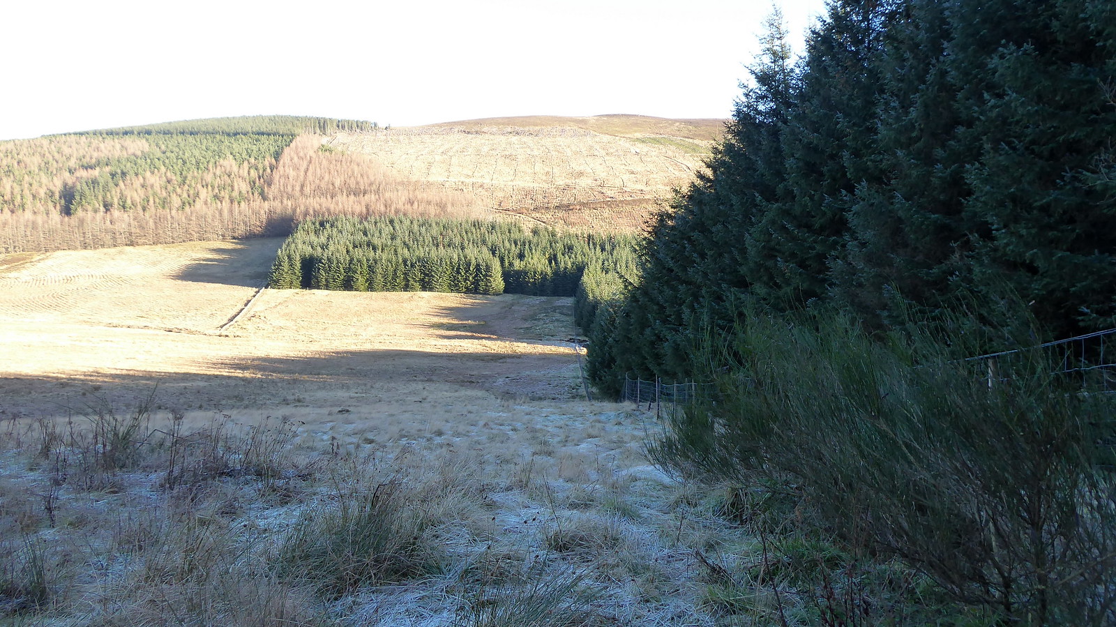
My route off Hare Cairn was via the fence line toward Creag Reamhar, from where I headed right off the hill toward the Knockshannoch Activity Centre and the short road walk back to the car. Save for a climb over a deer fence and avoiding a boggy section in the roadside field the descent off Creag Reamhar took place with little incident.
 P1060900
 by
Pete Riedel, on Flickr
 P1060902
 by
Pete Riedel, on Flickr
 P1060906
 by
Pete Riedel, on Flickr
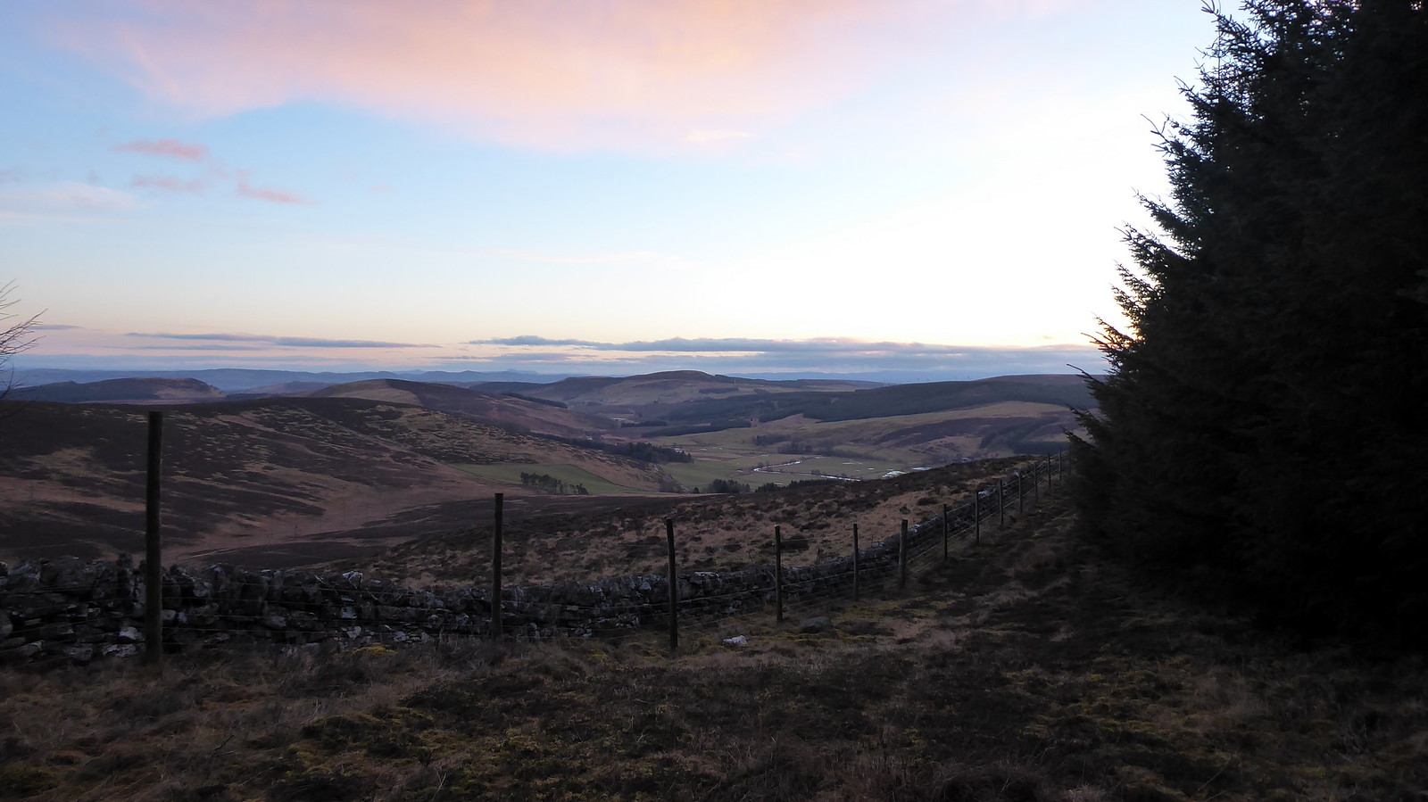 P1060911
 by
Pete Riedel, on Flickr
Was heading down besides these trees back to the road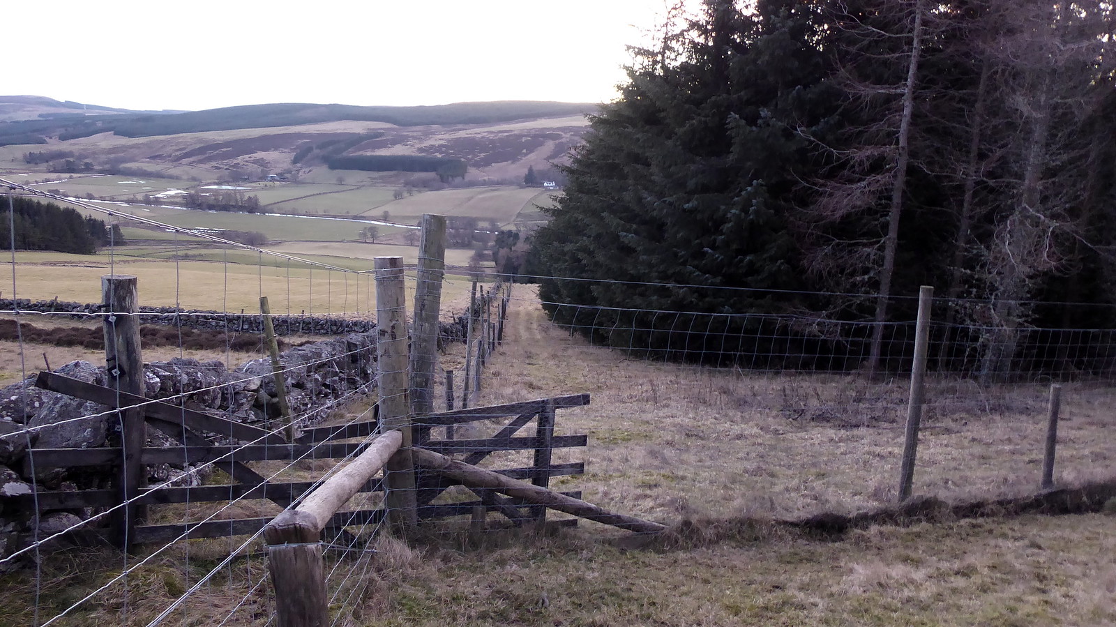 P1060912
 by
Pete Riedel, on Flickr
Another fence obstacle to negotiate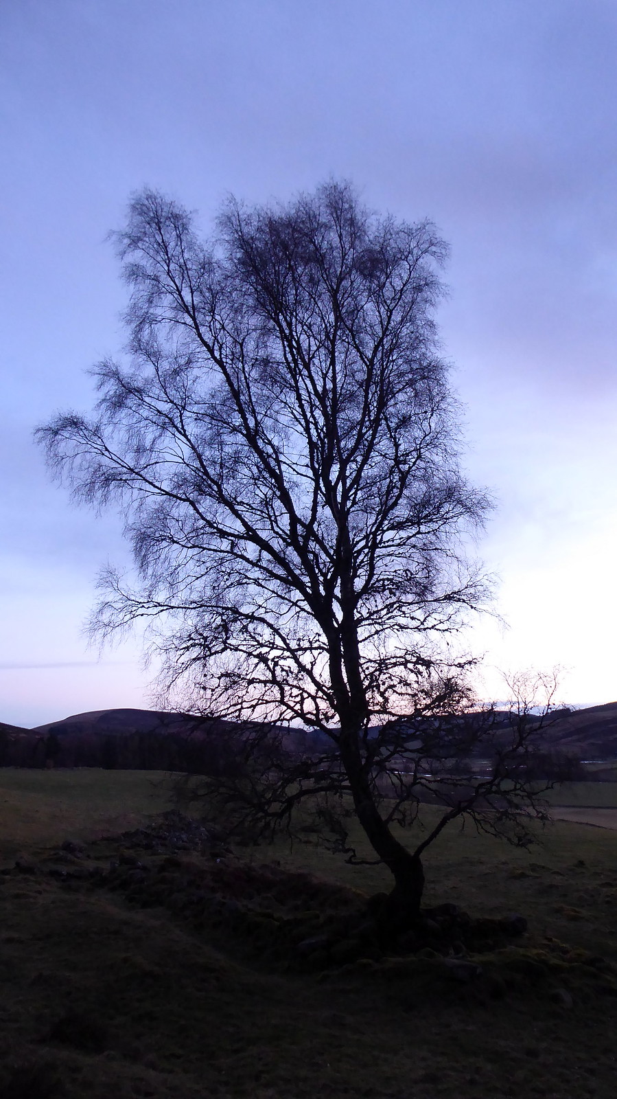 P1060914
 by
Pete Riedel, on Flickr
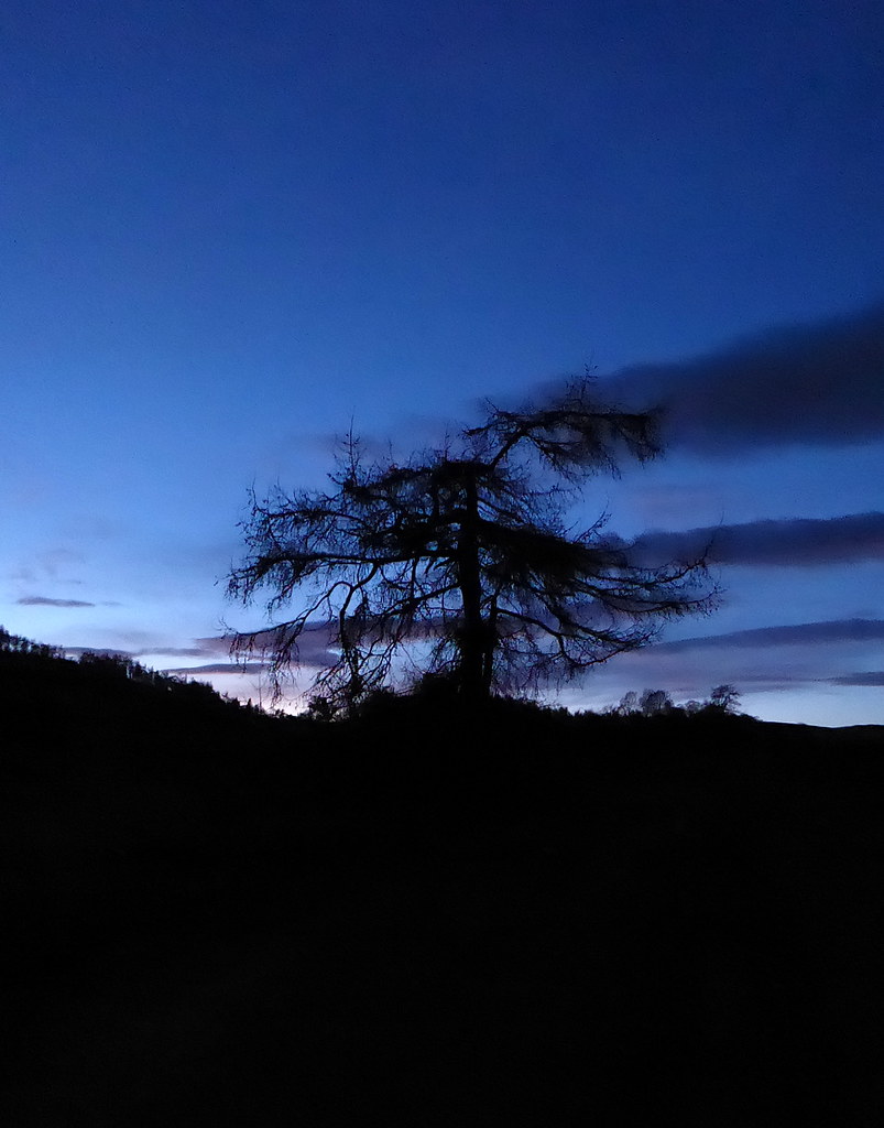
I do like a tree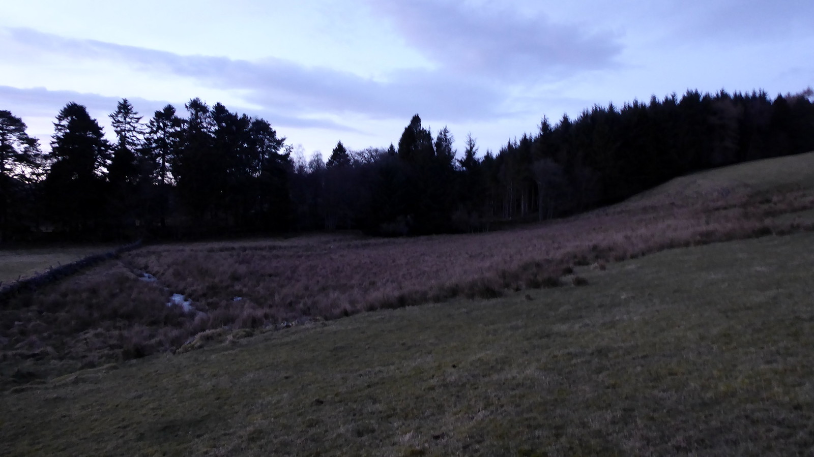 P1060916
 by
Pete Riedel, on Flickr
Boggy ground avoidedBack at the road and it was just a short(ish) trot back to Kirkton of Glenisla and my motor.
 P1060920
 by
Pete Riedel, on Flickr
I do like a tree #2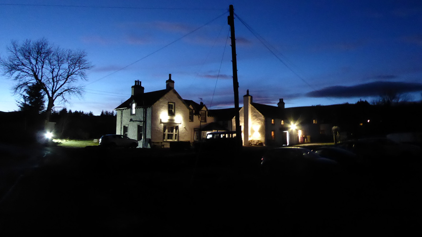 P1060926
 by
Pete Riedel, on Flickr
Glenisla House pubCrock may have lost some of its mystique for some, what with its covering of conifers having been shorn from its top. What is left with these two hills though is a very pleasant half day walk, offering some good views of the surrounding hills.
