free to be able to rate and comment on reports (as well as access 1:25000 mapping).
Yet another Borders raid on my way home from down south, this time I was visiting hills I almost walked over the last month. I had actually started walking Hods a few weeks ago and gave up after 10 minutes, far too windy and very cold. I am glad I did as it is a good wee hill offering great views of Daer Reservoir and umpteen wind turbines.
Hods Hill
Ascent: 285m
Distance: 7.5km
Time: 1hr 30mins
Hods Hill route
Last time I parked near the dam but decided to park a bit further north, nearer to the main road very close to the cattle grid.
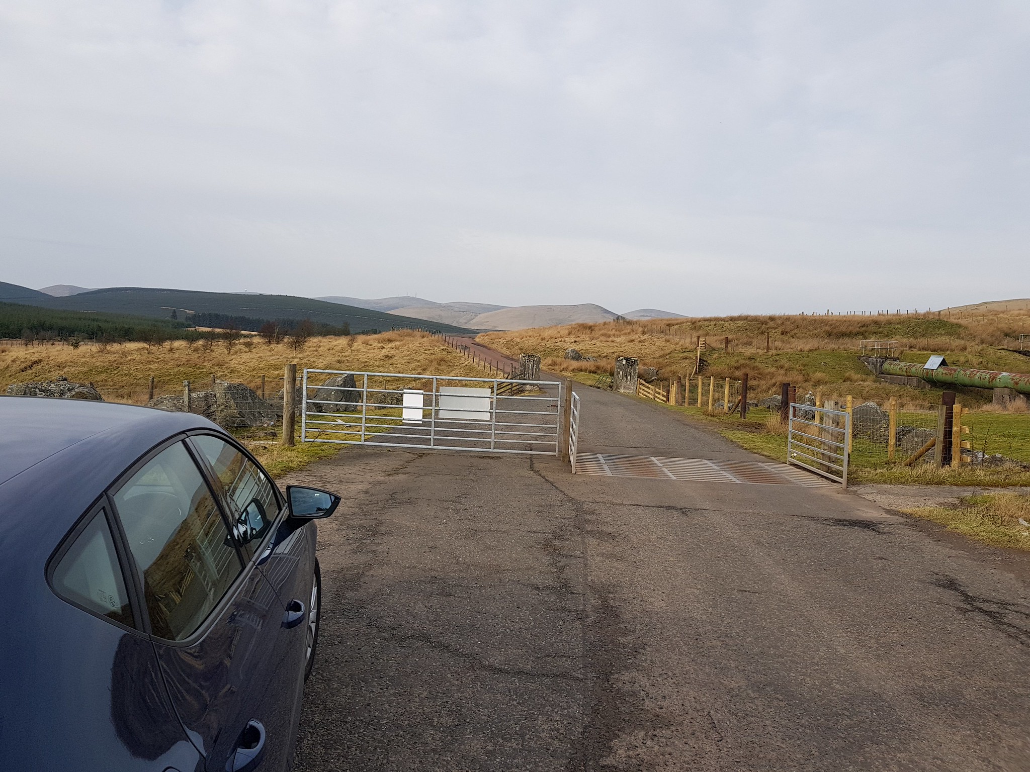
Parking spot
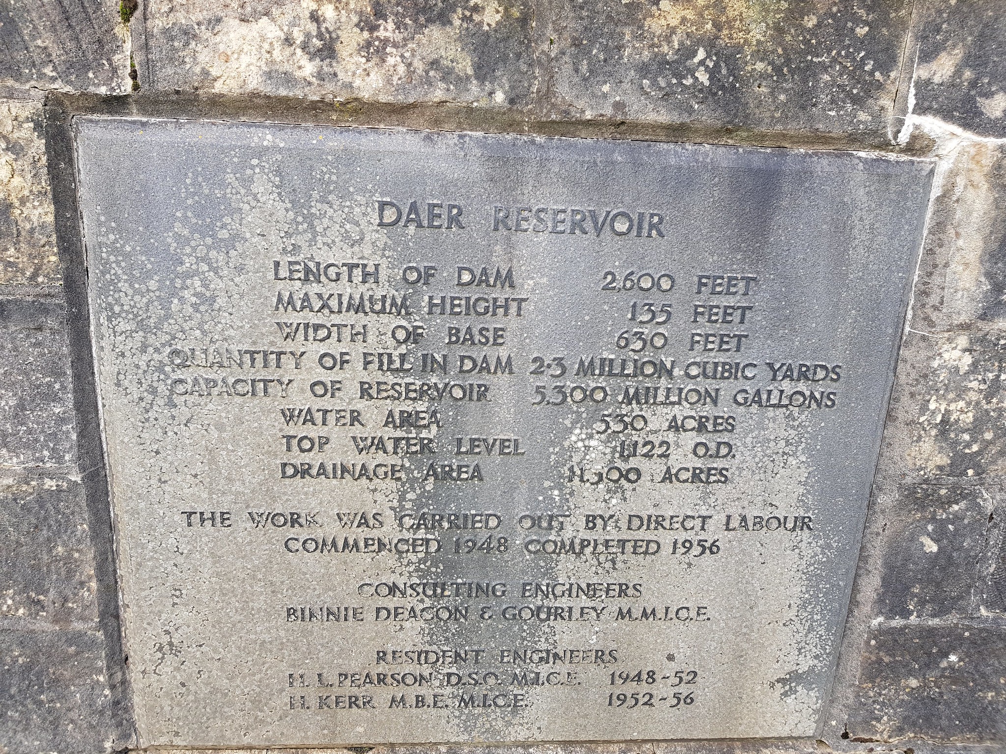
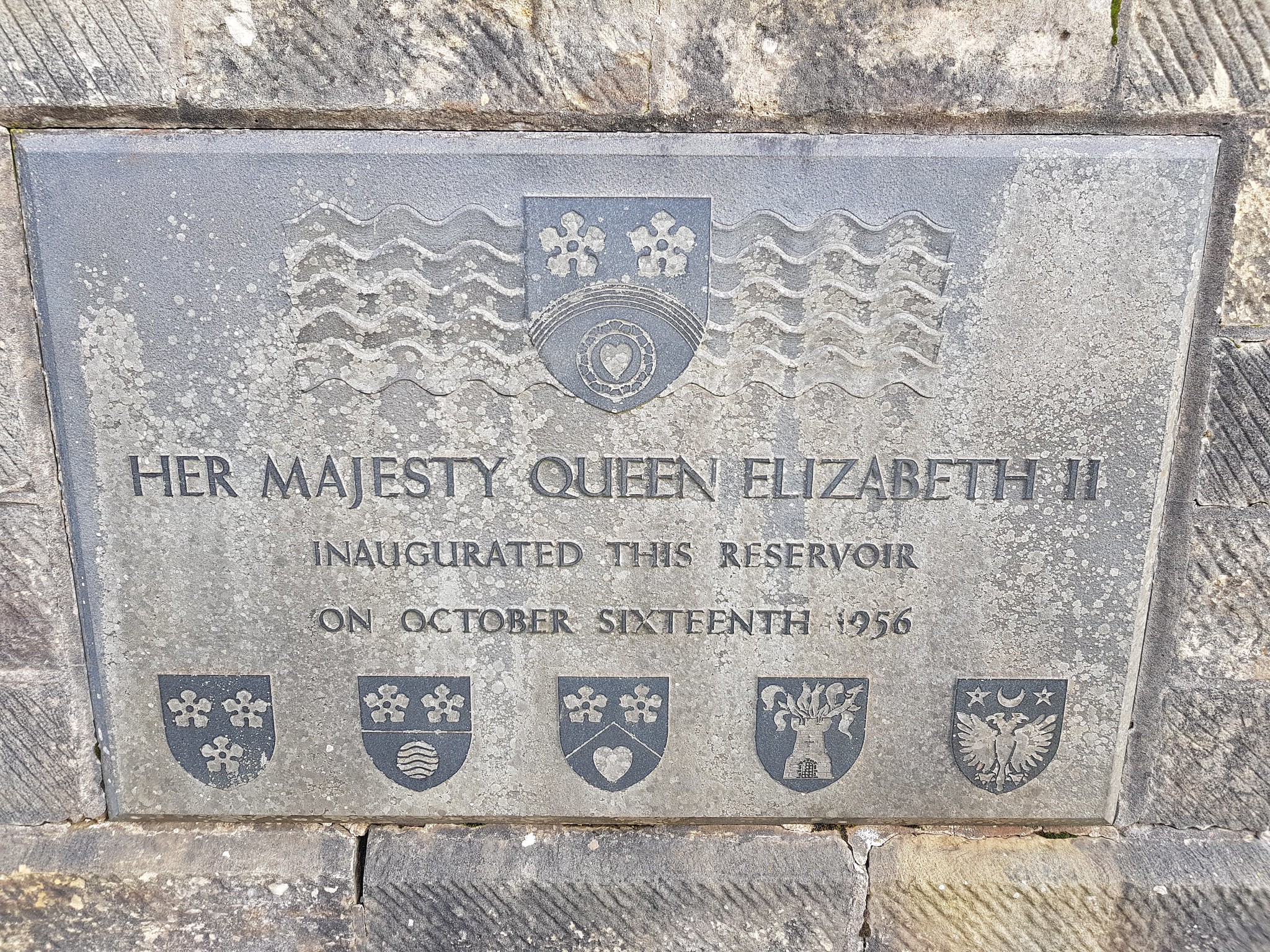
A few facts on Daer Reservoir
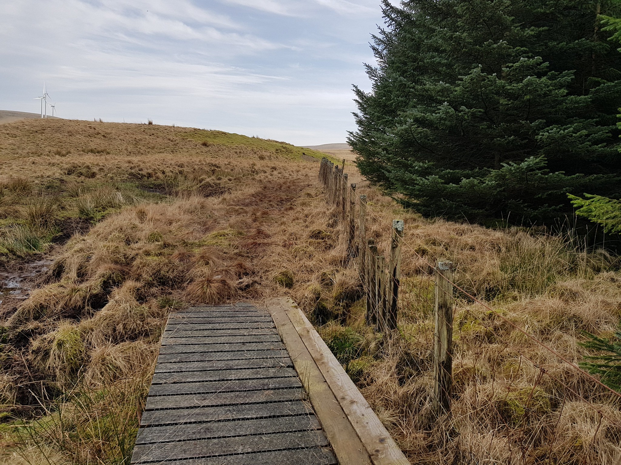
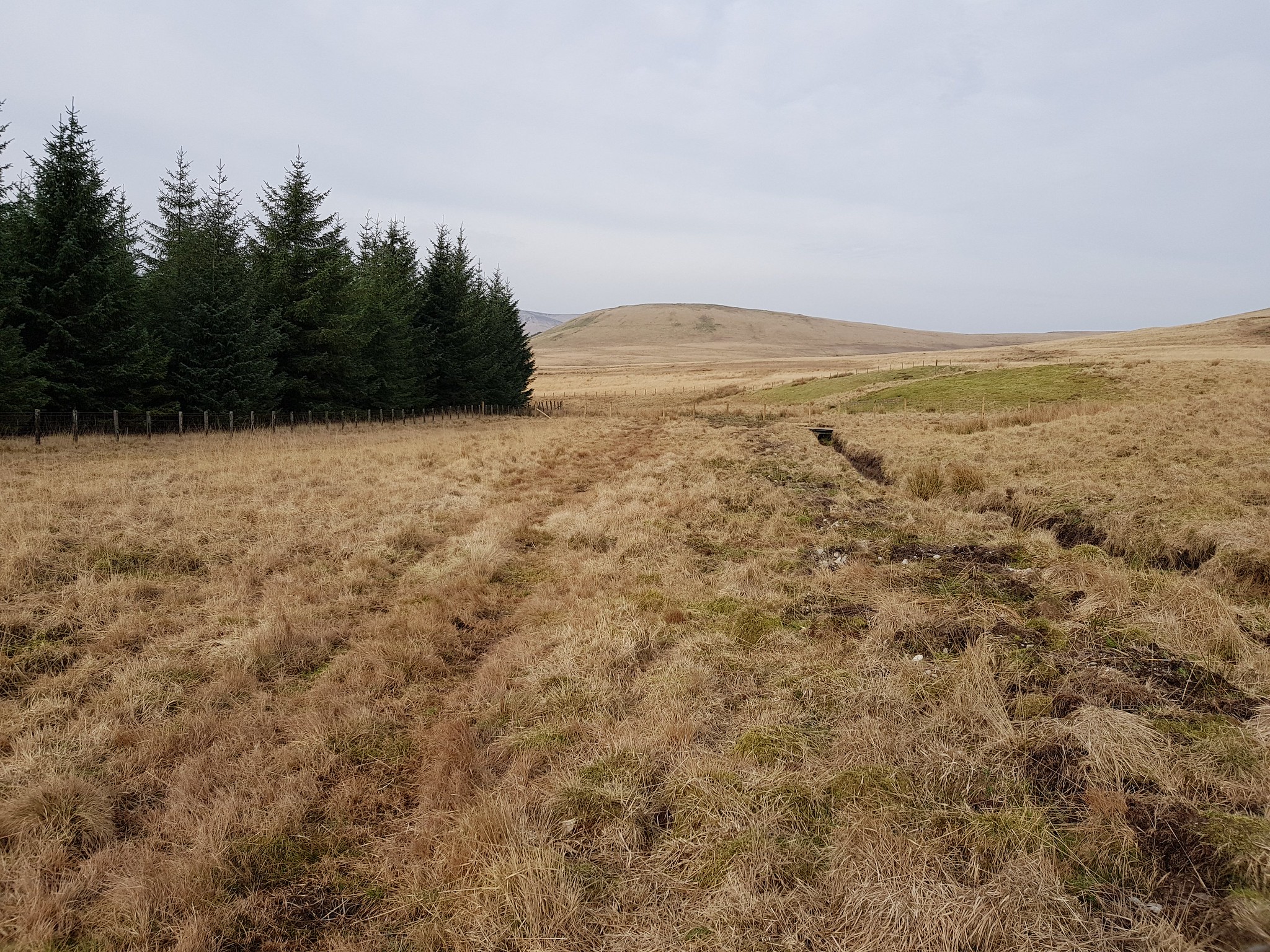
A wee bit boggy lower down
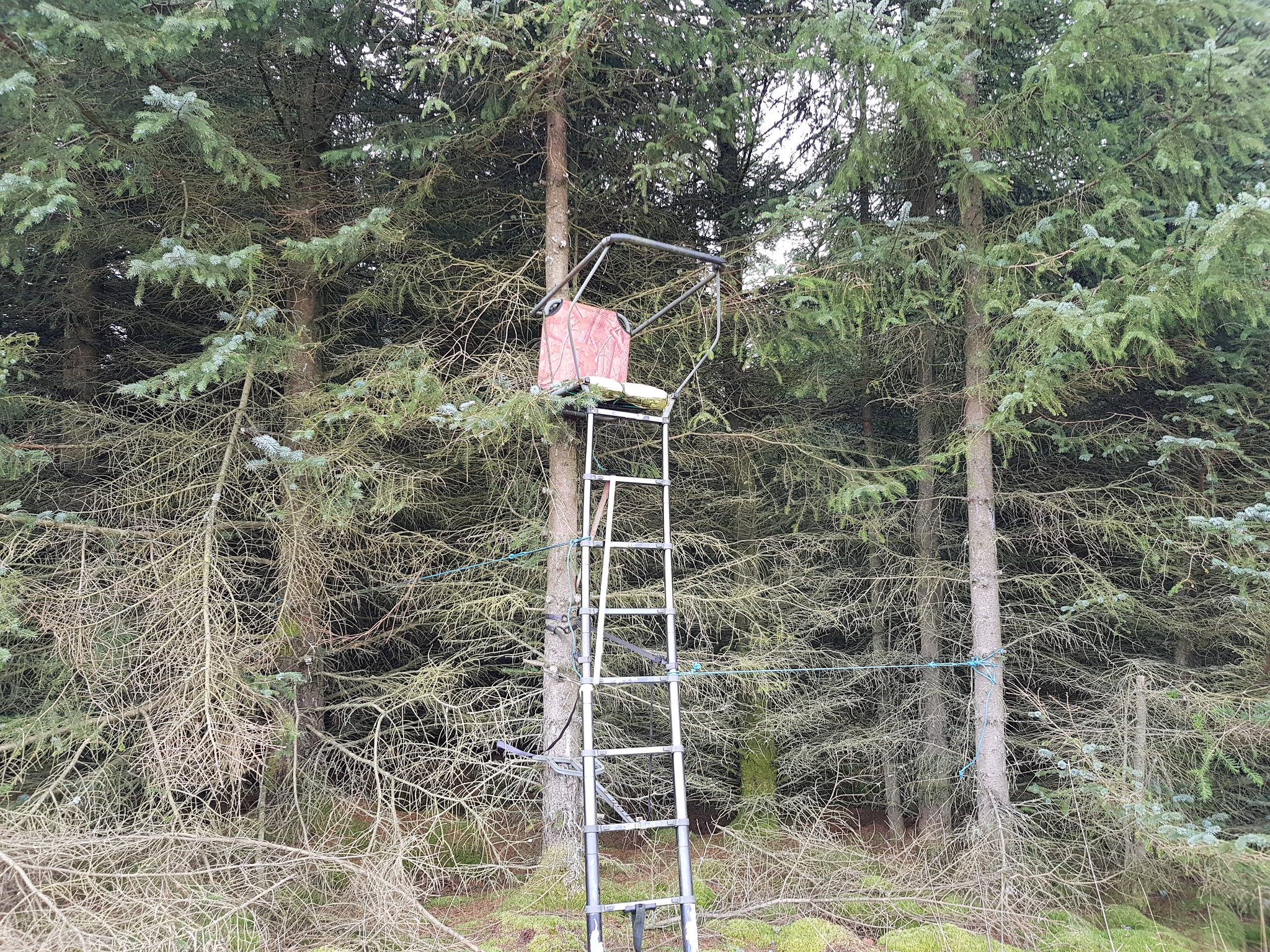
Wasn't tempted to climb up, even the padded seat wasn't enough
Looking back the seat in the previous photo is at the corner of the trees
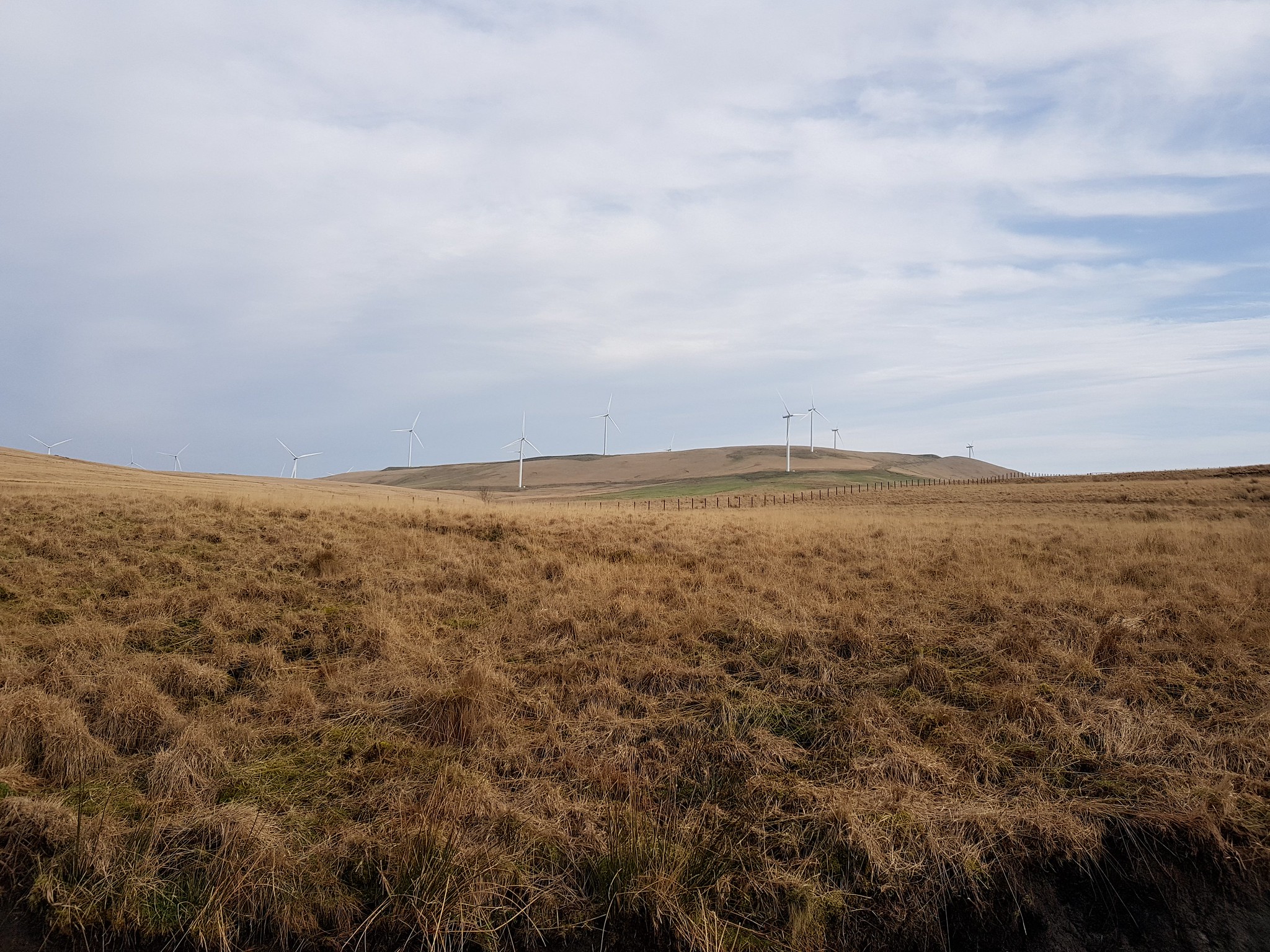
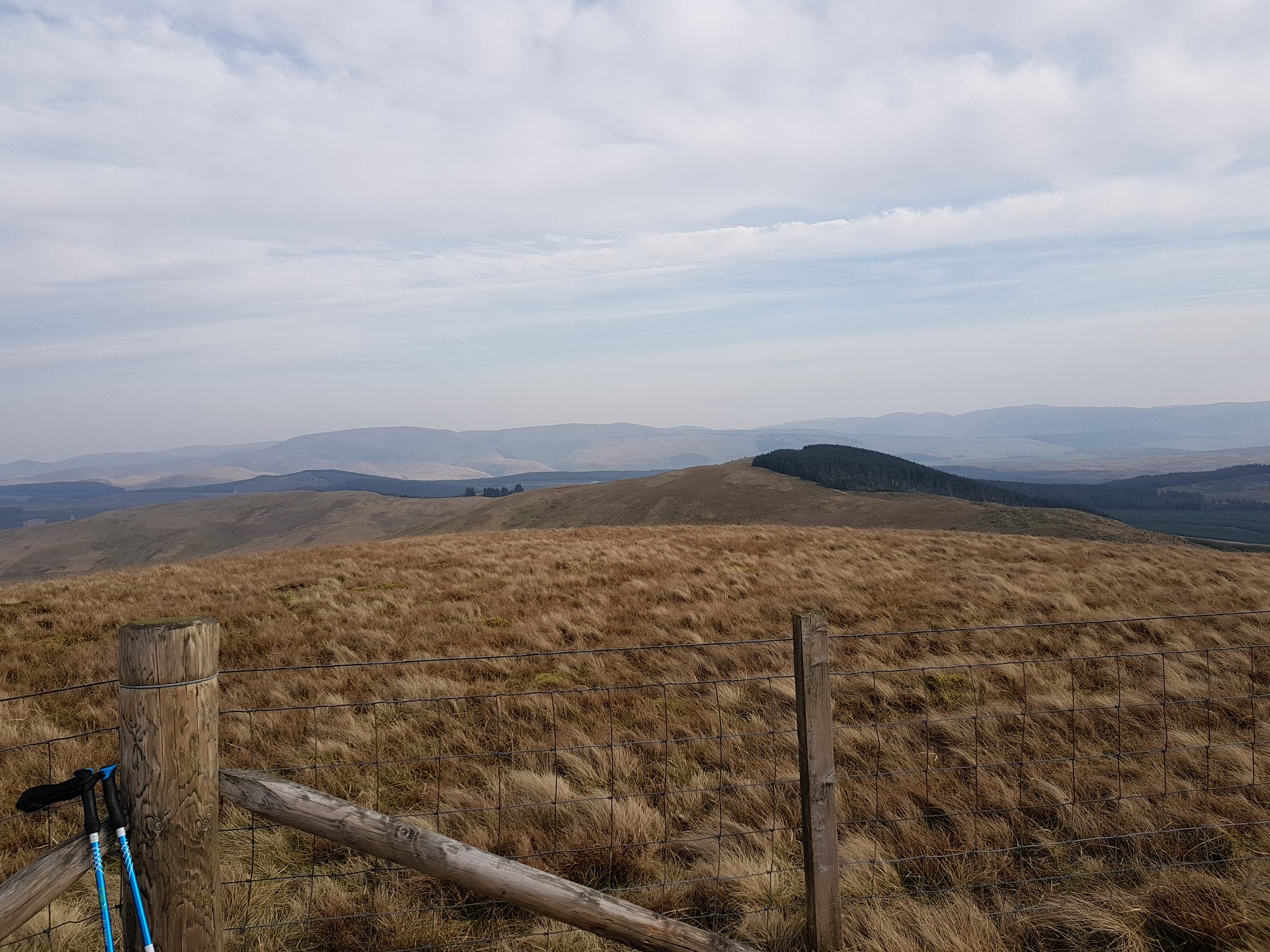
You can't avoid them in the Borders
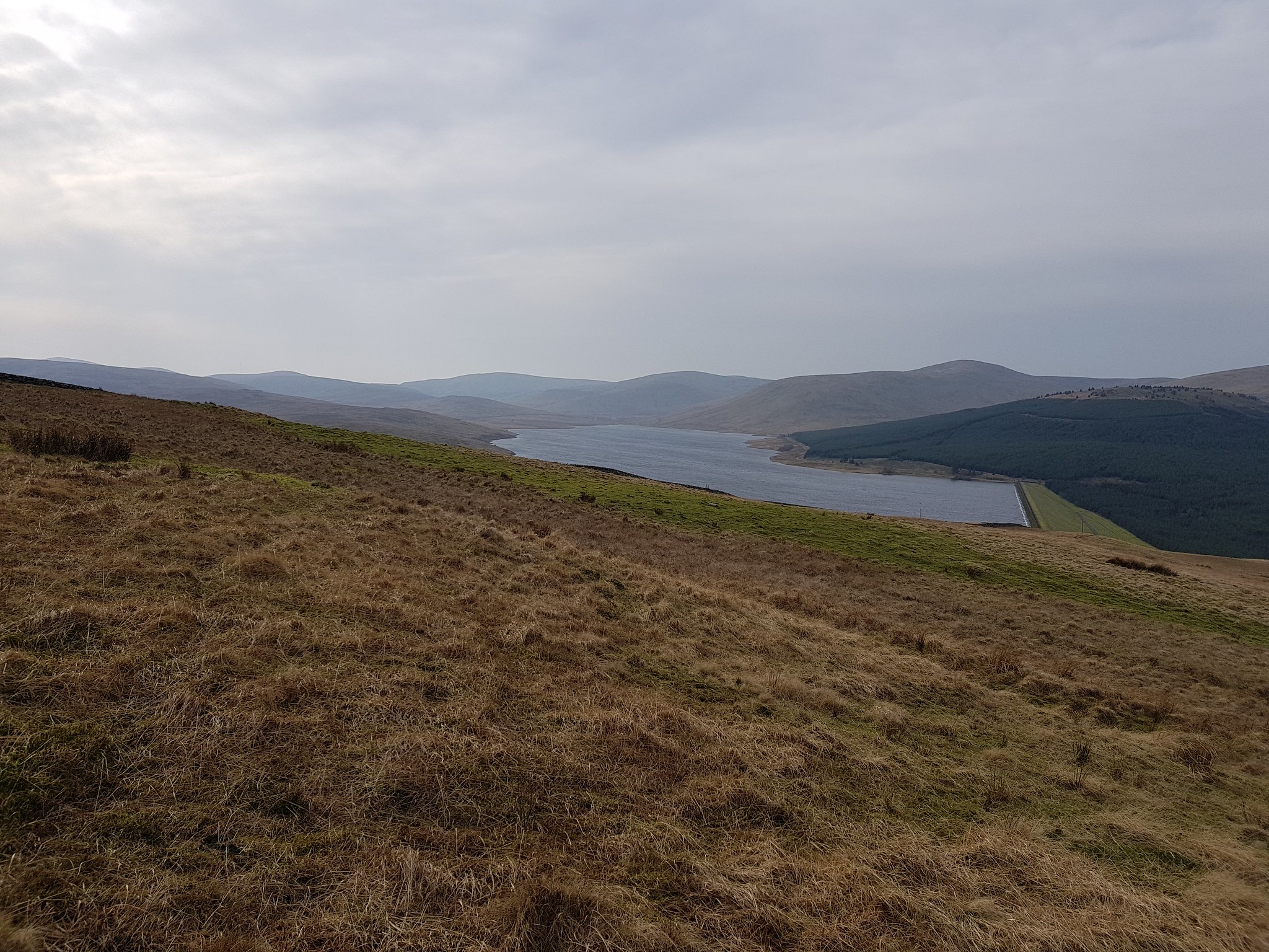
Low level shot of Daer Reservoir and the dam
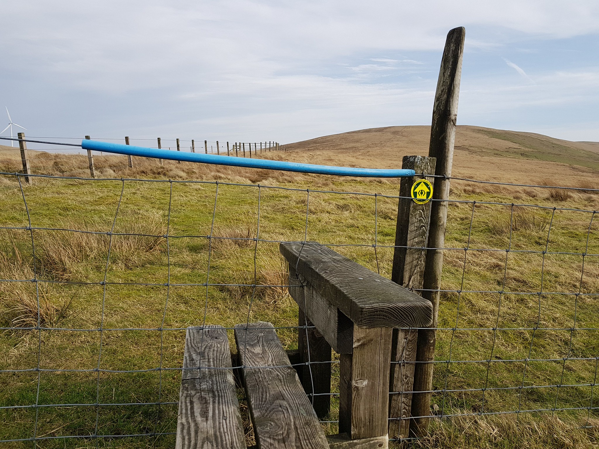
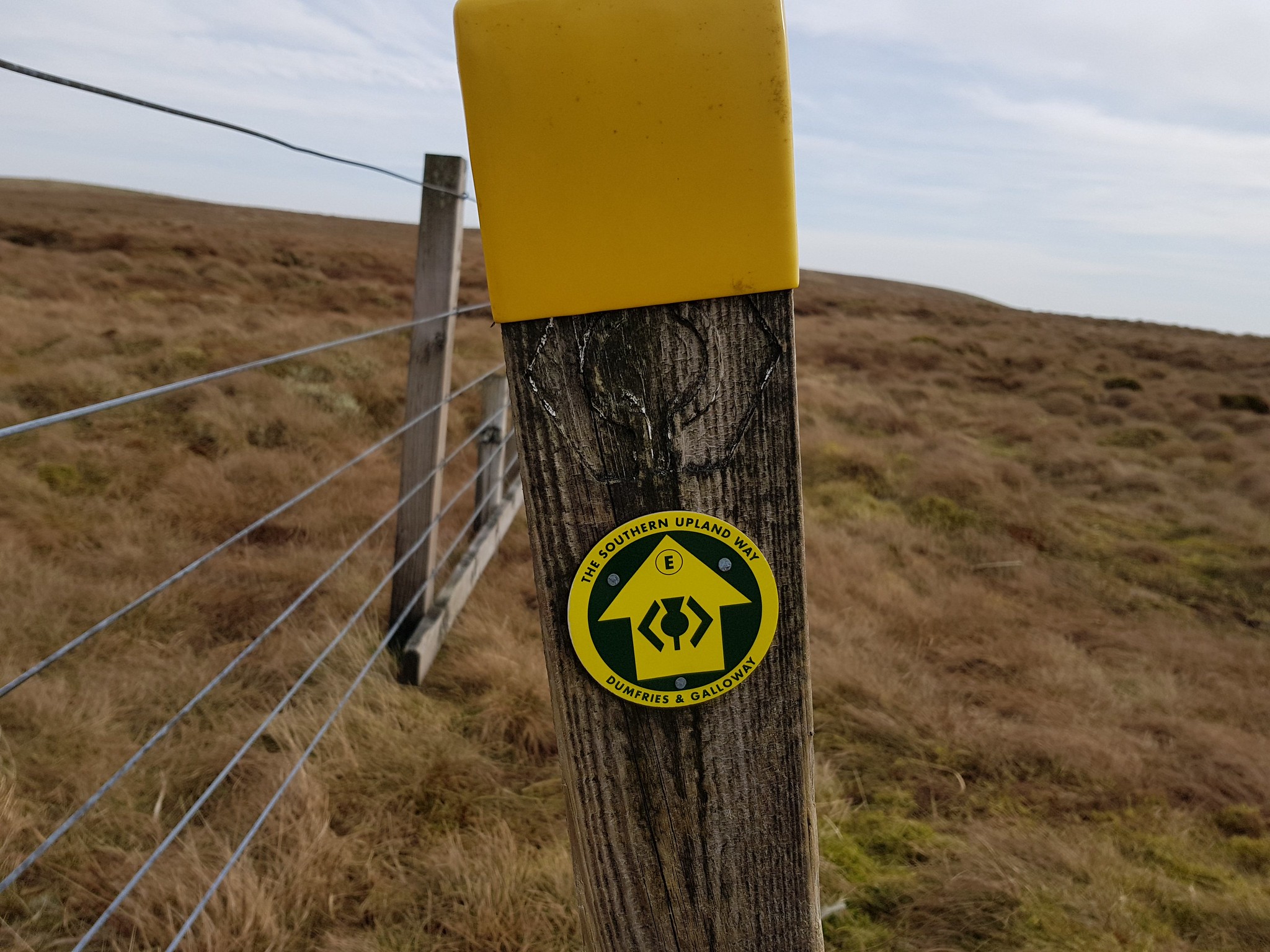
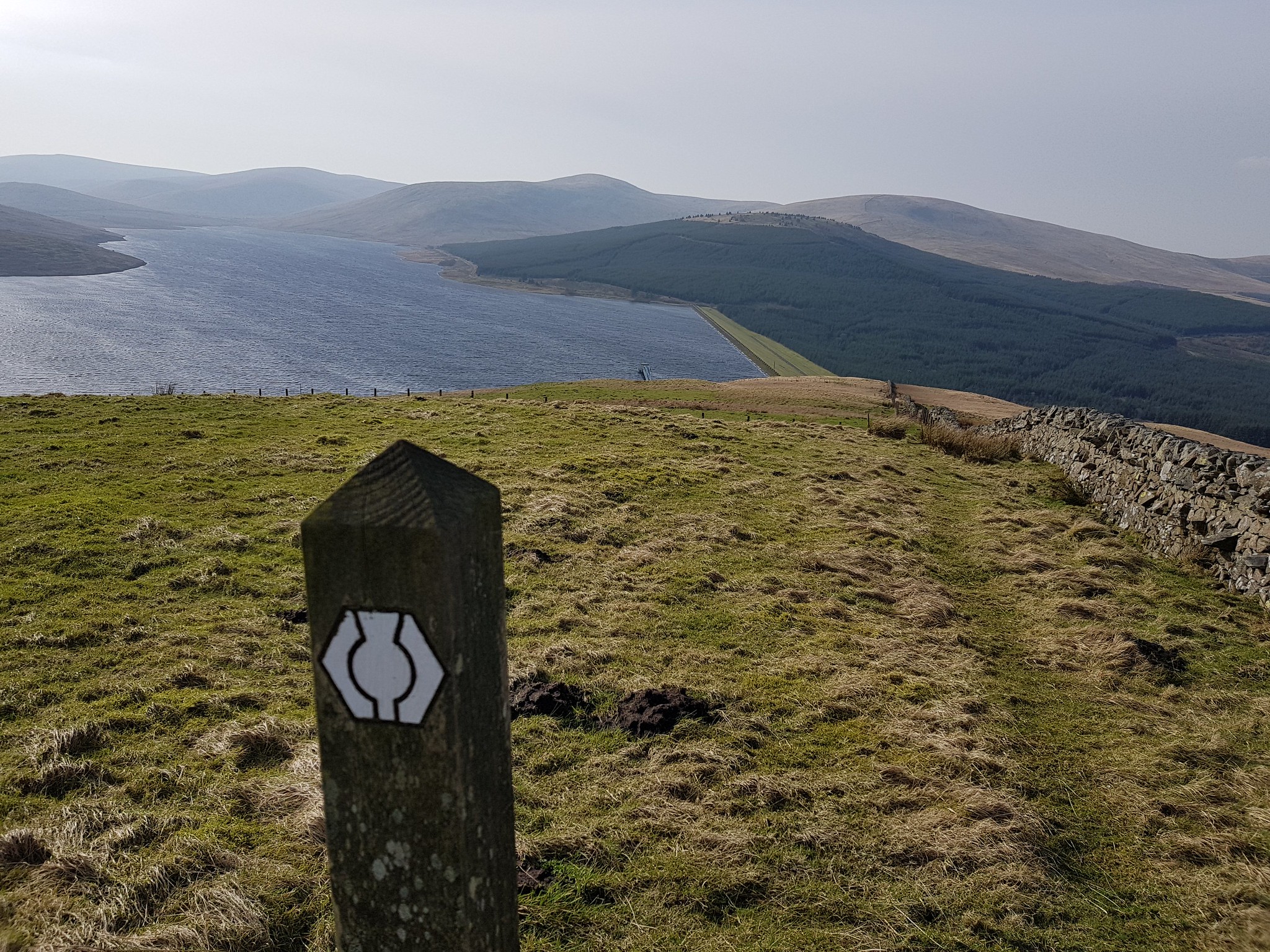
Southern Upland Way symbol and it goes right over the summit of Hods Hill
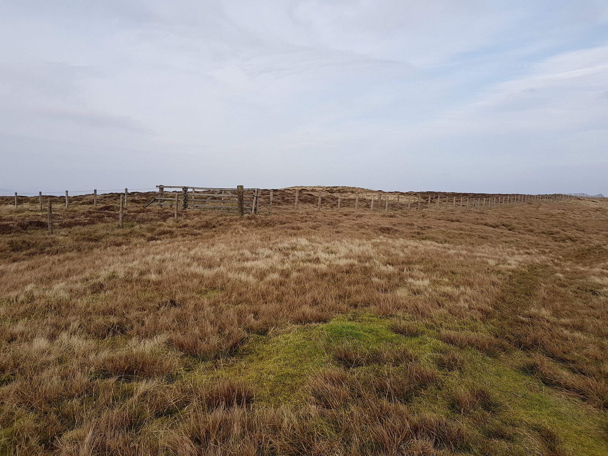
Certainly didn't fancy climbing over the fence as the top 2 tiers are barbed wire
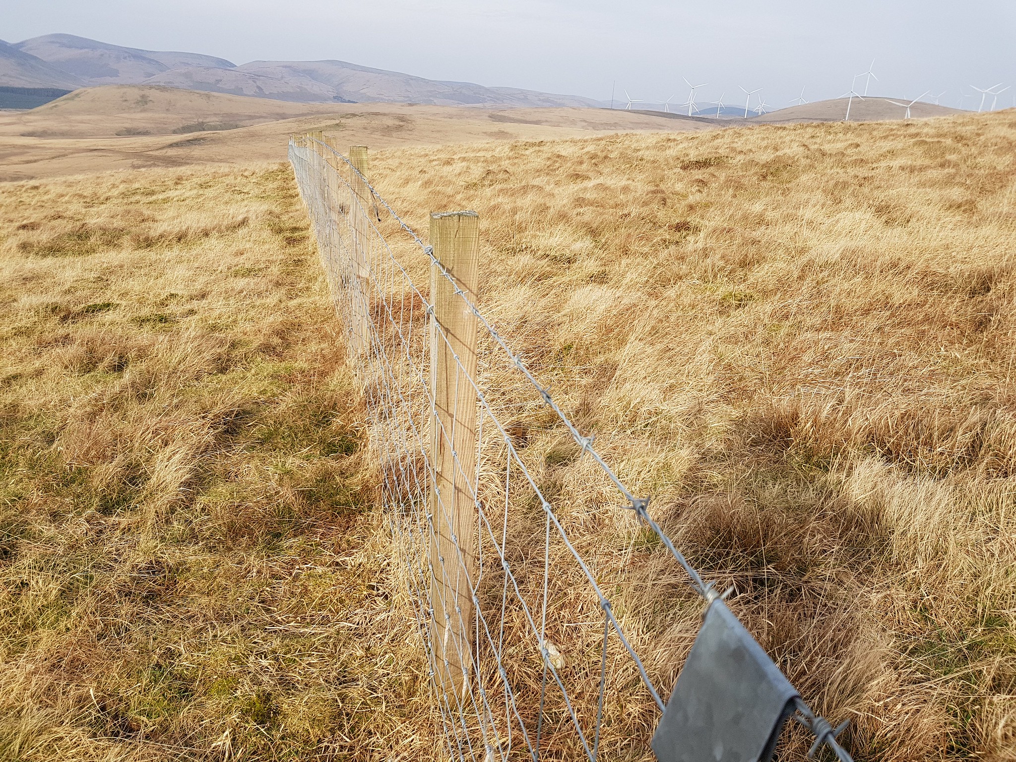
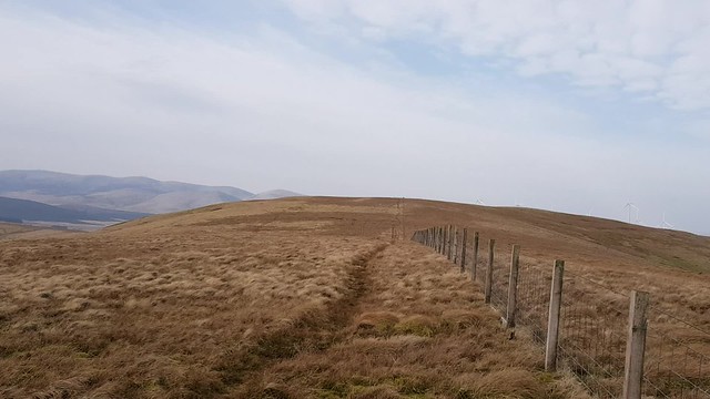
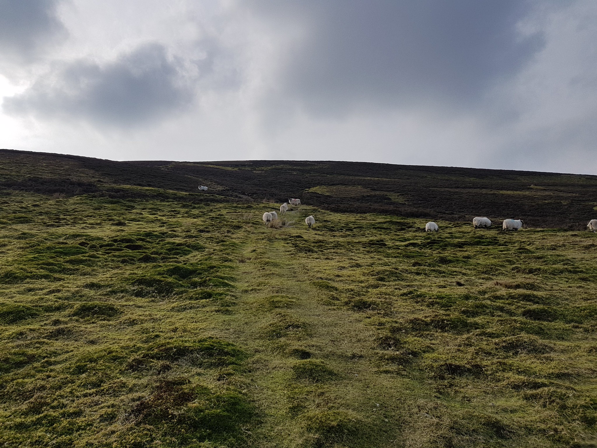
Plenty of these dotted along the ascent
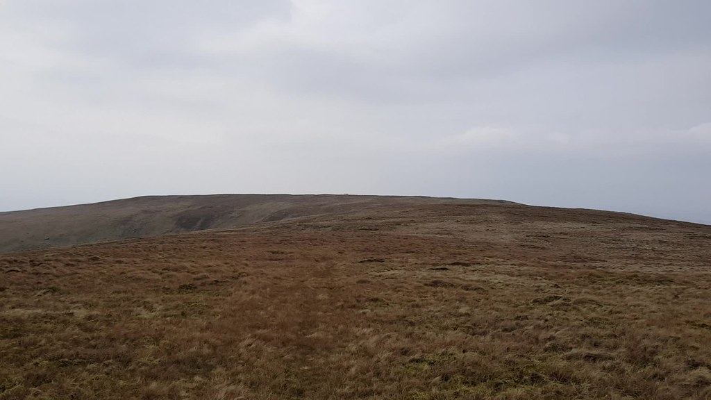
Looking back downhill, nice gradual ascent
Video taken on the summit of Hods Hill
Summit of Hods Hill, otherwise known as a point where fences join
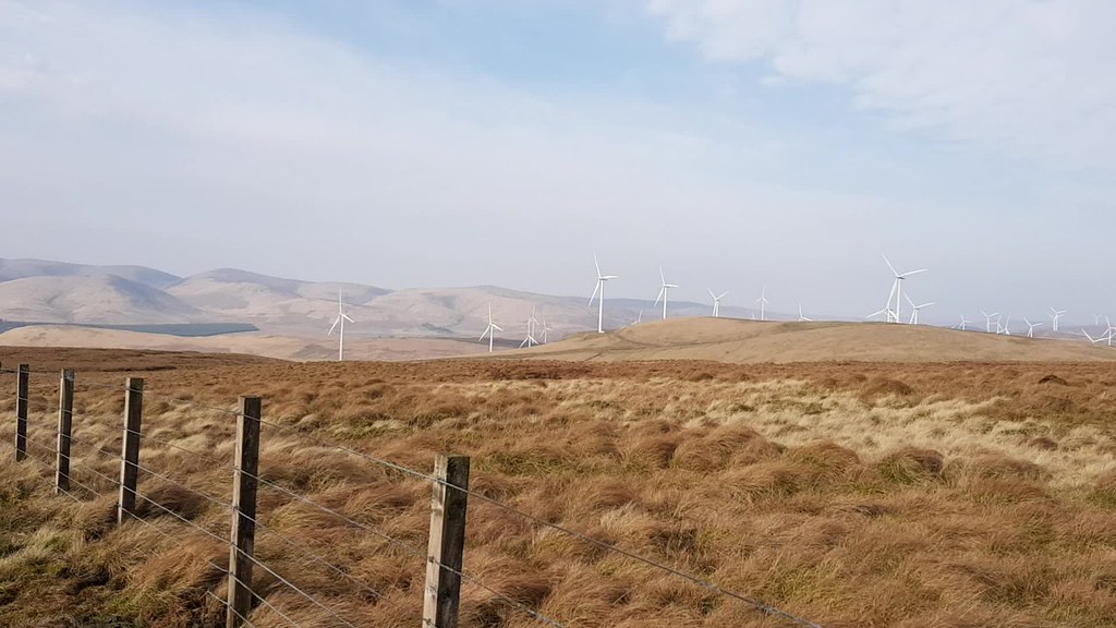
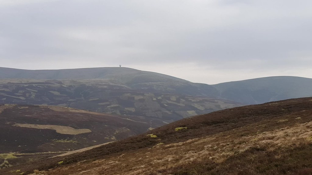
Video taken on the descent of the odd turbine or two, for a change they almost blend into the grey sky and haze
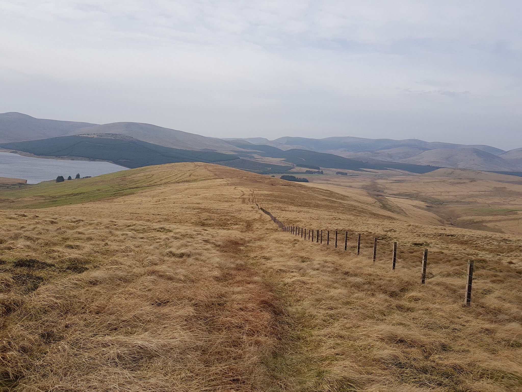
Slightly different descent route following the SUW down to the dam
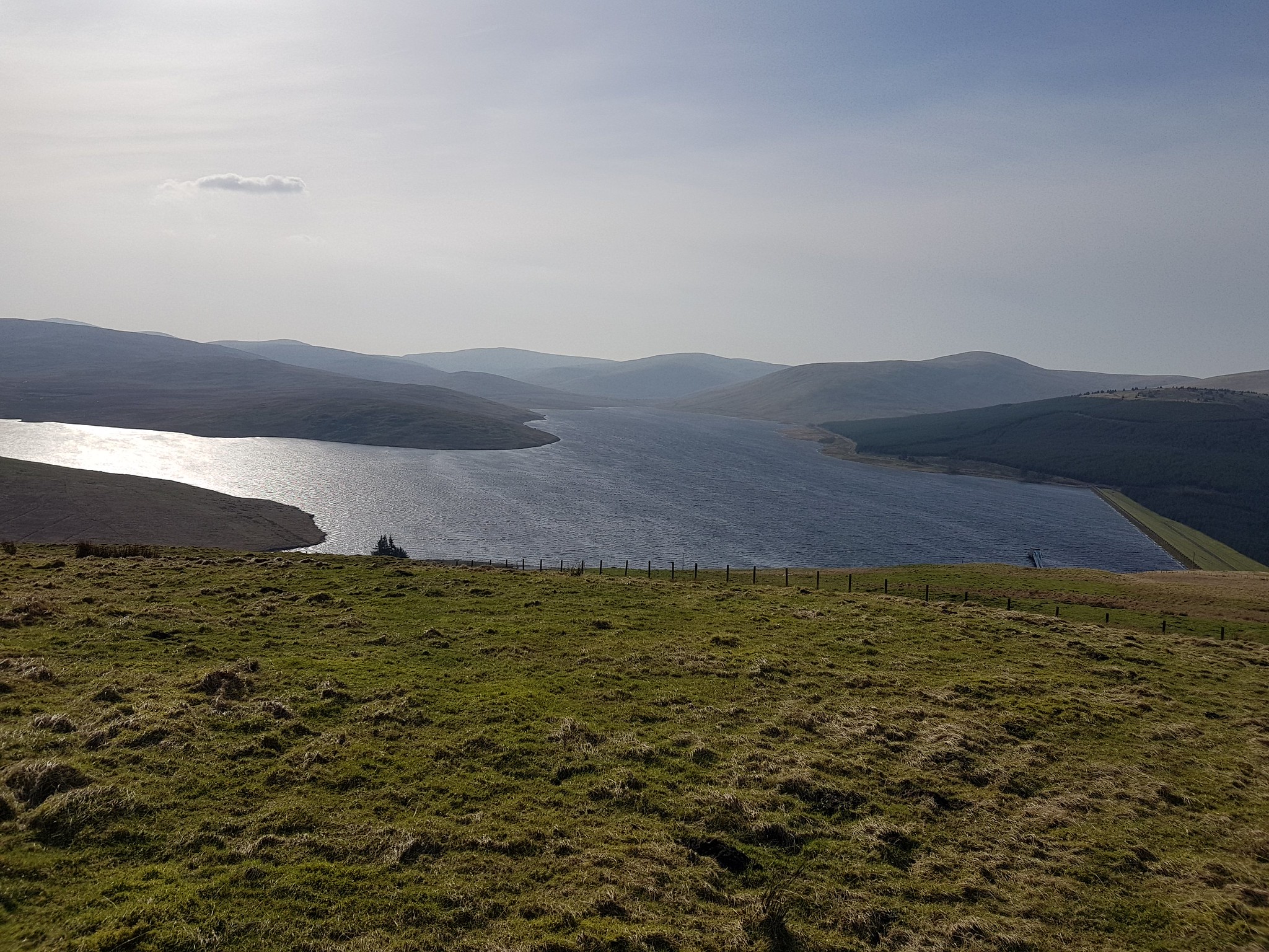
Great view of Daer Reservoir
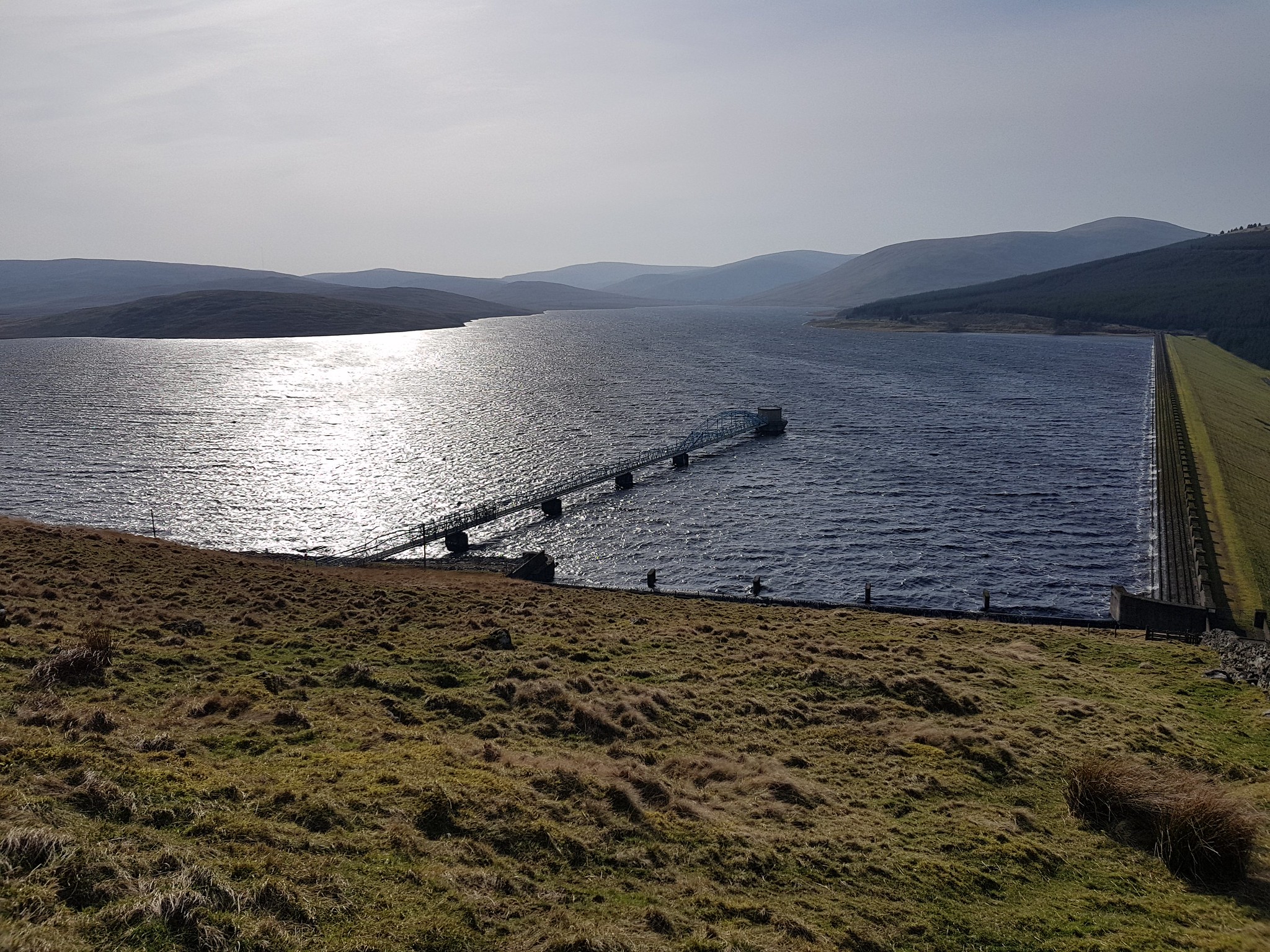
Getting closer to the reservoir and dam
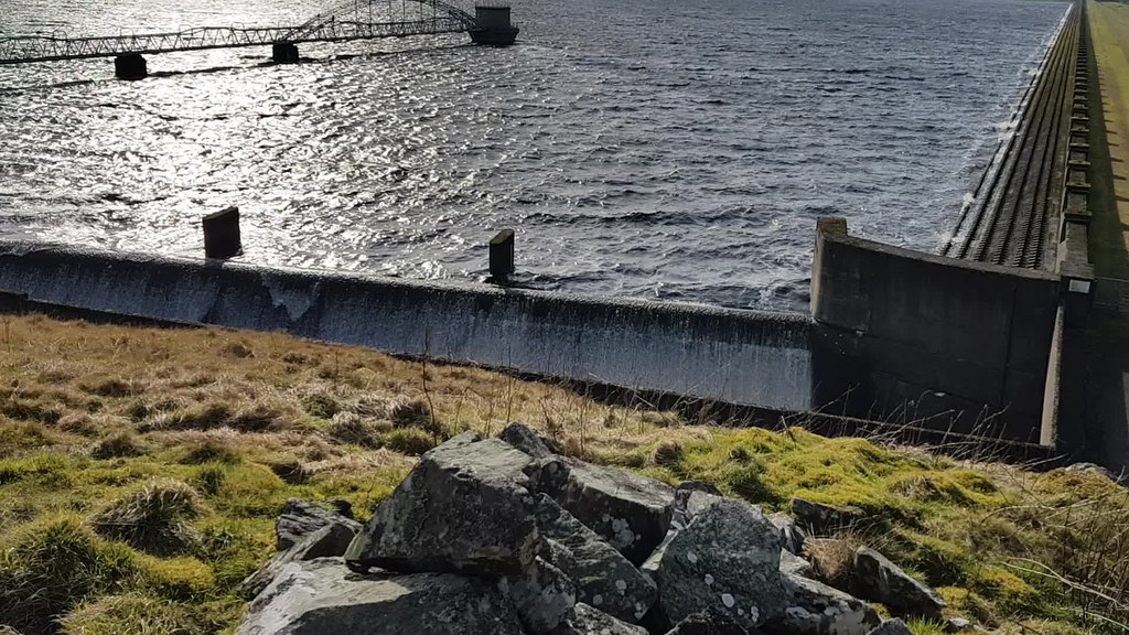
A short video which is kind of mesmerising, watching the water flow over the side

Intruders are obviously not welcome
As the drive to Wanlockhead was only about 15mins or so I decided to keep my boots on, the roads around the Lowthers are great driving roads, undulating and bendy. I parked in the same spot that George and I used on our last visit a couple of weeks ago. Our excuse then was that the rain had just started and we had already 'bagged' 3 Marilyns.
Green Hill
Ascent: 200m
Distance: 3.5km
Time: 50mins
Green Hill route, straight up and down
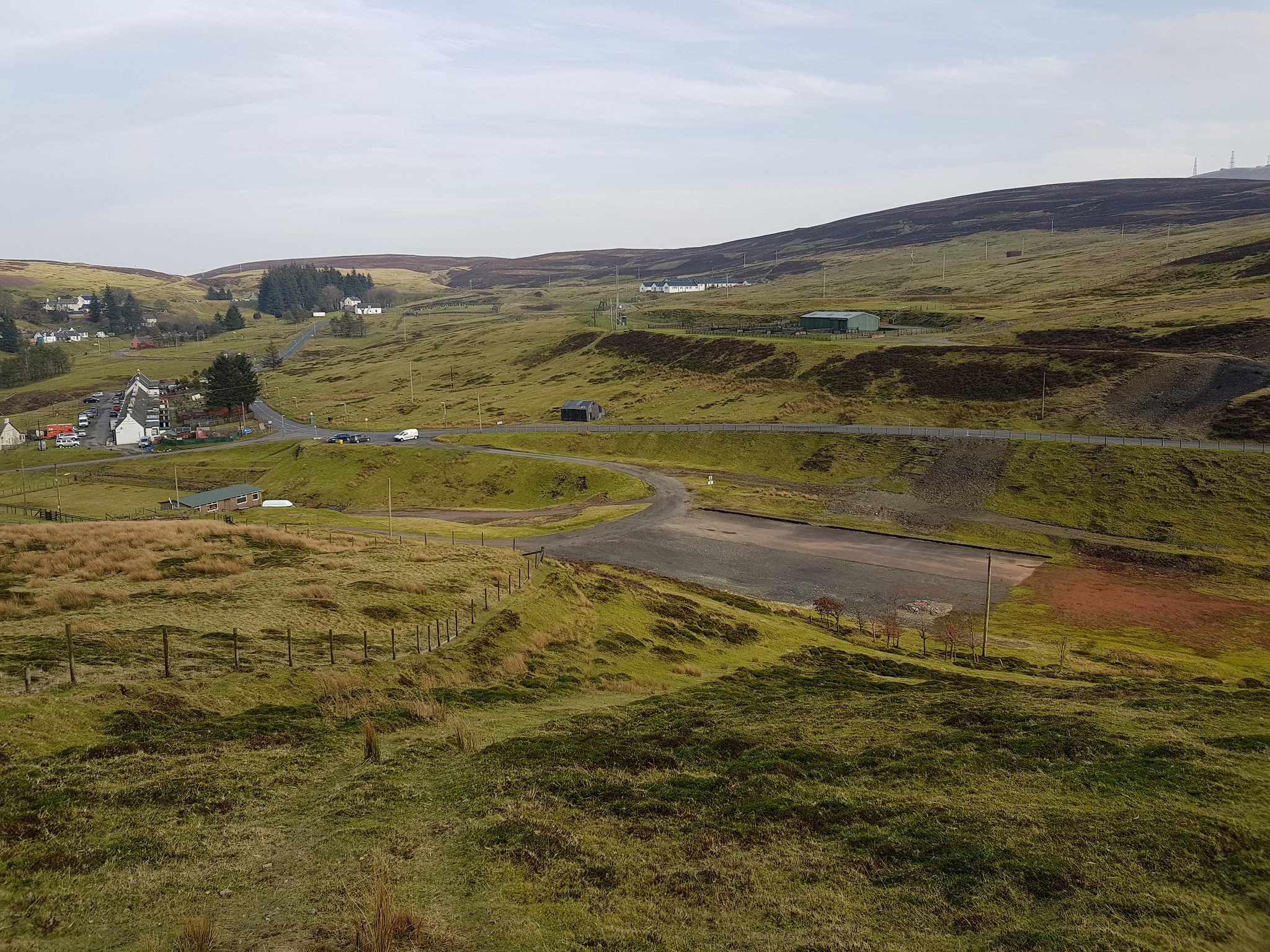
Looking down on the 'overflow' car park, but it doesn't say what for?
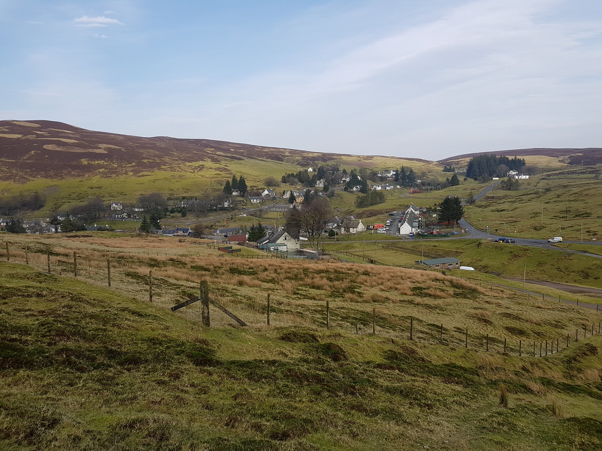
Looking back down on Wanlockhead
I had to stop for a photo as I had been trying to eat an apple whilst struggling for breath on the steep incline. I quickly came to the conclusion that huffing and puffing and eating an apple is very difficult and I wouldn't recommend it.

Looking across to the bigger hills - Lowthers
Still got a bit of ascending, the good thing is once the top of Black Hill is reached it is very easy after that

Wanlockhead from slightly higher up

Something burning over the hill
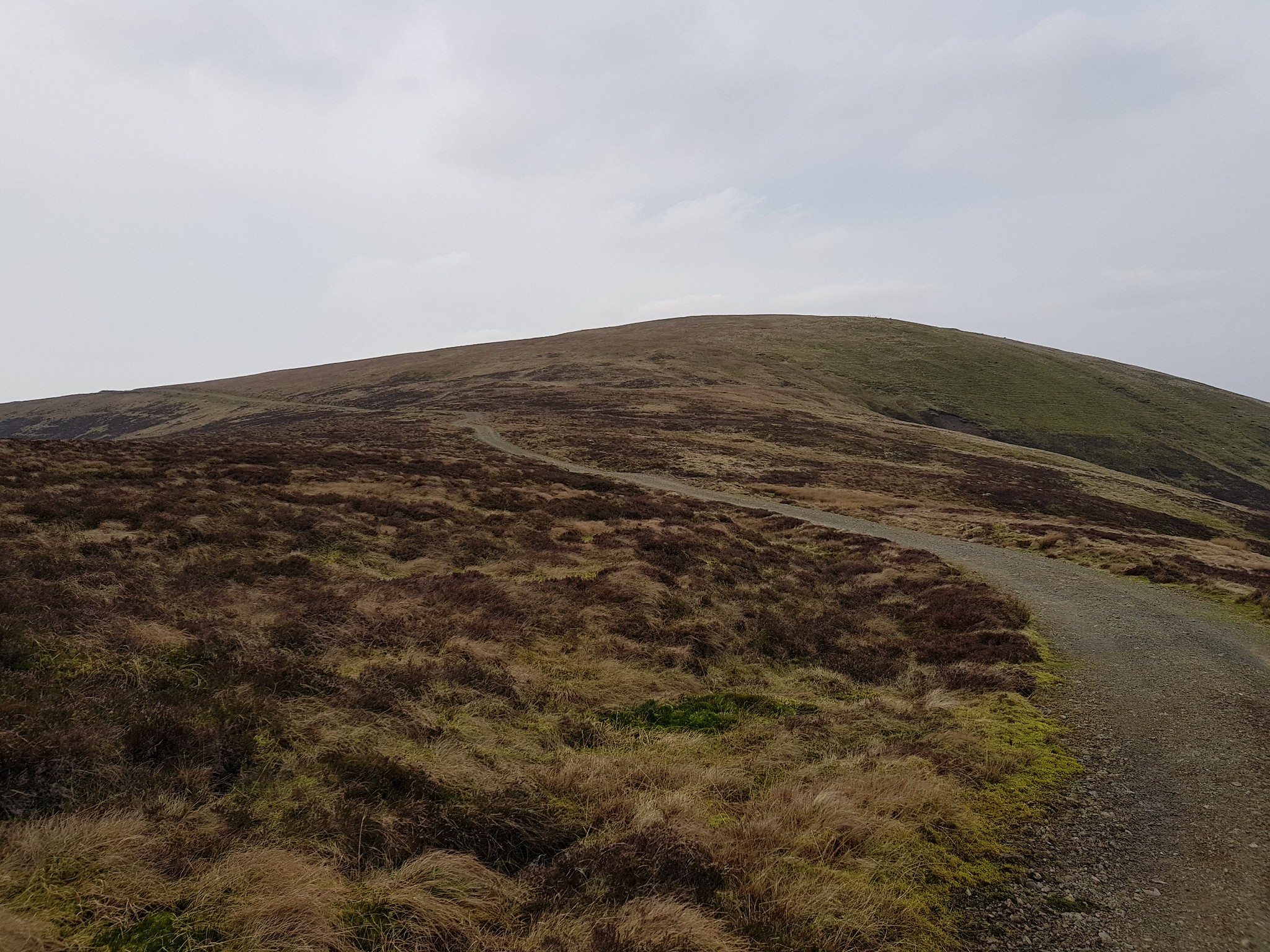
Track reached, followed it for 200m or so then straight up to the summit
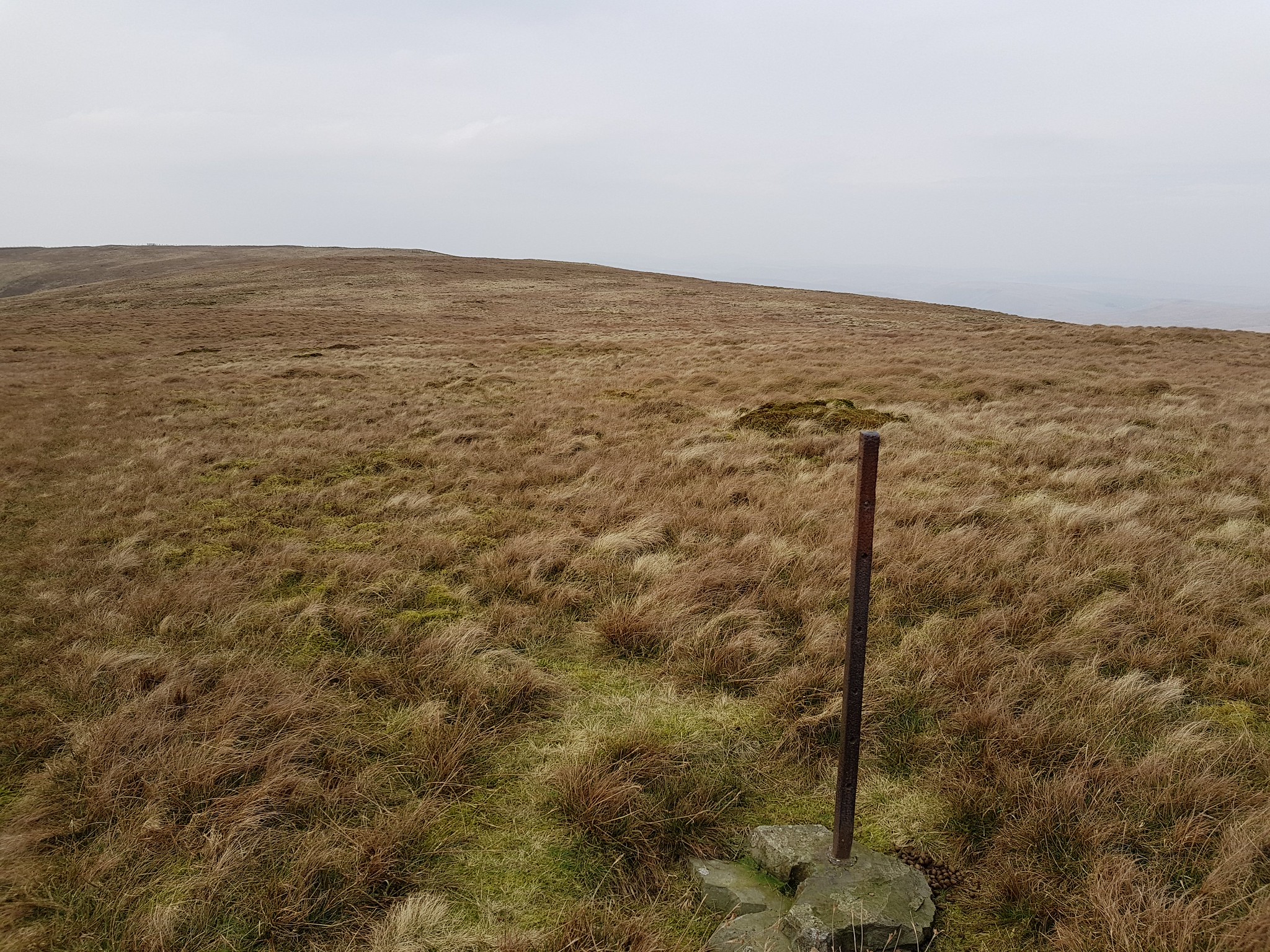
Pole in a dod of concrete marks the summit
I knew this was the summit of Green Hill, however looking west to the gate and the fence the ground looked higher, so I wondered over and it is one of many optical illusions. According to my watch it is a couple of metres lower.
The higher spot to the west
Video taken on the summit of Green Hill
Video taken looking across to the Lowthers and down onto Wanlockhead
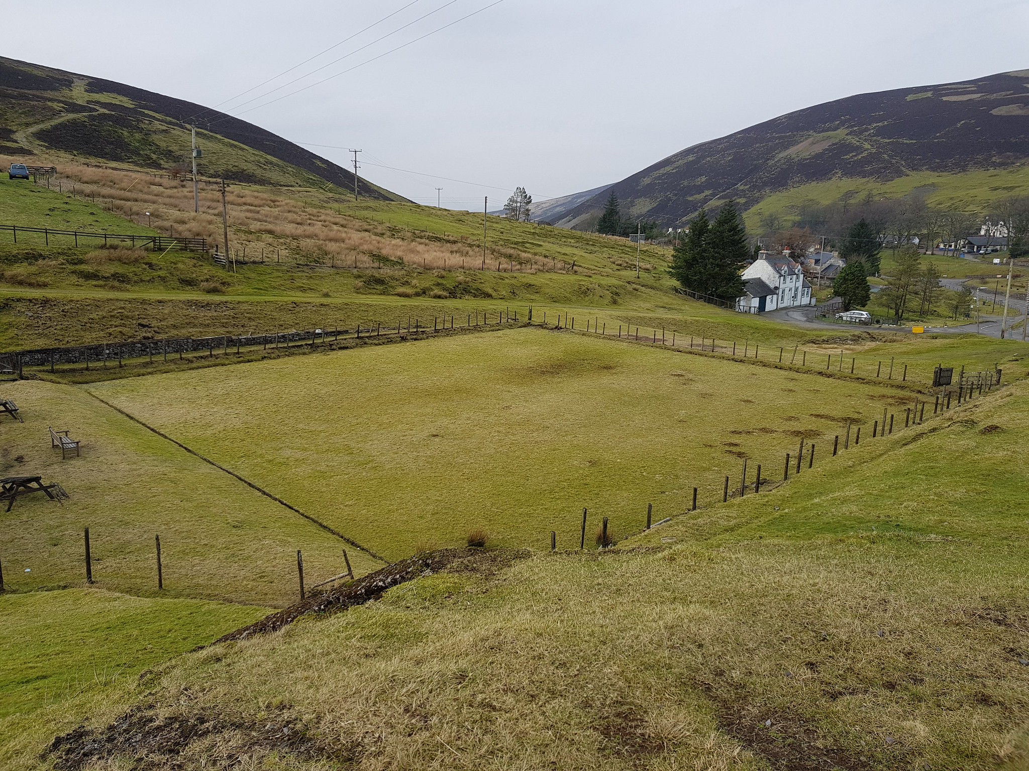
I parked overlooking what looks like the 'old' bowling green
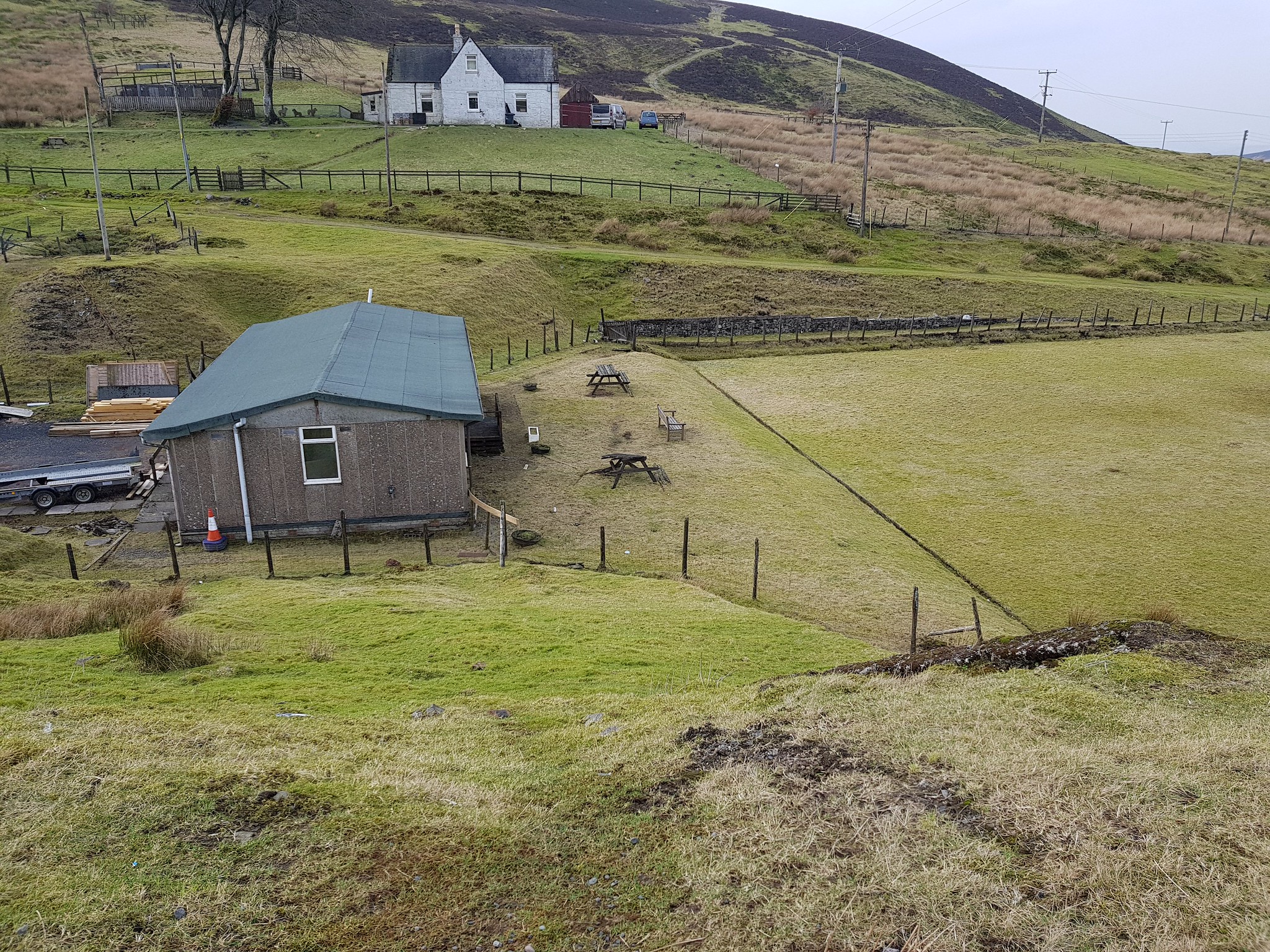
The old clubhouse?
An enjoyable afternoon and it was great to get out again, Hods Hill in my opinion was the better of the 2 hills, Green Hill is literally a straight up and down if you tackle it from Wanlockhead.
