free to be able to rate and comment on reports (as well as access 1:25000 mapping).
Two weeks since my last outing and I have been suffering with achy legs and as the first GP appointment isn't for 3 weeks I have been self diagnosing or trying to. Basically I have no idea what is wrong but the aching pain is not a recipe for a good nights sleep. My plan was to tackle a nice easy gentle hill on the way home after my monthly family visit down south.
Well Hill seemed the obvious choice, next step which way to tackle it? Like most Marilyns the number of walk reports is limited, Well Hill has 6 which is about to be increased. Like most of my walks in the Borders I tend to try and tackle the hills head on, which is usually the shortest way, but not usually the easiest.
The only route similar to my planned route was by Tinto63, but he was more ambitious and wanted more!
I left Cheshire before 8am and then had to battle the Monday morning commuters, I am so glad I don't live down south and also don't have the commuting problem.
The trip down south was the first in my new car, which in theory is exactly the same as my old one, apart from a slightly different shade of blue and no Satnav. I have driven along the A702 umpteen times so had a rough idea where I was going, but like most folk these days, used my Smartphone to navigate. I found a nice wide layby about 30 yards from my planned start point.

My parking spot

The start was bang on the border and this proves it
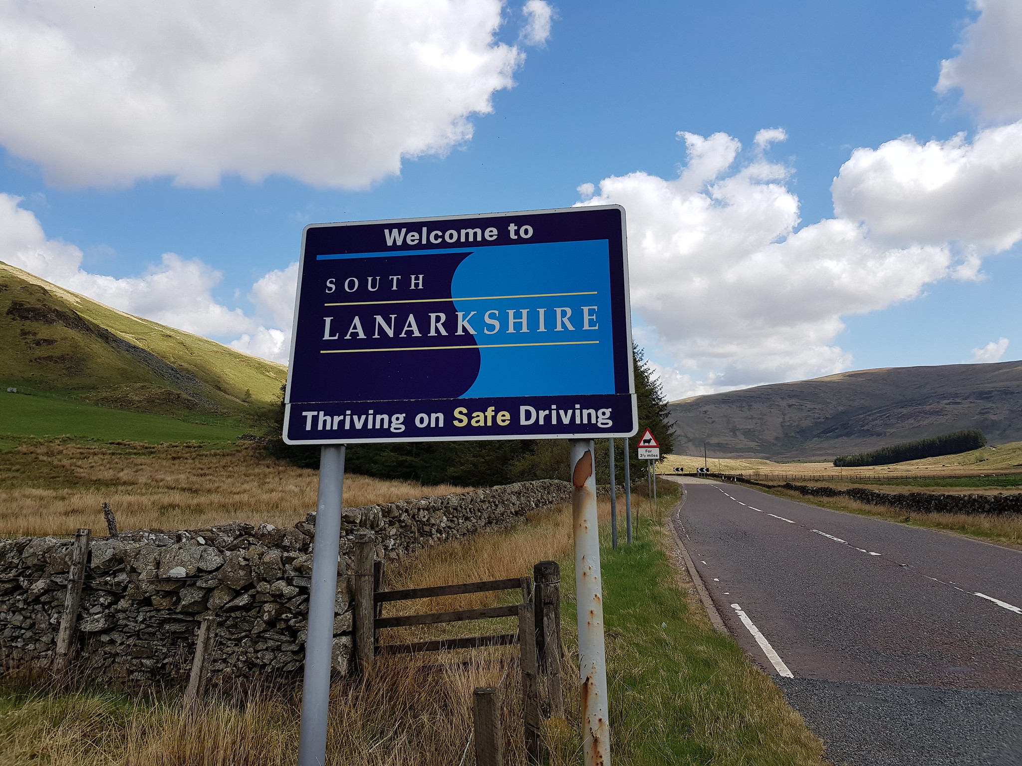
The other border sign

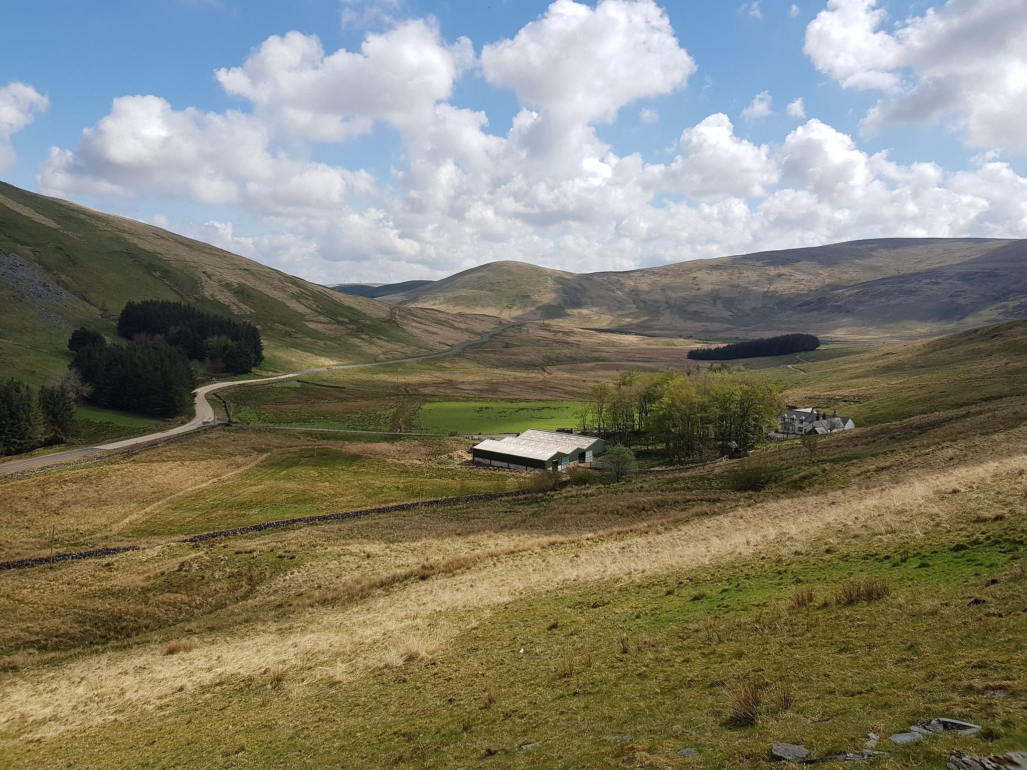
Looking down on the car, I was taking every opportunity to stop as the ascent was a real struggle

Next photo
Looking east

Looking across to the Lowthers

Peat hags, noy my favourite obstacle, luckily the ground is dry so they weren't a problem
My route would have me following the fence all the way to the summit, the big decision I had to make was which side of the fence do I walk on. I opted to stay on the left for the ascent and that for a change turned out to be the smart move as the terrain on the other side of the fence was more challenging. The fence doesn't go in a nice straight line to the summit it wriggles in all directions, but I wasn't bothered about walking a few extra yards if the underfoot conditions were better where I was.

The highest round bit is Well Hill, looks further away than it actually was

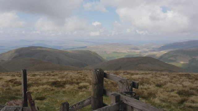
The view west from the summit of Well Hill
Video taken on the summit of Well Hill

Looking north to the Lowthers

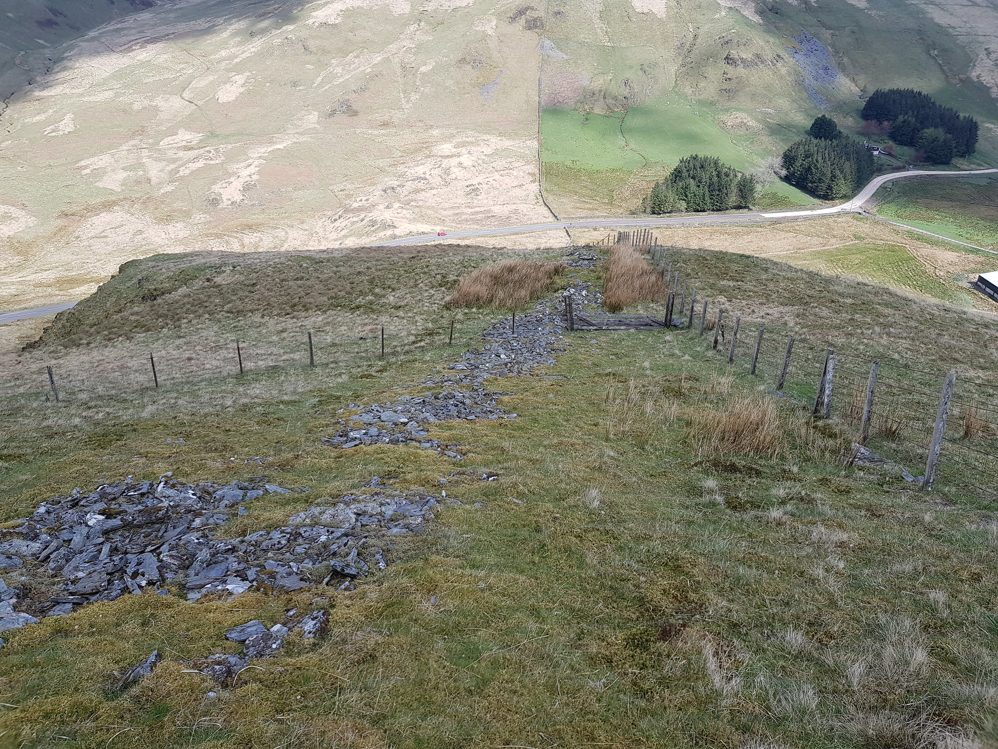
Time to head back down, it was certainly much easier than the struggle uphill. Large wind farm in the distance

Back at the peat hags again
Final descent, grass was dry so not a problem
This turned out to be an excellent little bit of exercise and just what my legs needed, I really enjoyed Well Hill and had I felt better and fitter I would definitely tagged on another nearby hill. I should also add that I am maybe being a little harsh on myself - when I plotted the route and compared my ascent time to Naismith I was a couple of minutes quicker!!
