free to be able to rate and comment on reports (as well as access 1:25000 mapping).
Time for one last group walk with the Stray Cats before we attempt the Three Lochs Way in a day. Not wanting to kill us before the big day meant it was the perfect time to visit Stronend and Carleatheran with the Gargunnock Hills promising a longer but easier ascent day of walking.
There would only be four of us due to injury, holiday commitments and one person in particular who was already doing a long distance walk up north. So just one car full today and I picked up the gang then we headed north from Milngavie then around to the east towards Kippen to try and find the car park.
Sat nav only got us so far before we found ourselves blocked by a gate into what looked like someone's castle, or at least a big house! I turned around then a loop round later we decided to ask a local who kindly pointed ut in the direction of Kippen to then double back on ourselves a road further south, advising that we would have to open a gate at one point but this was fine.
We finally made the parking spot and had lost some time but not to worry, the only deadline that evening was to get home in time for the champions league final.

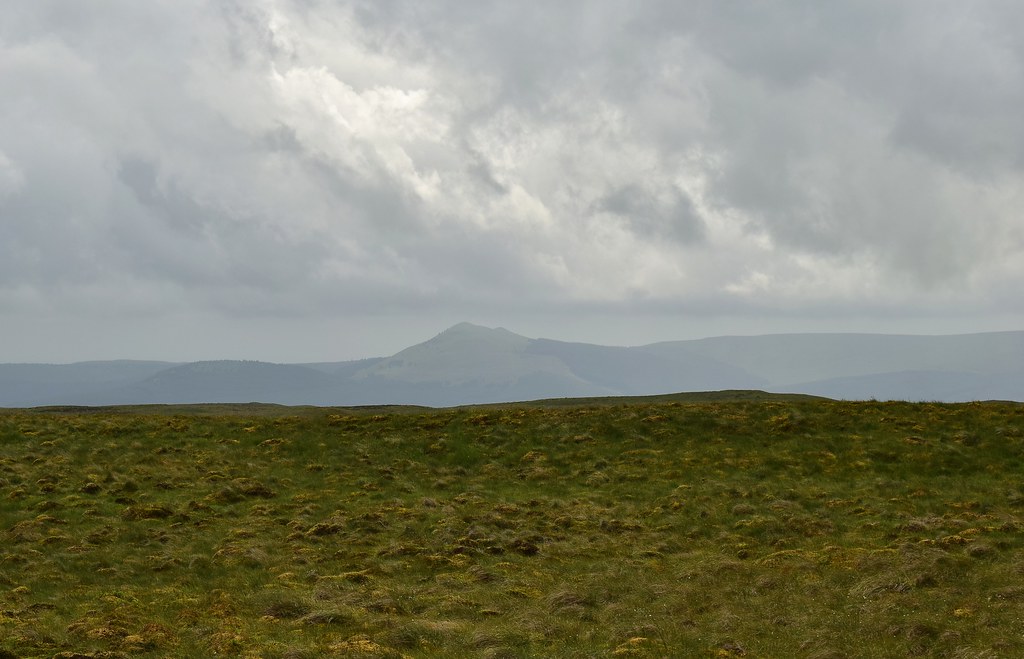
From the parking spot at the start we double back and head along the road with Stronend in view:
 DSC_0001
 by
Chris Mac, on Flickr
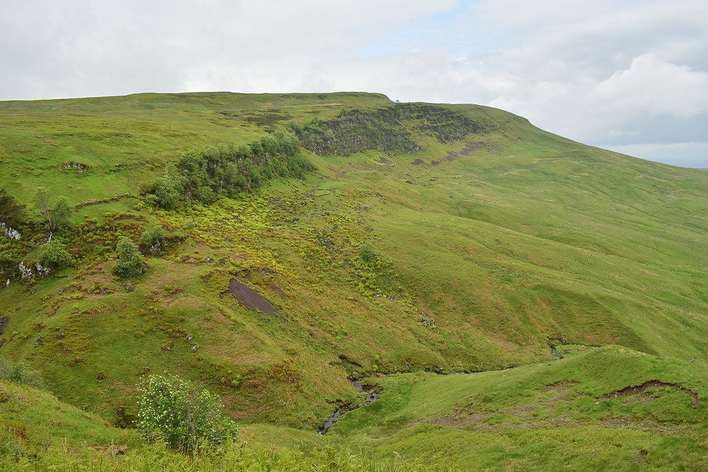
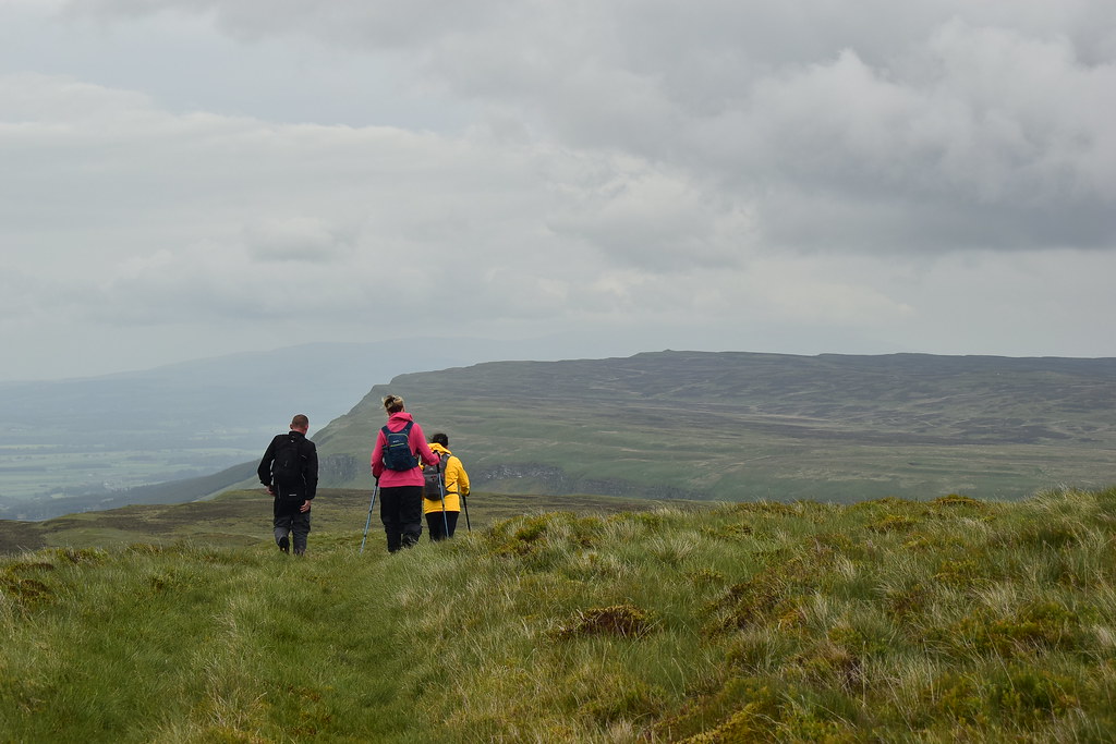
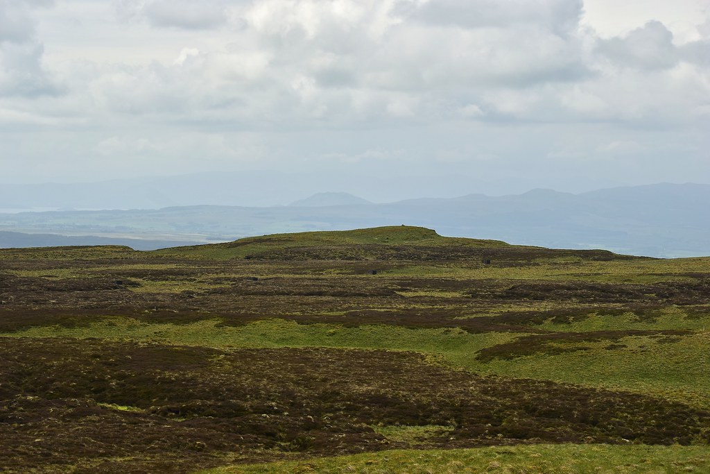
Through the gate towards Ballochleam, Lees Hill on to Carleatheran stretching out along the crags to our left:
 DSC_0002
 by
Chris Mac, on Flickr
I thought we'd do Stronend first to get the out and back section out of the way early on. It was also the route with more obstacles and a grassy path compared to a track so putting them through their paces early was preferable than later on when they may be grumpier at trying to kill them on yet another longer-than-advertised walk!


Through a few gates and we were heading towards Stronend then veering left and gradually up towards the Spout of Ballochleam waterfall:
 DSC_0008
 by
Chris Mac, on Flickr
Lees Hill on the left, a great looking sledging hill:
 DSC_0009
 by
Chris Mac, on Flickr
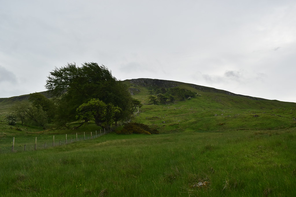
Complete with bendy trees, it must be quite windy here the majority of the time!
 DSC_0010
 by
Chris Mac, on Flickr
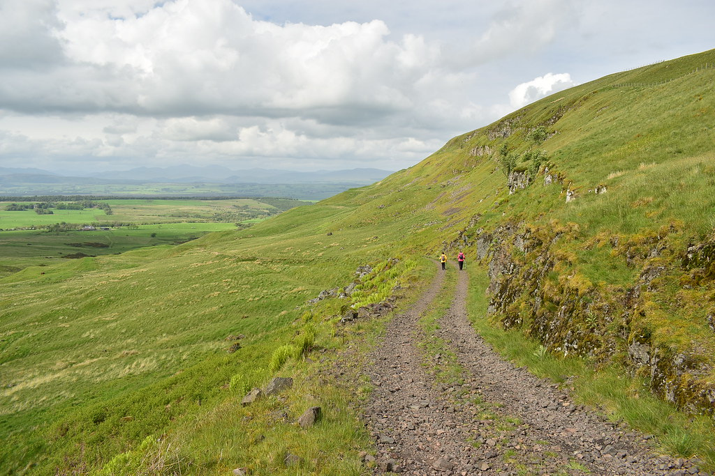
Good track, easy gradient, still in the good books!

 DSC_0011
 by
Chris Mac, on Flickr
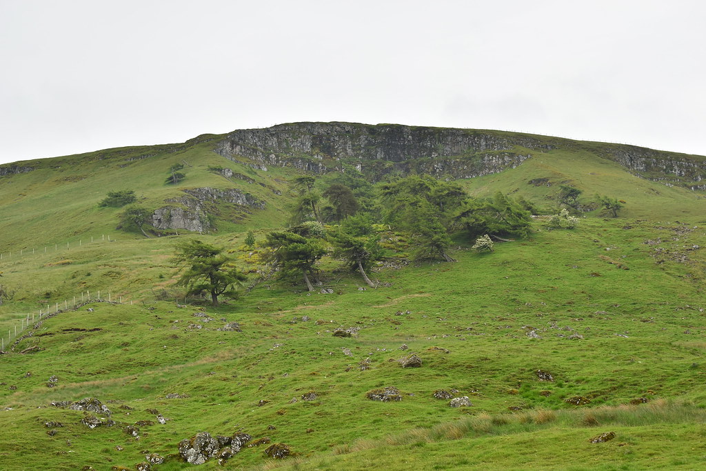
Stronend's crags and the Boquhan Burn, getting a bit more scenic now on our right:
 DSC_0012
 by
Chris Mac, on Flickr
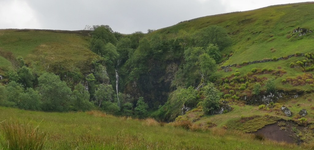
Spout of Ballochleam soon comes into view and looks great in spate:
 DSC_0017
 by
Chris Mac, on Flickr
Nice picnic spot:
 DSC_0018 IMG_20190601_104421
 by
Chris Mac, on Flickr
That way to the summit of Stronend:
 DSC_0021
 by
Chris Mac, on Flickr
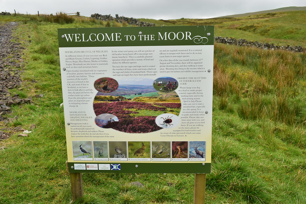
Through another gate and we're at the unnamed bealach between Stronend and Carleatheran, welcome to the Moor:
 DSC_0024
 by
Chris Mac, on Flickr
I tell the others the plan and we head over the gate towards the first Marilyn of the day:
 DSC_0025
 by
Chris Mac, on Flickr
Stronend:
 DSC_0026 IMG_20190601_105539
 by
Chris Mac, on Flickr
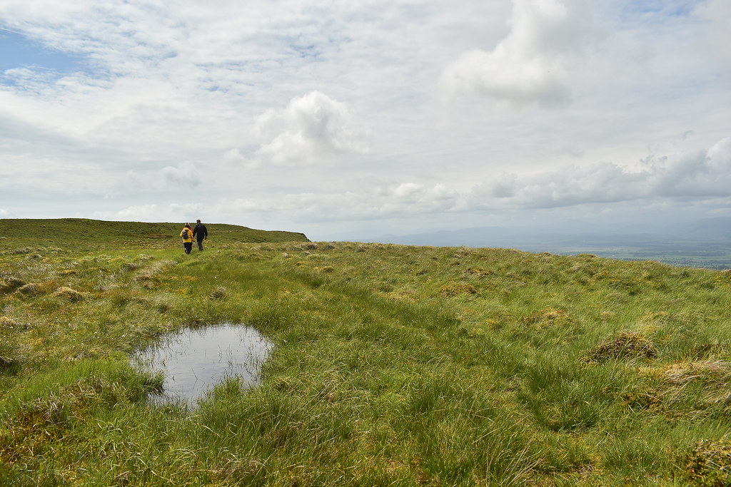
There is a decent quad track to follow that takes you through a few boggy sections and a flooded bit then down to the burn crossing point:
 DSC_0028
 by
Chris Mac, on Flickr
At the usual crossing point it was far too deep with all the recent rain and the burn was moving at some pace:
 DSC_0029
 by
Chris Mac, on Flickr
I decided to head upstream to find a shorter crossing point or big boulders and had to go a fair bit up before finding a fence post across:
 DSC_0030
 by
Chris Mac, on Flickr
The others followed and despite some initial hesitation soon came over, aided by holding a walking pole held at the other side, expertly done, all four still dry!

Back downstream to rejoin the path:
 DSC_0031
 by
Chris Mac, on Flickr
Bouhan Burn has a lovely waterfall:
 DSC_0033
 by
Chris Mac, on Flickr
 DSC_0035
 by
Chris Mac, on Flickr
After brielfy overshooting it we're soon back on the continuing grassy quad track:
 DSC_0036
 by
Chris Mac, on Flickr
As we approach the boulder shown on the hillside in the pic below we leave the double track to join a single grassy path past the boulder:
 DSC_0037 IMG_20190601_113210
 by
Chris Mac, on Flickr
Behind us to the south Meikle Bin has popped into view:
 DSC_0044
 by
Chris Mac, on Flickr
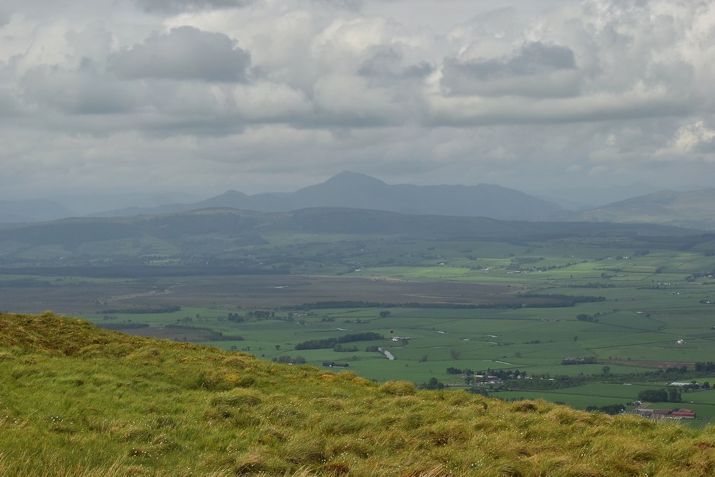
The mountains to the north were still covered in cloud and it had threatened to get sunny a few times but was luckily remaining dry and our two summits had been free of clouds all day so far.
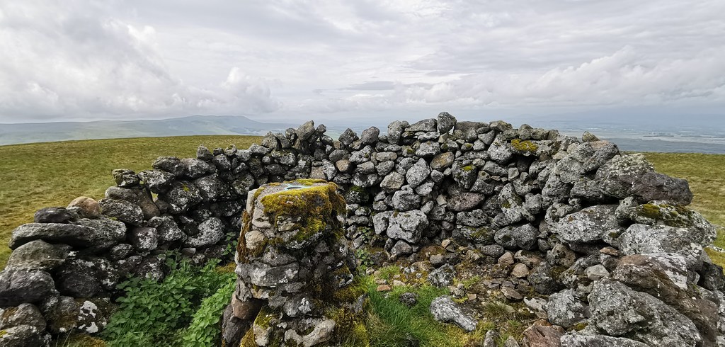
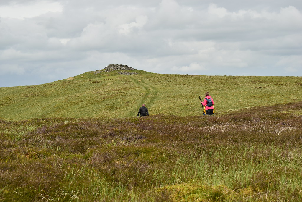
We join another quad track, there are a fair few up here, that leads us straight to the large summit shelter cairn with trig point topping, BHK's favourites and i'm liking them more and more too. Just add a tarp and you have an instant tent, need to try it...

 DSC_0047
 by
Chris Mac, on Flickr
Wullie approaches the summit:
 DSC_0052
 by
Chris Mac, on Flickr
Campsies visible to the west but Loch Lomond and the bigger hills are still hidden:
 DSC_0053 IMG_20190601_114710
 by
Chris Mac, on Flickr
Earl's Seat:
 DSC_0056
 by
Chris Mac, on Flickr
Meikle Bin:
 DSC_0059
 by
Chris Mac, on Flickr
North...

 DSC_0063
 by
Chris Mac, on Flickr
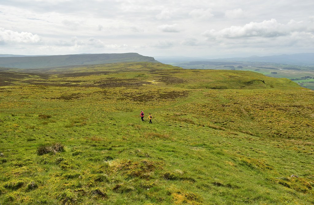
We sit and enjoy our lunch at the summit, the gang are in good spirits and enjoying the walk. Refueled we decide tos et off again and make fast progress back the way we came on the good grassy paths. Our destination, Carleatheran, looks a fair distance away!

 DSC_0067
 by
Chris Mac, on Flickr
With the miles this lot have covered over the last few months this will be a breeze!
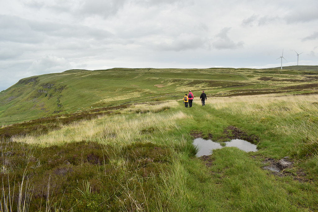
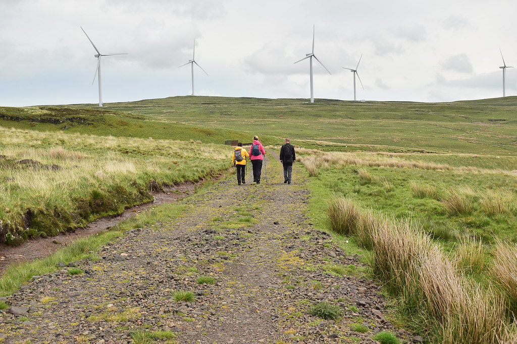
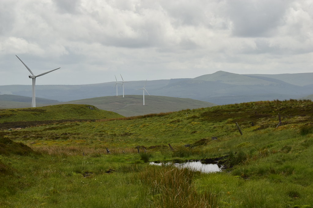
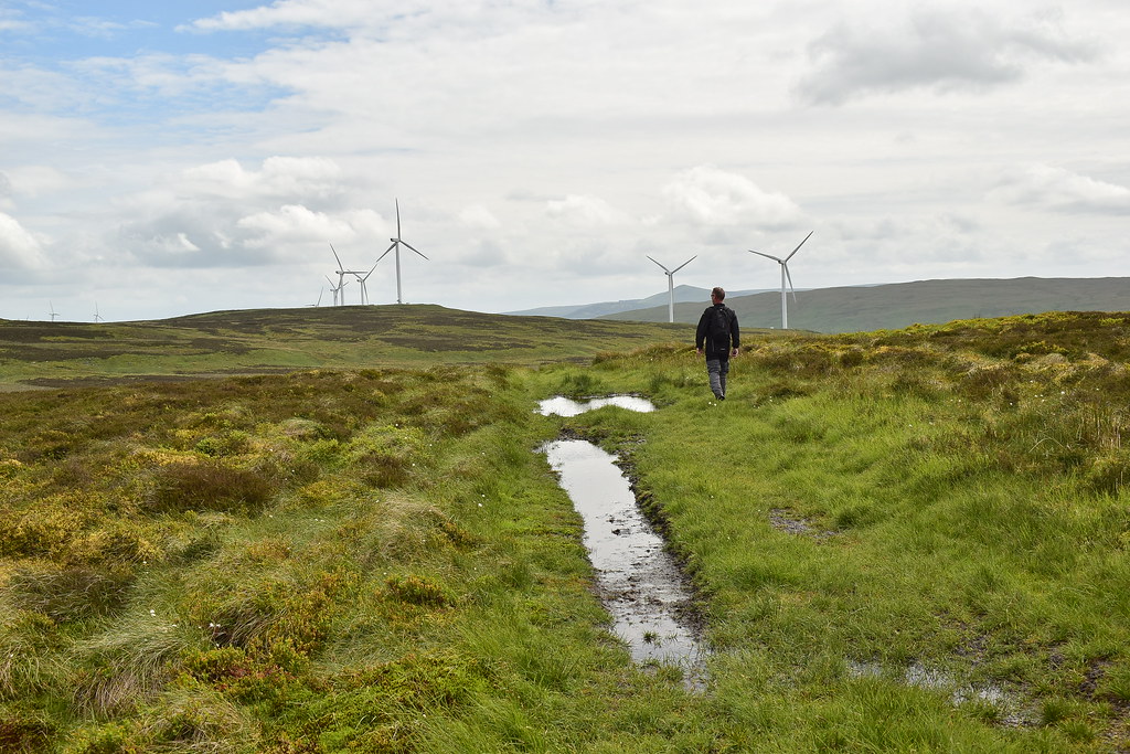
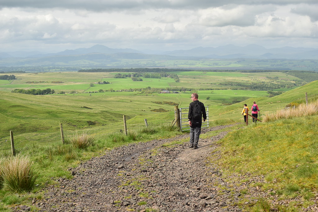
We're heading back down to the track then for the easier ascent we'll head right towards the wind turbines then east north east to the summit...
 DSC_0070
 by
Chris Mac, on Flickr
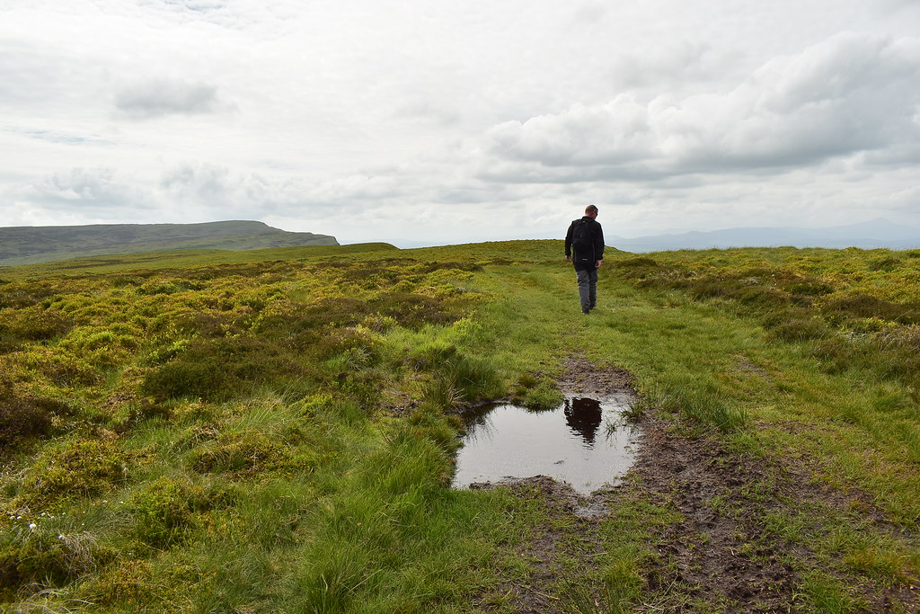
...before coming back down the grassy ridge path slightly north shown here:
 DSC_0077
 by
Chris Mac, on Flickr
We soon reach the Boquhan Burn crossing point again and from the higher vantage point it looks like it will be easy to cross just next to the path after all, typical!
 DSC_0080
 by
Chris Mac, on Flickr
I find a couple of large boulders and we cross easily:
 DSC_0083
 by
Chris Mac, on Flickr
Passing the flooded section where you take a higher up path through the grass:
 DSC_0088
 by
Chris Mac, on Flickr
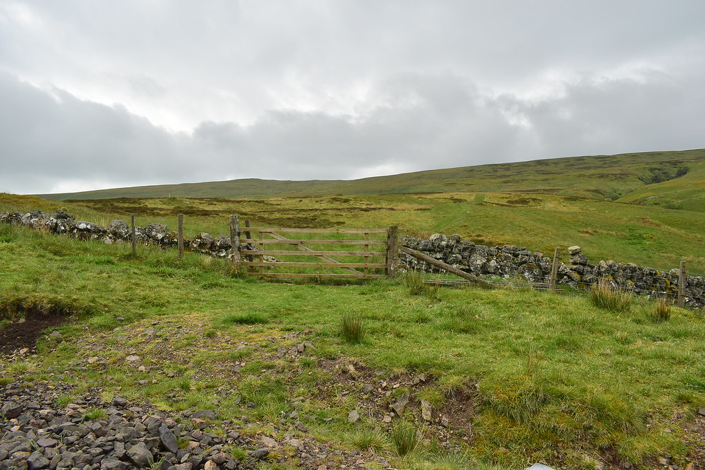
Back through the gate to the track we have a quick water break:
 DSC_0094
 by
Chris Mac, on Flickr
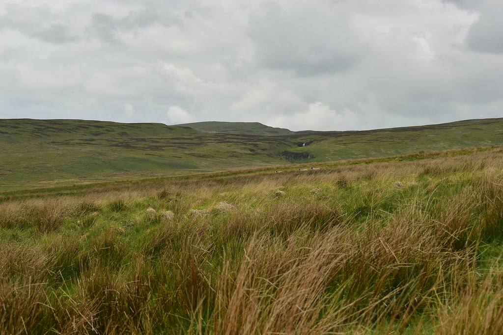
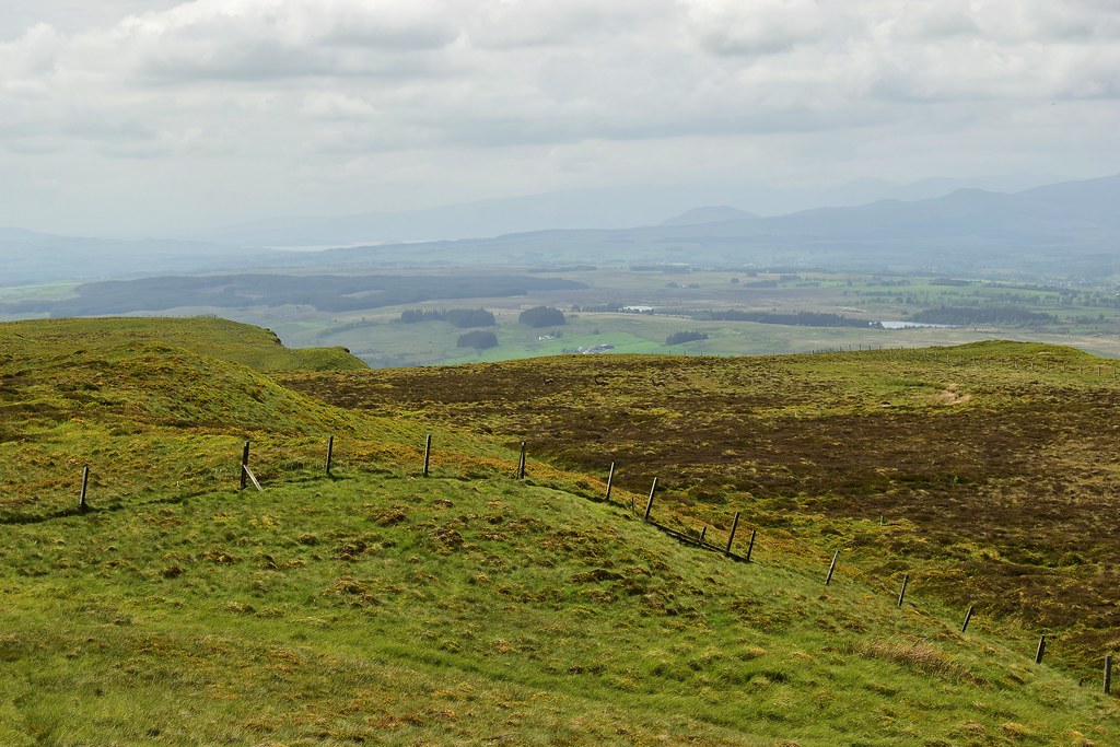
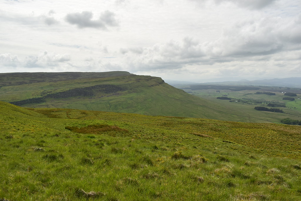
Looking south east to Cairnoch Hill:
 DSC_0096
 by
Chris Mac, on Flickr
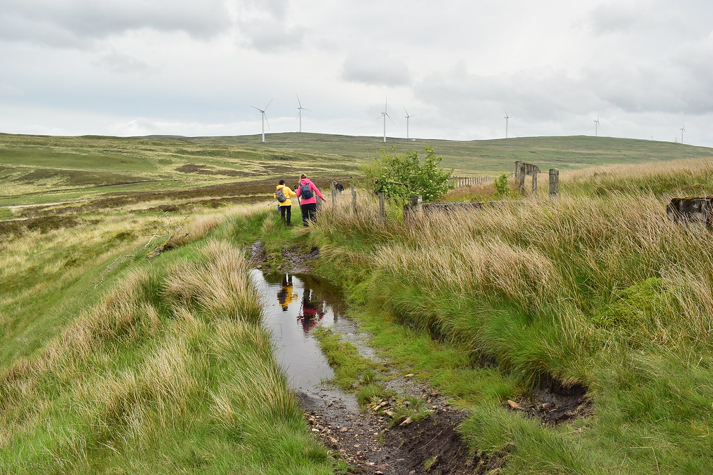
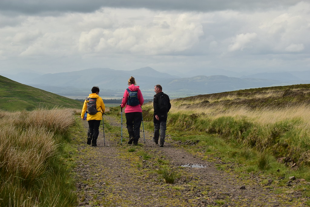
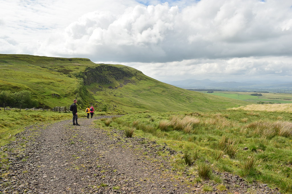
We head in the same direction along the track and everyone is happy to have an easy track and gradient to follow:
 DSC_0098
 by
Chris Mac, on Flickr
Looking back at Stronend, seems miles away now! Our descent was fairly quick:
 DSC_0100
 by
Chris Mac, on Flickr
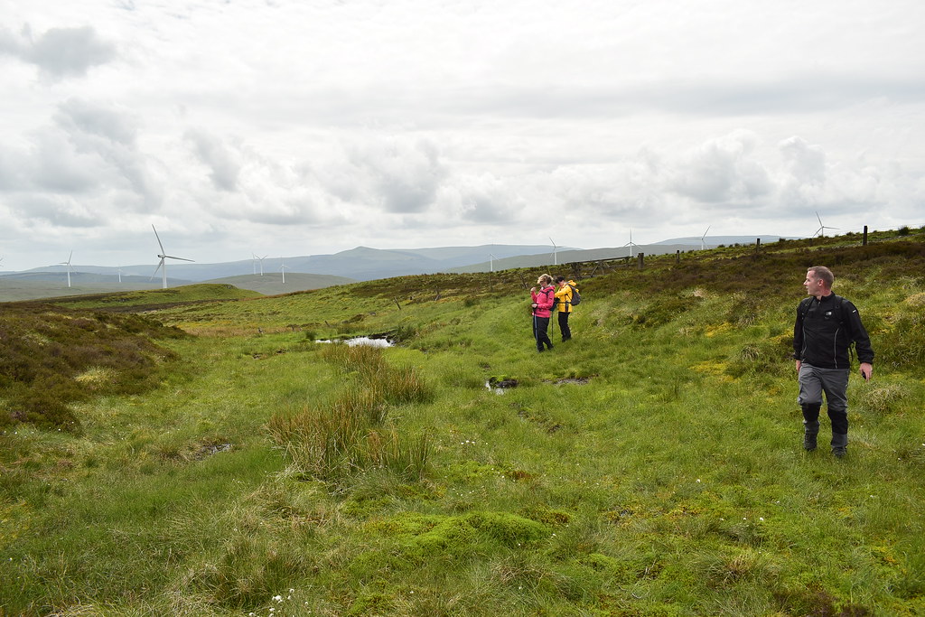
We see a couple aproach us at the other side ot the ford at Gourlay's Burn and the head to my left to cross further up. Janice and Wullie were ahead and I wonder what Janice will make of this next obstacle... a large fast flowing burn in spate that we need to cross!
Now from previous walks Janice has spent a lot of time on her arse falling over tufts of grass, complainaing about steep paths, all in good humour of course but I was a bit worried how she may react since her Boquhan Burn crossings had been a bit nervous.... I need not have worried, as I caught up and looked over to see Tarzan's Janice swinging her way across the fence commando style!!
 DSC_0101
 by
Chris Mac, on Flickr
Naturally Wullie was filming this in case it came in handy as blackmail material when they get back to work.
I went next and it was actually a tricky crossing due to the thin wire to grab onto that was also a little loose. All four across safely we continued uphill:
 DSC_0104
 by
Chris Mac, on Flickr
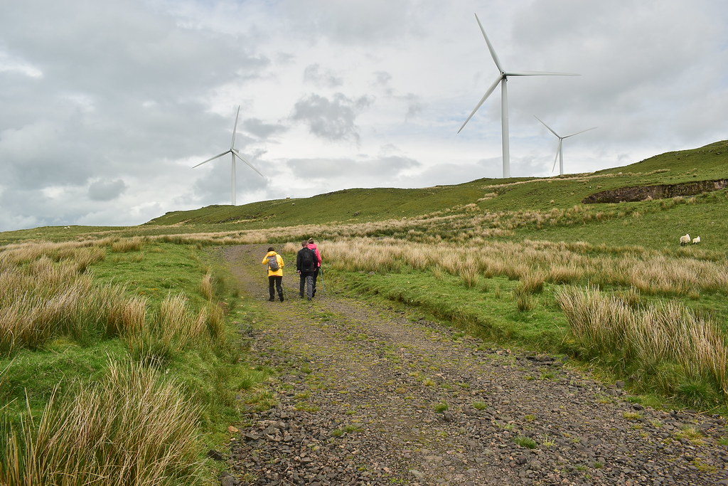
Apart from the turbines ruining the view and peace we gain height to over 400m fairly quickly:
 DSC_0111
 by
Chris Mac, on Flickr
It's now just a nice undulating 60 or so metre gradual climb to the summit of Carleatheran:
 DSC_0112
 by
Chris Mac, on Flickr
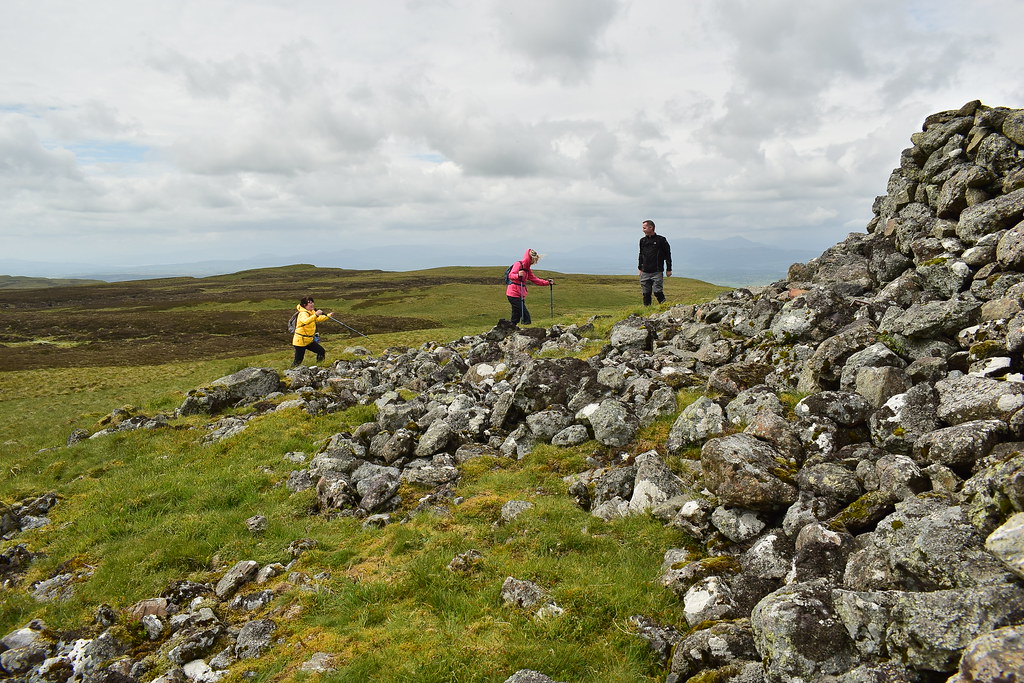
It's another good looking, rocky summit:
 DSC_0113
 by
Chris Mac, on Flickr
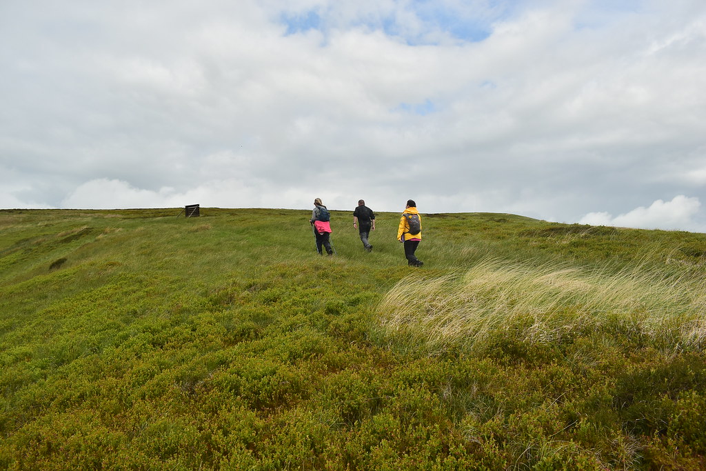
We walk and blether and after a bit we leave the track and follow an obvious grassy path direct to the summit:
 DSC_0119
 by
Chris Mac, on Flickr
Meikle Bin behind us:
 DSC_0123
 by
Chris Mac, on Flickr
Earl's Burn Reservoir 1 and 2 (I come on civil engineers, a bit of naming imagination please!
):
 DSC_0124
 by
Chris Mac, on Flickr
Final grassy section:
 DSC_0126
 by
Chris Mac, on Flickr
 DSC_0131
 by
Chris Mac, on Flickr
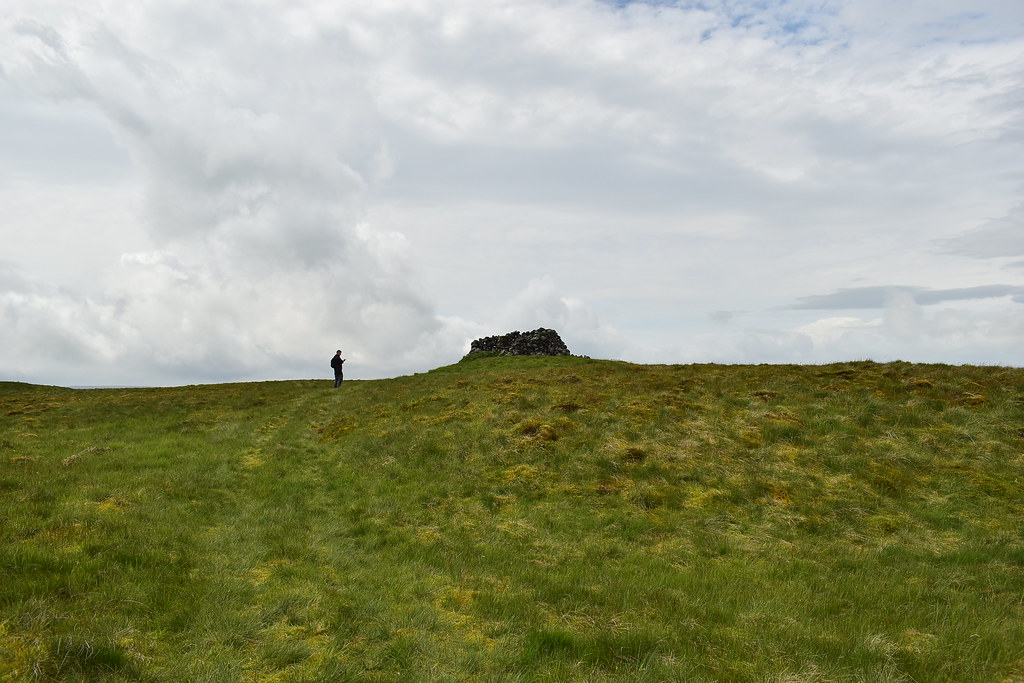
Summiting:
 DSC_0132
 by
Chris Mac, on Flickr
Janice jumped for joy!
 DSC_0134
 by
Chris Mac, on Flickr
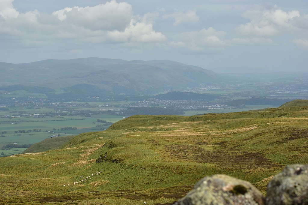
We sat and enjoyed lunch part 2 in yet another good summit sheltern cairn with trig point and the view was also clearing up a little, with the Ochils, Stirling and the Wallace Monument more visible than earlier:
 DSC_0138
 by
Chris Mac, on Flickr
Earl's Burn Reservoirs:
 DSC_0143
 by
Chris Mac, on Flickr
Barely visible from the closer Stronend, I pointed out Conic Hill again directly to the west of us:
 DSC_0150
 by
Chris Mac, on Flickr
Conic Hill's lumpy summit ridge in the distance:
 DSC_0151
 by
Chris Mac, on Flickr
We're now a few kilometres north of Stronend where we were earlier and you can just make out Ben Bowie beyond it:
 DSC_0152
 by
Chris Mac, on Flickr
Meikle Bin from Carleatheran:
 DSC_0156
 by
Chris Mac, on Flickr
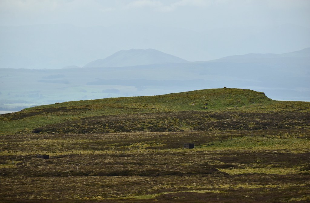
All that was left now was to head back down on the grassy path along the top of the crags to the north and over Lees Hill back to the Spout of Ballochleam:
 DSC_0157
 by
Chris Mac, on Flickr
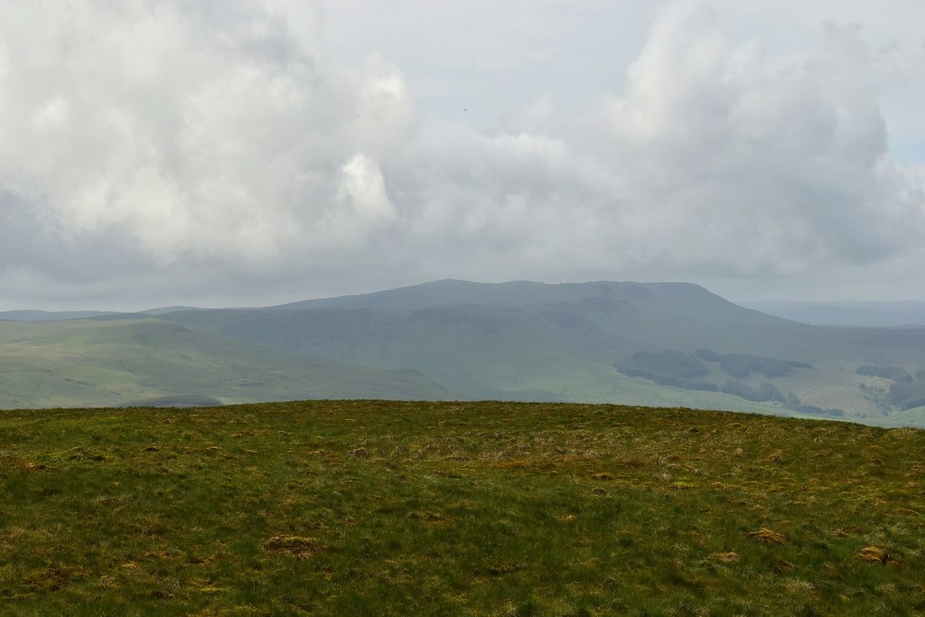
At last it was clearing up at the southern highlands:
 DSC_0158
 by
Chris Mac, on Flickr
Ben Venue in view:
 DSC_0159
 by
Chris Mac, on Flickr
Stuc Odhar, Ben Ledi and Ardnadave Hill:
 DSC_0160
 by
Chris Mac, on Flickr
Beinn Each, Stuc a' Chroin and Ben Vorlich:
 DSC_0162
 by
Chris Mac, on Flickr
It's a very pleasant walk back down:
 DSC_0165
 by
Chris Mac, on Flickr
Loch Lomond and Conic Hill more visible:
 DSC_0170
 by
Chris Mac, on Flickr
This section of the walk had a fair few boggy sections and although some of us had gaiters i've encountered much worse. Over the stile we go as we continue on to Lees Hill:
 DSC_0173
 by
Chris Mac, on Flickr
 DSC_0181
 by
Chris Mac, on Flickr
That's more like it, the southern highlands have returned although only the southern guardians so far, the rest still awaken from their slumber:
 DSC_0184
 by
Chris Mac, on Flickr
Druim Ardoch, Callandar Craig and Tom Dubh in shadow behind Callander mirroring Beinn Each, Stuc a' Chroin and Ben Vorlich behind them:
 DSC_0190
 by
Chris Mac, on Flickr
A few twists and turns, now heading south towards Meikle Bin:
 DSC_0194
 by
Chris Mac, on Flickr
Looking back towards the still visible second summit of the day:
 DSC_0195
 by
Chris Mac, on Flickr
Meikle Bin again before we descend further and it disappears:
 DSC_0197
 by
Chris Mac, on Flickr
Almost at Lees Hill:
 DSC_0198
 by
Chris Mac, on Flickr
Stronend:
 DSC_0200
 by
Chris Mac, on Flickr
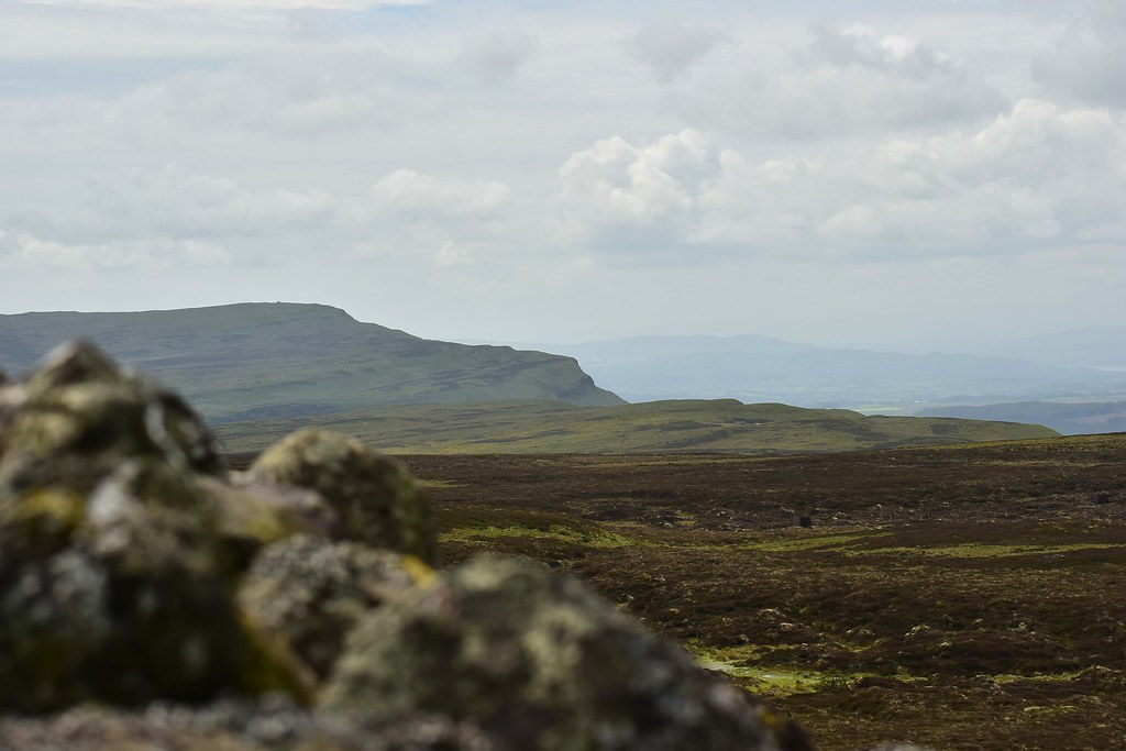
Those nice crags again:
 DSC_0203
 by
Chris Mac, on Flickr
And that nice view of the southern sentries of the highlands:
 DSC_0204 IMG_20190601_151144
 by
Chris Mac, on Flickr
Throughout the walk we had seen a fair few sheep and lambs like these ones:
 DSC_0206
 by
Chris Mac, on Flickr
We also saw a couple of sheep that were half-sheared, looking like they had escaped the clutches of the local farmer!
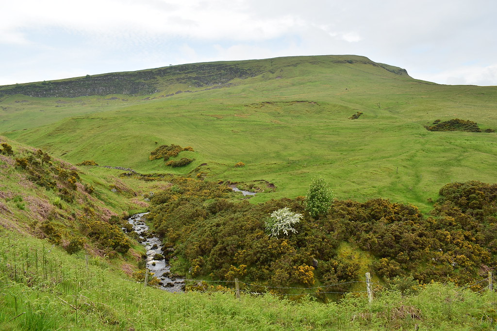
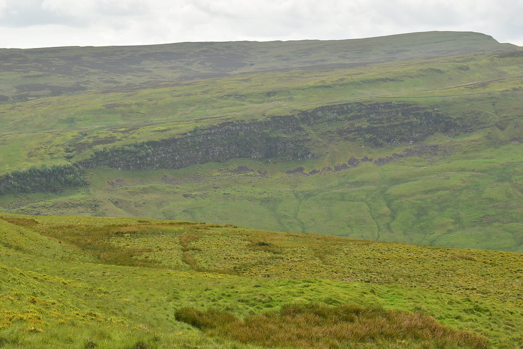
Boquhan Burn's small gorge coming down from Stronend:
 DSC_0208
 by
Chris Mac, on Flickr
Ben Lomond coming out of the mist:
 DSC_0210
 by
Chris Mac, on Flickr
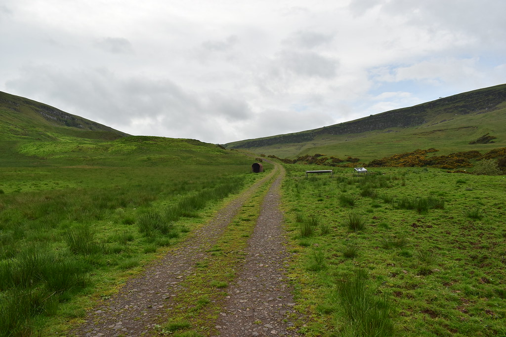
Almost back at the track:
 DSC_0214
 by
Chris Mac, on Flickr
We reach a man-made pond and observe a load of tadpoles swimming around:
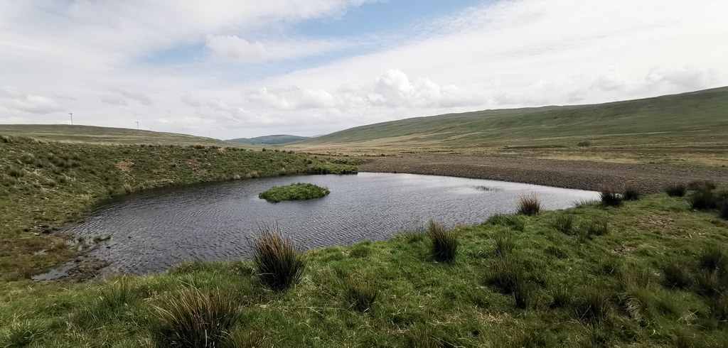 DSC_0215 IMG_20190601_152954
 by
Chris Mac, on Flickr
Heading back down the track:
 DSC_0219
 by
Chris Mac, on Flickr
 DSC_0221
 by
Chris Mac, on Flickr
It was turning into a nice day now as we went through the gate with Ben Venue, Ben Ledi and the other big Strathyre hills dominating the view:
 DSC_0225
 by
Chris Mac, on Flickr
Below the crags:
 DSC_0227
 by
Chris Mac, on Flickr
Easy going for the final section:
 DSC_0229
 by
Chris Mac, on Flickr
Sledging slopes:
 DSC_0232
 by
Chris Mac, on Flickr
Ben Ledi again with Stob Binnein and Ben More now visible back left:
 DSC_0233
 by
Chris Mac, on Flickr
Easy going now:
 DSC_0234
 by
Chris Mac, on Flickr
Cheerio Strathyre hills:
 DSC_0238
 by
Chris Mac, on Flickr
The two horses we had passed at the start of the walk when they were at the other side of the field were now at the side of the path so we stopped to feed them both some grass and say hello:
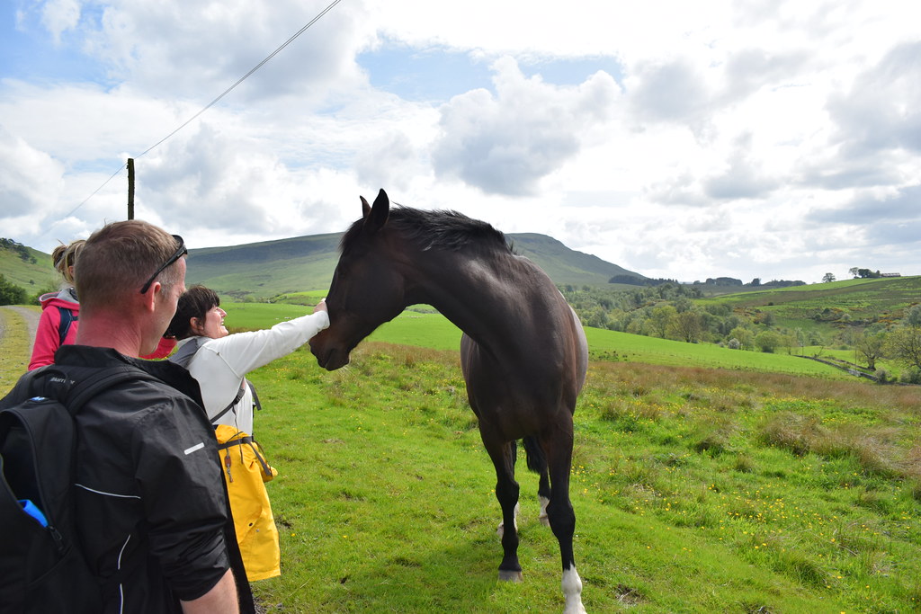 DSC_0247
 by
Chris Mac, on Flickr
The big fellah then posed for me as a final parting shot with Stronend in the background behind him:
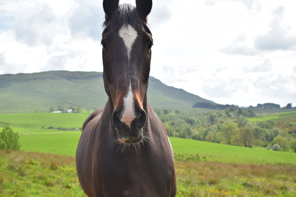 DSC_0248
 by
Chris Mac, on Flickr
We reached the car, 6.5 hours and 24.5km walked with 750m of ascent, not bad going. Everyone had enjoyed the walk and we were still dry, even better!
Instead of getting lost again going back the way we came
we set off directly west along the single track road towards Fintry before heading south to Glasgow and dropping everyone off. Job done, now on to the big one next week!

